







St. Gallenkirch via Innerziggam to Gortipohl and back
Poziom trudności: 2
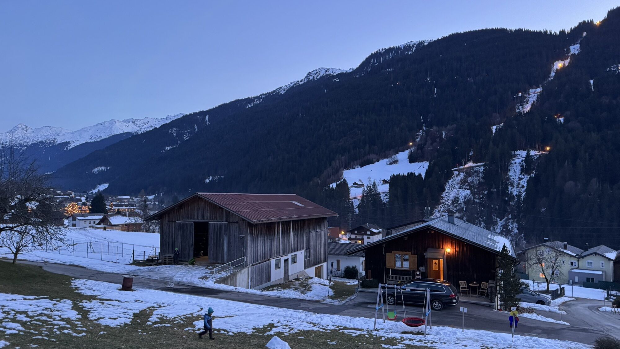
Already in the early 80s, history was made here with the construction of the world's largest gondola lift. Today, the Grasjoch Bahn connects the Hochjoch and the Silvretta into one of Austria's largest...
Already in the early 80s, history was made here with the construction of the world's largest gondola lift. Today, the Grasjoch Bahn connects the Hochjoch and the Silvretta into one of Austria's largest ski resorts with wide pistes for pleasure and sunny carving slopes. Away from the groomed runs, you experience the "untracked freedom" in powder snow. On the extensive deep snow slopes, both beginners and pros find their very own "freeride hotspot": designated routes, plenty of space to draw lines, and a lightly frequented backcountry area offer powder runs of the finest quality right into spring.

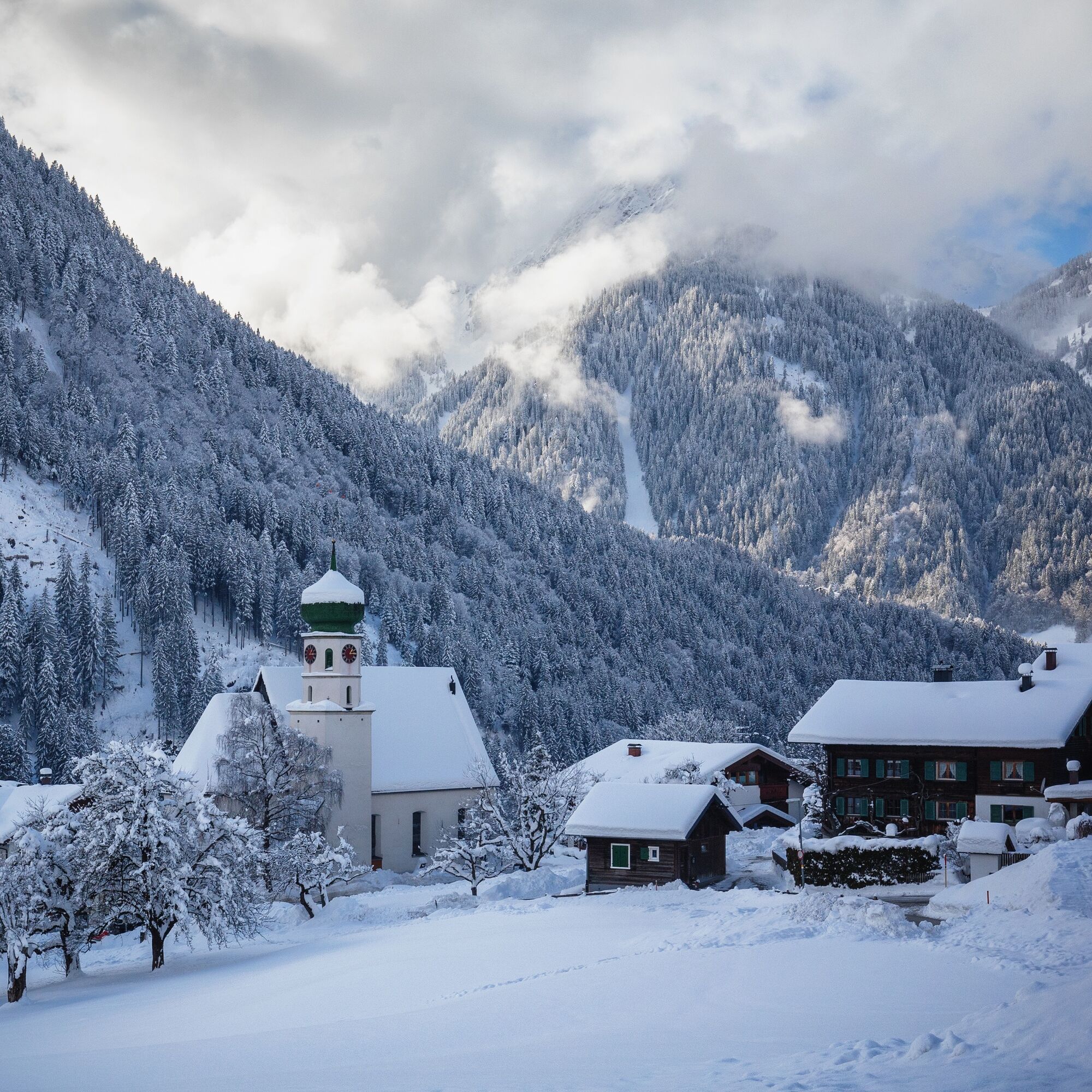
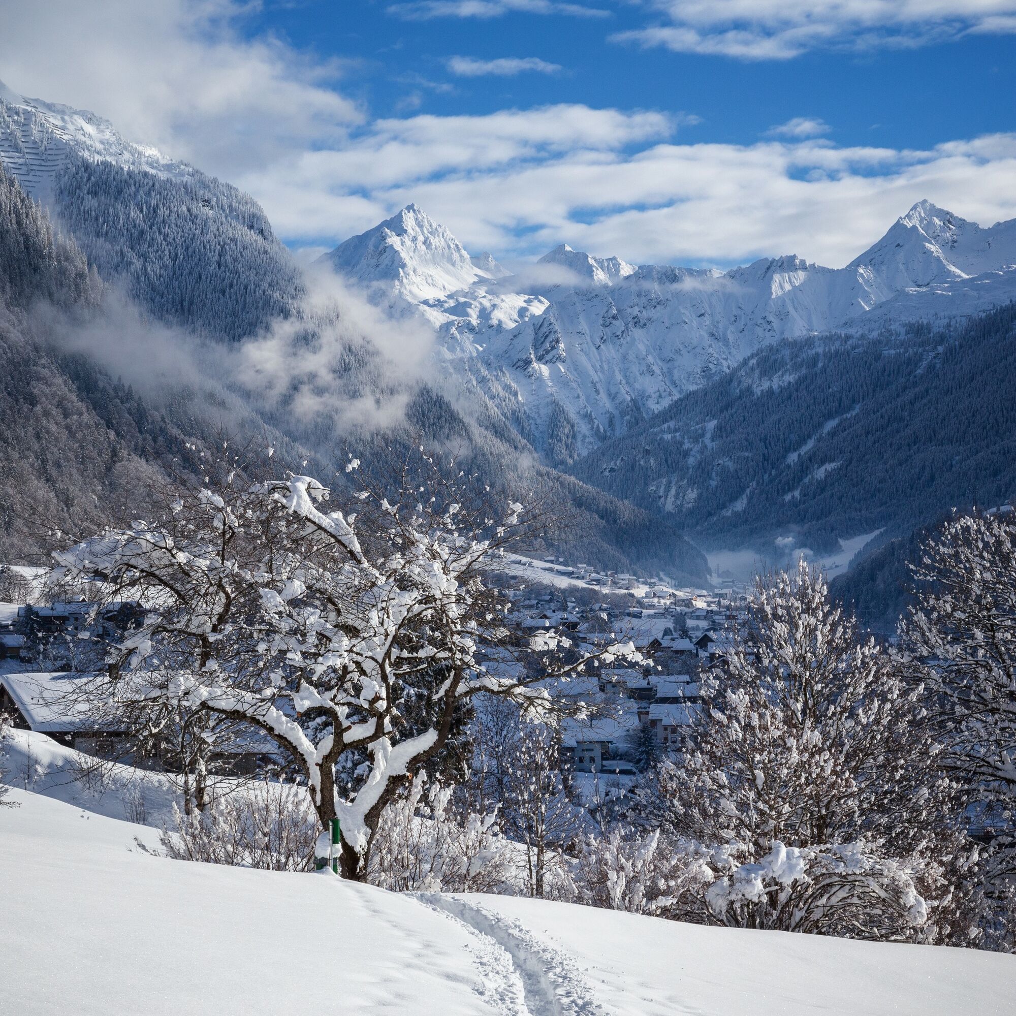

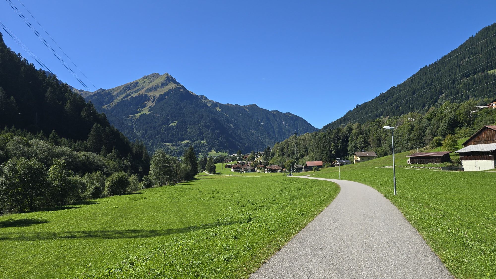
From the center of St. Gallenkirch, the path leads right at the intersection past the community hall. Shortly after, follow the marking to the right and walk cross-country until you reach the Ziggamweg. Follow this for about 500 m. Via the Hanswolfaweg, you reach Gortipohl via Innergant. Along the Allmeinweg, shortly thereafter, you reach the town center of Gortipohl. Then cross the main road and follow the Blendolmaweg to the promenade. Once there, turn right and follow the Ill downstream to the valley station of the Garfrescha Bahn. Cross the parking lot and continue downstream along the Illweg until you arrive at the next signpost. Then turn right and follow the path uphill back to the center of St. Gallenkirch.
Day hiking backpack (approx. 20 liters) with rain cover, comfortable and waterproof winter shoes or sturdy hiking boots, optionally crampons and gaiters, warm and weatherproof clothing in layers, hat/headband, scarf, gloves, sun and rain protection, provisions and drinking water, thermos with hot drink, first aid kit, pocket knife, mobile phone, optionally headlamp, map material, optionally telescopic poles
EMERGENCY CALL: 144
EU emergency number: 112 (works with any phone/network)
www.vorarlberg.travel/sicherheitstipps
Take the A14 to the Bludenz/Montafon exit and continue on the Montafonerstraße L188 to St. Gallenkirch.
Just leave your car standing
Local buses operate throughout the Montafon area. The main lines run every half hour from Schruns station.
Bus stop at the start/finish of the route: St. Gallenkirch Center / Line 85
Timetable: www.vmobil.at
Arrival by train to Montafon
From Bludenz station, the Montafonerbahn operates hourly (partly every half hour). There are also direct connections from Lindau (D) and from Bregenz.
Timetable: www.oebb.at
St. Gallenkirch center (paid)
2
 Uzyskaj wgląd
Zawsze na żywo z ponad 9 500 kamer internetowych. bergfex Jako użytkownik Pro, możesz teraz zobaczyć odpowiednie kamery internetowe dla wielu wycieczek w aplikacji wycieczki od. Pozwala to na bezpośredni podgląd aktualnych warunków.
Uzyskaj wgląd
Zawsze na żywo z ponad 9 500 kamer internetowych. bergfex Jako użytkownik Pro, możesz teraz zobaczyć odpowiednie kamery internetowe dla wielu wycieczek w aplikacji wycieczki od. Pozwala to na bezpośredni podgląd aktualnych warunków.
Popularne wycieczki w okolicy
-
5,0
Ski tour to the Lindauer Hut (1,744 m)
światłoWycieczka narciarska 14,0 km -
4,7
Smuggler’s path
średniTrasa tematyczna 8,60 km -
4,6
Over the historic mine and Fritzensee to Rellseck
średniWędrówka 7,25 km -
4,3
Golmerbahn Bergstaion Grüneck - Golmer Höhenweg - Geißspitze - Lindauer Hütte - Latschau
średniWędrówka 11,5 km -
4,7
Kristberg - Wasserstubental - Silbertal
światłoWędrówka 13,8 km -
4,5
Madrisella summit path
średniTrasa tematyczna 10,8 km -
4,8
Heilbronner lodge
średniWędrówka 13,0 km -
4,9
Alpgues Runde
średniWędrówka 9,21 km -
3,0
Bergstation Grüneck Golmerbahn - Alpe Latschätz - Lindauer Hütte - Latschau
światłoWędrówka 11,1 km -
3,3
Dalaas - Freiburgerhütte
średniWędrówka 8,40 km
Wędrówki i tropienie


Nie przegap ofert i inspiracji na następne wakacje
Twój adres e-mail została dodana do listy mailingowej.





