


From Vandans via Latschau to Tschagguns
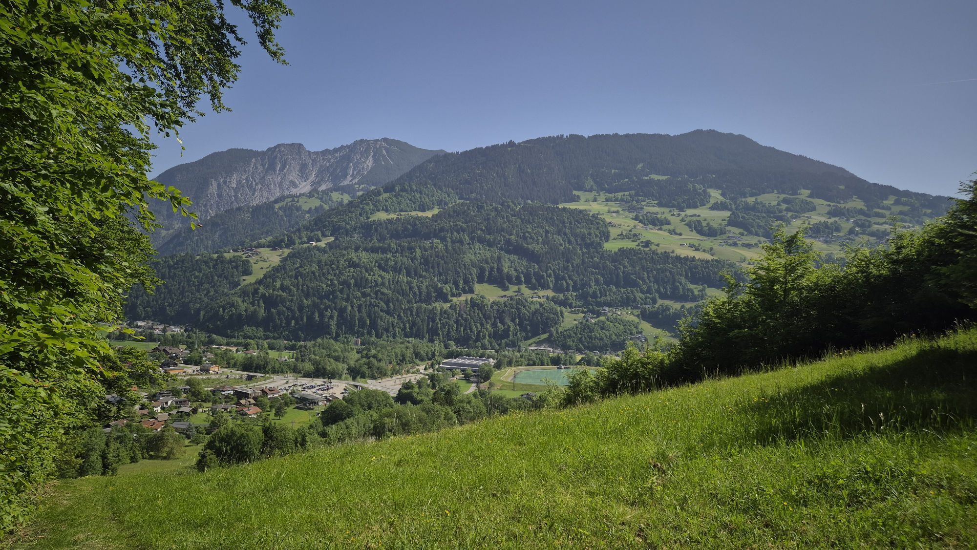
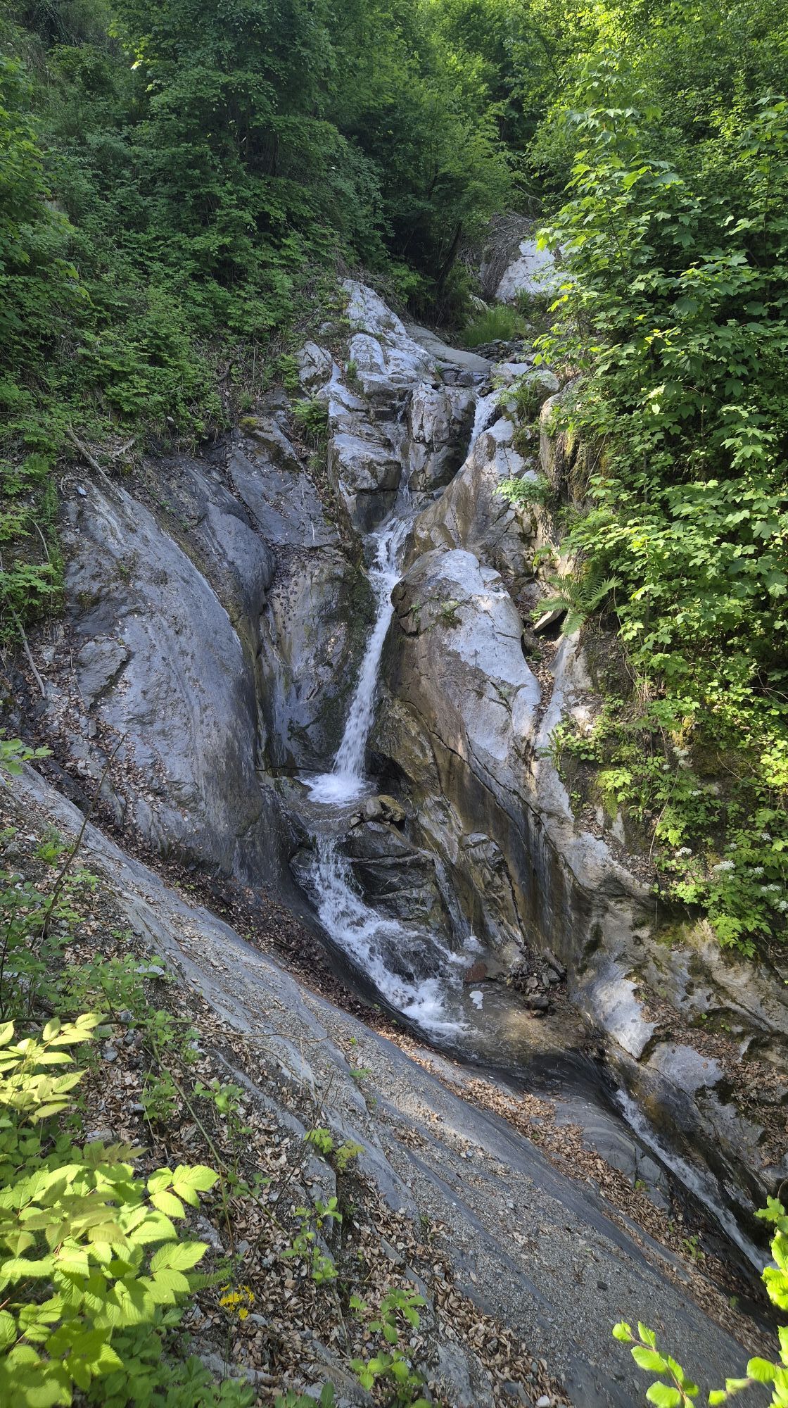
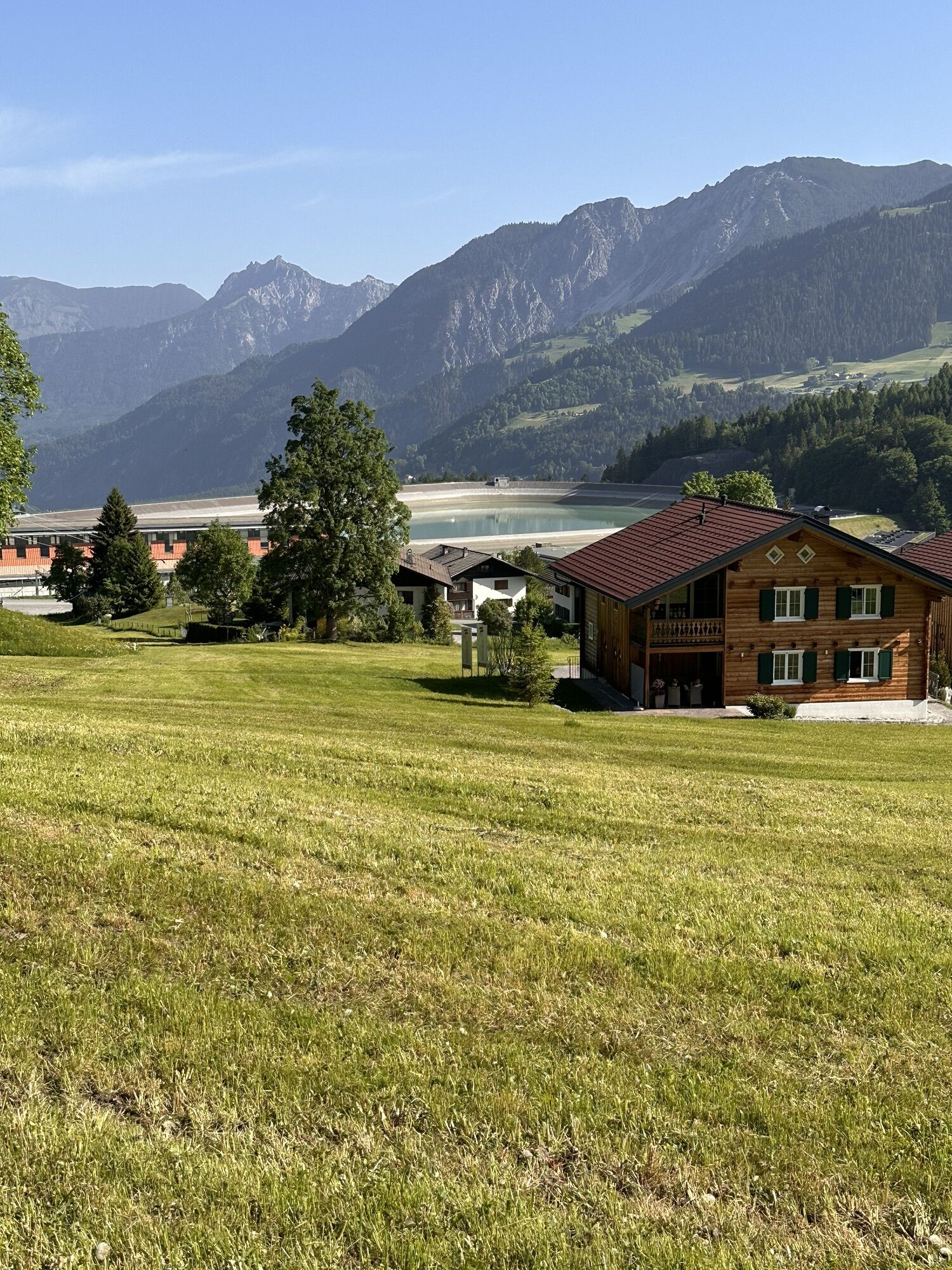
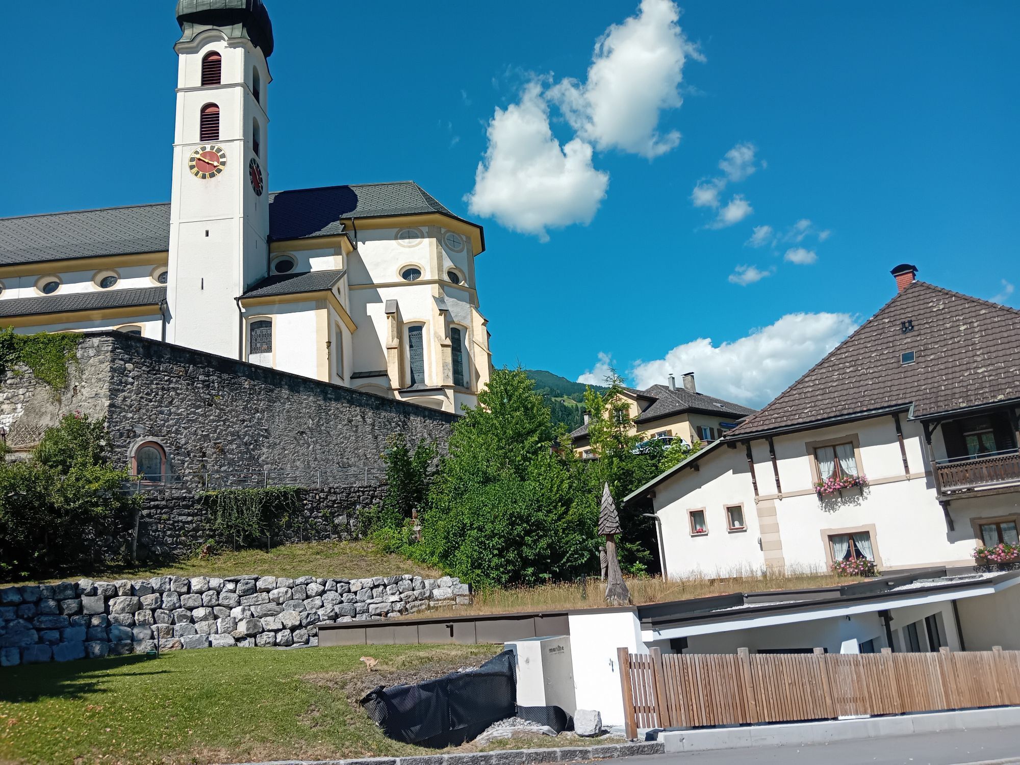
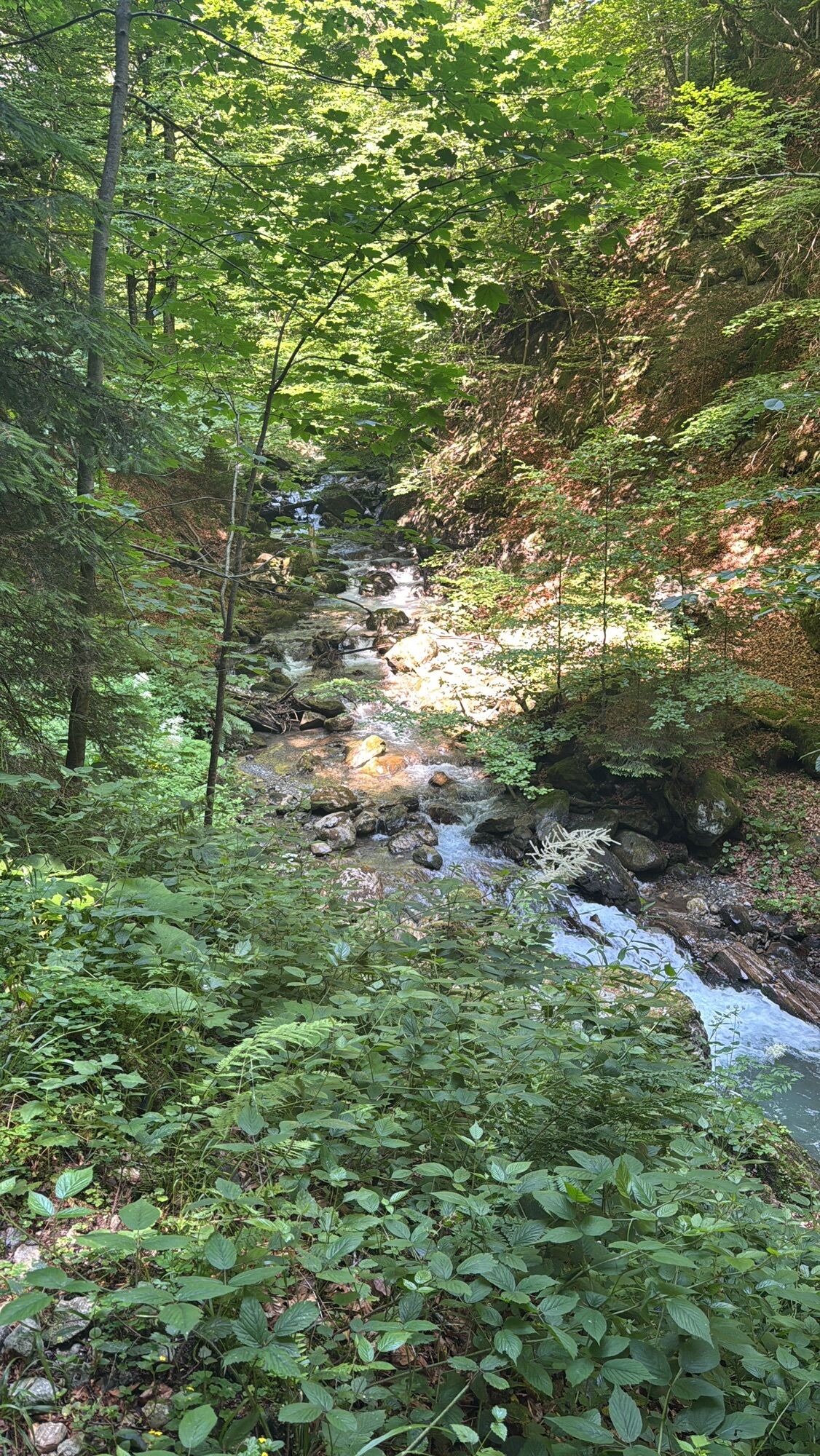
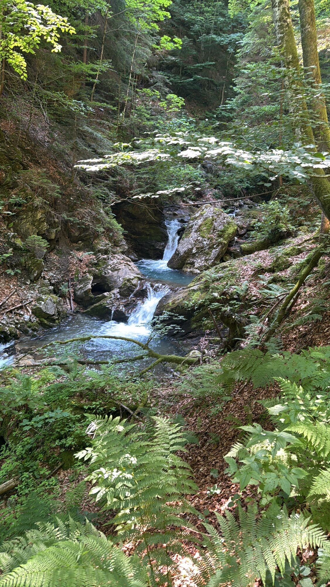
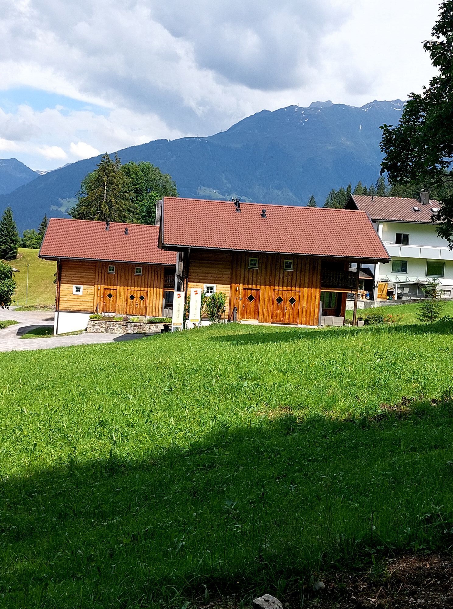
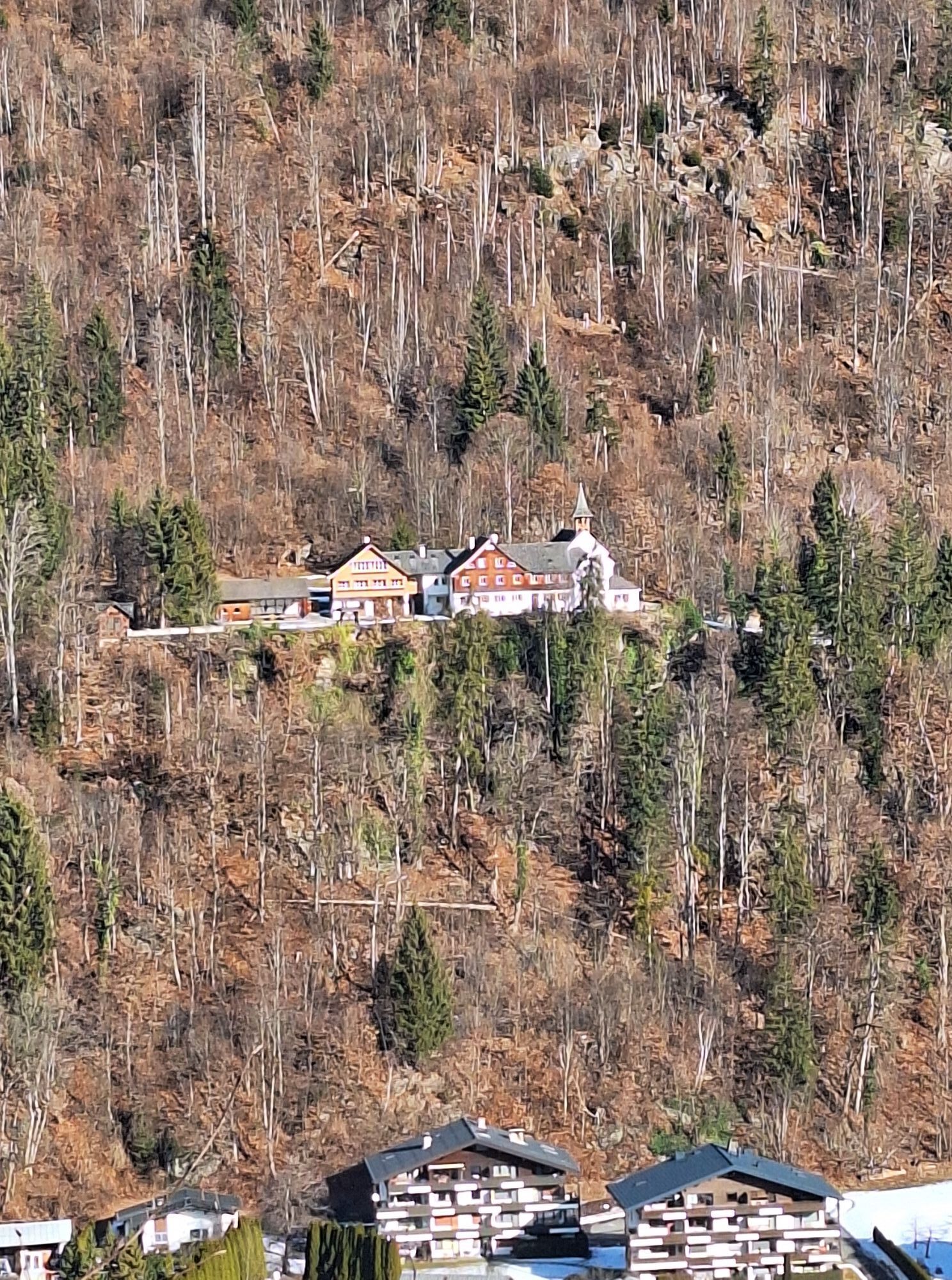

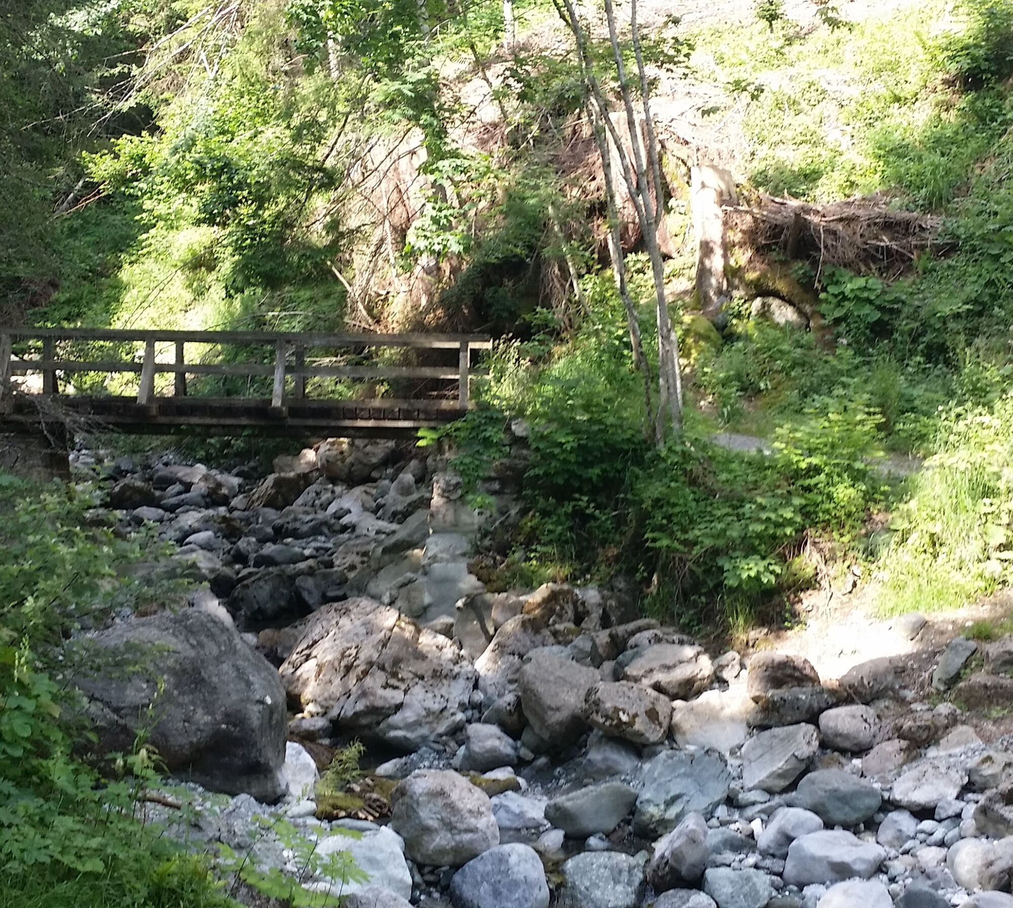
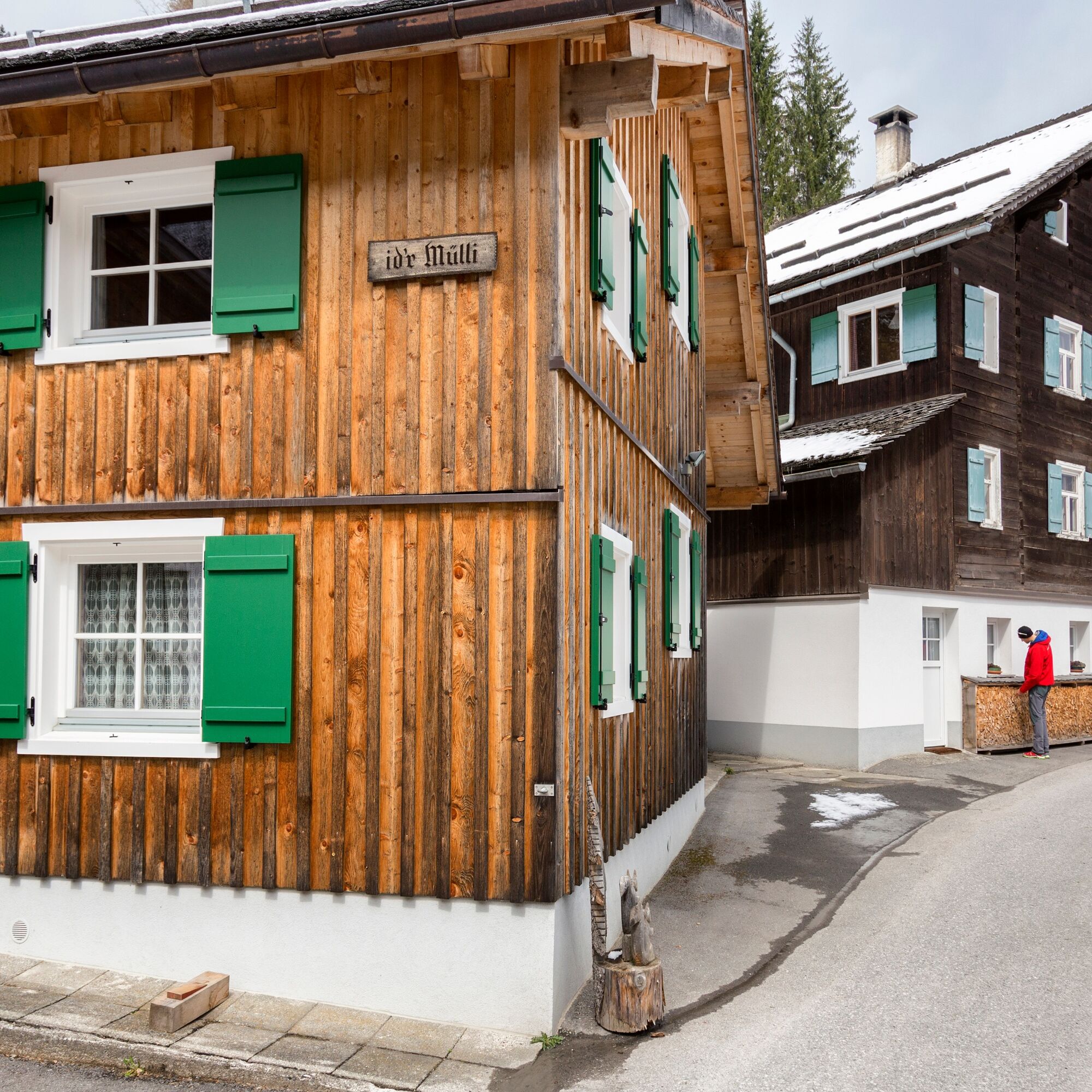
The route starts in the center of Vandans and leads slightly uphill along the Zwischenbachstraße. Then a footpath branches off to the left; follow this until you reach Rellstalstraße. Walk along the sidewalk, slightly uphill, then turn left again to continue on the hiking trail. You cross the Mustergielbach and reach the Innerbach area. At the old herb drying factory, walk through the meadow slightly uphill to a small rise. There stands the Bildstock Granna, where you can enjoy a great view. Then continue through the forest along the Aualatschbach uphill to Landschisott. Arriving in Landschisott, the last part goes on the paved road to the Golmerbahn. Along the forest edge, follow the Lünerseewerk to Hotel Montabella. There you walk a short section along the paved road again. On the Aquaweg, continue to the Rasafeibach, where you find the old sawmill of Mülli-Ferdi. After crossing the rushing Rasafeibach bridge, turn left onto the gorge trail. Along the brook, hike through the forest uphill to Lochmühle. On hot summer days, the gorge trail offers a pleasant and cool hike. Arriving at Lochmühle, walk a short stretch slightly uphill on the road. In the left curve, turn right onto the hiking trail and follow it. Via the Nira and Kirchensteinweg paths, you reach the town center of Tschagguns.
EMERGENCY CALL: 144
Euro emergency number: 112 (works with any mobile phone/network)
Take the A14 to the Bludenz/Montafon exit and continue on Montafonerstraße L188 towards Schruns. Turn right at the sign towards Vandans.
Just leave your car parked
The regional buses operate throughout Montafon. The main lines run every half hour from Schruns train station.
Bus stop at the start/finish of the route: Vandans center / S4 (Montafohnerbahn), line 621, line 622, line 641
Bus stop at the end of the route: Tschagguns municipal office / line 601
Timetable: www.vmobil.at
Arrival by train to Montafon
The Montafonerbahn runs hourly (partly every half hour) from Bludenz station. There are also direct connections from Lindau (D) and from Bregenz.
Timetable: www.oebb.at
You can park directly at the municipal office in Vandans.
Kamery internetowe z trasy
-
Hochjoch Bahn Bergstation
-
Grüneck Bergstation
-
Matschwitz Mittelstation
-
Innerberg
-
Sücka Schlepplift Talstation
-
Berghof Golm
-
Golm - Hüttenkopfbahn
-
Bartholomäberg
-
Tschagguns
-
Schruns
-
Bartholomäberg - Ferienhotel Fernblick
-
Schlepplift Innerbach
-
Bartholomäberg - Ferienhotel Fernblick
-
Bartholomäberg - Ferienhotel Fernblick
-
Bartholomäberg - Ferienhotel Fernblick
Popularne wycieczki w okolicy
-
5,0
Ski tour to the Lindauer Hut (1,744 m)
światłoWycieczka narciarska 14,0 km -
4,8
Smuggler’s path
średniTrasa tematyczna 8,60 km -
5,0
Bürs, Bürserschlucht Bürs, Vorarlberg
średniWędrówka 5,31 km -
4,9
Douglasshütte, Lünersee, Gafalljoch Brand bei Bludenz, Vorarlberg
światłoWędrówka 9,16 km -
4,4
Golm-Rundwanderweg im Rätikon
średniTrasa tematyczna 7,28 km -
4,3
Golmerbahn Bergstaion Grüneck - Golmer Höhenweg - Geißspitze - Lindauer Hütte - Latschau
średniWędrówka 11,5 km -
4,7
Over the historic mine and Fritzensee to Rellseck
średniWędrówka 7,25 km -
4,1
Mondspitze (Montspitze)
średniWędrówka 7,97 km -
4,4
Madrisella summit path
średniTrasa tematyczna 10,8 km -
4,6
Kristberg - Wasserstubental - Silbertal
światłoWędrówka 13,8 km
Wędrówki i tropienie


Nie przegap ofert i inspiracji na następne wakacje
Twój adres e-mail została dodana do listy mailingowej.