






Panorama Trail 17 km (Montafon Arlberg Marathon Silbertal)
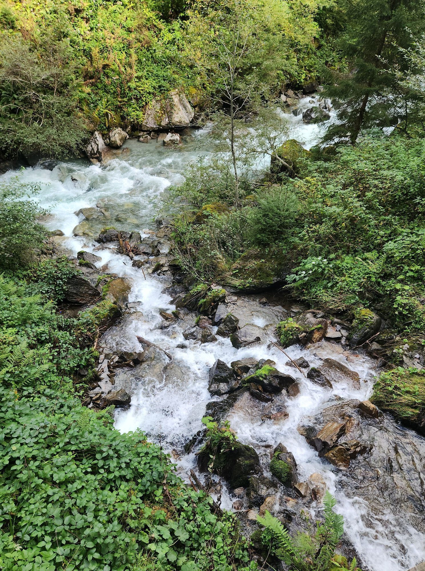
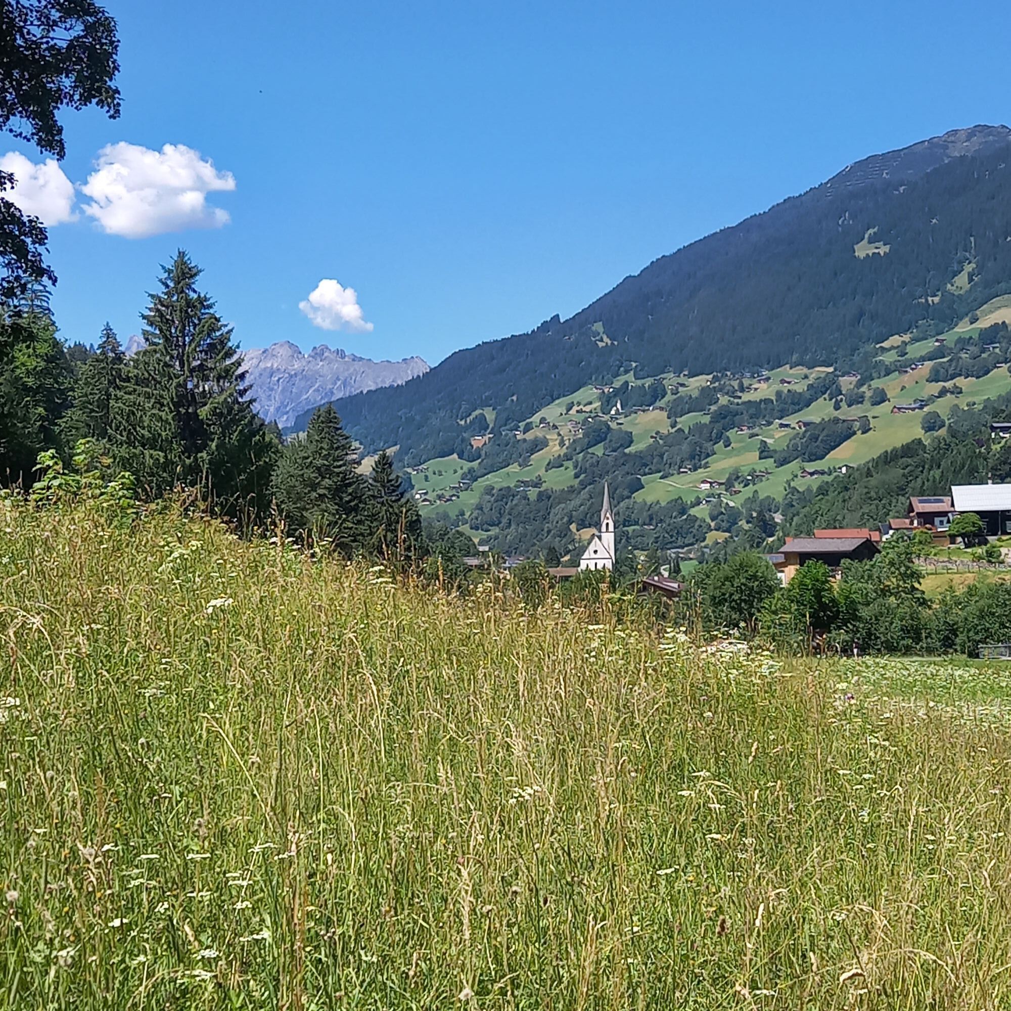
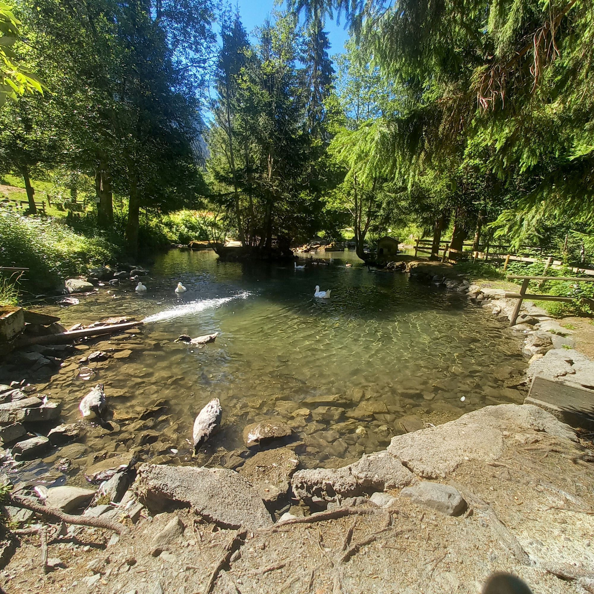
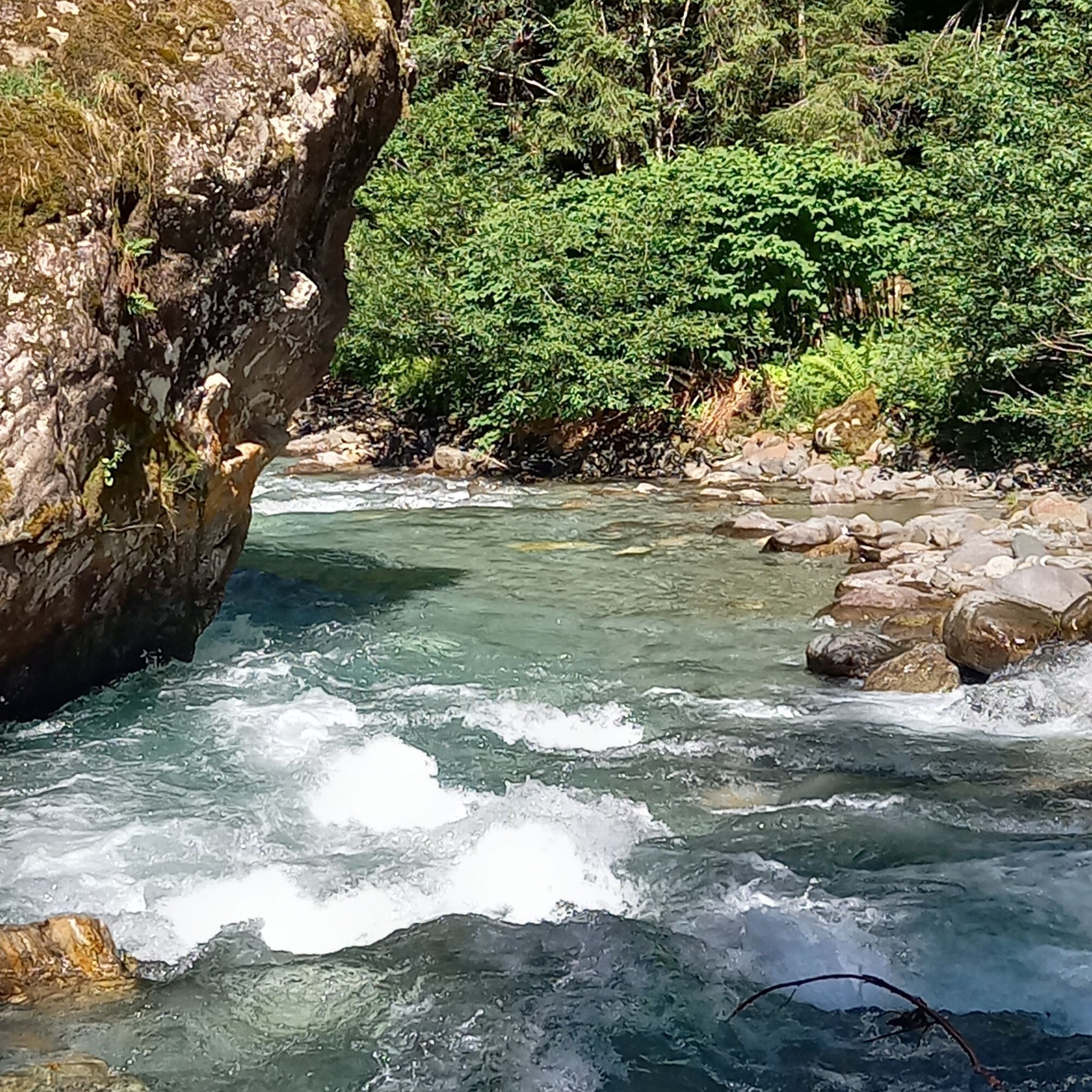
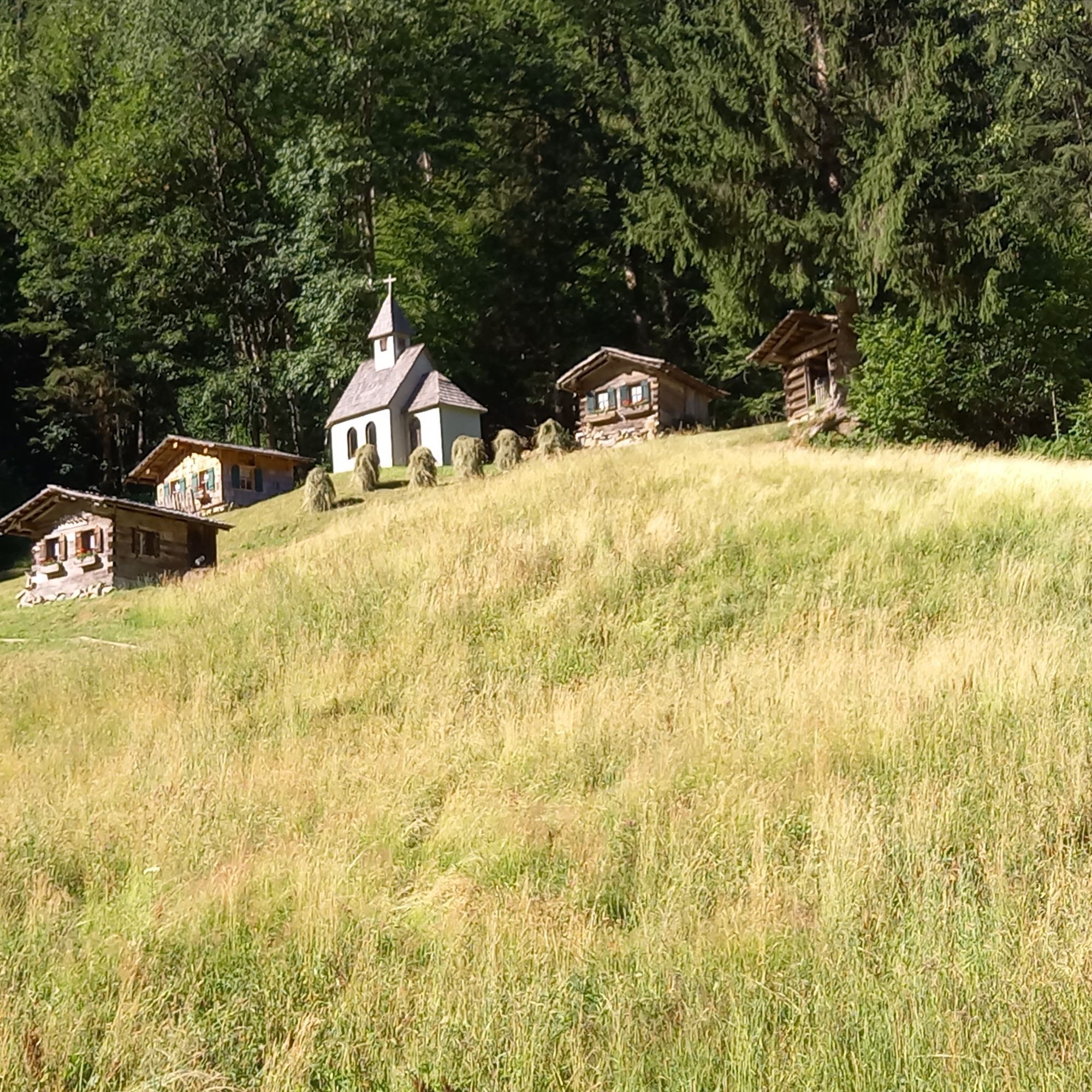
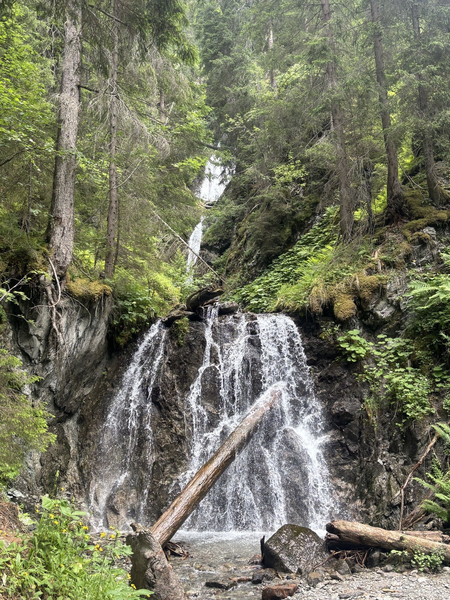
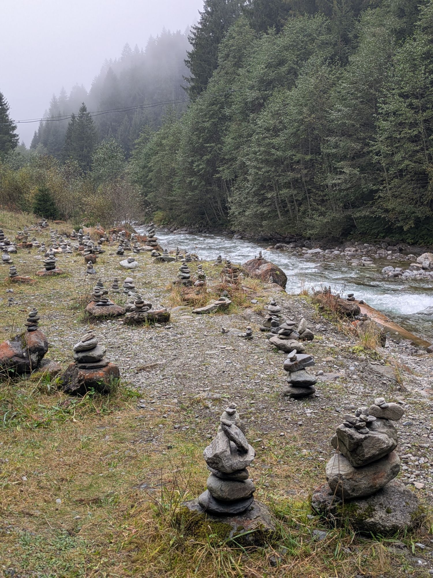
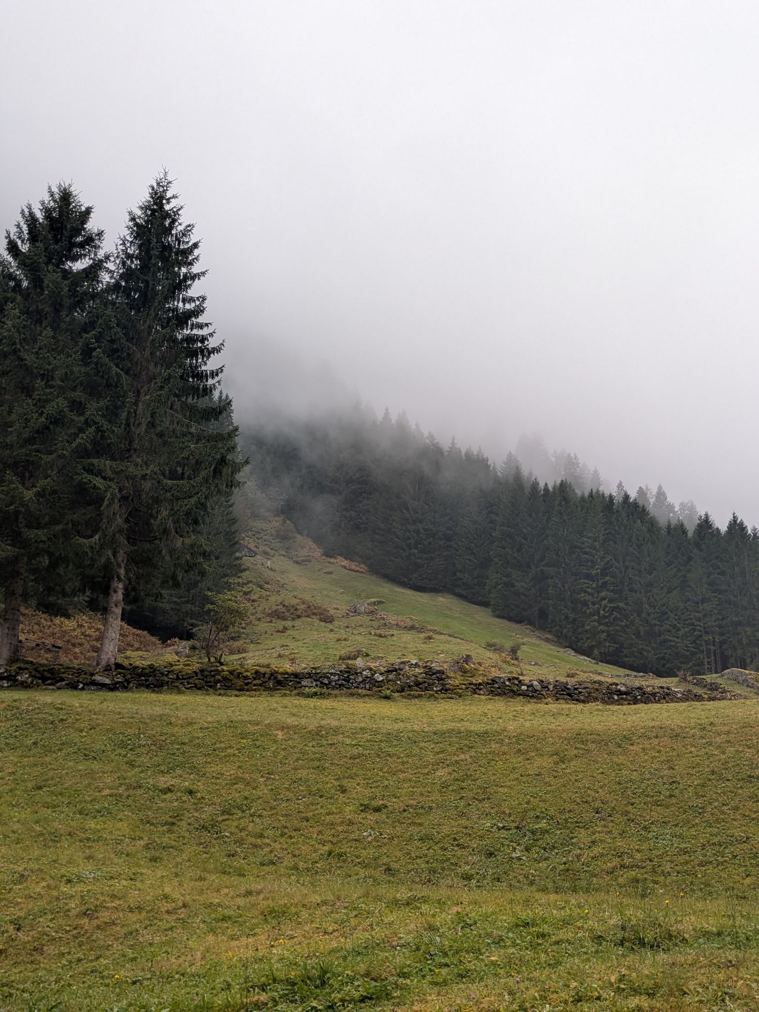
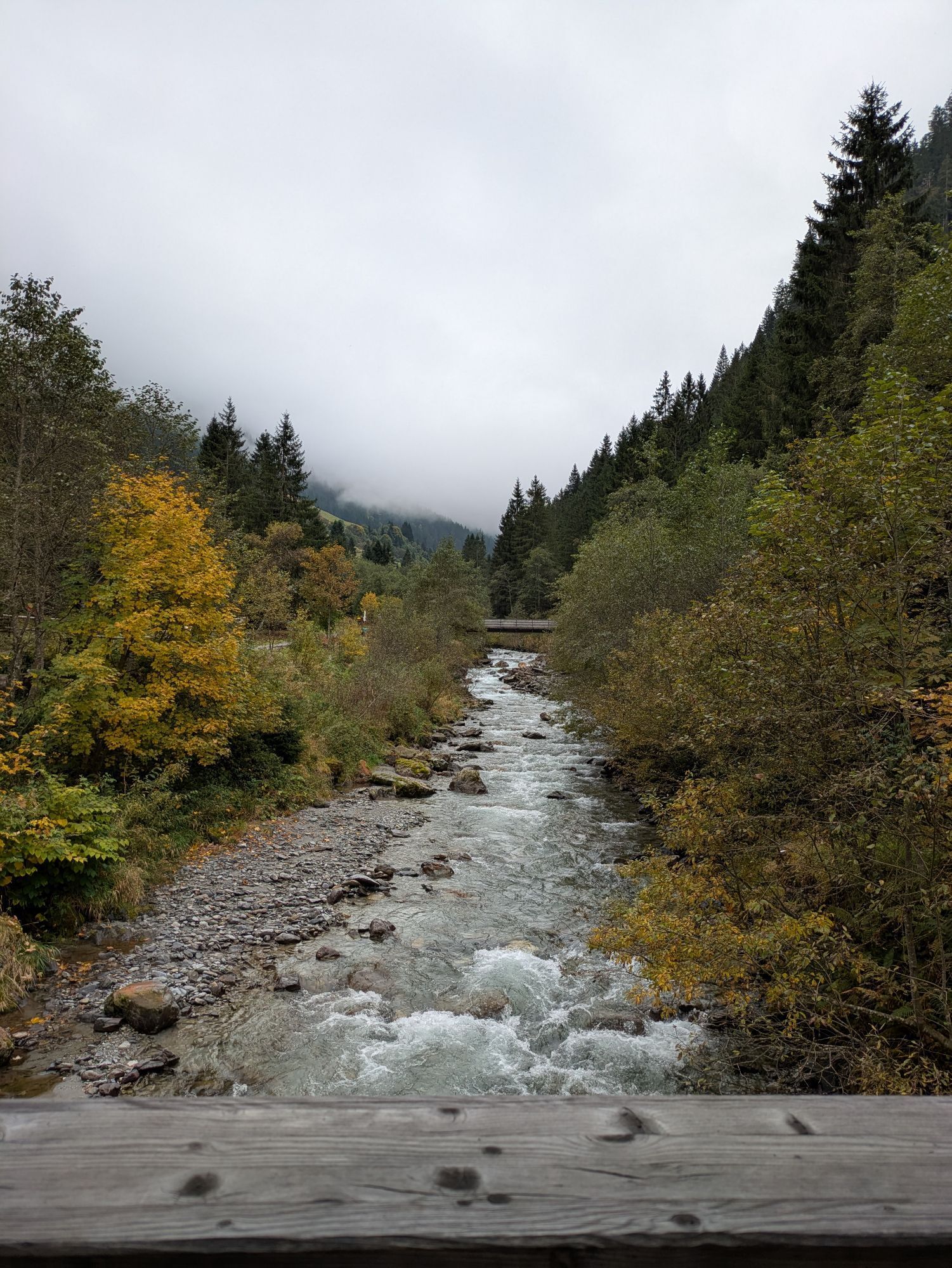
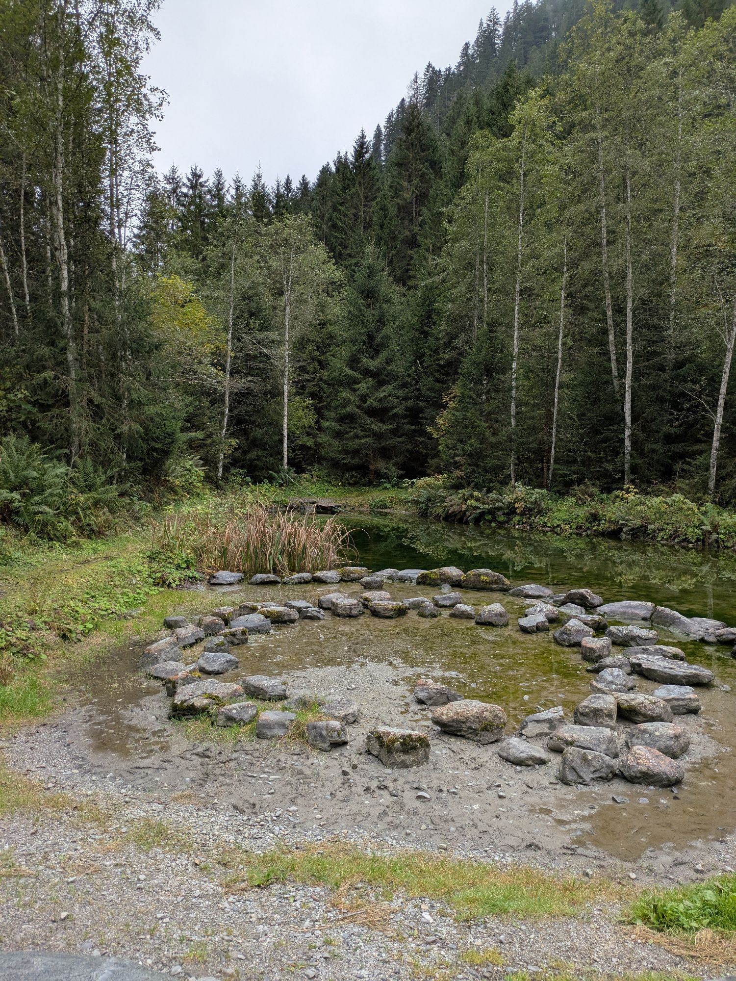
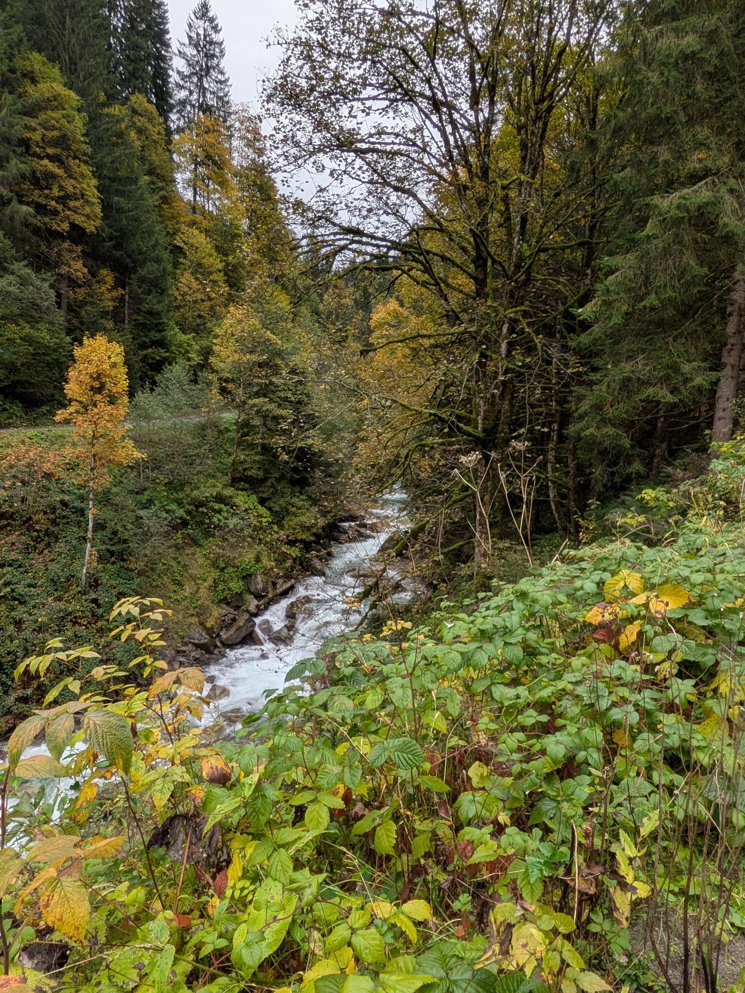
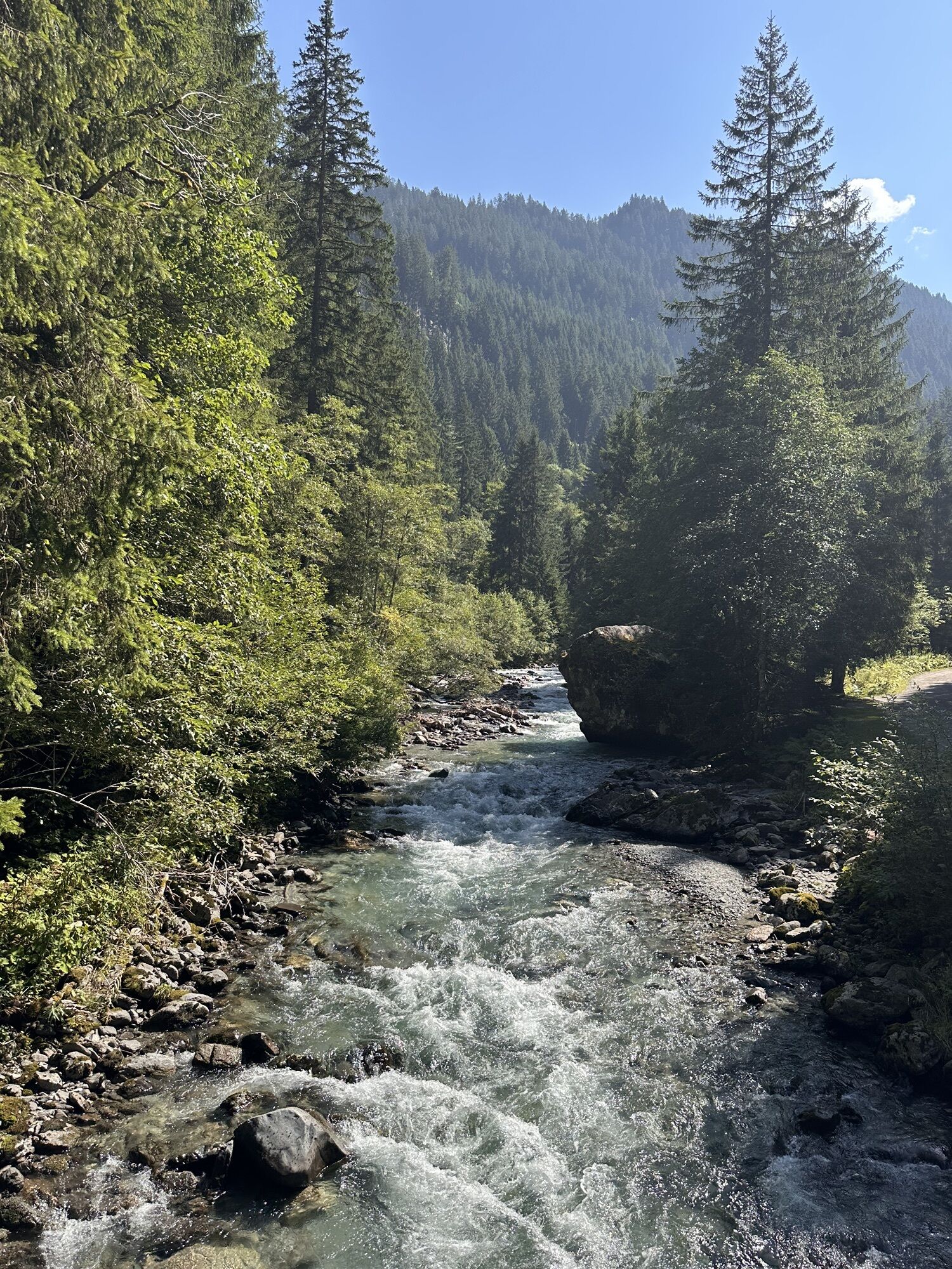
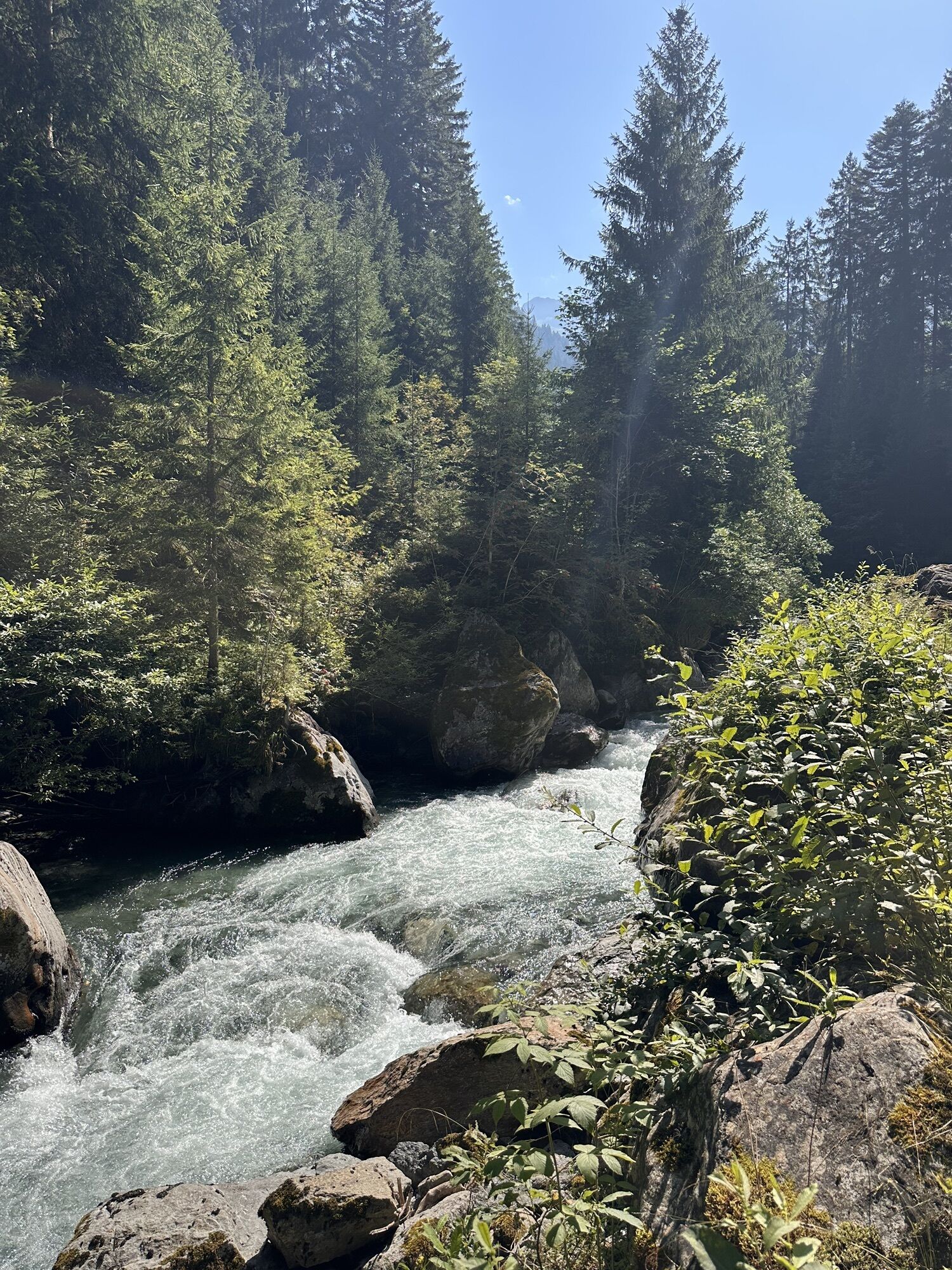
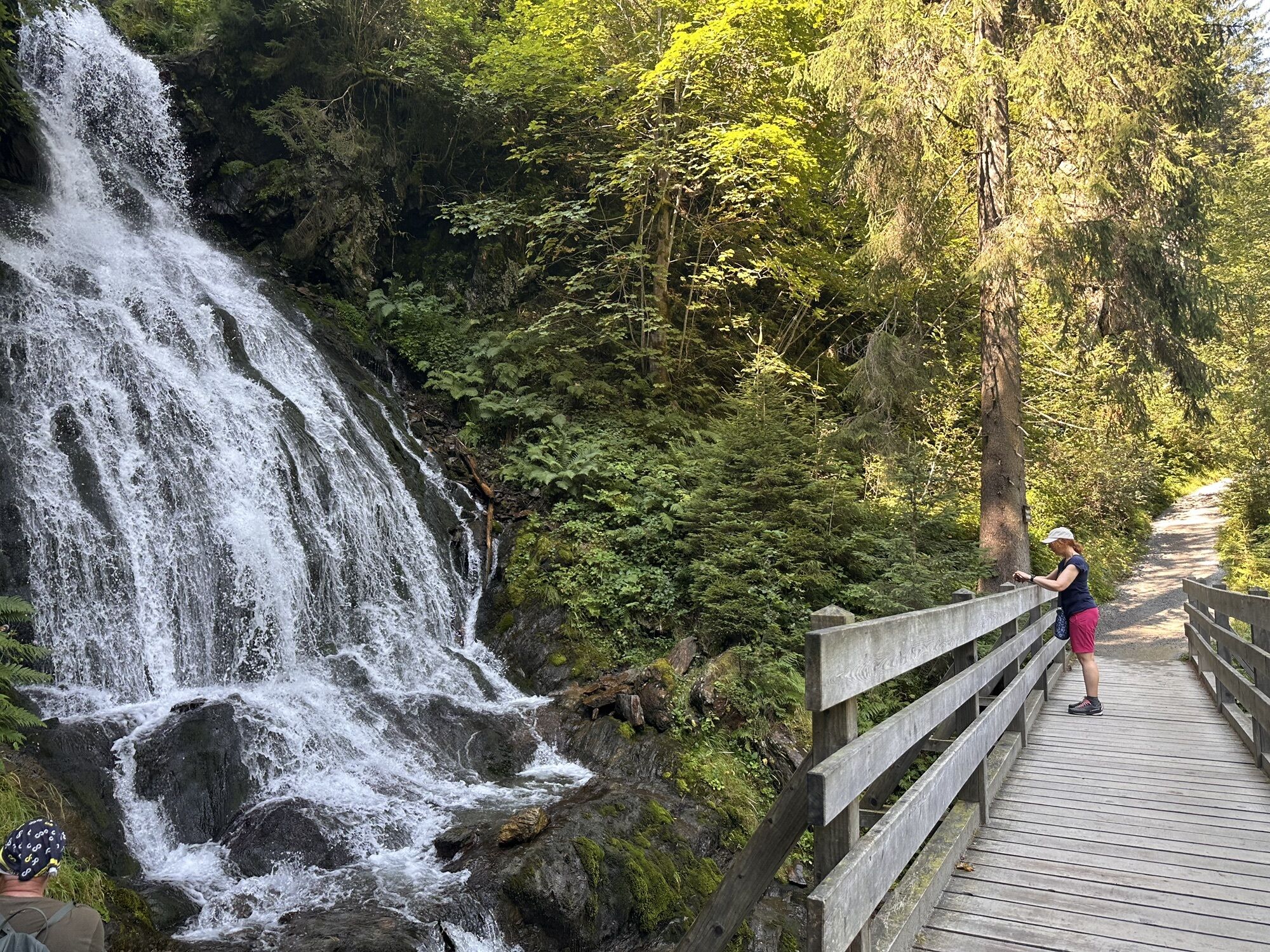
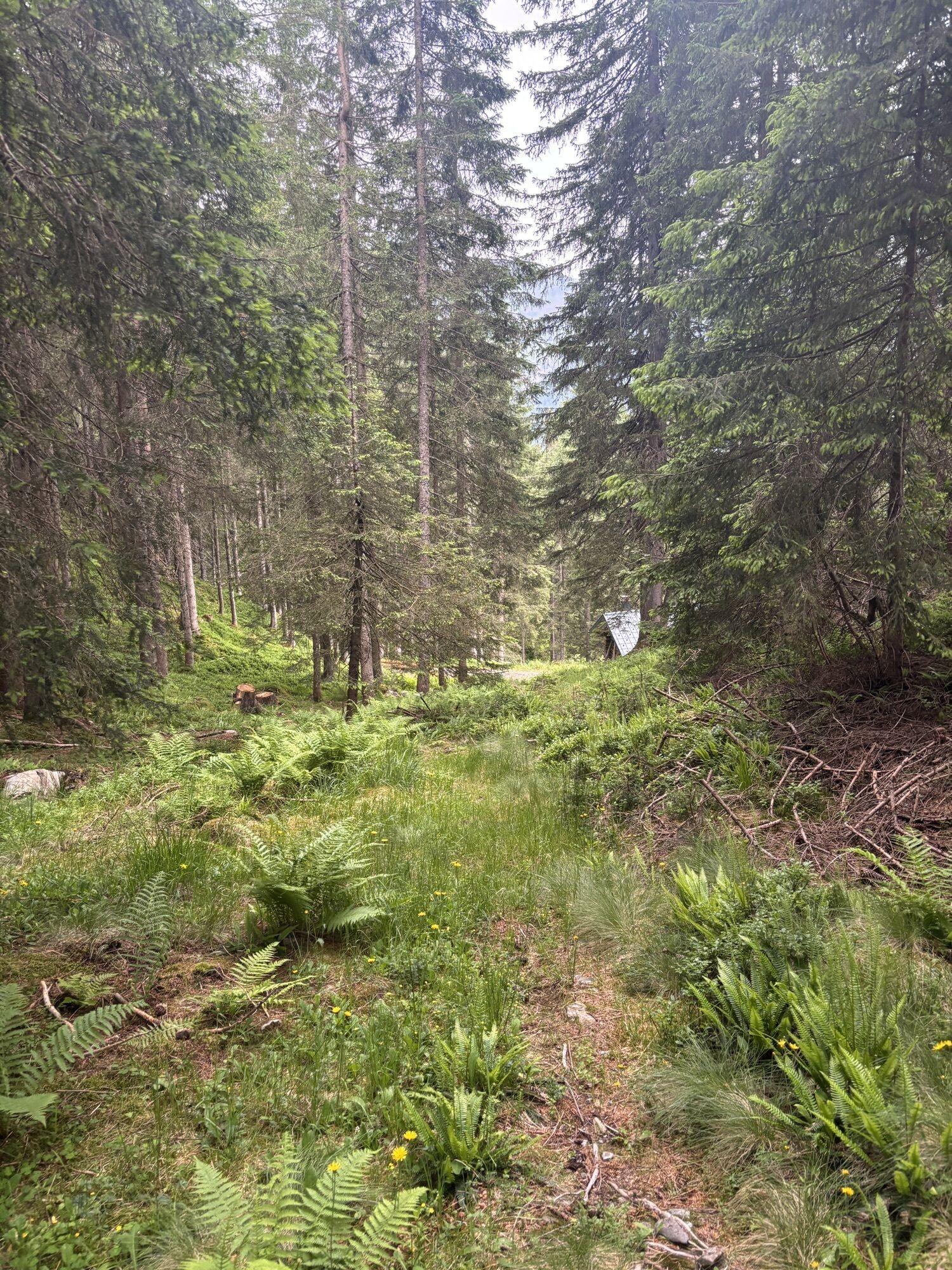
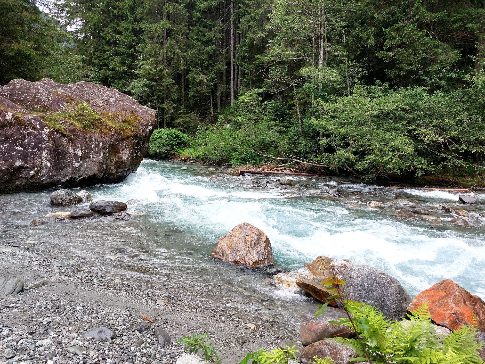
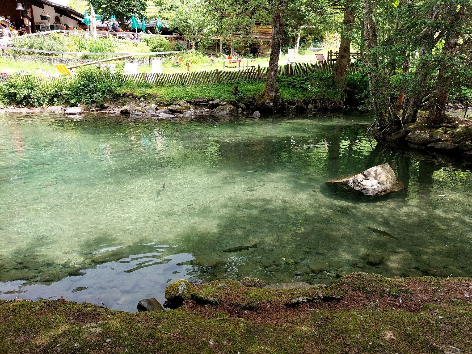
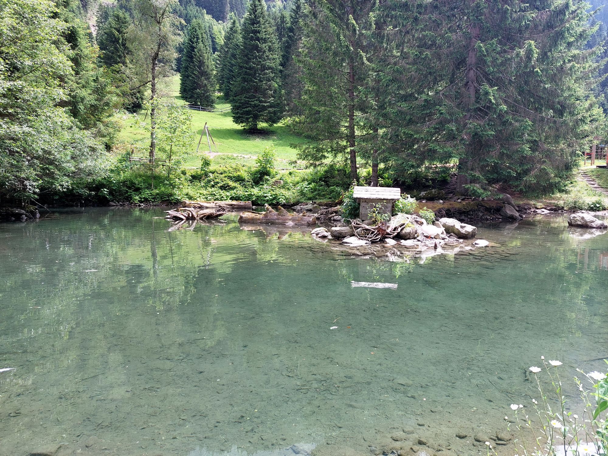
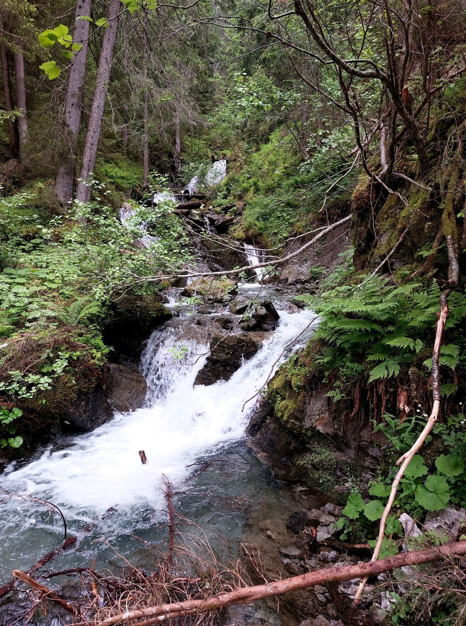
As part of the Montafon Arlberg Marathon, the Panorama Trail also offers a great experience for beginners and recreational runners. After the starting shot, the route ascends to the Fellimännle mountain...
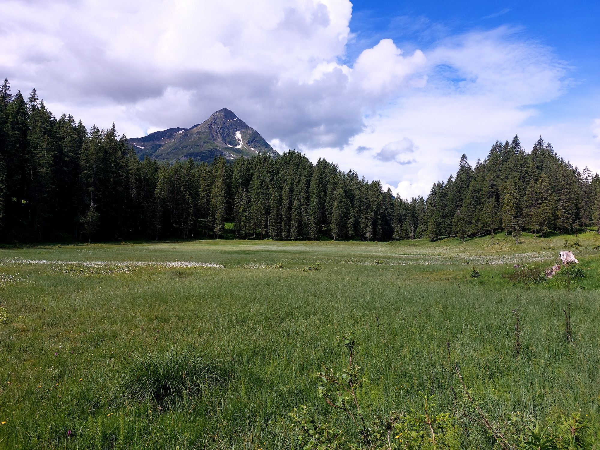
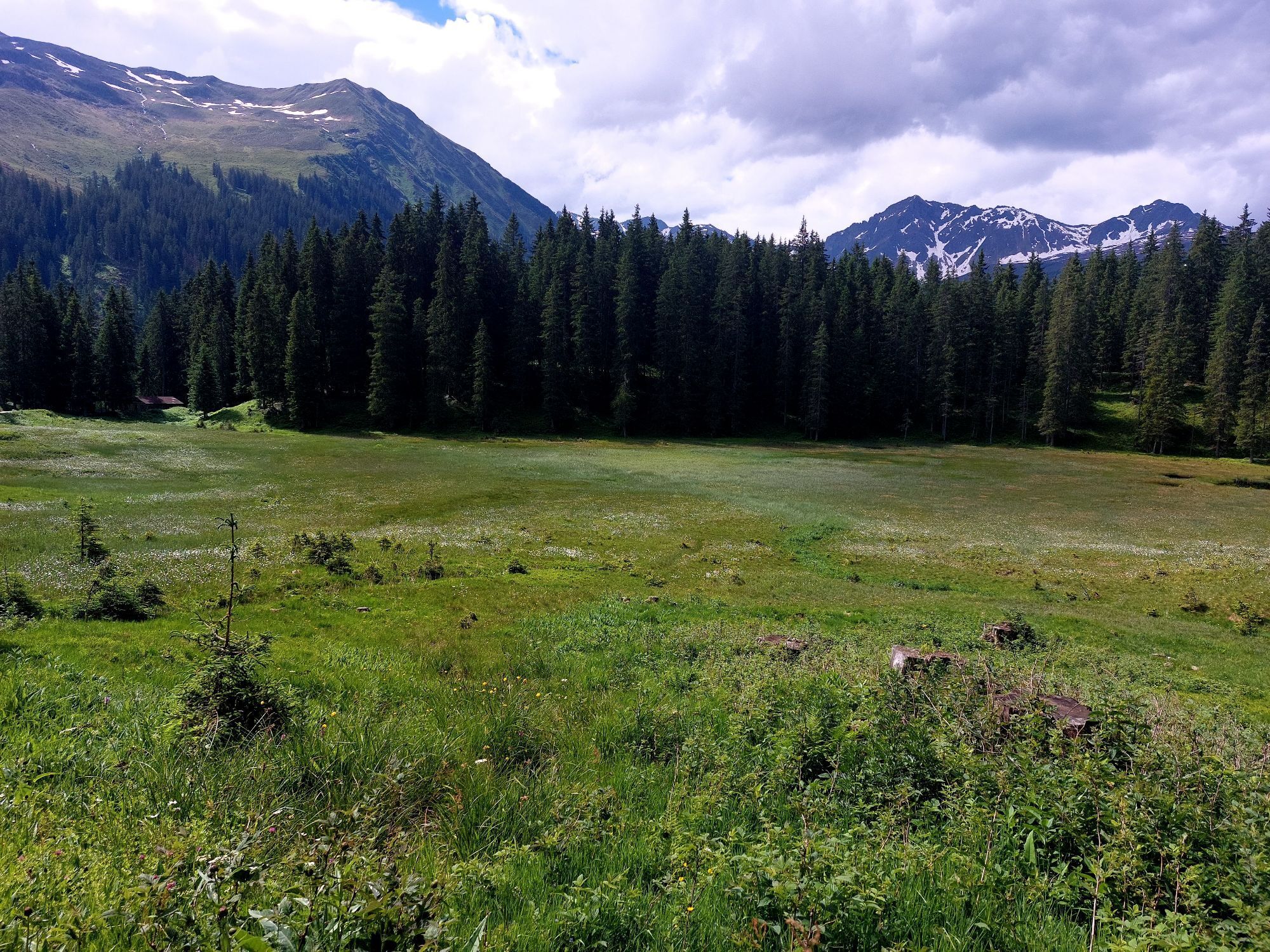
As part of the Montafon Arlberg Marathon, the Panorama Trail also offers a great experience for beginners and recreational runners. After the starting shot, the route ascends to the Fellimännle mountain inn and continues towards Wasserstubenalpe. At Wildried, one of the highest raised bogs in Europe, beautiful views open up into the valley and towards the Rätikon. Before you can celebrate at the finish, the descent into the valley demands your highest concentration. Of course, this route can be done all summer long.
Information about the event at http://www.montafon-arlberg-marathon.com


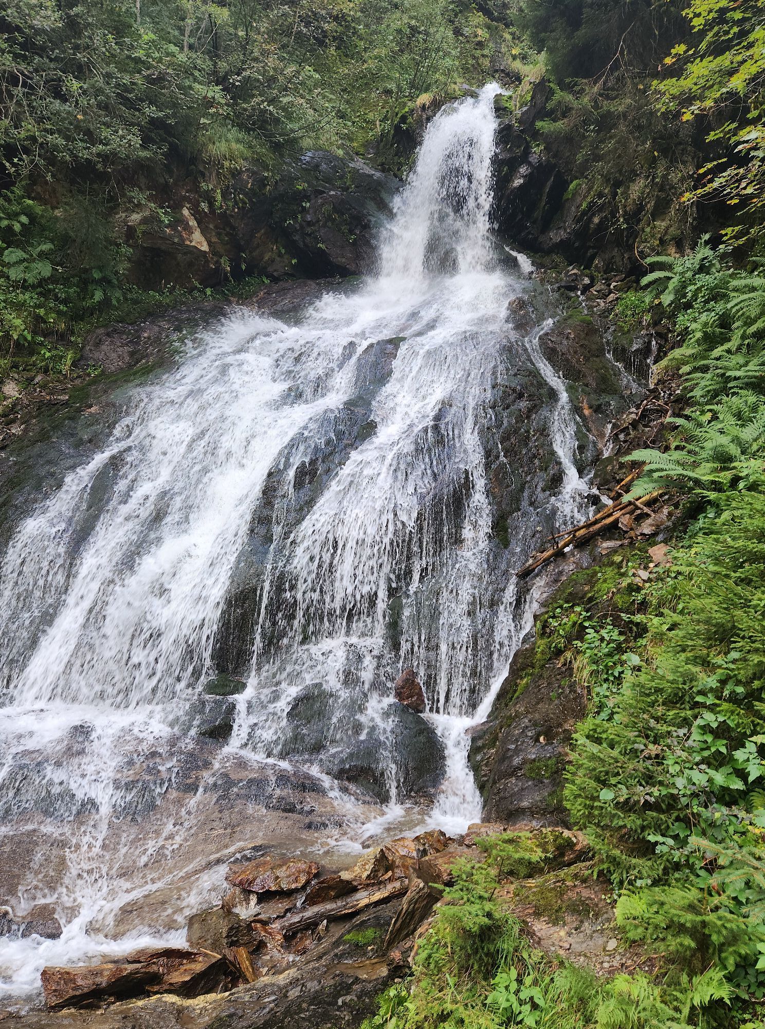
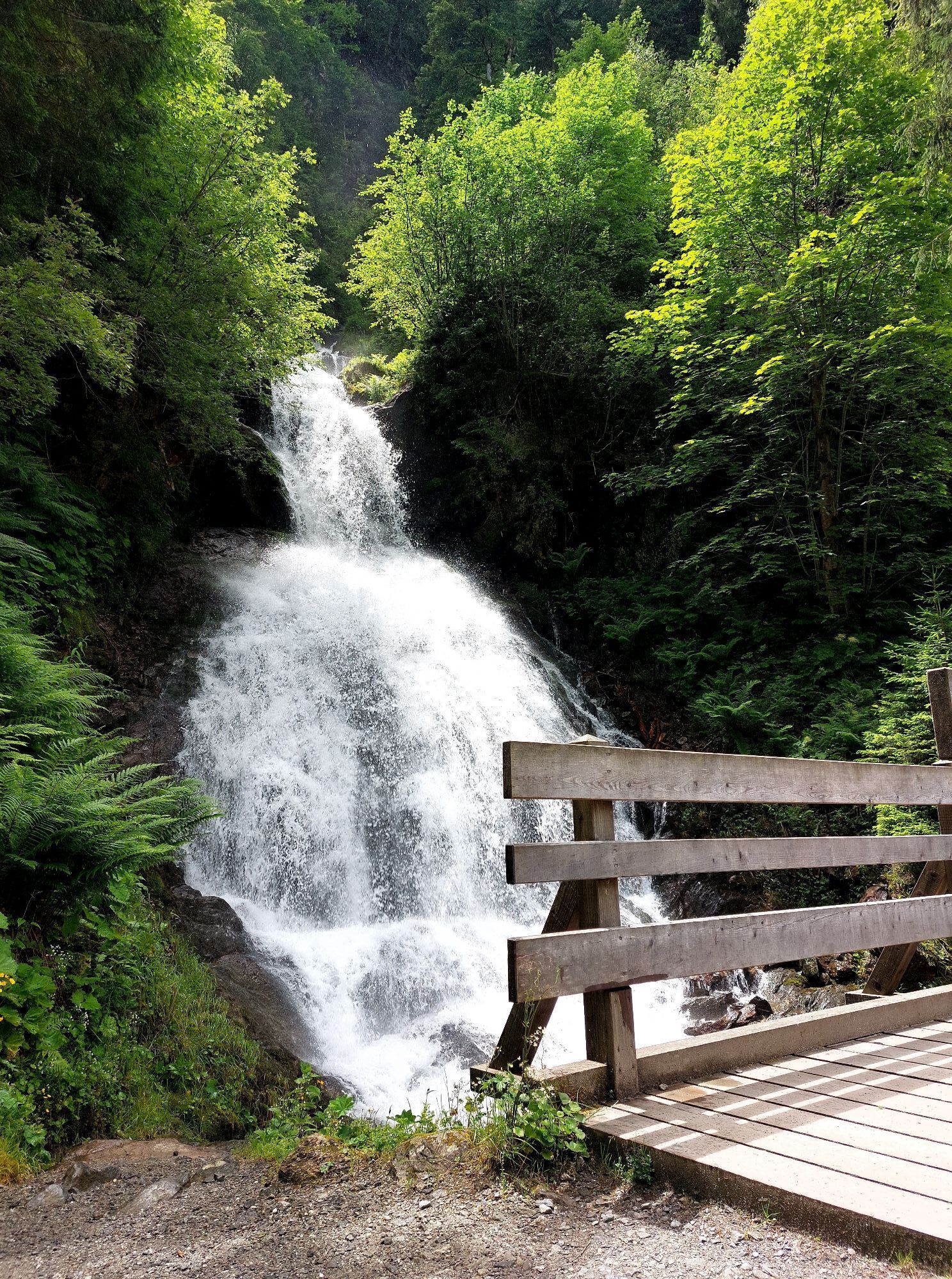
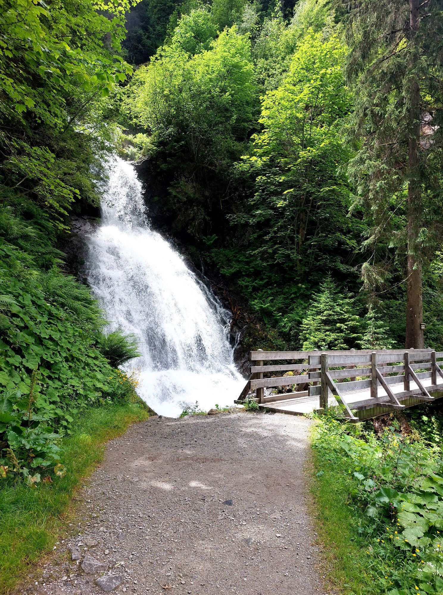
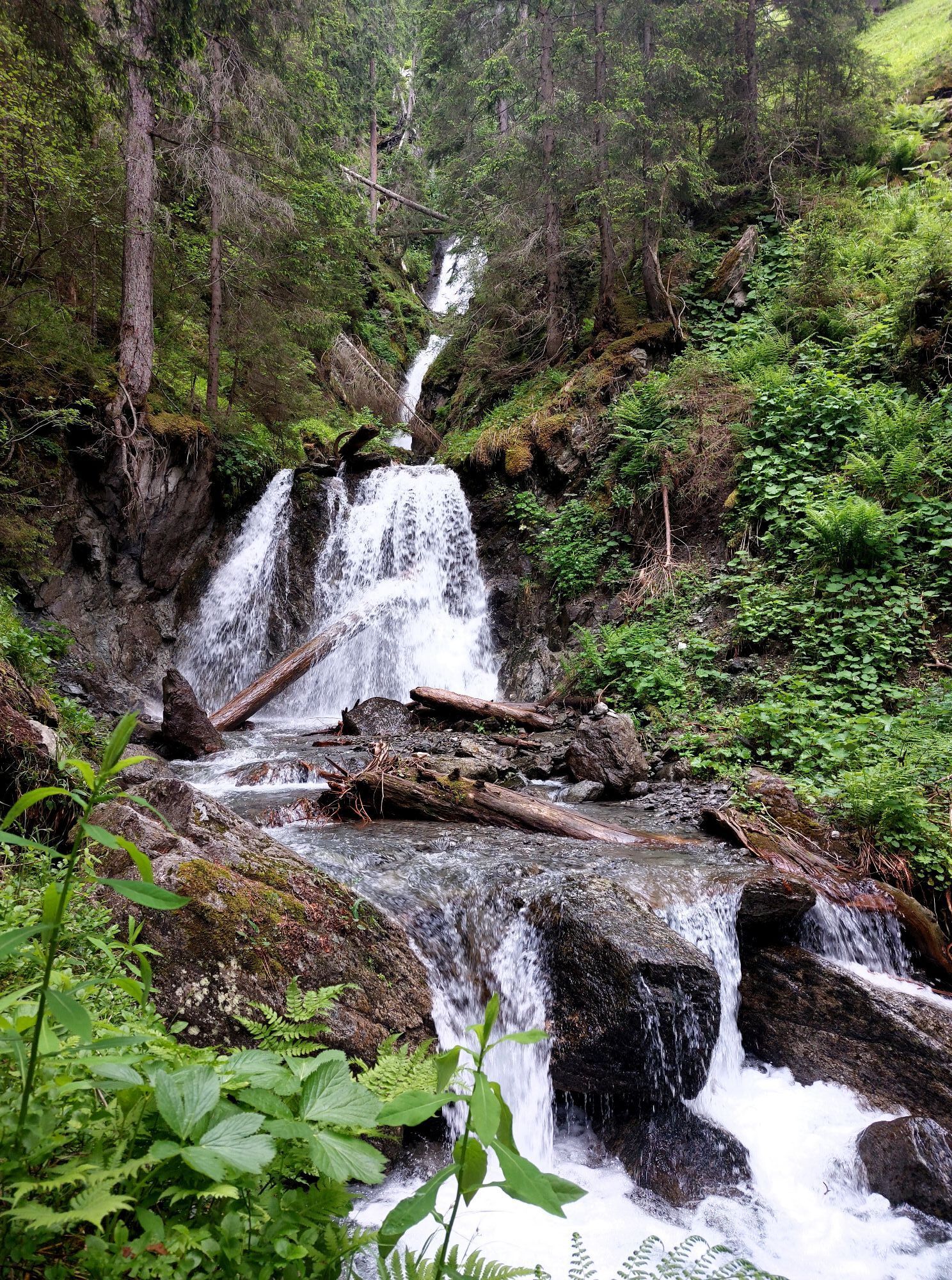
The circular route starts and ends at the Silbertal Sports Field at 889m above sea level. Passing the open-air stage of the Montafon Legend Plays, it continues to the Fellimännle mountain hut. From there, you gain altitude steadily towards Wasserstubenalpe and Wildried before descending via Ober- and Unterbuchen to the Teufelsbach Waterfall. A short loop through the village center of Silbertal leads back to the starting point.
EMERGENCY CALL: 144
European emergency call 112 (works with any mobile/ network)
On race day: Along the route, there are three refreshment stations with everything your heart desires.

Kamery internetowe z trasy
-
Bergstation Sonnenkopf
-
Hochjoch Bahn Bergstation
-
Montafoner Kristbergbahn Bergstation
-
Panoramagasthof Kristberg
-
Panoramagasthof Kristberg
-
Kristberglift mit St. Agatha Kirche
-
Kinderland Skischule Silbertal
-
Bergstation Hochalpila Bahn
-
Silbertal Dorf
-
Innerberg
-
Silvretta-Montafon - Panorama Bahn
-
Bergstation Sonnenkopf
-
Bergstation Sonnenkopf
-
Bergstation Sonnenkopf
-
Schruns
-
Bartholomäberg - Ferienhotel Fernblick
-
Wormserhütte
-
Wormserhütte
-
Kapellbahn
-
Bartholomäberg - Ferienhotel Fernblick
-
Bartholomäberg - Ferienhotel Fernblick
-
Bartholomäberg - Ferienhotel Fernblick
Uzyskaj wgląd
Zawsze na żywo z ponad 9 500 kamer internetowych. bergfex Jako użytkownik Pro, możesz teraz zobaczyć odpowiednie kamery internetowe dla wielu wycieczek w aplikacji wycieczki od. Pozwala to na bezpośredni podgląd aktualnych warunków.


Popularne wycieczki w okolicy
-
5,0
Ski tour to the Lindauer Hut (1,744 m)
światłoWycieczka narciarska 14,0 km -
4,4
Golm-Rundwanderweg im Rätikon
średniTrasa tematyczna 7,28 km -
4,6
Over the historic mine and Fritzensee to Rellseck
średniWędrówka 7,25 km -
4,3
Golmerbahn Bergstaion Grüneck - Golmer Höhenweg - Geißspitze - Lindauer Hütte - Latschau
średniWędrówka 11,5 km -
4,7
Kristberg - Wasserstubental - Silbertal
światłoWędrówka 13,8 km -
4,5
Madrisella summit path
średniTrasa tematyczna 10,8 km -
4,8
Heilbronner lodge
średniWędrówka 13,0 km -
4,9
Alpgues Runde
średniWędrówka 9,21 km -
3,0
Bergstation Grüneck Golmerbahn - Alpe Latschätz - Lindauer Hütte - Latschau
światłoWędrówka 11,1 km -
3,3
Dalaas - Freiburgerhütte
średniWędrówka 8,40 km
Wędrówki i tropienie


Nie przegap ofert i inspiracji na następne wakacje
Twój adres e-mail została dodana do listy mailingowej.





