







Alpgues circular route
Poziom trudności: T2
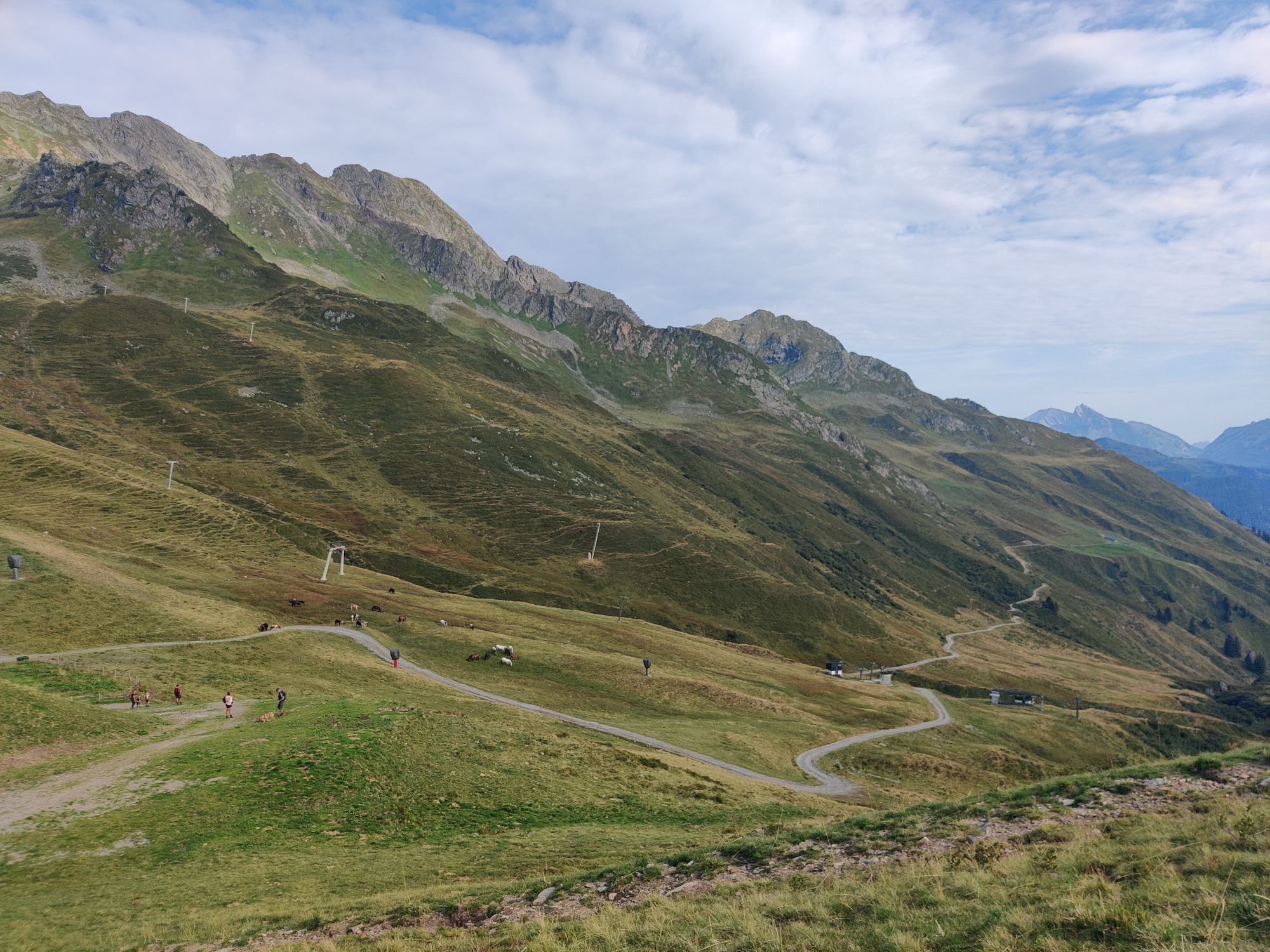
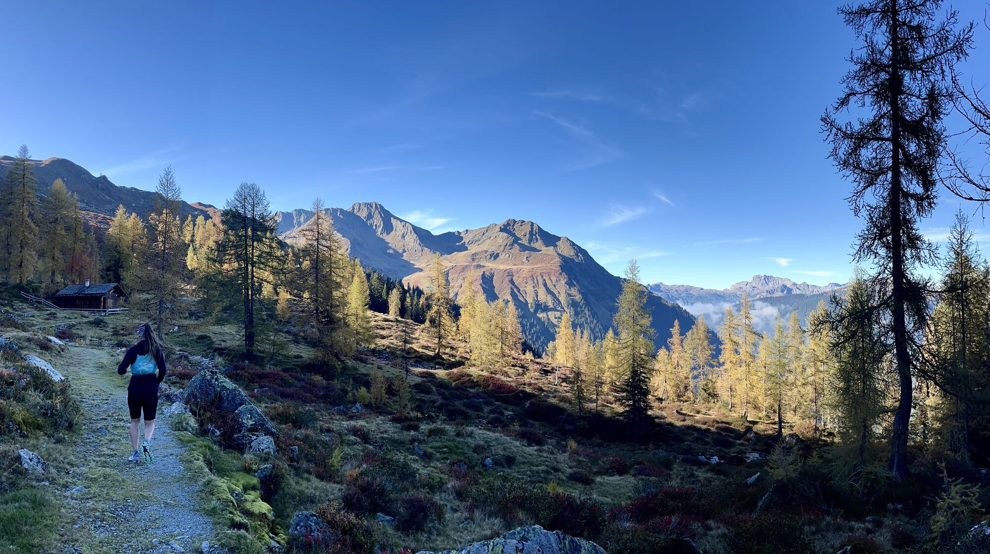
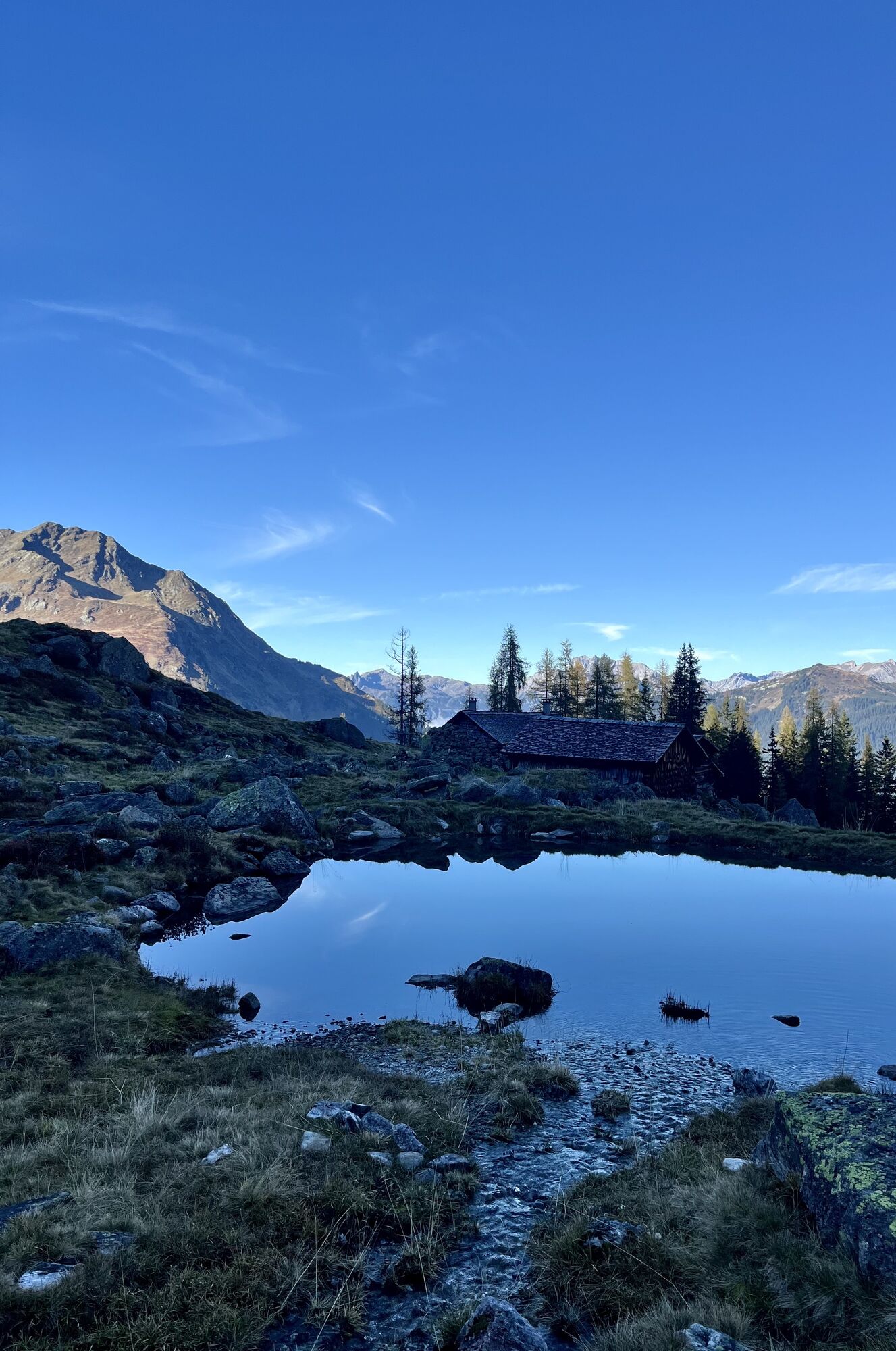
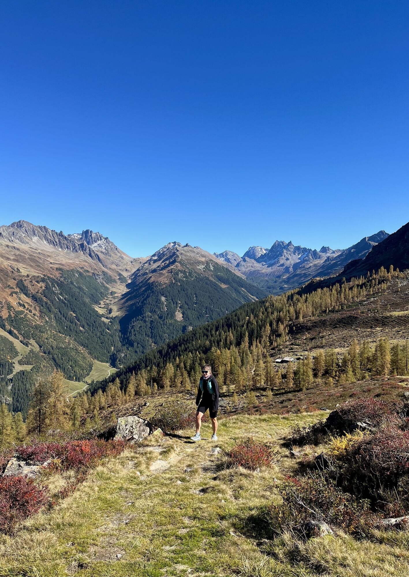
This rather demanding circular hike with scenic views offers you a good approach to the Verwall European protected area. Beautiful mountain lakes, the Alpgues alp, smaller ponds, a lovely larch forest,...
This rather demanding circular hike with scenic views offers you a good approach to the Verwall European protected area. Beautiful mountain lakes, the Alpgues alp, smaller ponds, a lovely larch forest, as well as wide views into various valleys make this hike a very varied experience. The Natura 2000 area "Verwall" is the largest protected area in Vorarlberg, covering about 120 km². The protected objects in the area are particularly typical and rare or endangered species, whose preservation is ensured by designating the area as a European protected area under the Birds Directive. Some of these protected species include the Alpine snowcock, the capercaillie, hazel grouse, black and three-toed woodpeckers, or various plants found in the protected high moors, such as the large cranberry.
You can find many other special features of this hike at https://naturvielfalt.at/schutzgebiet/verwall/
Note: The Alpgues alp is not managed - a stop for refreshments is only possible at the Grasjoch hut.

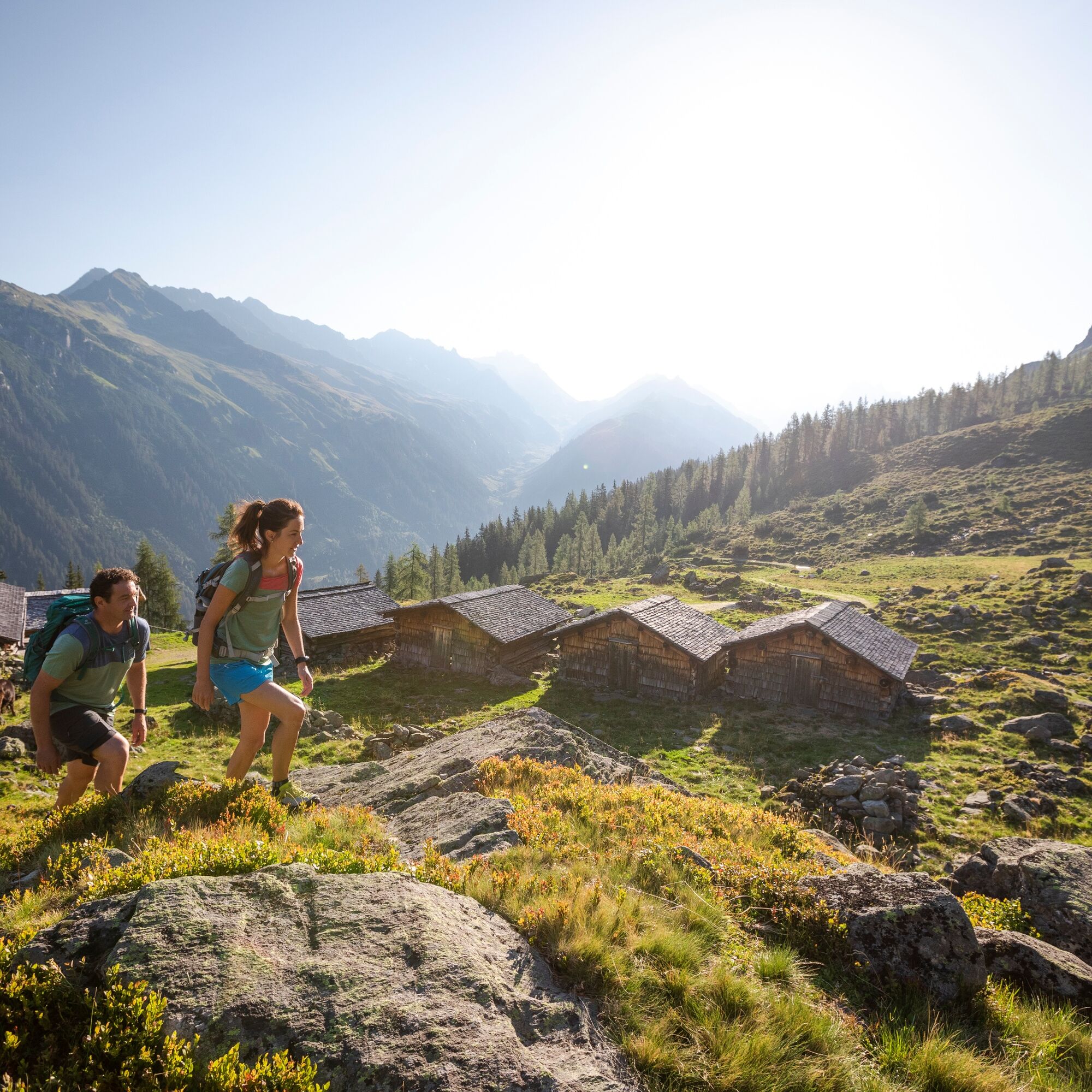
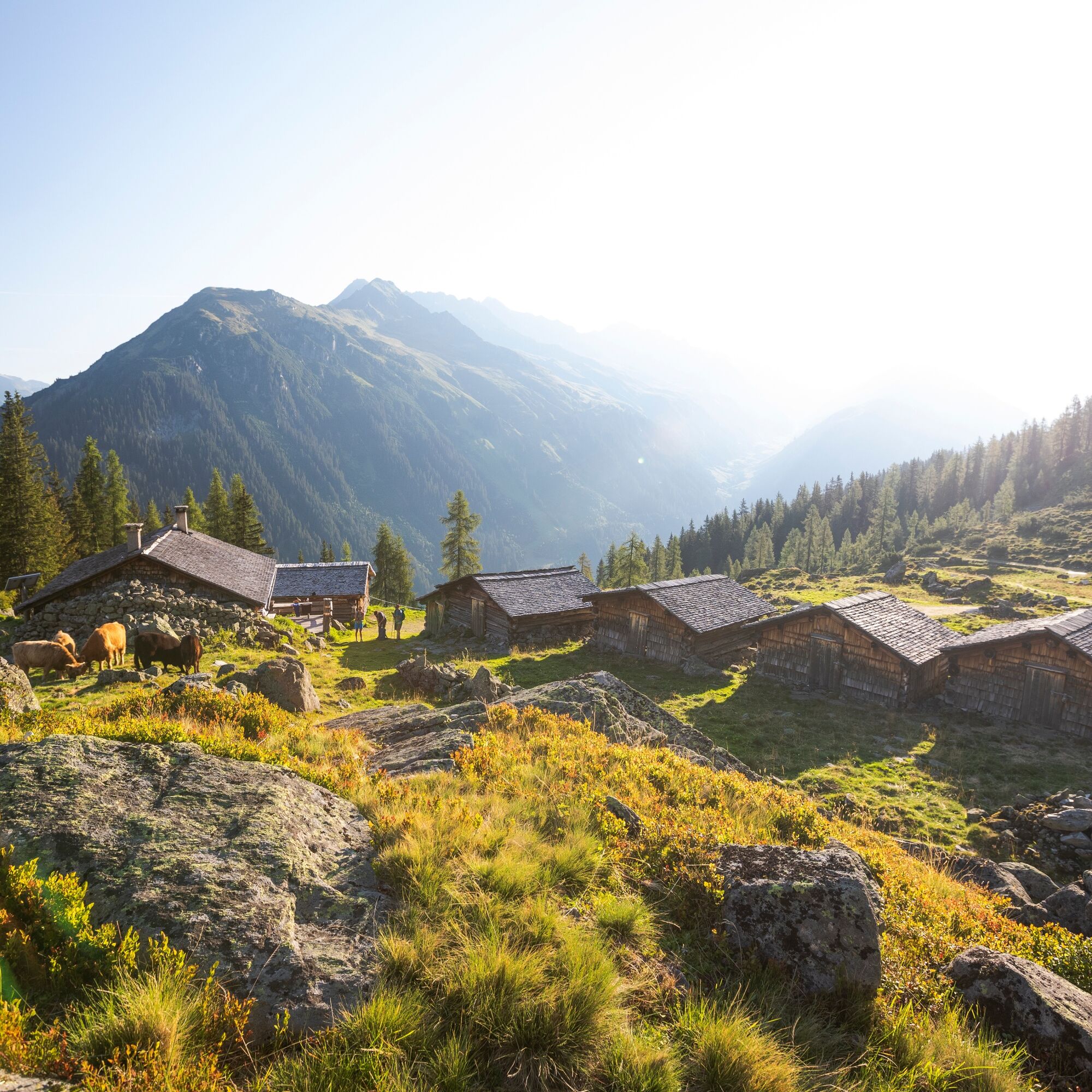
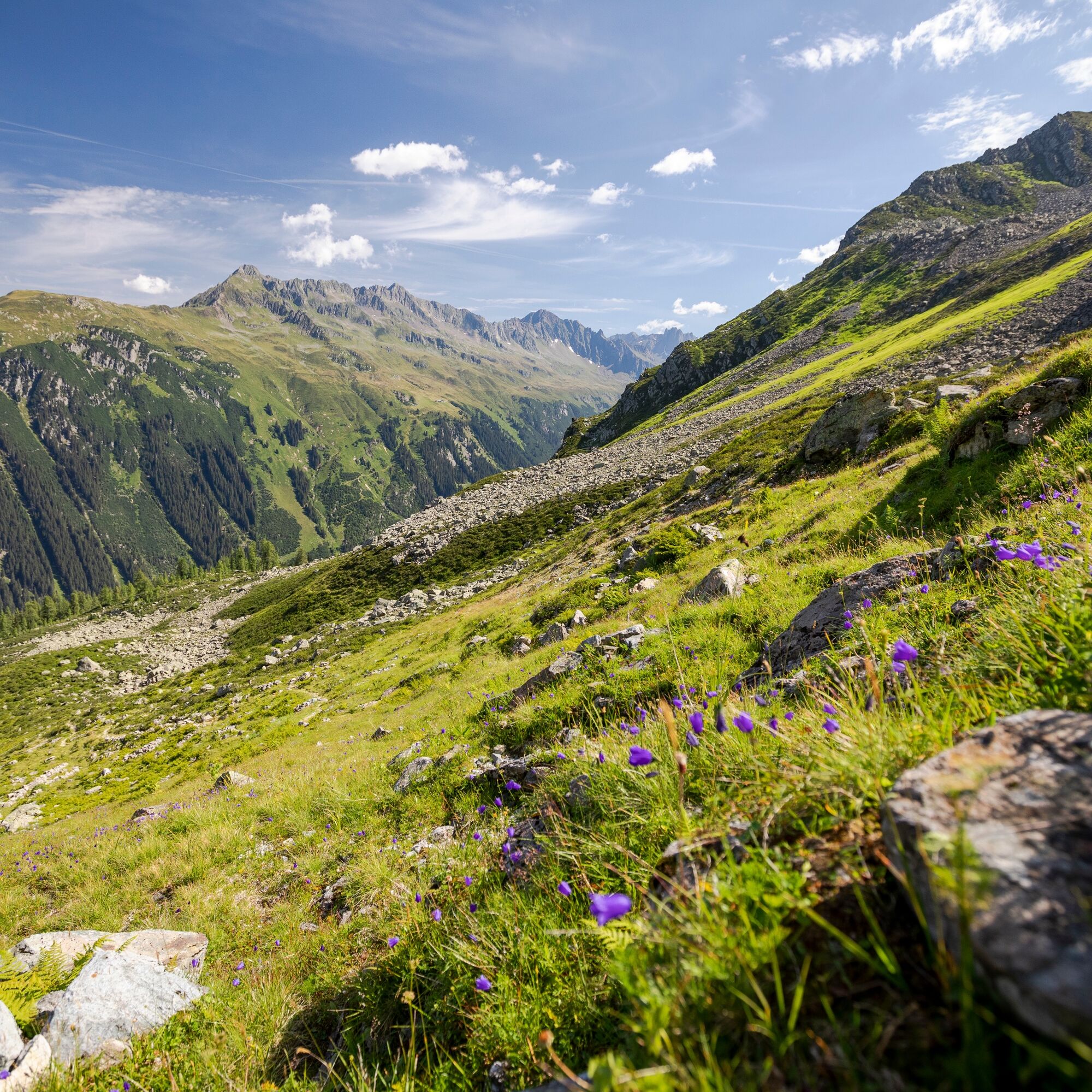
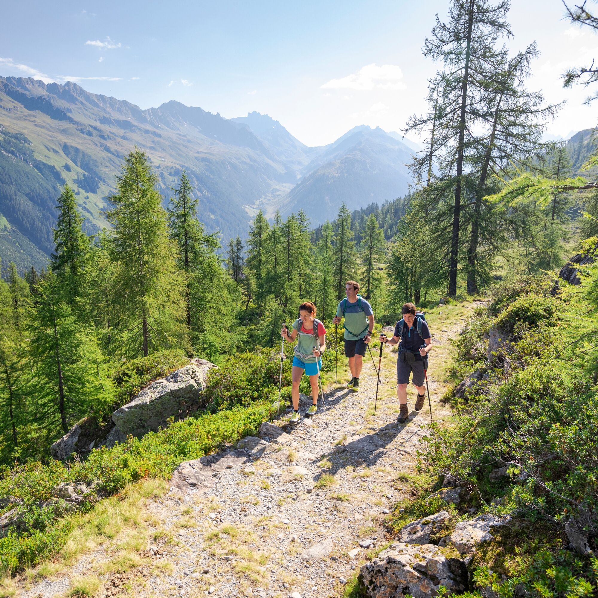
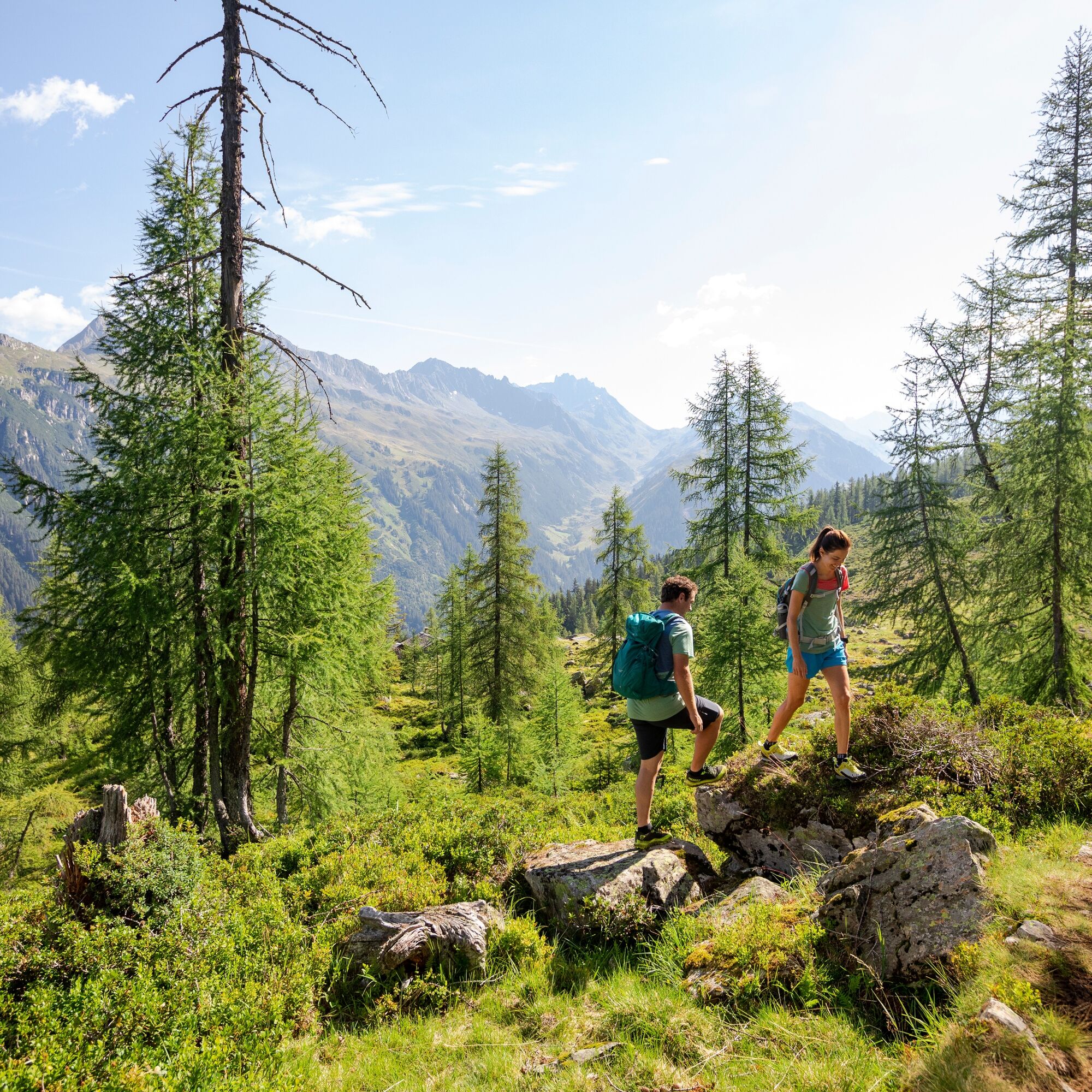
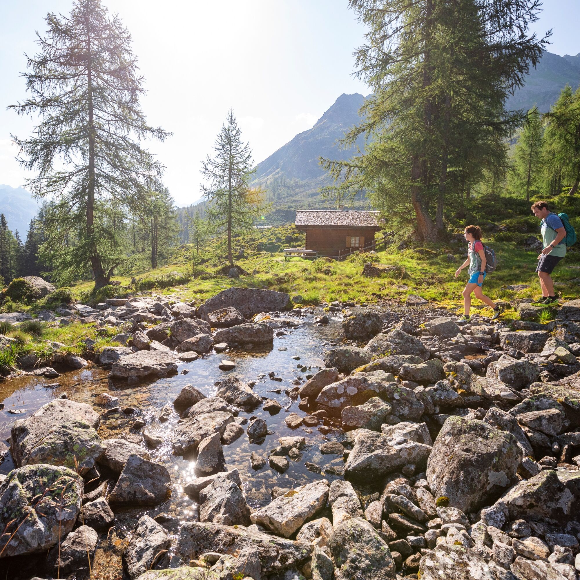
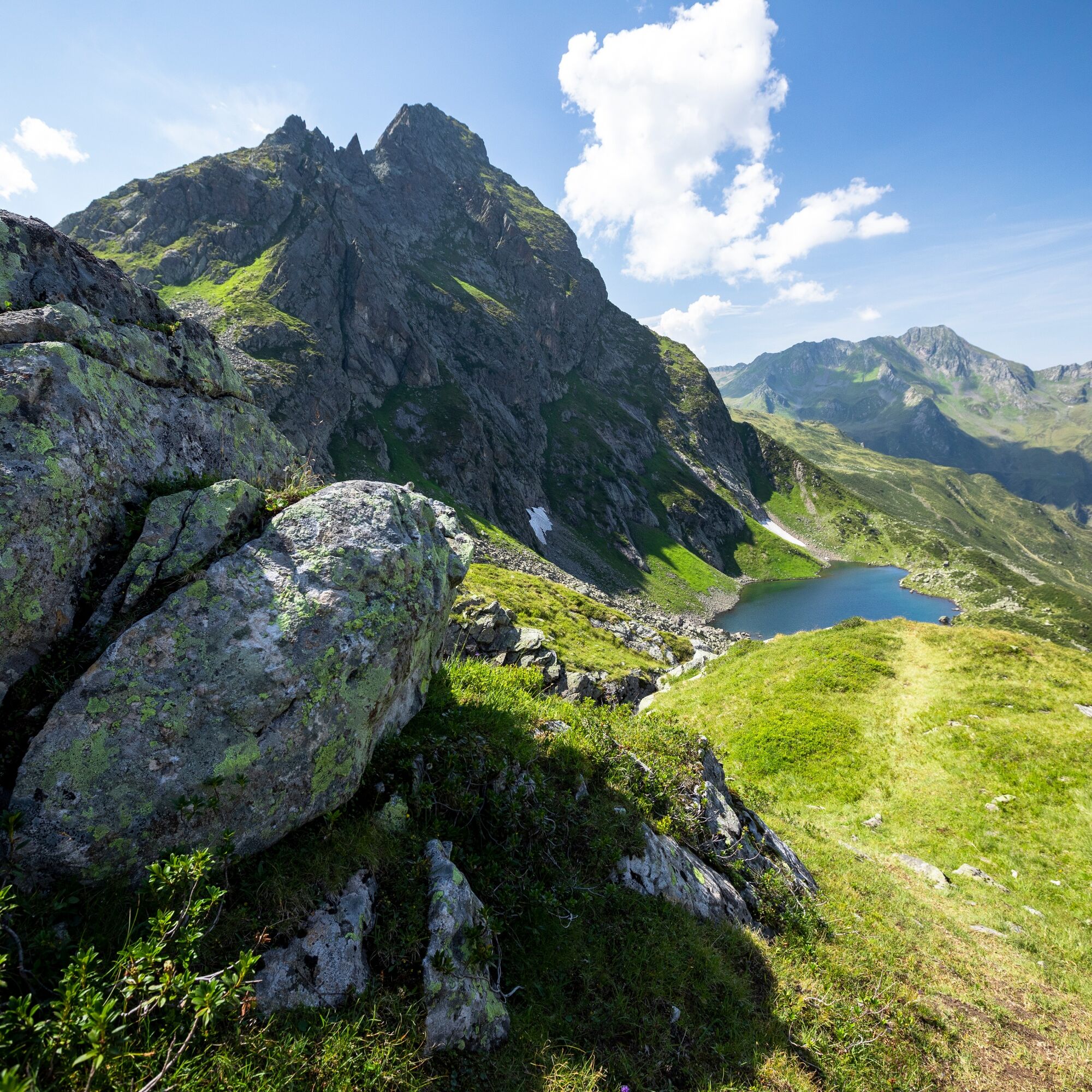
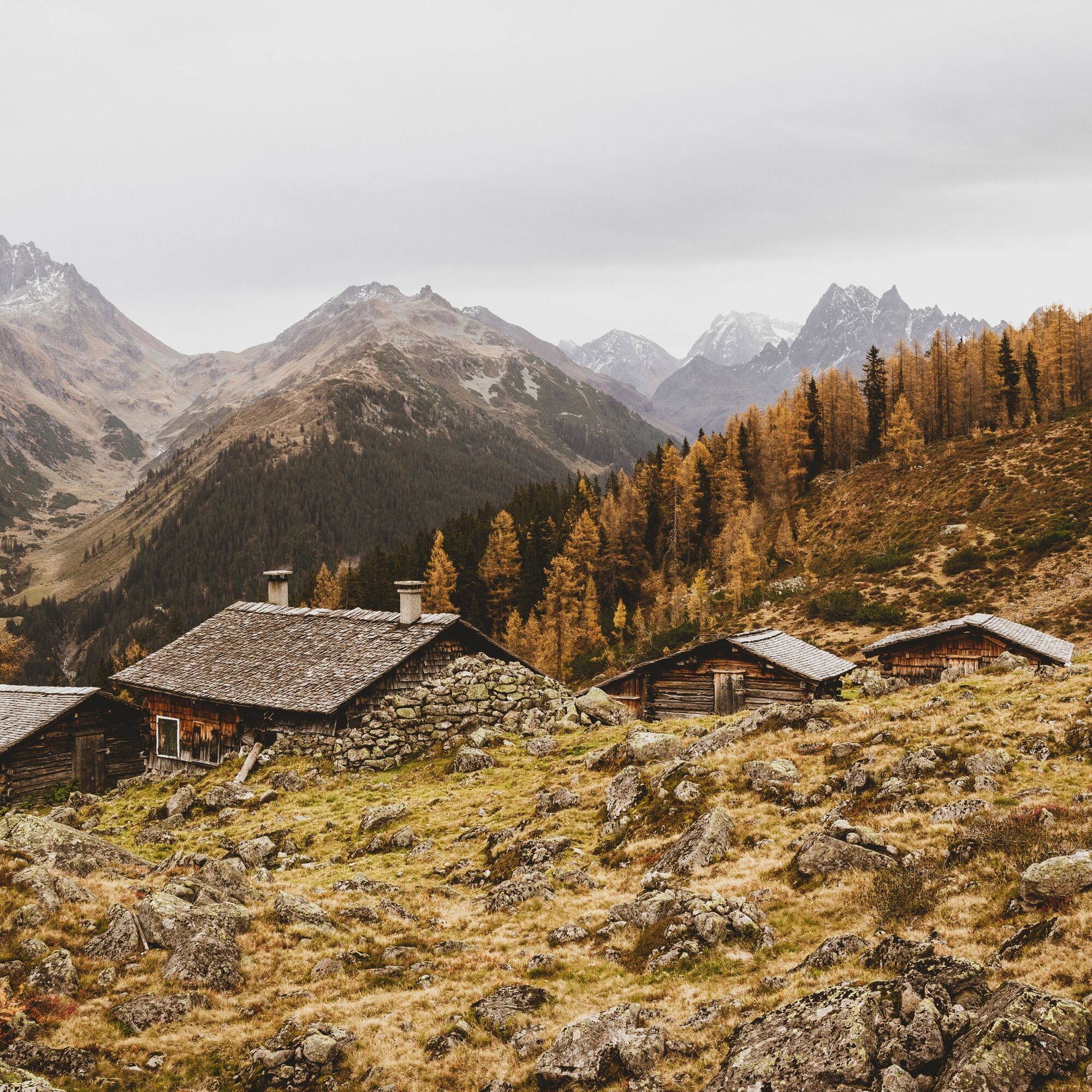
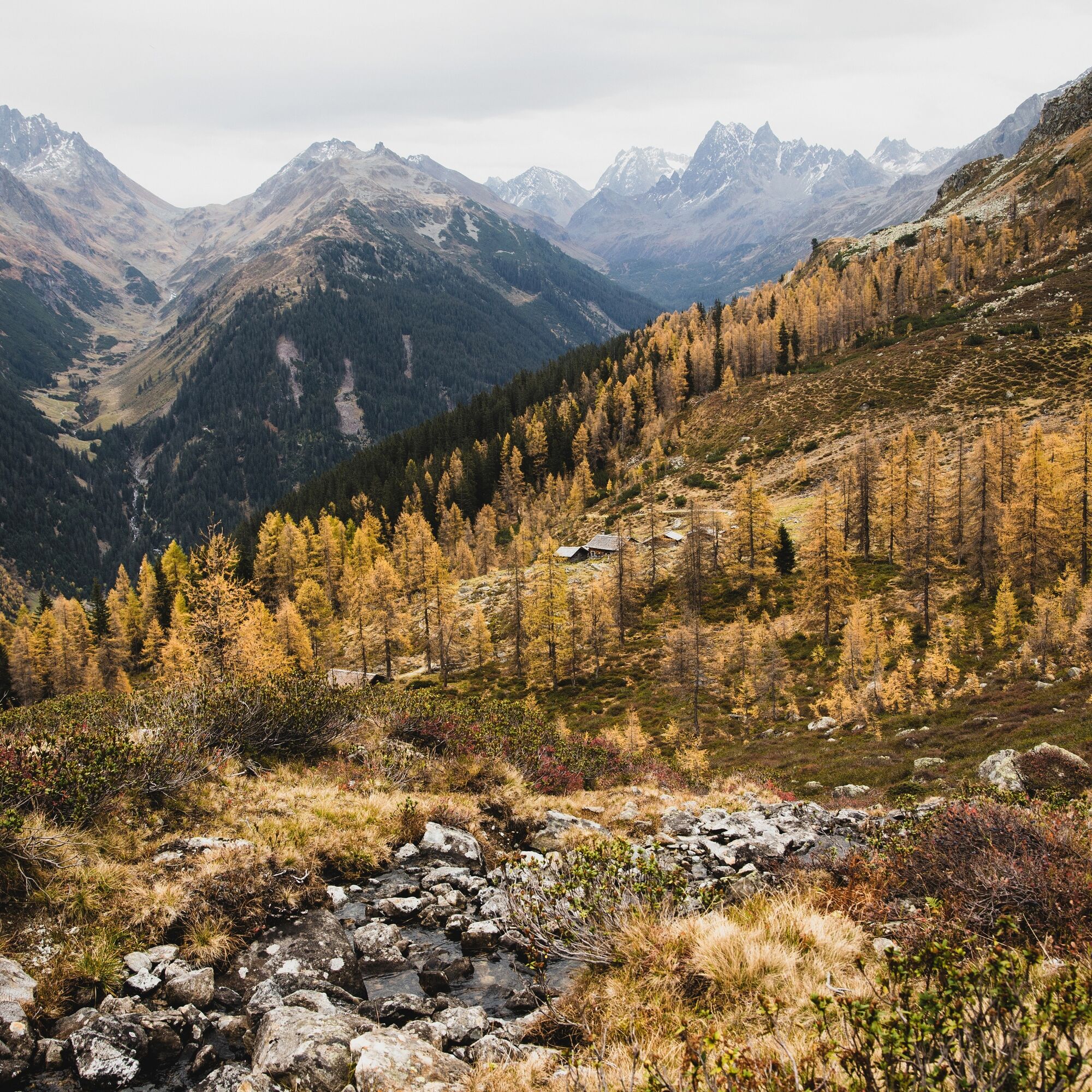
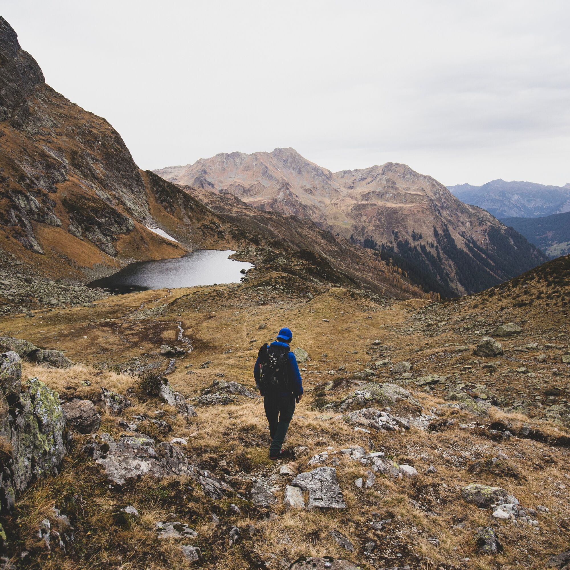
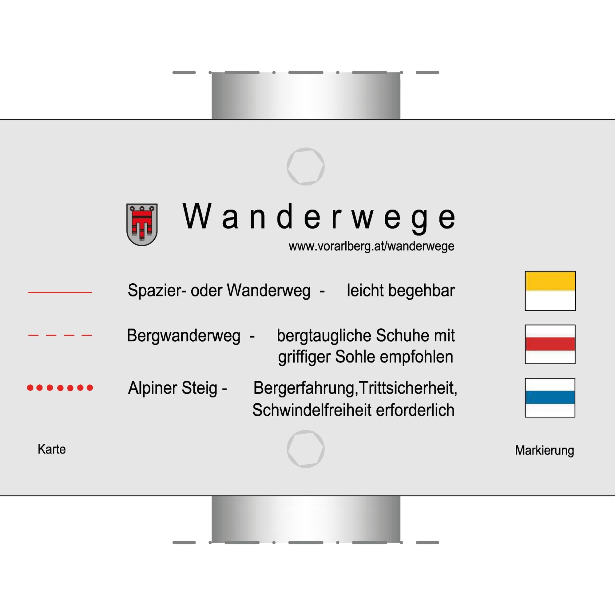

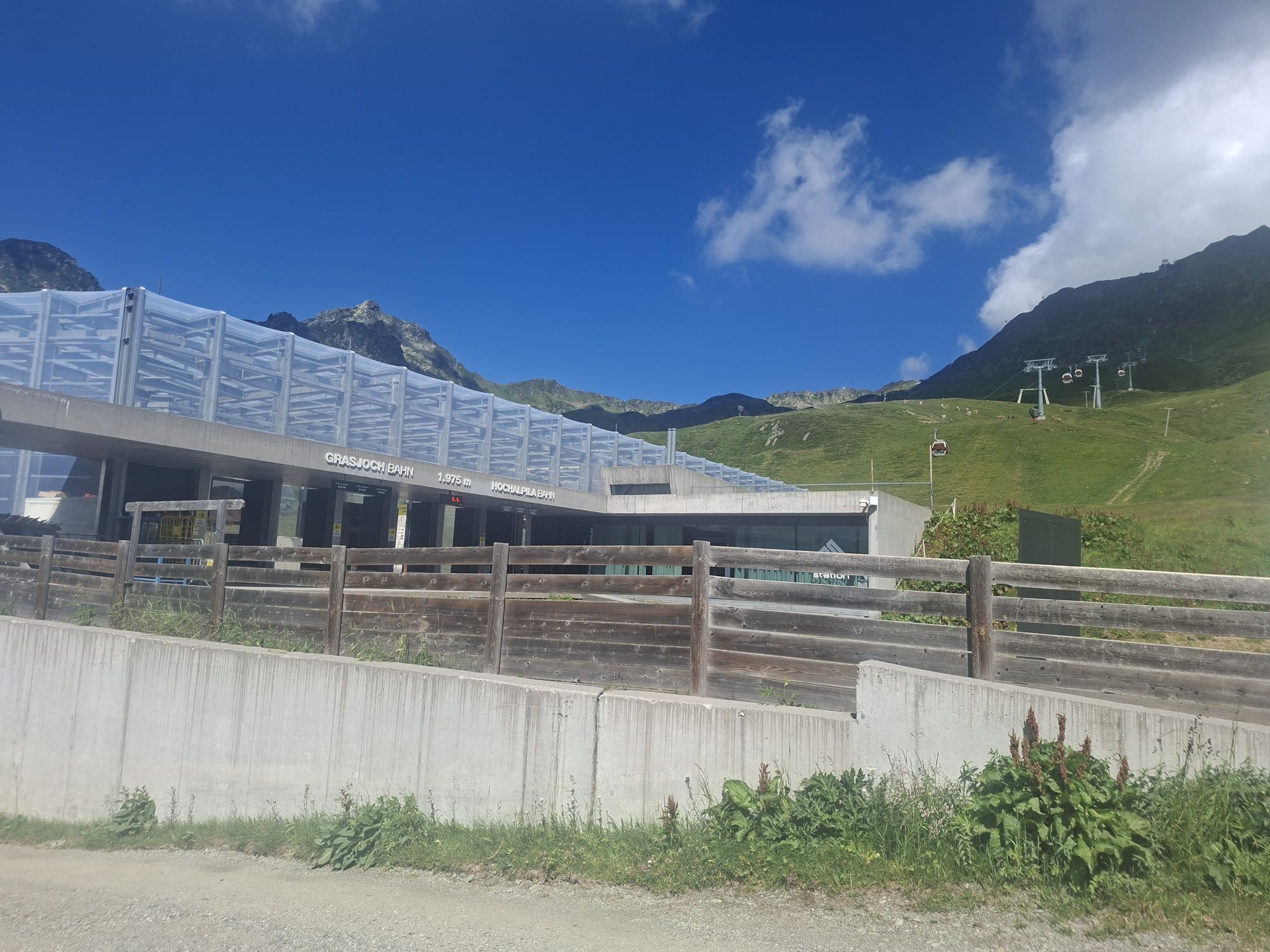
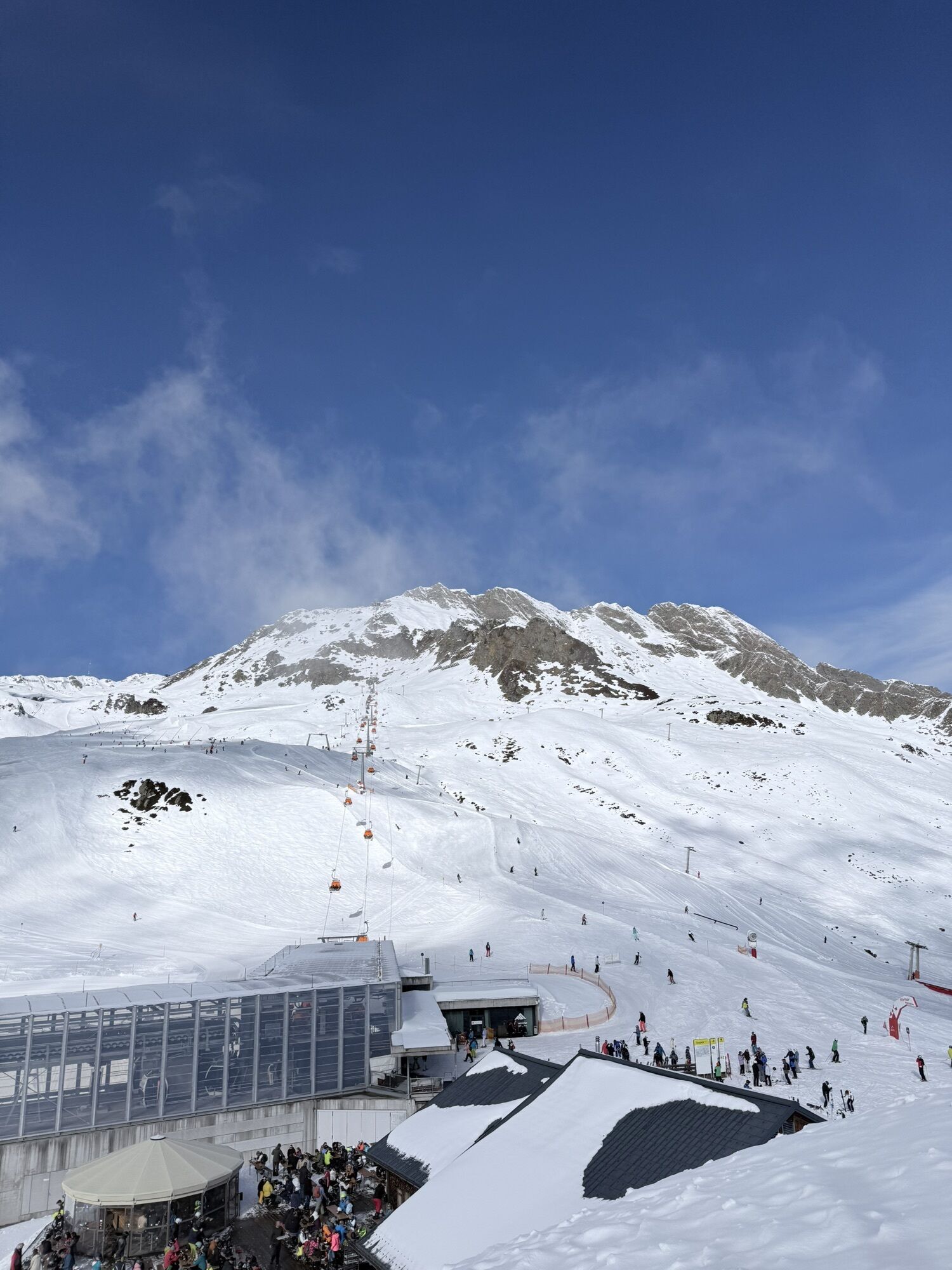
From the starting point at the mountain station of the Grasjoch cable car, the route begins with a short ascent along the Wormser Höhenweg towards Wormser Törl/Scheimersch. Passing the Wormser Törl (below the Scheimersch*), the beautiful Höhenweg with views of St. Gallenkirch leads up to the junction of the Alpgues lakes (2,320 m). From here, the upper Alpgues lake is already clearly visible. The path leads you directly along the lake and further to the lower Alpgues lake past beautiful small waterfalls. From the lower Alpgues lake, the path descends about 260 meters to the valley to the Alpgues alp (lowest point of the hike at 1,720 m). From the Alpgues alp, the path moderately but steadily ascends back to the starting point, the mountain station of the Grasjoch cable car. A stop at the Grasjoch hut with views of the Silvretta mountain range is the crowning finale of this route.
*For experienced mountain hikers, the summit of the Scheimersch is definitely worth a detour. For this additional stretch, you cover about 200 meters of altitude gain extra. Afterwards, you return via the same route to the circular path. Surefootedness and a head for heights are required.
Tak
Day hiking backpack (approx. 20 liters) with rain cover, sturdy and comfortable footwear, weather-appropriate and durable clothing in layered principle, optional telescopic poles, sun and rain protection, provisions and drinking water, first aid kit, pocket knife, mobile phone, optional headlamp, map material
EMERGENCY CALL: 144
European emergency number: 112 (works with any mobile phone/network)
Coming from Bludenz, take the Bludenz/Montafon motorway exit and follow the L188 into the Montafon to St. Gallenkirch, where you can drive to the parking lots of the Valisera cable car or the Grasjoch cable car.
Leave your car parked
The Montafonbahn's regional buses run throughout the Montafon. The main lines run every half hour from Schruns station.
Bus stop at the start/finish of the route: St. Gallenkirch Valisera cable car / line 650
Timetable: www.vmobil.at
Arrival by train to Montafon
From Bludenz station, the Montafonbahn runs hourly (sometimes every half hour). There are also direct connections from Lindau (D) or from Bregenz.
Timetable: www.oebb.at
You can park directly at the Grasjoch cable car (your starting point)
T2
Every Friday, this hike takes place as a guided route as part of the BergePLUS program.
Take plenty of time, as the beautiful landscape invites you to linger. Don't forget: Pay attention to the operating hours of the Grasjoch cable car so you can safely return to the valley.

Kamery internetowe z trasy
Uzyskaj wgląd
Zawsze na żywo z ponad 9 500 kamer internetowych. bergfex Jako użytkownik Pro, możesz teraz zobaczyć odpowiednie kamery internetowe dla wielu wycieczek w aplikacji wycieczki od. Pozwala to na bezpośredni podgląd aktualnych warunków.
Popularne wycieczki w okolicy
-
5,0
Ski tour to the Lindauer Hut (1,744 m)
światłoWycieczka narciarska 14,0 km -
4,7
Smuggler’s path
średniTrasa tematyczna 8,60 km -
4,7
Kristberg - Wasserstubental - Silbertal
światłoWędrówka 13,8 km -
4,6
Over the historic mine and Fritzensee to Rellseck
średniWędrówka 7,25 km -
4,4
Golmer Lakes Trail
średniTrasa tematyczna 7,28 km -
4,6
Madrisella summit path
średniTrasa tematyczna 10,8 km -
4,3
Golmerbahn Bergstaion Grüneck - Golmer Höhenweg - Geißspitze - Lindauer Hütte - Latschau
średniWędrówka 11,5 km -
4,8
Heilbronner lodge
średniWędrówka 13,0 km -
4,9
Alpgues Runde
średniWędrówka 9,21 km -
4,8
Madrisella via ferrata
ciężkiVia ferrata 8,52 km

Wędrówki i tropienie


Nie przegap ofert i inspiracji na następne wakacje
Twój adres e-mail została dodana do listy mailingowej.





