







From Silbertal to the alpine hut Fellimännle and back
Note: In winter, the Alpengasthaus Fellimännle is closed - we recommend bringing a snack/lunch pack. The route is only possible with appropriate avalanche safety. The snowshoe routes are in open terrain....
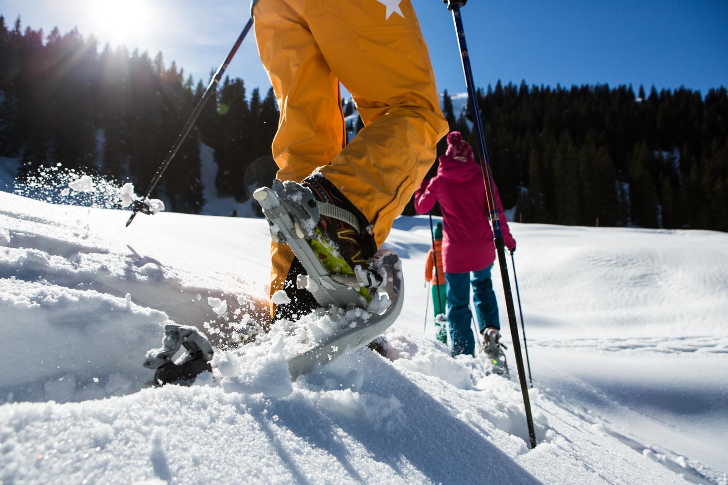
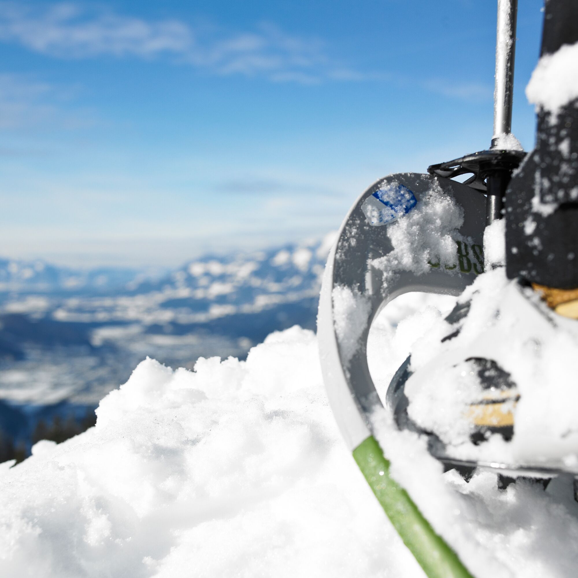

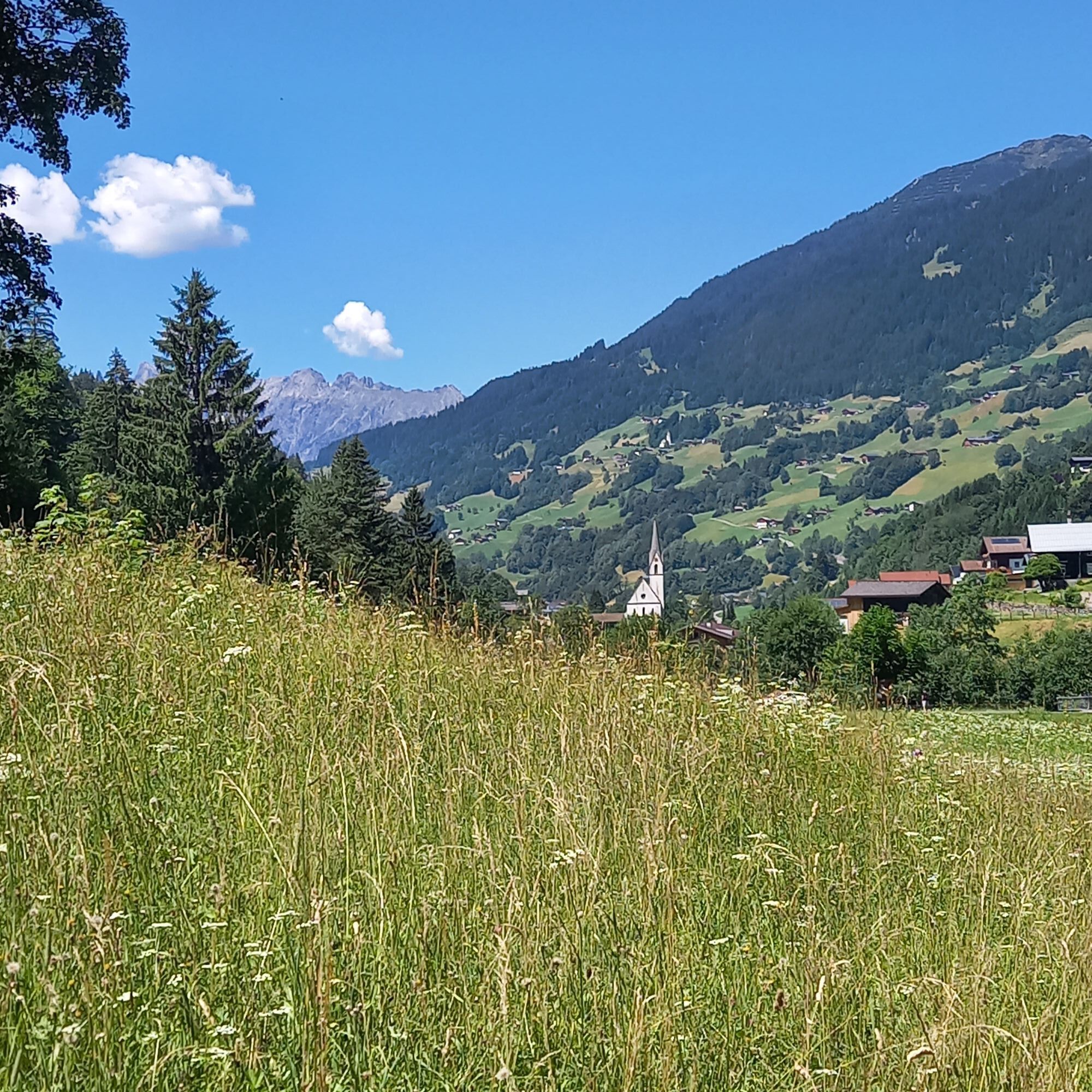
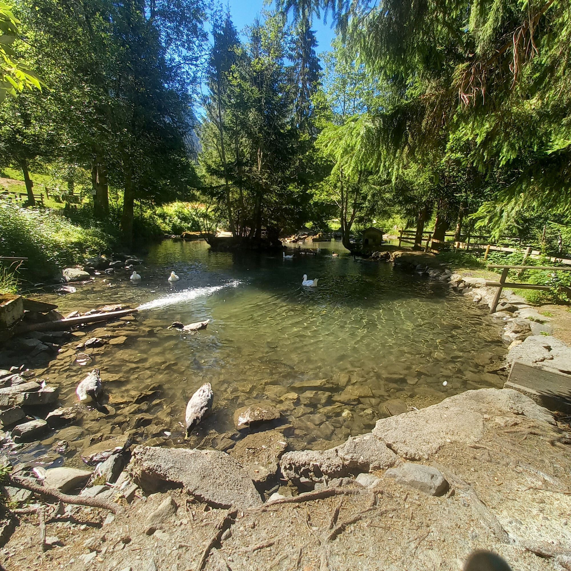
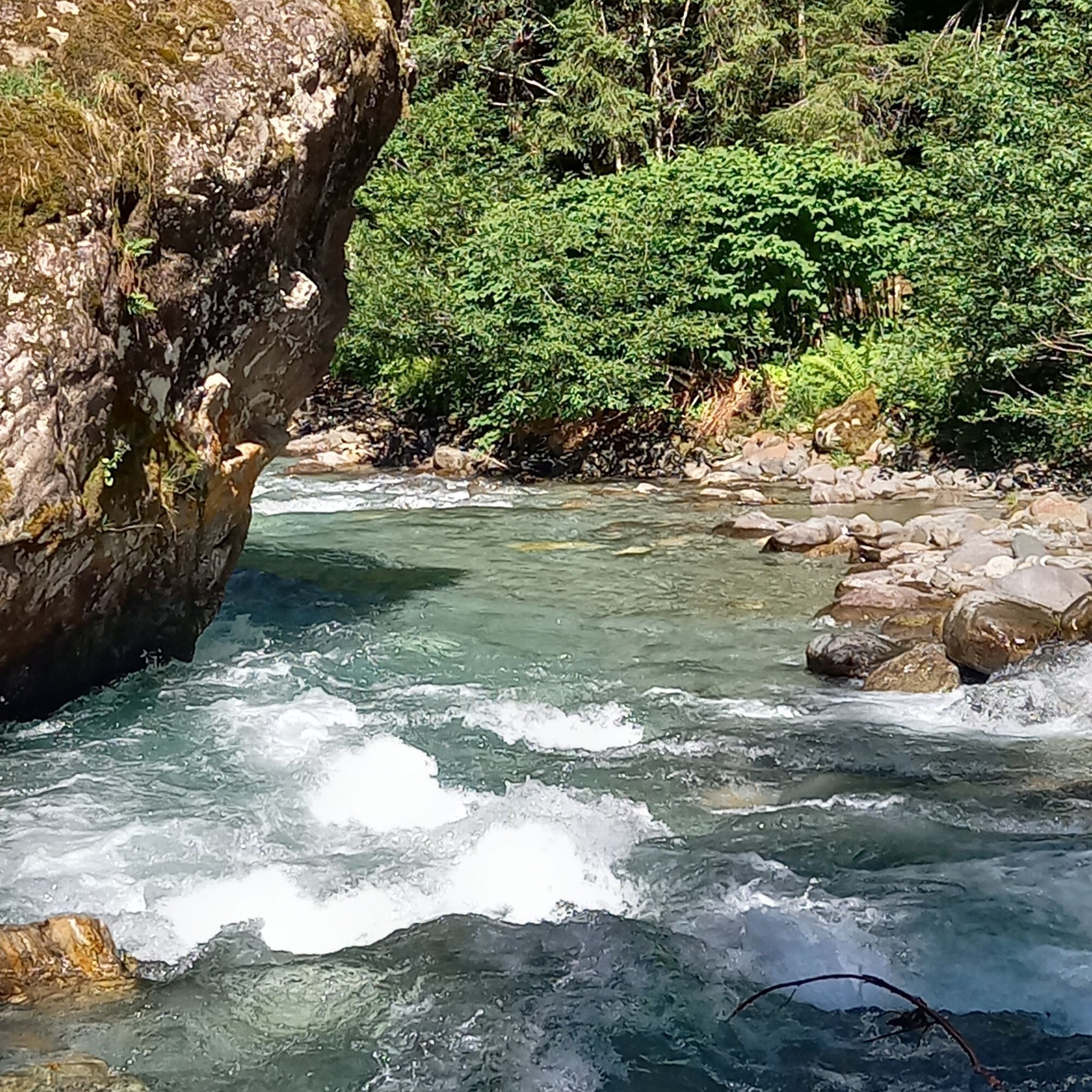
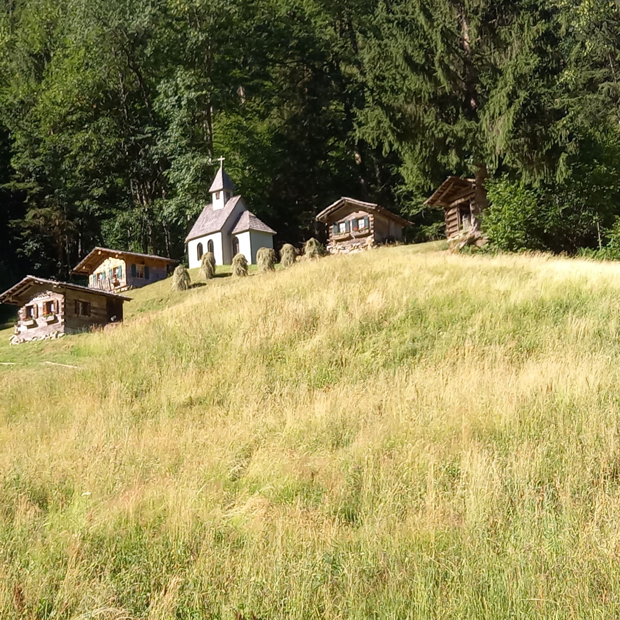
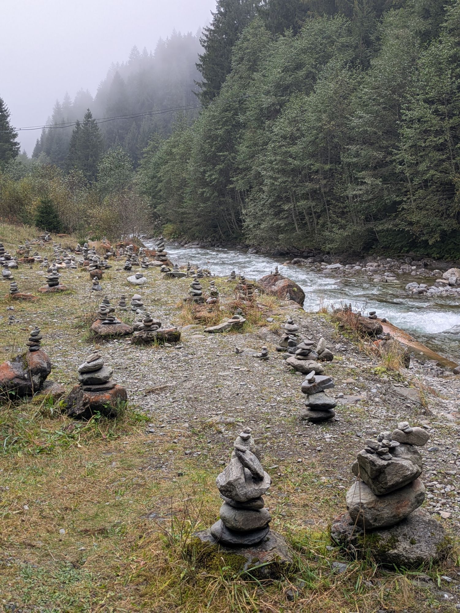
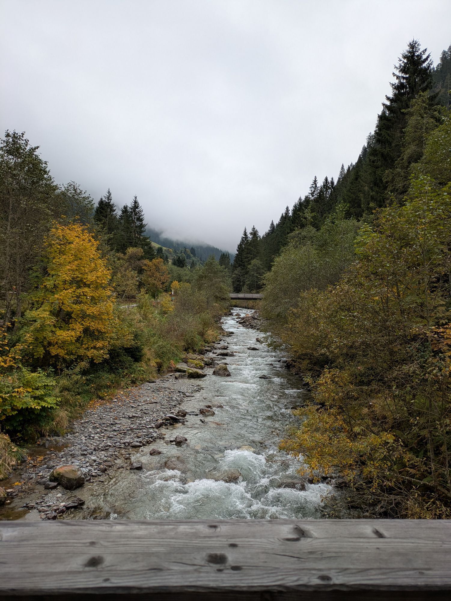
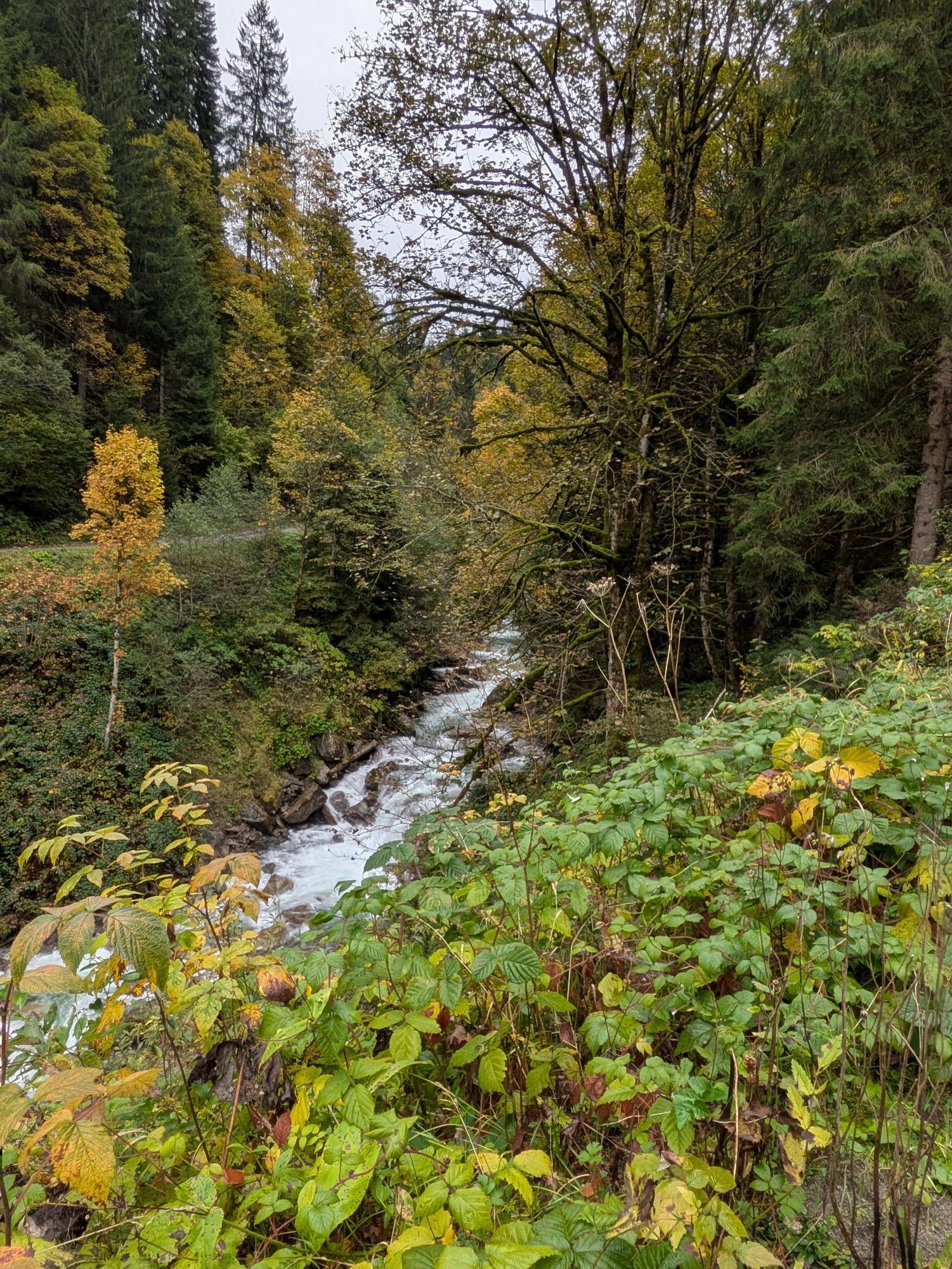
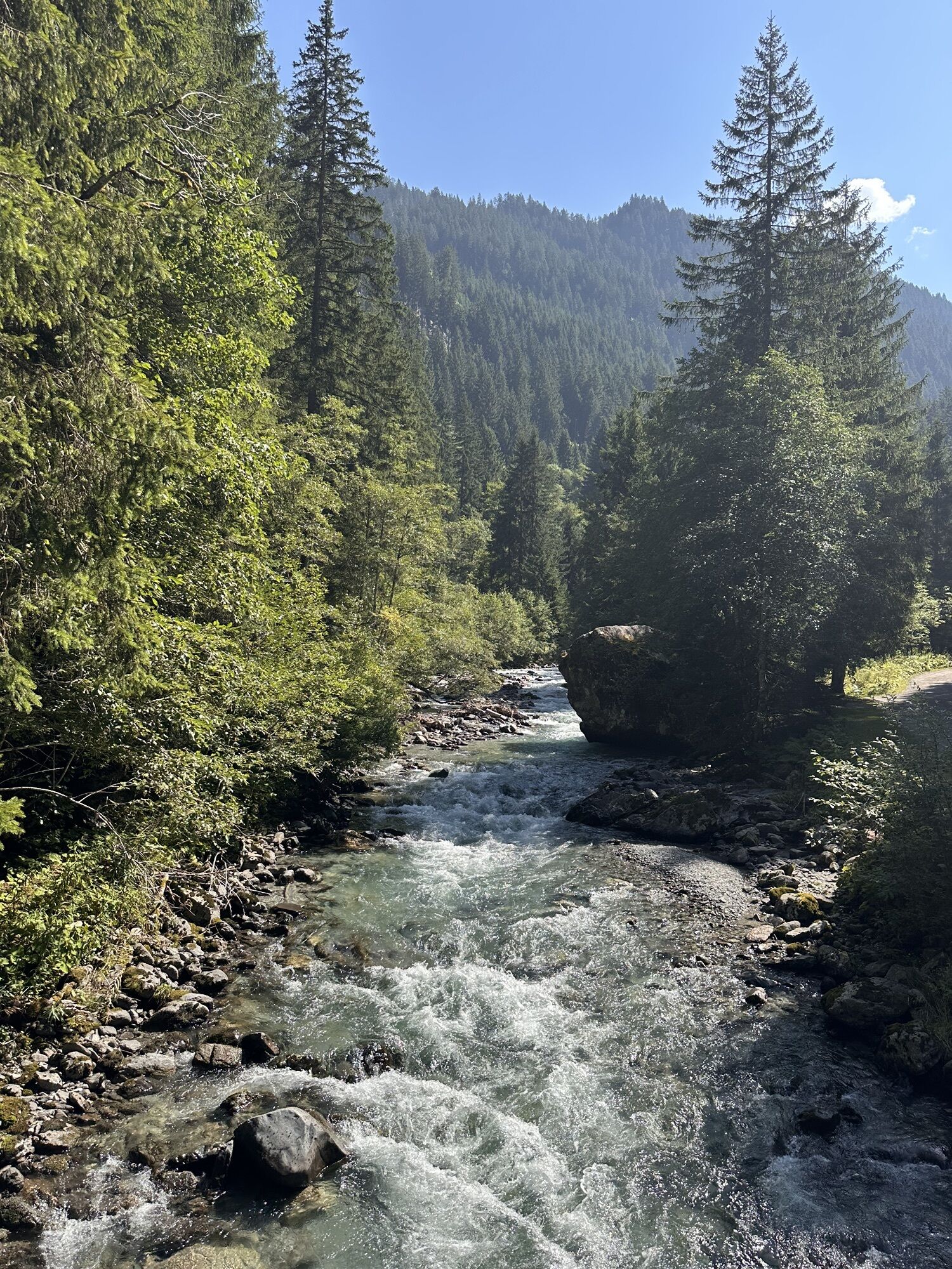
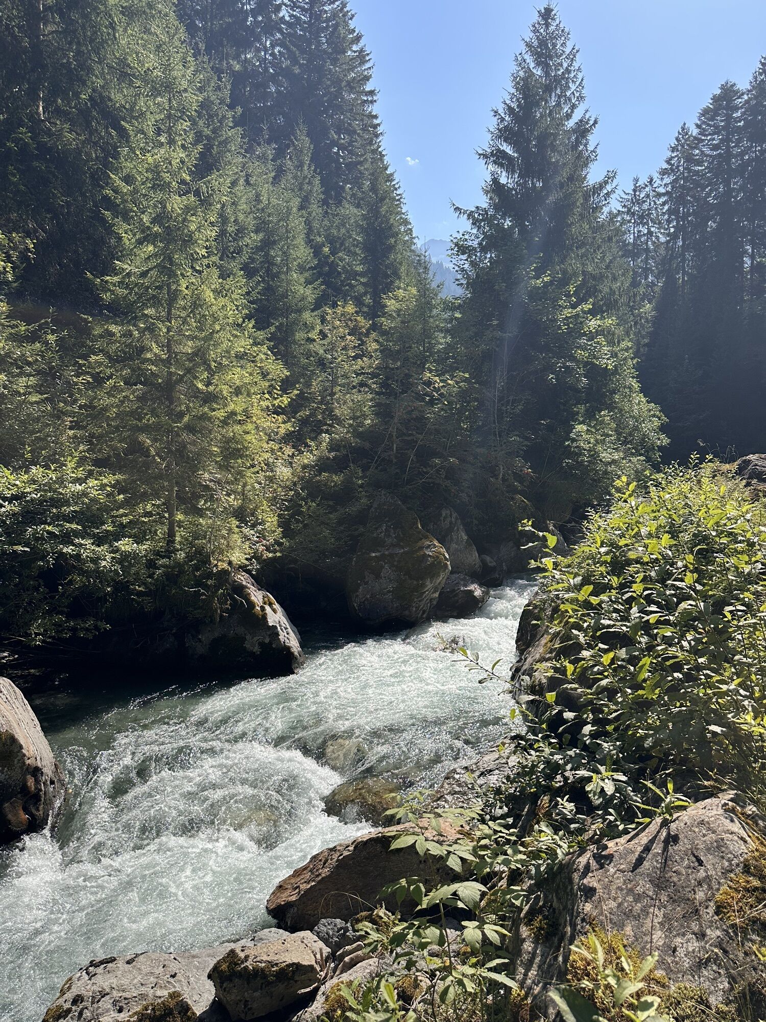
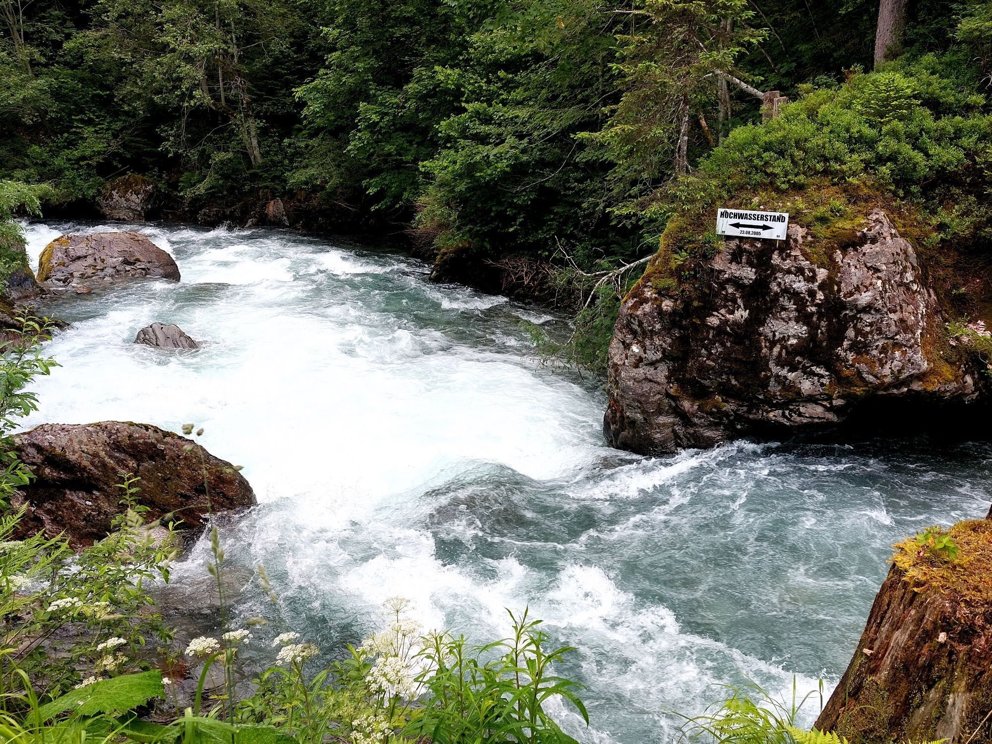
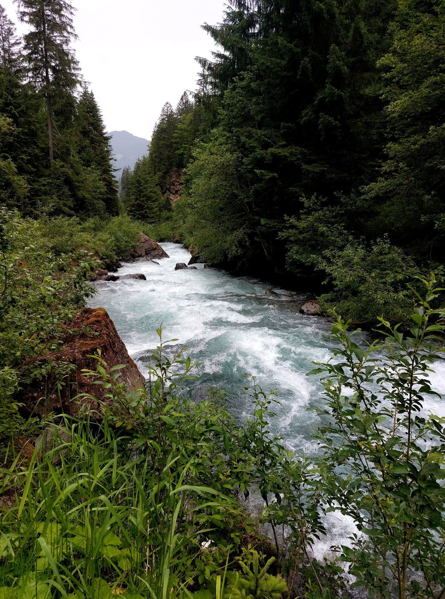
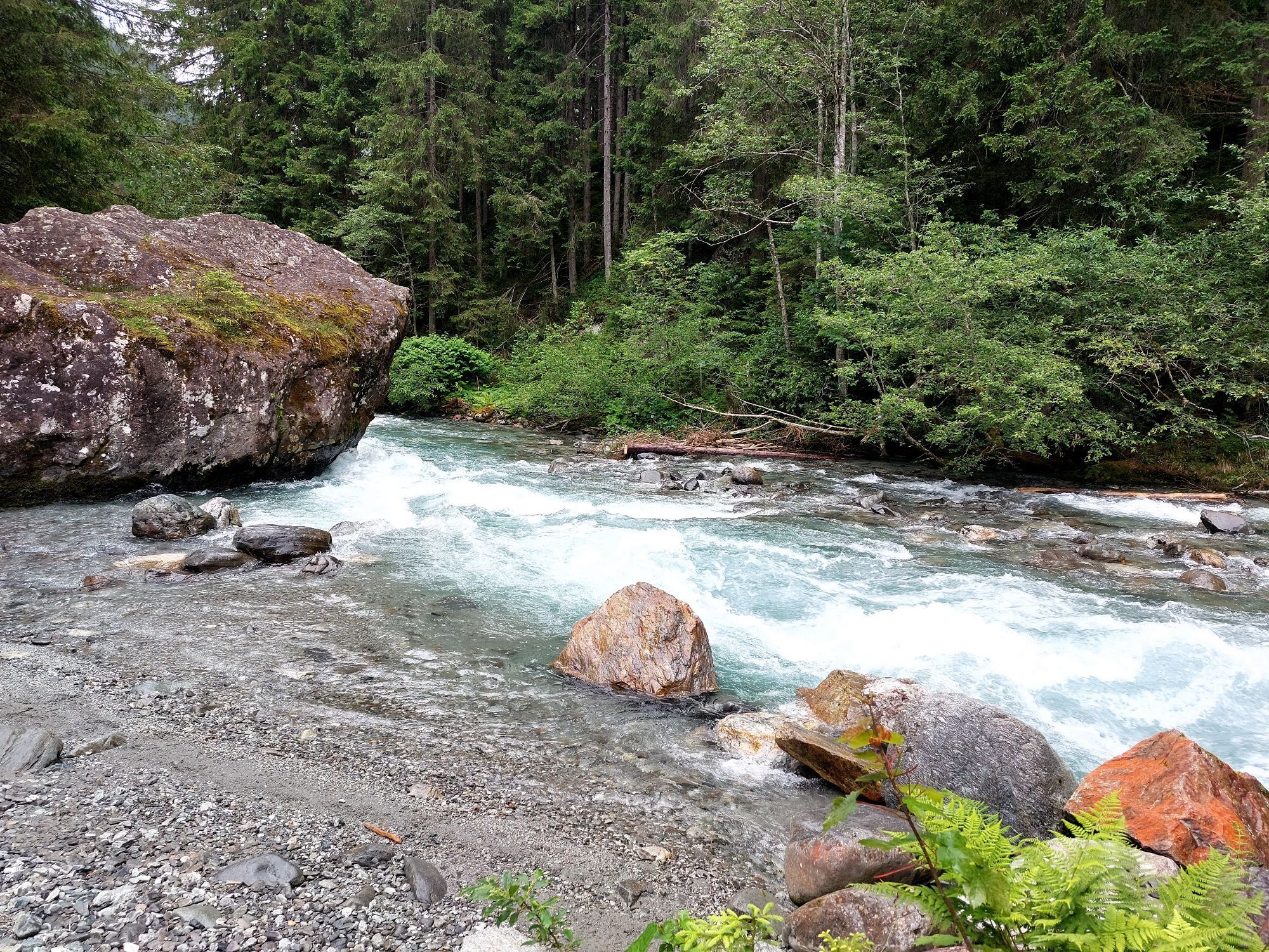
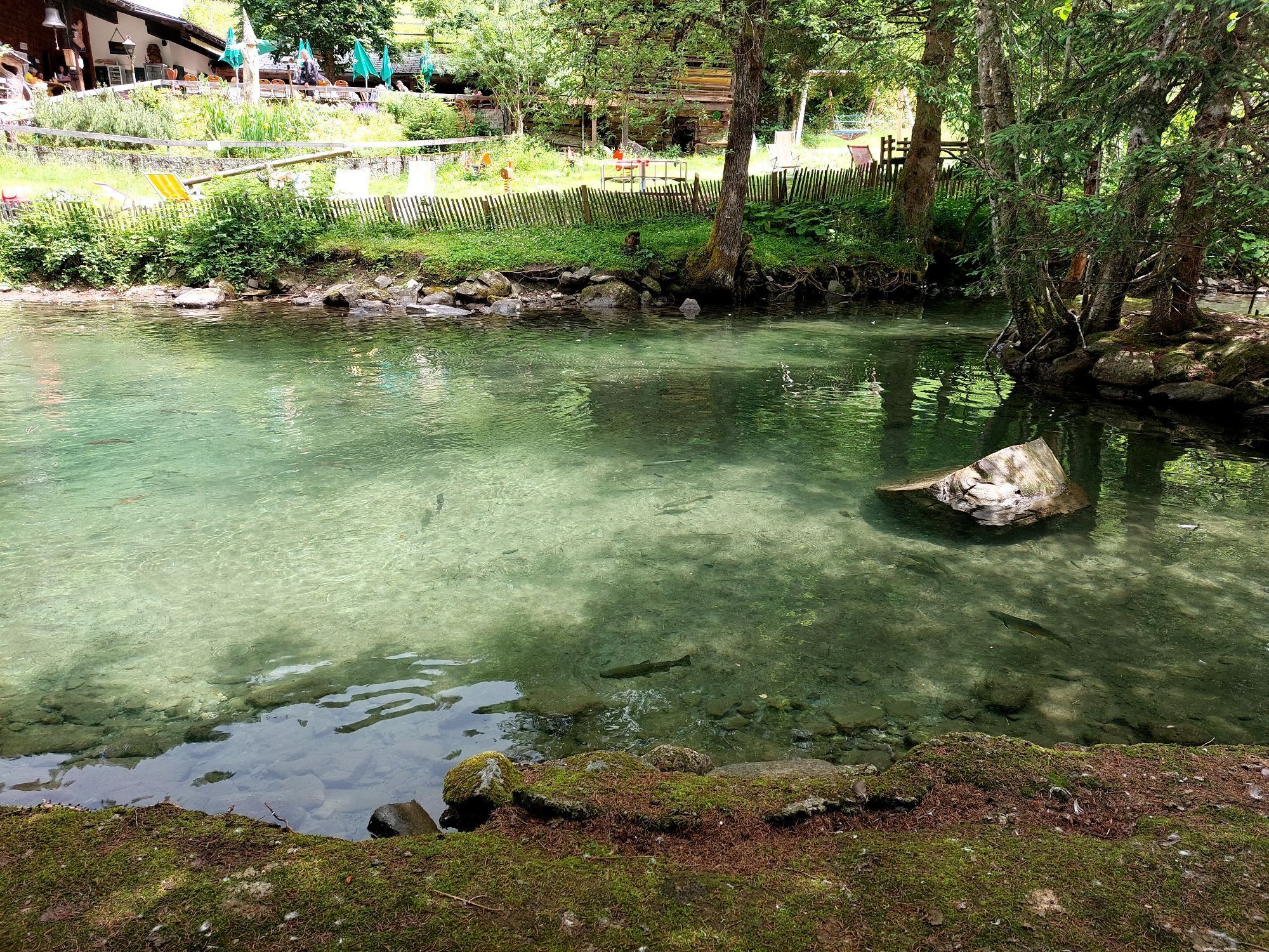
From the Felsa parking lot the route goes downstream along the Litz to the Fellimännle inn and returns on the same trail to the starting point.
Tak
European emergency number: 112 (works with any mobile phone/network)
Take the A14 to the Bludenz/Montafon exit and continue on Montafonerstraße L188 to Schruns. From Schruns you reach Silbertal.
Just leave your car standing
The regional buses operate throughout Montafon. The main lines run every half hour from Schruns train station.
Bus stop for start/finish of the route: Silbertal Kristberg Cable Car / Line 88
Timetable: www.vmobil.at
Arrival by train to Montafon
From Bludenz station, the Montafon railway runs hourly (partially every half hour). There are also direct connections from Lindau (D) and from Bregenz.
Timetable: www.oebb.at
Felsa parking lot or valley station of the Kristberg cable car
Snowshoe hikes are endurance sports. Avoid time pressure and increase the intensity and extent of your tours gradually. Fluids, energy, and breaks are necessary to maintain performance and concentration. Hot, isotonic drinks are ideal thirst quenchers and warmers. Muesli bars, dried fruit, and cookies satisfy small hunger on the way.
Kamery internetowe z trasy
-
Bergstation Sonnenkopf
-
Hochjoch Bahn Bergstation
-
Montafoner Kristbergbahn Bergstation
-
Panoramagasthof Kristberg
-
Panoramagasthof Kristberg
-
Kristberglift mit St. Agatha Kirche
-
Kinderland Skischule Silbertal
-
Bergstation Hochalpila Bahn
-
Silbertal Dorf
-
Innerberg
-
Silvretta-Montafon - Panorama Bahn
-
Bergstation Sonnenkopf
-
Bergstation Sonnenkopf
-
Bergstation Sonnenkopf
-
Bergstation Sonnenkopf
-
Bartholomäberg - Ferienhotel Fernblick
-
Wormserhütte
-
Wormserhütte
-
Kapellbahn
-
Bartholomäberg - Ferienhotel Fernblick
-
Bartholomäberg - Ferienhotel Fernblick
-
Bartholomäberg - Ferienhotel Fernblick
Uzyskaj wgląd
Zawsze na żywo z ponad 9 500 kamer internetowych. bergfex Jako użytkownik Pro, możesz teraz zobaczyć odpowiednie kamery internetowe dla wielu wycieczek w aplikacji wycieczki od. Pozwala to na bezpośredni podgląd aktualnych warunków.

Popularne wycieczki w okolicy
-
5,0
Ski tour to the Lindauer Hut (1,744 m)
światłoWycieczka narciarska 14,0 km -
4,4
Golm-Rundwanderweg im Rätikon
średniTrasa tematyczna 7,28 km -
4,6
Over the historic mine and Fritzensee to Rellseck
średniWędrówka 7,25 km -
4,3
Golmerbahn Bergstaion Grüneck - Golmer Höhenweg - Geißspitze - Lindauer Hütte - Latschau
średniWędrówka 11,5 km -
4,7
Kristberg - Wasserstubental - Silbertal
światłoWędrówka 13,8 km -
4,8
Heilbronner lodge
średniWędrówka 13,0 km -
4,5
Madrisella summit path
średniTrasa tematyczna 10,8 km -
4,9
Alpgues Runde
średniWędrówka 9,21 km -
3,0
Bergstation Grüneck Golmerbahn - Alpe Latschätz - Lindauer Hütte - Latschau
światłoWędrówka 11,1 km -
3,3
Dalaas - Freiburgerhütte
średniWędrówka 8,40 km
Wędrówki i tropienie


Nie przegap ofert i inspiracji na następne wakacje
Twój adres e-mail została dodana do listy mailingowej.





