







From Latschau via Gafadura to Grabs
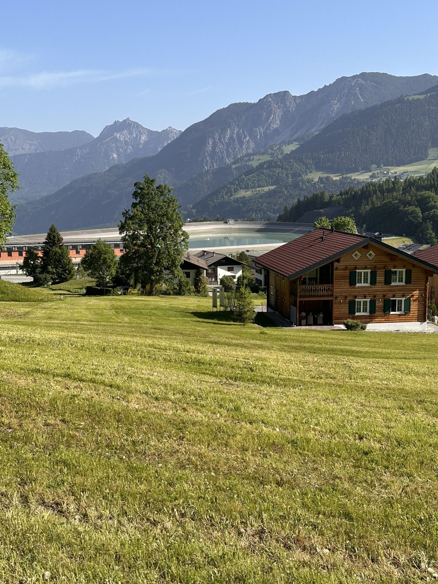
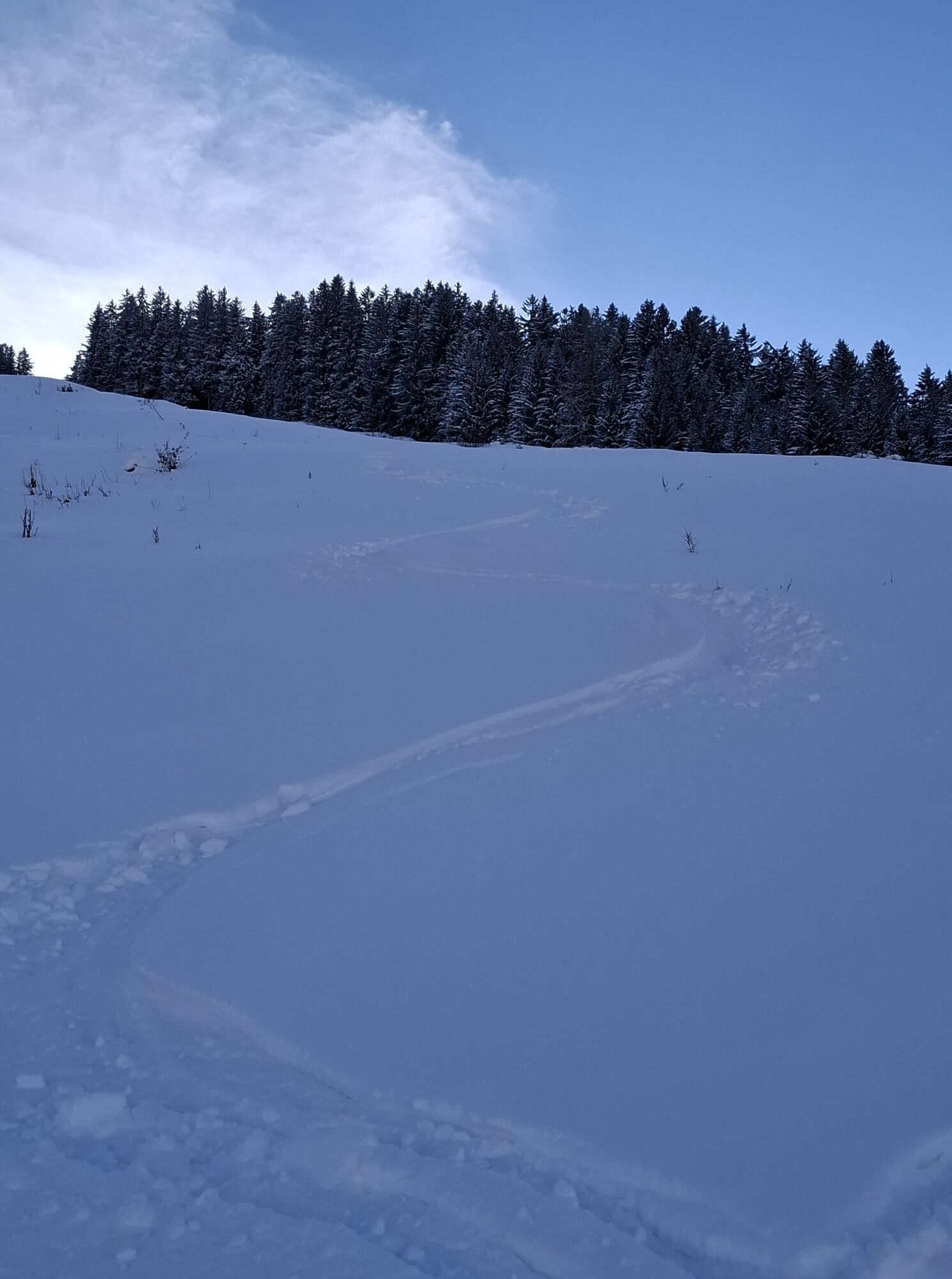
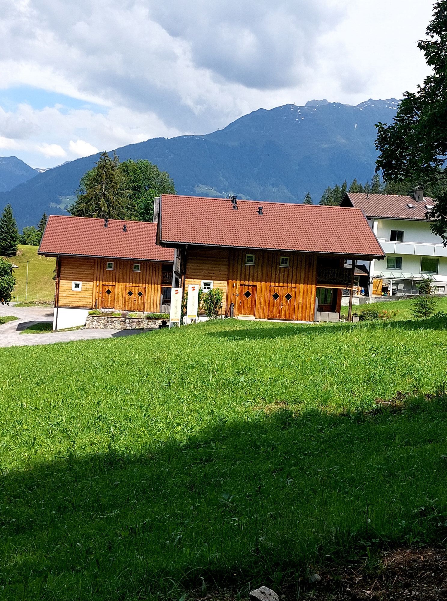
With every step into the untouched winter landscape, you come a little closer to your personal winter fairy tale!

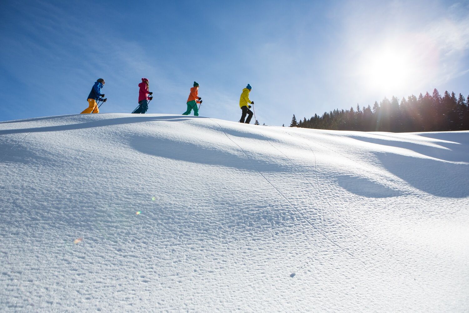
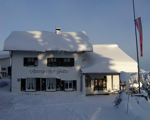
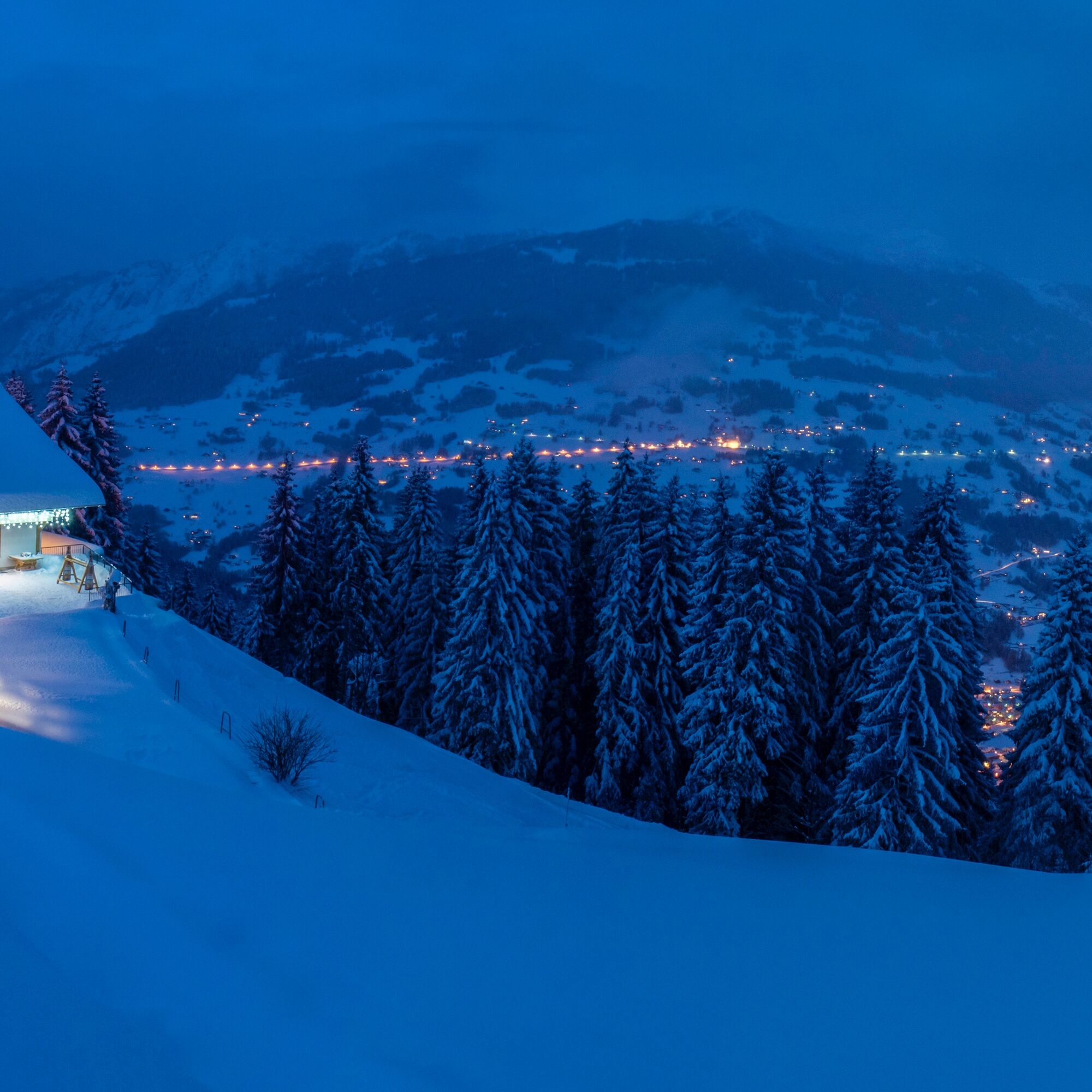
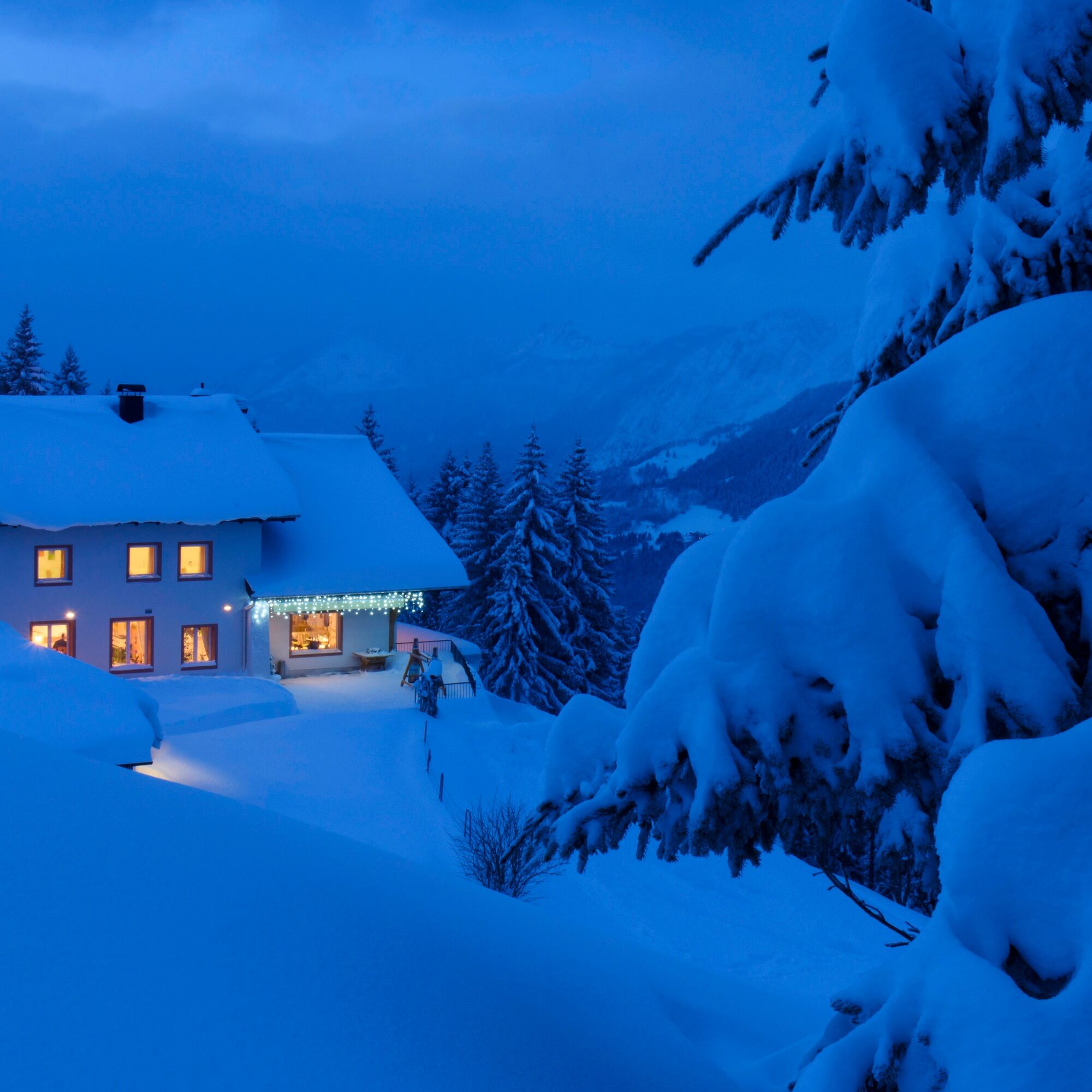

From the parking lot, follow the edge of the forest along the route to the Hotel Montabella. Then follow the road downhill. At the old sawmill of "Mülli-Ferdi," turn right and walk uphill into the Sanüel area. Once at the top, continue along the winter hiking trail to Grabs. After a refreshment at the Berggasthof Grabs, hike uphill to the right and then reach the Gafazutweg. Once there, continue left and you will arrive back at the starting point.
Snowshoes, telescopic poles with large baskets, avalanche equipment with transceiver, probe, and shovel, day hiking backpack (approx. 30 liters) with rain cover, possibly with avalanche airbag, comfortable and waterproof winter shoes or sturdy hiking boots that fit into the snowshoe bindings, gaiters if necessary, warm and durable clothing in multiple layers, ski jacket and pants, hat/headband, scarf, gloves, possibly ski goggles, sun and rain protection, provisions and drinking water, thermos with hot drink, first aid kit, pocket knife, mobile phone, possibly headlamp and reflectors, maps, bivouac sack, and rescue blanket.
EMERGENCY CALL:
140 Alpine emergencies throughout Austria
144 Alpine emergencies Vorarlberg
112 Euro emergency number (works with any mobile phone/network)
www.vorarlberg.travel/sicherheitstipps
Avalanche report:
The snowshoe routes are located in open terrain. Use at your own risk.
Drive on the A14 to the Bludenz/Montafon exit and then continue on Montafonerstraße L188 to Tschagguns. Via Tschagguns you reach the higher-lying Latschau.
Just leave your car parked
The regional buses run throughout Montafon. The main lines run every half hour from Schruns station.
Bus stop at the start/finish of the route: Latschau Kraftwerk / Line 1
Timetable: www.vmobil.at
Traveling by train to Montafon
From Bludenz station, the Montafonerbahn runs hourly (partly every half hour). There are also direct connections from Lindau (D) and from Bregenz.
Timetable: www.oebb.at
At the fire station (above the Golmerbahn) or at the Golmerbahn
This route is marked with the green number 14 on the overview map "Aktivkarte Schnee." The map is available free of charge at the Montafon tourist information.
The Berggasthof Grabs is ideal for a rest with food options.
Kamery internetowe z trasy
-
Grüneck Bergstation
-
Matschwitz Mittelstation
-
Sücka Schlepplift Talstation
-
Berghof Golm
-
Golm - Matschwitz
-
Golm - Hüttenkopfbahn
-
Golm - Rätikonbahn
-
Bartholomäberg
-
Tschagguns
-
Schruns
-
Tilisunahütte
-
Tilisunahütte
-
Bartholomäberg - Ferienhotel Fernblick
-
Schlepplift Innerbach
-
Bartholomäberg - Ferienhotel Fernblick
-
Bartholomäberg - Ferienhotel Fernblick
-
Bartholomäberg - Ferienhotel Fernblick
Uzyskaj wgląd
Zawsze na żywo z ponad 9 500 kamer internetowych. bergfex Jako użytkownik Pro, możesz teraz zobaczyć odpowiednie kamery internetowe dla wielu wycieczek w aplikacji wycieczki od. Pozwala to na bezpośredni podgląd aktualnych warunków.
Popularne wycieczki w okolicy
-
5,0
Ski tour to the Lindauer Hut (1,744 m)
światłoWycieczka narciarska 14,0 km -
4,7
Smuggler’s path
średniTrasa tematyczna 8,60 km -
5,0
Bürs, Bürserschlucht Bürs, Vorarlberg
średniWędrówka 5,31 km -
4,4
Golm-Rundwanderweg im Rätikon
średniTrasa tematyczna 7,28 km -
4,9
Douglasshütte, Lünersee, Gafalljoch Brand bei Bludenz, Vorarlberg
światłoWędrówka 9,16 km -
4,6
Over the historic mine and Fritzensee to Rellseck
średniWędrówka 7,25 km -
4,3
Golmerbahn Bergstaion Grüneck - Golmer Höhenweg - Geißspitze - Lindauer Hütte - Latschau
średniWędrówka 11,5 km -
4,7
Kristberg - Wasserstubental - Silbertal
światłoWędrówka 13,8 km -
4,2
Mondspitze (Montspitze)
średniWędrówka 7,97 km -
4,5
Madrisella summit path
średniTrasa tematyczna 10,8 km
Wędrówki i tropienie


Nie przegap ofert i inspiracji na następne wakacje
Twój adres e-mail została dodana do listy mailingowej.





