







Gaschurn via the Rifabecken to Partenen (Bofa) and back
The snowshoe routes are in open terrain. Use at your own risk.

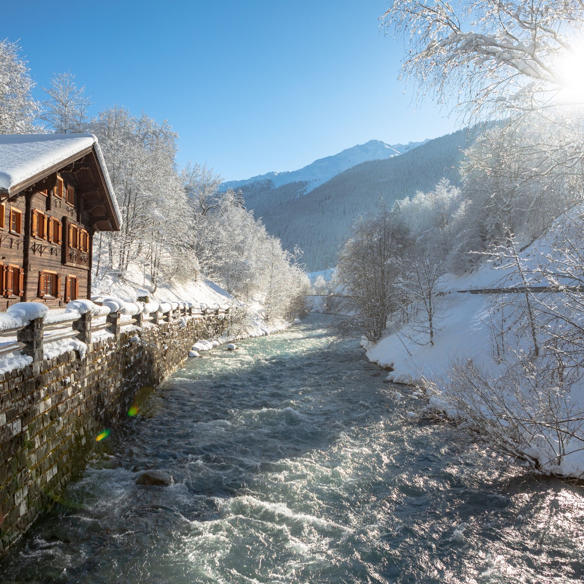
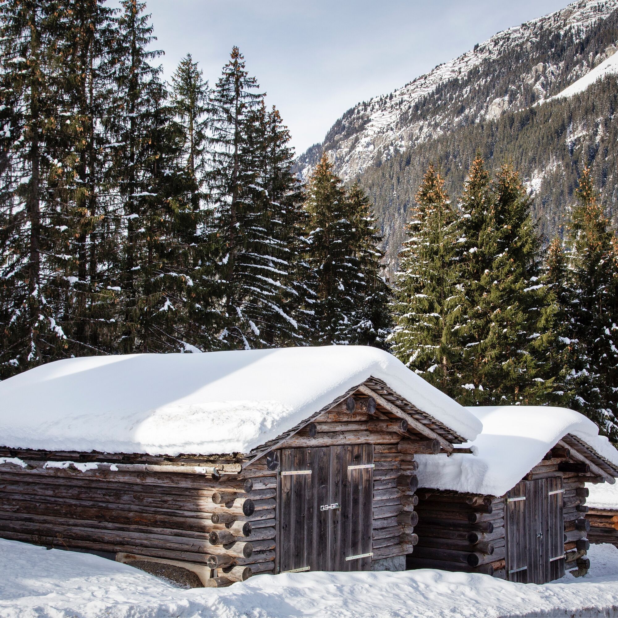
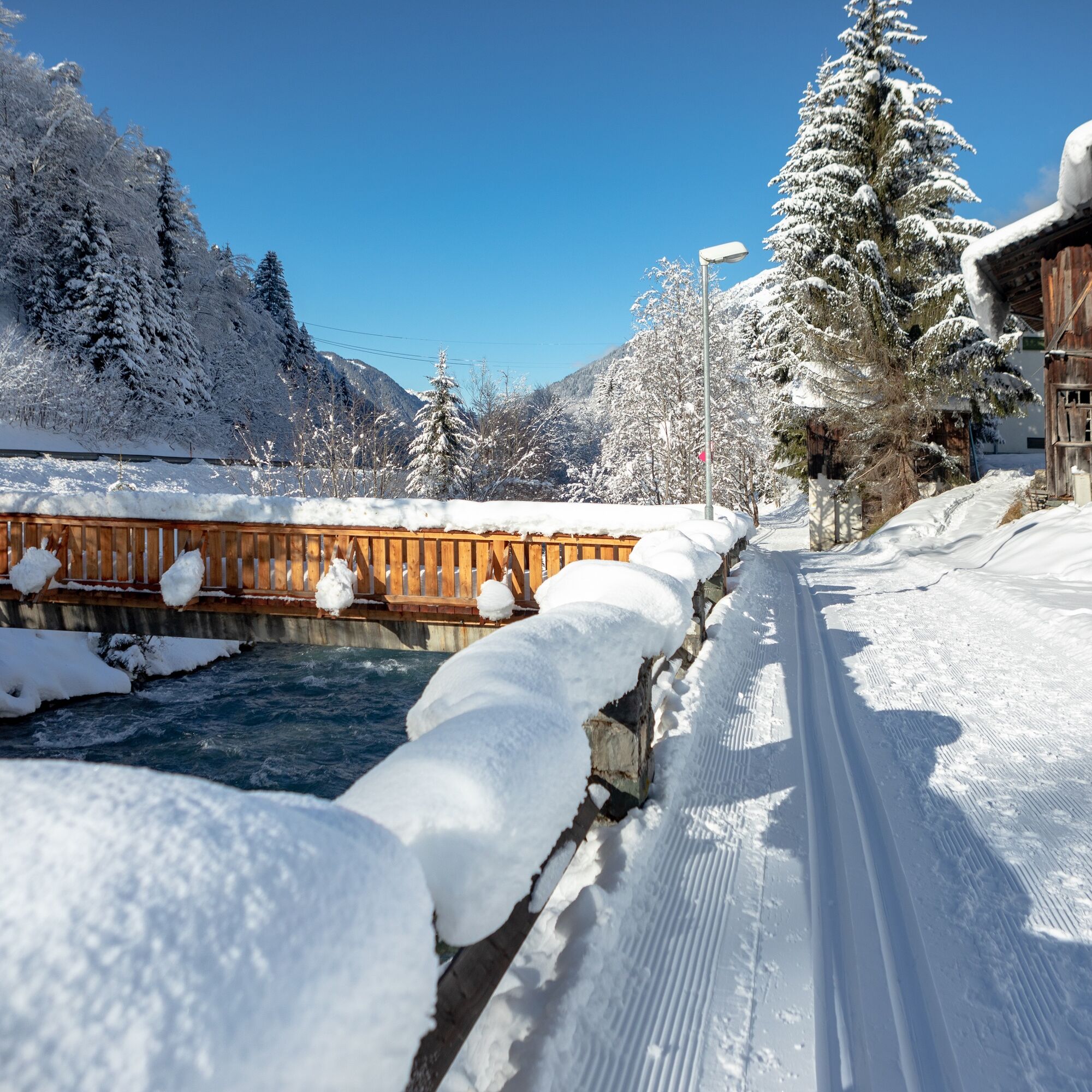
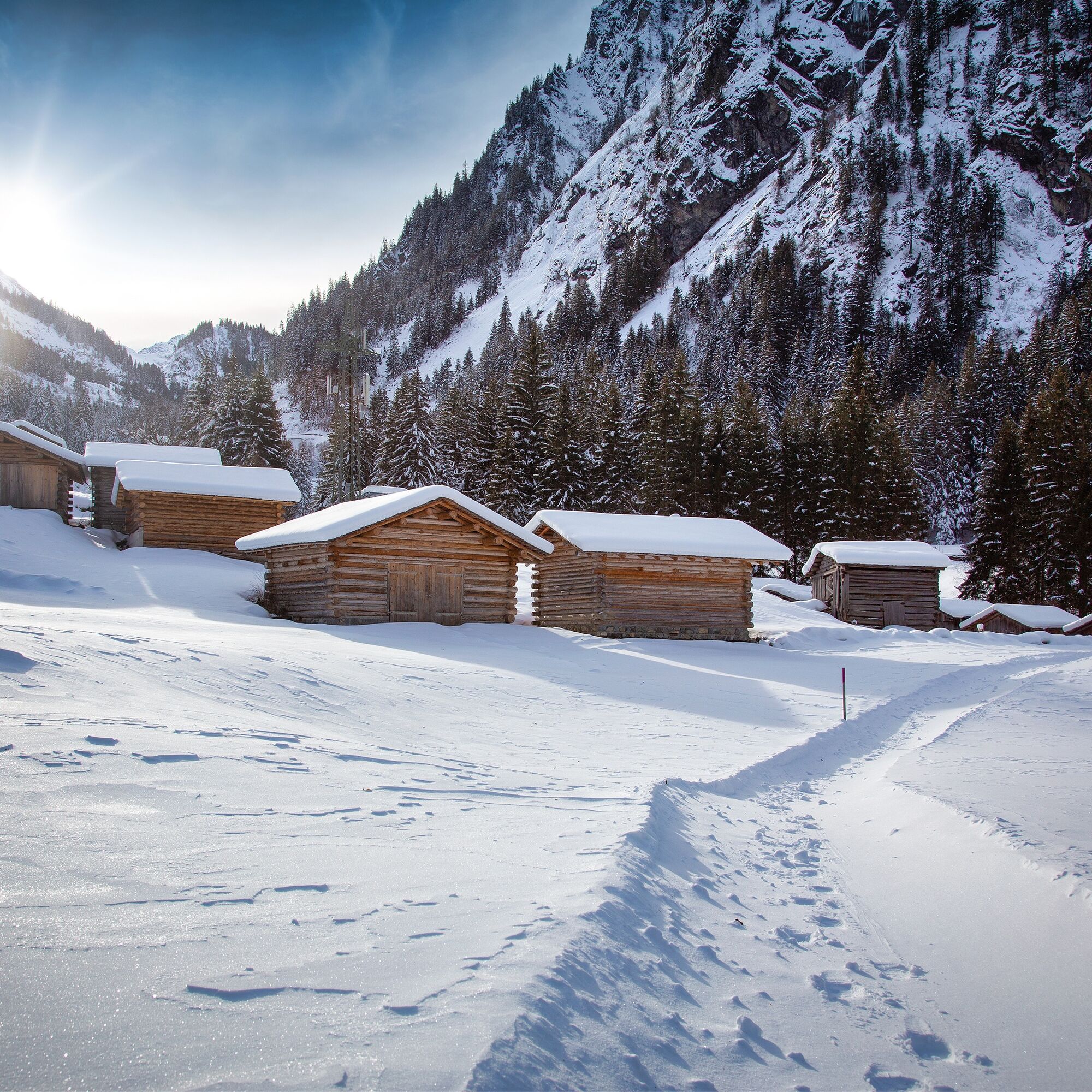
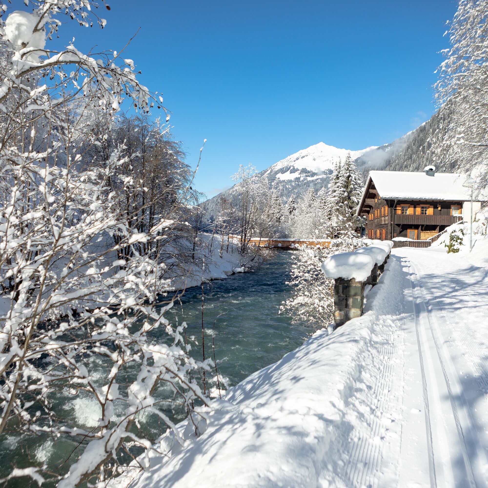

From the Gaschurn fire station we hike cross-country to the Rifabecken. The route then leads us alongside the cross-country ski track towards Innerbofa. Past the Europa staircase we reach the Vermunt plant. Next to the ski track, the path leads back to Gaschurn.
Sturdy footwear for snowshoes, careful planning, study avalanche report (www.vorarlberg.at/vorarlberg/sicherheit_inneres/sicherheit/landeswarnzentrale/weitereinformationen/lawinenwarndienst/ziel.htm), for avalanche emergency: avalanche transceiver, shovel and probe (standard),
European emergency number: 112 (works with any mobile/ network)
Drive on the A14 to the Bludenz/Montafon exit and continue on Montafonerstraße L188 to Gaschurn.
Just leave your car behind
The regional buses run throughout Montafon. The main lines run every half hour from Schruns train station.
Bus stop at the start/finish of the route: Gaschurn Versettlabahn / Line 650
Timetable: www.vmobil.at
Arrival by train to Montafon
From Bludenz train station the Montafon railway runs hourly (sometimes every half hour). There are also direct connections from Lindau (D) and Bregenz.
Timetable: www.oebb.at
Parking lots are available at the Versettla Bahn
Snowshoe hikes are endurance sports. Prior to the snowshoe season, train basic endurance in other endurance sports. The valuable stress stimuli for the heart and circulation require health and good self-assessment. Avoid time pressure and gradually increase the intensity and scope of your routes. Fluids, energy, and breaks are necessary to maintain performance and concentration. Hot, isotonic drinks are ideal thirst quenchers and warmers. Muesli bars, dried fruit, and cookies satisfy small hunger on the way.
Kamery internetowe z trasy
-
Galtür - Kopssee
-
Galtür - Kopssee
-
Galtür - Kopssee
-
Galtür - Kopssee
-
Galtür - Kopssee
-
Silvretta-Montafon - Nova Stoba
-
Breitspitzbahn
-
Breitspitzbahn
-
St.Gallenkirch - Pension Rudigier
-
Gortipohl - Gasthaus Muntafuner Stöbli
-
Gortipohl Landhaus Rudigier
-
Vermiel, Garfrescha
-
Silvretta-Montafon - Valisera Berg
-
Wohlfühlpension Garni Tirolerhof
Uzyskaj wgląd
Zawsze na żywo z ponad 9 500 kamer internetowych. bergfex Jako użytkownik Pro, możesz teraz zobaczyć odpowiednie kamery internetowe dla wielu wycieczek w aplikacji wycieczki od. Pozwala to na bezpośredni podgląd aktualnych warunków.
Popularne wycieczki w okolicy
-
4,7
Smuggler’s path
średniTrasa tematyczna 8,60 km -
4,9
Hiking trail Piz Buin - view
średniWędrówka 14,4 km -
4,7
Kristberg - Wasserstubental - Silbertal
światłoWędrówka 13,8 km -
4,5
Madrisella summit path
średniTrasa tematyczna 10,8 km -
4,8
Heilbronner lodge
średniWędrówka 13,0 km -
4,9
Alpgues Runde
średniWędrówka 9,21 km -
3,2
Bielerhöhe and circular hike around the Silvretta reservoir
średniWędrówka 13,1 km -
5,0
Menta Alm - Scheibenalm
światłoWędrówka 11,4 km -
4,8
Madrisella via ferrata
ciężkiVia ferrata 8,52 km -
4,6
Gargellner Window Path
średniTrasa tematyczna 7,21 km
Wędrówki i tropienie


Nie przegap ofert i inspiracji na następne wakacje
Twój adres e-mail została dodana do listy mailingowej.





