







Bartholomäberg via Neyers-Legi to the historic mine
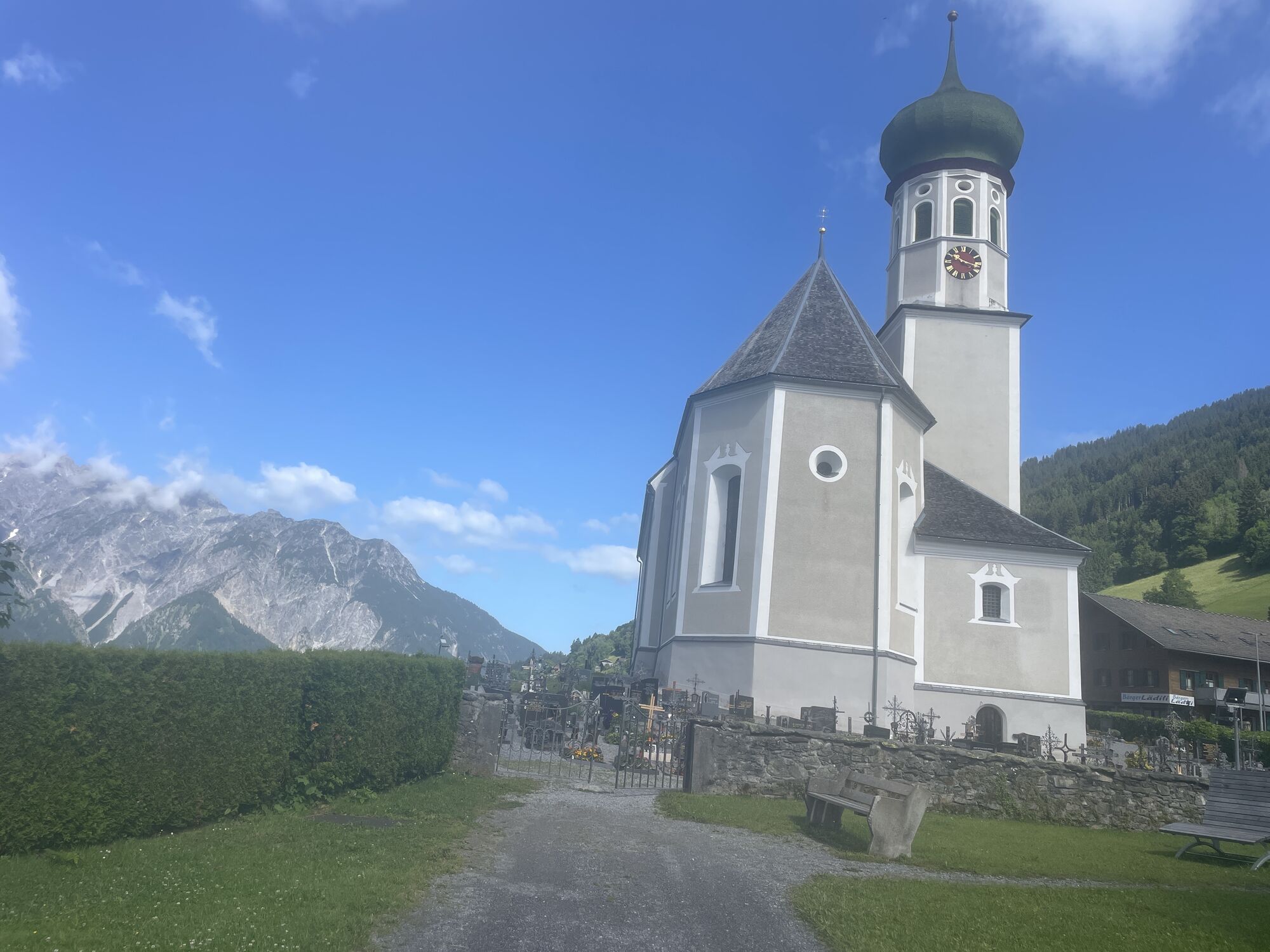


The start of this route is the Baroque church at Bartholomäberg. From here, an ascent begins immediately for you on the sunny balcony of the Montafon. The path steadily climbs right from the start. Don't...
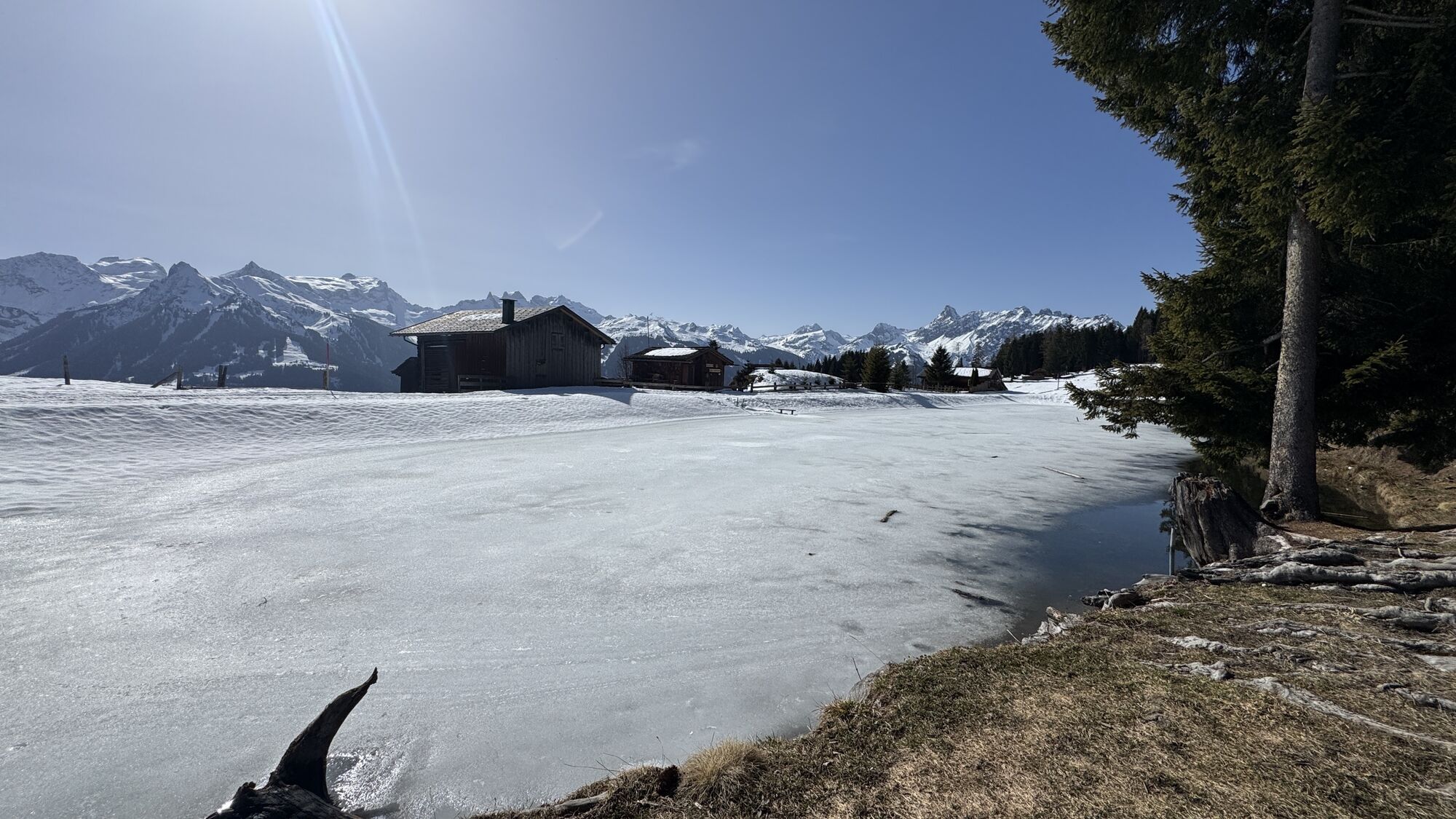
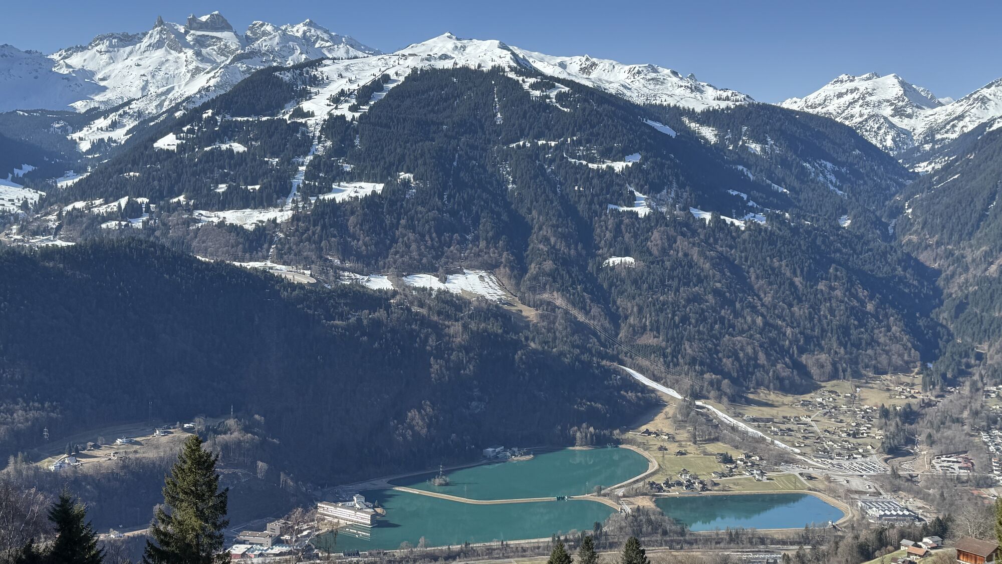
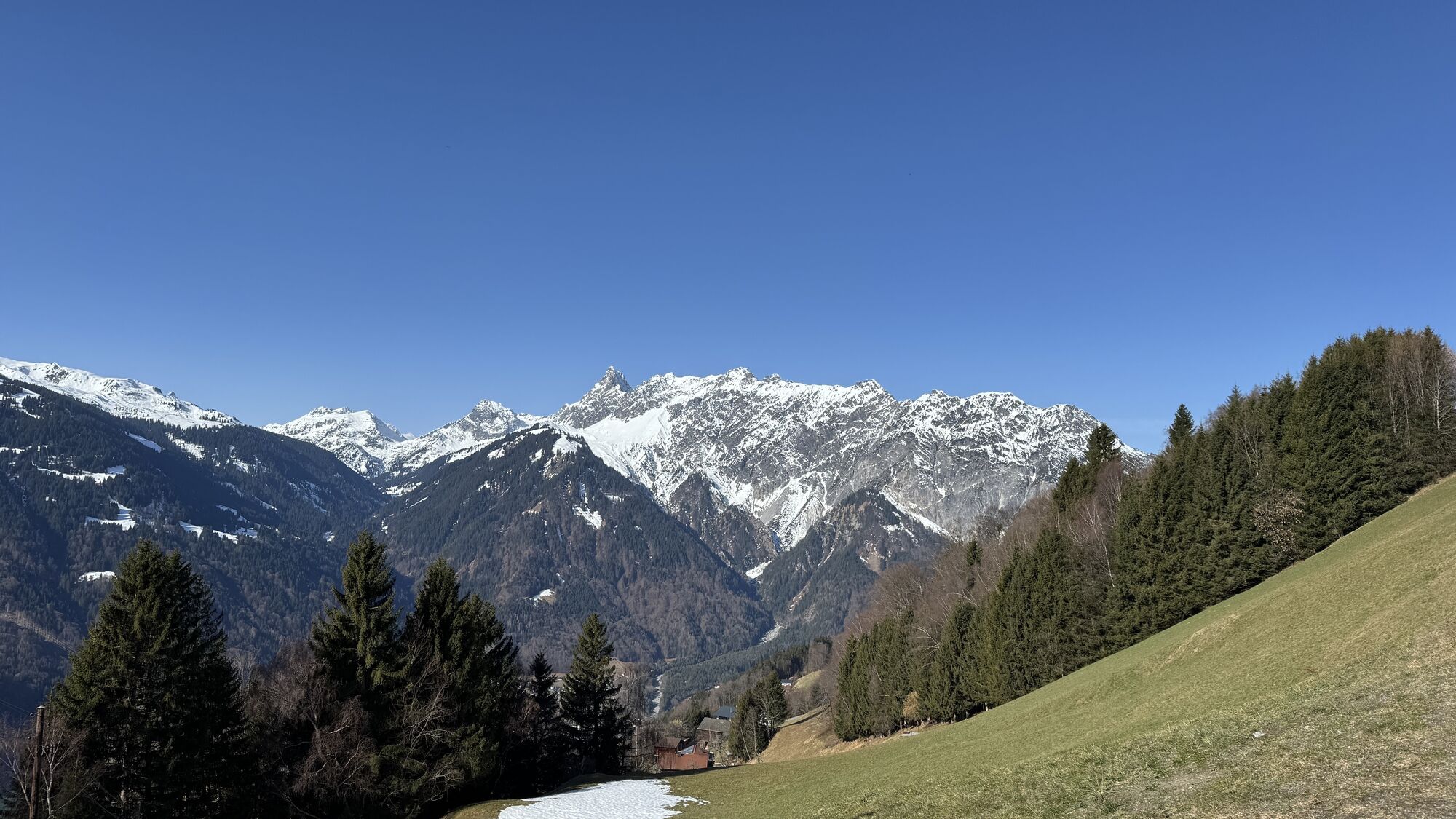
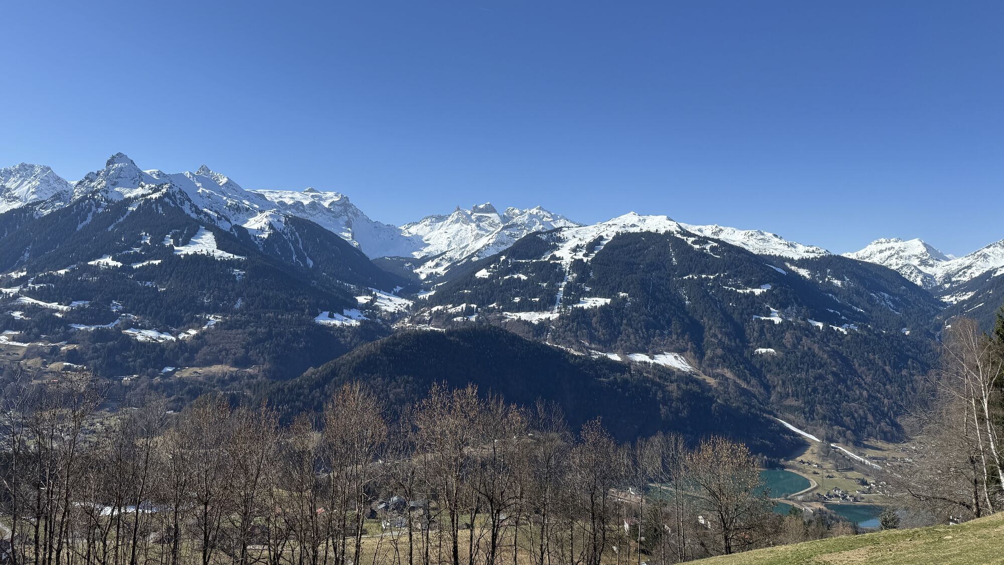
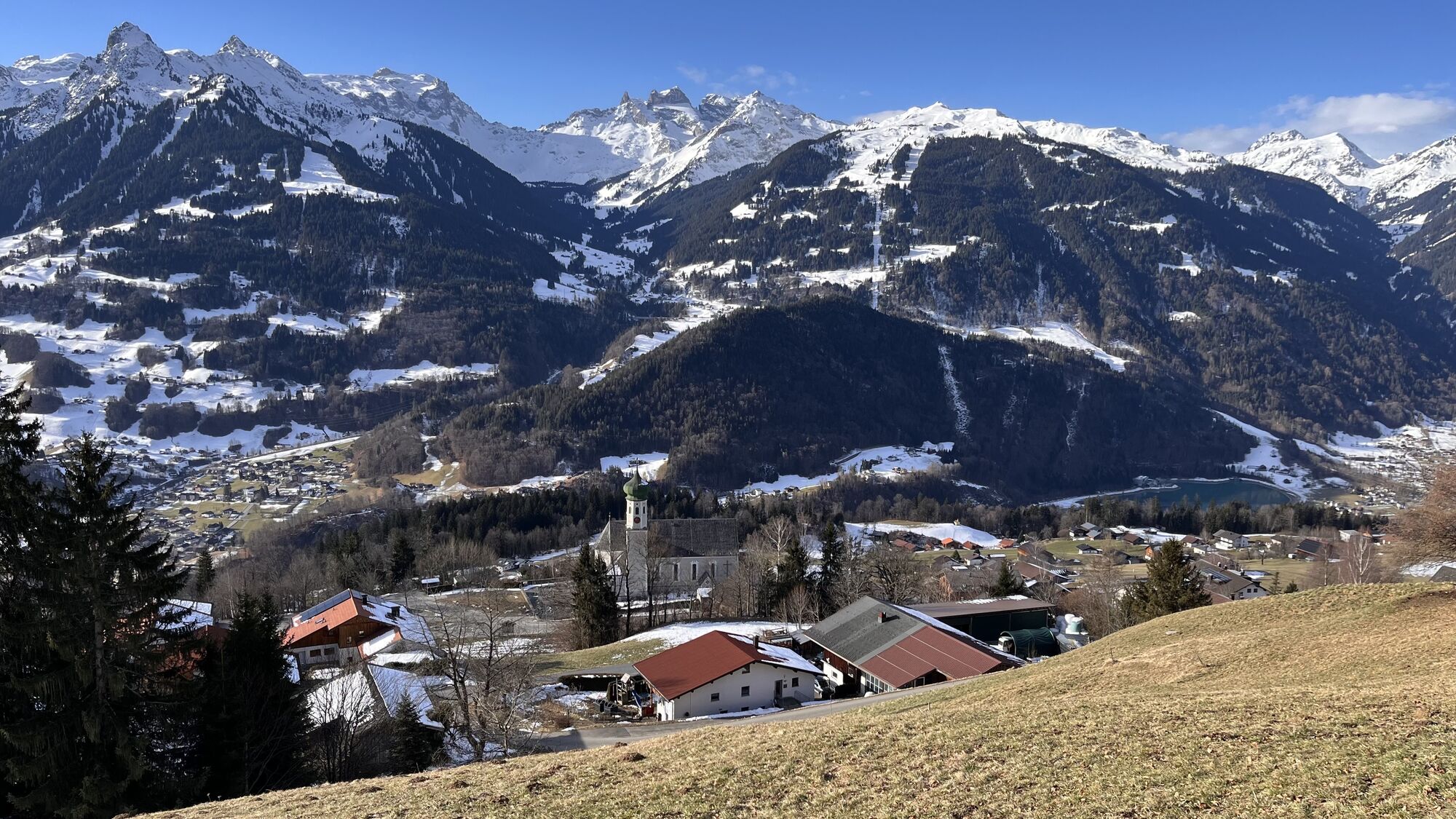
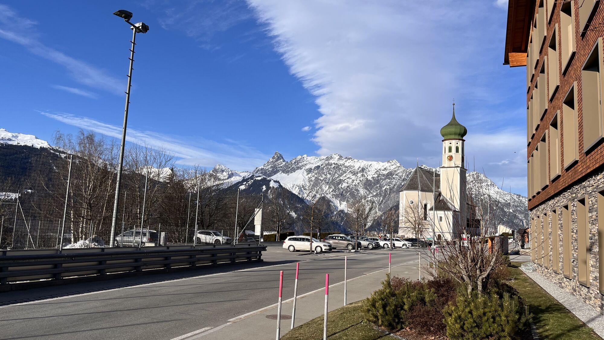
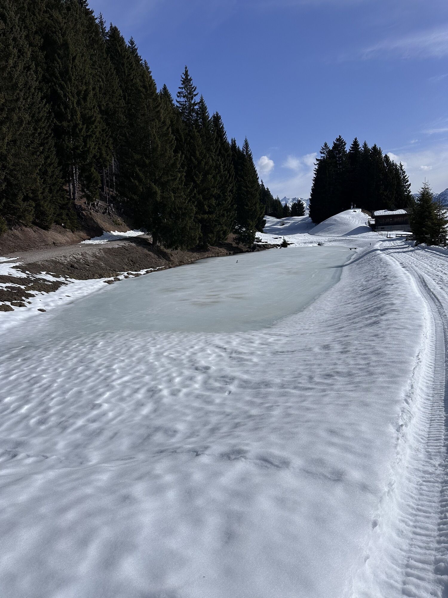
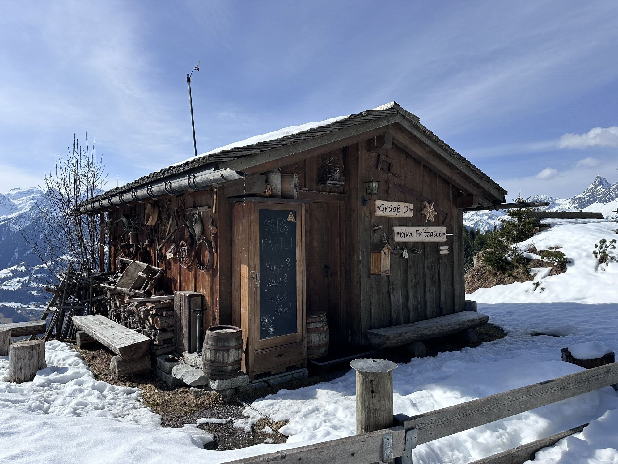
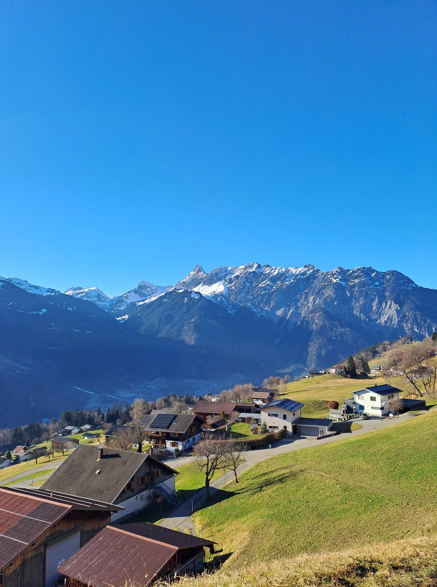
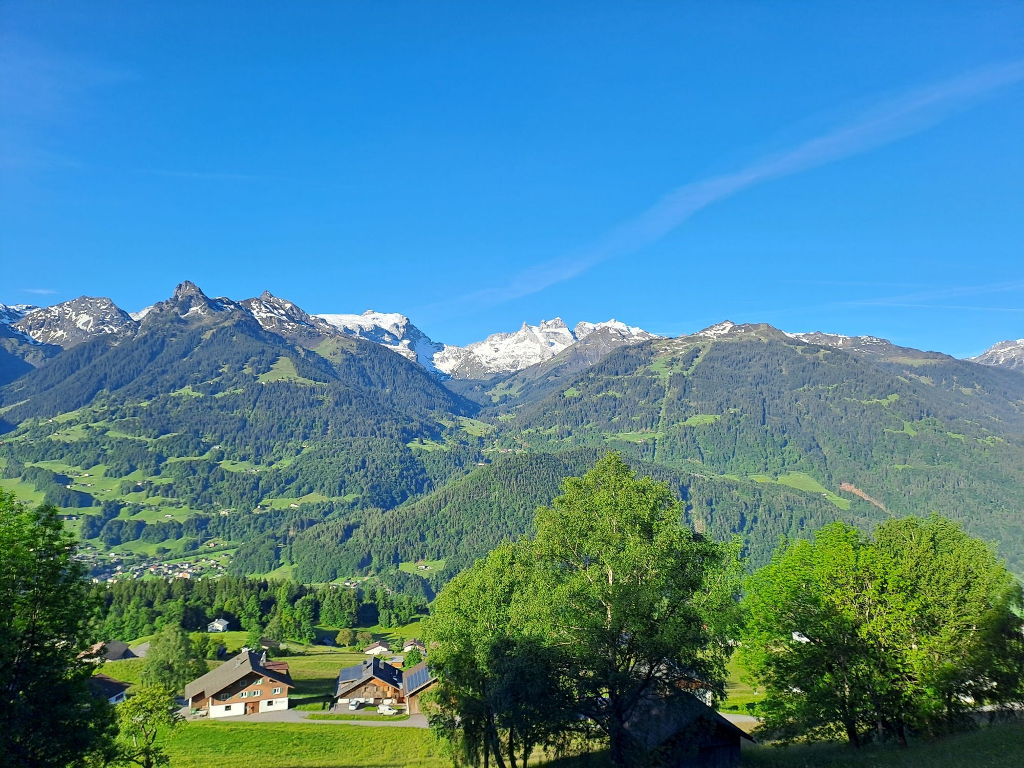
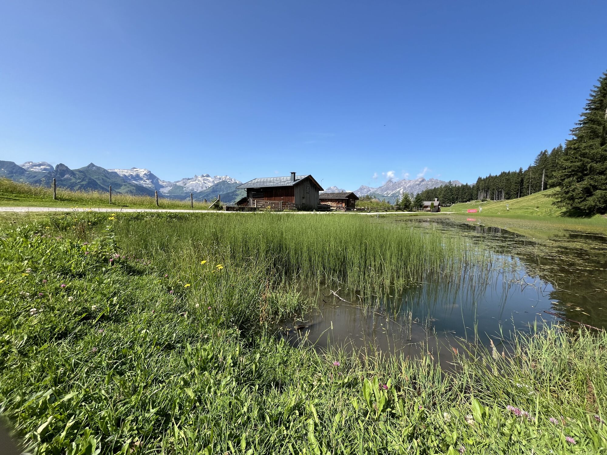
The start of this route is the Baroque church at Bartholomäberg. From here, an ascent begins immediately for you on the sunny balcony of the Montafon. The path steadily climbs right from the start. Don't miss the chance to let your gaze wander towards the valley or the Rätikon range again and again. It's worth it. You would miss an amazing view. High above the rooftops of Schruns, you have the opportunity to see far into the valley. On the opposite side of the valley towers the mighty Rätikon. The impressive peaks of this mountain range invite you to dream. The Drei Türme as well as Drusenfluh, Sulzfluh, and Zimba are probably the best-known peaks of this range. The picturesque landscape in which you move should also not be left unmentioned. The Fritzensee can be considered the scenic highlight of this route, presenting its beauty in every season and often used as a place to take a break.
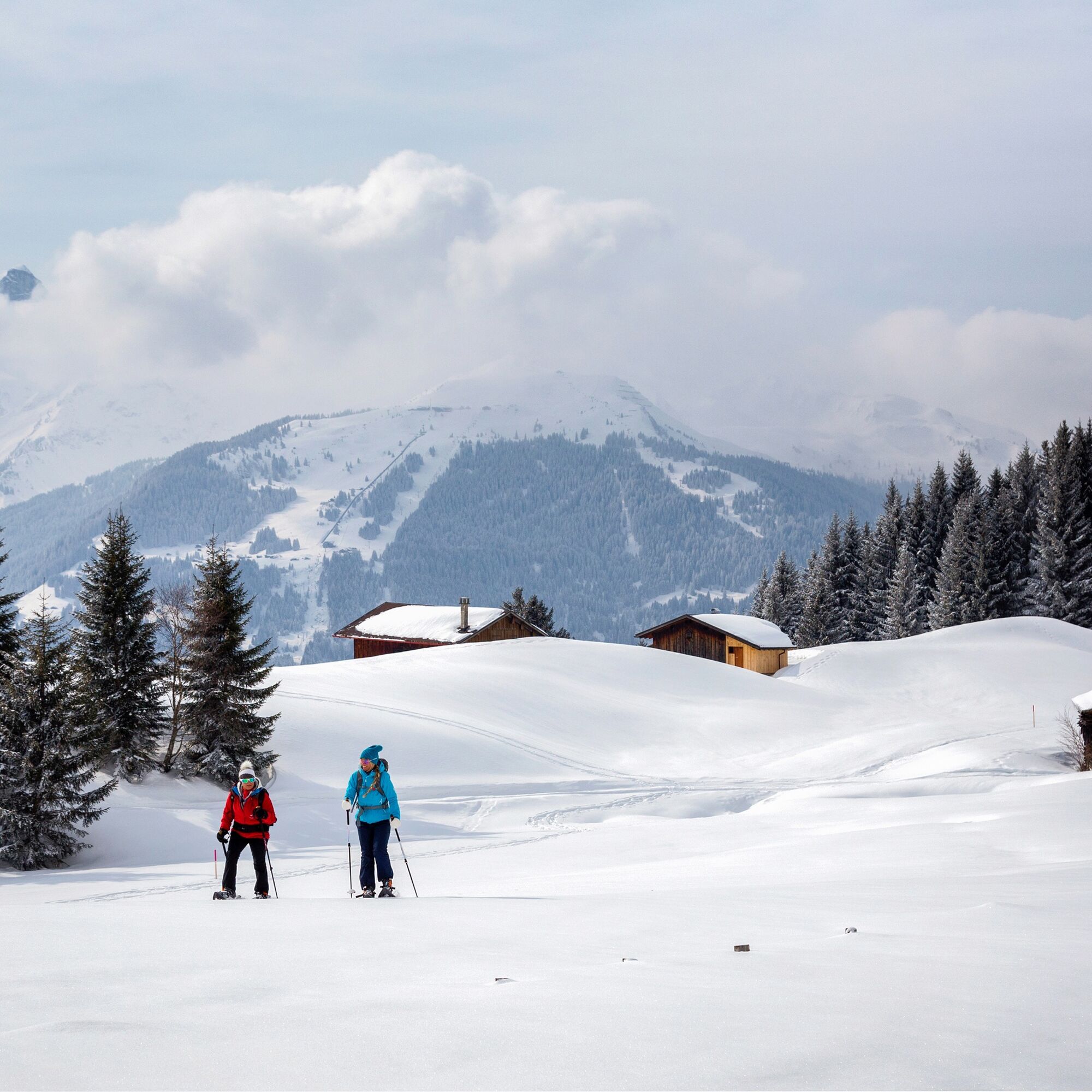
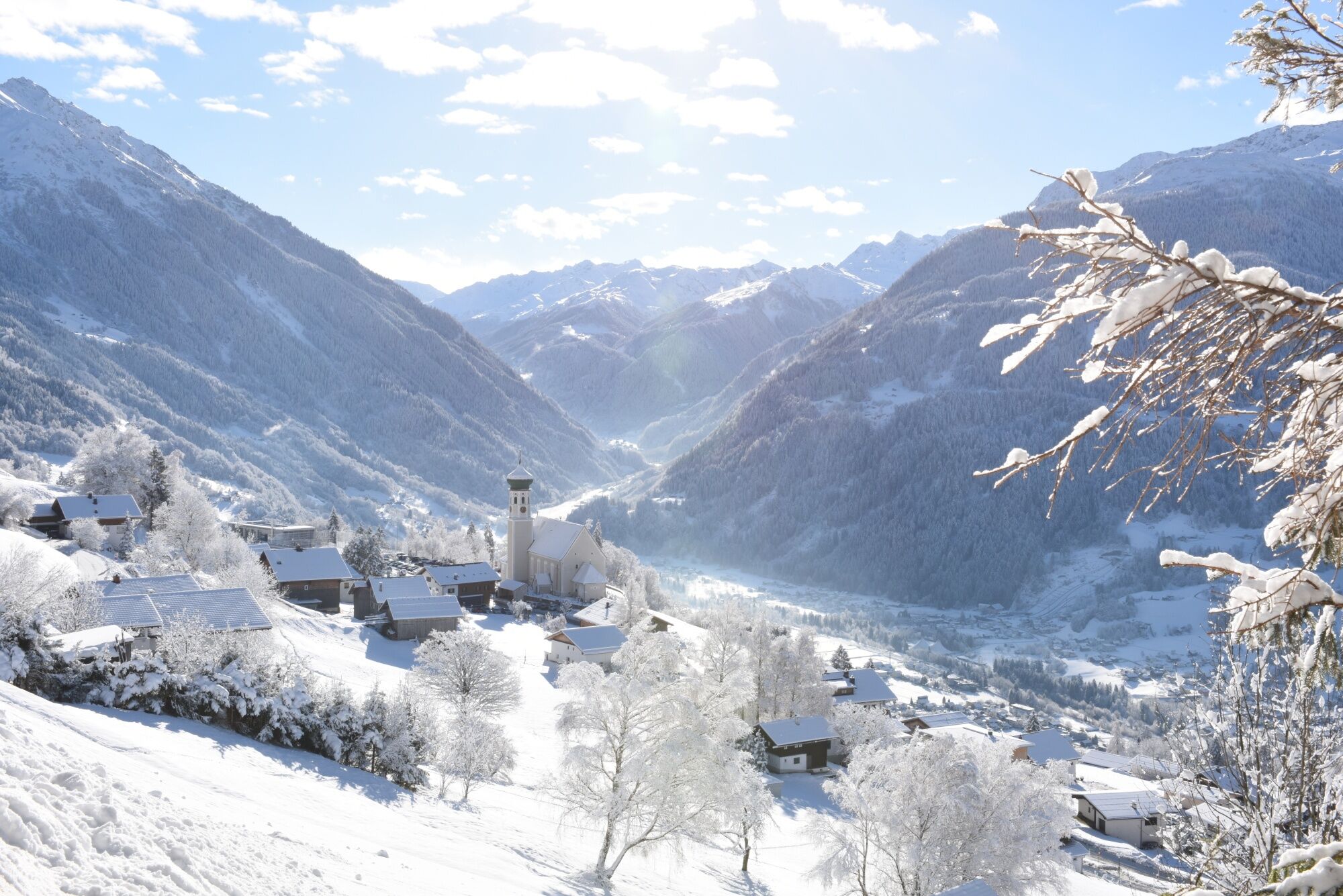
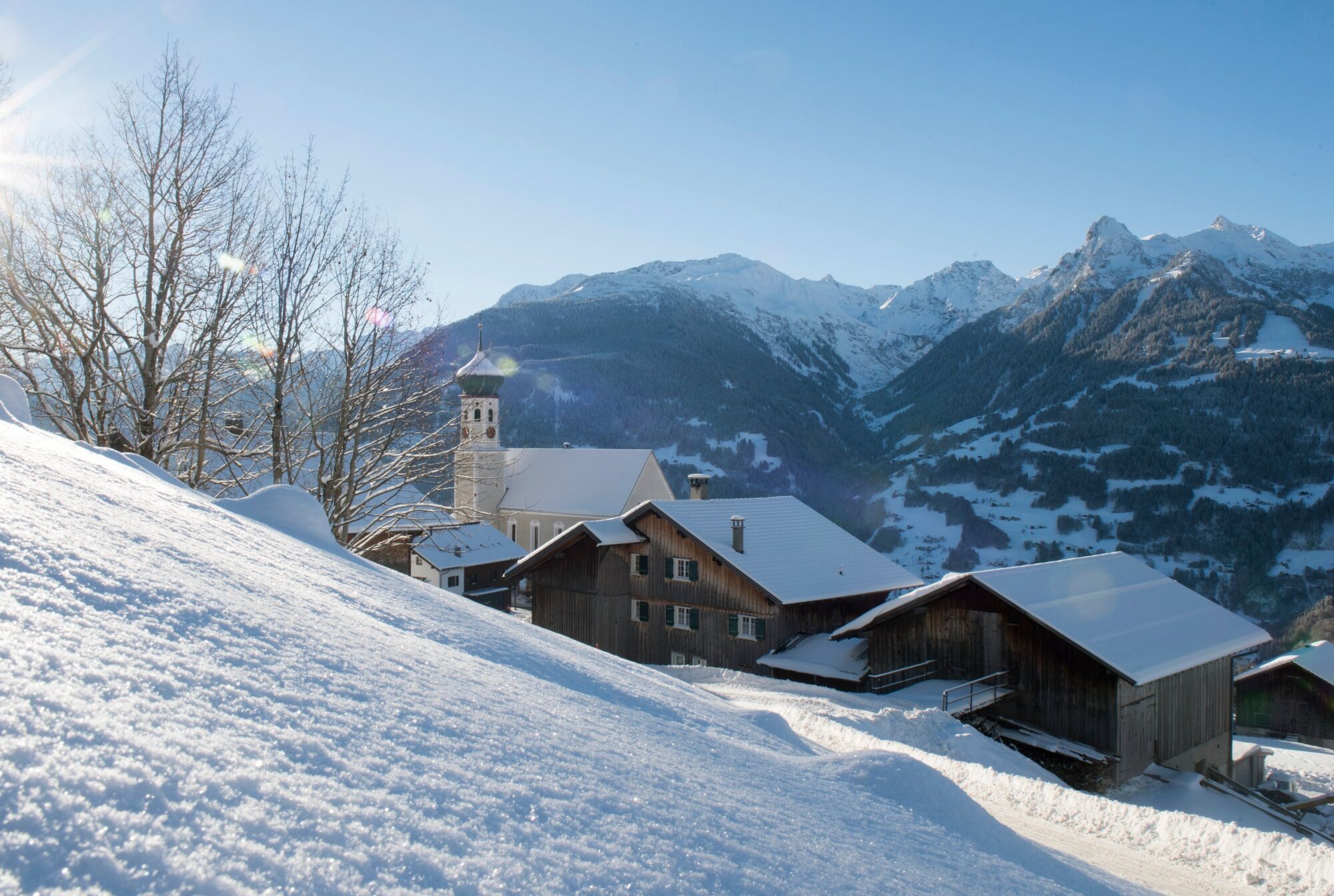
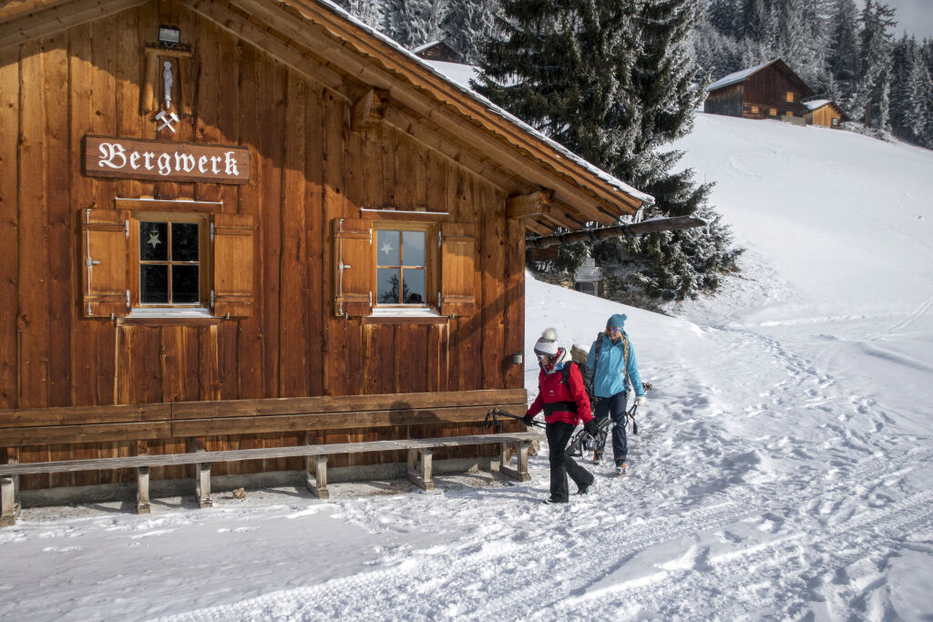
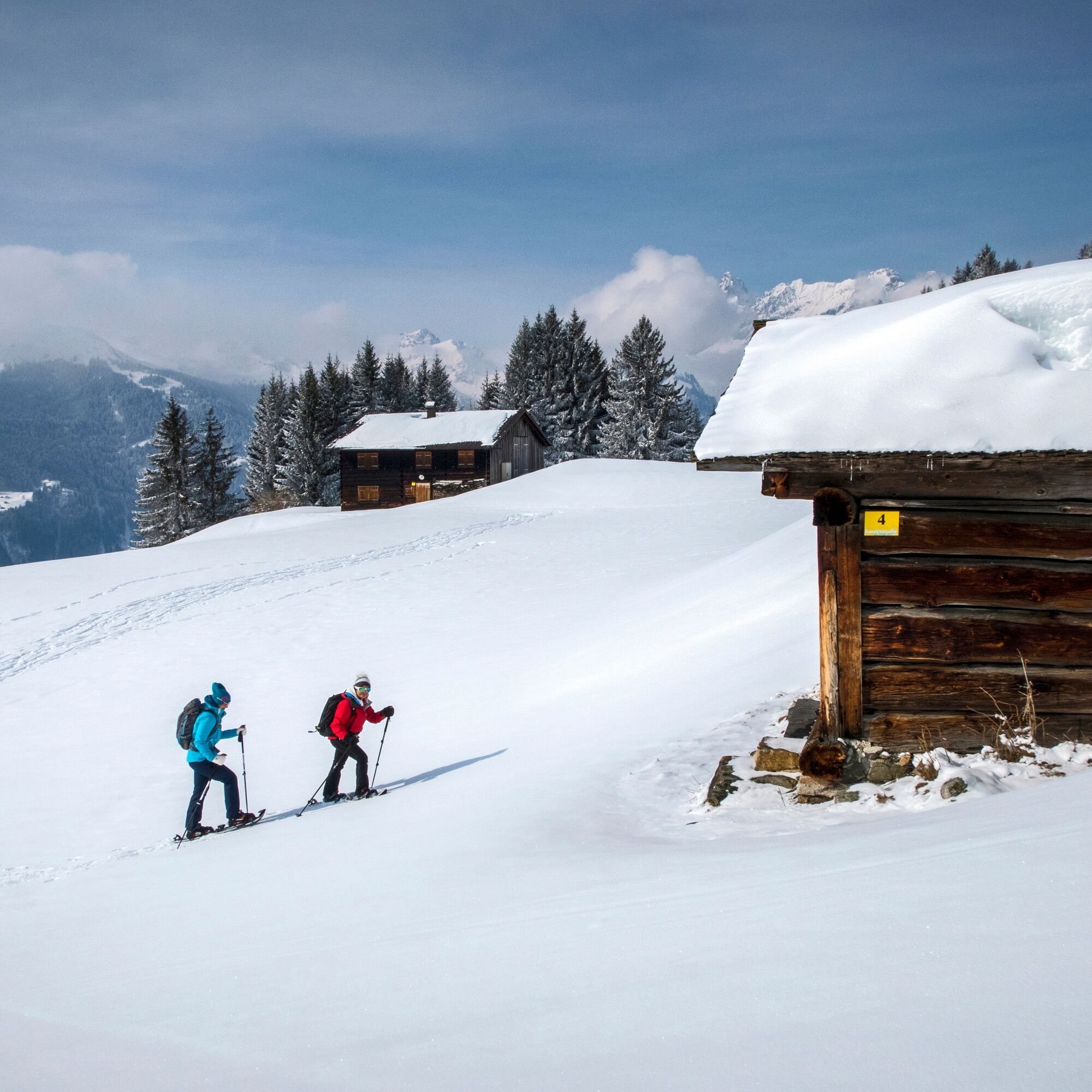
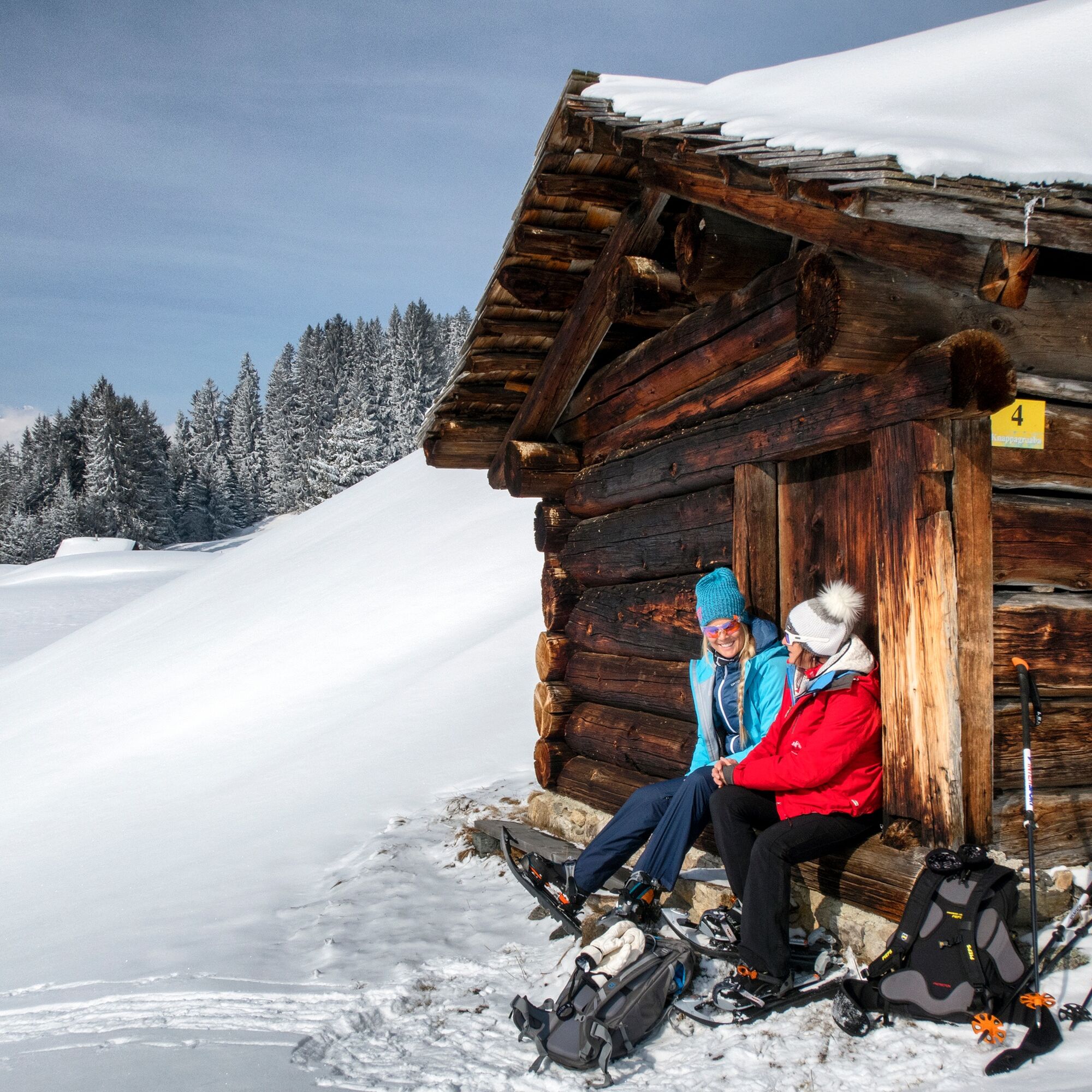
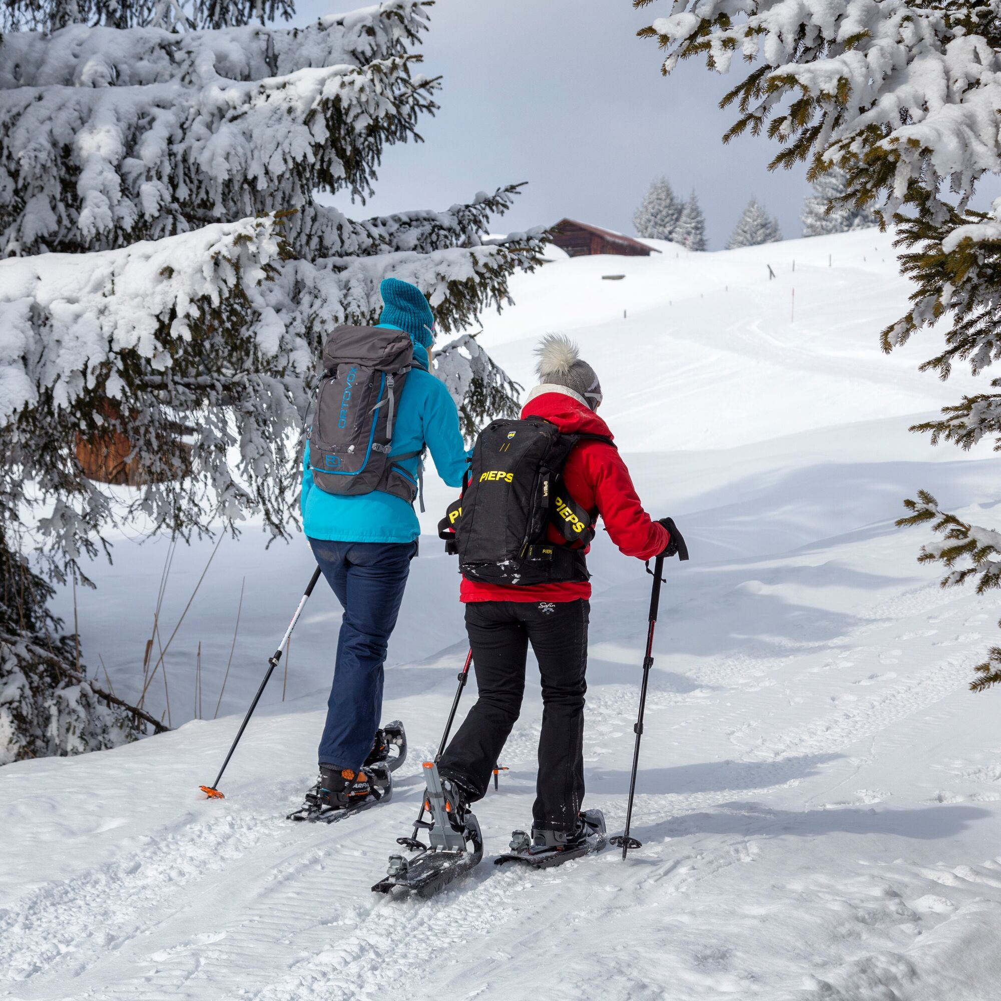

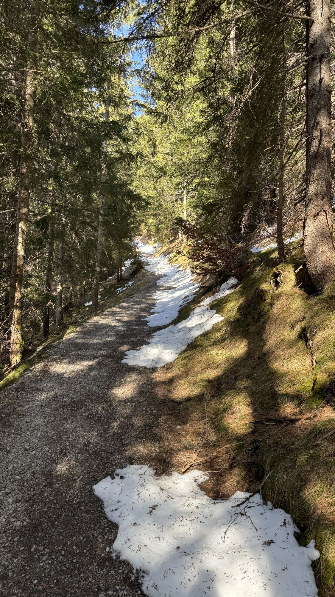
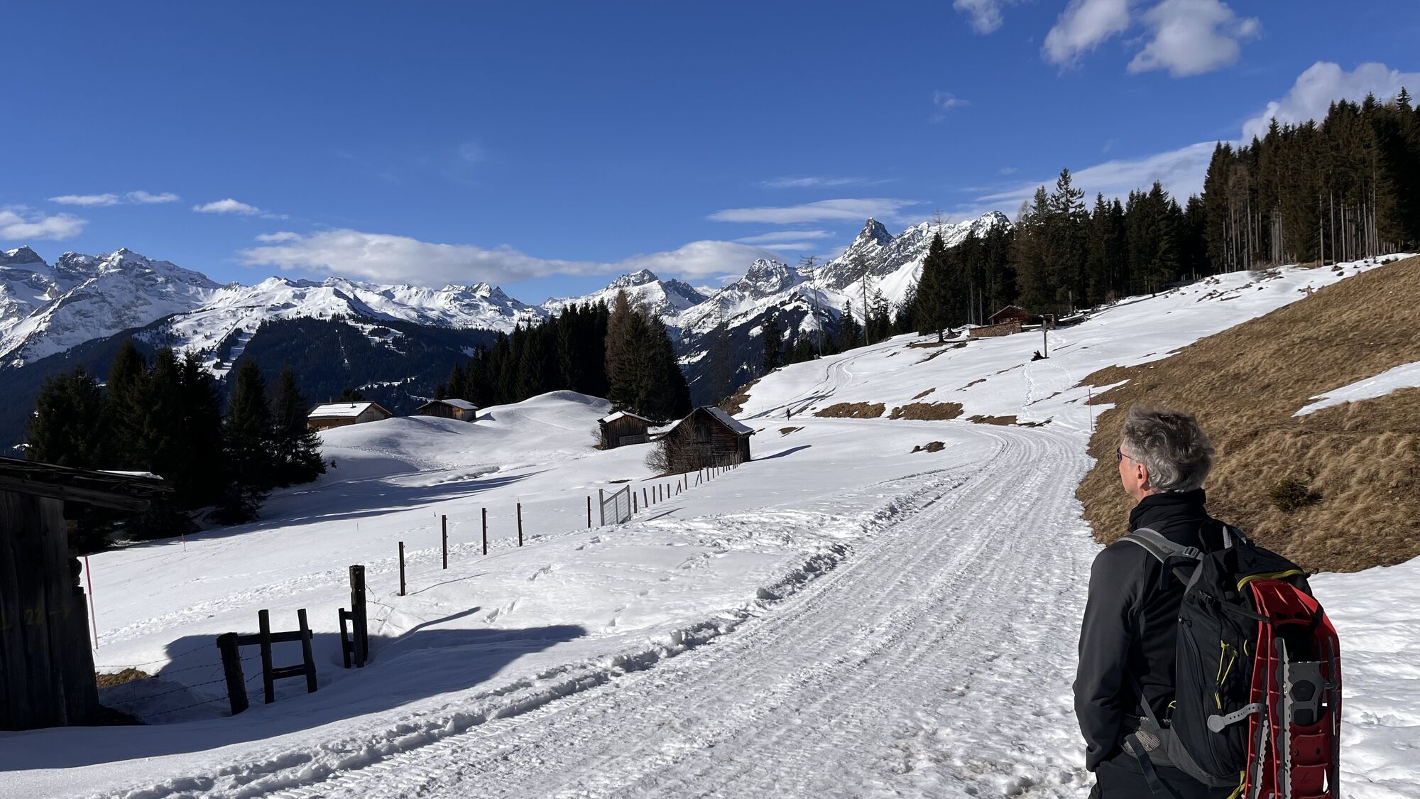
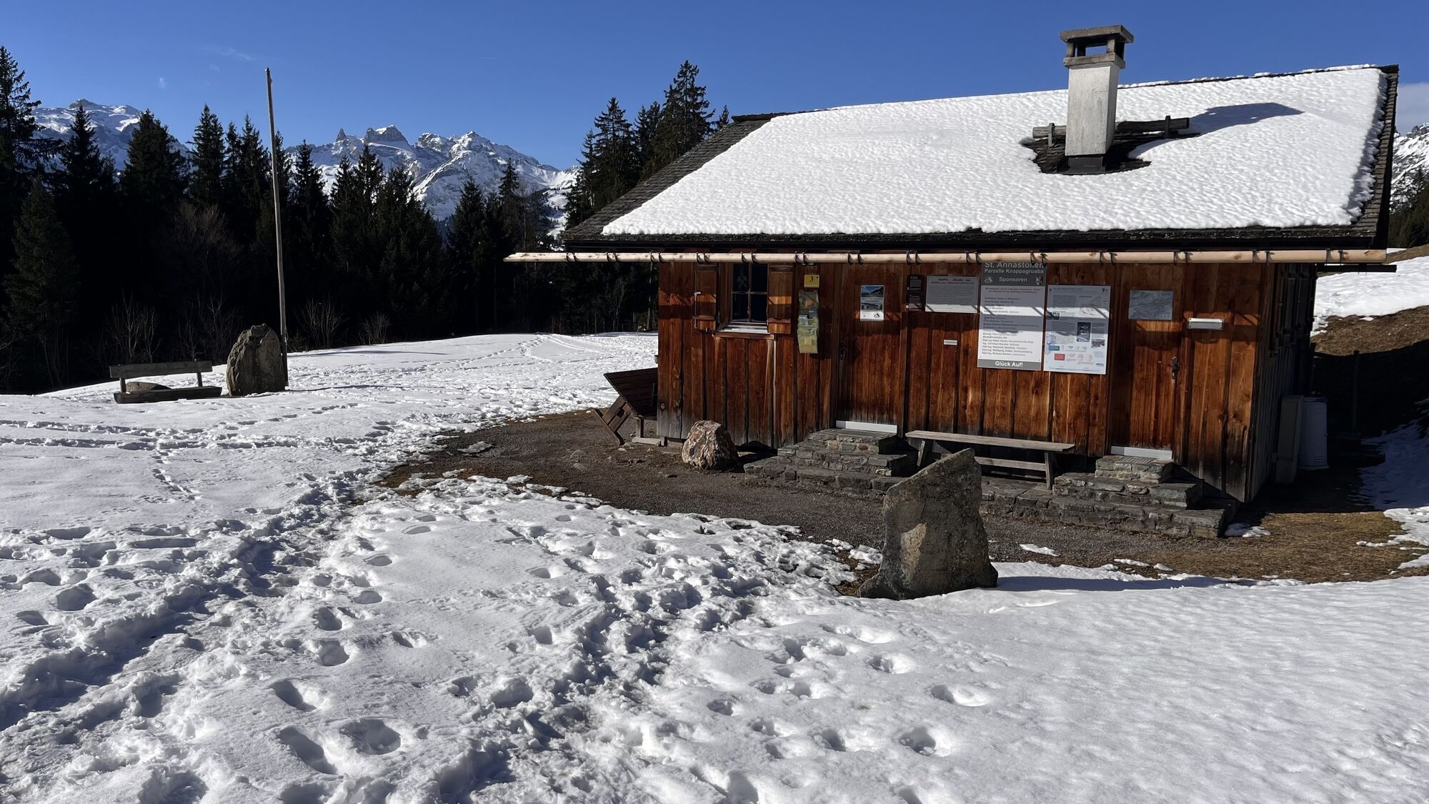
Once the snowshoes are fitted, the easy snowshoe hike starts from the Baroque church Bartholomäberg. The route takes you along the Lindaweg uphill to the Neyer-Legi junction. Following this path, you reach the highest point of the route, the Säler-Legi. The reward is a wonderful panoramic view. Now it gently goes downhill via Fritza-Legi and Knappagruaba back to the starting point at the Baroque church Bartholomäberg.
Snowshoes, telescopic poles with large baskets, avalanche equipment with transceiver, avalanche probe and shovel, day hiking backpack (approx. 30 liters) with rain cover, possibly with avalanche airbag, comfortable and waterproof winter boots or sturdy hiking boots that fit the snowshoe bindings, gaiters if necessary, warm and durable clothing in a multilayer principle, ski jacket and pants, hat/headband, scarf, gloves, ski goggles if necessary, sun and rain protection, provisions and drinking water, thermos with hot drink, first aid kit, pocket knife, mobile phone, headlamp and reflectors if necessary, map material, bivouac sack and rescue blanket
Emergency call: 144
Euro emergency call: 112 (works with any mobile phone/network)
www.vorarlberg.travel/sicherheitstipps
Avalanche report:
The snowshoe routes are in open terrain. Use at your own risk.
Take the A14 to the Bludenz/Montafon exit and continue on the Montafonerstraße L188 to St. Anton im Montafon. In St. Anton im Montafon, turn left at the height of the station and follow the signs to Bartholomäberg.
Just leave your car behind
Regional buses operate throughout the Montafon. The main lines run every half hour from Schruns station.
Bus stop at the start/finish of the route: Bartholomäberg Church / Line 640
Timetable: www.vmobil.at
Arrival by train to the Montafon
From Bludenz station the Montafon railway runs hourly (partly every half hour). There are also direct connections from Lindau (D) and Bregenz.
Timetable: www.oebb.at
Opposite the Baroque church Bartholomäberg
Pack a snack as well as warm drinks in a thermos and use the picturesque setting of Lake Fritzen to refill your energy reserves.


Kamery internetowe z trasy
-
Hochjoch Bahn Bergstation
-
Matschwitz Mittelstation
-
Innerberg
-
Golm - Matschwitz
-
Bartholomäberg
-
Tschagguns
-
Schruns
-
Bartholomäberg - Ferienhotel Fernblick
-
Kapellbahn
-
Schlepplift Innerbach
-
Bartholomäberg - Ferienhotel Fernblick
-
Bartholomäberg - Ferienhotel Fernblick
-
Bartholomäberg - Ferienhotel Fernblick
Uzyskaj wgląd
Zawsze na żywo z ponad 9 500 kamer internetowych. bergfex Jako użytkownik Pro, możesz teraz zobaczyć odpowiednie kamery internetowe dla wielu wycieczek w aplikacji wycieczki od. Pozwala to na bezpośredni podgląd aktualnych warunków.

Popularne wycieczki w okolicy
-
5,0
Ski tour to the Lindauer Hut (1,744 m)
światłoWycieczka narciarska 14,0 km -
5,0
Bürs, Bürserschlucht Bürs, Vorarlberg
średniWędrówka 5,31 km -
4,4
Golm-Rundwanderweg im Rätikon
średniTrasa tematyczna 7,28 km -
4,9
Douglasshütte, Lünersee, Gafalljoch Brand bei Bludenz, Vorarlberg
światłoWędrówka 9,16 km -
4,6
Over the historic mine and Fritzensee to Rellseck
średniWędrówka 7,25 km -
4,3
Golmerbahn Bergstaion Grüneck - Golmer Höhenweg - Geißspitze - Lindauer Hütte - Latschau
średniWędrówka 11,5 km -
4,7
Kristberg - Wasserstubental - Silbertal
światłoWędrówka 13,8 km -
4,2
Mondspitze (Montspitze)
średniWędrówka 7,97 km -
4,8
Douglashütte - Schesaplana
średniWędrówka 7,31 km -
4,9
Alpgues Runde
średniWędrówka 9,21 km
Wędrówki i tropienie


Nie przegap ofert i inspiracji na następne wakacje
Twój adres e-mail została dodana do listy mailingowej.





