







Sonnenbalkon Tour Bartholomäberg - Silbertal
Poziom trudności: 1
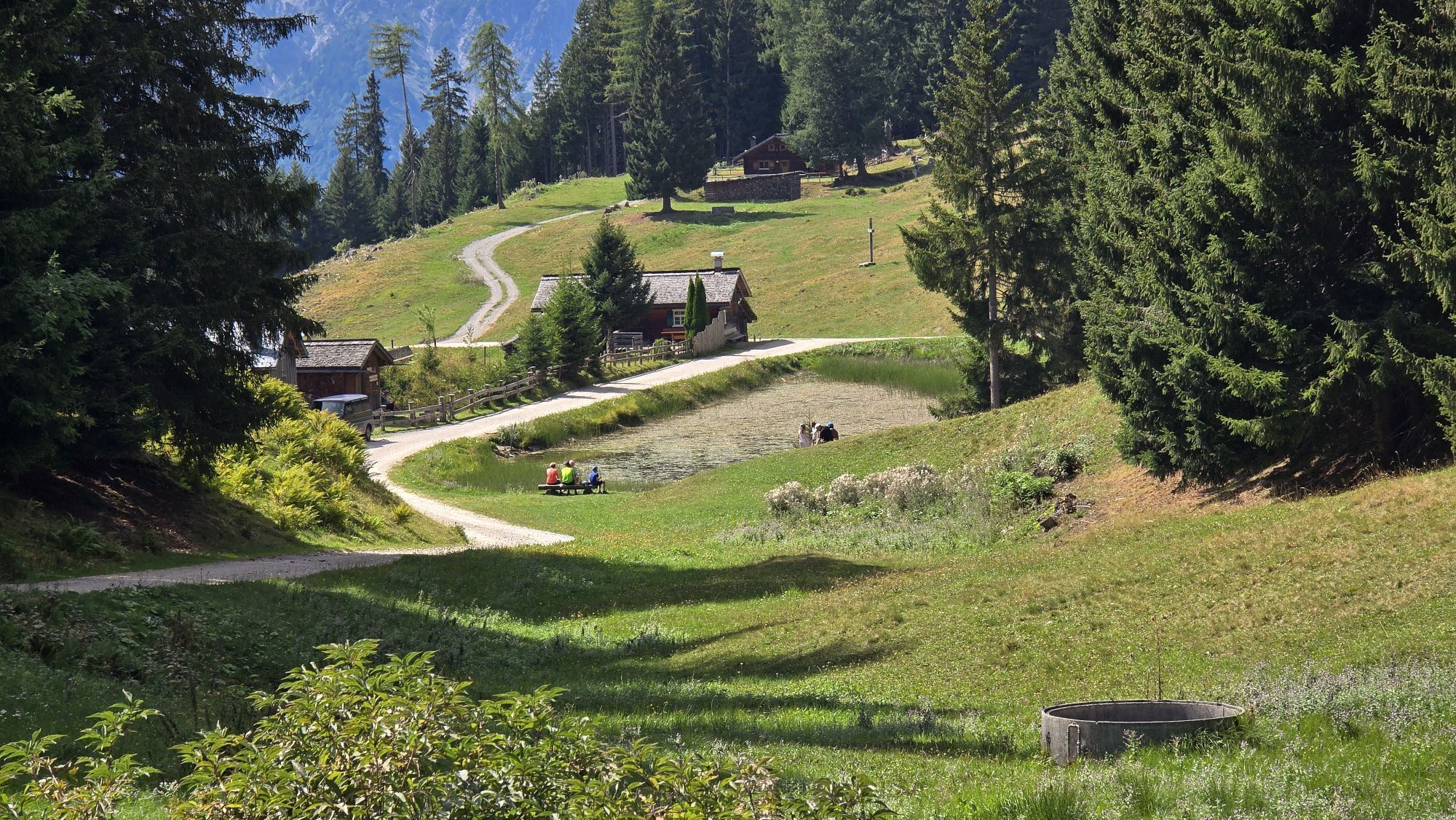
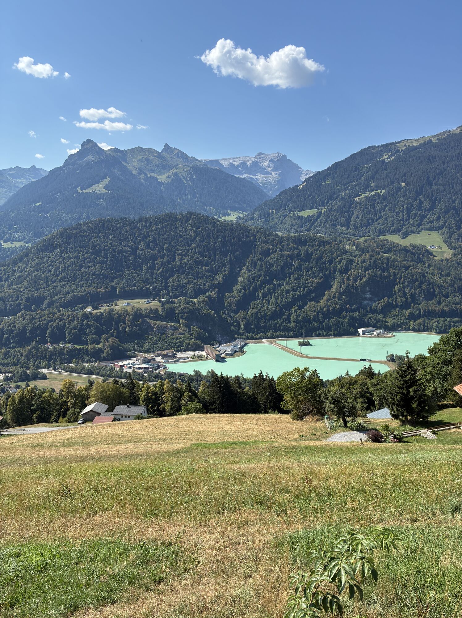
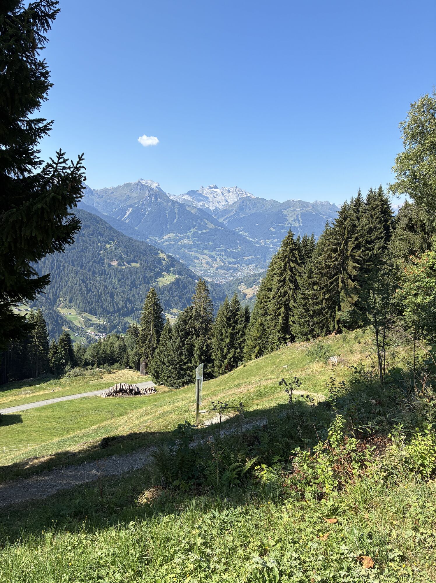
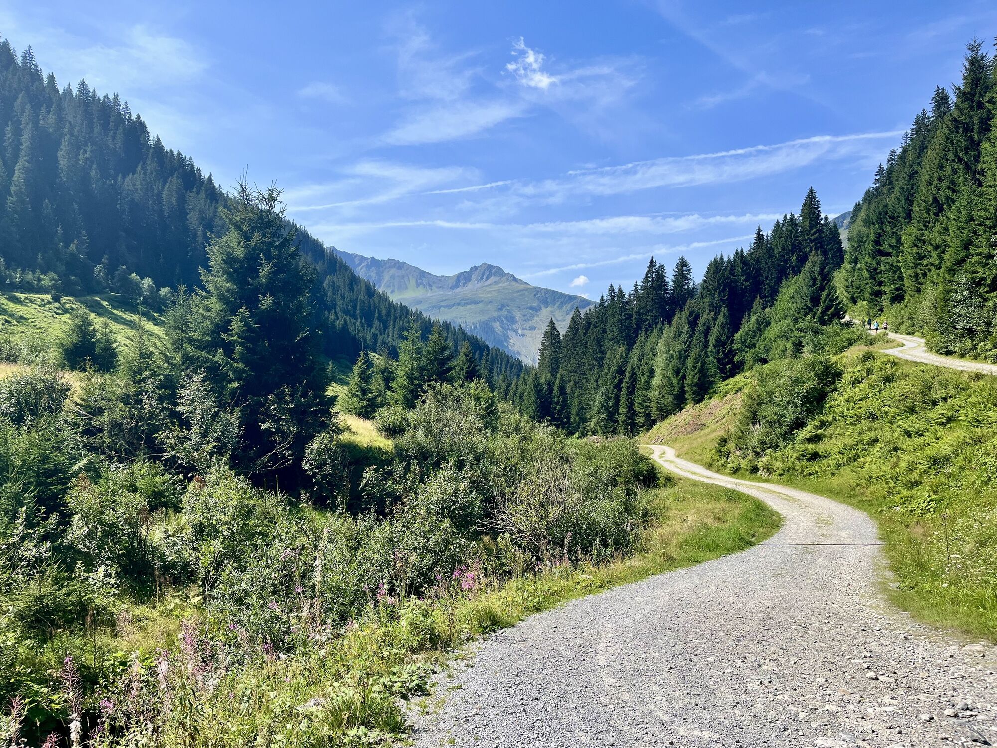
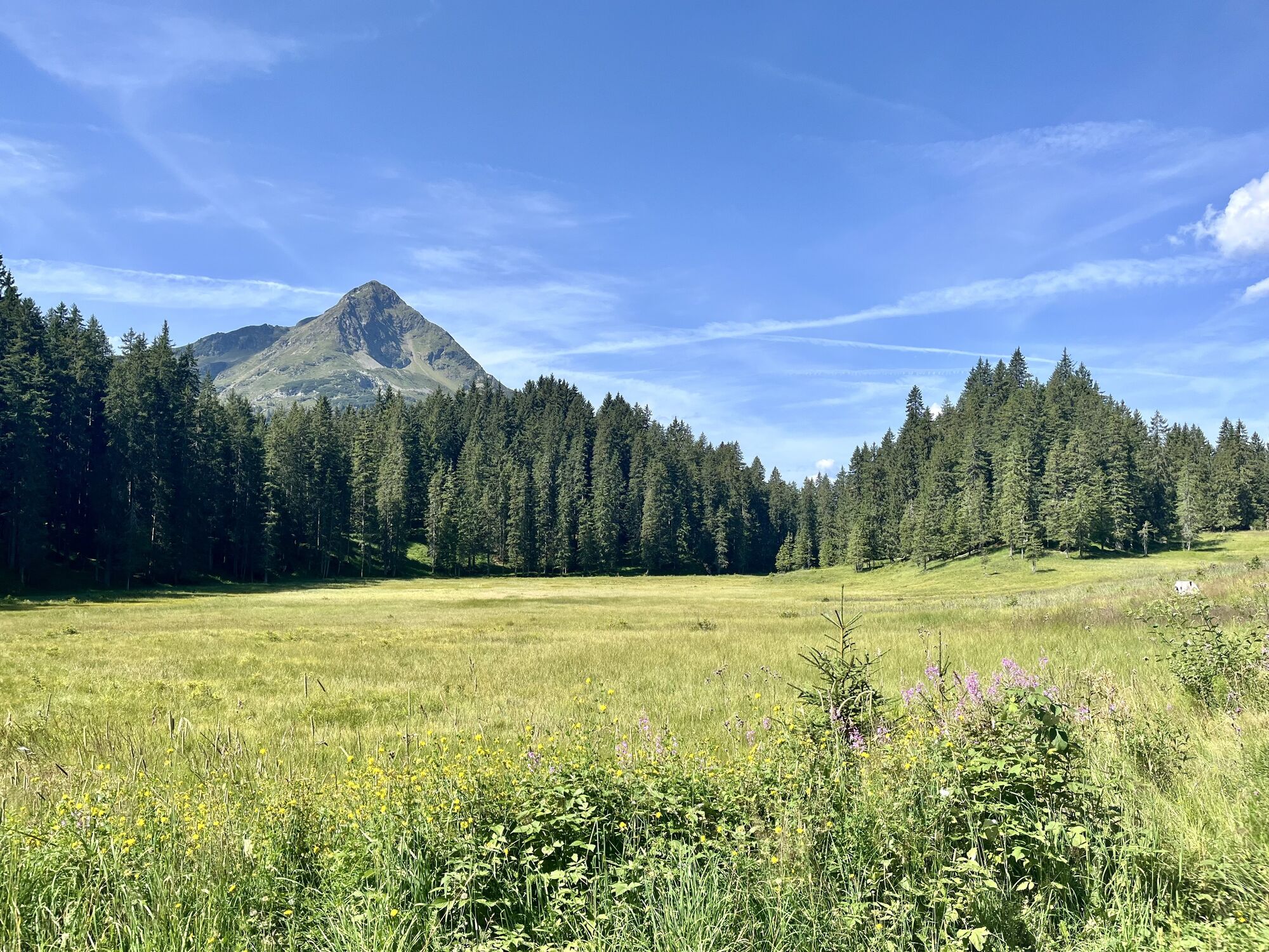
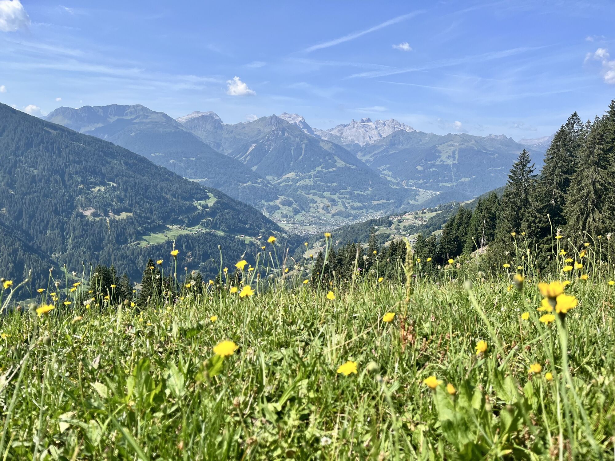
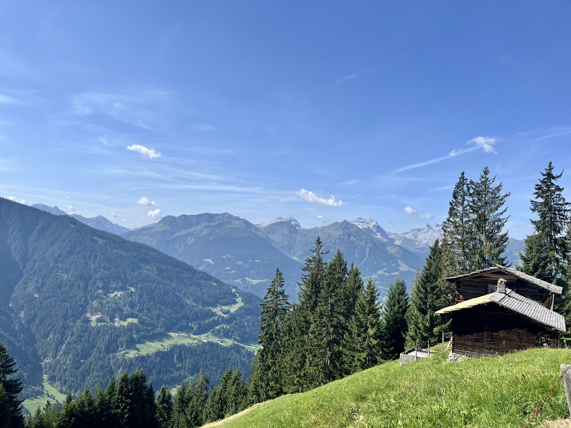
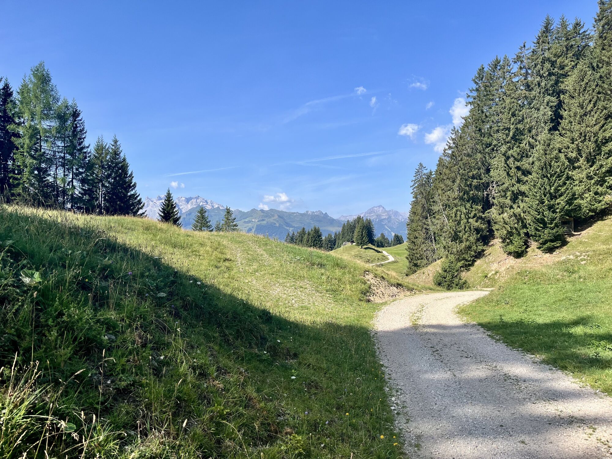
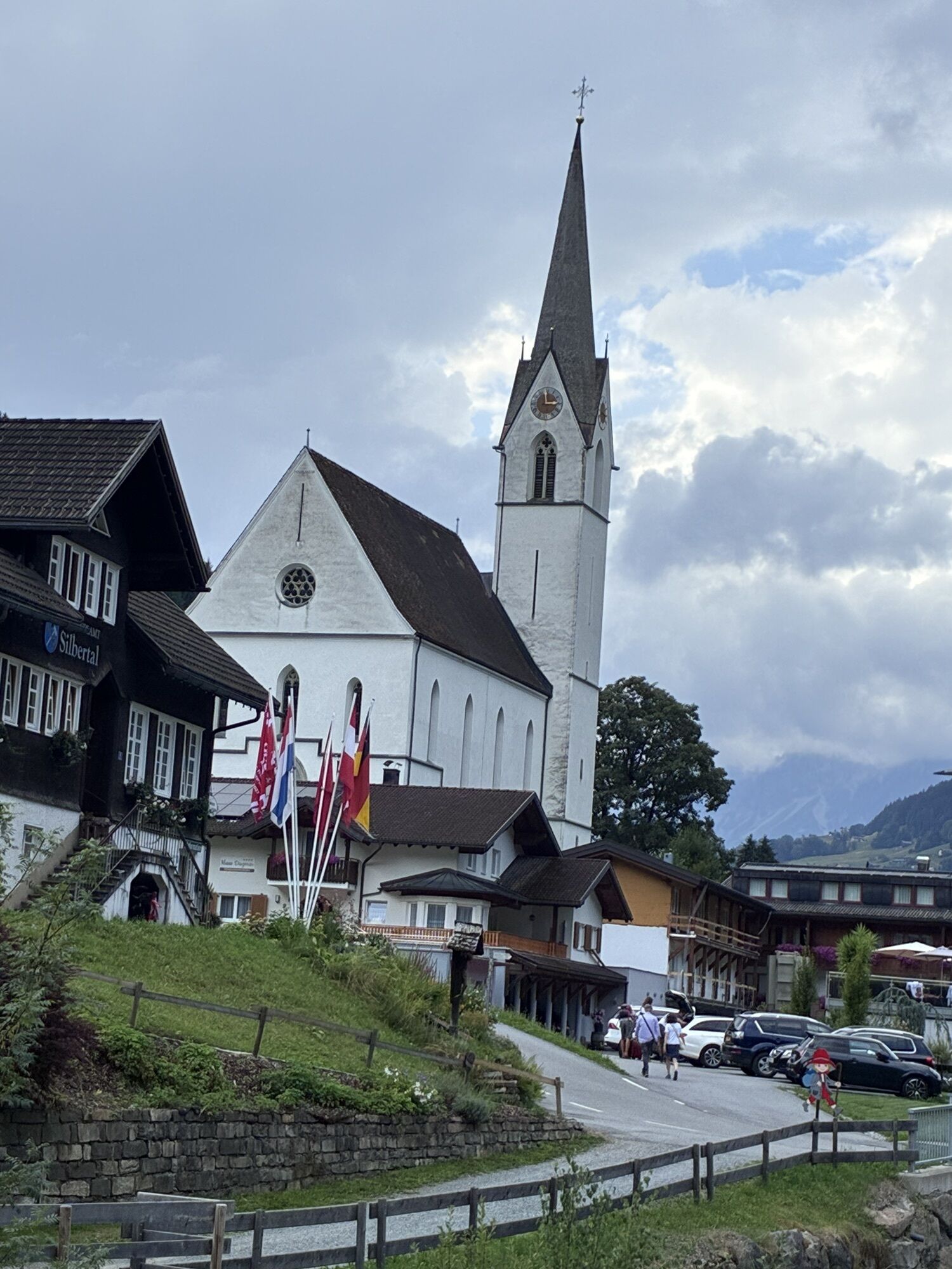
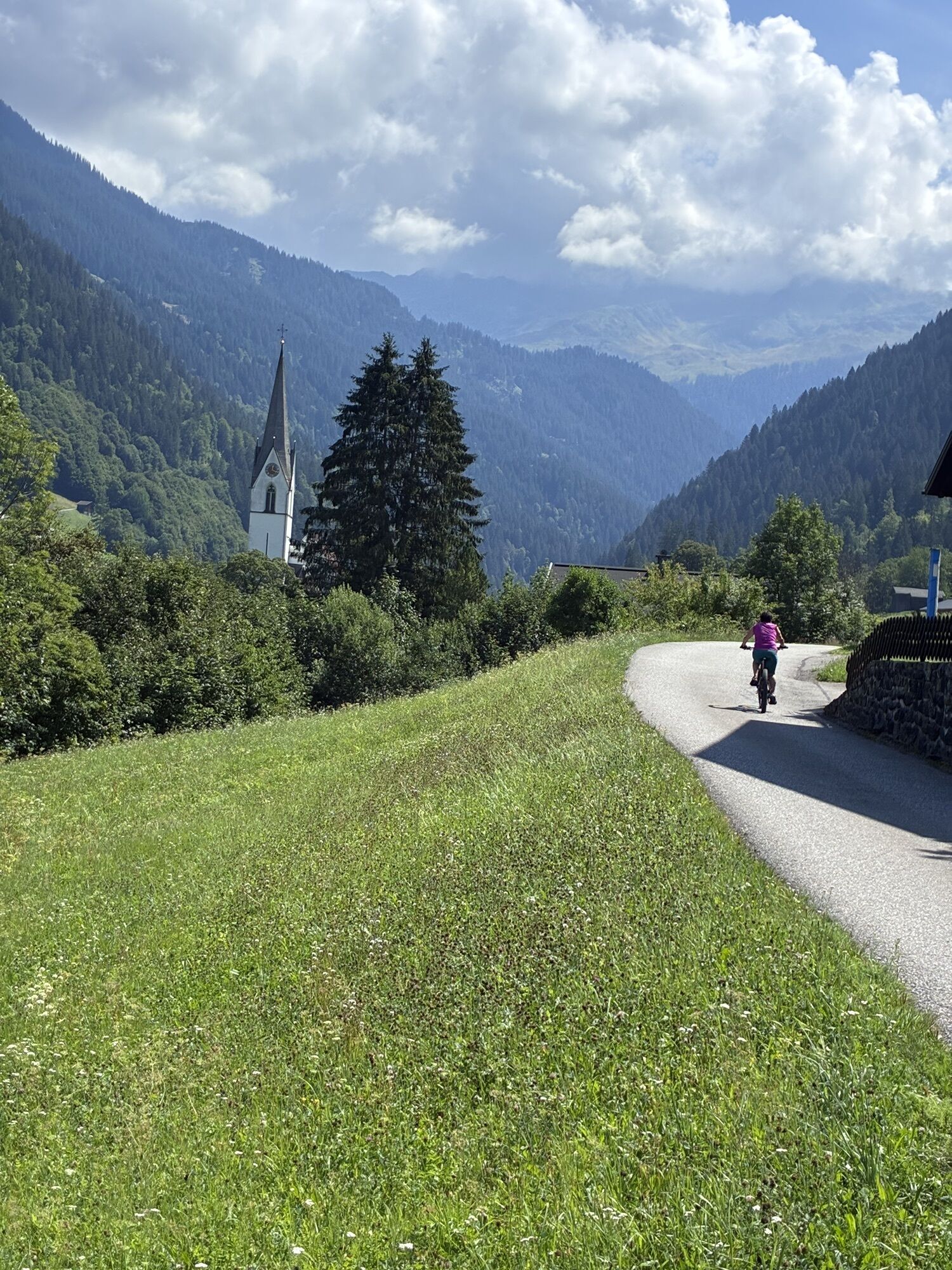
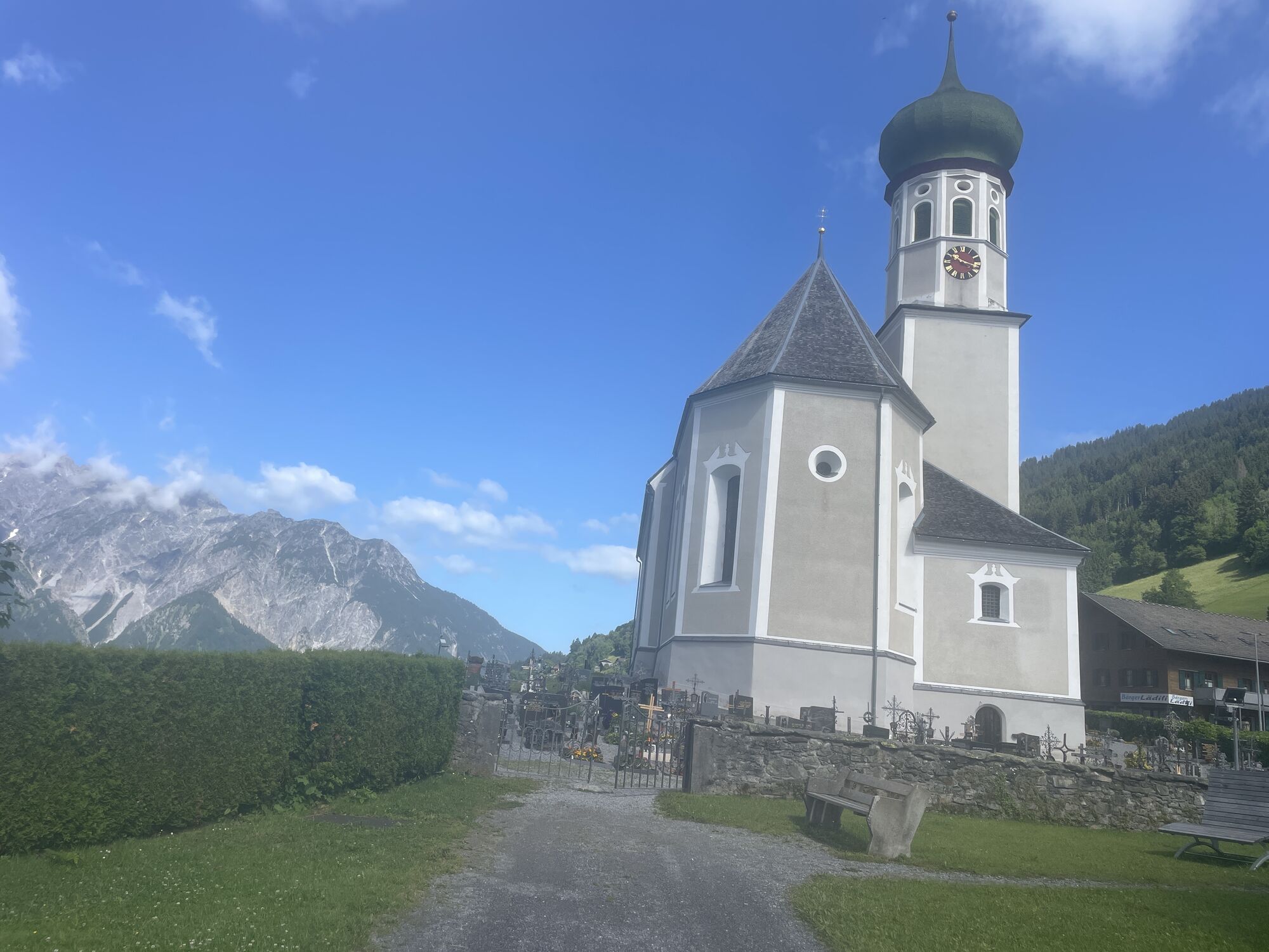
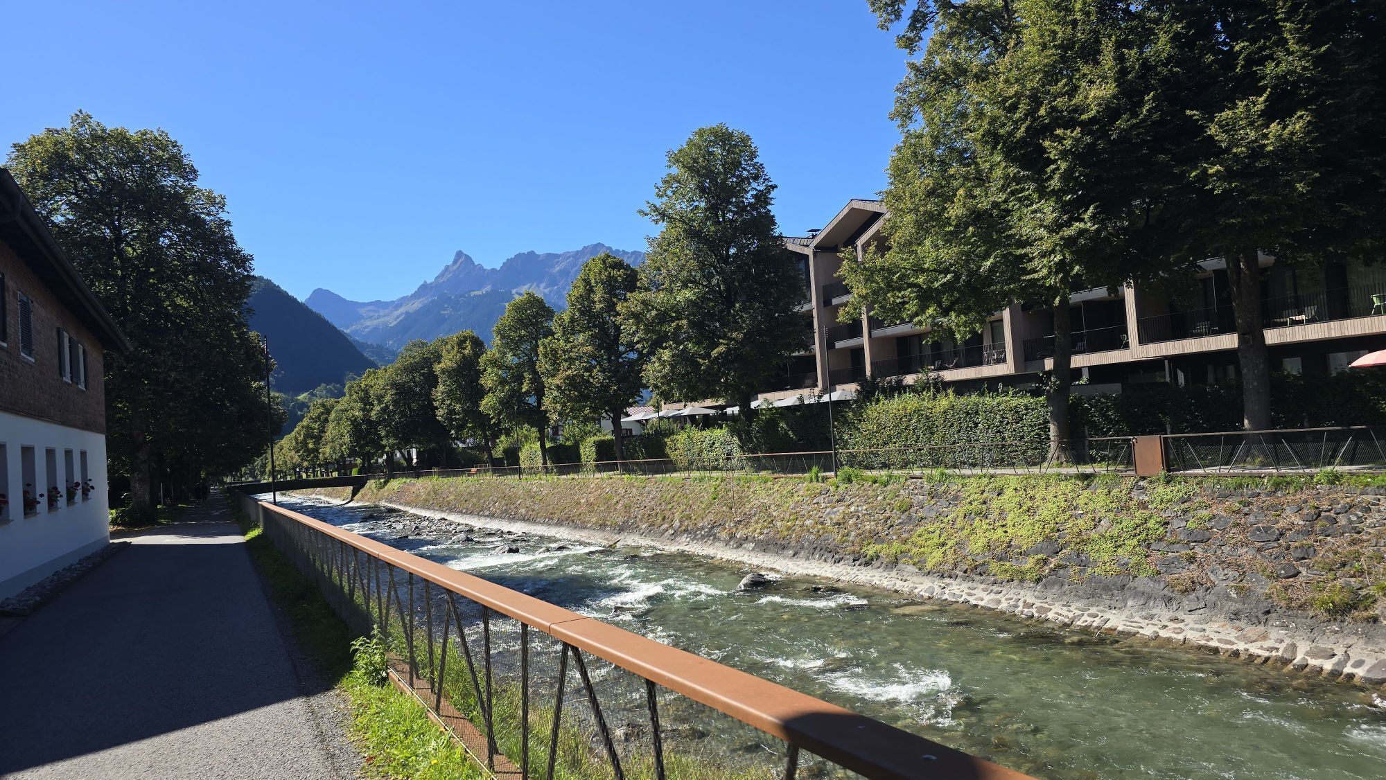

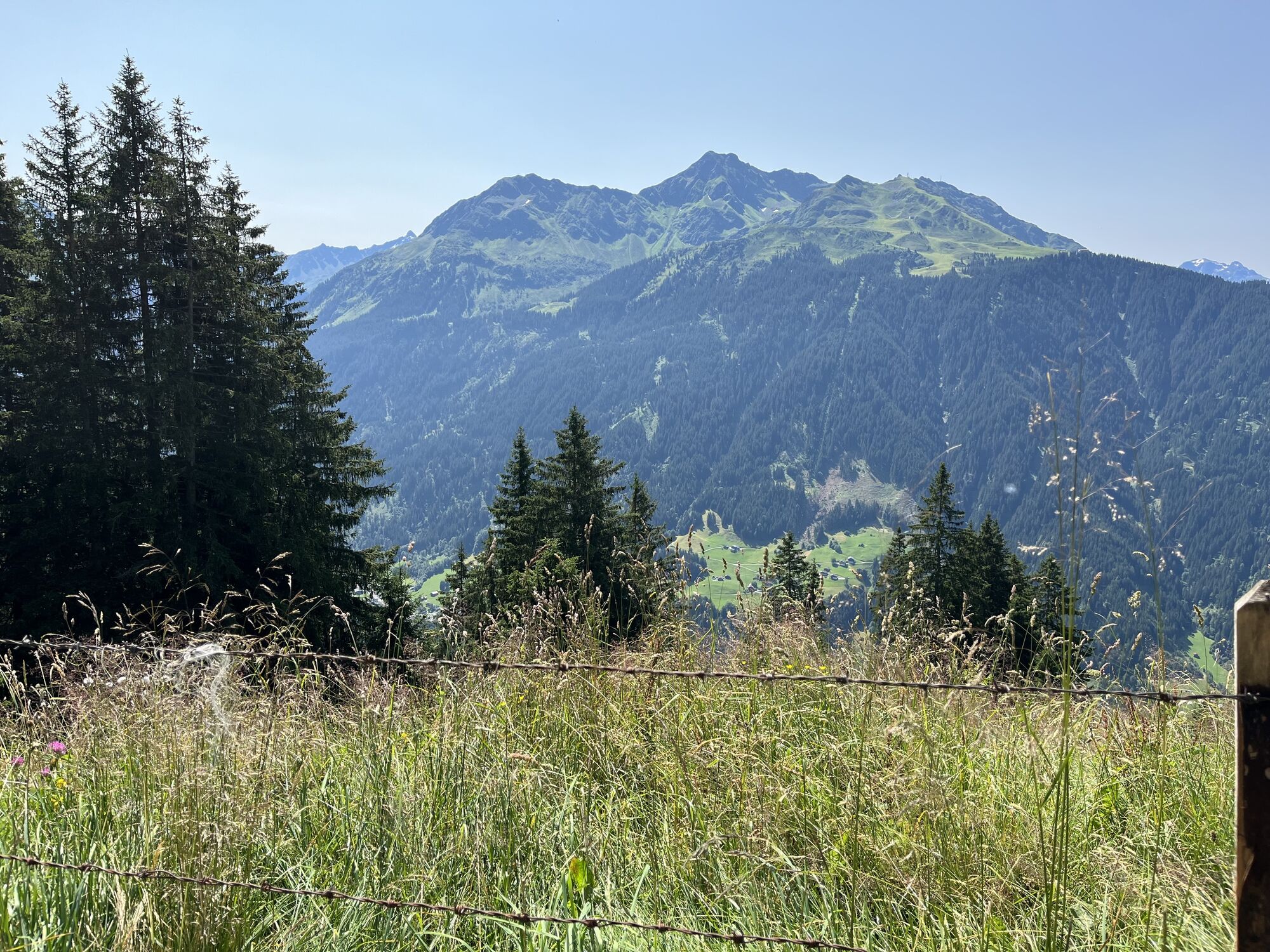
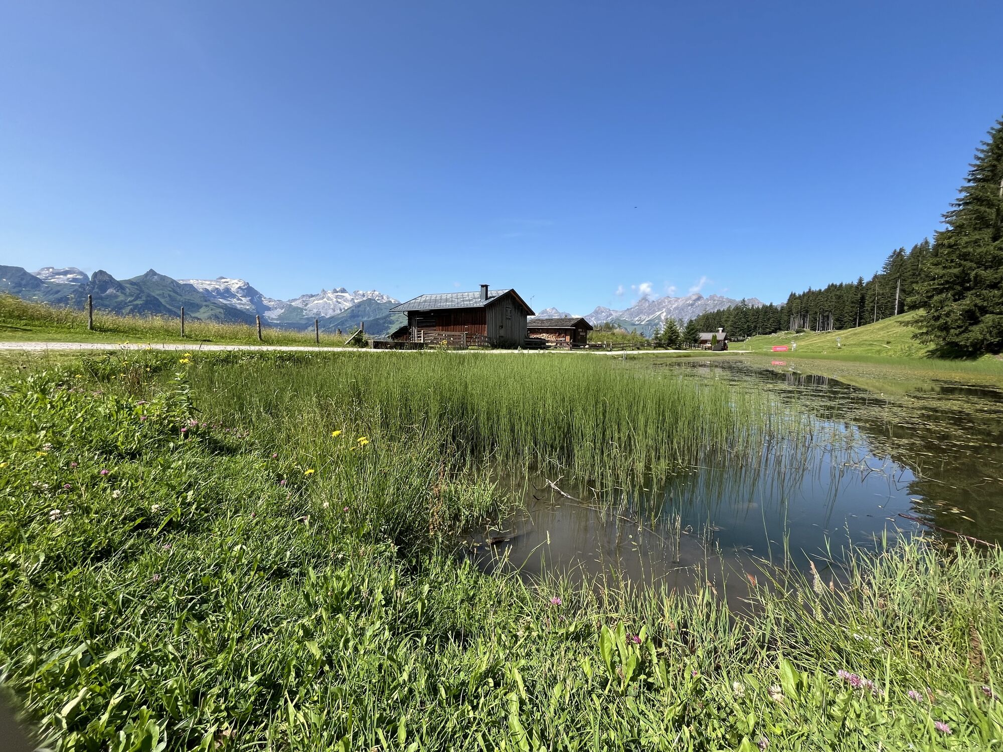

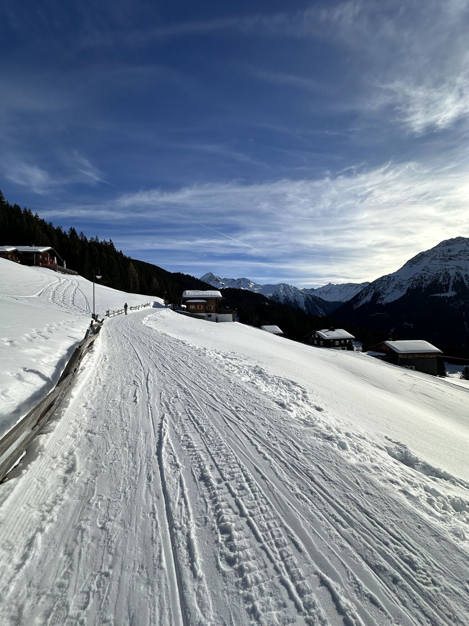
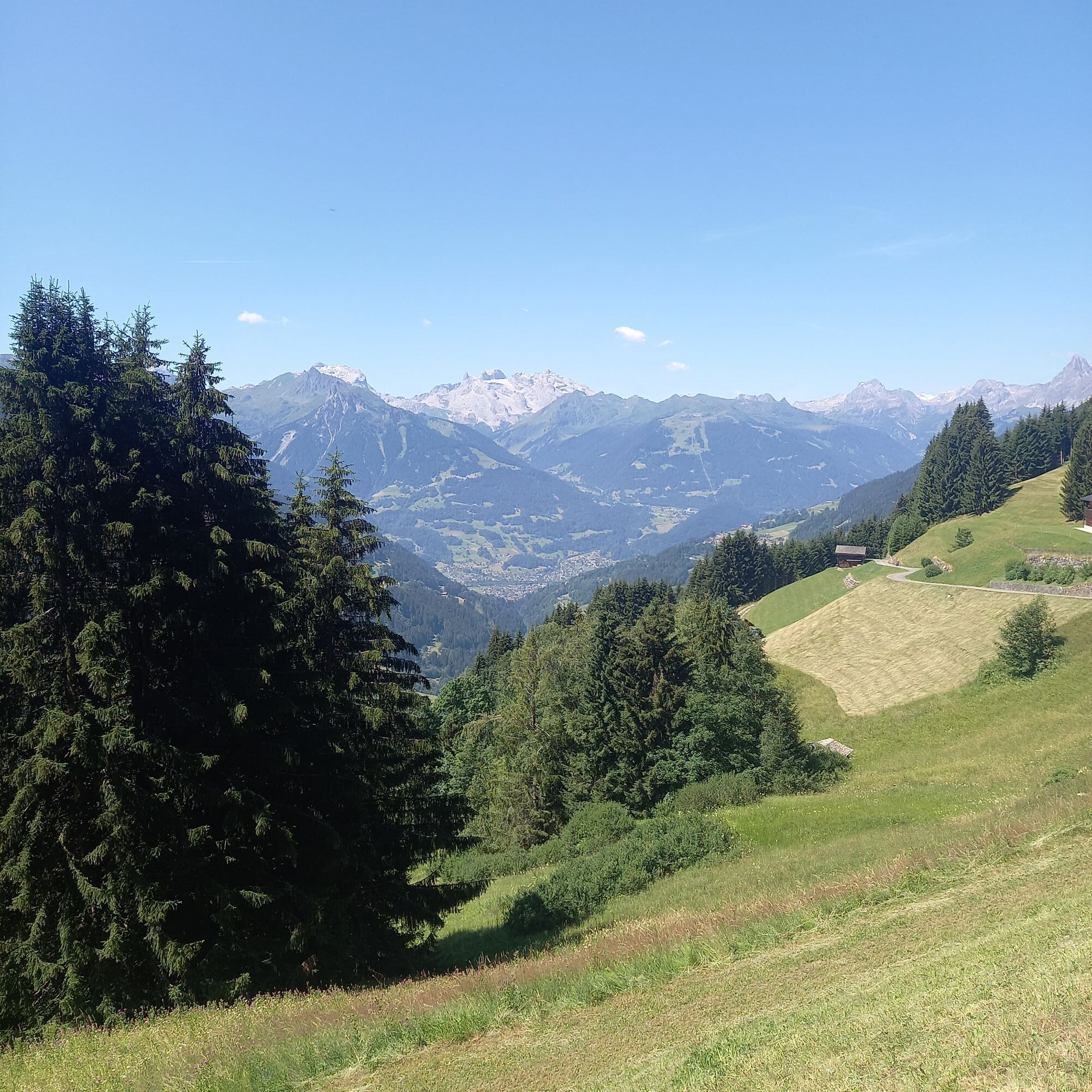
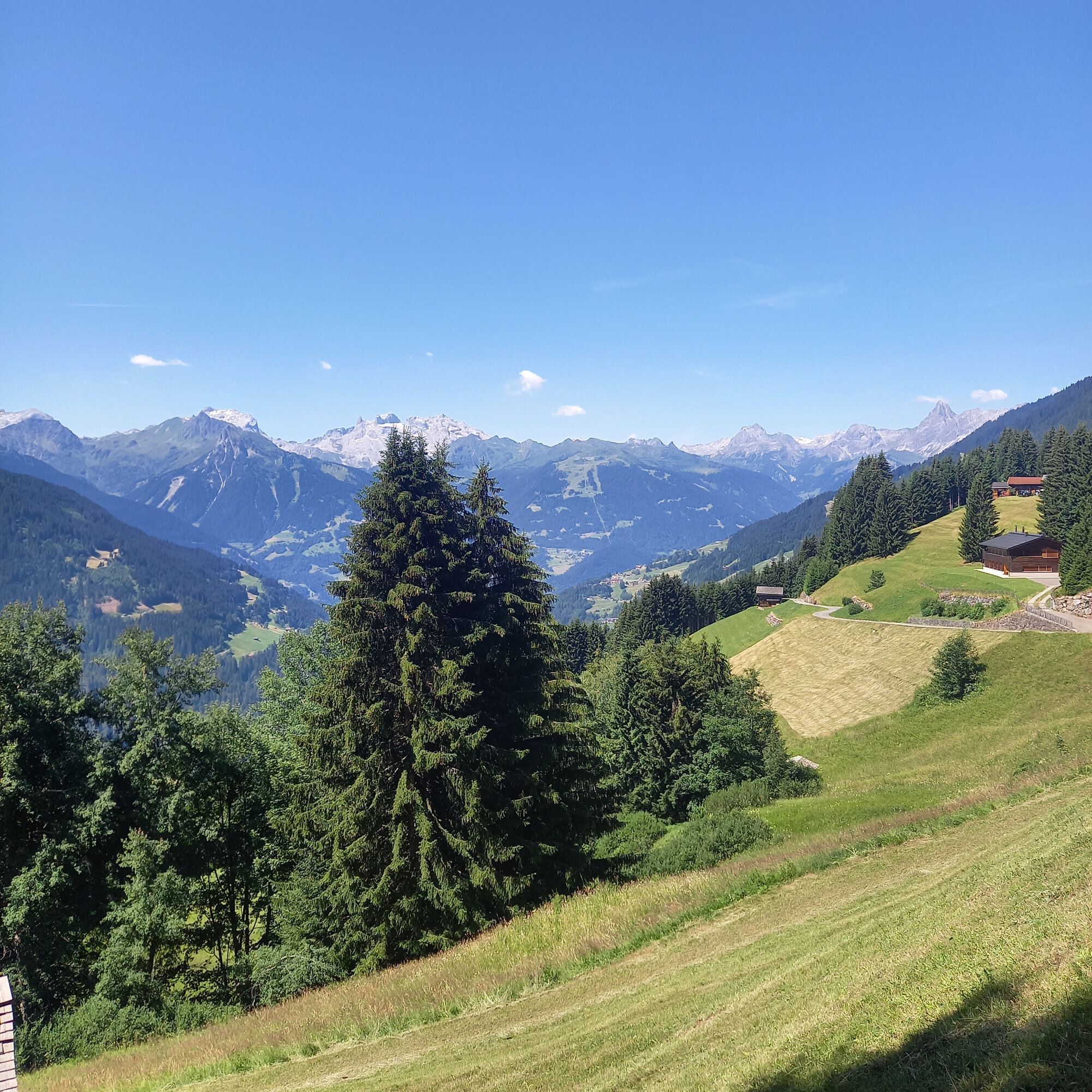
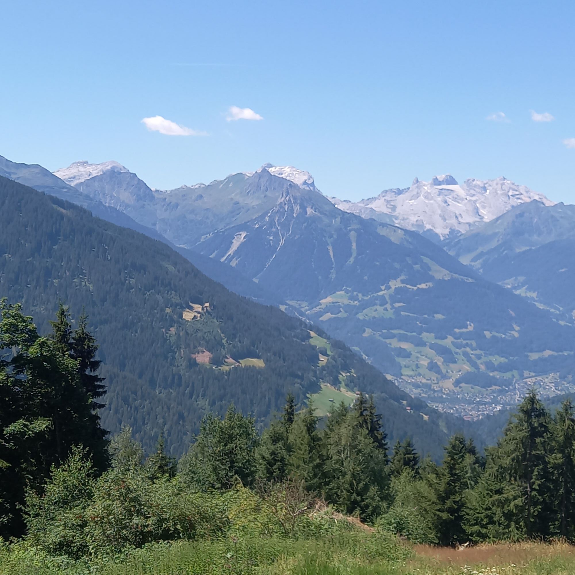
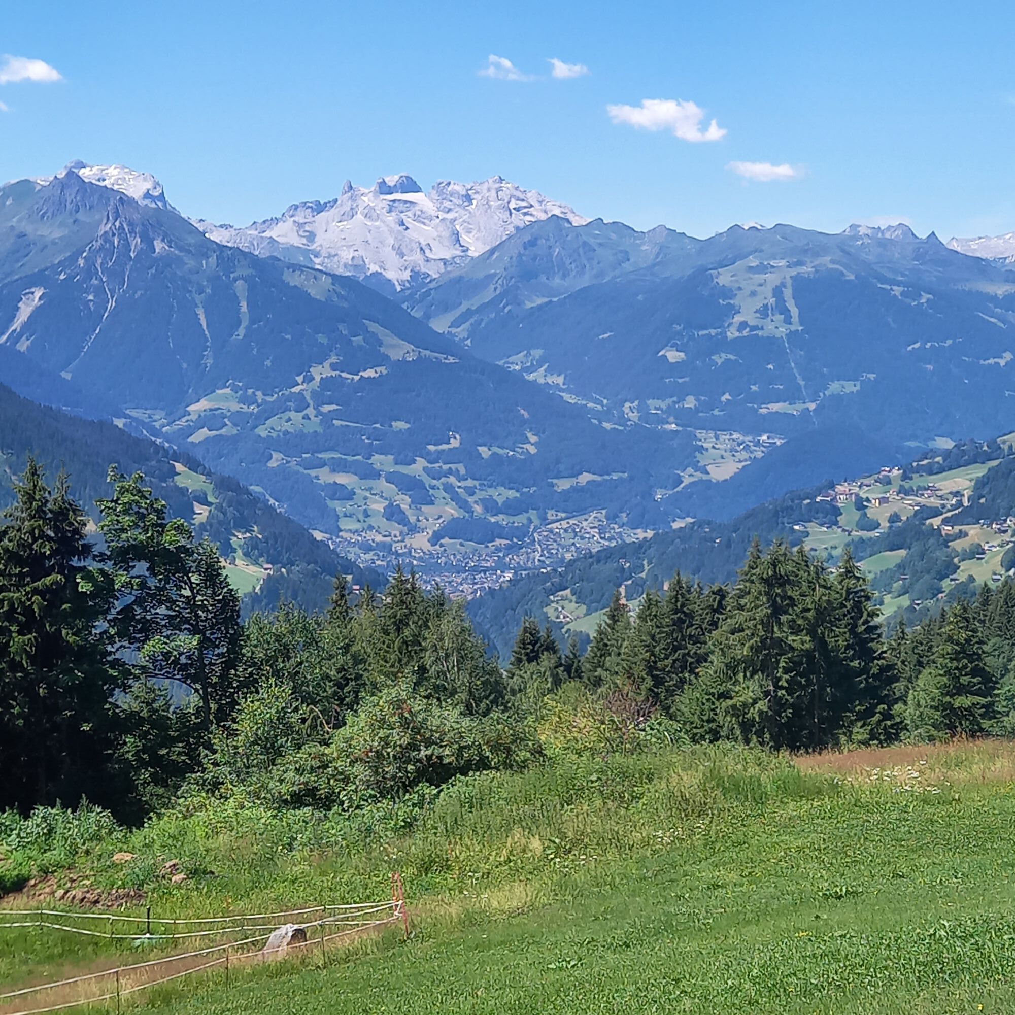
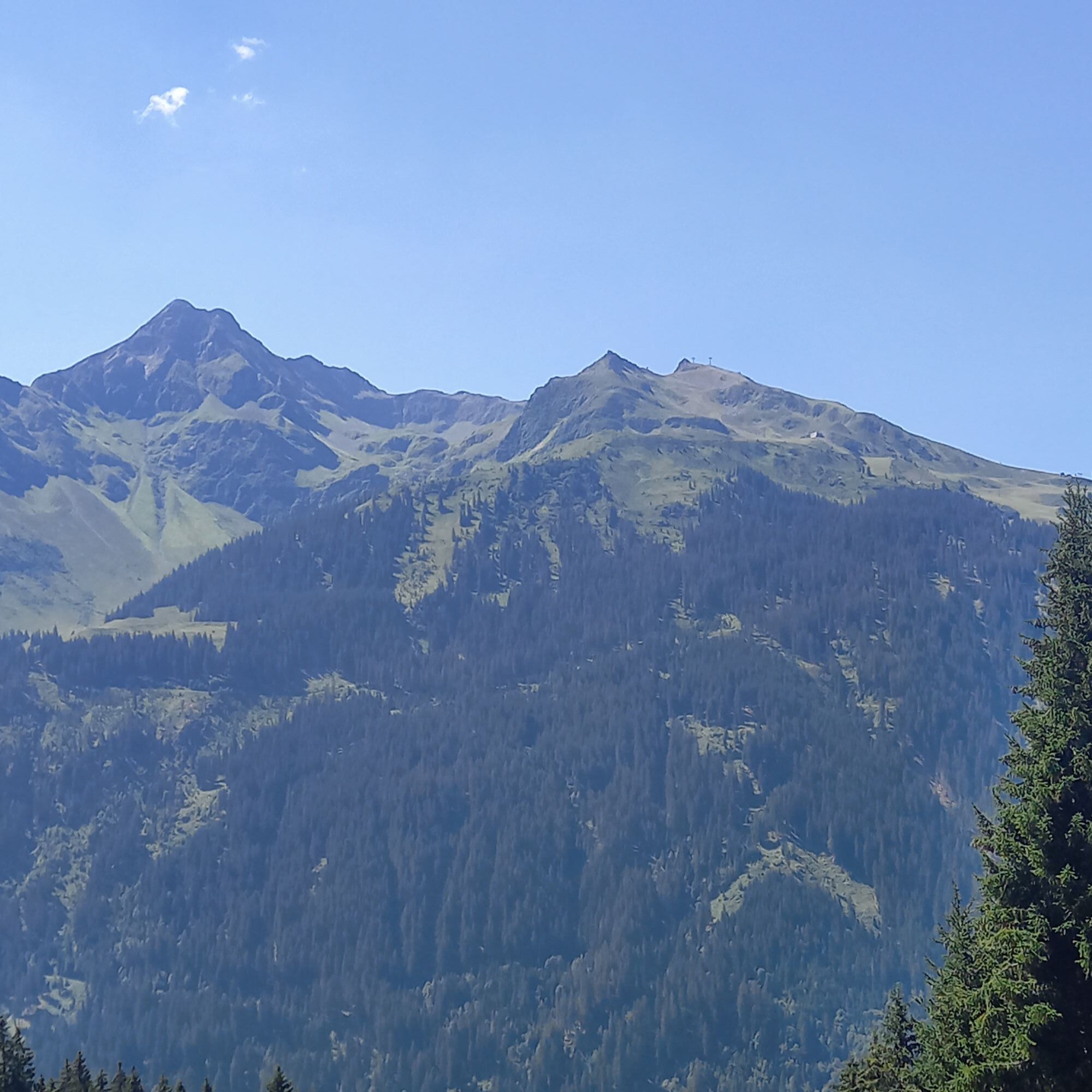
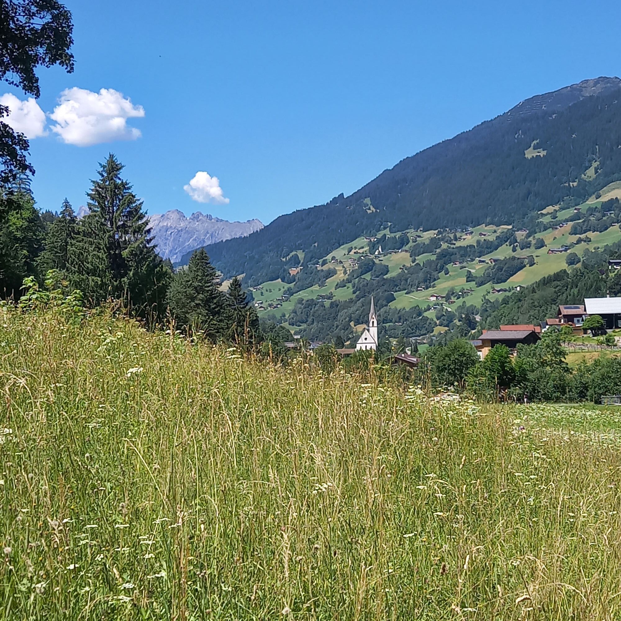
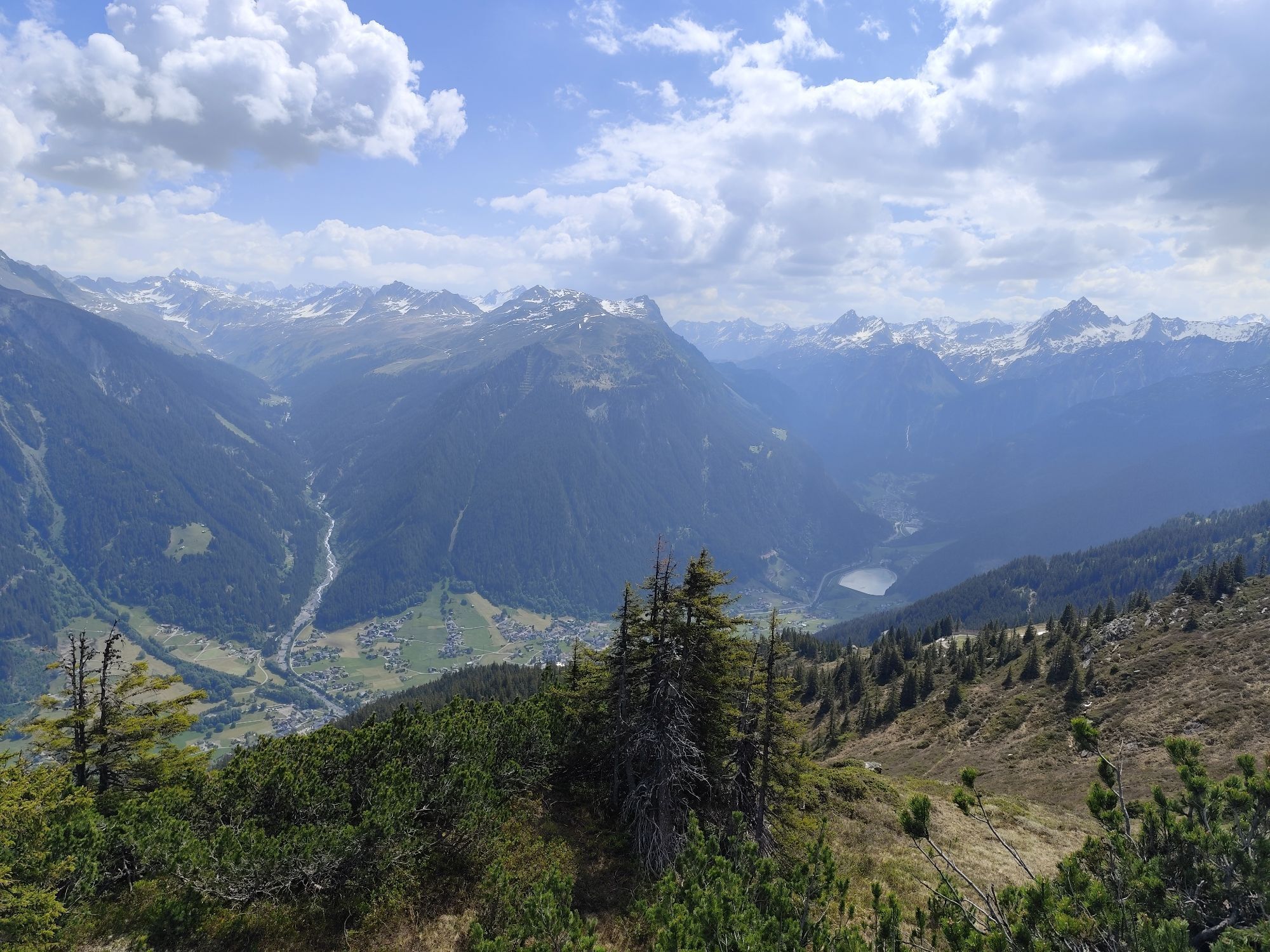
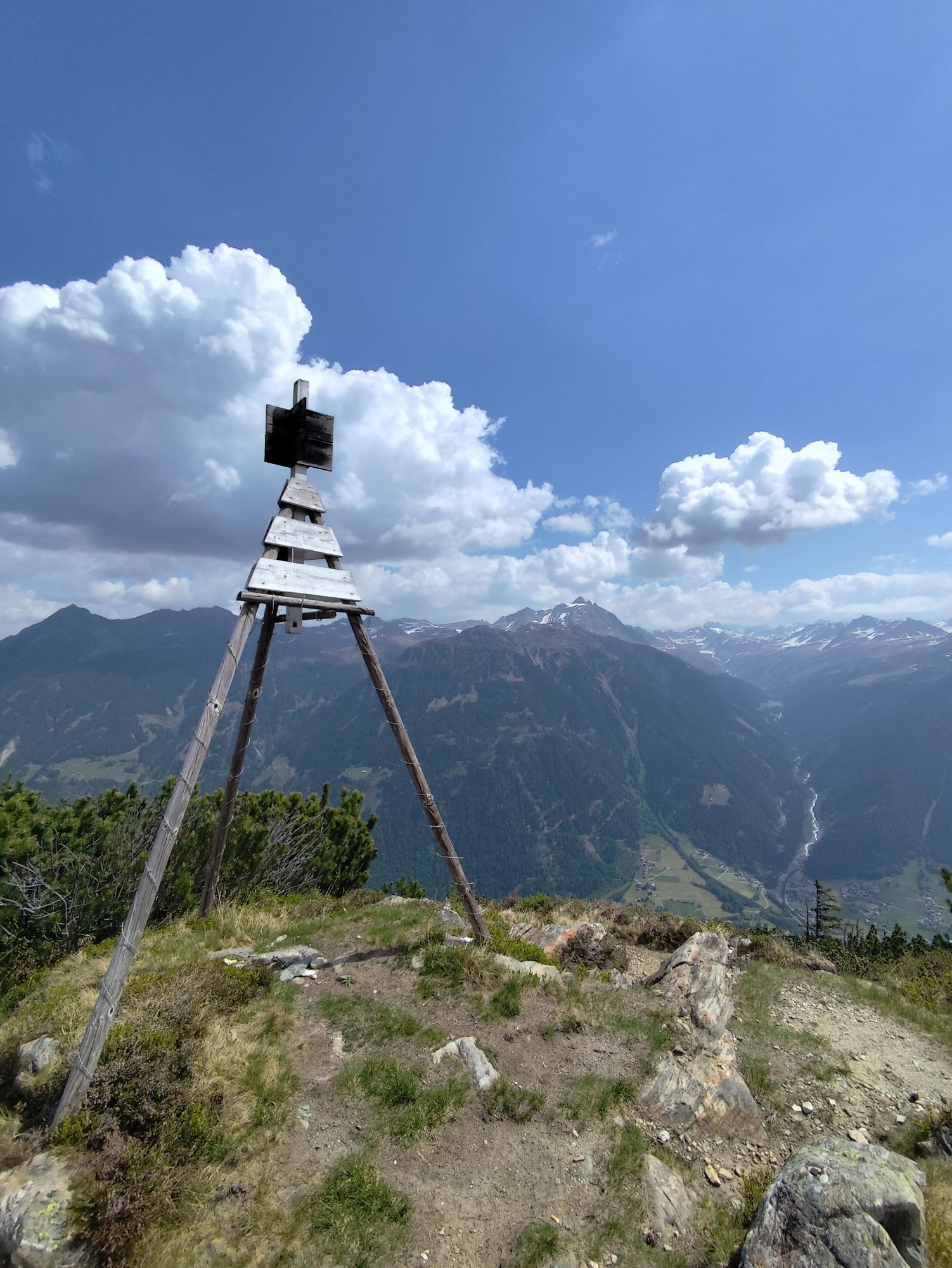
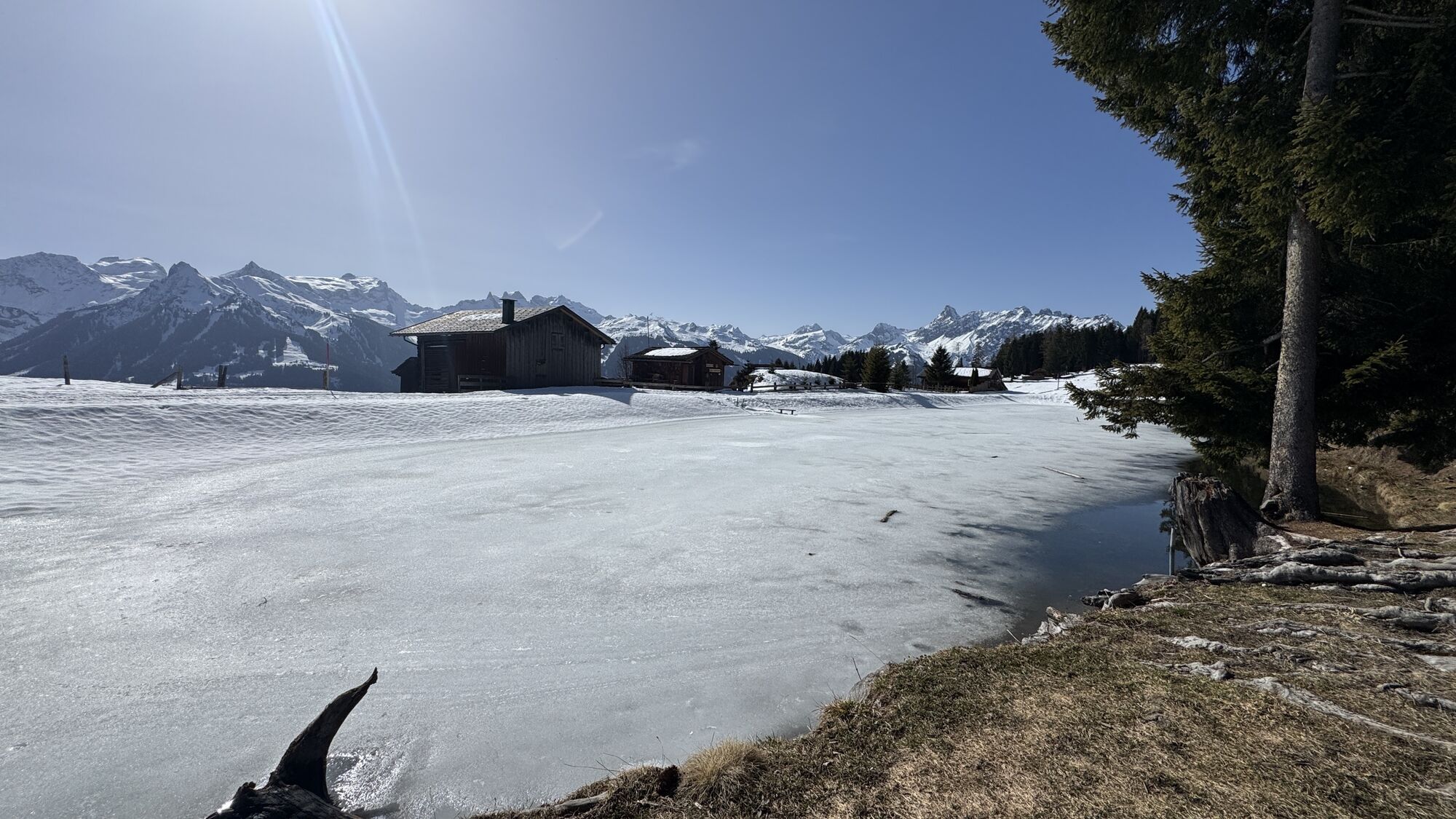
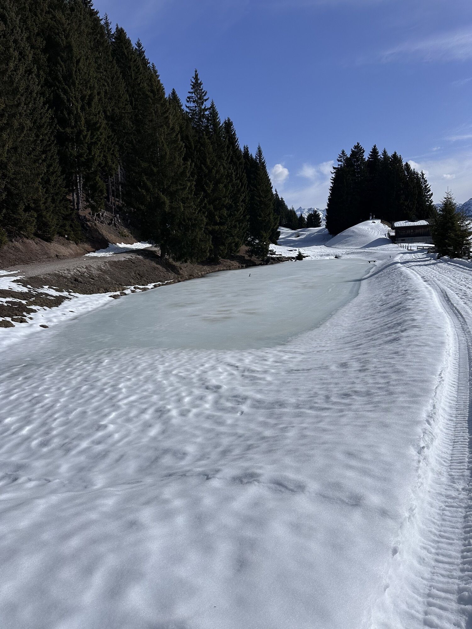
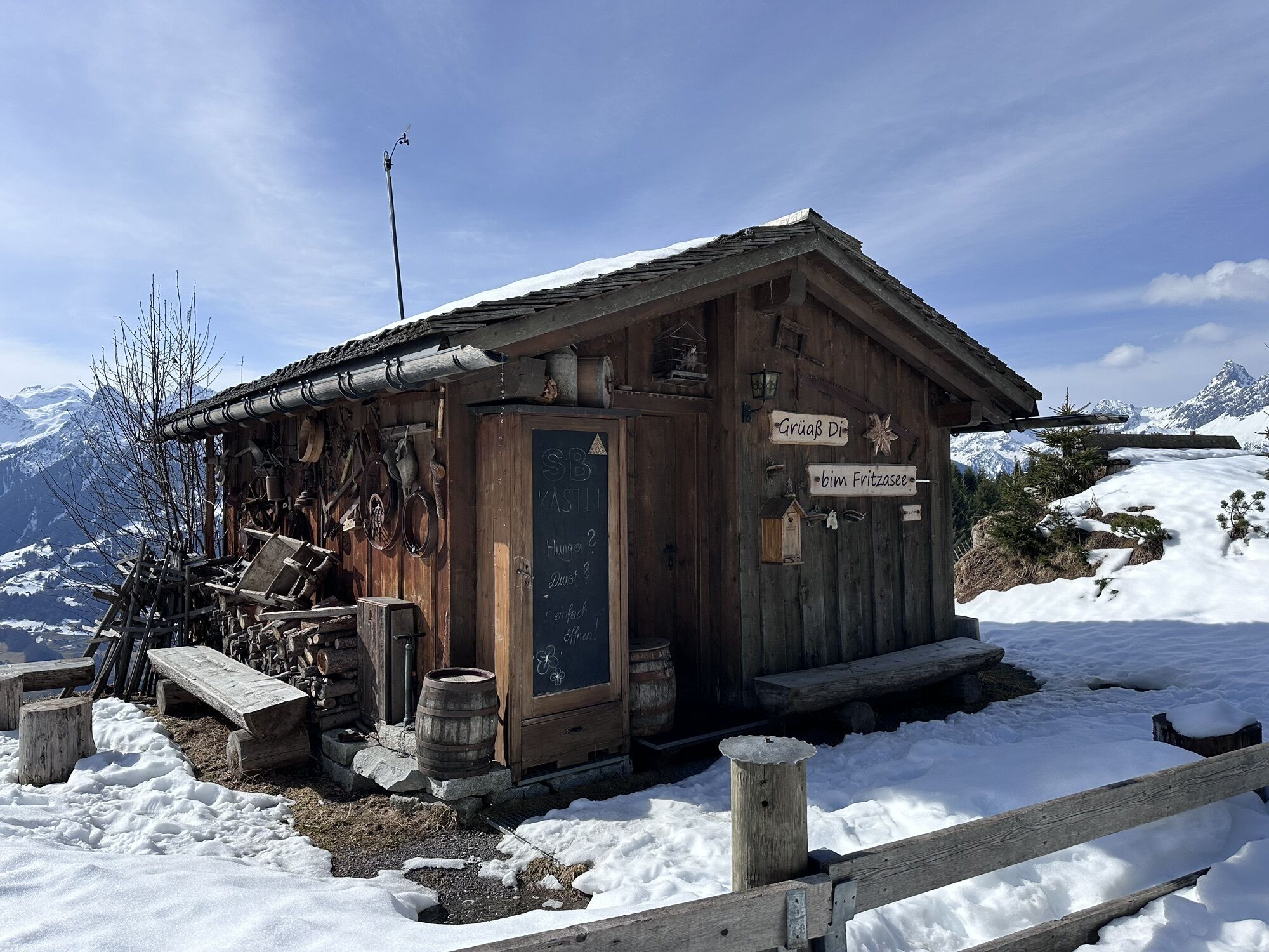
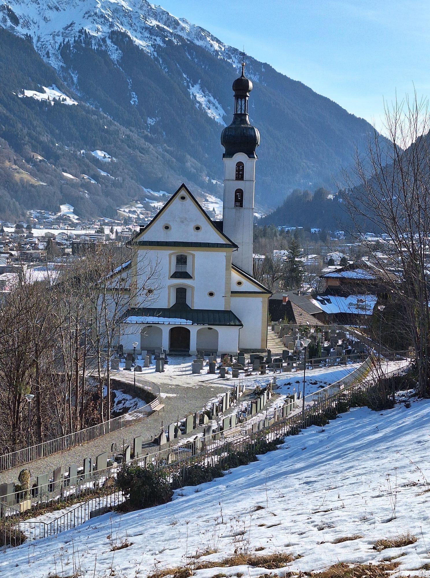
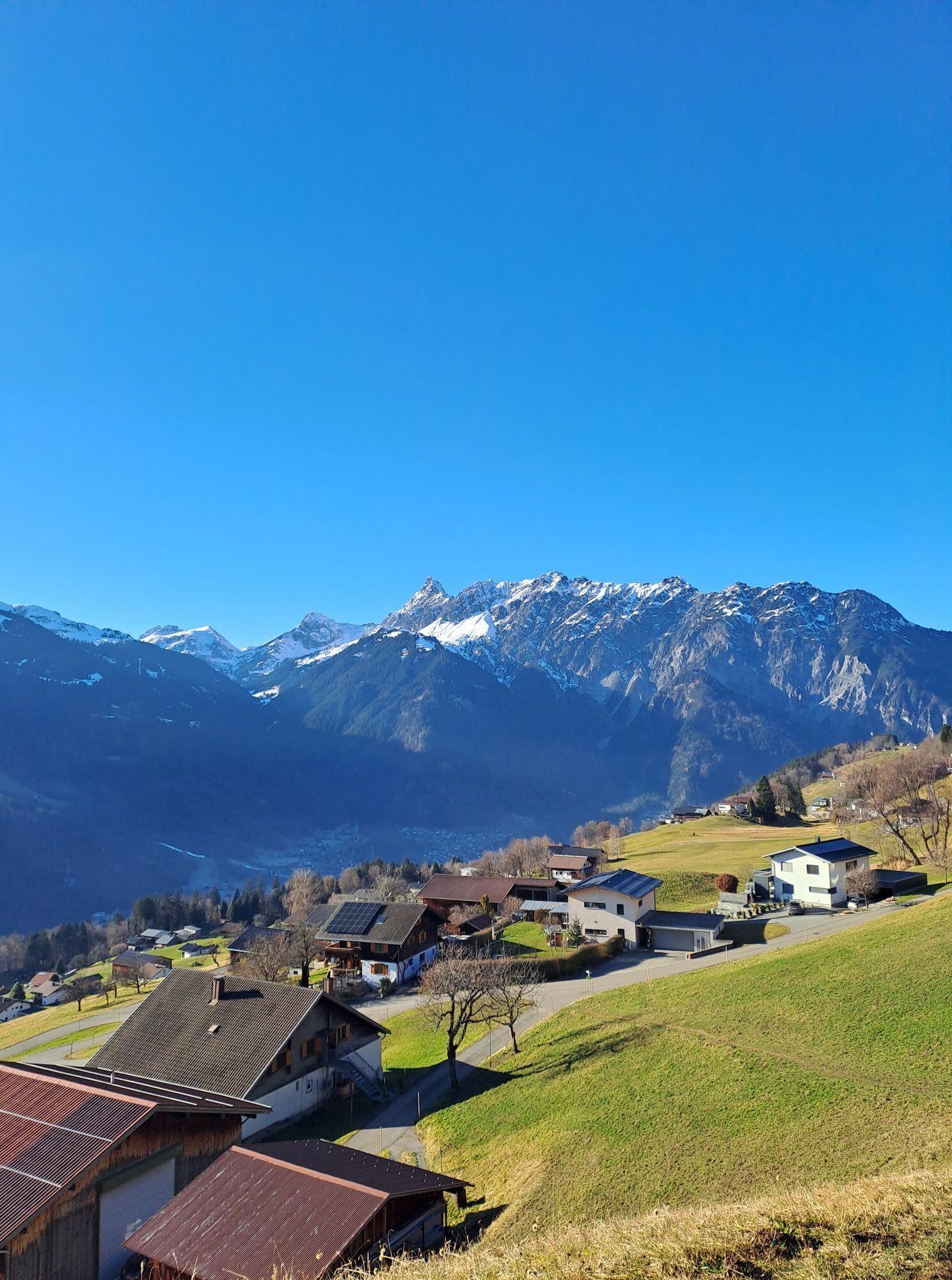
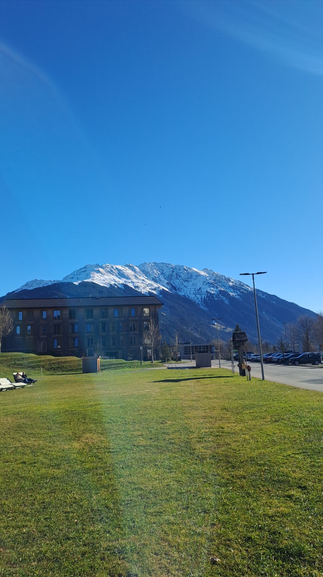
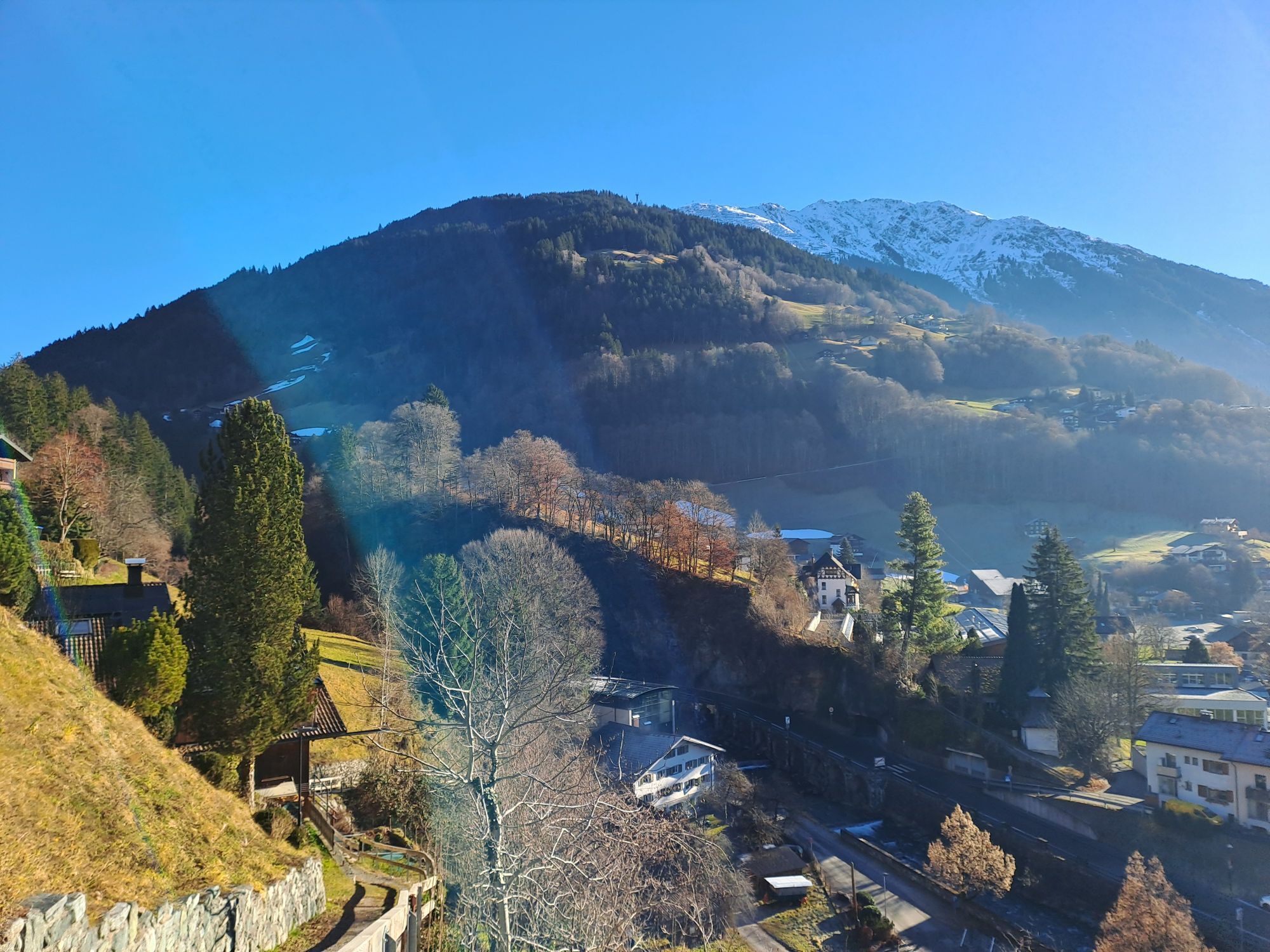
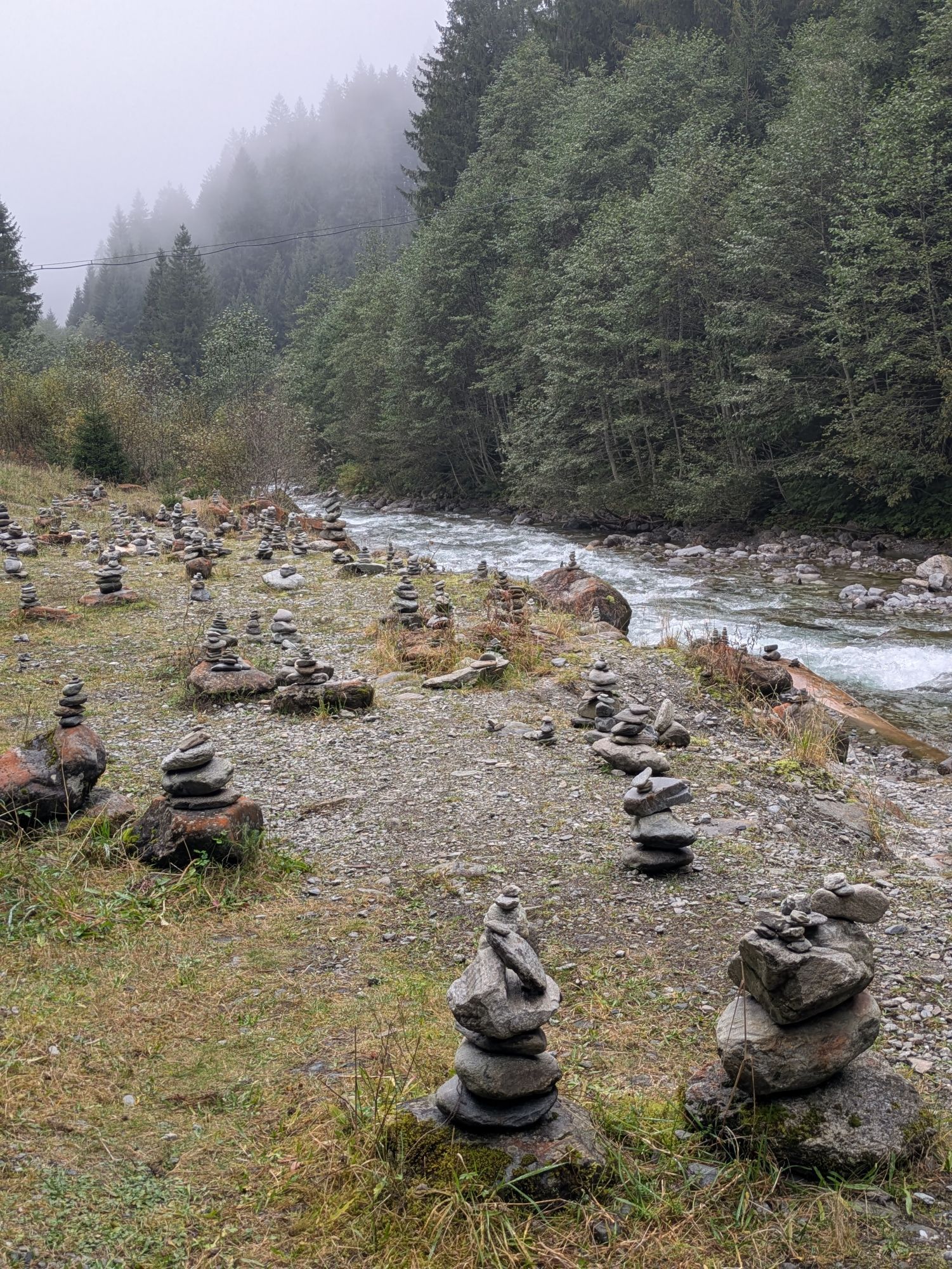
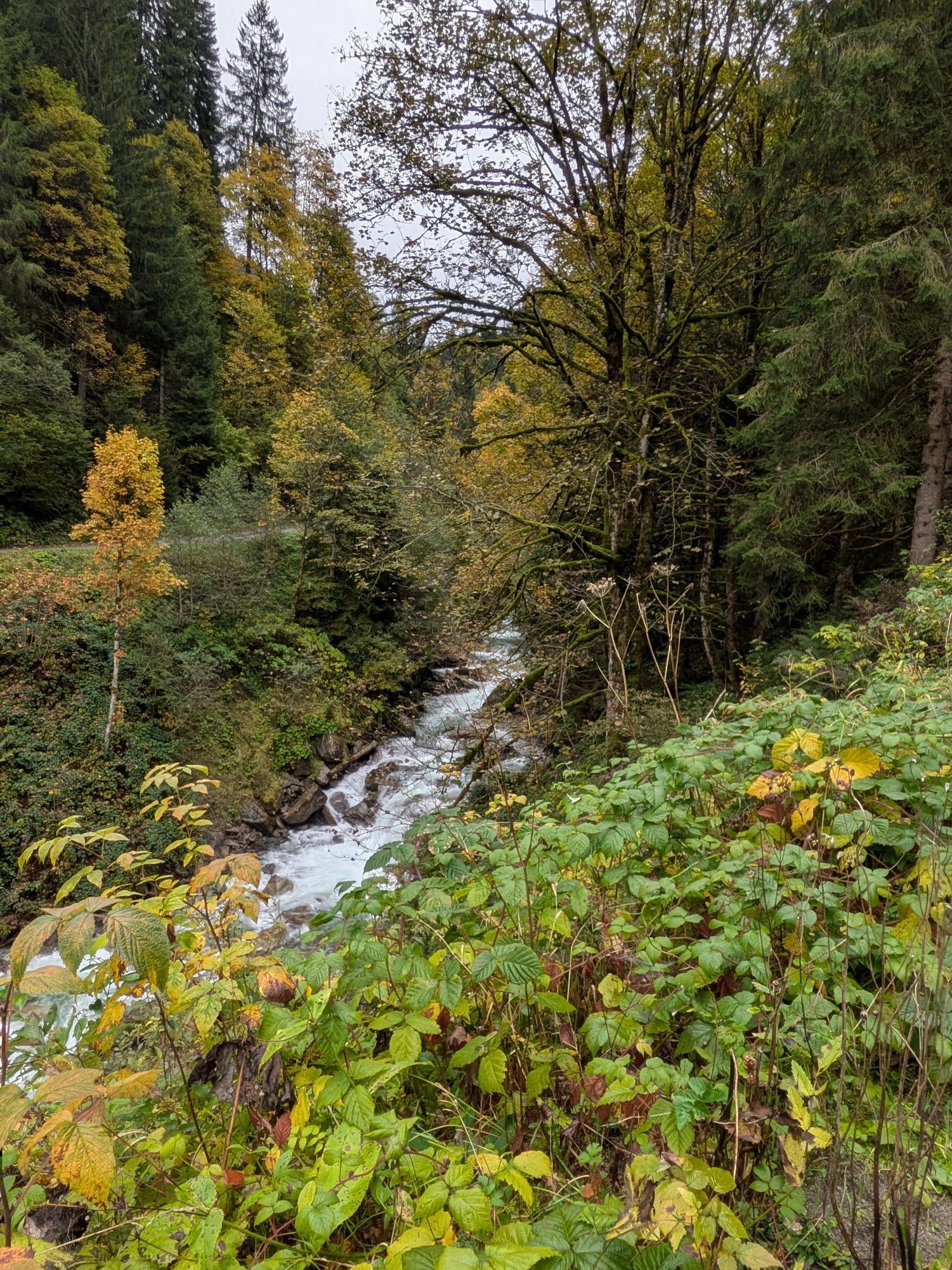
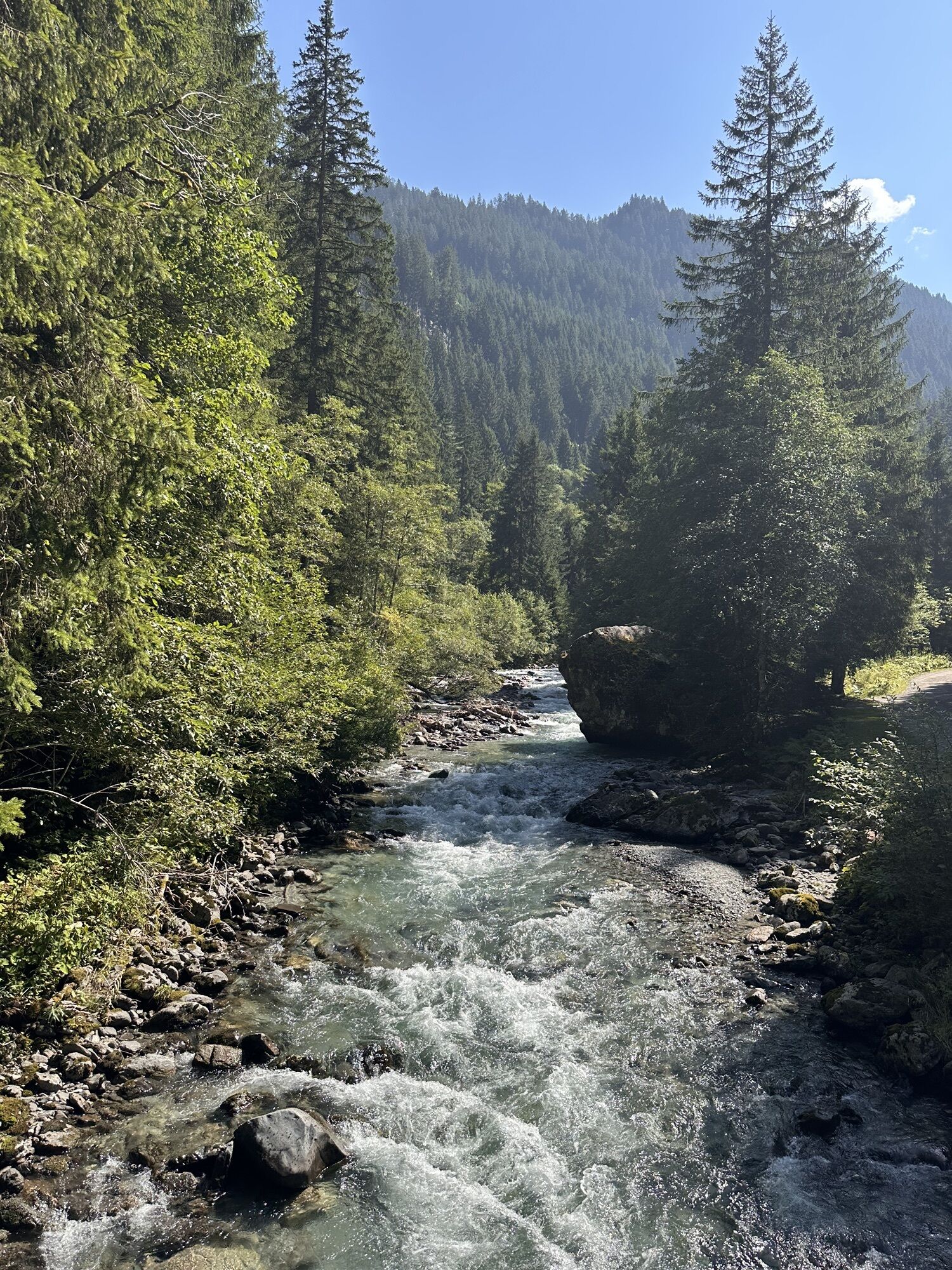
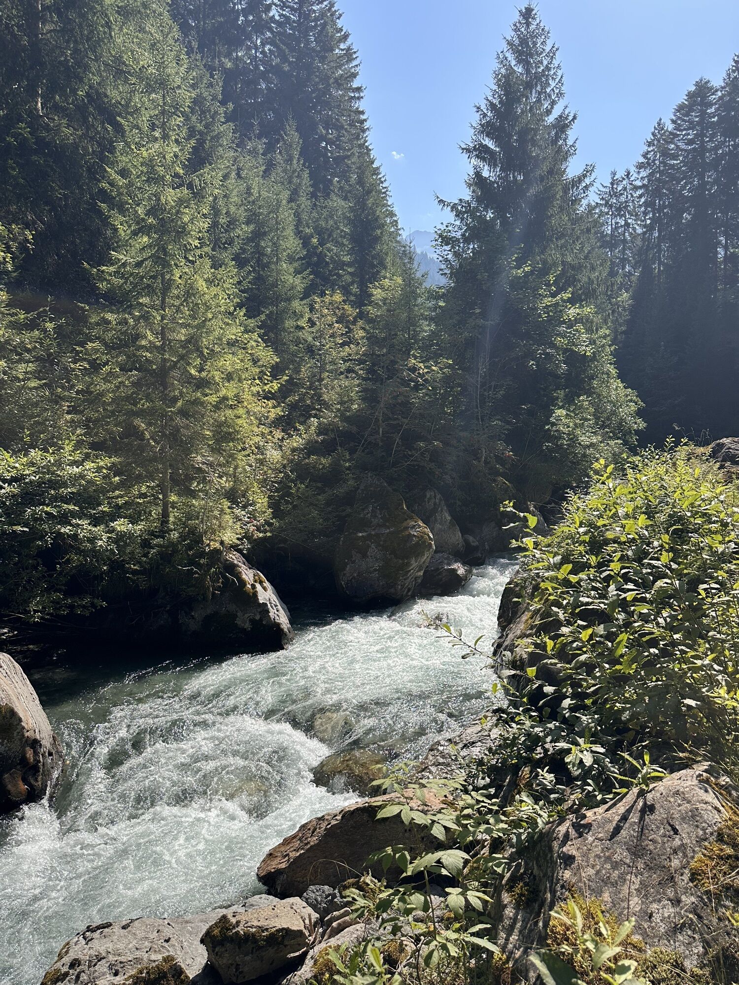
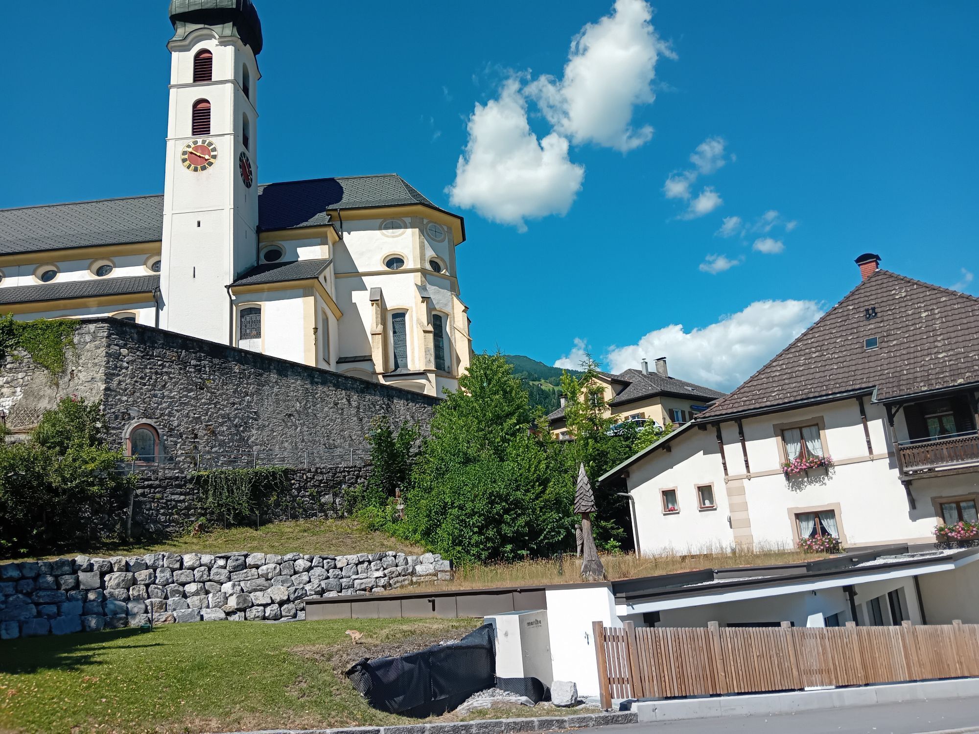
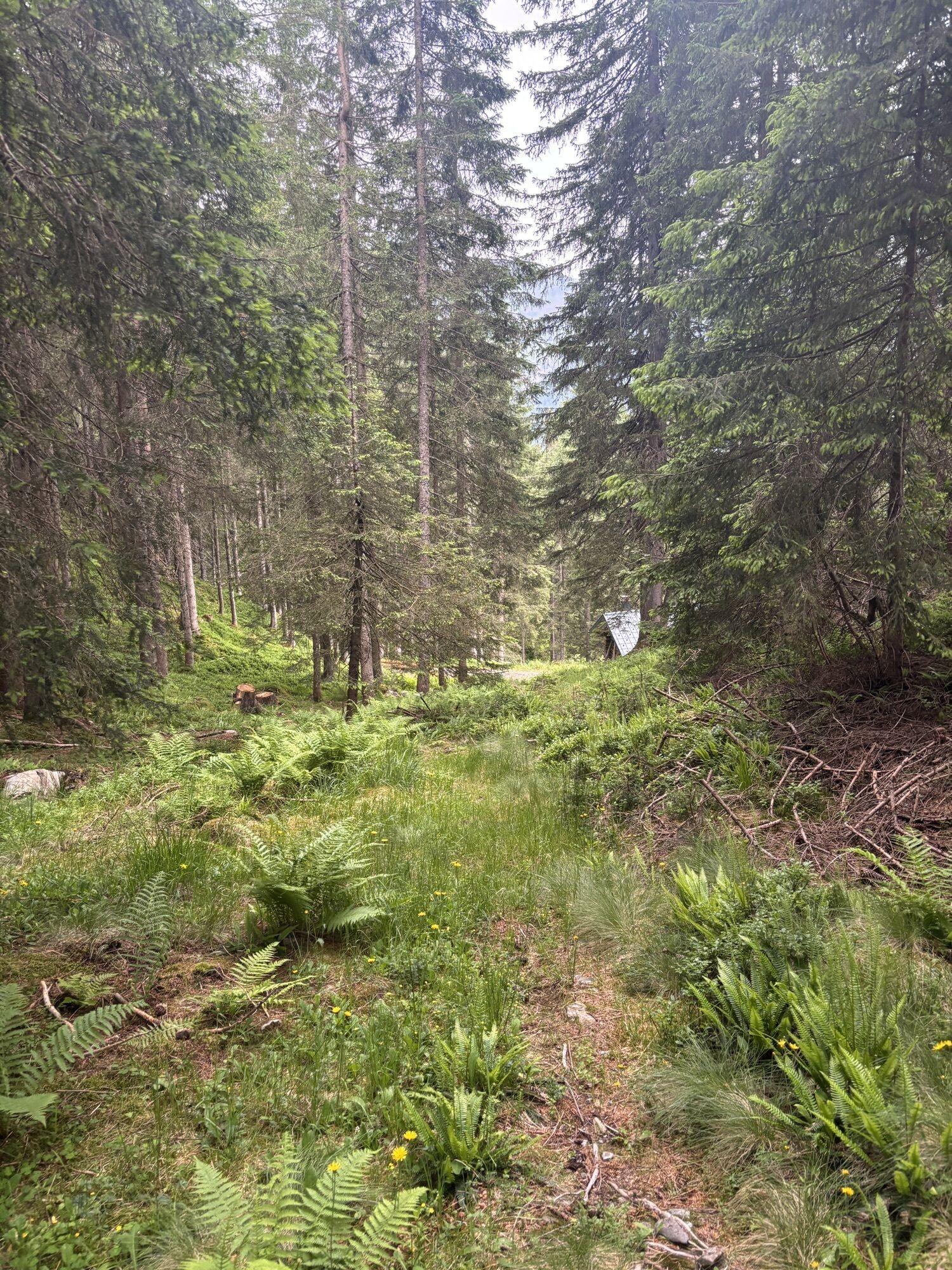
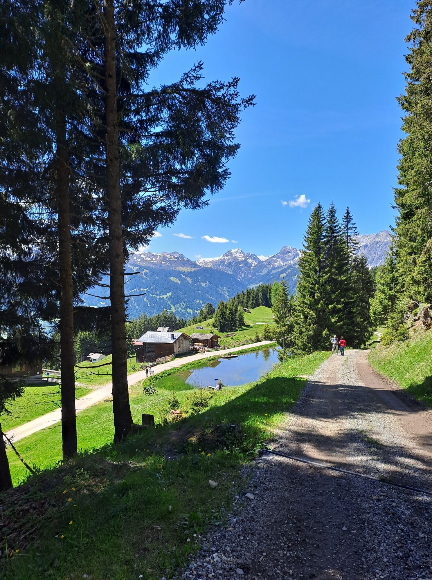
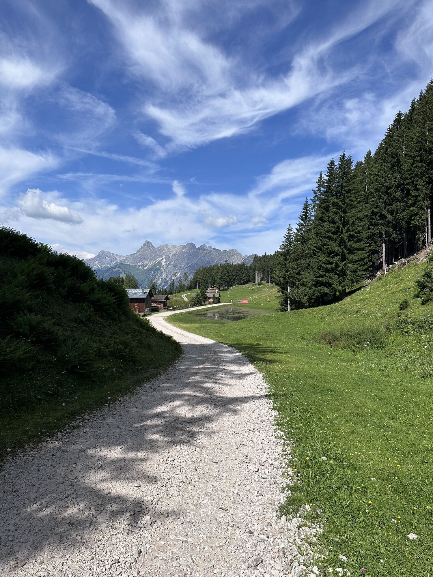
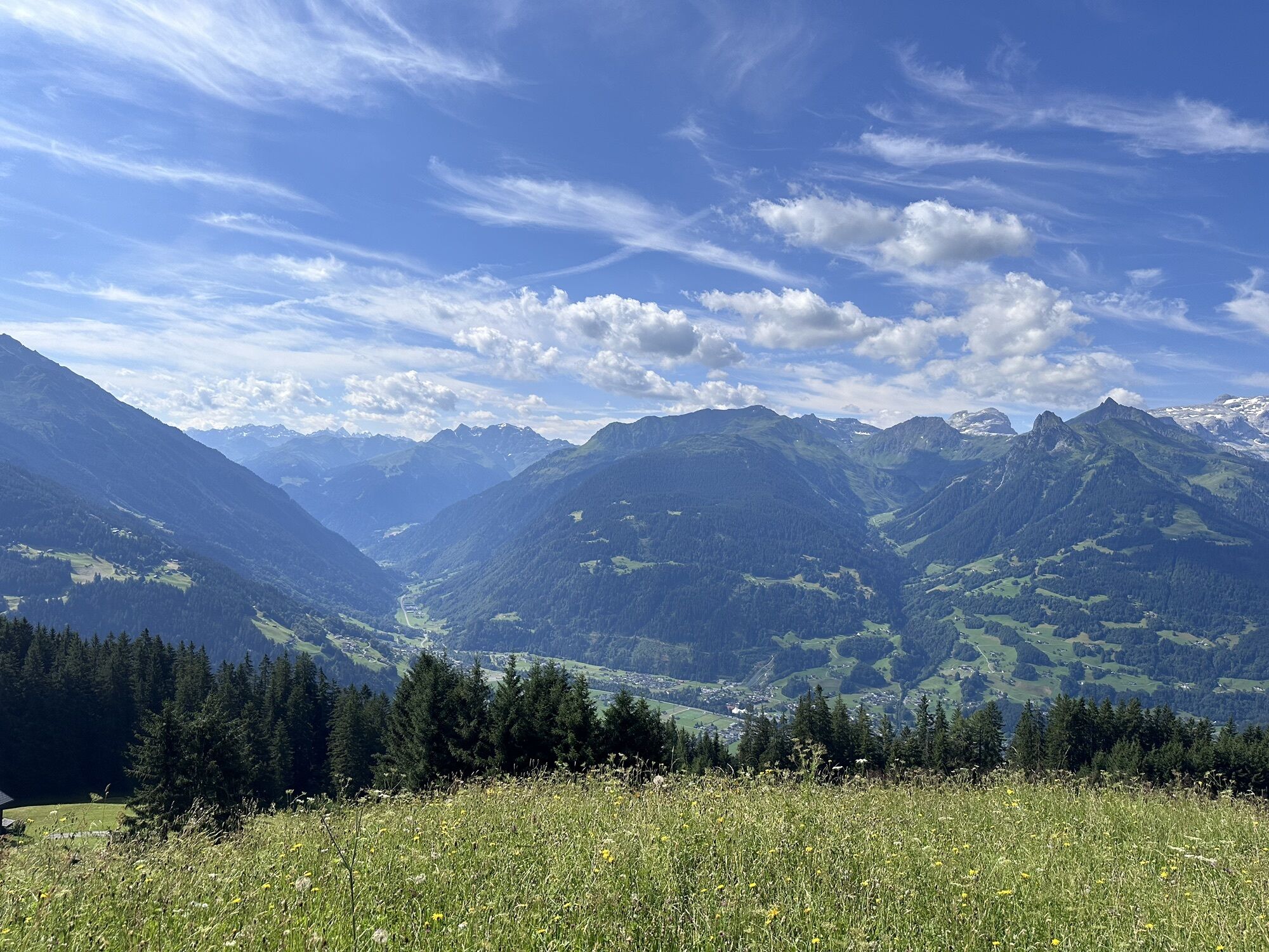
Take a deep breath and enjoy the impressive view of the Rätikon peaks: With the most hours of sunshine in the Montafon, Bartholomäberg at 1,100 meters above sea level is a paradise for sun lovers. As the...
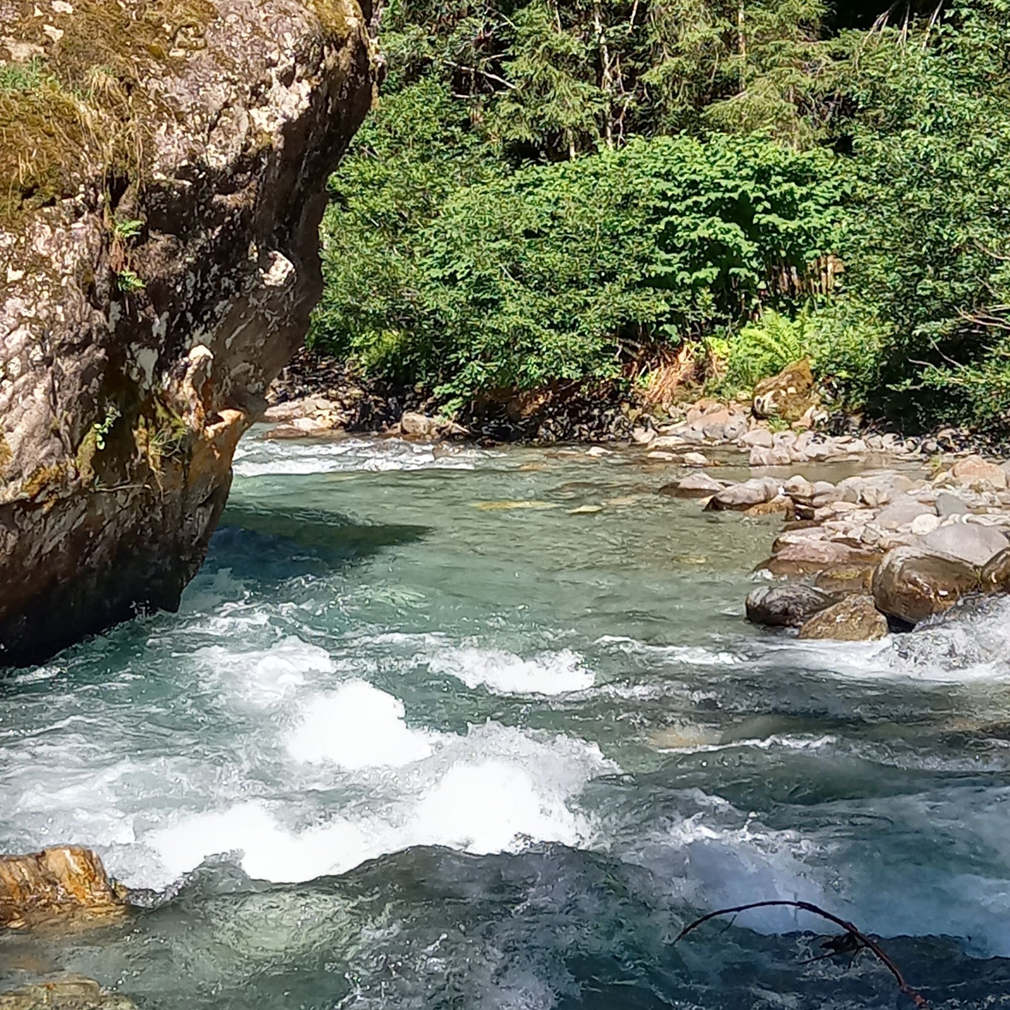
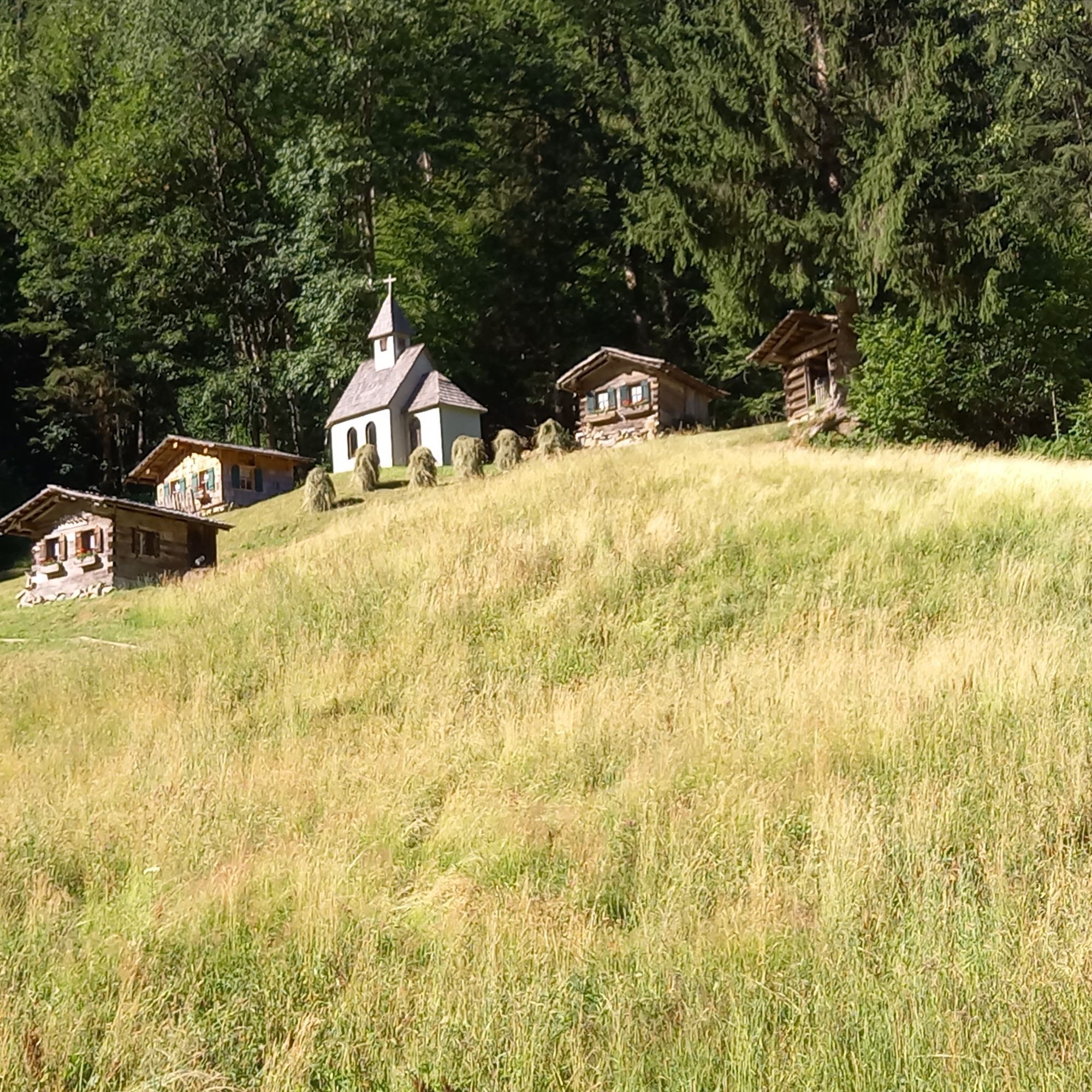
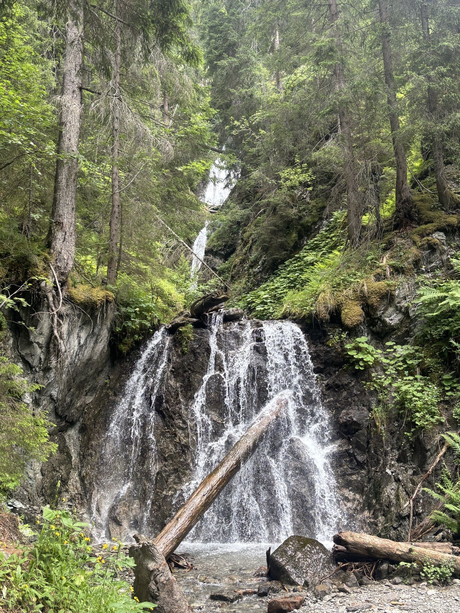
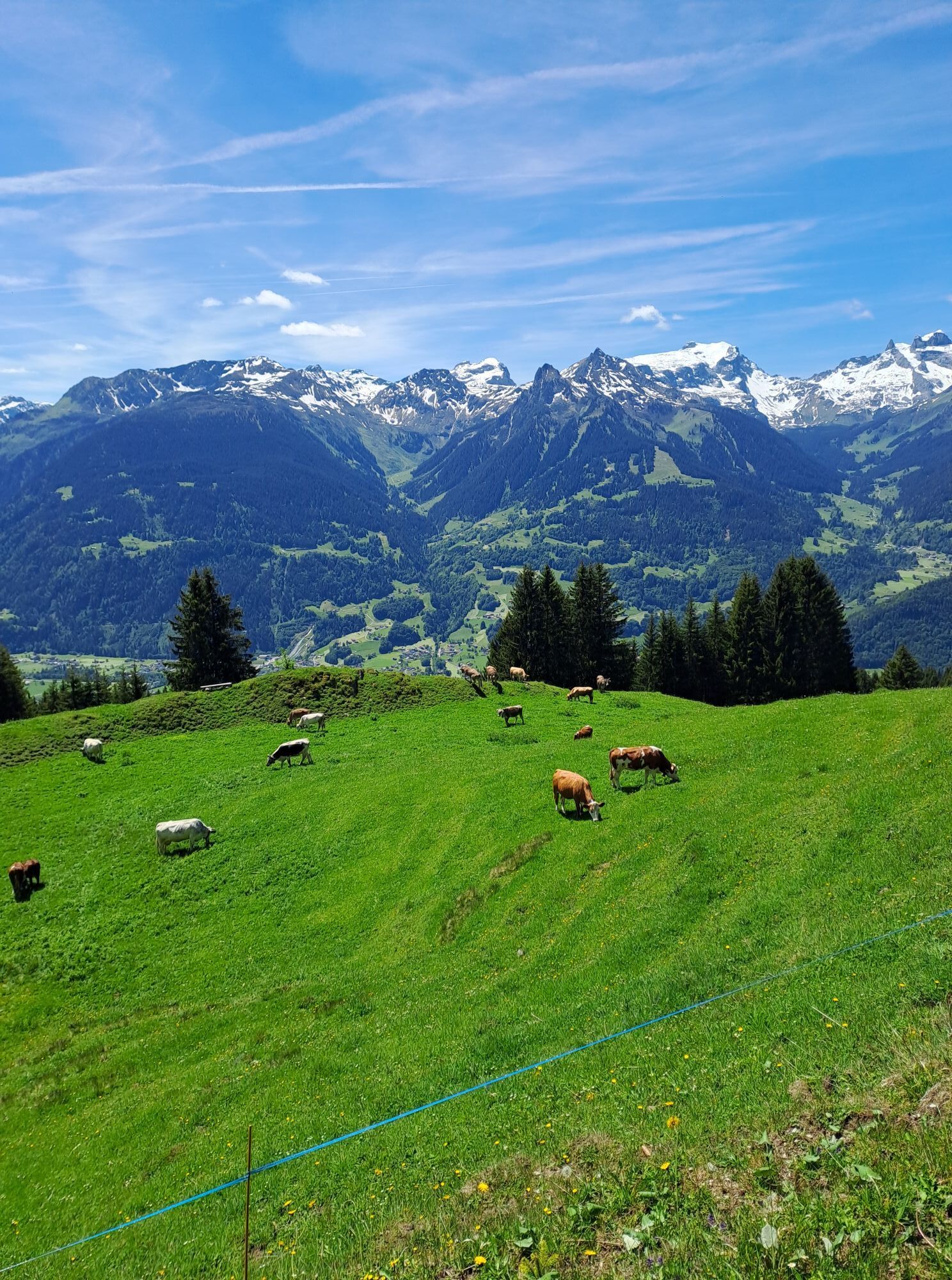
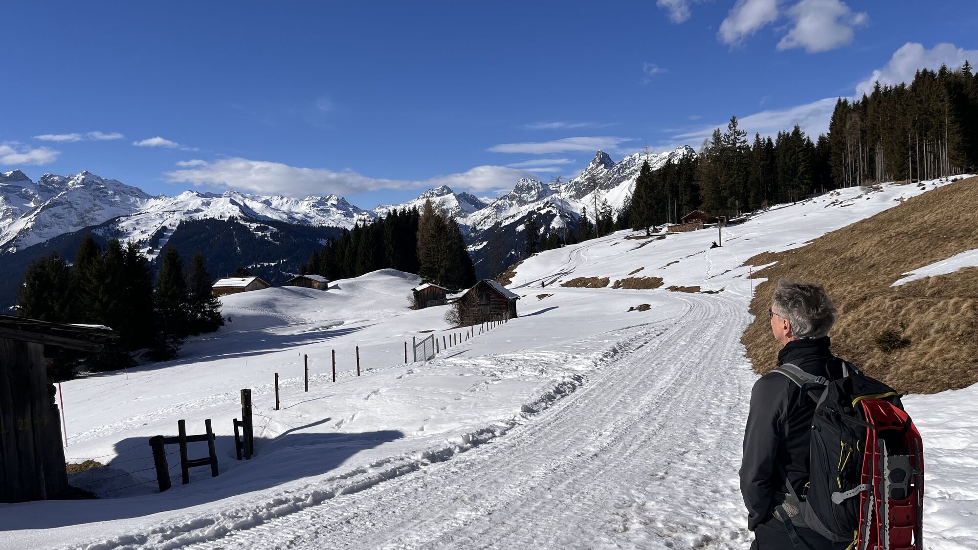
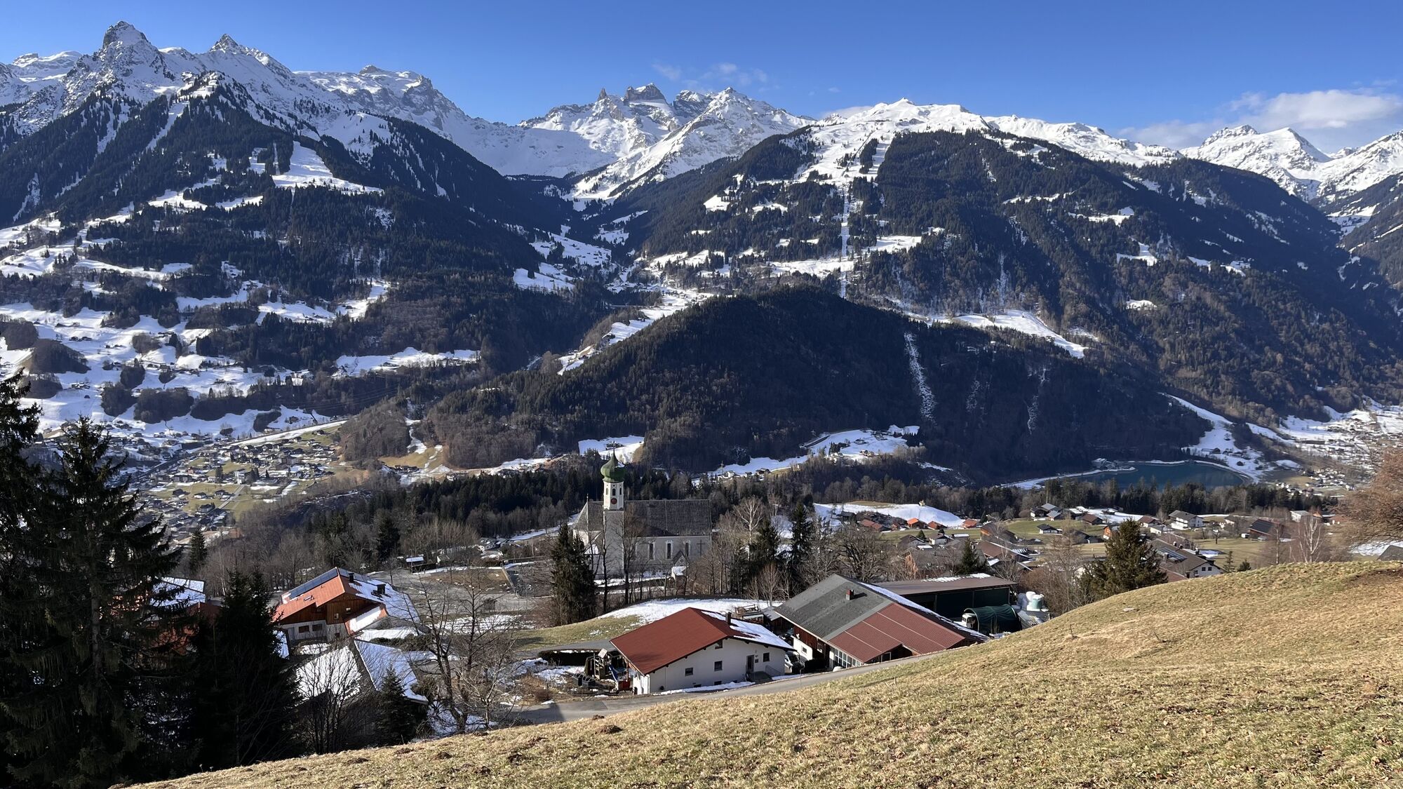
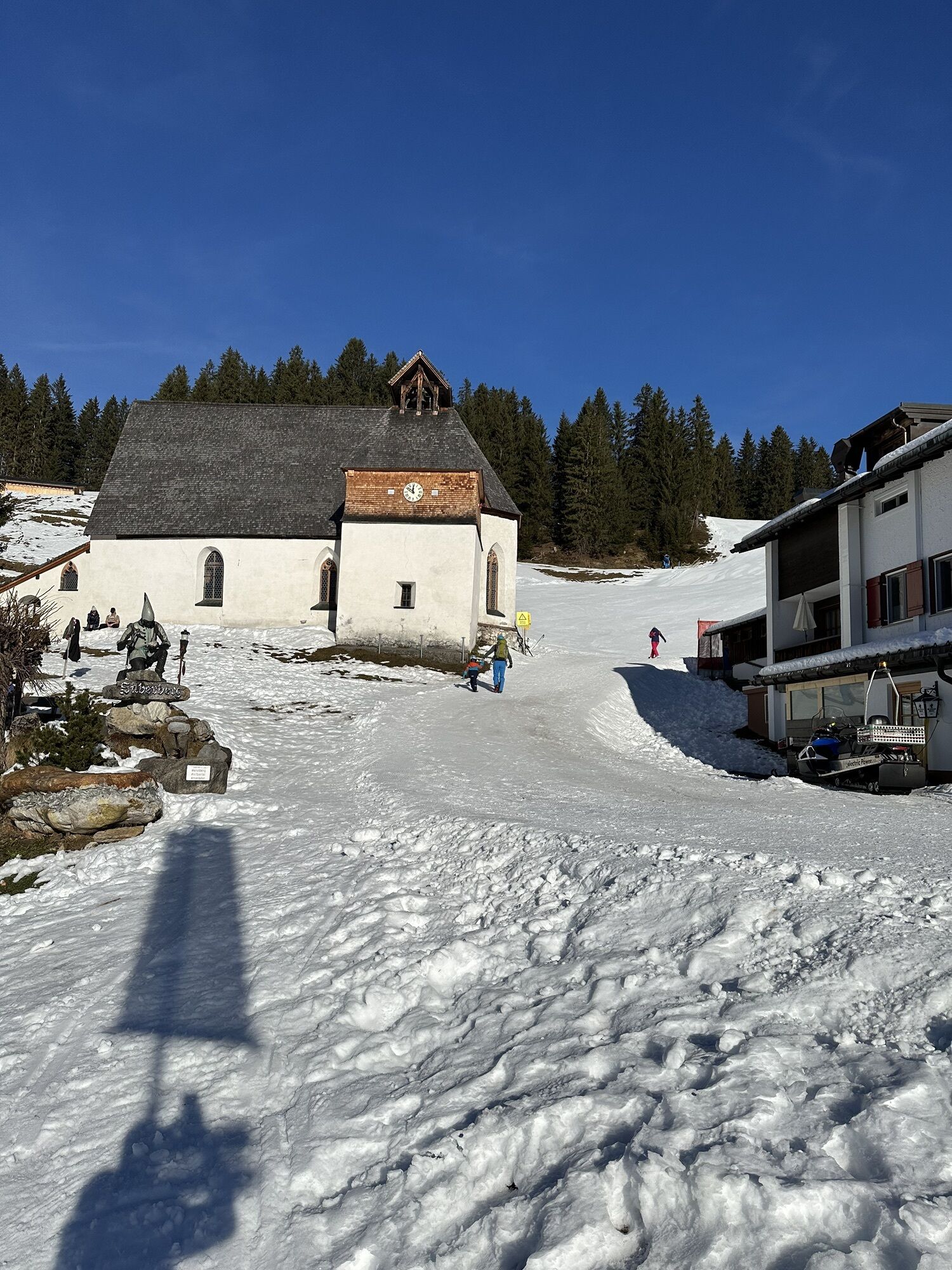
Take a deep breath and enjoy the impressive view of the Rätikon peaks: With the most hours of sunshine in the Montafon, Bartholomäberg at 1,100 meters above sea level is a paradise for sun lovers. As the "cradle of the Montafon," the place impresses with a culture thousands of years old and a fascinating mining history – experience it up close in the historical mine and at archaeological excavations. On the Kristberg stands one of the oldest churches in the Montafon, the St. Agatha Miners' Chapel (1450). Along the forest road and past the upper station of the Kristbergbahn, the path continues with slight ups and downs valleywards. Shortly after you reach the Kneipp facility Siebenbrünnele. Seven springs come together here, inviting you to Kneipp therapy with a wonderful panorama. Follow the path straight on to the Wildried viewpoint. A great viewpoint and another resting place to linger. You will reach Wildried itself shortly after. Then the path leads downhill to Lobsteg. Along the Burtscha stream, the descent through the Wasserstubental begins. Over the snack station Hasahüsli and the alpine inn Fellimännle you follow the parallel flowing Litz into the Silbertal and back to Schruns.
Hunting area notice: In the vicinity of Fritzensee, Falla, Küngsmaisäß, Alpe Latons, and Rellseck you are in a hunting area.
It is therefore recommended to refrain from hiking, (e-)mountain biking, and similar leisure activities in this area from 10.10 to 24.10 between 5 p.m. and 8 a.m., and from 25 October until probably mid-December from 4 p.m. to 8 a.m.
Thank you for your understanding.


From Aktivpark, you cycle gently downhill on the bike path to St. Anton im Montafon. From here, the route follows federal road L95 uphill to Bartholomäberg and further to the Fritzensee turnoff. The route continues on gravel roads past Fritzensee, partly downhill, to Kristberg and further to Wildried. From here it is all downhill on gravel road to Fellimännle and further into the Silbertal. The last part of the route takes you back to Schruns on federal road L188.
Tak
Spare battery, charger, bicycle helmet, day backpack (approx. 20 liters) with rain cover, comfortable sports shoes, if applicable cycling shoes, weather-appropriate and durable clothing in layers, if applicable cycling jersey, if applicable cycling gloves, air pump, bicycle tools, sun and rain protection, provisions and drinking water, water bottle and suitable holder, first aid kit, pocket knife, mobile phone, if applicable mobile phone holder for the handlebar, if applicable headlamp and reflectors, map material
Activity map for (e-)mountain biking
EMERGENCY CALL: 144
112 European emergency call (works with any mobile phone/network)
www.vorarlberg.travel/sicherheitstipps
Take the A14 to the Bludenz/Montafon exit and continue on Montafonerstraße L188 to Schruns. The federal road L188 leads you directly to Aktivpark Montafon, which is on the right side of the road.
Just leave your car behind.
The regional buses operate throughout the Montafon. The main lines run every half hour from Schruns train station.
From here you can easily reach the starting point by bike or ride directly from the station towards Bartholomäberg.
Timetable: www.vmobil.at
Arrival by train to Montafon
The Montafonerbahn runs every half hour from Bludenz station. There are also direct connections from Lindau (D) and Bregenz.
Timetable: www.oebb.at
Parking spaces are located at Aktivpark Montafon in Schruns-Tschagguns.
1
A stop at the Wildried viewpoint is definitely worth it. Here you have a beautiful view over the Silbertal, which you will then descend after a short detour into the Wasserstubental. Not far from there is the Wildried raised bog. A short break here is also worthwhile as it shows its beauty in every season.
Free activity map for (e-)mountain biking available at all Montafon tourism offices.

Kamery internetowe z trasy
-
Bergstation Sonnenkopf
-
Hochjoch Bahn Bergstation
-
Grüneck Bergstation
-
Montafoner Kristbergbahn Bergstation
-
Panoramagasthof Kristberg
-
Panoramagasthof Kristberg
-
Kristberglift mit St. Agatha Kirche
-
Kinderland Skischule Silbertal
-
Matschwitz Mittelstation
-
Bergstation Hochalpila Bahn
-
Silbertal Dorf
-
Innerberg
-
Sücka Schlepplift Talstation
-
Berghof Golm
-
Golfclub Braz
-
Golm - Matschwitz
-
Silvretta-Montafon - Panorama Bahn
-
Golm - Hüttenkopfbahn
-
Golm - Rätikonbahn
-
Bartholomäberg
-
Bartholomäberg
-
Tschagguns
-
Schruns
-
Bartholomäberg - Ferienhotel Fernblick
-
Wormserhütte
-
Wormserhütte
-
Kapellbahn
-
Schlepplift Innerbach
-
Bartholomäberg
-
Bartholomäberg - Ferienhotel Fernblick
-
Bartholomäberg - Ferienhotel Fernblick
-
Bartholomäberg - Ferienhotel Fernblick
Uzyskaj wgląd
Zawsze na żywo z ponad 9 500 kamer internetowych. bergfex Jako użytkownik Pro, możesz teraz zobaczyć odpowiednie kamery internetowe dla wielu wycieczek w aplikacji wycieczki od. Pozwala to na bezpośredni podgląd aktualnych warunków.
Popularne wycieczki w okolicy
-
5,0
Ski tour to the Lindauer Hut (1,744 m)
światłoWycieczka narciarska 14,0 km -
4,7
Kristberg - Wasserstubental - Silbertal
światłoWędrówka 13,8 km -
4,6
Over the historic mine and Fritzensee to Rellseck
średniWędrówka 7,25 km -
4,4
Golmer Lakes Trail
średniTrasa tematyczna 7,28 km -
4,3
Golmerbahn Bergstaion Grüneck - Golmer Höhenweg - Geißspitze - Lindauer Hütte - Latschau
średniWędrówka 11,5 km -
4,9
Alpgues Runde
średniWędrówka 9,21 km -
4,1
Stuben - Stubner See - Kaltenberghütte - Stuben
średniWędrówka 9,90 km -
4,8
Braunarlspitze
ciężkiWędrówka 16,6 km -
4,6
Muttersberg - Fraßenhütte - Fraßen - Tiefenseesattel Nüziders, Österreich
średniWędrówka 10,1 km -
3,0
Bergstation Grüneck Golmerbahn - Alpe Latschätz - Lindauer Hütte - Latschau
światłoWędrówka 11,1 km
Wędrówki i tropienie


Nie przegap ofert i inspiracji na następne wakacje
Twój adres e-mail została dodana do listy mailingowej.





