






Via ferrata Gauablick
Poziom trudności: C
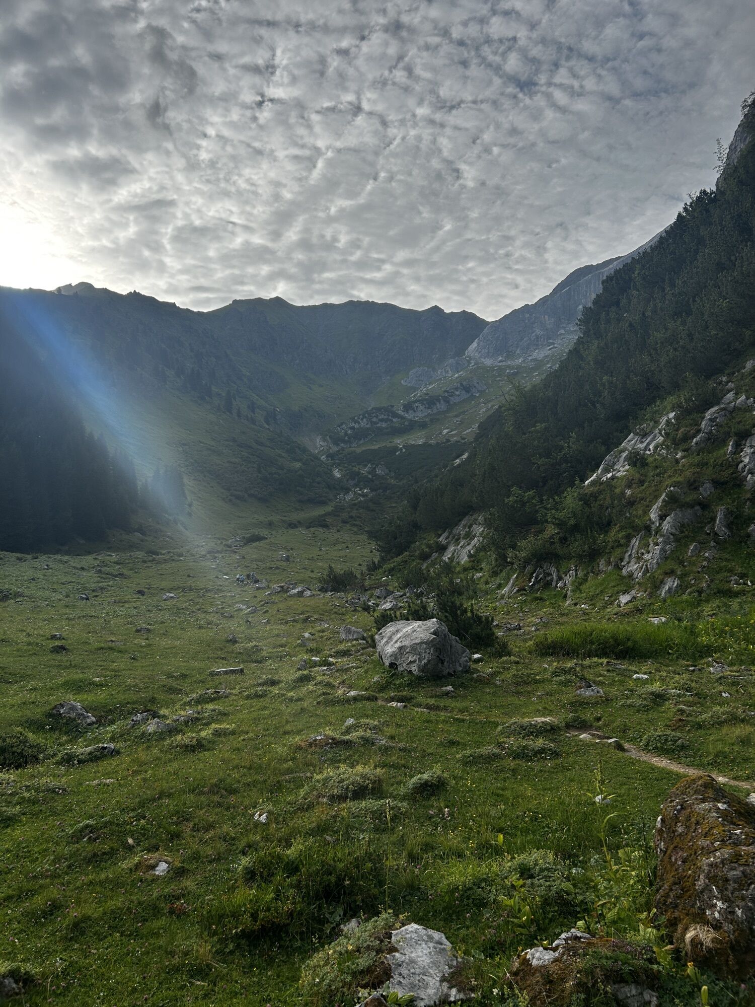
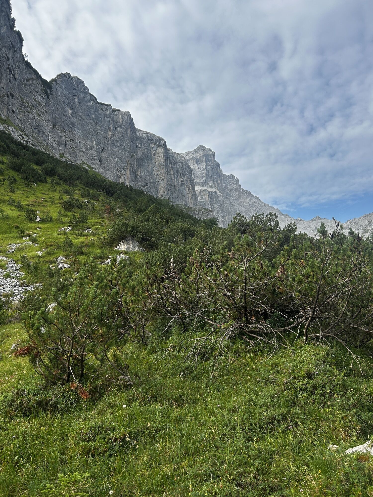
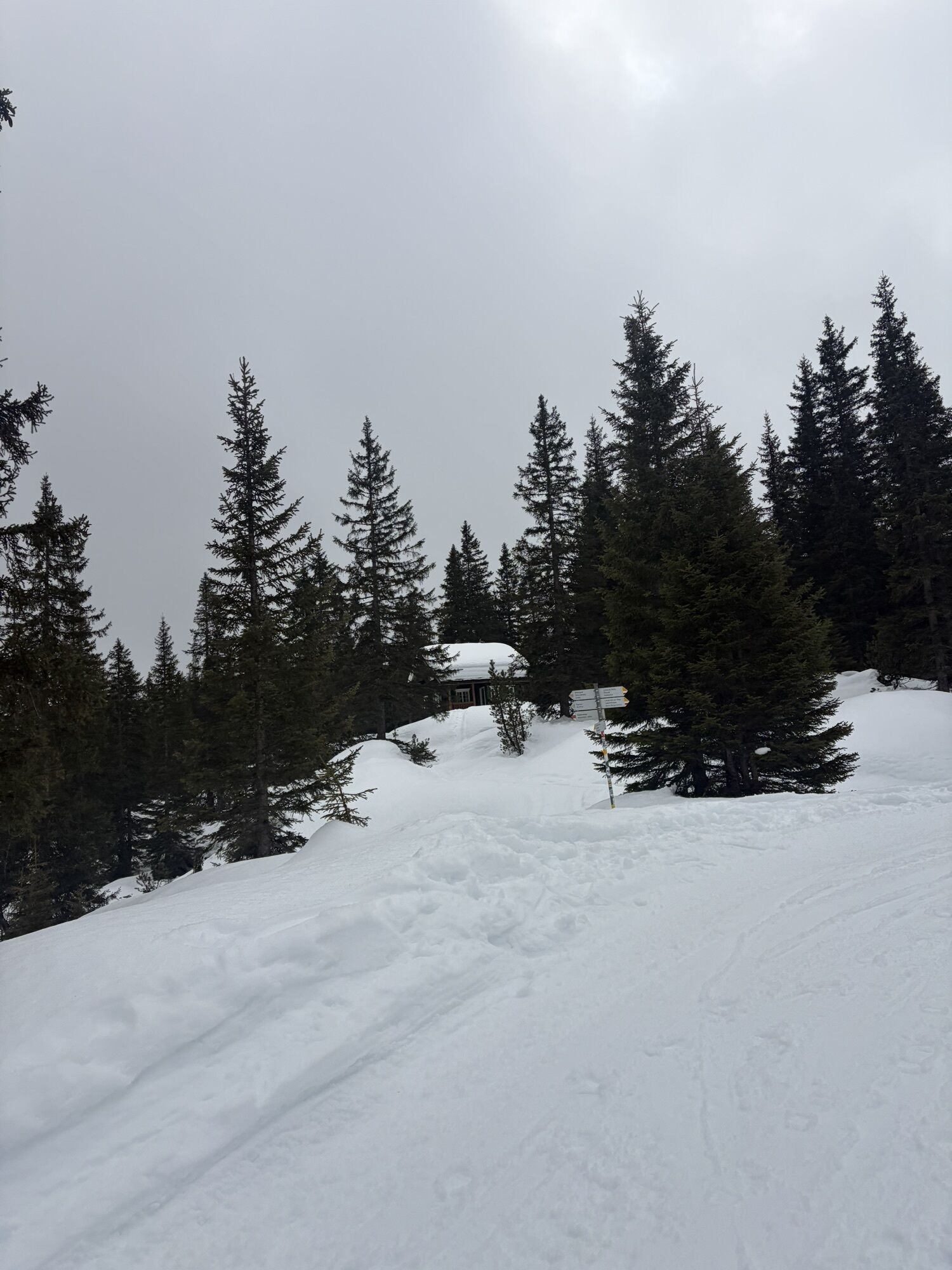
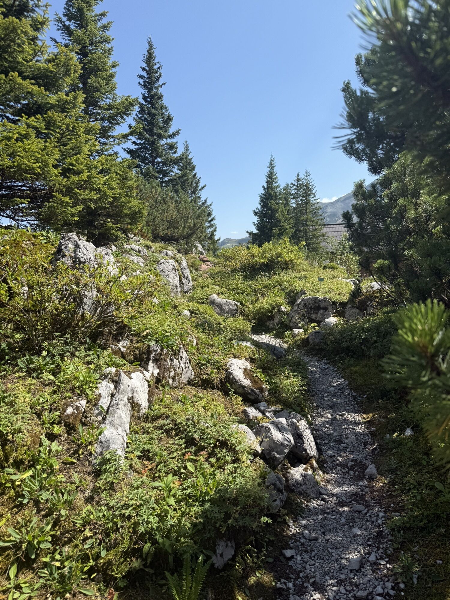
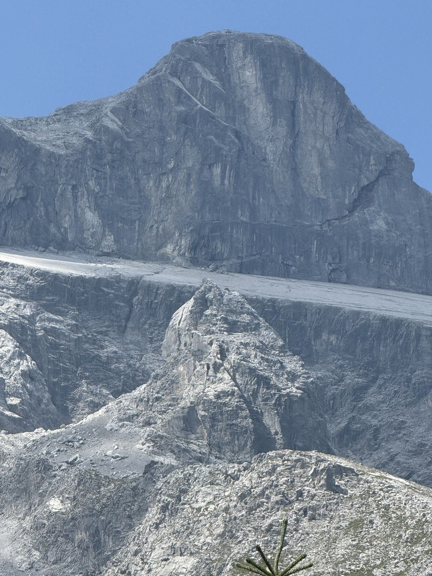
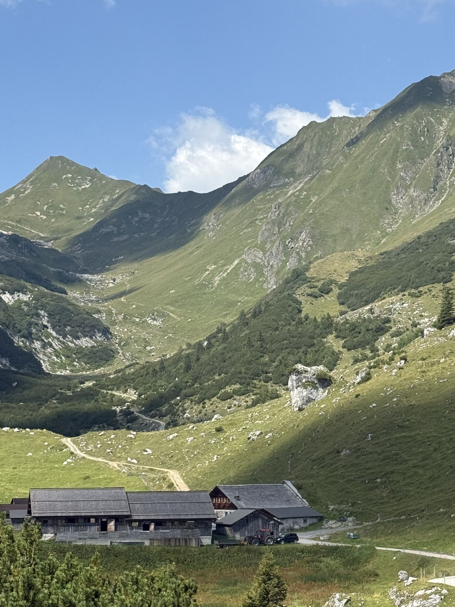

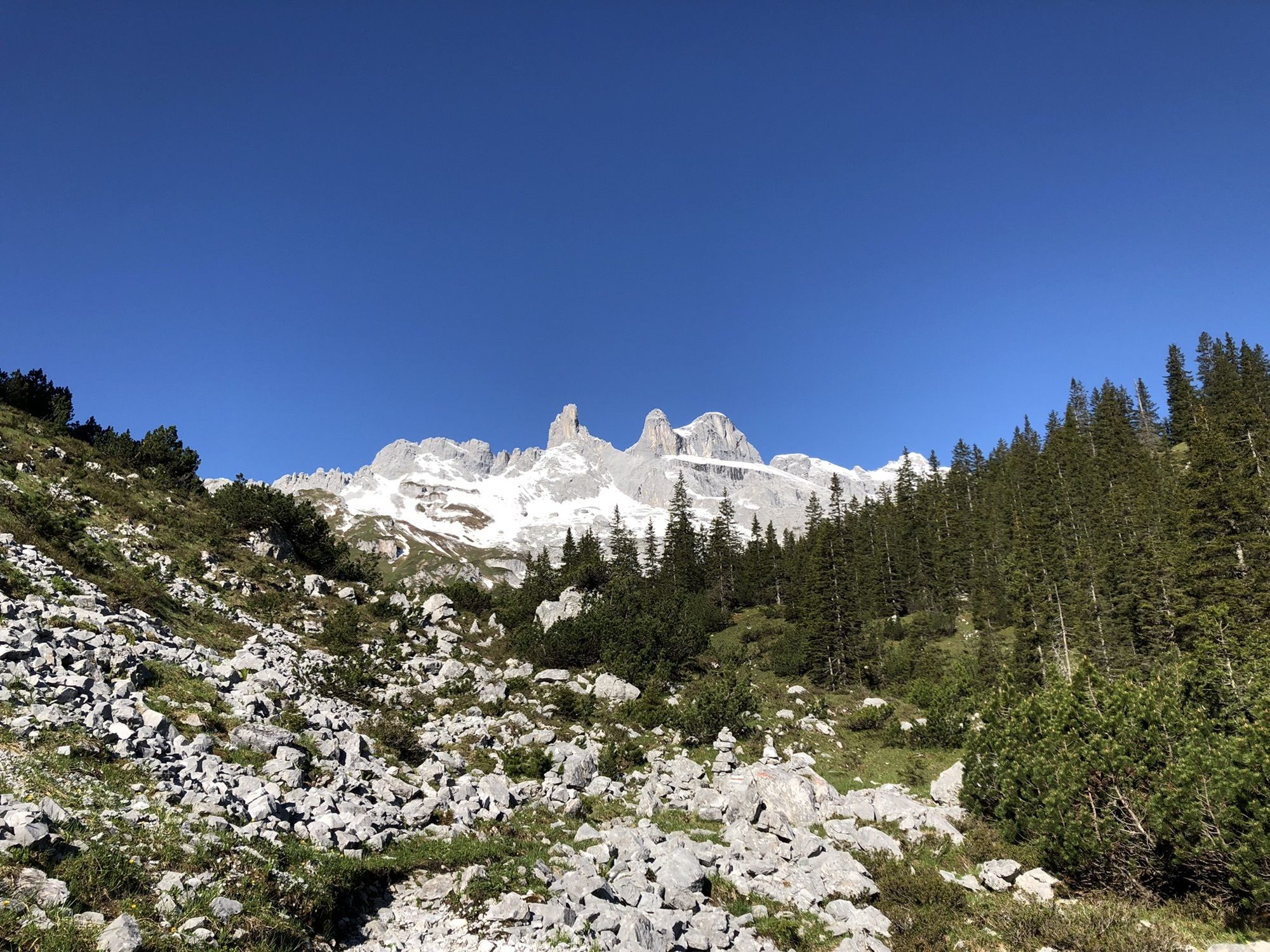
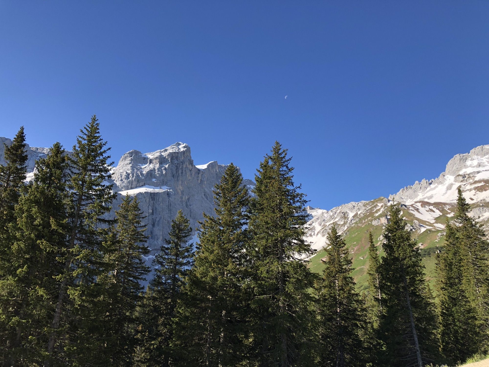
The via ferrata Gauablickhöhle promises a truly unique experience, partly running inside an ancient natural cave. Already on the way to the start, you are surrounded by the mighty walls of Drusenfluh,...
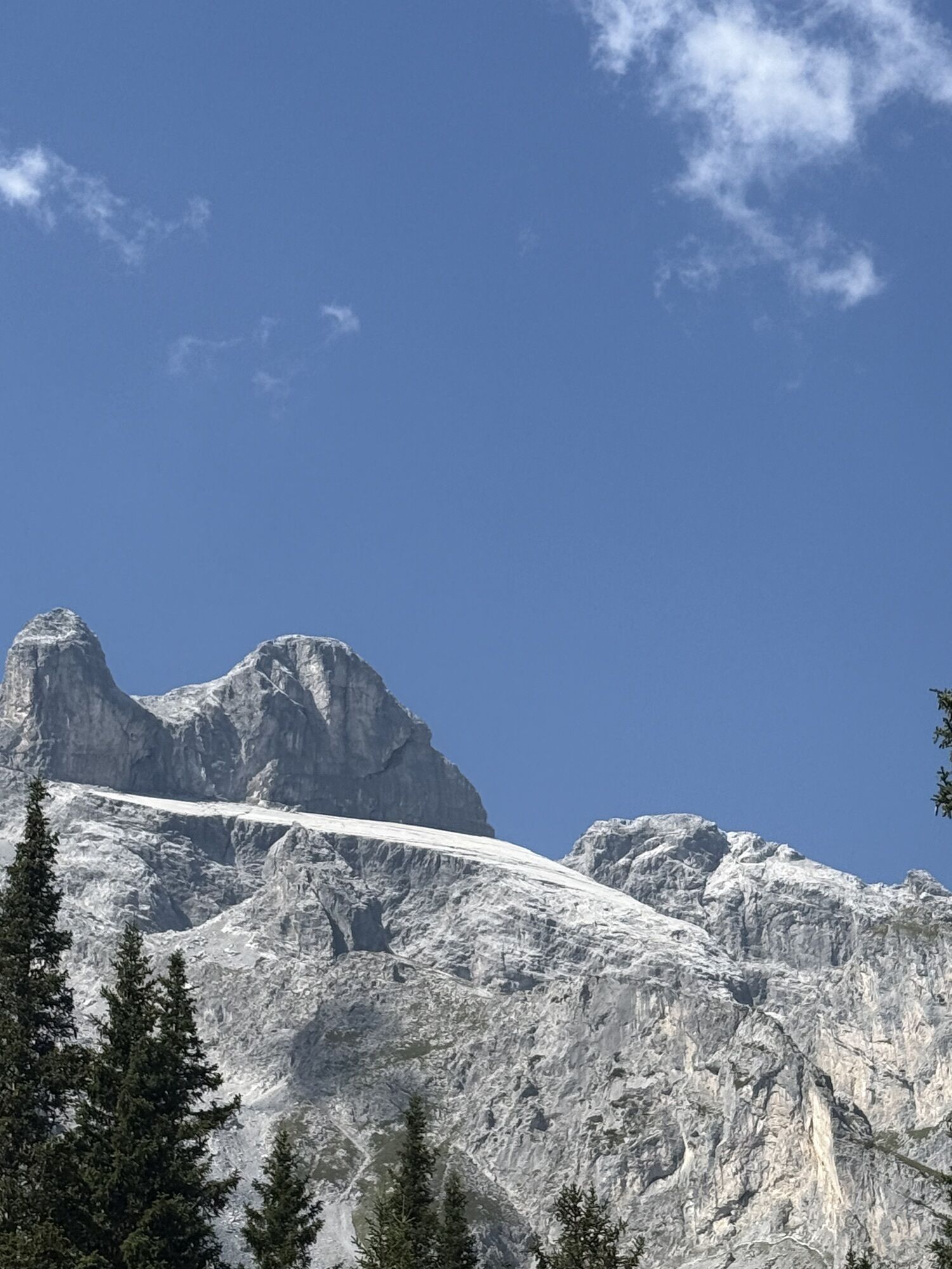
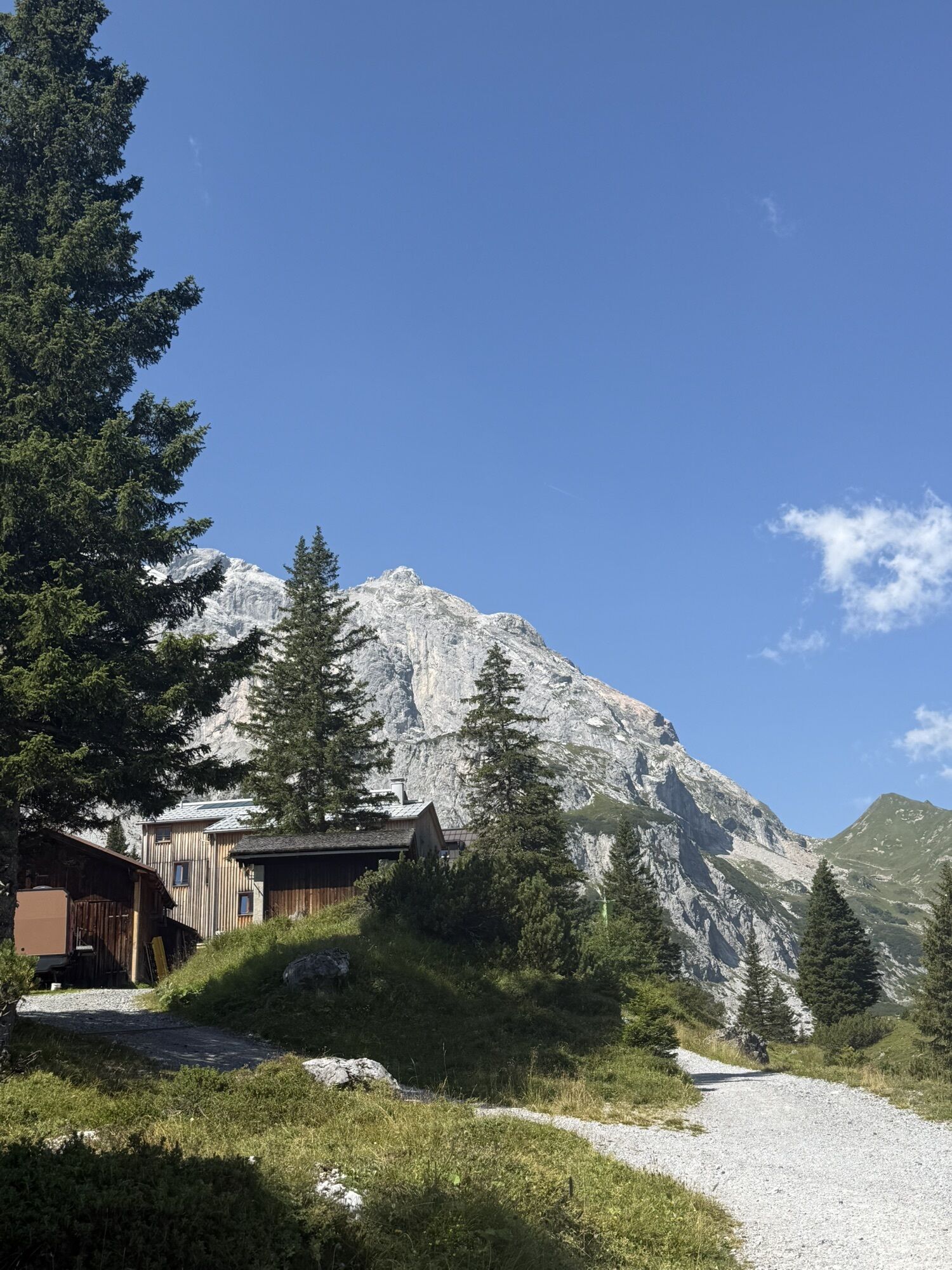
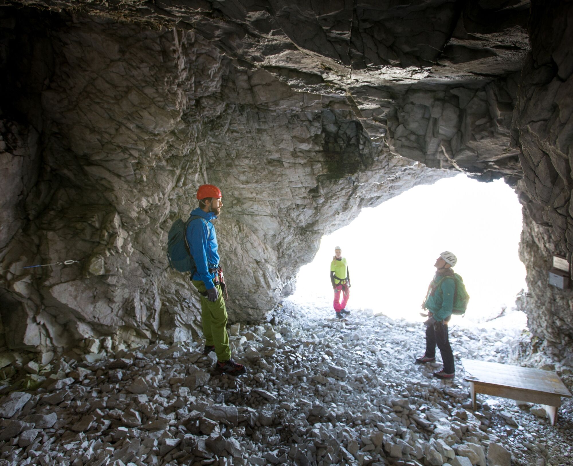
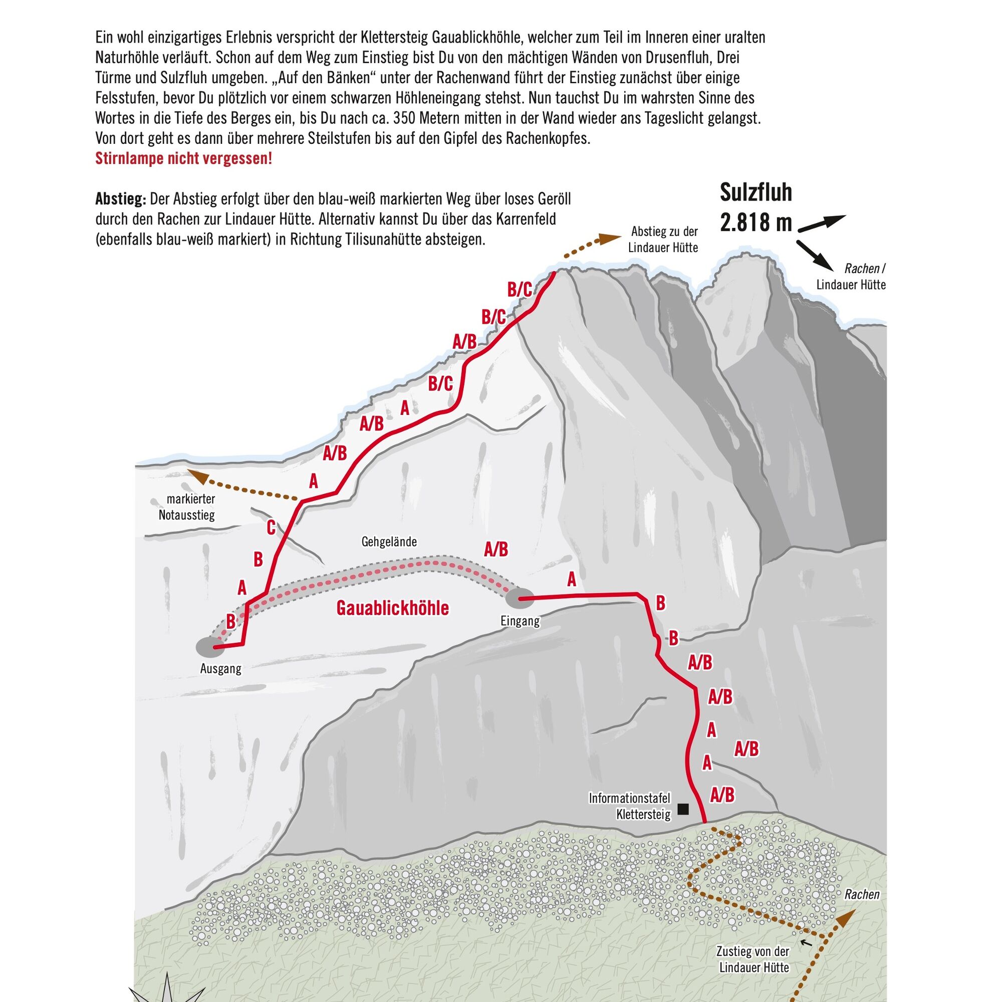
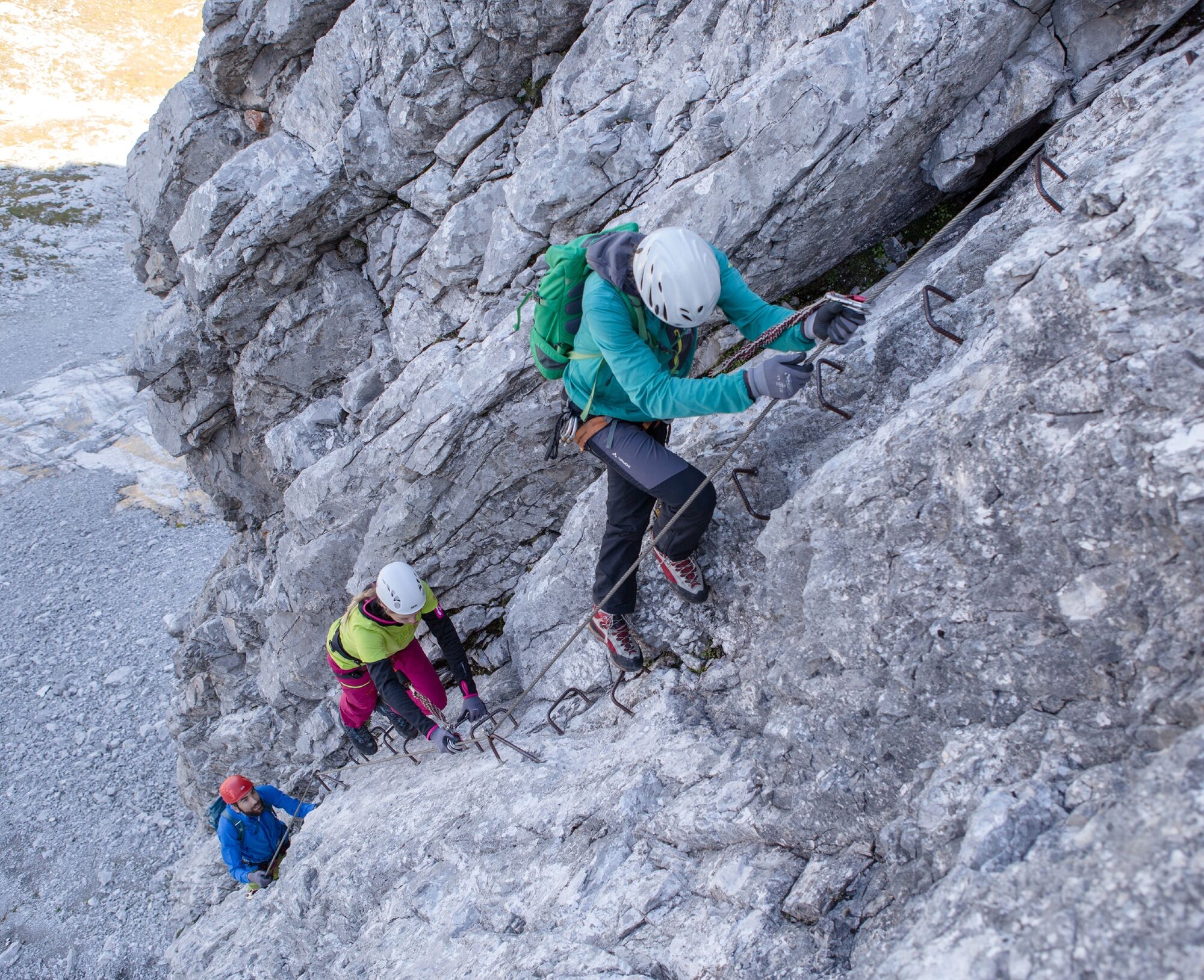
The via ferrata Gauablickhöhle promises a truly unique experience, partly running inside an ancient natural cave. Already on the way to the start, you are surrounded by the mighty walls of Drusenfluh, Drei Türme, and Sulzfluh. "On the benches" under the Rachen wall, you first climb over some rock steps before suddenly standing in front of a black cave entrance. Now you literally dive into the depths of the mountain, and after about 350 meters, you come back into the daylight right in the wall. From there, you go over several steep steps up to the summit of the Rachenkopf.
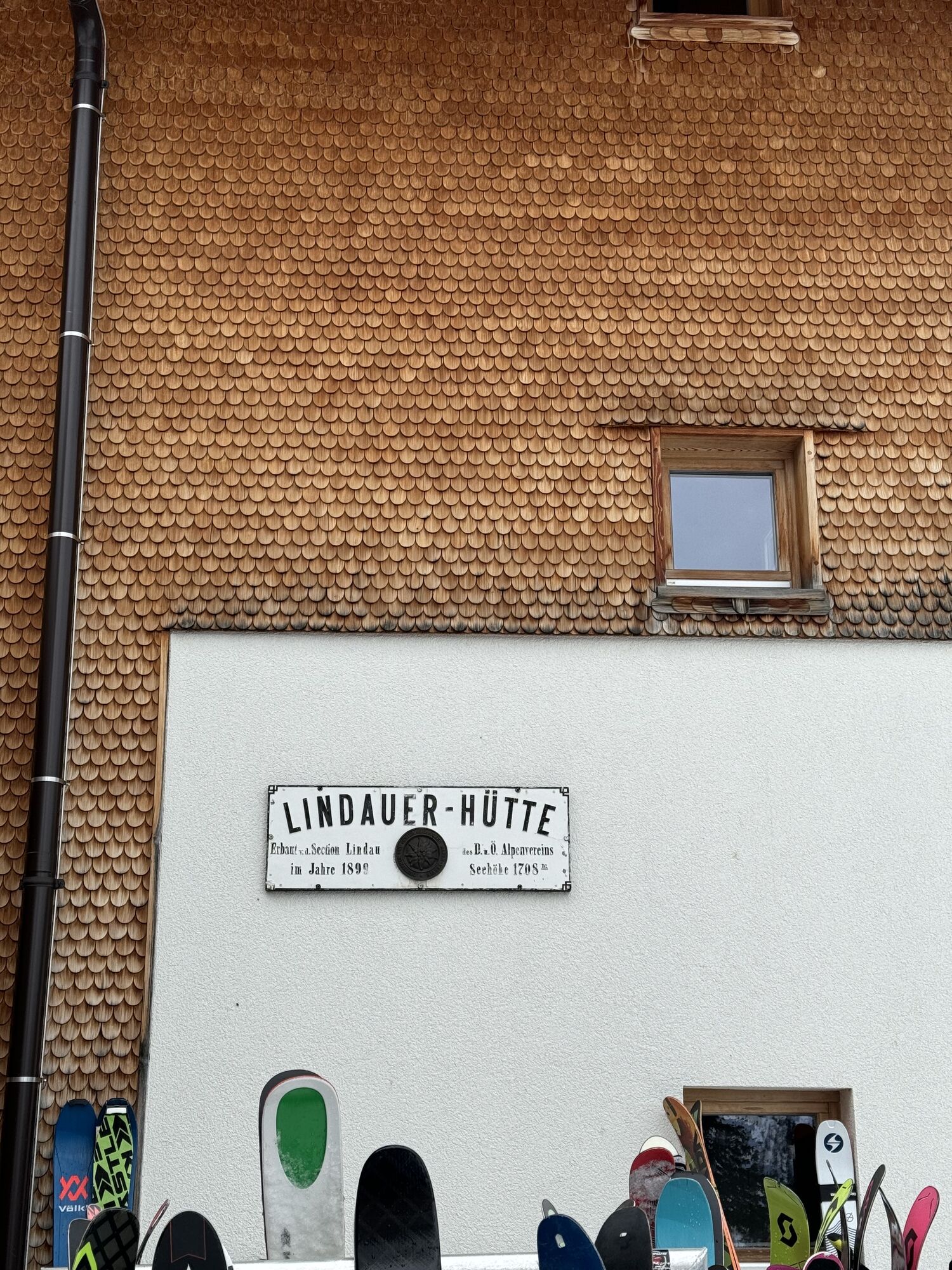
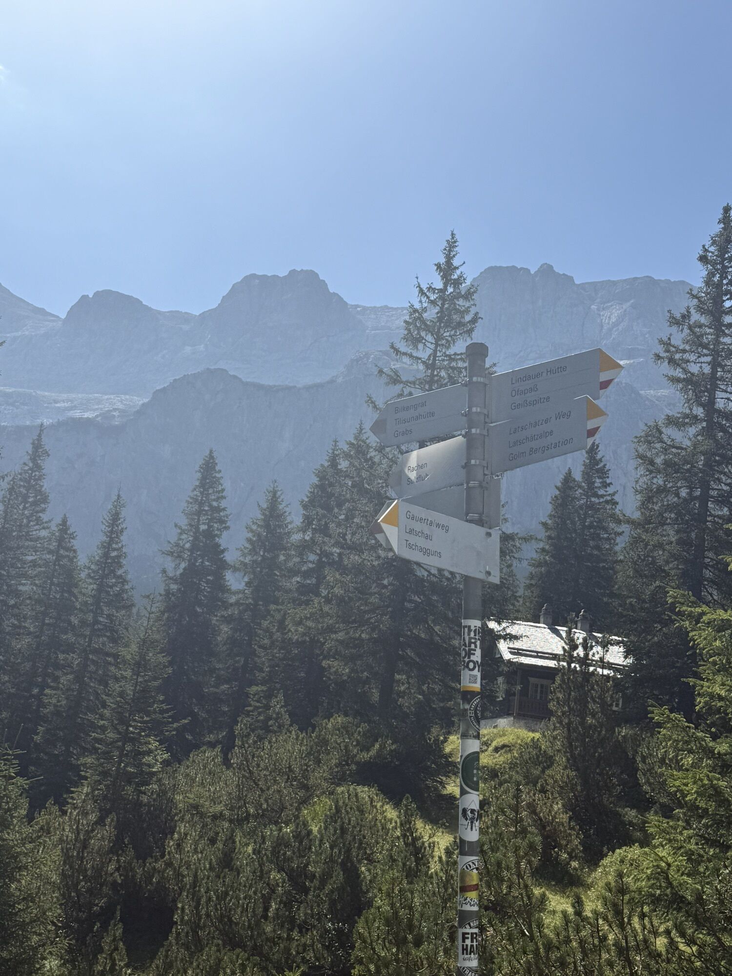
Approach: From the Lindauer Hut, follow the path toward Sulzfluh-Rachen and via ferrata (signposted) to the large plateau "On the benches." At about 2,050 meters elevation, a path branches off to the left that leads you to the start of the via ferrata.
Descent: The descent takes place via the blue-white marked path over loose scree through the Rachen to the Lindauer Hut. Alternatively, you can descend over the scree field (also blue-white marked) toward the Tilisunahütte.

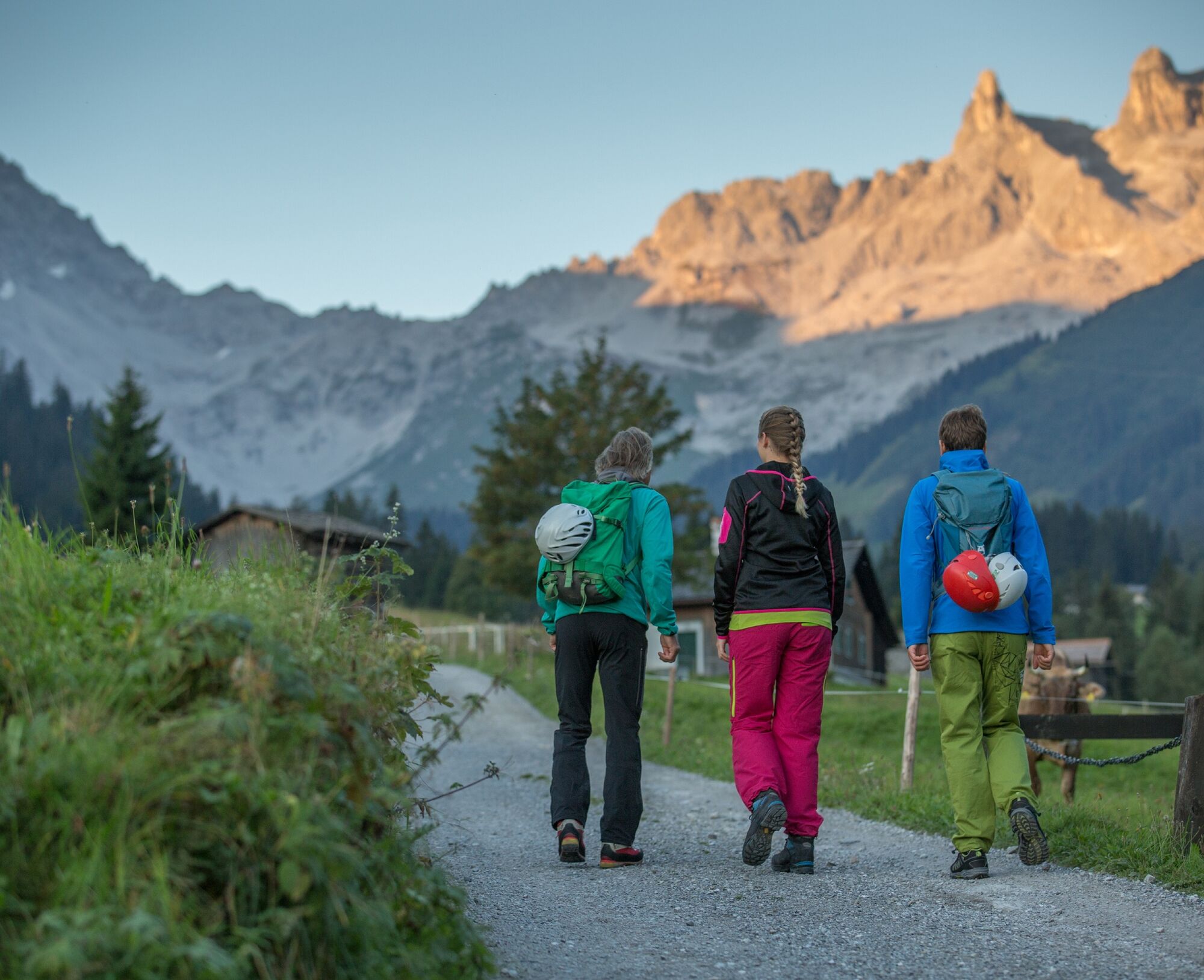
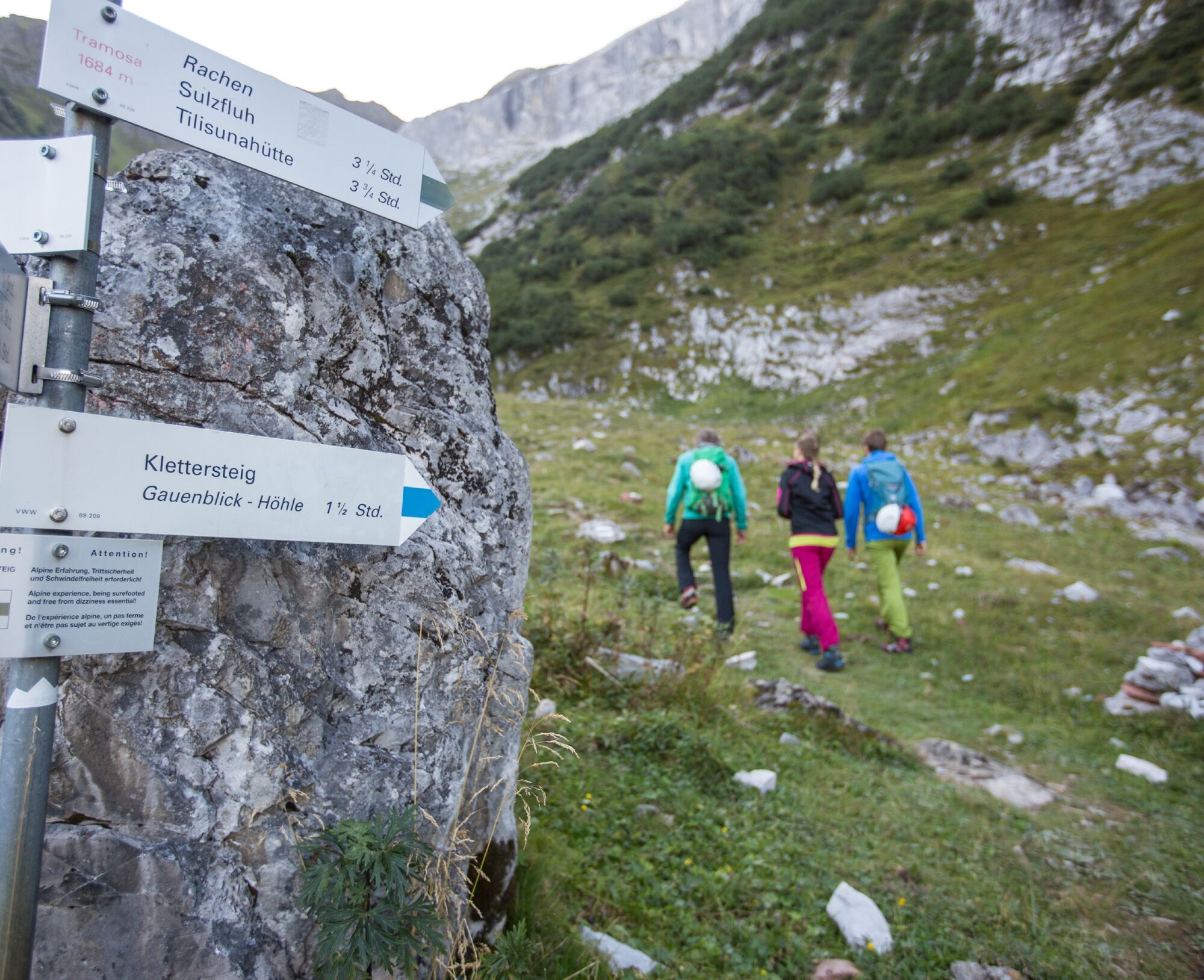
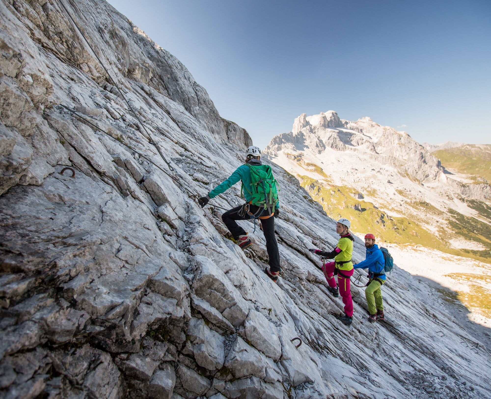
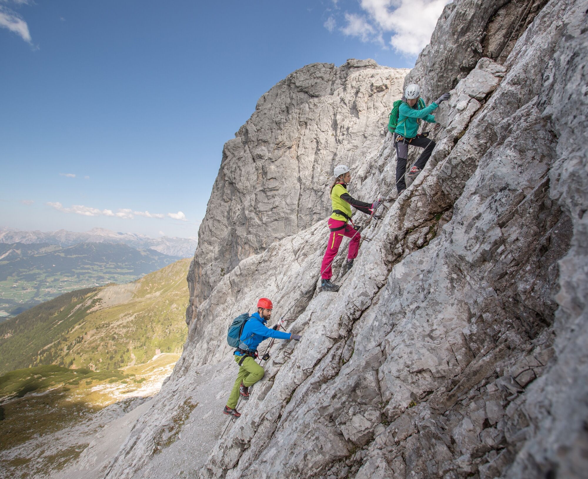
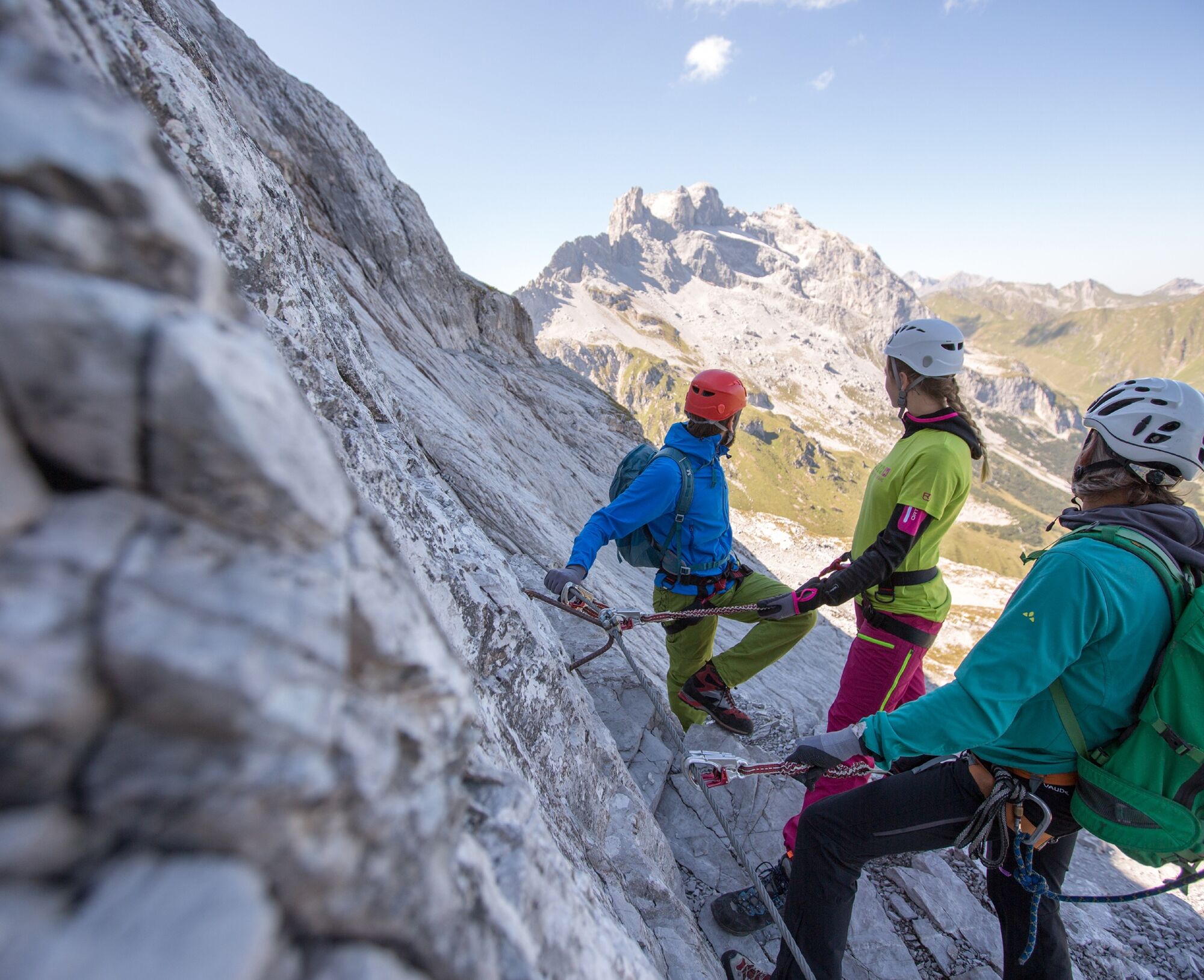
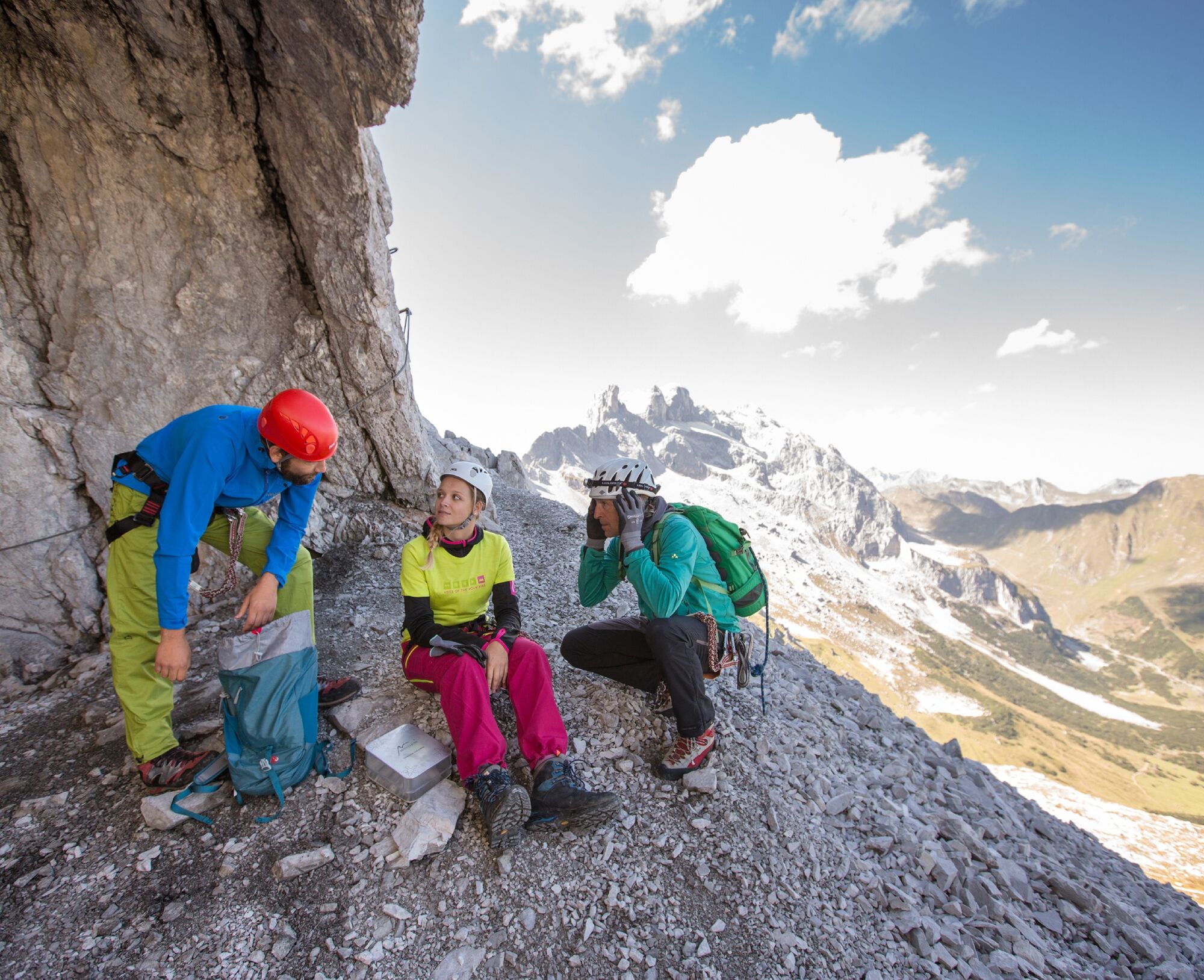
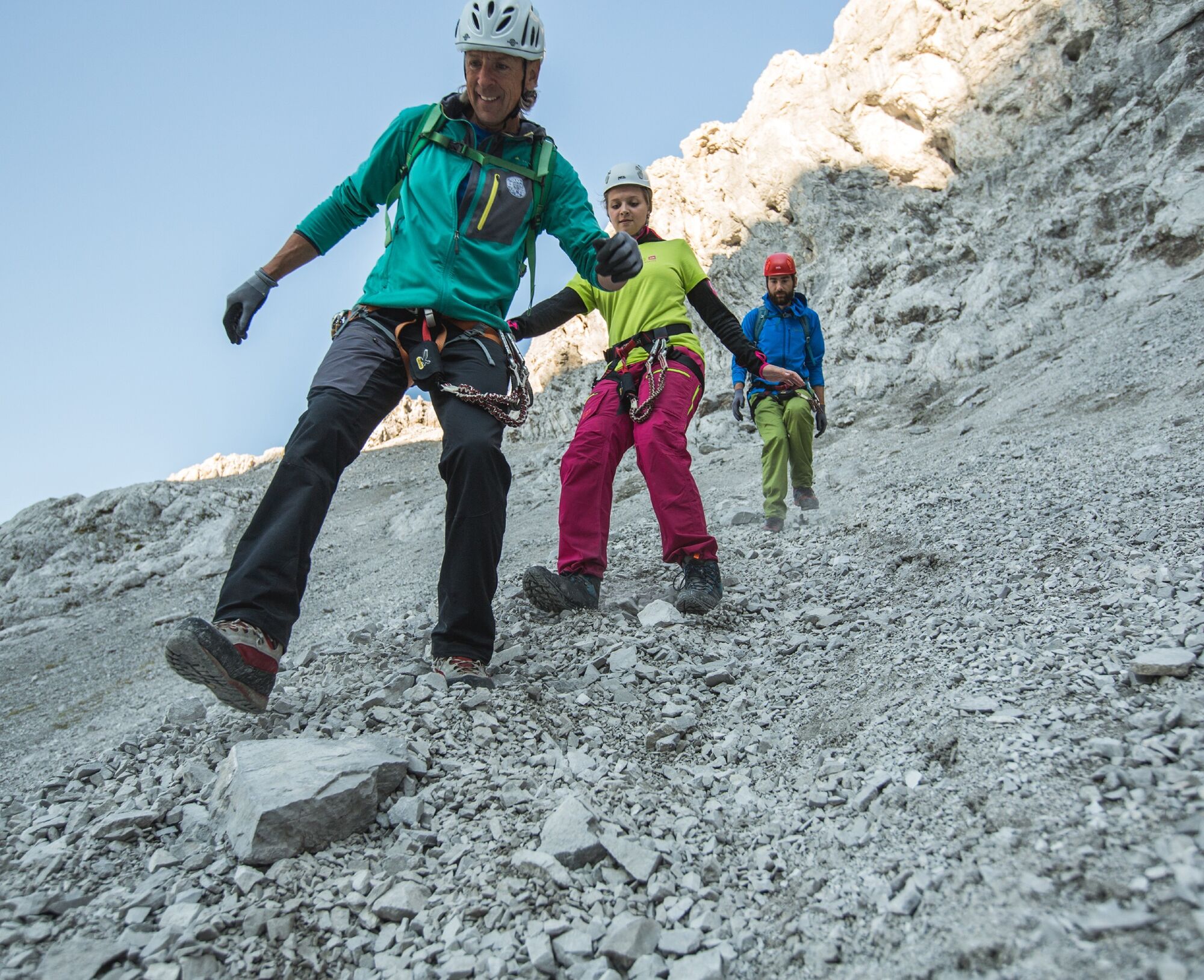
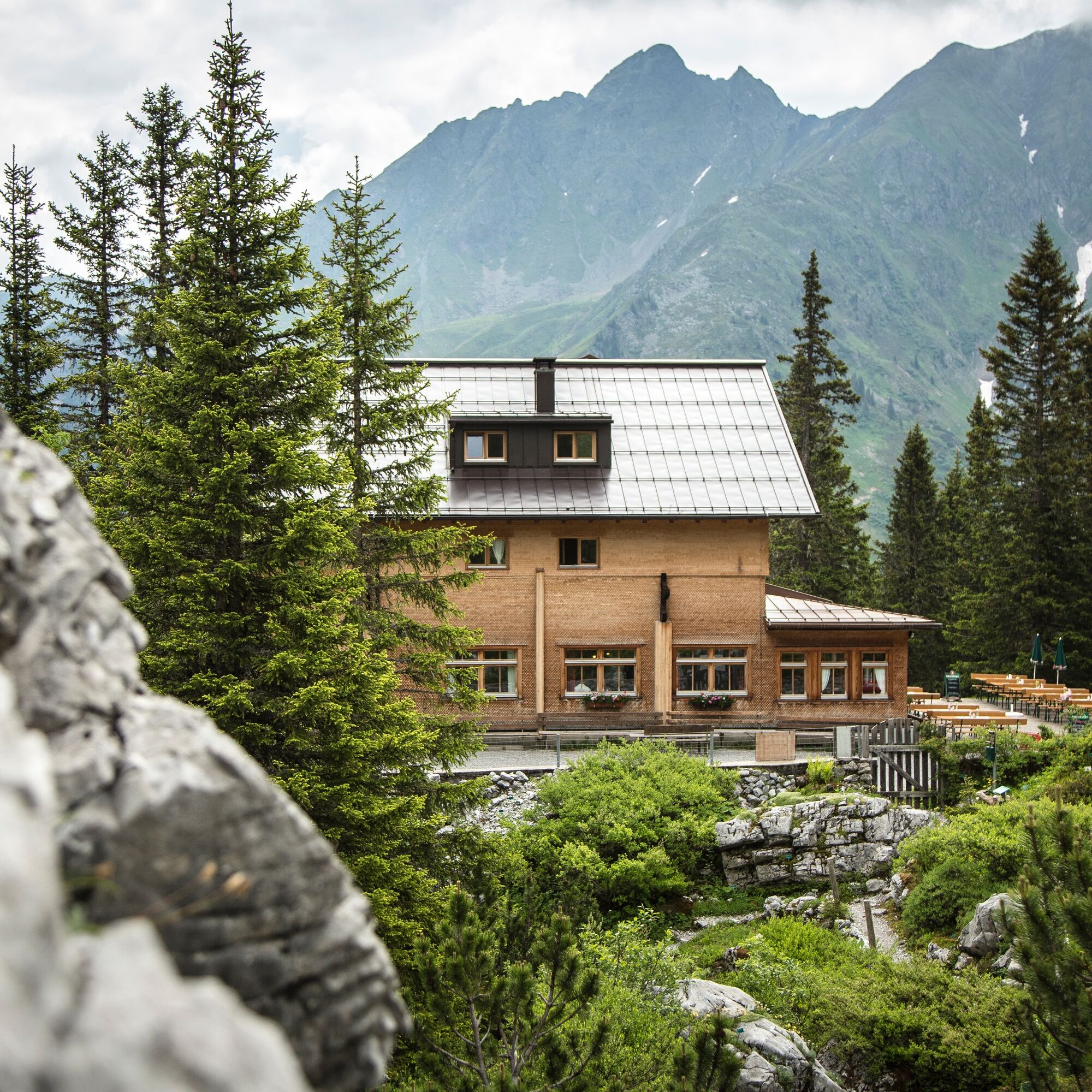
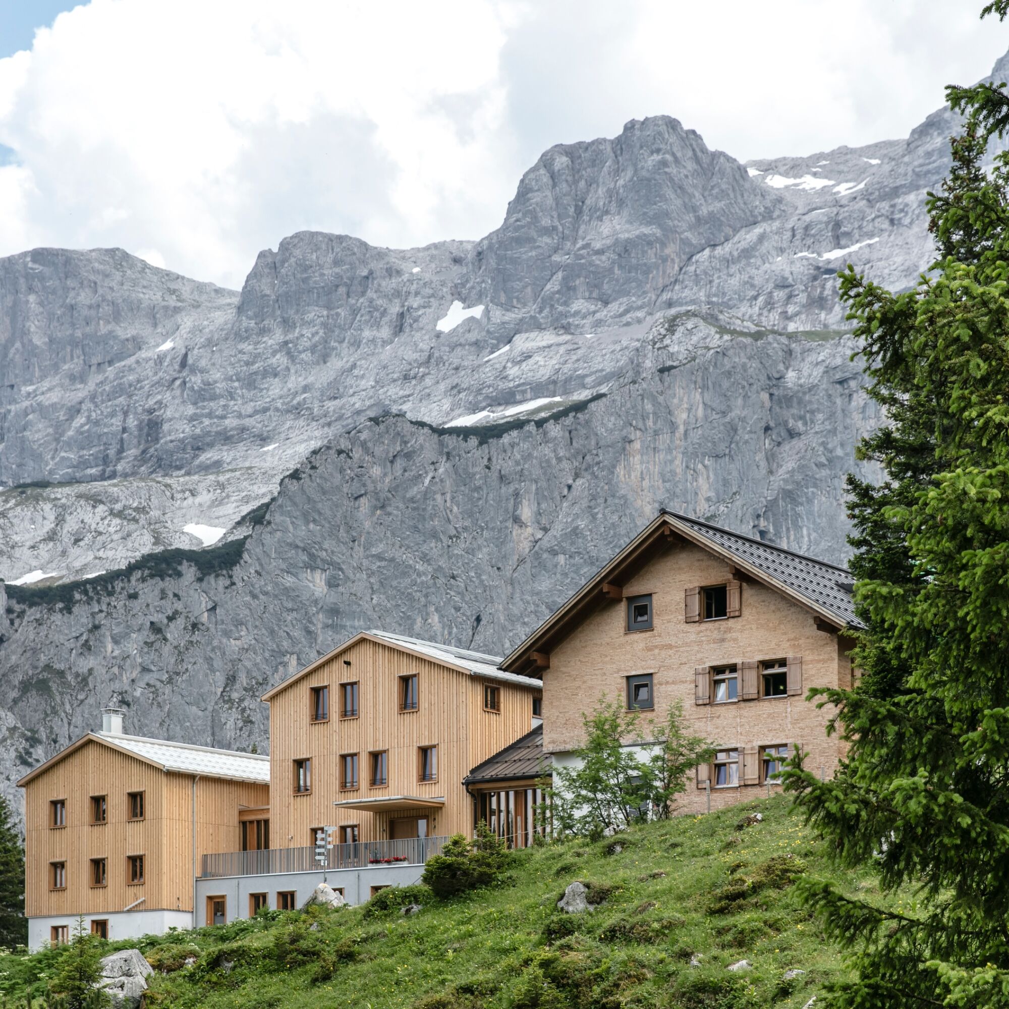
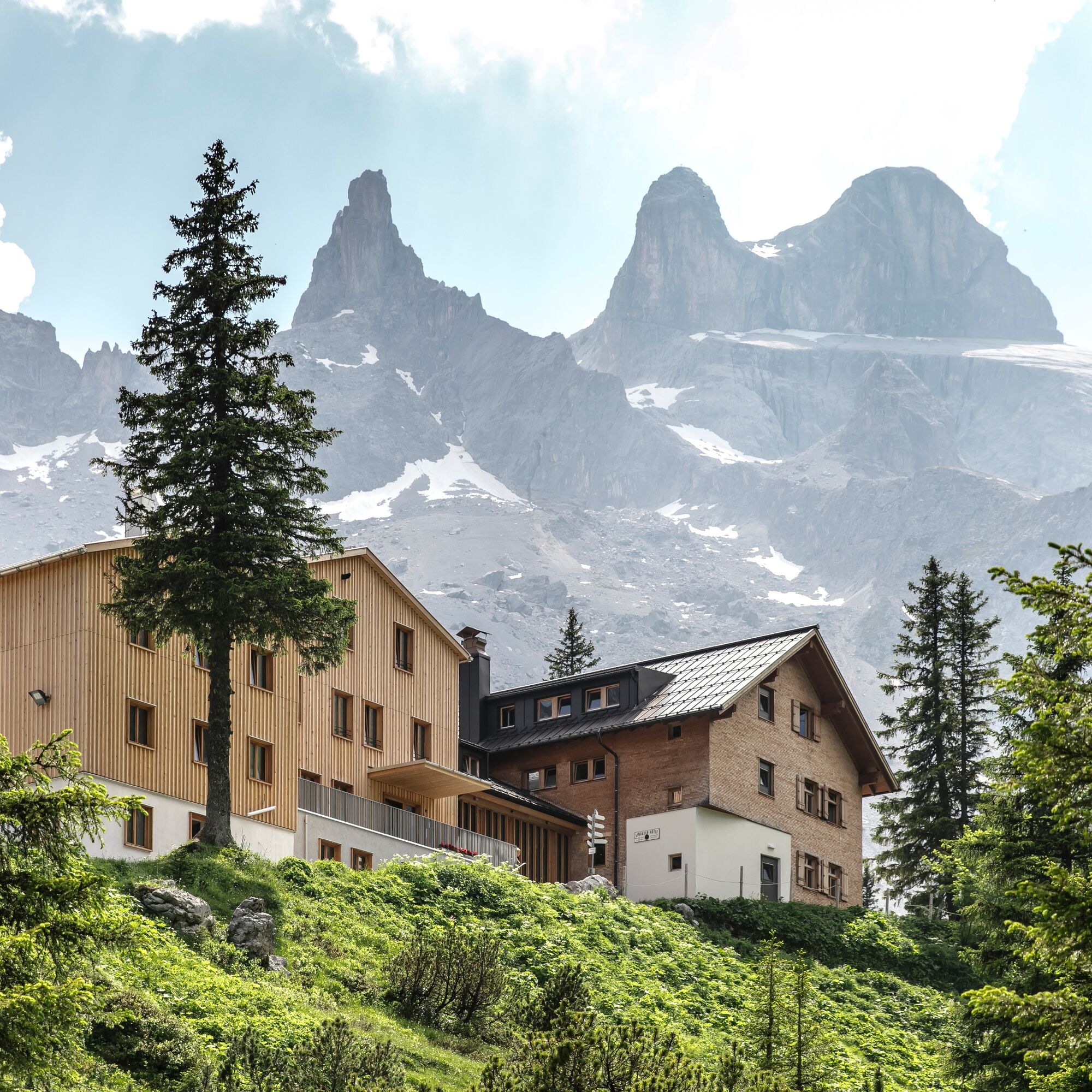

A hiking trail (approx. 6 km and 750 m elevation gain) leads from Latschau to the Lindauer Hut. Since the route is very long for one day, we recommend an overnight stay at the Lindauer Hut. To reach the start, follow the signpost "Via ferrata Gauablickhöhle" from the hut. First, it goes downhill toward the east, then uphill to the right toward "Rachen Sulzfluh." At about 2,050 m, the start is on the left (yellow sign).
Those who still have the desire and energy can also summit the Sulzfluh. From here, you still have about 1.5 hours and 400 vertical meters to overcome. The descent goes over loose scree through the Rachen back to the Lindauer Hut.
Complete climbing equipment (harness including via ferrata set, helmet, and gloves) as well as proper footwear (sturdy ankle-high mountain boots with good tread) are absolutely necessary; additionally, you need a headlamp for this via ferrata!
You should also always carry a backpack with provisions, sun and/or rain protection, and a first aid kit.
Via ferrata sets rental
EMERGENCY CALL:
140 Alpine emergencies Austria-wide
144 Alpine emergencies Vorarlberg
112 Euro emergency number (works with any mobile phone/net)
www.vorarlberg.travel/sicherheitstipps
On the A14 to the Bludenz/Montafon exit, then on Montafonerstraße L188 to Tschagguns and further to the hiking parking lot in Latschau.
Just leave your car parked
The regional buses operate throughout Montafon. The main lines run every half hour from Schruns station.
Bus stop at the start/finish of the route: Latschau Golmerban/ Line 601 (walkway to/from Lindauer Hut)
Timetable: www.vmobil.at
Arrival by train to Montafon
From Bludenz station, the Montafonerbahn runs hourly (sometimes every half hour). There are also direct connections from Lindau (D) and Bregenz.
Timetable: www.oebb.at
Hiking parking lot Latschau (paid)
C
The via ferrata is very well secured but due to the long ascent and descent, it is only conditionally suitable for children and beginners.
Important: Don't forget a headlamp, because without light it is really absolutely dark in the cave! From the exit, you can also climb the summit of the Sulzfluh in about one hour.
Uzyskaj wgląd
Zawsze na żywo z ponad 9 500 kamer internetowych. bergfex Jako użytkownik Pro, możesz teraz zobaczyć odpowiednie kamery internetowe dla wielu wycieczek w aplikacji wycieczki od. Pozwala to na bezpośredni podgląd aktualnych warunków.
Popularne wycieczki w okolicy
-
5,0
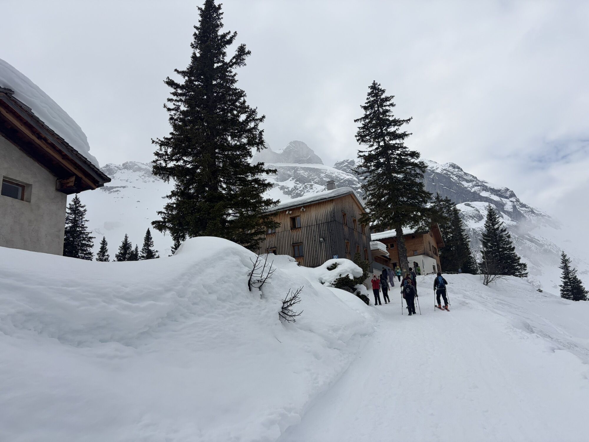
Ski tour to the Lindauer Hut (1,744 m)
światłoWycieczka narciarska 14,0 km -
4,8
Smuggler’s path
średniTrasa tematyczna 8,60 km -
5,0
Bürs, Bürserschlucht Bürs, Vorarlberg
średniWędrówka 5,31 km -
4,6
Over the historic mine and Fritzensee to Rellseck
średniWędrówka 7,25 km -
4,4
Golm-Rundwanderweg im Rätikon
średniTrasa tematyczna 7,28 km -
4,9
Douglasshütte, Lünersee, Gafalljoch Brand bei Bludenz, Vorarlberg
światłoWędrówka 9,16 km -
4,9
Douglashütte - Schesaplana
średniWędrówka 7,31 km -
4,5
Madrisella summit path
średniTrasa tematyczna 10,8 km -
4,3
Golmerbahn Bergstaion Grüneck - Golmer Höhenweg - Geißspitze - Lindauer Hütte - Latschau
średniWędrówka 11,5 km -
4,9
Alpgues Runde
średniWędrówka 9,21 km
Wędrówki i tropienie


Nie przegap ofert i inspiracji na następne wakacje
Twój adres e-mail została dodana do listy mailingowej.





