






Saulakopf via ferrata
Poziom trudności: C/D
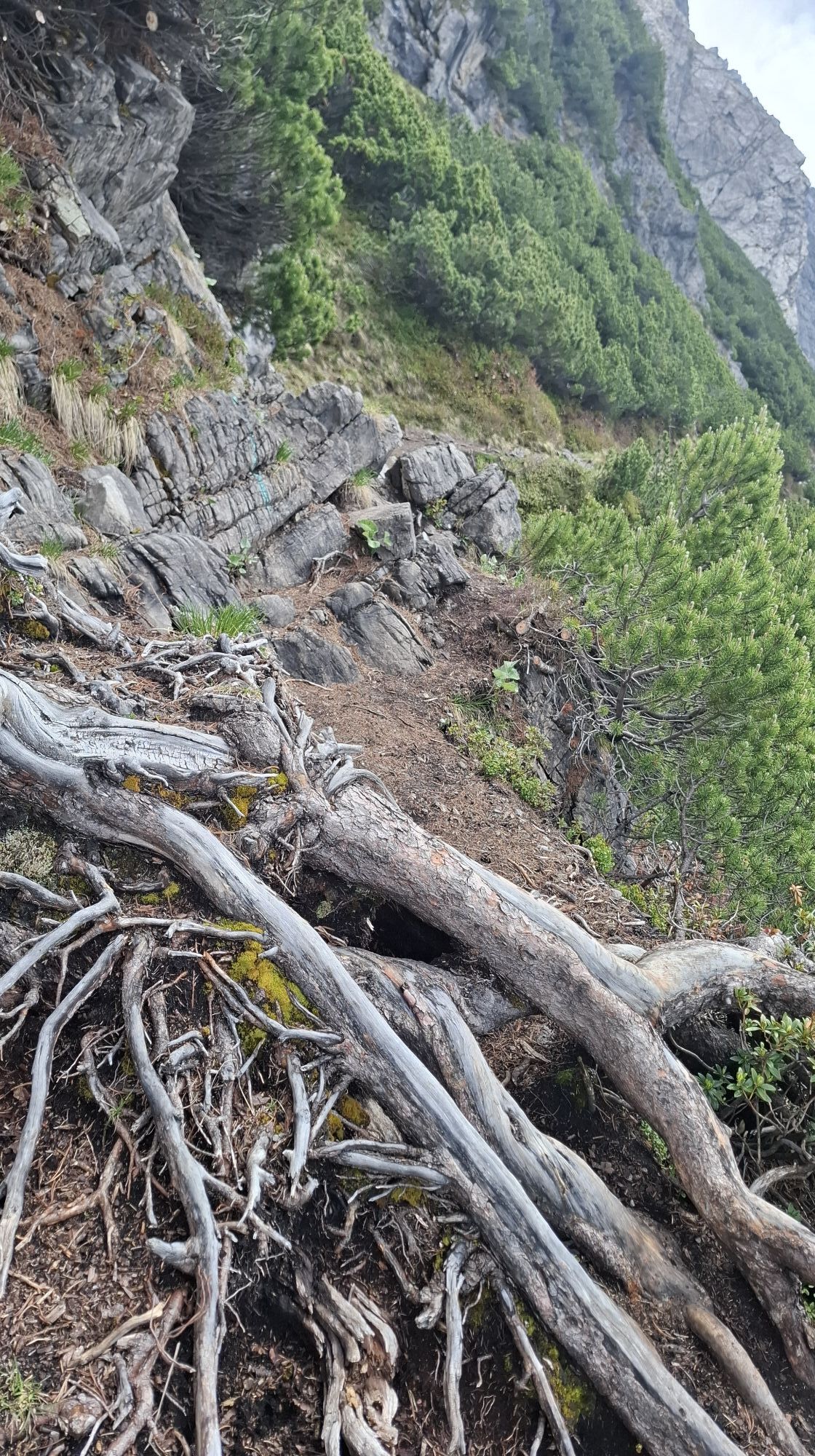
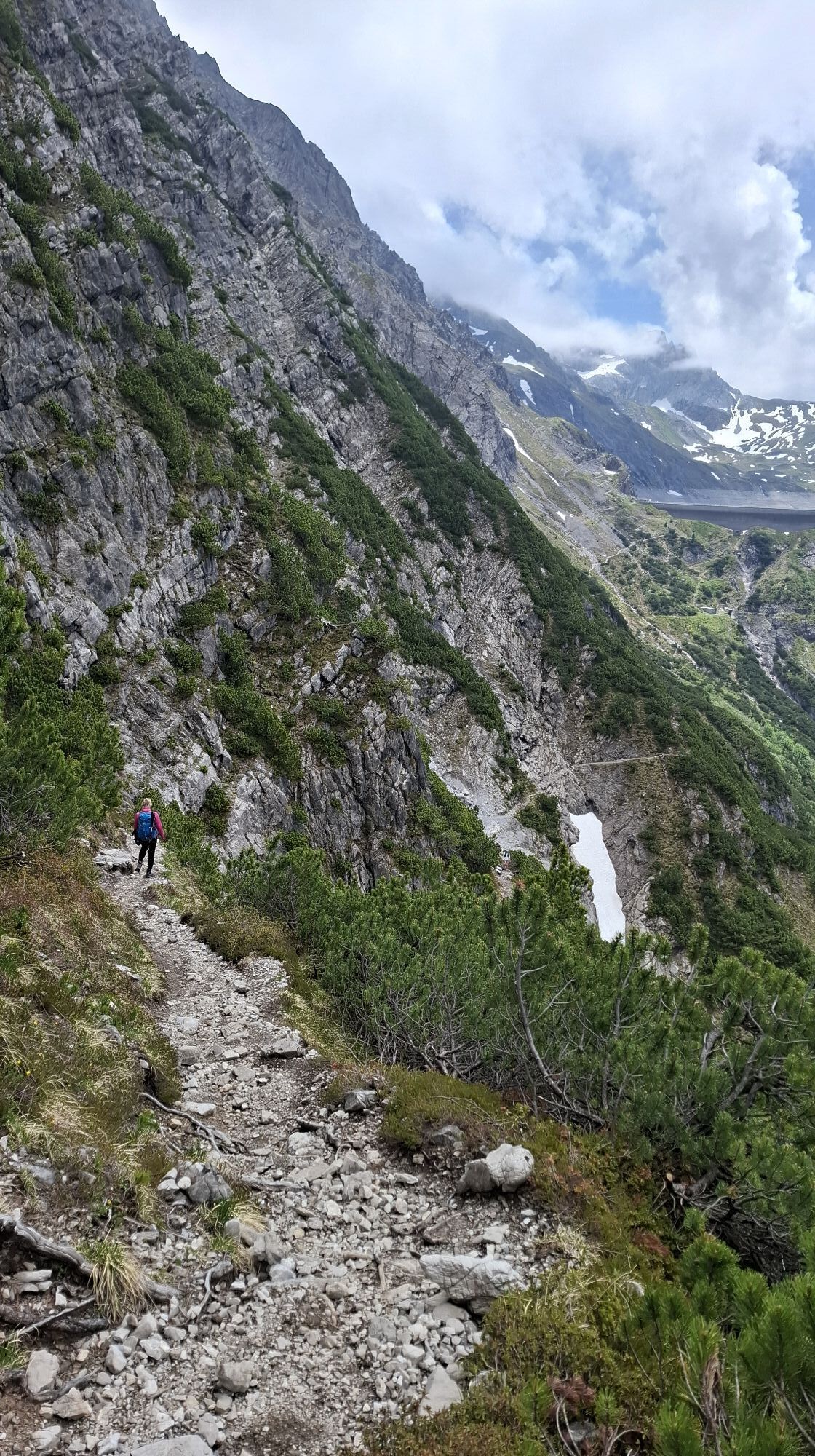
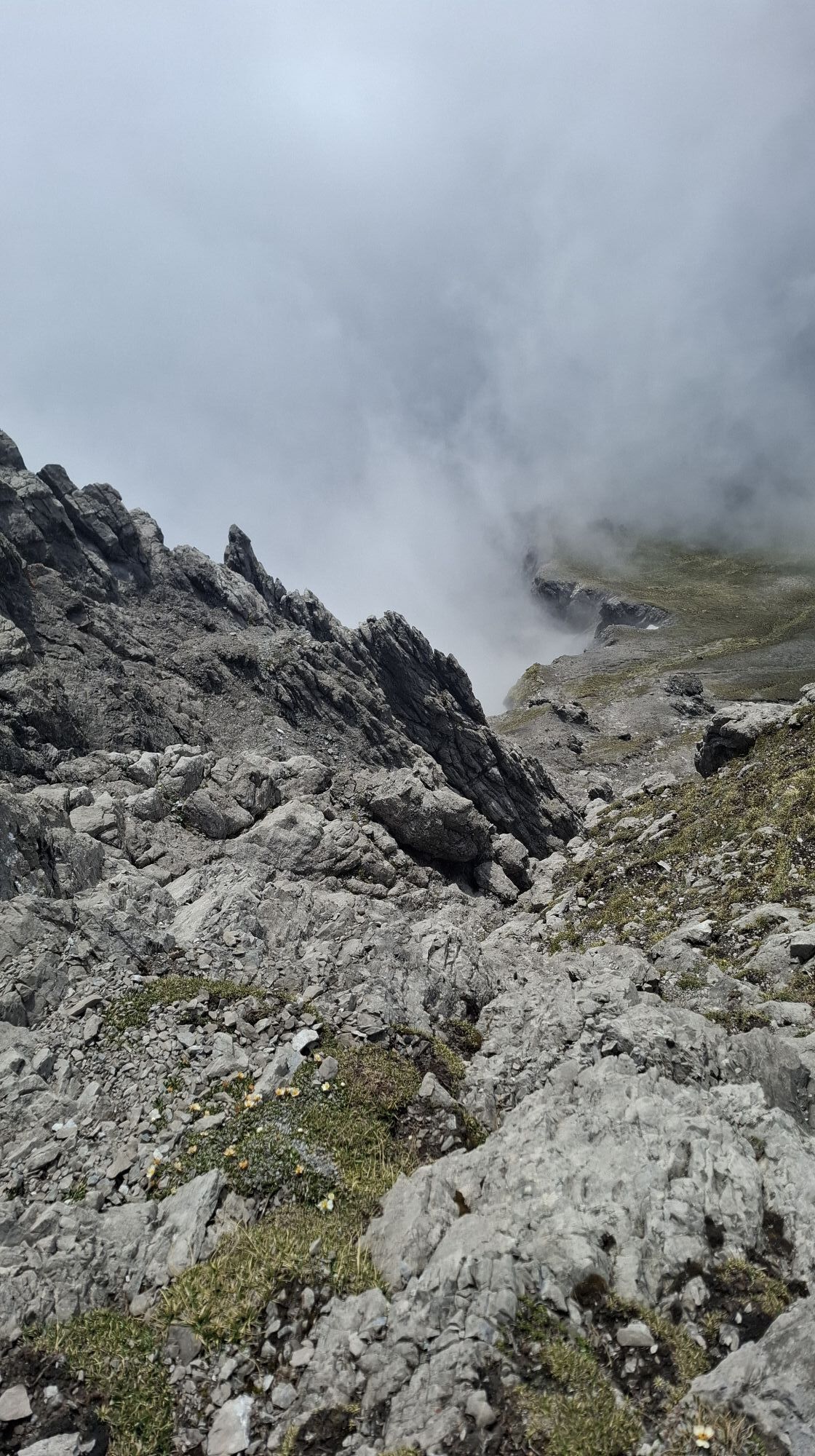
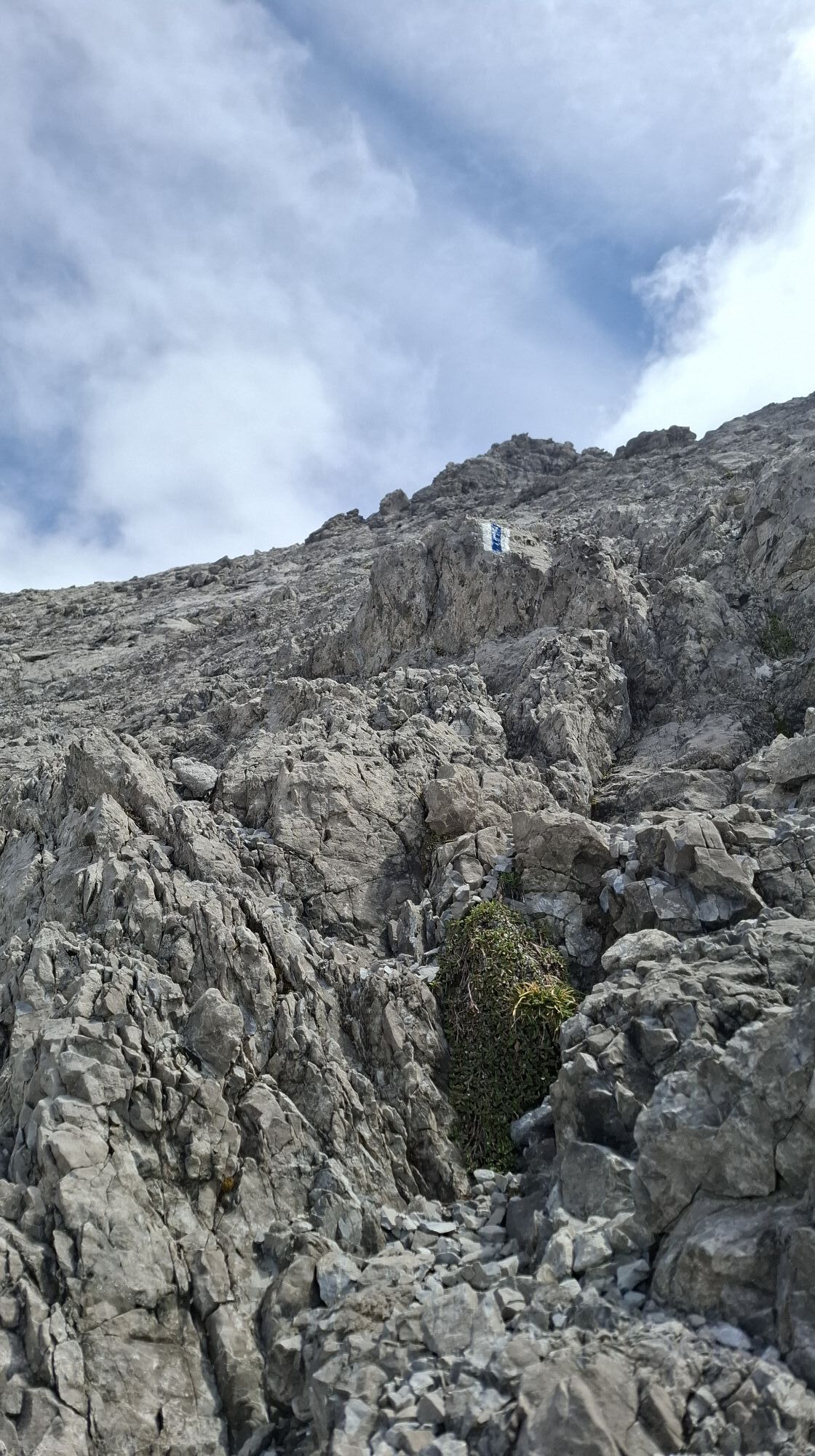
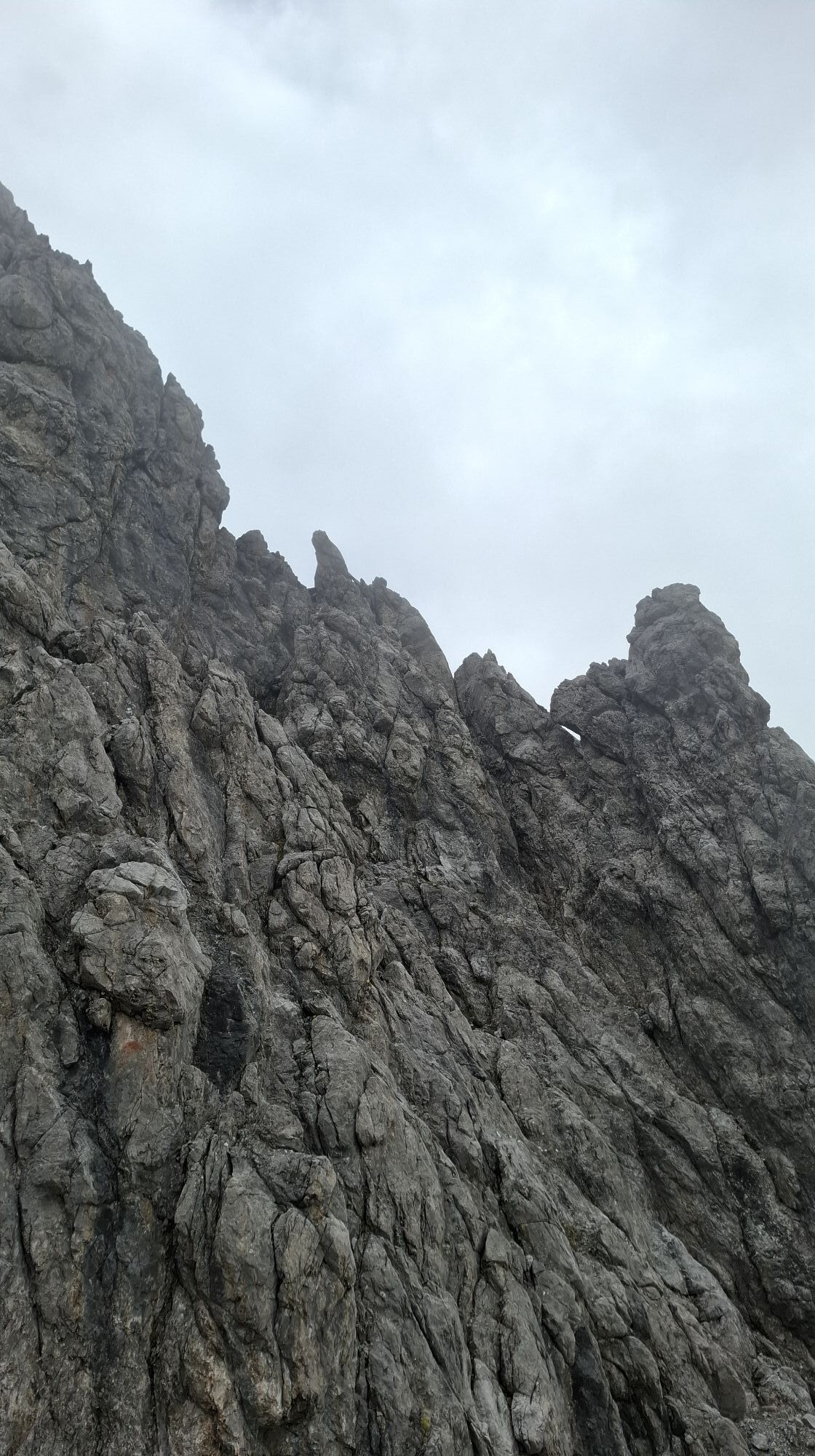
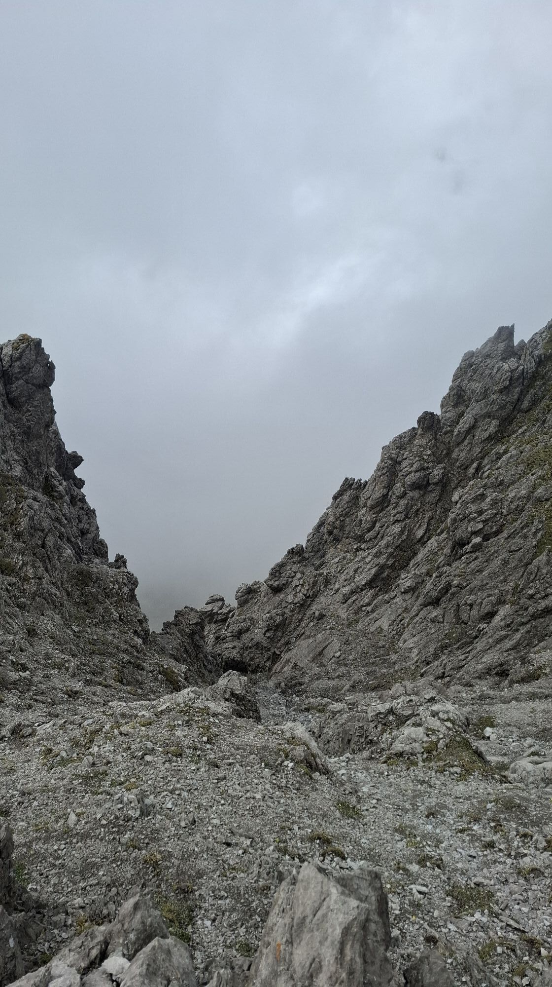
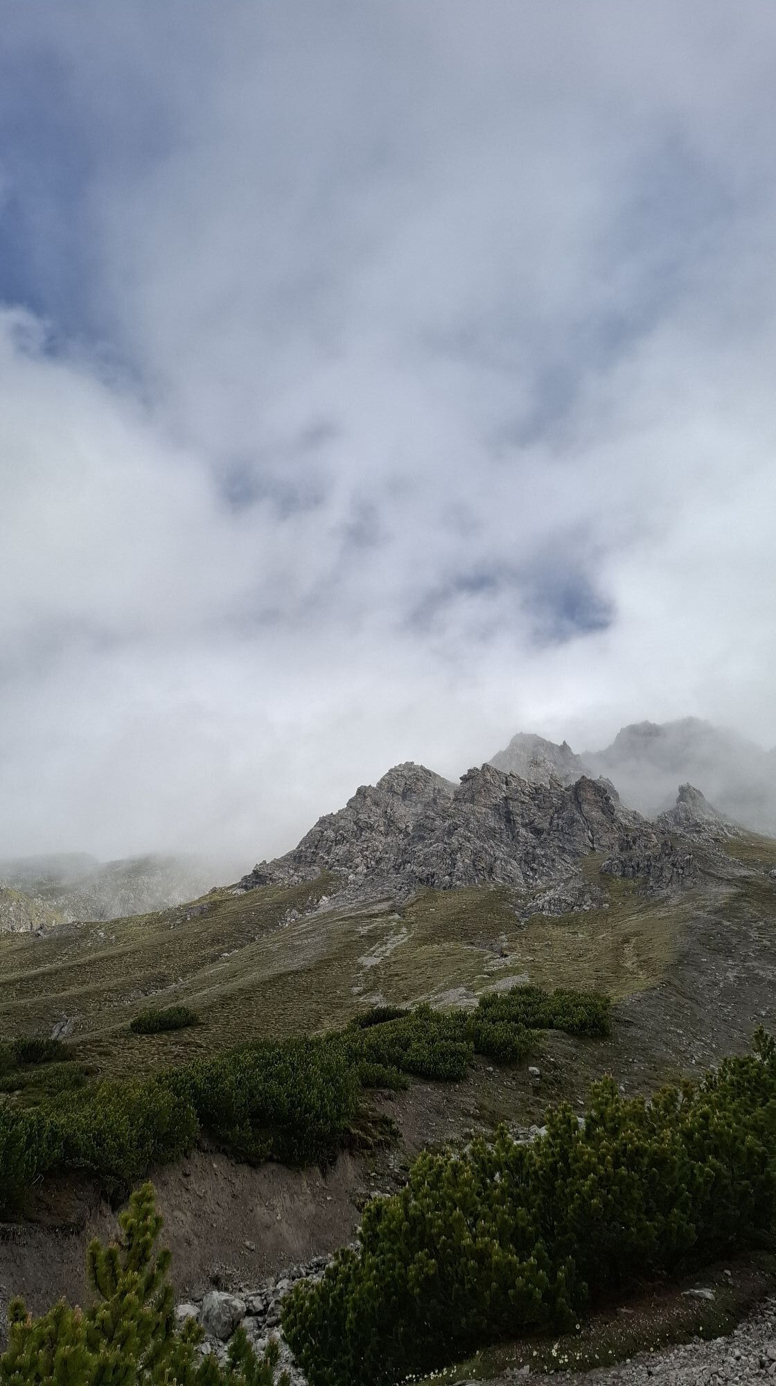

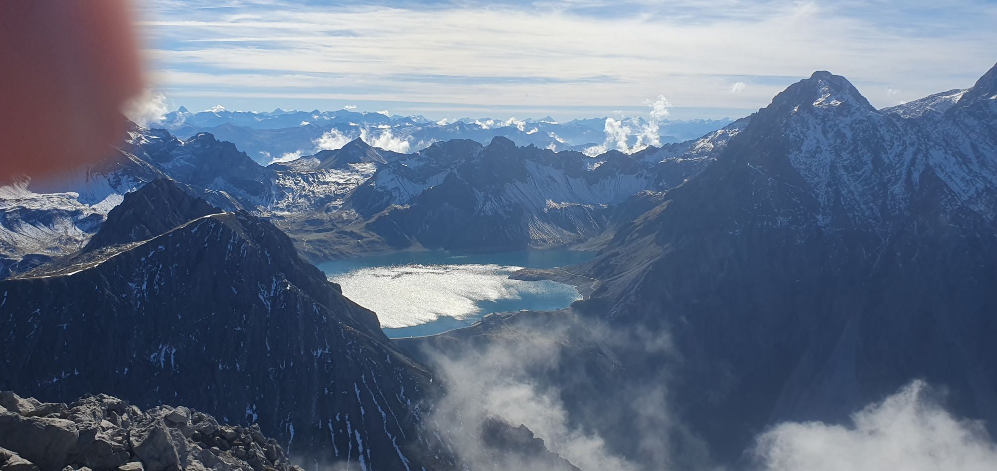
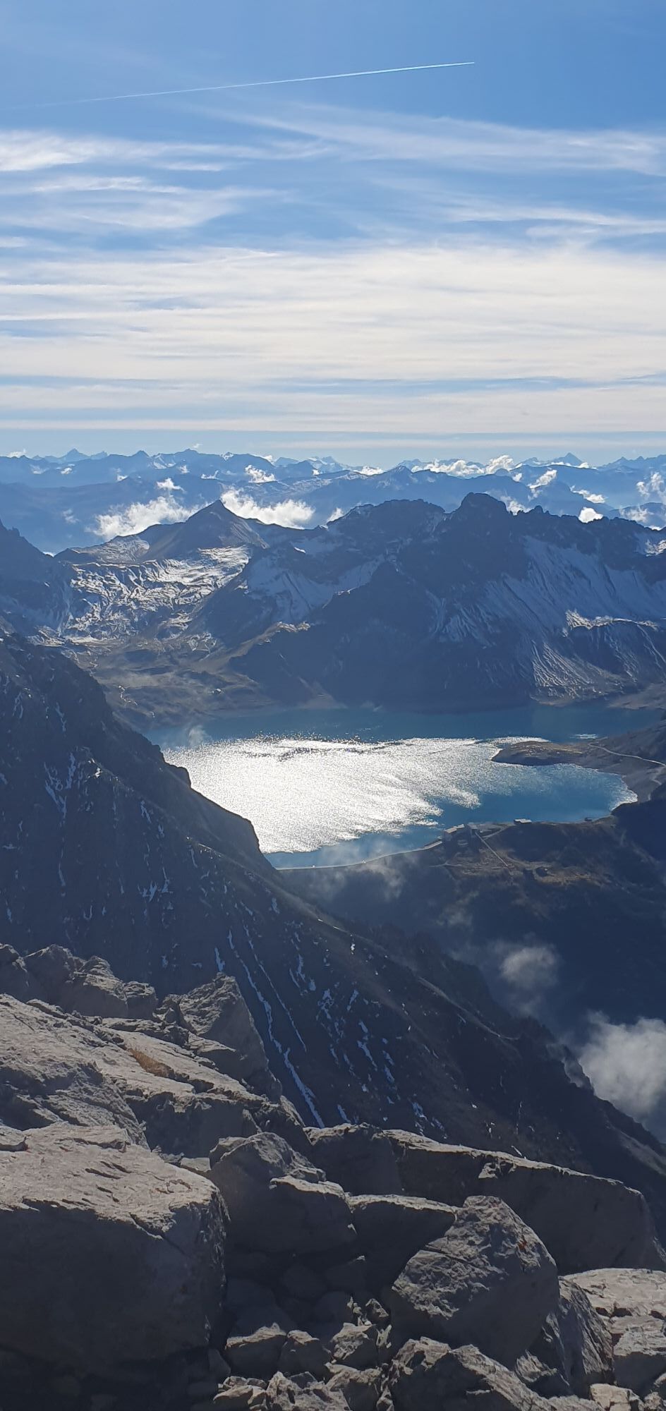
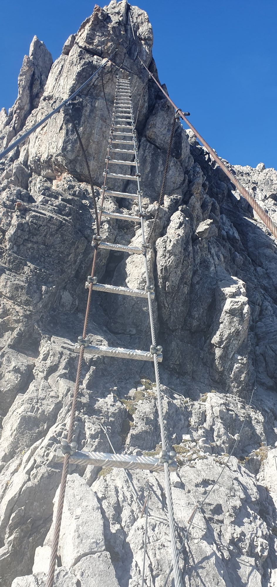
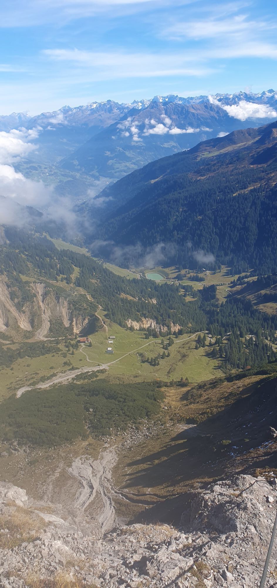
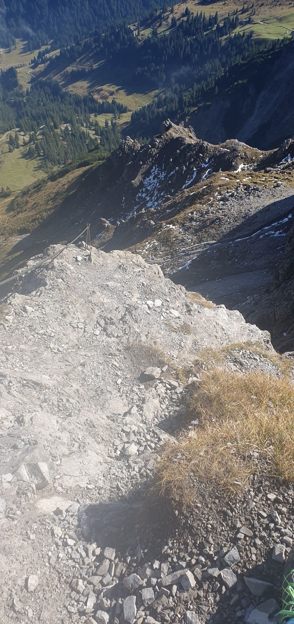
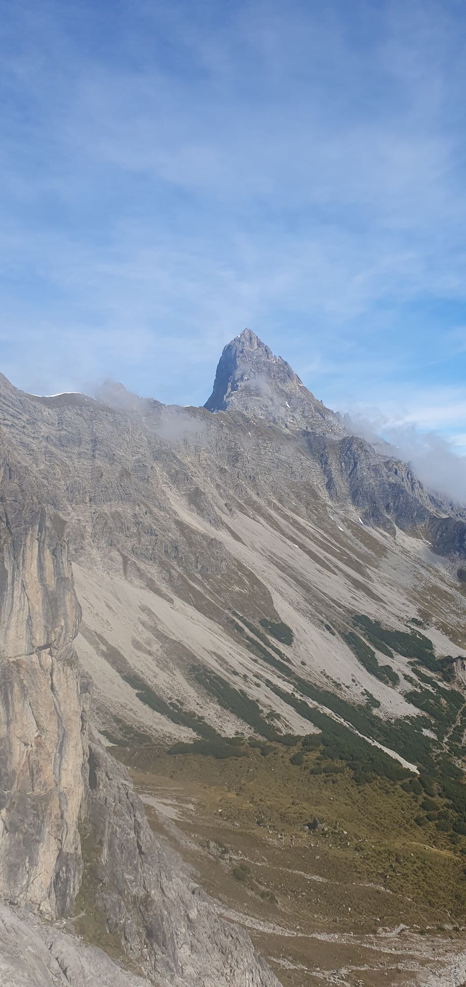

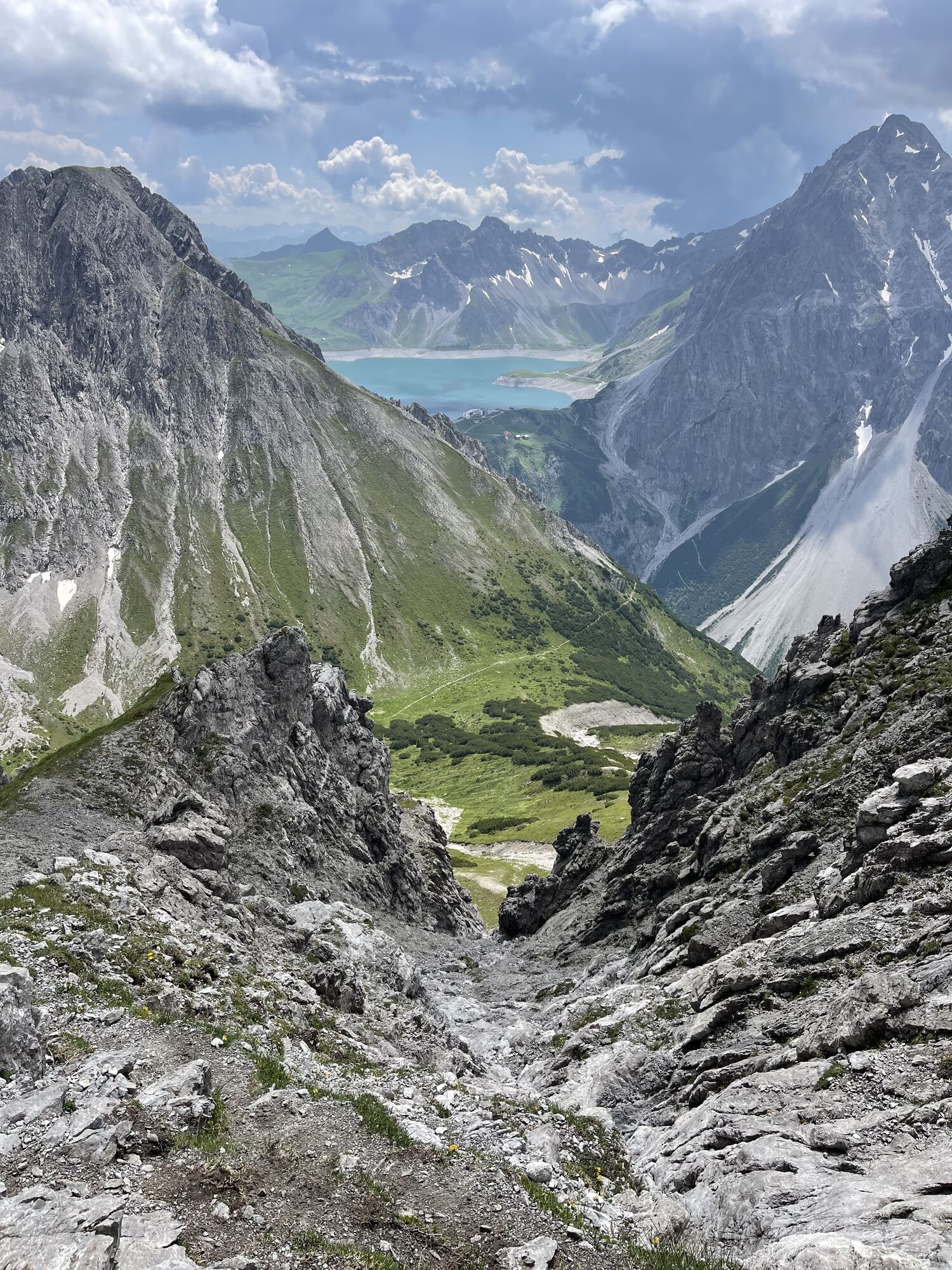
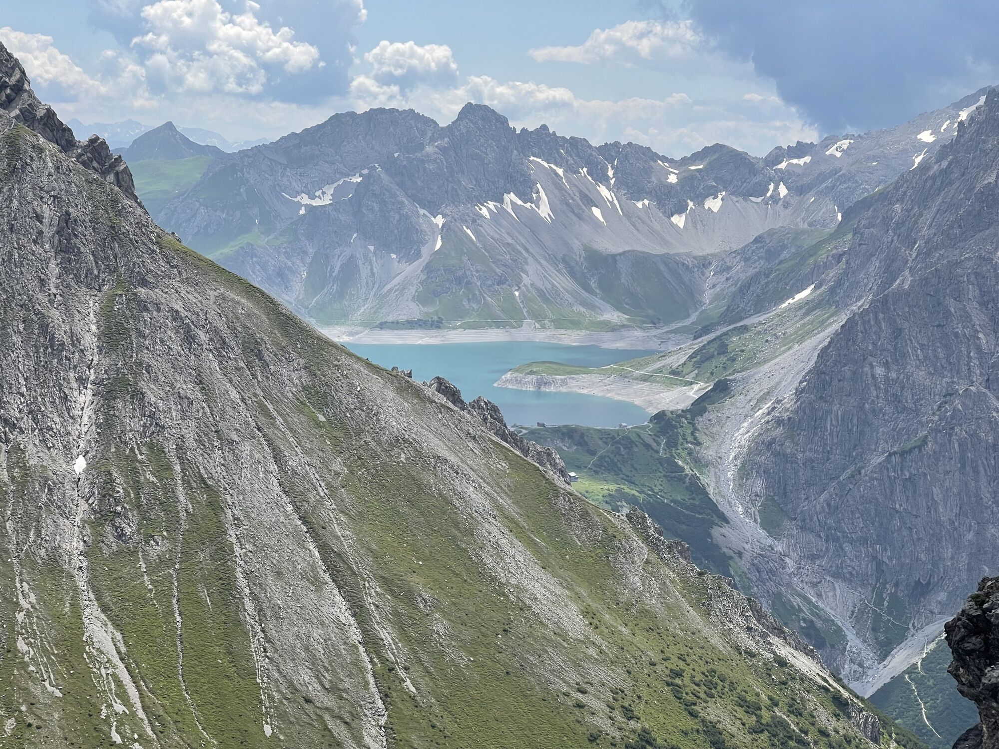
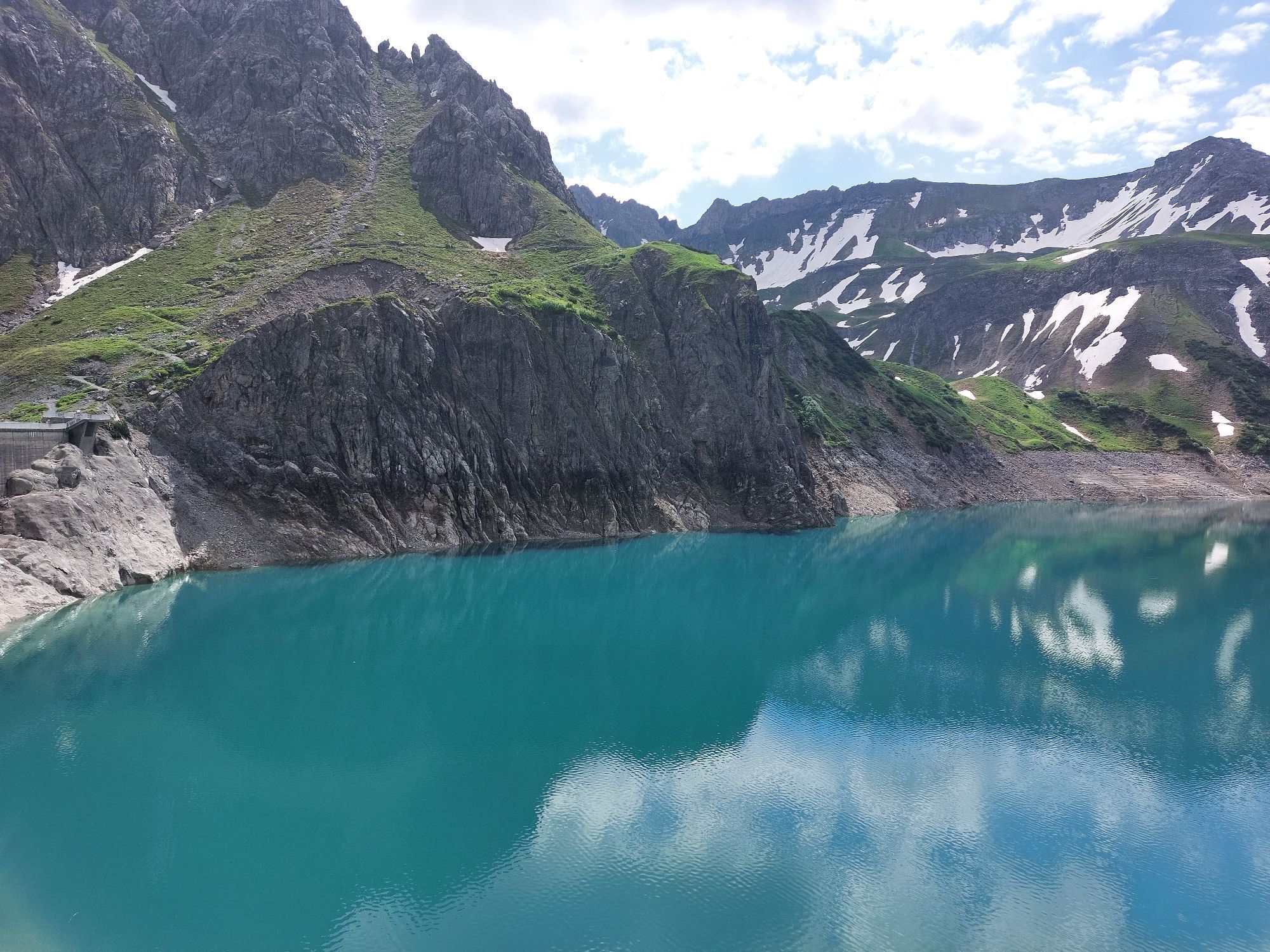
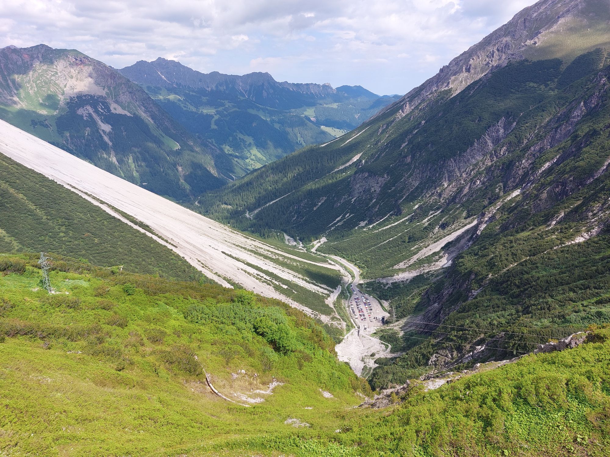
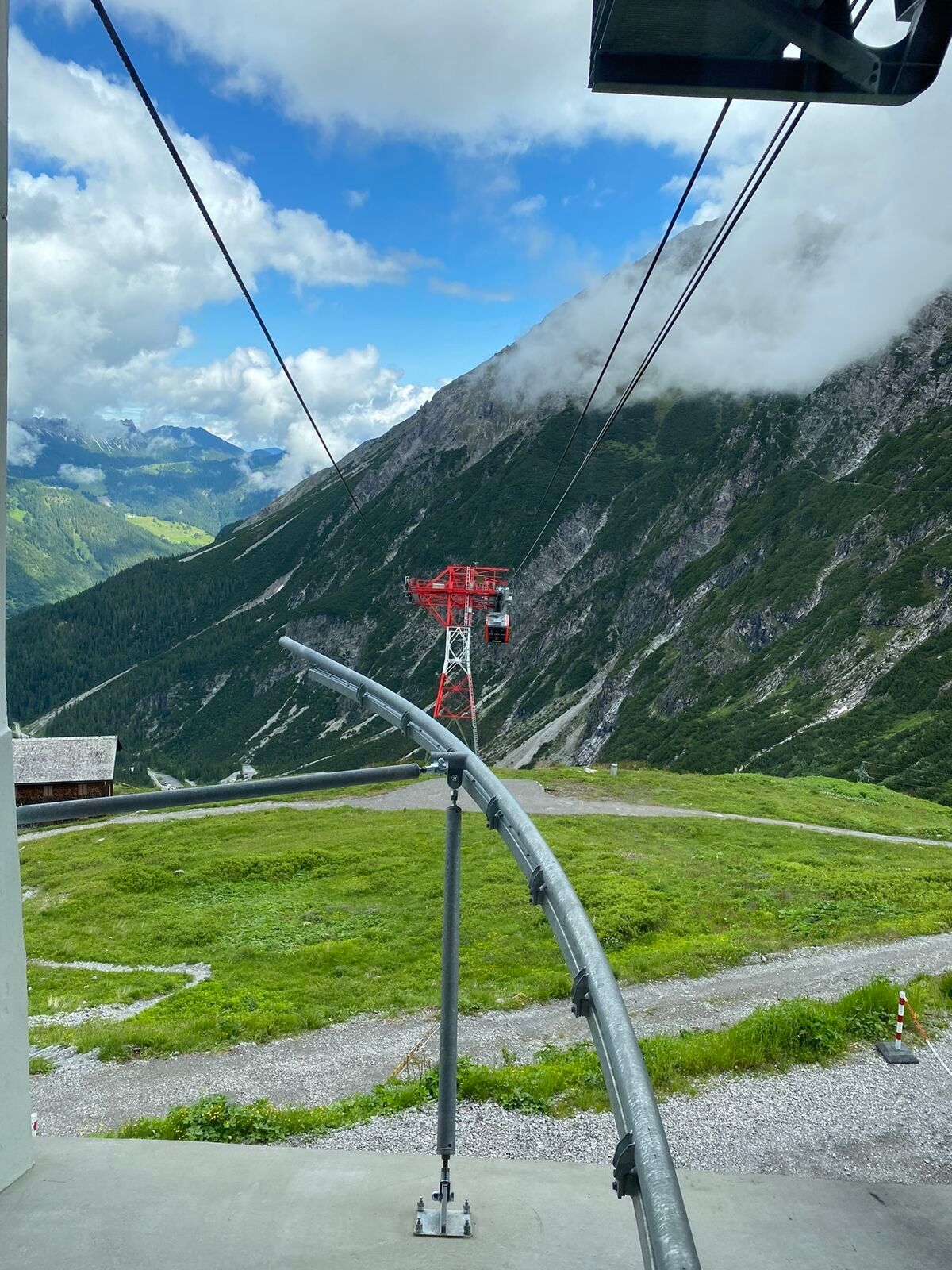
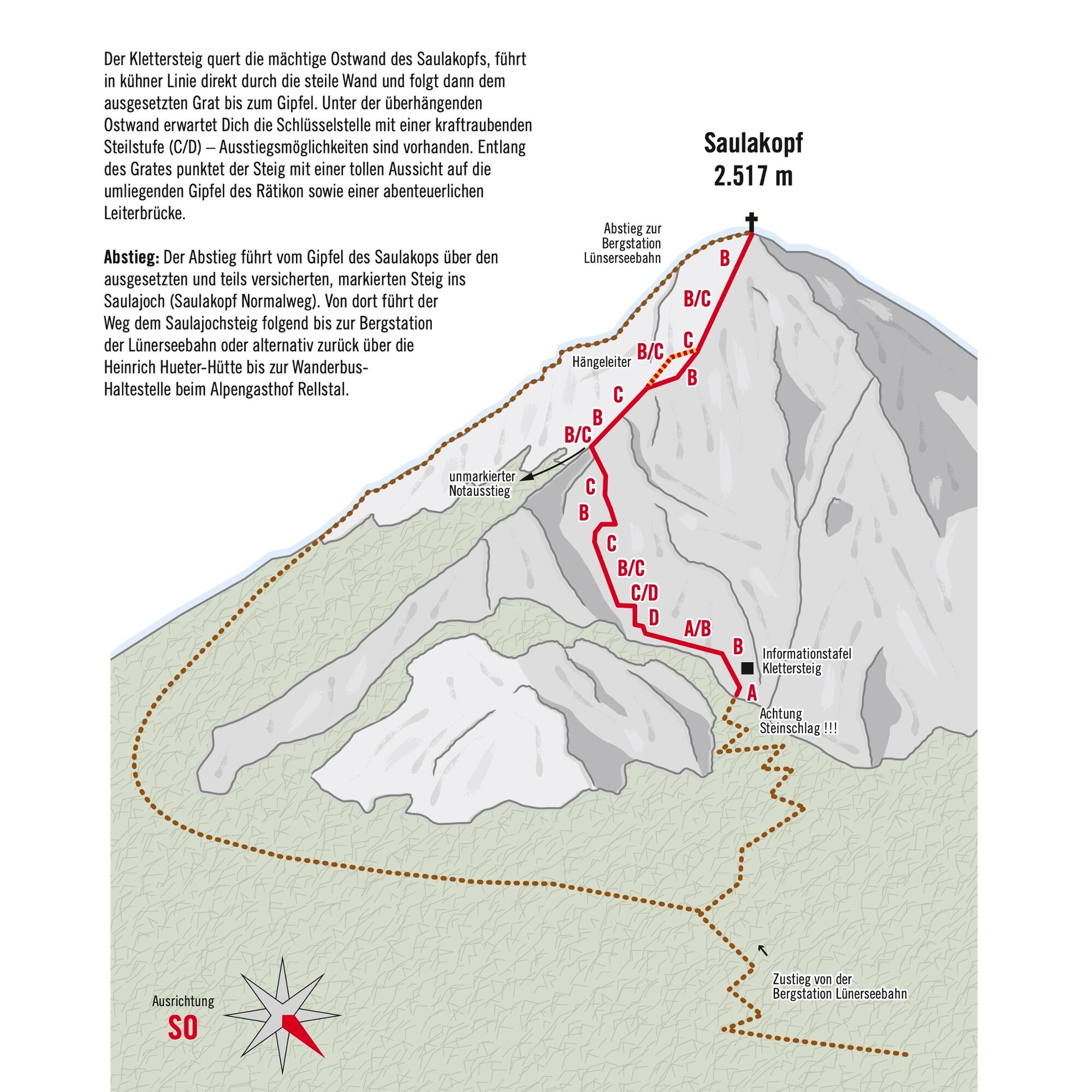
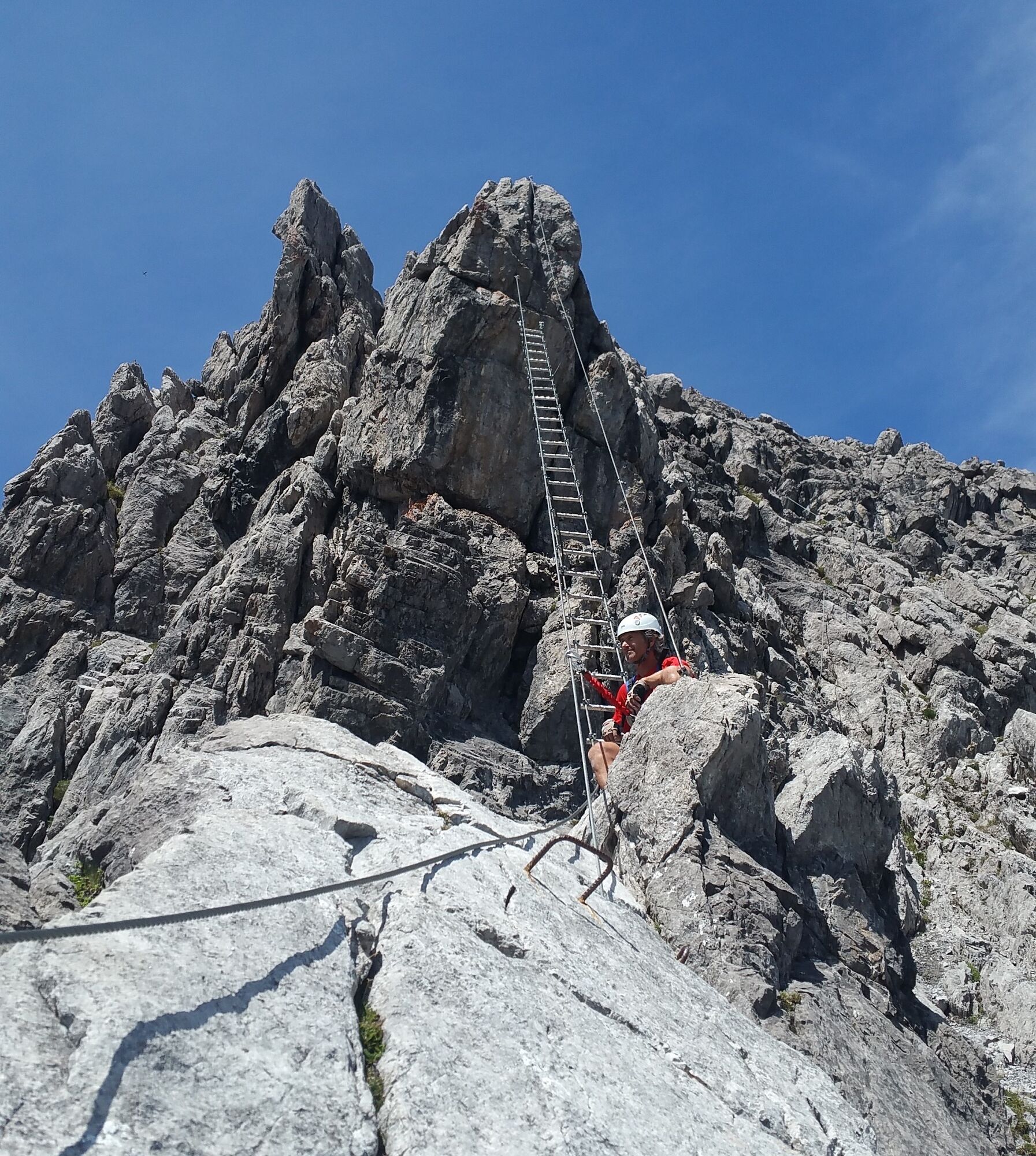
The via ferrata crosses the mighty east face of the Saulakopf, leads boldly directly through the steep wall, and then follows the exposed ridge to the summit. Under the overhanging east face, the key point...
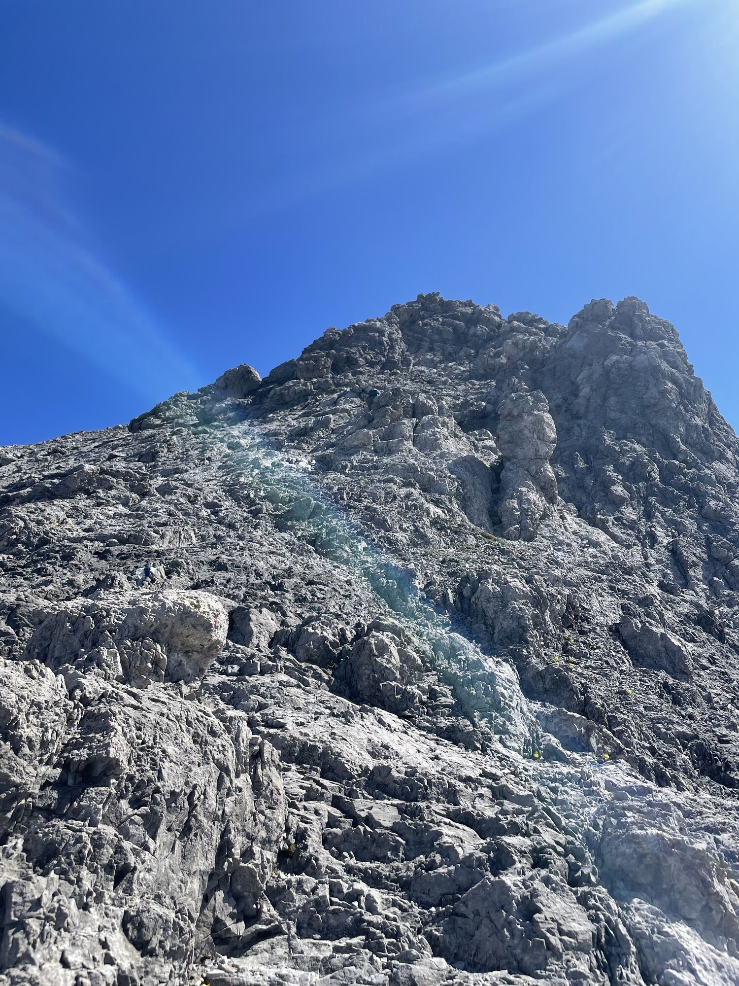
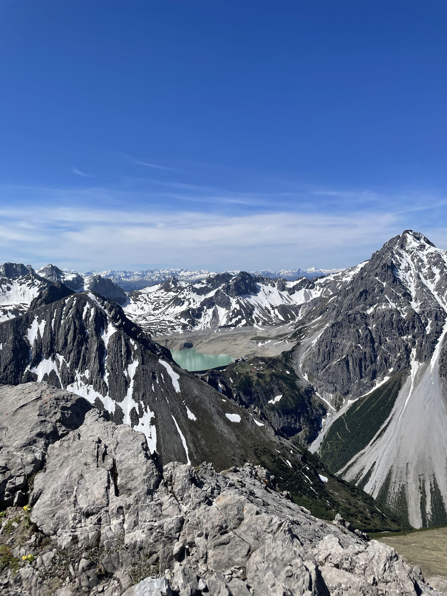
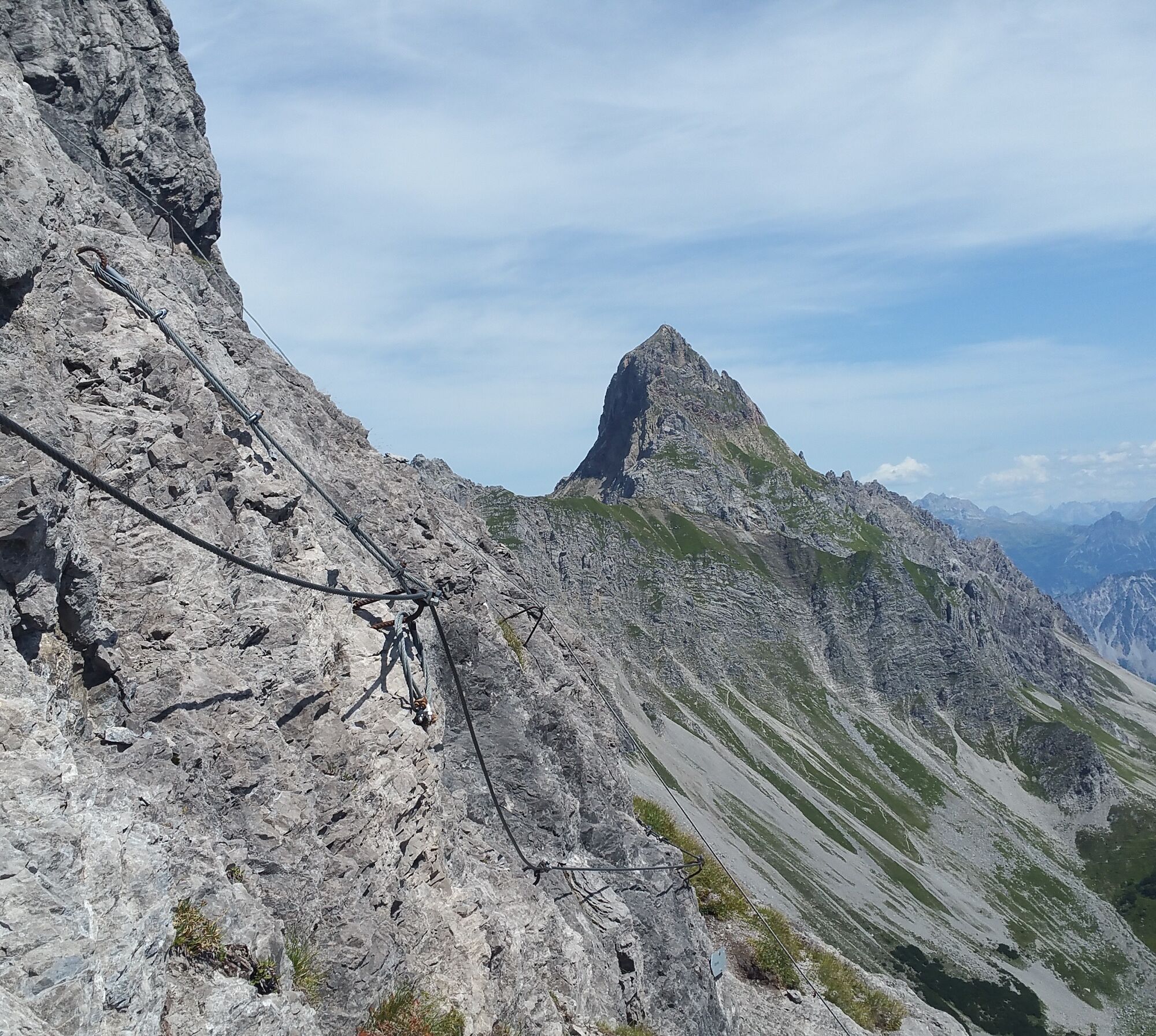
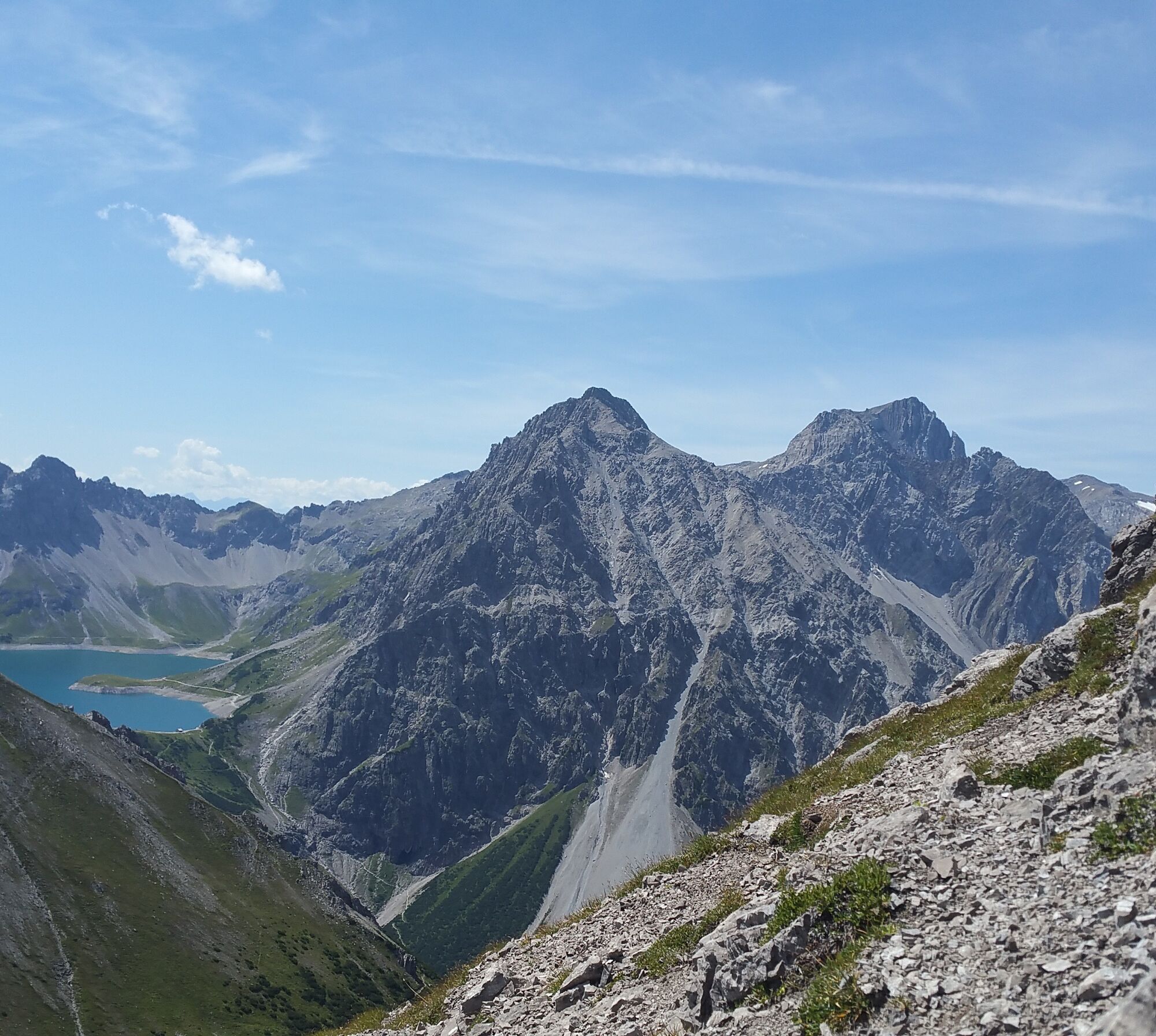
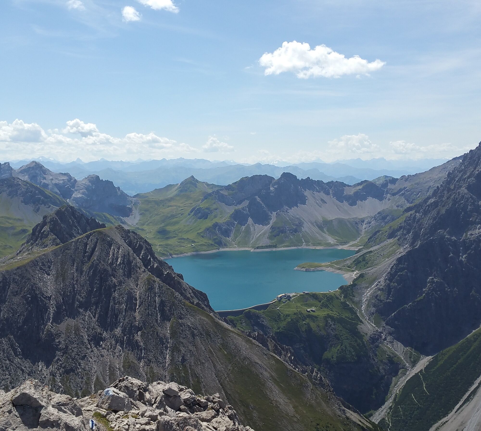
The via ferrata crosses the mighty east face of the Saulakopf, leads boldly directly through the steep wall, and then follows the exposed ridge to the summit. Under the overhanging east face, the key point awaits you with a strenuous steep section (C/D) – exit options are available. Along the ridge, the route scores with a great view of the surrounding Rätikon peaks as well as an adventurous ladder bridge.
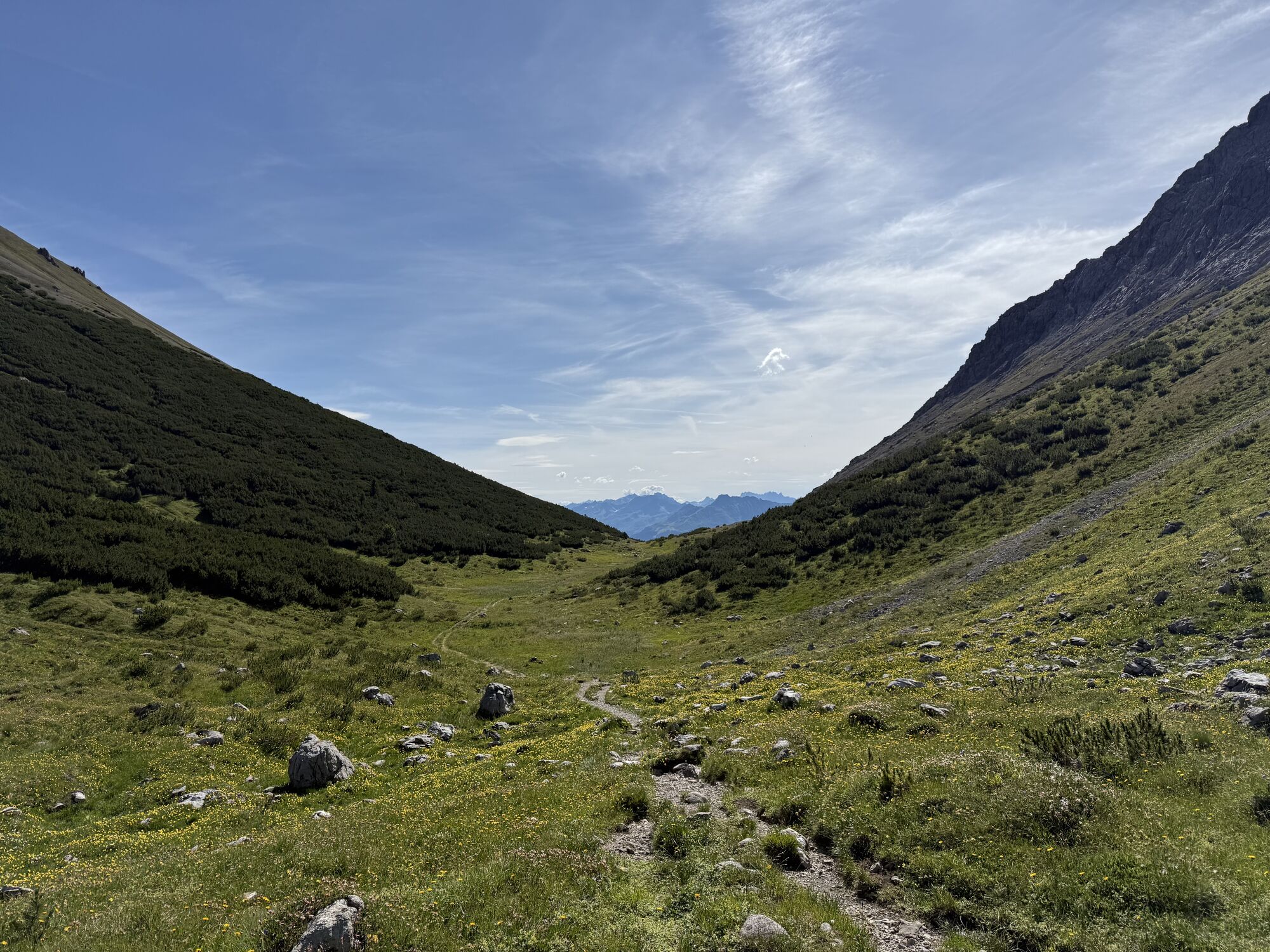
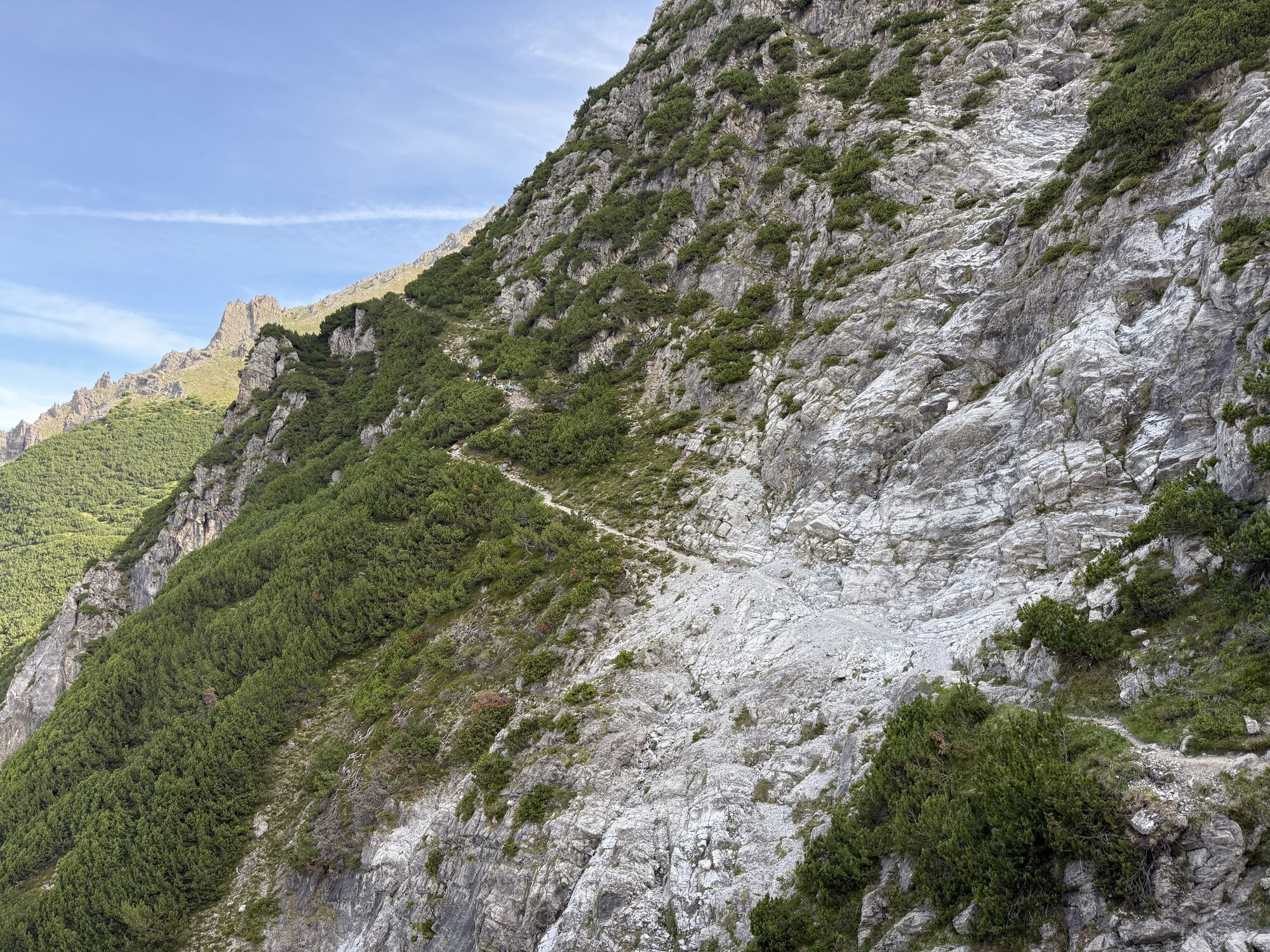
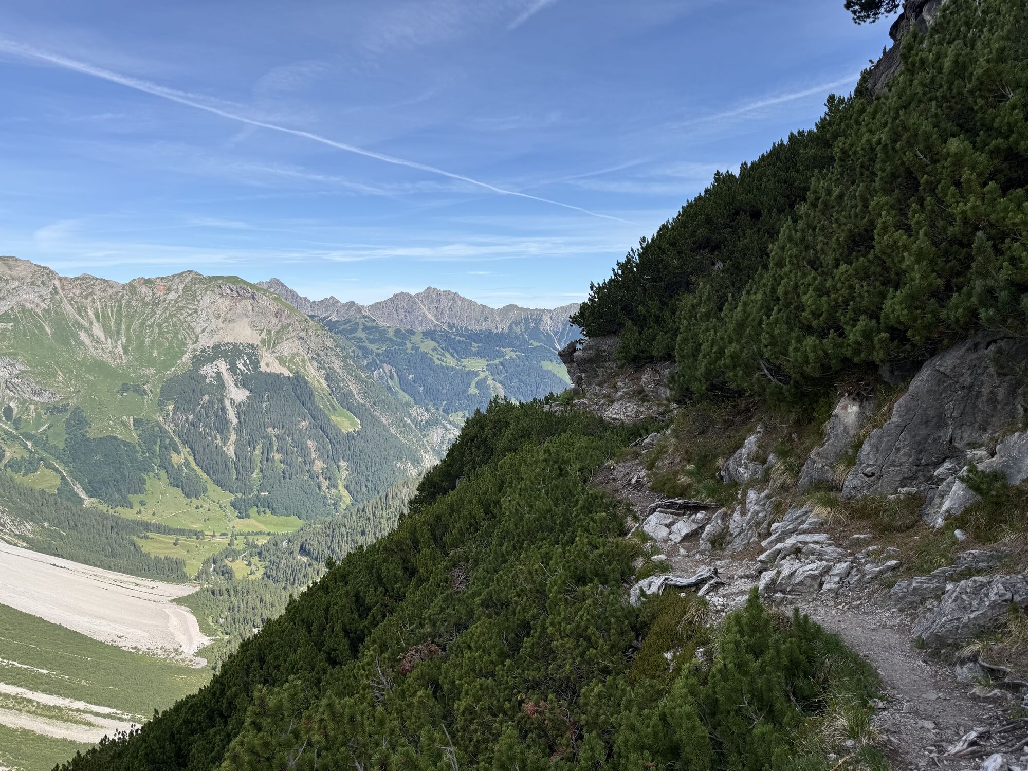
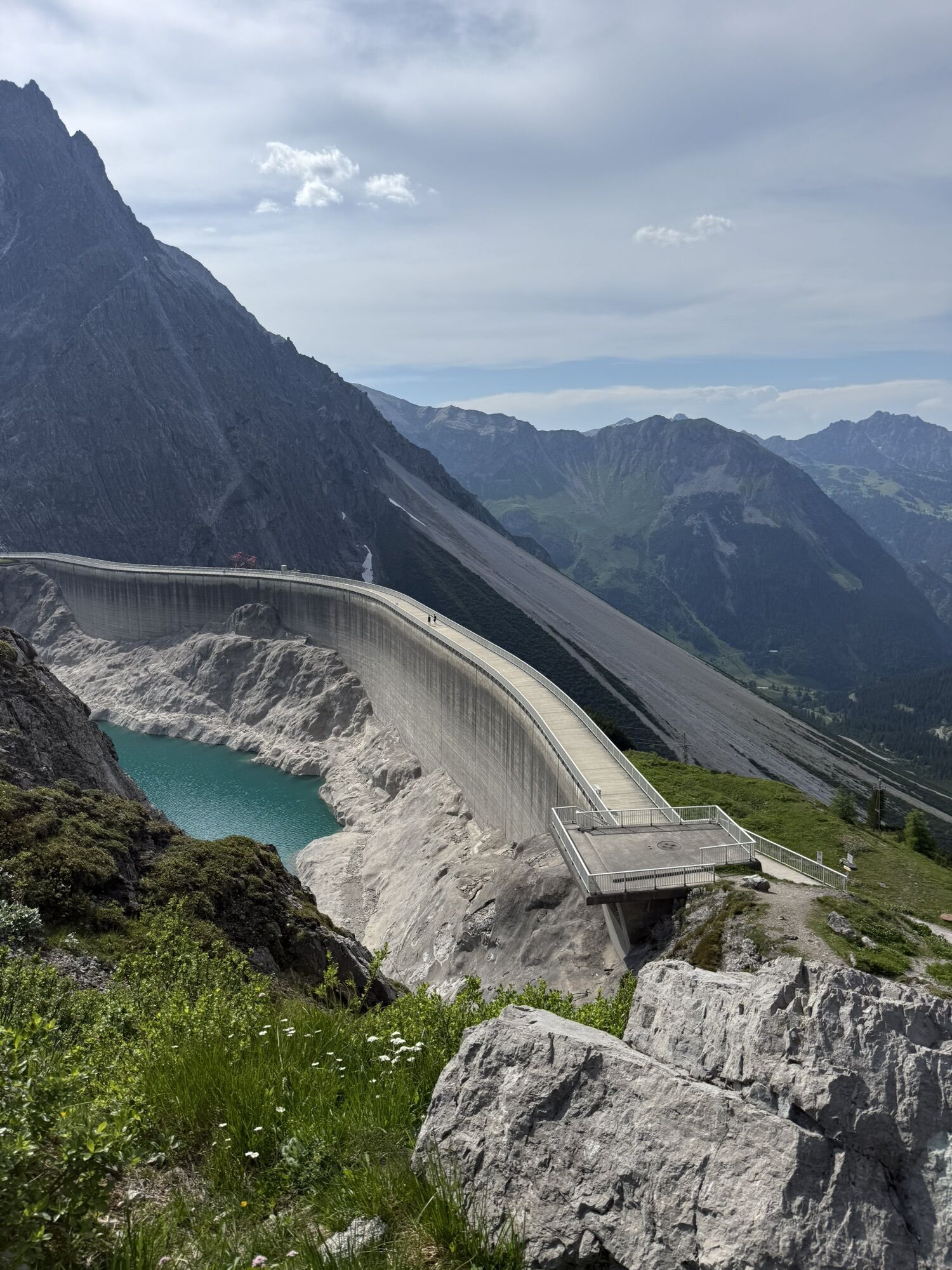
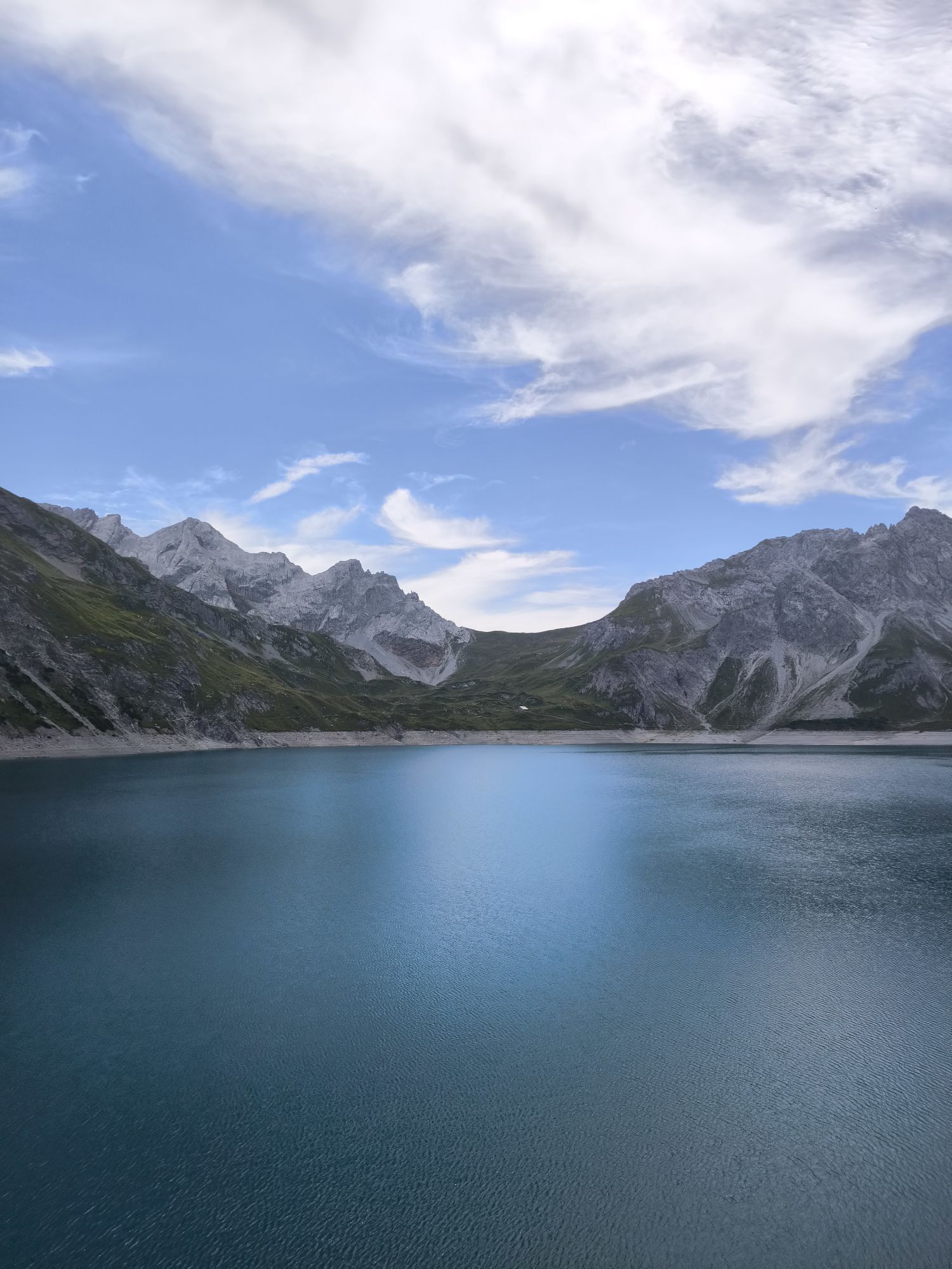
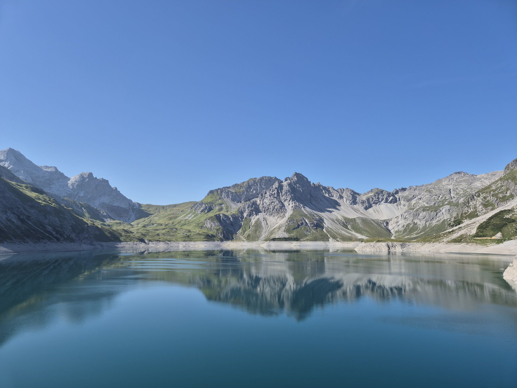
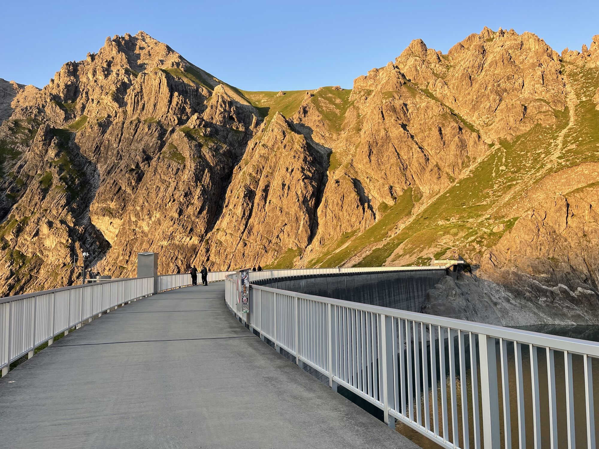
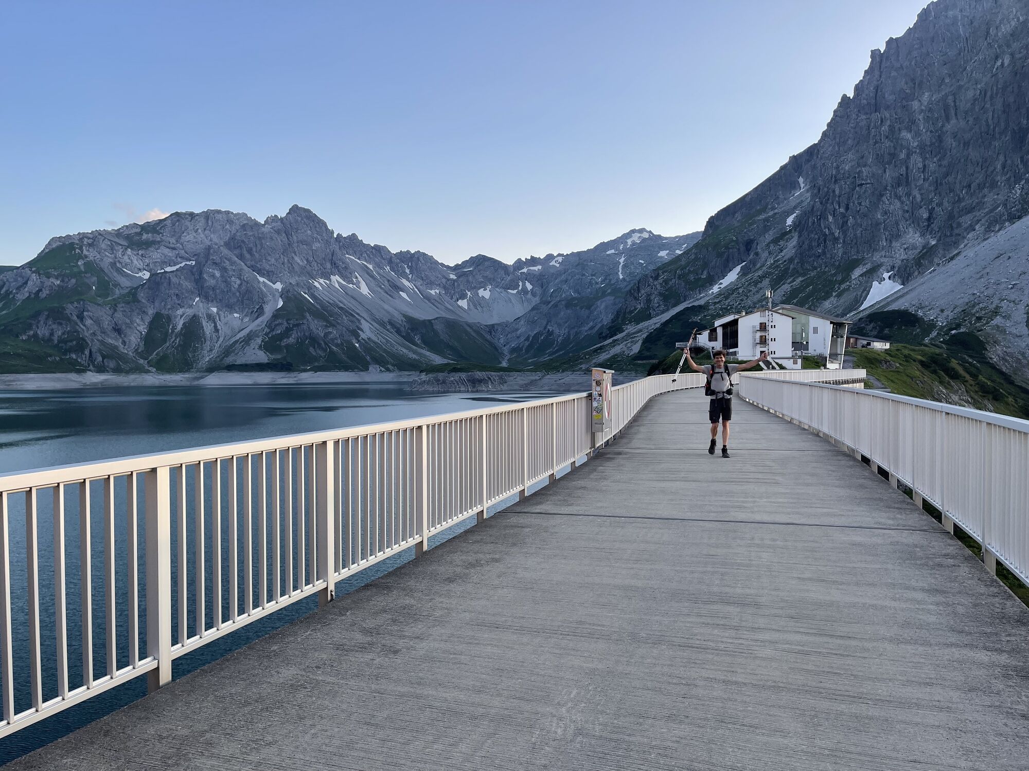
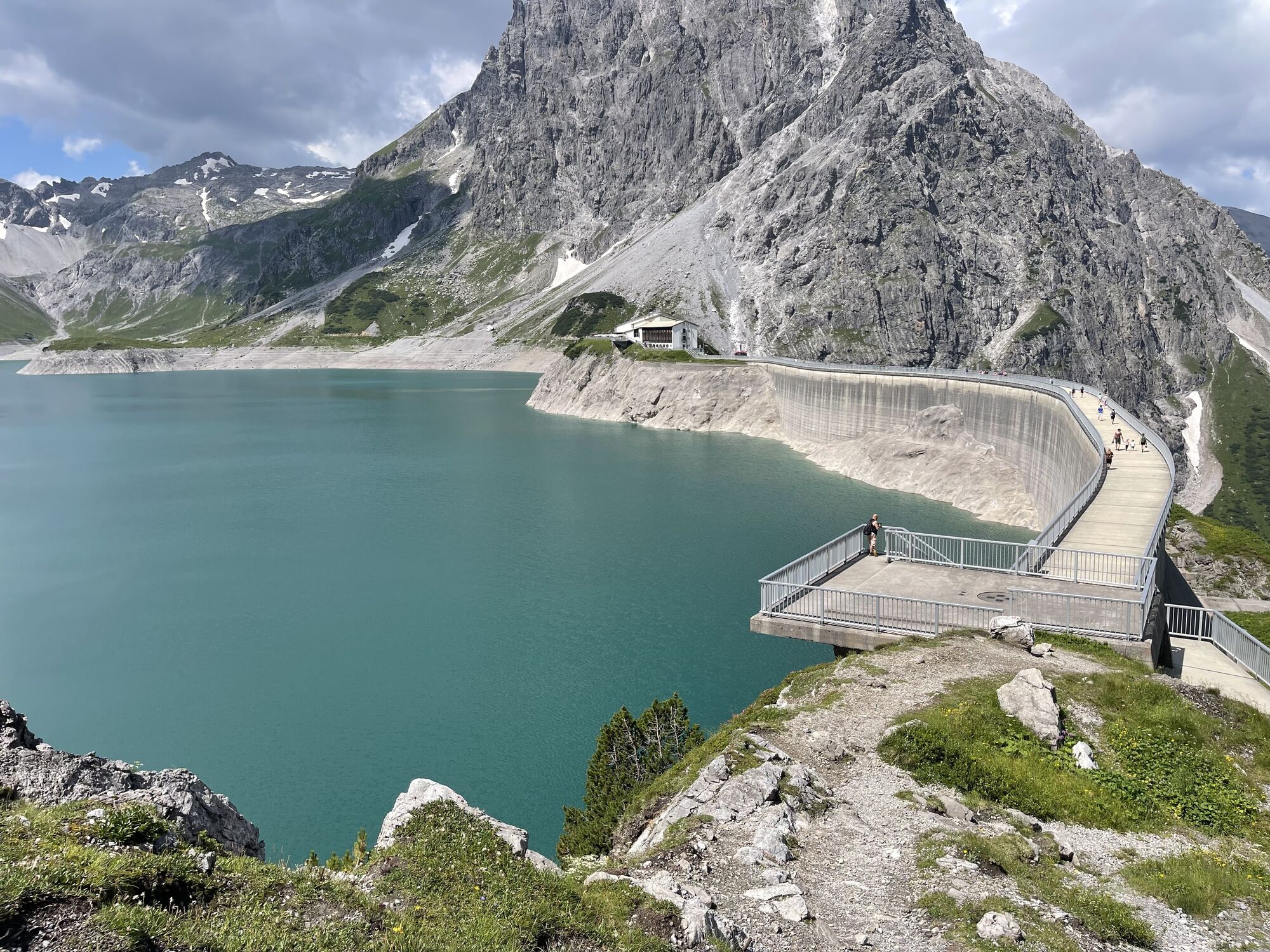
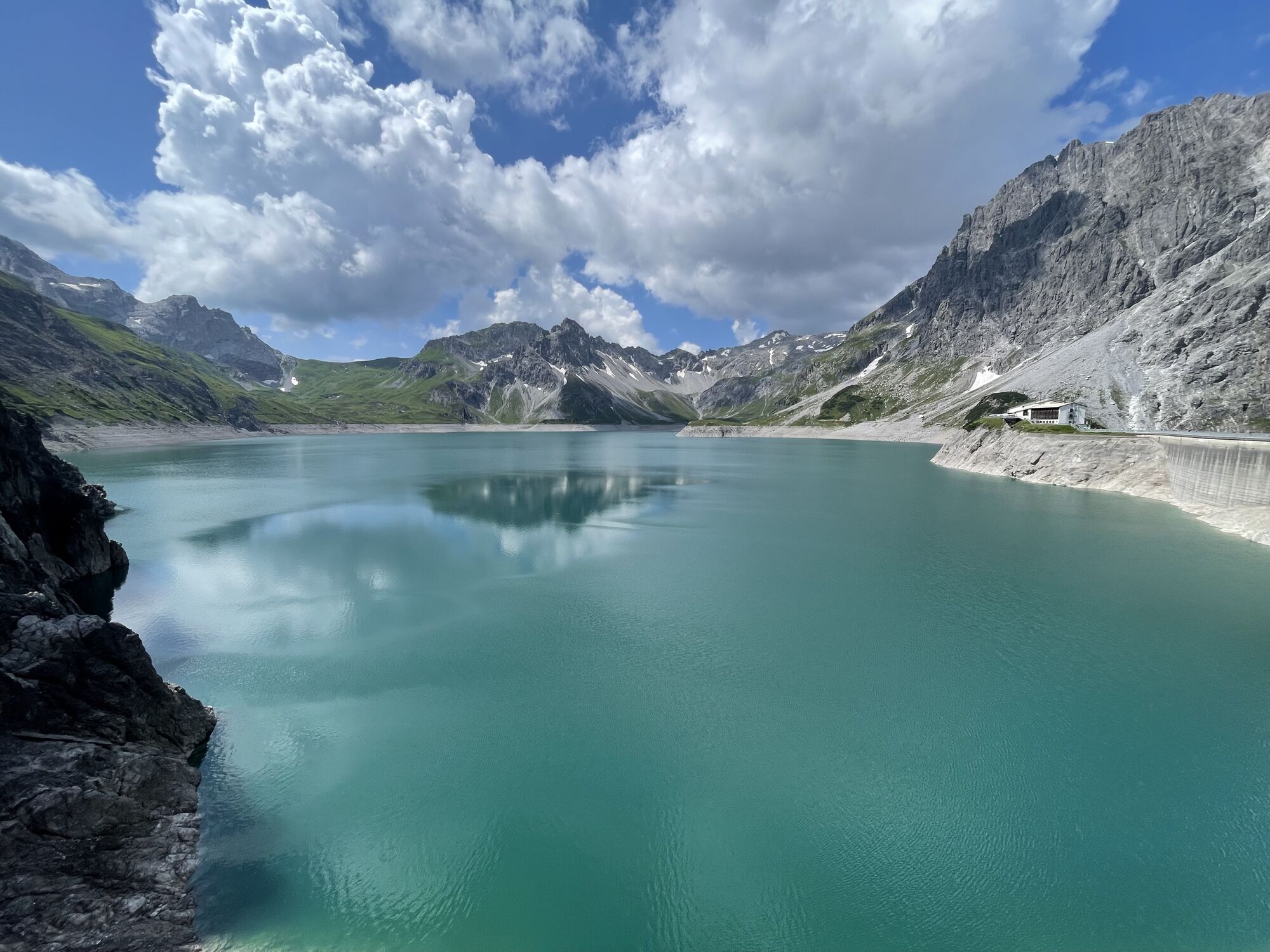
Approach: The fastest approach is from the Douglass Hut directly at the mountain station of the Lünerseebahn, from where you cross the dam and then descend slightly over the Saulajoch path to the Saulajoch. Now you follow the path further to the base of the Saulakopf east face. There a path branches off that leads you to the start. Beware of rockfall!
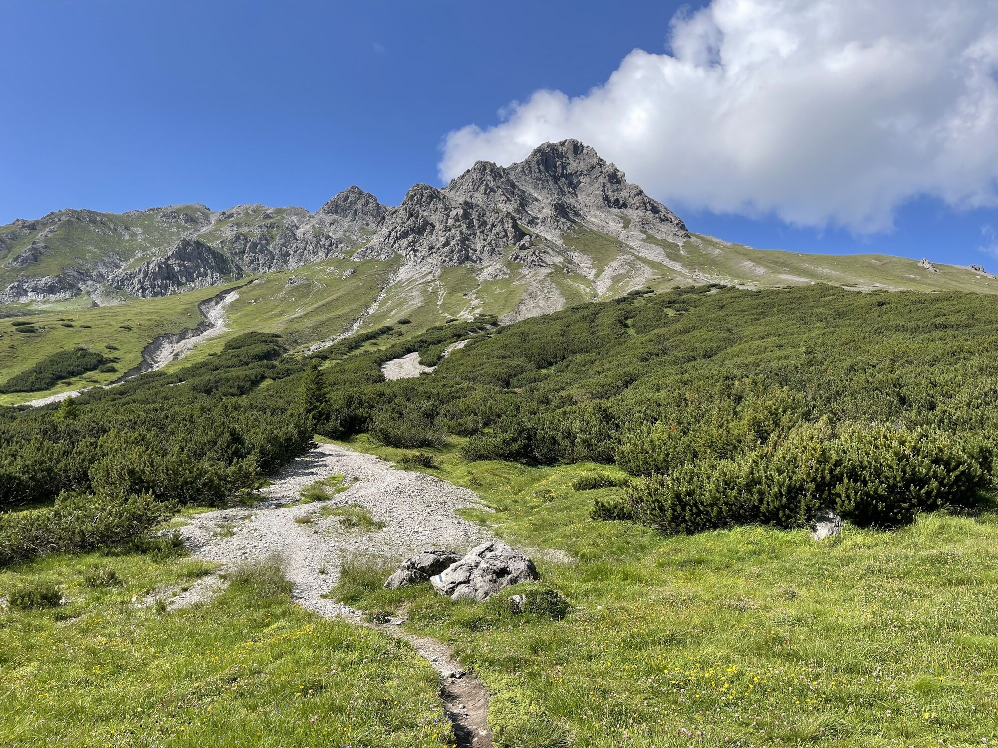
Alternatively, you can also choose the approach via the Rellstal. From the Rellstal alpine inn, which you reach by the hiking bus from Vandans, the trail leads past the Heinrich Hueter Hut and further to the base of the east face of the Saulakopf. There a path branches off that leads you to the start.
Descent: The descent leads from the summit of the Saulakopf over the exposed and partly secured, marked path to the Saulajoch (Saulakopf normal route). From there, the path follows the Saulajoch trail to the mountain station of the Lünerseebahn or alternatively back via the Heinrich Hueter Hut to the hiking bus stop at the Rellstal alpine inn.

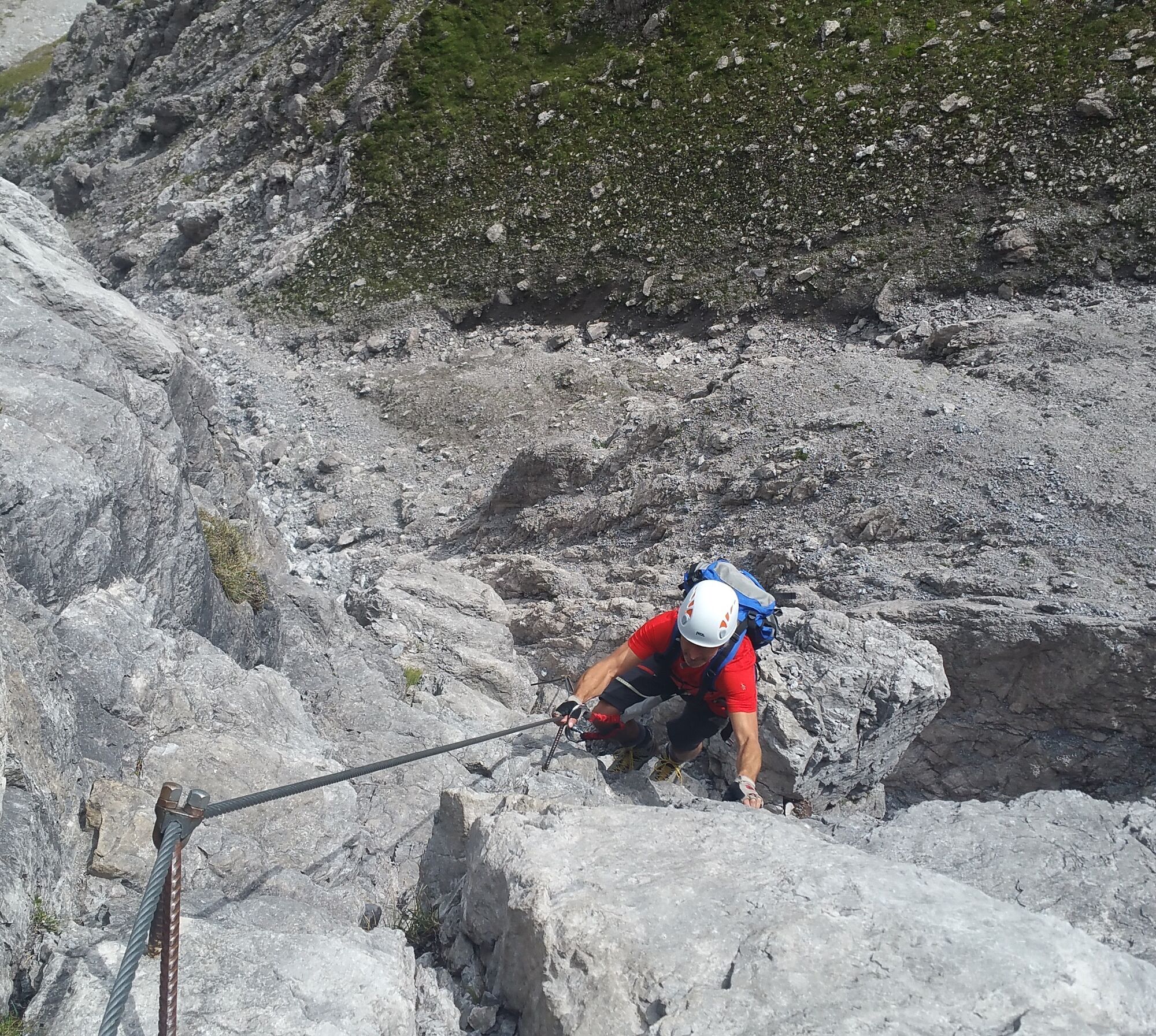
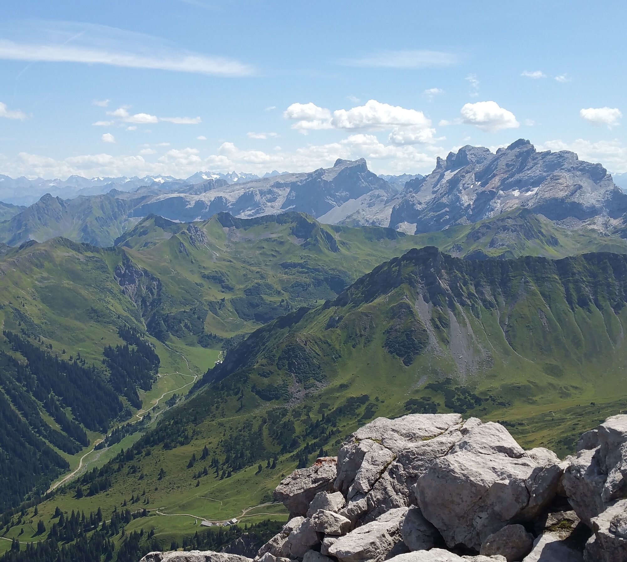
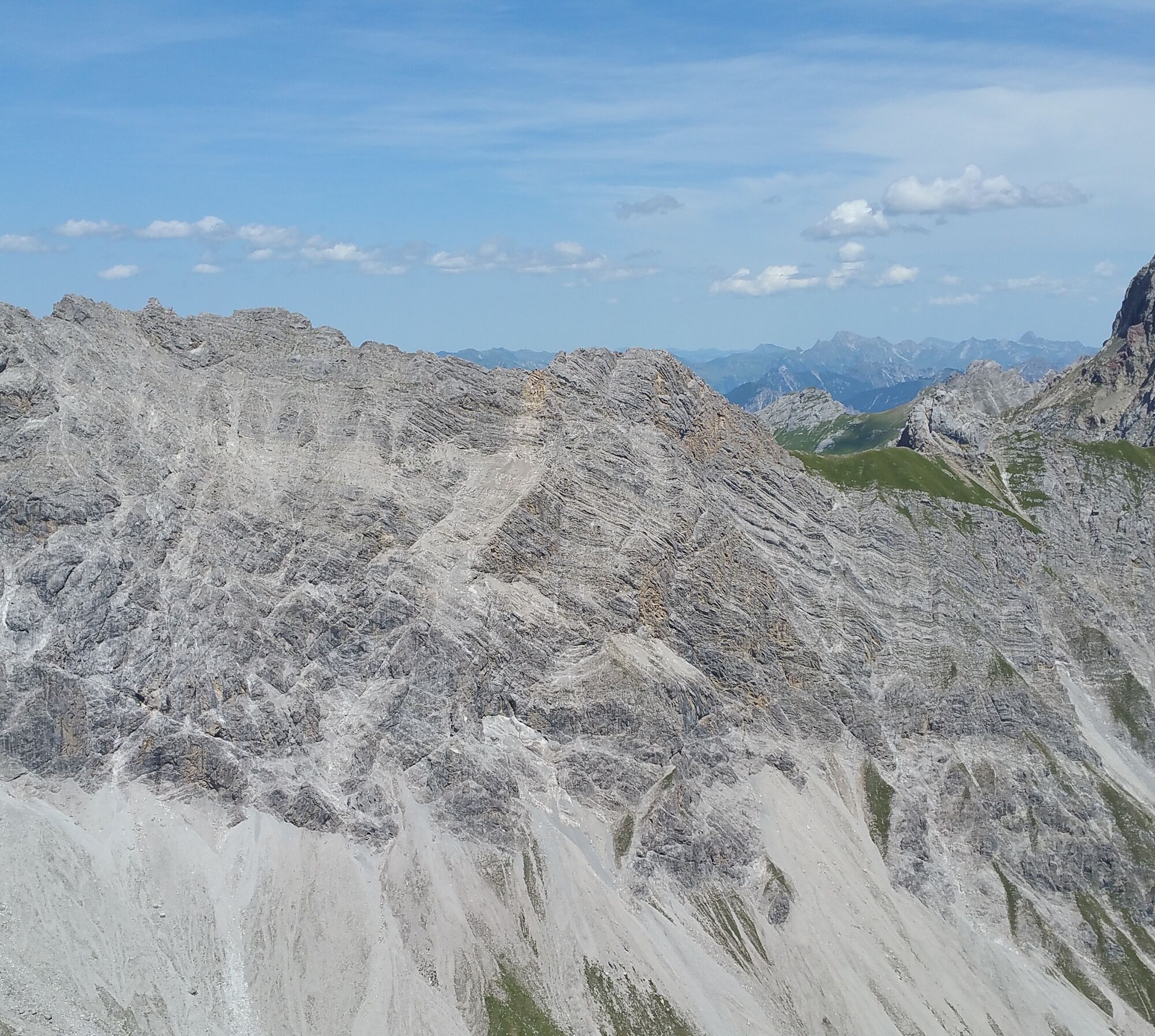
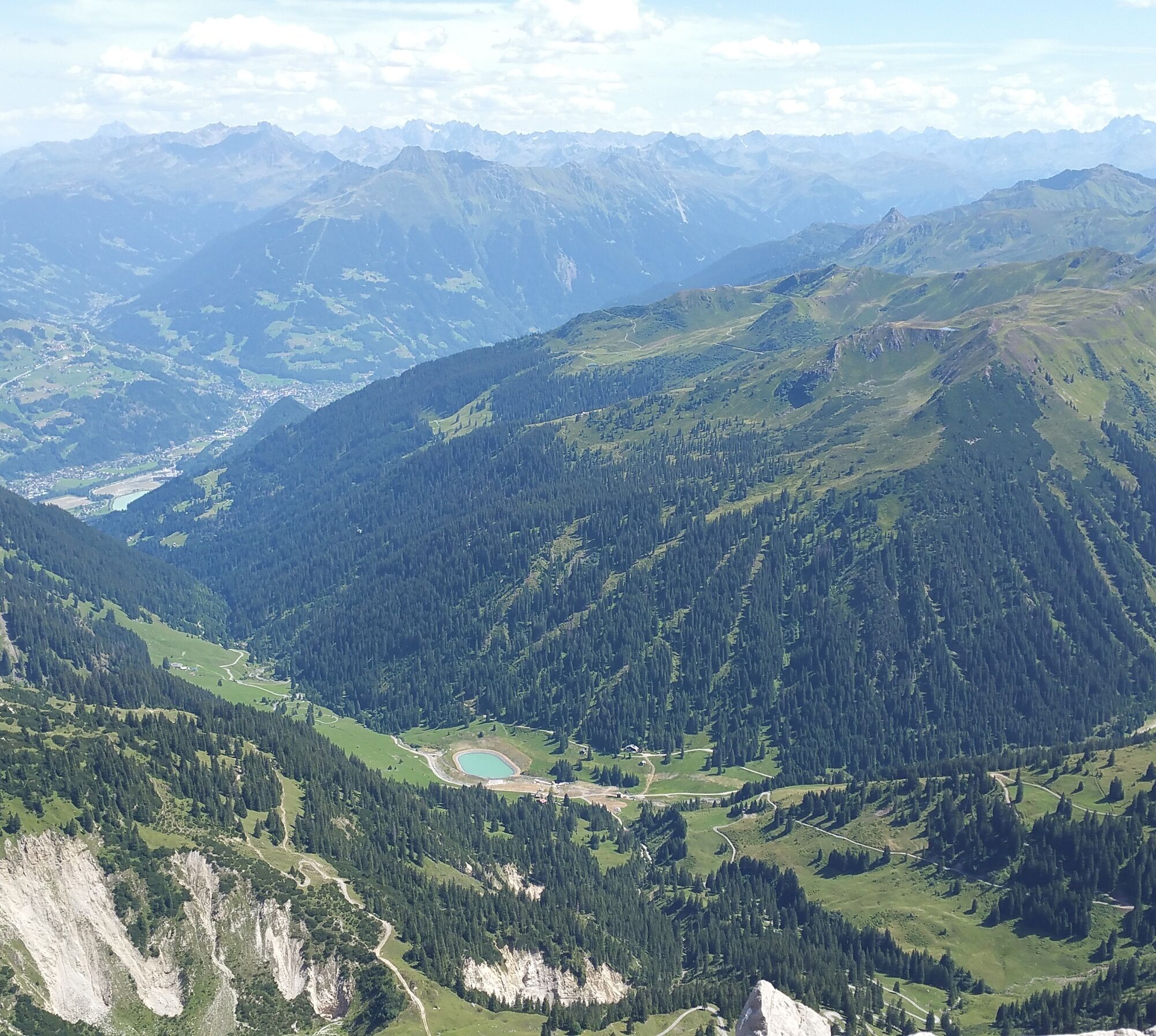
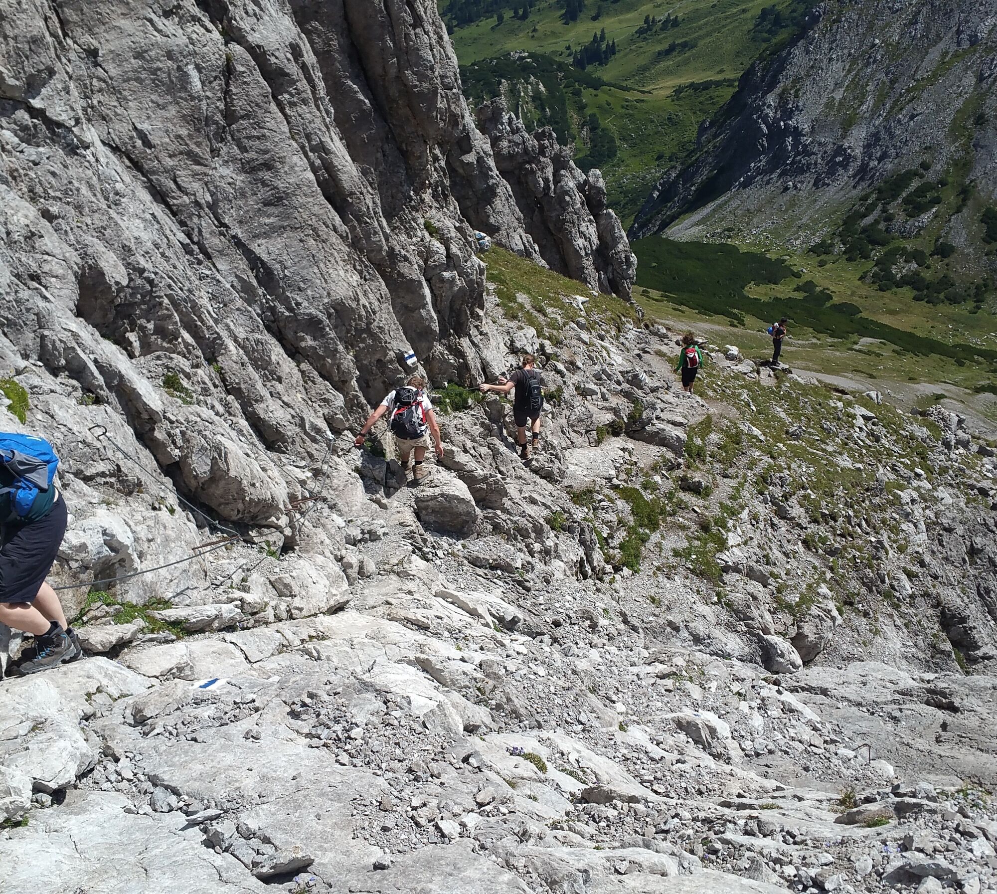
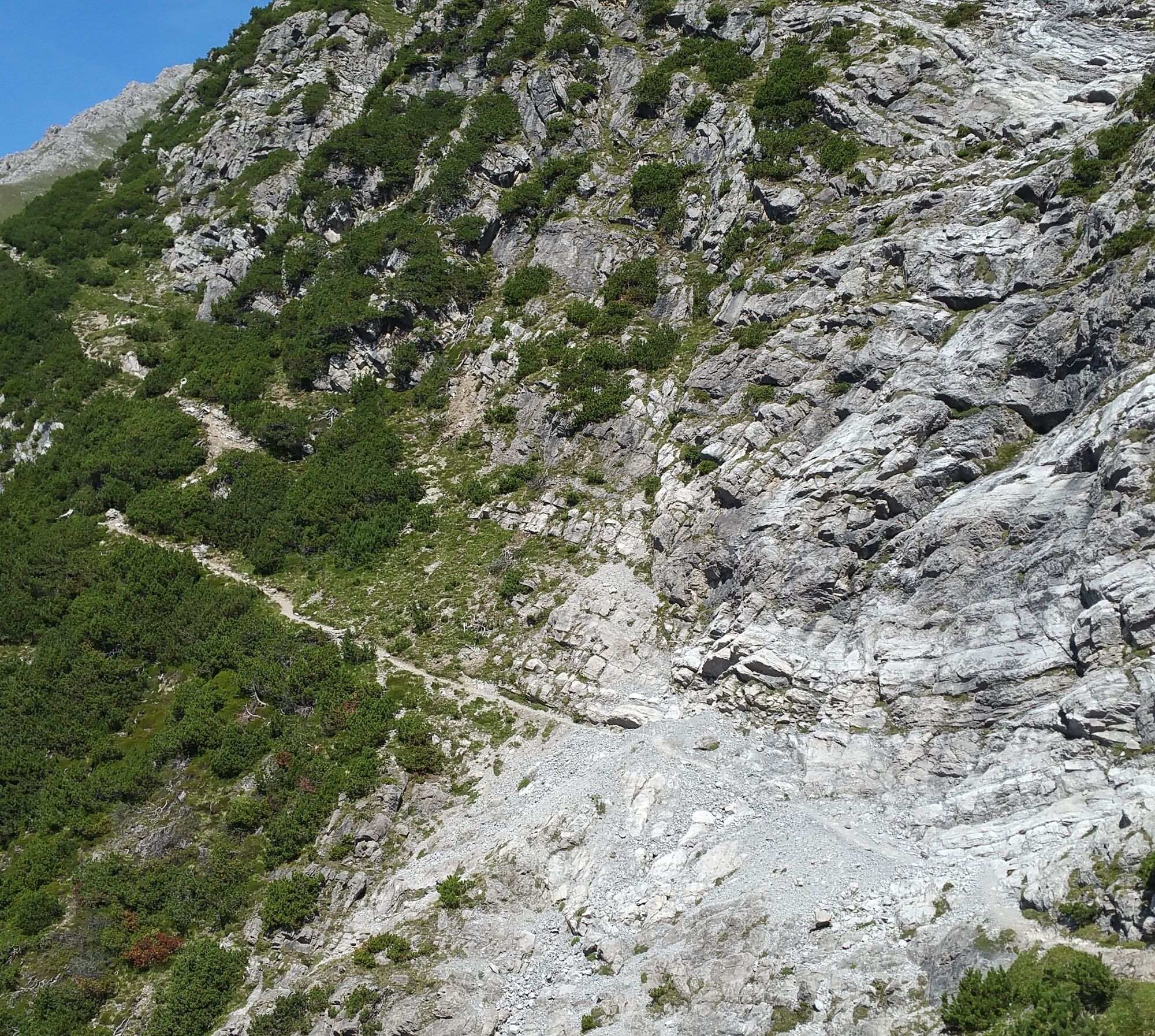

The fastest approach is from the Douglass Hut at the Lünersee via the Saulajoch. Follow the signpost "Saulajoch" to the Saulajoch. At the Saulajoch there is already a signpost "Via Ferrata Saulakopf to the start 10 min." (direction Heinrich Hueter Hut). Shortly after the H. Hueter Hut comes into view, you reach a signposted fork where the path to the start of the Saulakopf via ferrata leads off to the left.
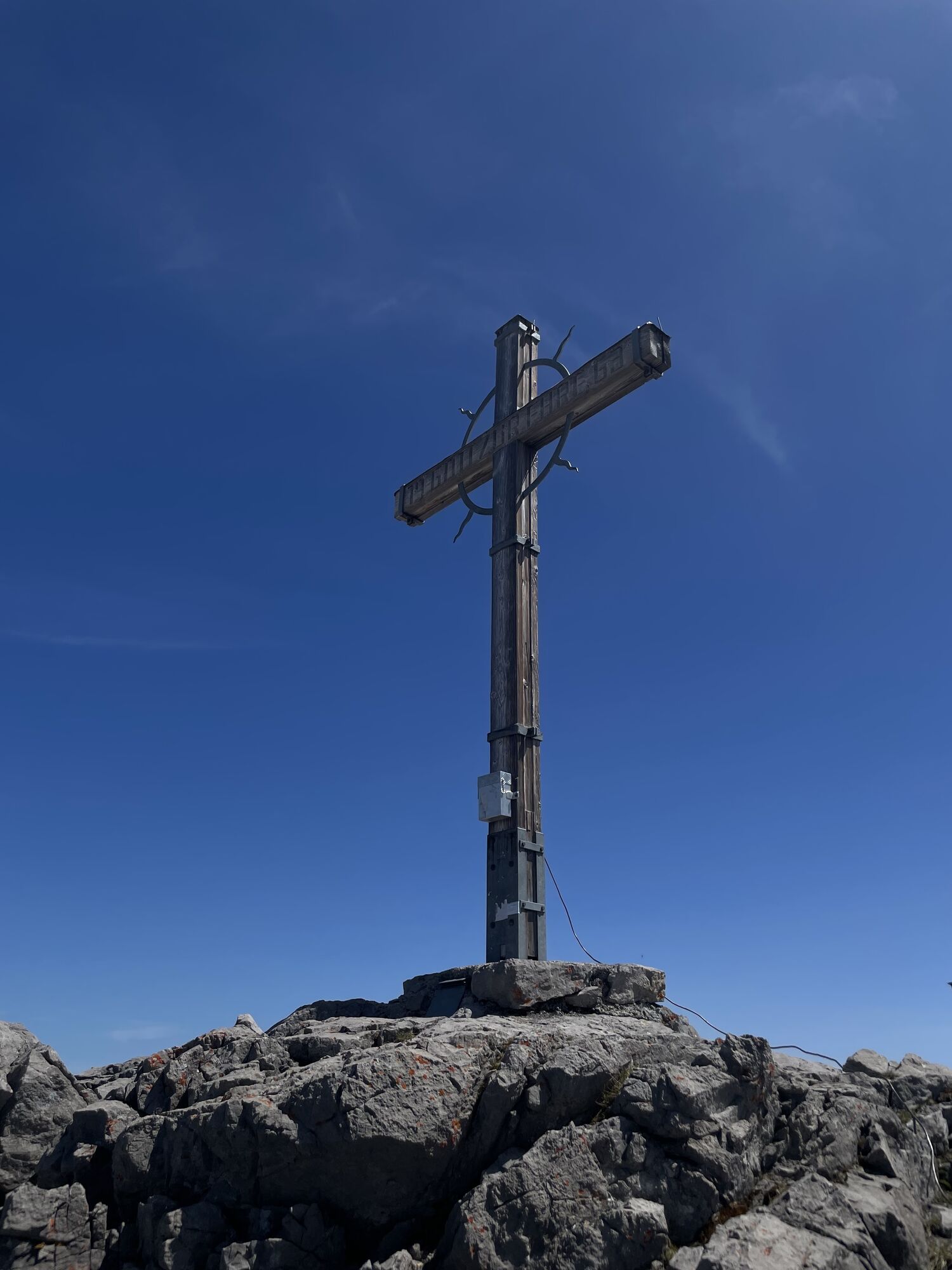
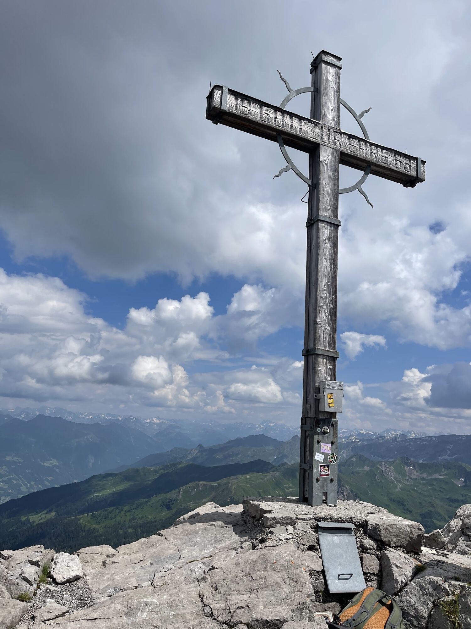
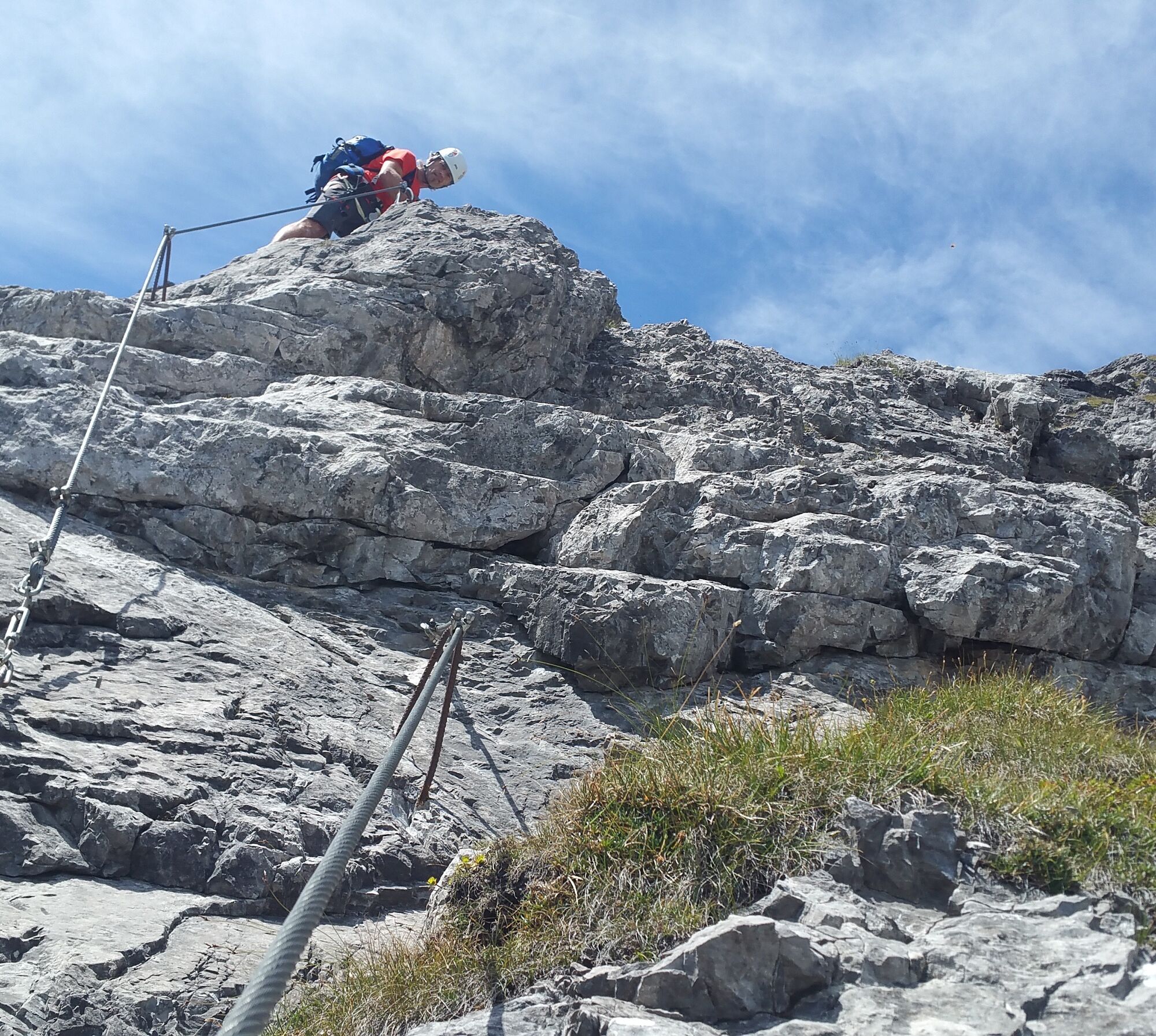
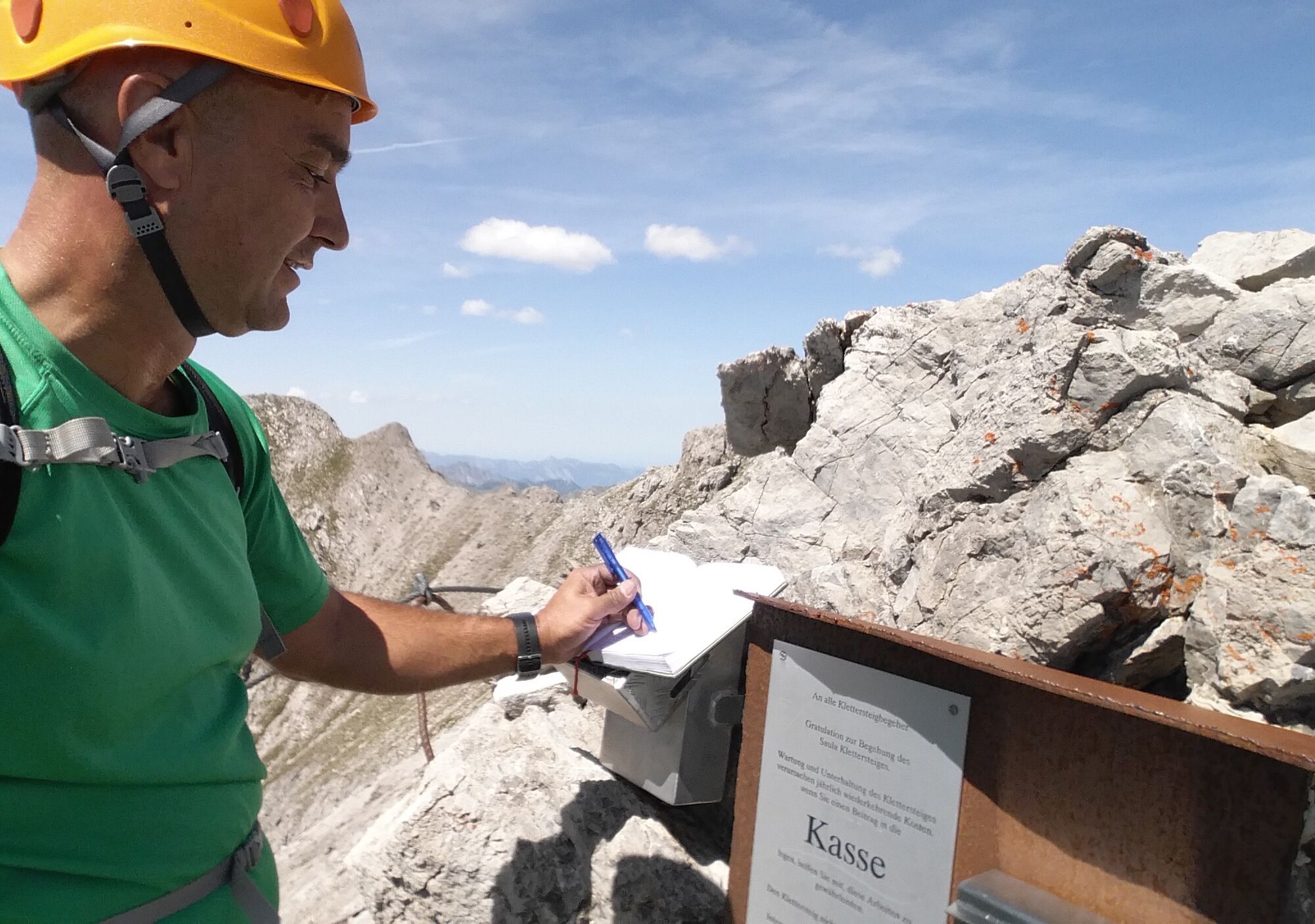
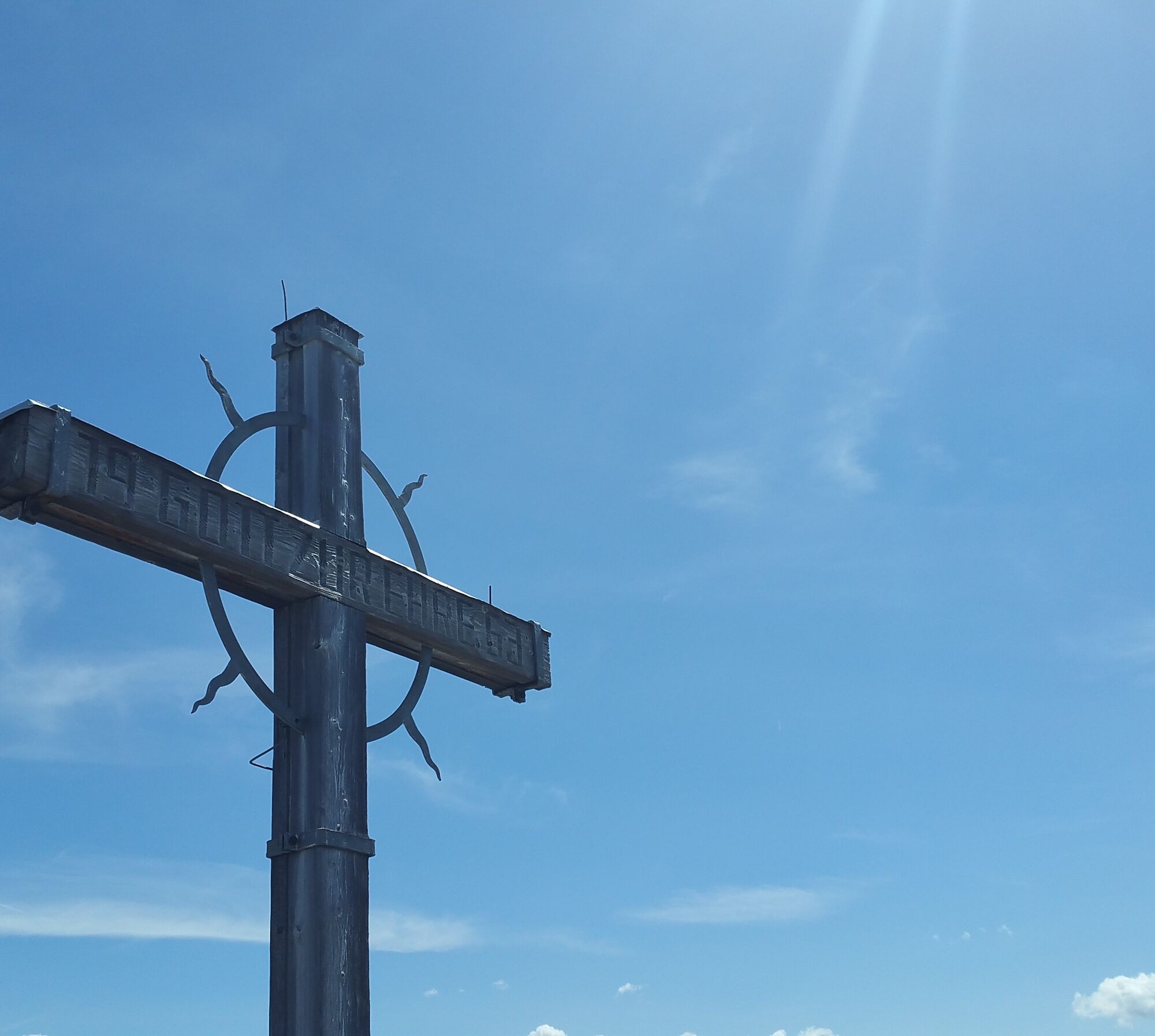
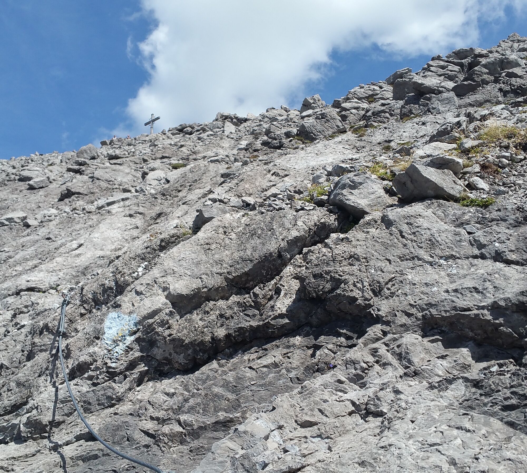
The key point is just after the start. You have to overcome a slightly overhanging wall about 15 m high. Afterwards, the steel cable often leads vertically and airy up to the summit of Saulakopf (2,516 m). In the upper third, a spectacular rope bridge awaits you, which can also be bypassed.
The descent leads from the summit via an exposed, partly secured but marked path to the Saulajoch (Saulakopf normal route). Risky when wet, fresh snow, or icy!
Tak
Tak
Complete climbing equipment (harness including via ferrata set, helmet, and gloves) as well as proper footwear (sturdy ankle-high mountain boots with a good profile) are absolutely required.
You should always have a backpack with food, sun and rain protection, and a first aid kit with you.
Via ferrata sets rental
EMERGENCY CALL: 144
Euro emergency call: 112 (works with any mobile phone/network)
www.vorarlberg.travel/sicherheitstipps
Take the A14 to the Brandnertal exit and continue on the L82 to Brand to the valley station of the Lünerseebahn.
Just leave your car standing
The local buses operate throughout Montafon. The main lines run every half hour from Schruns station.
From Schruns station, you can reach Bludenz with the S4/Montafonerbahn.
Bus stop for the start/finish of the route: Brand Lünerseebahn/ Line 81
Timetable: www.vmobil.at
Arrival by train to Montafon
From Bludenz station, the Montafonerbahn runs hourly (sometimes every half hour). There are also direct connections from Lindau (D) and from Bregenz.
Timetable: www.oebb.at
Valley station Lünerseebahn Brand (paid)
C/D
The via ferrata is very well secured with a continuous steel cable.
The airy ladder bridge on the ridge can also be bypassed. The descent can often be tricky when wet.

 Uzyskaj wgląd
Zawsze na żywo z ponad 9 500 kamer internetowych. bergfex Jako użytkownik Pro, możesz teraz zobaczyć odpowiednie kamery internetowe dla wielu wycieczek w aplikacji wycieczki od. Pozwala to na bezpośredni podgląd aktualnych warunków.
Uzyskaj wgląd
Zawsze na żywo z ponad 9 500 kamer internetowych. bergfex Jako użytkownik Pro, możesz teraz zobaczyć odpowiednie kamery internetowe dla wielu wycieczek w aplikacji wycieczki od. Pozwala to na bezpośredni podgląd aktualnych warunków.

Popularne wycieczki w okolicy
-
5,0
Ski tour to the Lindauer Hut (1,744 m)
światłoWycieczka narciarska 14,0 km -
5,0
Bürs, Bürserschlucht Bürs, Vorarlberg
średniWędrówka 5,31 km -
4,6
Over the historic mine and Fritzensee to Rellseck
średniWędrówka 7,25 km -
4,4
Golm-Rundwanderweg im Rätikon
średniTrasa tematyczna 7,28 km -
4,9
Douglasshütte, Lünersee, Gafalljoch Brand bei Bludenz, Vorarlberg
światłoWędrówka 9,16 km -
4,9
Douglashütte - Schesaplana
średniWędrówka 7,31 km -
4,3
Golmerbahn Bergstaion Grüneck - Golmer Höhenweg - Geißspitze - Lindauer Hütte - Latschau
średniWędrówka 11,5 km -
4,2
Mondspitze (Montspitze)
średniWędrówka 7,97 km -
3,7
Fürstin-Gina-Weg
Wędrówka 10,7 km -
3,8
Sassweg - von Malbun zum Sass-Seelein
Wędrówka 4,14 km
Wędrówki i tropienie


Nie przegap ofert i inspiracji na następne wakacje
Twój adres e-mail została dodana do listy mailingowej.





