







Via ferrata Kleinlitzner
Poziom trudności: B/C
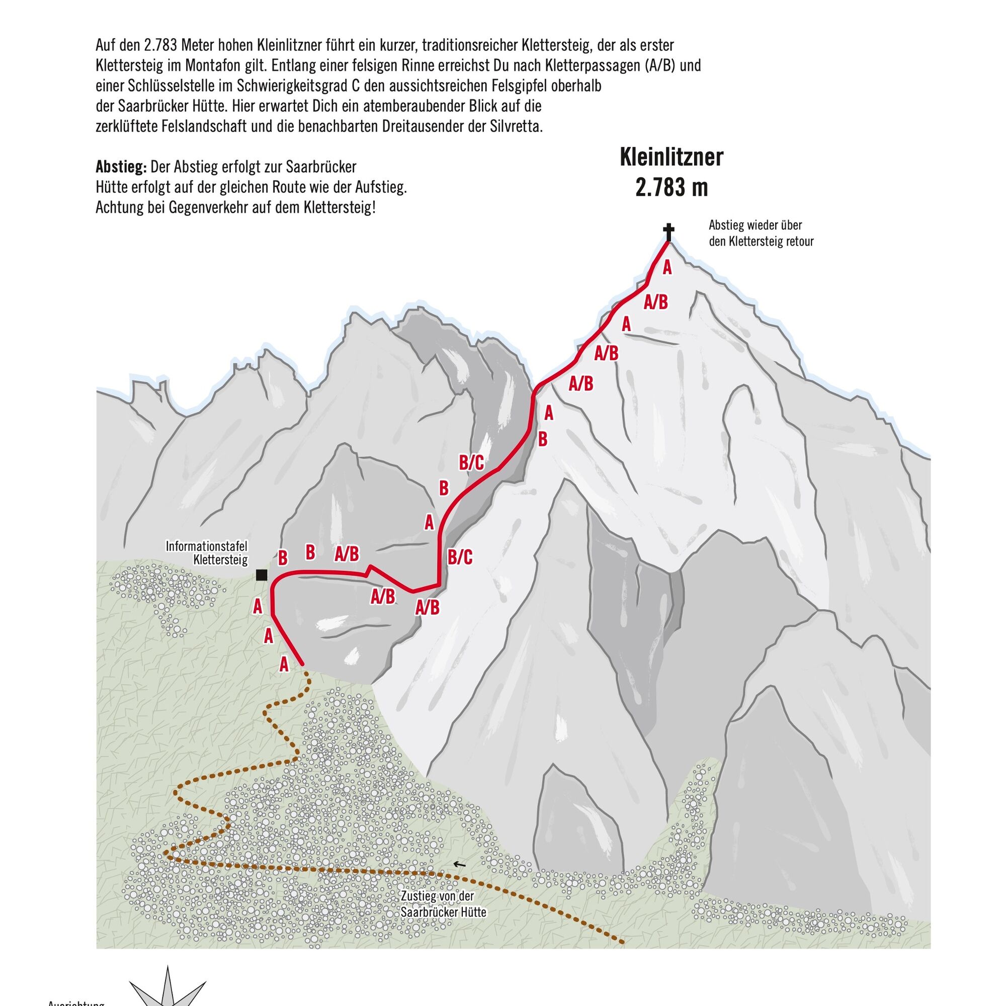
A short, traditional via ferrata leads to the 2,783-meter-high Kleinlitzner, regarded as the first via ferrata in Montafon. Along a rocky gully, after easy climbing sections (A/B) and a key spot with difficulty...
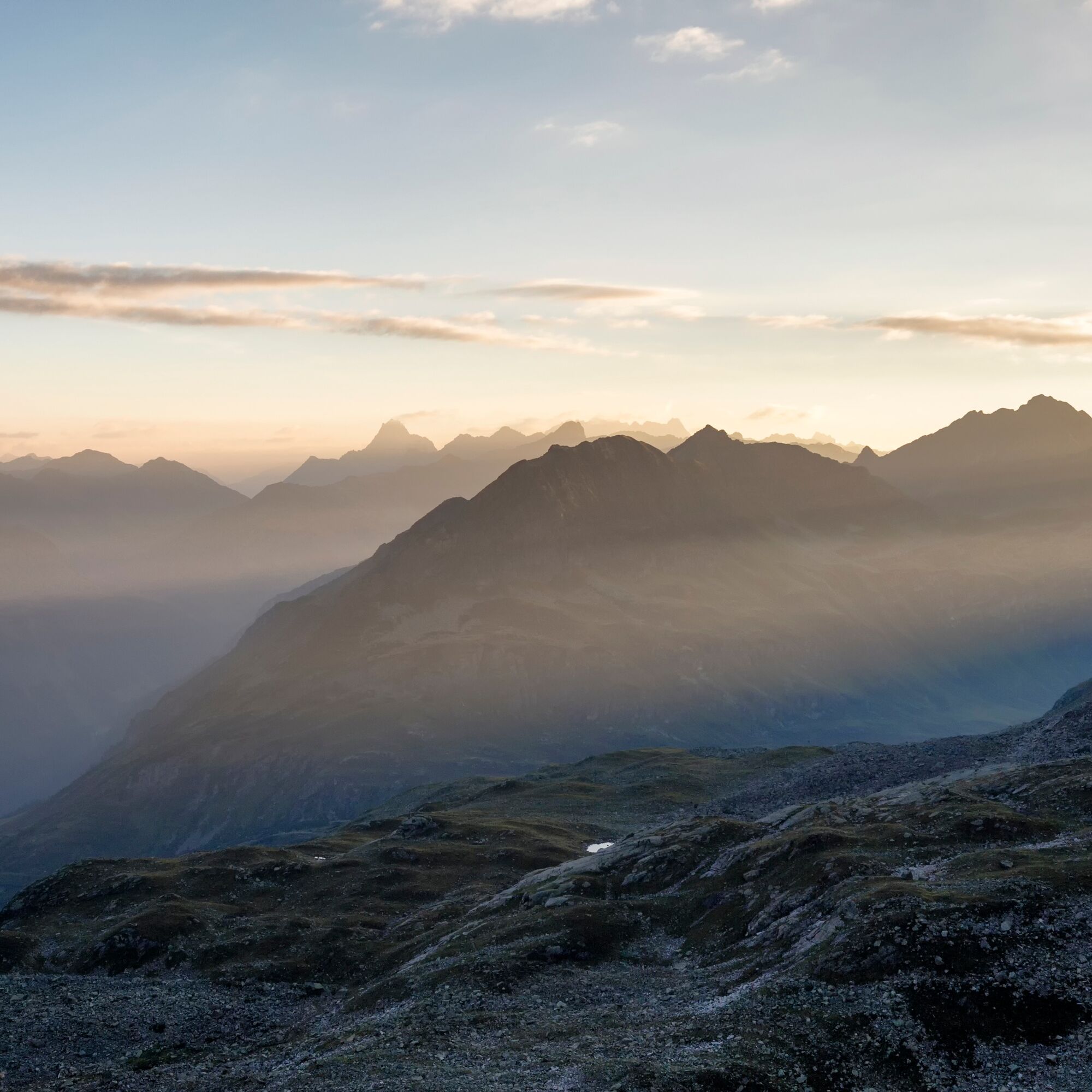
A short, traditional via ferrata leads to the 2,783-meter-high Kleinlitzner, regarded as the first via ferrata in Montafon. Along a rocky gully, after easy climbing sections (A/B) and a key spot with difficulty grade C, you reach the scenic summit above the Saarbrücker Hut. Here you will experience a breathtaking view of the rugged rock landscape and the neighboring three-thousand-meter peaks of the Silvretta.
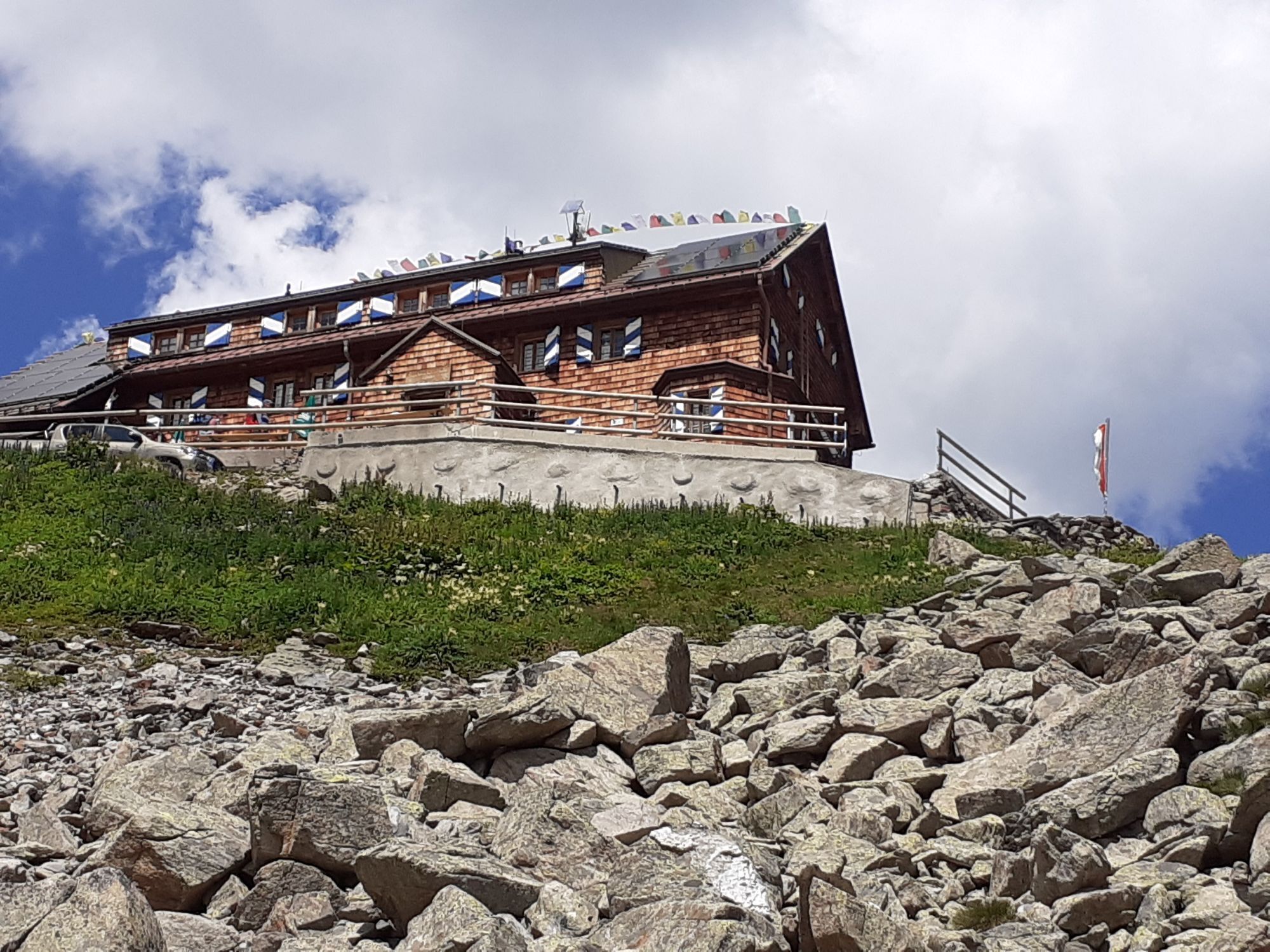
Approach: Directly behind the Saarbrücker Hut rises the rock formation of Kleinlitzner. The entry to the via ferrata is about 350 meters south of the hut and is easily accessible.
Descent: The descent to the Saarbrücker Hut follows the same route as the ascent. Be cautious of oncoming traffic on the via ferrata!

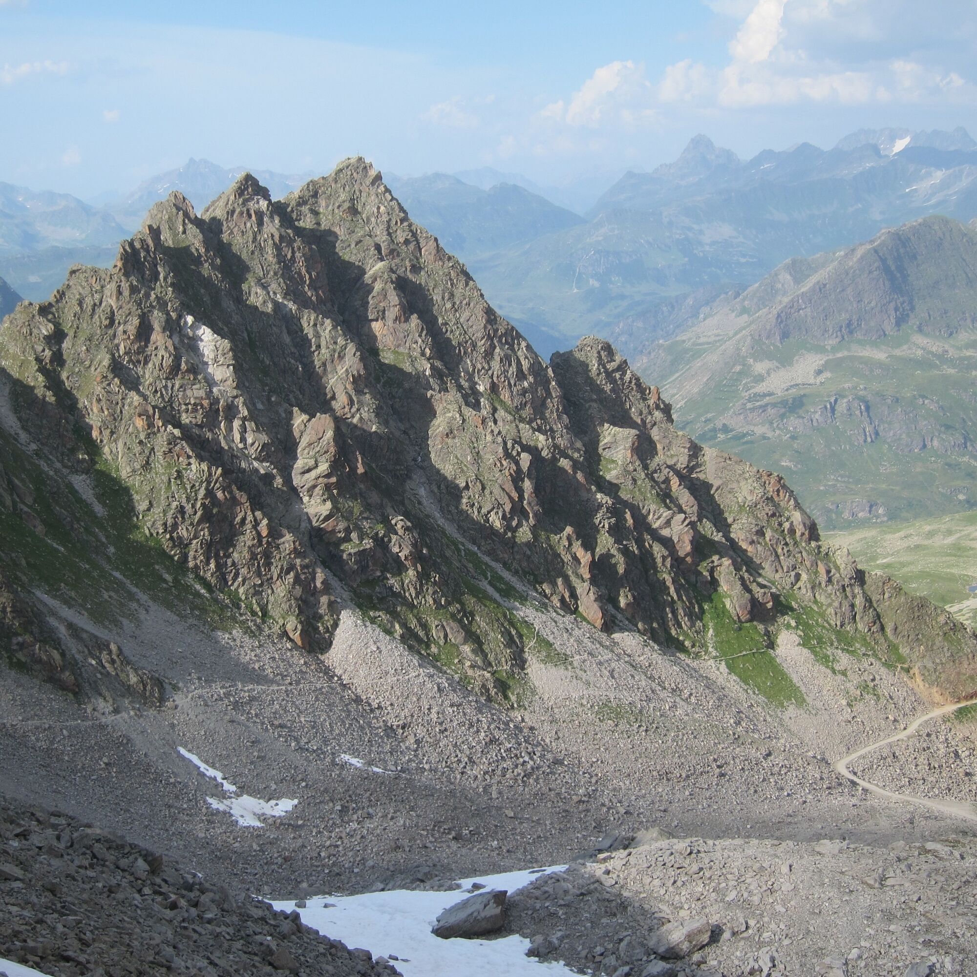
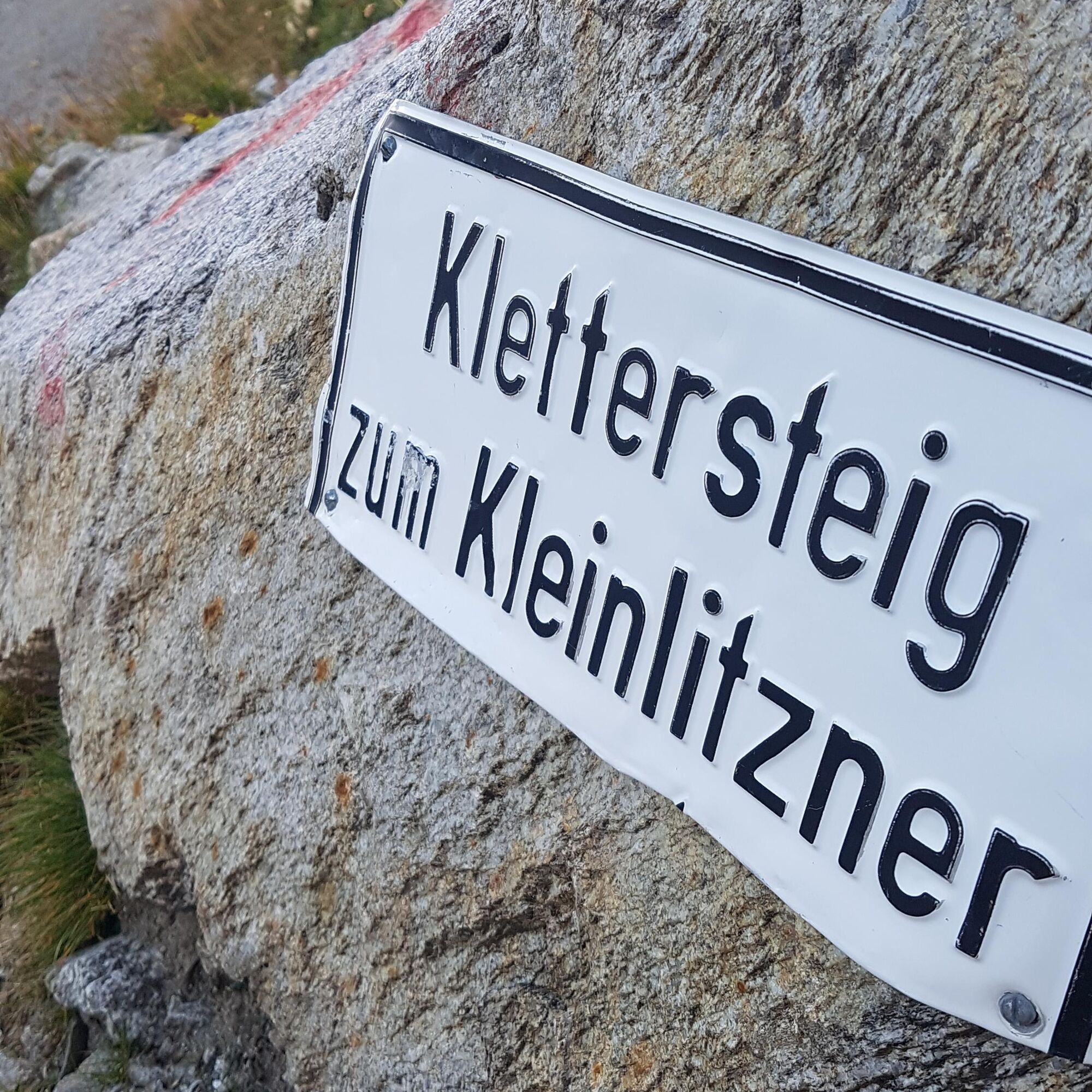
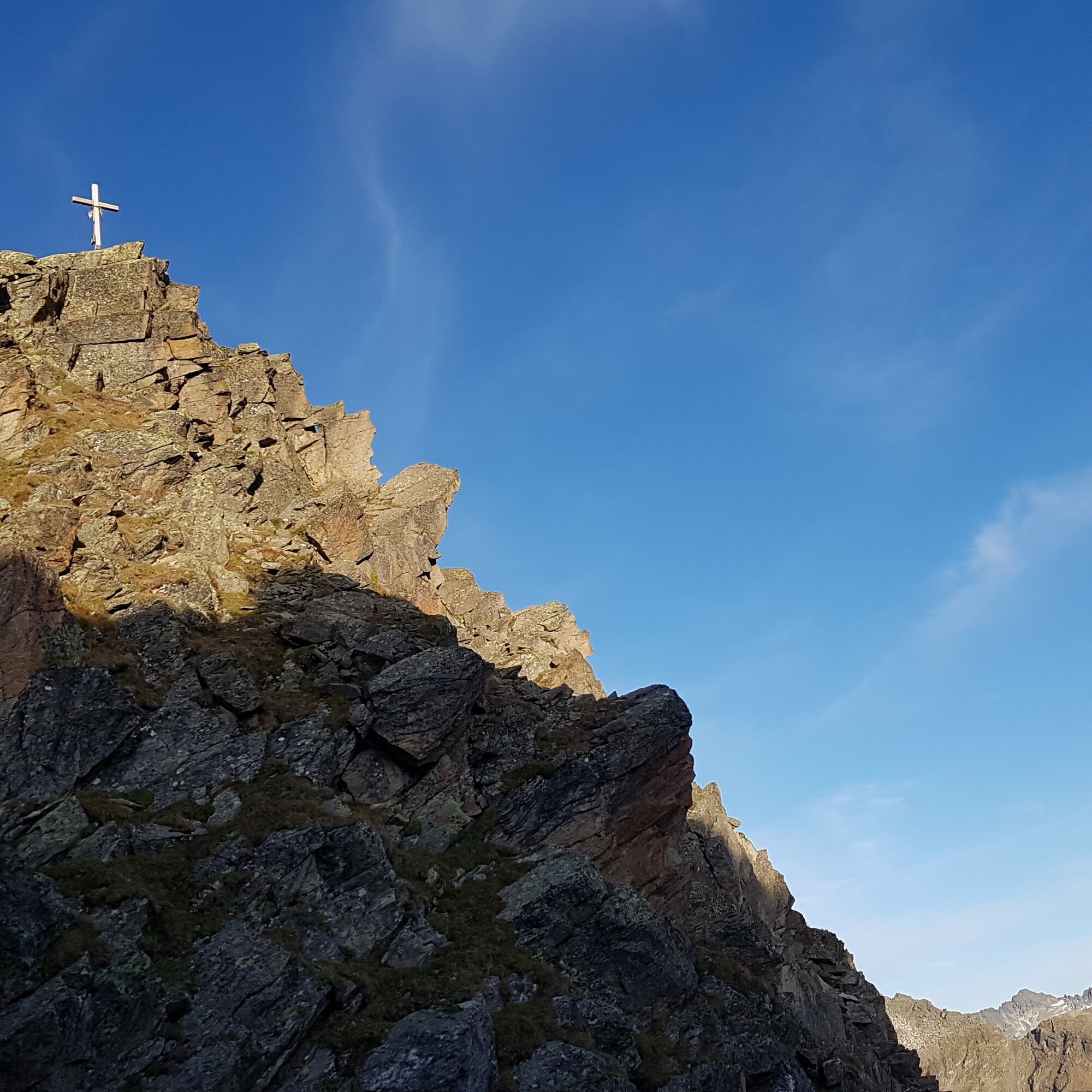
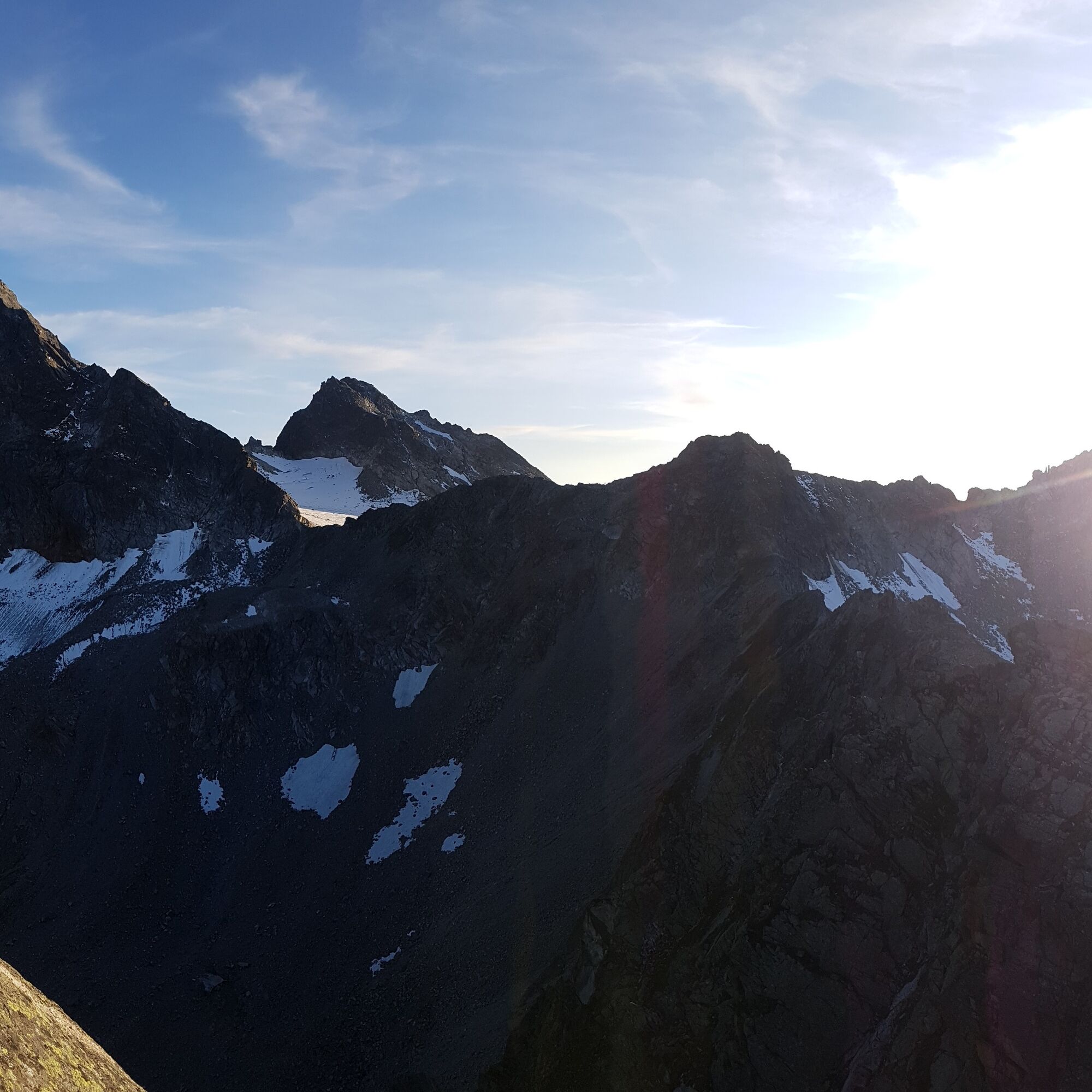
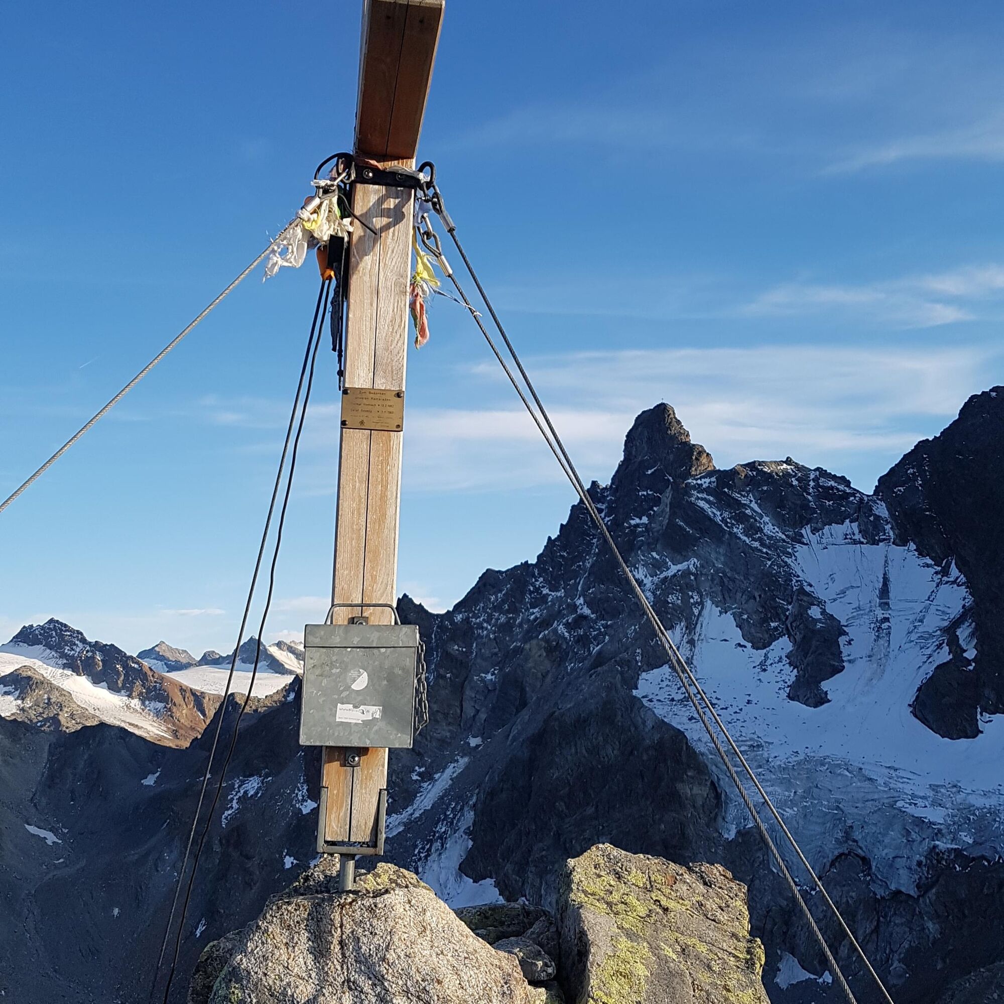
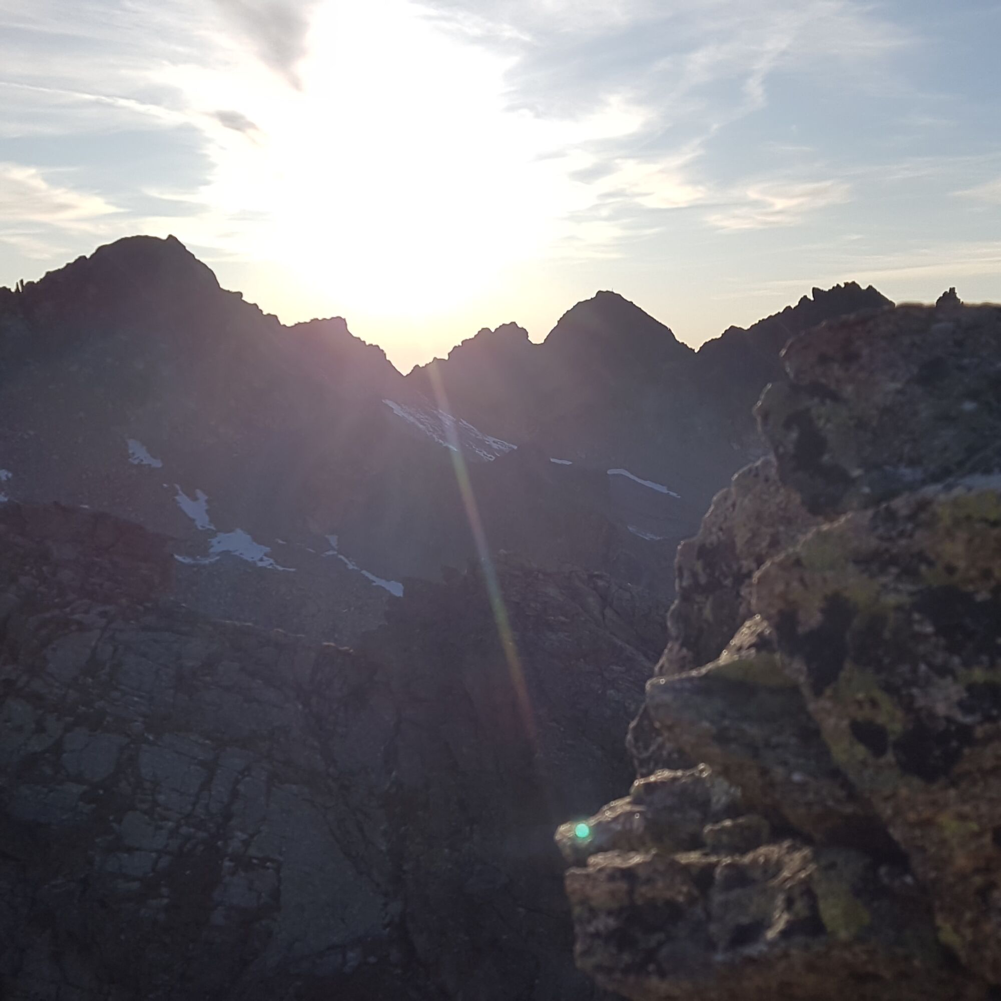
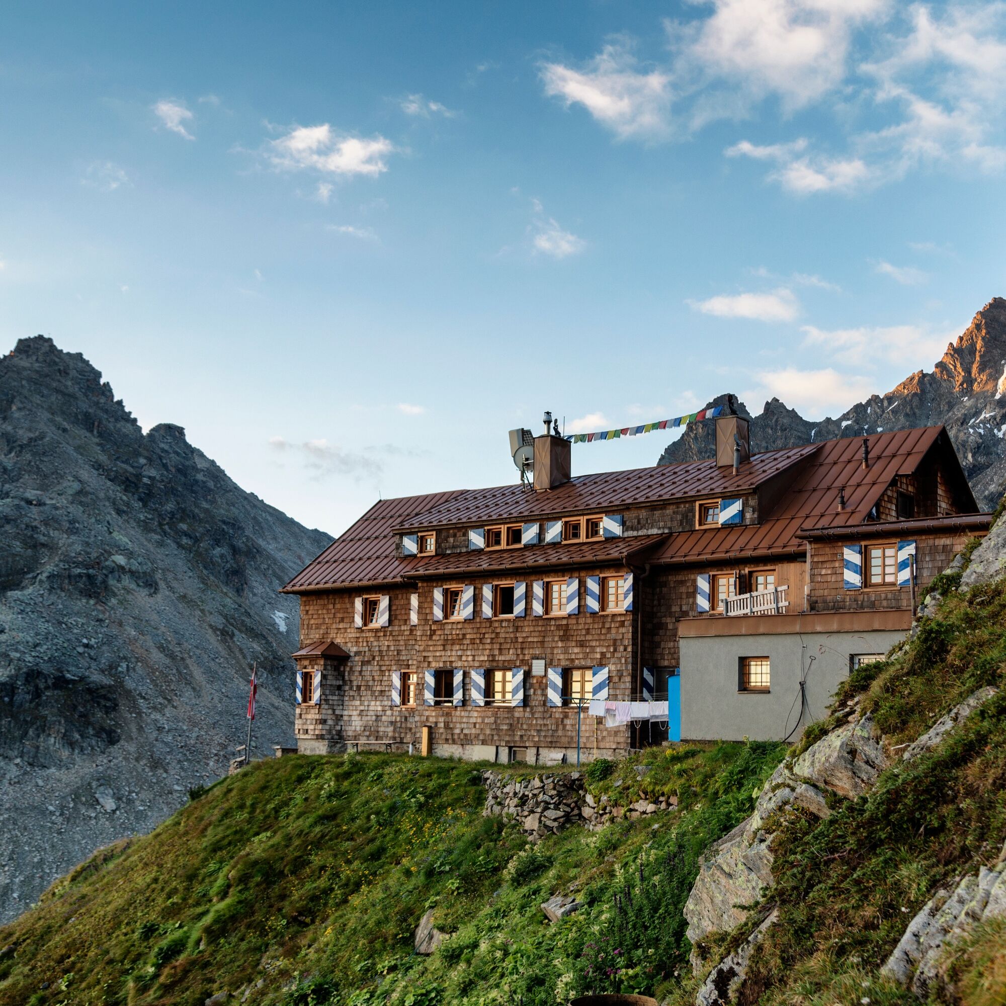
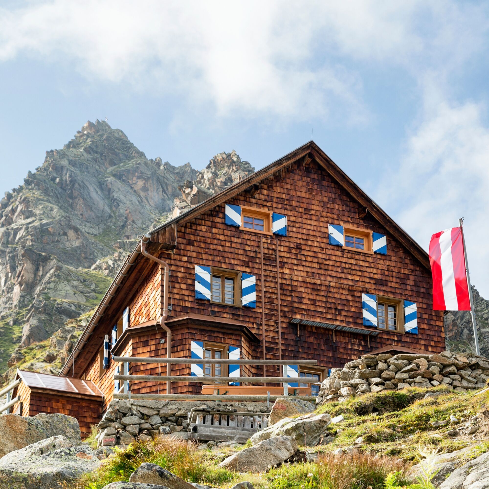
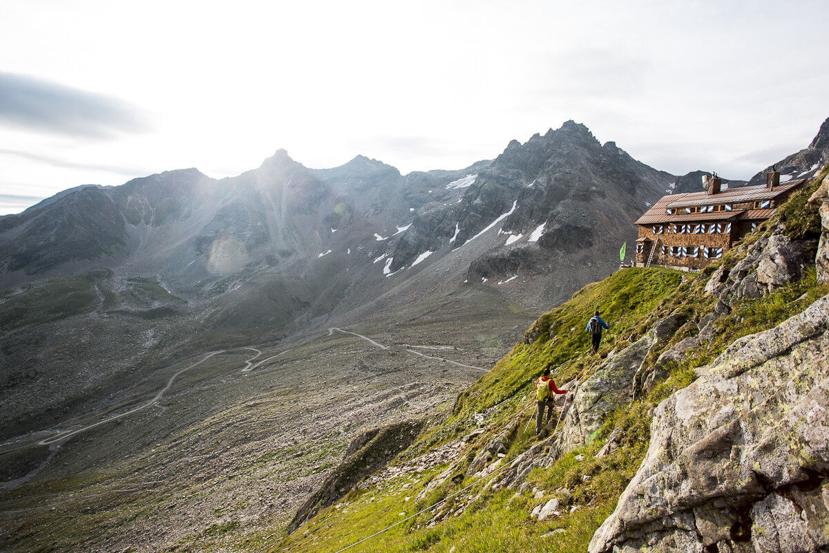

Next to the Saarbrücker Hut (2,538 m) rises the rock formation of Kleinlitzner. This mountain offers an ideal base for all via ferrata climbers and alpine climbers. The start of the via ferrata begins about 350 m away from the hut and is easily reachable.
The descent is on the same path. That is, you have to climb down the via ferrata again to return to the Saarbrücker Hut.
Tak
Tak
Complete climbing equipment (harness including via ferrata set, helmet, and gloves) as well as proper footwear (sturdy ankle-high mountain boots with a good tread) are absolutely necessary.
You should also always carry a backpack with provisions, sun and rain protection, and a first aid kit.
Via ferrata sets rental
European emergency number 112 (works with any mobile phone/network)
www.vorarlberg.travel/sicherheitstipps
Take the A14 to the Bludenz/Montafon exit and continue on Montafonerstraße L188 to Partenen. Then you reach the starting point at Silvretta-Bielerhöhe via the Silvretta High Alpine Road (toll road).
Just leave your car standing
The regional buses operate throughout Montafon. The main lines run at half-hour intervals from Schruns train station.
Bus stop at the start/finish of the route: Partenen Vermuntsee / Line 650 (walking path to/from Saarbrücker Hut)
Timetable: www.vmobil.at
Arrival by train to Montafon
From Bludenz station, the Montafonerbahn runs hourly (partly half-hourly). There are also direct connections from Lindau (D) and from Bregenz.
Timetable: www.oebb.at
Vermuntsee parking lot
B/C
The via ferrata is secured with a continuous steel cable and step pins.
To shorten the approach to the Saarbrücker Hut, a ride with the (e-)mountain bike is recommended.
Uzyskaj wgląd
Zawsze na żywo z ponad 9 500 kamer internetowych. bergfex Jako użytkownik Pro, możesz teraz zobaczyć odpowiednie kamery internetowe dla wielu wycieczek w aplikacji wycieczki od. Pozwala to na bezpośredni podgląd aktualnych warunków.
Popularne wycieczki w okolicy
-
4,7
Smuggler’s path
średniTrasa tematyczna 8,60 km -
4,9
Hiking trail Piz Buin - view
średniWędrówka 14,4 km -
4,5
Madrisella summit path
średniTrasa tematyczna 10,8 km -
4,8
Heilbronner lodge
średniWędrówka 13,0 km -
4,8
Jöriseen
średniWędrówka 11,3 km -
3,2
Bielerhöhe and circular hike around the Silvretta reservoir
średniWędrówka 13,1 km -
5,0
Menta Alm - Scheibenalm
światłoWędrówka 11,4 km -
4,8
Madrisella via ferrata
ciężkiVia ferrata 8,52 km -
4,6
Gargellner Window Path
średniTrasa tematyczna 7,21 km -
4,5
Vom Kopssee zur Breitspitze Gemeinde Gaschurn, Vorarlberg/Österreich
średniWędrówka 12,5 km
Wędrówki i tropienie


Nie przegap ofert i inspiracji na następne wakacje
Twój adres e-mail została dodana do listy mailingowej.





