







Kälbersee via ferrata
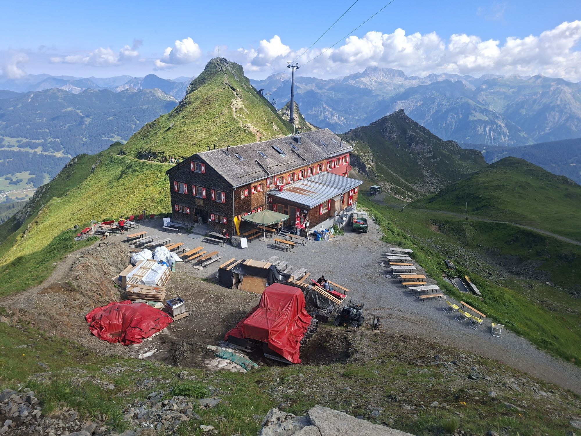
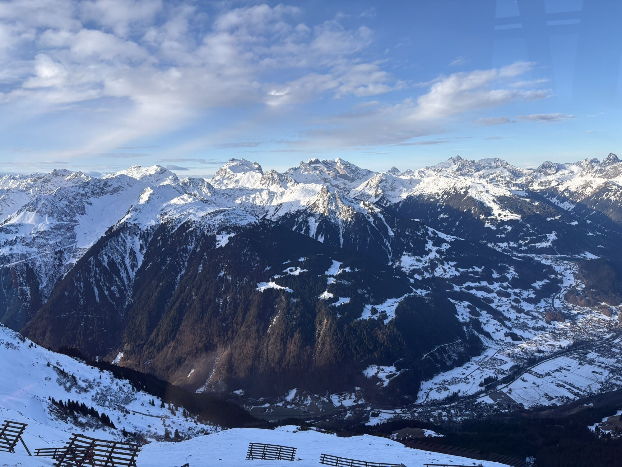
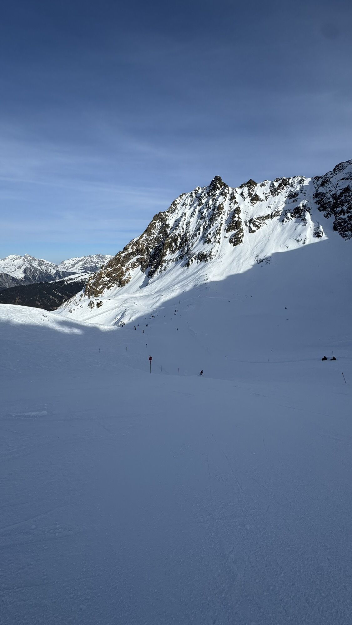
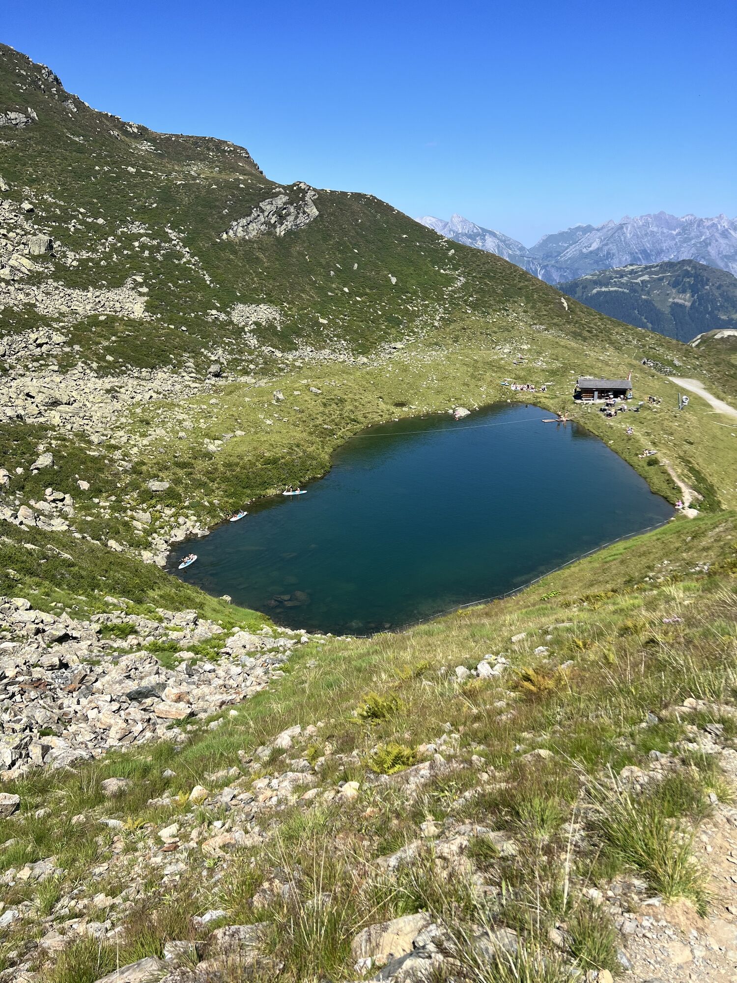
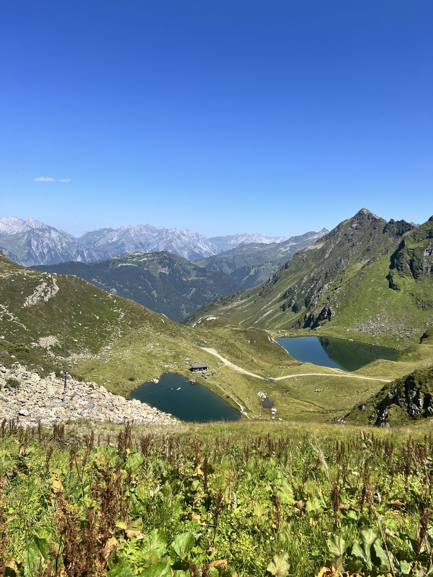
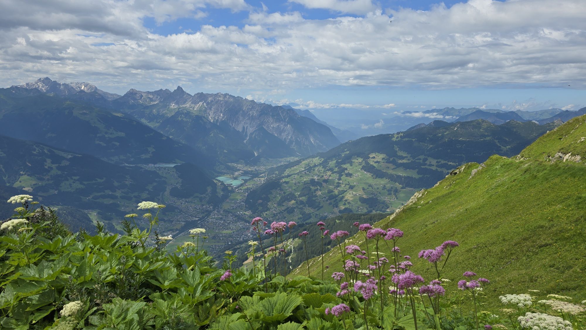
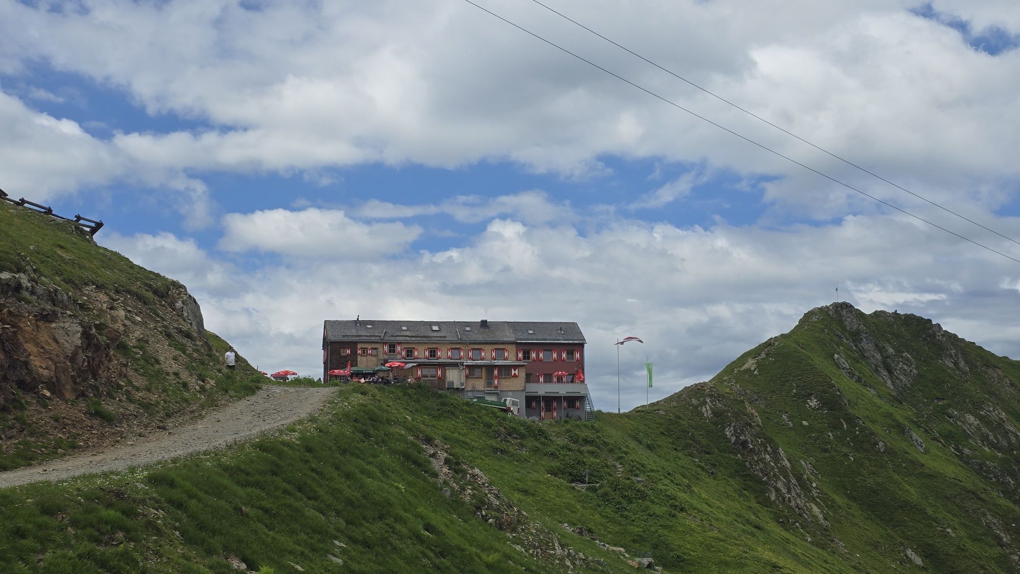
As the name suggests, this practice via ferrata is located directly by the idyllic Kälbersee in the Seetal/Hochjoch hiking area. From the Seetalhüsli you have the ideal overview of the routes waiting for...
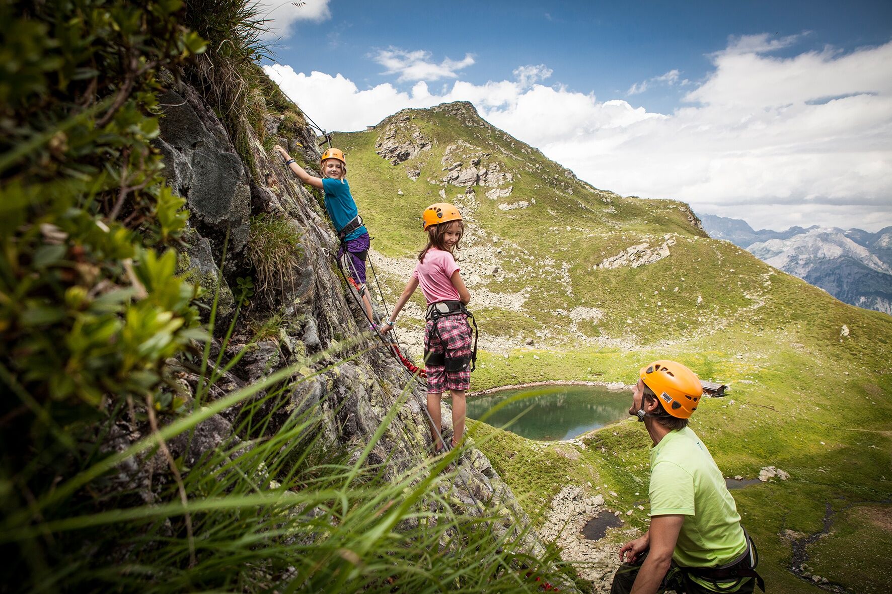
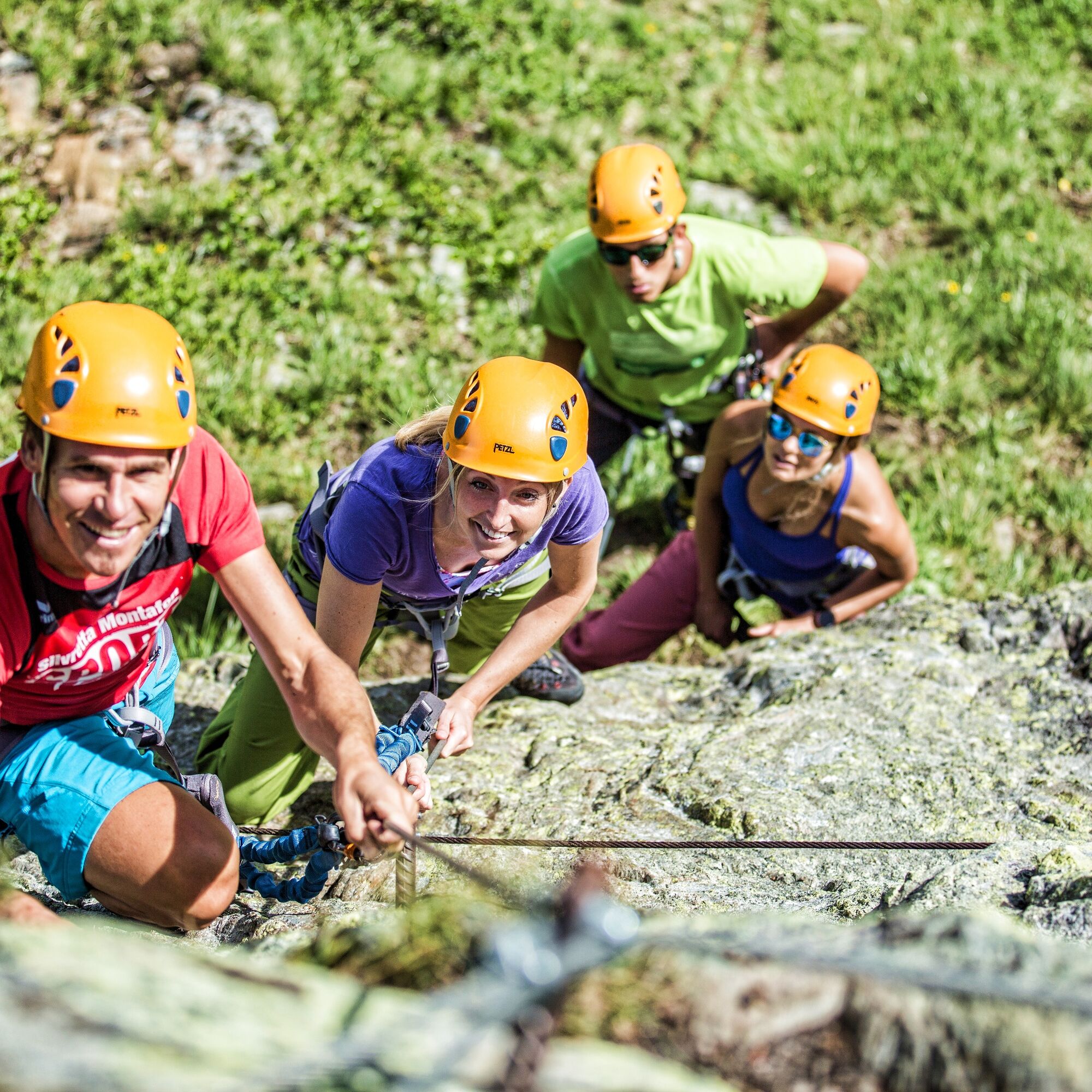
As the name suggests, this practice via ferrata is located directly by the idyllic Kälbersee in the Seetal/Hochjoch hiking area. From the Seetalhüsli you have the ideal overview of the routes waiting for you here. Beginners approach the via ferrata in difficulty grades A and B, experienced climbers find their terrain at the Kälbersee practice via ferrata with variants C and D. Since the variant D deliberately avoids iron steps, you can improve your climbing on rock on this demanding route – with lake view included.
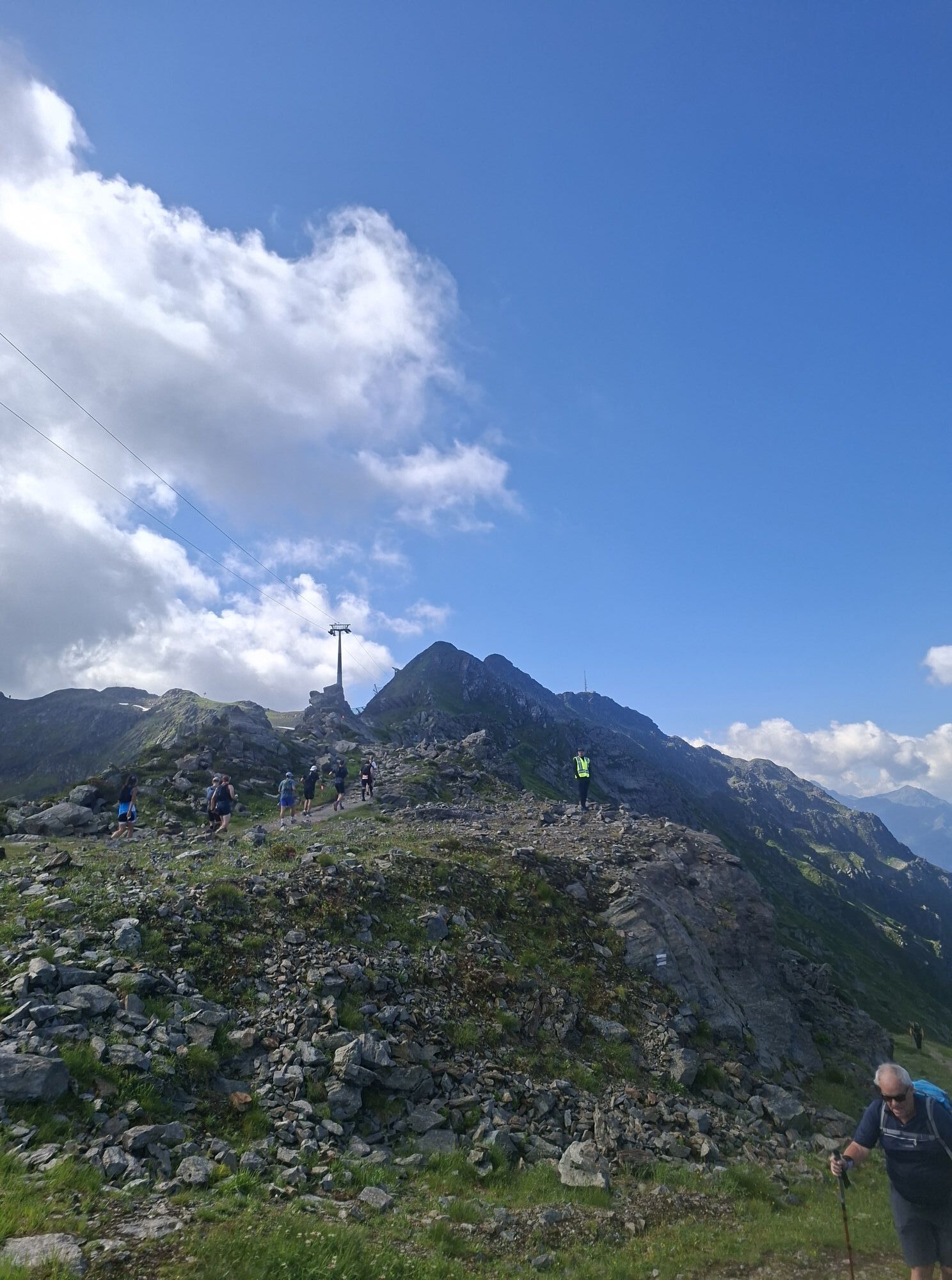
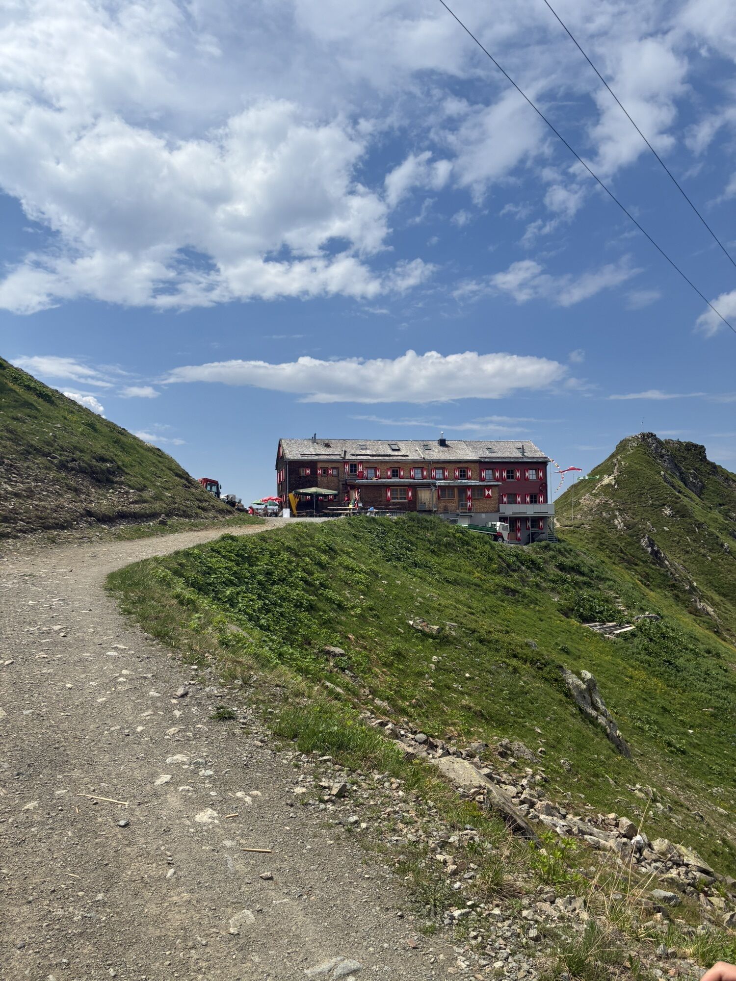
Approach: From the mountain station of the Hochjoch Bahn, follow the "Seetalwanderung" trail to the Seetalhüsli. Or from the mountain station of the Sennigrat Bahn, it’s 15 minutes downhill to the Kälbersee. Starting point is the Seetalhüsli.
Descent: From the exit of the via ferrata follow the path further up to the "summit". On the backside it then goes gently down to the ski slope back to the Wormser Hütte, where you can return on foot or by the Sennigart Bahn back to the mountain station of the Hochjoch Bahn.

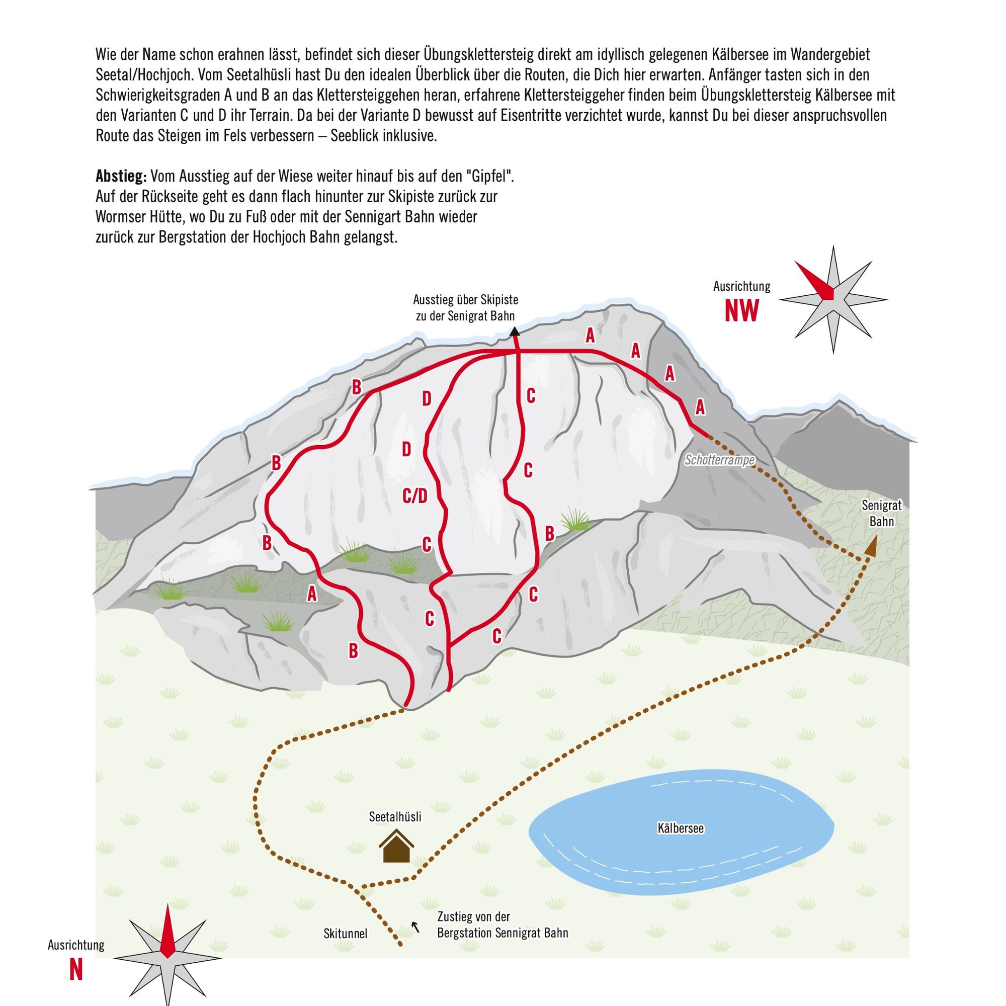
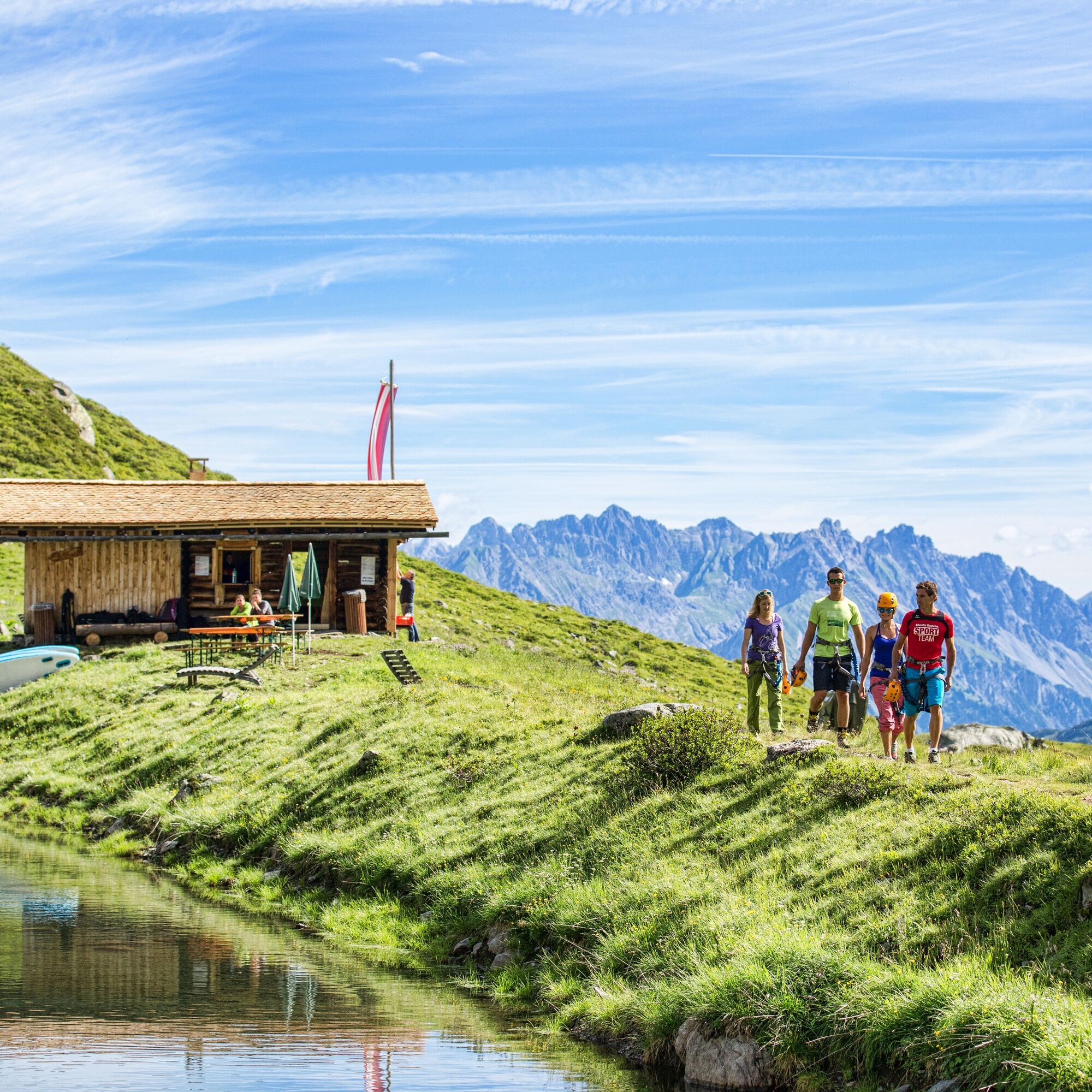
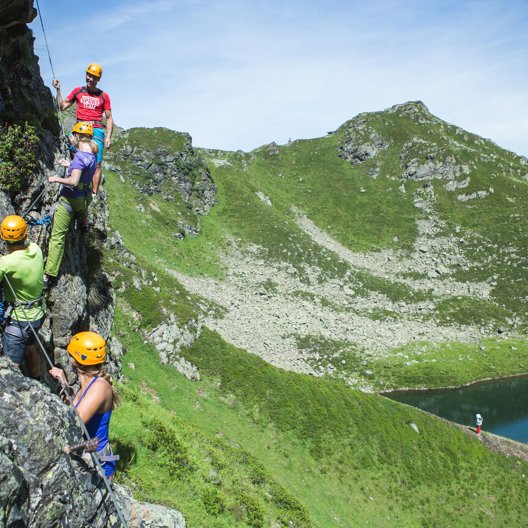
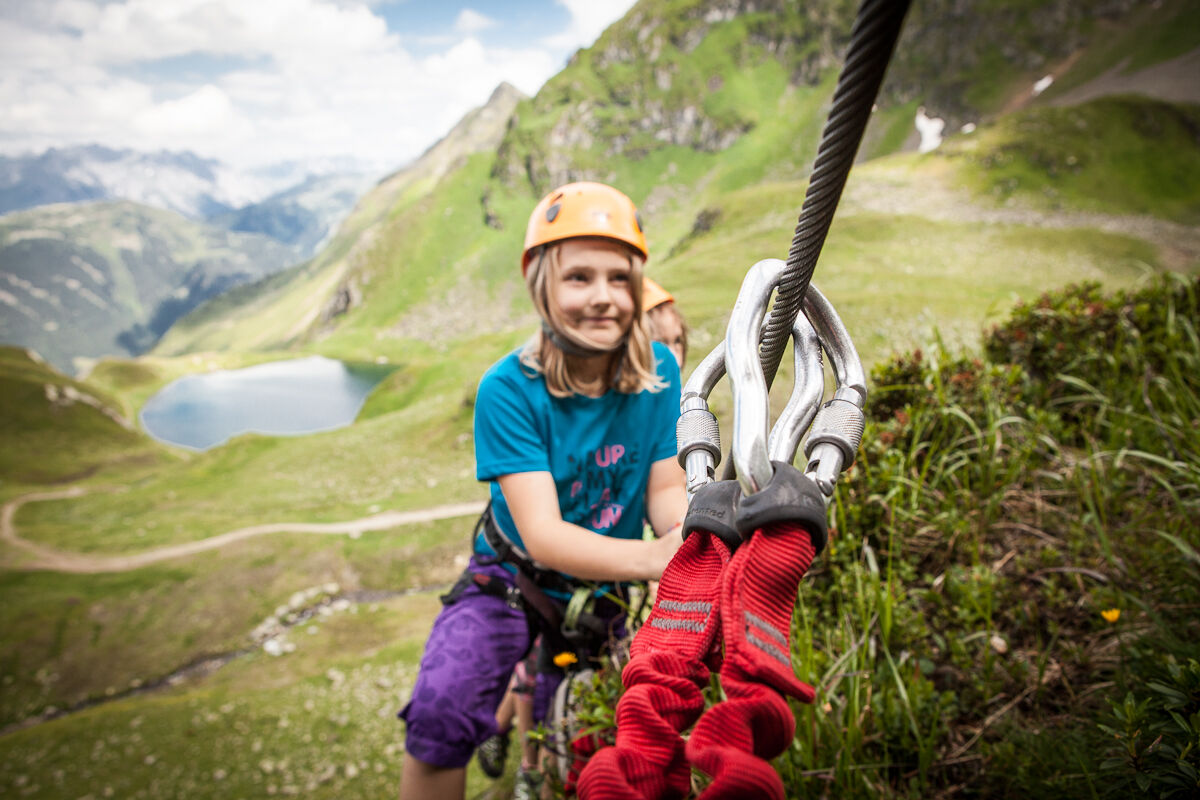

From the mountain station of the Sennigrat Bahn, you hike down to the Kälbersee. The start is located on the left side of the rock by the Kälbersee.
Tak
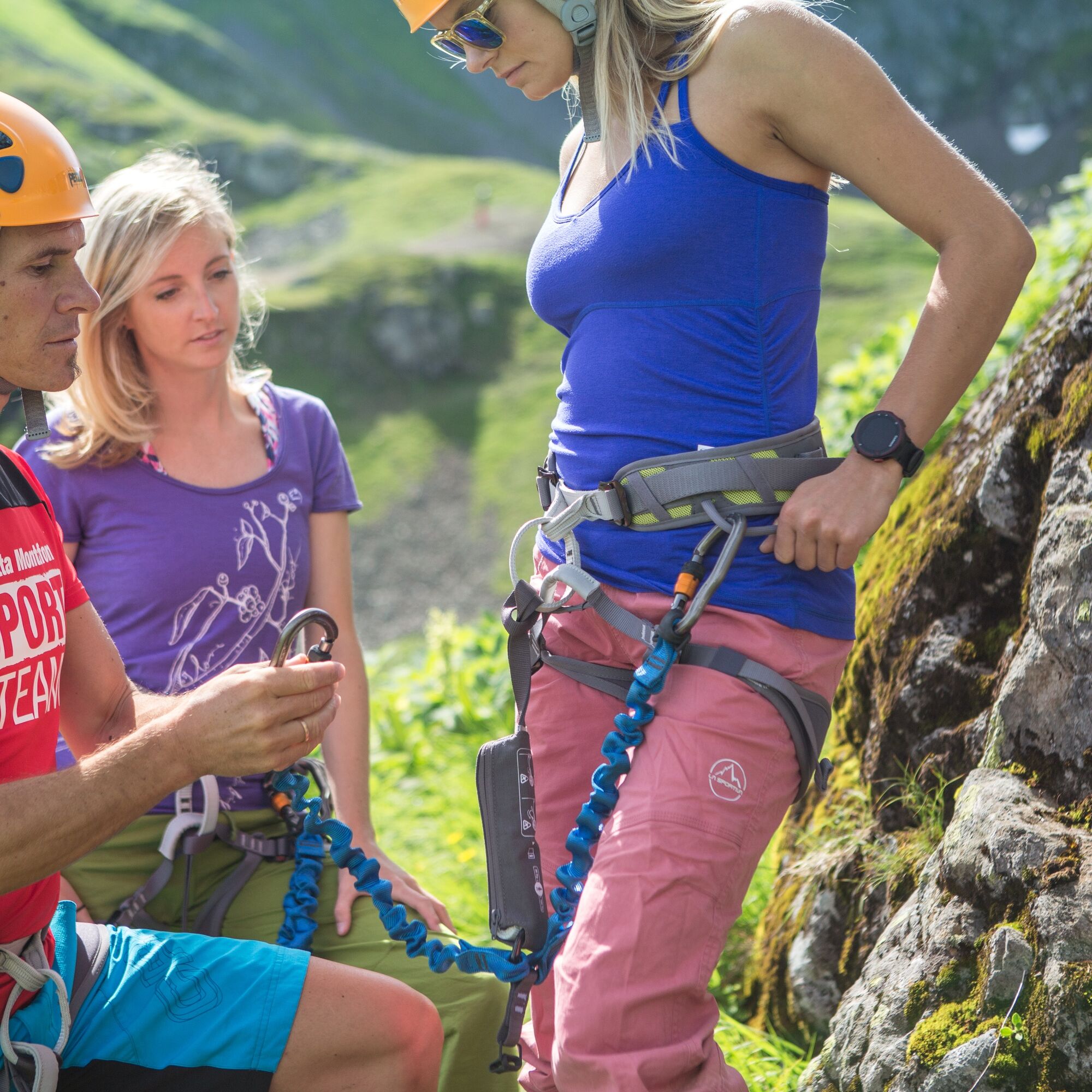
Complete climbing equipment (harness including via ferrata set, helmet, and gloves) as well as proper footwear (firm ankle-high mountain boots with good soles) are absolutely necessary.
You should also always carry a backpack with food, sun and rain protection, and a first aid kit.
Via ferrata sets rental
European emergency number: 112 (works with any mobile phone/network)
www.vorarlberg.travel/sicherheitstipps
Take the A14 to the exit Bludenz/Montafon and continue on Montafonerstraße L188 to Schruns. Follow the road into the town center, after the cemetery turn left towards the valley station of the Hochjoch Bahn.
Just leave your car parked
The regional buses run throughout the Montafon. The main lines depart every half hour from Schruns station.
Bus stop at the start/finish of the route: Schruns Hochjoch Bahn/ lines 2a, 2b, 85, 87
(also possible: Schruns Zamang Bahn/ lines 2a, 2b, 85, 87)
You can also reach the valley station of the Hochjoch Bahn on foot in about 5 minutes from Schruns station. (approx. 20 minutes to the valley station of the Zamang Bahn)
Timetable: www.vmobil.at
Arrival by train to Montafon
The Montafonerbahn runs hourly from Bludenz station (partly half-hourly). There are also direct connections from Lindau (D) and Bregenz.
Timetable: www.oebb.at
Valley station Hochjoch Bahn (paid)
The via ferrata is very well secured.
The via ferrata is very well secured and offers short routes for the whole family.
Kamery internetowe z trasy
Hochjoch Bahn Bergstation
Montafoner Kristbergbahn Bergstation
Panoramagasthof Kristberg
Panoramagasthof Kristberg
Kristberglift mit St. Agatha Kirche
Kinderland Skischule Silbertal
Bergstation Hochalpila Bahn
Silbertal Dorf
Innerberg
Silvretta-Montafon - Panorama Bahn
Tschagguns
Schruns
Bartholomäberg - Ferienhotel Fernblick
Wormserhütte
Wormserhütte
Kapellbahn
Bartholomäberg - Ferienhotel Fernblick
Bartholomäberg - Ferienhotel Fernblick
Bartholomäberg - Ferienhotel Fernblick
Uzyskaj wgląd Zawsze na żywo z ponad 9 500 kamer internetowych. bergfex Jako użytkownik Pro, możesz teraz zobaczyć odpowiednie kamery internetowe dla wielu wycieczek w aplikacji wycieczki od. Pozwala to na bezpośredni podgląd aktualnych warunków. Popularne wycieczki w okolicy
- 5,0
Ski tour to the Lindauer Hut (1,744 m)
światłoWycieczka narciarska 14,0 km - 4,7
Smuggler’s path
średniTrasa tematyczna 8,60 km - 4,4
Golm-Rundwanderweg im Rätikon
średniTrasa tematyczna 7,28 km - 4,6
Over the historic mine and Fritzensee to Rellseck
średniWędrówka 7,25 km - 4,3
Golmerbahn Bergstaion Grüneck - Golmer Höhenweg - Geißspitze - Lindauer Hütte - Latschau
średniWędrówka 11,5 km - 4,7
Kristberg - Wasserstubental - Silbertal
światłoWędrówka 13,8 km - 4,5
Madrisella summit path
średniTrasa tematyczna 10,8 km - 4,8
Heilbronner lodge
średniWędrówka 13,0 km - 4,9
Alpgues Runde
średniWędrówka 9,21 km - 4,1
Stuben - Stubner See - Kaltenberghütte - Stuben
średniWędrówka 9,90 km
Wędrówki i tropienie


Nie przegap ofert i inspiracji na następne wakacje
Twój adres e-mail została dodana do listy mailingowej.





