






Winterwanderung Waidring Rund um den Mühlberg
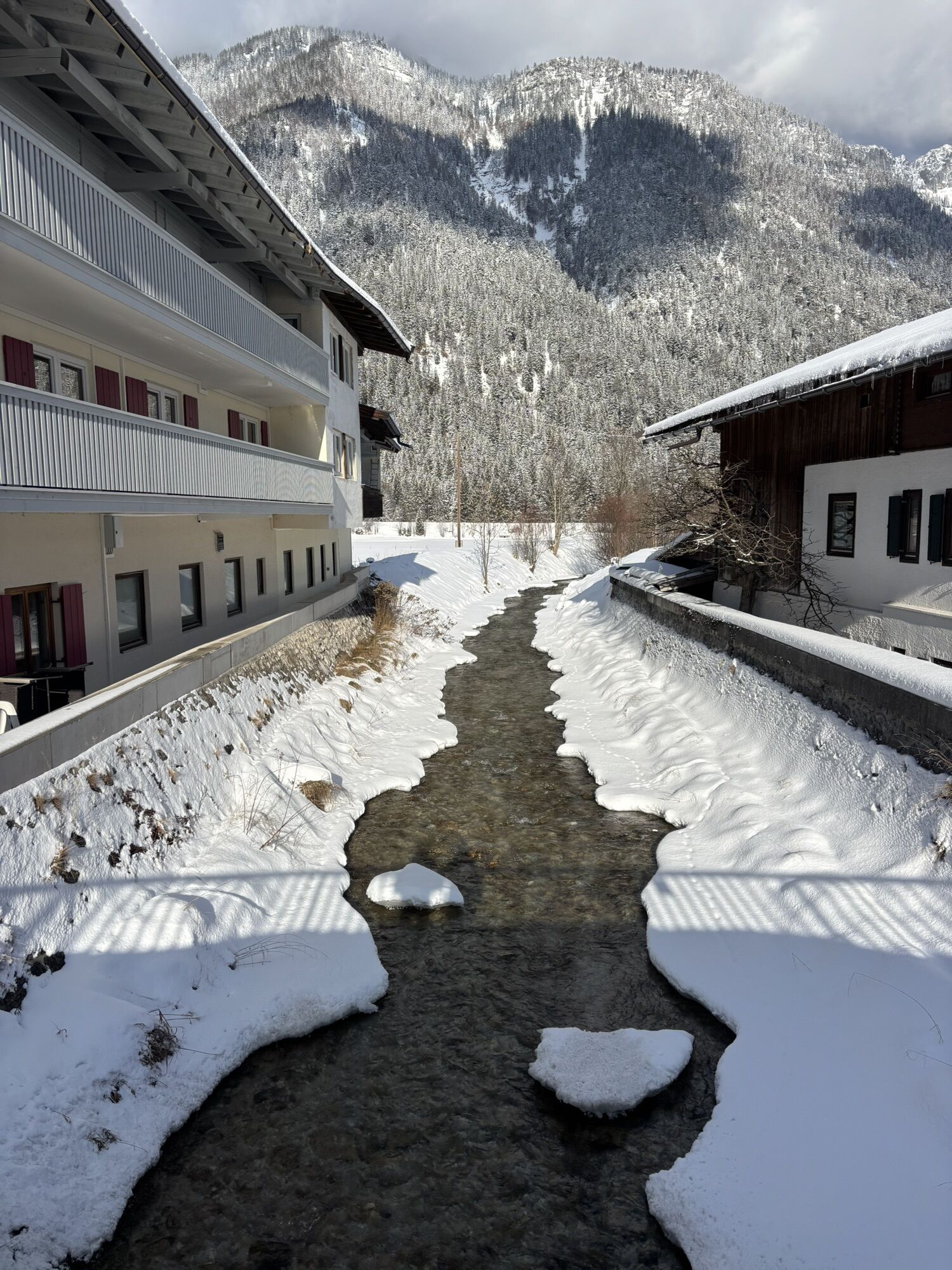
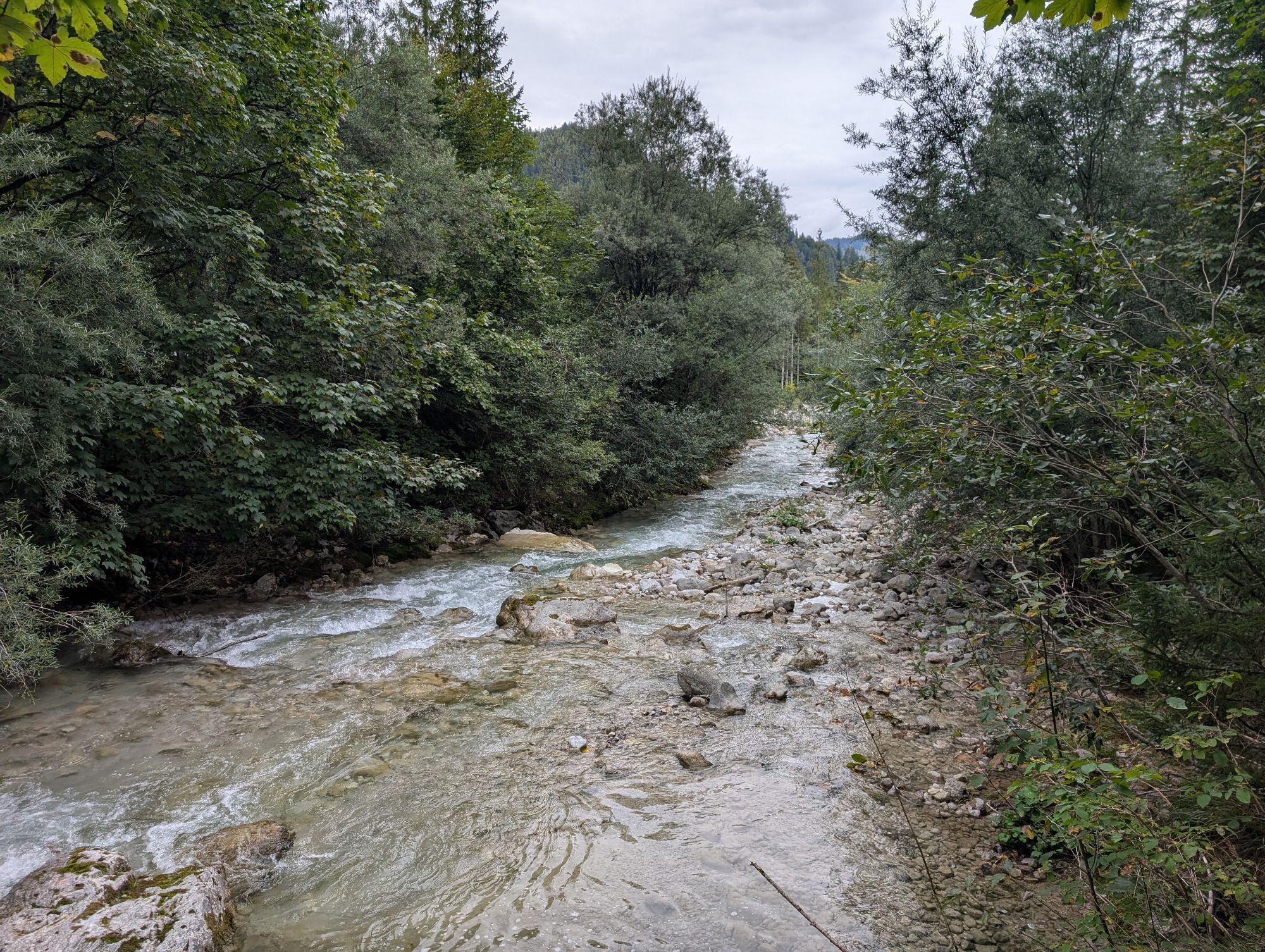

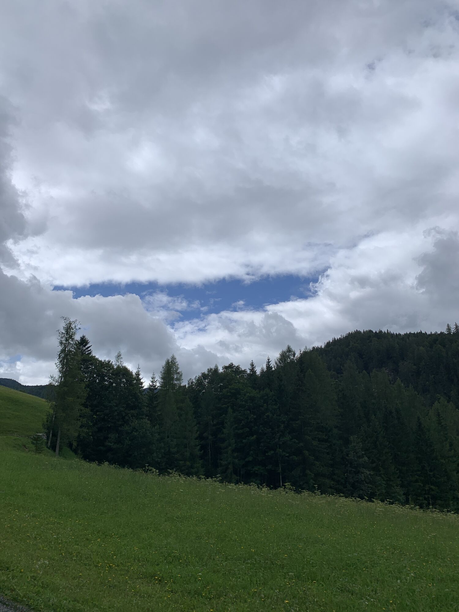
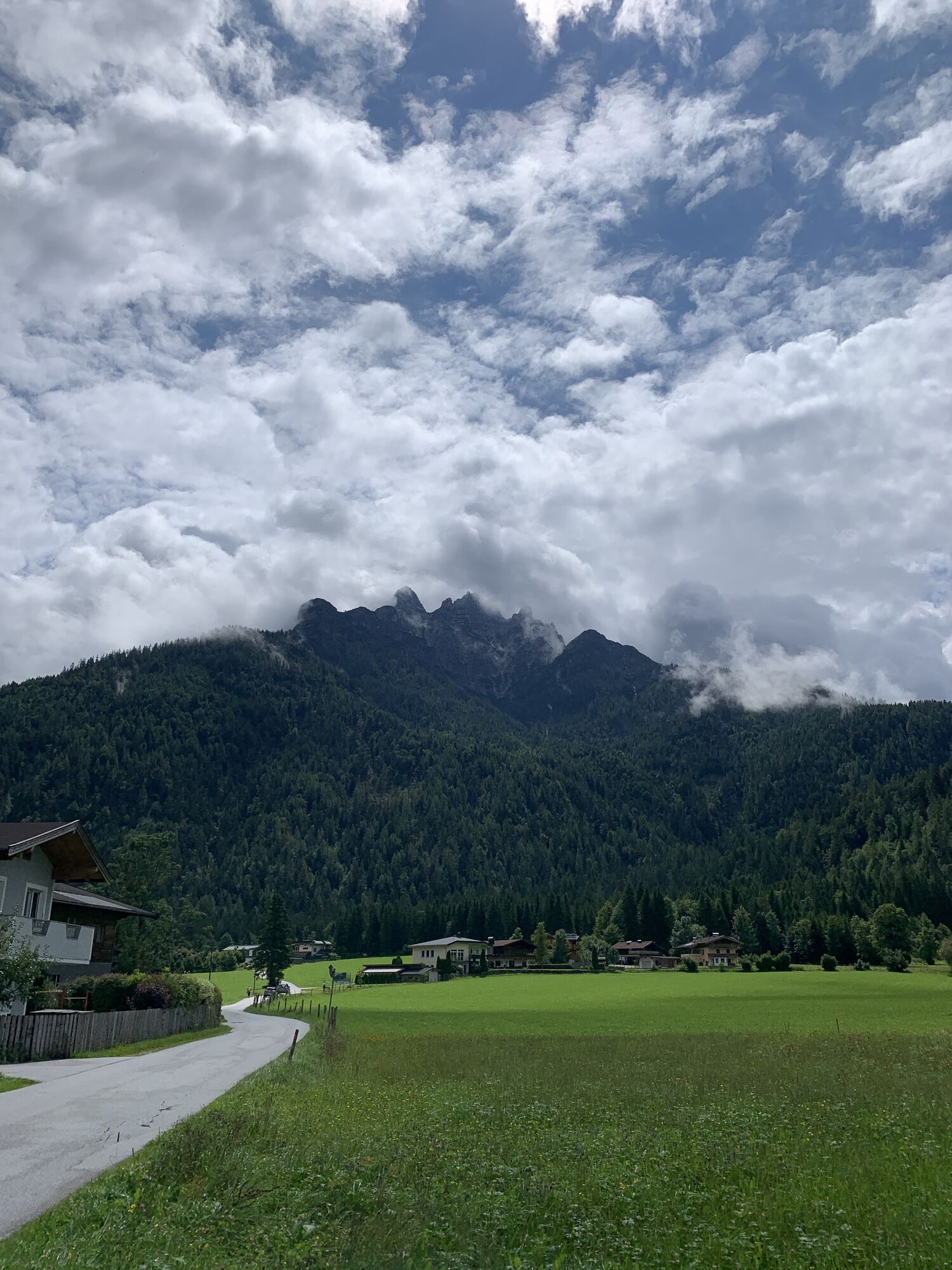
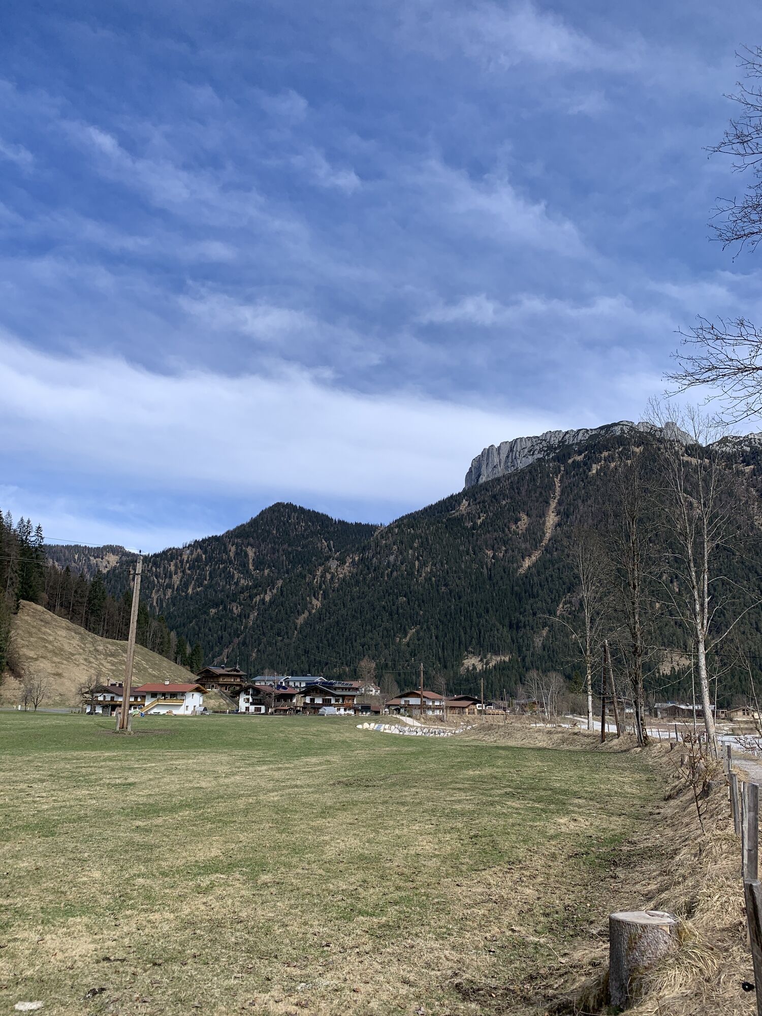
From the village center towards the hamlet Unterwasser, walk along the path Schäferauweg towards the chapel and continue uphill to "Elfenwiese" meadow. Via the path Schöttlweg to the main road Pillersee...
From the village center towards the hamlet Unterwasser, walk along the path Schäferauweg towards the chapel and continue uphill to "Elfenwiese" meadow. Via the path Schöttlweg to the main road Pillersee Landesstraße. Turn right and walk along the road until you reach the public parking Weißbach. Here you turn right, walk along the river, pass the tennis court an retourn to the center.


Am Endpunkt im Dorfzentrum
Hiking map are available in all touristoffice´s of the PillerseeTal
Regiobus Pillerseetal sowie mit dem Postbus Linie 4012, Haltestellstelle Waidring Gemeindeamt
Car park in the centre of Waidring


Kamery internetowe z trasy
Uzyskaj wgląd
Zawsze na żywo z ponad 9 500 kamer internetowych. bergfex Jako użytkownik Pro, możesz teraz zobaczyć odpowiednie kamery internetowe dla wielu wycieczek w aplikacji wycieczki od. Pozwala to na bezpośredni podgląd aktualnych warunków.

Popularne wycieczki w okolicy
-
4,7
Kirchdorf: Zur geheimnisvollen Teufelsgasse
średniWędrówka 7,90 km -
4,2
Erpfendorf: Griesbachklamm
średniWędrówka 10 km -
4,8
Loferer Steinberge, zum Hinterhorn über die Schmid-Zabierow Hütte, 19.06.22
ciężkiWędrówka 14,0 km -
4,6
St. Johann in Tirol: Wasserfall & 3 Seen am Kitzbüheler Horn
średniWędrówka 12,7 km -
4,8
Atemberaubende Aussicht auf dem Dürrnbachhorn
średniWędrówka 8,44 km -
4,7
Over the waterfall trail into the Almenwelt Lofer
średniWędrówka 3,29 km -
4,6
CHIEMGAU: Hörndlwand (1684m), Gurnwandkopf (1691m)
światłoWędrówka 12,6 km -
3,3
From Heutal to Sonntagshorn in the Salzburger Saalachtal
średniWędrówka 11,7 km -
4,3
To the pilgrimage church Maria Kirchental
światłoWędrówka 4,82 km -
4,0
Hike from the Loferer high valley to the Schmidt-Zabierow Hut (1966m)
średniWędrówka 7,70 km

Wędrówki i tropienie


Nie przegap ofert i inspiracji na następne wakacje
Twój adres e-mail została dodana do listy mailingowej.





