






To the pilgrimage church Maria Kirchental
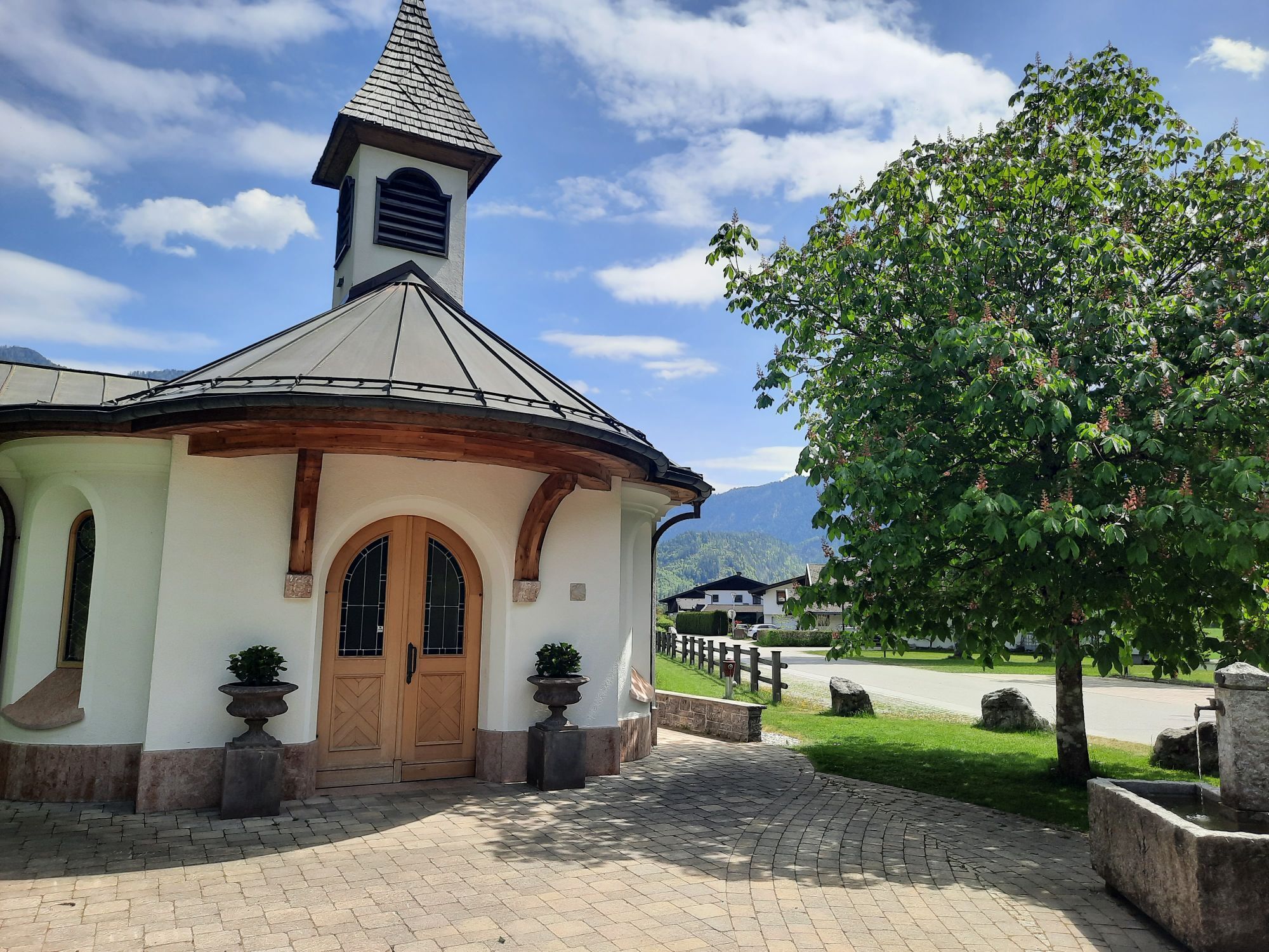
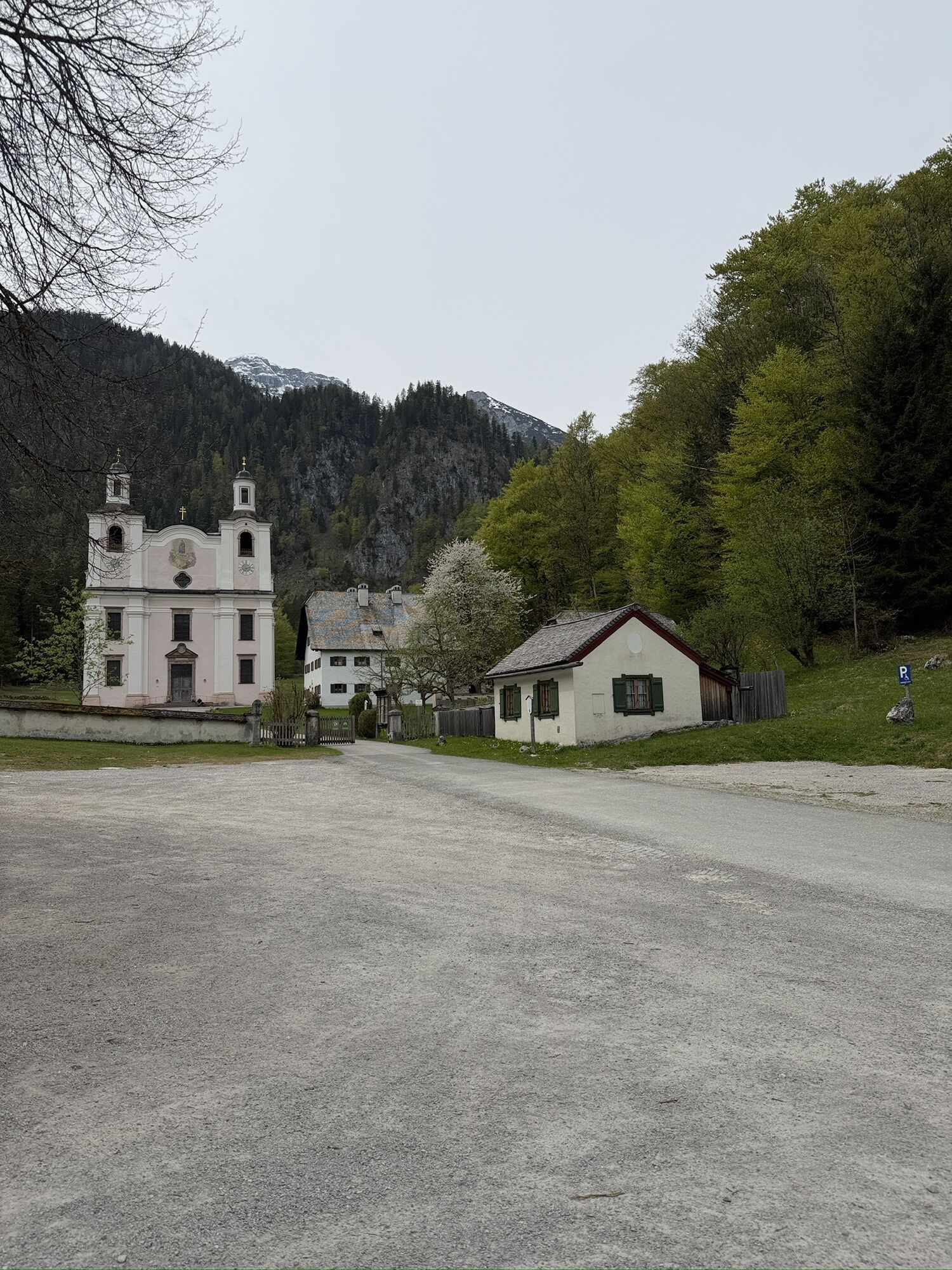
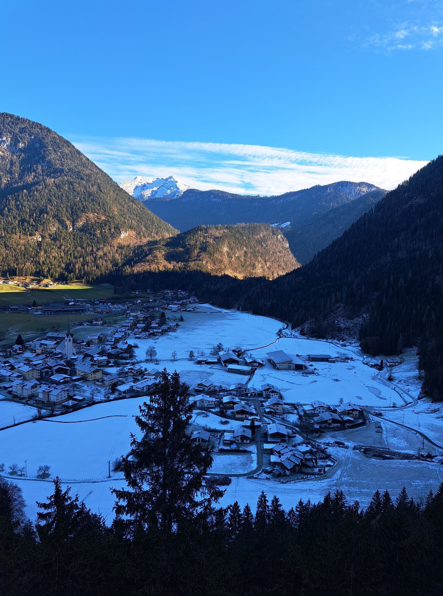
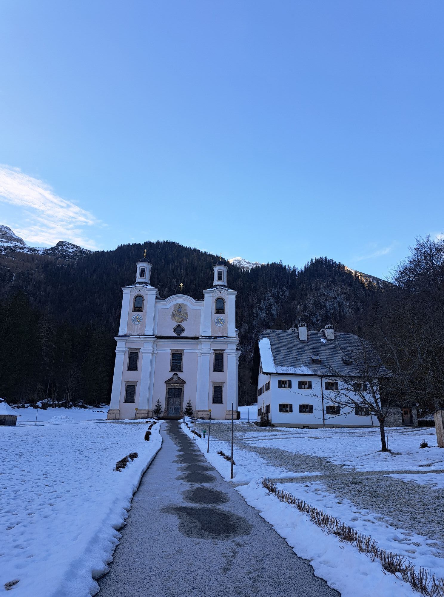
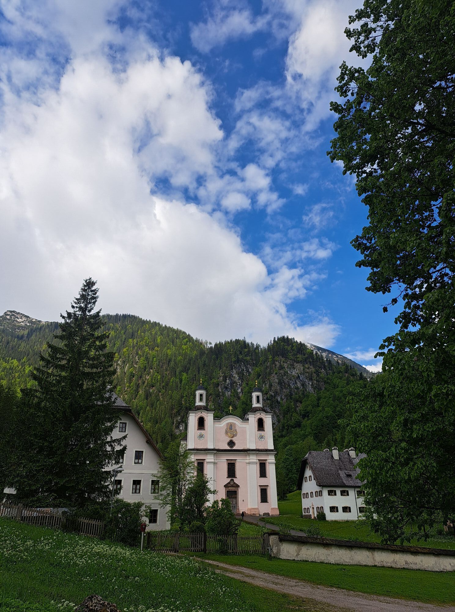

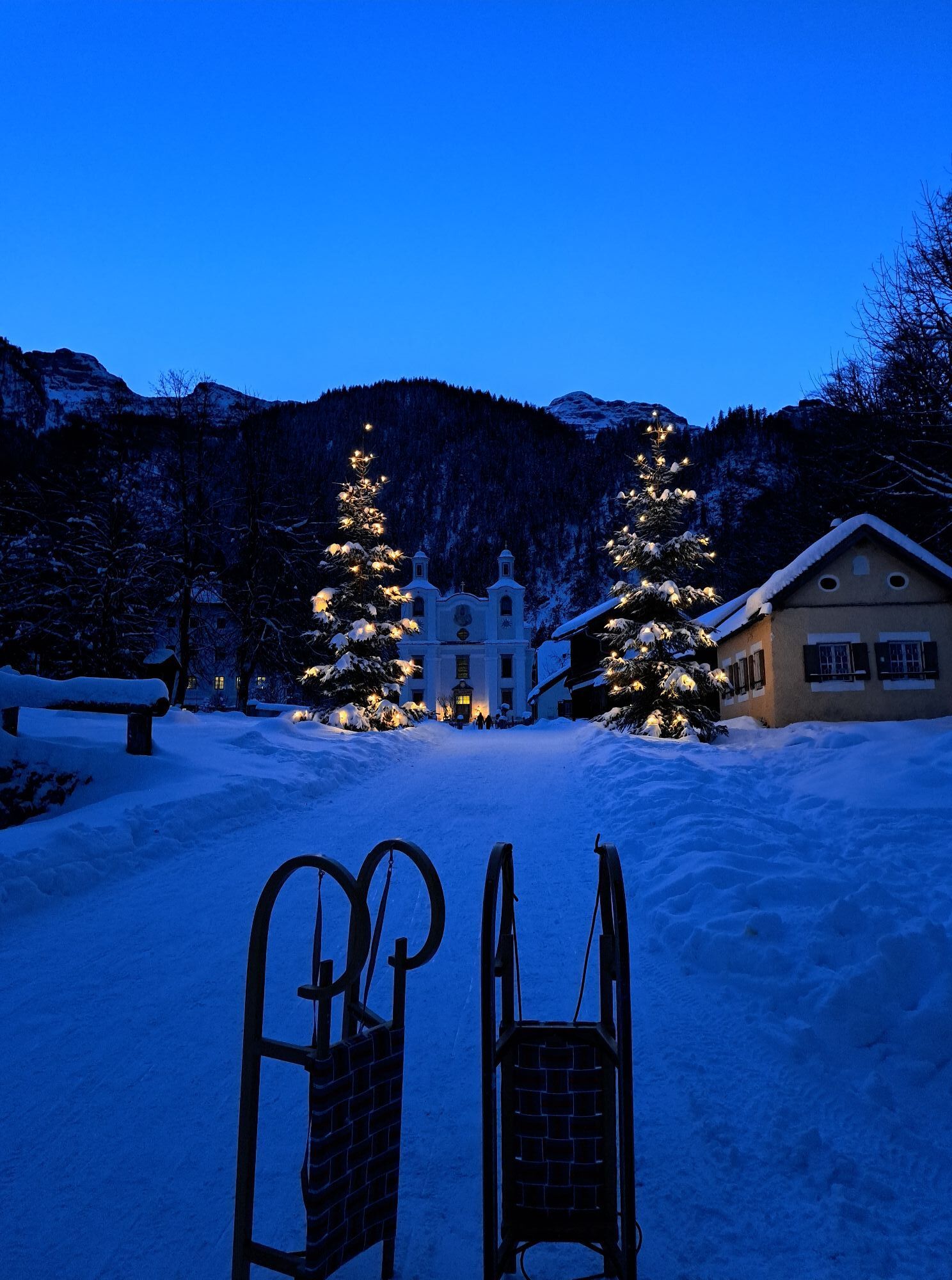
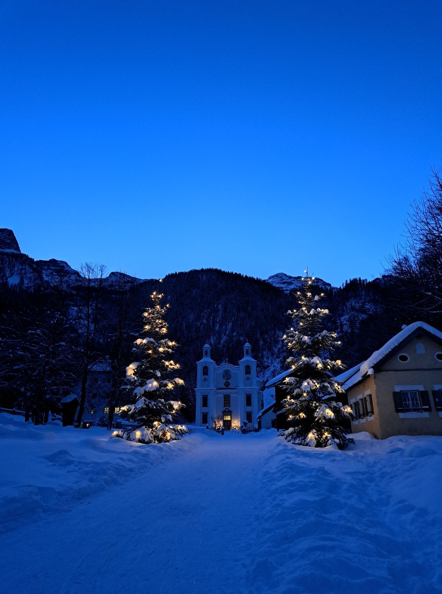
240 m above the valley floor of St. Martin, under the peaks of the Loferer Steinberge, lies in a romantic high valley the pilgrimage church Maria Kirchental with its famous image of grace. Follow the pilgrims'...
240 m above the valley floor of St. Martin, under the peaks of the Loferer Steinberge, lies in a romantic high valley the pilgrimage church Maria Kirchental with its famous image of grace. Follow the pilgrims' footsteps and discover a unique place where nature and culture merge into a beautiful unity.

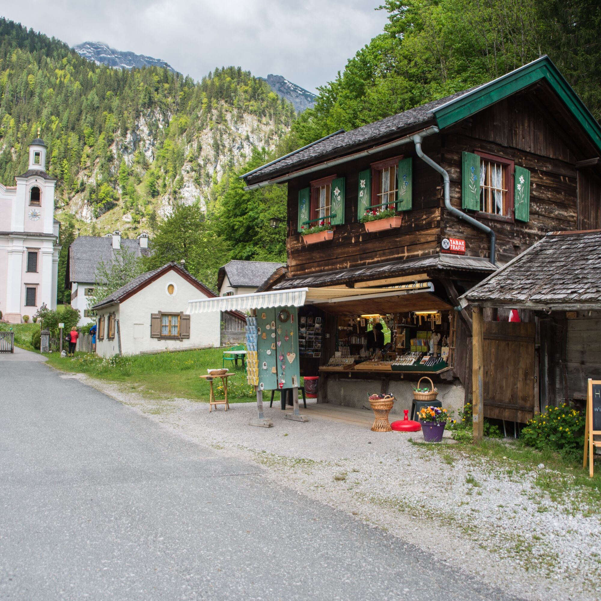
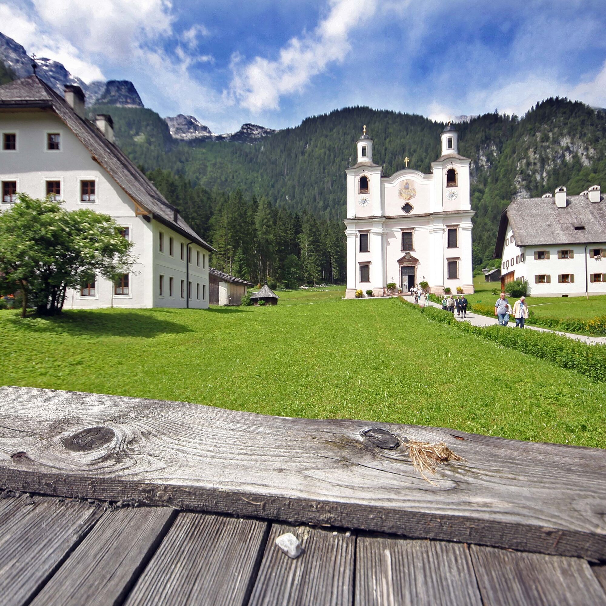
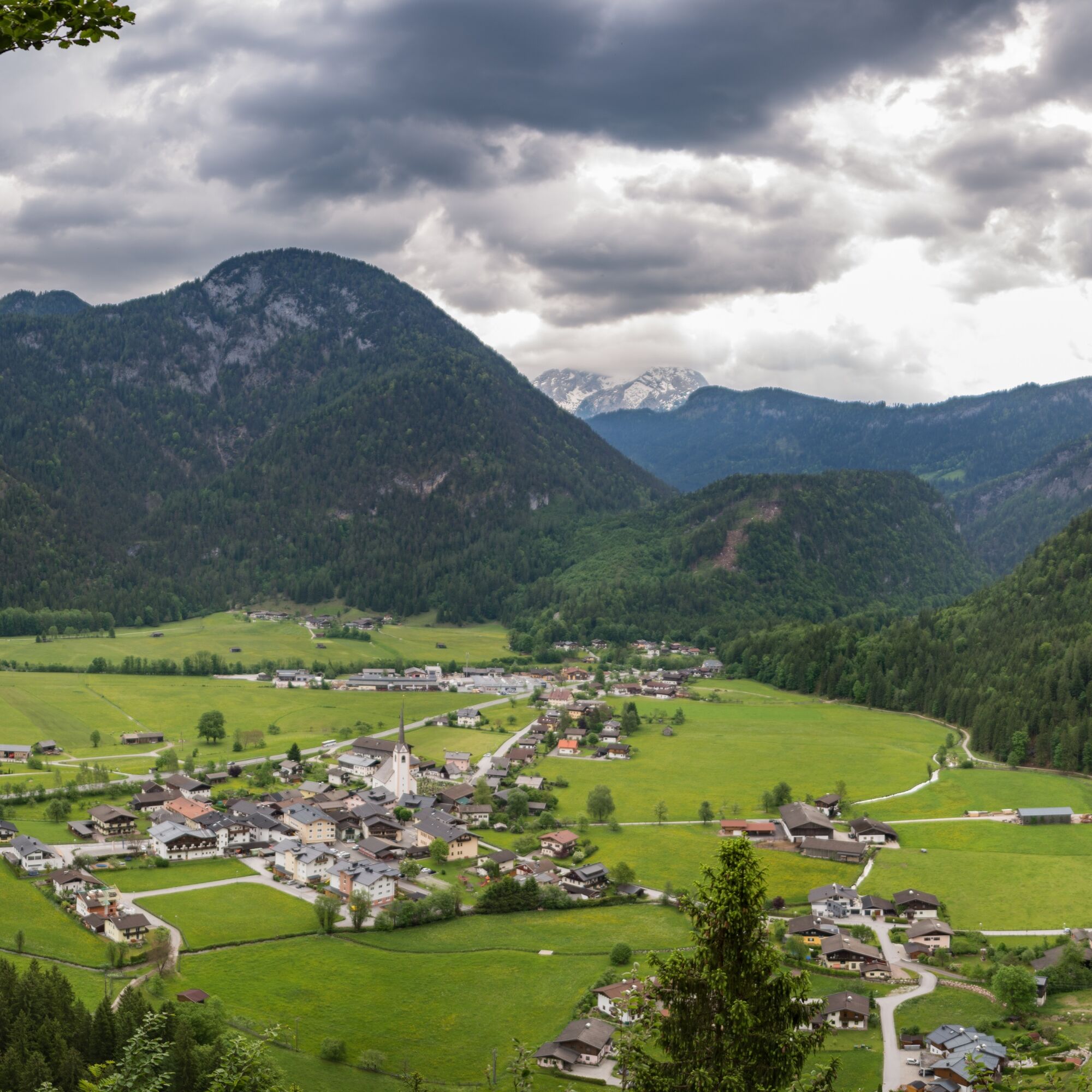
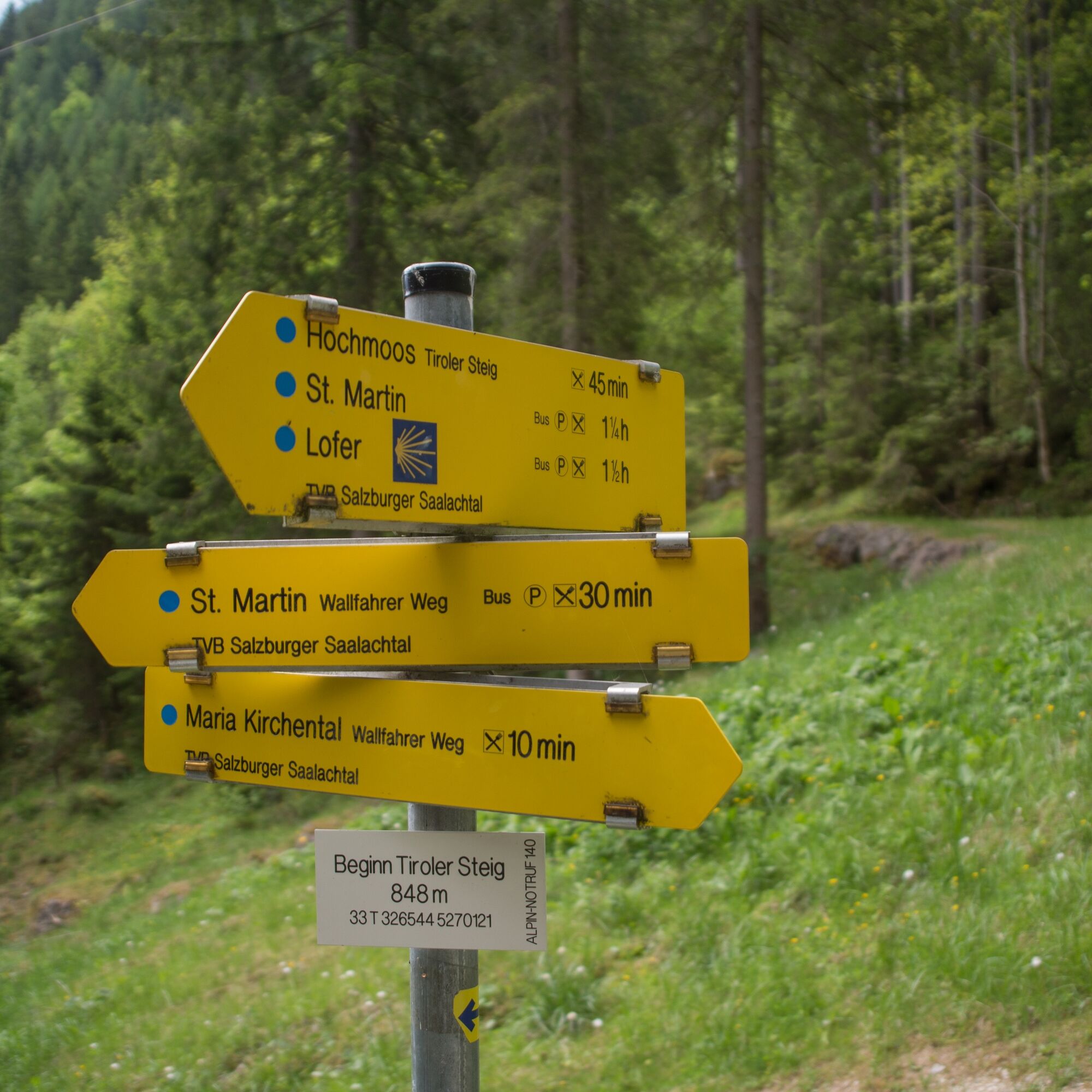
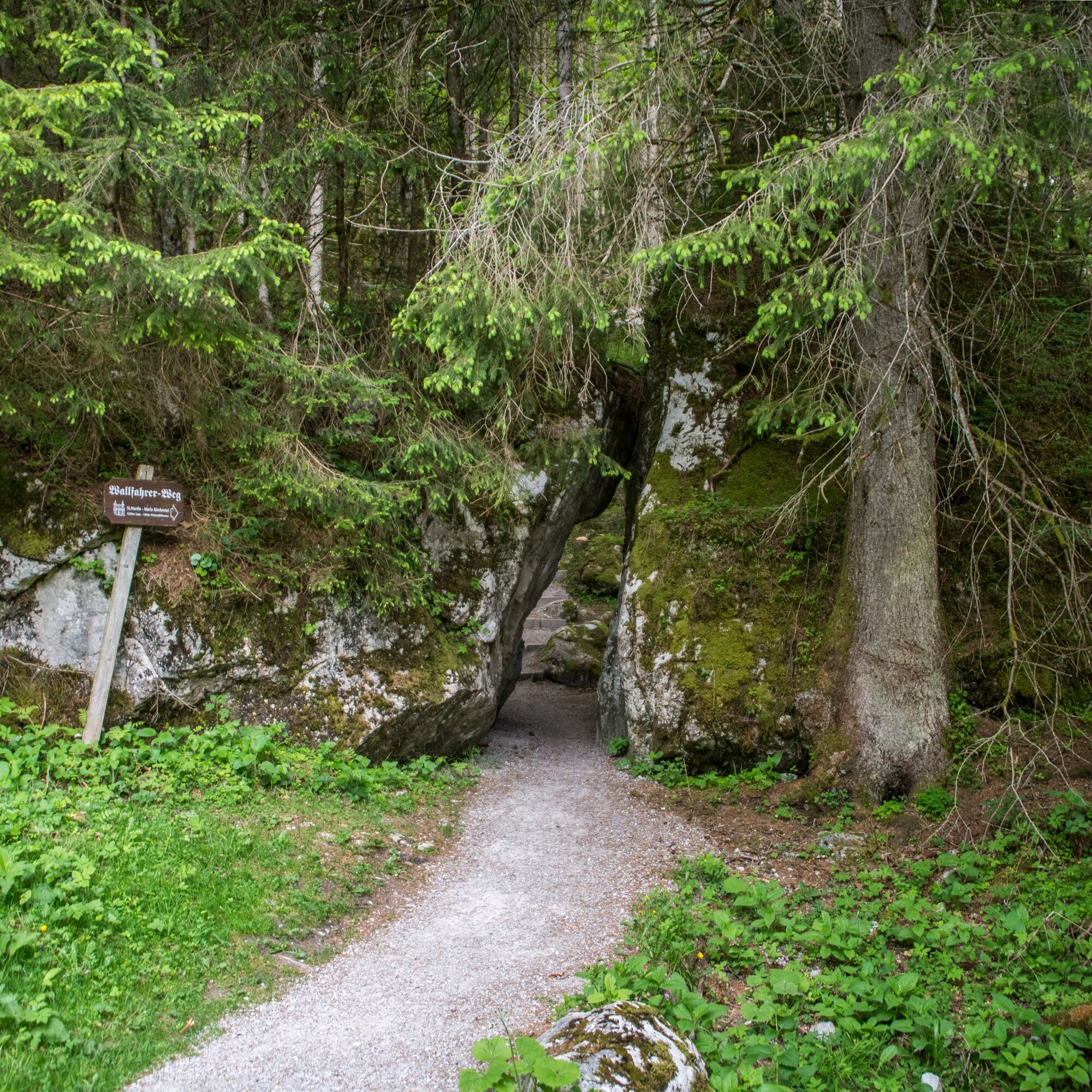

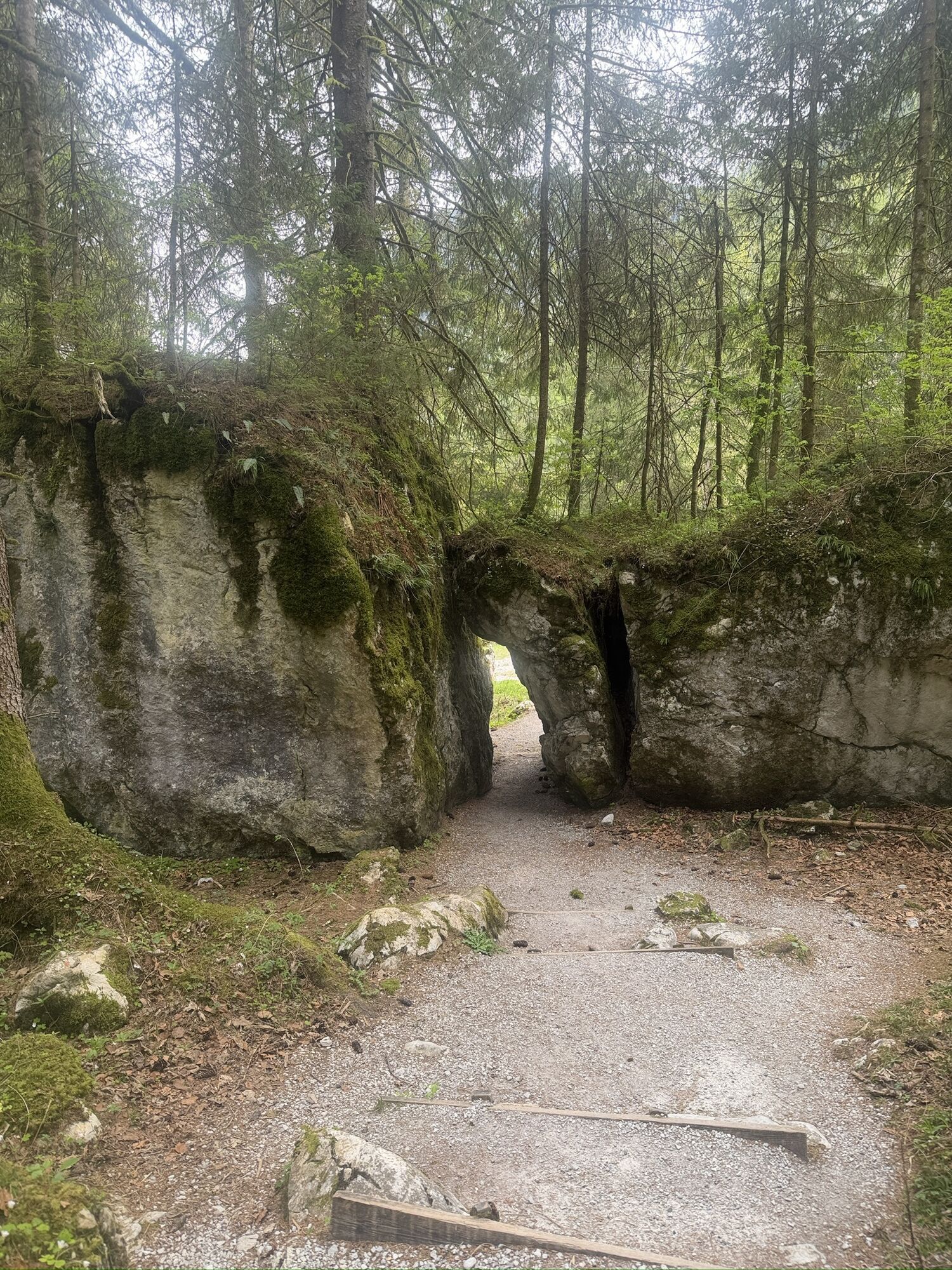
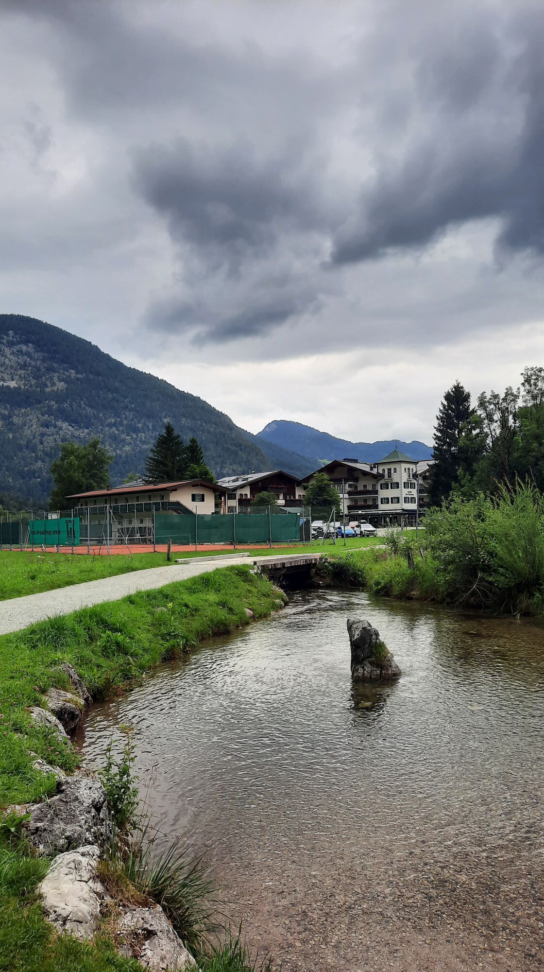
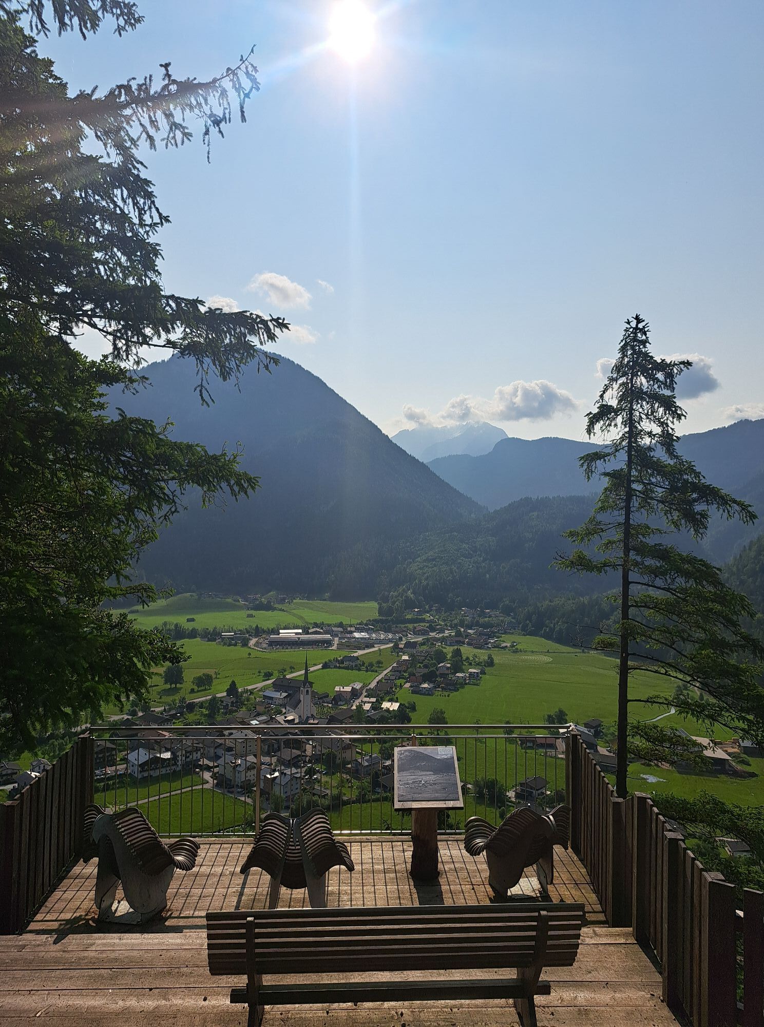
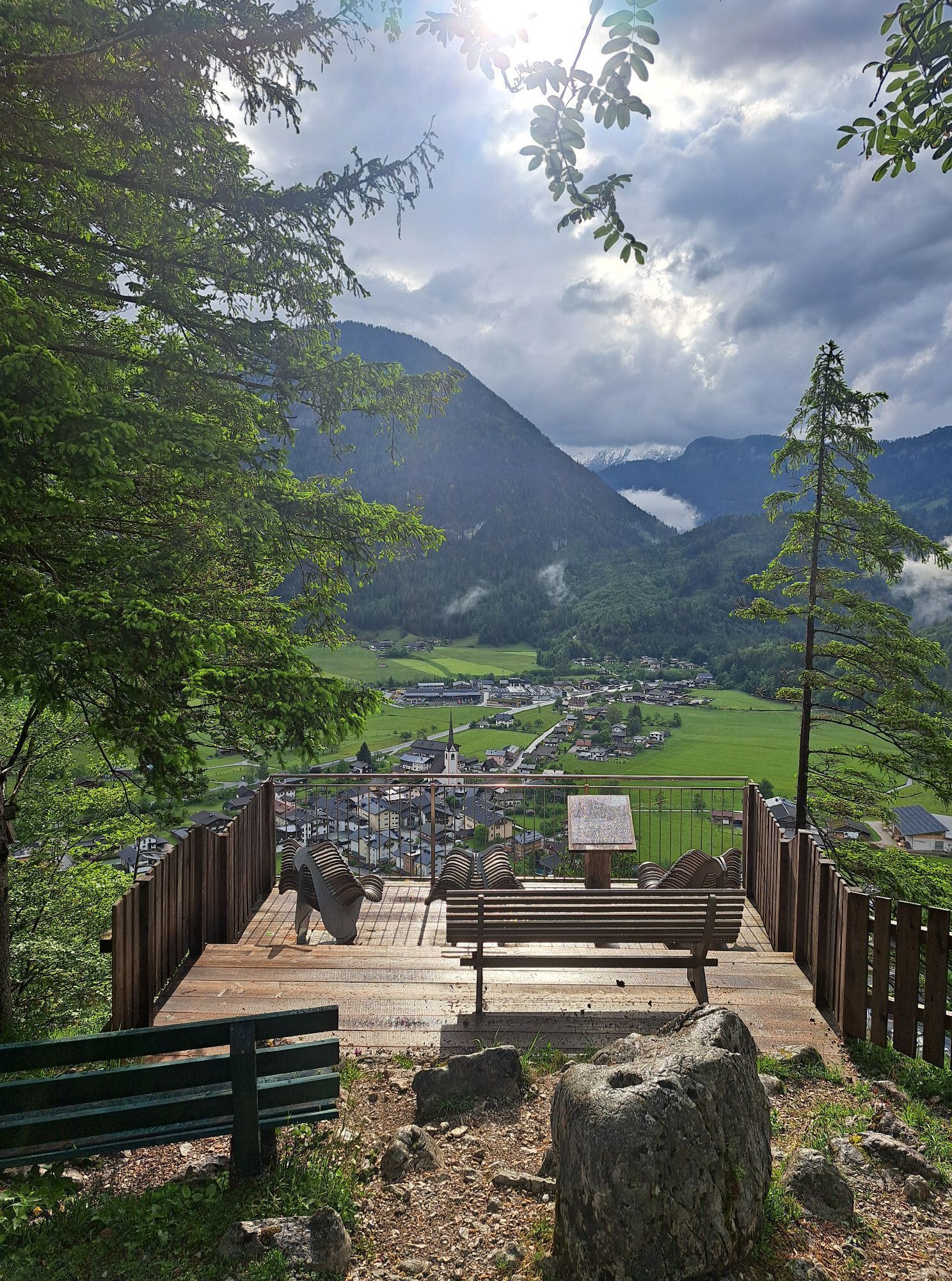
The path to the pilgrimage church starts at the Hochmoos parking lot directly opposite the Gasthof Bad Hochmoos in St. Martin in the Salzburger Saalachtal. From here, it goes gently uphill through the forest to Maria Kirchental via the Tirolersteig (path no. 72). Along the way, there are beautiful views of the small village of St. Martin in the valley. From there, the hike continues down again via the "Pilgrim Path" with interesting information boards about the 300-year history of the path. At the end, you return on a relatively flat path through the "Kellerwald" back to the Gasthof Hochmoos.
Tak
In addition to a water bottle, we recommend sturdy footwear, warm clothing and rain protection, a mobile phone, sunglasses and sun protection (e.g. cap), as well as a small snack.
Via the B311 (coming from Lofer or Saalfelden) to the Wildmoos junction. (Directions)
By line bus 260 (timetable) from Salzburg/Lofer or Zell am See/Saalfelden to the St. Martin Grubhof stop.
Parking lot at Gasthof Bad Hochmoos.
On Sundays and public holidays, a large mass is held in the church at 11 a.m., often accompanied by processions up the pilgrim path.

Kamery internetowe z trasy
Uzyskaj wgląd
Zawsze na żywo z ponad 9 500 kamer internetowych. bergfex Jako użytkownik Pro, możesz teraz zobaczyć odpowiednie kamery internetowe dla wielu wycieczek w aplikacji wycieczki od. Pozwala to na bezpośredni podgląd aktualnych warunków.


Popularne wycieczki w okolicy
-
4,3
Halsalm
Wędrówka 6,43 km -
4,9
Ramsau/Hintersee-Runde
światłoWędrówka 9,44 km -
4,8
Loferer Steinberge, zum Hinterhorn über die Schmid-Zabierow Hütte, 19.06.22
ciężkiWędrówka 14,0 km -
4,1
Passauer Hütte
ciężkiWędrówka 4,14 km -
4,4
Birnbachloch
średniWędrówka 6,40 km -
4,5
Birnbachloch Leogang, Österreich
średniWędrówka 5,18 km -
4,5
Rundweg vom Hintersee zur Halsalm
średniWędrówka 9,53 km -
4,8
Atemberaubende Aussicht auf dem Dürrnbachhorn
średniWędrówka 8,44 km -
4,7
Over the waterfall trail into the Almenwelt Lofer
średniWędrówka 3,29 km -
4,6
Lettlkaser
średniWędrówka 4,40 km
Wędrówki i tropienie


Nie przegap ofert i inspiracji na następne wakacje
Twój adres e-mail została dodana do listy mailingowej.





