






Gamskopf Panorama Trail

Poziom trudności: 2
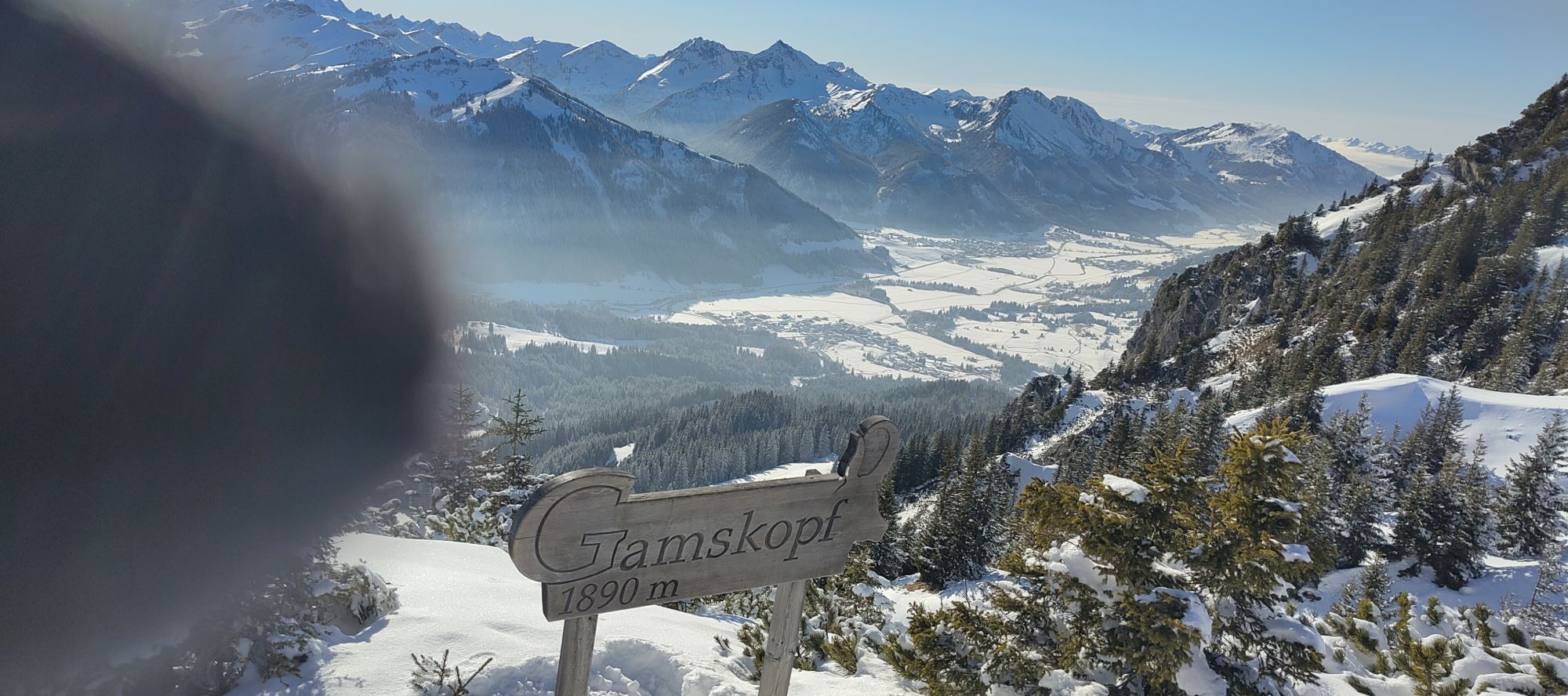
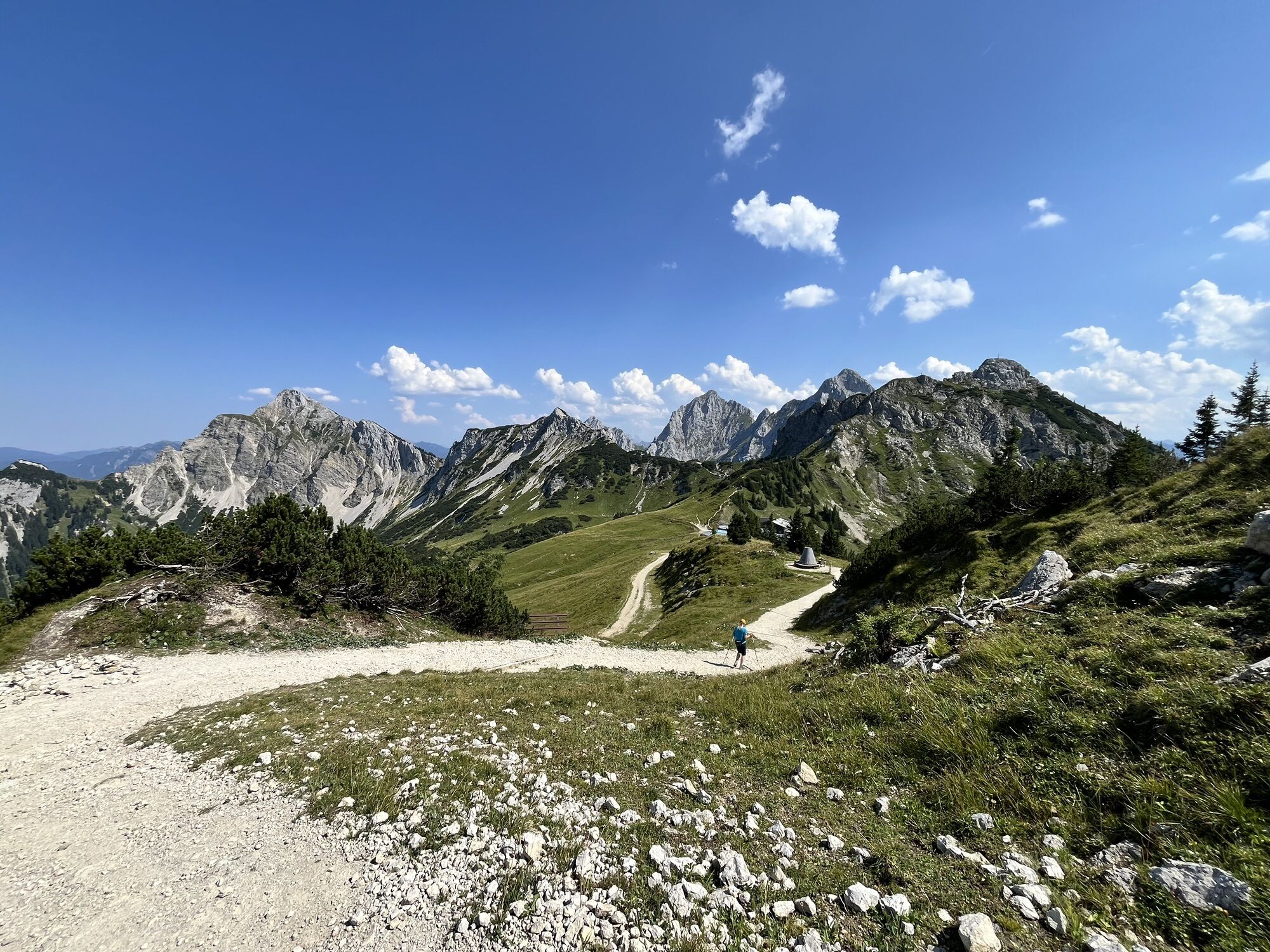
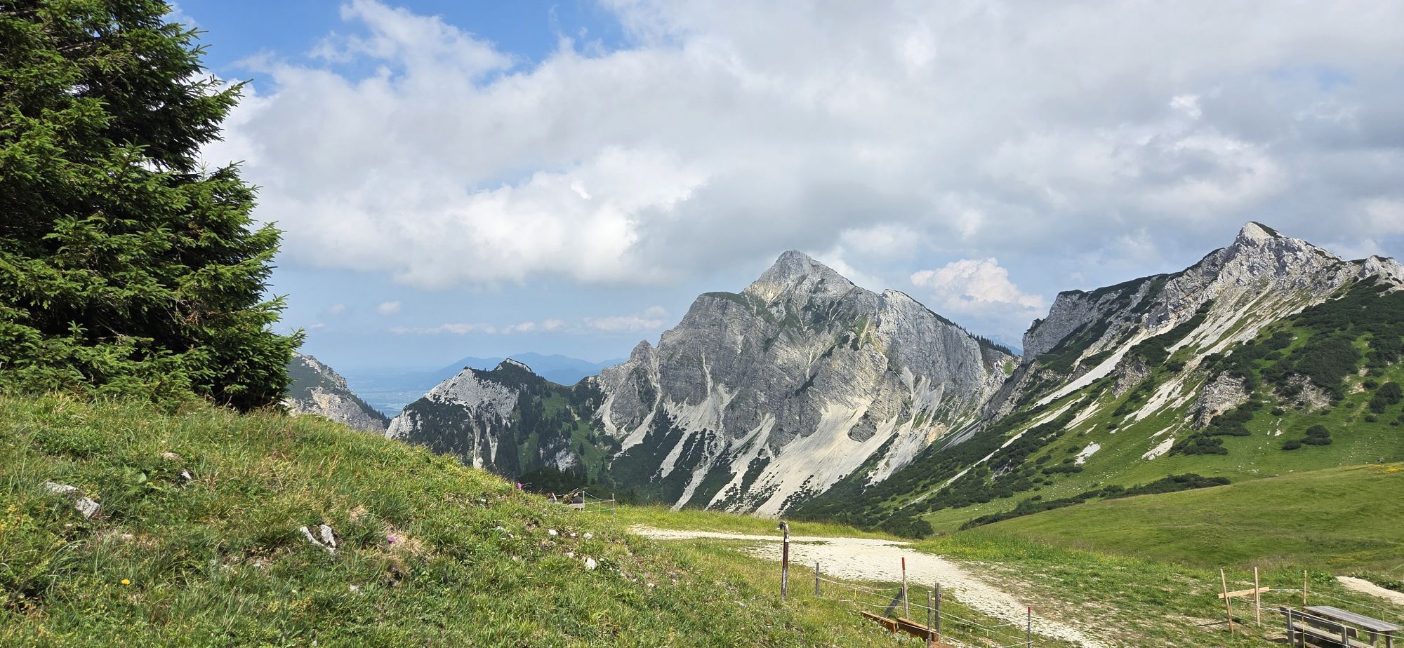
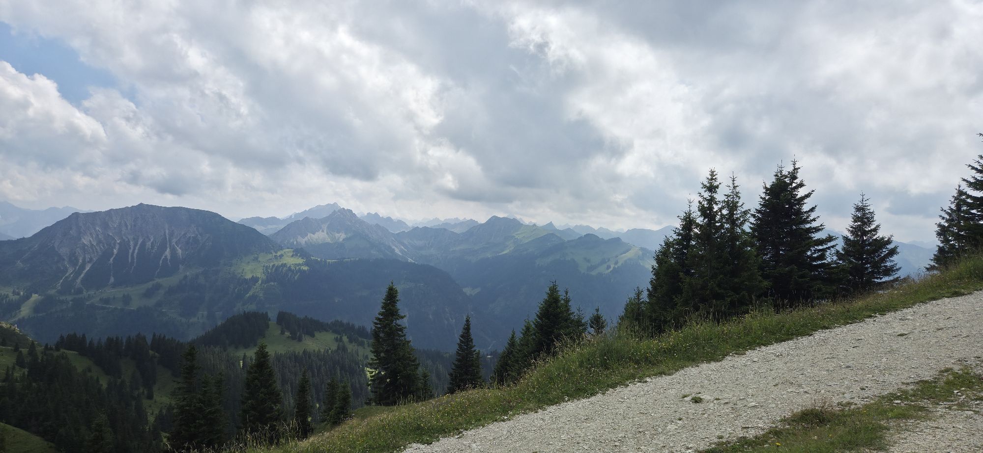
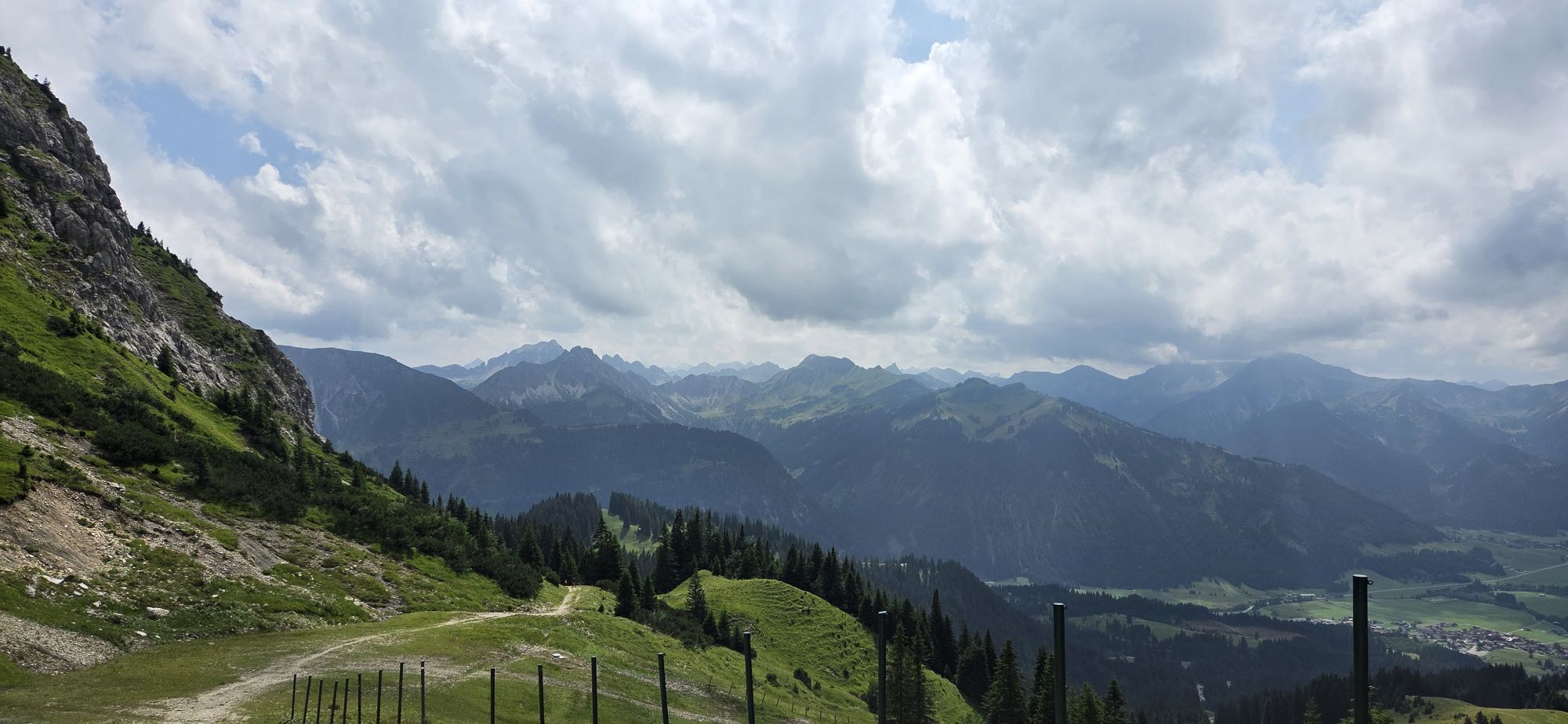
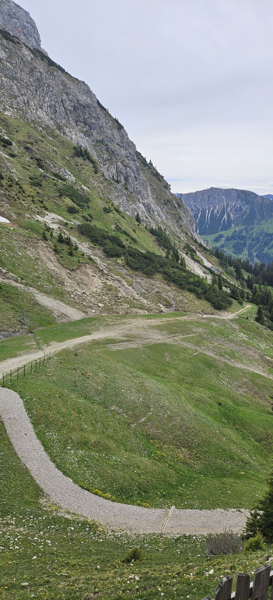
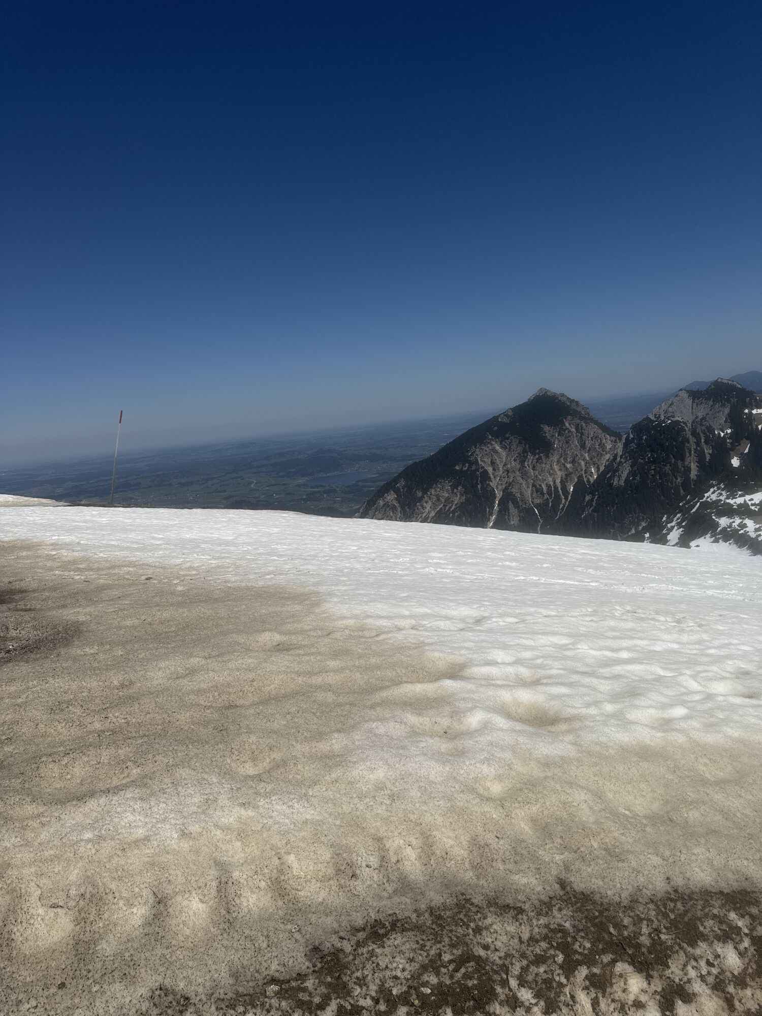
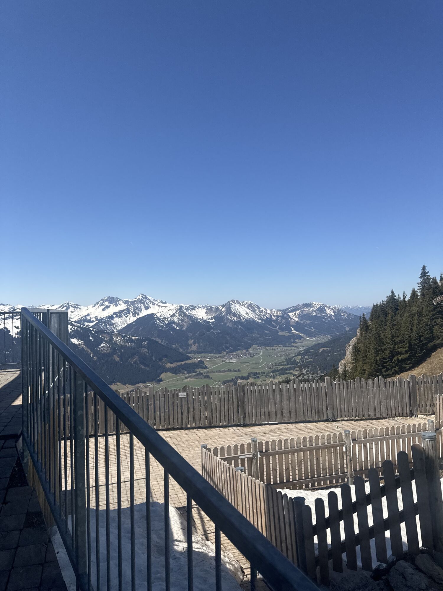
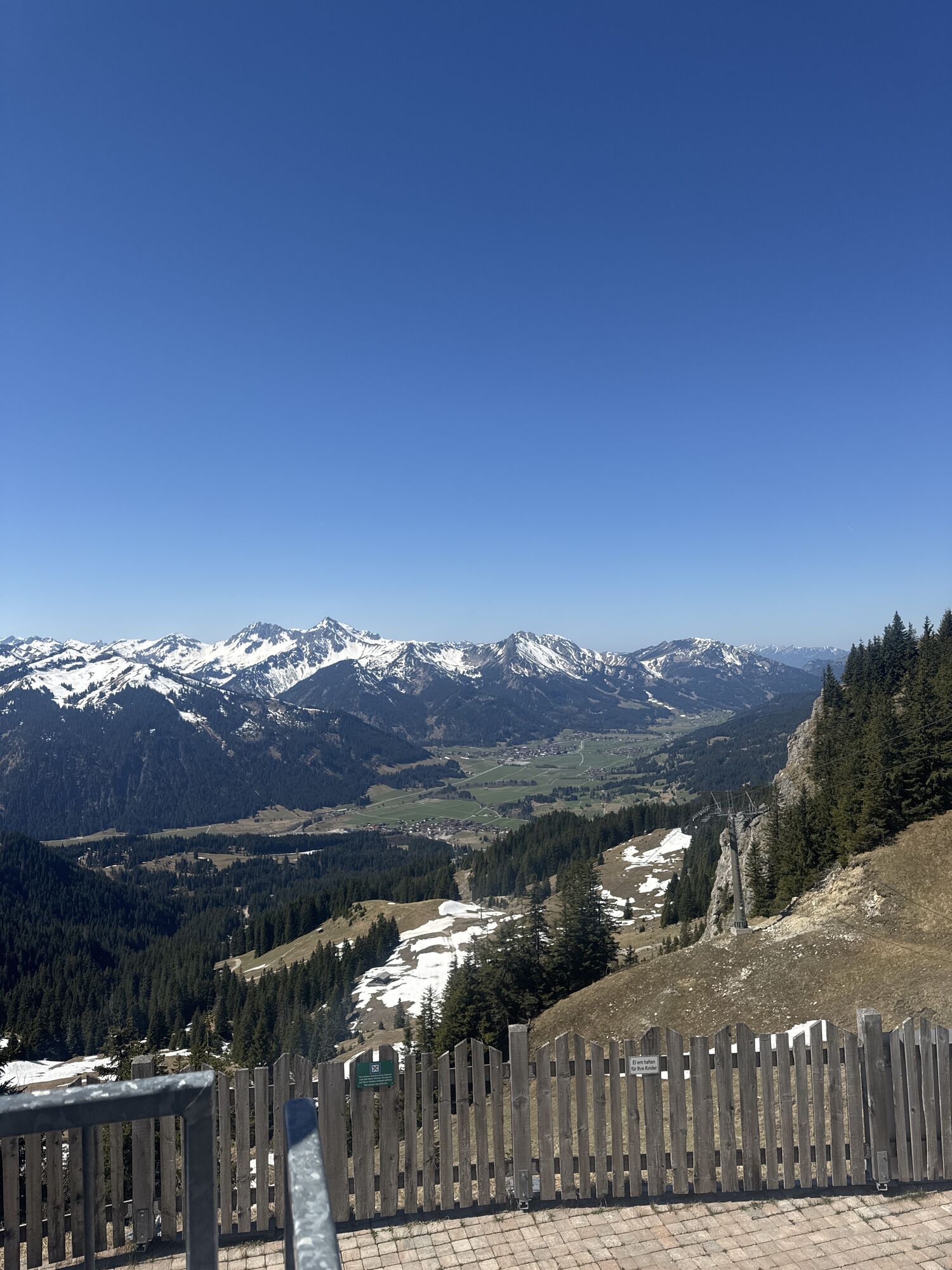
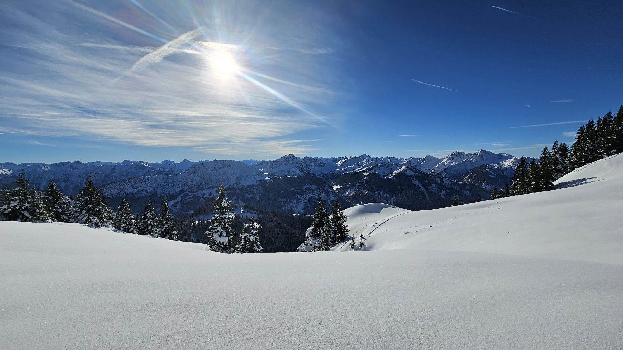
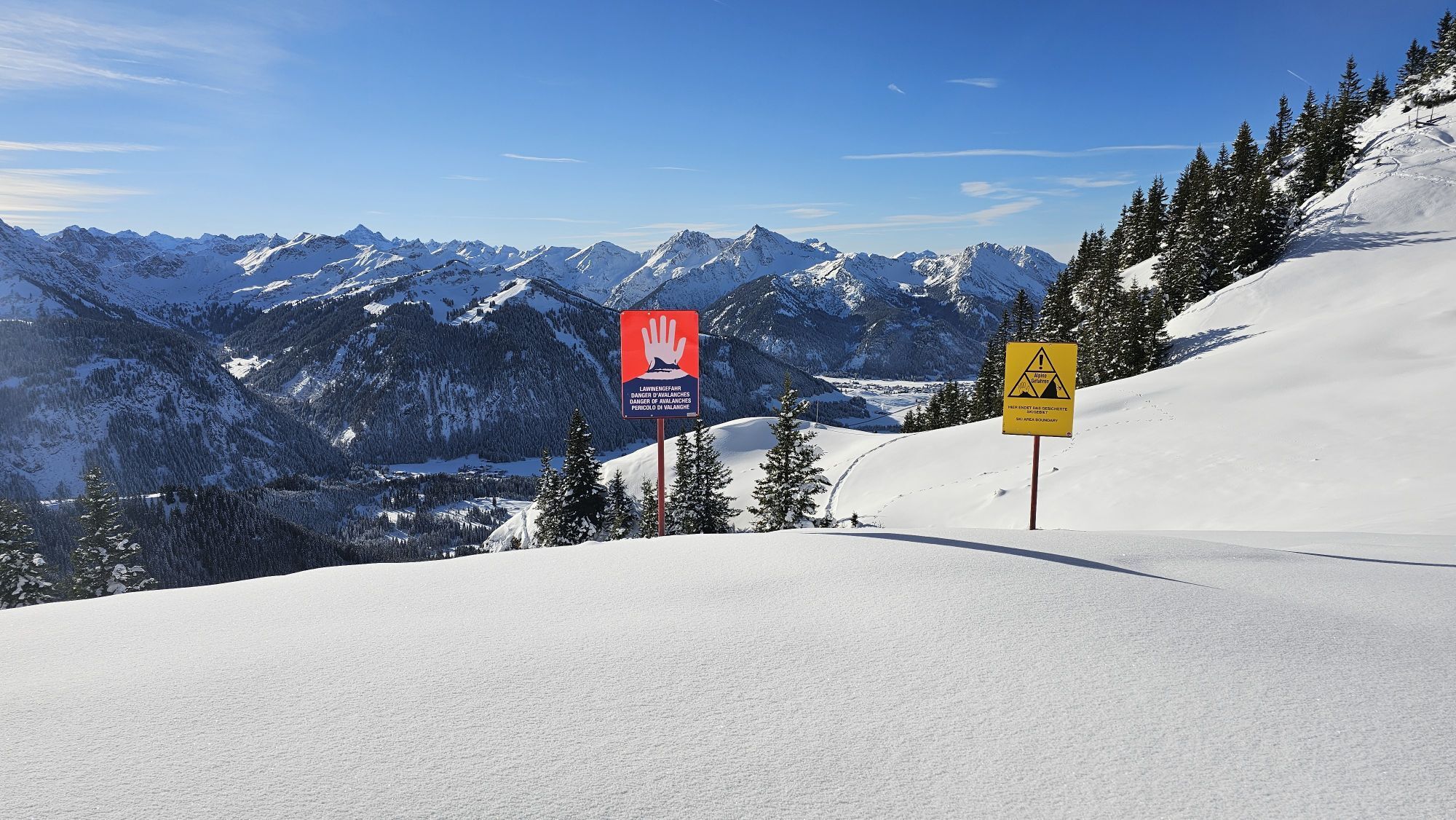
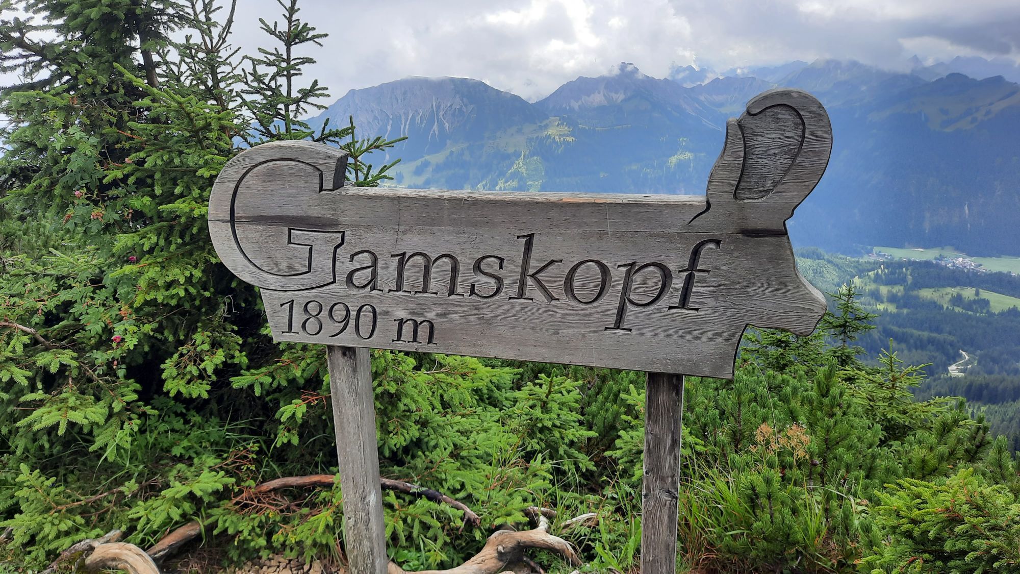
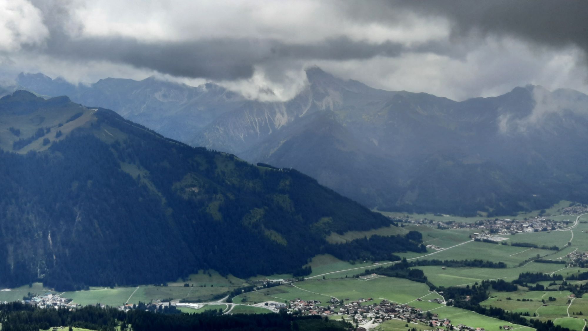
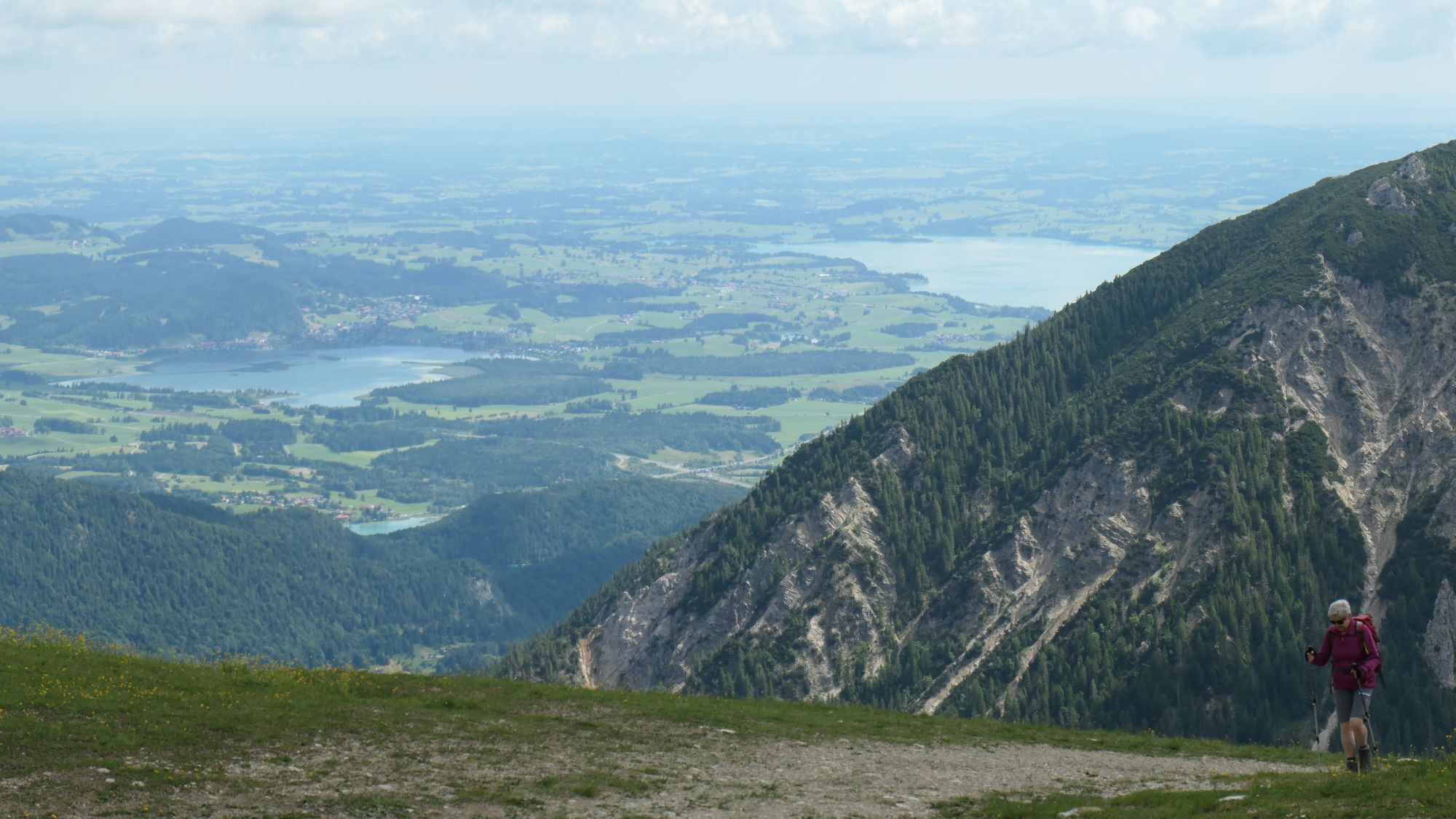
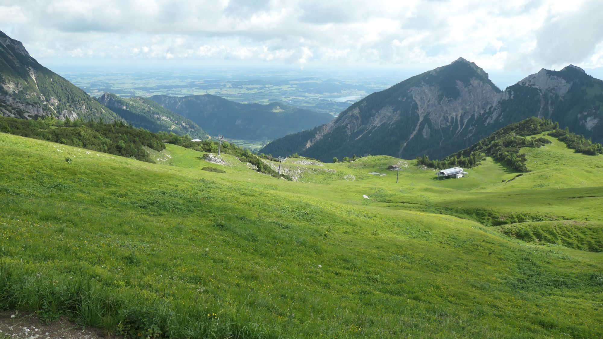
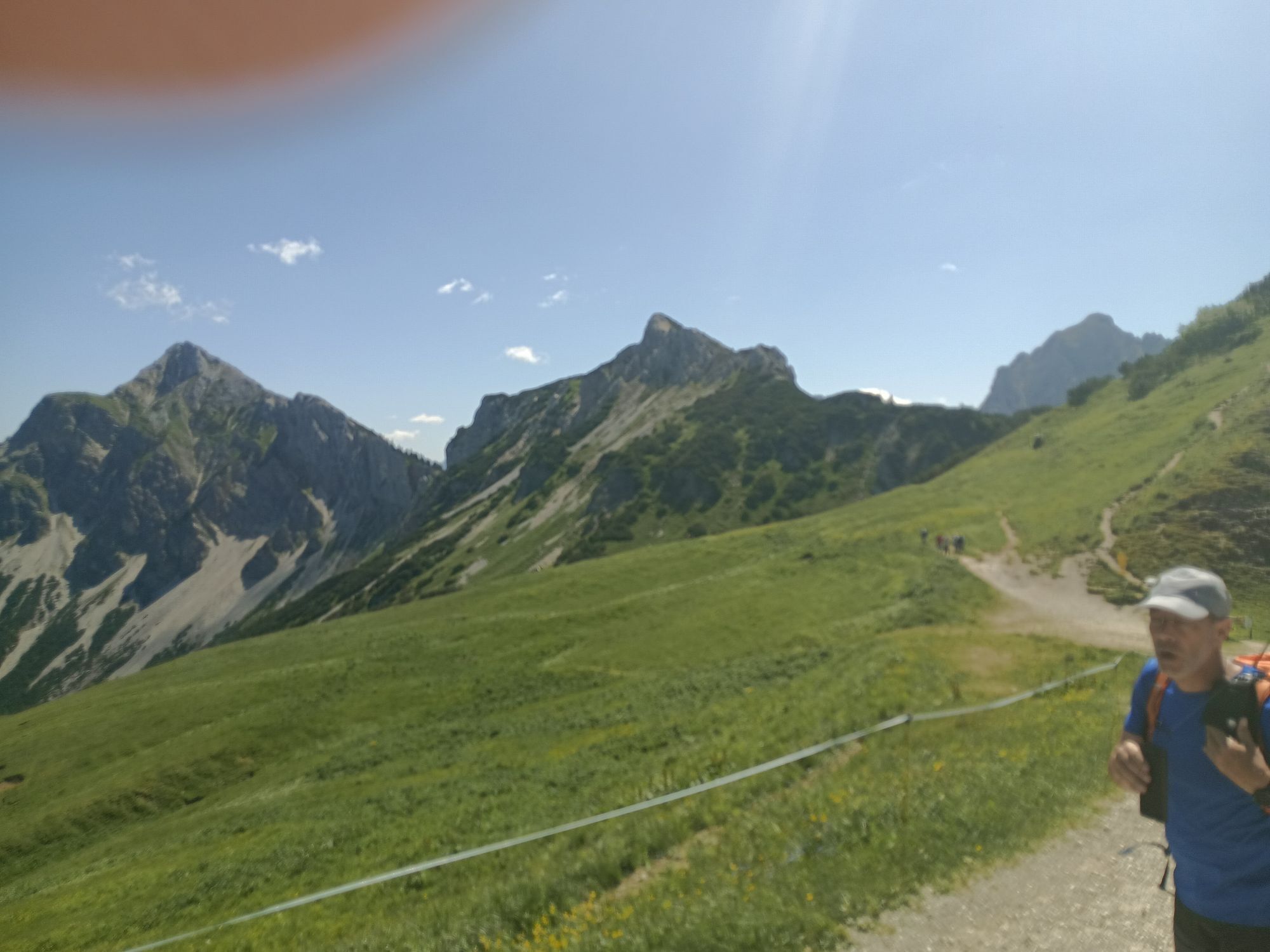
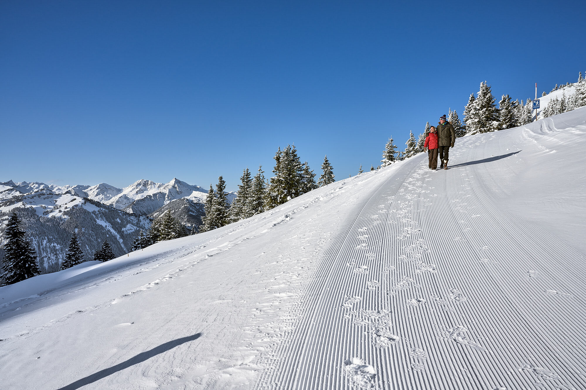
It doesn't always have to be skiing, snowboarding, or cross-country skiing. On nearly 81 kilometers of cleared paths, hikers stroll through the snowy fairy-tale landscape. Cozy huts along the way invite...
It doesn't always have to be skiing, snowboarding, or cross-country skiing. On nearly 81 kilometers of cleared paths, hikers stroll through the snowy fairy-tale landscape. Cozy huts along the way invite you to stop for a break. Sitting by the fireplace, warming up with a Jaga tea, or fueling up with a snack for the next kilometers – this is how you can fully enjoy snow walks.

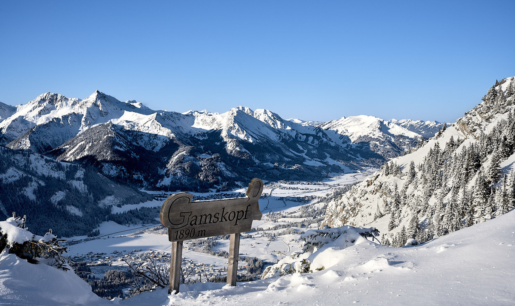
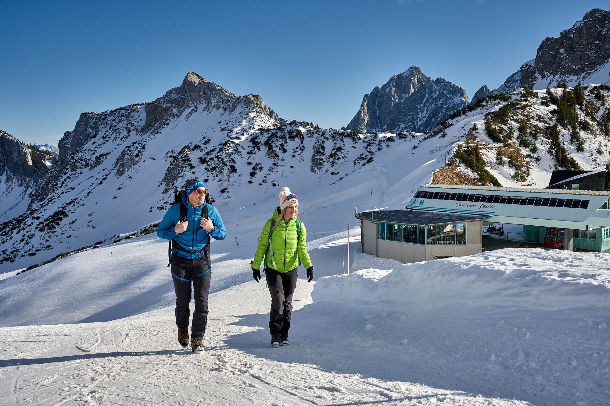
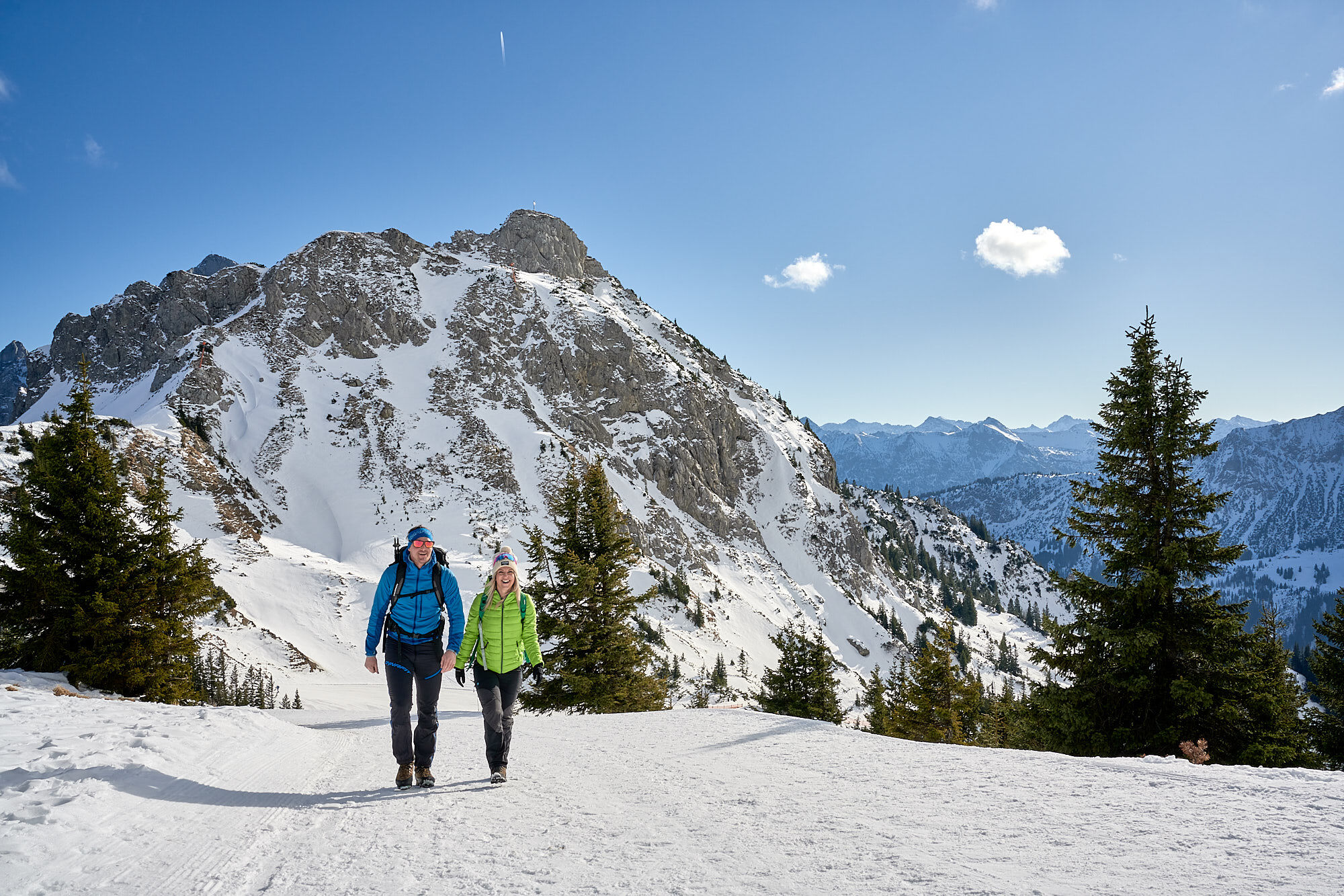
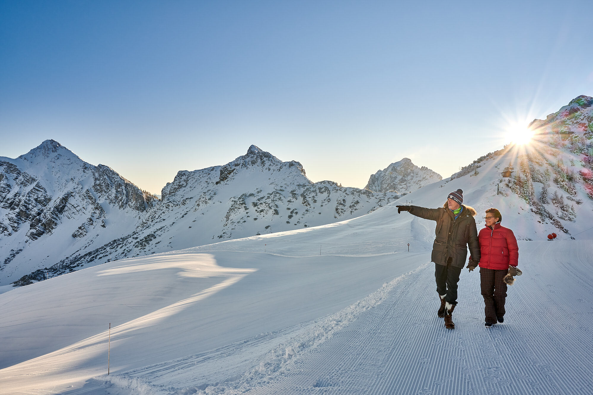
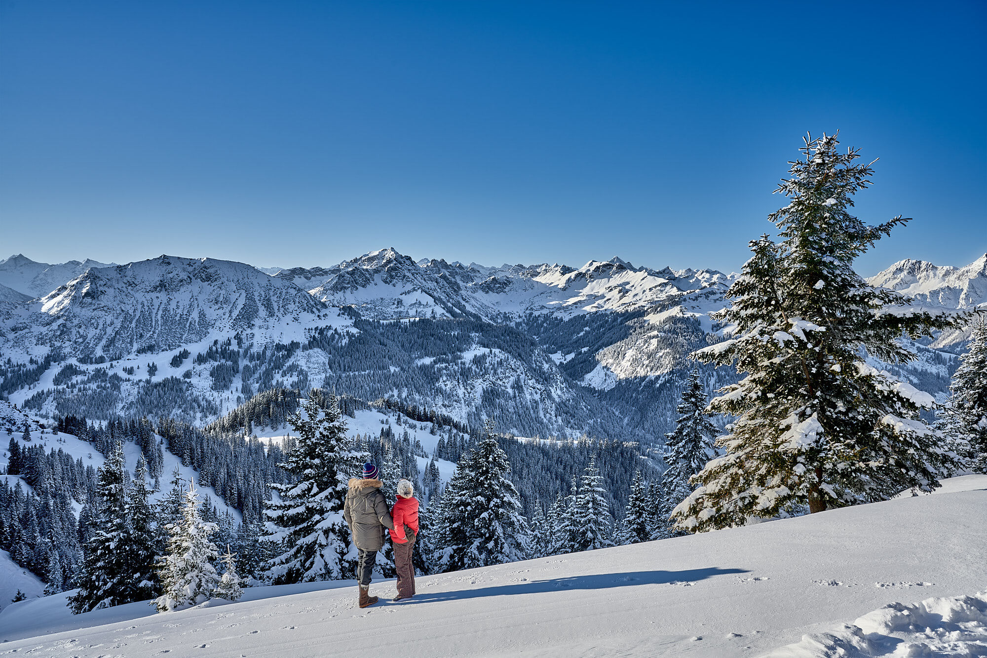

We follow the same path back to the mountain station of the gondola.
Tak
Tak
Up-to-date and well-maintained equipment (shoes, poles, and clothing) not only provides a significant level of safety but also makes winter hiking much easier. Sun protection (high SPF and possibly sunglasses) as well as sufficient fluids should not be forgotten.
It should be noted that there is an increased risk of accidents and injuries even when winter hiking. In winter, particular attention should be paid to the path conditions. Suitable clothing, good footwear, and possibly hiking poles provide additional safety. Stay on the marked trails.
From the Tyrol side, via Reutte on the B198 towards Lechtal to Weißenbach, over the Gaichtpass along the B199 to the Grän exit, then continue to the valley station of the 8-person gondola Füssner Jöchle.
By train to Sonthofen, Pfronten/Ried, or Reutte, then by bus to Grän.
Directly at the valley station of the 8-person gondola Füssner Jöchle
2
Tourist office Tannheimer Tal
Sonnenbergbahnen Grän
A view for connoisseurs...



Popularne wycieczki w okolicy
-
4,9
Hiking tour to Breitenberg
ciężkiWędrówka 15,6 km -
4,8
Do schroniska Bad Kissinger Hütte przez Gräner Höhenweg
średniWędrówka 13,0 km -
4,7
Mountain hike to the Aggenstein
ciężkiWędrówka 15,3 km -
4,7
Panorama route to the Ostlerhütte
średniWędrówka 5,11 km -
4,6
Around Weißensee
światłoWędrówka 6,12 km -
4,6
Yellow Wall Trail, Tegelberg (A)
średniVia ferrata 3,65 km -
4,9
Tegelberg | Branderschrofen | Neuschwanstein
średniWędrówka 14,8 km -
4,4
Rundwanderung Stuibenfälle
średniWędrówka 3,92 km -
4,9
Gemeinde Grän, Tirol/Österreich Aggenstein Rundtour über Höhenweg
średniWędrówka 9,84 km -
4,8
Tannheim / Vilsalpsee / Landsberger Hütte
średniWędrówka 15,7 km
Wędrówki i tropienie


Nie przegap ofert i inspiracji na następne wakacje
Twój adres e-mail została dodana do listy mailingowej.





