


Nisslalm - Längenfeld/Gries 254
Poziom trudności: 1
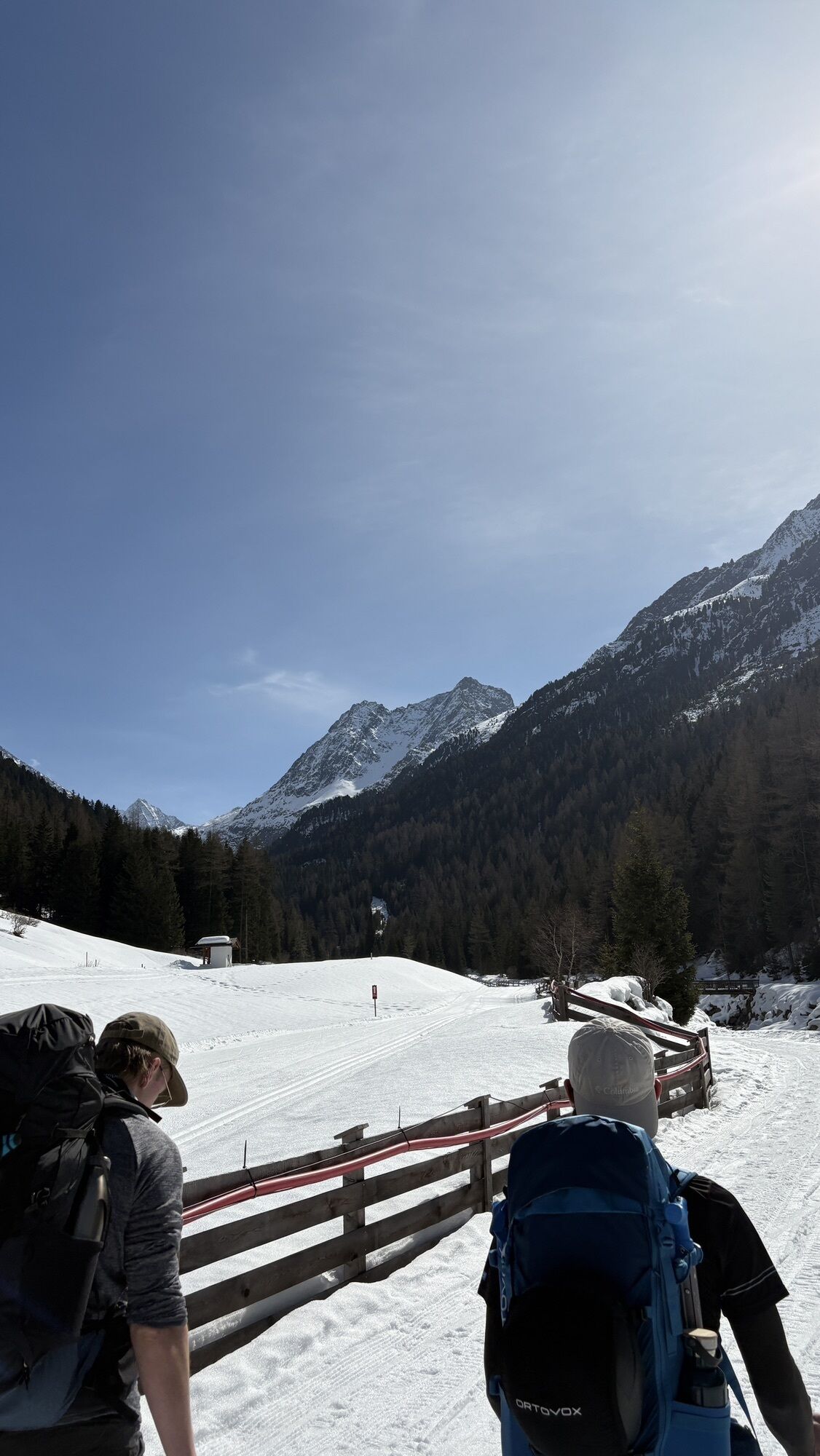
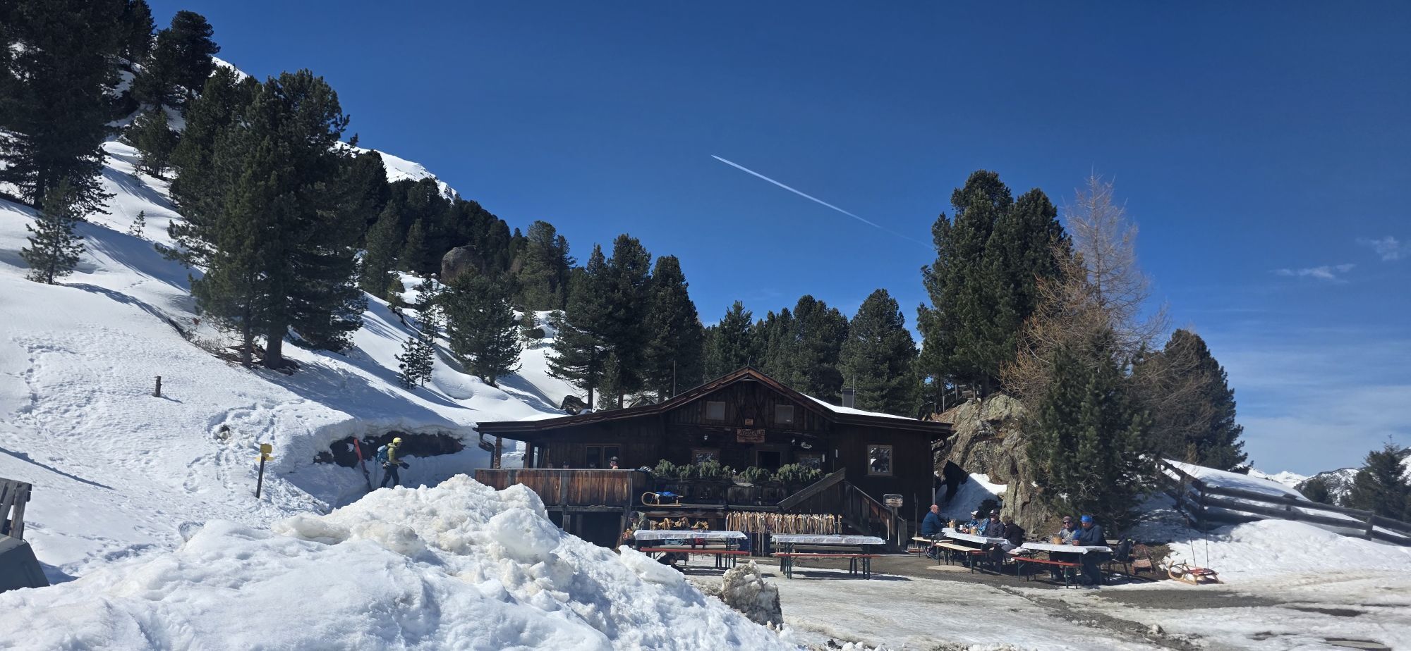
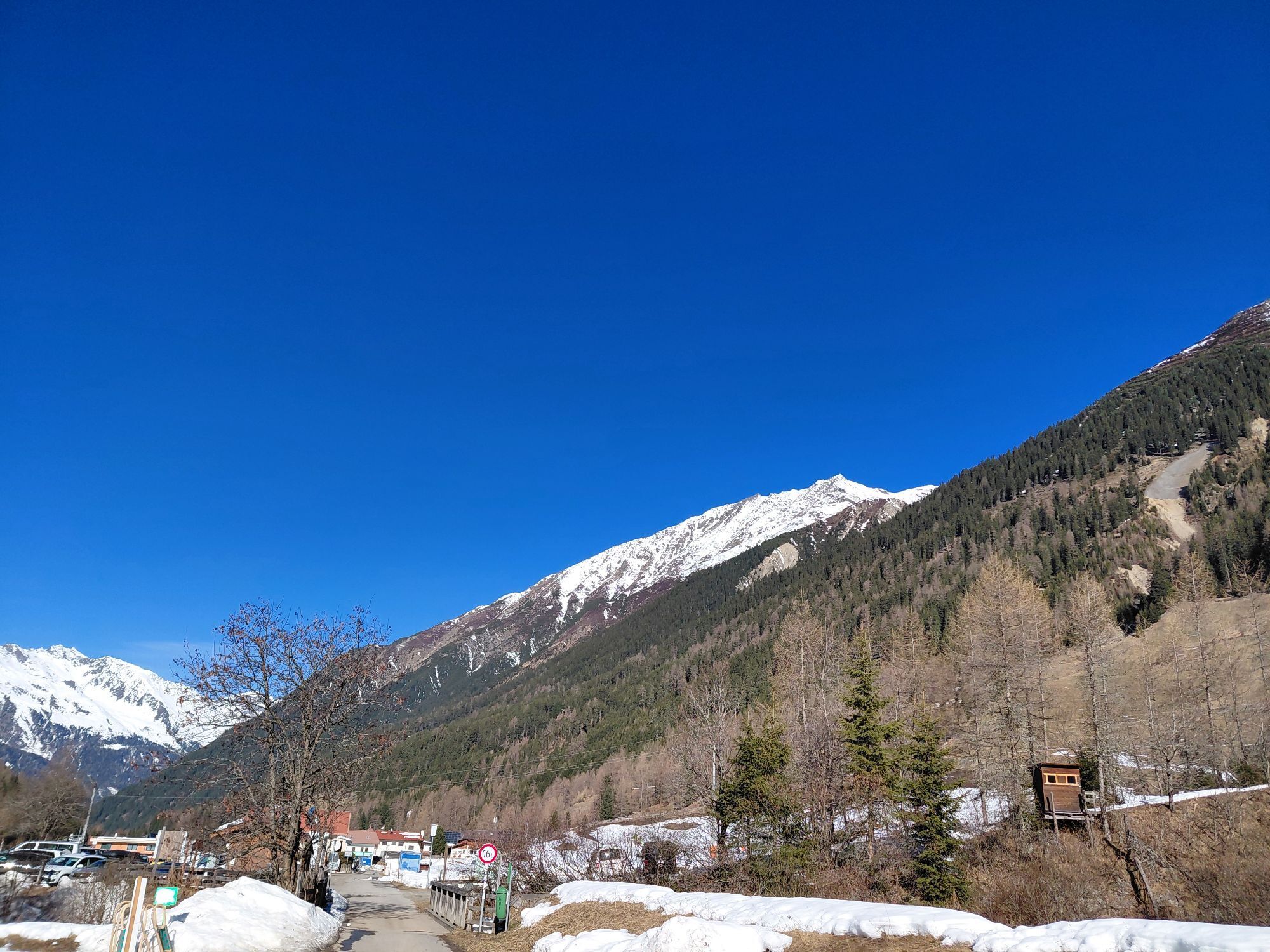
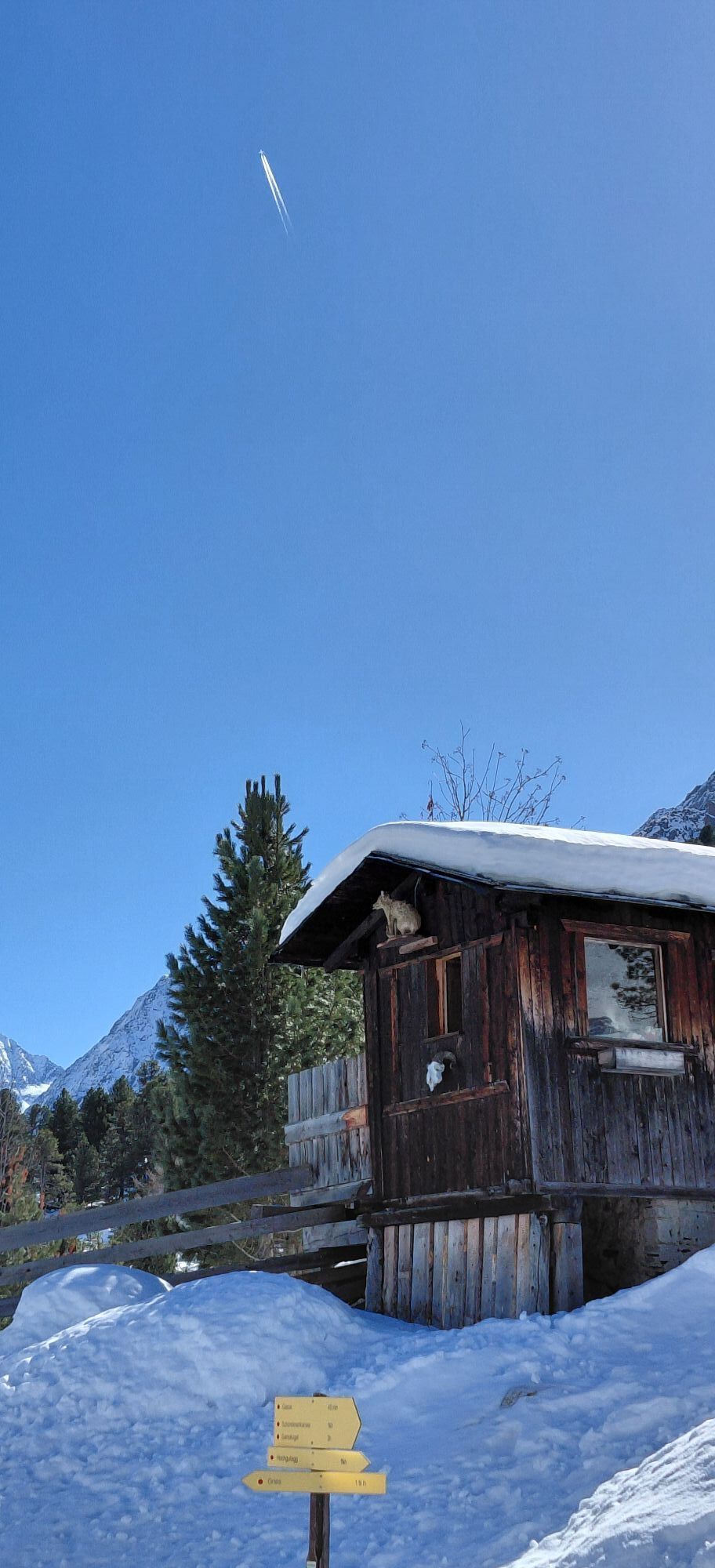
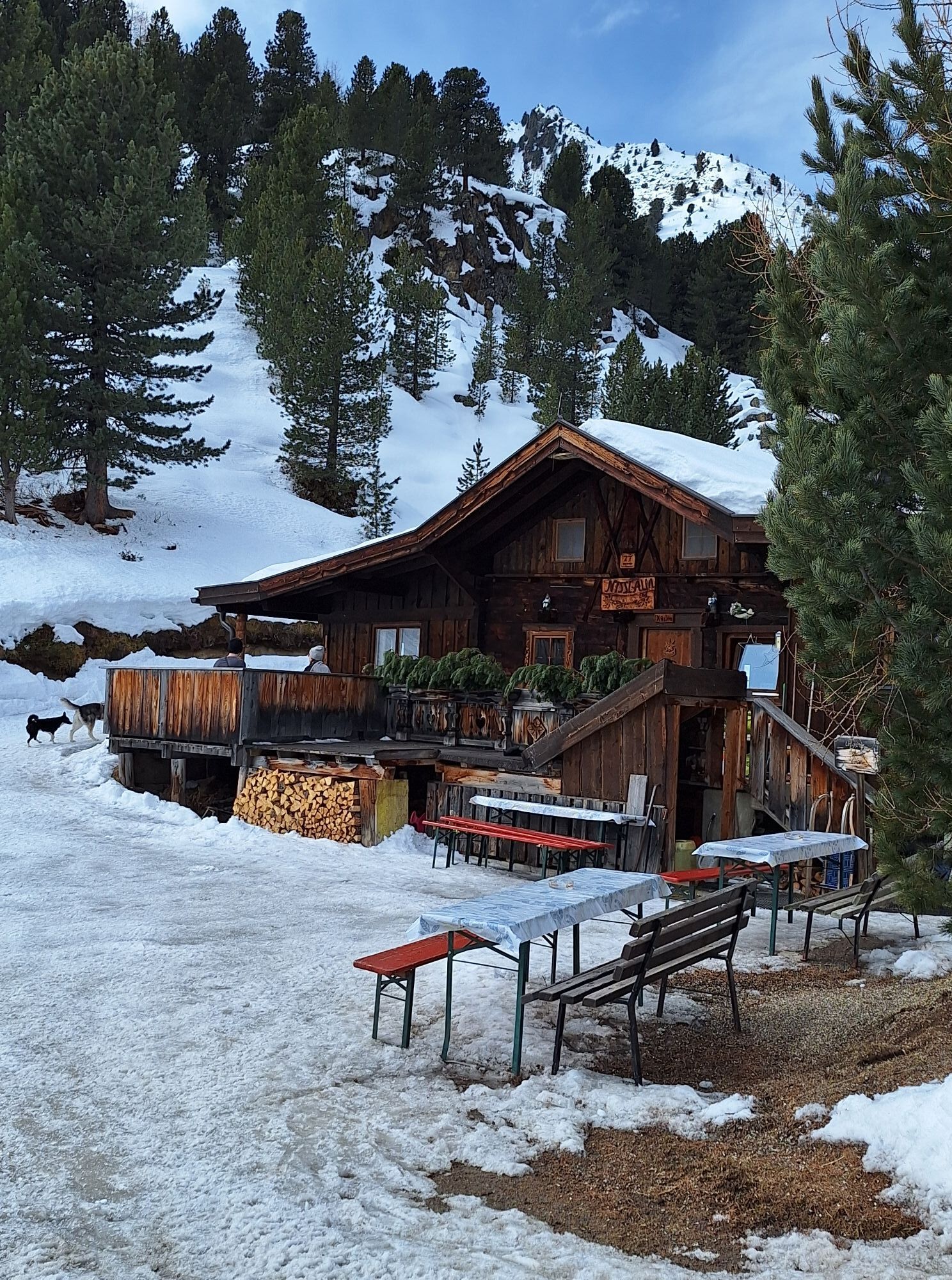
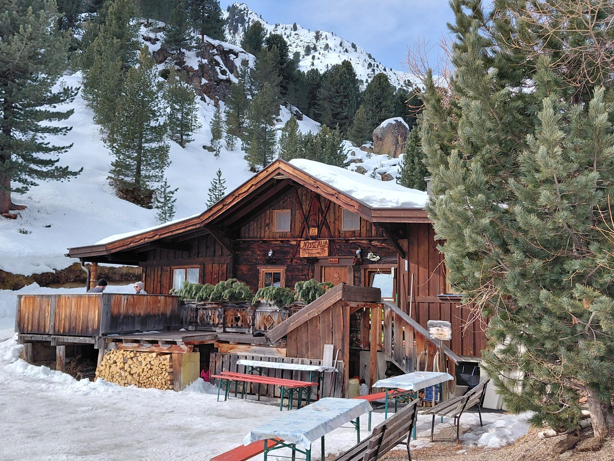
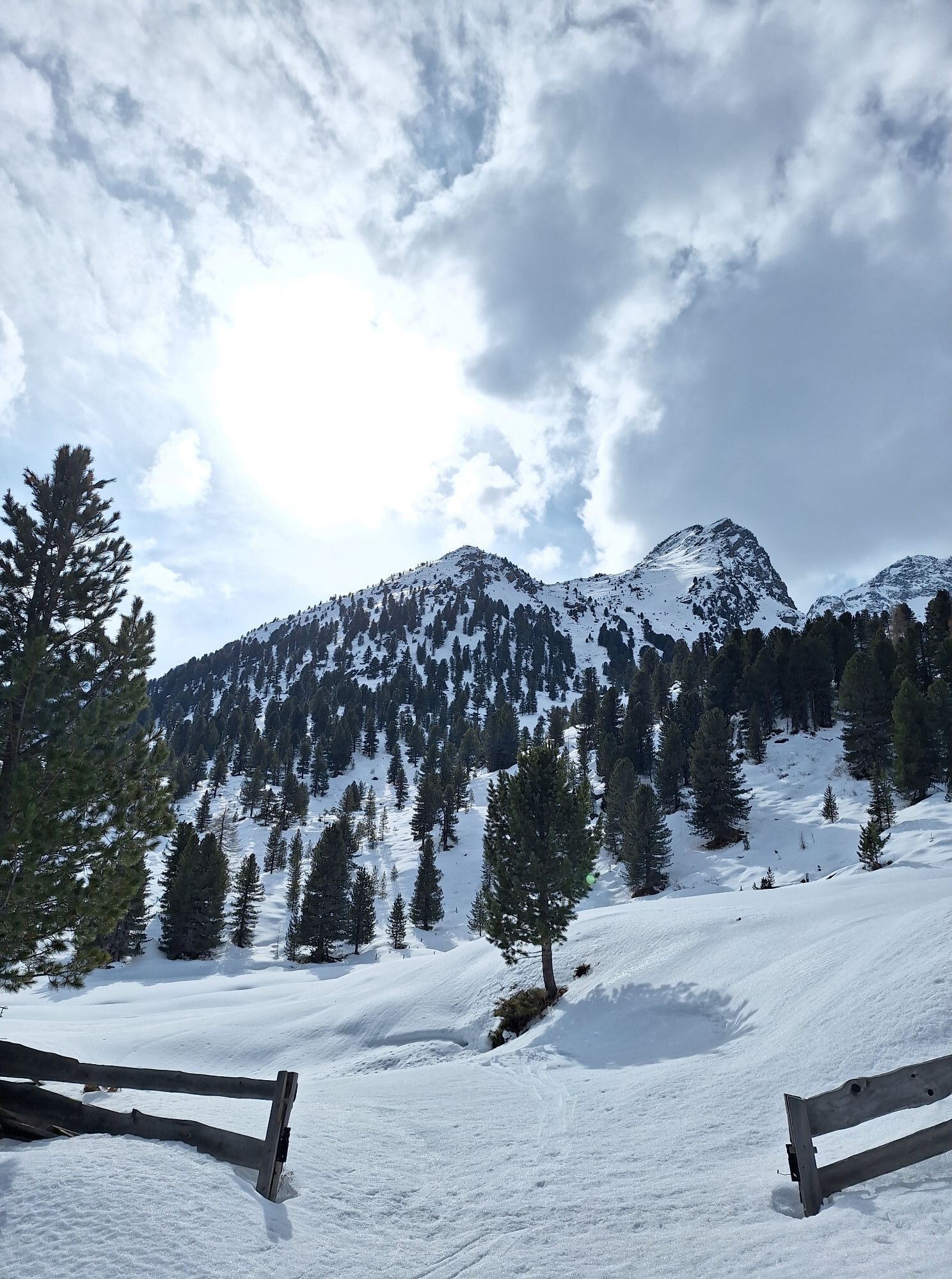
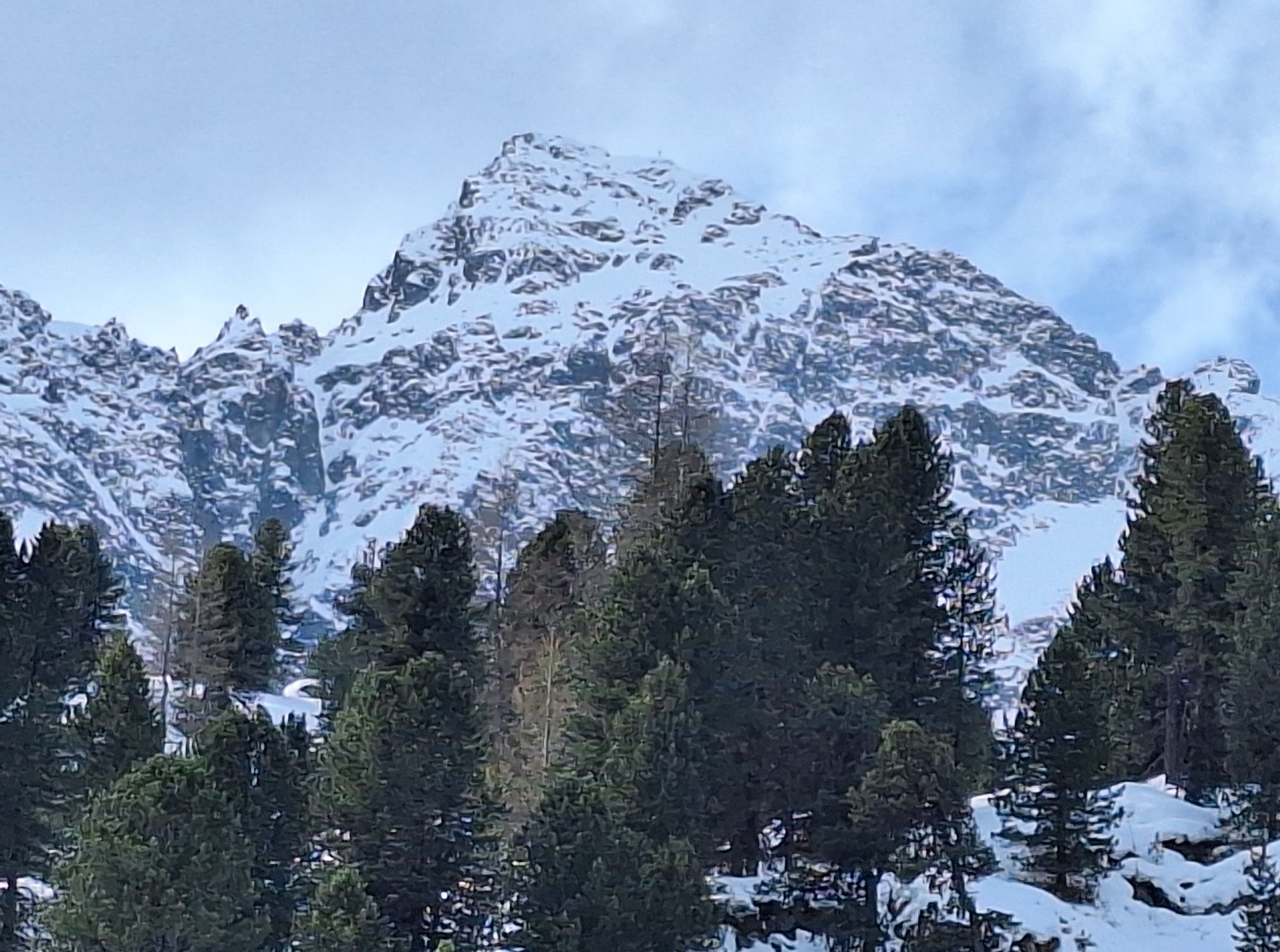
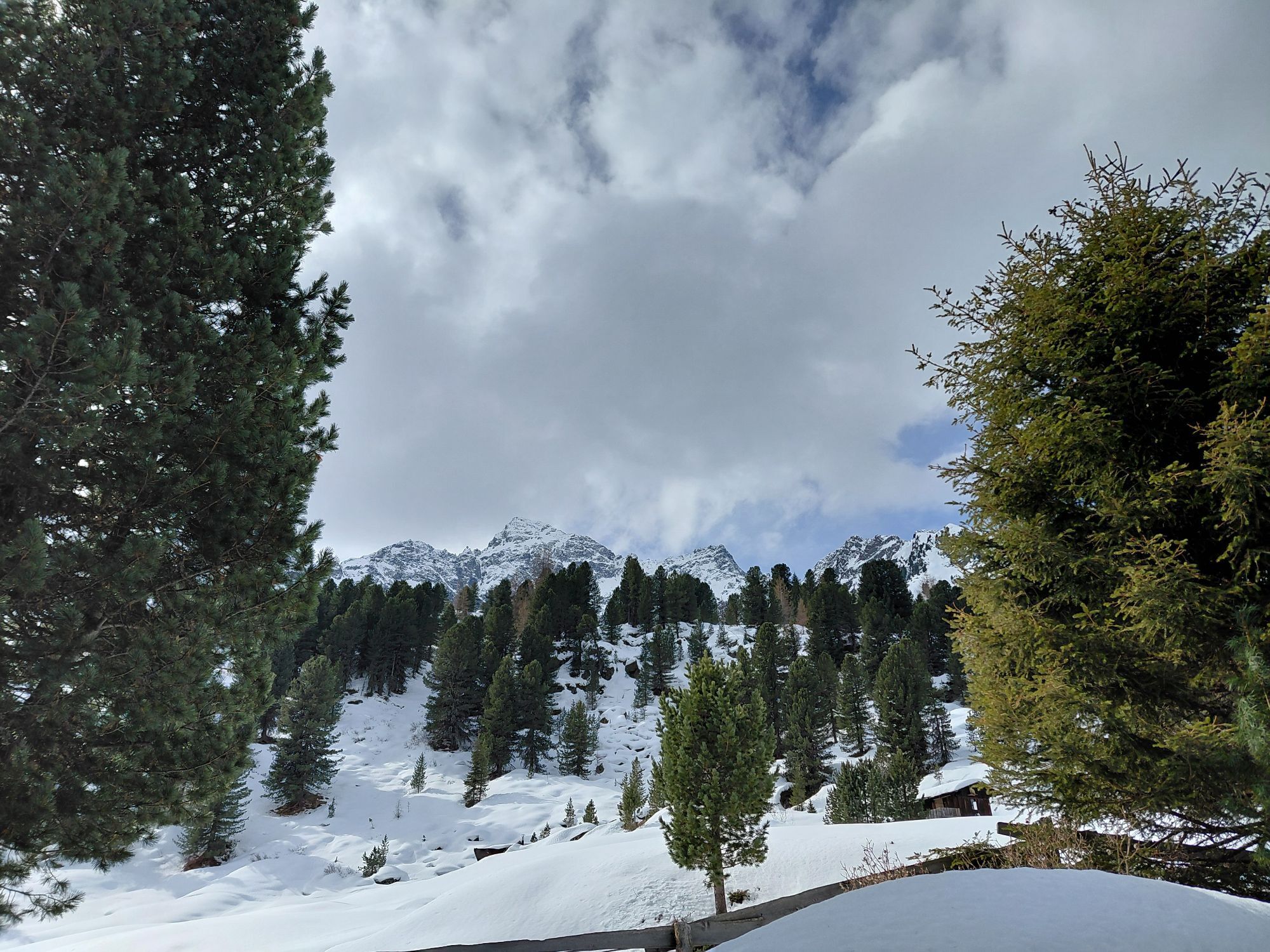

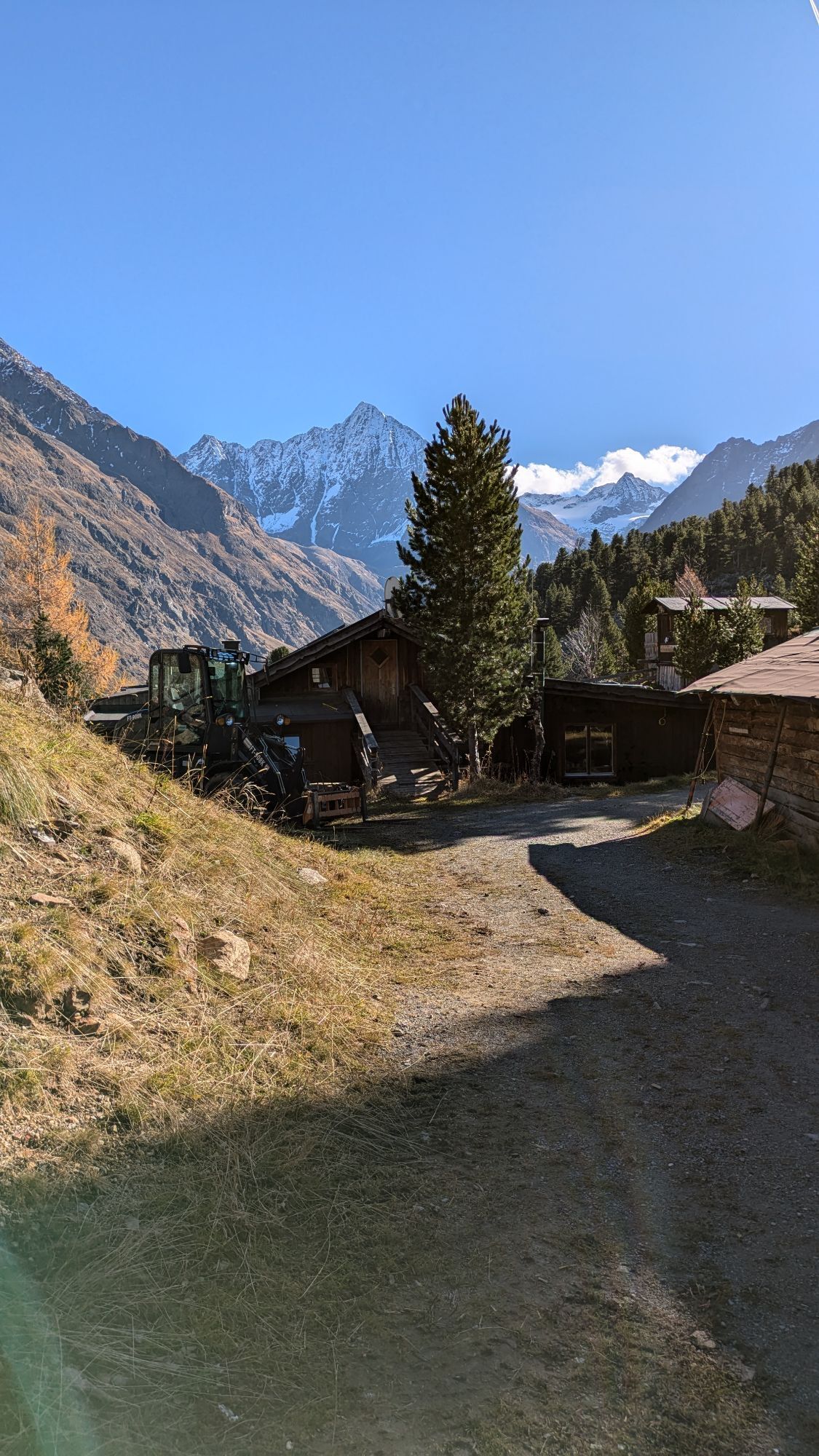
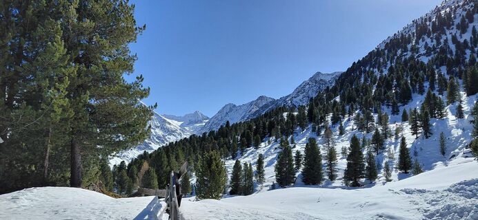
A place in the sun, lots of dark wood, easily accessible and open all year round - this sums up the advantages of the Nisslalm. The fact that hot and cold food is available all day is thanks to the innkeeper...
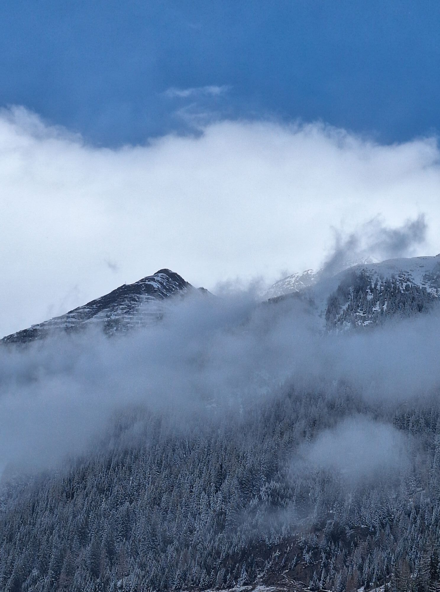
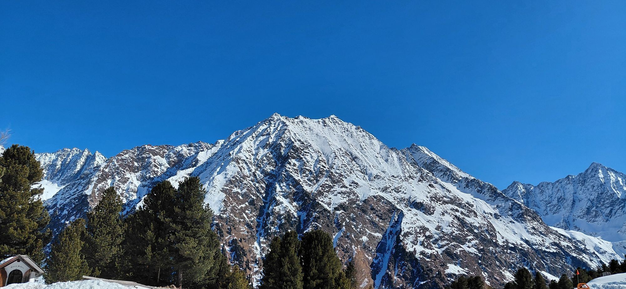
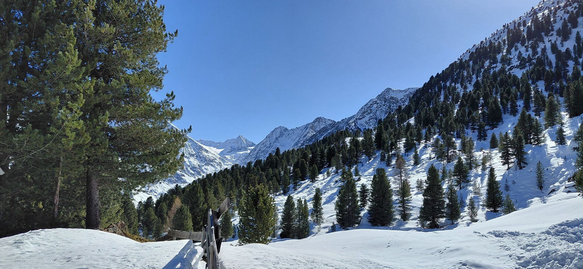
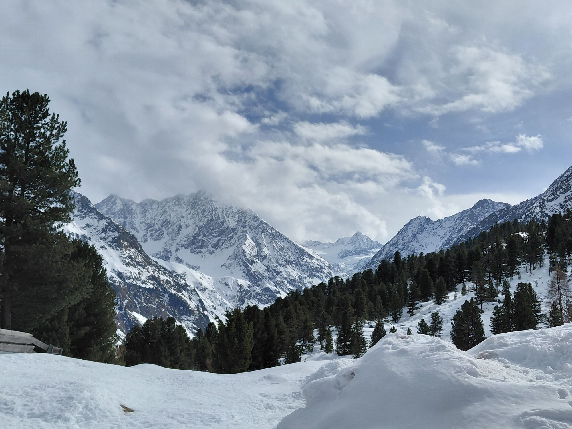
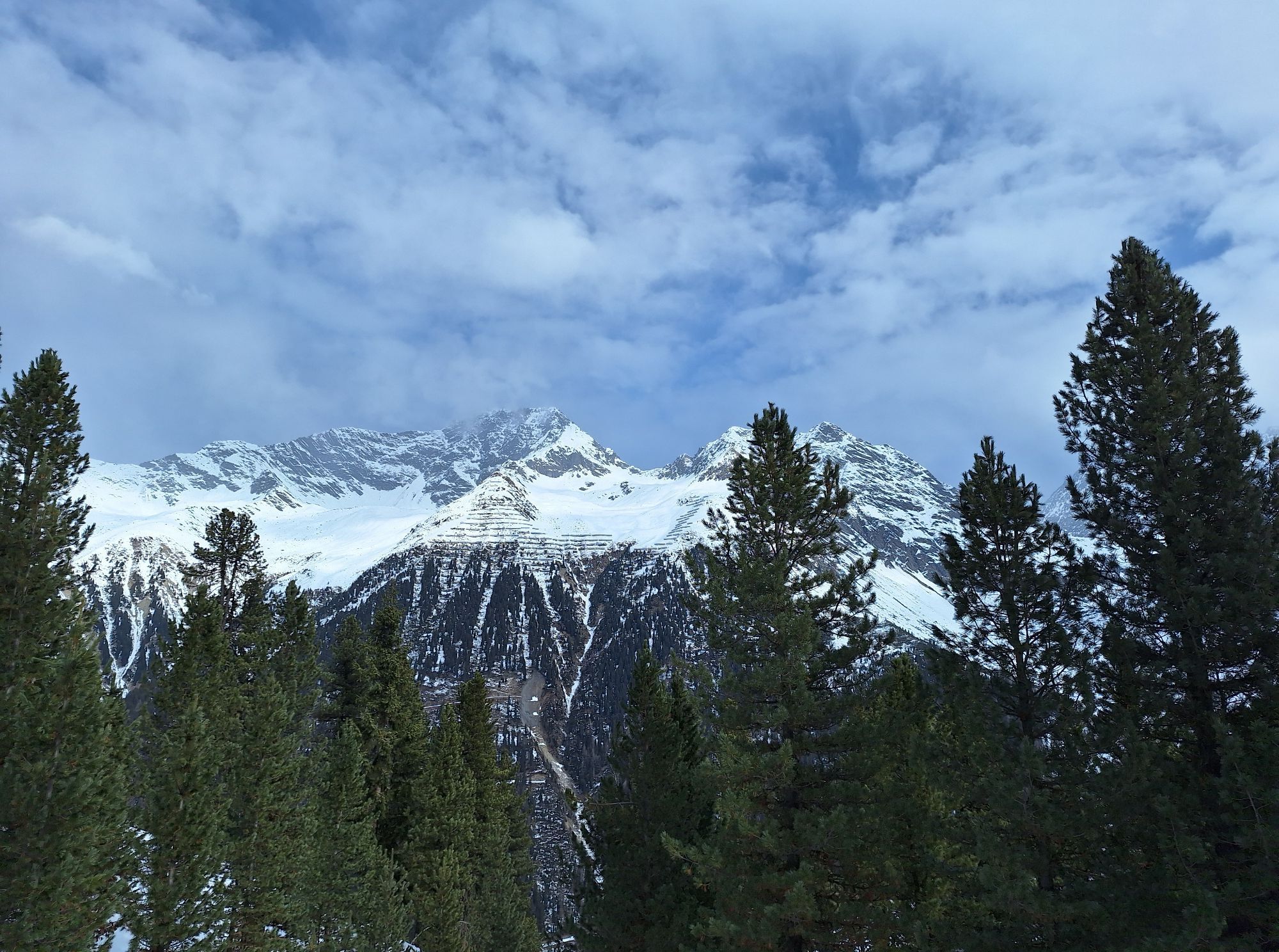
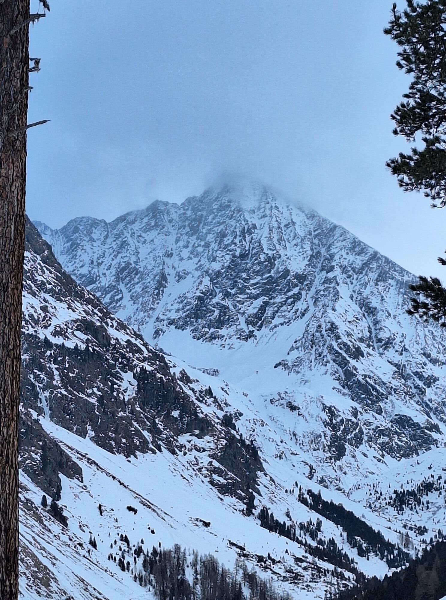
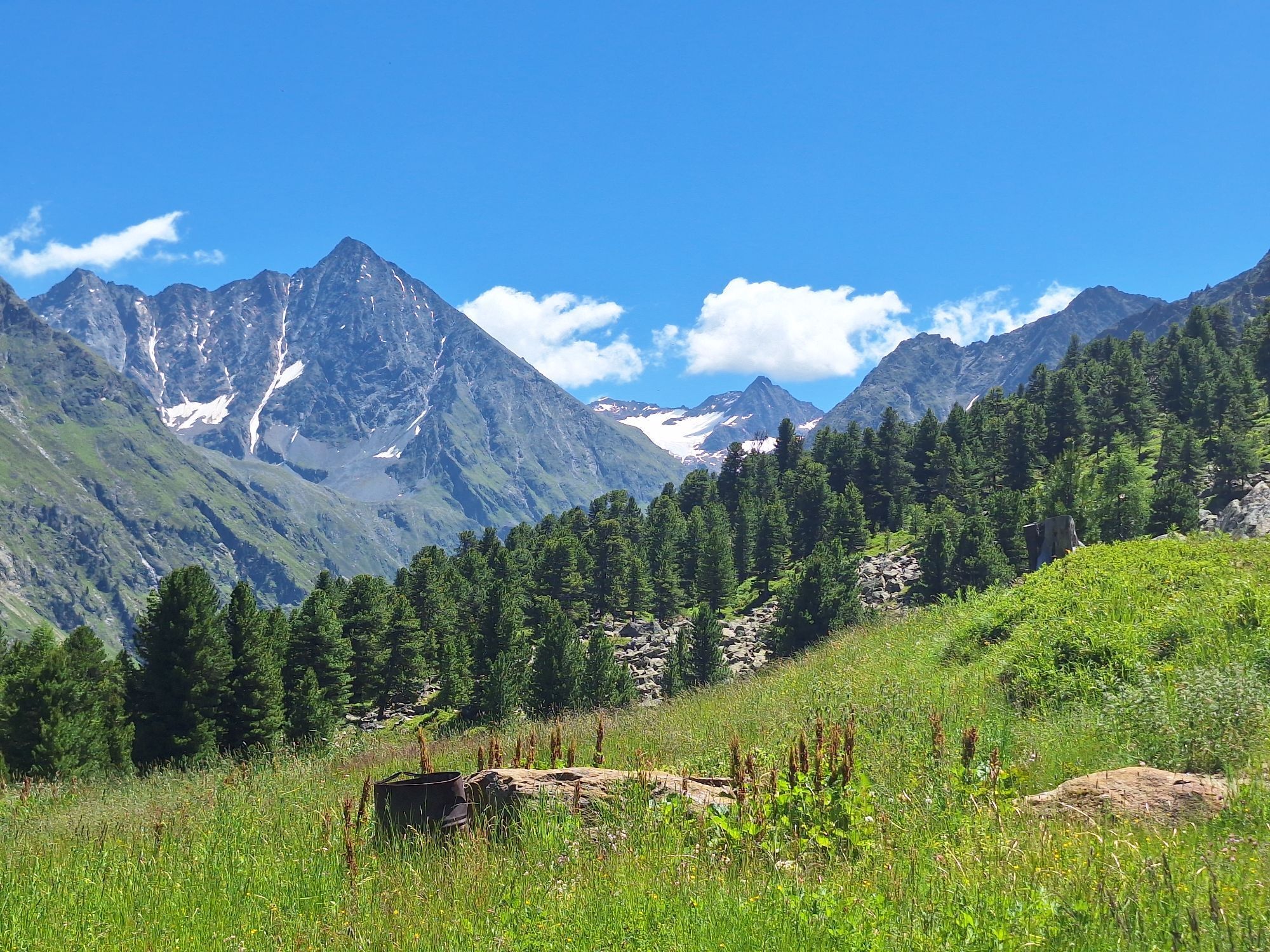
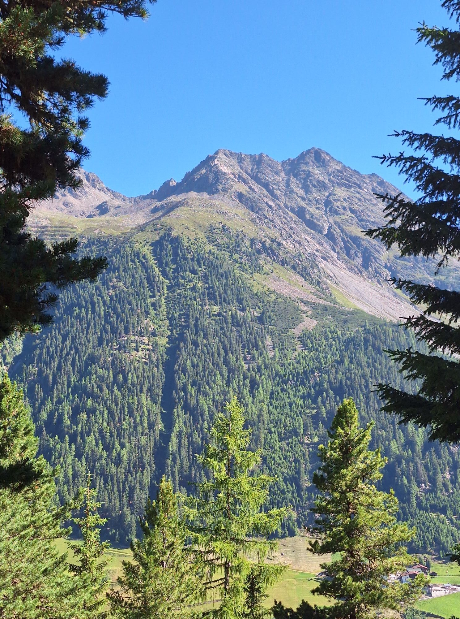
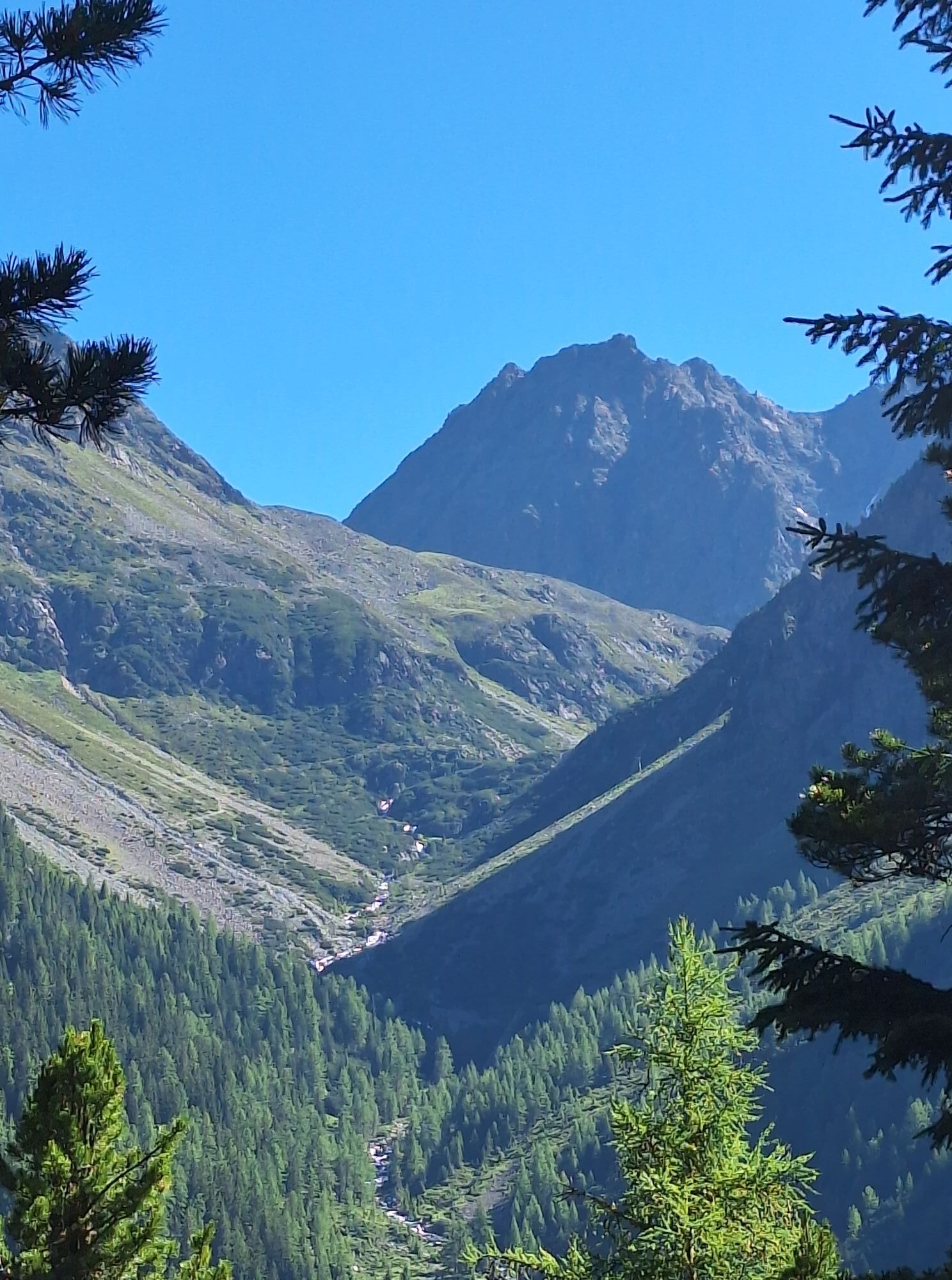
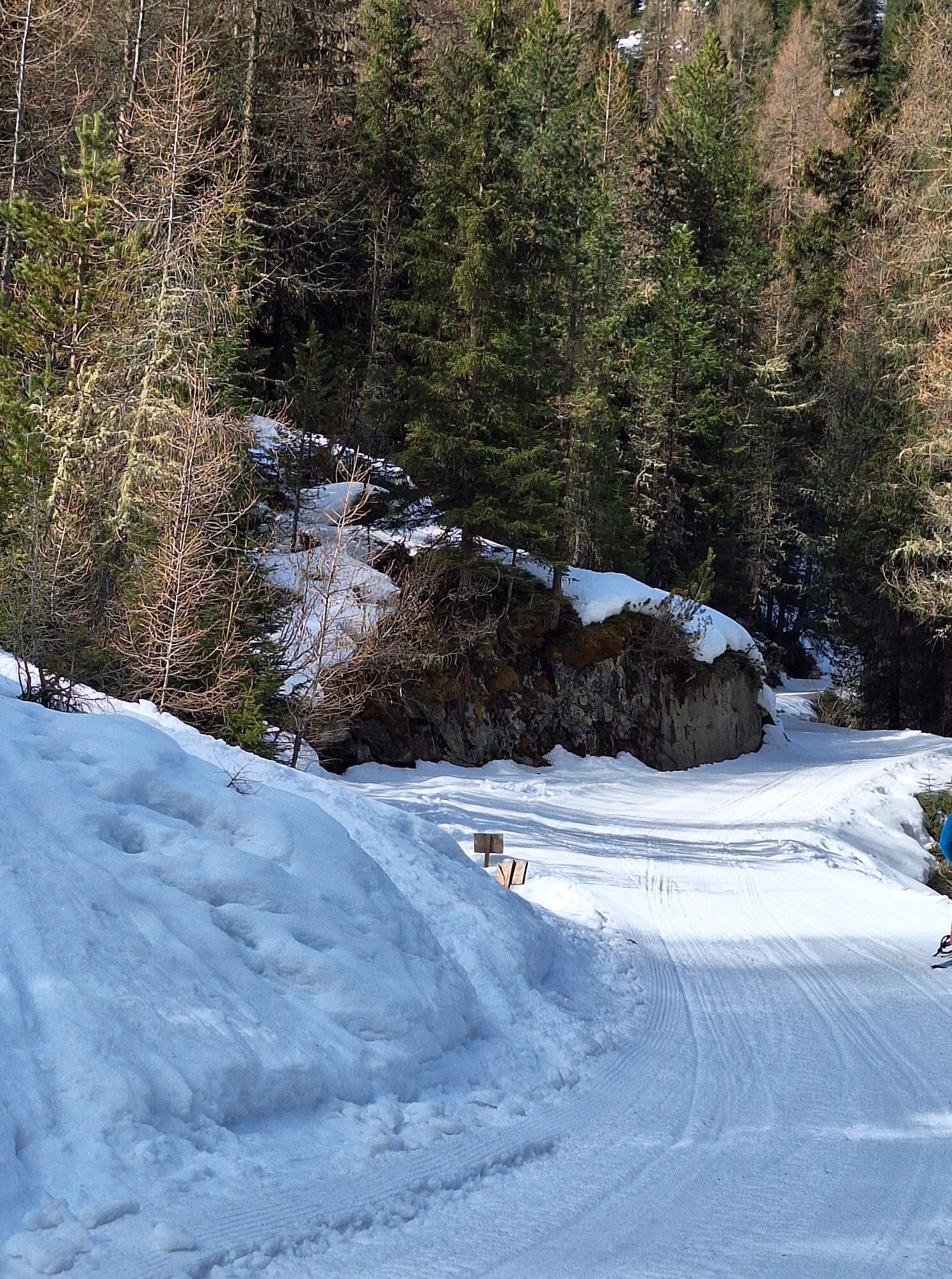
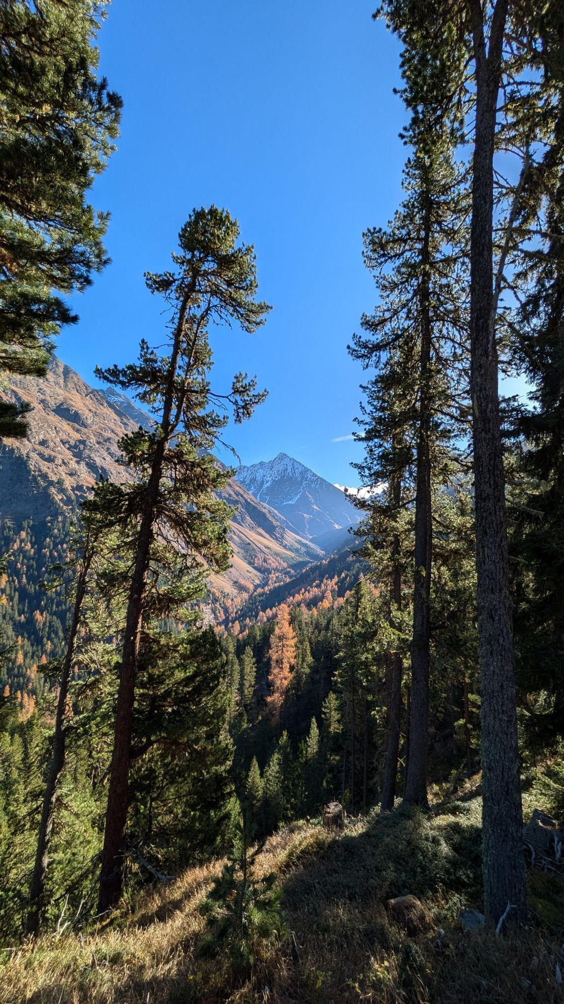
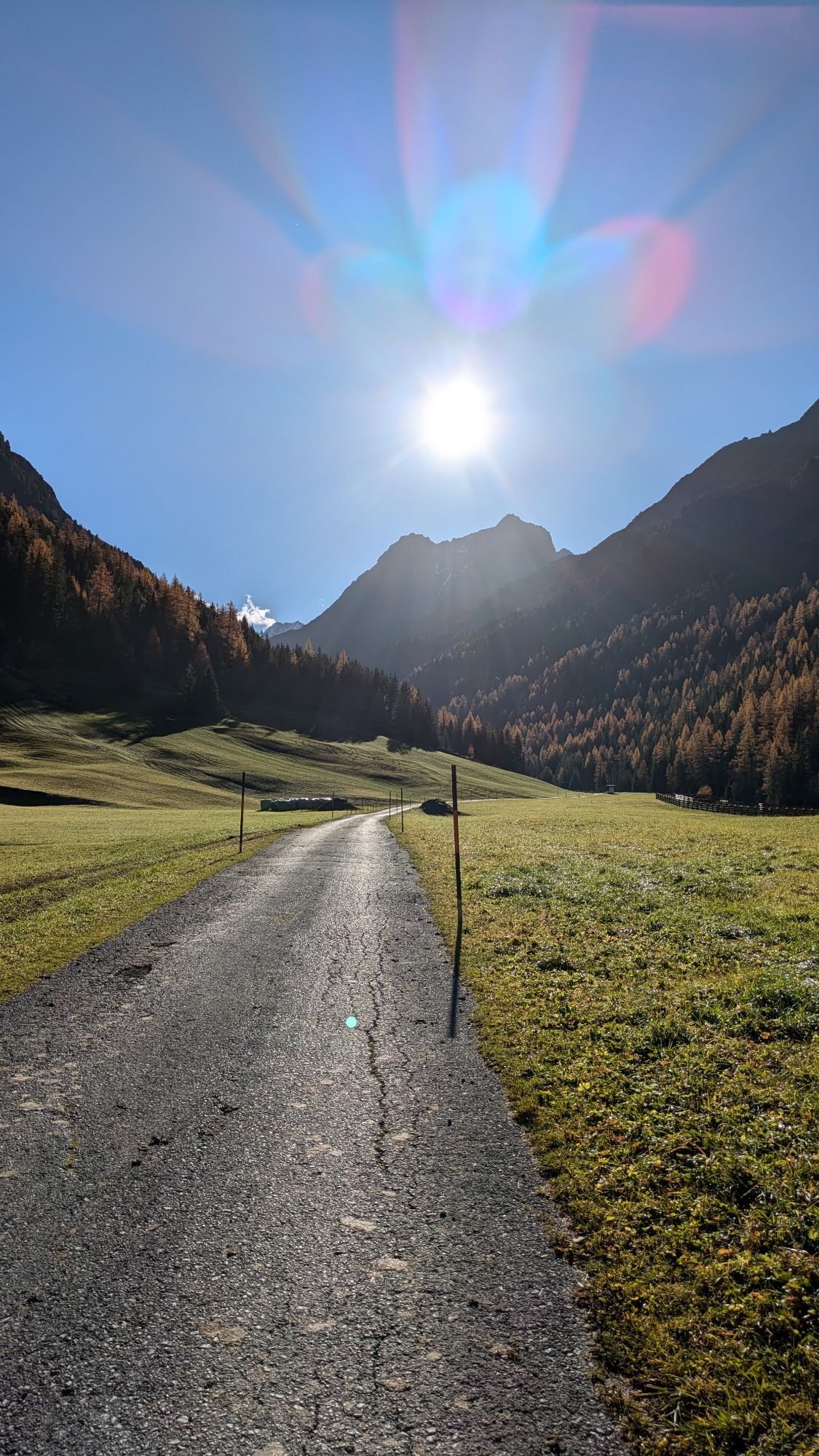
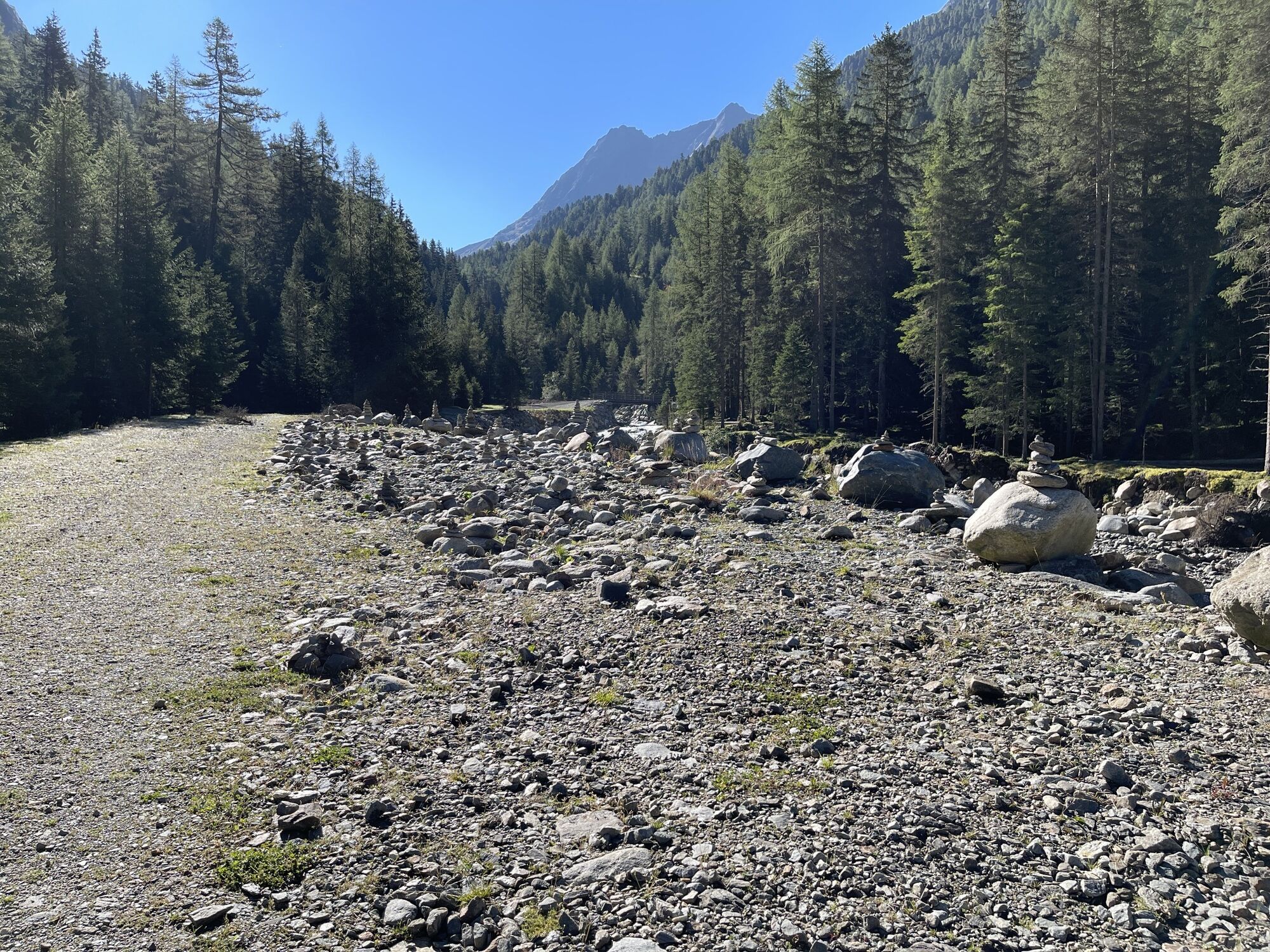
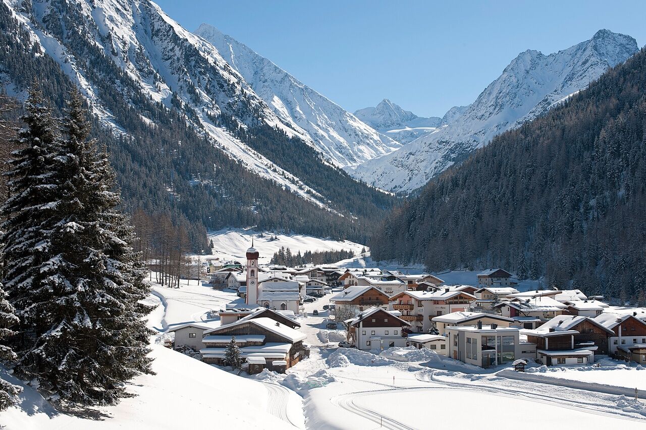
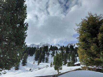
A place in the sun, lots of dark wood, easily accessible and open all year round - this sums up the advantages of the Nisslalm. The fact that hot and cold food is available all day is thanks to the innkeeper Albertina, who holds the fort here 365 days a year at an altitude of 2,054 m. The views into the Sulztal make the trip a high alpine experience. From the Gries parking lot you follow the path towards Sulztalalm for about half an hour, then branch off right (signposted) and climb the pine forest in evenly inclined switchbacks. Finally the forest thins out - on a sunny balcony lies the 130-year-old Nisslalm. Due to the north-facing location the slope of the Nisslalm is relatively snow-safe for a long time, usually from early December to mid-April. The descent is made on the same path or by sled.
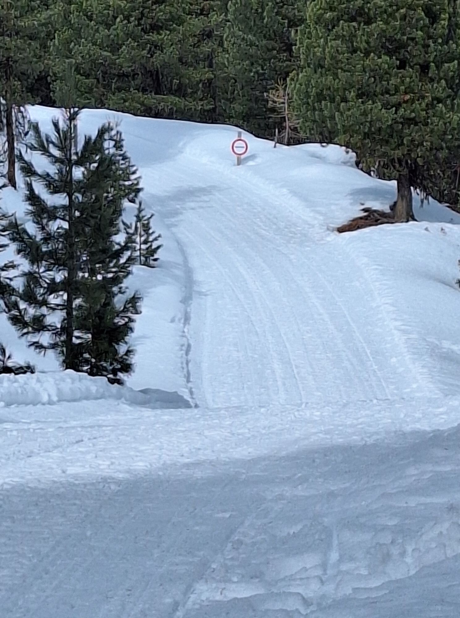
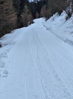
Please expect toboggan traffic coming up during the ascent!!

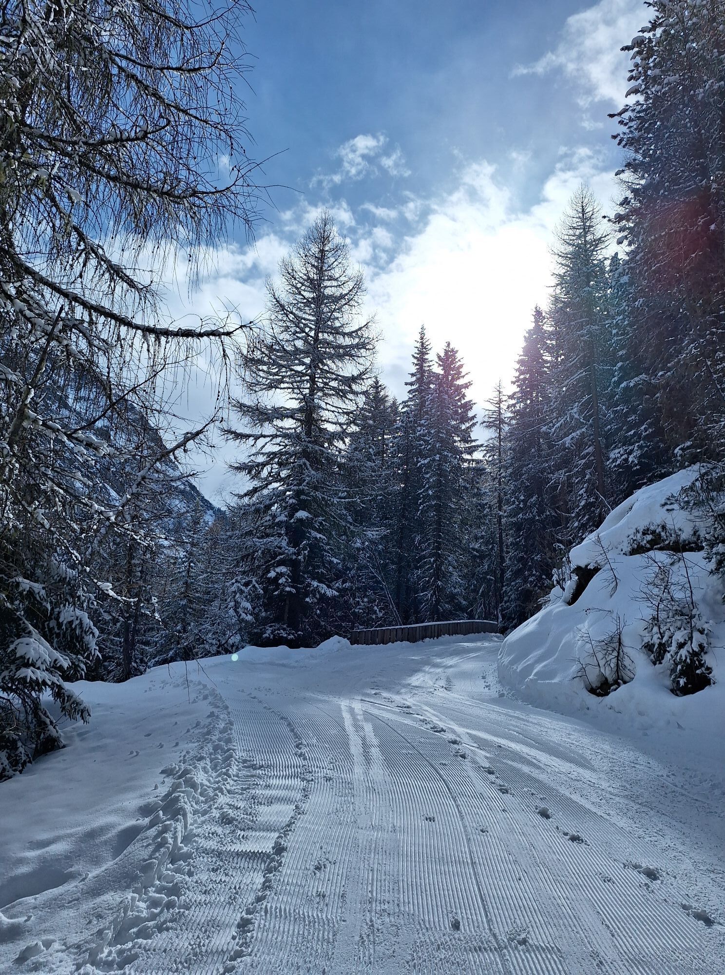
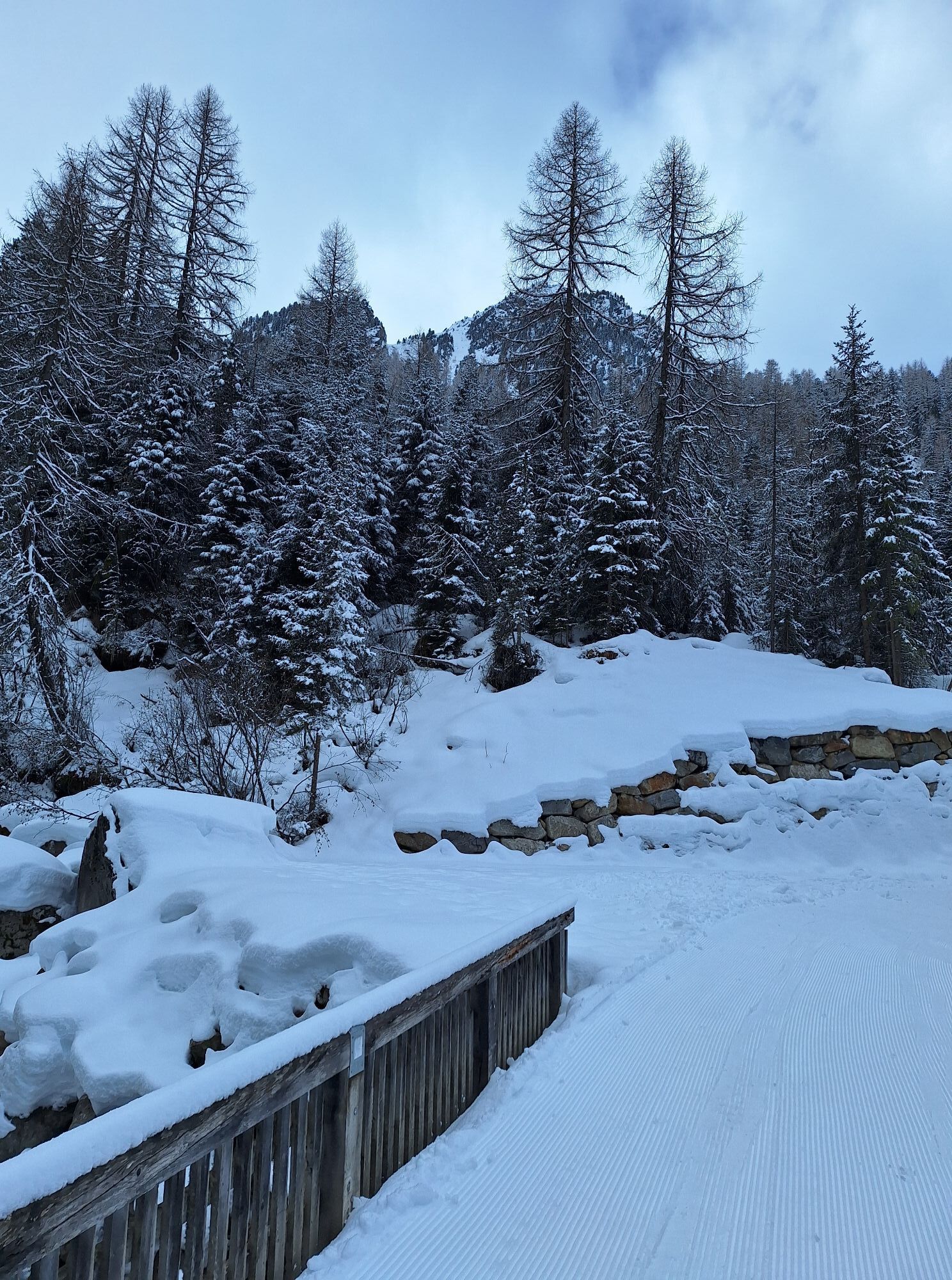
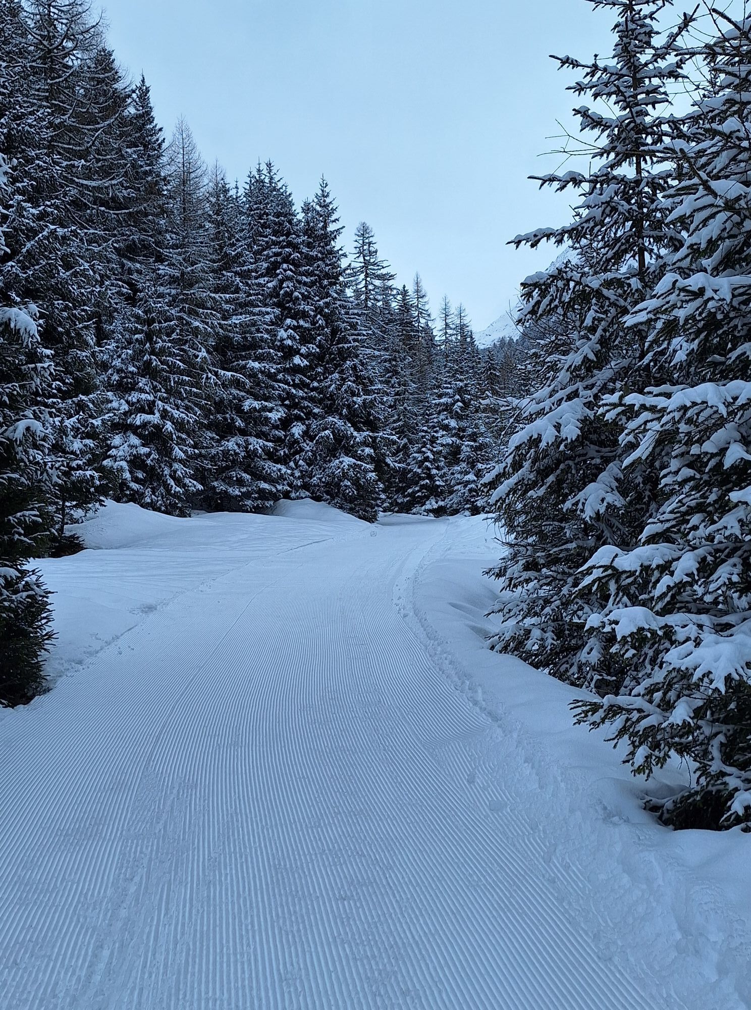
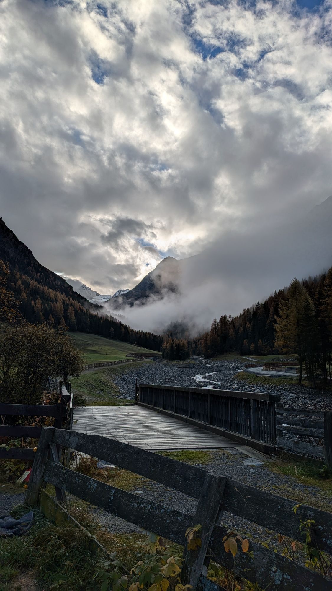
From the parking lot in Gries the path leads very gently to the Vögelas bridge. From here the incline rises noticeably. After a few switchbacks the path branches off to the right. This path leads with some bends and a pleasant incline up to the hut.
Appropriate equipment such as breathable and weather-appropriate outdoor clothing is required for all hikes and routes.
Please note the current snow and avalanche report for the coming days: https://www.oetztal.com/de/ & https://lawinen.report/bulletin/latest
The Ötztal Tourism team will be happy to provide you with personal information about the condition of the winter hiking trails.
Ötztal Tourism T +43 5 72 00 300 - info@laengenfeld.com
The car trip into ÖTZTAL
The journey by car takes travelers through the Inn valley to the valley entrance and continues along the Ötztal. In addition to the toll highway, country roads can also be used. You can quickly and conveniently determine your route with the route planner. To the route planner: https://www.google.at/maps
Travel comfortably and safely by train to the Ötztal station. The final station and exit point is ÖTZTAL station. Afterwards, travel conveniently and quickly by public transport or local taxi companies throughout the valley to your desired destination! The current bus schedule can be found at: http://fahrplan.vvt.at
The following parking options are available in Gries:
Gries at the end of the village – paid
1
More info about winter hiking in the Ötztal: https://www.oetztal.com/winterwandern
The Nisslalm offers a toboggan rental.
Kamery internetowe z trasy
Aktywności na trasie
-

Längenfeld, Tirol/Österreich
18.04.2026 – Wędrówka -


Längenfeld, Tirol/Österreich Nisselalm
05.04.2026 – Wędrówka -

Nisslalm, Gries, Tyrol/Autriche
04.03.2026 – Wędrówka zimą -
Längenfeld, Tirol/Österreich
02.03.2026 – Wędrówka -

Längenfeld, Tirol/Österreich
02.03.2026 – Wędrówka -
Längenfeld, Tirol/Österreich
08.02.2026 – Wędrówka -
Längenfeld, Tirol/Österreich Nisselalm
01.02.2026 – Jazda na sankach -
Längenfeld, Tirol/Österreich
27.01.2026 – Wędrówka -

Längenfeld, Tirol/Österreich
22.01.2026 – Wędrówka -

Nisslalm
13.12.2025 – Wędrówka -
Längenfeld, Tirol/Österreich
06.11.2025 – Wędrówka
Popularne wycieczki w okolicy
-
4,6
Winnebachsee Hut – Längenfeld/Gries
średniWędrówka 4,74 km -
4,8
Wilde Wasser Weg - Fortgeschritten
średniWędrówka 12,0 km -
4,3
Hike Stuibenfall - Umhausen
światłoWędrówka 2,95 km -
4,4
Stuibenfall Umhausen circular hike
światłoWędrówka 9,32 km -
4,7
Winter circular route Brandalm/Burgstein - Längenfeld 204
średniWędrówka zimą 5,44 km -
4,4
Rundwanderung Hängebrück3
światłoWędrówka 6,32 km -
4,3
Lampsenspitze, Sellrain, Tirol
średniWycieczka narciarska 4,97 km -
4,3
Amberger Hut - Längenfeld/Gries
średniWędrówka 5,60 km -
4,6
Umhausen - Stuibenfall - Umhausen
średniWędrówka 7,94 km -
5,0
Dresdner hütte - sulzenauerhütte
średniWędrówka 12,1 km
Wędrówki i tropienie


Nie przegap ofert i inspiracji na następne wakacje
Twój adres e-mail została dodana do listy mailingowej.