


Sellrain Hut Circuit Route 2
Zdjęcia naszych użytkowników
-

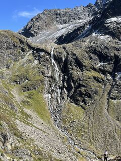
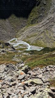
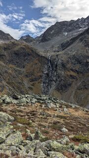
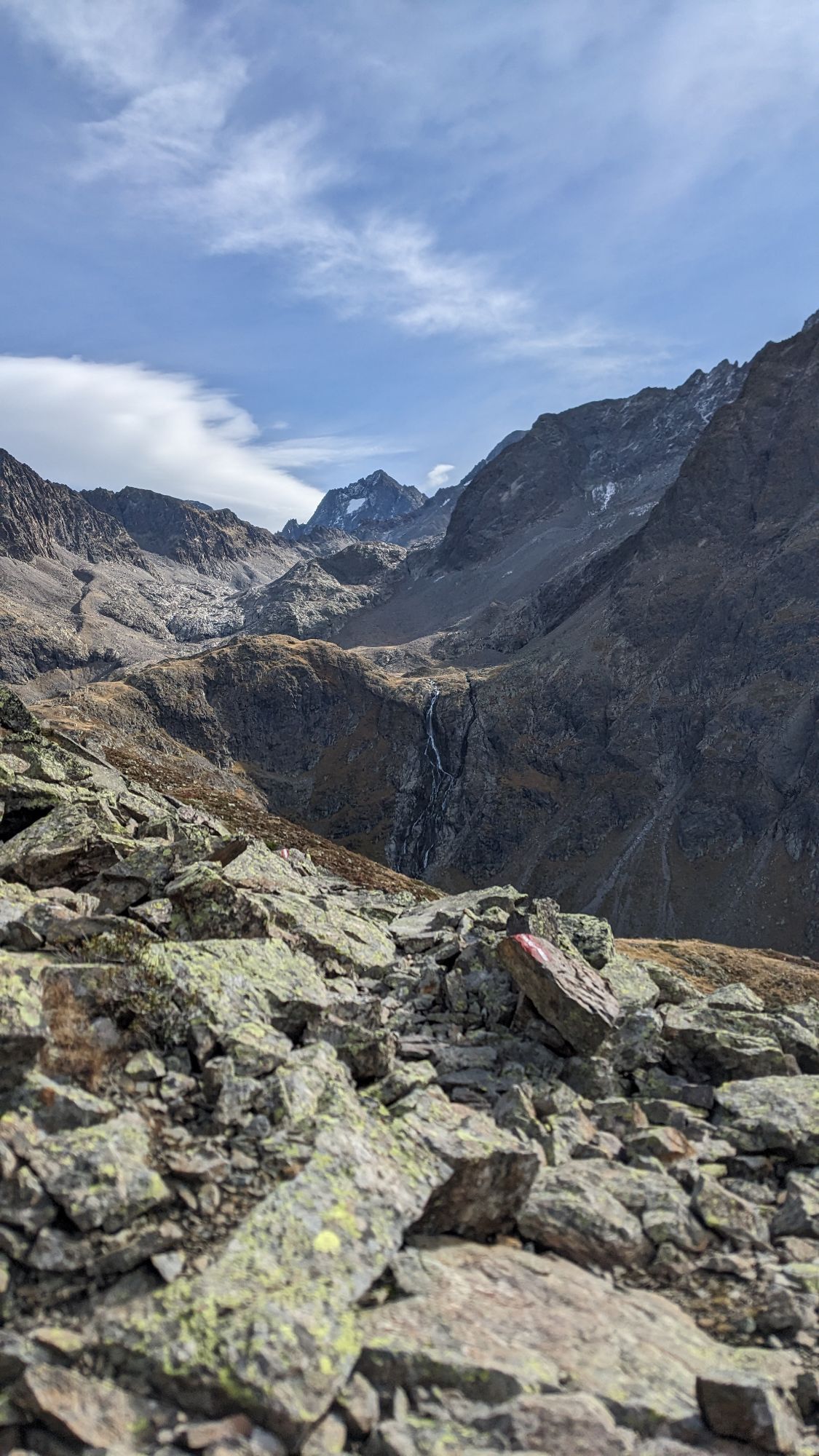
 © Robert RittigUtworzono dnia 22.06.2023
 -
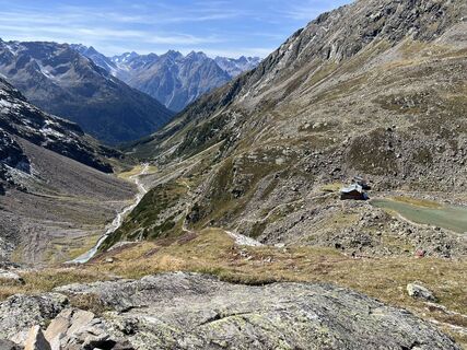
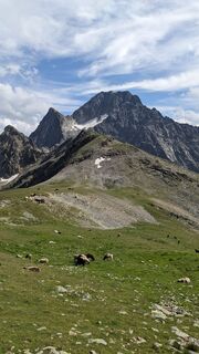
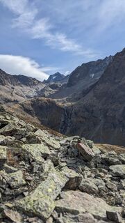
 © Robert RittigUtworzono dnia 22.06.2023
 -
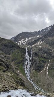
 © Robert RittigUtworzono dnia 22.06.2023
 -
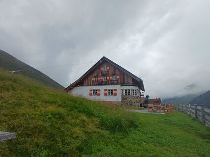
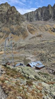
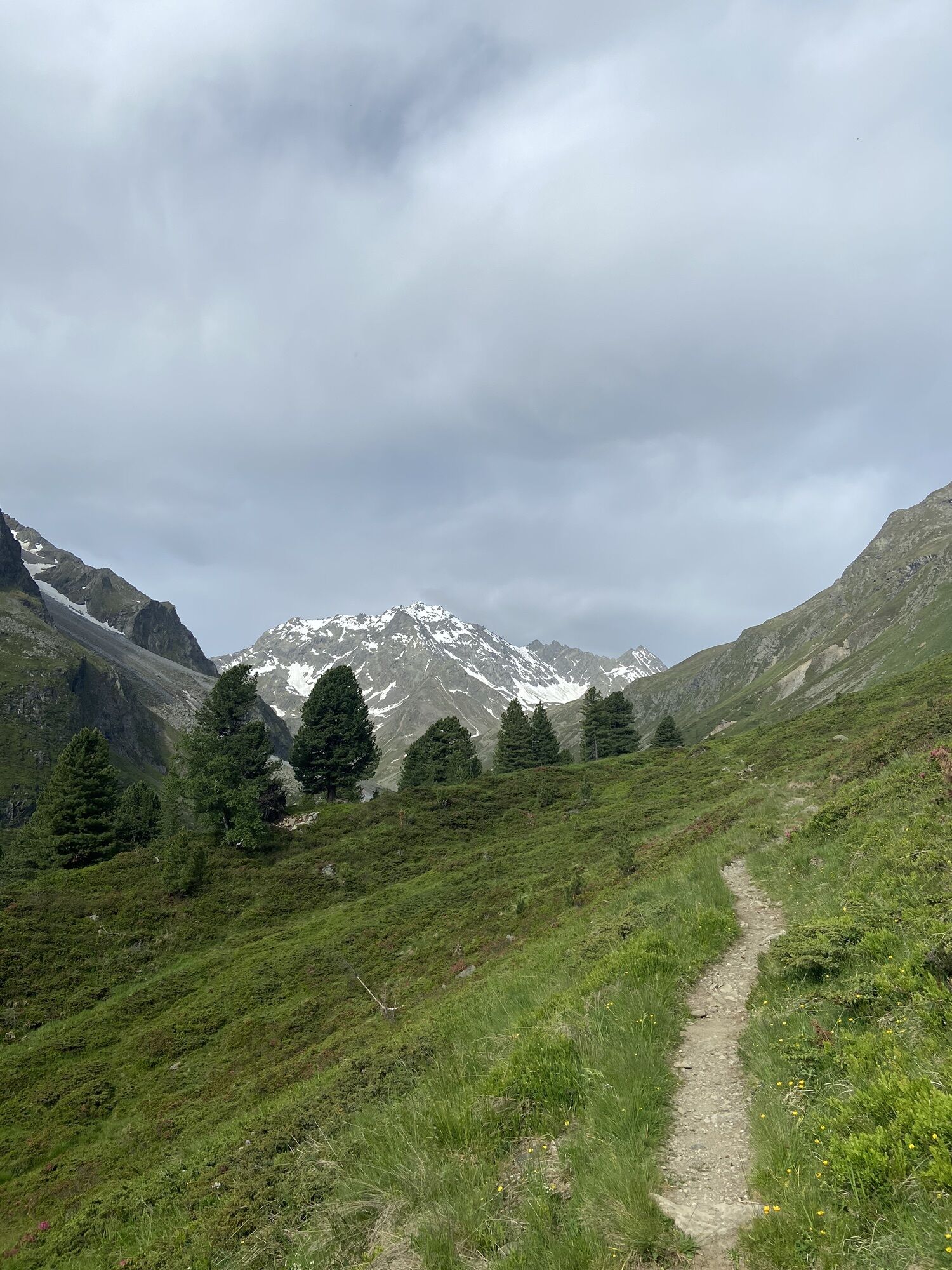
 © Bernhard Weiß 1Utworzono dnia 23.10.2022
 -
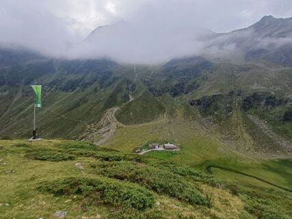
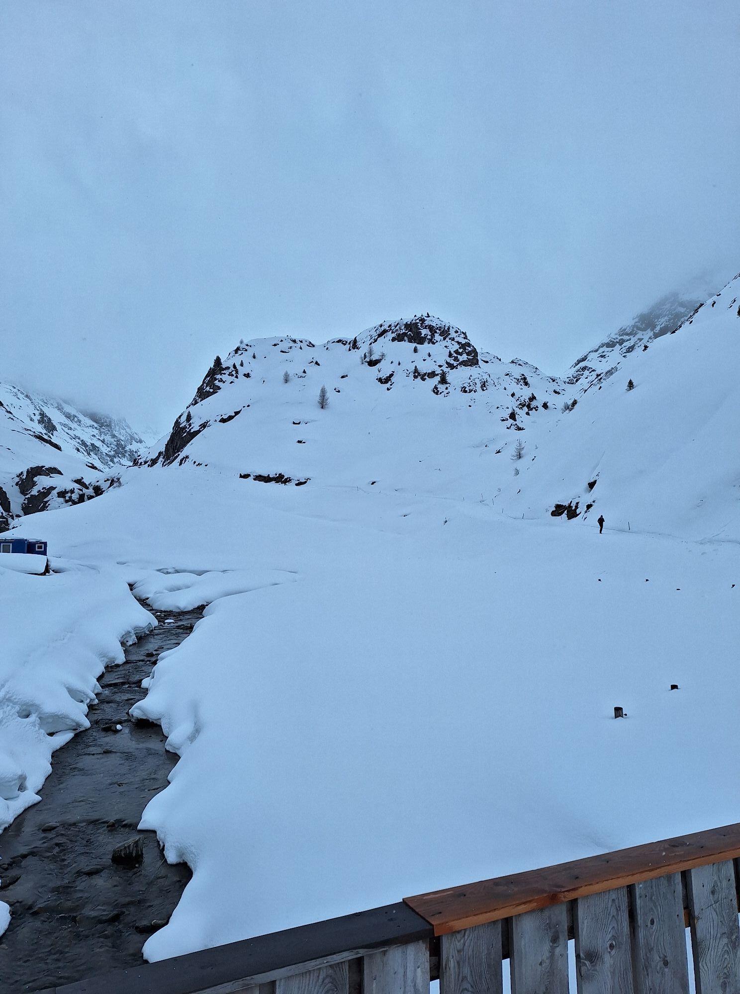
 © GabrielasttzUtworzono dnia 04.04.2026
 -
 © GabrielasttzUtworzono dnia 24.03.2026
 -
 © GabrielasttzUtworzono dnia 24.03.2026
 -
 © GabrielasttzUtworzono dnia 24.03.2026
 -
 © GabrielasttzUtworzono dnia 24.03.2026
 -
 © GabrielasttzUtworzono dnia 16.03.2026
 -
 © GabrielasttzUtworzono dnia 16.03.2026
 -

 © Sabine SteuxnerUtworzono dnia 16.03.2026
 -
 © GabrielasttzUtworzono dnia 16.03.2026
 -
 © GabrielasttzUtworzono dnia 16.03.2026
 -
 © GabrielasttzUtworzono dnia 16.03.2026
 -
 © Sabine SteuxnerUtworzono dnia 10.03.2026
 -
 © Sabine SteuxnerUtworzono dnia 28.02.2026
 -
 © Sabine SteuxnerUtworzono dnia 28.02.2026
 -
 © Sabine SteuxnerUtworzono dnia 28.02.2026
 -
 © fuzzy68Utworzono dnia 15.11.2025
 -
 © fuzzy68Utworzono dnia 15.11.2025
 -

 © Andrea TreichlUtworzono dnia 27.09.2025
 -
 © Mirko Johannes SchützUtworzono dnia 08.09.2025
 -
 © Andreas KrauseUtworzono dnia 06.09.2025
 -
 © Andreas KrauseUtworzono dnia 06.09.2025
 -
 © Andreas KrauseUtworzono dnia 06.09.2025
 -
 © Andreas KrauseUtworzono dnia 06.09.2025
 -
 © Andreas KrauseUtworzono dnia 06.09.2025
 -
 © Magnus ThurnesUtworzono dnia 17.08.2025
 -
 © Magnus ThurnesUtworzono dnia 17.08.2025
 -
 © Magnus ThurnesUtworzono dnia 17.08.2025
 -
 © Dietrich PinhammerUtworzono dnia 15.08.2025
 -
 © Dietrich PinhammerUtworzono dnia 15.08.2025
 -
 © Dietrich PinhammerUtworzono dnia 15.08.2025
 -

 © Koen de LaatUtworzono dnia 09.08.2025
 -
 © Koen de LaatUtworzono dnia 09.08.2025
 -
 © Anna LudwigUtworzono dnia 22.06.2025
 -
 © celina_kirchhUtworzono dnia 22.06.2025
 -
 © GabrielasttzUtworzono dnia 28.03.2025
 -
 © GabrielasttzUtworzono dnia 28.03.2025
 -
 © GabrielasttzUtworzono dnia 28.03.2025
 -
 © Manfred NeunerUtworzono dnia 07.02.2025
 -
 © Martin GlaserUtworzono dnia 07.09.2024
 -
 © Martin GlaserUtworzono dnia 26.07.2024
 -
 © Martin GlaserUtworzono dnia 30.06.2024
 -
 © Martin GlaserUtworzono dnia 23.10.2023
 -
 © Martin GlaserUtworzono dnia 23.10.2023
 -
 © Martin GlaserUtworzono dnia 23.10.2023


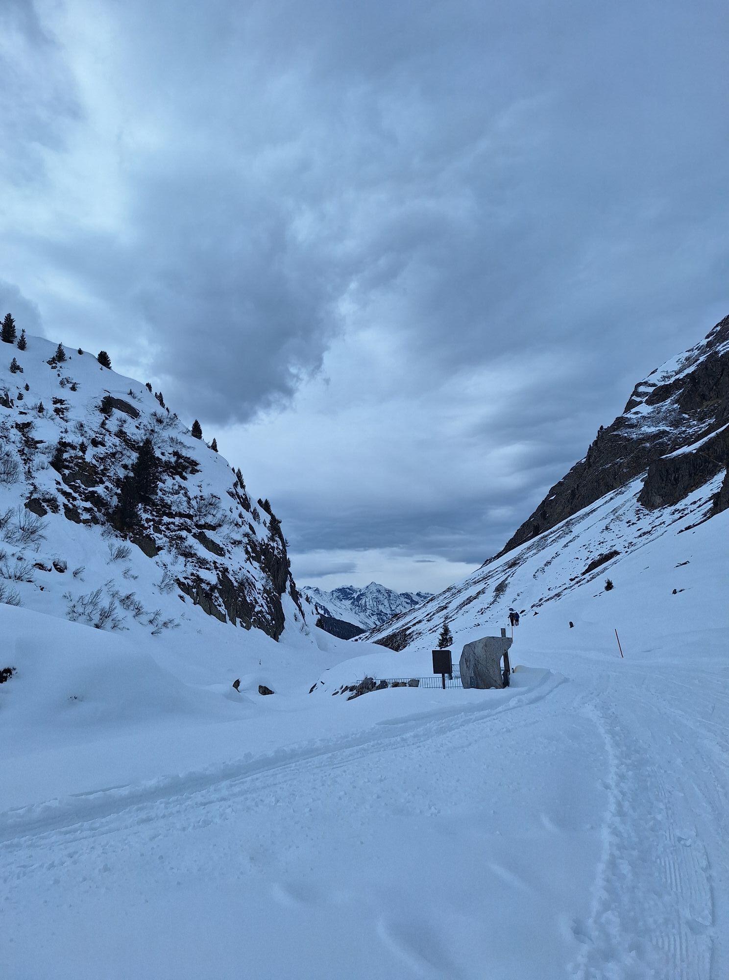

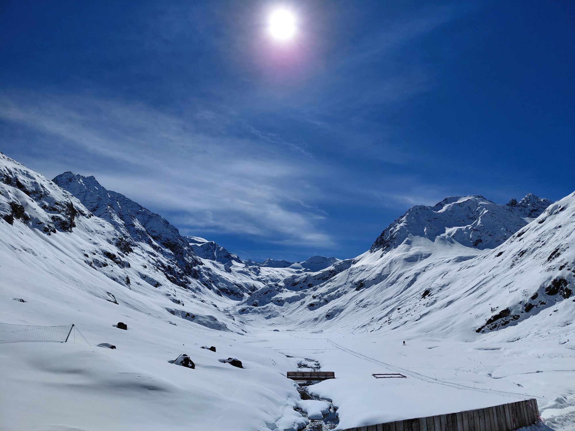
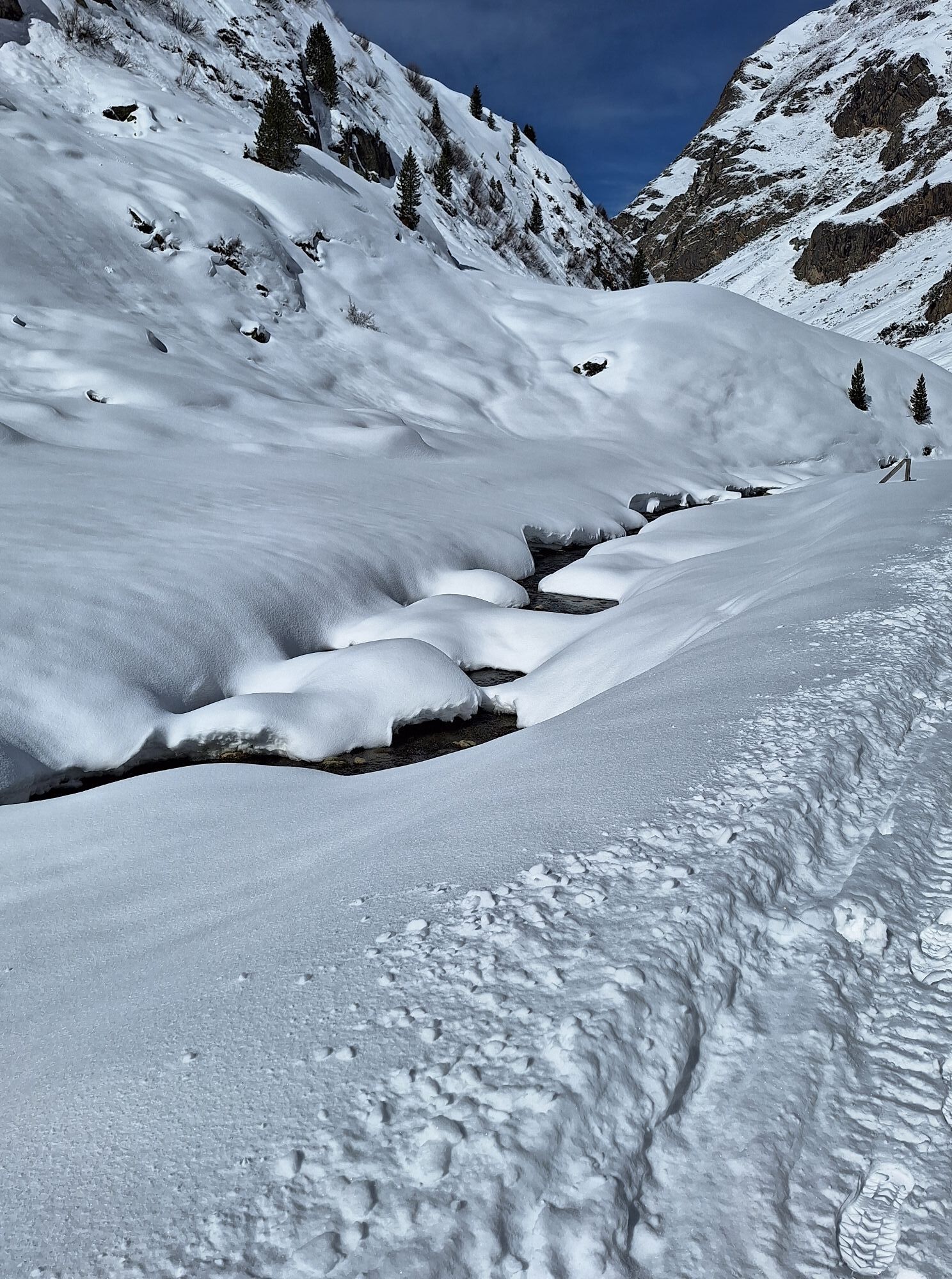

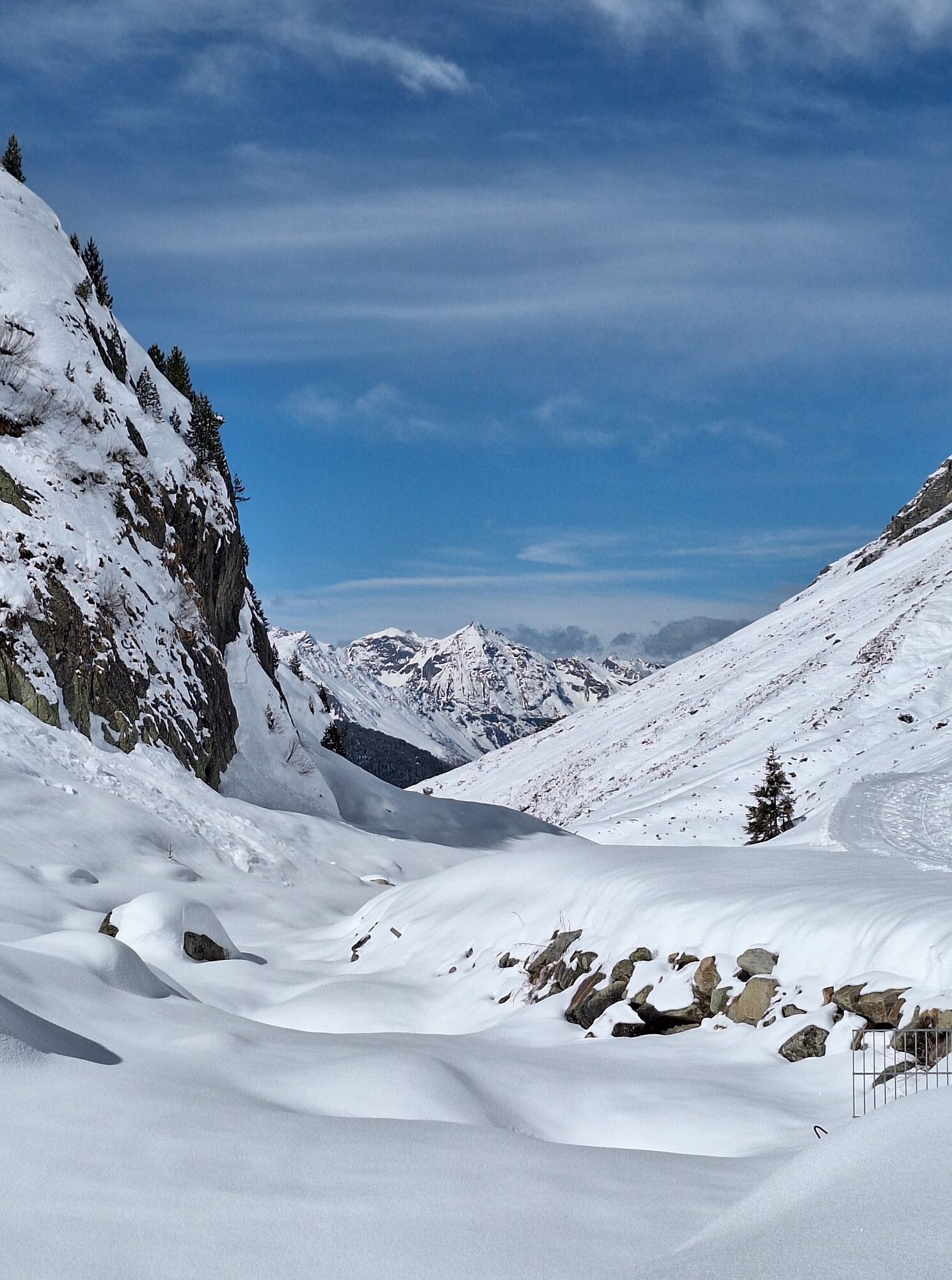

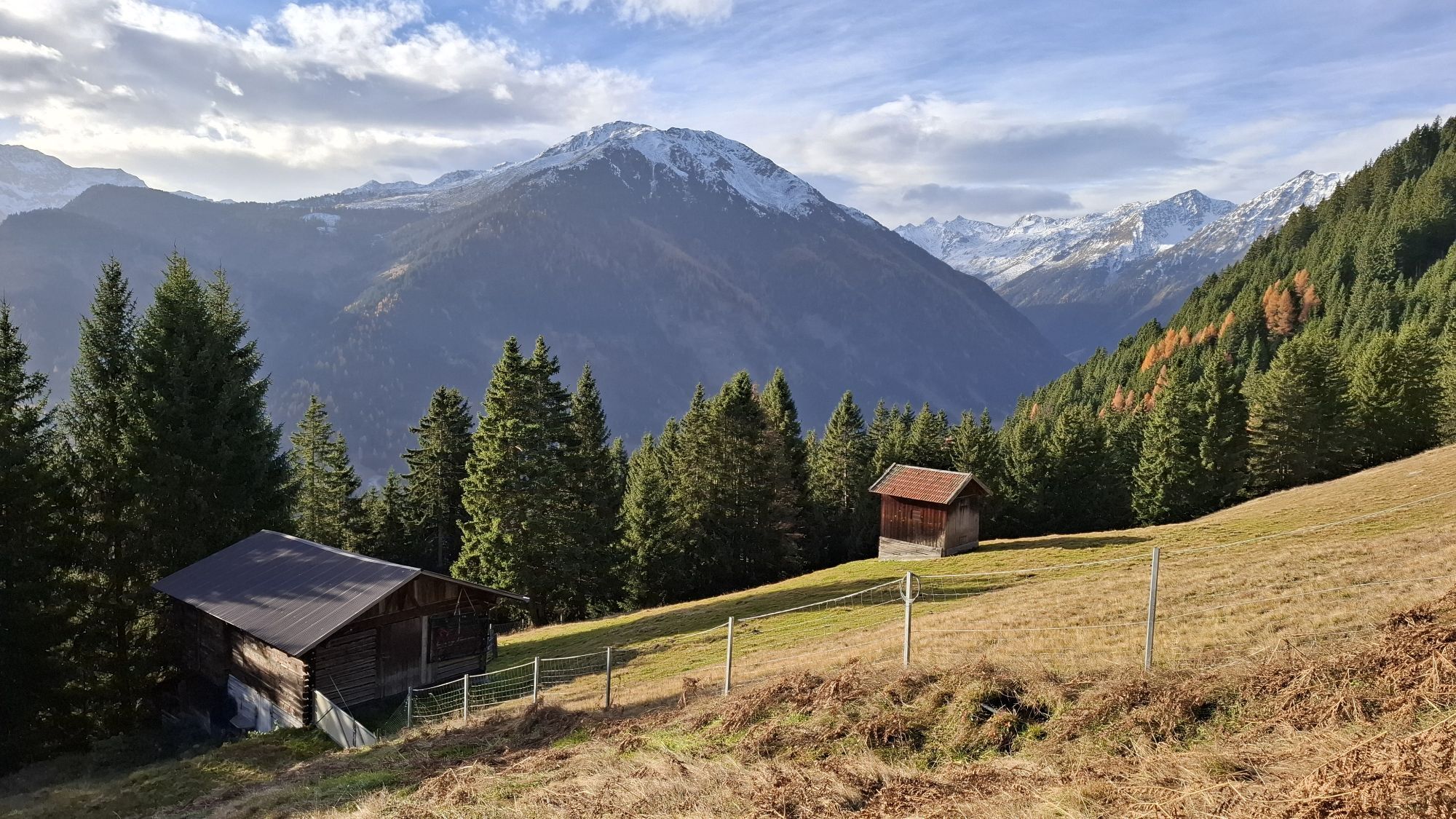


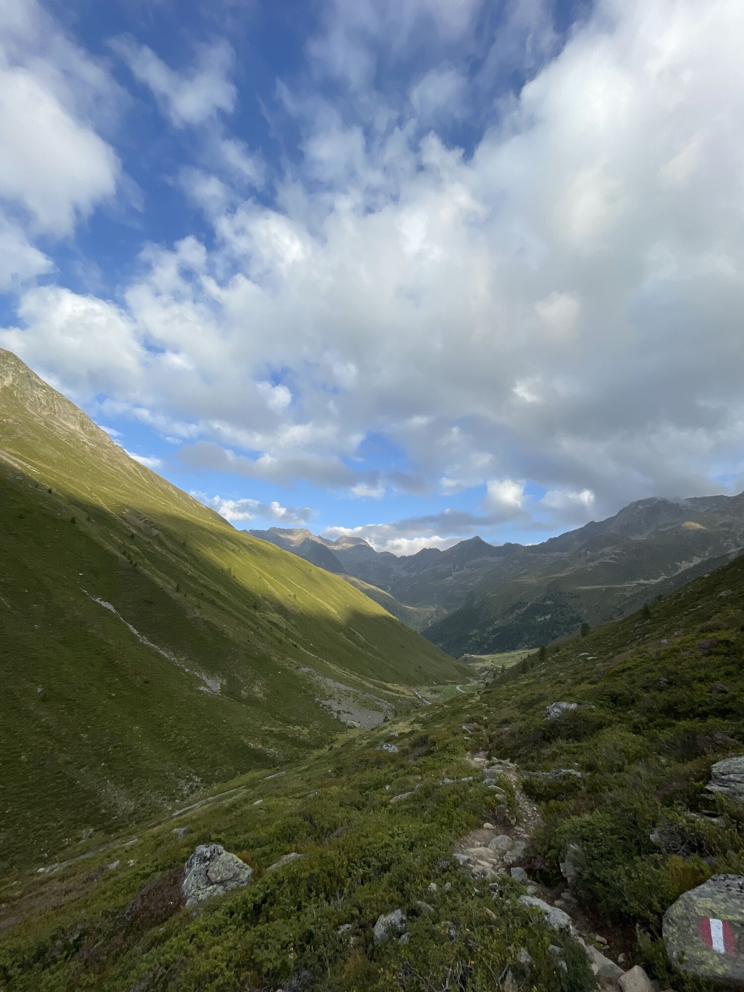


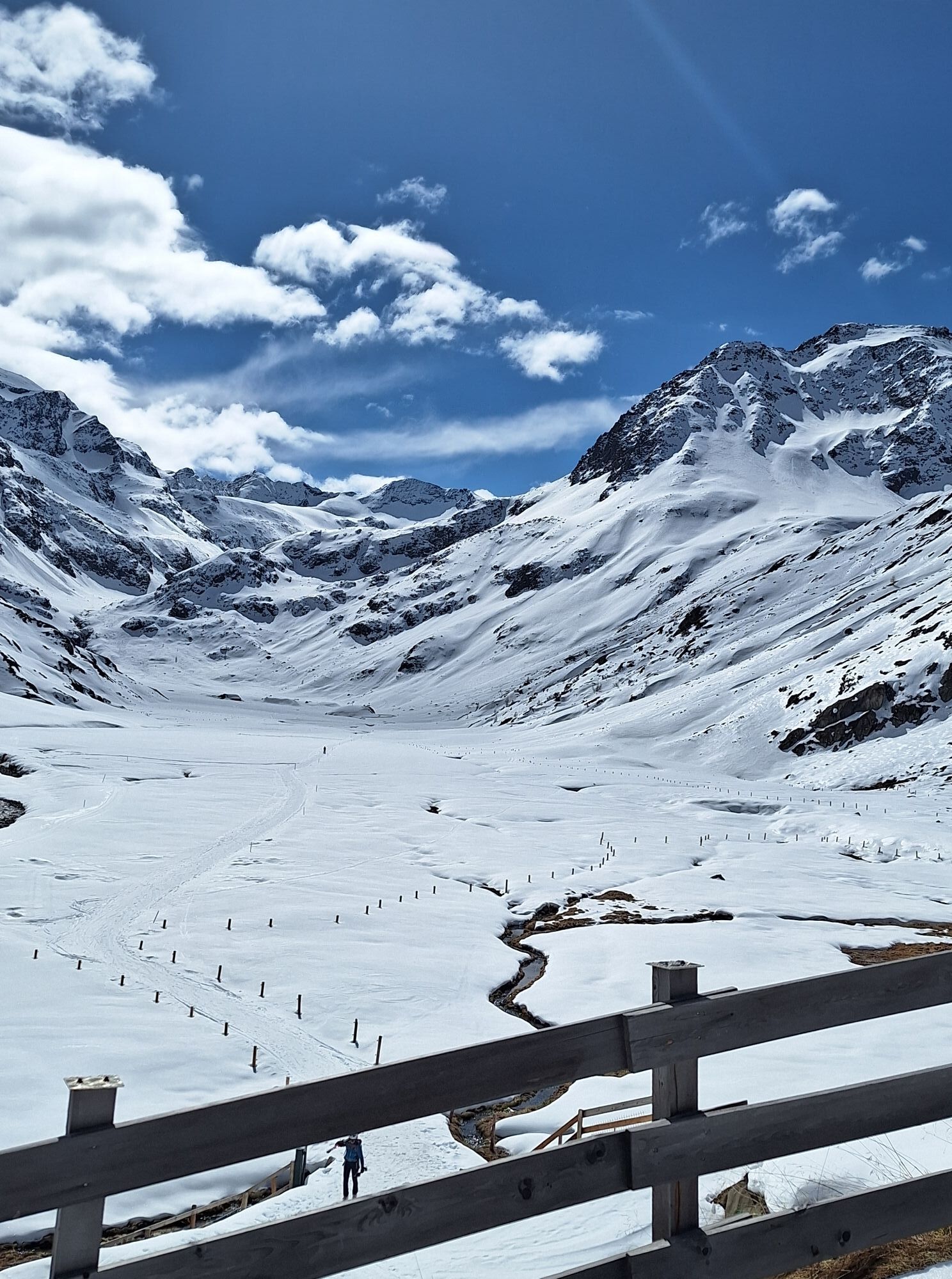

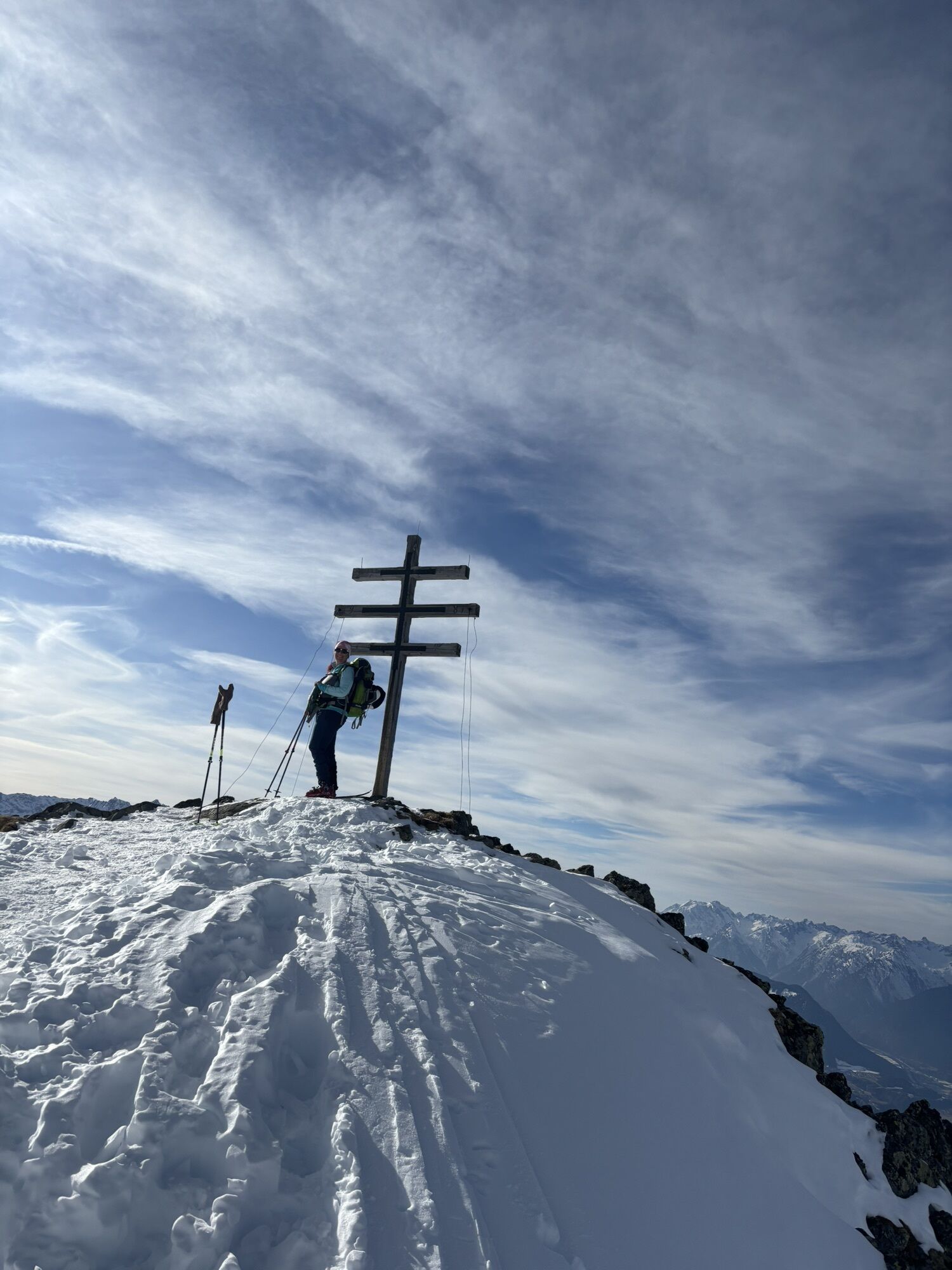


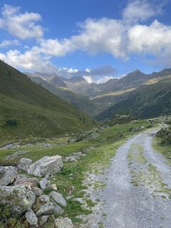
SHR High Alpine Route 2: The Sellrain Hut Circuit with Ötz and Inn Valley Loop.
For very experienced mountaineers with glacier crossings and scenic summit ascents. Sometimes small climbing is also involved....
SHR High Alpine Route 2: The Sellrain Hut Circuit with Ötz and Inn Valley Loop.
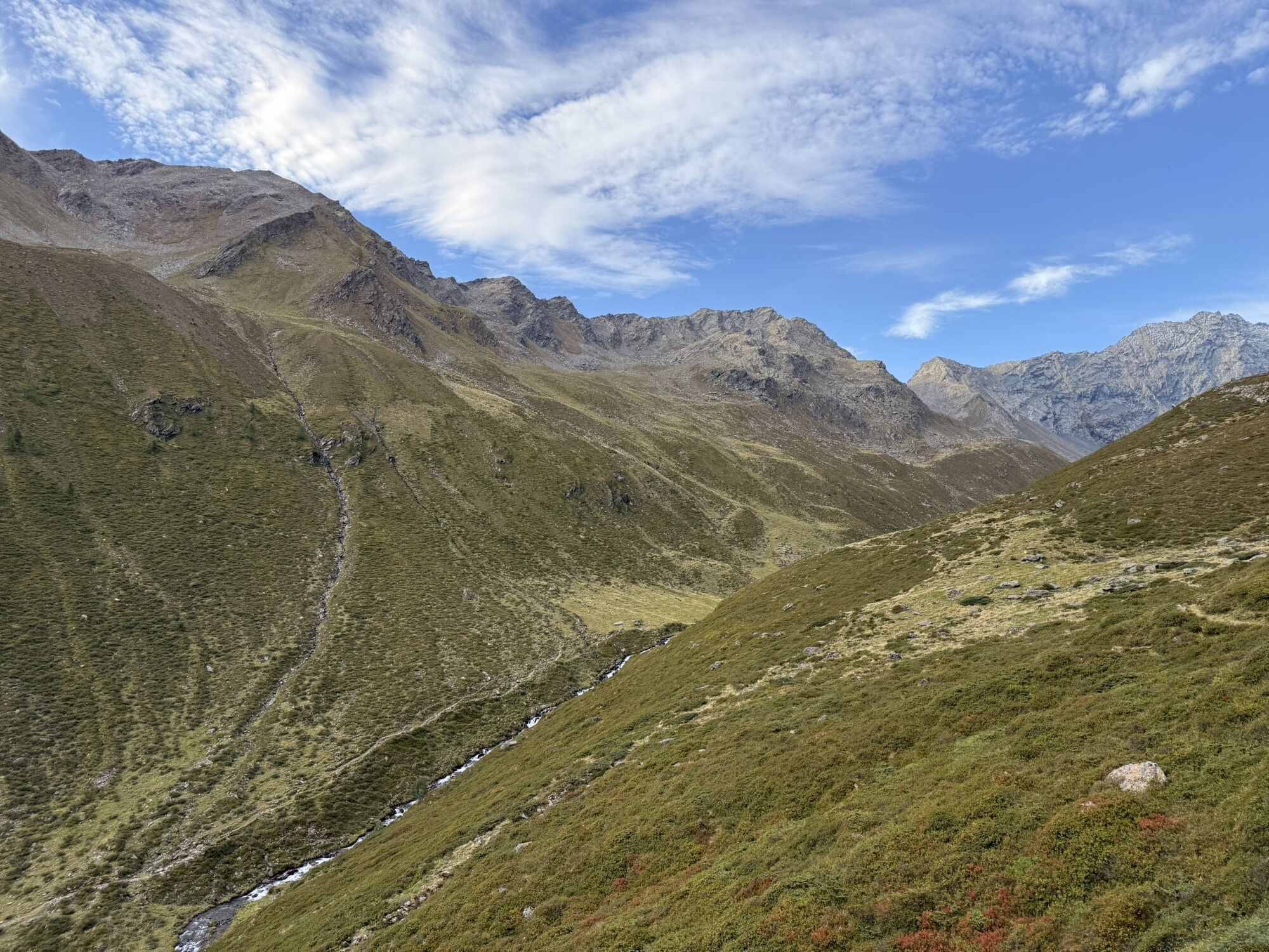
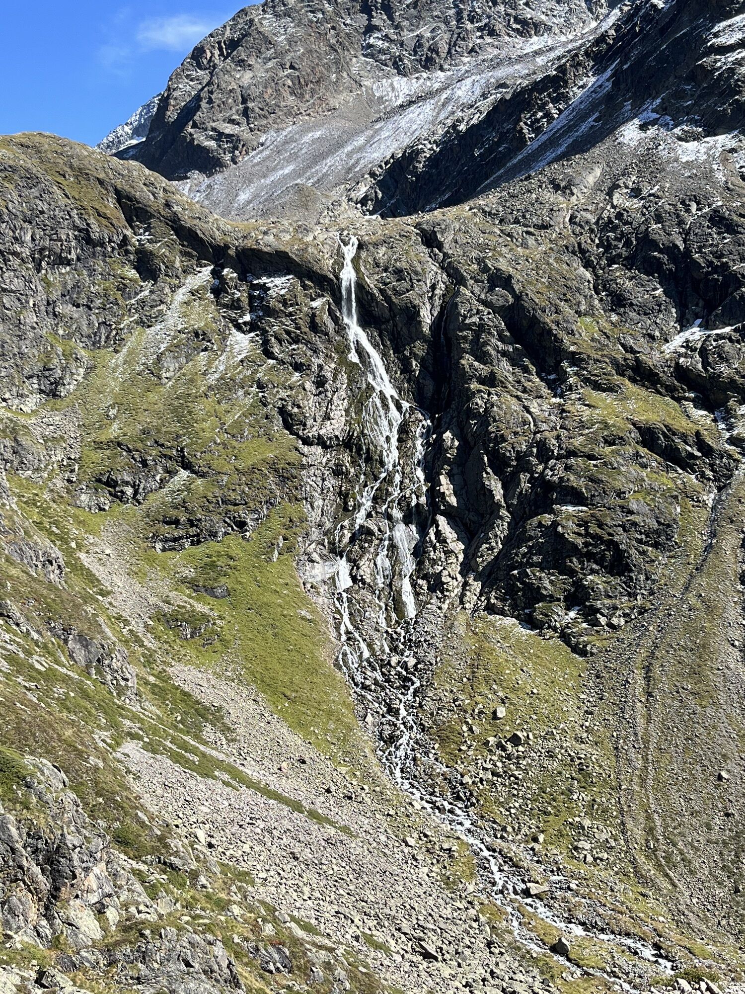
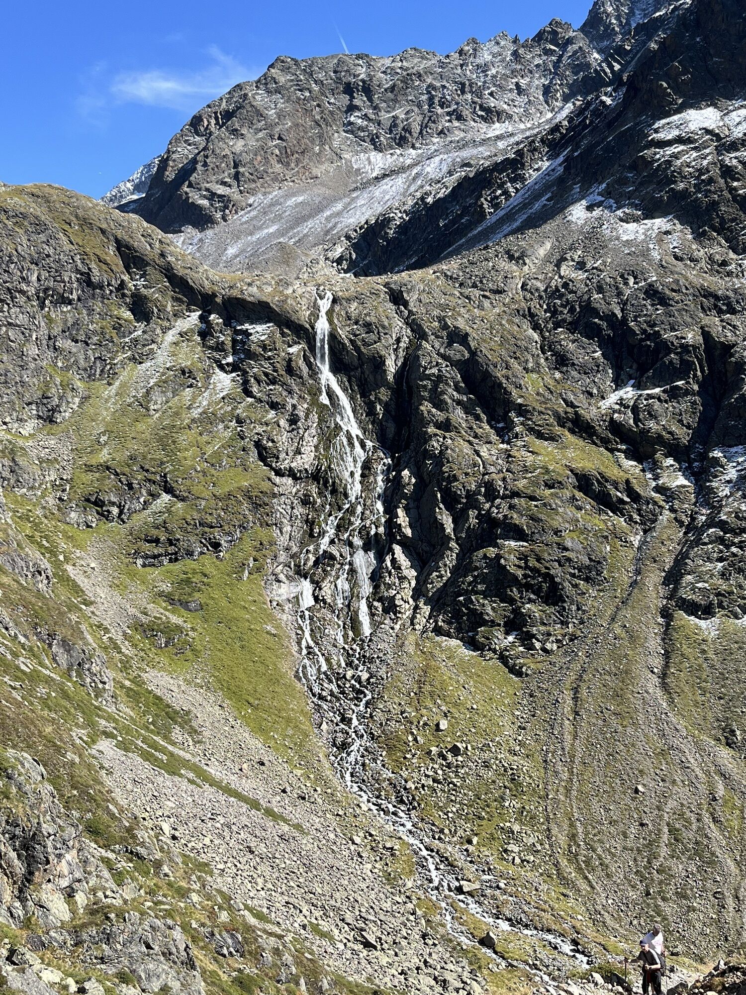
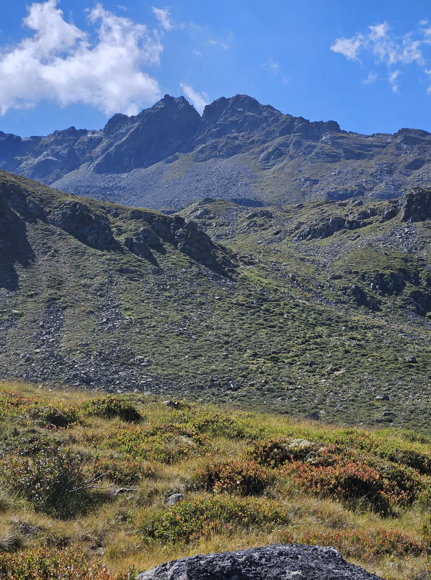
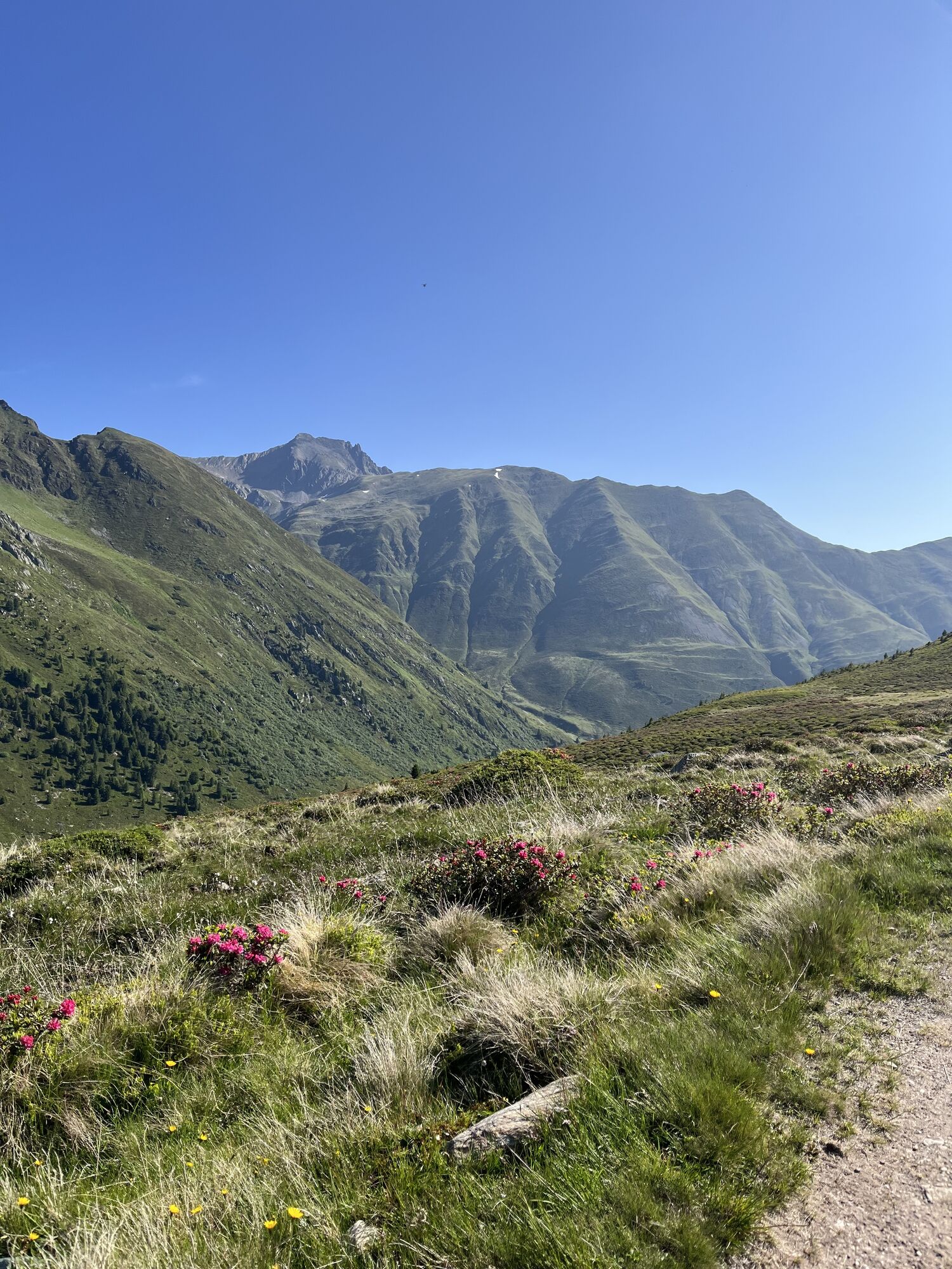
For very experienced mountaineers with glacier crossings and scenic summit ascents. Sometimes small climbing is also involved. The royal route in the Sellrain Mountains. Challenging high alpine route with many summit ascents. Circular route on high alpine trails with summit crossings from hut to hut between Sellrain, Ötz, and Inn Valley through the Sellrain Mountains, Stubai Alps. Experienced mountaineers will enjoy this physically demanding tour. In 8 stages on scenic paths and beautiful summits through the Sellrain Mountains and Stubai Alps. Through the Sellrain Valley, the Ötztal to the Inn Valley.

Stages:
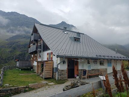
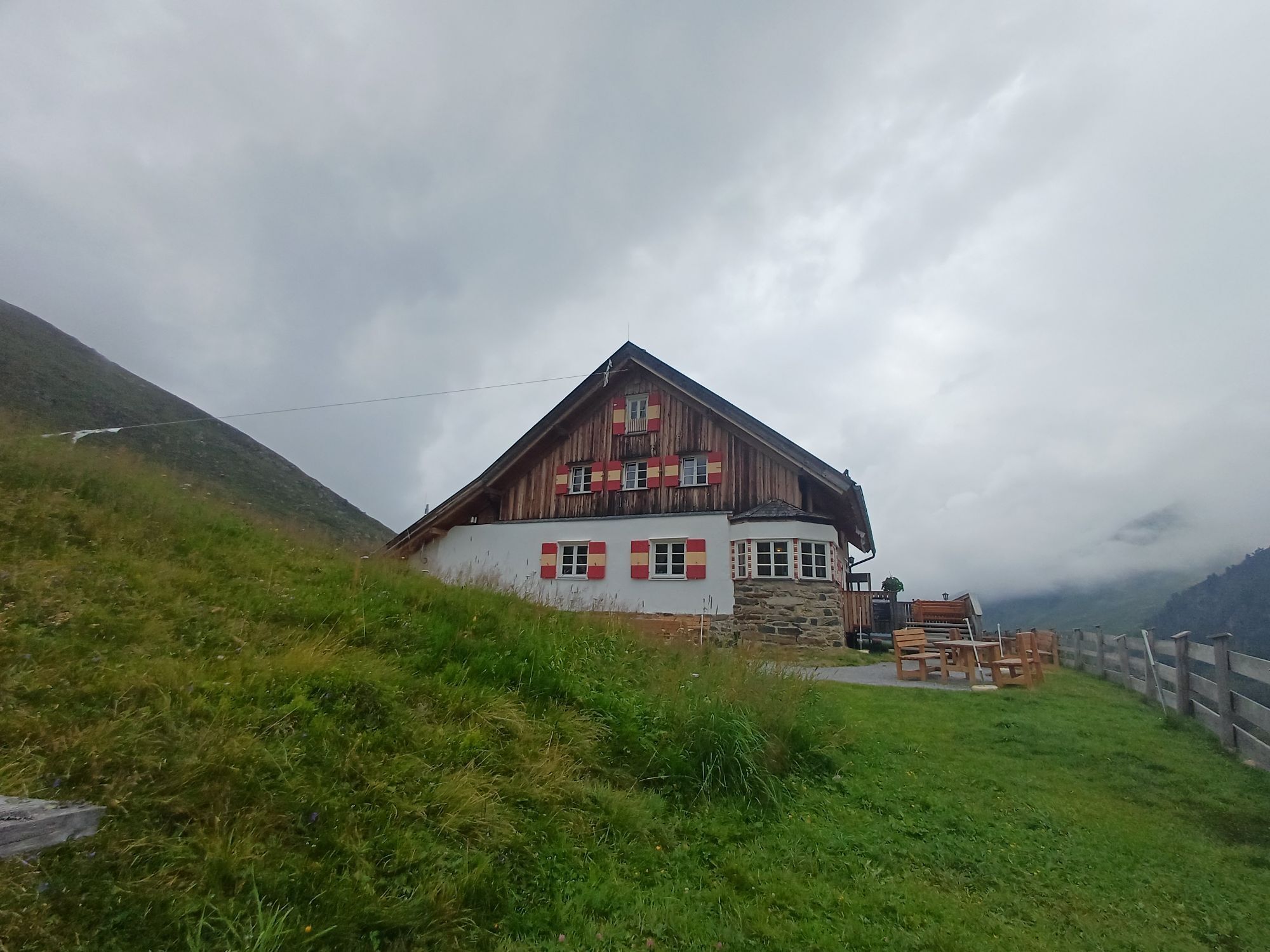
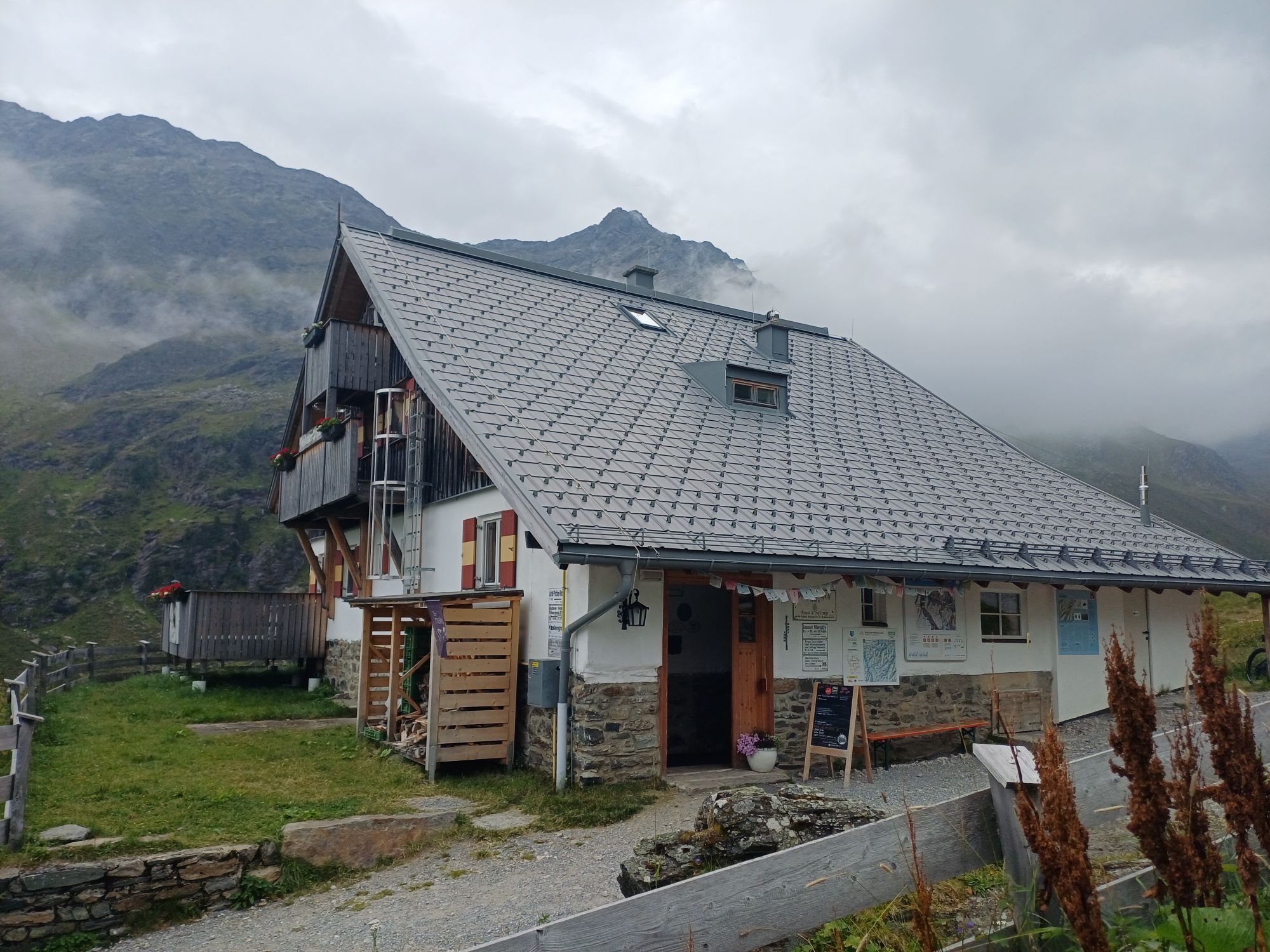
1st stage Sellrain – Potsdamer Hut. Beautiful panoramic trail on the ridge between Fotscher Valley and Sender Valley.
2nd stage Potsdamer Hut – Westfalenhaus. Challenging crossing over the Hochgrafljoch into the Längen Valley.
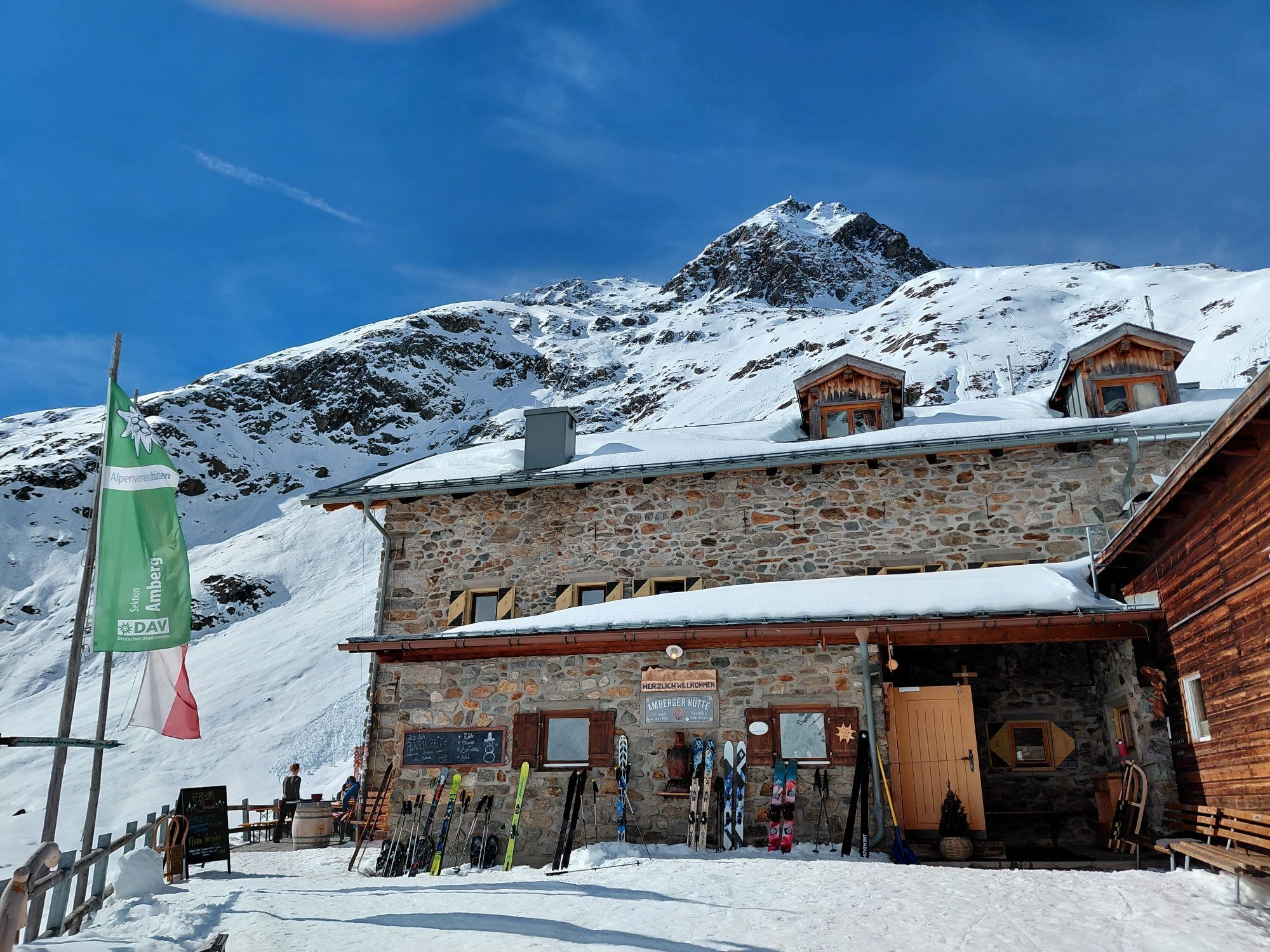
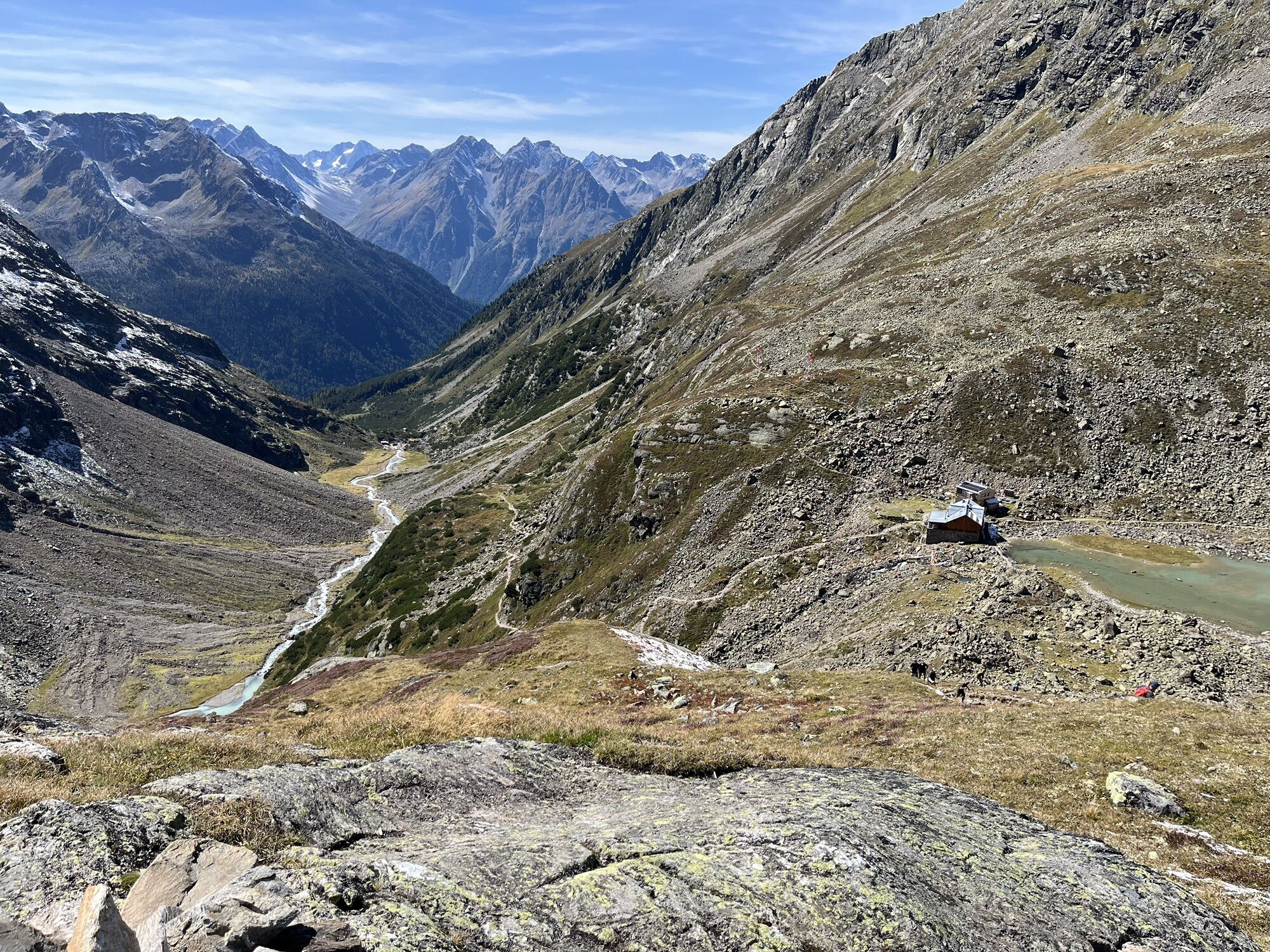
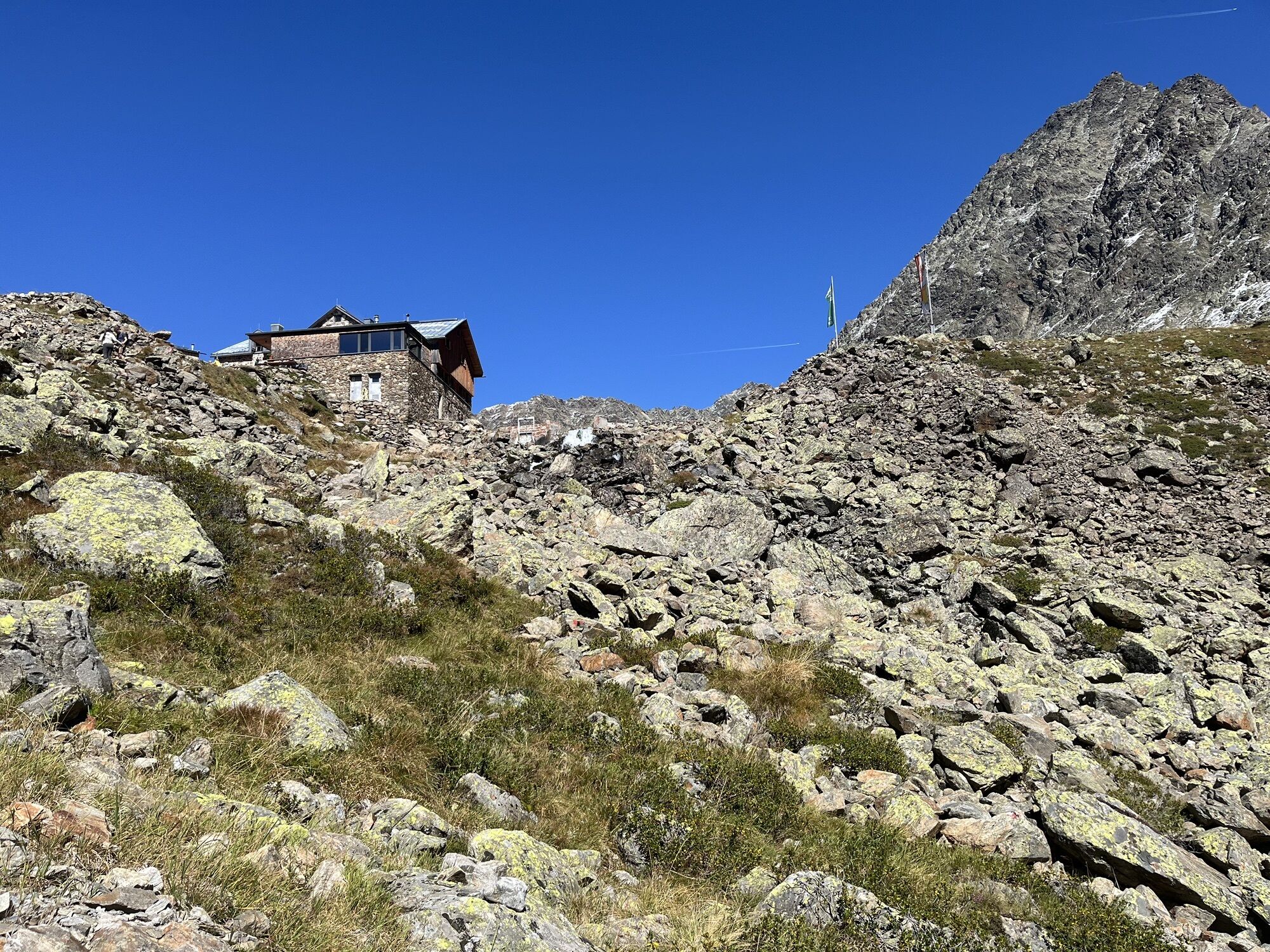
3rd stage Westfalenhaus - Amberger Hut. Over the Längen Valley glacier and through the Scharkar to the Amberger Hut.
4th stage Amberger Hut - Winnebachsee Hut. Over the Gaislehnscharte and over the Bachfallen glacier to the Winnebachsee Hut.
5th stage Winnebachsee Hut - Schweinfurter Hut. From Gänskragen to the Schweinfurter Hut.
6th stage Schweinfurter Hut - Bielefelder Hut. On a challenging path with climbing sections over the Ötztal to the Bielefelder Hut.
7th stage Bielefelder Hut – Dortmunder Hut. The mountain peaks between Ötztal and Kühtai.
8th stage Dortmunder Hut - Sellrain. On scenic paths along the Sellrain Valley with summit joy on the Rosskogel.
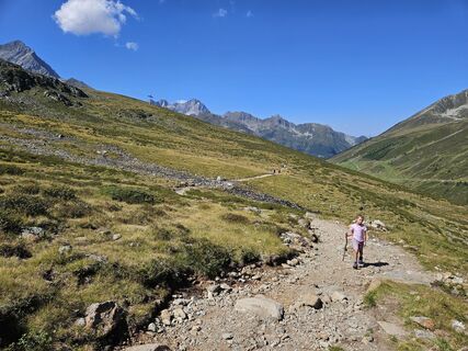
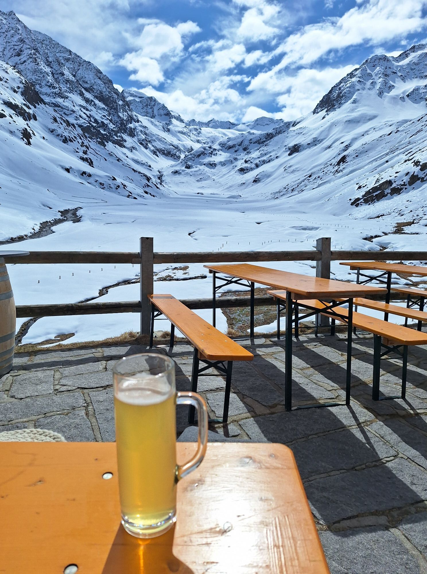
Wearing hiking gear such as breathable and weather-appropriate outdoor clothing, ankle-high hiking boots, wind, rain, and sun protection, a hat, and possibly gloves is recommended! It is also important to bring sufficient provisions as well as a first aid kit, a mobile phone, and possibly a hiking map.
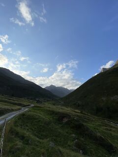
Gries is located in the west of Austria in the state of TIROL, in a southern side valley of the Inn valley - the ÖTZTAL. For your trip by car, plan the optimal route from your home location online using the route planner: https://www.google.at/maps
Travel comfortably and safely by train to the Ötztal train station. The final stop or exit point is the ÖTZTAL station. Afterwards, you can conveniently and quickly travel through the entire valley to your desired destination by public transport or local taxi companies! The current bus timetable is available at: http://fahrplan.vvt.at
Gries at the end of the town – toll required
Kamery internetowe z trasy
-
Hoadl-Haus
-
Kühtai - Mittergrathütte
-
Hochoetz
-
Mitterjoch
-
Wetterkreuzbahn Talstation
-
Skilift Gries im Ötztal
-
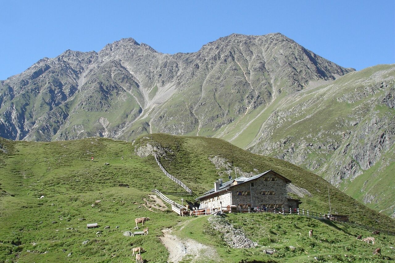
Amberger Hütte
-
Widiversum Hochoetz
-
Mitterjoch
-
Mitterjoch
-
Mitterjoch
-
Oberperfuss - Mittelstation
-
Kühtai - Wiesbergbahn
-
Kühtai - Kaiserbahn
-
Gries - Längenfeld
-
Balbach Wiesenlift
-
Umhausen - Vivea Gesundheitshotel
-
Piburger See
-
Piburger See
-
Neustift im Stubaital - Oberissalm
-
Mitterjoch
-
Mitterjoch
-
Umhausen - der Veitenhof
-
Bockkogel
-
Wannenkogel
-
Sulzkogel
-
Kalkkögel Blick
-
Hoher Burgstall
-
Axamer Lizum - Hoadl
-
Hoadl-Haus
-
Kids Park/Schwimmbad
-
Kids Park/Schwimmbad
-
Kids Park/Schwimmbad
-
Kids Park/Schwimmbad
-
Kids Park/Schwimmbad
-
Sellraintal / St. Sigmund
-
Sellraintal / Lüsener Ferner - St. Sigmund im Sellrain
-
Sellrain / Gries
-
Sellraintal / Lüsens
-
Rangger Köpfl / Oberperfuss
Popularne wycieczki w okolicy
-
4,5
Winnebachsee Hut – Längenfeld/Gries
średniWędrówka 4,74 km -
4,2
Hike Stuibenfall - Umhausen
światłoWędrówka 2,95 km -
4,4
Stuibenfall Umhausen circular hike
światłoWędrówka 9,32 km -
4,3
Lampsenspitze, Sellrain, Tirol
średniWycieczka narciarska 4,97 km -
4,3
Amberger Hut - Längenfeld/Gries
średniWędrówka 5,60 km -
4,6
Summit route Faltegartenköpfl
średniWędrówka 4,04 km -
4,4
Rundwanderung Hängebrück3
światłoWędrówka 6,32 km -
5,0
Larstigalm - Niederthai
światłoWędrówka 3,24 km -
4,8
Faltegartenköpfl (01)
światłoWycieczka narciarska 4,19 km -
4,6
Winter circular route Brandalm/Burgstein - Längenfeld 204
średniWędrówka zimą 5,44 km

Wędrówki i tropienie


Nie przegap ofert i inspiracji na następne wakacje
Twój adres e-mail została dodana do listy mailingowej.