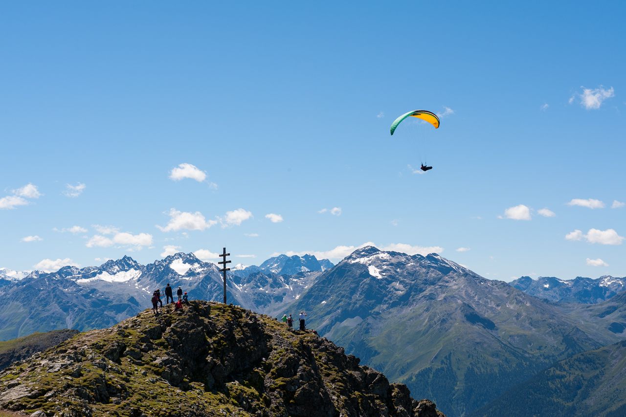
Mittertal - Wetterkreuz
średni
Nawigacja
Nawigacja
Pobierz tę trasę na swój telefon komórkowy
Mittertal - Wetterkreuz
średni
Wędrówka
13,44
km
Zeskanuj kod QR i rozpocznij nawigację w aplikacji bergfex.

Wędrówki i tropienie


Mittertal - Wetterkreuz
średni
Odległość
13,44
km
Czas trwania
06:30
h
Ascent
890
hm
Poziom morza
1 903 -
2 630
m
Ścieżka do pobrania
Mittertal - Wetterkreuz
średni
Wędrówka
13,44
km
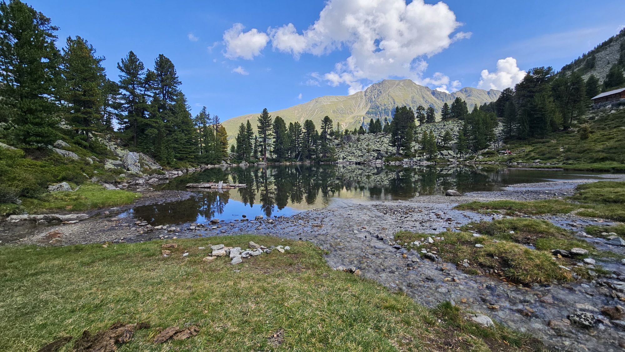
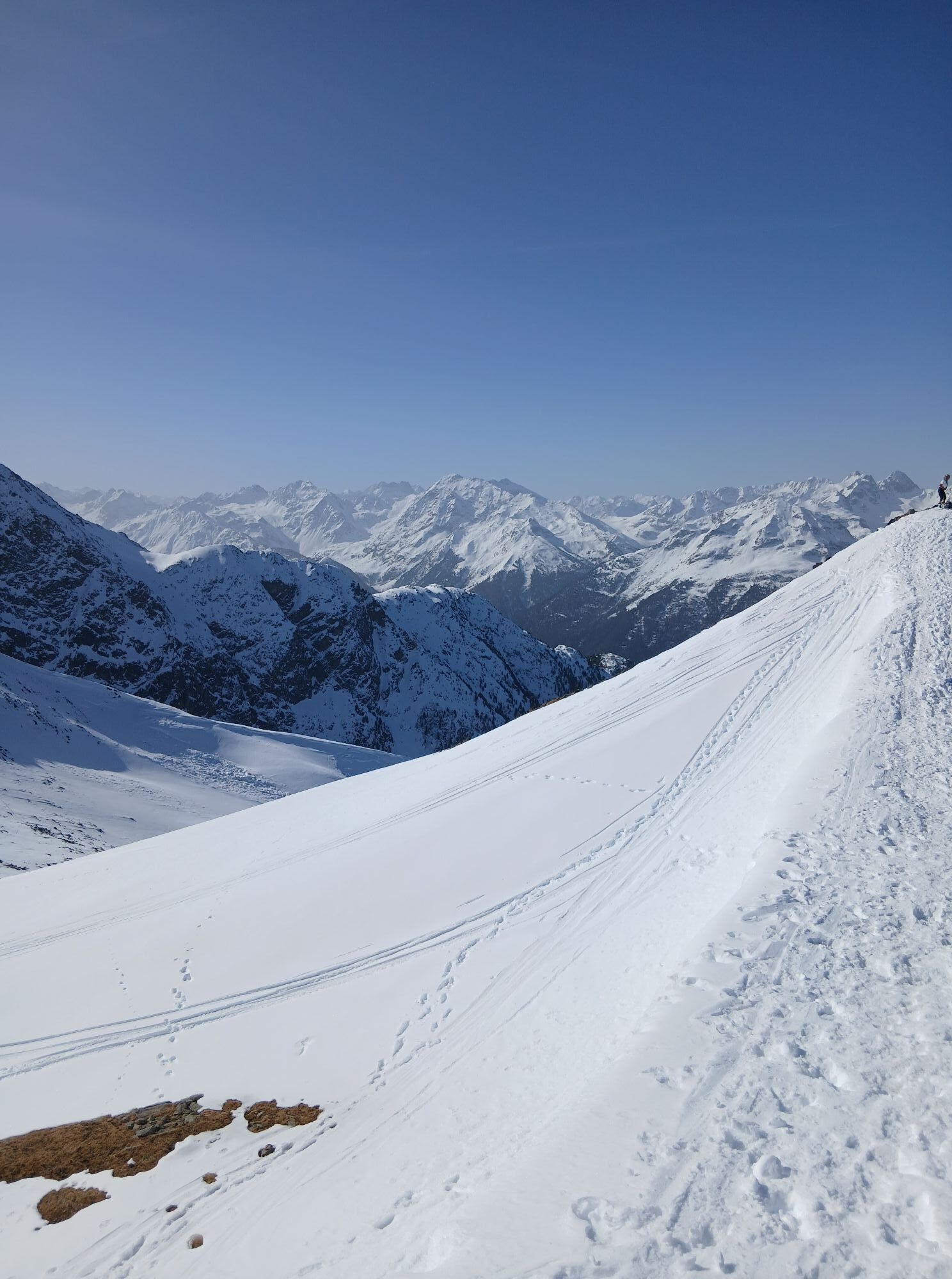
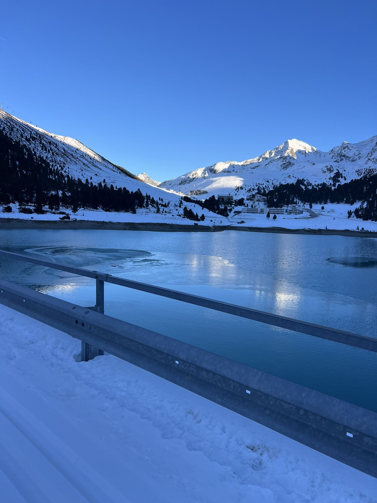
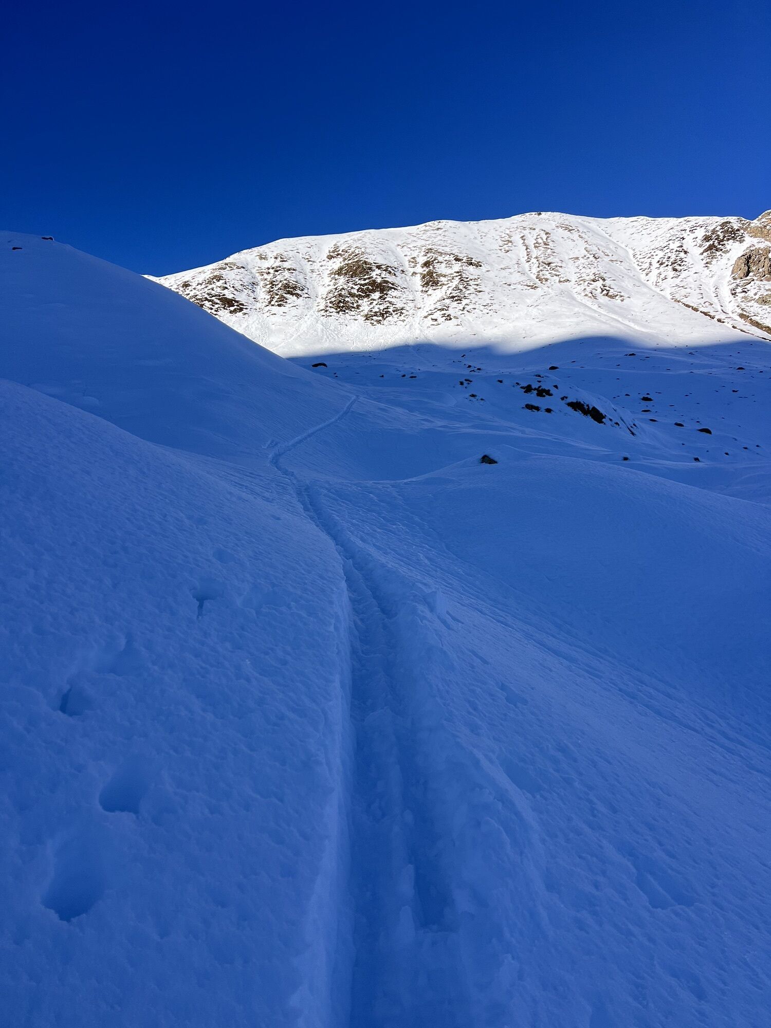
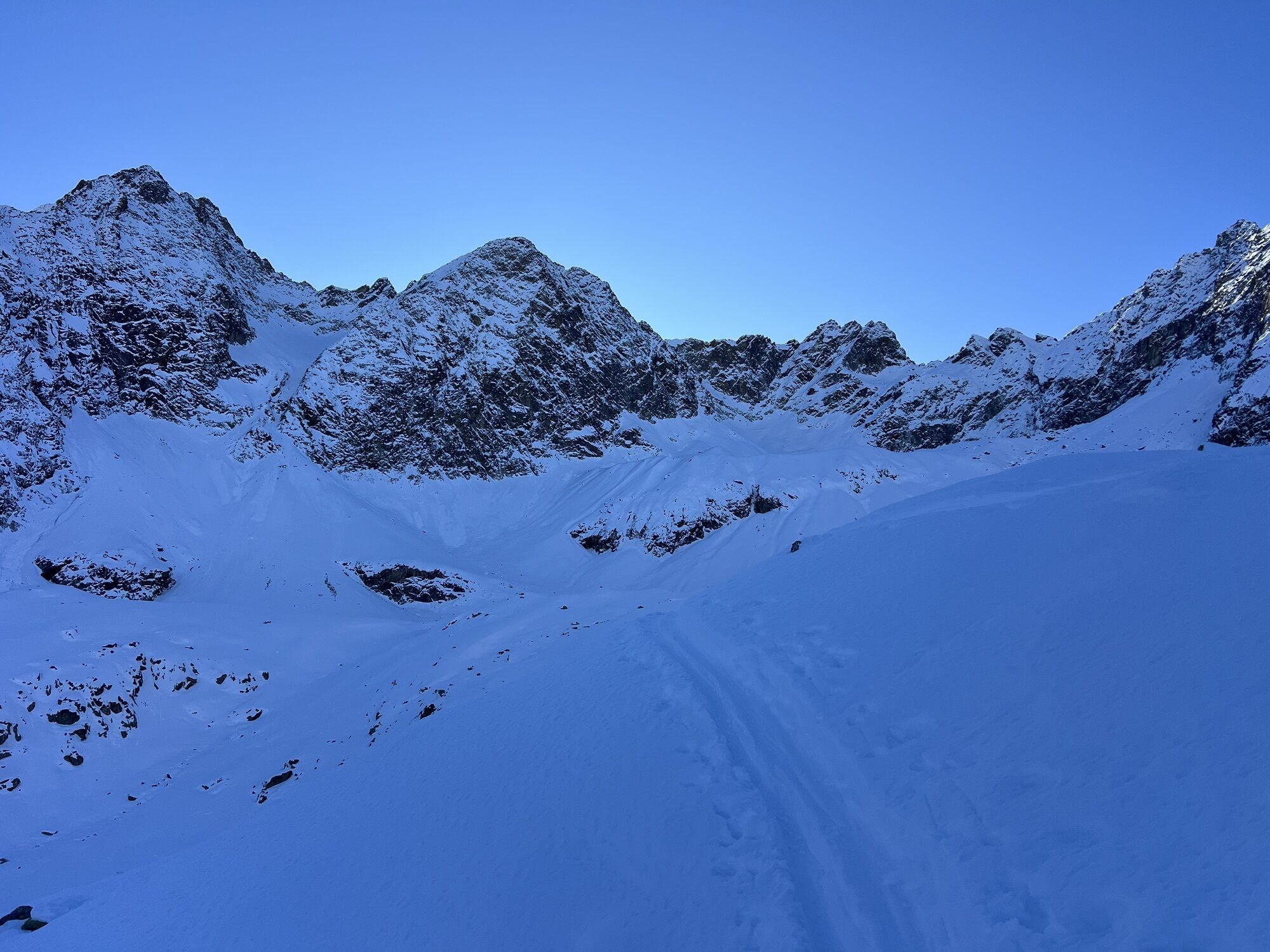
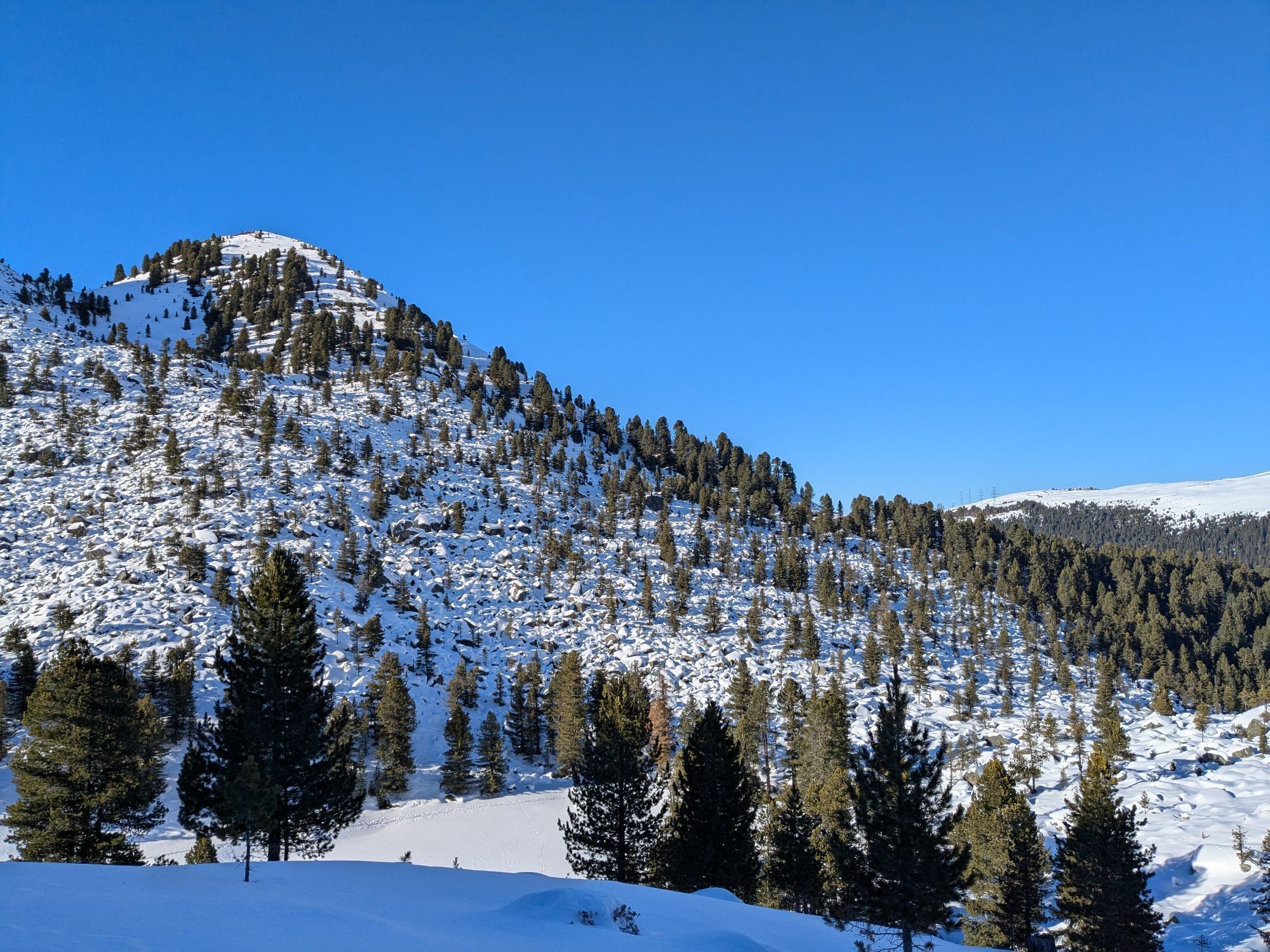
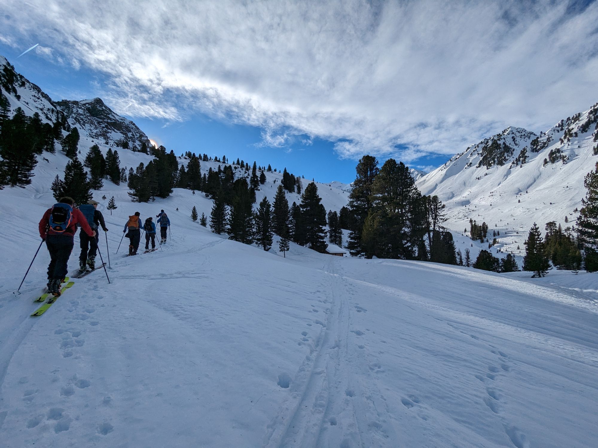
Zdjęcia naszych użytkowników
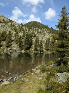
 © Martin GlaserUtworzono dnia 15.08.2025
 © Martin GlaserUtworzono dnia 15.08.2025
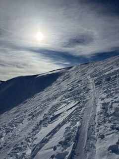
 © Manfred NeunerUtworzono dnia 07.02.2025
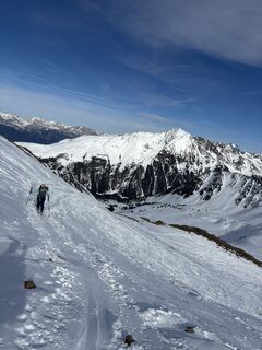 © Manfred NeunerUtworzono dnia 07.02.2025
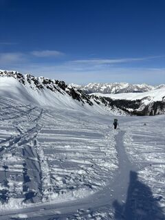 © Manfred NeunerUtworzono dnia 07.02.2025
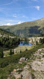 © Martin GlaserUtworzono dnia 26.07.2024
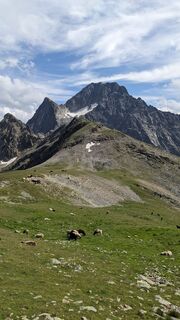 © Martin GlaserUtworzono dnia 26.07.2024
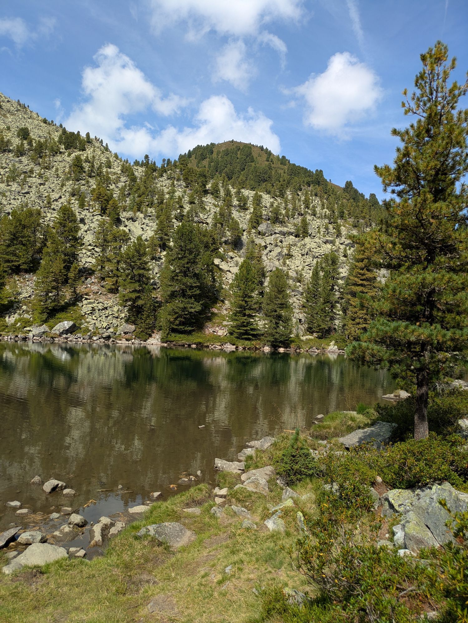
 © Neelia _Utworzono dnia 02.09.2024
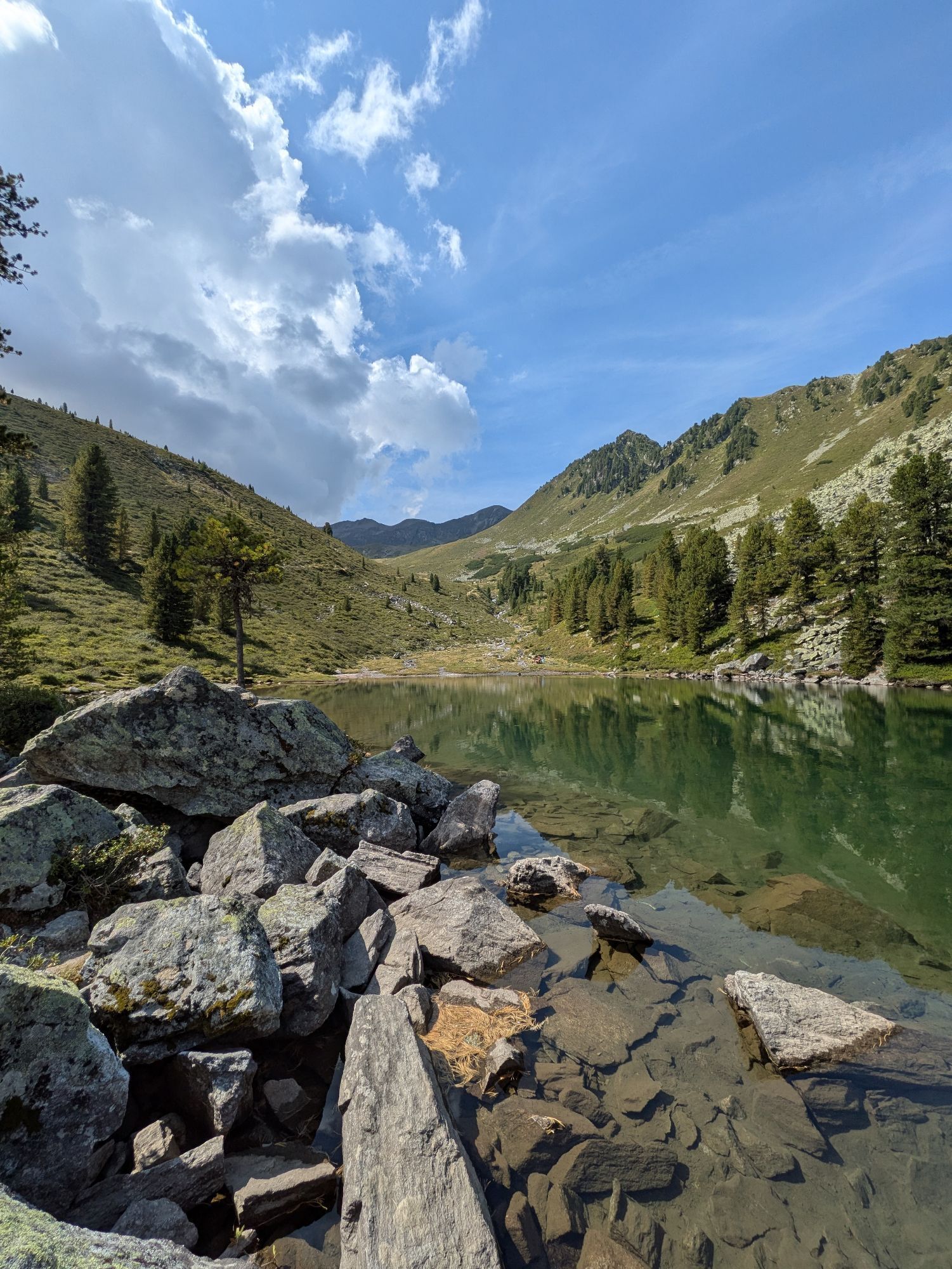
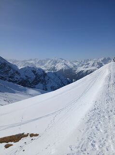 © HacklerichUtworzono dnia 08.03.2026
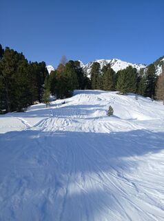 © HacklerichUtworzono dnia 08.03.2026
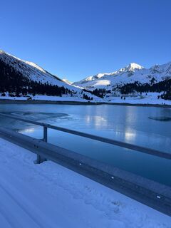
 © HeikoalaUtworzono dnia 14.12.2025
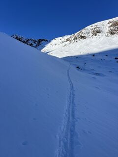 © HeikoalaUtworzono dnia 14.12.2025
 © HeikoalaUtworzono dnia 14.12.2025
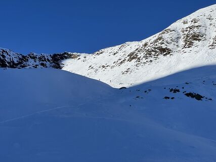 © HeikoalaUtworzono dnia 14.12.2025
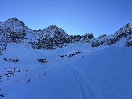 © HeikoalaUtworzono dnia 14.12.2025
 © Andreas SchnurUtworzono dnia 18.01.2025
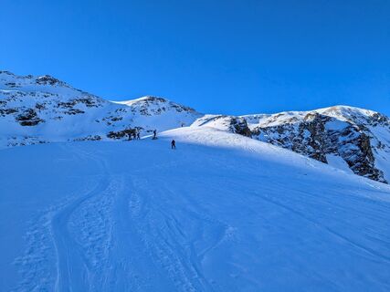 © Andreas SchnurUtworzono dnia 18.01.2025
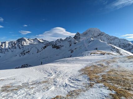 © Andreas SchnurUtworzono dnia 25.12.2023
 © Andreas SchnurUtworzono dnia 25.12.2023
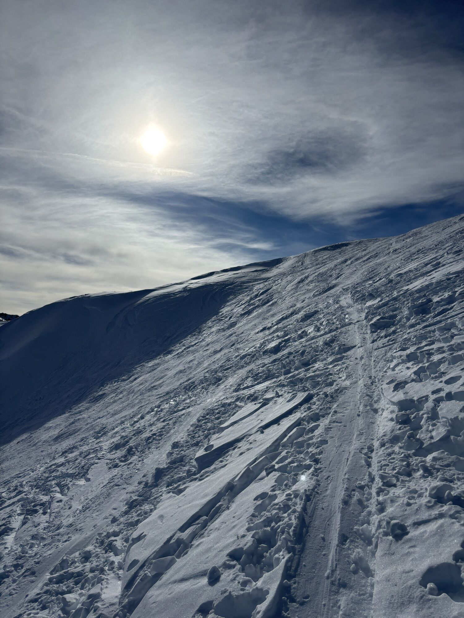

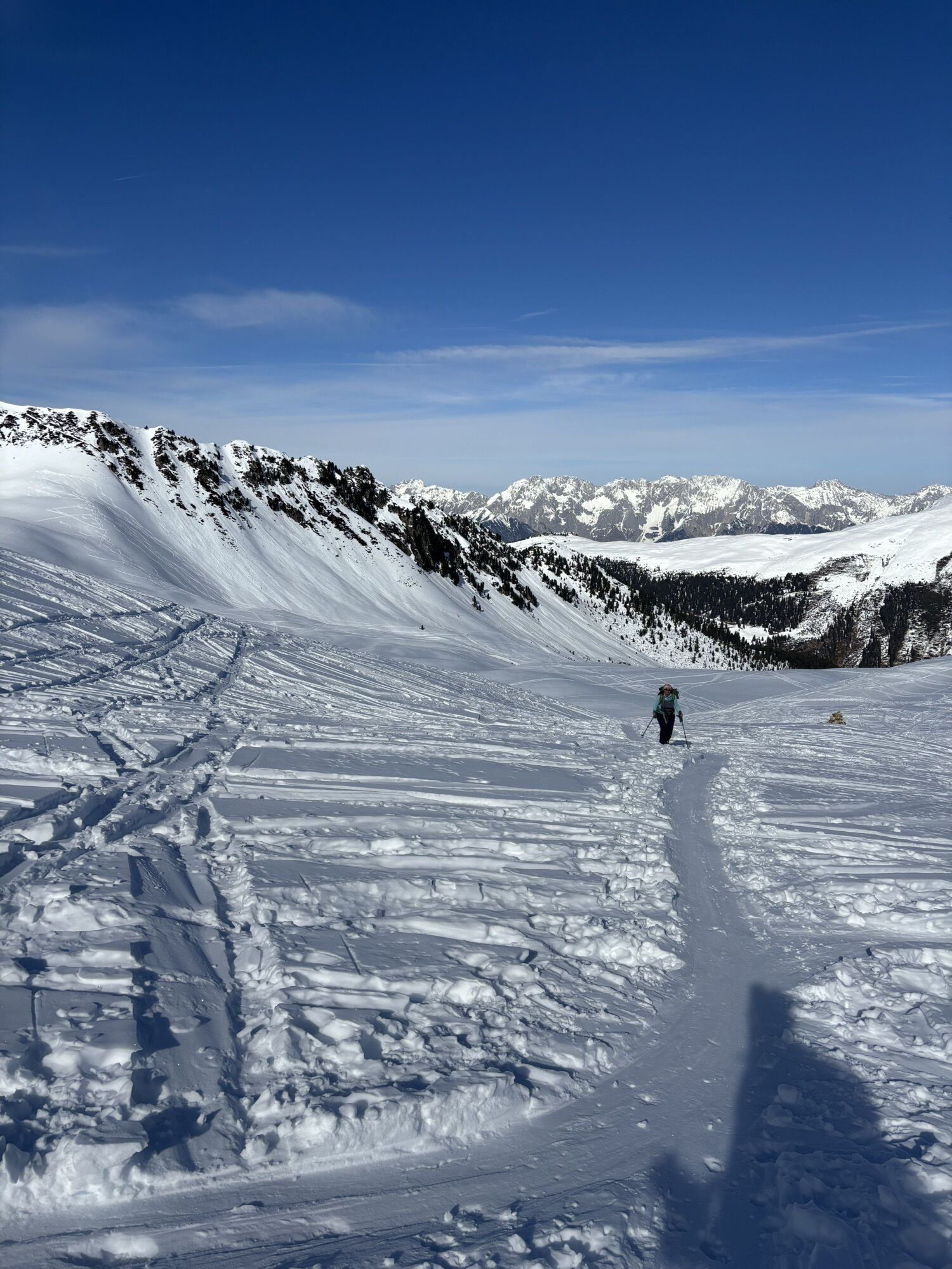
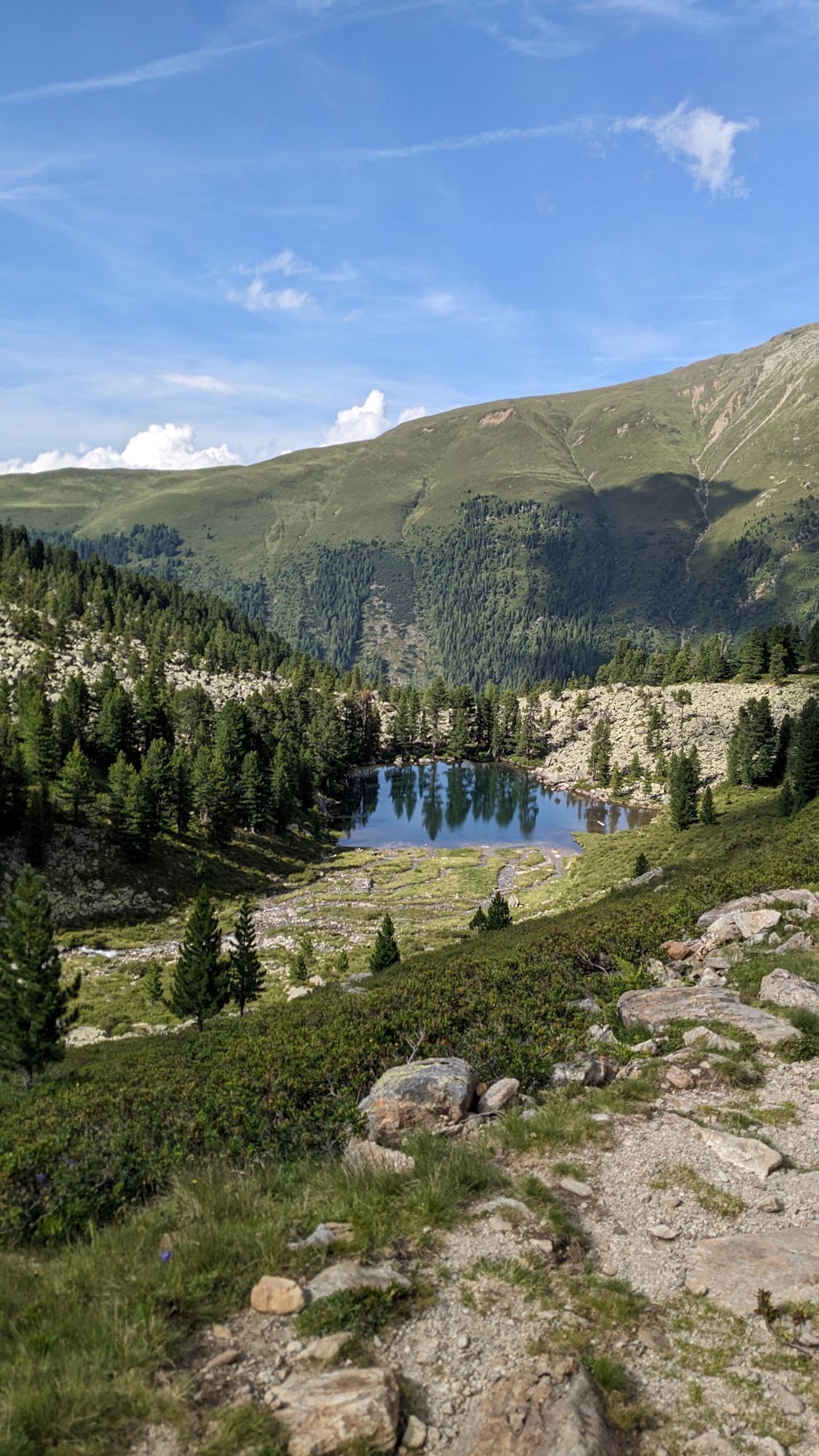
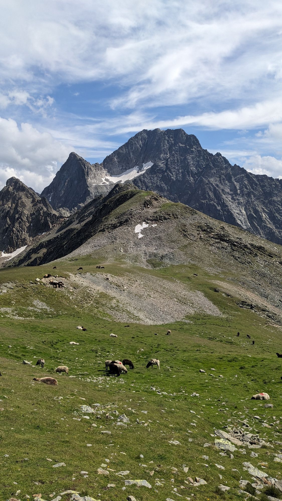


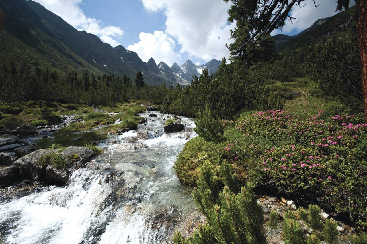
Start at the water reservoir of Kühtai, continue through Mittertal valley towards Mittertaler Scharte ridge to Wetterkreuz. Return through Wörgetal valley to Obere Issalm, then to Mittergrathütte and back...
Opis
Start at the water reservoir of Kühtai, continue through Mittertal valley towards Mittertaler Scharte ridge to Wetterkreuz. Return through Wörgetal valley to Obere Issalm, then to Mittergrathütte and back to the starting point.
Trasa
Kapelle
(1 957 m)
Miejsce kultu
11,5 km
Große Mittergrathütte
(1 951 m)
Refuge (niezarządzany)
11,6 km
Kleine Mittergrathütte
(1 946 m)
Refuge (niezarządzany)
11,6 km
Hemerwaldalm
(1 943 m)
Refuge (niezarządzany)
11,6 km
Trasa
Mittertal - Wetterkreuz
średni
Wędrówka
13,44
km

Informacje o trasie
Trasa
Start at the water reservoir of Kühtai, continue through Mittertal valley towards Mittertaler Scharte ridge to Wetterkreuz. Return through Wörgetal valley to Obere Issalm, then to Mittergrathütte and back to the starting point.
Sprzęt
It is recommended to wear hiking equipment such as breathable and weather-adapted outdoor clothing, ankle-high mountain boots, wind, rain and sun protection, cap and possibly gloves. It is also important to have enough food, as well as a first-aid package, a cell phone and a hiking map.
Informacje o przyjeździe
Przybycie
Kühtai is located in the western part of Austria. It is reachable from the Inntal and the Ötztal. For your arrival by car, you can plan the best route from your home town with the route planner online at https://www.google.at/maps
Transport publiczny
Reisen Sie mit der Bahn komfortabel und sicher zur Bahnhof-Station Ötztal. Endstation bzw. Ausstiegspunkt ist der Bahnhof ÖTZTAL. Anschließend fahren Sie bequem und schnell mit dem öffentlichen Linienverkehr oder den örtlichen Taxiunternehmen durch das gesamte Tal zu Ihrem Wunschziel! Den aktuellen Busfahrplan gibt’s unter: http://fahrplan.vvt.at
Parking
Kühtai Hochalterbahn
Wyceny
5
(2)
4
(0)
3
(0)
2
(0)
1
(0)
Popularne wycieczki w okolicy
- 4,4
Stuibenfall Umhausen circular hike
światłoWędrówka 9,32 km - 4,2
Hike Stuibenfall - Umhausen
światłoWędrówka 2,95 km - 4,3
Lampsenspitze, Sellrain, Tirol
średniWycieczka narciarska 4,97 km - 4,5
Oetz - Piburger See - Oetz
średniWędrówka 7,16 km - 4,4
Hundstalsee
średniWędrówka 7,35 km - 4,6
Summit route Faltegartenköpfl
średniWędrówka 4,04 km - 4,7
Circular hike Bergmahderweg - Niederthai
światłoWędrówka 7,60 km - 4,8
lake Piburger See
światłoWędrówka 2,75 km - 4,7
Umhausen - Stuibenfall - Umhausen
średniWędrówka 7,94 km - 5,0
Larstigalm - Niederthai
światłoWędrówka 3,24 km

Wędrówki i tropienie

Ponad 550.000 propozycji wycieczek, szczegółowe mapy i intuicyjny planer tras sprawiają, że aplikacja jest niezbędna dla wszystkich entuzjastów przyrody.

Nie przegap ofert i inspiracji na następne wakacje
Zapisz się do newslettera
Błąd
Wystąpił błąd. Spróbuj ponownie.Dziękujemy za rejestrację
Twój adres e-mail została dodana do listy mailingowej.
Wycieczki po całej Europie
Austria Szwajcaria Niemcy Włochy Słowenię Francja Holandia Belgia Polska Liechtenstein Czechy Słowacja Hiszpania Chorwacja Bośnia i Hercegowina Luksemburg Andorra Portugalia Islandia Wielka Brytania Irlandia Grecja Albania Macedonia Północna Malta Norwegia Czarnogóra Mołdawia Kosowo Węgry San Marino Rumunia Estonia Łotwa Białoruś Cypr Litwa Serbia Bułgaria Monako Dania Szwecja Finlandia