


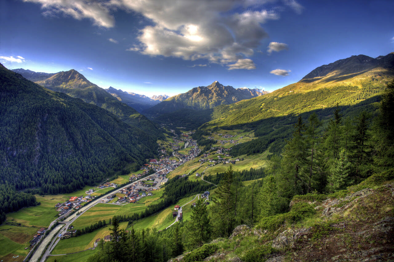
Hut Tour Windachtal - Sölden
Zdjęcia naszych użytkowników
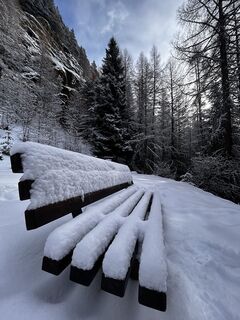
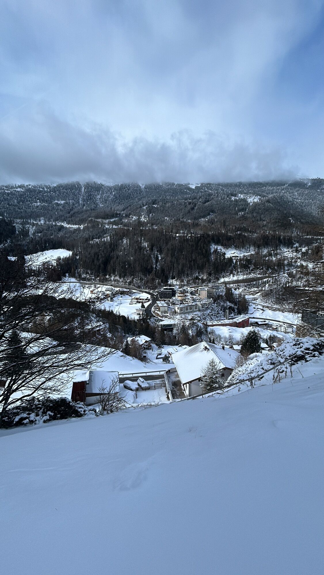
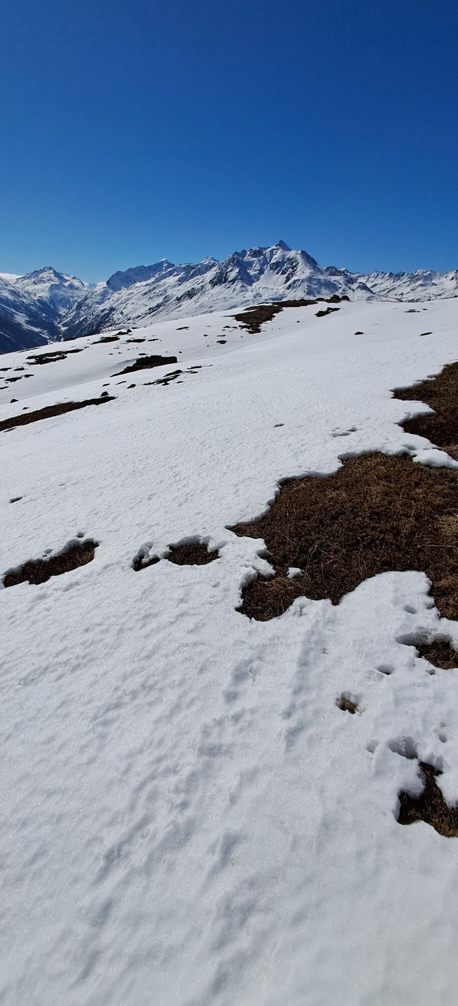
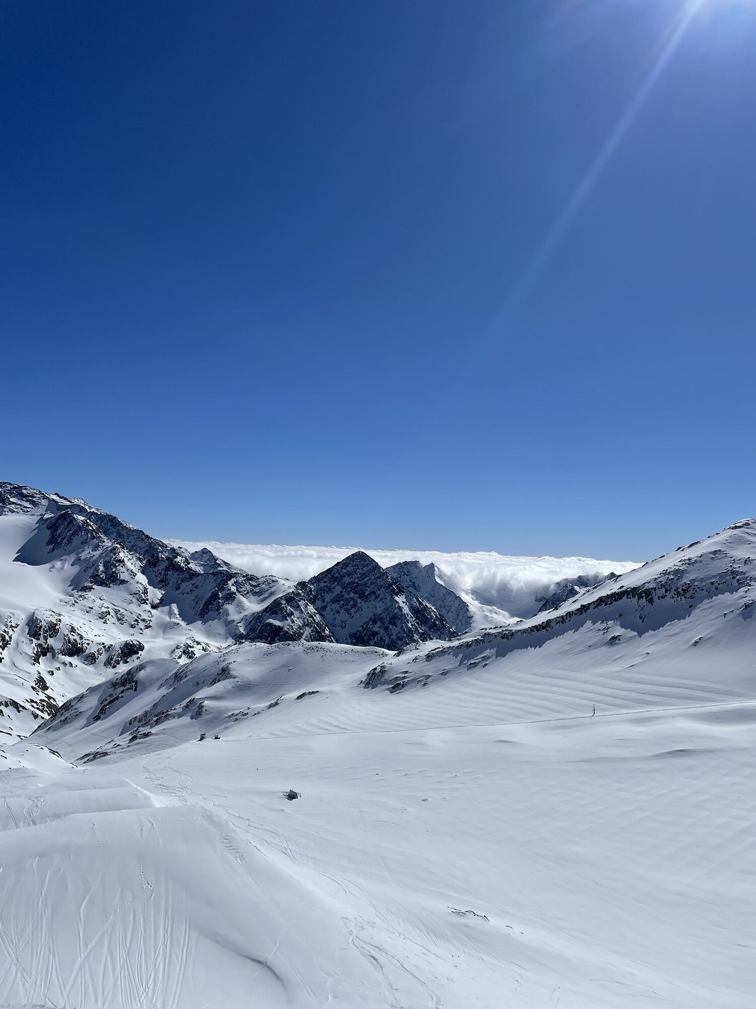
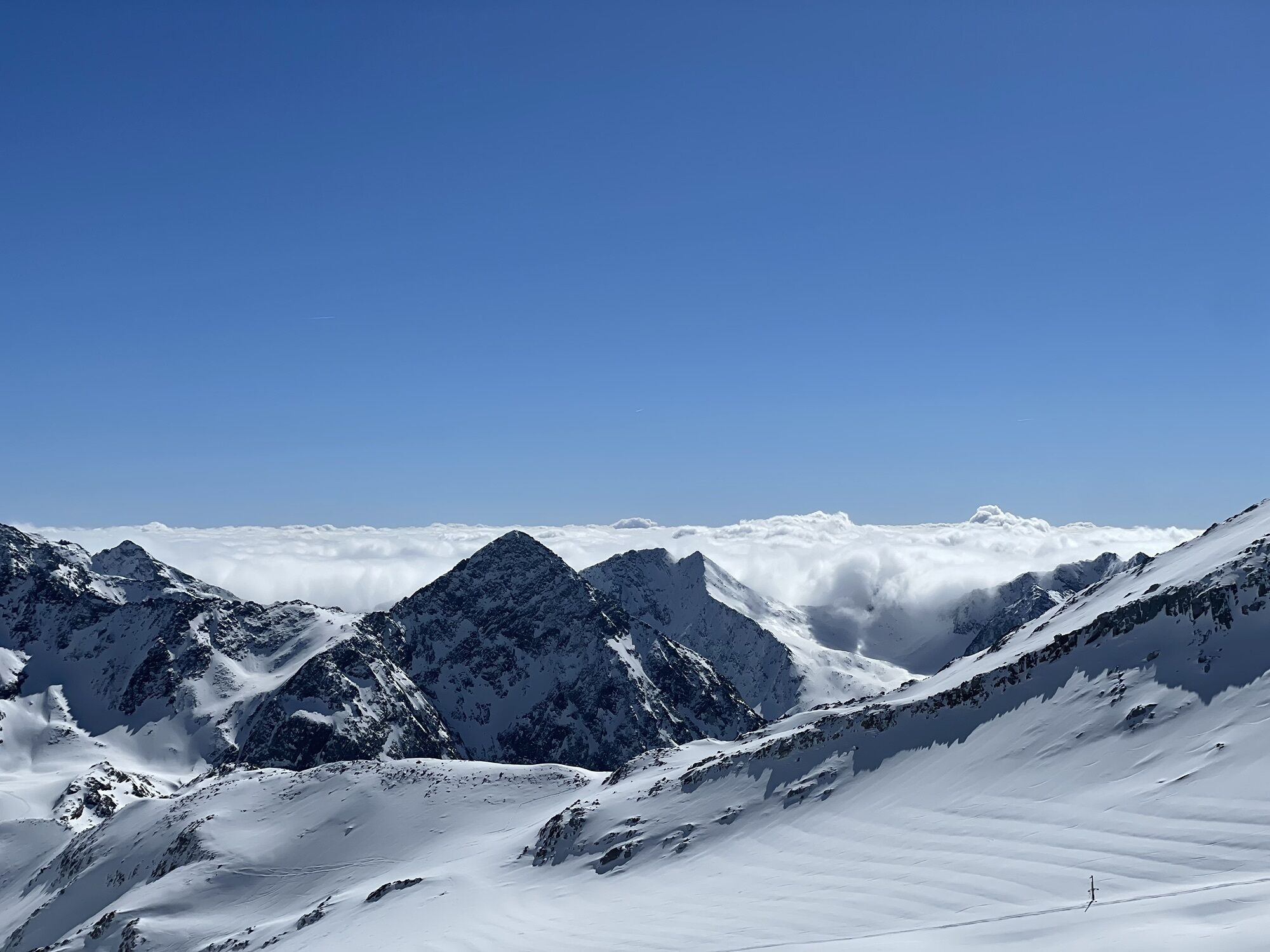
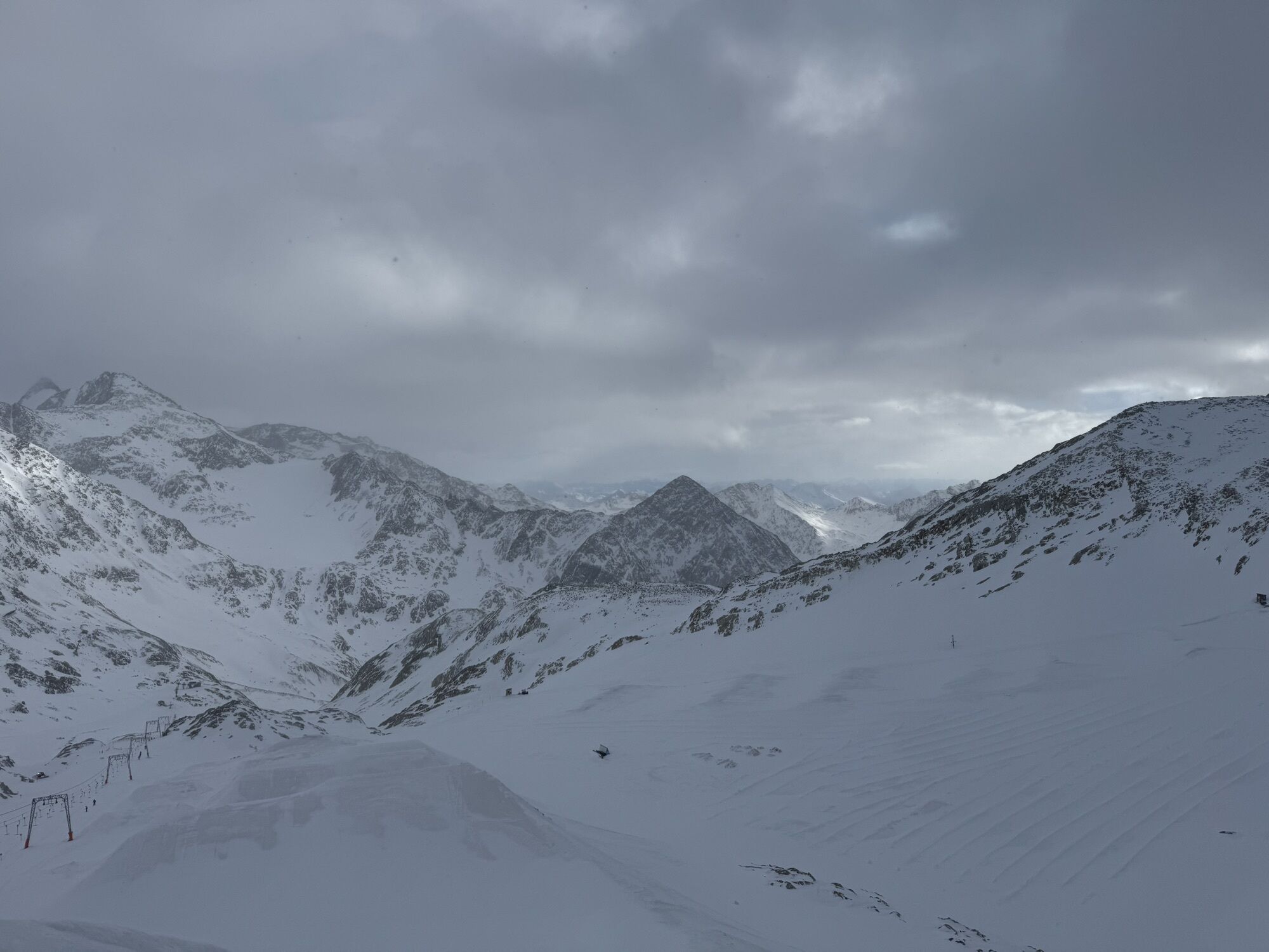
 © stijn zijderveldUtworzono dnia 15.02.2026
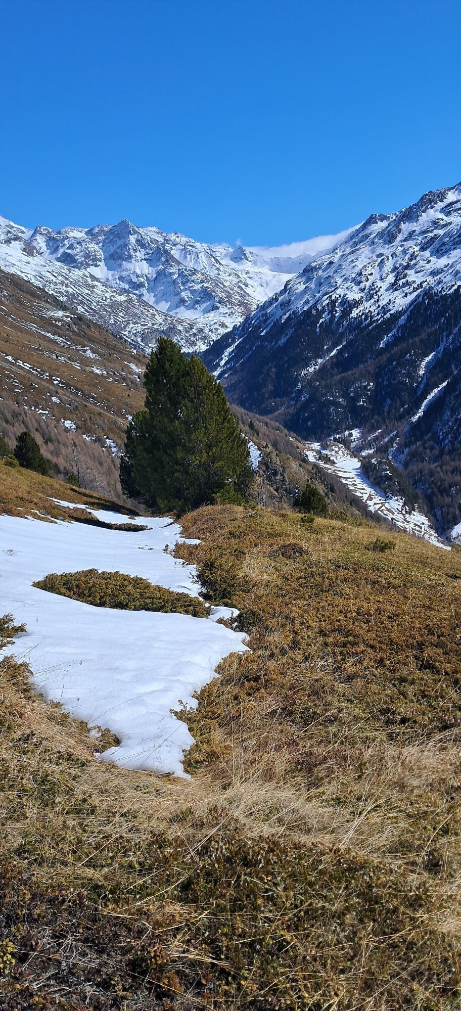
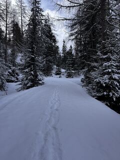 © stijn zijderveldUtworzono dnia 15.02.2026
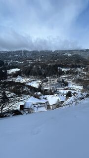 © stijn zijderveldUtworzono dnia 15.02.2026
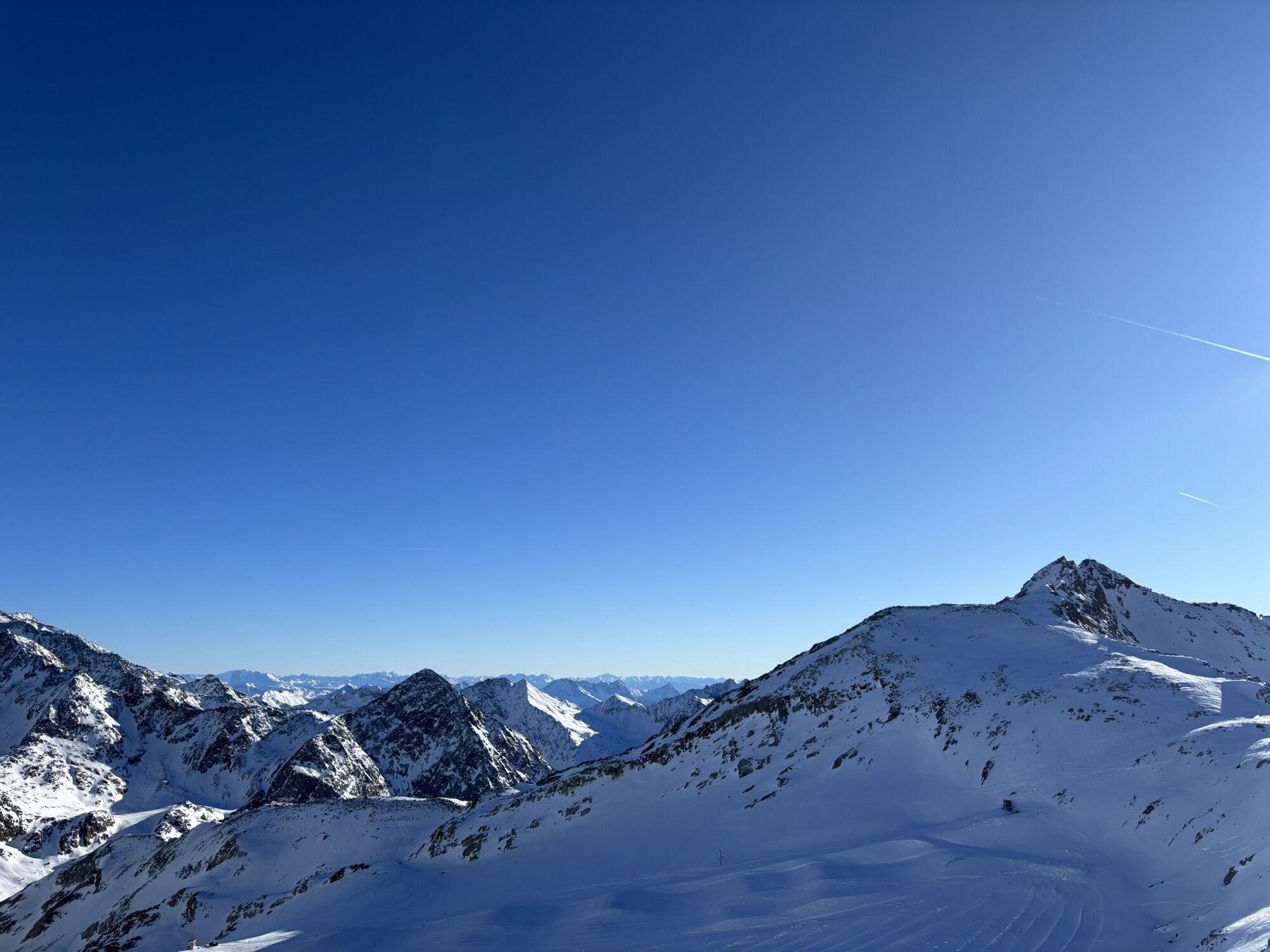
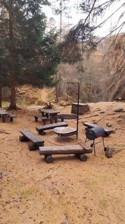
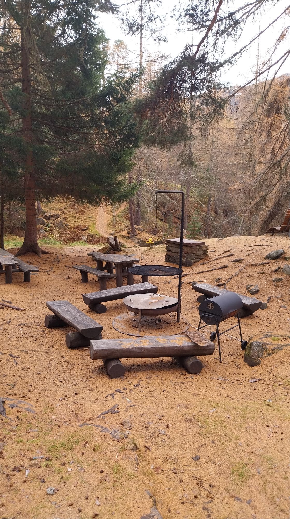
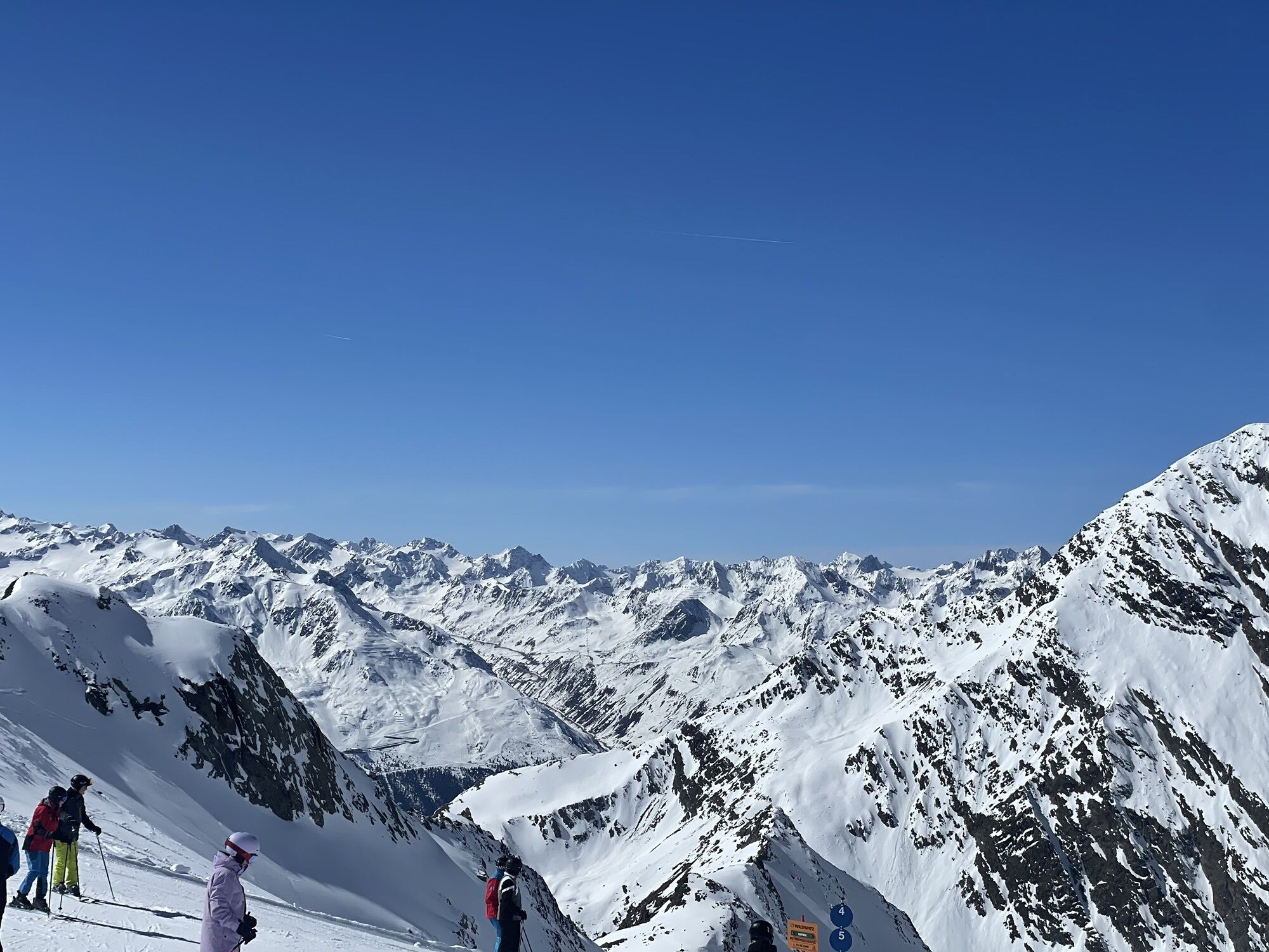
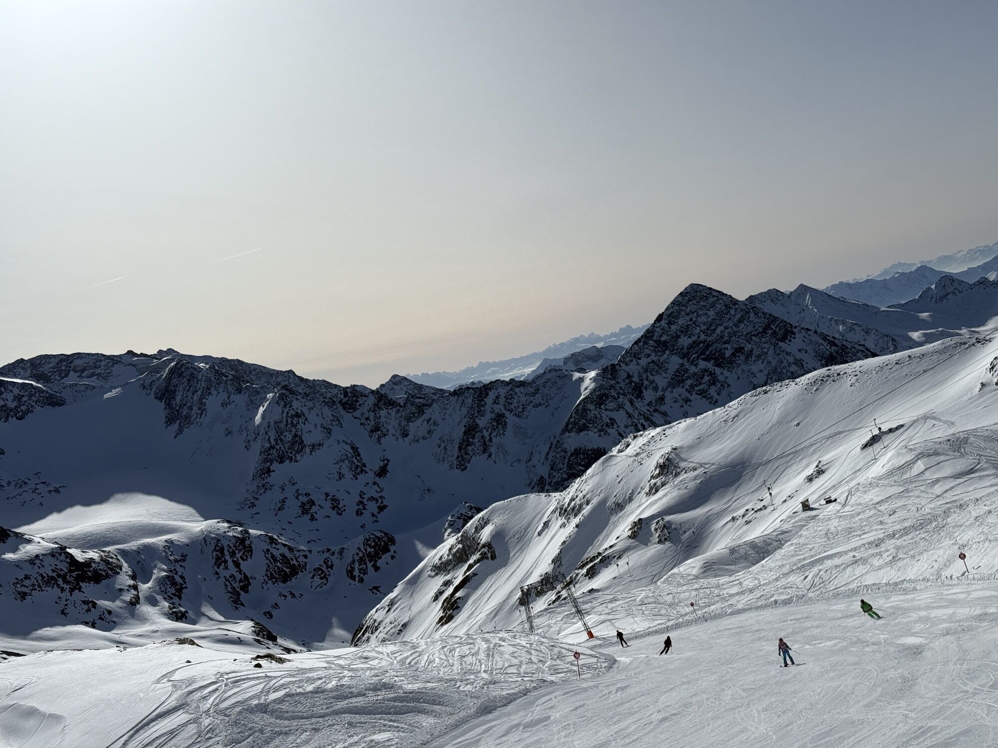
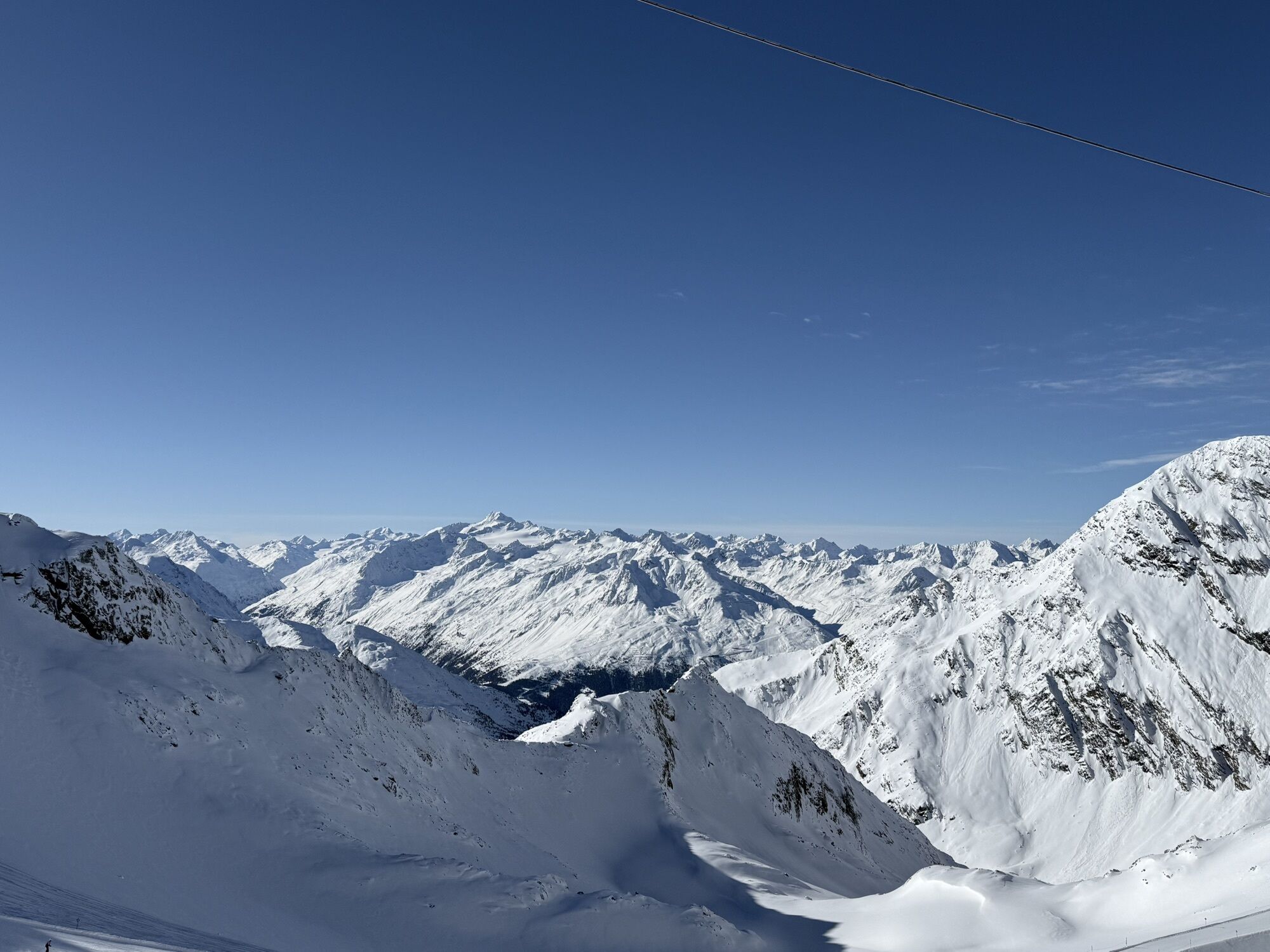
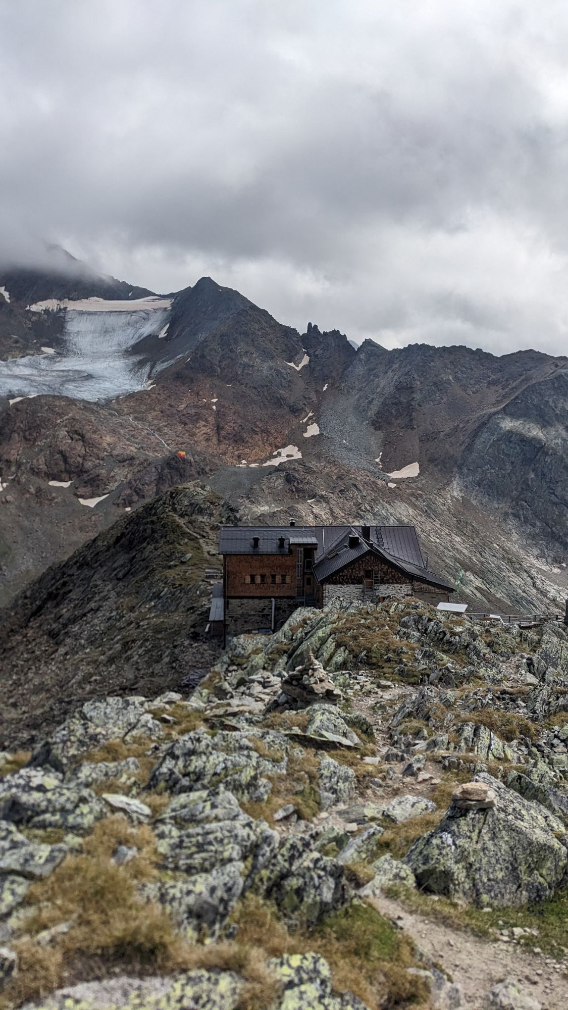
 © Desirée AuerUtworzono dnia 16.11.2025
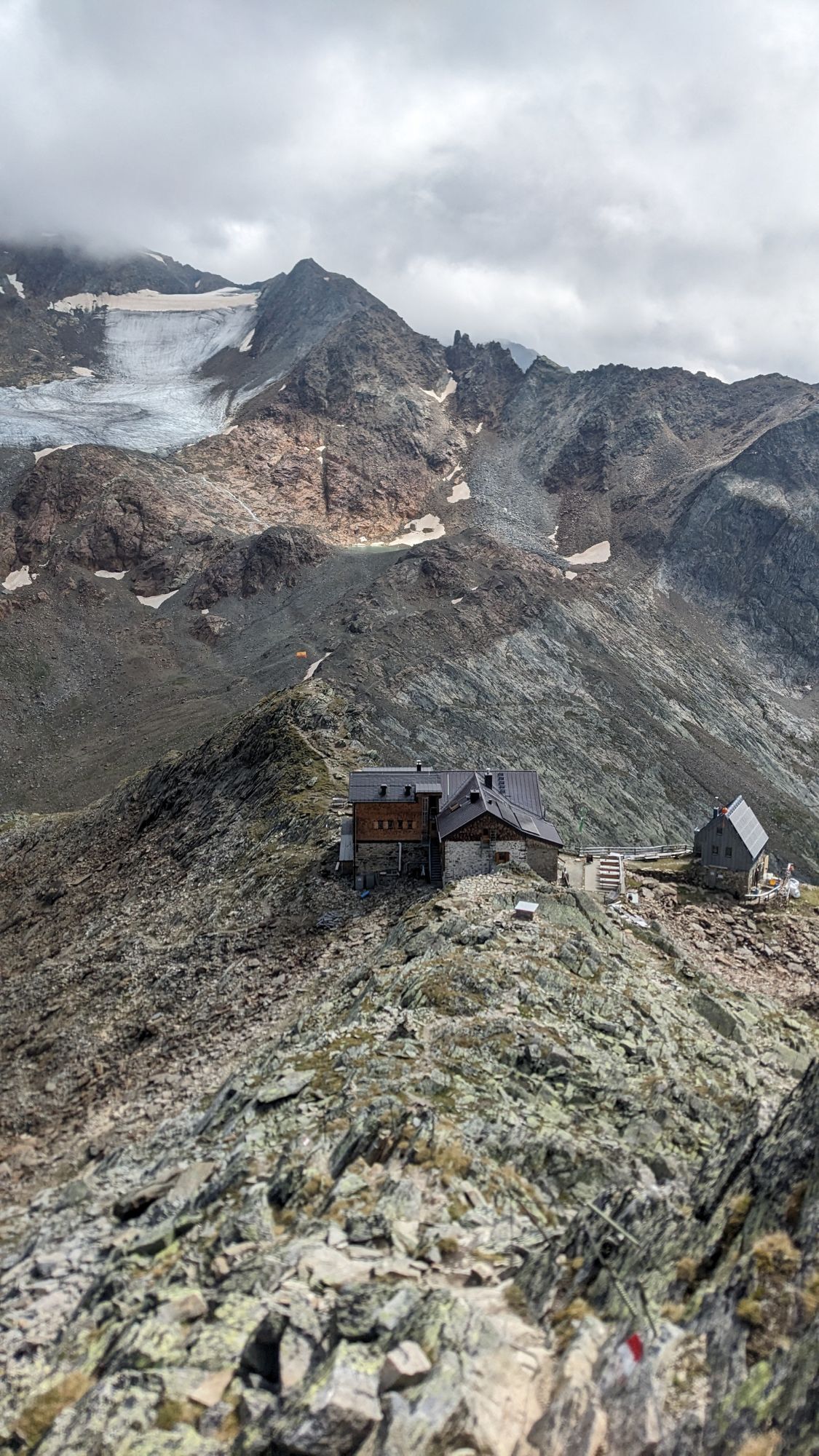
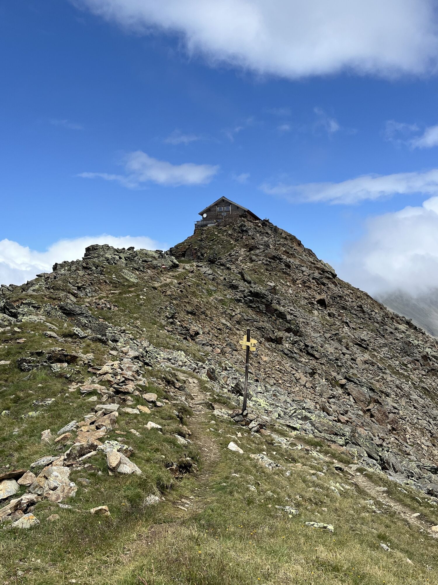
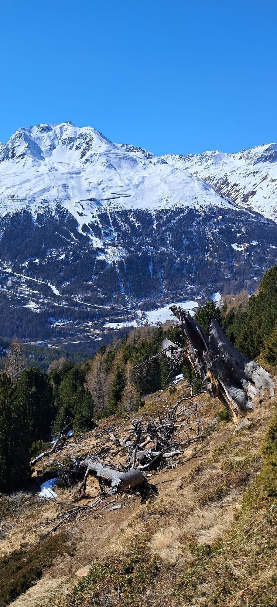
 © Jonas KaufmannUtworzono dnia 29.07.2025
 © Jonas KaufmannUtworzono dnia 29.07.2025
 © Jonas KaufmannUtworzono dnia 29.07.2025
 © Jonas KaufmannUtworzono dnia 29.07.2025
 © Jonas KaufmannUtworzono dnia 29.07.2025
 © Jonas KaufmannUtworzono dnia 29.07.2025
 © Jonas KaufmannUtworzono dnia 29.07.2025
 © Jonas KaufmannUtworzono dnia 29.07.2025
 © Jonas KaufmannUtworzono dnia 29.07.2025
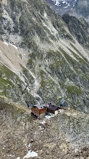
 © Peter SchneiderUtworzono dnia 12.07.2025
 © Peter SchneiderUtworzono dnia 12.07.2025
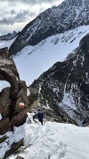 © Peter SchneiderUtworzono dnia 12.07.2025
 © Peter SchneiderUtworzono dnia 12.07.2025
 © PhilippUtworzono dnia 12.08.2024
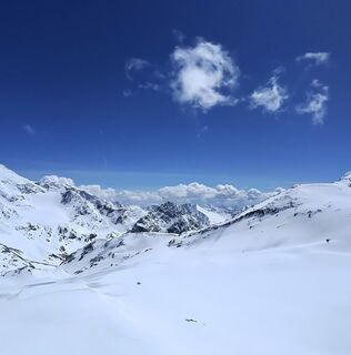 © Christian Schaefer1980Utworzono dnia 16.04.2026
 © Julian KitlinskiUtworzono dnia 28.03.2026
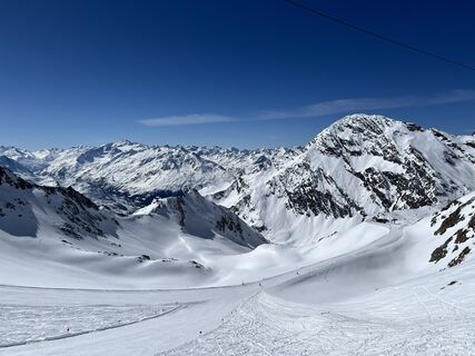
 © Markus RummlerUtworzono dnia 20.03.2026
 © ZsuUtworzono dnia 13.03.2026
 © ZsuUtworzono dnia 13.03.2026
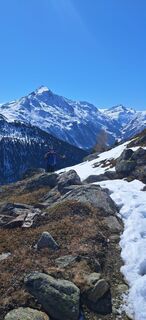 © ZsuUtworzono dnia 13.03.2026
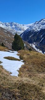 © ZsuUtworzono dnia 13.03.2026
 © H LierkeUtworzono dnia 13.03.2026
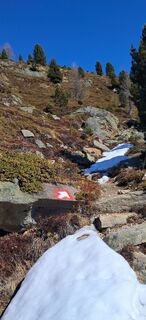 © ZsuUtworzono dnia 13.03.2026
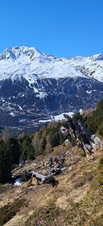 © ZsuUtworzono dnia 13.03.2026
 © H LierkeUtworzono dnia 13.03.2026
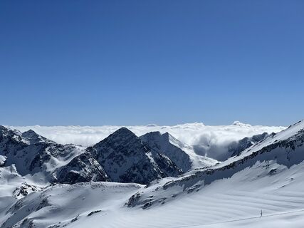 © H LierkeUtworzono dnia 13.03.2026
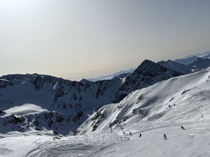
 © Petr MichalUtworzono dnia 05.03.2026
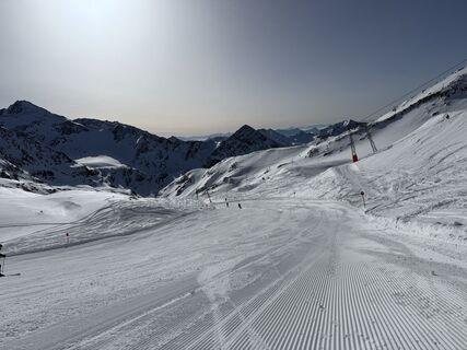 © Petr MichalUtworzono dnia 05.03.2026
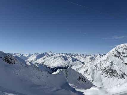
 © Bert BeldUtworzono dnia 31.01.2026
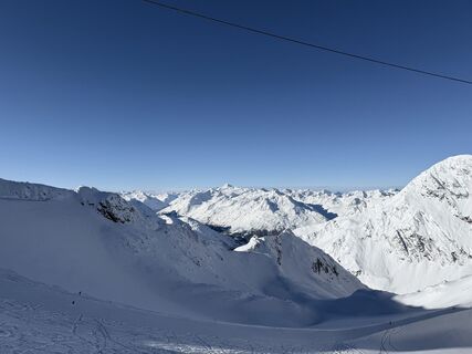 © Bert BeldUtworzono dnia 30.01.2026
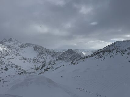 © Enrico NeumannUtworzono dnia 12.01.2026
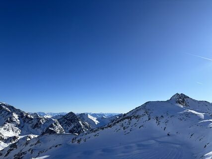
 © Elise van GoolUtworzono dnia 29.12.2025
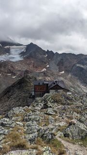
 © Martin GlaserUtworzono dnia 04.09.2024
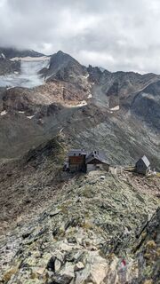 © Martin GlaserUtworzono dnia 04.09.2024
 © Martin GlaserUtworzono dnia 04.09.2024
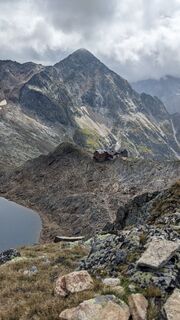 © Martin GlaserUtworzono dnia 04.09.2024
 © Martin GlaserUtworzono dnia 04.09.2024
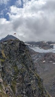 © Martin GlaserUtworzono dnia 04.09.2024
 © Martin GlaserUtworzono dnia 04.09.2024
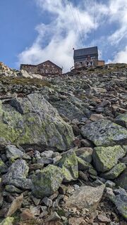 © Martin GlaserUtworzono dnia 04.09.2024
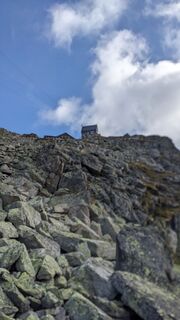 © Martin GlaserUtworzono dnia 04.09.2024
 © Martin GlaserUtworzono dnia 04.09.2024
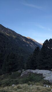 © Martin GlaserUtworzono dnia 04.09.2024
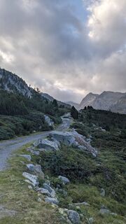 © Martin GlaserUtworzono dnia 04.09.2024


Day 1
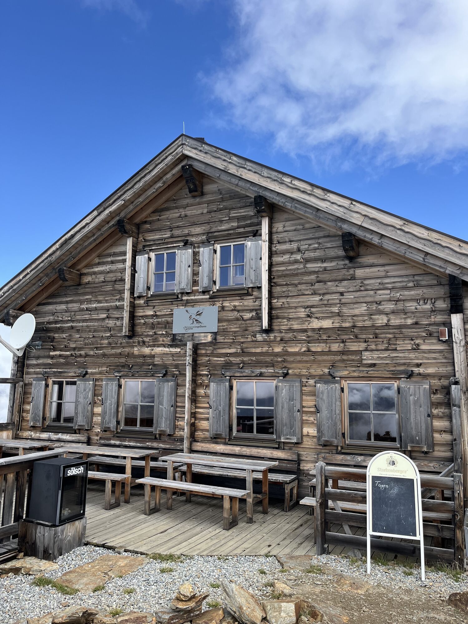
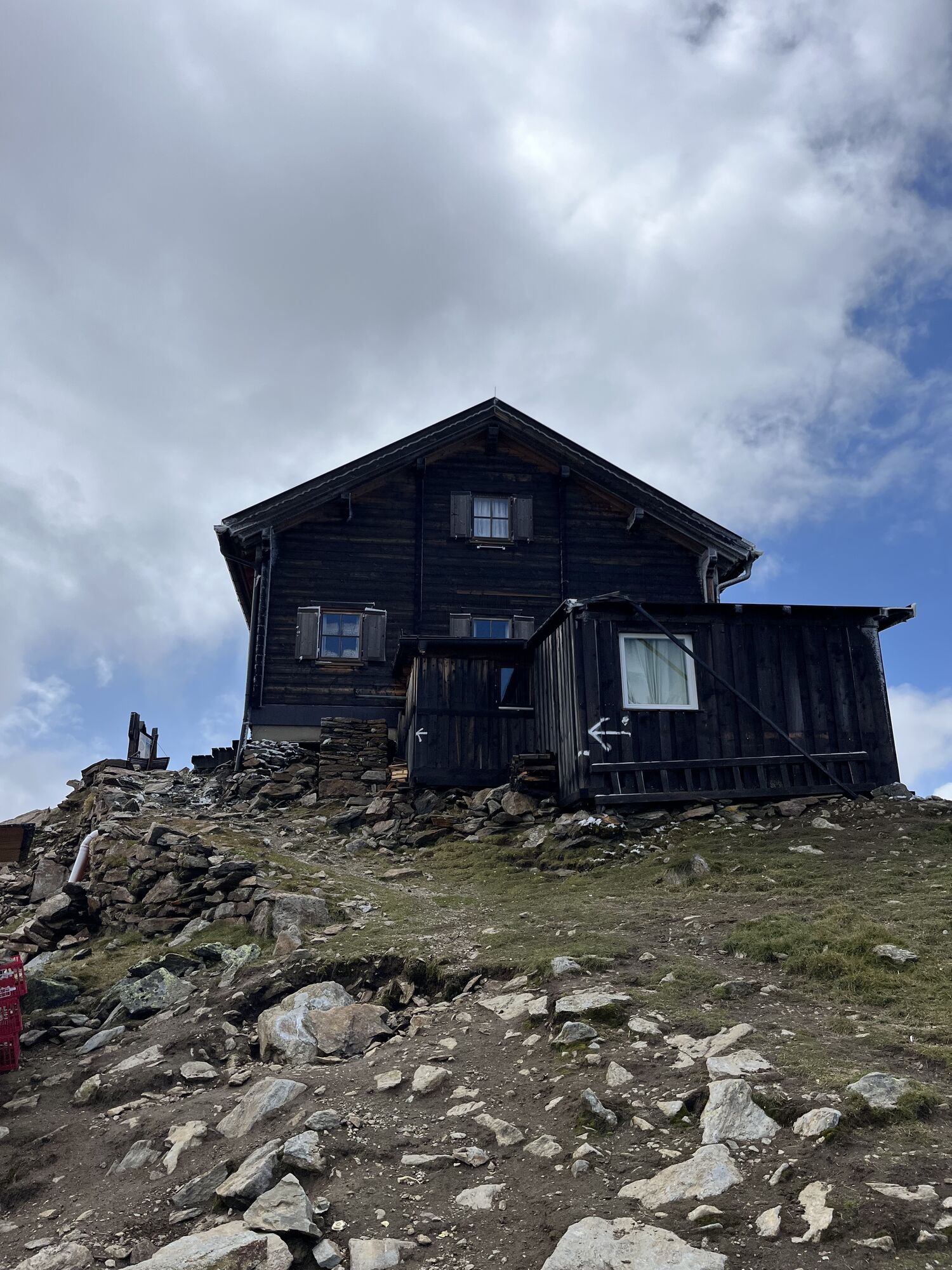
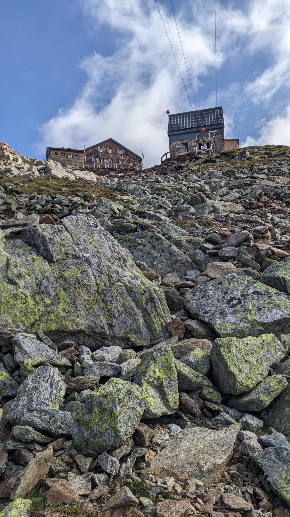
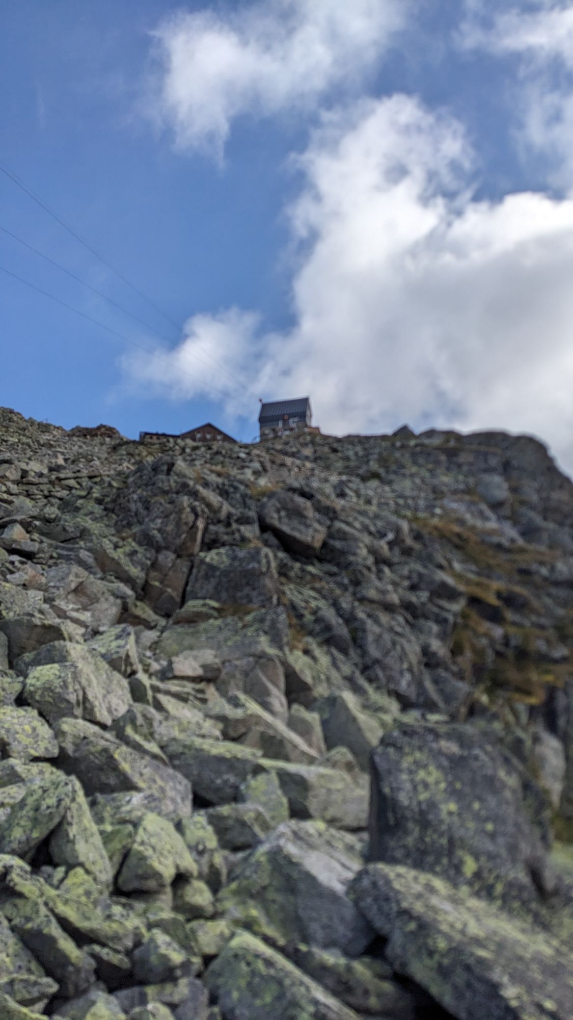
Ascent over Brunnenbergalm to Brunnenkoglhaus. Rest and sleep at 2.738 m. Walking time: 5 h
Day 2
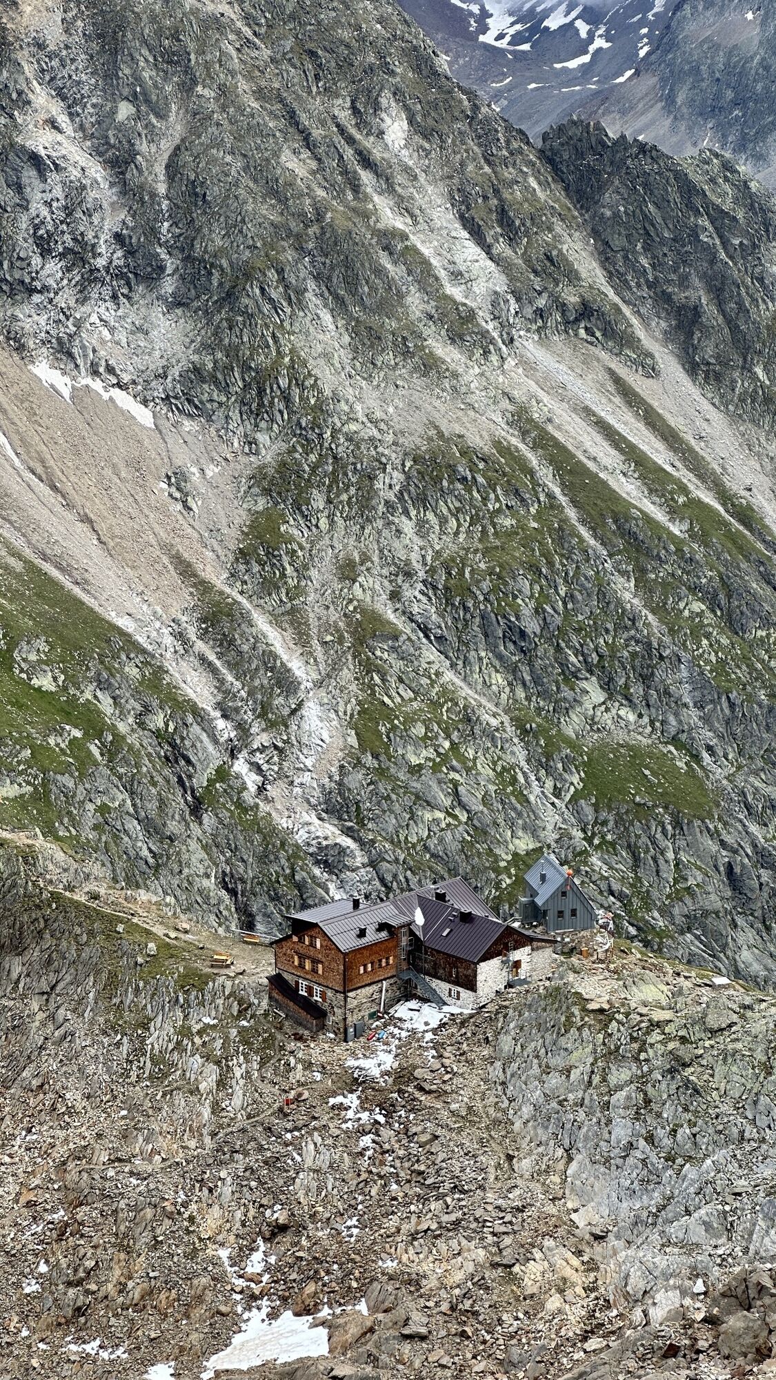
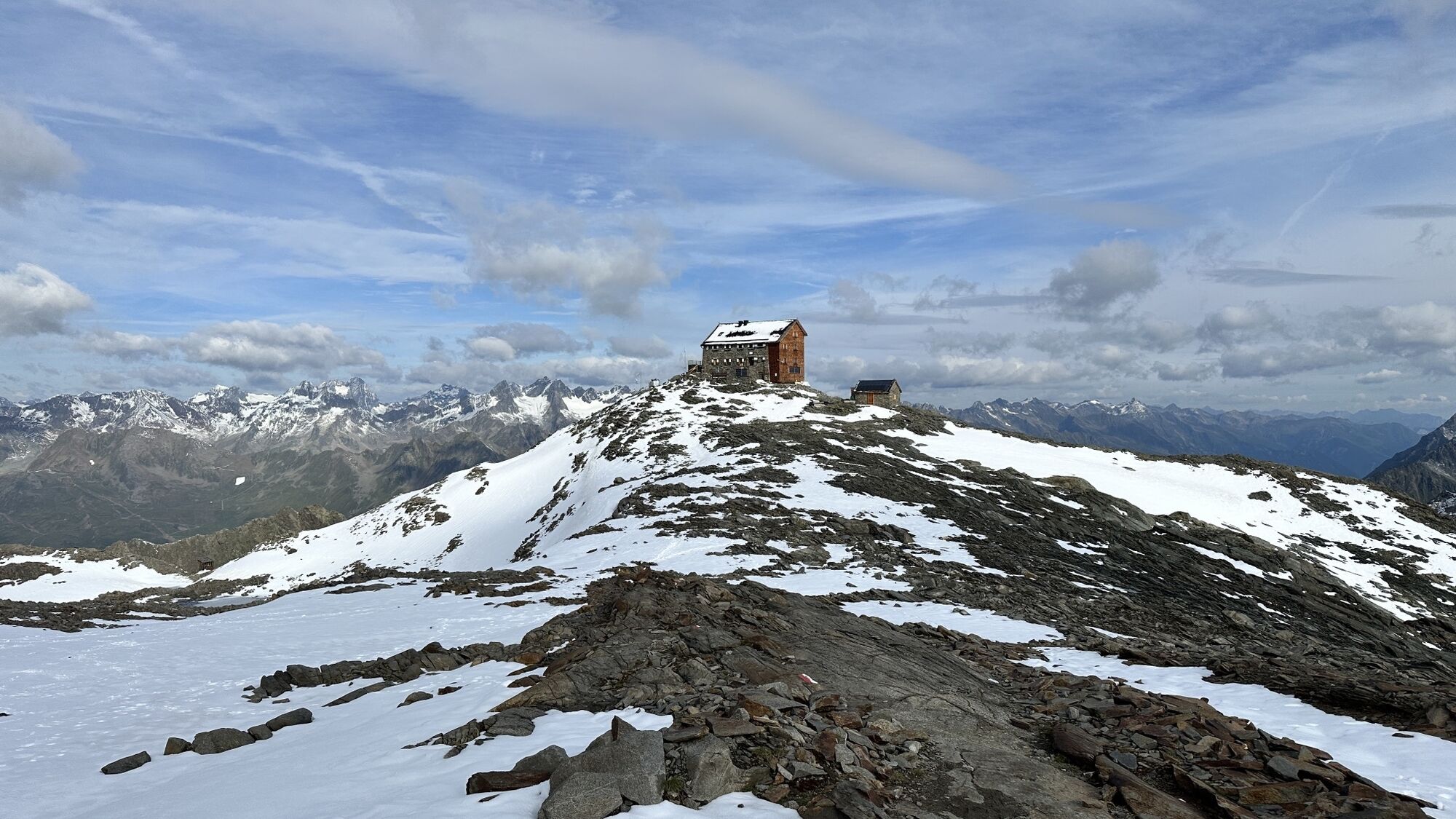
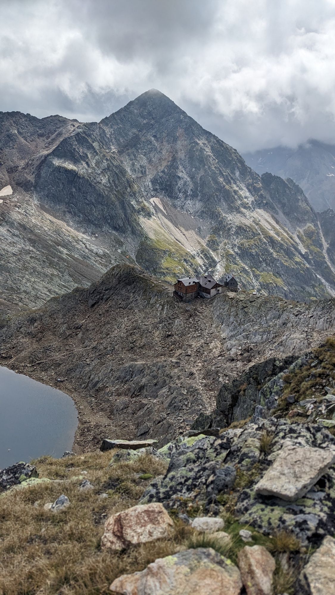
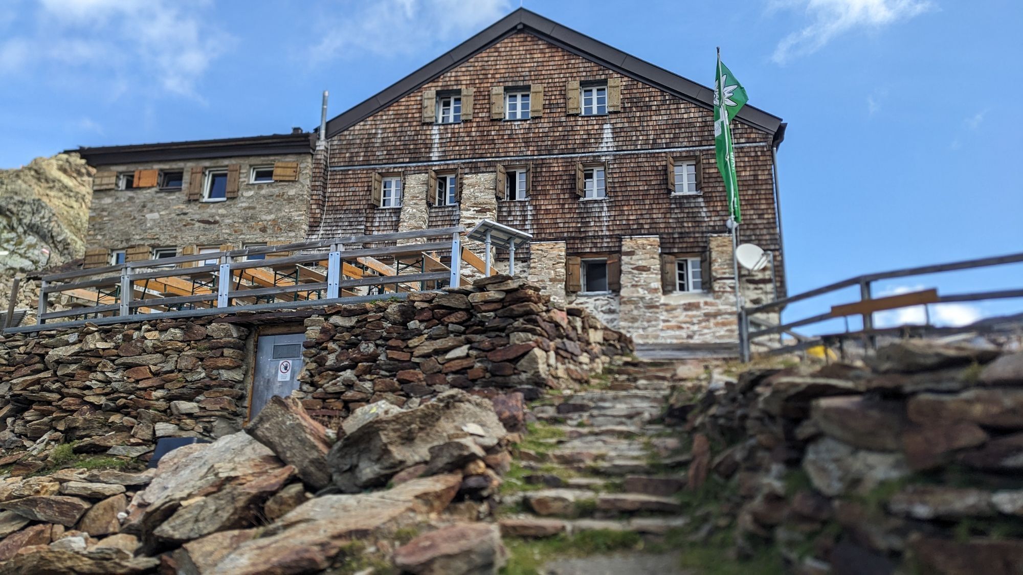
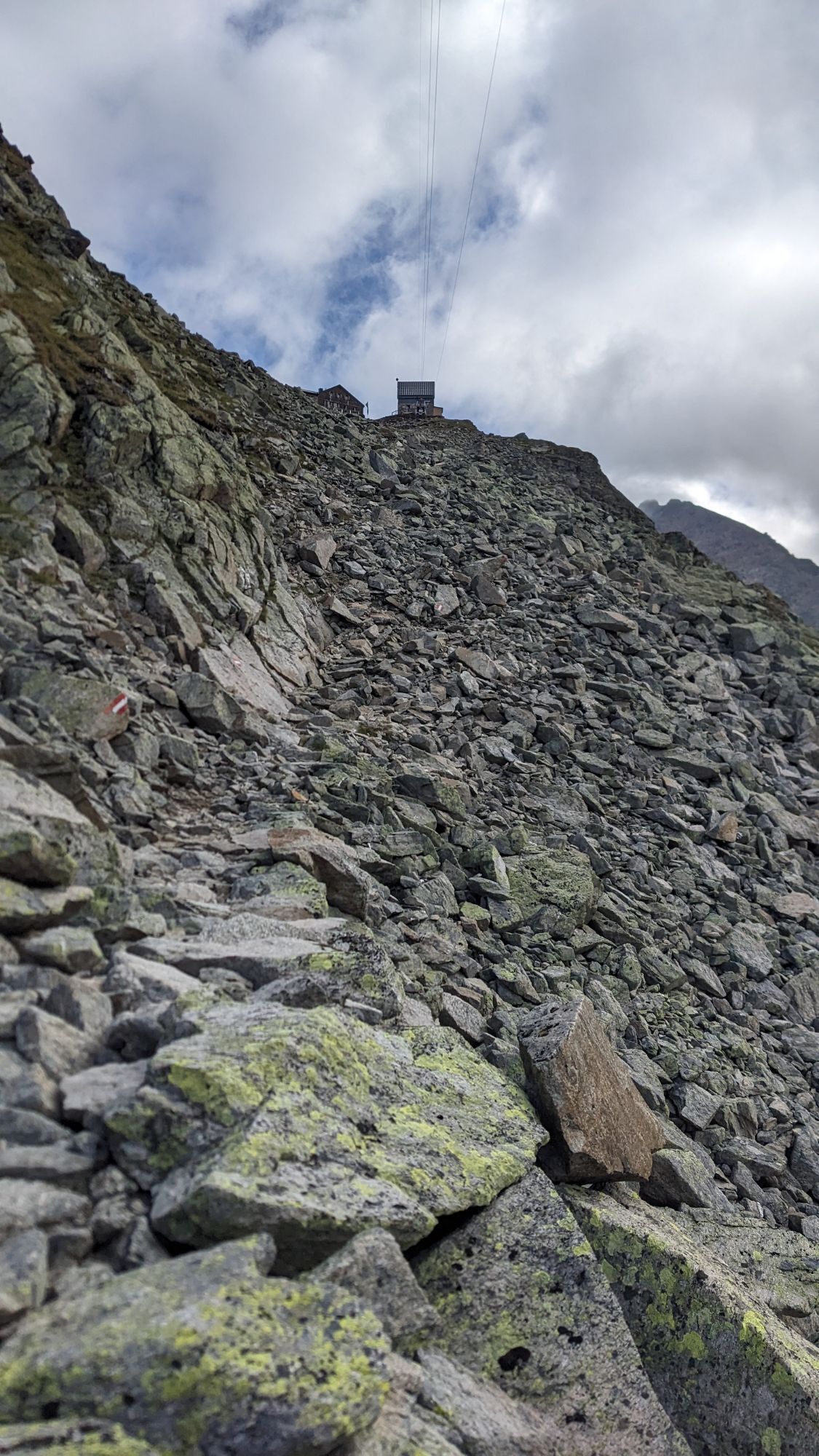
Descent into the Schönkar and into the Windach Valley and from there hike to Siegerlandhütte (2,71...
Ascent over Brunnenbergalm to Brunnenkoglhaus. Rest and sleep at 2.738 m. Walking time: 5 h
Day 2
Descent into the Schönkar and into the Windach Valley and from there hike to Siegerlandhütte (2,710 m). Walking time: 5 h
Day 3
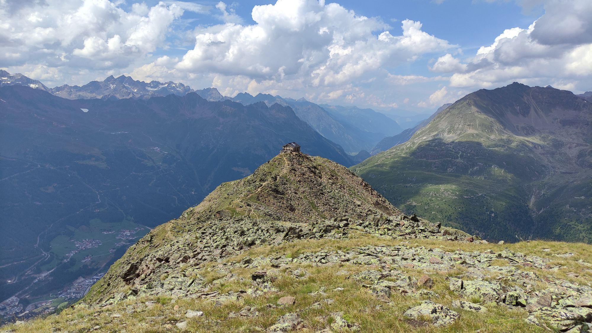
Fantastic hiking tour over the Gamsplatzl at 3.019 m to Hildesheimer Hütte at 2.900 m. Dinner and sleep. Walking time: 3.5 h
Day 4
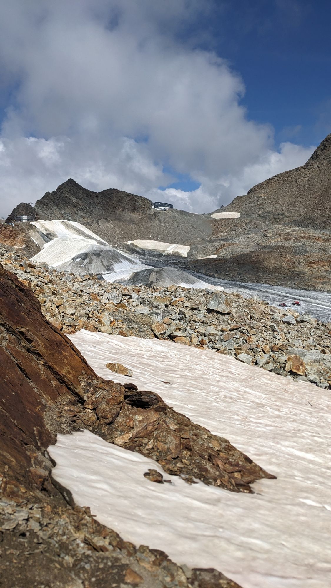
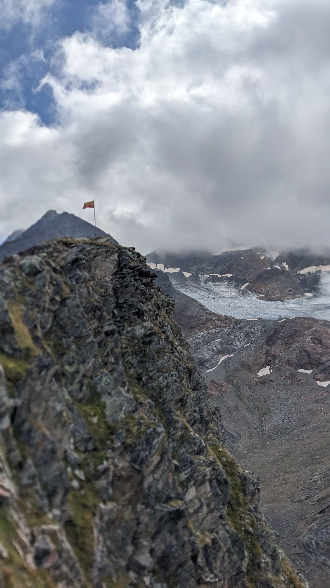
Ascent to the Gaiskarferner past the Jochdohle, continue to the Windacher Ferner. From there, descend down to the bottom of the lake to about 2,600 m. Ascent to the seearsee over the heavenly ladder to the Hochstubai hut. Walking time: 5.5 h
Day 5
Descent over the Laubkarsee to the Kleble Alm. Afterwards we return to Sölden. Packed with memories of a beautiful mountain tour.

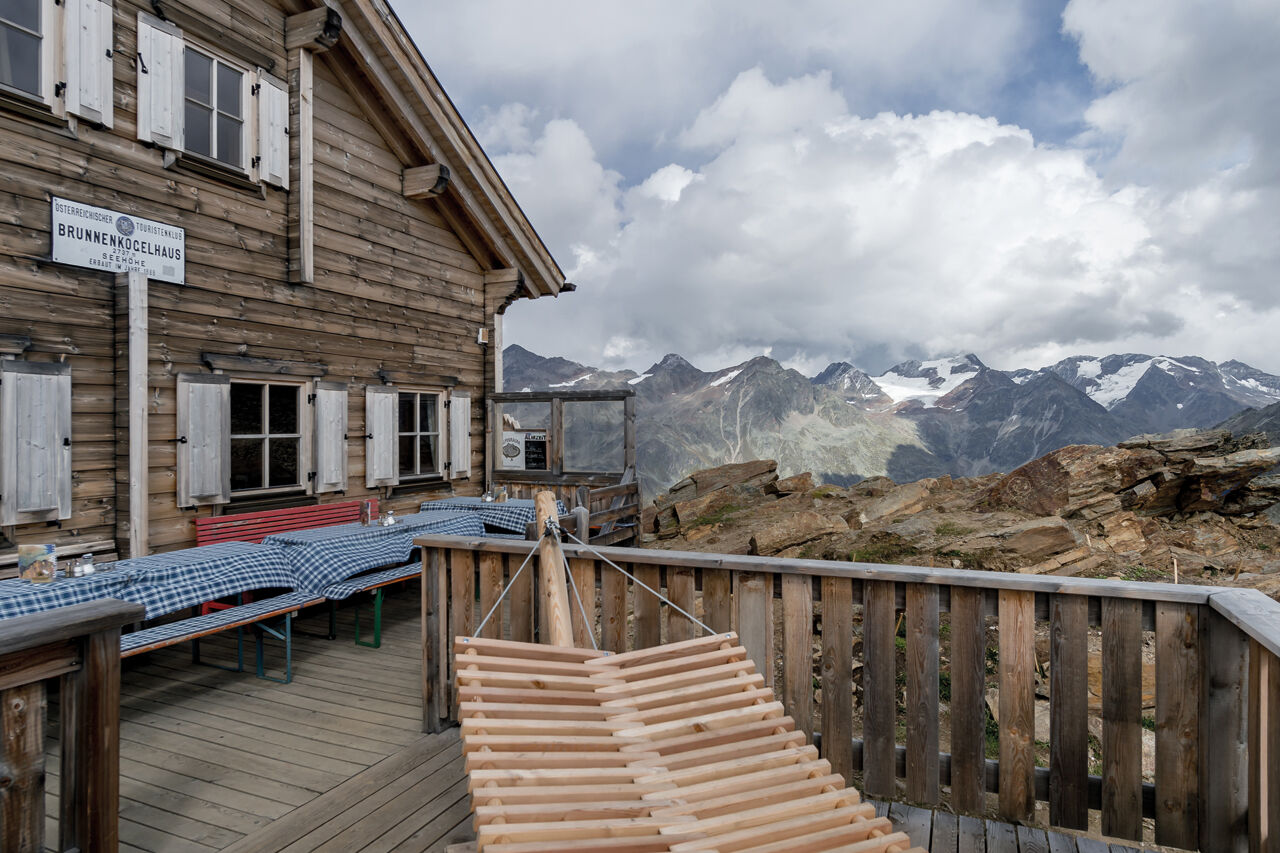
Ascent via Brunnenbergalm to Brunnenkoglhaus 2,738 m. Walking time: 4 h
Start: At the Gaislachkogelbahn to the camping and over the bridge up on paved road to the Moosalm. Continue on a forest road to Brunnenbergalm (1973m). Now it goes up steeply through the wonderfully forest. Again it goes steeply up through some serpentines to the Brunnenkogelhaus. The path is steep, but it does not present any great difficulties, without a wire rope: +1355 Hm / -0 Hm,
2 day
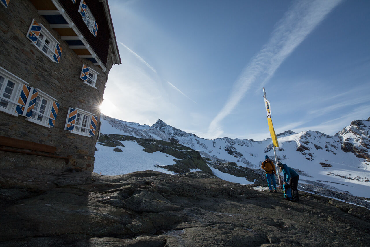
Descent into the Schönkar and to the Windachtal and onward march to the Siegerlandhütte (2,710 m). Walking time: 5 h
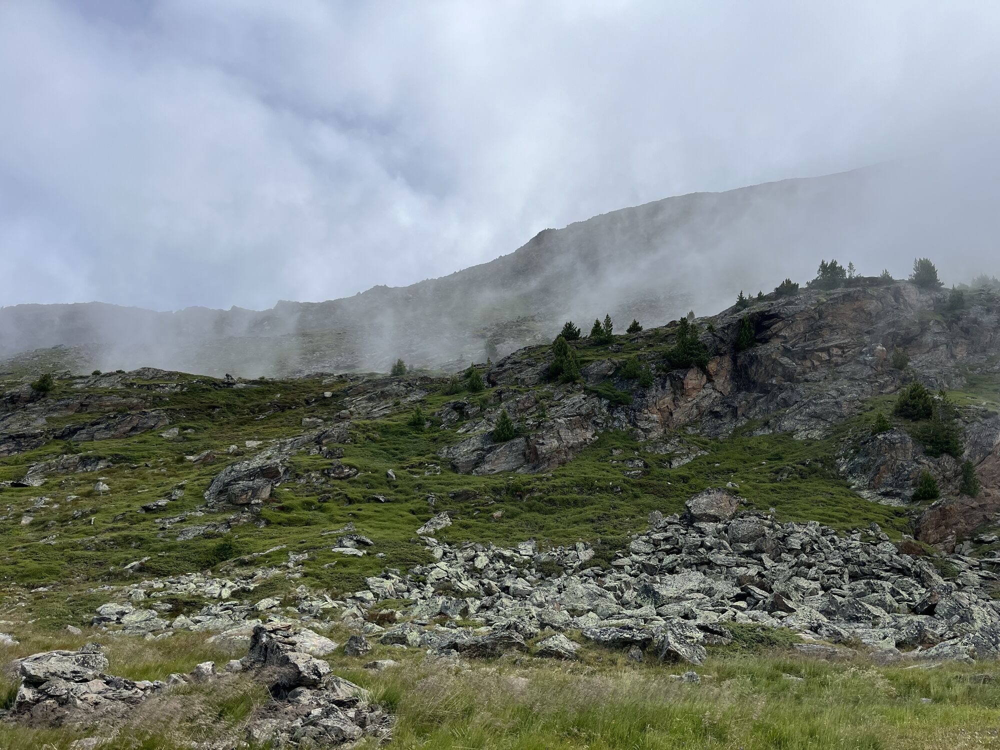
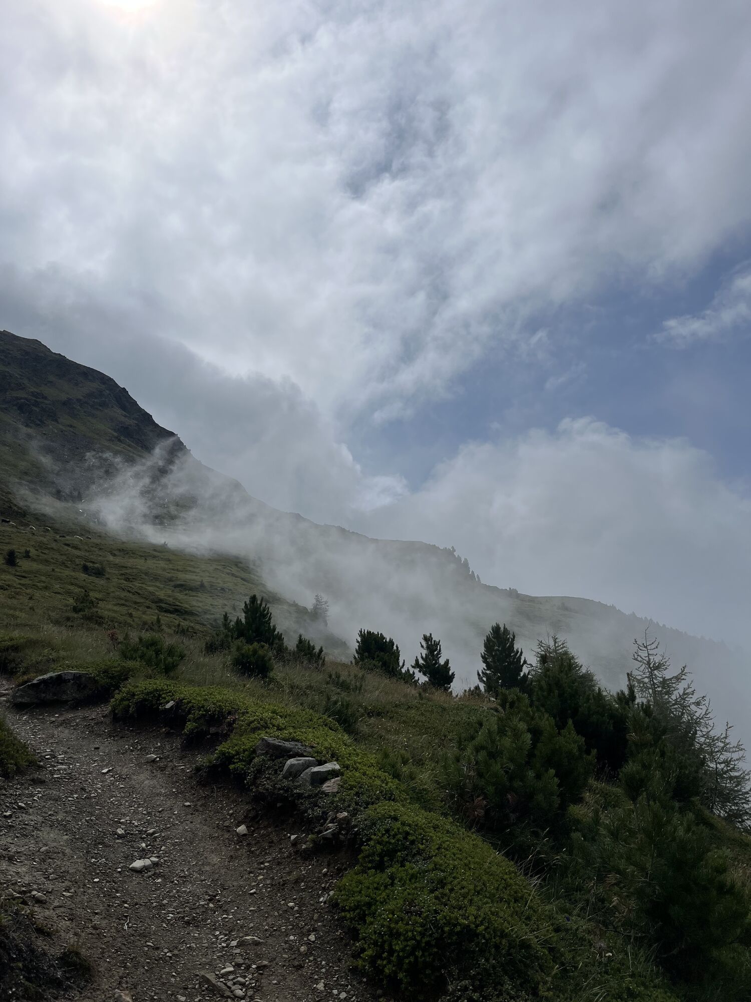
From Brunnenkogelhaus we start a bit steeper downhill to the Schönkar and from there it goes down through an old pine forest to Windachtal.At the bottom of the valley, we hike on a broad path into the valley to the Gaisstabel, where the trail narrows again. From here we reach the material cable car of the SIegerlandhütte in about one hour and from there it goes up another hour until we reach the hut.
3rd day
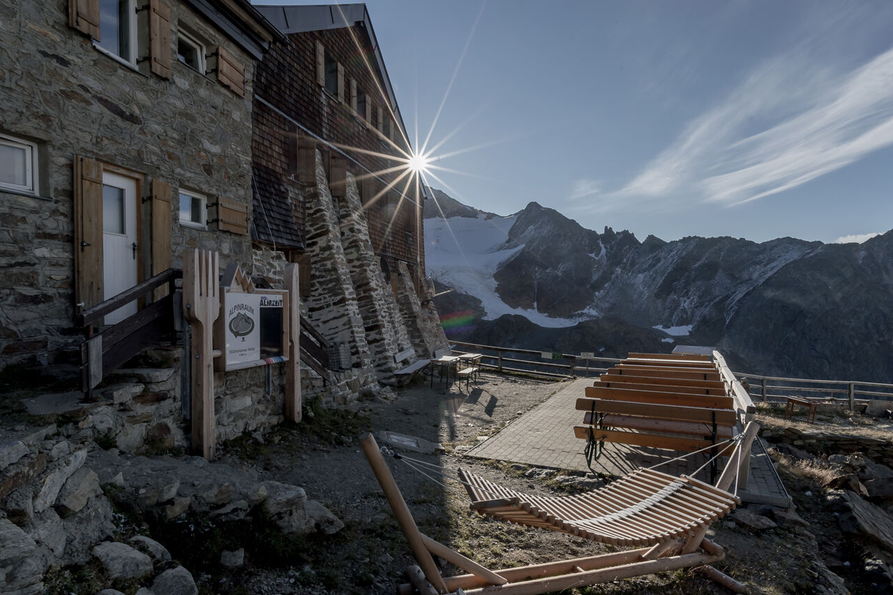
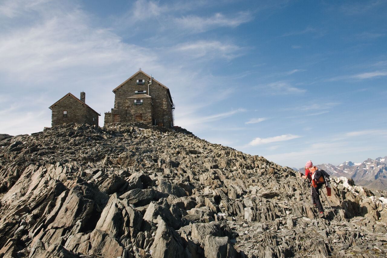
Fantastic hiking tour over the Gamsplatzl at 3,019 m to the Hildesheimer Hütte at 2,900 m. Walking time: 3.5 hours
From the Siegerlandhütte we first hike comfortably to the Triabenkar and from there up to the GAmsplatzl. From there it goes first down again before you climb up to the hut.
4th day
Climb to Gaiskarferner past the Jochdohle and to Windacher Ferner. From there descent into the Warenkar and to the Seekarsee atabout 2,600 m. Ascent from Seekarsee over the ladder to Hochstubaihütte. Walking time: 5,5 h
5th day
Descent across the Laubkarsee to Kleble Alm. Afterwards we return to Sölden. Packed with memories of a beautiful mountain hike.
Black mountain paths are narrow, almost entirely steep and exposed paths. Anyone who sets out on a black mountain path must expect longer secured walking and climbing passages. Black mountain trails are marked on the yellow basic signs with a black circle indicating the difficulty.
For experienced mountaineers that are free from vertigo & surefooted, Very good physical condition, mountain experience & mountain equipment (see notice equipment) necessary, such as alpine security material, goodweather conditions recommended. Please pay attention to the current weather report: https://www.oetztal.com/de/sommer.html
To the route planner: https://www.google.at/maps
All parking is free during the day.
Parking for several days (eg hike tour):
Postplatz, Parkticket available at the information Sölden Parkgarage Gaislachkoglbahn, Parkticket either online or directly at the cash desk of the GaislachkoglbahnFrom the Kleble Alm you can comfortably take the hut taxi to Sölden. The hut tour in Windachtal can be done in different ways. In reverse order or even omit certain stages and start at various points.
Kamery internetowe z trasy
Daunjoch
Gamsgarten / Murmele Bergstation
Seekogel
Gaislachkogel
Hochsölden
Sölden - Grünwald Resort
Sölden - Grünwald Resort
Giggijoch
Giggijoch
Giggijoch
Giggijoch
Giggijoch
Giggijoch
Giggijoch
Giggijoch
Becherhaus
Wannenkogel
Elferbahnen Neustift / Stubaital
Ridnaun
Sölden - Gaislachkogelbahn Mittelstation
Sölden - Schwarzkogl Talstation
Hochstubaihütte
Hochstubaihütte
Schaufeljoch Bergstation
Sölden
The Peak Sölden**** Chalets und Appartements
Popularne wycieczki w okolicy
- 4,5
Winnebachsee Hut – Längenfeld/Gries
średniWędrówka 4,74 km - 4,7
Wilde Wasser Weg - Fortgeschritten
średniWędrówka 12,0 km - 4,3
Amberger Hut - Längenfeld/Gries
średniWędrówka 5,60 km - 4,4
Rundwanderung Hängebrück3
światłoWędrówka 6,32 km - 4,7
Winter circular route Brandalm/Burgstein - Längenfeld 204
średniWędrówka zimą 5,44 km - 3,1
Tiefenbachglacier - Mountaineering Village Vent
średniWędrówka 10,8 km - 5,0
Dresdner hütte - sulzenauerhütte
średniWędrówka 12,1 km - 4,1
Hohe Geige über Gawinden und den Westgrat
ciężkiWędrówka 14,3 km - 5,0
Obergurgl - Ramolhaus
Wędrówka 7 km - 5,0
Hoher Seeblaskogel 3235m - Längenfeld/Gries
ciężkiWędrówka 8,38 km

Wędrówki i tropienie


Nie przegap ofert i inspiracji na następne wakacje
Twój adres e-mail została dodana do listy mailingowej.