
Rauchkofel
średni
Pobierz tę trasę na swój telefon komórkowy
Rauchkofel
średni
Wędrówka
1,57
km
Zeskanuj kod QR i rozpocznij nawigację w aplikacji bergfex.


Wędrówki i tropienie





Rauchkofel
średni
Odległość
1,57
km
Czas trwania
02:00
h
Ascent
301
hm
Poziom morza
1 580 -
1 899
m
Ścieżka do pobrania
Rauchkofel
średni
Wędrówka
1,57
km
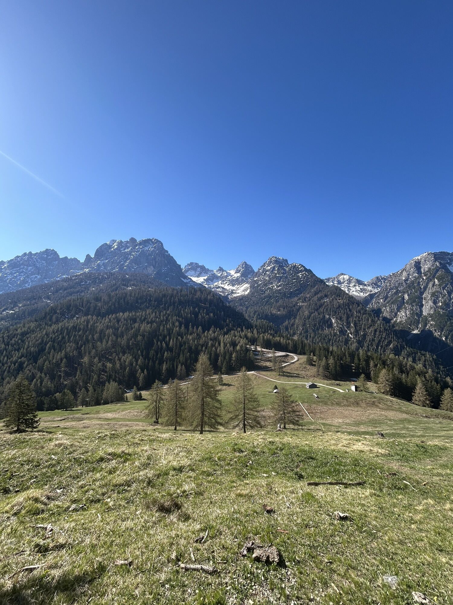
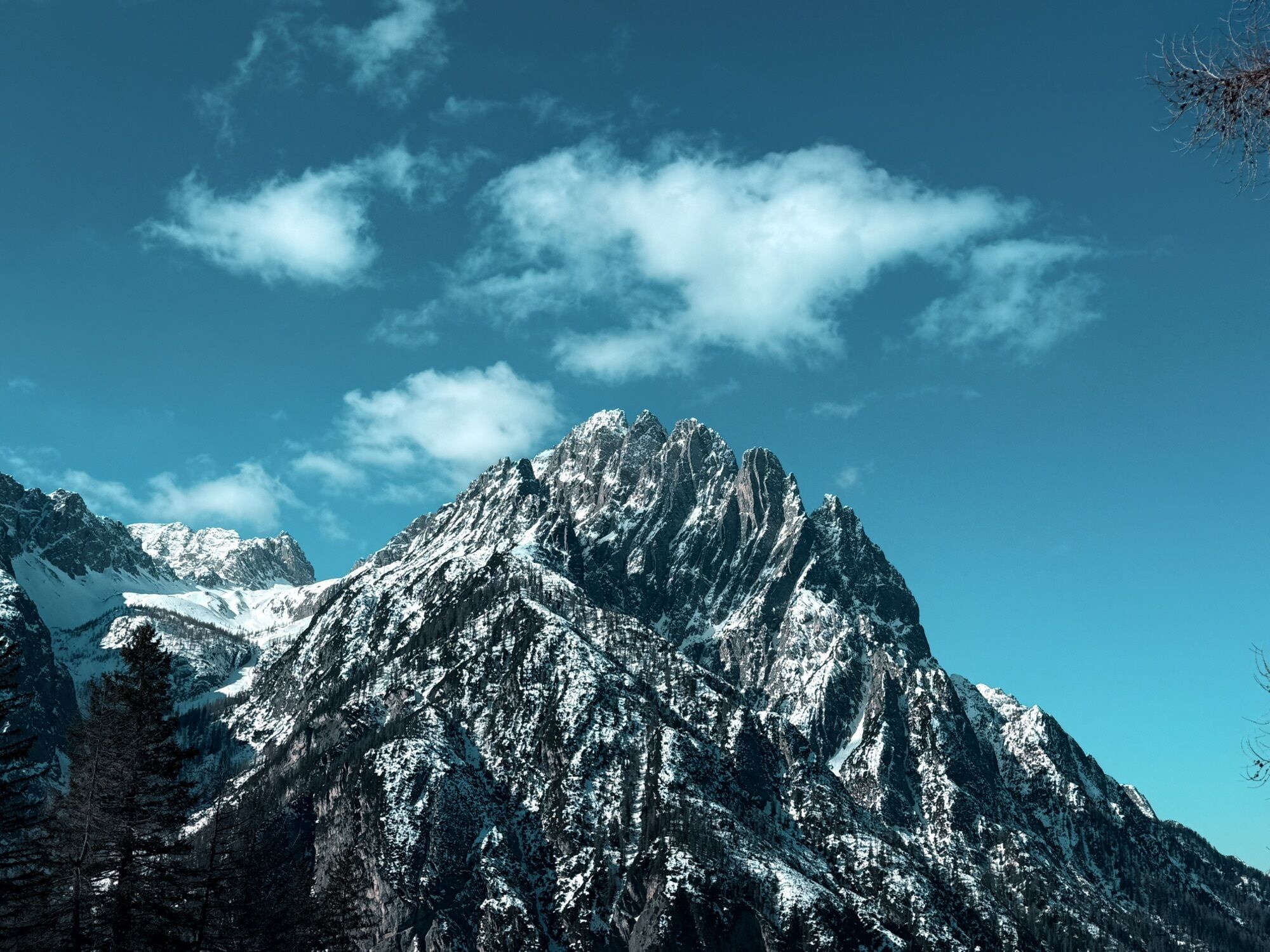
In the south of Lienz rises the Rauchkofel with its transmission mast, visible from afar. At around 1,900 metres, it towers above the surrounding mountains, but the summit is well worth the effort. Once...
Opis
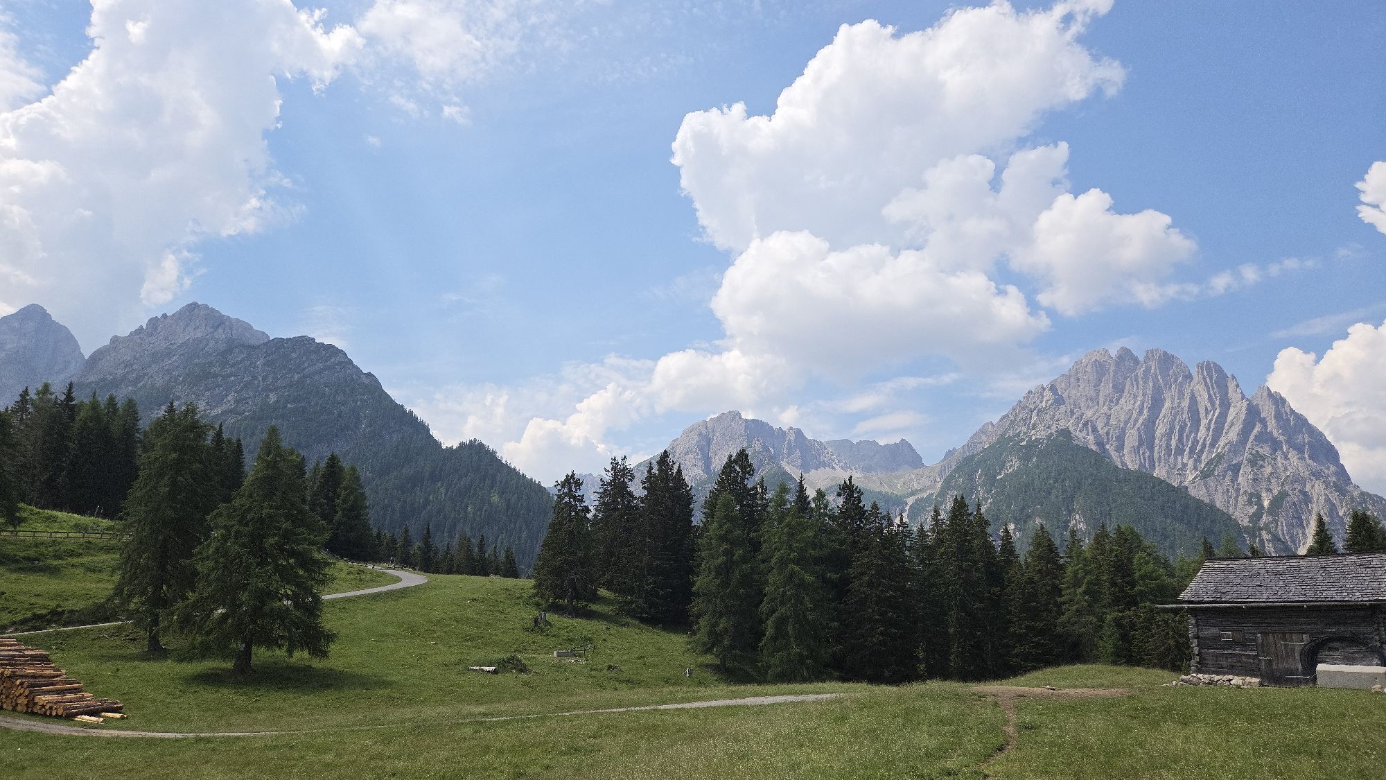
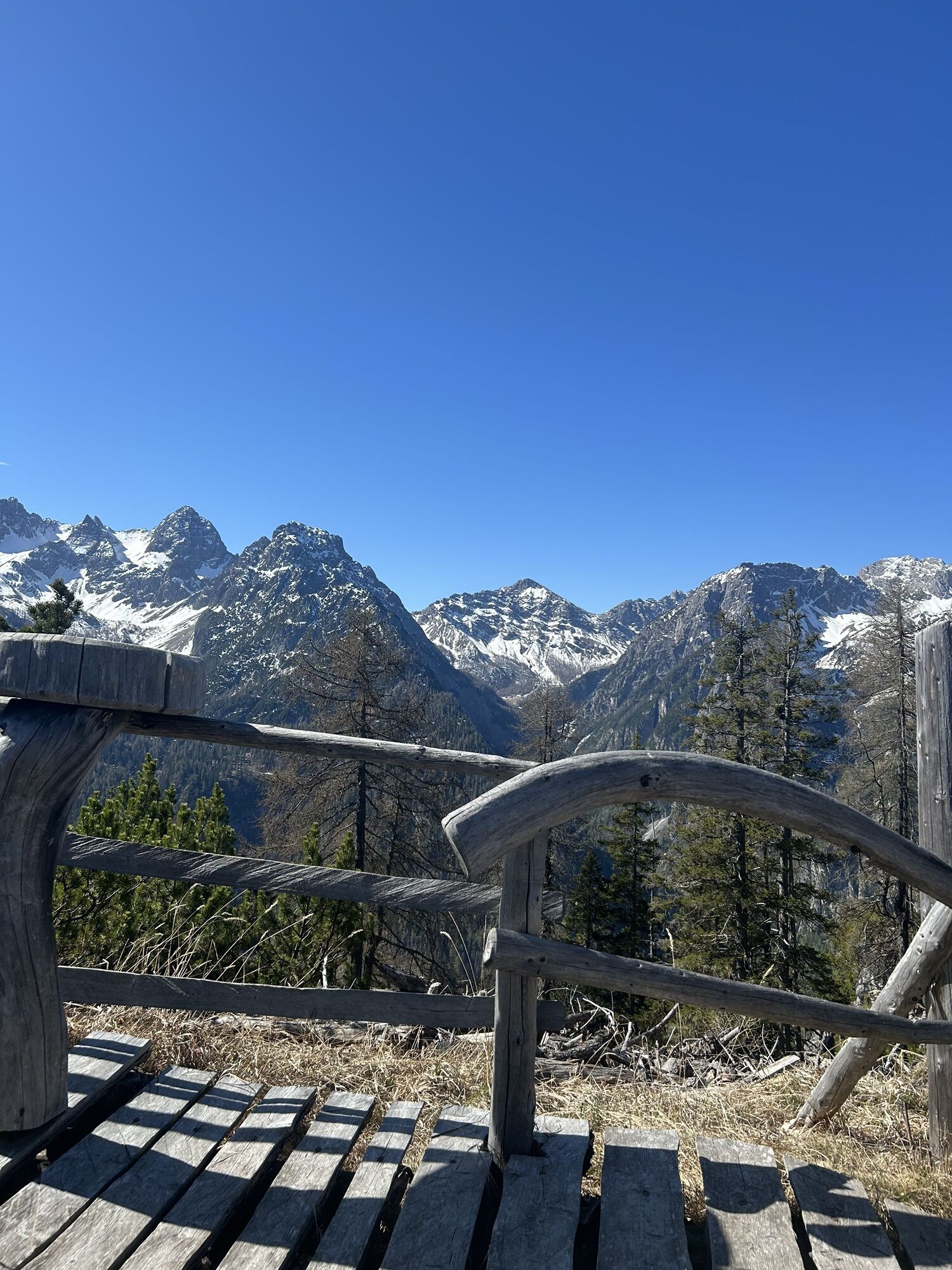
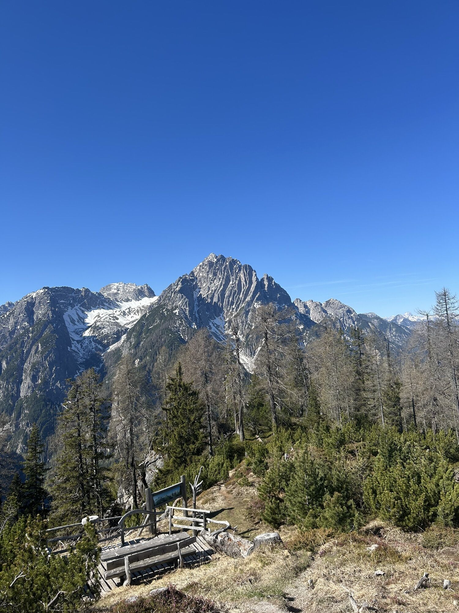
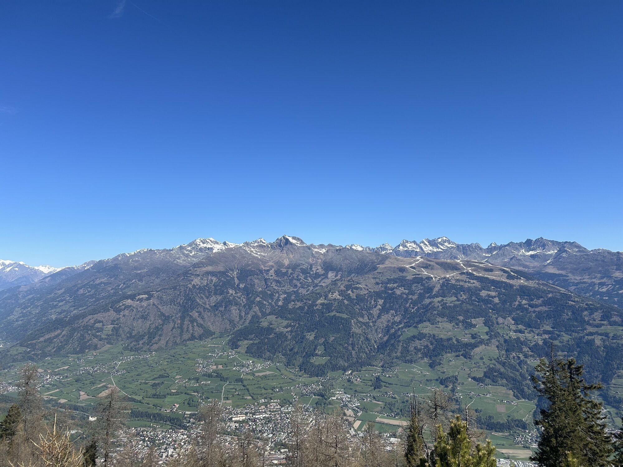
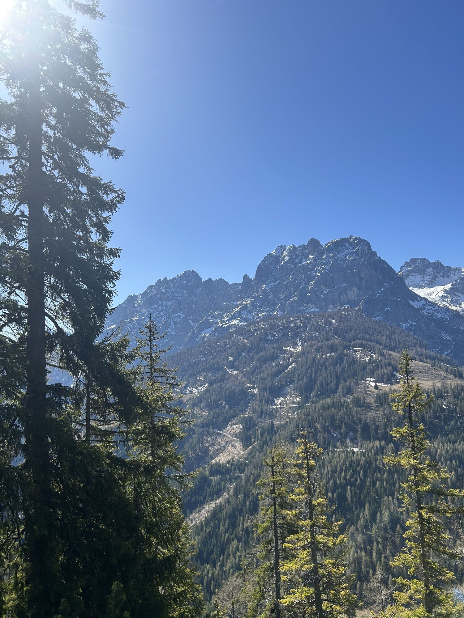
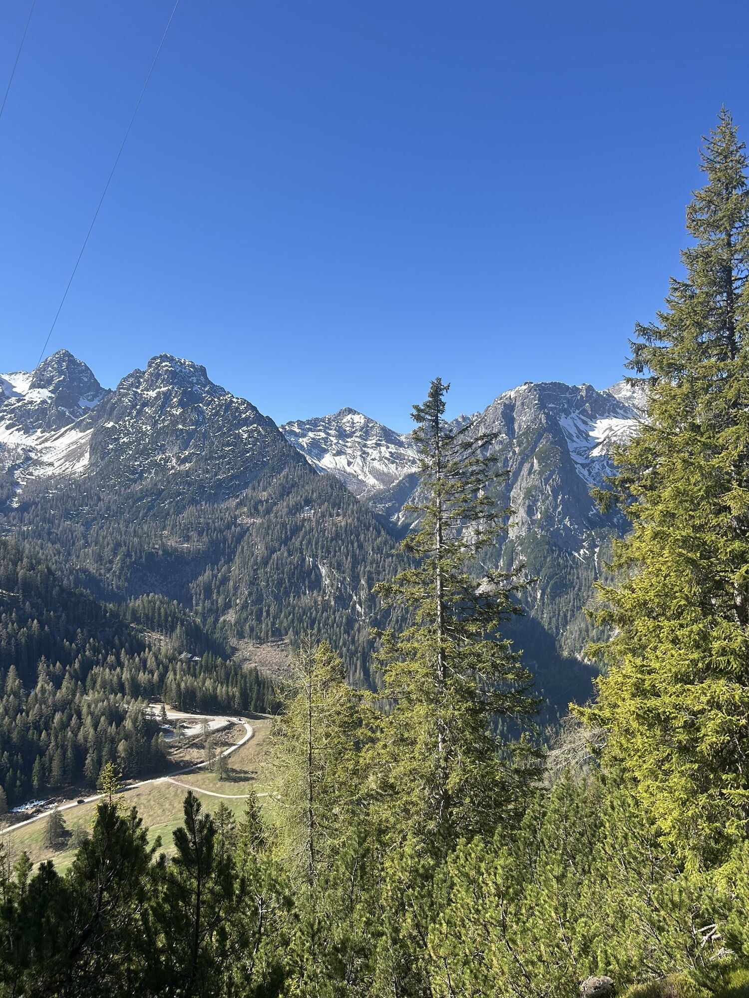
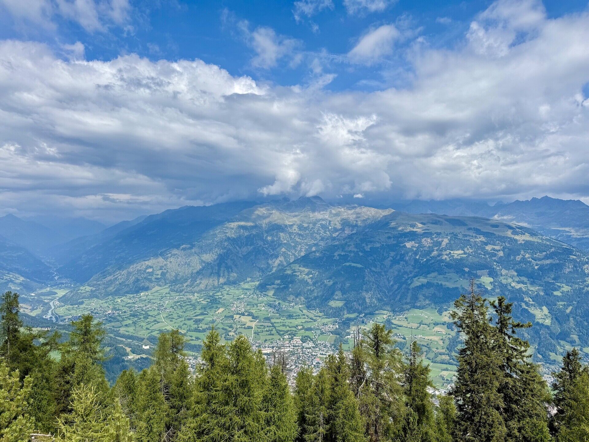
In the south of Lienz rises the Rauchkofel with its transmission mast, visible from afar. At around 1,900 metres, it towers above the surrounding mountains, but the summit is well worth the effort. Once you reach the top, you are rewarded with impressive views in all directions: from the Pustertal Valley to the Iseltal Valley, across the Lienz valley floor to the Mölltal and Drautal valleys, and in particular the peaks of the Lienz Dolomites in the south and the Schober Group in the north.
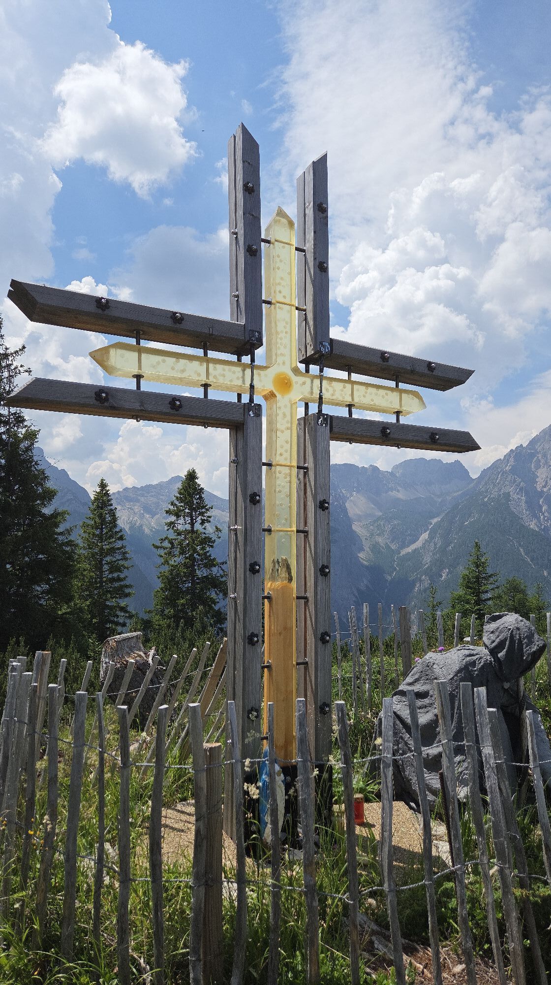
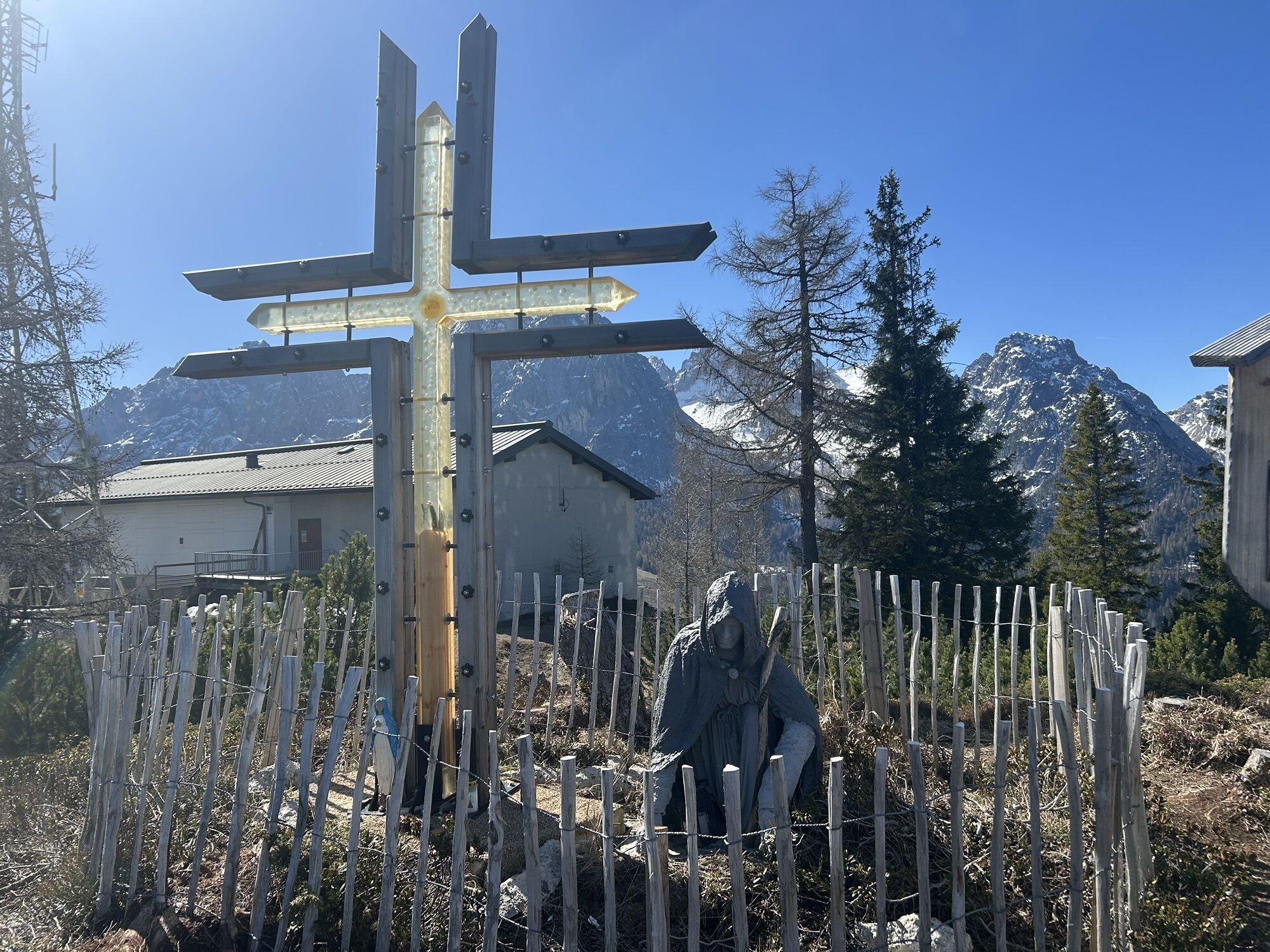
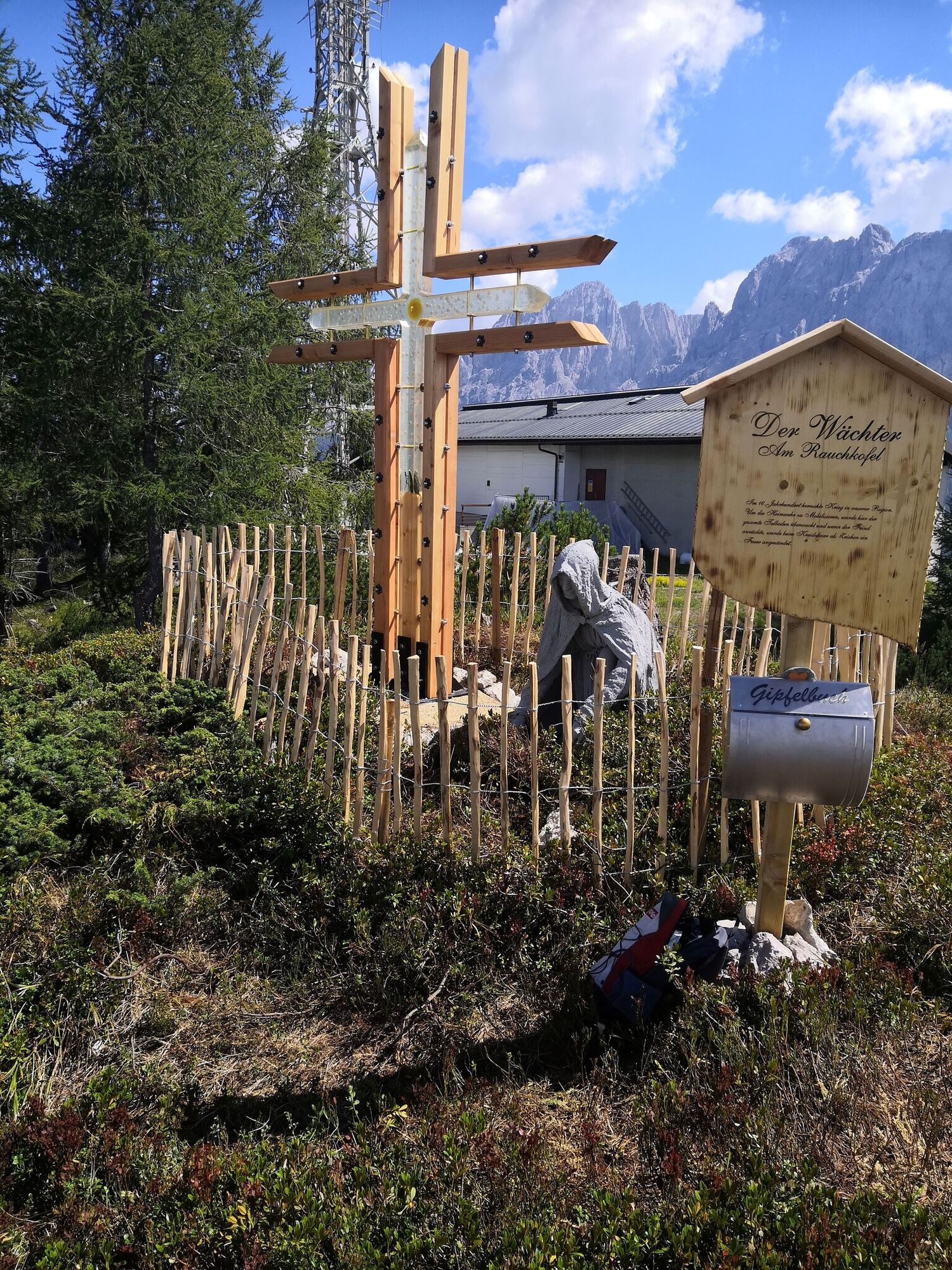
Once you reach the top, you will find a seating area, a table and information boards. Not long ago, an artistically designed cross made of larch wood was also erected there, with a guardian kneeling in front of it, representing the story behind the ‘Kreidenfeuer’ (chalk fire).
Once you reach the top, you will find a seating area, a table and information boards. Not long ago, an artistically designed cross made of larch wood was also erected there, with a guardian kneeling in front of it, representing the story behind the ‘Kreidenfeuer’ (chalk fire).
Trasa

Ostatnio śledzony
3 dni temu

Informacje o trasie
Trasa
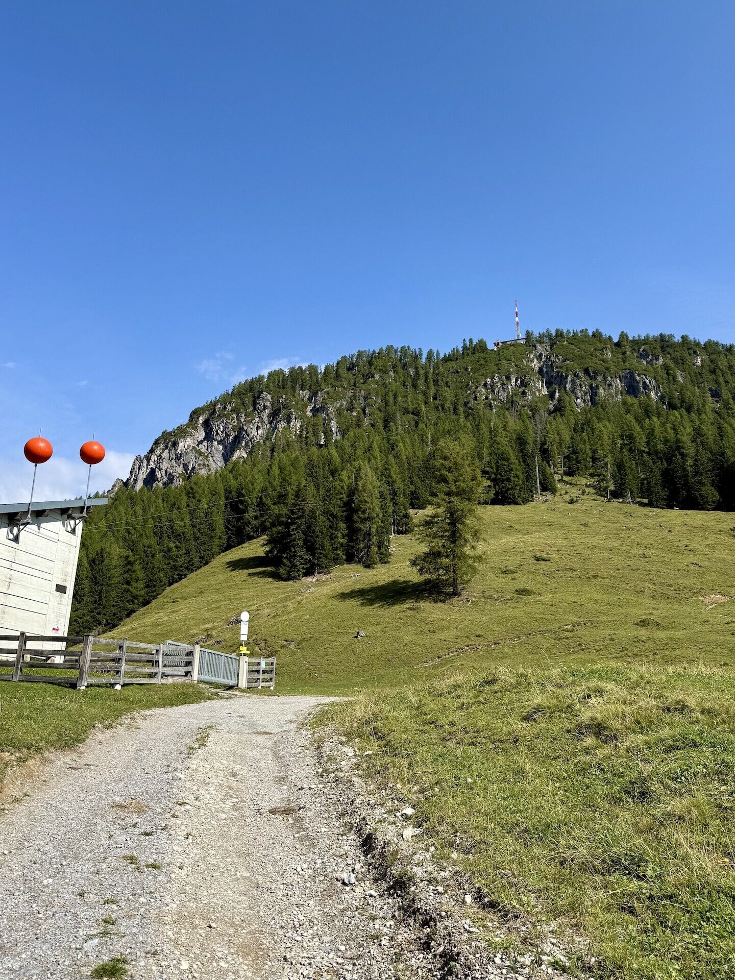
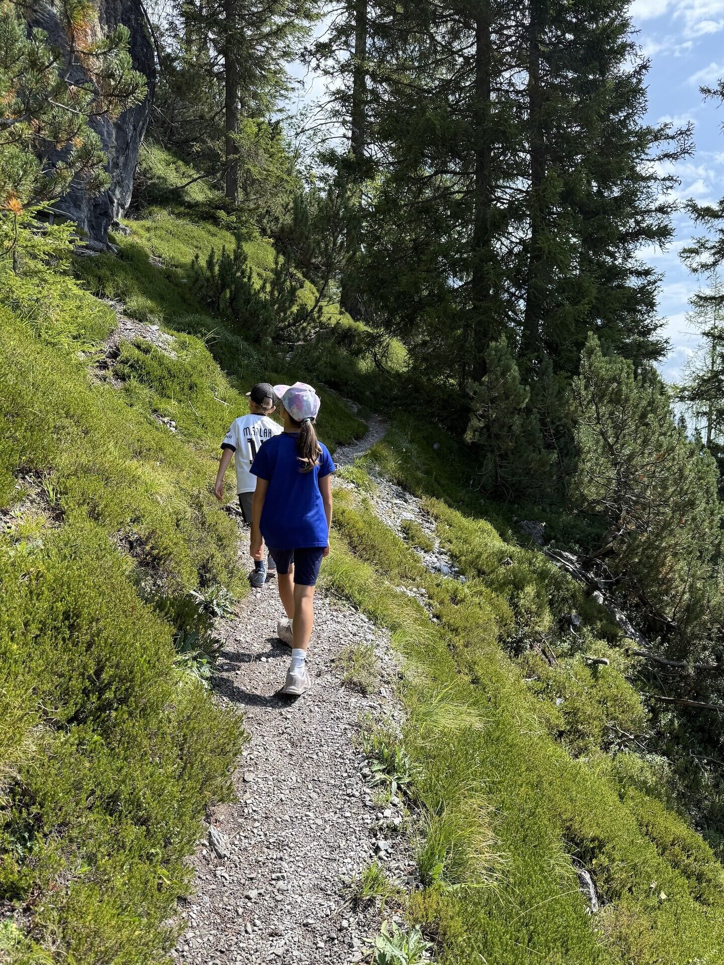
From the valley station of the material cable car, you enter a gradually steepening path on the left-hand side, which is going up to the summit of the Rauchkofel, partly via wooden steps.
Informacje o przyjeździe
Przybycie
By car or hiking bus via the Dolomitenstraße (toll road) to the Dolomitenhütte
Transport publiczny
Hiking bus Lienzer Dolomites (June to September)
Parking
Parking area Dolomitenhütte
Wyceny
 Uzyskaj wgląd
Zawsze na żywo z ponad 9 500 kamer internetowych. bergfex Jako użytkownik Pro, możesz teraz zobaczyć odpowiednie kamery internetowe dla wielu wycieczek w aplikacji wycieczki od. Pozwala to na bezpośredni podgląd aktualnych warunków.
Uzyskaj wgląd
Zawsze na żywo z ponad 9 500 kamer internetowych. bergfex Jako użytkownik Pro, możesz teraz zobaczyć odpowiednie kamery internetowe dla wielu wycieczek w aplikacji wycieczki od. Pozwala to na bezpośredni podgląd aktualnych warunków.


Popularne wycieczki w okolicy
-
5,0
Ederplan round from the parking lot Stronach
średniWędrówka 7,19 km -
4,9
Wangennitzsee Hütte
średniWędrówka 3,80 km -
4,7
Karlsbader Hütte über Rudl-Eller-Weg
ciężkiWędrówka 5,10 km -
4,8
Pirknerklamm (C)
średniVia ferrata 2 km -
4,8
Lienzer Dolomiten-Lasertörl
średniWędrówka 13,2 km -
4,7
Obergail - Obergailer Alm - Obergailer Lake - Enderberg hut - Source for Health & Peace - Madonna circular hiking route - Obergail
średniWędrówka 11,4 km -
4,0
Karlsbader Hütte - Lienzer Dolomiten
Wędrówka 8 km -
4,6
Karlsbader Hütte
średniMountainbike 13,4 km -
4,2
Straßkopf
średniWędrówka 4,06 km -
4,3
Connyalm (2.070 m)
Wędrówka 6,36 km
Wędrówki i tropienie

Ponad 550.000 propozycji wycieczek, szczegółowe mapy i intuicyjny planer tras sprawiają, że aplikacja jest niezbędna dla wszystkich entuzjastów przyrody.

Nie przegap ofert i inspiracji na następne wakacje
Zapisz się do newslettera
Błąd
Wystąpił błąd. Spróbuj ponownie.
Dziękujemy za rejestrację
Twój adres e-mail została dodana do listy mailingowej.
Wycieczki po całej Europie
Austria
Szwajcaria
Niemcy
Włochy
Słowenię
Francja
Holandia
Belgia
Polska
Liechtenstein
Czechy
Słowacja
Hiszpania
Chorwacja
Bośnia i Hercegowina
Luksemburg
Andorra
Portugalia
Islandia
Wielka Brytania
Irlandia
Grecja
Albania
Macedonia Północna
Malta
Norwegia
Czarnogóra
Mołdawia
Kosowo
Węgry
San Marino
Rumunia
Estonia
Łotwa
Białoruś
Cypr
Litwa
Serbia
Bułgaria
Monako
Dania
Szwecja
Finlandia





