







Gaislachalm
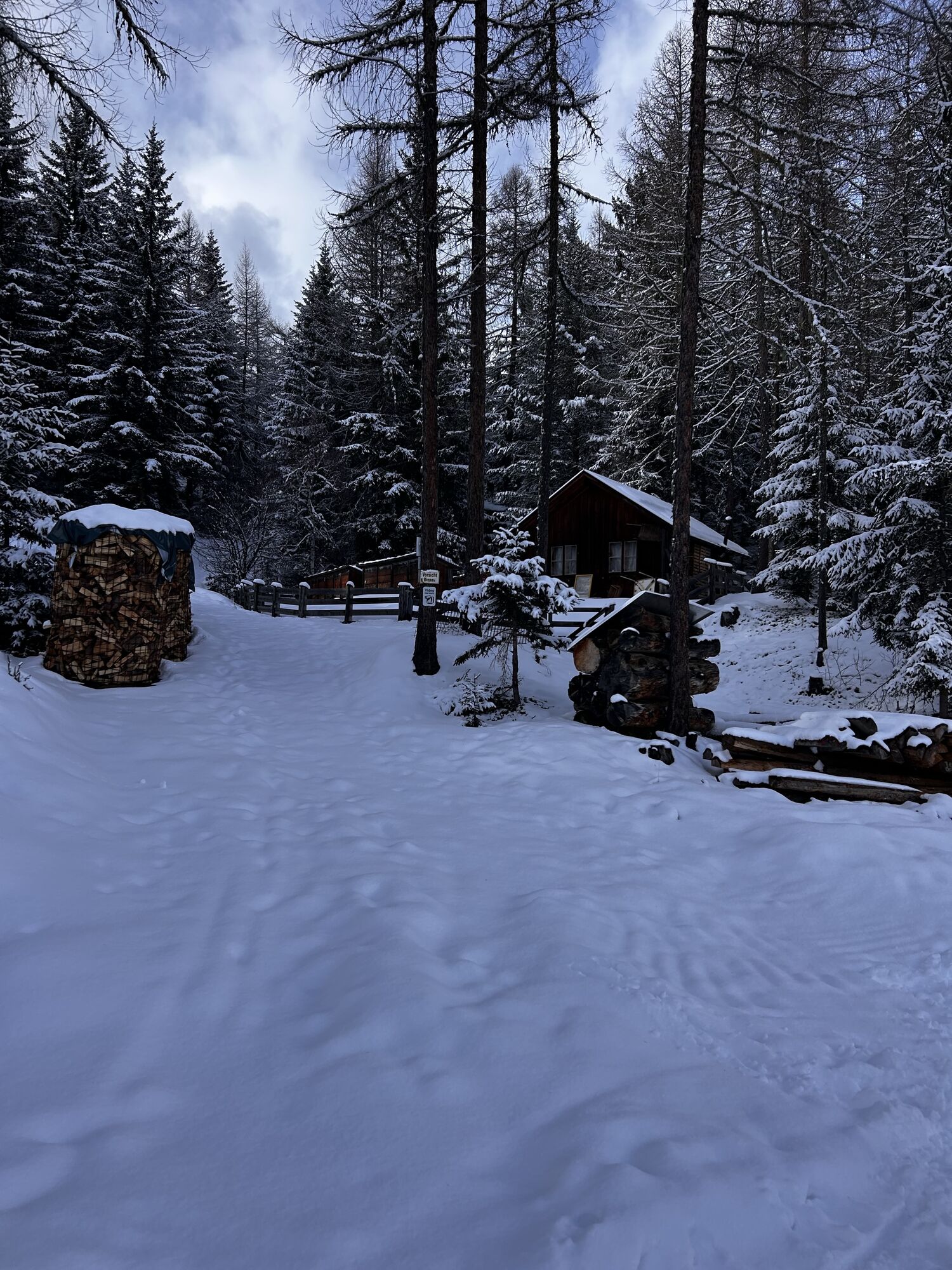
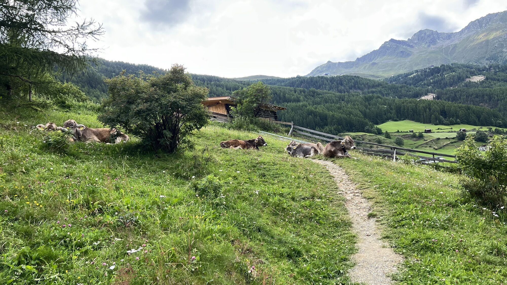
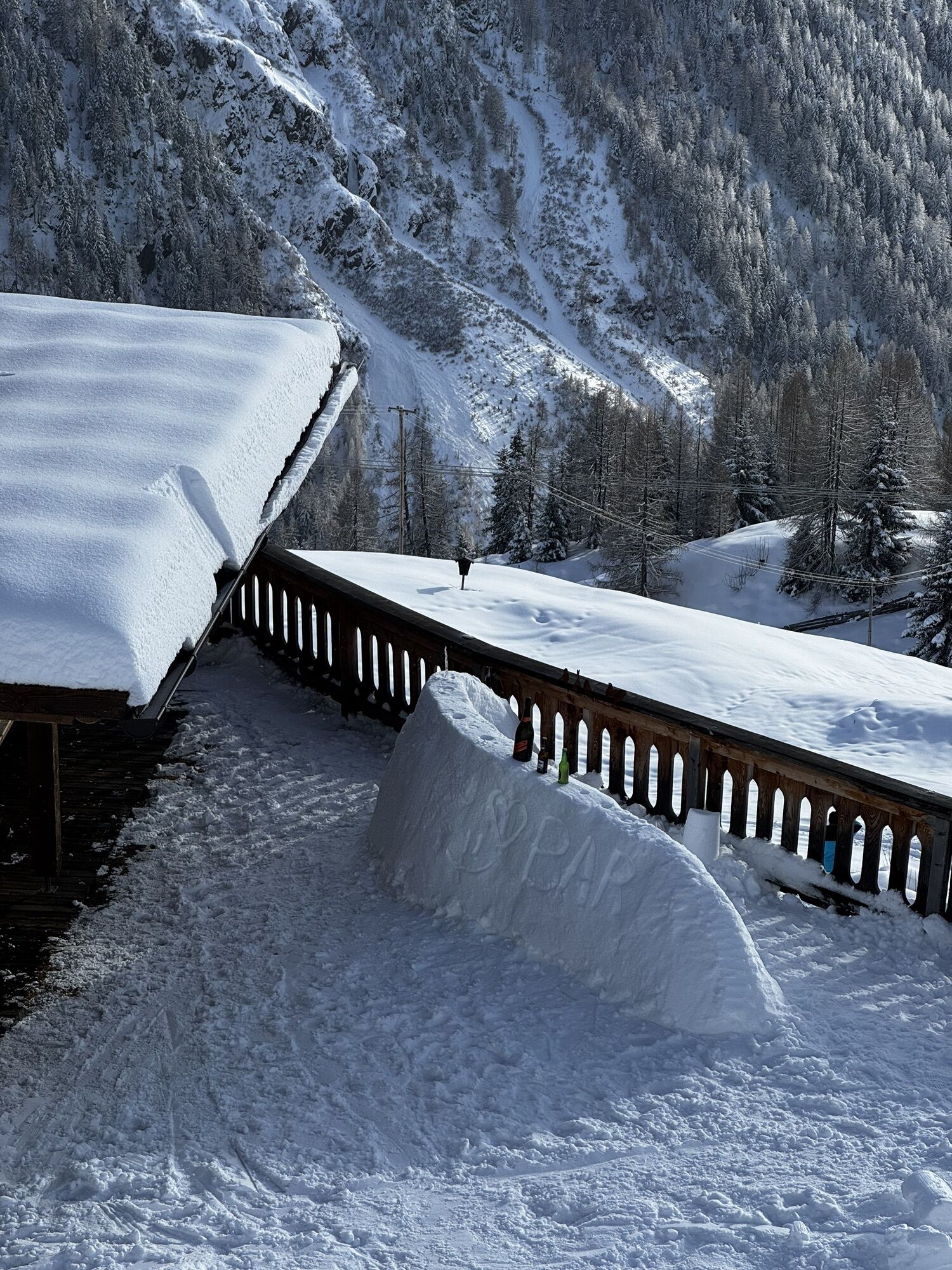
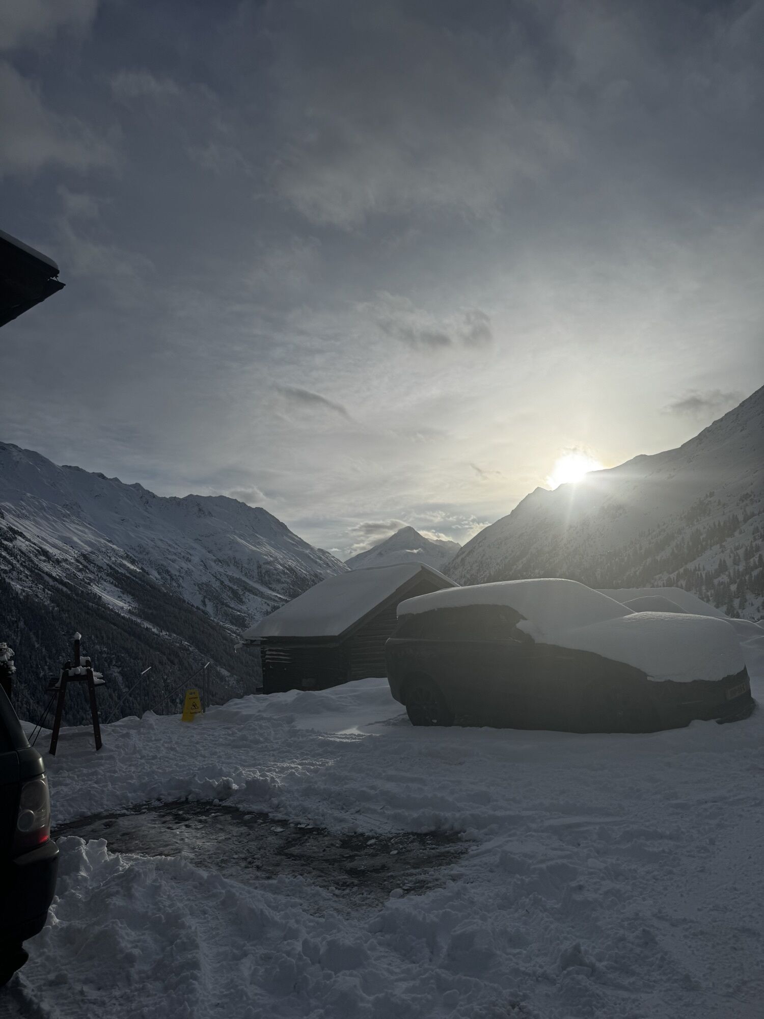
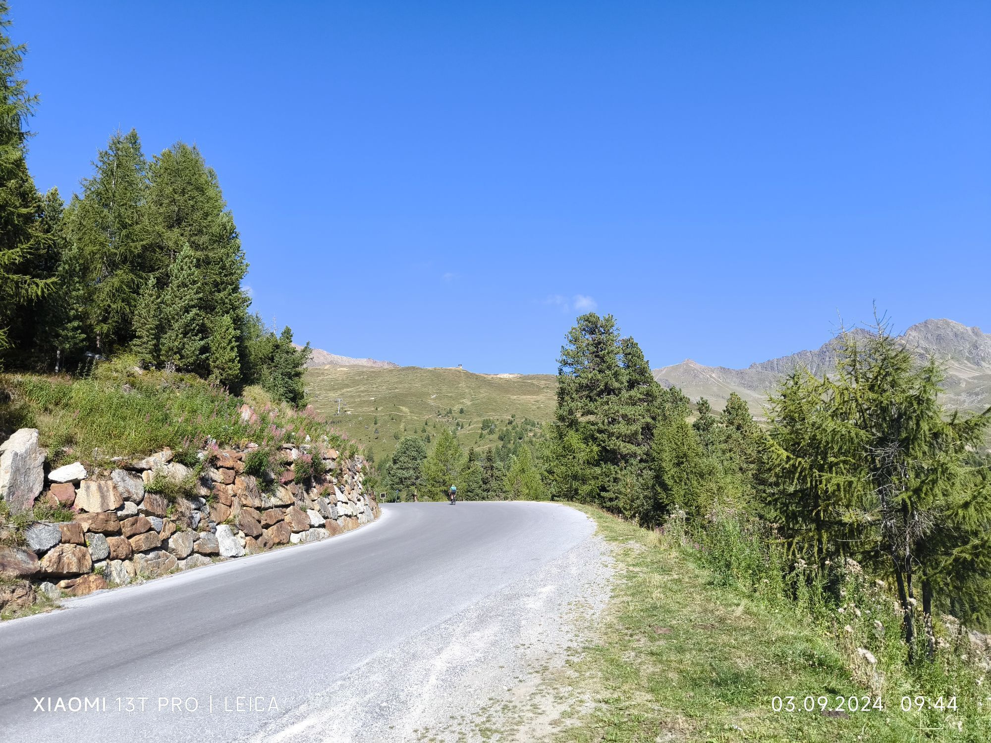
From Sölden, conveniently with the Zentrum Shuttle or via the hiking trail by the church past the hamlet of Innerwald. At the small chapel in Innerwald, a small path runs along the mountain meadows towards...
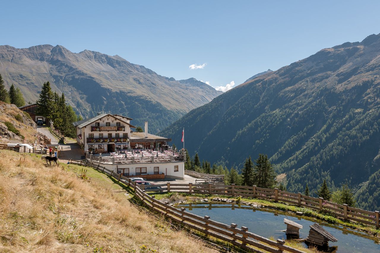
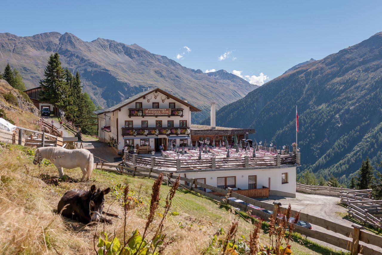
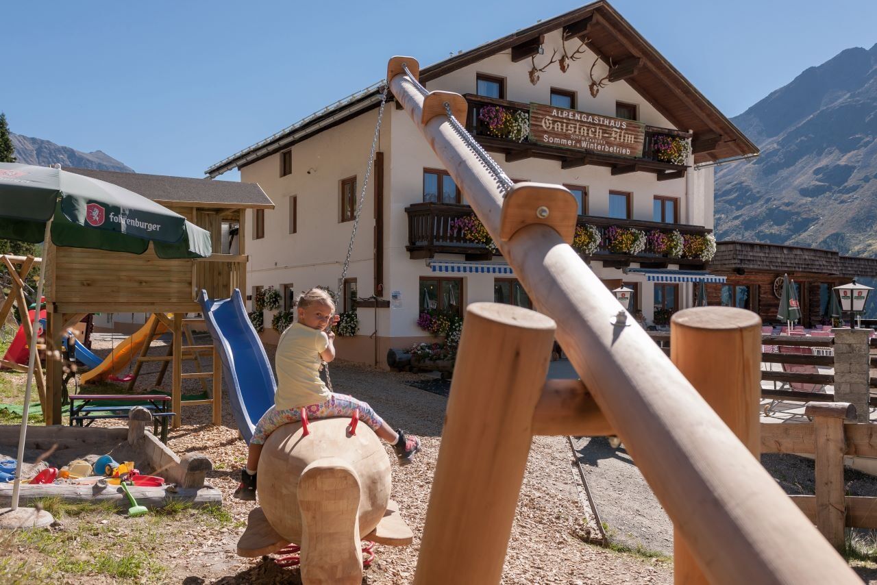
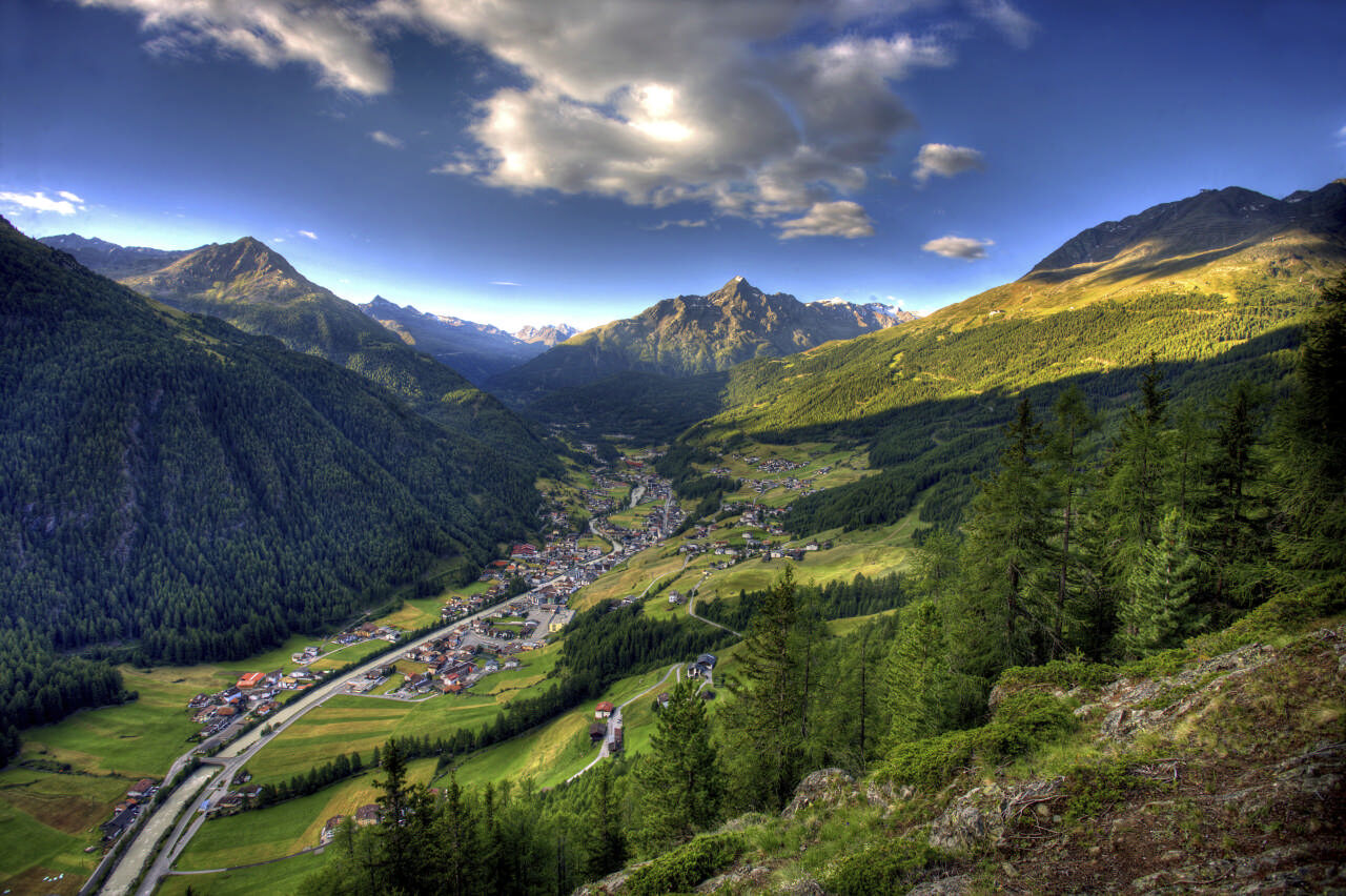
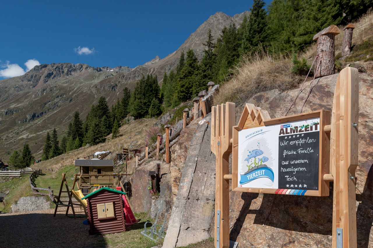
From Sölden, conveniently with the Zentrum Shuttle or via the hiking trail by the church past the hamlet of Innerwald. At the small chapel in Innerwald, a small path runs along the mountain meadows towards Stiegele. From Stiegele, it then goes leisurely along the wide forest road towards Gaislach Alm. The hike to the alpine guesthouse Gaislachalm is a leisurely hike for the whole family. The Gaislachalm is a rustic guesthouse with a small petting zoo for the children. The view into the Ventertal is breathtaking.


Family-friendly hike to the Gaislachalm
The hike to the Gaislachalm is a leisurely excursion for the whole family – ideal for enjoying nature, the view, and a cozy stop. You have two routes to choose from:
Option 1: From Sölden, you can easily reach the hamlet of Innerwald by the Zentrum Shuttle or on foot via the hiking trail (start at the church). Behind the small chapel in Innerwald, a narrow path branches off along the mountain meadows towards Stiegele. From there, follow the wide forest road with a gentle ascent to Gaislachalm.
Option 2: Alternatively, you can take the Gaislachkogl cable car to the middle station. From there, keep left and hike on a well-marked path directly to the Gaislachalm.
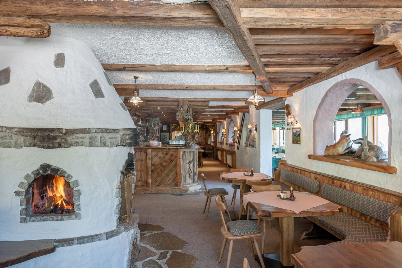
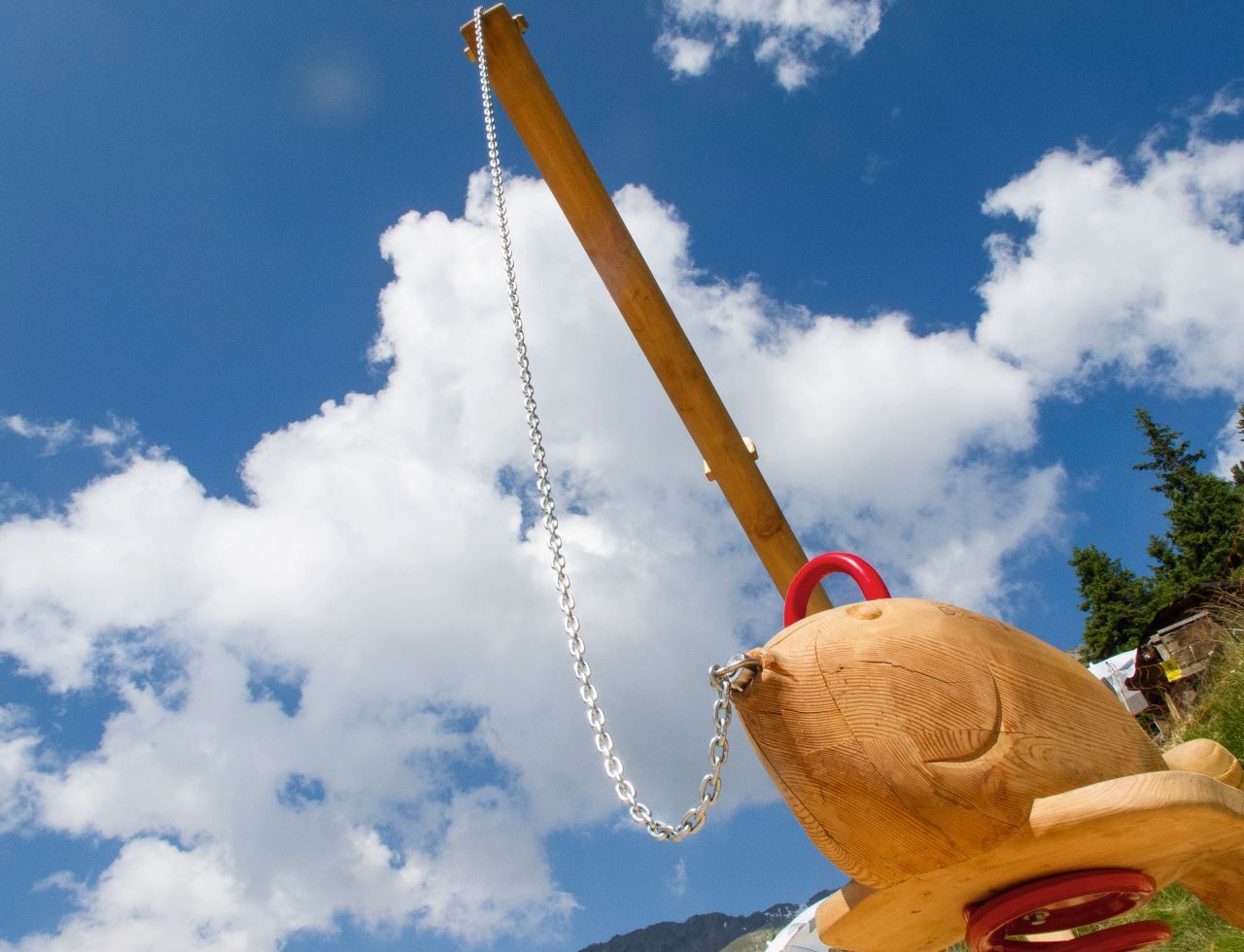
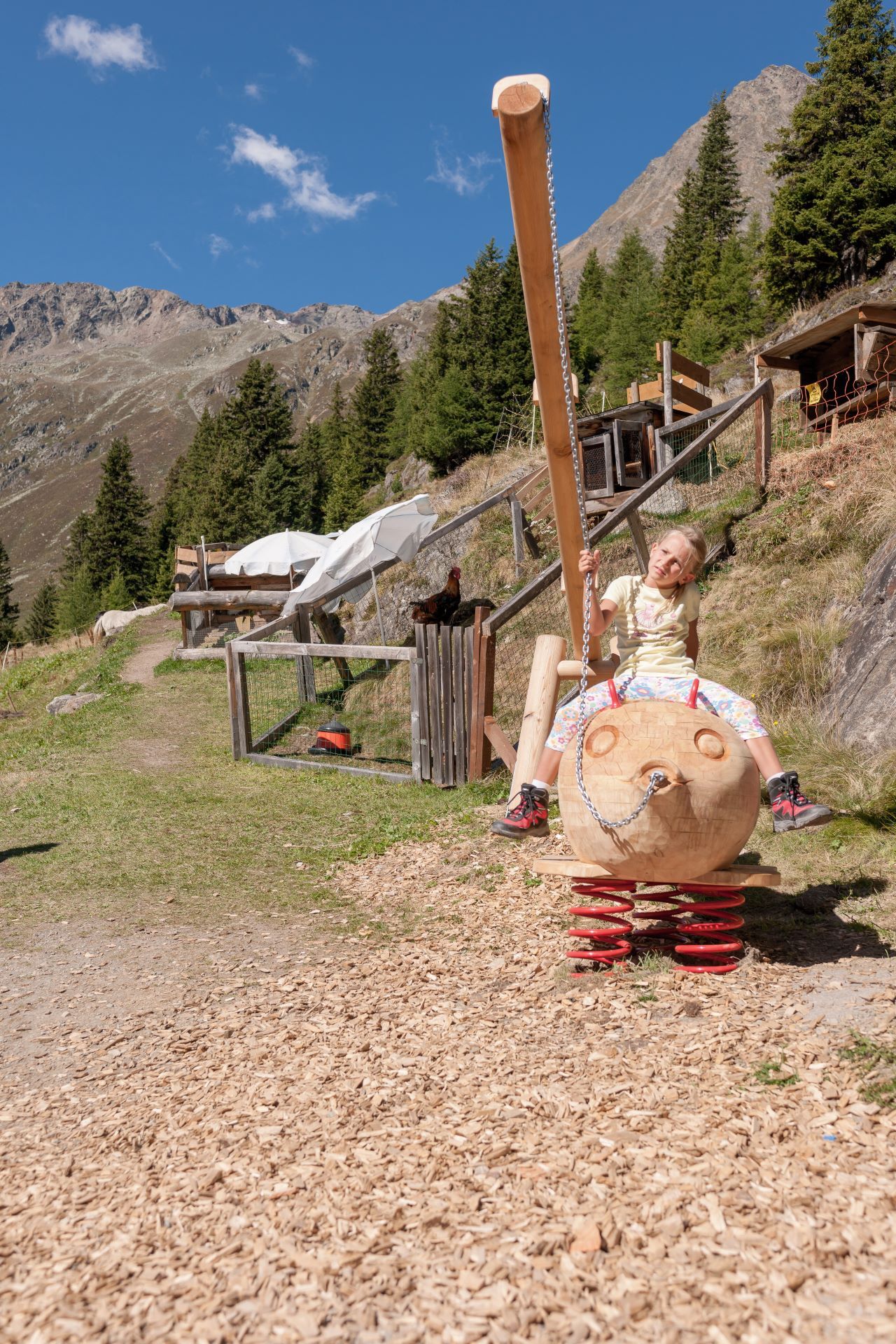
The Gaislachalm is a traditional alpine guesthouse with a cozy atmosphere, regional cuisine, and a small petting zoo – especially popular with children.
It also offers a breathtaking view of the Ventertal, making this excursion a special experience.
Tak
Appropriate equipment such as breathable and weather-appropriate outdoor clothing, ankle-high hiking boots, wind, rain and sun protection, a hat, possibly gloves, is required for all hikes and tours. Carrying a first aid kit, a mobile phone, and possibly a hiking map, as well as sufficient provisions for hikes without stopping opportunities, is necessary.
Easy hiking trail:
suitable for beginners and walkers.
Please note the current weather report at: https://www.oetztal.com/de/sommer.html
The car ride to ÖTZTAL. Located in Tyrol, the ÖTZTAL branches southwards as the longest side valley of the Eastern Alps. Travelers arrive by car via the Inn valley to the valley entrance and further along the Ötztal valley. Besides the toll highway, country roads can also be used. Your drive can be quickly and conveniently planned with the route planner: To the route planner: https://www.google.at/maps
Travel comfortably and safely by train to the Ötztal railway station. The final station or exit point is ÖTZTAL station. Afterwards, you can travel conveniently and quickly by public transport or local taxi services through the entire valley to your desired destination. The current bus schedule is available at: http://fahrplan.vvt.at
In Sölden, the following parking options are available:
Postplatz parking lot Stiegele parking lot Step parking lot Giggijoch cable car + underground garage Gaislachkogl cable car + underground garage Hochsölden parking lot Hochsölden parking garage, 1st deckThe parking lots are chargeable.
For multi-day parking (e.g., hut tours):
Parking ticket either online or directly at the Gaislachkogl cable car ticket officeMore info about hiking in the Ötztal: https://www.oetztal.com/wandern
The Zentrum shuttle is also open in summer, making it easy to cover the first altitude meters comfortably.
Kamery internetowe z trasy
-
Seekogel
-
Gaislachkogel
-
Sölden - Tiefenbachferner Tal
-
Sölden - Rettenbachferner
-
Sölden - Hochsölden
-
Sölden - Grünwald Resort
-
Top Mountain Crosspoint Hochgurgl
-
Sölden - Grünwald Resort
-
Giggijoch
-
Giggijoch
-
Sölden - Gaislachkogelbahn Mittelstation
-
Sölden - Schwarzkogl Talstation
-
Hochstubaihütte
-
Hochstubaihütte
-
Sölden Ort
-
The Peak Sölden**** Chalets und Appartements
Uzyskaj wgląd
Zawsze na żywo z ponad 9 500 kamer internetowych. bergfex Jako użytkownik Pro, możesz teraz zobaczyć odpowiednie kamery internetowe dla wielu wycieczek w aplikacji wycieczki od. Pozwala to na bezpośredni podgląd aktualnych warunków.
Popularne wycieczki w okolicy
-
4,7
Winnebachsee Hut – Längenfeld/Gries
średniWędrówka 4,74 km -
4,7
Winter circular route Brandalm/Burgstein - Längenfeld 204
średniWędrówka zimą 5,44 km -
4,5
Vent - Wilder Mann - Breslauer Hütte - Stableinalm
średniWędrówka 7,25 km -
4,8
Wilde Wasser Weg - Fortgeschritten
średniWędrówka 12,0 km -
4,4
Rundwanderung Hängebrück3
światłoWędrówka 6,32 km -
5,0
Dresdner hütte - sulzenauerhütte
średniWędrówka 12,1 km -
4,3
Amberger Hut - Längenfeld/Gries
średniWędrówka 5,60 km -
4,4
Hochtour Wildspitze, 3.768m
średniWycieczka wysokogórska 9,75 km -
3,8
Breslauer Hut
średniWędrówka 4,75 km -
4,3
Hohe Geige über Gawinden und den Westgrat
ciężkiWędrówka 14,3 km
Wędrówki i tropienie


Nie przegap ofert i inspiracji na następne wakacje
Twój adres e-mail została dodana do listy mailingowej.





