


Fieberbrunner Höhenweg
Zdjęcia naszych użytkowników
-
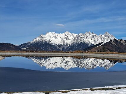
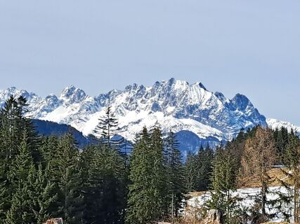
 © Harrie NijhuisUtworzono dnia 21.02.2024
 -
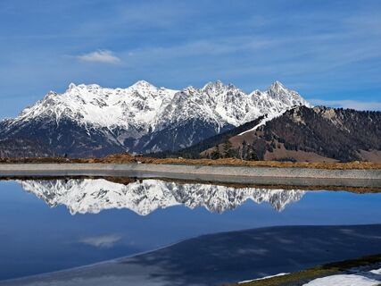
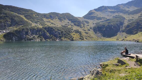
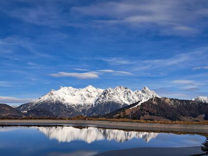
 © Roland MorthUtworzono dnia 01.11.2025
 -
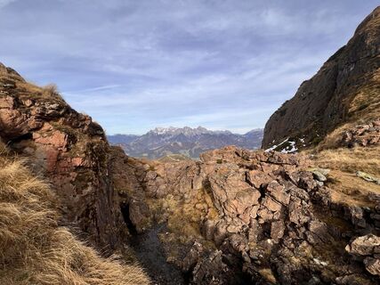
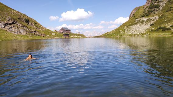
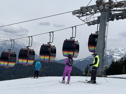
 © Michael RohrmoserUtworzono dnia 21.09.2025
 -
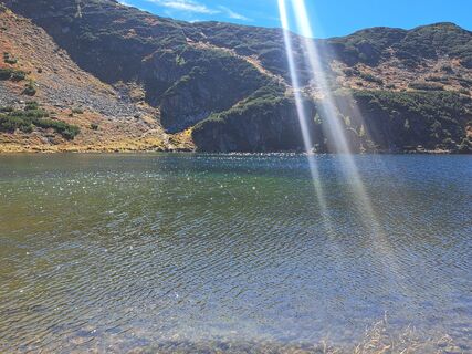
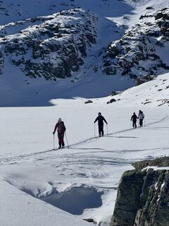
 © Philipp RößlerUtworzono dnia 16.09.2025
 -
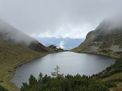
 © Philipp RößlerUtworzono dnia 16.09.2025
 -
 © Philipp RößlerUtworzono dnia 16.09.2025
 -
 © Philipp RößlerUtworzono dnia 16.09.2025
 -
 © Philipp RößlerUtworzono dnia 16.09.2025
 -
 © Philipp RößlerUtworzono dnia 16.09.2025
 -
 © Philipp RößlerUtworzono dnia 16.09.2025
 -
 © Philipp RößlerUtworzono dnia 16.09.2025
 -
 © Philipp RößlerUtworzono dnia 16.09.2025
 -
 © Philipp RößlerUtworzono dnia 16.09.2025
 -
 © Philipp RößlerUtworzono dnia 16.09.2025
 -
 © Philipp RößlerUtworzono dnia 16.09.2025
 -
 © Philipp RößlerUtworzono dnia 16.09.2025
 -
 © Philipp RößlerUtworzono dnia 16.09.2025
 -
 © I Breitler60Utworzono dnia 01.09.2025
 -
 © I Breitler60Utworzono dnia 01.09.2025
 -
 © Christiane PappUtworzono dnia 18.08.2025
 -
 © Christiane PappUtworzono dnia 18.08.2025
 -
 © Christiane PappUtworzono dnia 18.08.2025
 -
 © Christiane PappUtworzono dnia 18.08.2025
 -
 © Christiane PappUtworzono dnia 18.08.2025
 -
 © Willy 11Utworzono dnia 17.08.2025
 -
 © Grieshofer GerlindeUtworzono dnia 18.07.2025
 -
 © Grieshofer GerlindeUtworzono dnia 18.07.2025
 -
 © Grieshofer GerlindeUtworzono dnia 18.07.2025
 -
 © Grieshofer GerlindeUtworzono dnia 18.07.2025
 -
 © Grieshofer GerlindeUtworzono dnia 18.07.2025
 -
 © Grieshofer GerlindeUtworzono dnia 18.07.2025
 -
 © Grieshofer GerlindeUtworzono dnia 18.07.2025
 -
 © SumyaUtworzono dnia 20.06.2025
 -
 © Philipp RößlerUtworzono dnia 22.09.2024
 -
 © Philipp RößlerUtworzono dnia 22.09.2024
 -
 © clmorfeldUtworzono dnia 22.08.2023
 -
 © clmorfeldUtworzono dnia 22.08.2023
 -
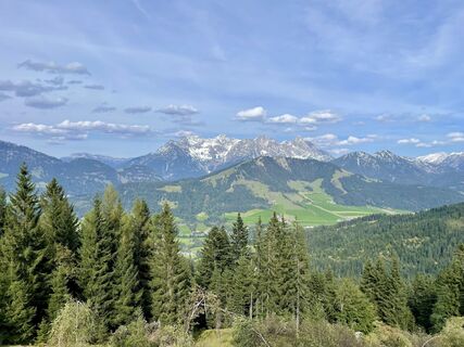
 © Harrie NijhuisUtworzono dnia 21.02.2024
 -
 © Harrie NijhuisUtworzono dnia 21.02.2024
 -
 © Harrie NijhuisUtworzono dnia 21.02.2024
 -
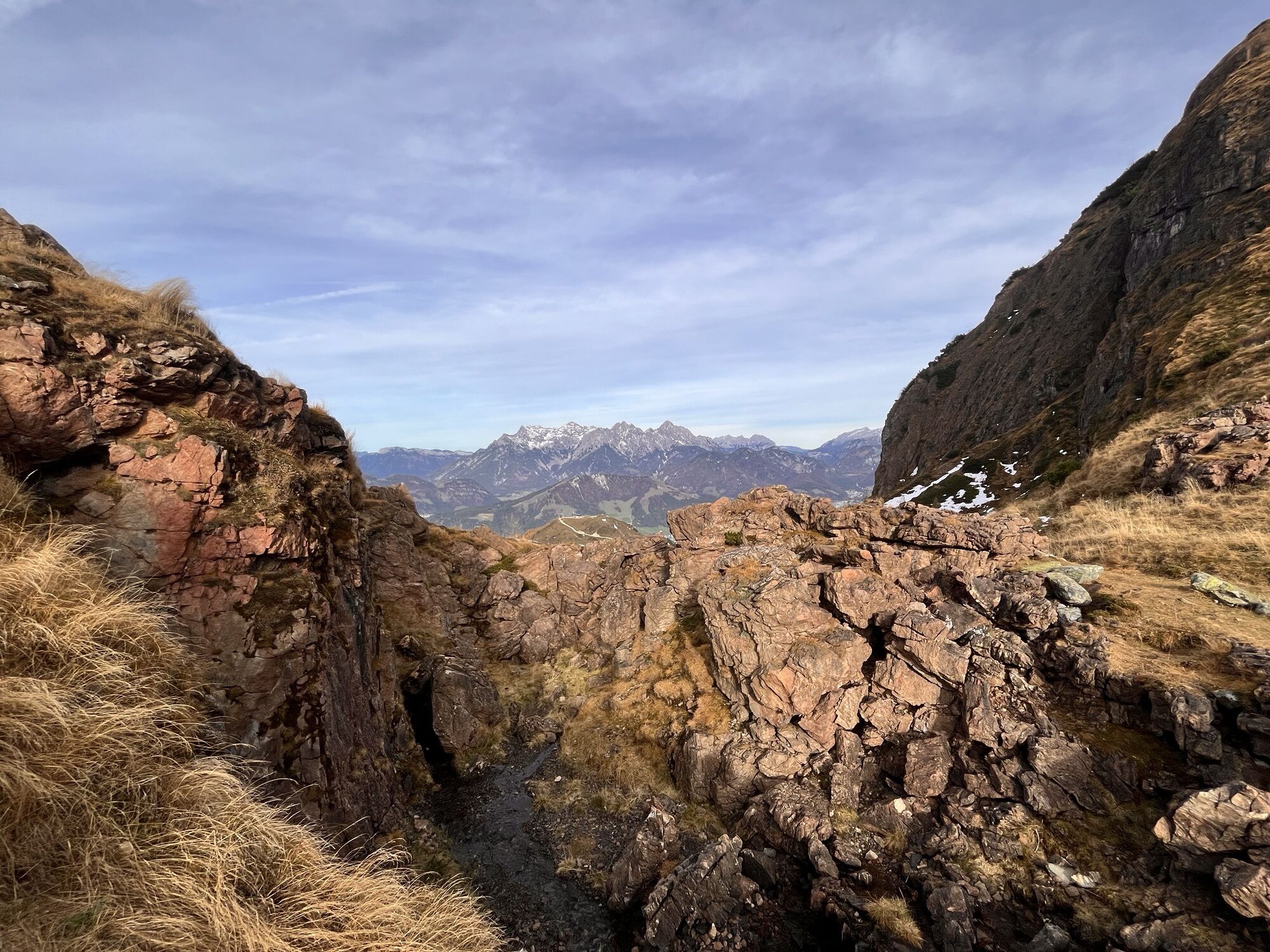
 © Bruno BeckUtworzono dnia 07.04.2023
 -

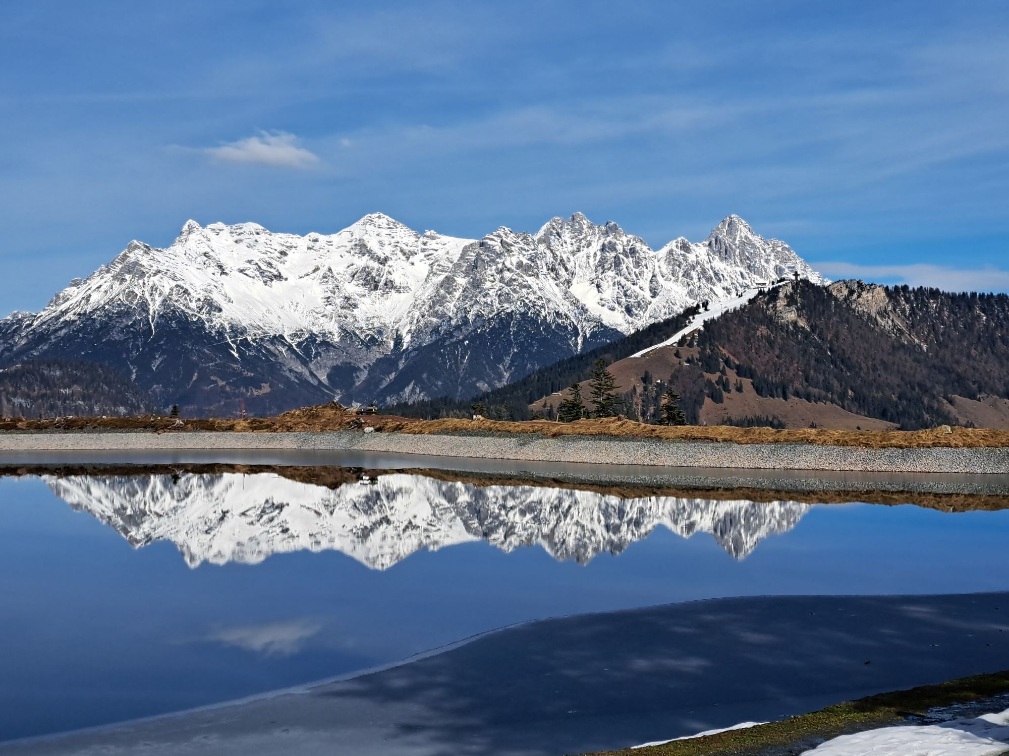
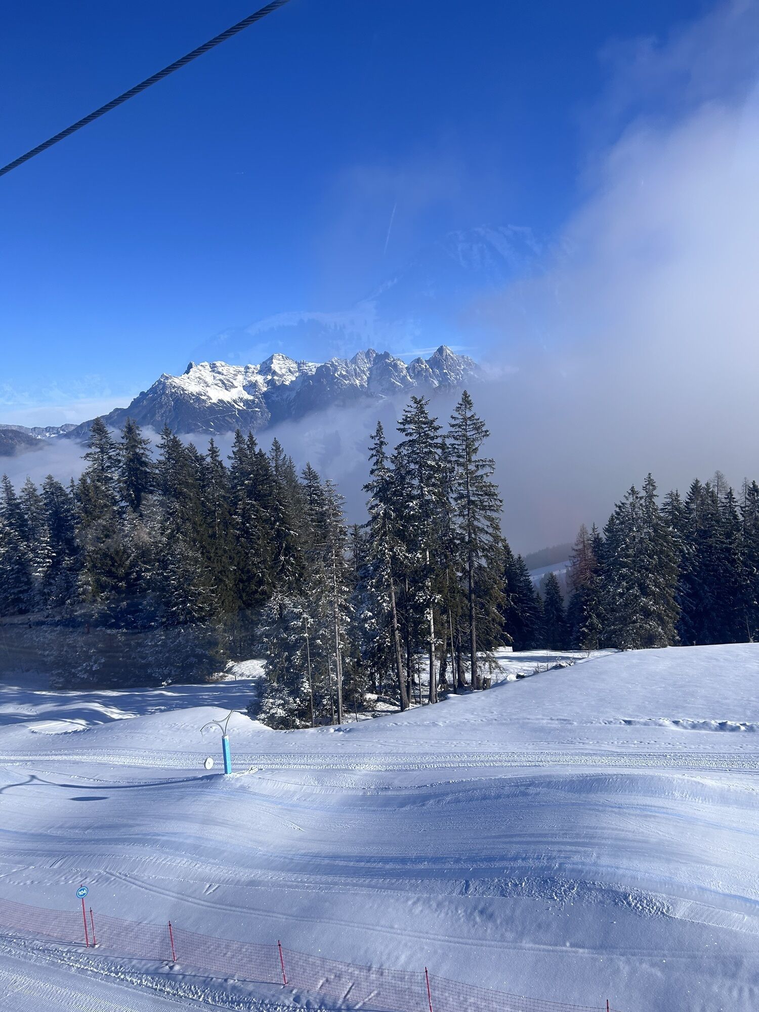
 © LukeSkywalkerUtworzono dnia 05.04.2026
 -

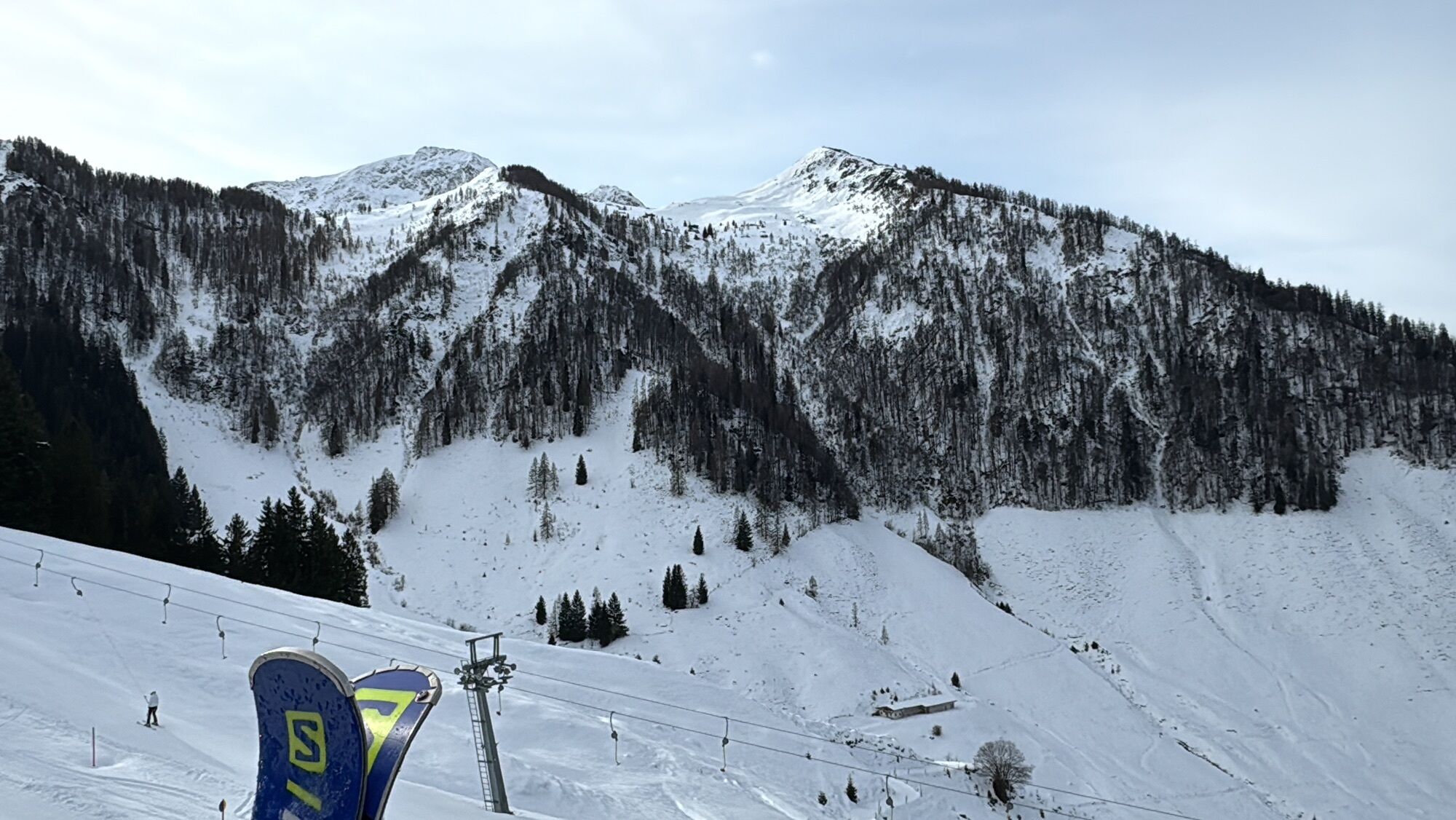
 © Jared CannonUtworzono dnia 30.01.2026
 -
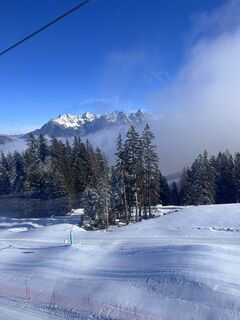
 © Kilian FrühaufUtworzono dnia 30.01.2026
 -
 © Kilian FrühaufUtworzono dnia 30.01.2026
 -
 © Jared CannonUtworzono dnia 30.01.2026
 -
 © Jared CannonUtworzono dnia 30.01.2026
 -

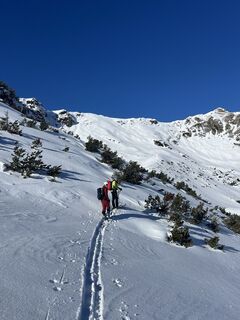
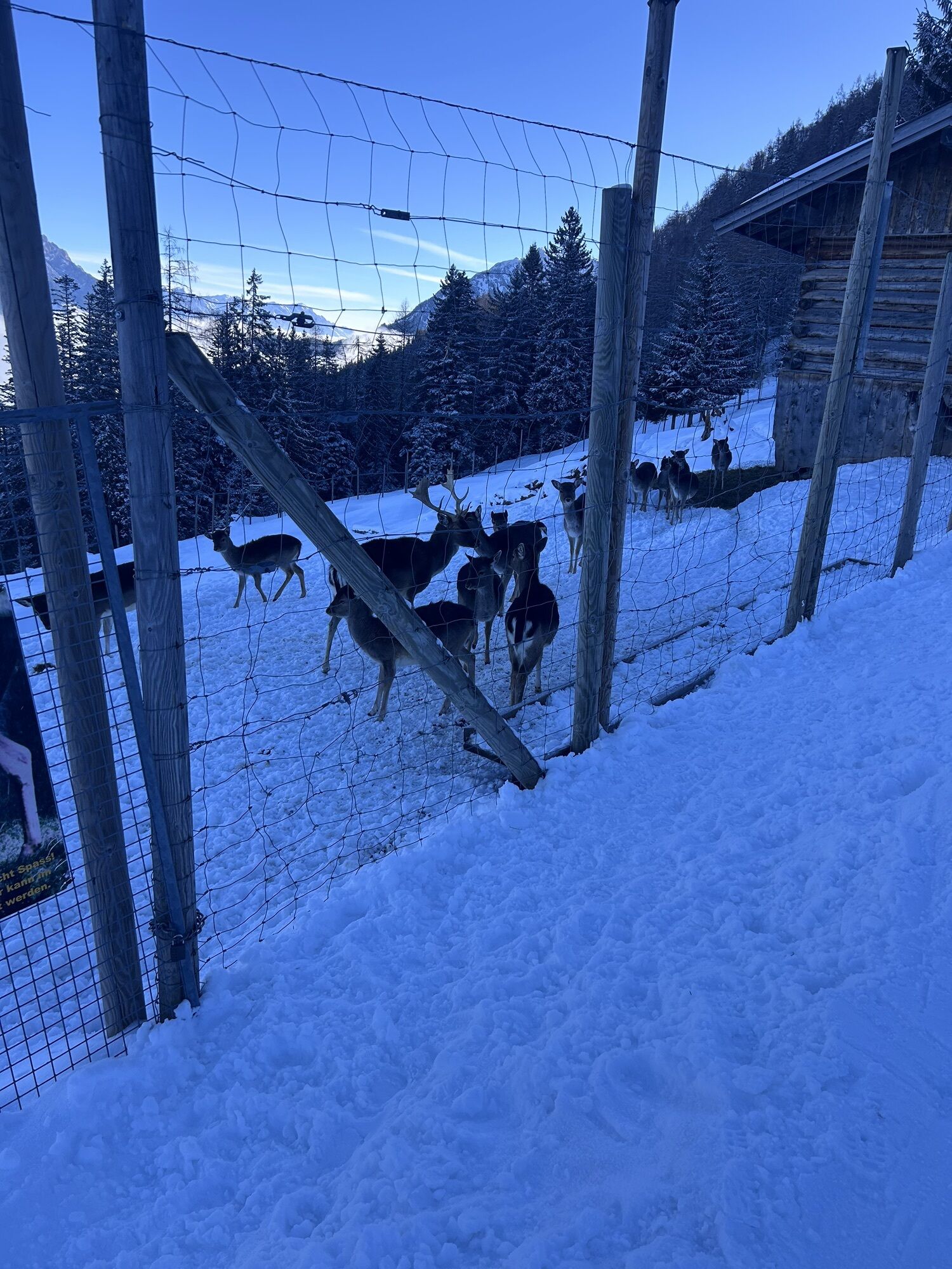
 © Arno LoiblUtworzono dnia 15.01.2026


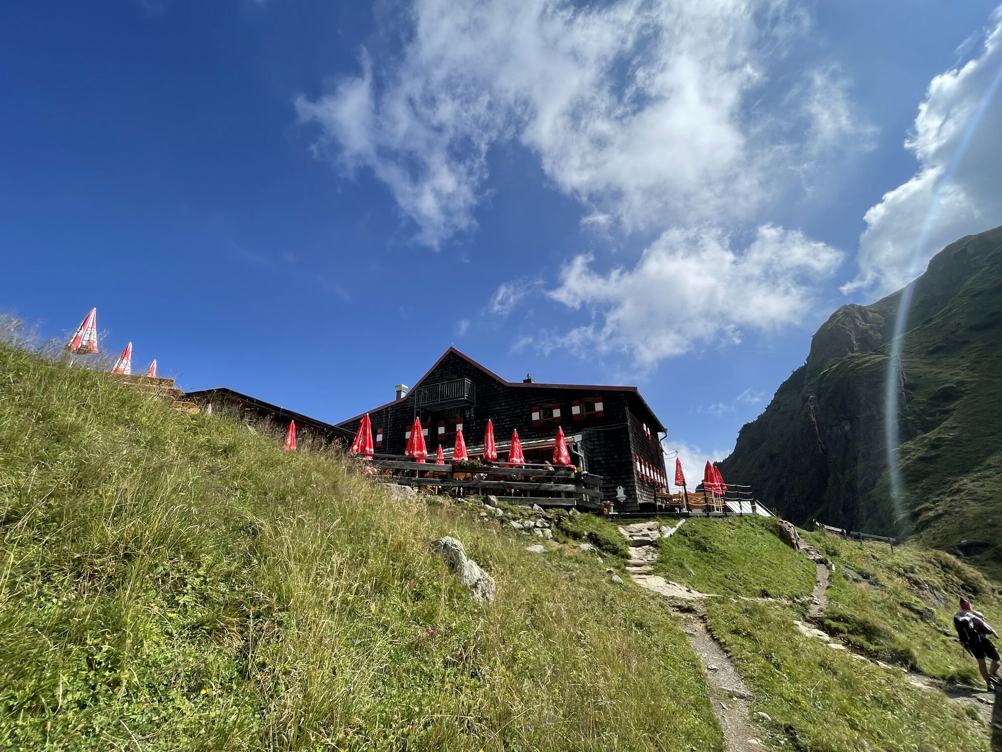


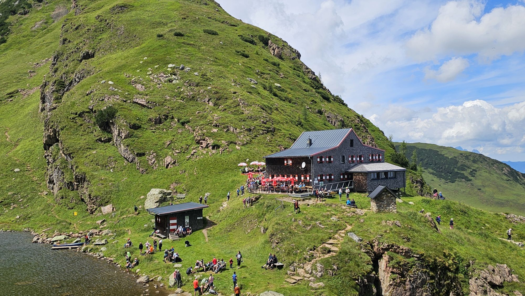


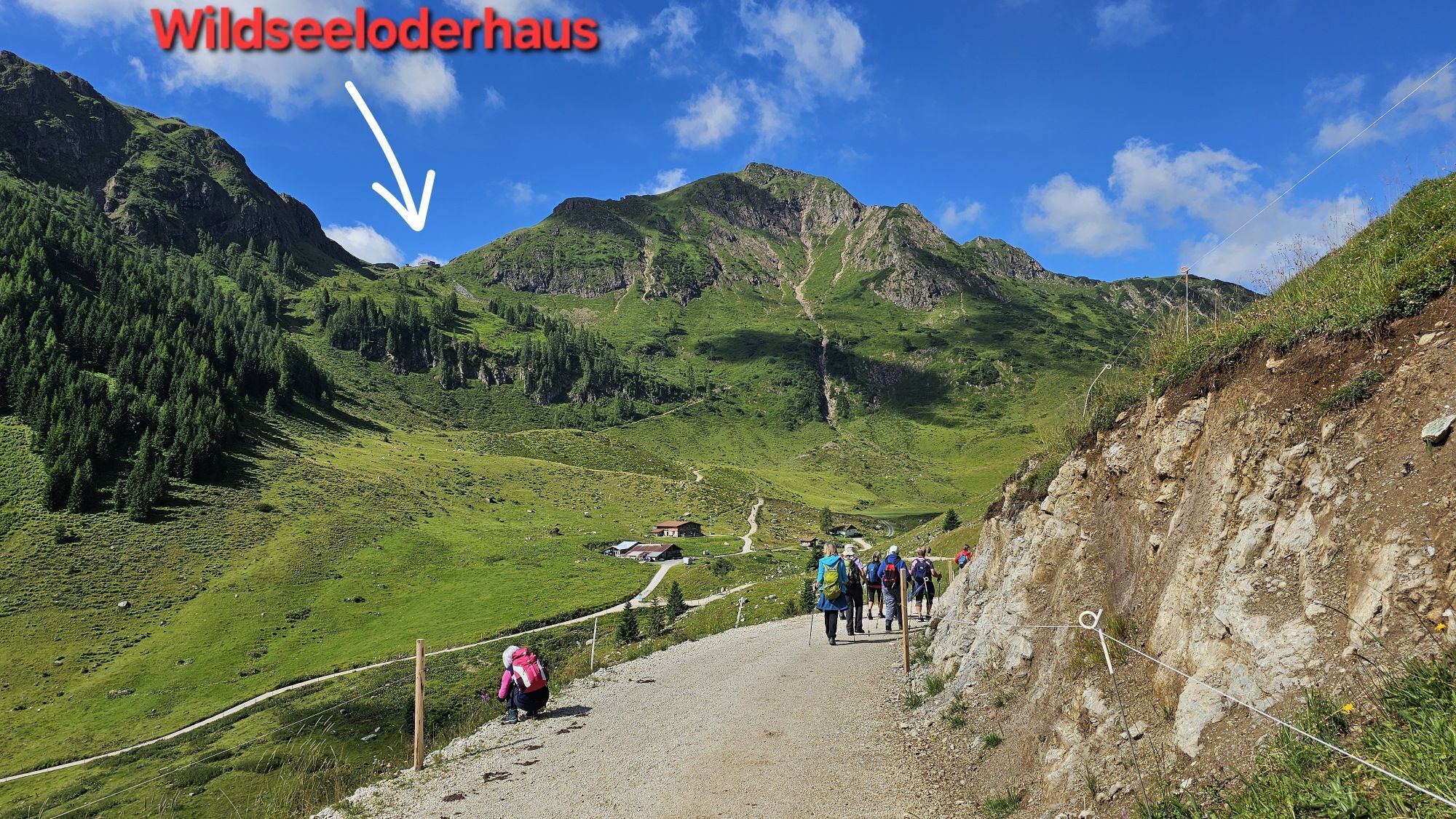

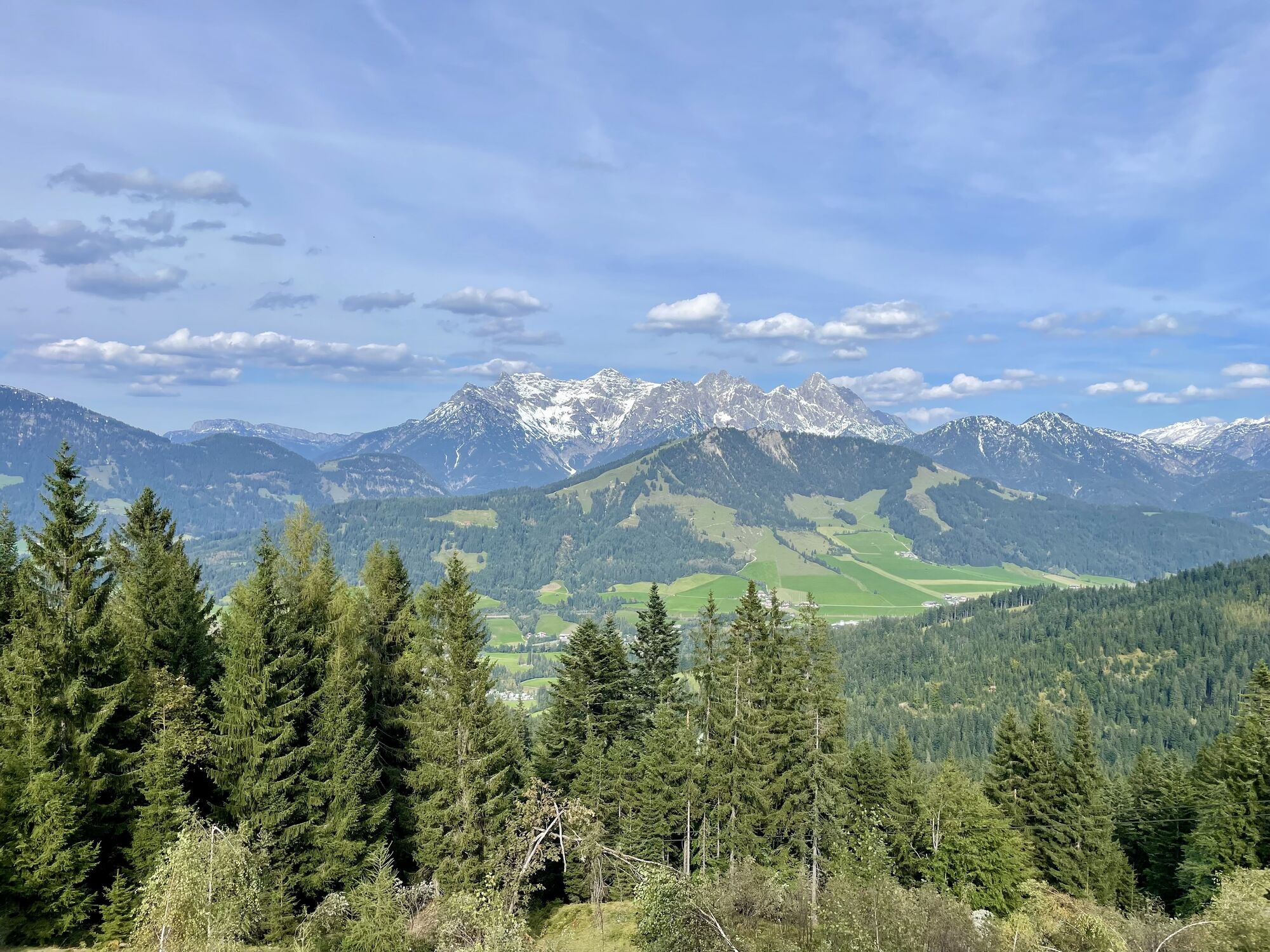


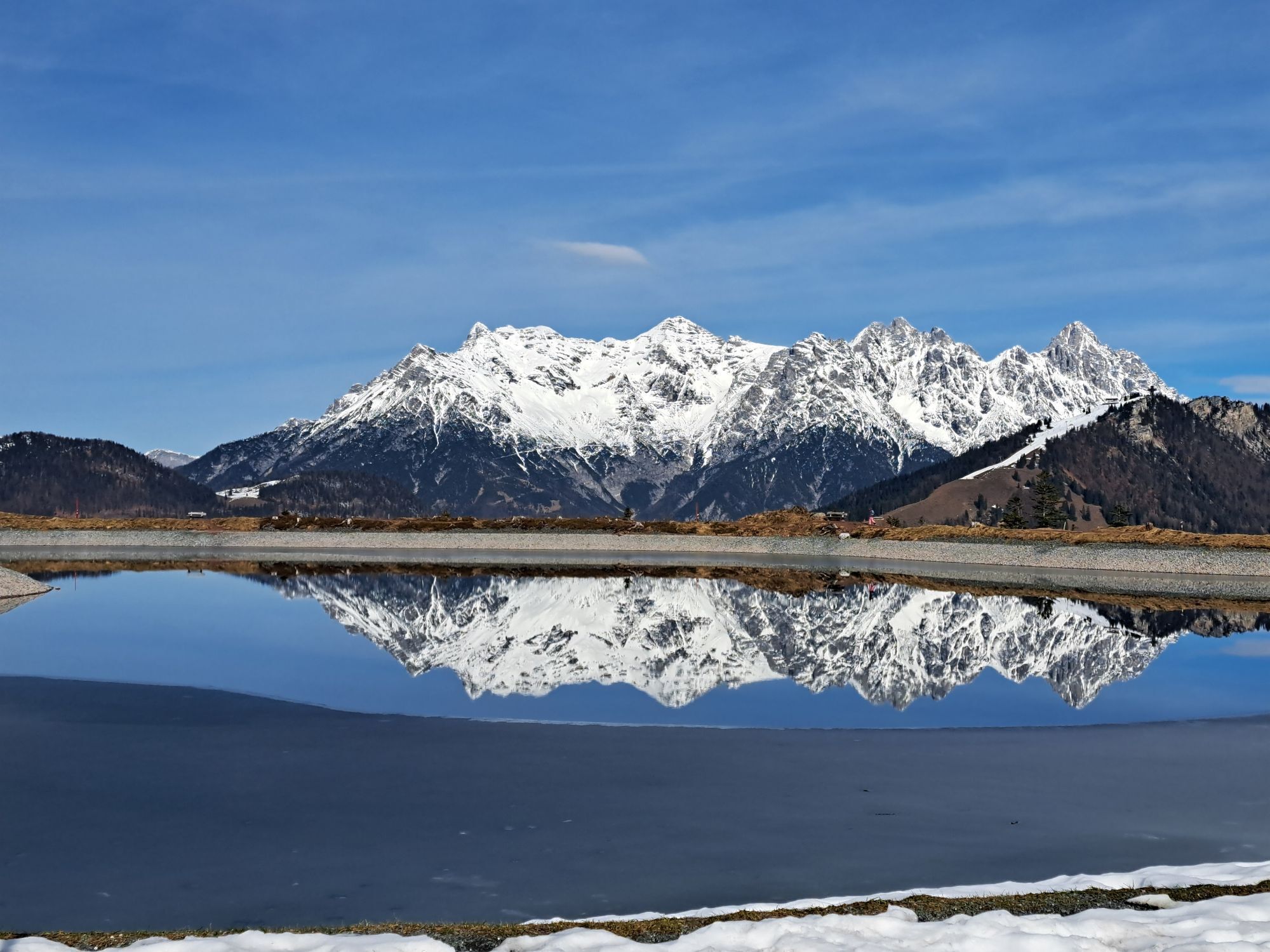


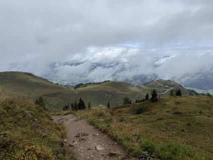
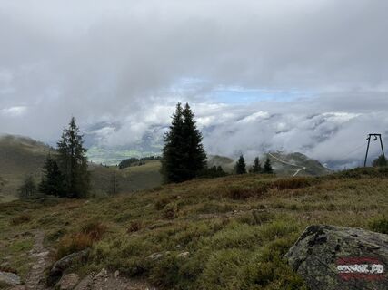
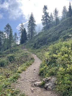
From the village center take path AV-711 via Rettenwand and Lucht to the Streuböden Alm. Carry on to the Wildalpgatterl, then right to the Wildalm and up to the Wildseeloderhaus (accommodation). Further...
From the village center take path AV-711 via Rettenwand
and Lucht to the Streuböden Alm. Carry on to
the Wildalpgatterl, then right to the Wildalm and up
to the Wildseeloderhaus (accommodation). Further
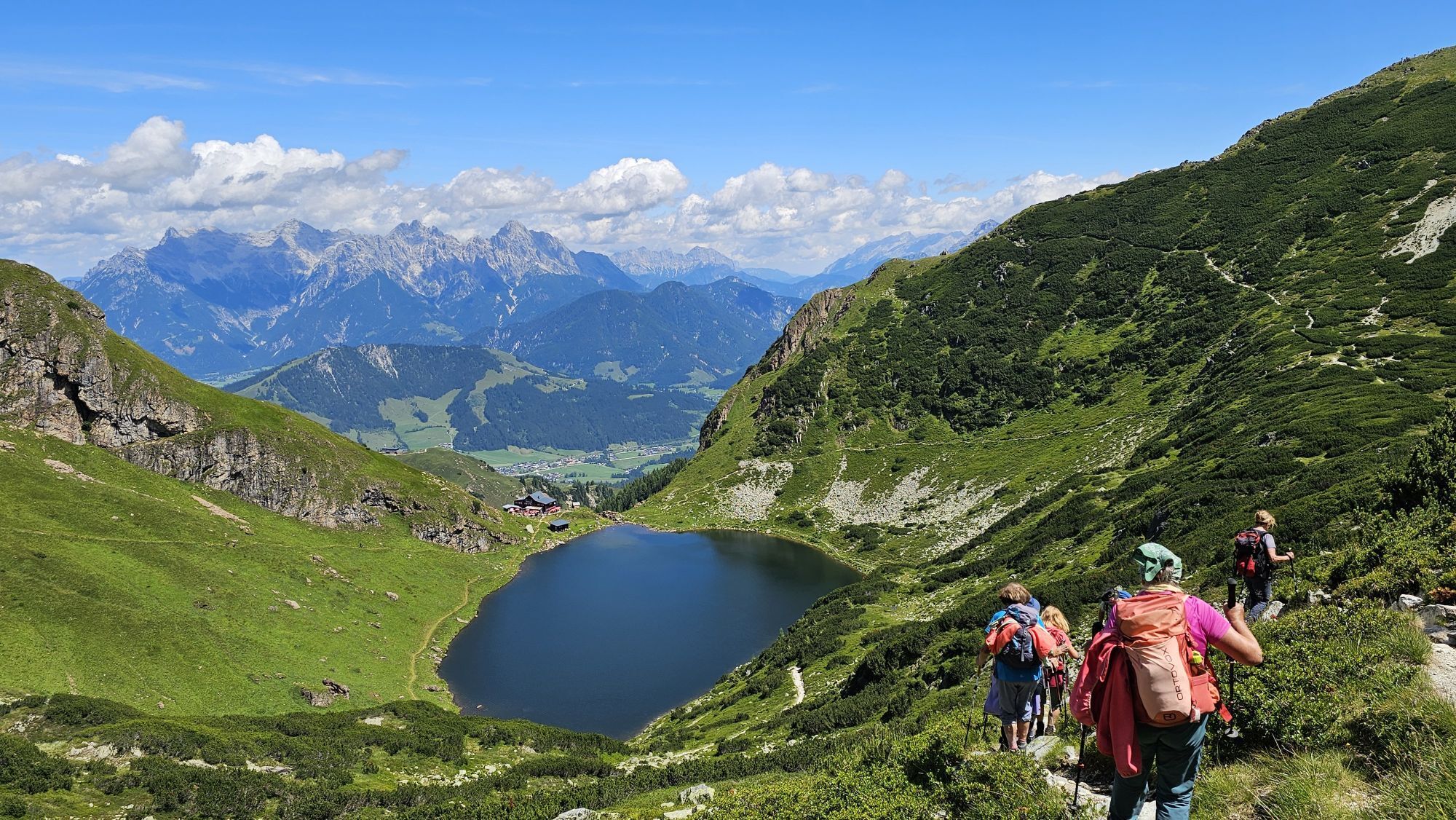
on via Seenieder (1.933 m) and the Niedermahdstein
(1.899 m) to the next fork. Here you leave the AV-711
and take the path no. 2 to the right to the Gebrakapelle
and to the Gebrajoch. Continue around the Gaisberg
peak to Lengfilzenalm - Schlinachalm - Lachtal - Grundalm
and through the Pletzergraben via Almausschank
Pletzer back to the village. By using the cable car the
walking time will be reduced to 7 hours.
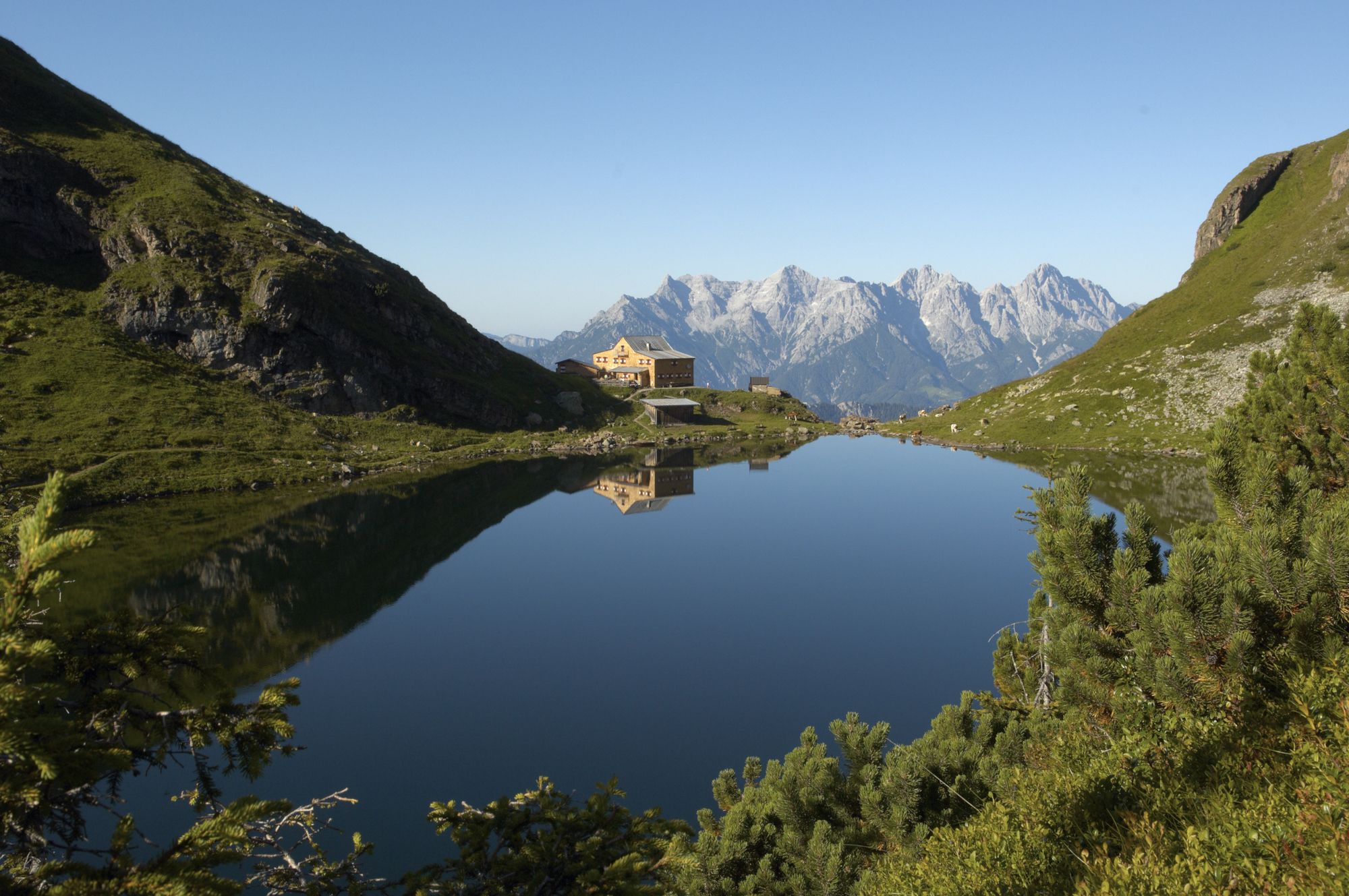
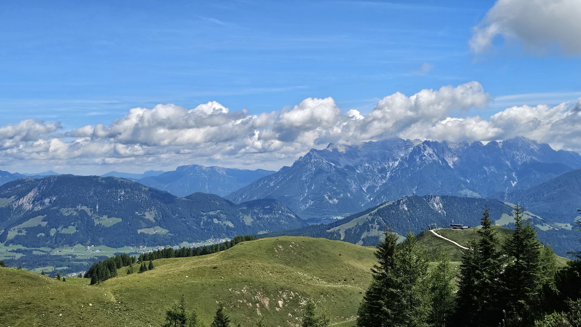
Fahrt mit der Gondelbahn zum Lärchfilzkogel und von dort weiter zum Wildseeloderhaus (Zeitersparnis ca. 2 Stunden)
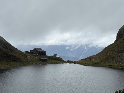
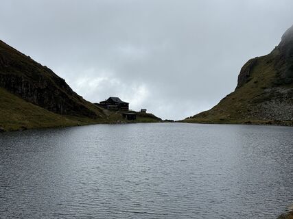
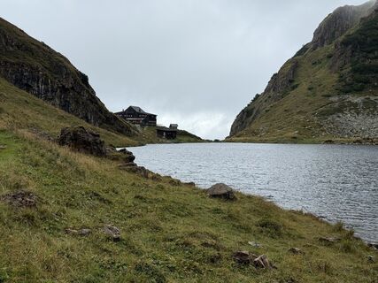
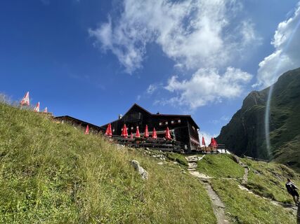
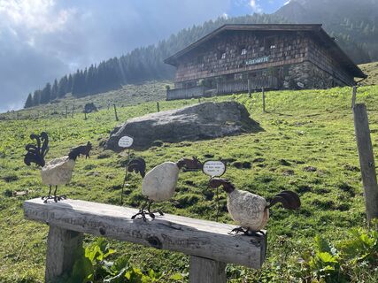
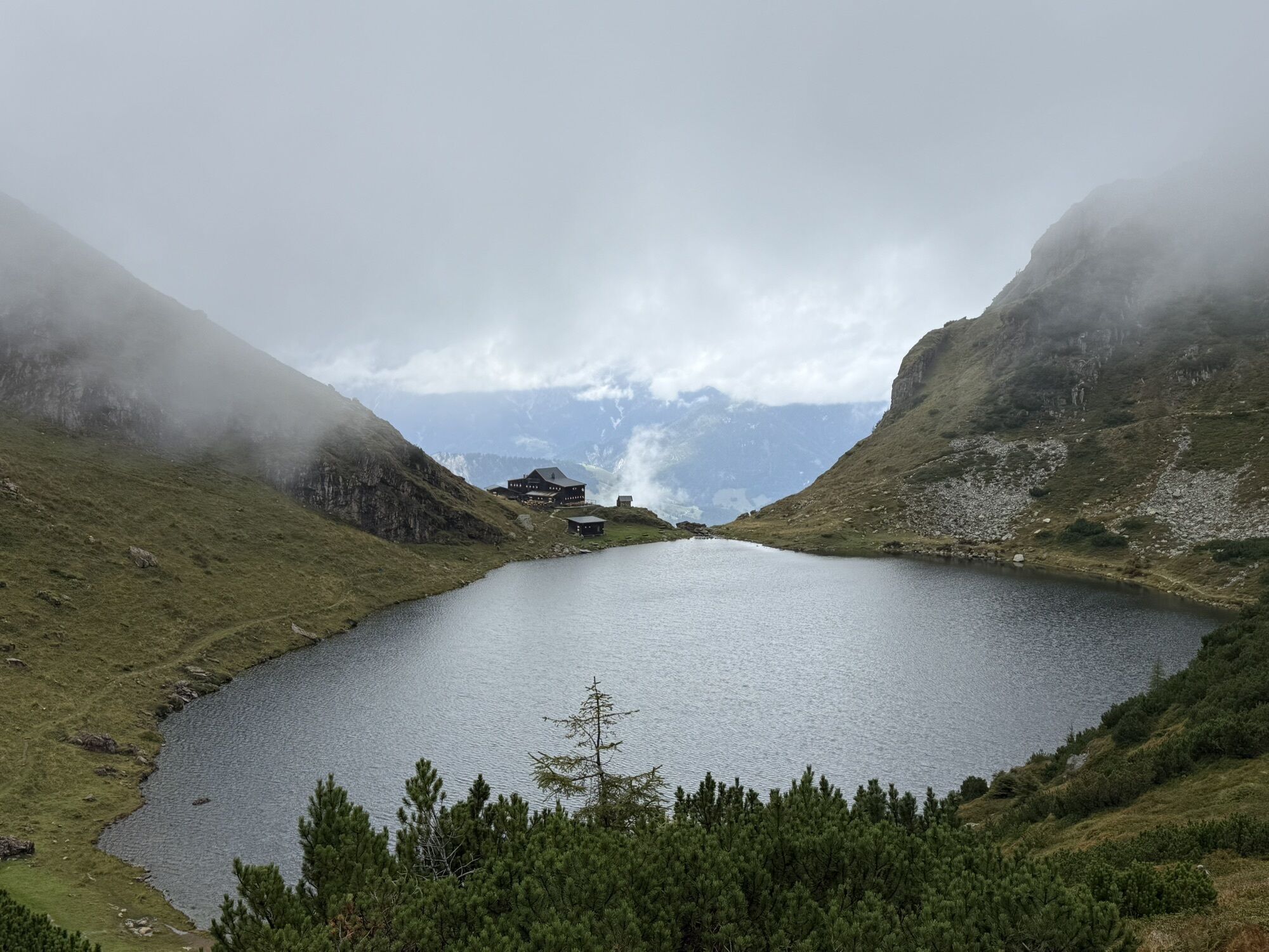
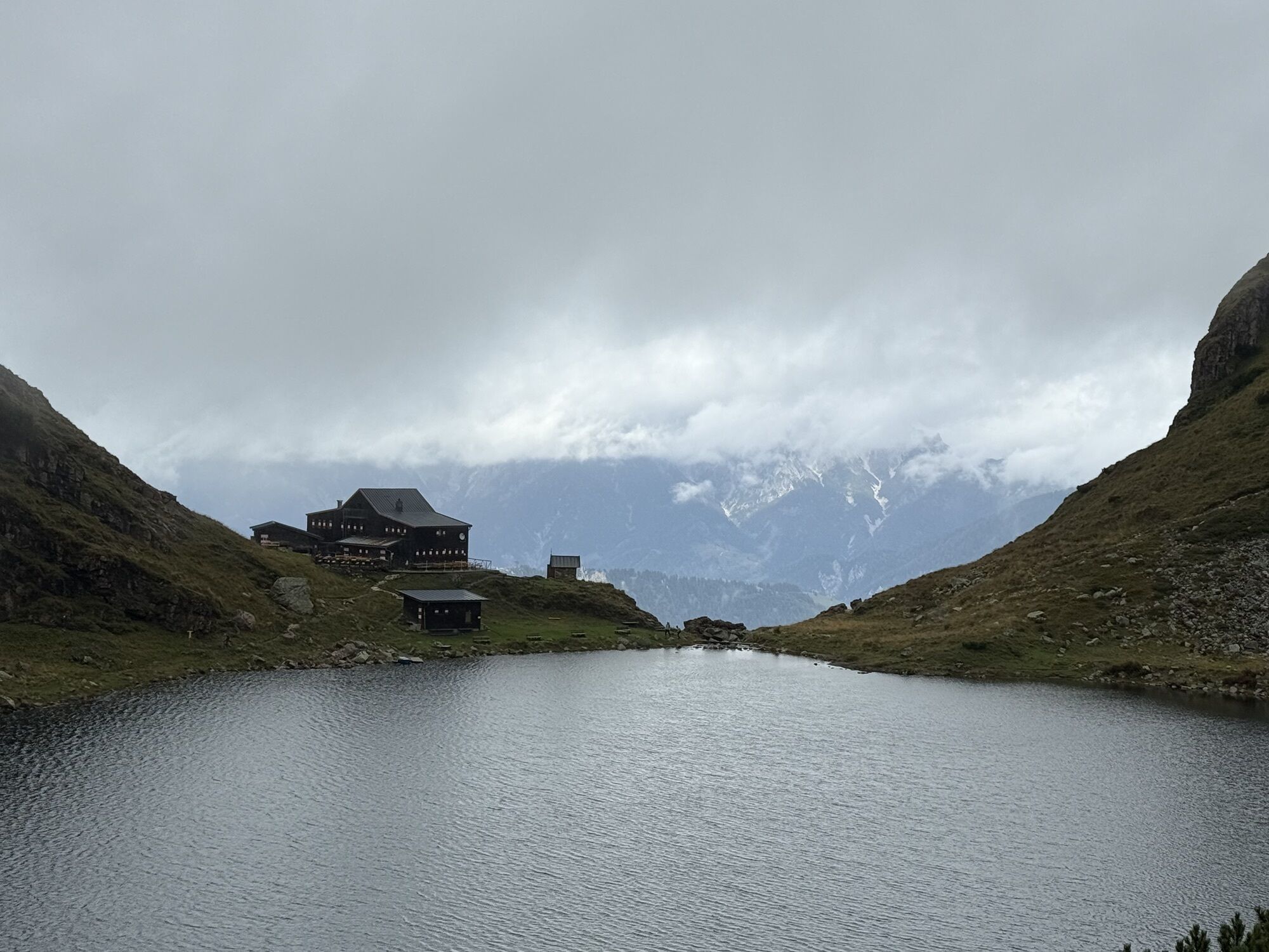
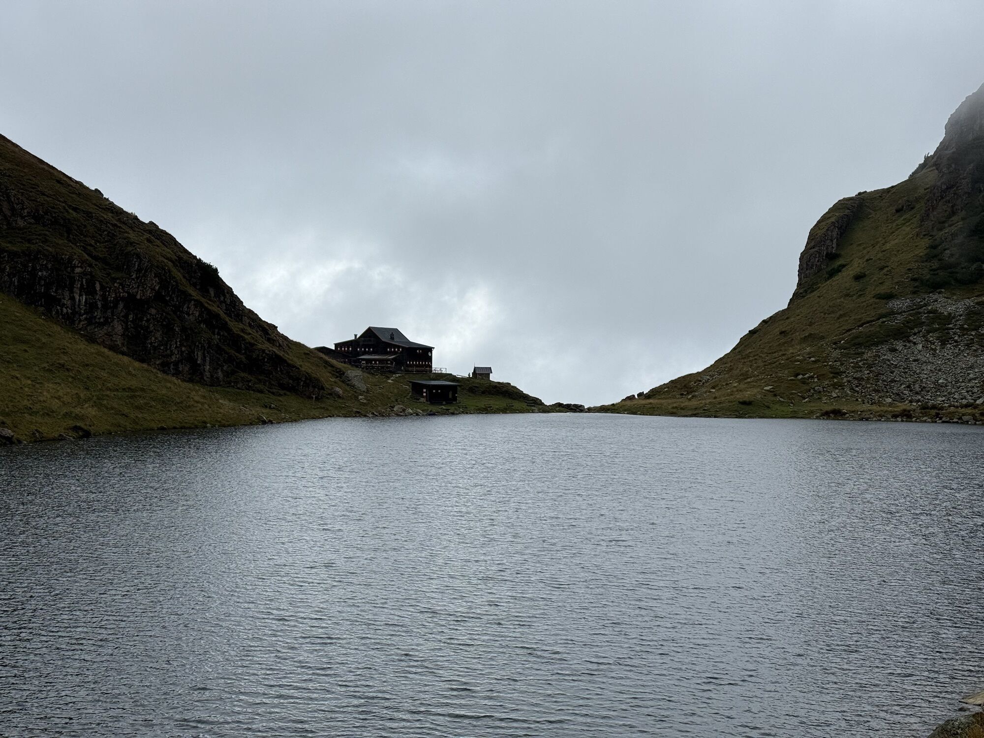
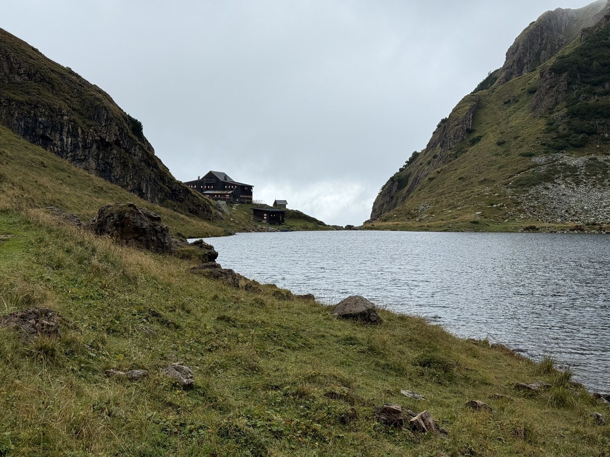
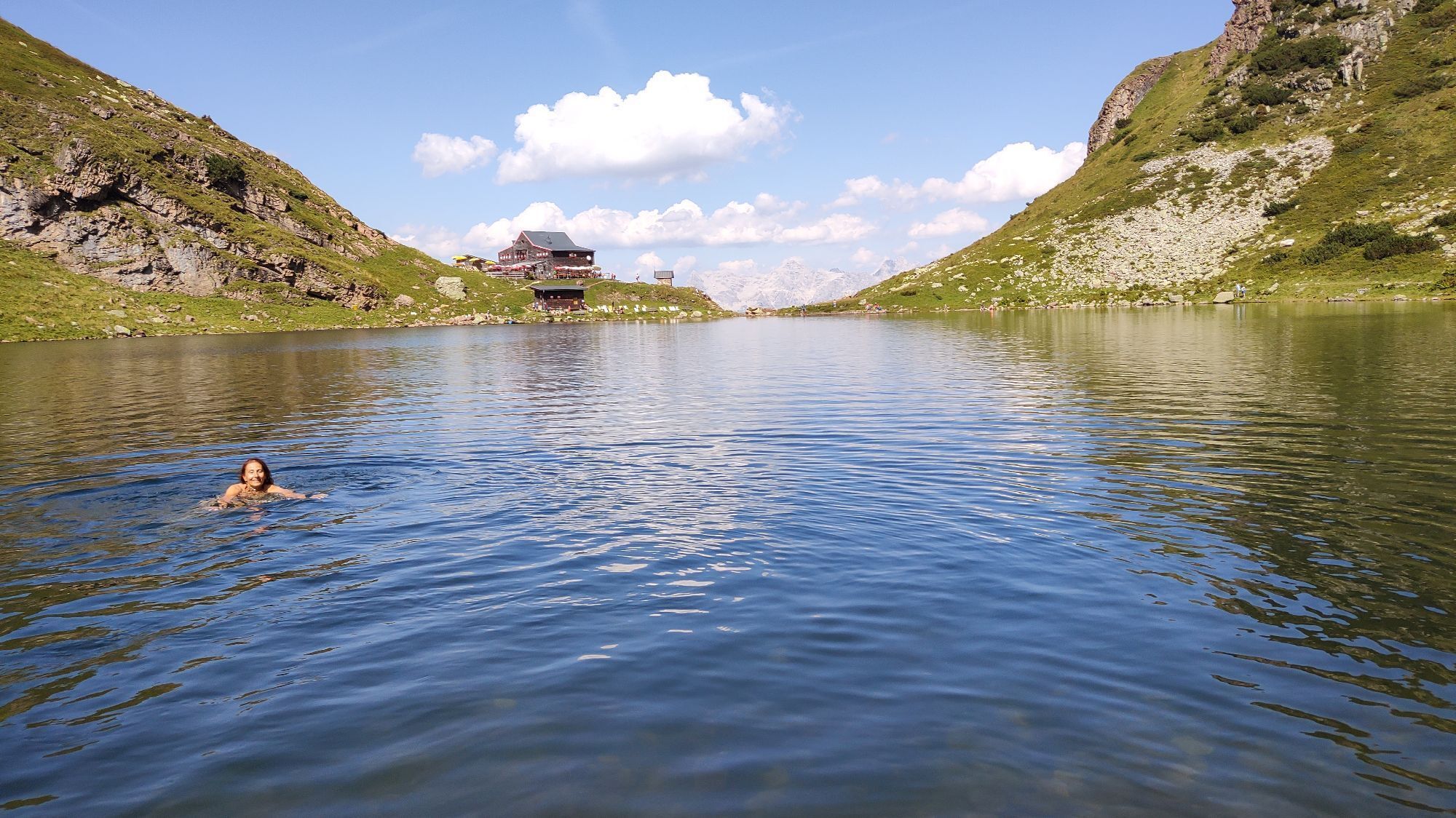
Wildseeloderhaus, Gasthof Winkelmoos
Wanderkarte Mayr Nr. 61, Wanderkarte Alpenweltverlag Nr. A032, Wanderkarte Kompass Nr. 29
Tak
Von Westen/Süden kommend: Über Innsbruck - Ausfahrt Wörgl Ost - B178 nach St. Johann in Tirol - abbiegen auf die B164 nach Fieberbrunn/PillerseeTal.
Von Osten kommend: Über Salzburg A1 - Ausfahrt Salzburg West oder Ausfahrt Bad Reichenhall (A8) - B21 (D) zur B 178 (A) über Lofer nach Waidring/PillerseeTal und weiter auf der Pillerseestraße L2 nach Fieberbrunn.
Kamery internetowe z trasy
-
Reckmoos
-
Bichlalm
-
Bichlalm
-
Bichlalm
-
Bichlalm
-
Bichlalm
-
St. Jakob im Pillerseetal
-
Fieberbrunn - Buchensteinwand in Tirol
-
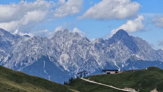
Lärchfilzkogel
-
Lärchfilzkogel
-
Speicherteich Hornköpfl
-
Fieberbrunn Talstation Streuböden
-
Fieberbrunn - Streuböden Bergstation
-
Pillersee - Jakobskreuz
-
Talstation Pillersee
-
Lärchfilzkogel
Popularne wycieczki w okolicy
-
4,2
Erpfendorf: Griesbachklamm
średniWędrówka 10 km -
4,9
Streif Wanderweg
średniWędrówka 5,73 km -
4,0
Berg der Sinne
światłoWędrówka 4,39 km -
4,8
St. Johann in Tirol: Wasserfall & 3 Seen am Kitzbüheler Horn
średniWędrówka 12,7 km -
5,0
Panorama route 3 peaks and 2 lakes
średniWędrówka 7,35 km -
4,5
Kitz Bhf- Kitzbühler Horn und zurück zum Alpenhaus
średniWędrówka 11,8 km -
4,7
Tristkogel
ciężkiWędrówka 15,6 km -
4,2
Klettersteig Marokka, C
średniVia ferrata 5,91 km -
Route 232: Hahnenkamm
Mountainbike 15,1 km -
4,2
Spielbergalmen
średniWędrówka 10 km
Wędrówki i tropienie


Nie przegap ofert i inspiracji na następne wakacje
Twój adres e-mail została dodana do listy mailingowej.