







Sahne Stüberl


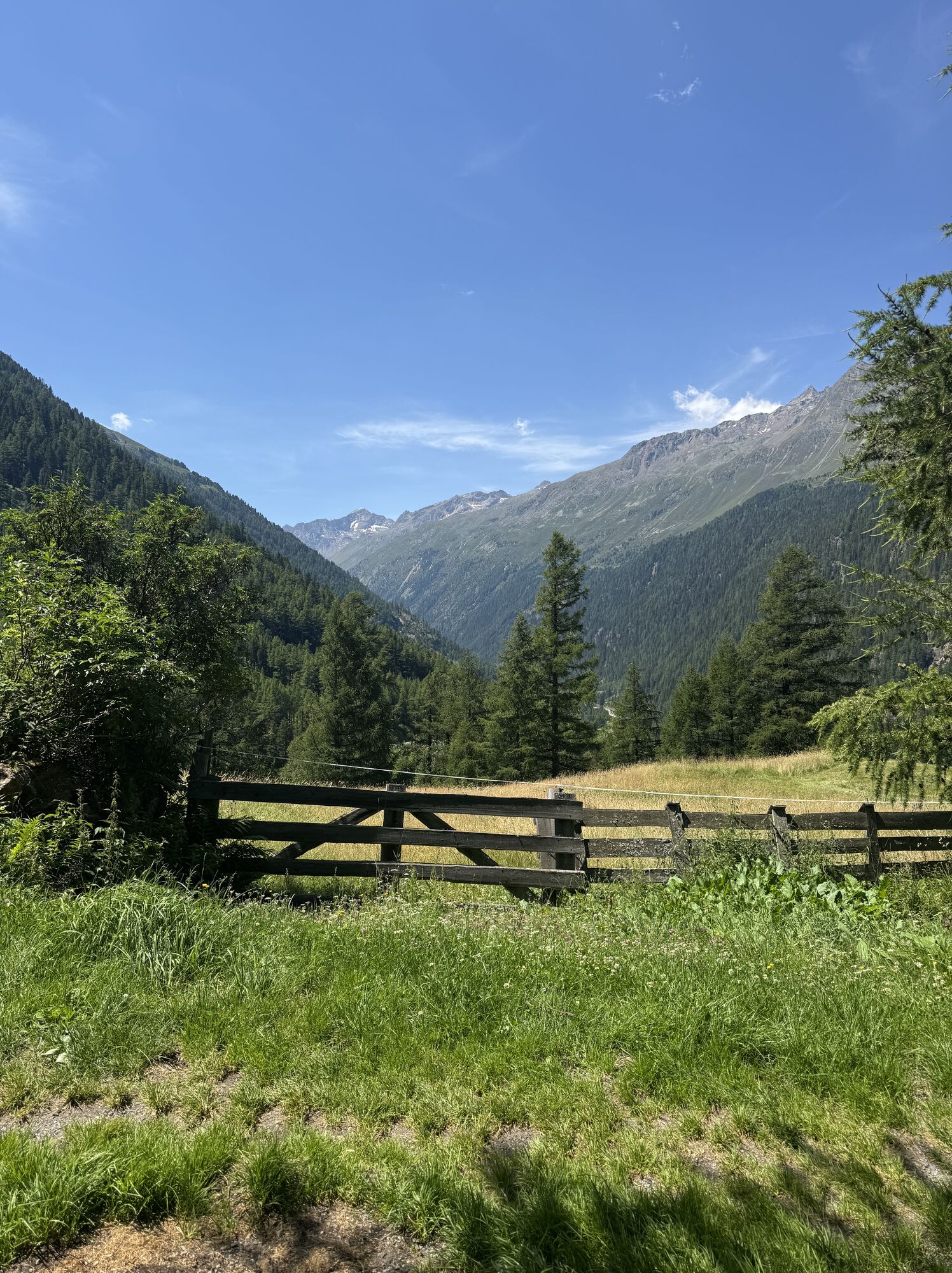
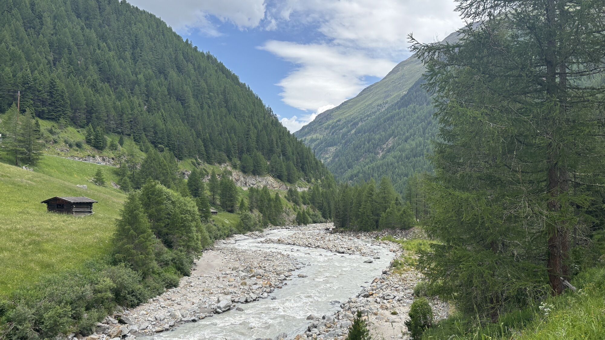
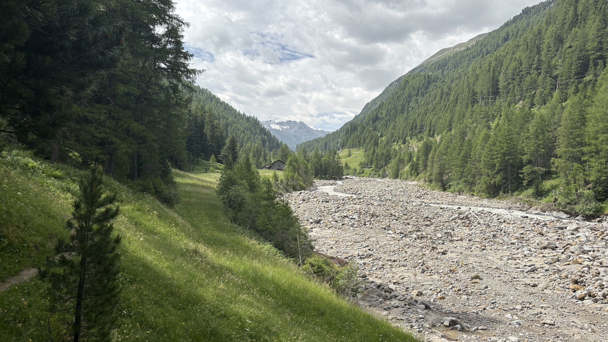
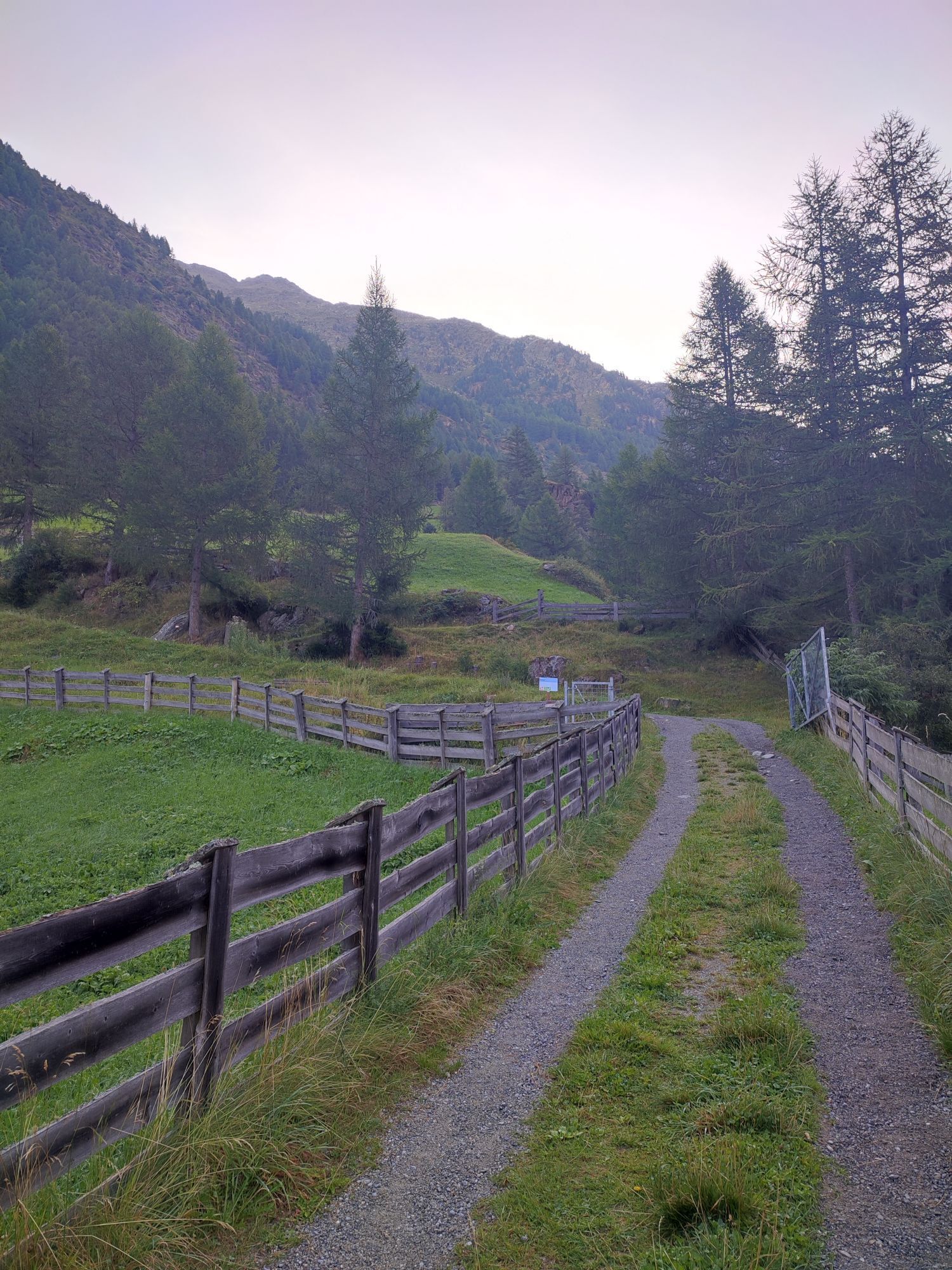
The hike to Sahne Stüberl is a popular, leisurely route above Zwieselstein – ideal for nature lovers, families, and everyone looking for a short but scenic route.
The path starts from the Zwieselstein village...
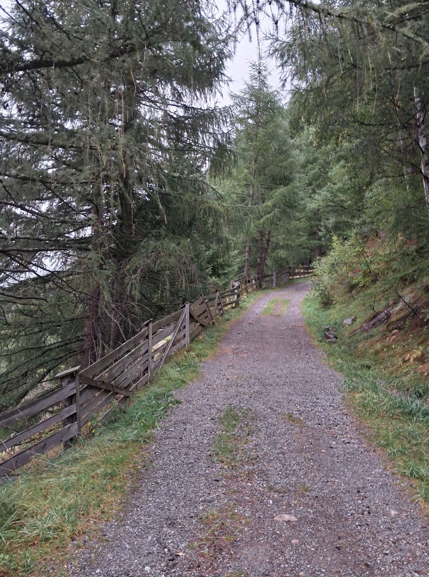
The path starts from the Zwieselstein village center (1,451 m) directly at the bridge over the Gurgler Ache. From there, a well-maintained forest road leads uphill through the forest via several switchbacks.
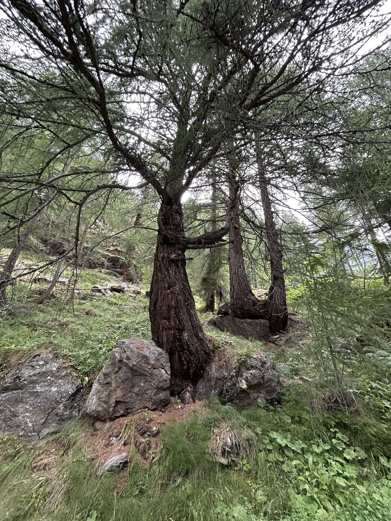
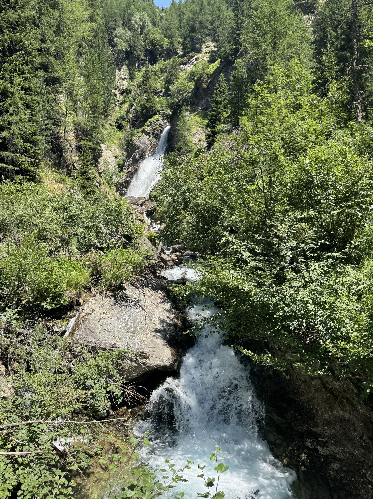
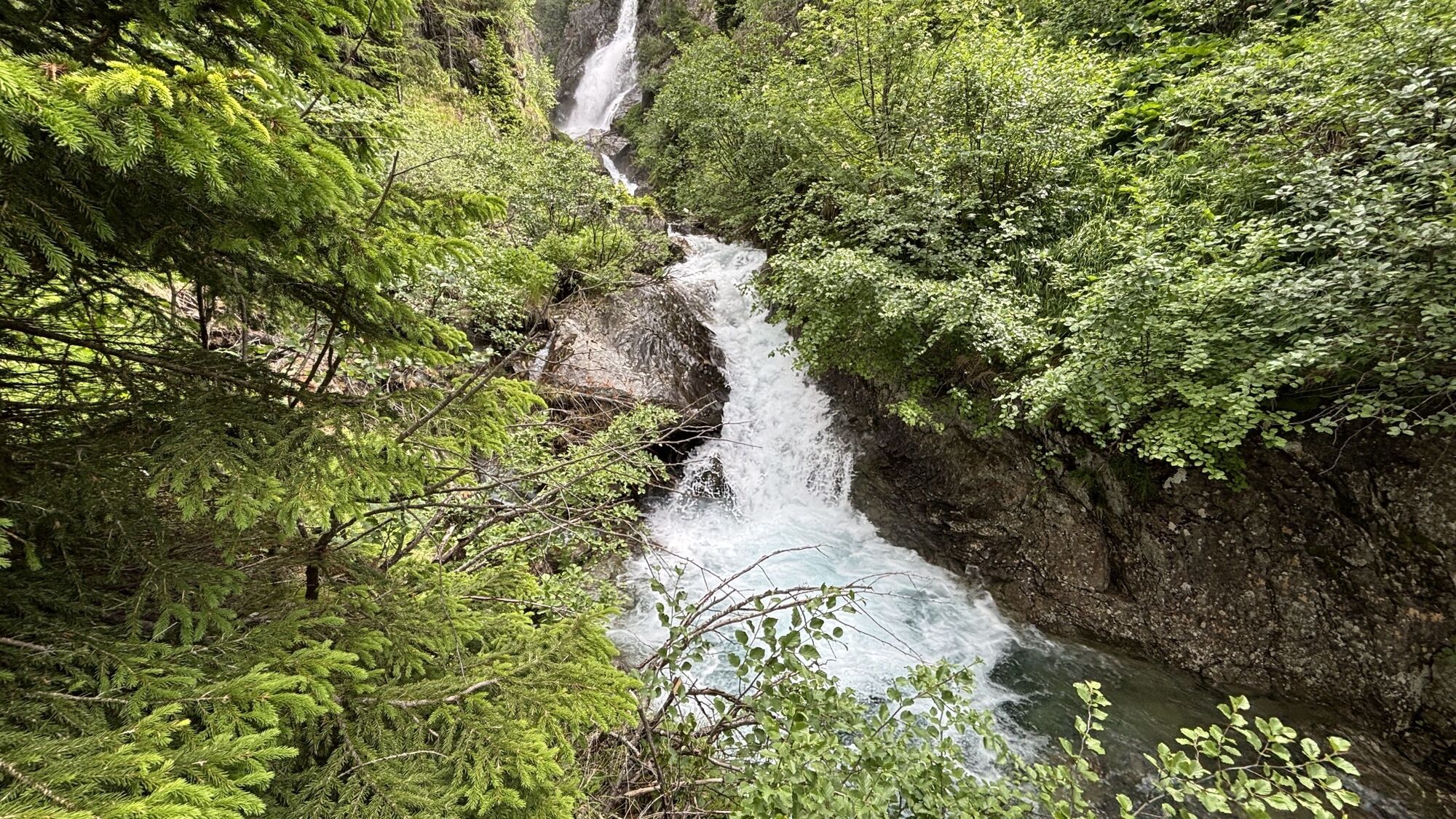
After the initial climb, the path ascends gently to nearly flat terrain, accompanied by magnificent views of the Ötztal valley and the surrounding mountain landscape. Along the way, you pass a small waterfall, which offers a welcome refreshment, especially on warm days.
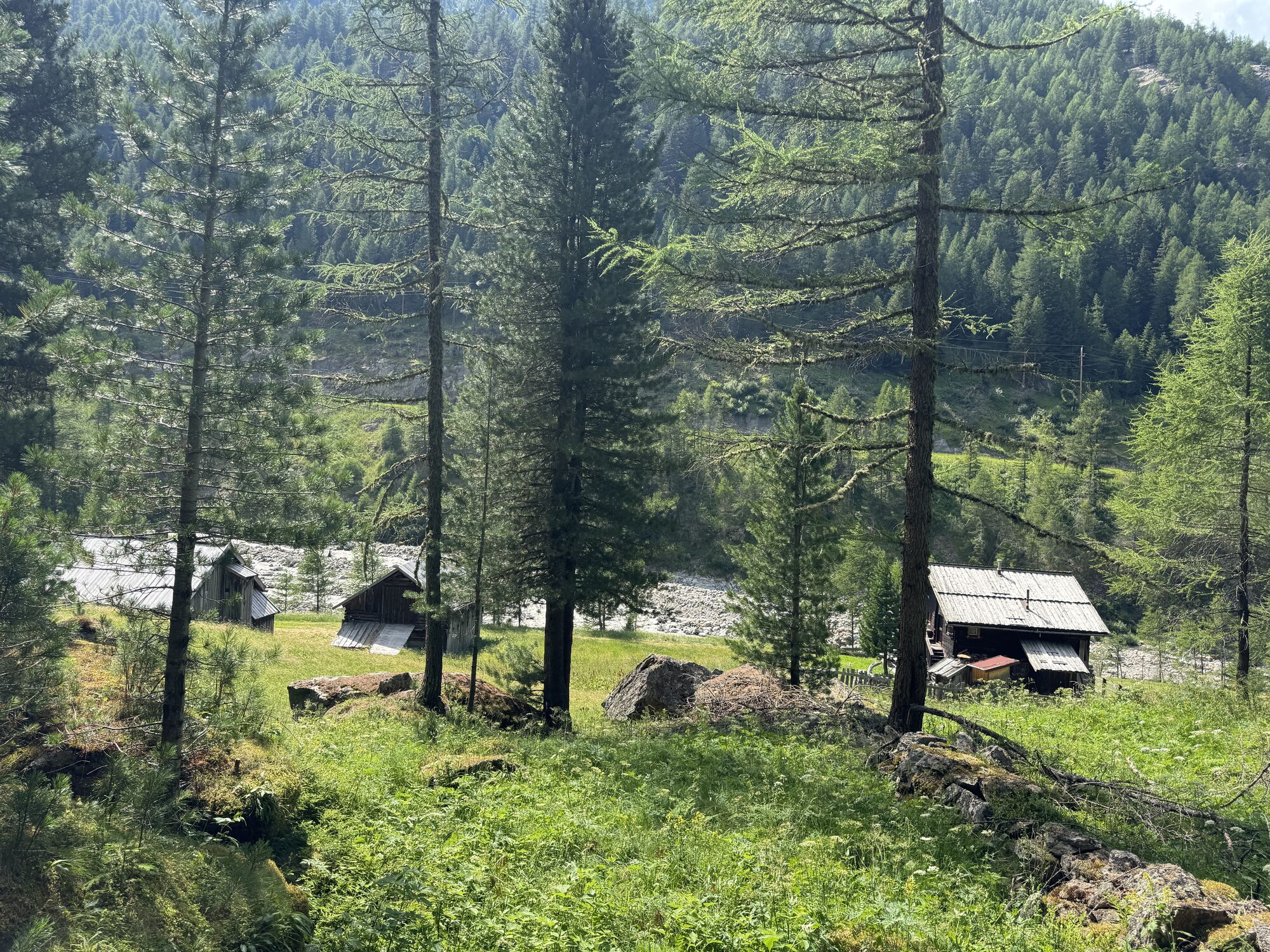
After about 1 to 1.5 hours walking time (depending on pace), you reach the cozy Sahne Stüberl at 1,650 m above sea level. The rustic hut invites you to rest with homemade Tyrolean specialties, a sun terrace, and a warm atmosphere.


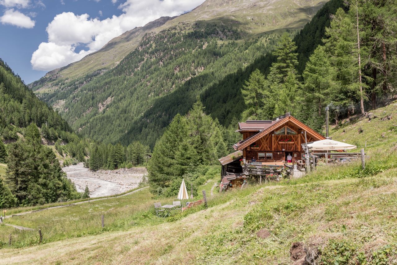


Ideal for families and everyone looking for a leisurely hike with a place to rest.
Tak
Appropriate equipment such as breathable and weather-appropriate outdoor clothing, ankle-high hiking boots, wind, rain and sun protection, a hat, and possibly gloves are required for all hikes and routes. It is necessary to carry a first aid kit, a mobile phone, and possibly a hiking map, as well as sufficient provisions for hikes without the possibility to stop for refreshments.
Moderately difficult mountain trail; suitable for sure-footed and experienced mountain hikers; good physical condition, mountain experience, and mountain equipment (see equipment section) are necessary. Please check the current weather report at: https://www.oetztal.com/de/sommer.html
Car travel to the ÖTZTAL. Located in Tyrol, the Ötztal branches southward as the longest side valley of the Eastern Alps.
Travel by car takes visitors via the Inn valley to the valley entrance and then continues along the Ötztal.
Besides the toll highway, country roads may also be used.
With the route planner, your drive can be quickly and conveniently determined: To the route planner: https://www.google.at/maps
Travel comfortably and safely by train to the Ötztal train station. The end station and exit point is ÖTZTAL station.
From there, travel conveniently and quickly by public transport or local taxi companies through the entire valley to your desired destination.
The current bus schedule is available at: http://fahrplan.vvt.at
The parking spaces are subject to a fee.
More information about hiking in the Ötztal: https://www.oetztal.com/wandern




Kamery internetowe z trasy

Aktywności na trasie




Popularne wycieczki w okolicy
-
4,6
Vent - Wilder Mann - Breslauer Hütte - Stableinalm
średniWędrówka 7,25 km -
4,8
Wilde Wasser Weg - Fortgeschritten
średniWędrówka 12,0 km -
5,0
Dresdner hütte - sulzenauerhütte
średniWędrówka 12,1 km -
4,5
Hohe Geige über Gawinden und den Westgrat
ciężkiWędrówka 14,3 km -
3,8
Breslauer Hut
średniWędrówka 4,75 km -
4,3
Amberger Hut - Längenfeld/Gries
średniWędrówka 5,60 km -
4,4
Hochtour Wildspitze, 3.768m
średniWycieczka wysokogórska 9,75 km -
4,9
Seeber-See Rundweg
światłoWycieczki górskie 7,96 km -
3,5
Tiefenbachglacier - Mountaineering Village Vent
średniWędrówka 10,8 km -
5,0
Obergurgl - Ramolhaus
Wędrówka 7 km

Wędrówki i tropienie


Nie przegap ofert i inspiracji na następne wakacje
Twój adres e-mail została dodana do listy mailingowej.





