







Hike Steinrastl 2.184 m

An asphalt road proceeds to the hamlet of Flatsch in the parish of Bergen. It is recommended that you leave your car here and continue hiking via the forest trail (only authorised personnel are permitted...
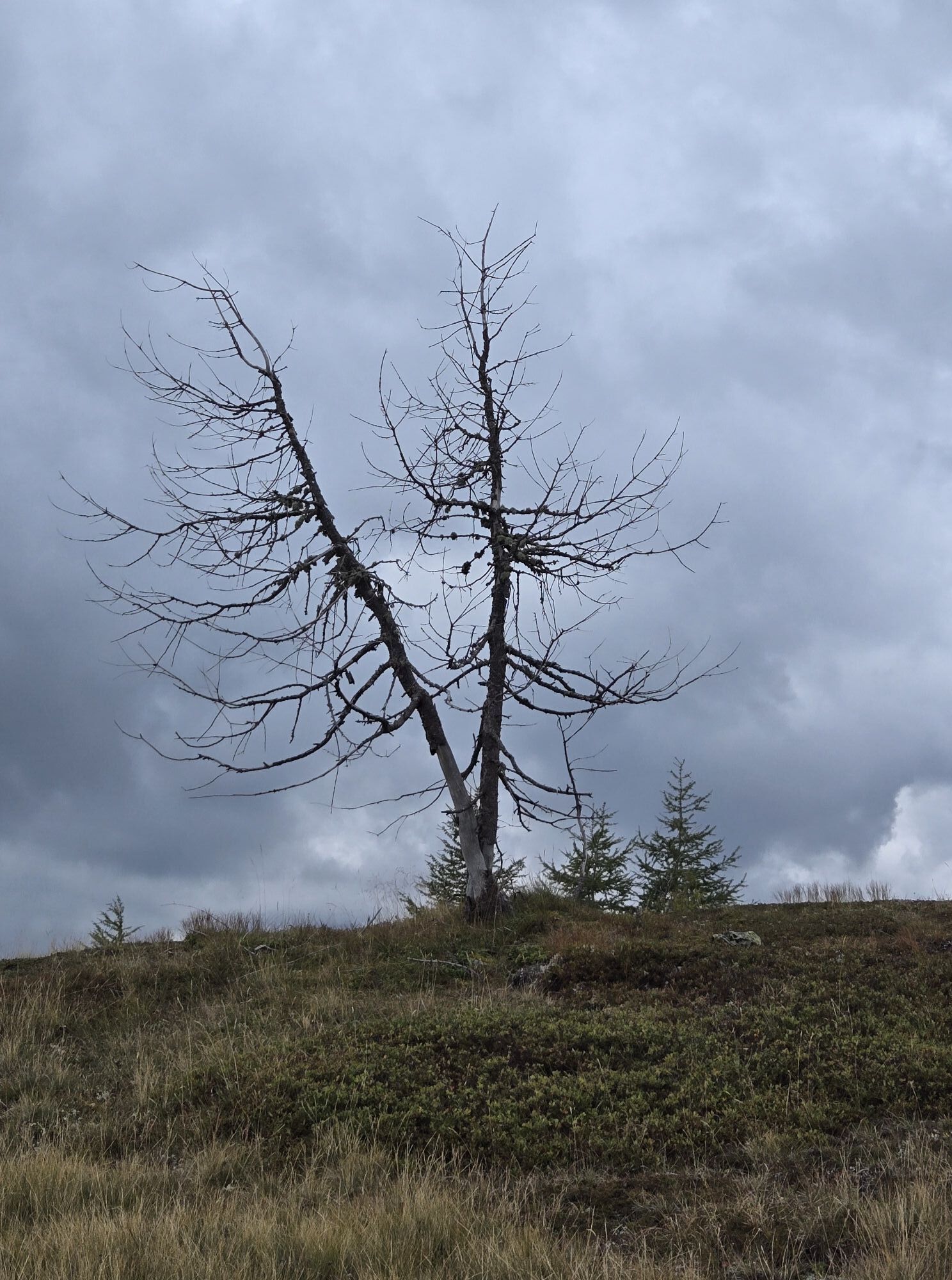
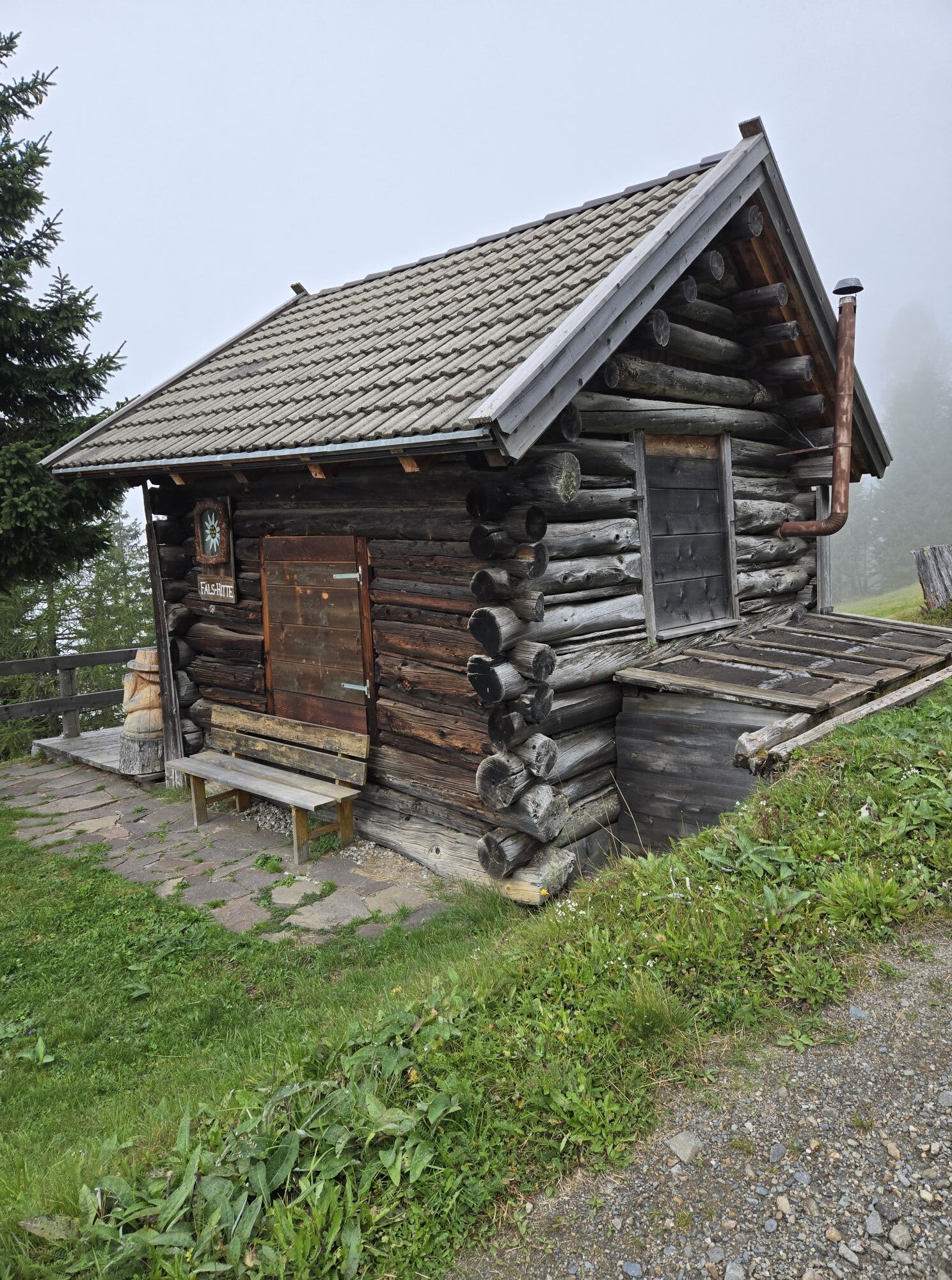
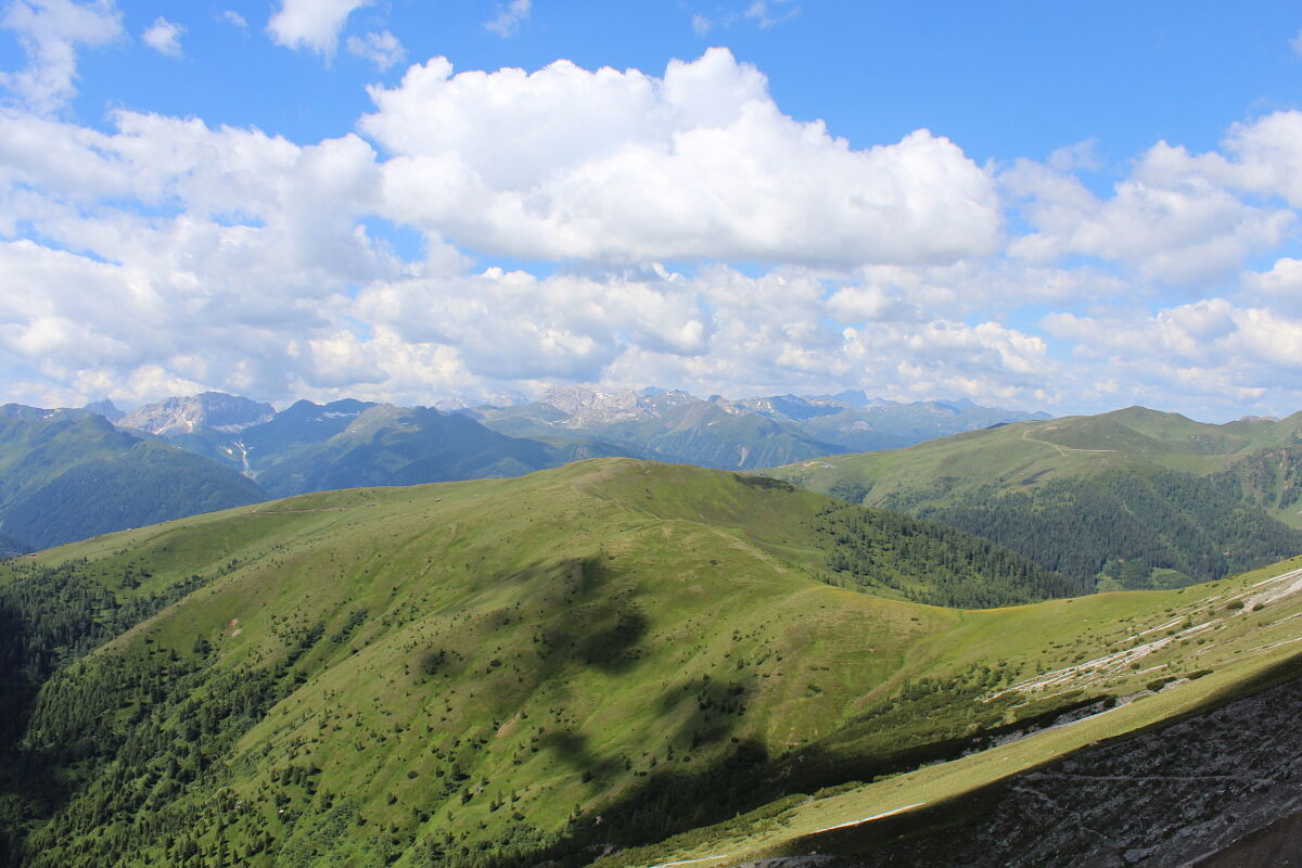
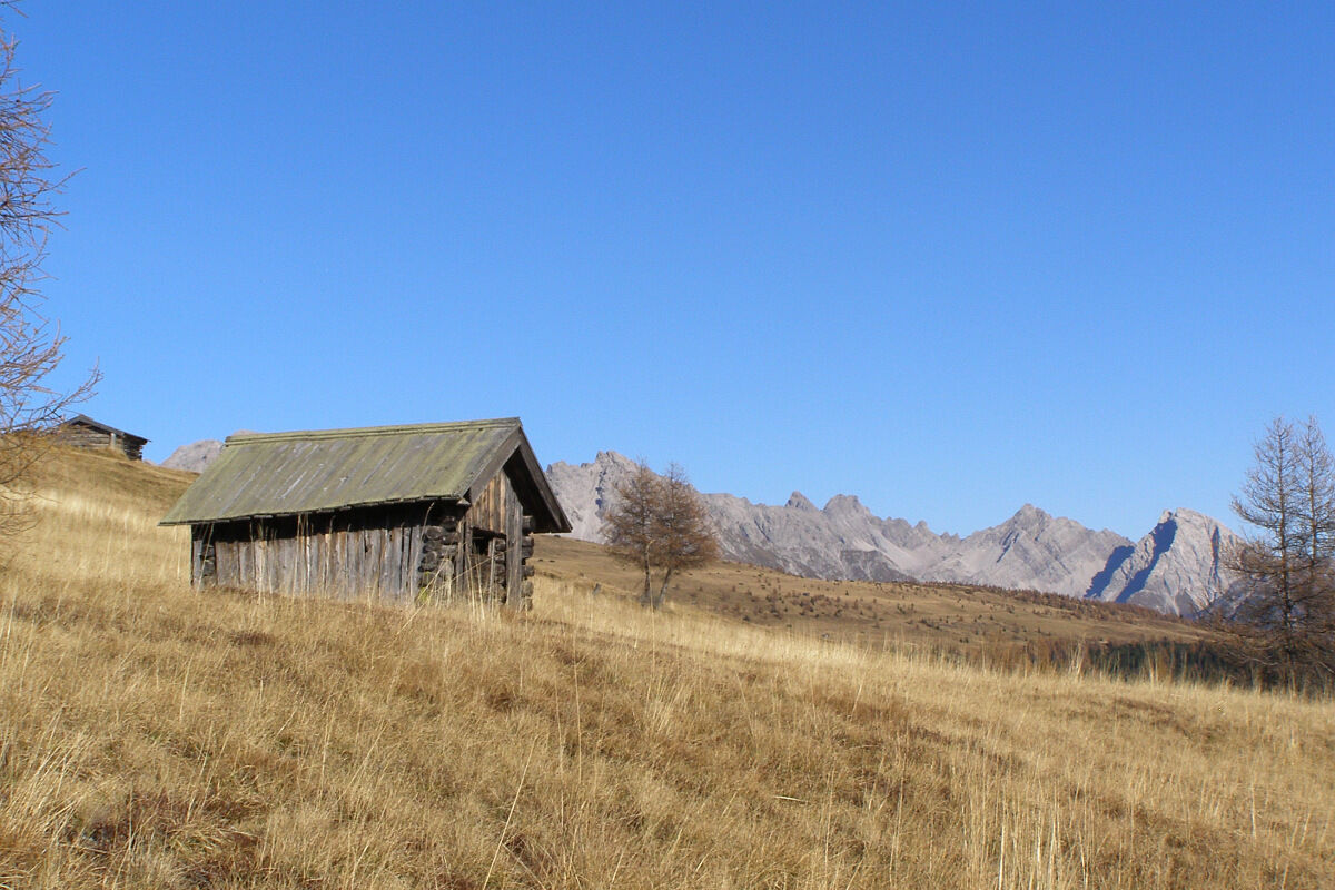
An asphalt road proceeds to the hamlet of Flatsch in the parish of Bergen. It is recommended that you leave your car here and continue hiking via the forest trail (only authorised personnel are permitted to drive here). For the most part through shaded woodland, this trail proceeds up to the mown mountain pastures in the summer months. Lush blossoms flourish here, as they do on almost all the sunny mountain slopes. You get to the Steinrastl via a relatively flat mountain ridge.

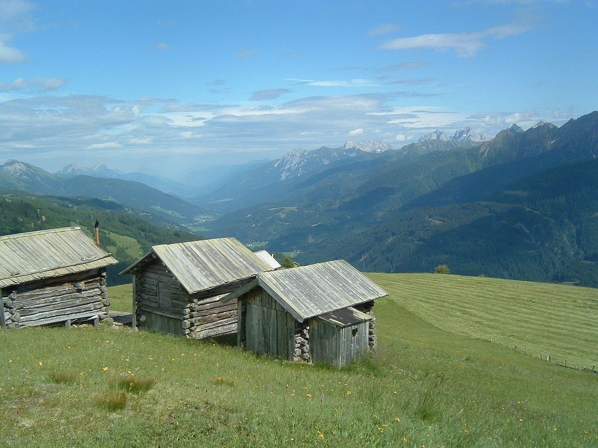
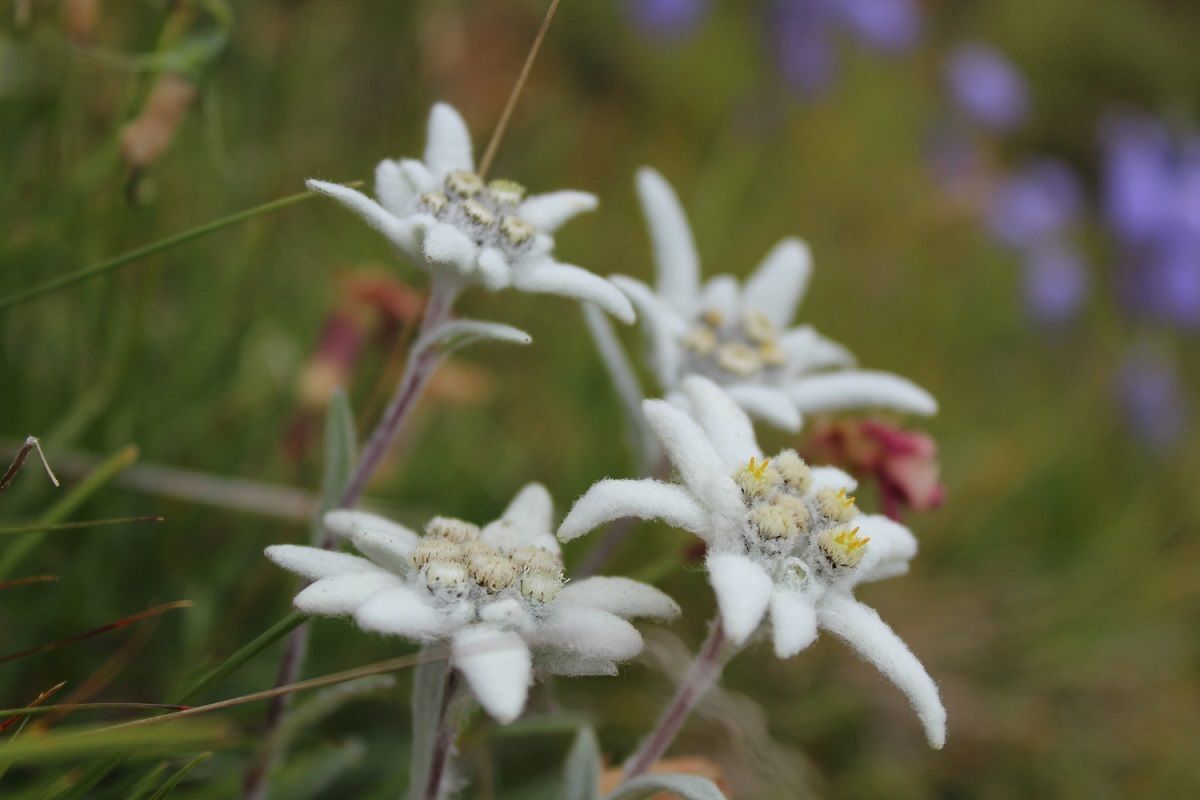

Basic equipment for mountain hiking includes sturdyâ¯hikingâ¯boots with a good tread, a 30-35 liter backpack, and functional clothing based on the layering principle, including sufficient spare clothes. Essential items are rain, cold, and sun protection, adequate fluids and food, as well as a first-aid kit and a charged mobile phone. A map or a GPS device supports orientation.
The information serves as a guideline and does not claim to be exhaustive. Equipment must always be adapted to theâ¯planned route, weather conditions, season, natural hazards, environmental influences, and personal needs.
Mit dem Bus bis zur Haltestelle "Obertilliach Bergen"
Am besten lassen Sie das Auto im "Bachhäusl" im Bereich vor der Brücke über den Gärberbach stehen!



Kamery internetowe z trasy


Popularne wycieczki w okolicy
- 4,7
Karlsbader Hütte über Rudl-Eller-Weg
ciężkiWędrówka 5,10 km - 4,5
Karnischer Höhenweg – Etappe 4: Hochweißsteinhaus – Wolayersee Hütte
ciężkidługodystansowy szlak pieszy 15,9 km - 4,8
Lienzer Dolomiten-Lasertörl
średniWędrówka 13,2 km - 4,7
Karlsbader Hütte
średniMountainbike 13,4 km - 4,6
Kartitsch-Obstansersee Hütte
średniWędrówka 13,1 km - 4,5
Obergail - Obergailer Alm - Obergailer Lake - Enderberg hut - Source for Health & Peace - Madonna circular hiking route - Obergail
średniWędrówka 11,4 km - 4,8
Klammbrückl - Kerschbaumeralm - Spitzkofel
ciężkiWędrówka 8,71 km - 4,4
Connyalm (2.070 m)
Wędrówka 6,36 km - 4,0
Karlsbader Hütte - Lienzer Dolomiten
Wędrówka 8 km - 4,6
Bread & Morende Trail
średniWędrówka 11,3 km
Wędrówki i tropienie


Nie przegap ofert i inspiracji na następne wakacje
Twój adres e-mail została dodana do listy mailingowej.





