





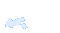

Cable car hike: Rotkoglhütte - Schwarzsee - Schwarzkogl

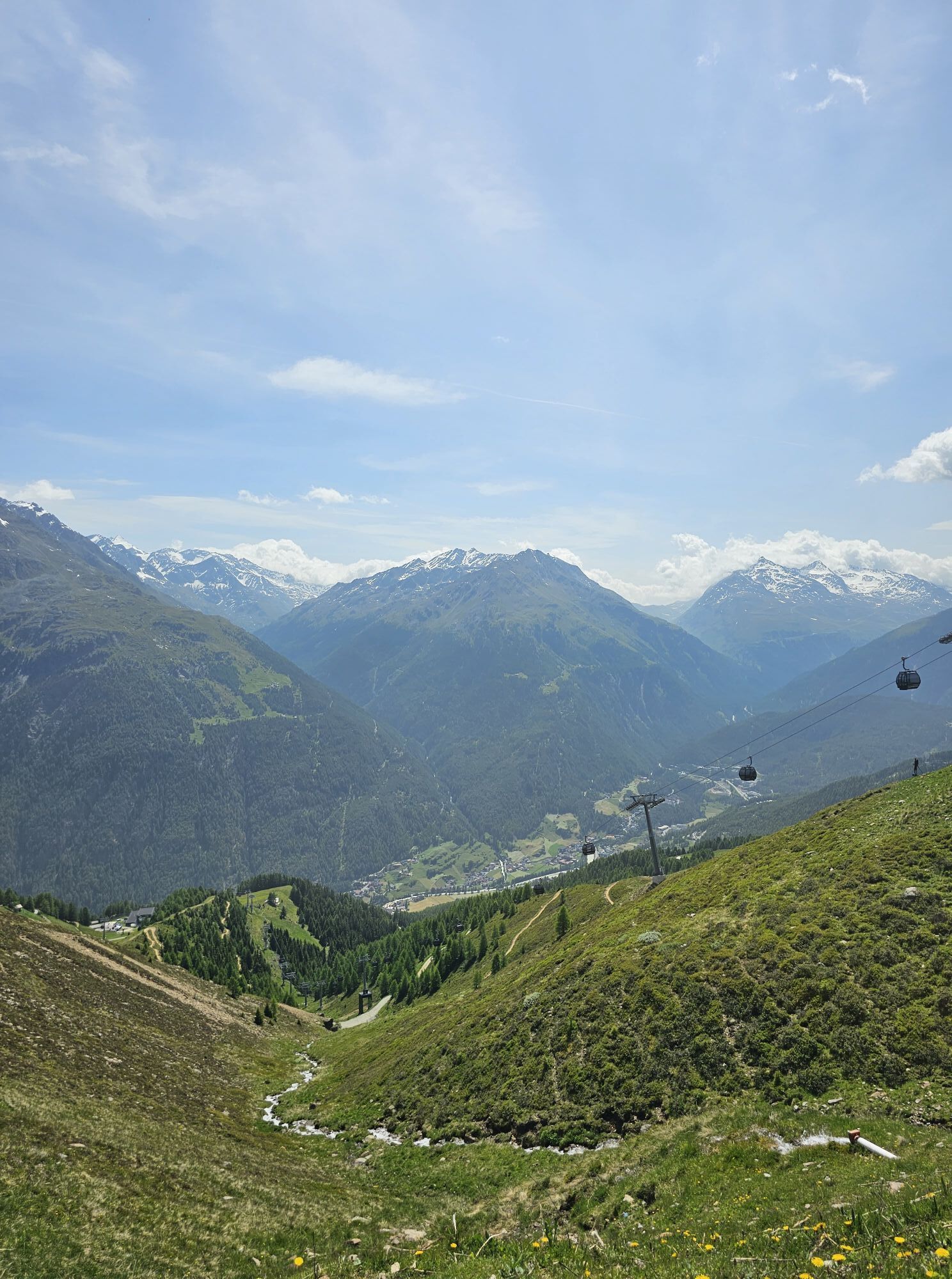
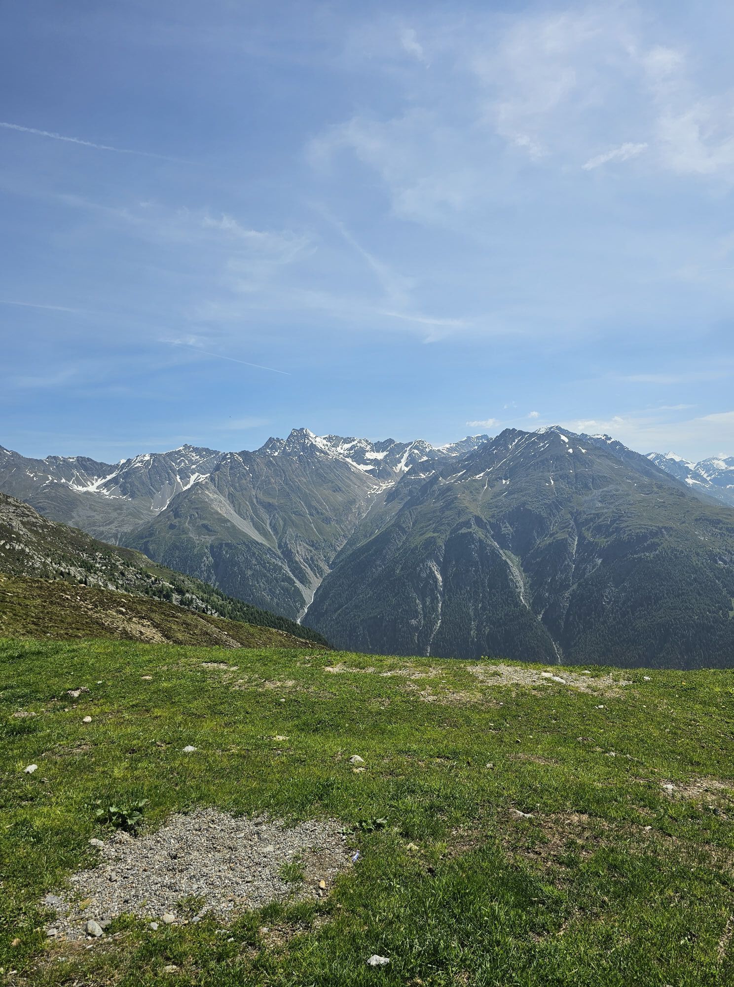
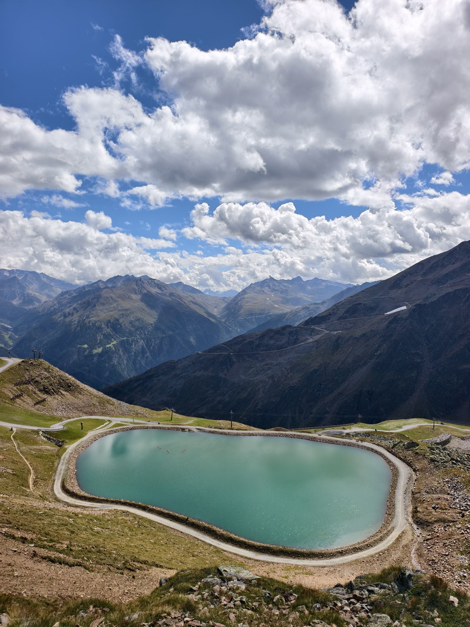
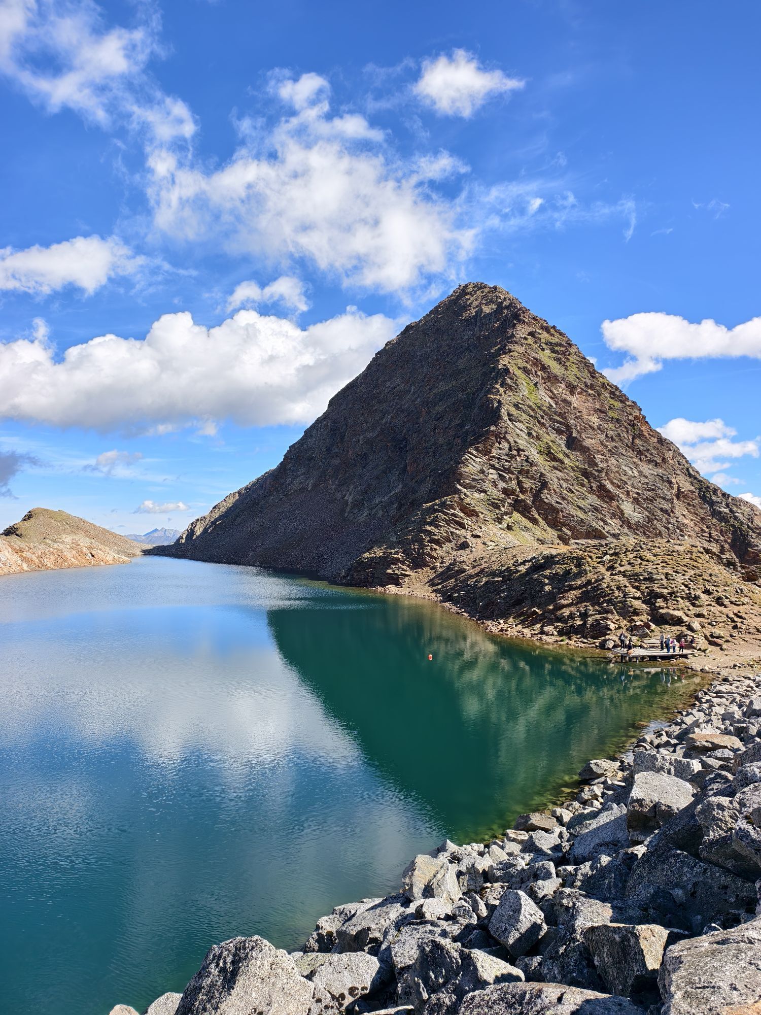
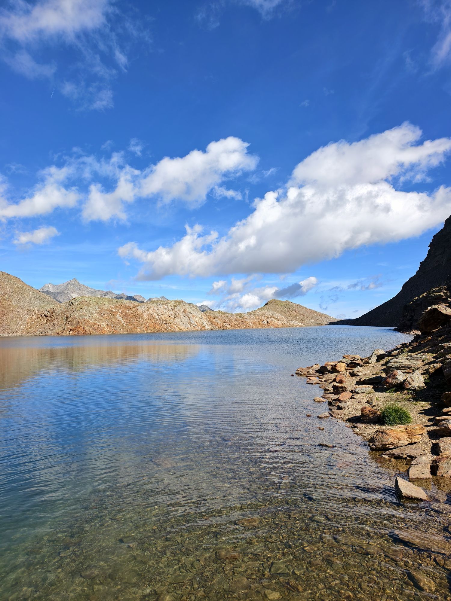
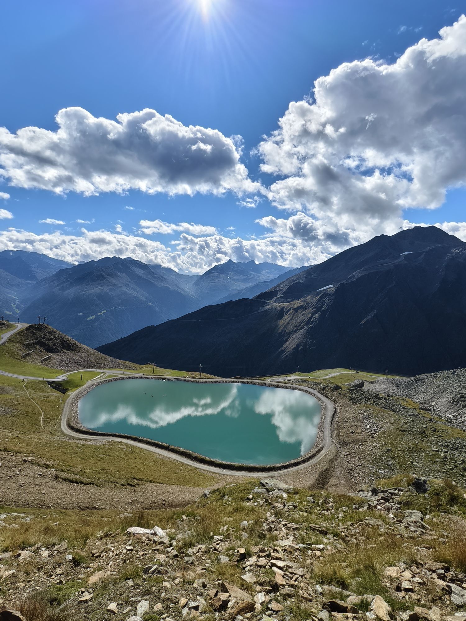
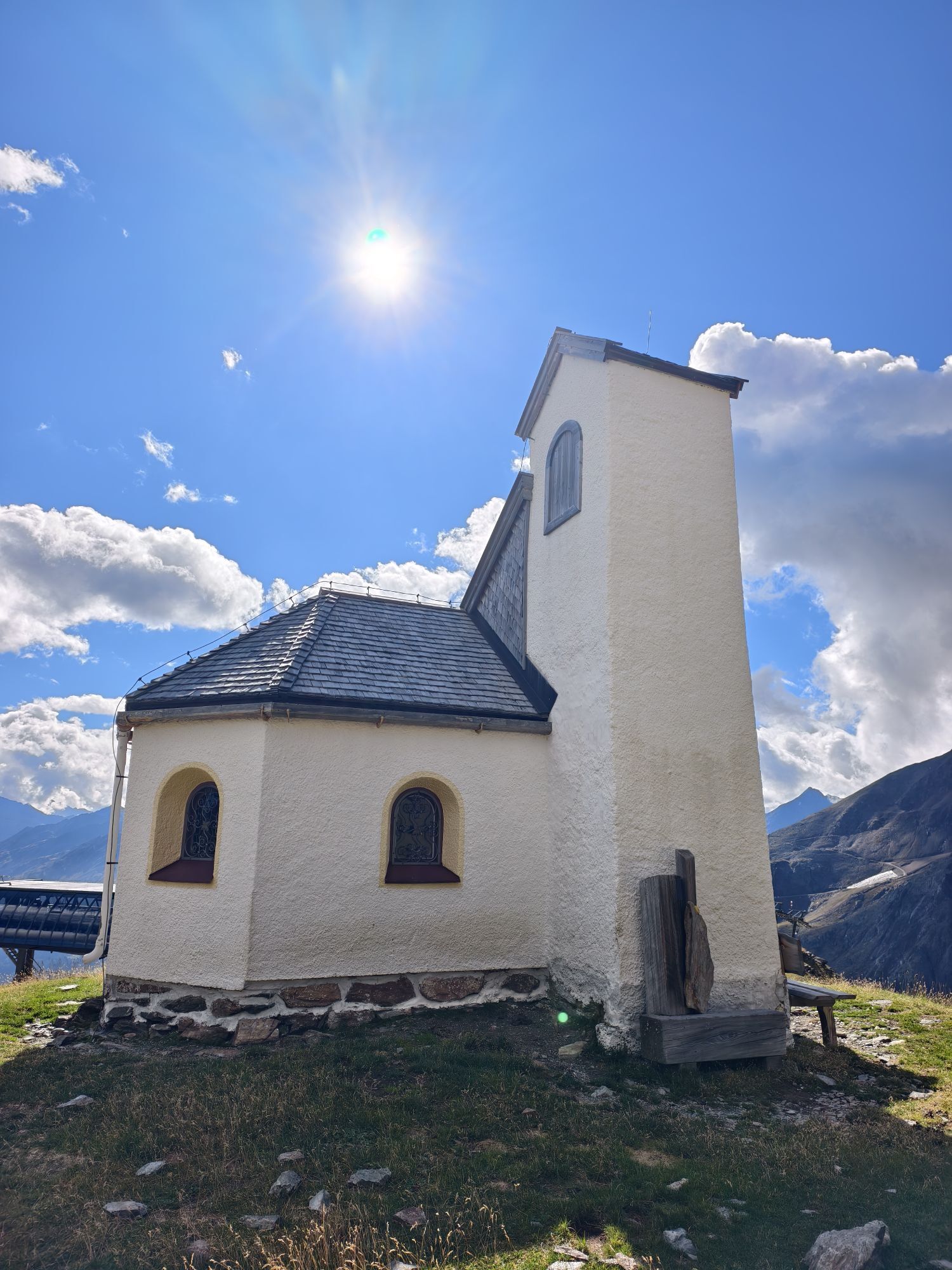
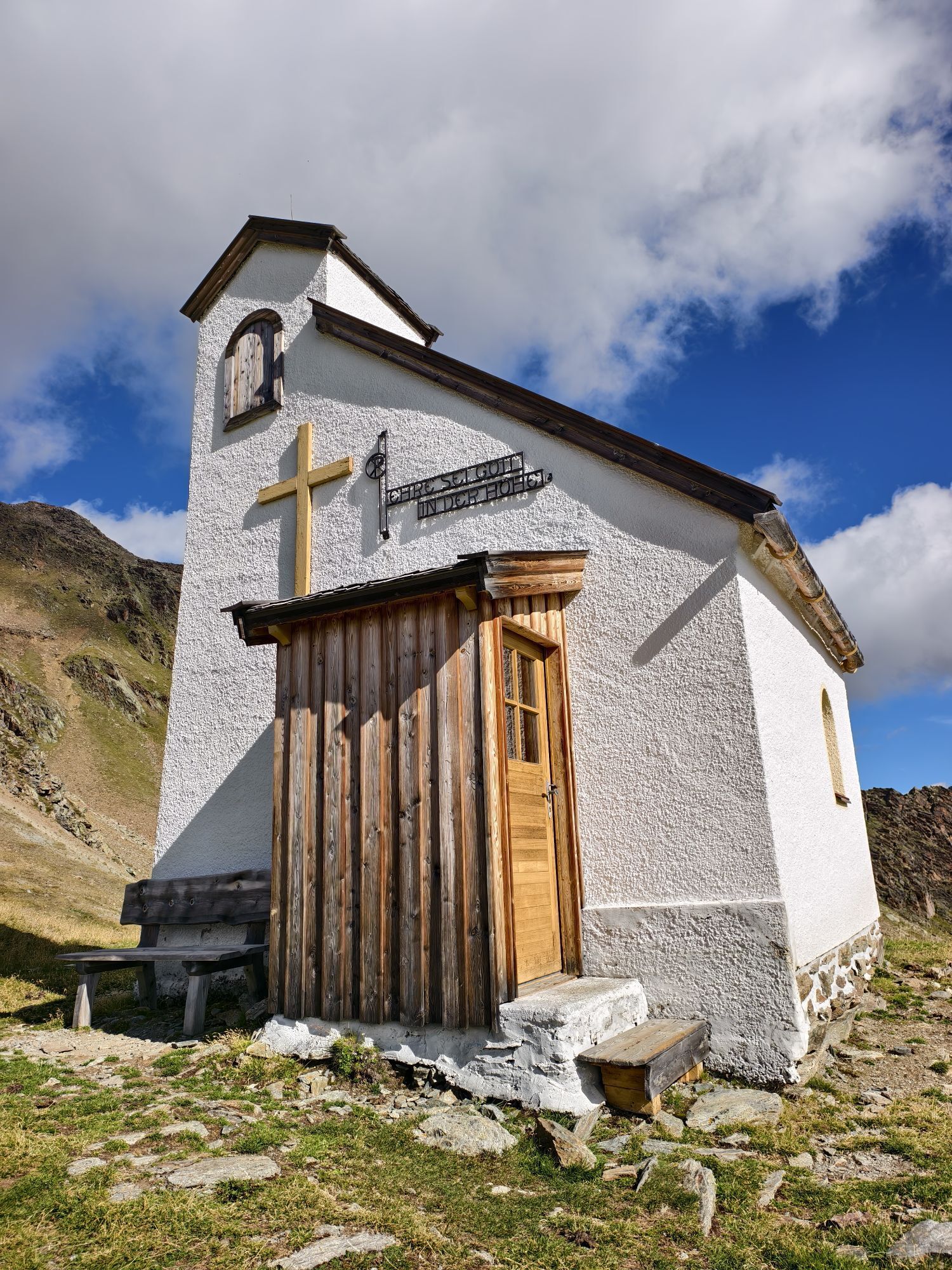
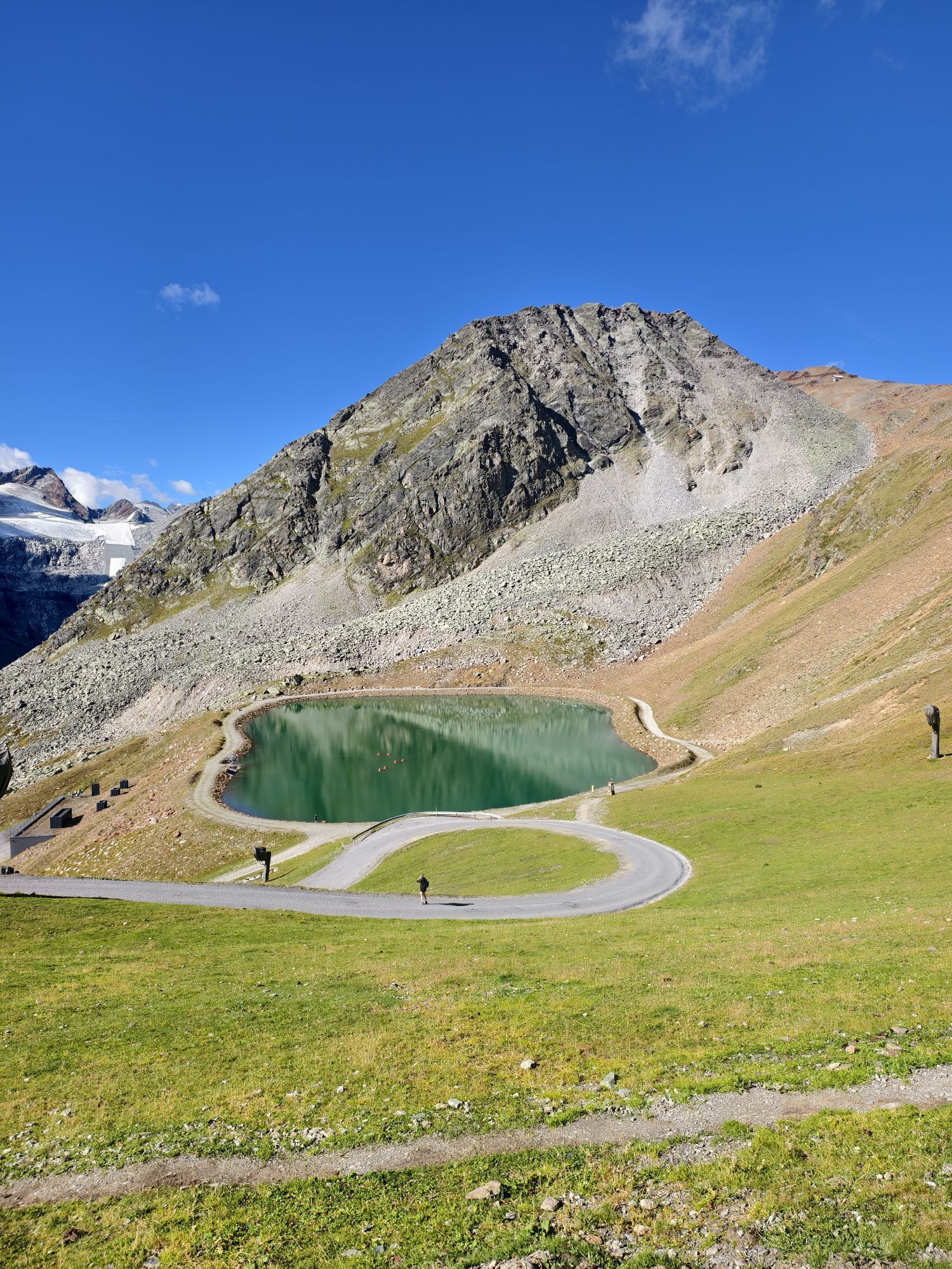
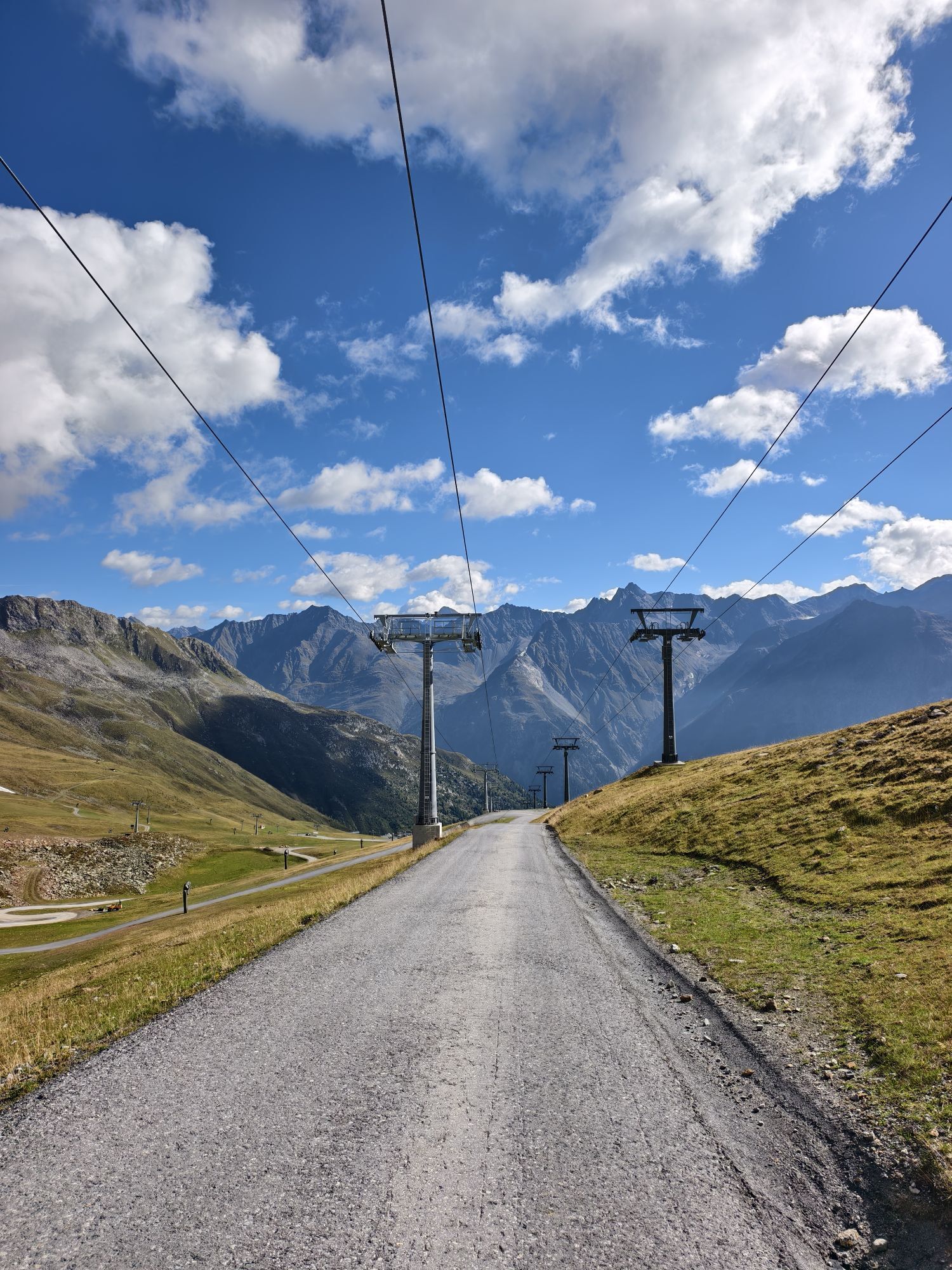
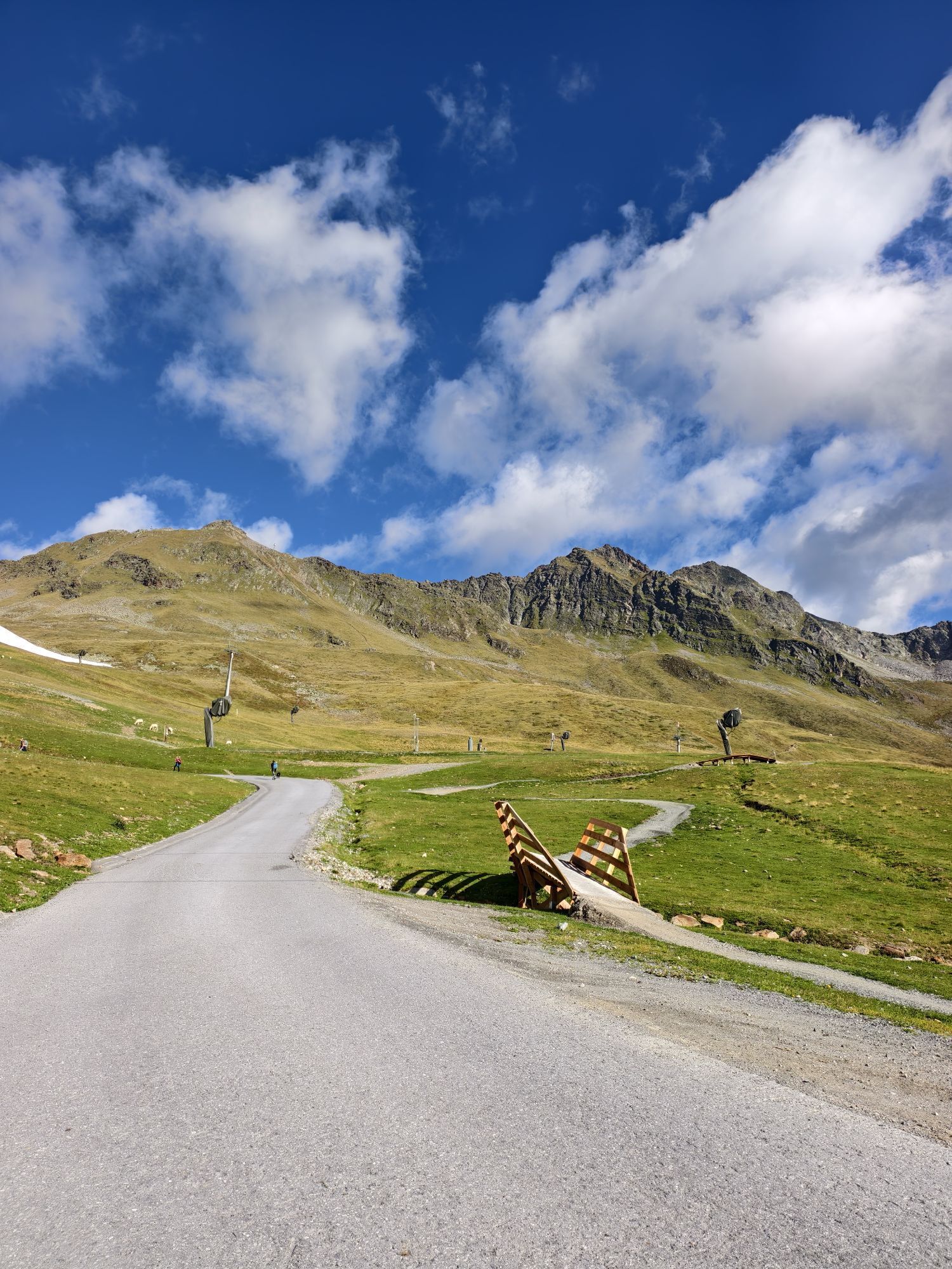
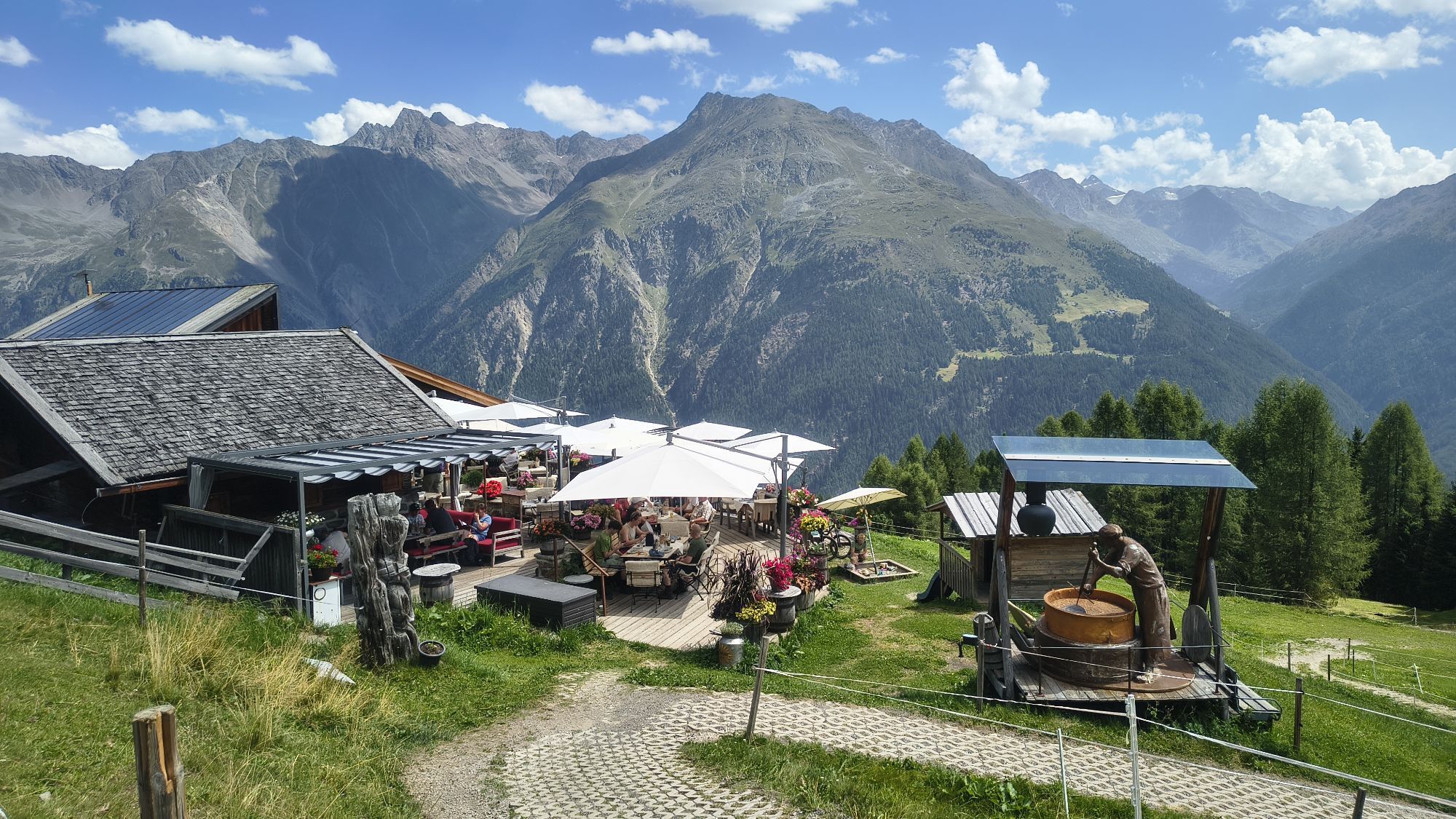
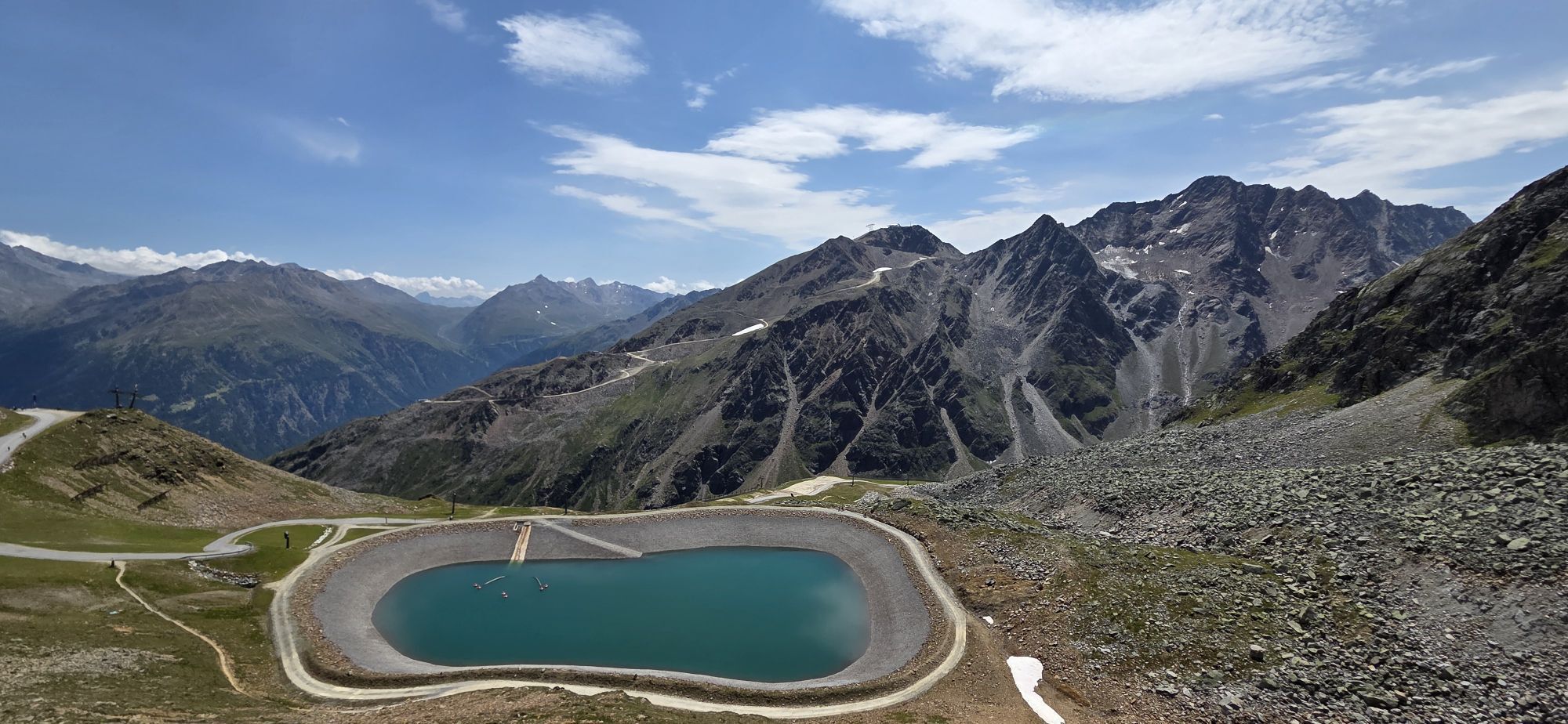
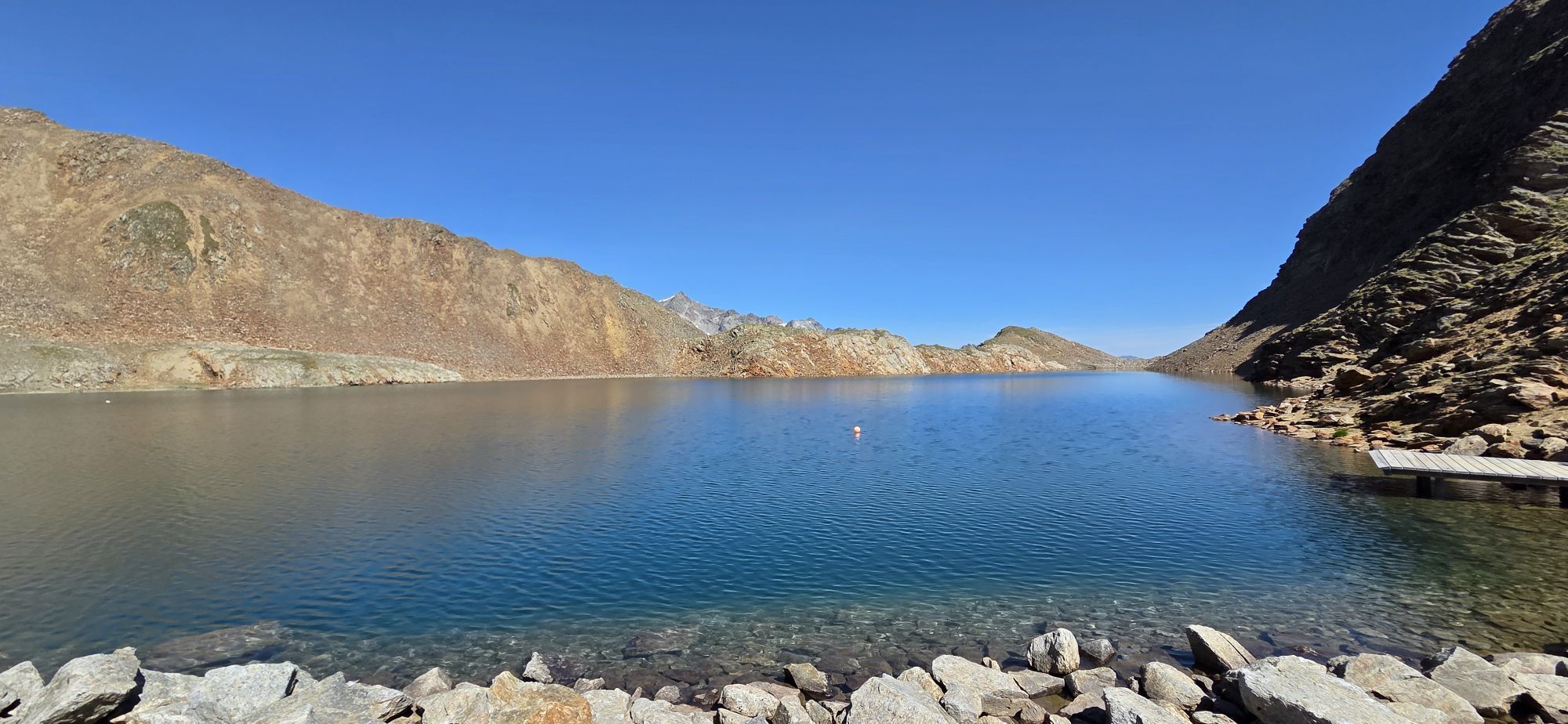
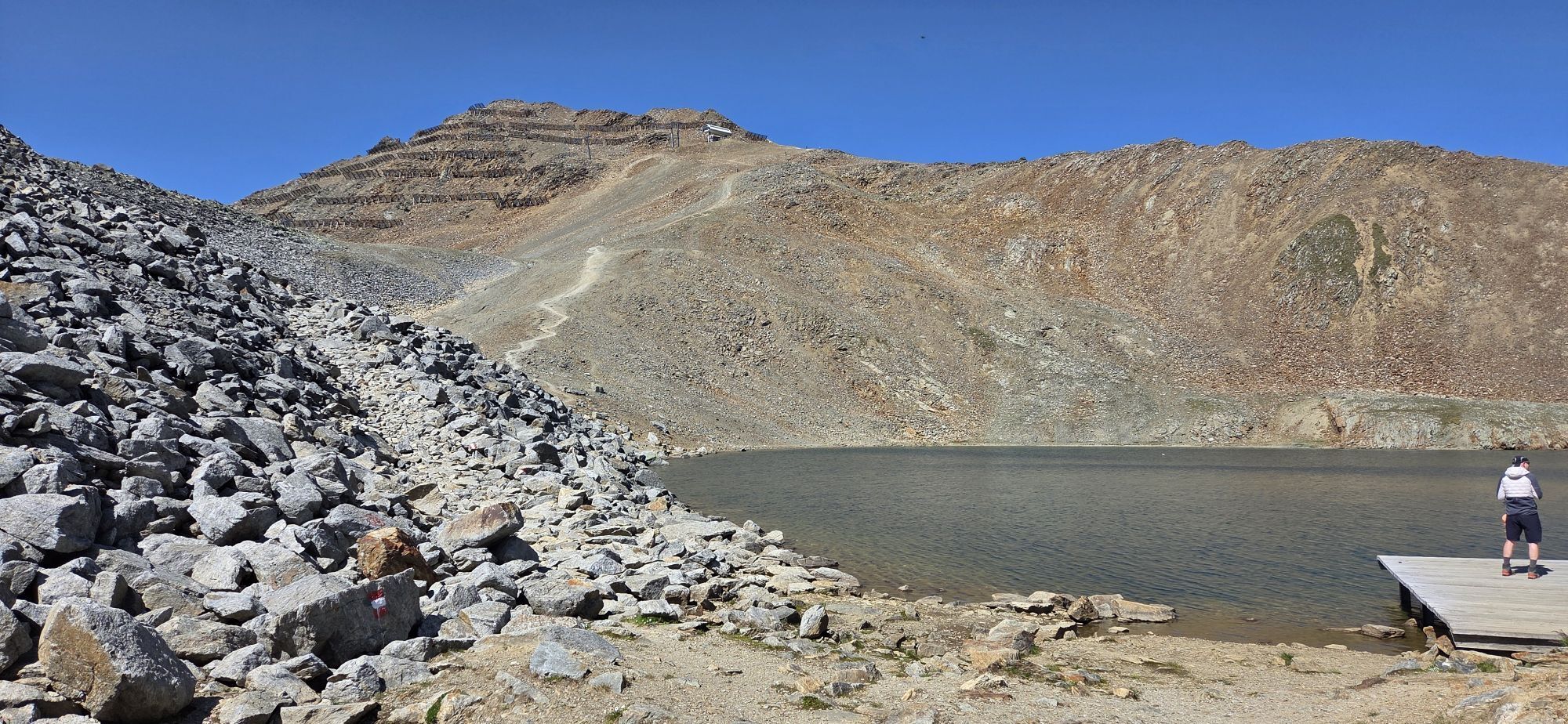
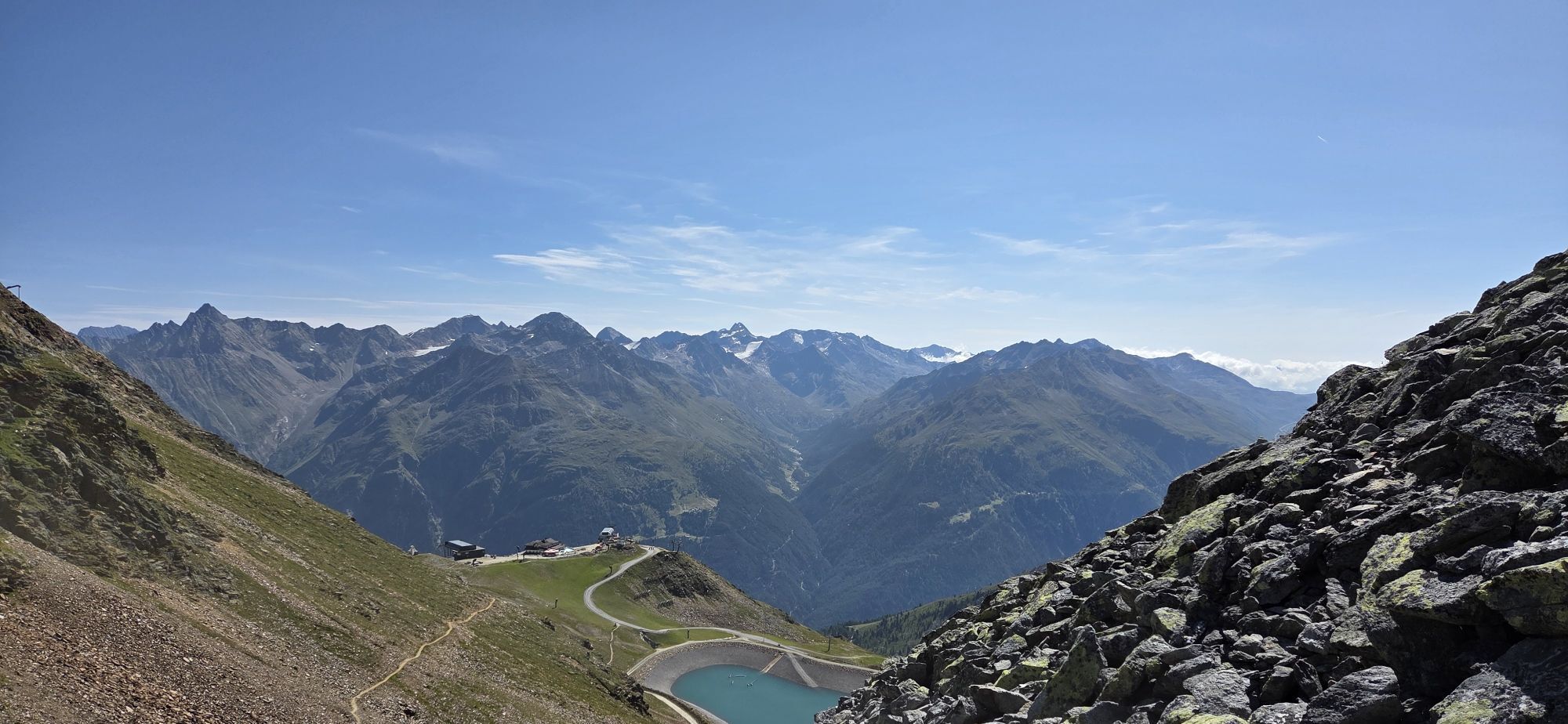
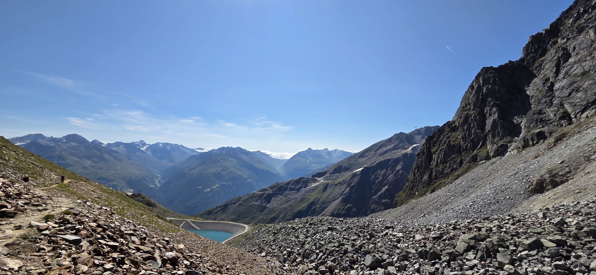
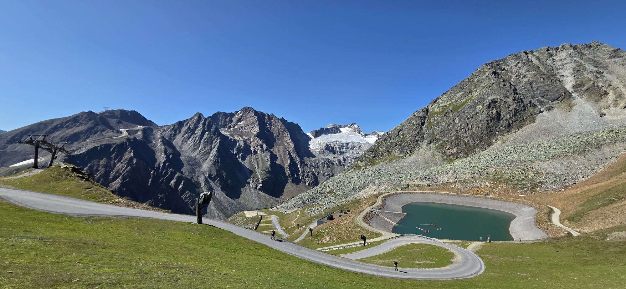
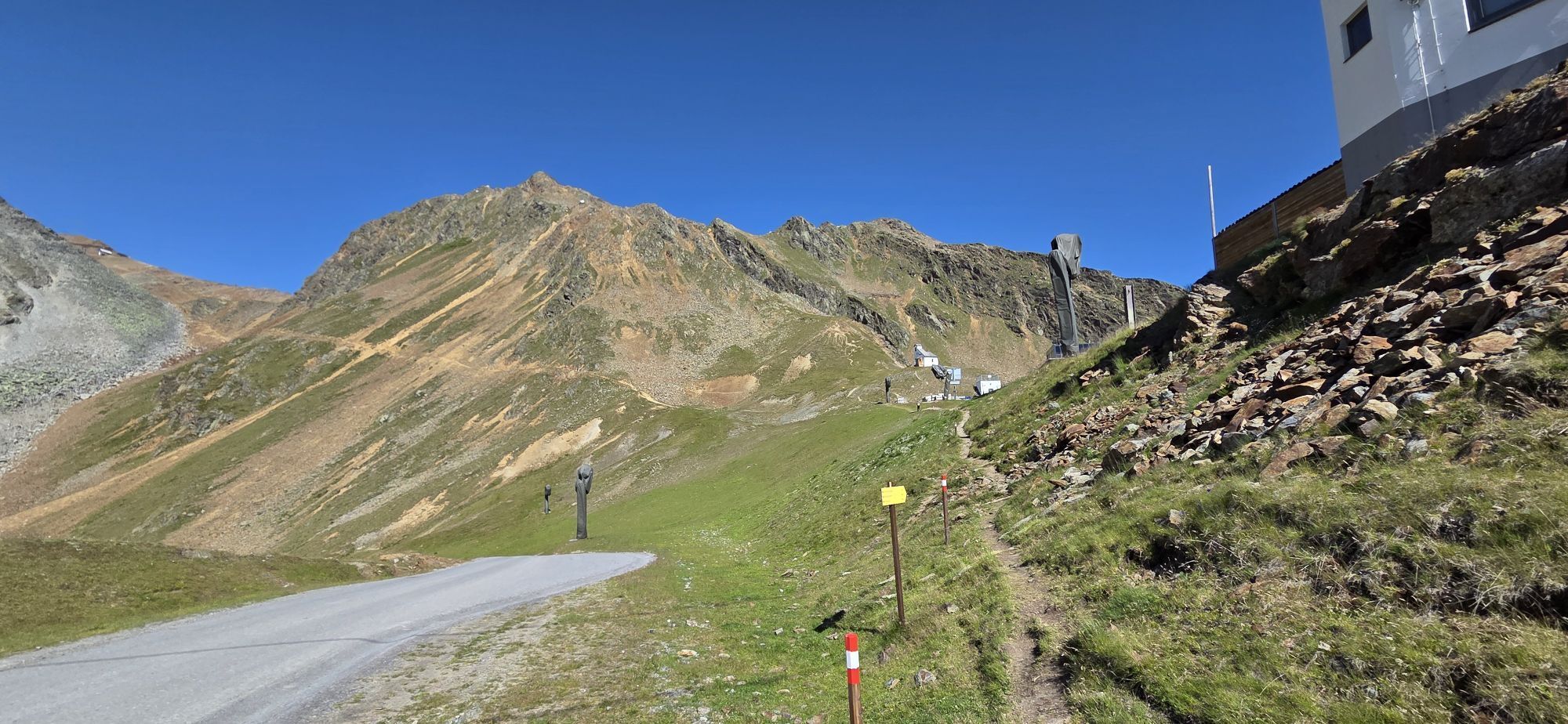
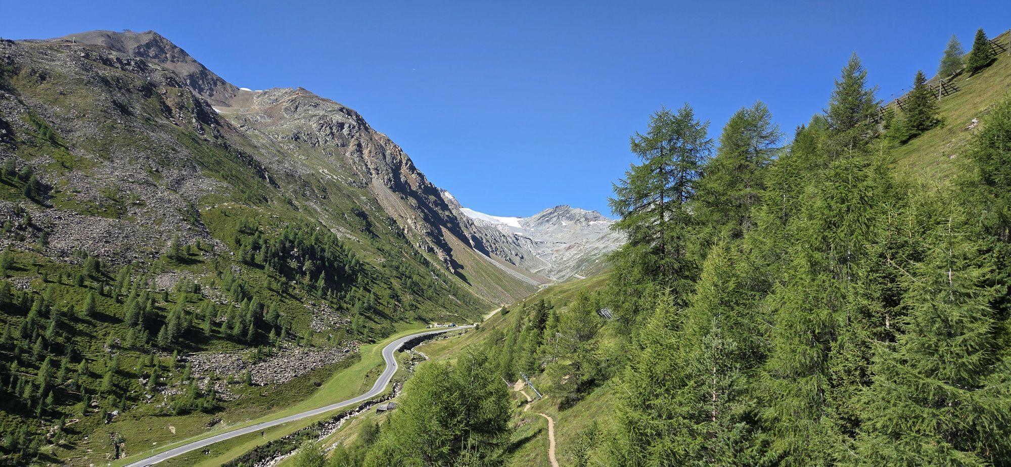
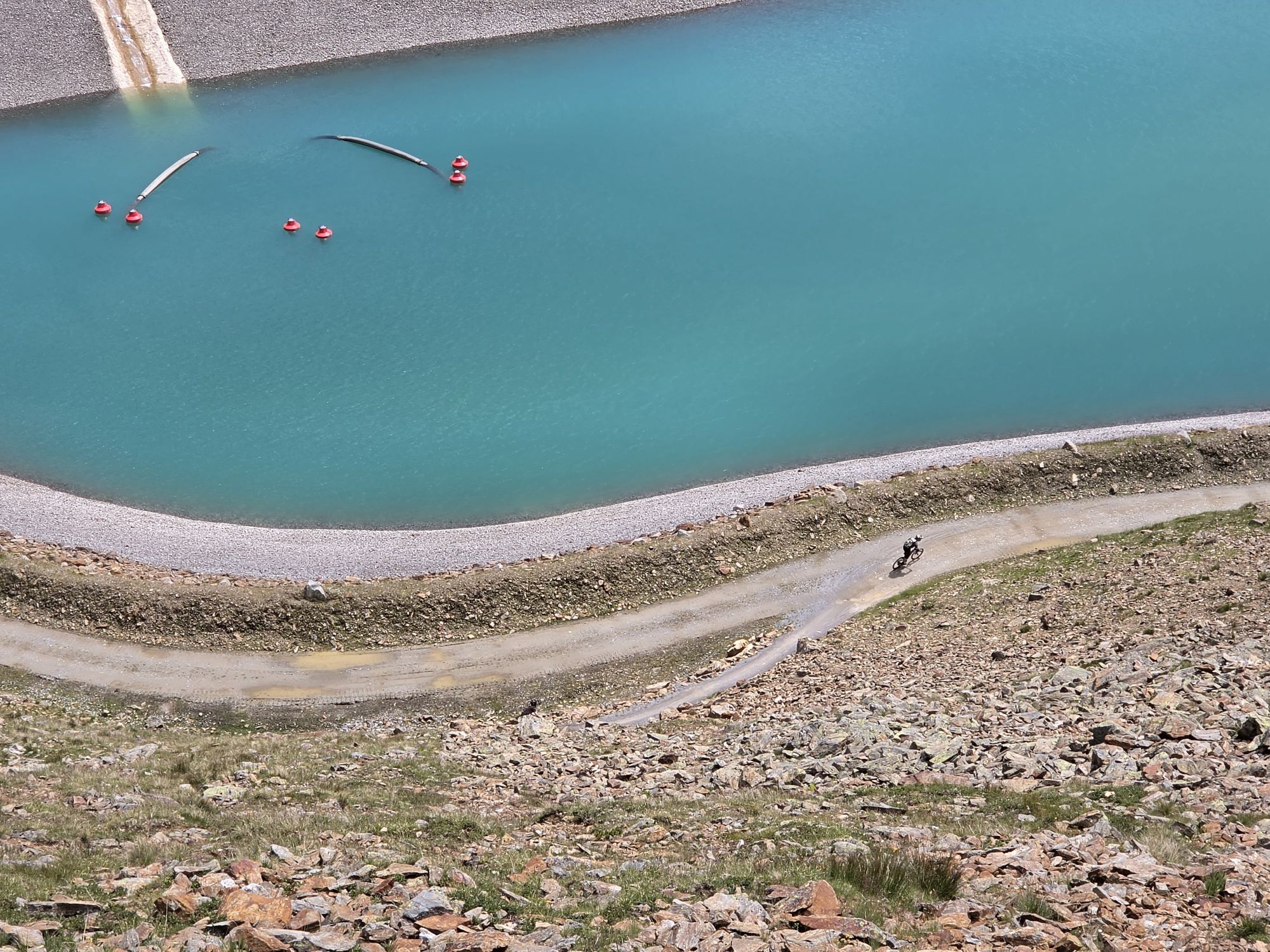
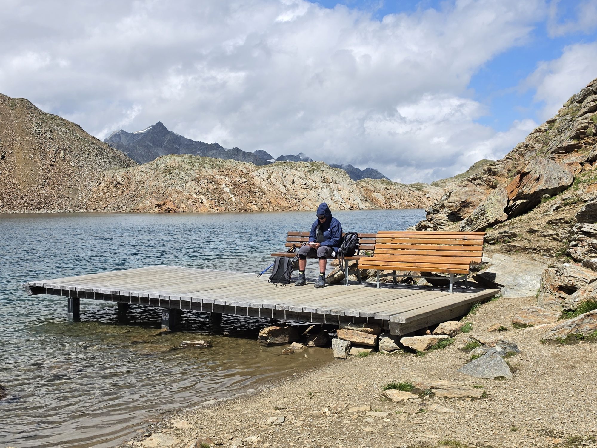
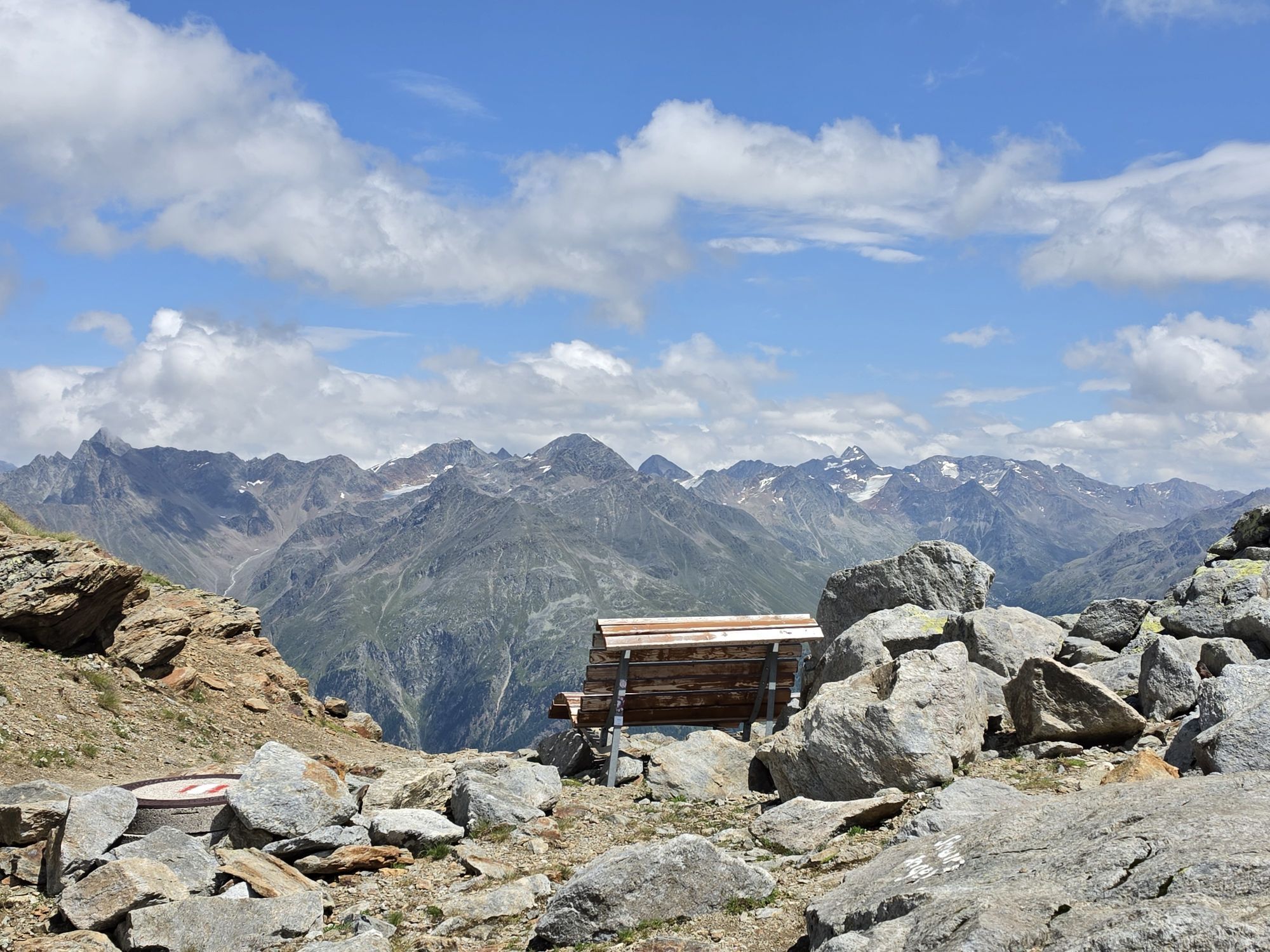
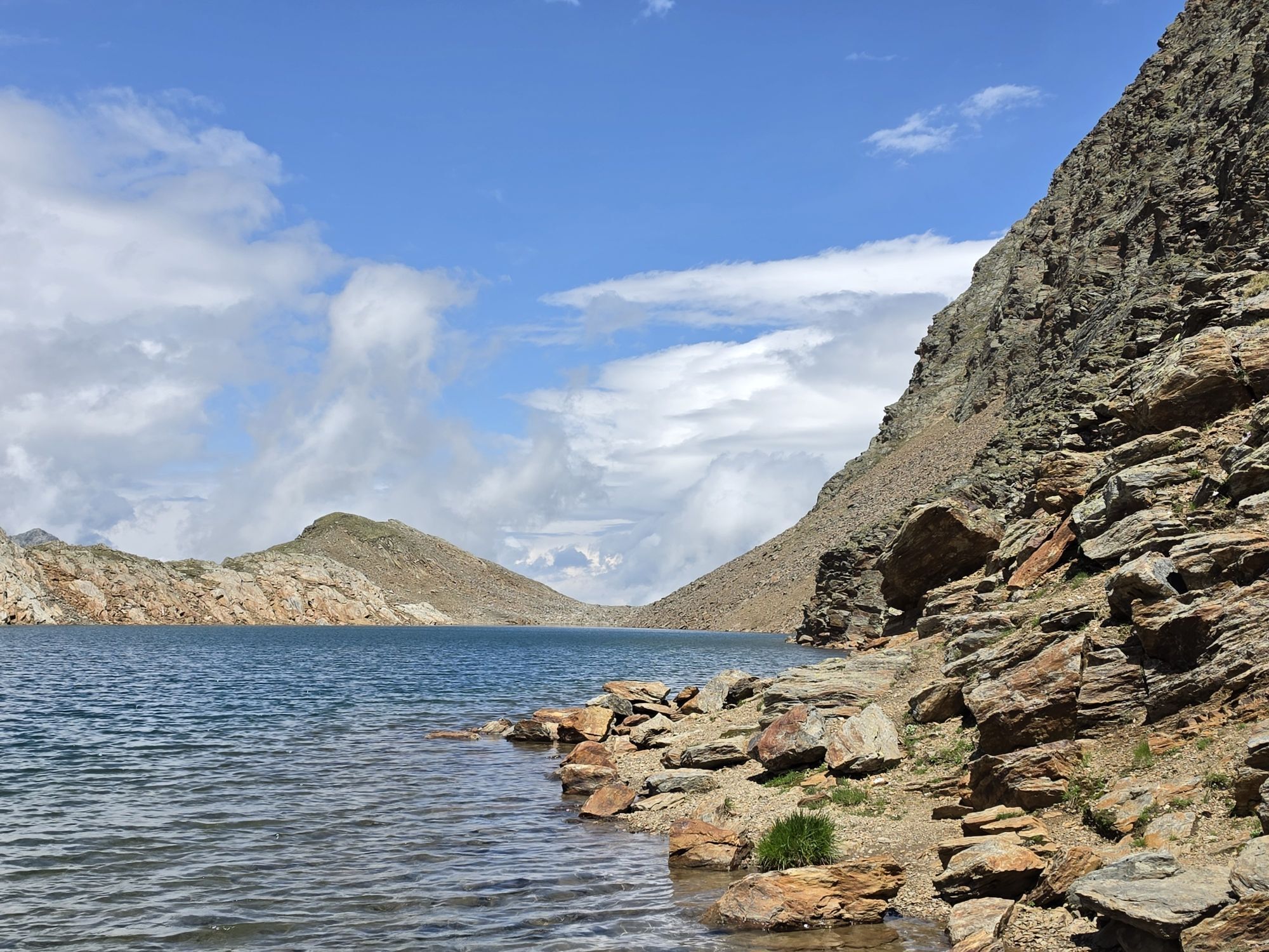
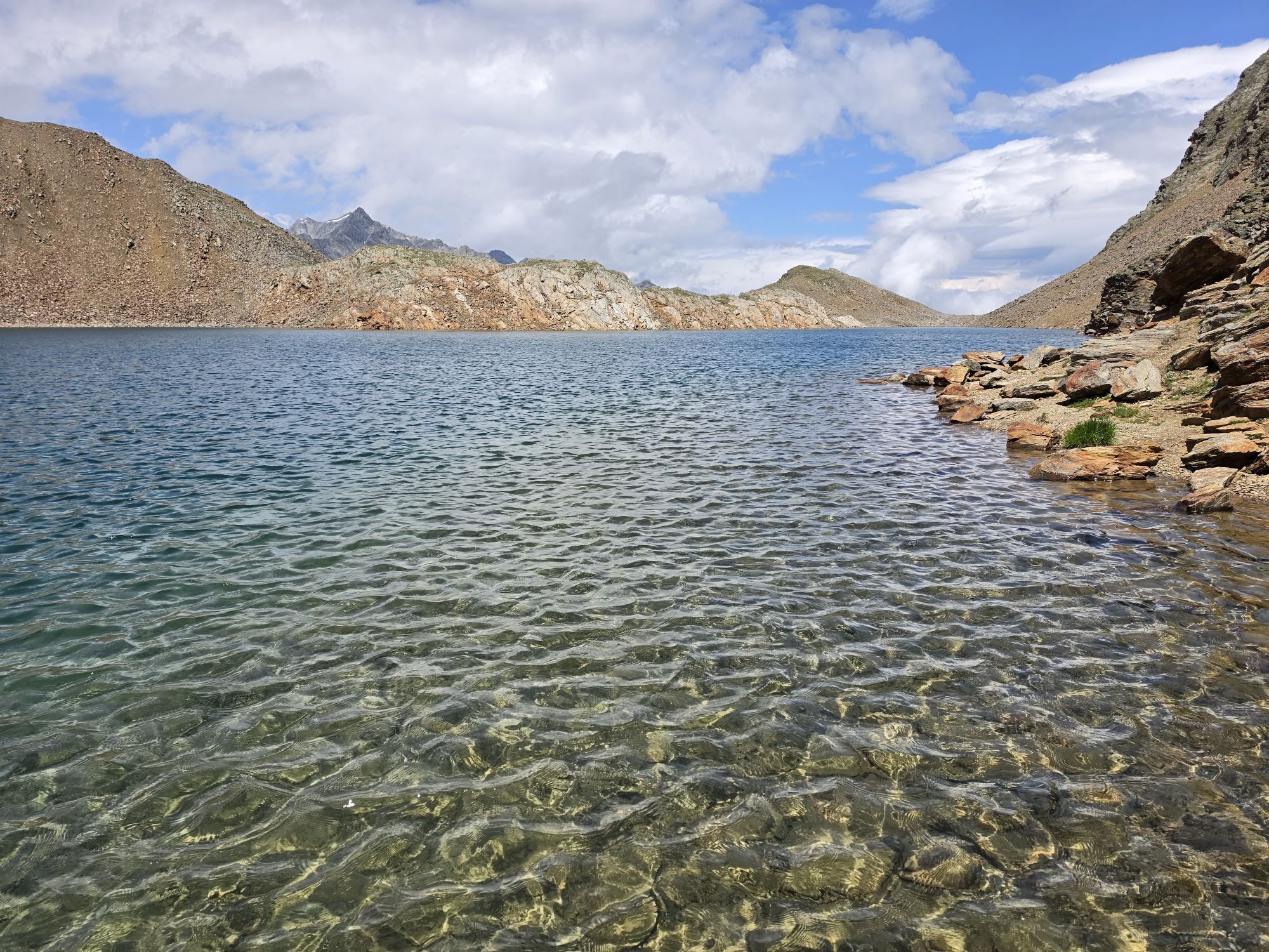
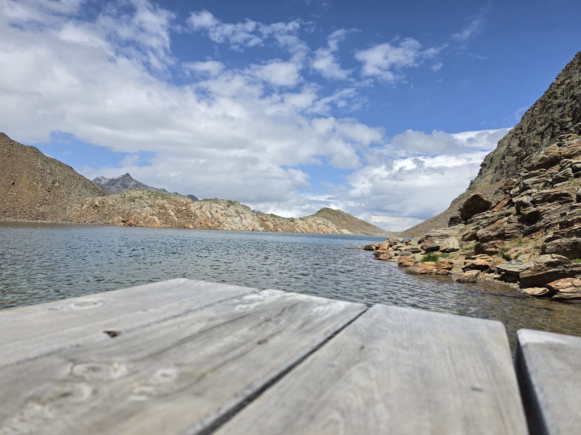
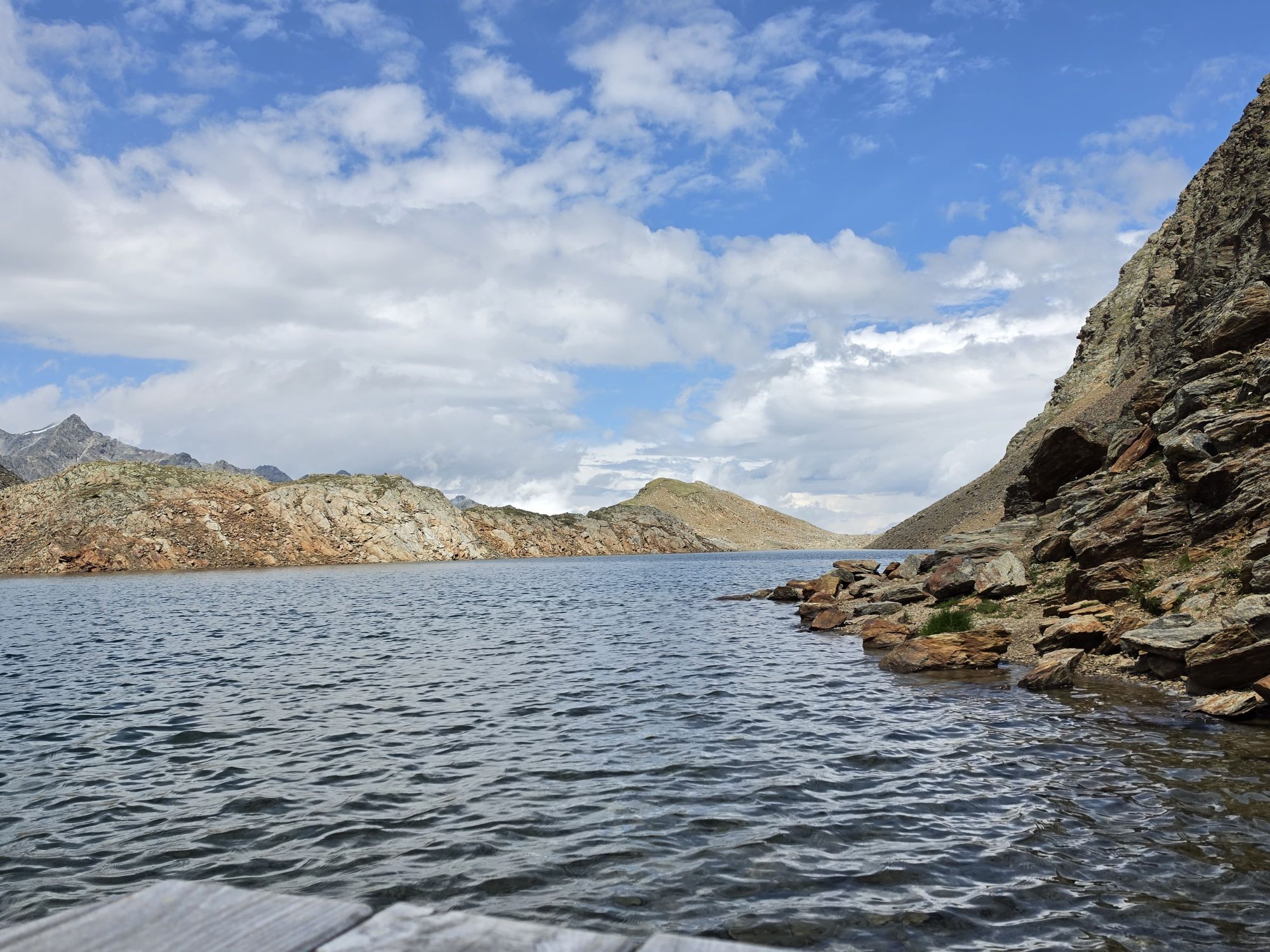
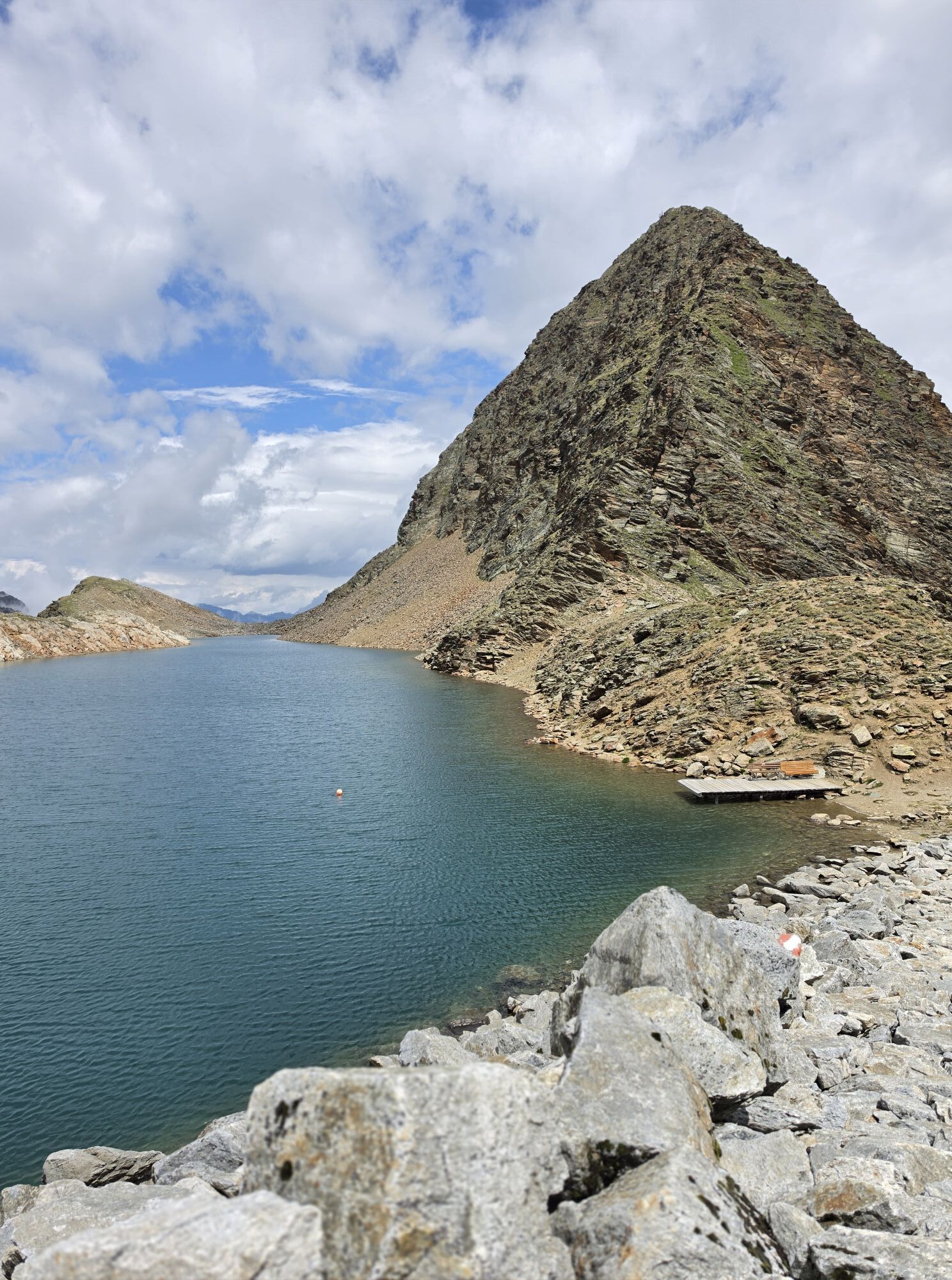
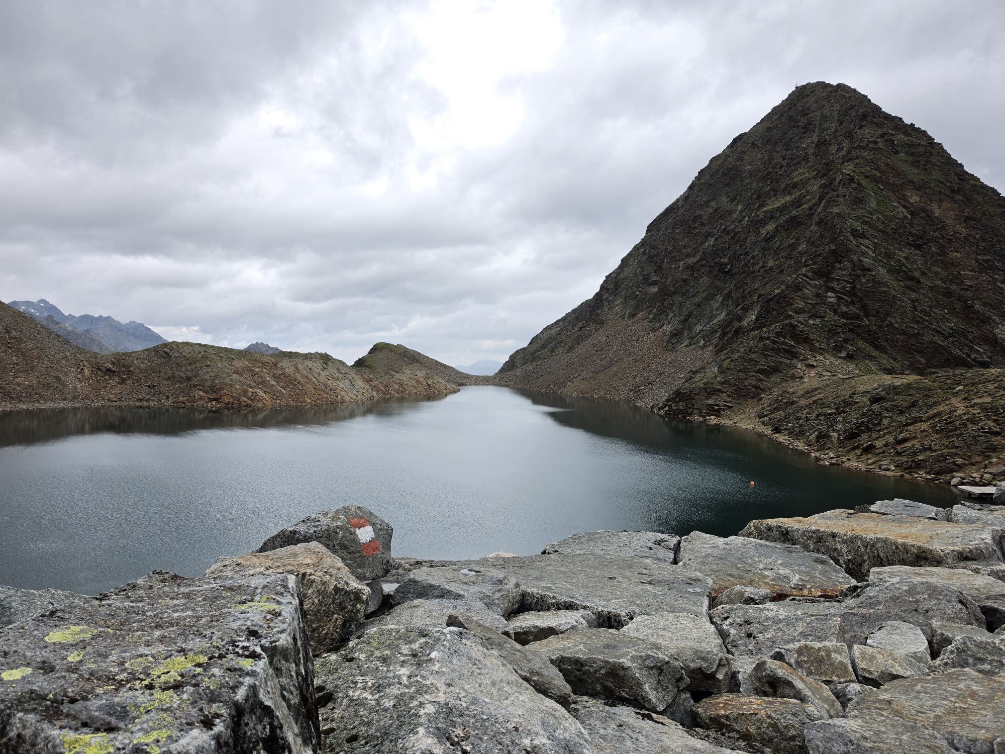
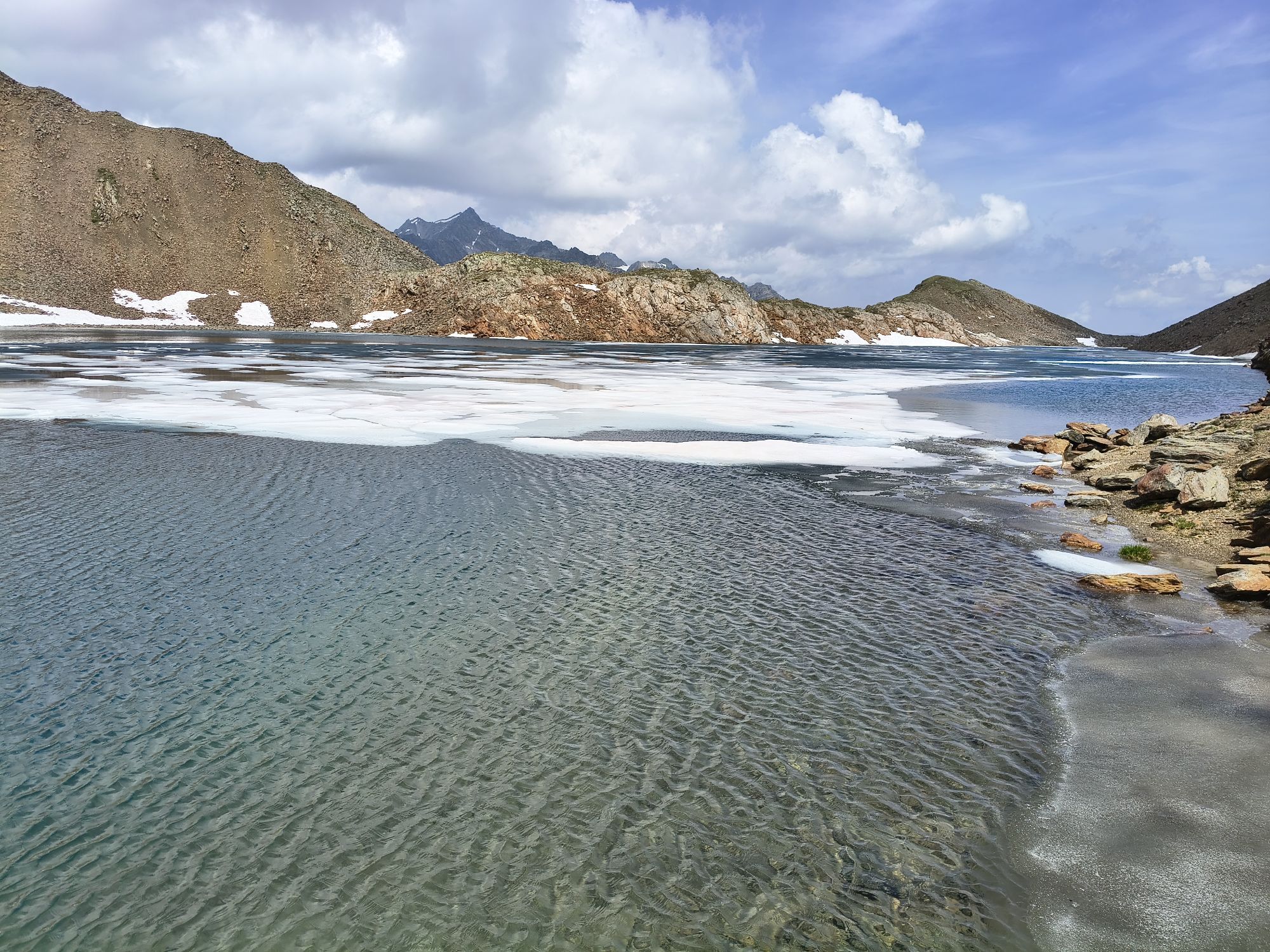
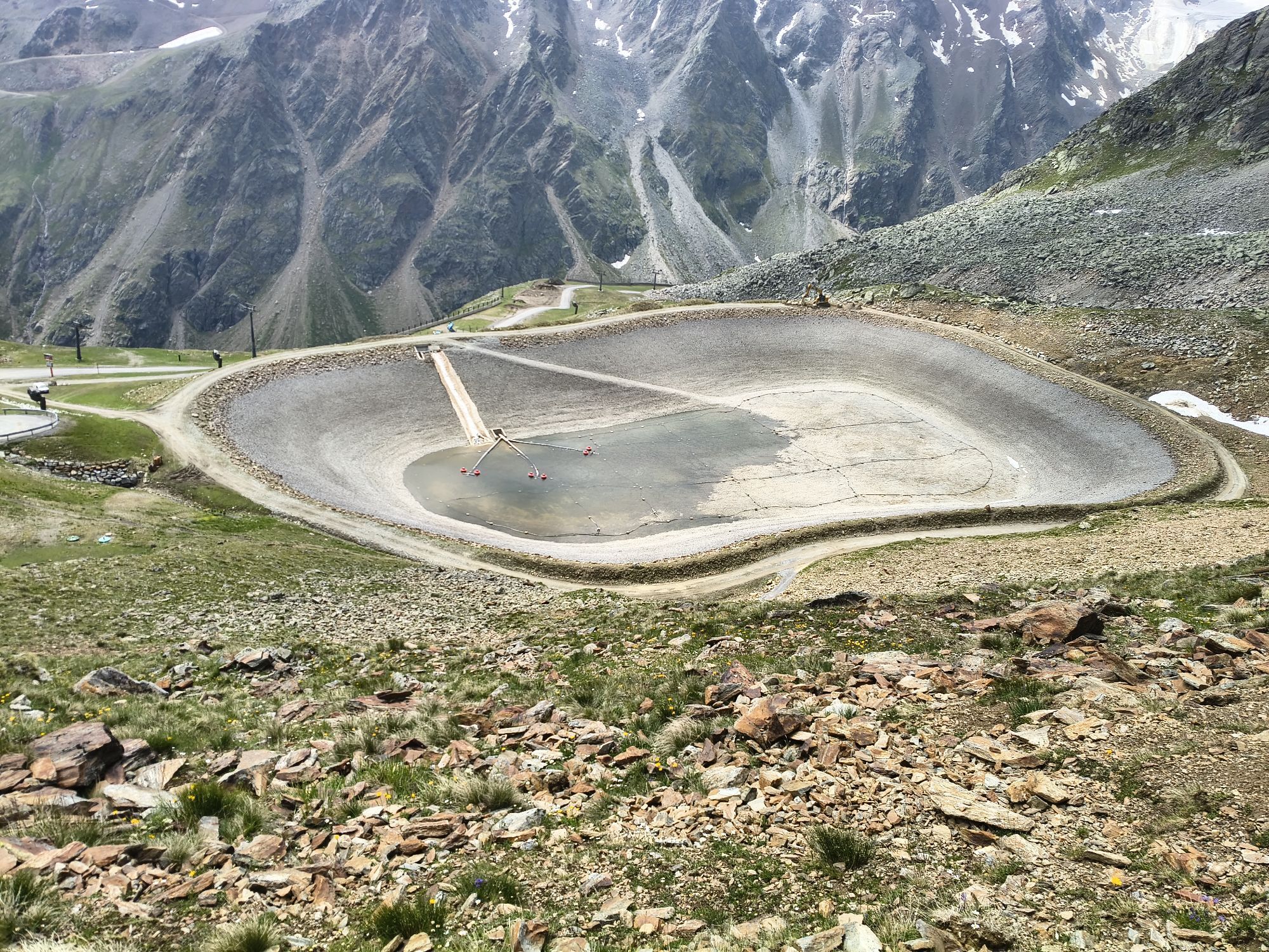
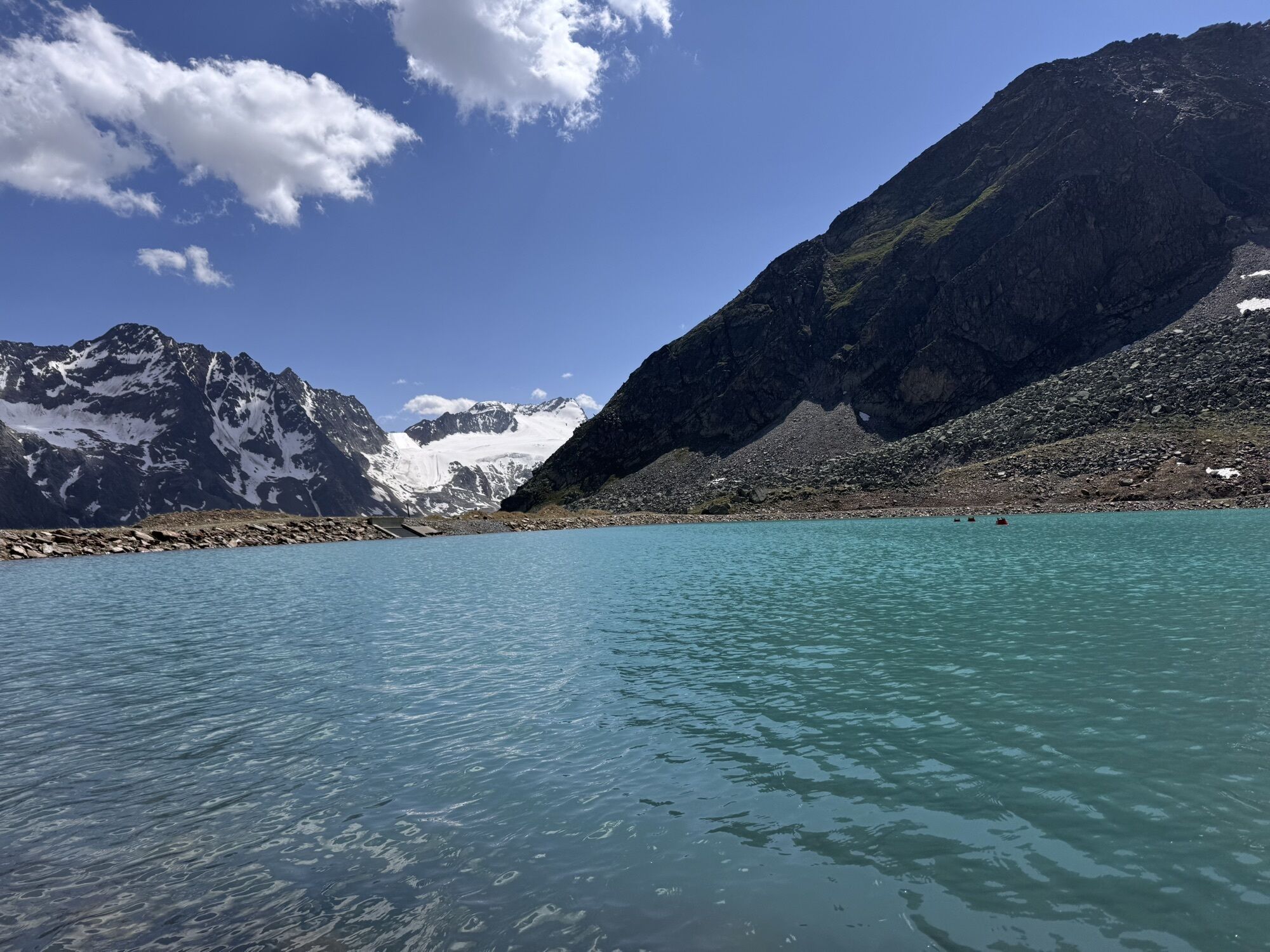
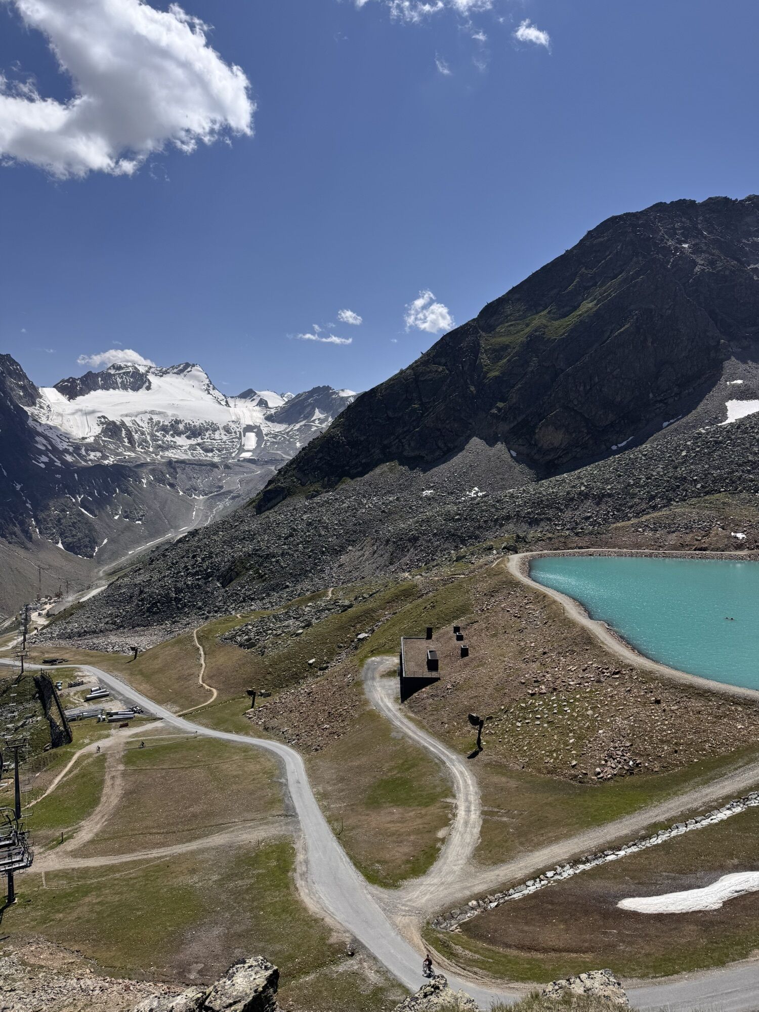
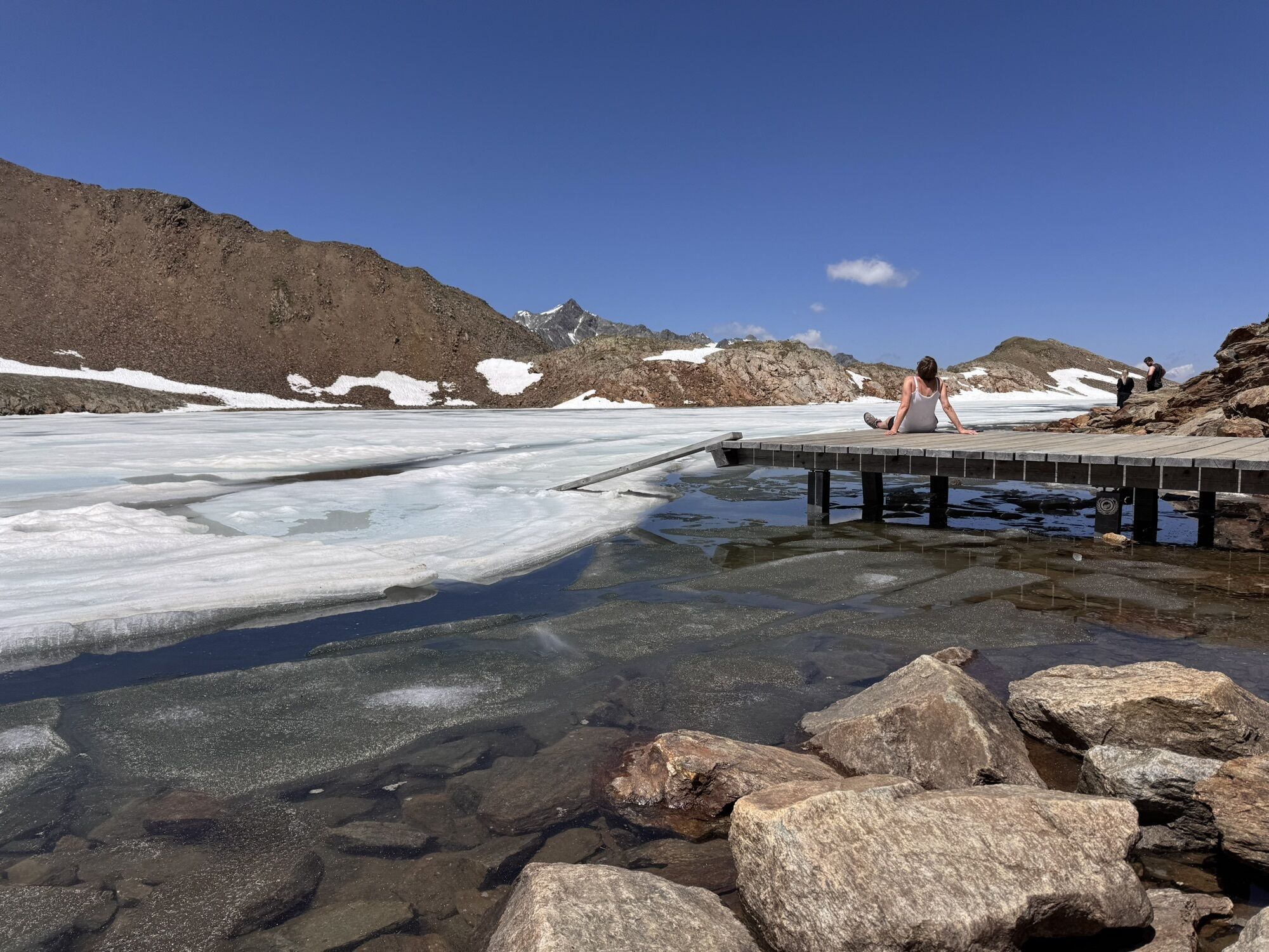
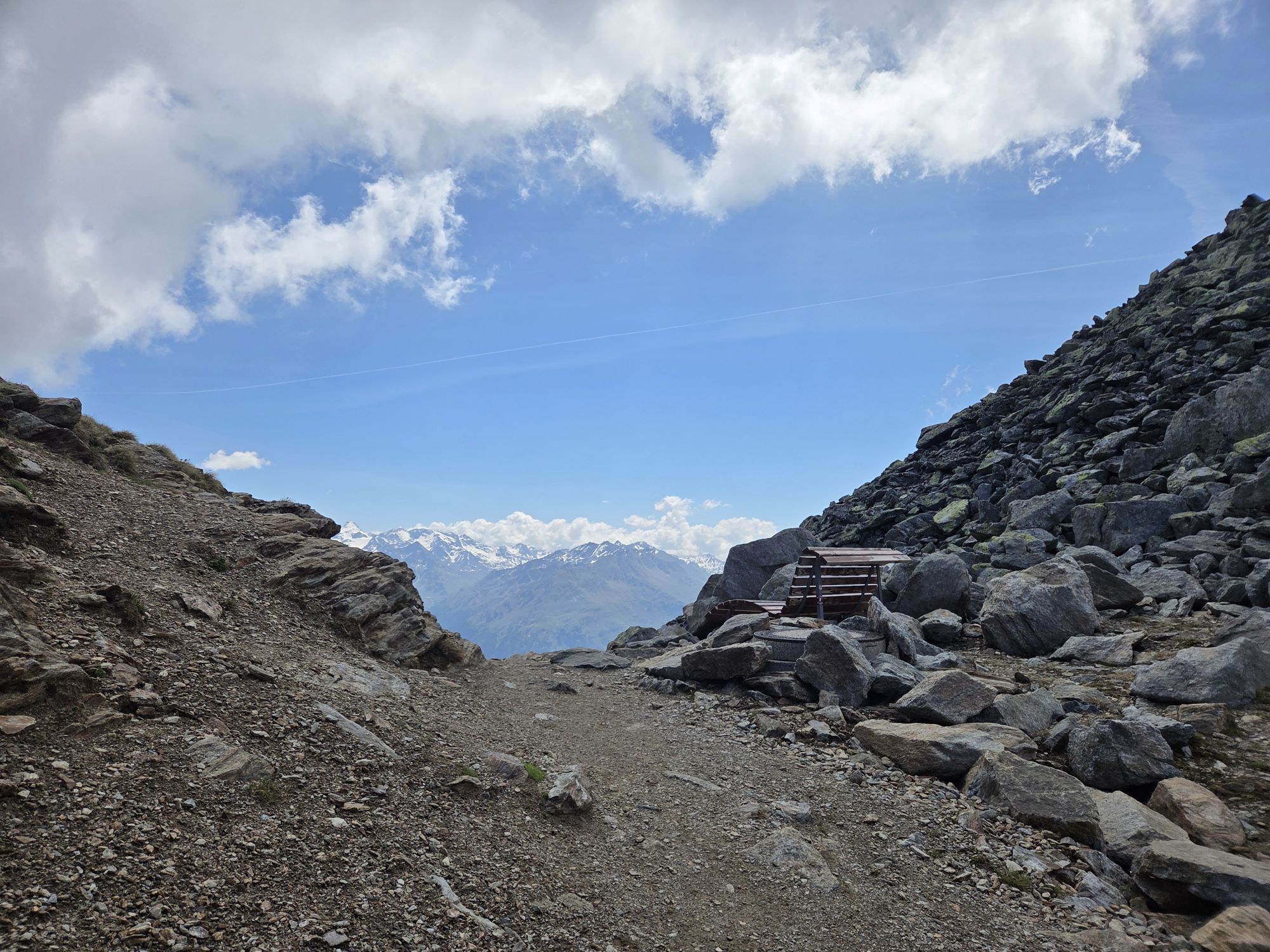
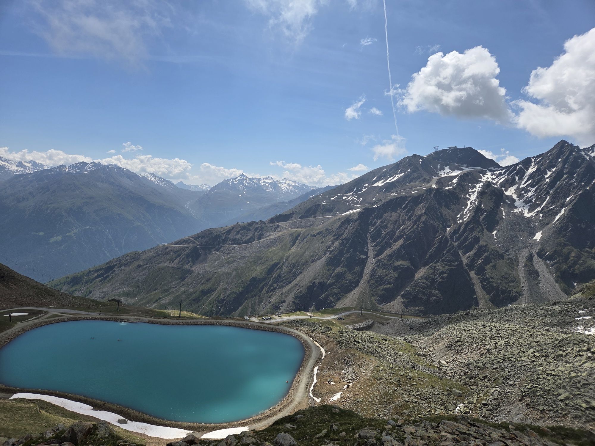
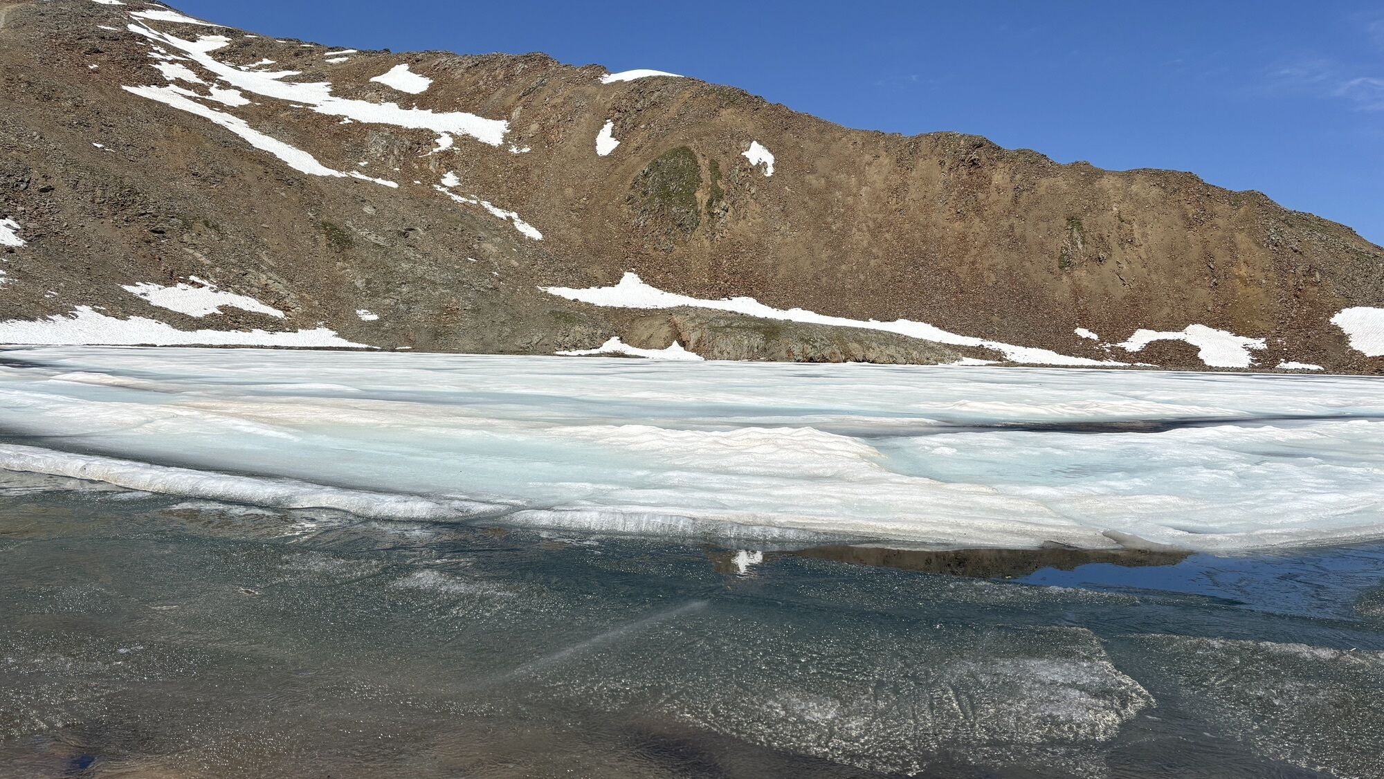
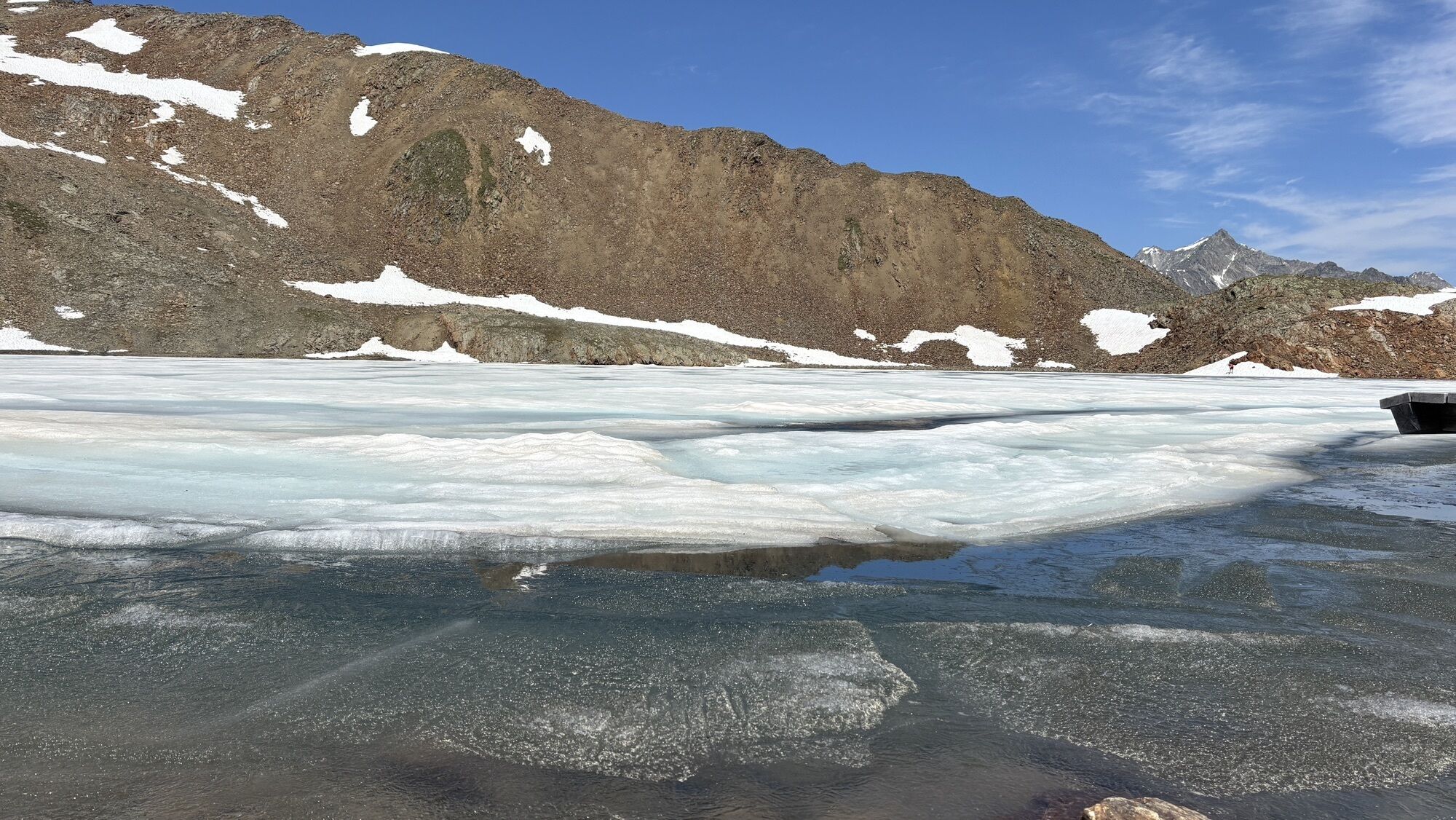
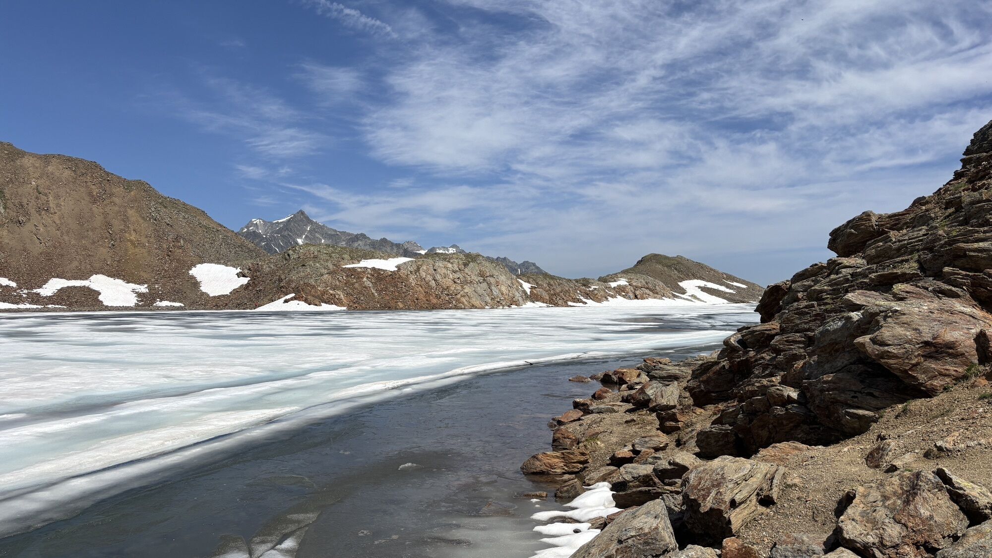
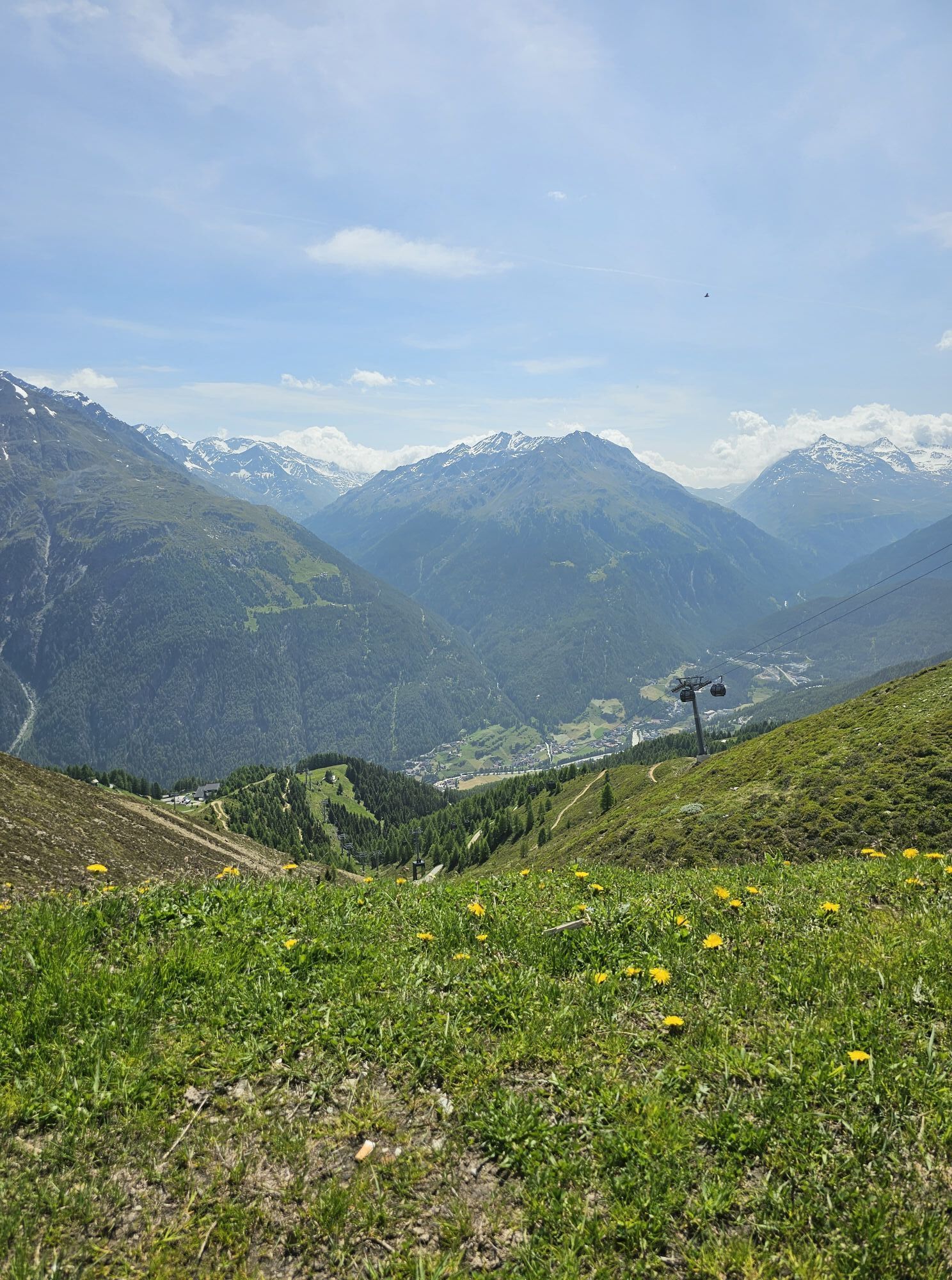
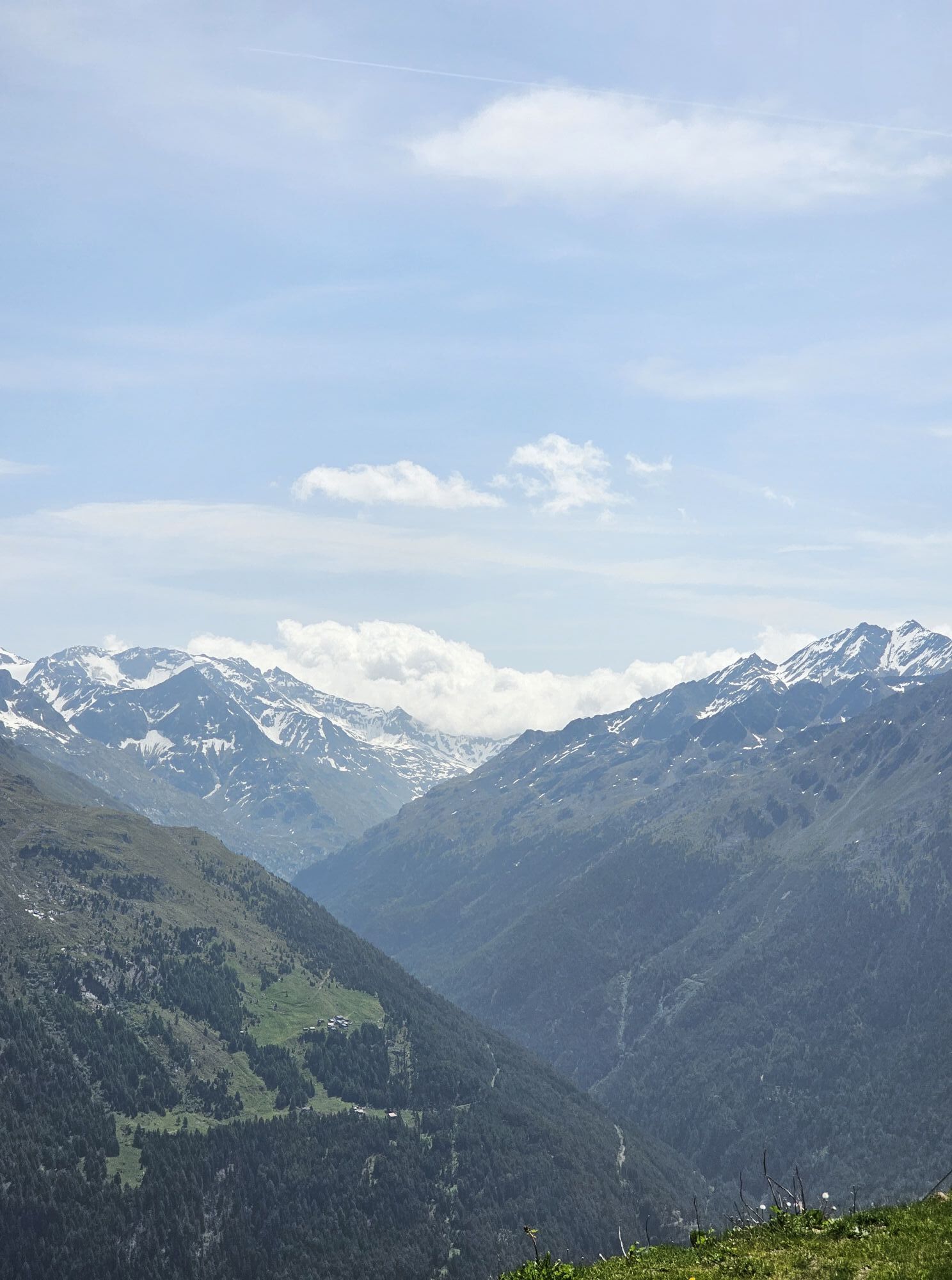
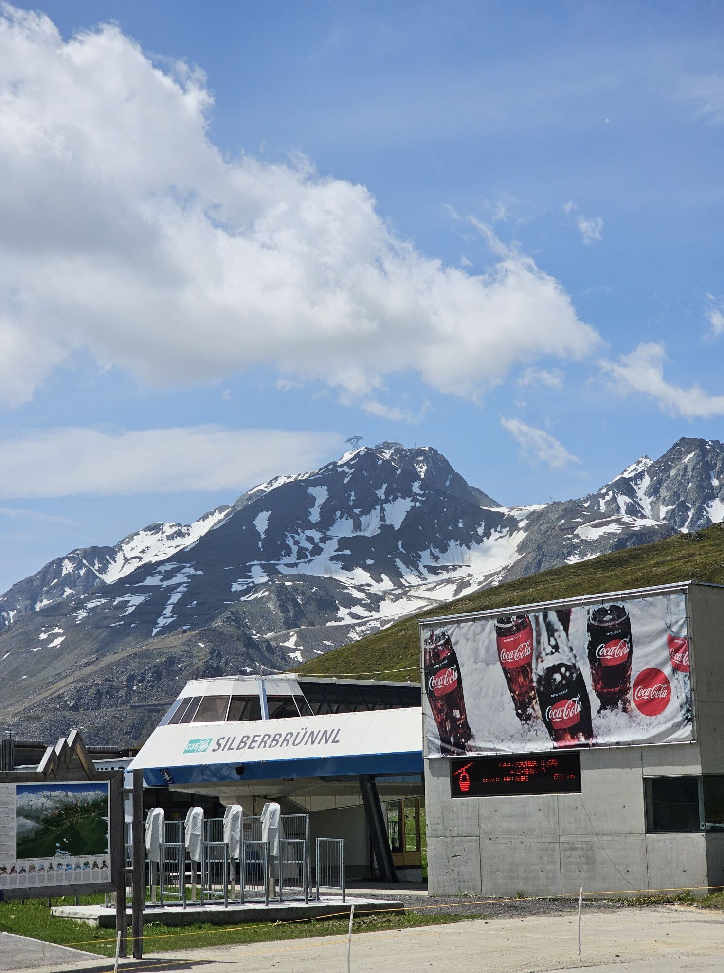
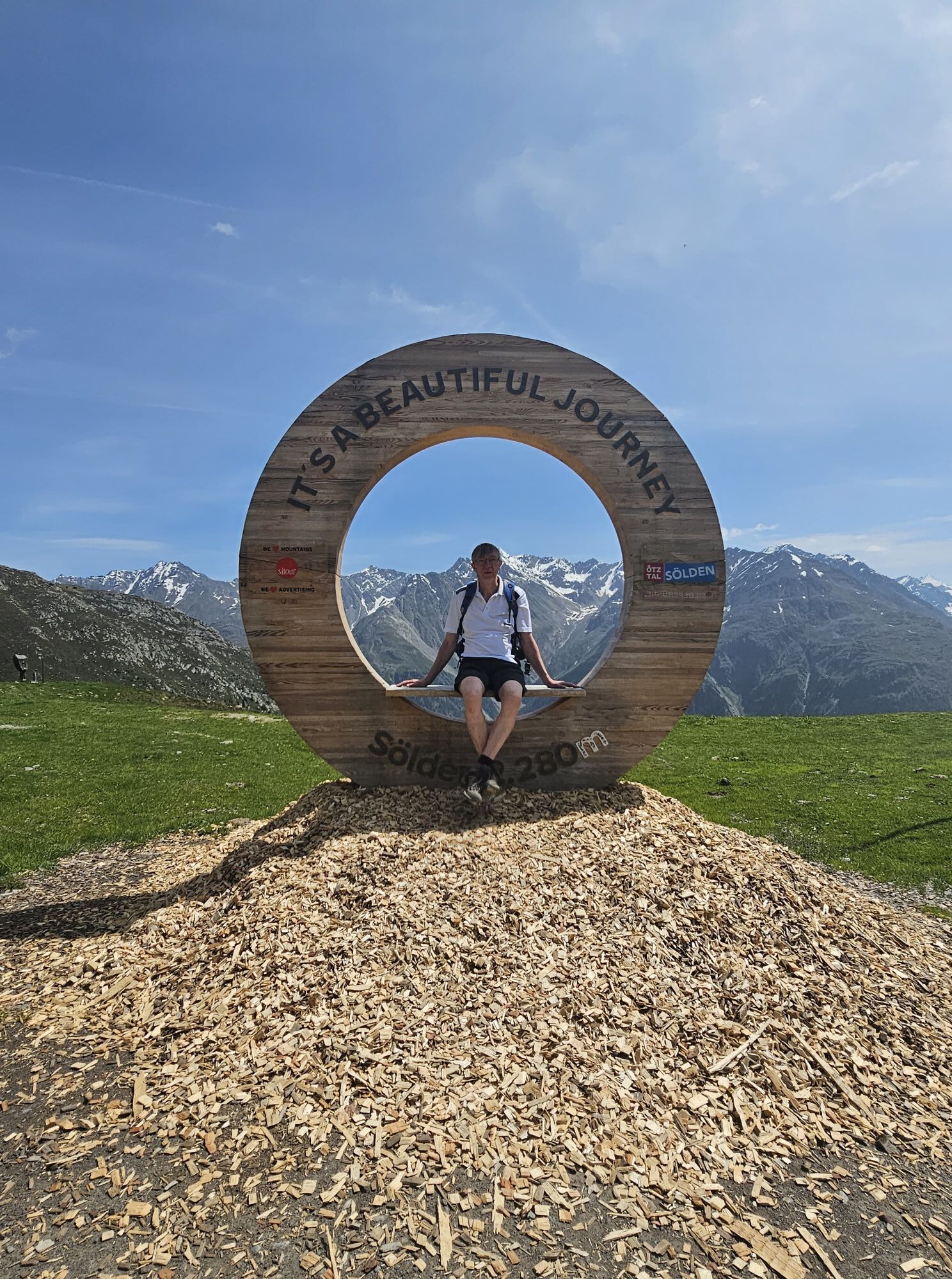
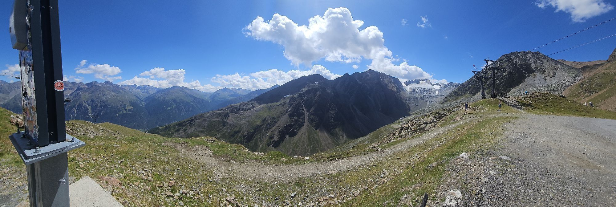
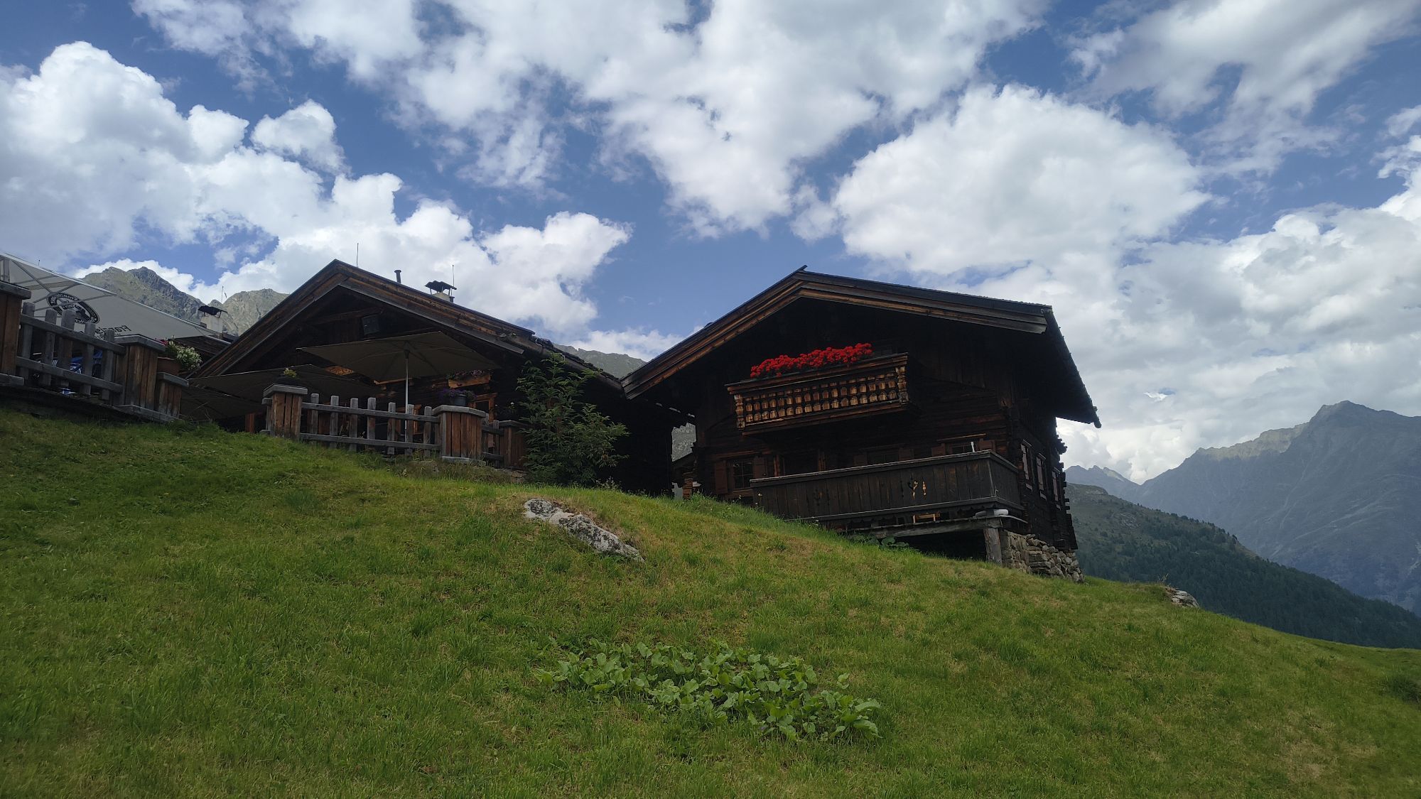
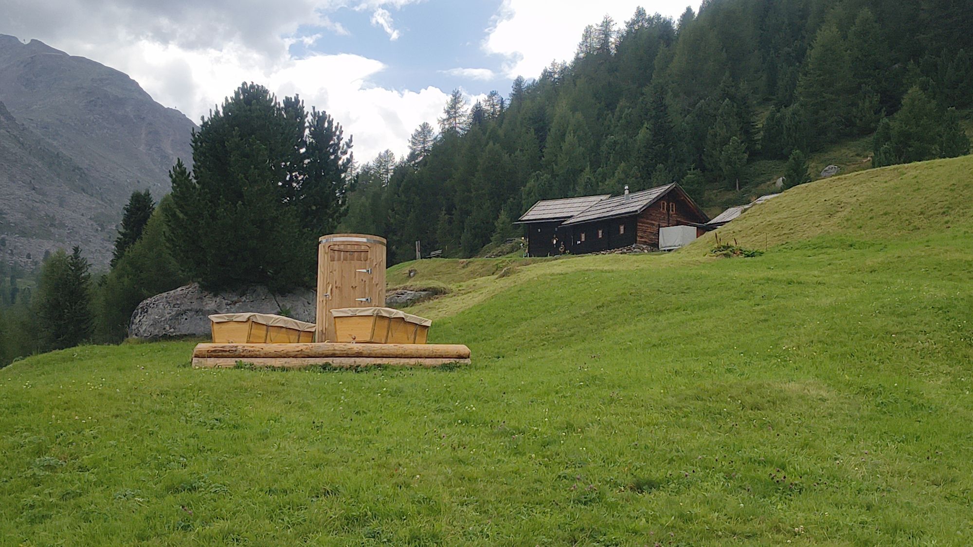
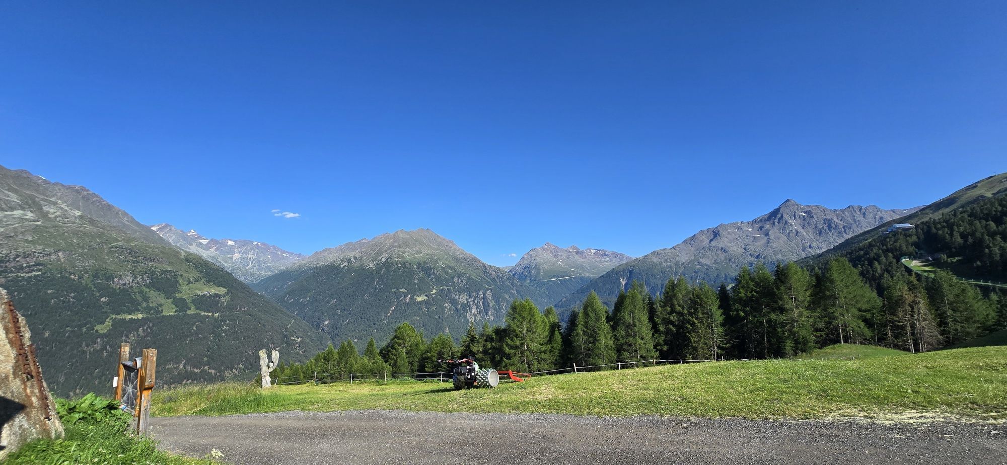
Ascent with the Giggijochbahn (2,284 m) - climb to the Rotkoglhütte (2,662 m) - Schwarzsee (2,800 m) - Schwarzkogl (3,016 m) - descent the same way or alternatively through the Große Rettenbachkar to the...
Ascent with the Giggijochbahn (2,284 m) - climb to the Rotkoglhütte (2,662 m) - Schwarzsee (2,800 m) - Schwarzkogl (3,016 m) - descent the same way or alternatively through the Große Rettenbachkar to the Rettenbach Alm (2,145 m) to Sölden

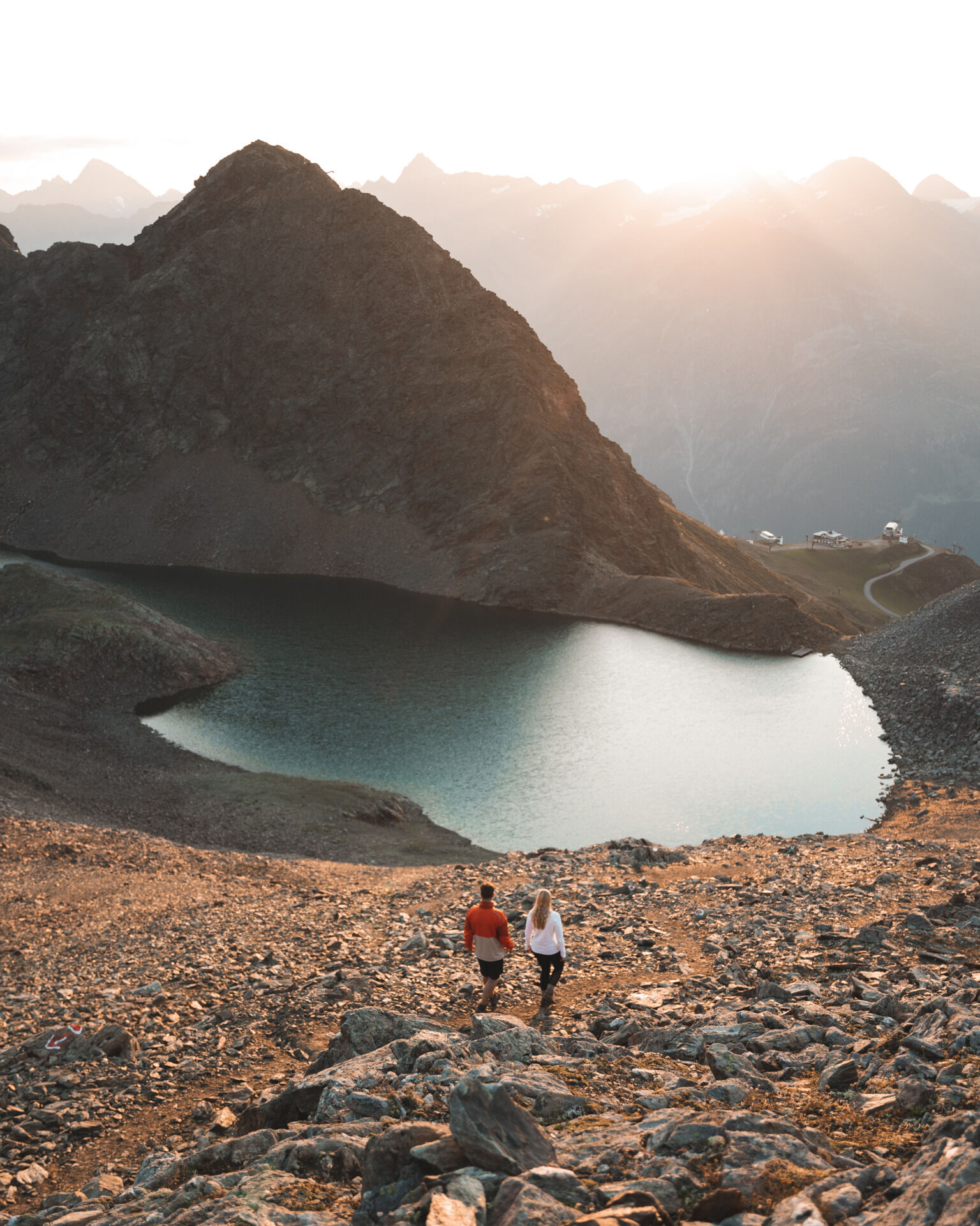

marked, good hiking path
Tak
Tak
The car journey to ÖTZTAL. Located in Tyrol, the ÖTZTAL branches off to the south as the longest side valley of the Eastern Alps. Travelling by car takes visitors through the Inn valley to the valley entrance and further along the Ötztal. Besides the toll motorway, country roads can also be used. You can quickly and conveniently plan your trip with the route planner: To the route planner: https://www.google.at/maps
Travel comfortably and safely by train to the Ötztal station. The final stop or exit point is ÖTZTAL station. Afterwards, you can travel conveniently and quickly by public transport or local taxi companies throughout the valley to your desired destination. The current bus schedule is available at: http://fahrplan.vvt.at
The following parking options are available in Sölden:
Gaislachkoglbahn + underground car parkParking in Sölden is subject to a fee.
When parking for several days (e.g. hut hiking):
Gaislachkoglbahn parking garage, parking ticket either online or directly at the Gaislachkoglbahn cash deskPlaces to eat: Rotkoglhütte, Rettenbach Alm, Hühnersteign
Kamery internetowe z trasy
-
Seekogel
-
Gaislachkogel
-
Sölden - Schwarze Schneid
-
Sölden - Tiefenbachferner Tal
-
Sölden - Rettenbachferner
-
Sölden - Hochsölden
-
Sölden - Grünwald Resort
-
Sölden - Grünwald Resort
-
Giggijoch
-
Schwarze Schneid Mittelstation
-
Sölden - Gaislachkogelbahn Mittelstation
-
Sölden - Schwarzkogl Talstation
-
Hochstubaihütte
-
Hochstubaihütte
-
Sölden Ort
-
The Peak Sölden**** Chalets und Appartements

Popularne wycieczki w okolicy
-
4,7
Winnebachsee Hut – Längenfeld/Gries
średniWędrówka 4,74 km -
4,6
Vent - Wilder Mann - Breslauer Hütte - Stableinalm
średniWędrówka 7,25 km -
4,7
Winter circular route Brandalm/Burgstein - Längenfeld 204
średniWędrówka zimą 5,44 km -
4,5
Hohe Geige über Gawinden und den Westgrat
ciężkiWędrówka 14,3 km -
4,4
Rundwanderung Hängebrück3
światłoWędrówka 6,32 km -
3,8
Breslauer Hut
średniWędrówka 4,75 km -
4,3
Amberger Hut - Längenfeld/Gries
średniWędrówka 5,60 km -
4,4
Hochtour Wildspitze, 3.768m
średniWycieczka wysokogórska 9,75 km -
3,5
Tiefenbachglacier - Mountaineering Village Vent
średniWędrówka 10,8 km -
5,0
Obergurgl - Ramolhaus
Wędrówka 7 km
Wędrówki i tropienie


Nie przegap ofert i inspiracji na następne wakacje
Twój adres e-mail została dodana do listy mailingowej.





