Steinrastl 2184 m
światło
Pobierz tę trasę na swój telefon komórkowy
Steinrastl 2184 m
światło
Wycieczka narciarska
3,59
km
Zeskanuj kod QR i rozpocznij nawigację w aplikacji bergfex.


Wędrówki i tropienie




Steinrastl 2184 m
światło
Odległość
3,59
km
Czas trwania
02:30
h
Ascent
700
hm
Poziom morza
1 506 -
2 175
m
Ścieżka do pobrania
Steinrastl 2184 m
światło
Wycieczka narciarska
3,59
km
This ski tour begins in the easternmost hamlet of Obertilliach - in Flatsch. At the beginning, the trail leads left across a mountain meadow. The forest above Flatsch was almost completely destroyed by...
Opis
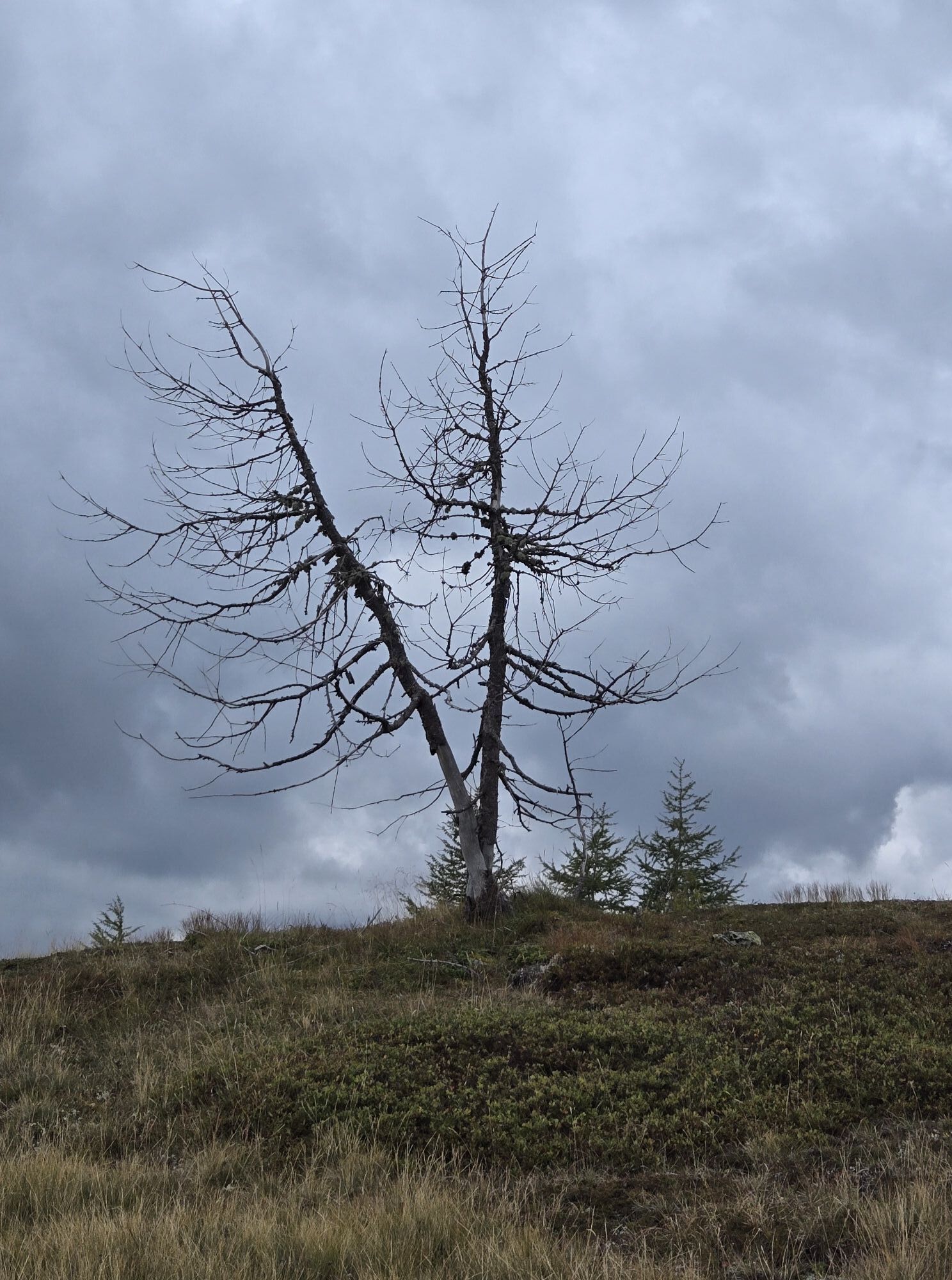
This ski tour begins in the easternmost hamlet of Obertilliach - in Flatsch. At the beginning, the trail leads left across a mountain meadow. The forest above Flatsch was almost completely destroyed by a hurricane in October 2018.
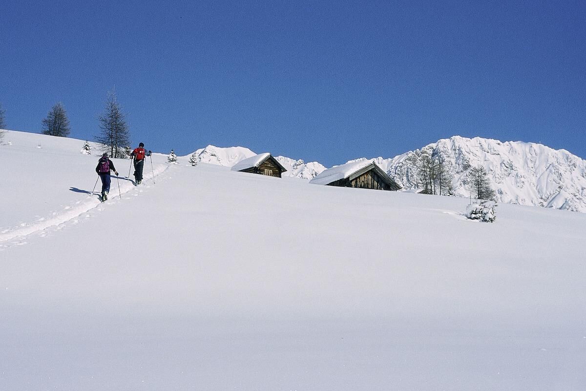
The trail now crosses the old summer ascent (no. 40) up to the right and at one point touches the forest path, which also leads in the direction of Steinrastl. Just below the tree line, the ascent track joins this forest path. We now follow the yellow signposts of hiking trail no. 40 almost always straight over a few terrain steps and in increasingly open terrain towards the north. We also cross the goods road a few times, which ends just below the Steinrastl. Only recommended if there is sufficient snow, as the tour is entirely in the sun.
Easy variant via the forest path to Schwarzmoos and then across the mountain meadows to the summit.
The trail now crosses the old summer ascent (no. 40) up to the right and at one point touches the forest path, which also leads in the direction of Steinrastl. Just below the tree line, the ascent track joins this forest path. We now follow the yellow signposts of hiking trail no. 40 almost always straight over a few terrain steps and in increasingly open terrain towards the north. We also cross the goods road a few times, which ends just below the Steinrastl. Only recommended if there is sufficient snow, as the tour is entirely in the sun.
Easy variant via the forest path to Schwarzmoos and then across the mountain meadows to the summit.
Trasa


Nie ma jeszcze recenzji
Kamery internetowe z trasy
Uzyskaj wgląd
Zawsze na żywo z ponad 9 500 kamer internetowych. bergfex Jako użytkownik Pro, możesz teraz zobaczyć odpowiednie kamery internetowe dla wielu wycieczek w aplikacji wycieczki od. Pozwala to na bezpośredni podgląd aktualnych warunków.
Popularne wycieczki w okolicy
-
4,7
Karlsbader Hütte über Rudl-Eller-Weg
ciężkiWędrówka 5,10 km -
4,5
Karnischer Höhenweg – Etappe 4: Hochweißsteinhaus – Wolayersee Hütte
ciężkidługodystansowy szlak pieszy 15,9 km -
4,8
Lienzer Dolomiten-Lasertörl
średniWędrówka 13,2 km -
4,5
Kartitsch-Obstansersee Hütte
średniWędrówka 13,1 km -
4,7
Obergail - Obergailer Alm - Obergailer Lake - Enderberg hut - Source for Health & Peace - Madonna circular hiking route - Obergail
średniWędrówka 11,4 km -
4,0
Karlsbader Hütte - Lienzer Dolomiten
Wędrówka 8 km -
4,7
Karlsbader Hütte
średniMountainbike 13,4 km -
4,3
Connyalm (2.070 m)
Wędrówka 6,36 km -
5,0
Porzehütte (1.942 m)
światłoWędrówka 9,01 km -
5,0
Tuffbad - Guggenberger Sattel - Samalm - Tuffbad
średniWędrówka 12,2 km
Wędrówki i tropienie

Ponad 550.000 propozycji wycieczek, szczegółowe mapy i intuicyjny planer tras sprawiają, że aplikacja jest niezbędna dla wszystkich entuzjastów przyrody.

Nie przegap ofert i inspiracji na następne wakacje
Zapisz się do newslettera
Błąd
Wystąpił błąd. Spróbuj ponownie.
Dziękujemy za rejestrację
Twój adres e-mail została dodana do listy mailingowej.
Wycieczki po całej Europie
Austria
Szwajcaria
Niemcy
Włochy
Słowenię
Francja
Holandia
Belgia
Polska
Liechtenstein
Czechy
Słowacja
Hiszpania
Chorwacja
Bośnia i Hercegowina
Luksemburg
Andorra
Portugalia
Islandia
Wielka Brytania
Irlandia
Grecja
Albania
Macedonia Północna
Malta
Norwegia
Czarnogóra
Mołdawia
Kosowo
Węgry
San Marino
Rumunia
Estonia
Łotwa
Białoruś
Cypr
Litwa
Serbia
Bułgaria
Monako
Dania
Szwecja
Finlandia





