Kalksteiner Jöchl & Hohe Geil
światło
Nawigacja
Nawigacja
Pobierz tę trasę na swój telefon komórkowy
Kalksteiner Jöchl & Hohe Geil
światło
Wycieczka narciarska
5,23
km
Zeskanuj kod QR i rozpocznij nawigację w aplikacji bergfex.


Wędrówki i tropienie





Kalksteiner Jöchl & Hohe Geil
światło
Odległość
5,23
km
Czas trwania
03:30
h
Ascent
816
hm
Poziom morza
1.660 -
2.451
m
Ścieżka do pobrania
Kalksteiner Jöchl & Hohe Geil
światło
Wycieczka narciarska
5,23
km
Zdjęcia naszych użytkowników
 © AnitaUtworzono dnia 05.03.2026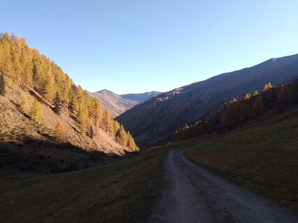
 © steidl.evelinUtworzono dnia 18.10.2025
 © steidl.evelinUtworzono dnia 18.10.2025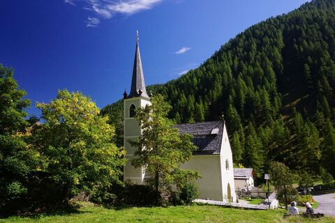
 © Walter KöllnerUtworzono dnia 20.09.2025
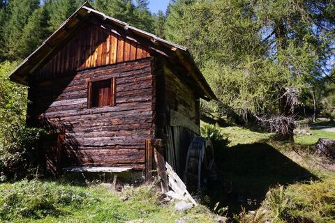 © Walter KöllnerUtworzono dnia 20.09.2025
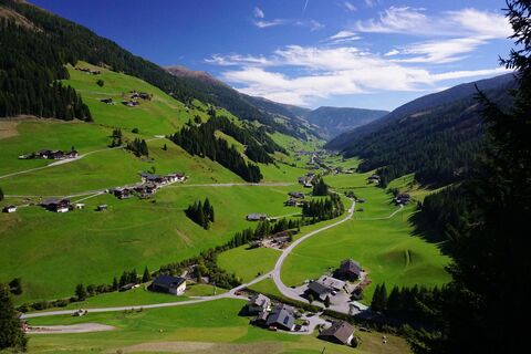 © Walter KöllnerUtworzono dnia 20.09.2025
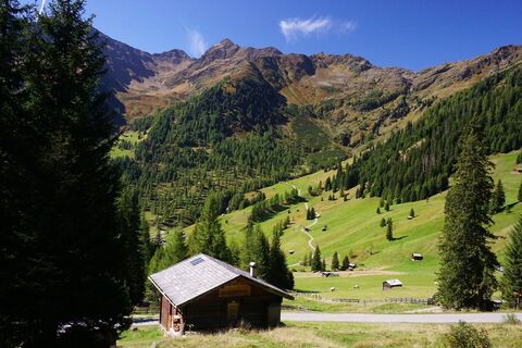 © Walter KöllnerUtworzono dnia 20.09.2025
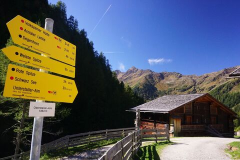 © Walter KöllnerUtworzono dnia 20.09.2025
 © Walter KöllnerUtworzono dnia 20.09.2025
 © Bernd KerschbaumerUtworzono dnia 09.09.2025
 © Bernd KerschbaumerUtworzono dnia 09.09.2025
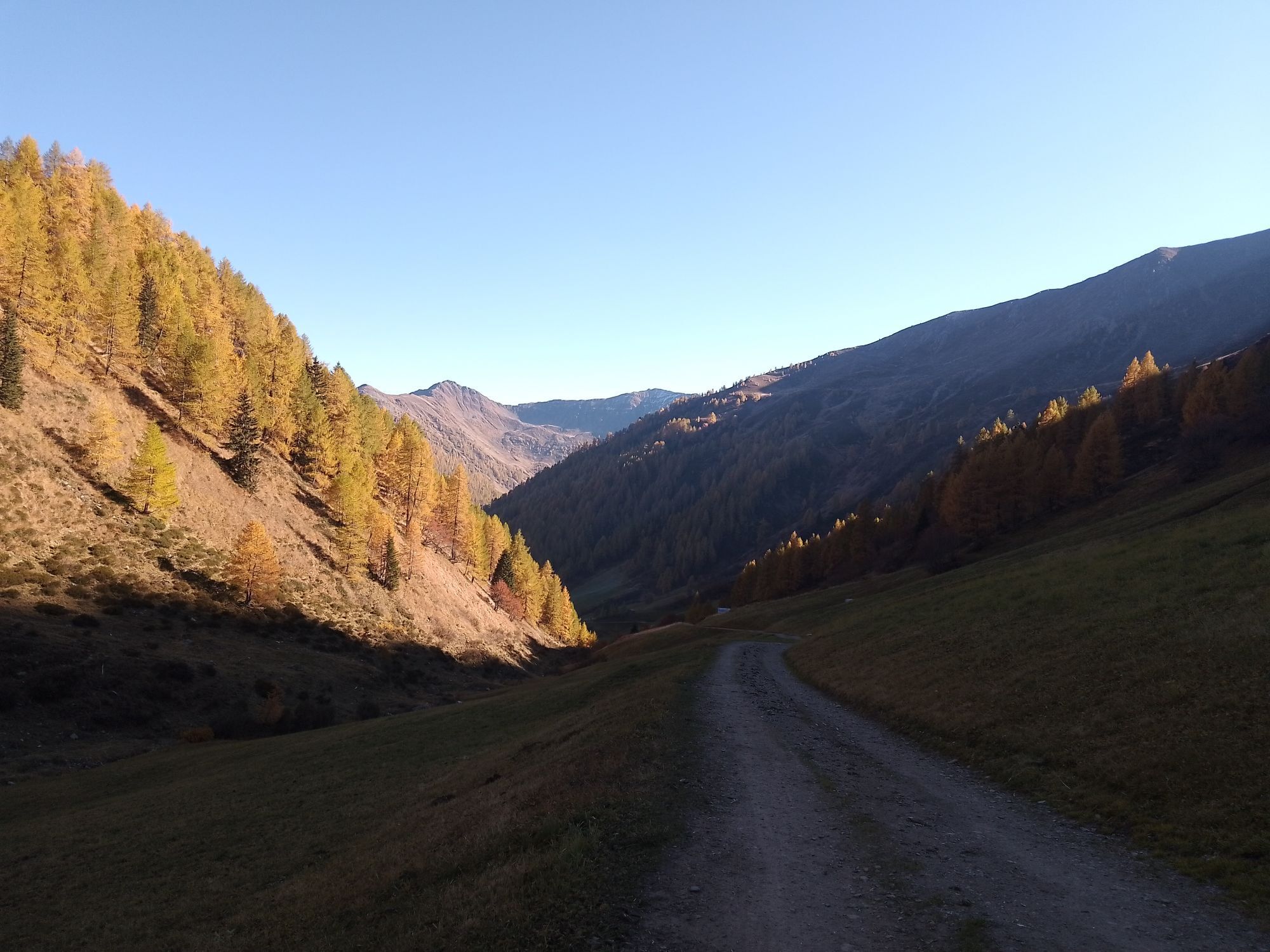
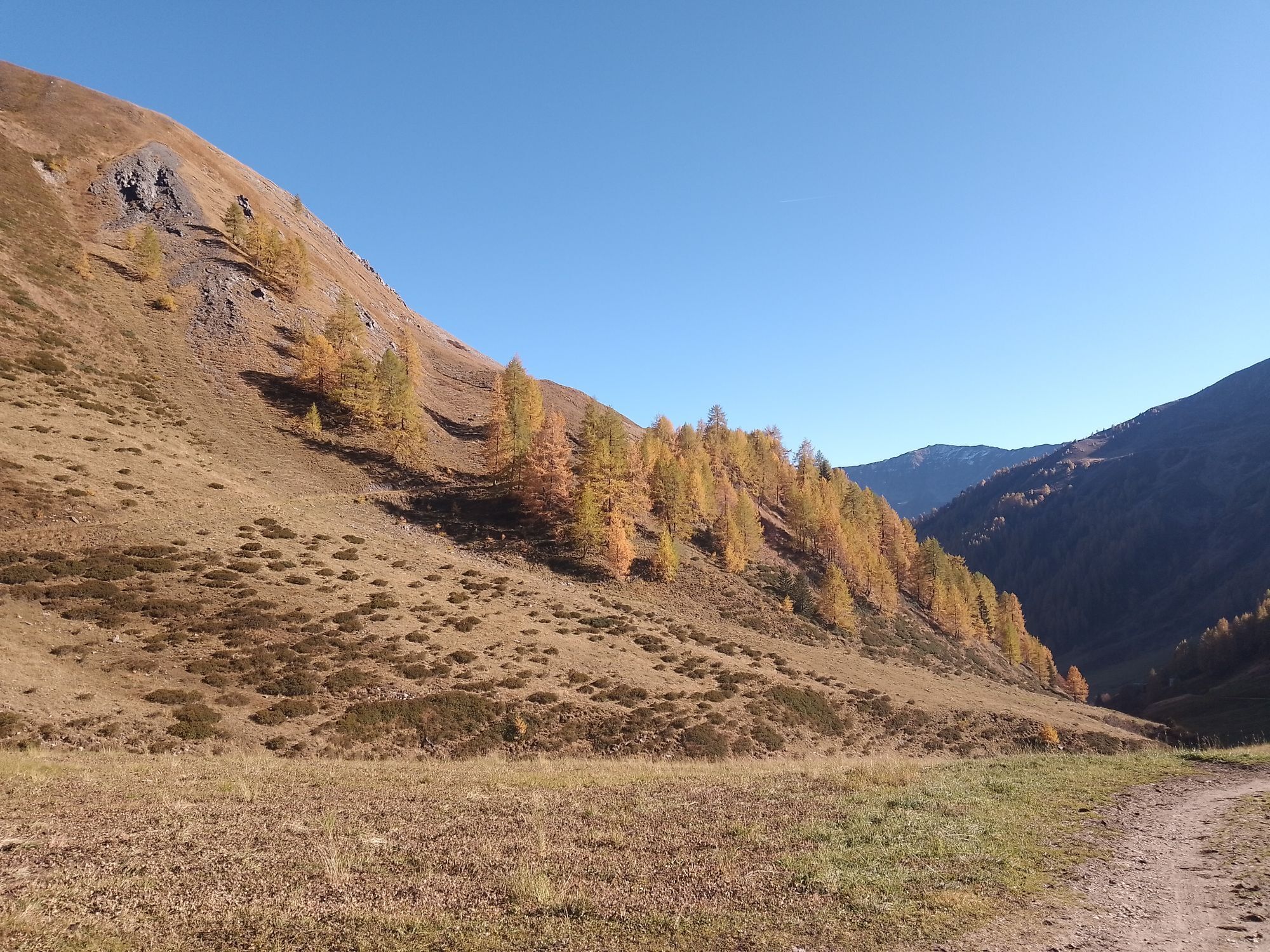
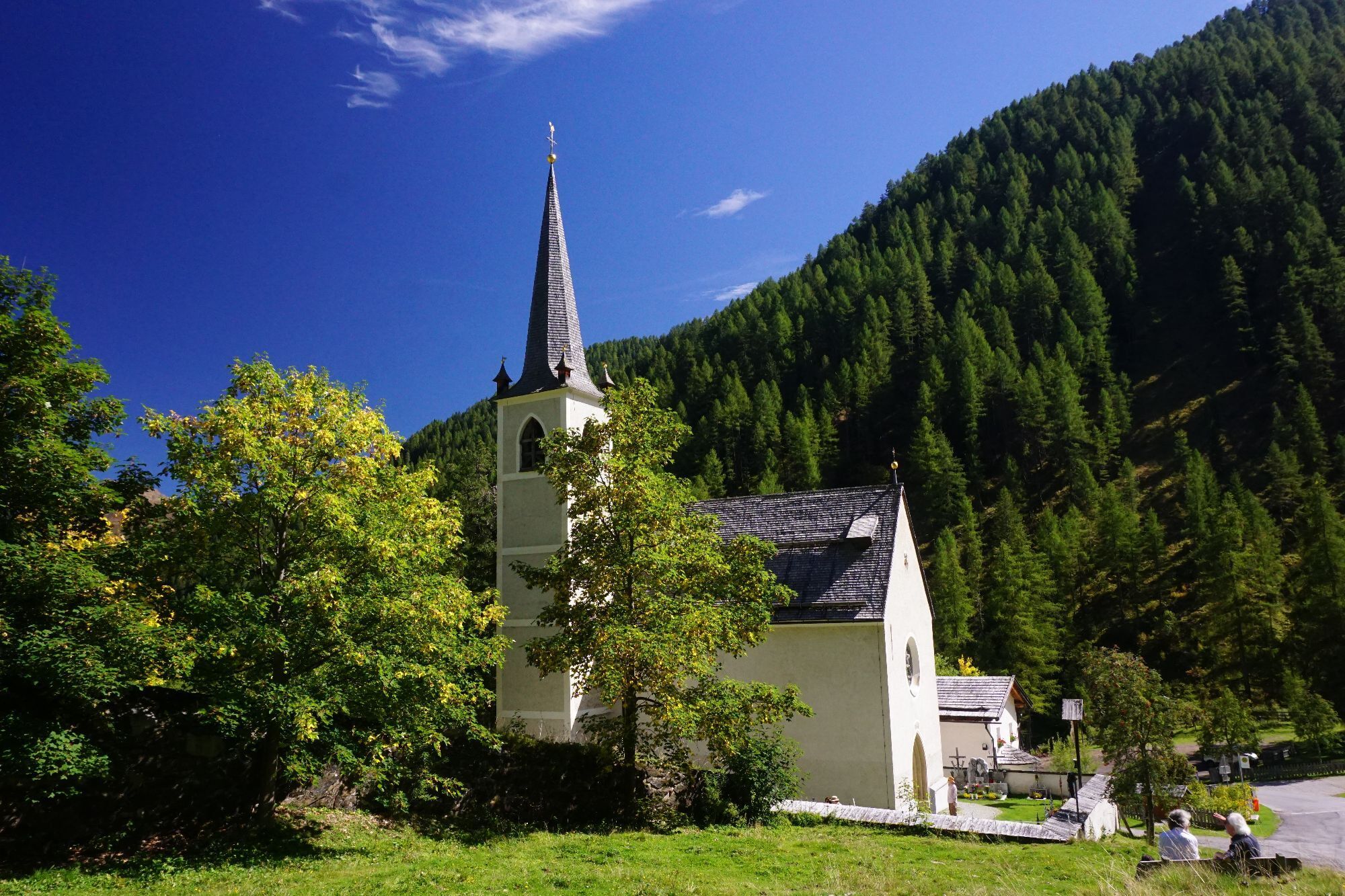
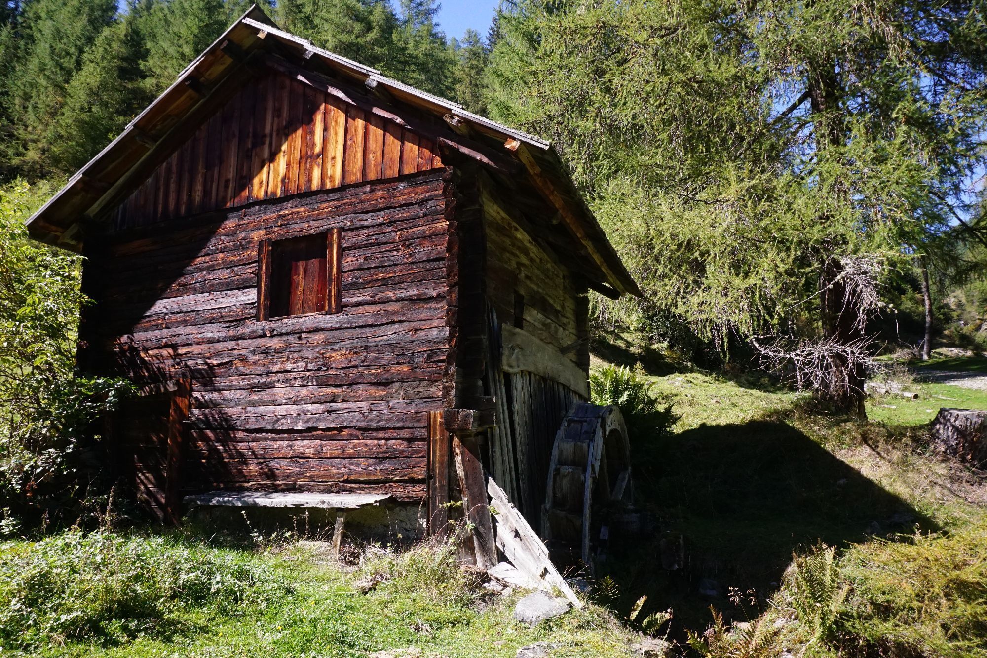
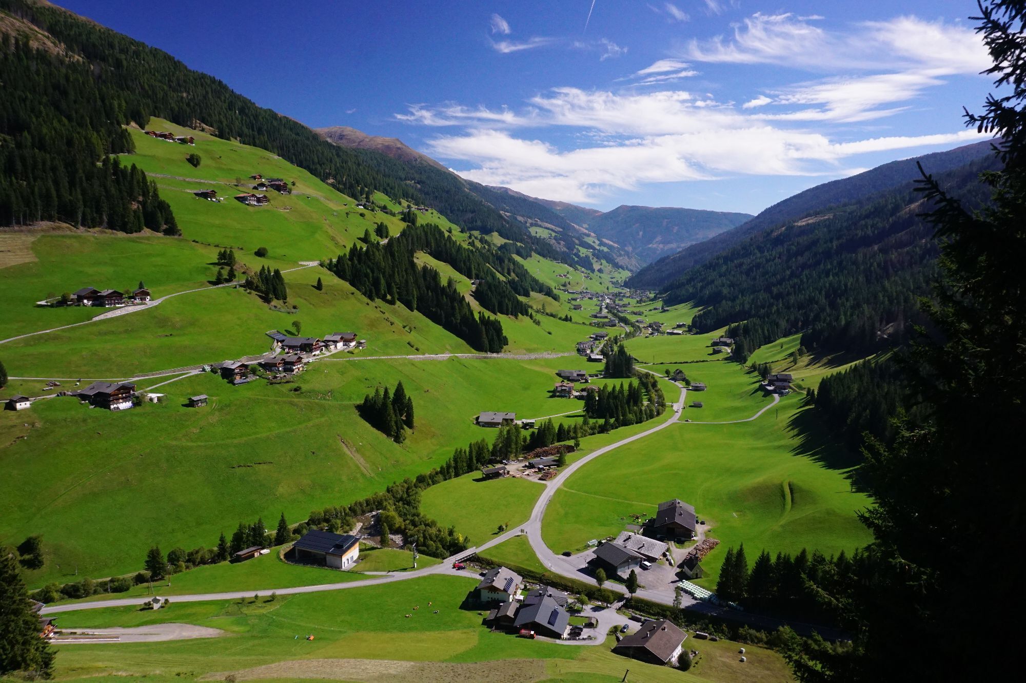

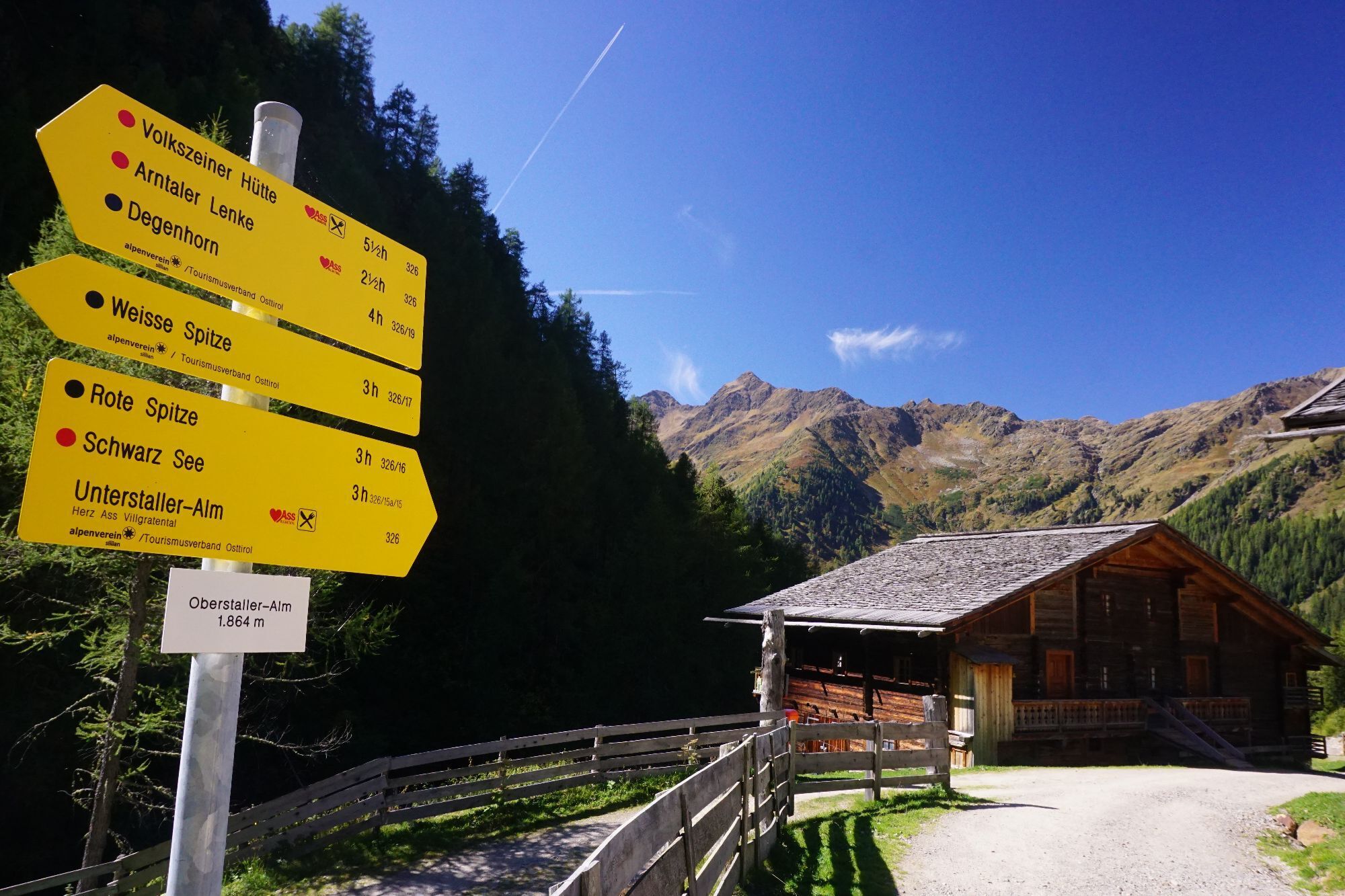
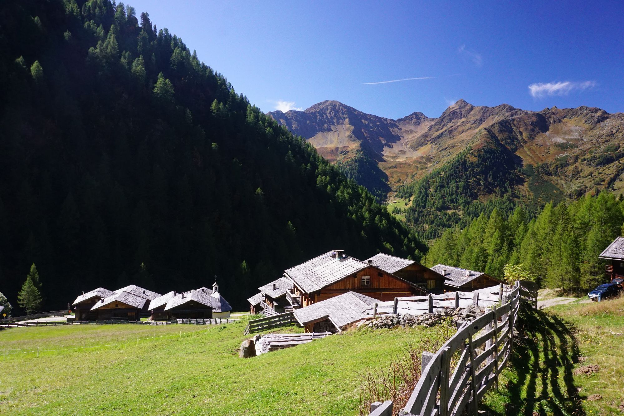
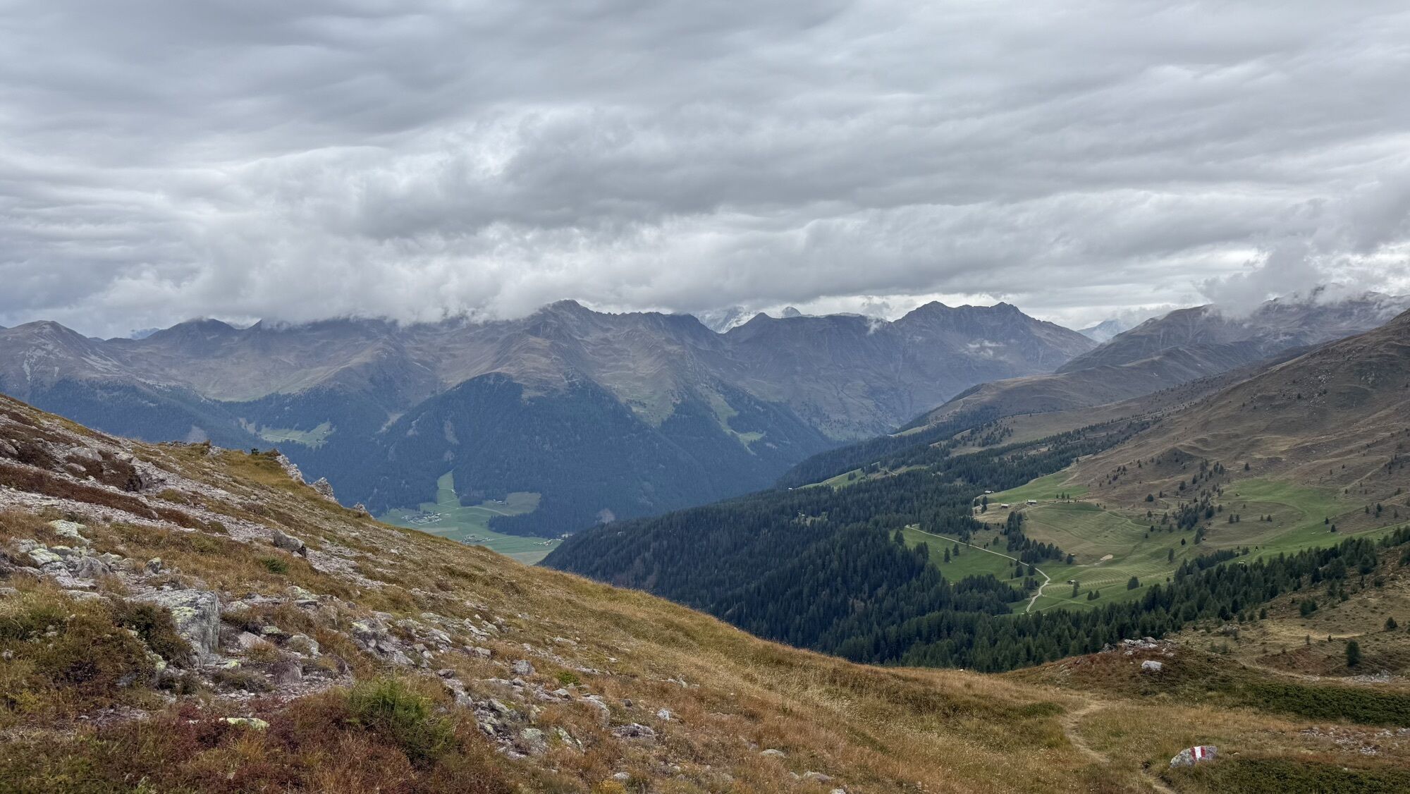
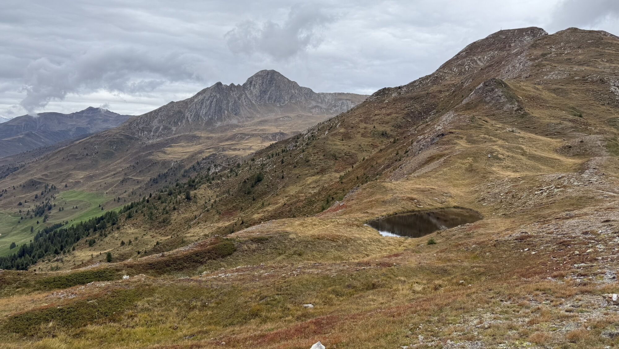
The starting point is the ski gate car park at the Badl-Alm in Kalkstein (1,640 m), approx. five kilometres after Innervillgraten. From the car park in Kalkstein, first take the forest path towards Alfenalm,...
Opis
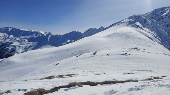
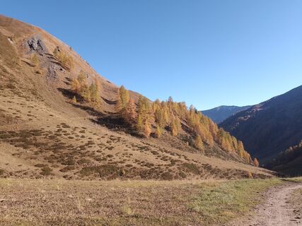
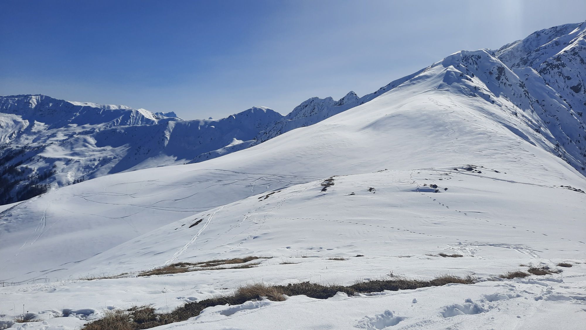
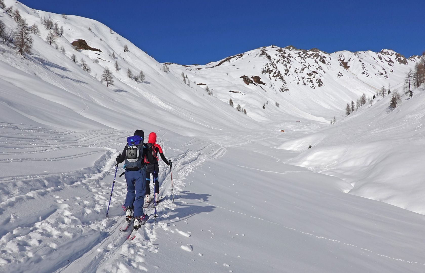
The starting point is the ski gate car park at the Badl-Alm in Kalkstein (1,640 m), approx. five kilometres after Innervillgraten. From the car park in Kalkstein, first take the forest path towards Alfenalm, turn right shortly before and follow the road north-west into the Roßtal valley to the end of the valley with a small hut (approx. 2050 m). From there, the ascent leads to the left in a westerly direction, initially over a somewhat steeper section, later over hollows and humps to the Kalksteiner Jöchl (2,350 m). From here, the ascent continues northwards over a broad ridge to the summit cross of the Hohe Geil (2,494 m)
Descent: As ascent.
Characteristics: The Kalksteinjöchl is a crossing into the neighbouring Gsiesertal on the South Tyrolean side. Until the 1950s it was considered a smugglers' path. This tour is an easy introductory tour, also suitable for beginners. Great views both from the Kalksteinjöchl and from the Hohe Geil to the Sexten Dolomites and the neighbouring Gsiesertal.
Descent: As ascent.
Characteristics: The Kalksteinjöchl is a crossing into the neighbouring Gsiesertal on the South Tyrolean side. Until the 1950s it was considered a smugglers' path. This tour is an easy introductory tour, also suitable for beginners. Great views both from the Kalksteinjöchl and from the Hohe Geil to the Sexten Dolomites and the neighbouring Gsiesertal.
Trasa
Maria Schnee
(1.638 m)
Miejsce kultu
0,0 km
Kalksteiner Jöchl
(2.326 m)
Siodełko górskie
4,3 km
Gail
(2.494 m)
Szczyt
5,1 km
Trasa
Kalksteiner Jöchl & Hohe Geil
światło
Wycieczka narciarska
5,23
km
Maria Schnee
(1.638 m)
Miejsce kultu
0,0 km
Kalkstein
(1.630 m)
Rozliczenie
0,0 km
Alfenalm
(1.703 m)
Rozliczenie
0,3 km
Kalksteiner Jöchl
(2.326 m)
Siodełko górskie
4,3 km
Gail
(2.494 m)
Szczyt
5,1 km

Ostatnio śledzony
dzisiaj

Informacje o przyjeździe
Przybycie
Mit dem Auto bis zum Parkplatz Kalkstein
Transport publiczny
Mit dem Bus bis zur Haltestelle Innervillgraten Kalkstein
Parking
Parkplatz Kalkstein
Wyceny

5
(3)
4
(0)
3
(0)
2
(0)
1
(0)
Uzyskaj wgląd Zawsze na żywo z ponad 9 500 kamer internetowych. bergfex Jako użytkownik Pro, możesz teraz zobaczyć odpowiednie kamery internetowe dla wielu wycieczek w aplikacji wycieczki od. Pozwala to na bezpośredni podgląd aktualnych warunków. 
Popularne wycieczki w okolicy
- 4,6
Mountain hike to Mountain „Lutterkopf and Durakopf (2145/2275m)“
średniWycieczki górskie 11,8 km - 4,8
Antholzer See - Steinzger Alm
średniWędrówka 7,48 km - 4,8
Seerunde
światłoWędrówka 2,66 km - 5,0
Rote Wand
średniWycieczka wysokogórska 12,0 km - 4,9
Rund um den Antholzer See
światłoWędrówka 4,27 km - 4,8
Sillianer Hütte 2.447 m
średniWędrówka 16,8 km - 4,7
Von Kalkstein auf das Toblacher Pfannhorn (2.663 m) und Marchkinkele
średniWędrówka 14,2 km - 3,9
Helm und Sillianer Hütte
światłoWędrówka 8,17 km - 4,2
Seespitze
średniWędrówka 13,7 km - 5,0
Toblacher Pfannhorn
światłoWycieczka narciarska 11,0 km
Wędrówki i tropienie

Ponad 550.000 propozycji wycieczek, szczegółowe mapy i intuicyjny planer tras sprawiają, że aplikacja jest niezbędna dla wszystkich entuzjastów przyrody.

Nie przegap ofert i inspiracji na następne wakacje
Zapisz się do newslettera
Błąd
Wystąpił błąd. Spróbuj ponownie.Dziękujemy za rejestrację
Twój adres e-mail została dodana do listy mailingowej.
Wycieczki po całej Europie
Austria Szwajcaria Niemcy Włochy Słowenię Francja Holandia Belgia Polska Liechtenstein Czechy Słowacja Hiszpania Chorwacja Bośnia i Hercegowina Luksemburg Andorra Portugalia Islandia Wielka Brytania Irlandia Grecja Albania Macedonia Północna Malta Norwegia Czarnogóra Mołdawia Kosowo Węgry San Marino Rumunia Estonia Łotwa Białoruś Cypr Litwa Serbia Bułgaria Monako Dania Szwecja Finlandia





