


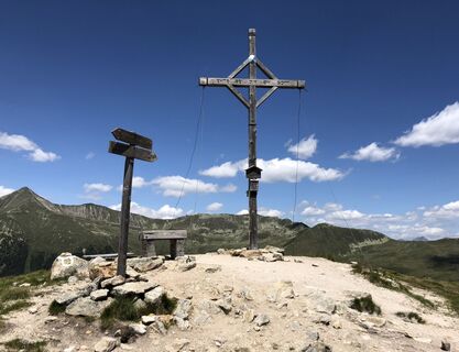
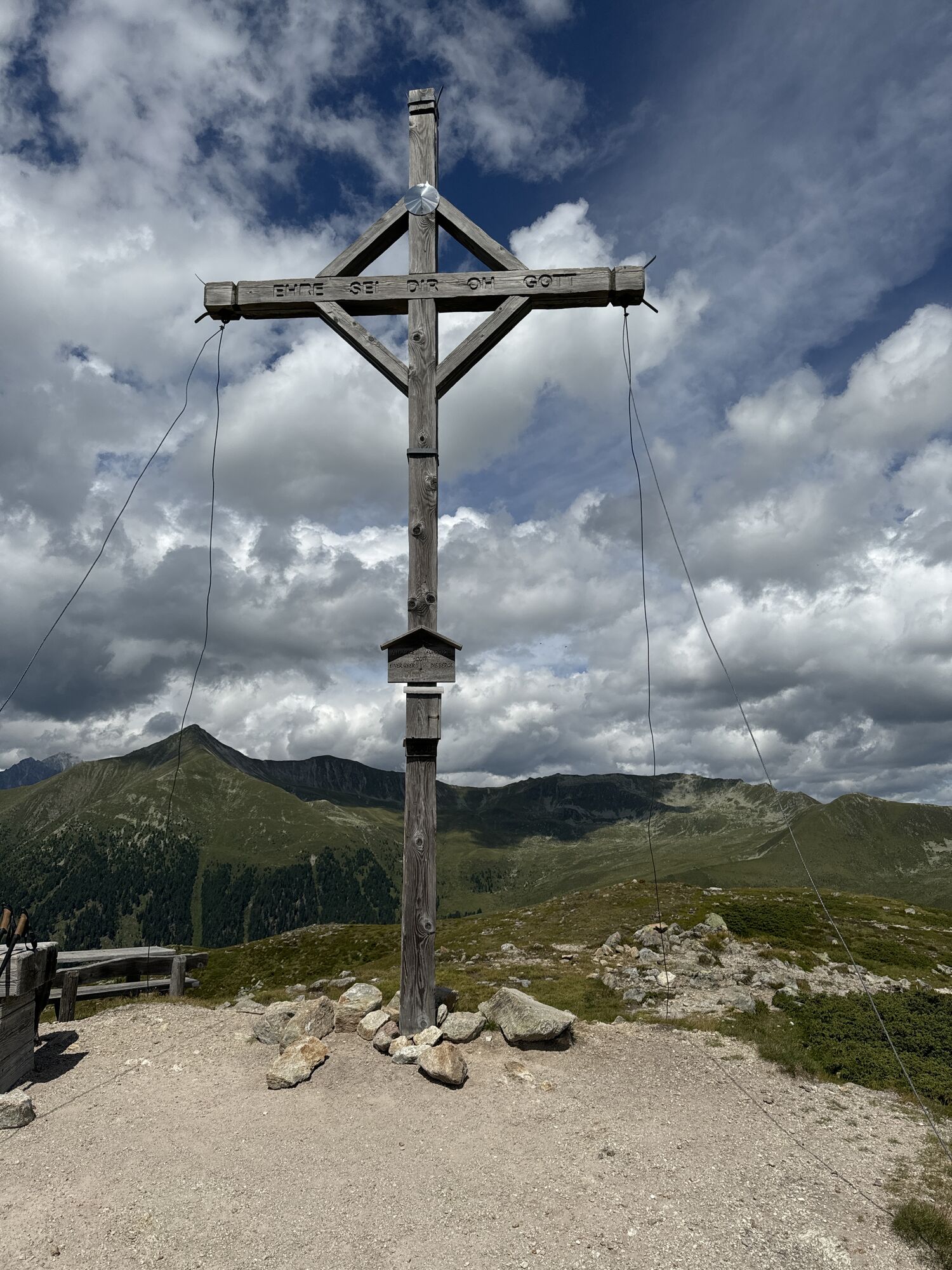
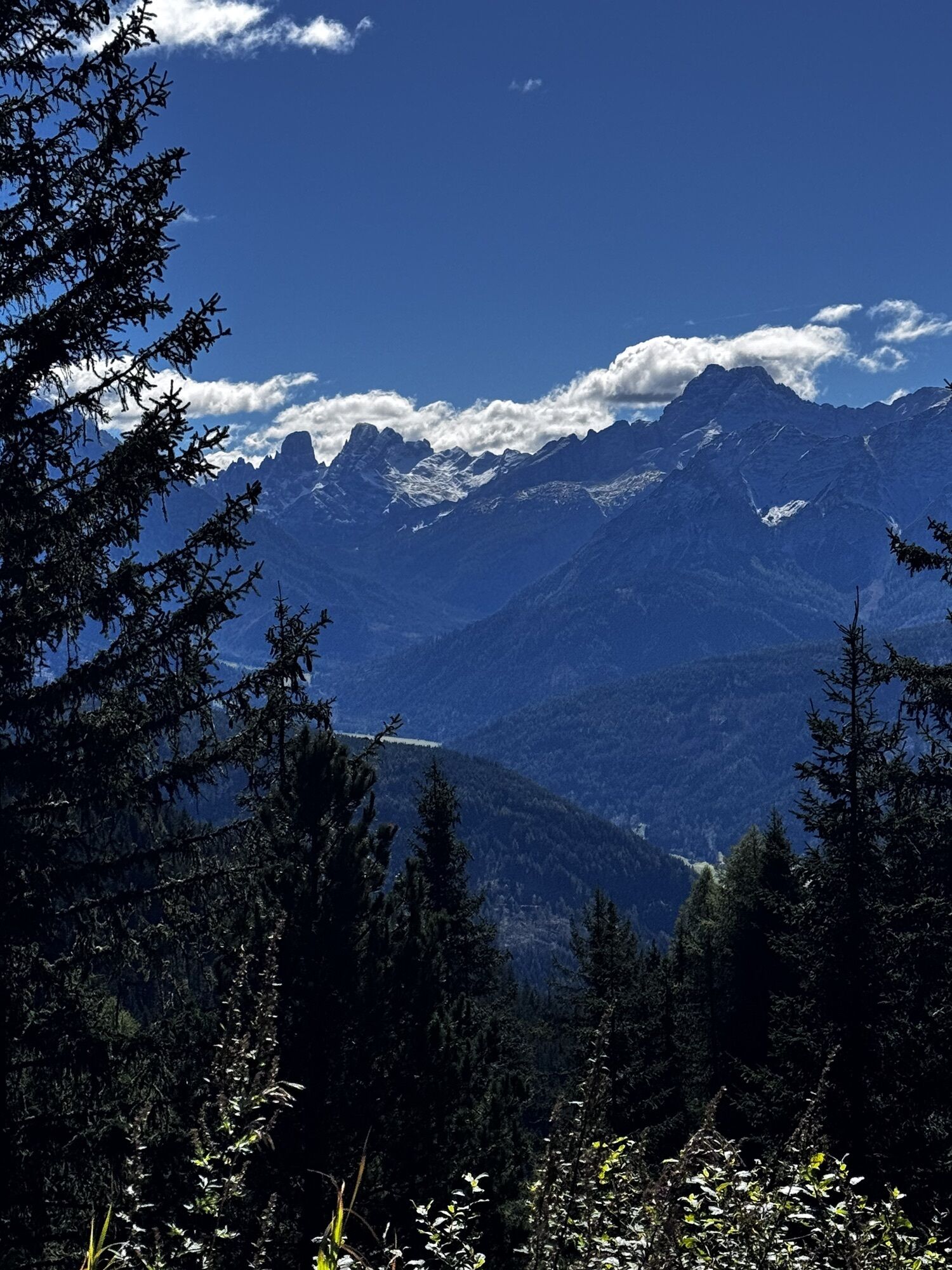
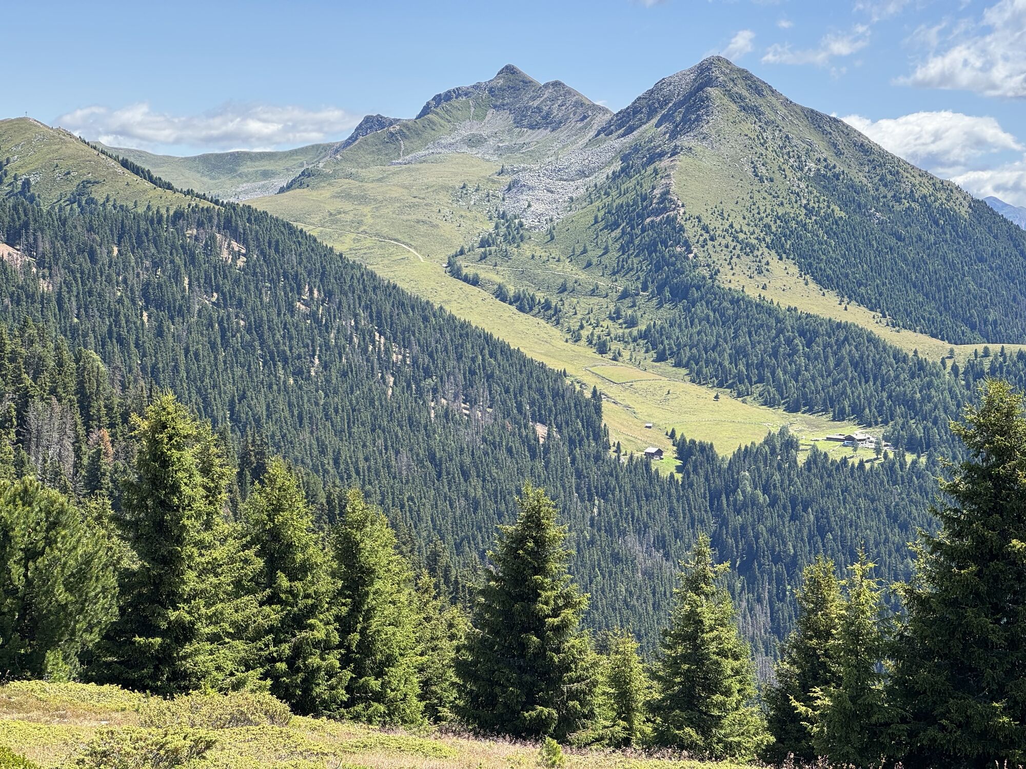
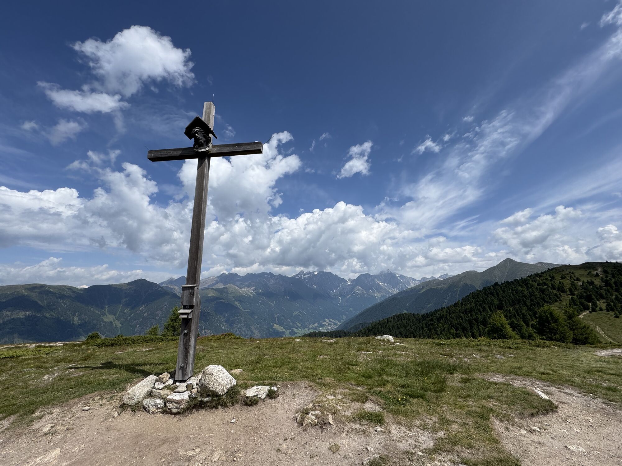
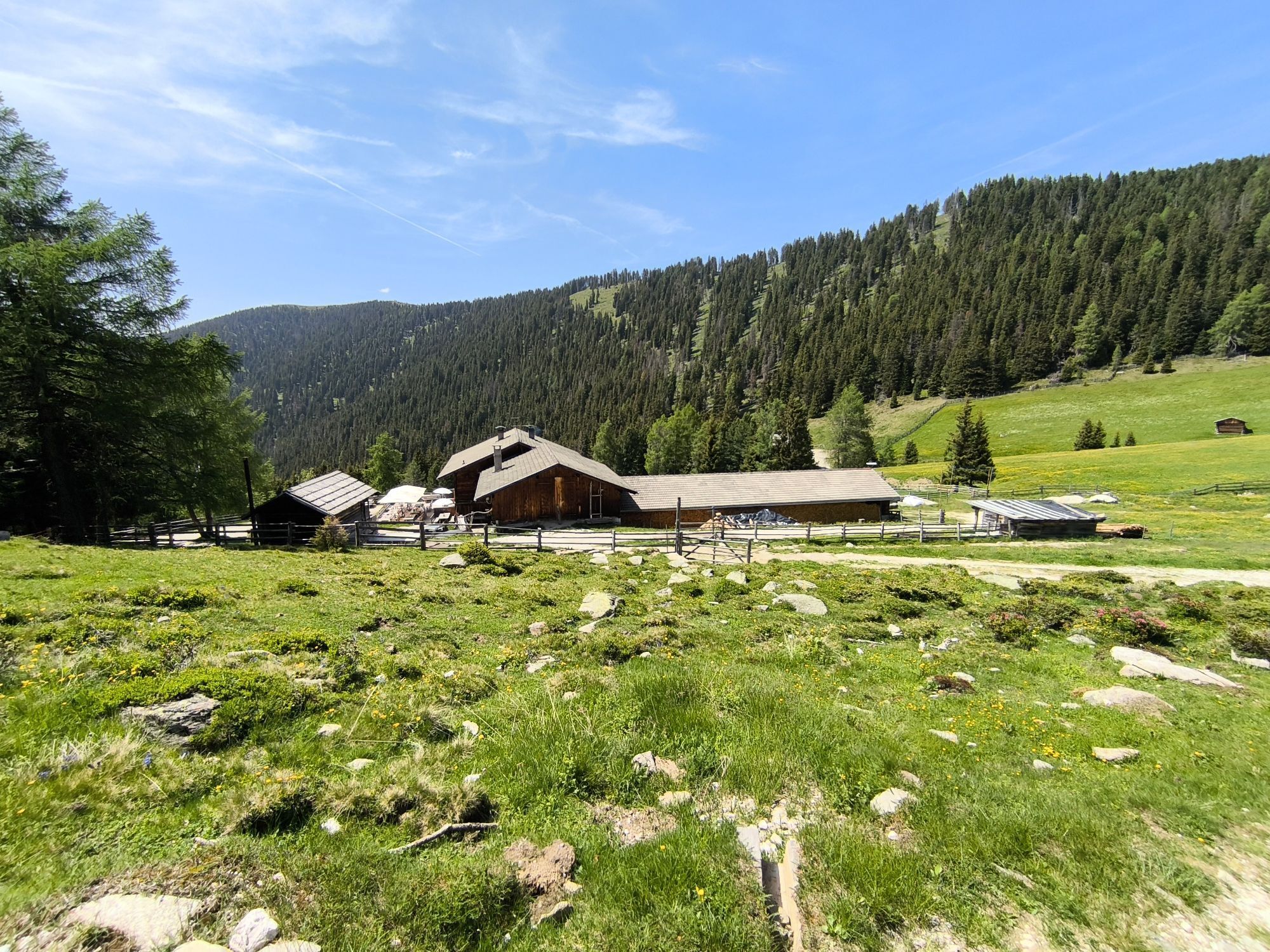
Mountain hike to Mountain „Lutterkopf and Durakopf (2145/2275m)“
Zdjęcia naszych użytkowników
-
 © kawegaUtworzono dnia 09.08.2024
 -
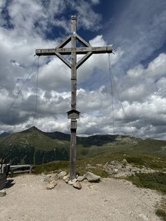
 © Andrea InserraUtworzono dnia 25.01.2026
 -
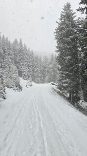
 © Andrea InserraUtworzono dnia 25.01.2026
 -

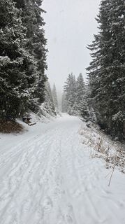
 © David KrcekUtworzono dnia 07.10.2025
 -
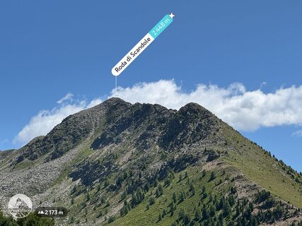
 © “Jerry” BrunettiUtworzono dnia 17.07.2025
 -
 © “Jerry” BrunettiUtworzono dnia 17.07.2025
 -
 © “Jerry” BrunettiUtworzono dnia 17.07.2025
 -
 © “Jerry” BrunettiUtworzono dnia 23.06.2025
 -
 © “Jerry” BrunettiUtworzono dnia 23.06.2025
 -
 © Silvio ErnstUtworzono dnia 13.06.2025
 -
 © “Jerry” BrunettiUtworzono dnia 26.06.2023
 -
 © Michael KrausUtworzono dnia 29.05.2024
 -
 © Michael KrausUtworzono dnia 29.05.2024


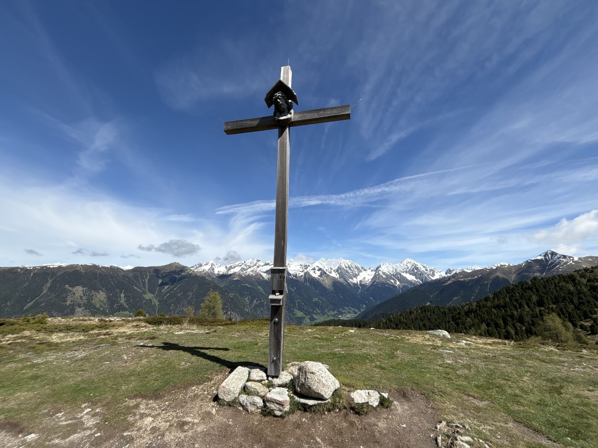
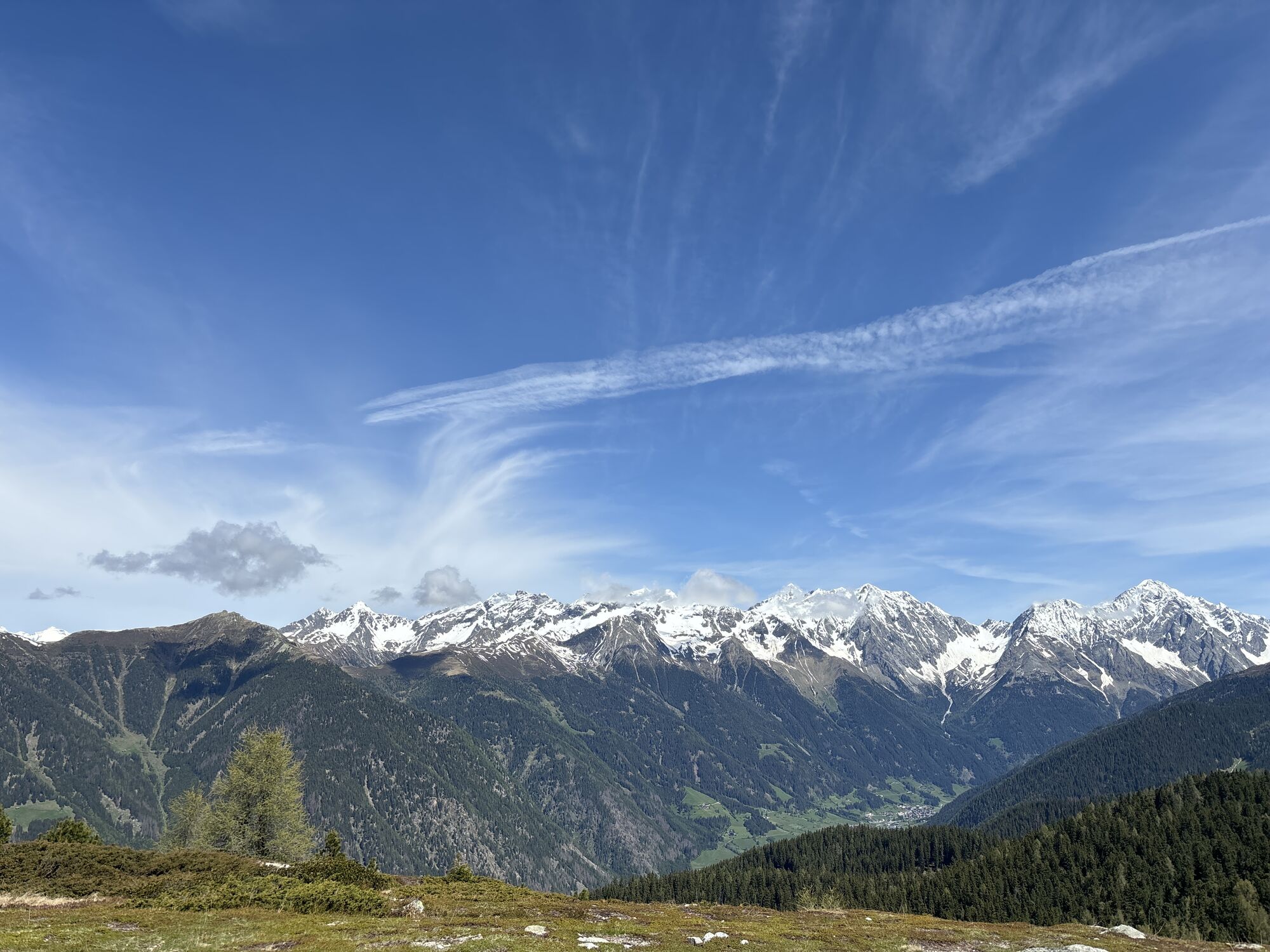
Reach the mountain restaurant Mudler (1622m, refreshment point) by car and leave your vehicle in the nearby parking area. Now briefly continue on the driveway to the fork where you turn left and follow...
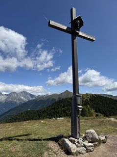
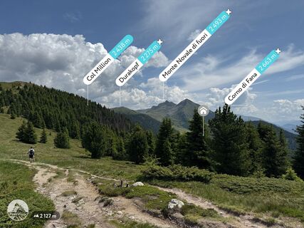
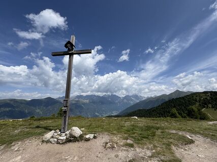
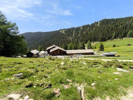
Reach the mountain restaurant Mudler (1622m, refreshment point) by car and leave your vehicle in the nearby parking area. Now briefly continue on the driveway to the fork where you turn left and follow the path numbered 31 partly on a wide forest road and partly by shortcutting on footpaths through the forest upwards. Before reaching the meadows, finally leave the forest road and follow the path no. 31 in eastward direction through the forest in a steep climb upwards to the treeline. Then, briefly continue over open terrain and reach the highest point at 2145 m above sea level. The tour continues northwards across open alpine terrain. Always along the ridge and after a considerable hike reach a fence with an opening, taking you directly down to the Taistner Vorderalm (2012m, refreshment point). At this point, however, continue to your second destination, namely the Durakopf (2275m). From its summit, go down eastwards to the Klenkboden at 2186 m and then southwards across a vast mountain pasture to the Taistner Vorderalm (2012m, refreshment point). From here, return to the starting point.


Aktywności na trasie
-
Rasen - Antholz, Trentino-Südtirol/Italien
15.04.2026 – Wędrówka -

Welsberg - Taisten, Trentino-Südtirol/Italien
23.02.2026 – Wędrówka -

Welsberg - Taisten, Trentino-Südtirol/Italien
22.02.2026 – Wędrówka -
Monguelfo-Tesido Gehen
14.02.2026 – Przechadzka -

Welsberg - Taisten, Trentino-Südtirol/Italien
31.01.2026 – Rakieta do chodzenia po śniegu -
Rasen - Antholz, Trentino-Südtirol/Italien
20.01.2026 – Wędrówka -

Rasun - Anterselva, Trentino-Alto Adige/Italia
18.01.2026 – Wędrówka -

Welsberg - Taisten, Trentino-Südtirol/Italien
28.10.2025 – Wędrówka -
Welsberg - Taisten, Trentino-Südtirol/Italien
07.10.2025 – Wędrówka -
Welsberg - Taisten, Trentino-Südtirol/Italien
04.09.2025 – Wędrówka -
Lutterkopf, Alto Adige/Italia
22.08.2017 – Wędrówka
Popularne wycieczki w okolicy
-
4,8
Antholzer See - Steinzger Alm
średniWędrówka 7,48 km -
4,6
Rund um den Schwarzberg in die Bergwelt vom Pragser Wildsee
średniWędrówka 9,59 km -
4,8
Seerunde
światłoWędrówka 2,66 km -
5,0
Rote Wand
średniWycieczka wysokogórska 12,0 km -
4,9
Rund um den Antholzer See
światłoWędrówka 4,27 km -
4,7
Rund um den Seekofel
ciężkiWędrówka 16,6 km -
4,9
Dolomiten - Seekofel 2.810m - Tiefblick zum See
średniWycieczki górskie 23,5 km -
4,4
Rundtour Gönneralm und Erdpyramiden
średniWycieczki górskie 8,08 km -
4,5
Emmas Bistro - Marienkapelle - Grünwaldalm - Malga Foresta - Prags - Braies
Wędrówka 6,16 km -
4,4
Von der Plätzwiese über die Rossalm zum Pragser Wildsee
średniWędrówka 14,8 km

Wędrówki i tropienie


Nie przegap ofert i inspiracji na następne wakacje
Twój adres e-mail została dodana do listy mailingowej.