


Hohe Wasserfalle 3003m - Umhausen-Niederthai
Zdjęcia naszych użytkowników

 © Adriano PlacenzottoUtworzono dnia 21.01.2026
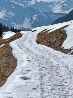
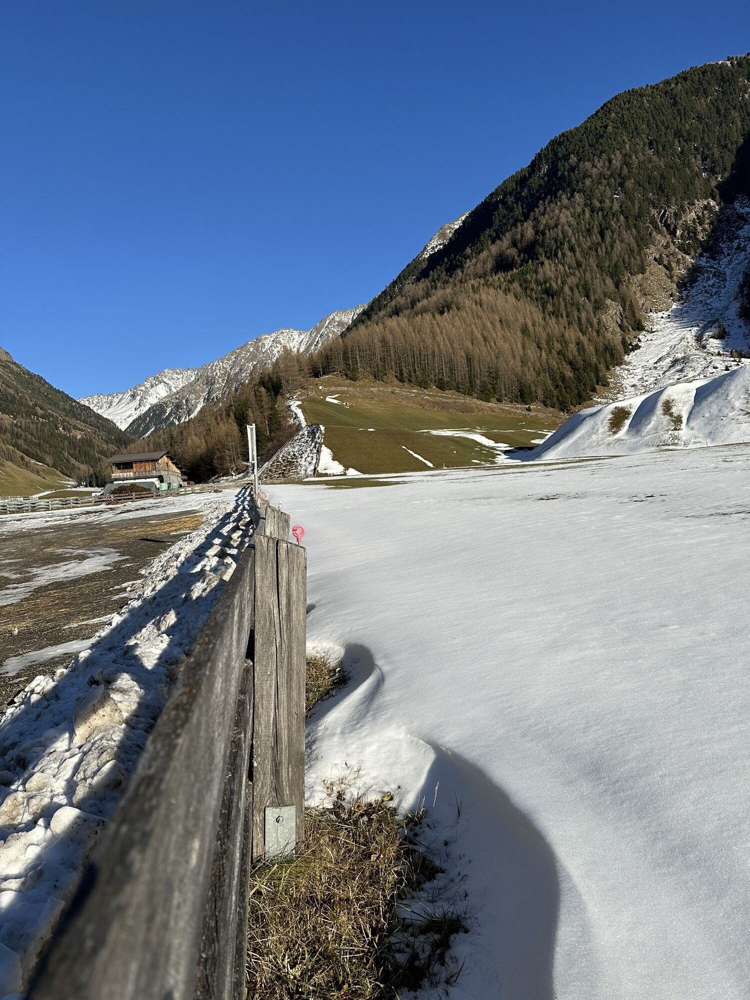
 © GabrielasttzUtworzono dnia 24.03.2026
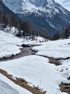 © GabrielasttzUtworzono dnia 24.03.2026
 © GabrielasttzUtworzono dnia 24.03.2026
 © GabrielasttzUtworzono dnia 24.03.2026
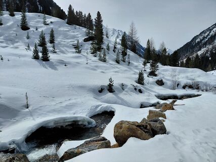
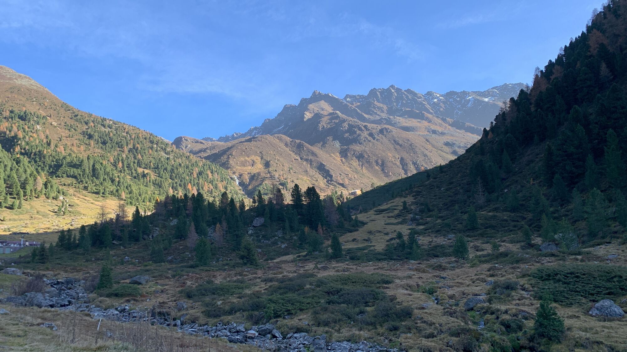
 © Sabine SteuxnerUtworzono dnia 24.03.2026
 © GabrielasttzUtworzono dnia 24.03.2026
 © GabrielasttzUtworzono dnia 24.03.2026
 © GabrielasttzUtworzono dnia 24.03.2026
 © GabrielasttzUtworzono dnia 24.03.2026
 © GabrielasttzUtworzono dnia 24.03.2026
 © GabrielasttzUtworzono dnia 24.03.2026
 © GabrielasttzUtworzono dnia 24.03.2026
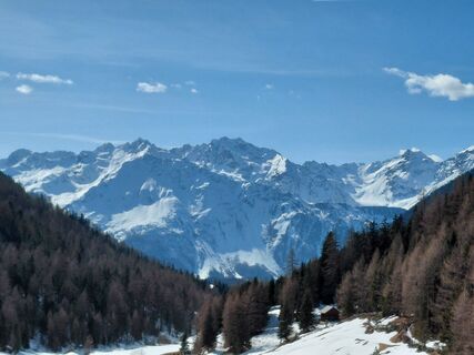 © Sabine SteuxnerUtworzono dnia 10.03.2026
 © Sabine SteuxnerUtworzono dnia 10.03.2026
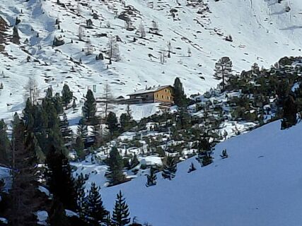 © Sabine SteuxnerUtworzono dnia 10.03.2026
 © Sabine SteuxnerUtworzono dnia 10.03.2026
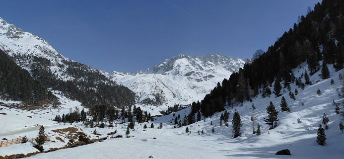
 © Jean-François GoujonUtworzono dnia 06.03.2026
 © Jean-François GoujonUtworzono dnia 06.03.2026
 © Sabine SteuxnerUtworzono dnia 04.02.2026
 © Sabine SteuxnerUtworzono dnia 04.02.2026
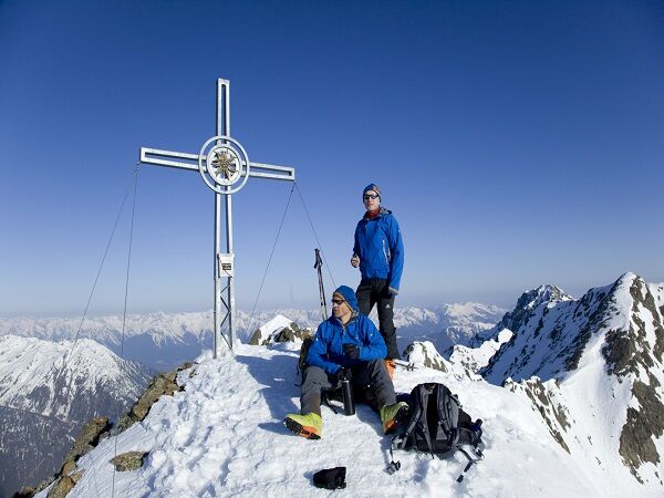
 © Christian FreythalerUtworzono dnia 11.10.2025
 © Christian FreythalerUtworzono dnia 11.10.2025
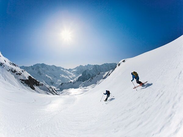
 © Werner FögerUtworzono dnia 31.08.2025
 © Werner FögerUtworzono dnia 31.08.2025
 © Steve GilliamsUtworzono dnia 04.08.2025
 © Steve GilliamsUtworzono dnia 04.08.2025
 © Werner FögerUtworzono dnia 19.05.2025
 © Martin HudelistUtworzono dnia 25.11.2024
 © Werner FögerUtworzono dnia 27.10.2024
 © eva_mountaininloveUtworzono dnia 13.06.2021
 © eva_mountaininloveUtworzono dnia 13.06.2021
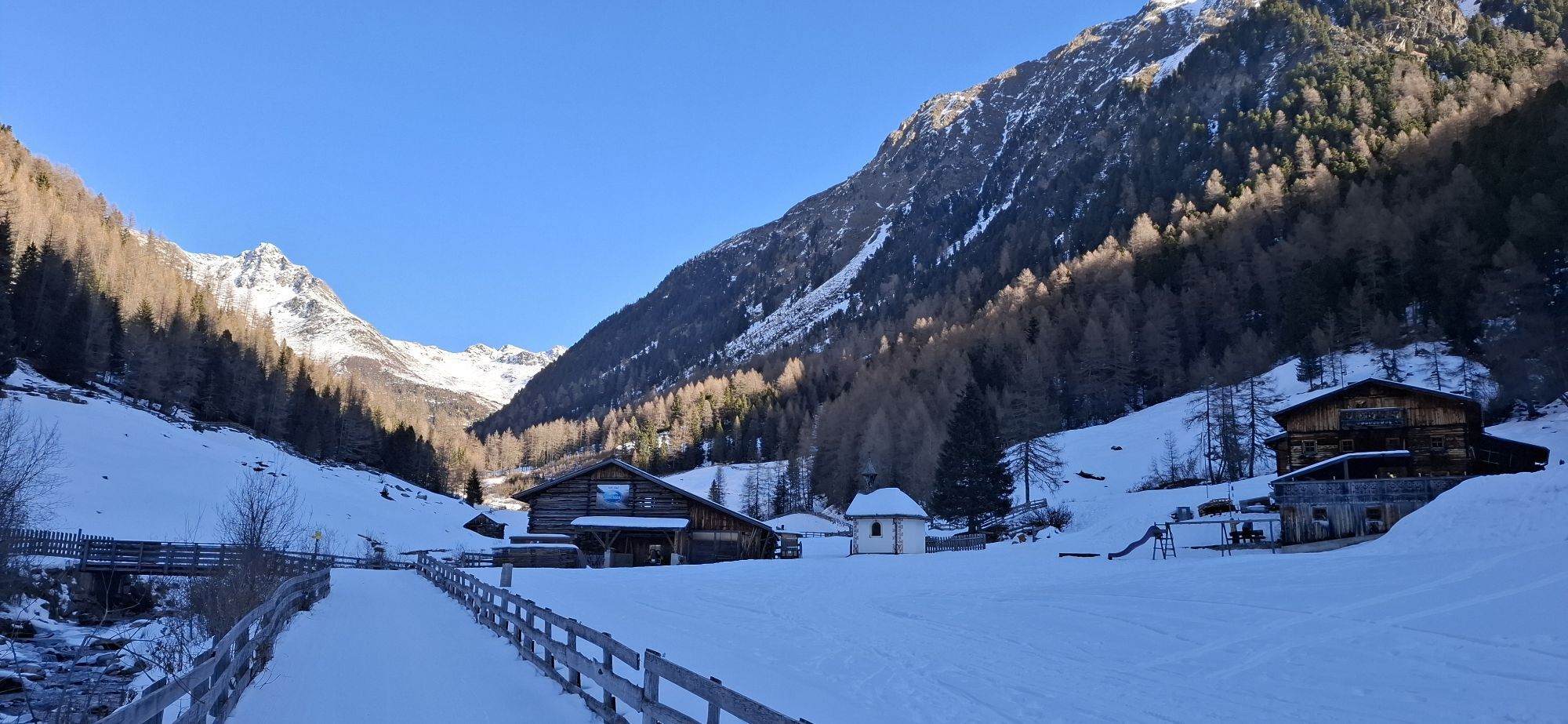

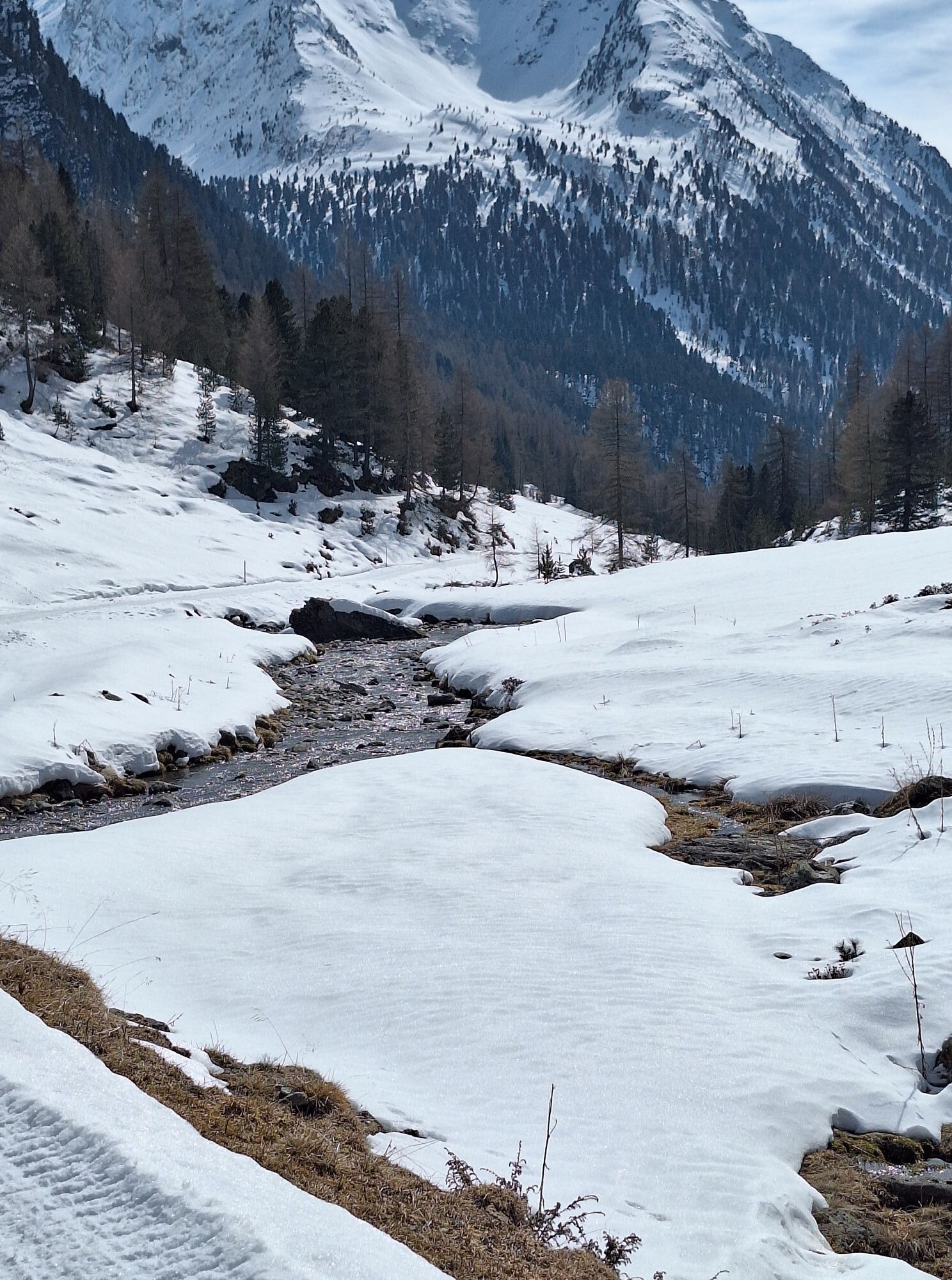
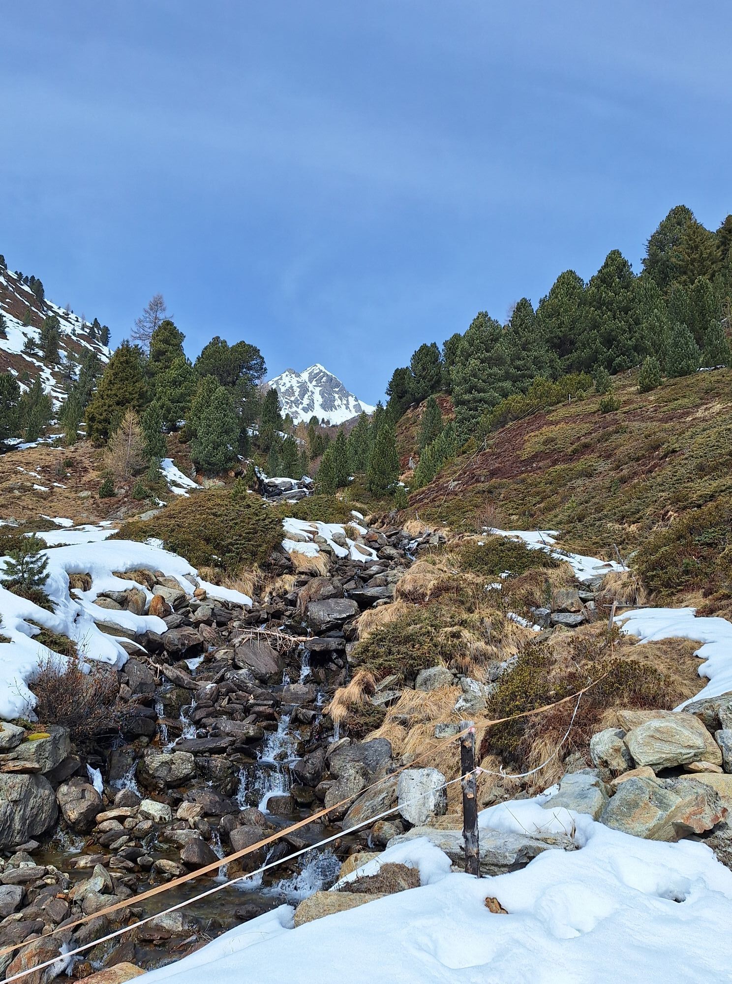
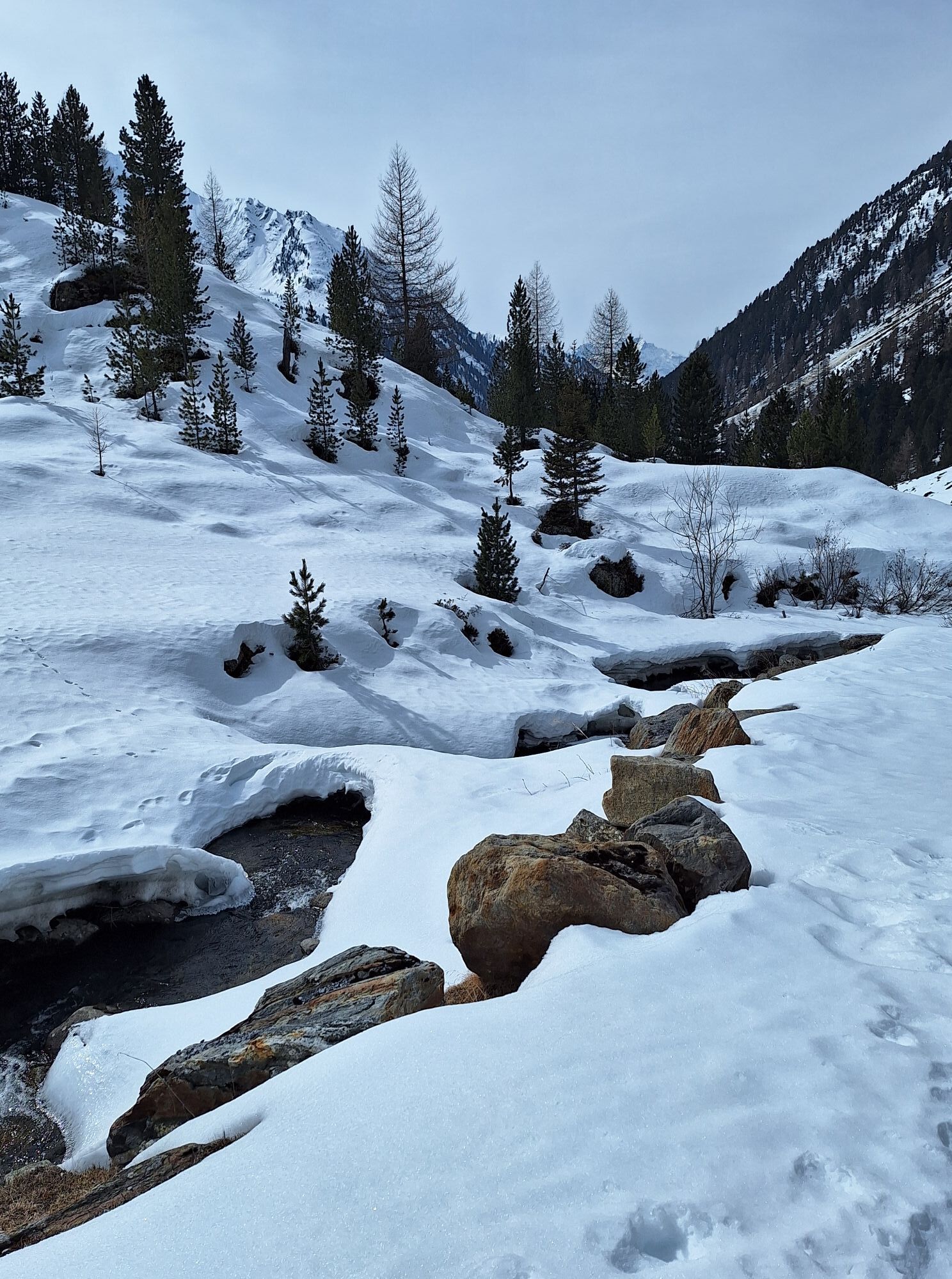


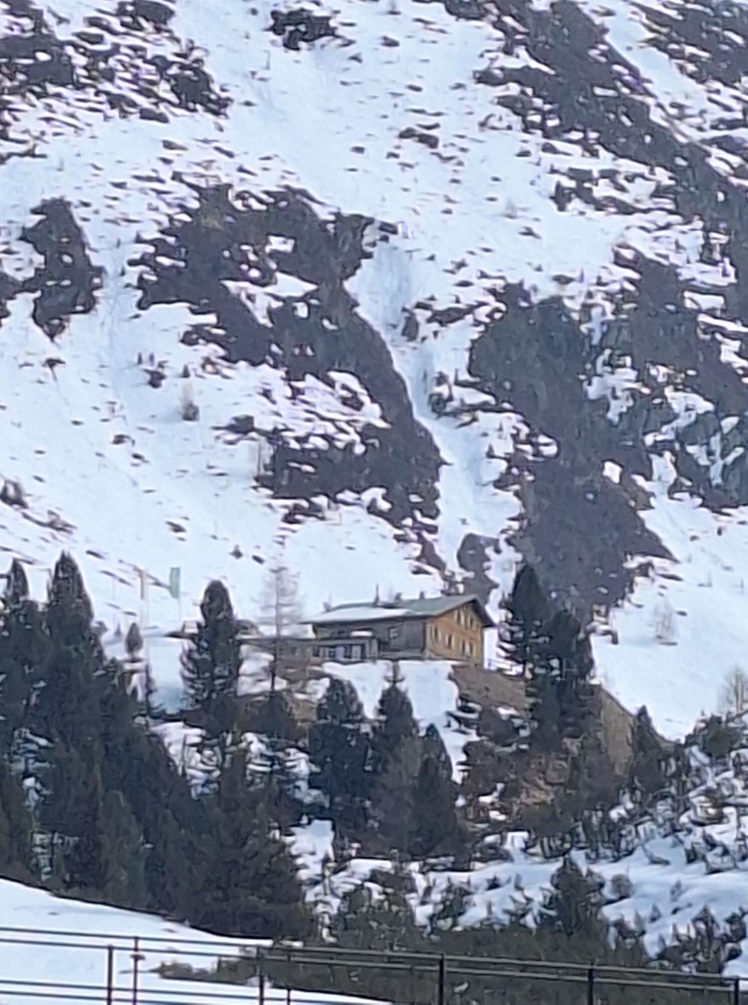
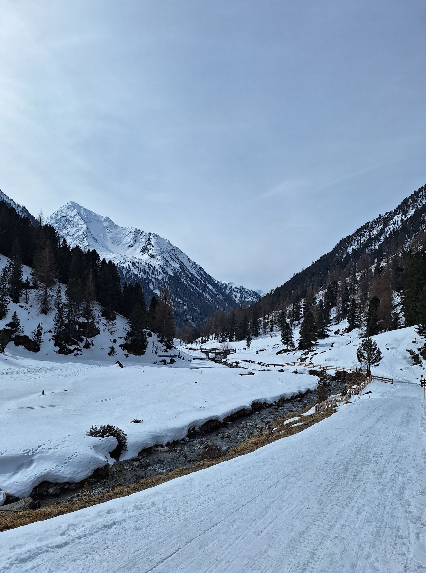
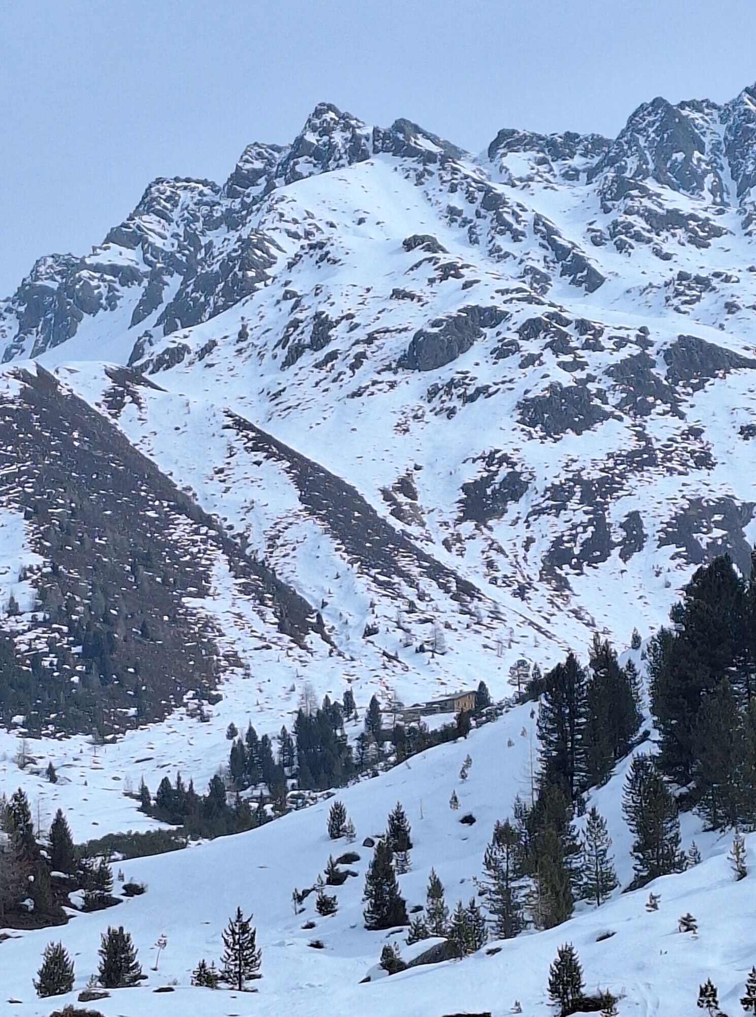
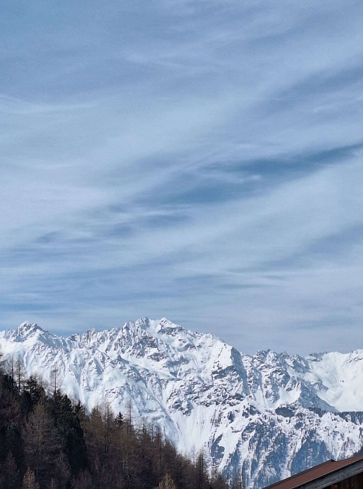


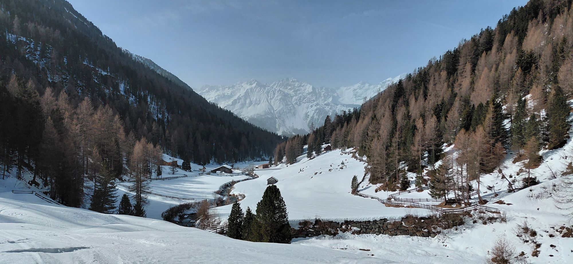
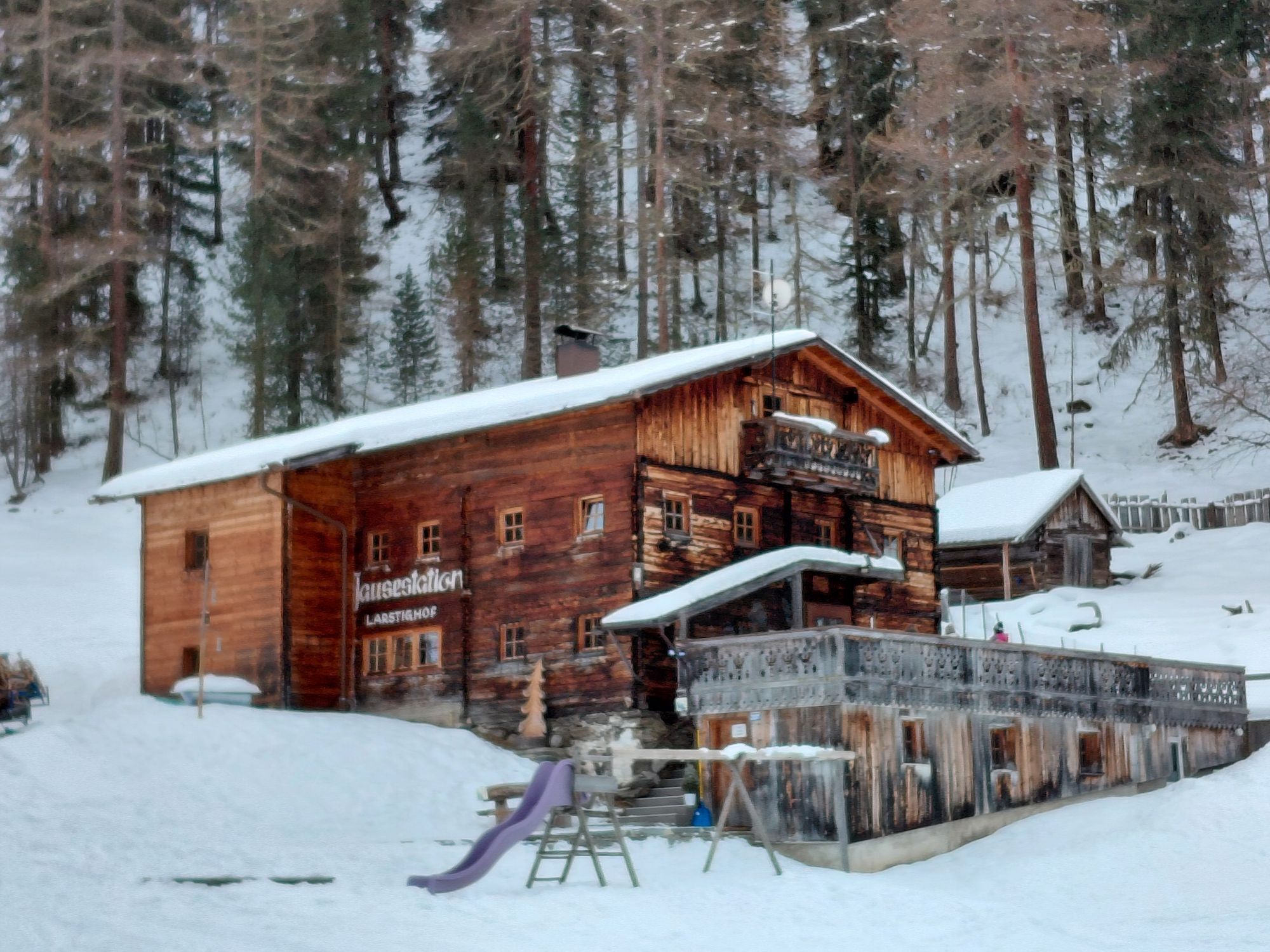

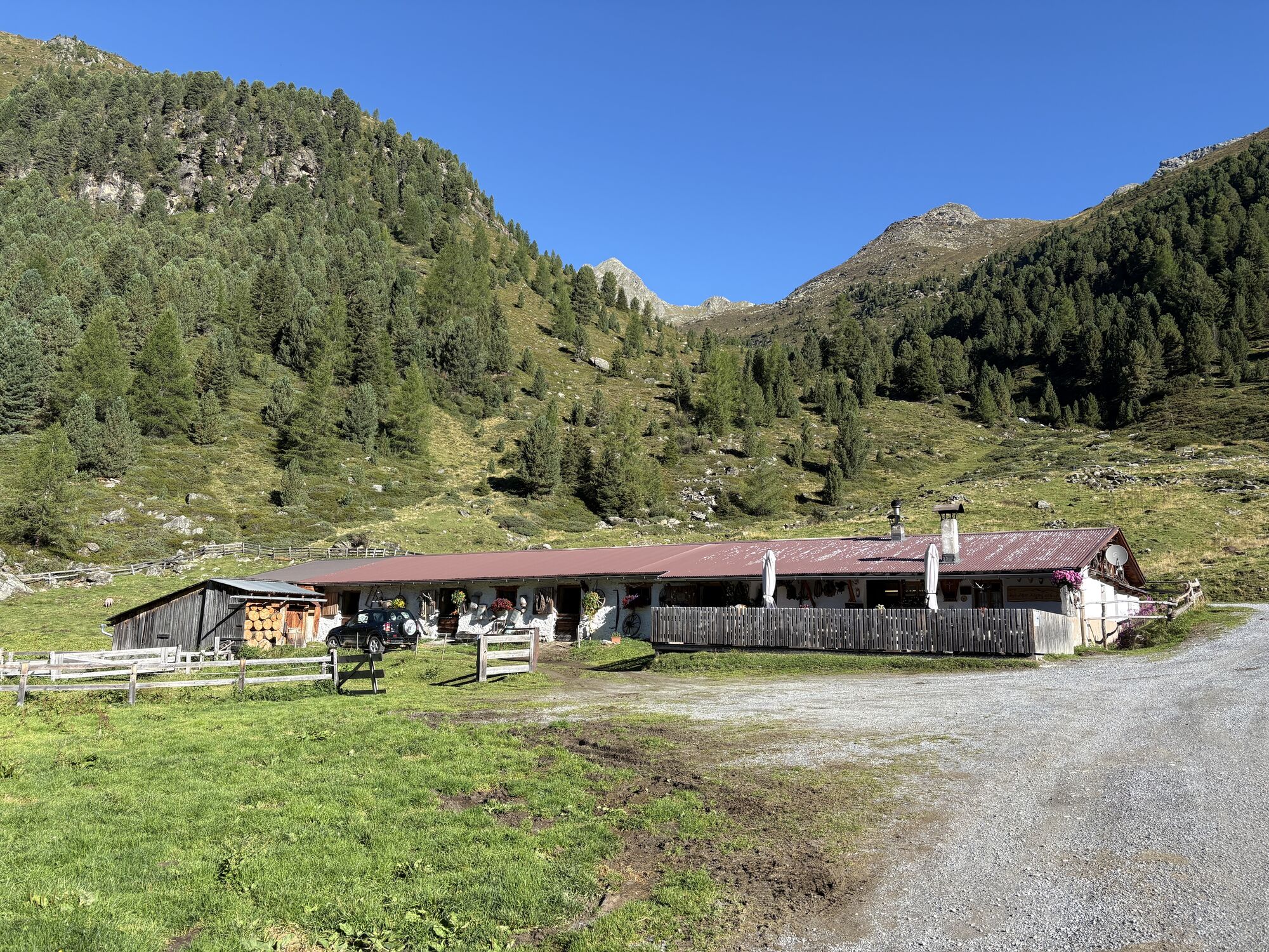

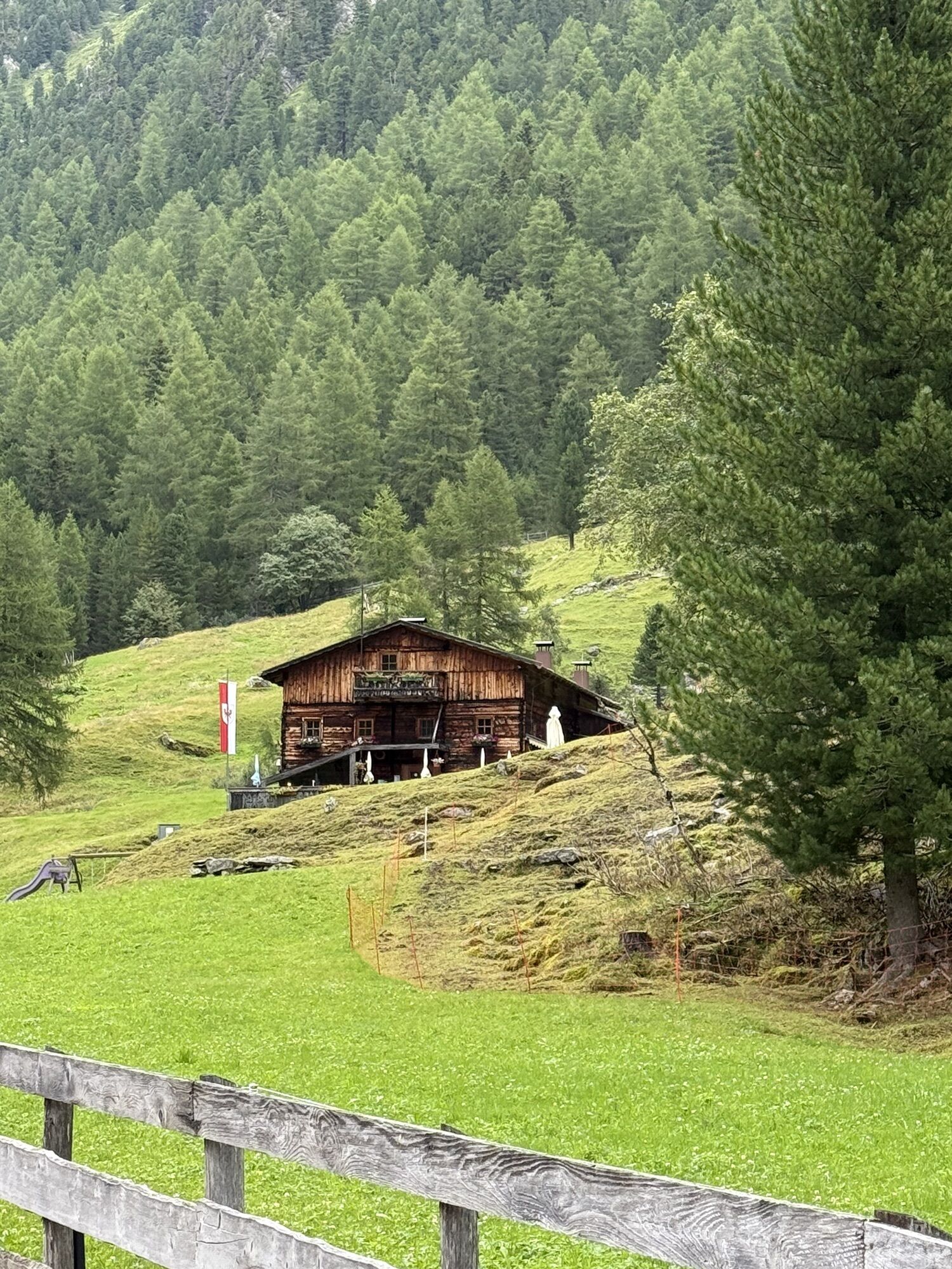
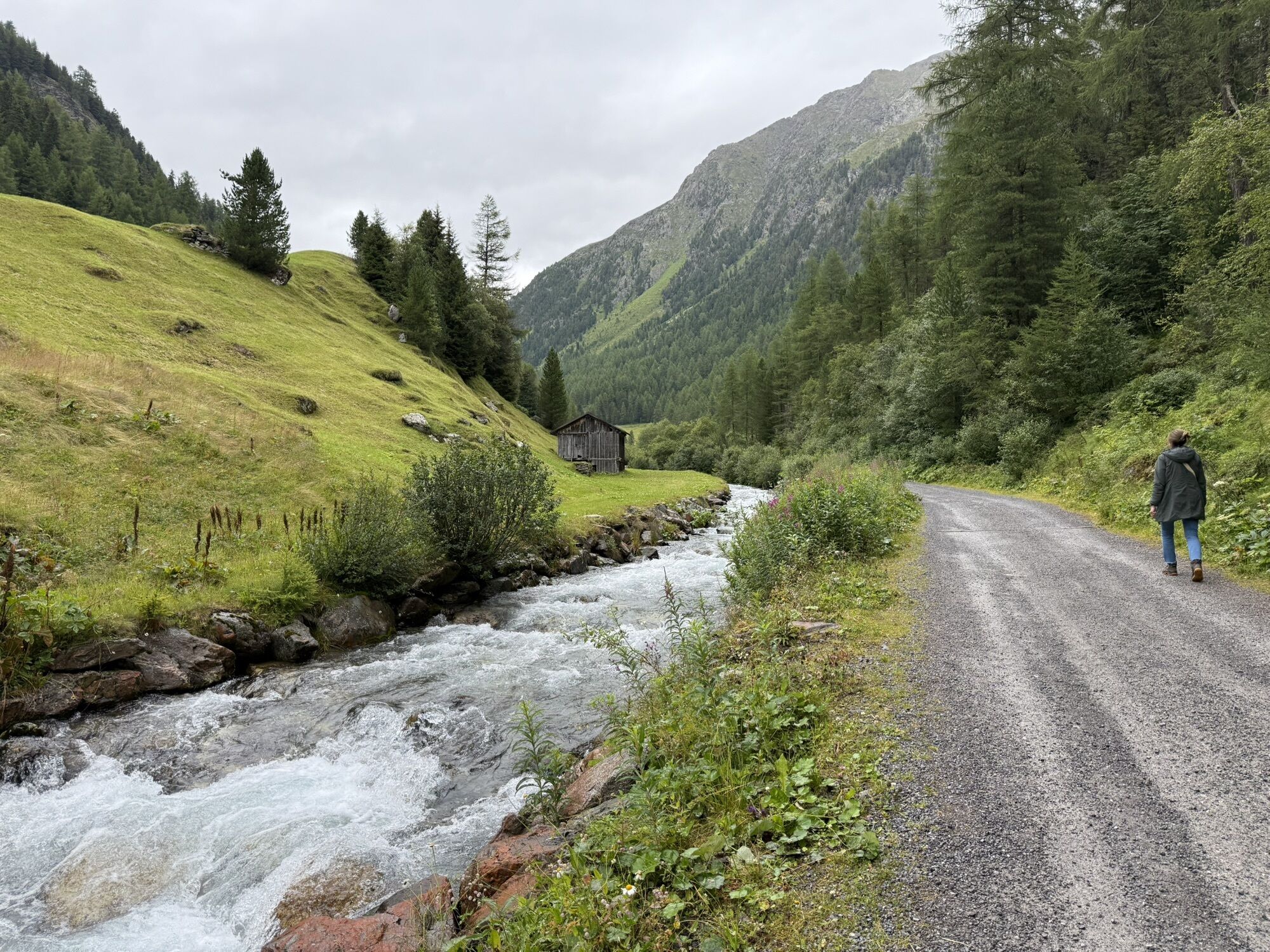
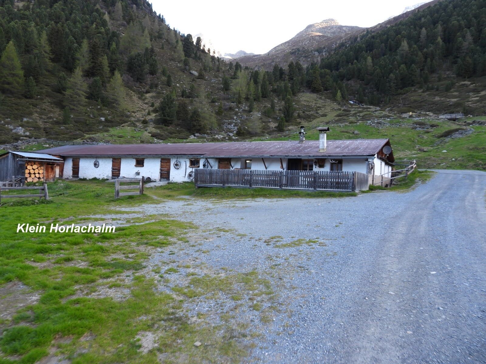


The ski tour starts at the Sennhof parking lot (next to the information) in Niederthai. Follow the winter hiking trail slightly ascending along the Horlachbach through the Horlach valley to the Kleinhorlachalm....
The ski tour starts at the Sennhof parking lot (next to the information) in Niederthai. Follow the winter hiking trail slightly ascending along the Horlachbach through the Horlach valley to the Kleinhorlachalm. From there, go left up into the Finstertal and continue to the Hohe Wasserfalle. There you can enjoy the breathtaking view until the descent into the valley begins.

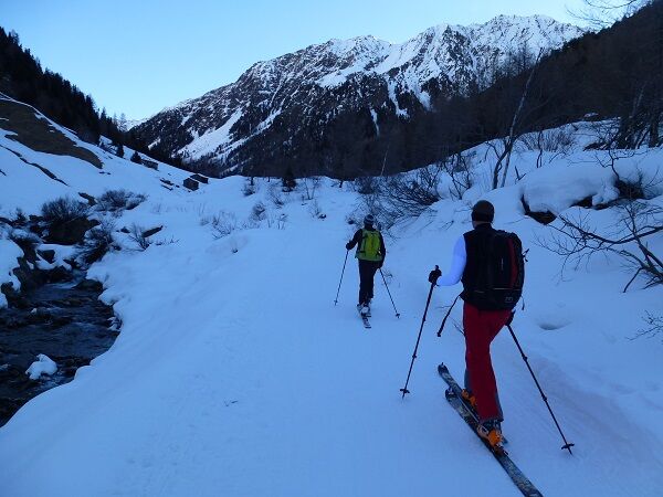
The ski tour starts at the Sennhof parking lot (next to the information) in Niederthai. Follow the winter hiking trail slightly ascending along the Horlachbach through the Horlach valley to the Kleinhorlachalm. From there, go left up into the Finstertal and continue to the Hohe Wasserfalle. There you can enjoy the breathtaking view until the descent into the valley begins.
Tak
The "standard ski touring equipment" consists of touring skis with touring bindings, telescopic poles, climbing skins, crampons, digital avalanche transceiver, avalanche shovel, avalanche probe, first aid kit, and a mobile phone. A "complete glacier equipment" consists of harness, two differently sized prusik loops or ascenders, two HMS carabiners, ice axe, crampons, and a rope. A backpack with appropriate contents should be carried, including spare clothing, sun protection, cold protection, food, and enough to drink! For hut overnight stays, do not forget to bring hygiene articles and a hut sleeping bag!#
For glacier crossings: a "complete glacier equipment" consists of harness, two differently sized prusik loops or ascenders, two HMS carabiners, ice axe, crampons, and a rope.
Please note the current snow and avalanche report for the coming days: https://lawinen.report/bulletin/latest
Avalanche Danger Scale
1 (LOW) An avalanche release is only possible with heavy additional load on very few, extreme steep slopes. No spontaneous avalanches (so-called slides) are expected. Generally safe conditions.
2 (MODERATE) An avalanche release is likely with heavy additional load especially on the indicated steep slopes. Larger avalanches are not expected. The snow cover is generally well consolidated except on some steep slopes. Cautious route selection on the indicated steep slopes and exposures.
3 (CONSIDERABLE) An avalanche release is already likely with slight additional load especially on the indicated steep slopes. Occasionally some medium, but occasionally also large avalanches are possible spontaneously. The snow cover is only moderately to weakly consolidated on many steep slopes. Experience in avalanche assessment required. Avoid indicated steep slopes and exposures as much as possible.
4 (HIGH) An avalanche release is possible already with slight additional load especially on the indicated steep slopes. Occasionally many medium, and repeatedly also large avalanches occur. On many steep slopes, the snow cover is only weakly consolidated. Route choice limited to moderately steep terrain and observing avalanche runout areas. Extensive experience in avalanche assessment required.
5 (VERY HIGH) Numerous large avalanches are expected spontaneously, even on moderately steep terrain. At this warning level, safe operation in ski areas is no longer possible. The snow cover is generally weakly consolidated and unstable. Avoid tours.
The drive to ÖTZTAL. Located in Tyrol, the Ötztal branches off towards the south as the longest side valley of the Eastern Alps. The car journey leads travelers via the Inn valley to the valley entrance and continues along the Ötztal. In addition to the toll highway, country roads can also be used. Your trip can be quickly and conveniently determined with the route planner.
To the route planner: https://www.google.at/maps.
Travel comfortably and safely by train to the Ötztal train station. The terminus or exit point is the ÖTZTAL station. Afterwards, you can conveniently and quickly travel with public transport or local taxi companies through the entire valley to your desired destination! The current bus timetable is available at: http://fahrplan.vvt.at
The following parking options are available in Niederthai:
Parking lot Sennhof | Cost €5.00 car day ticket, mandatory from 07:00 AM to 6:30 PM, multi-day tickets possible | Guests with disability ID - visible on-site - park free | Buses park freeSki Touring Rules
Observe the applicable regulations for all activities in nature and when choosing routes (e.g., wildlife protection areas, hunting closures, afforestation areas, information panels, etc.) Respect quiet zones for wild animals and avoid feeding places as well as loud noise Cross forested areas in winter preferably only on designated trails and routes; animals react very panicked to unlocatable noise. Recognize the habitats of wild animals, avoid animals where possible. Observe wild animals only from a distance. Always keep dogs on a leash; it is absolutely irresponsible to let dogs run free in the forest during the winter emergency period. Proper time planning: start early enough and return before darkness falls. In spring, you should be back at the hut by noon (avalanche danger). Never drive through afforestation and young growth areas.Ötztal Tourism assumes no liability for the listed tours and recommends taking a mountain guide. Glacier crossings are only possible with a rope and in a group.
Before starting a tour, you should inform the valley about your destination and expected return time. The carriage of an avalanche transceiver is strongly recommended.
More information on ski touring in the Ötztal can be found here
Aktywności na trasie


Popularne wycieczki w okolicy
- 4,5
Winnebachsee Hut – Längenfeld/Gries
średniWędrówka 4,74 km - 4,4
Stuibenfall Umhausen circular hike
światłoWędrówka 9,32 km - 4,2
Hike Stuibenfall - Umhausen
światłoWędrówka 2,95 km - 4,3
Lampsenspitze, Sellrain, Tirol
średniWycieczka narciarska 4,97 km - 4,3
Amberger Hut - Längenfeld/Gries
średniWędrówka 5,60 km - 4,5
Oetz - Piburger See - Oetz
średniWędrówka 7,16 km - 4,7
Winter circular route Brandalm/Burgstein - Längenfeld 204
średniWędrówka zimą 5,44 km - 4,4
Rundwanderung Hängebrück3
światłoWędrówka 6,32 km - 4,4
Hundstalsee
średniWędrówka 7,35 km - 4,6
Summit route Faltegartenköpfl
średniWędrówka 4,04 km

Wędrówki i tropienie


Nie przegap ofert i inspiracji na następne wakacje
Twój adres e-mail została dodana do listy mailingowej.