


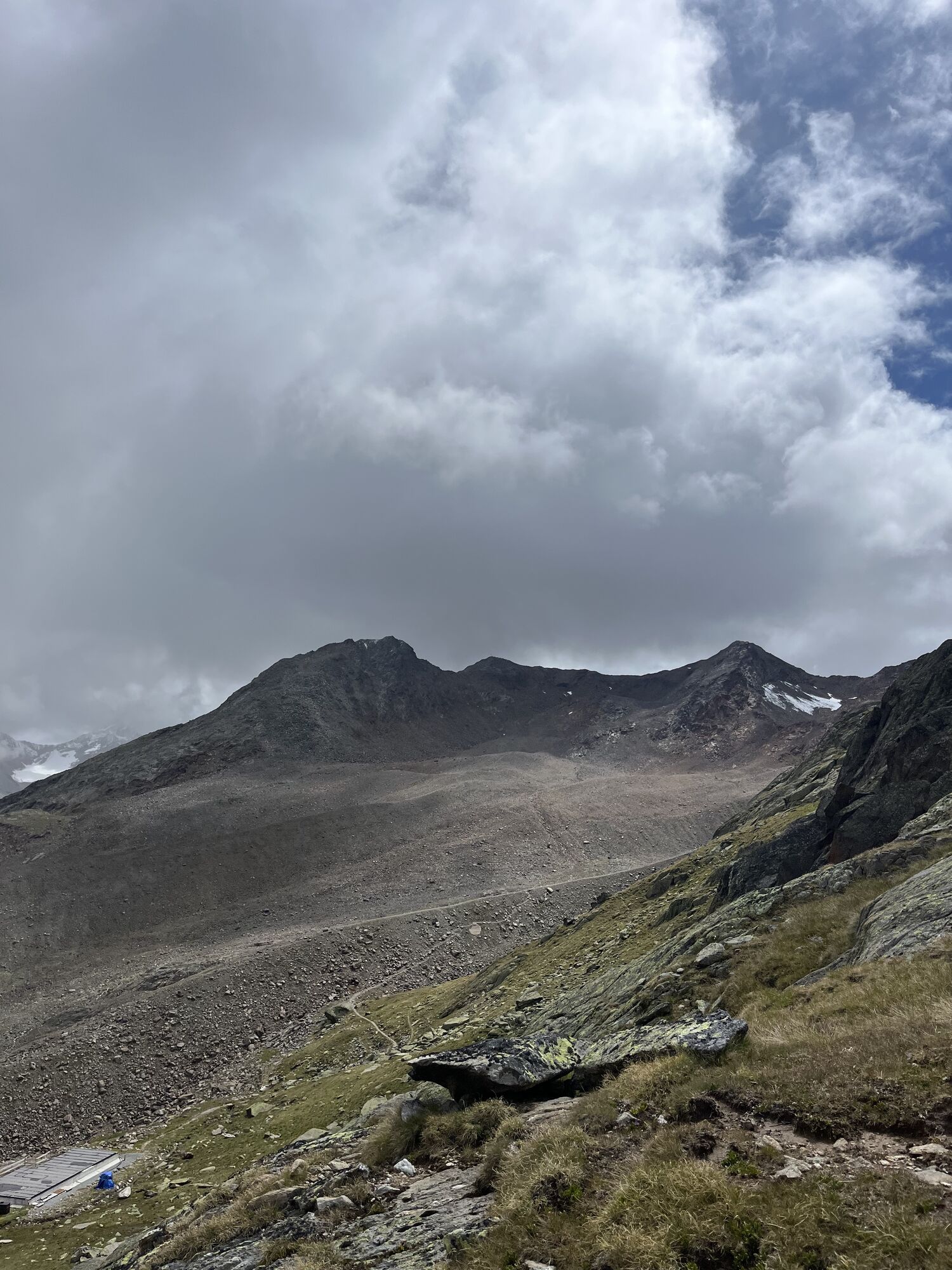
Hinterer Brochkogel
From the Vernagthütte (closed in winter 24/25, no winter room) first head north, from approx. 2,900 m above sea level northeast to the Kleiner Vernagtferner. Now to the south ridge of Petersenspitze, towards...
From the Vernagthütte (closed in winter 24/25, no winter room) first head north, from approx. 2,900 m above sea level northeast to the Kleiner Vernagtferner. Now to the south ridge of Petersenspitze, towards Brochkogeljoch (3,423 m). At about 3,200 m, head east to Vernagtjoch (3,400 m), where you turn left onto the gentler ramp leading to the summit structure. Then continue on foot to the summit. Under good conditions, it is also possible to ski down the 150 m high steep summit face.
Ascent: 4 h
Descent: 45 min

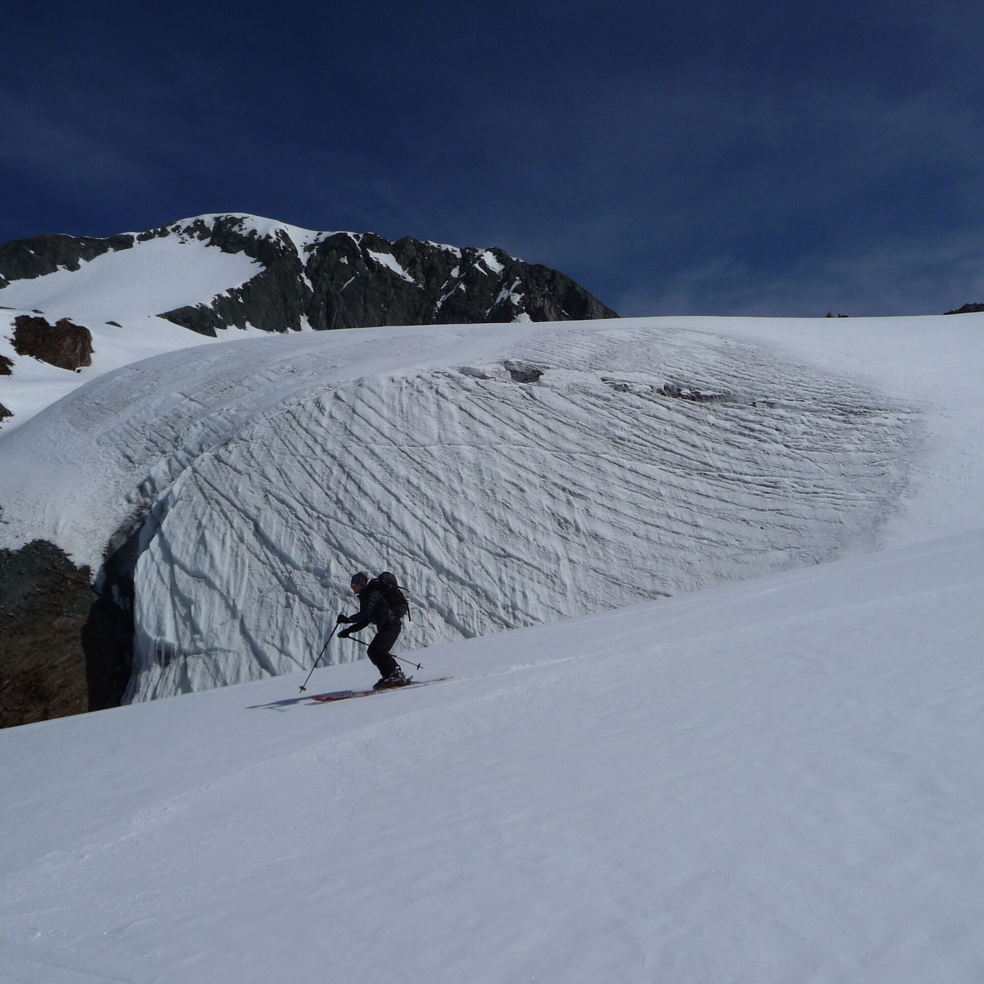
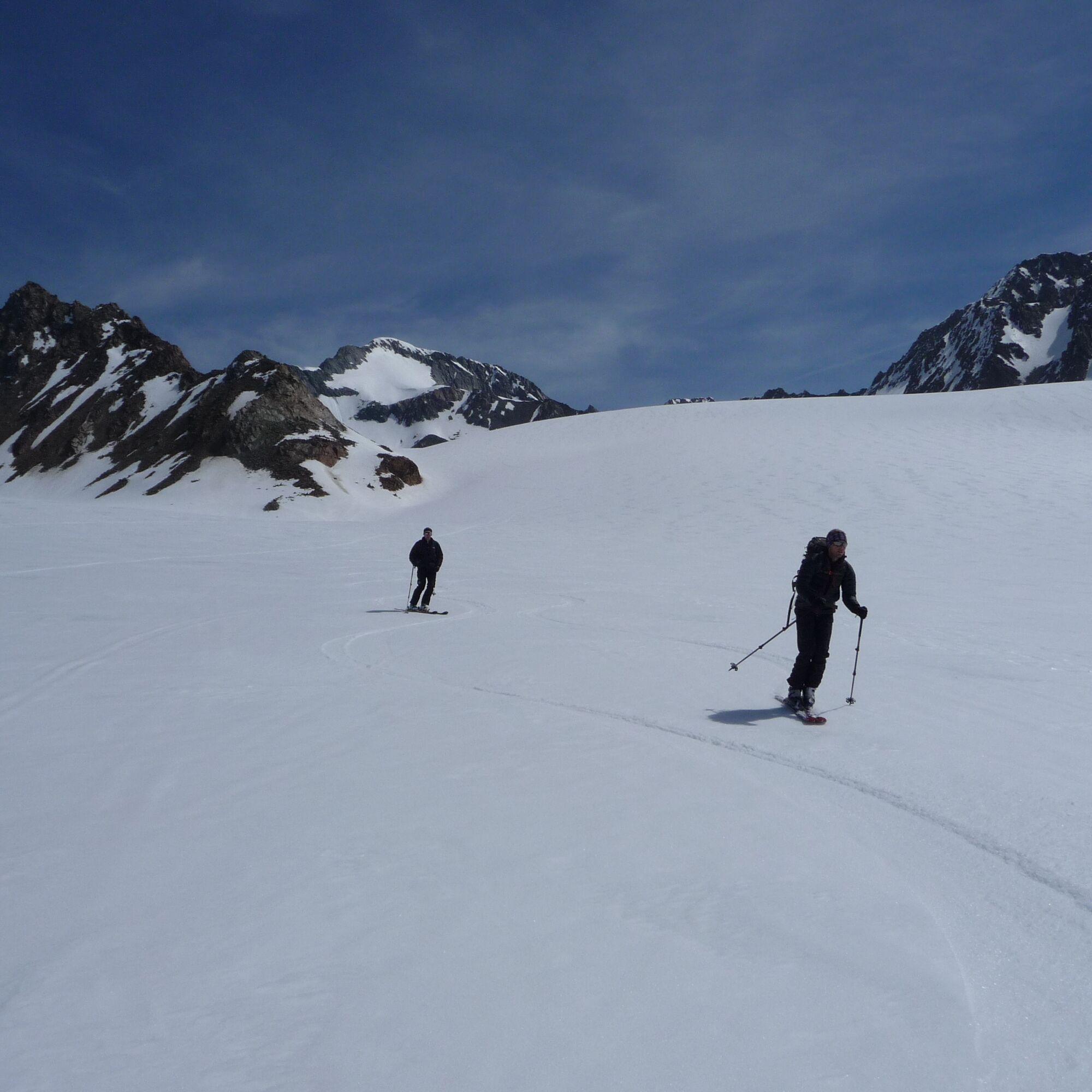
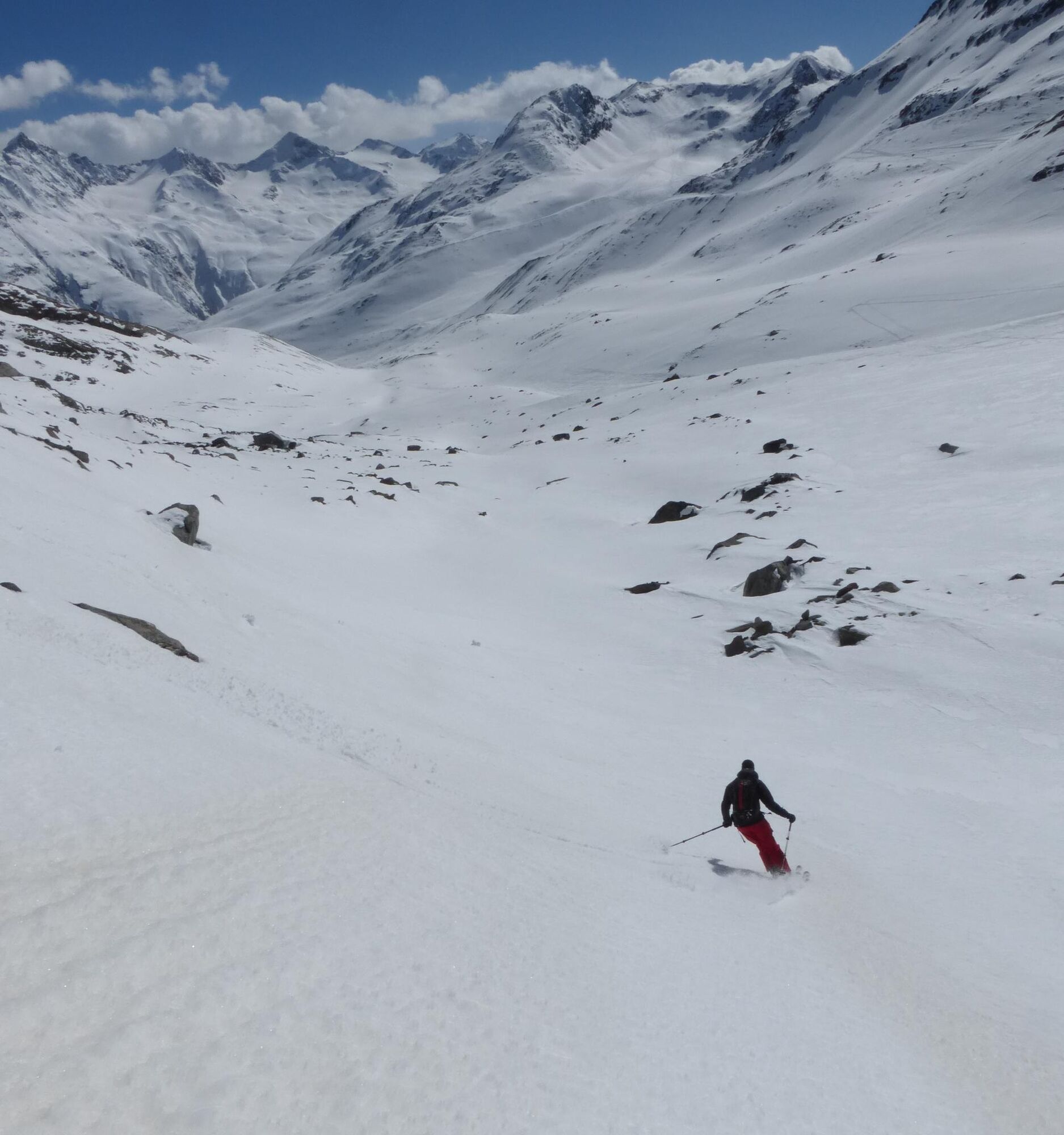
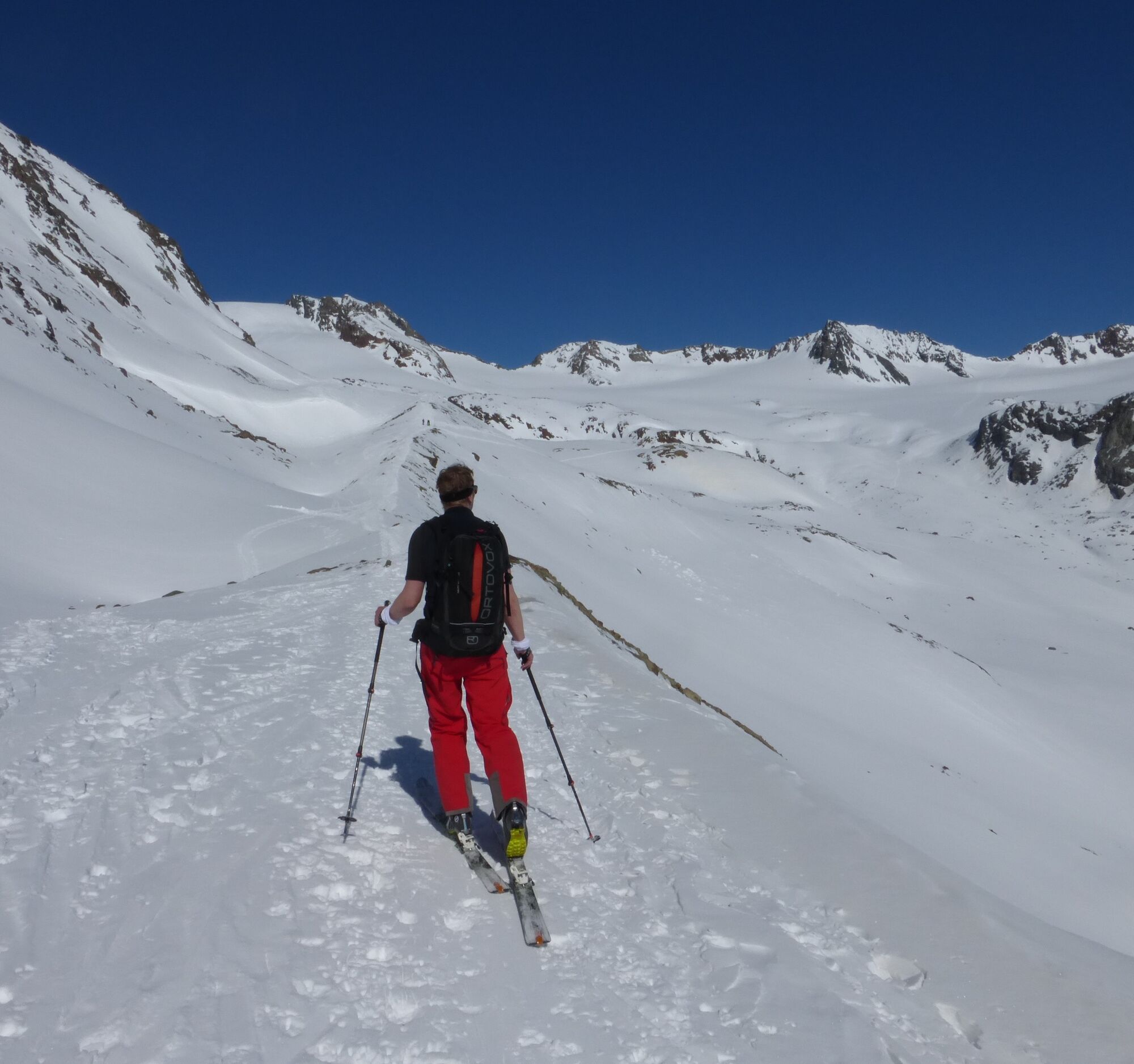
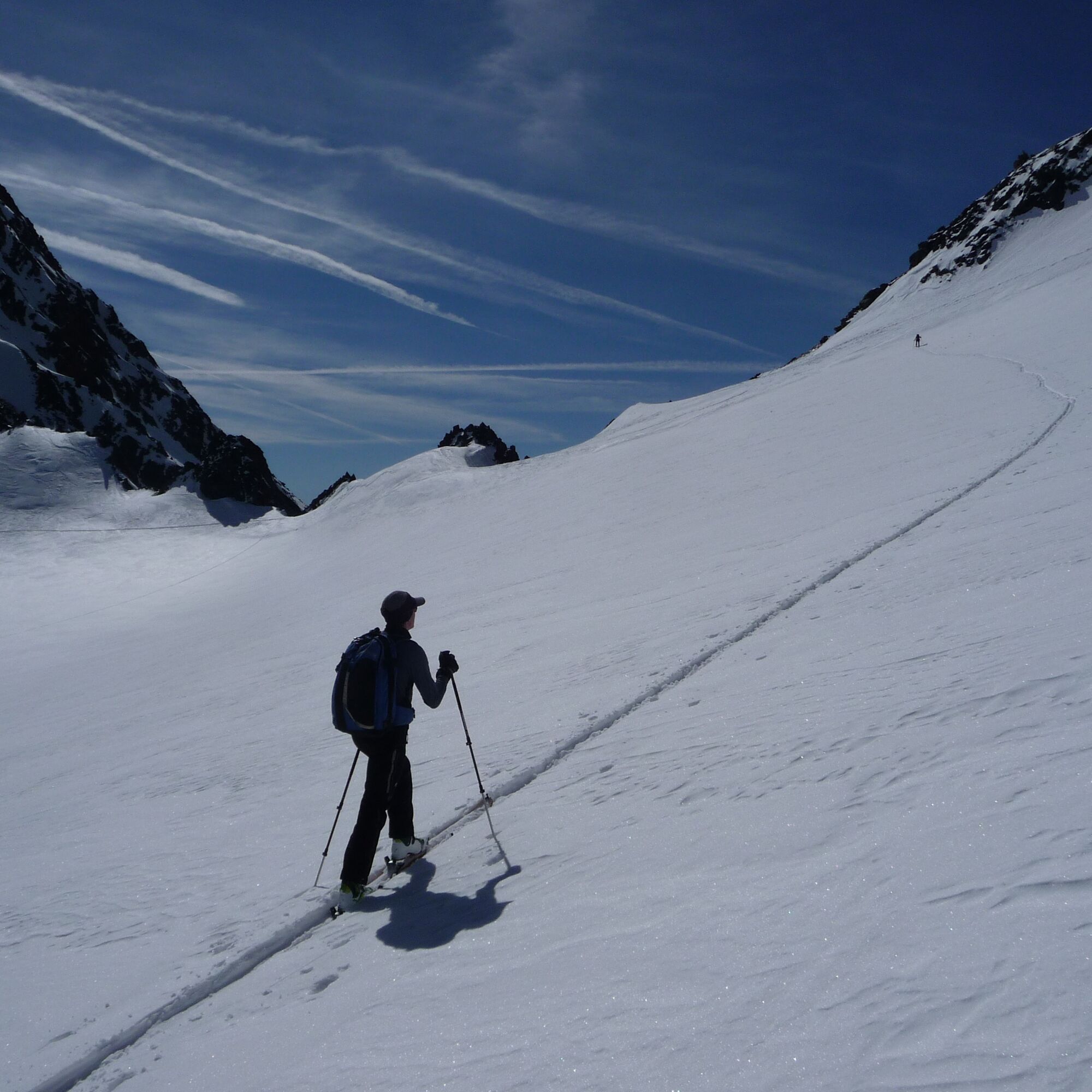
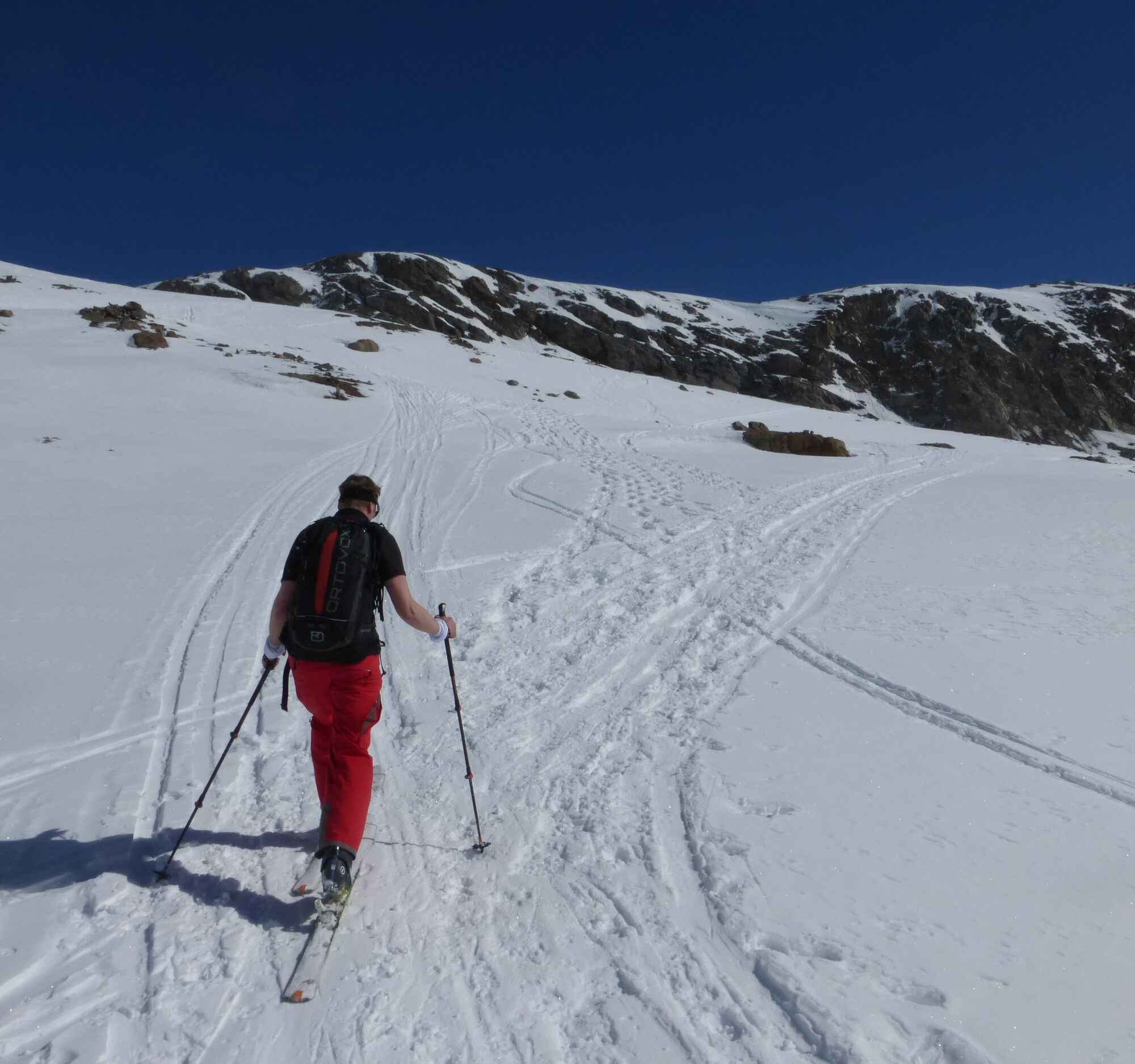
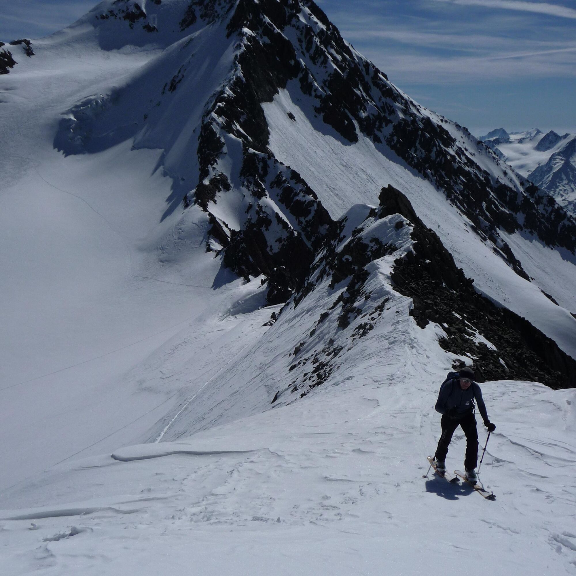
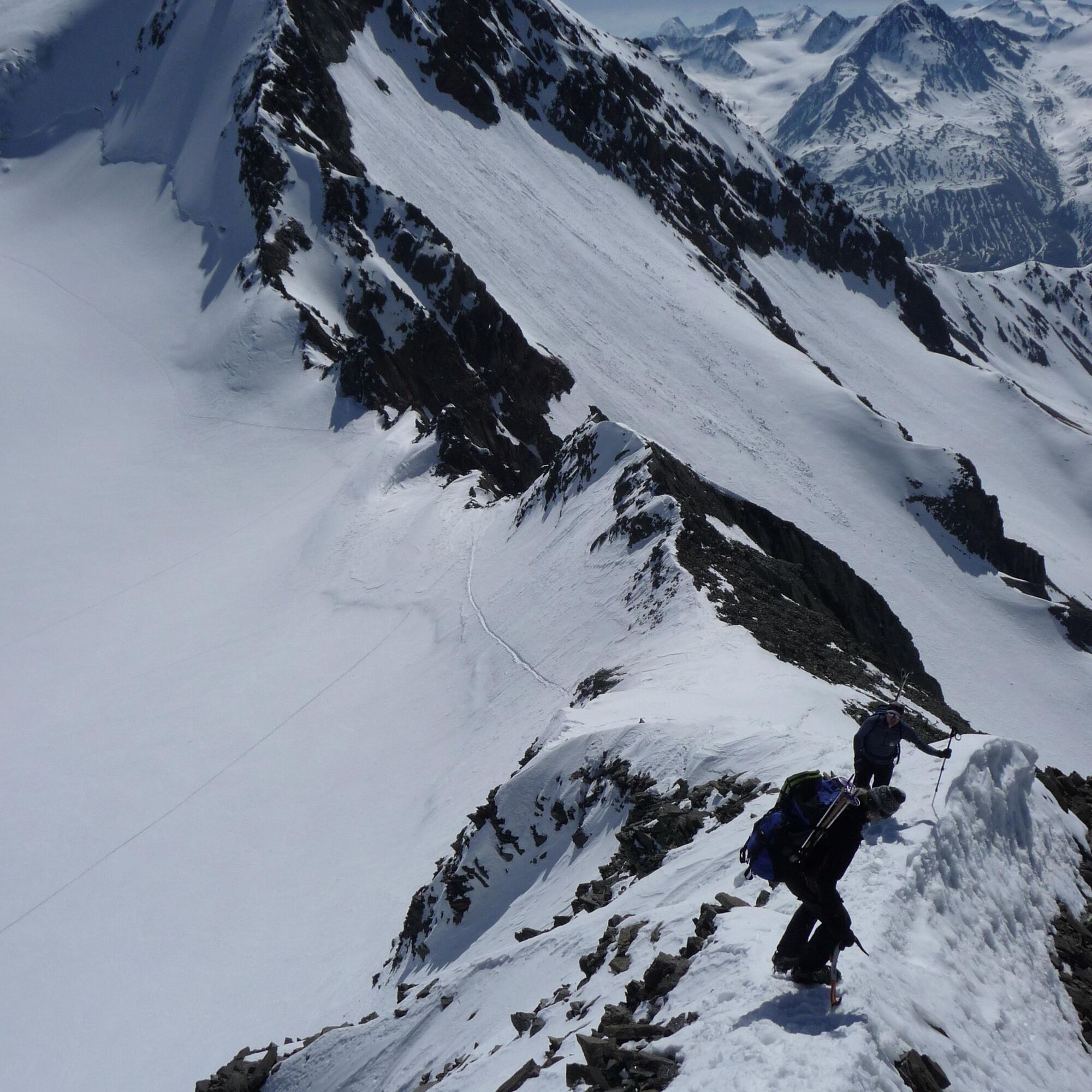
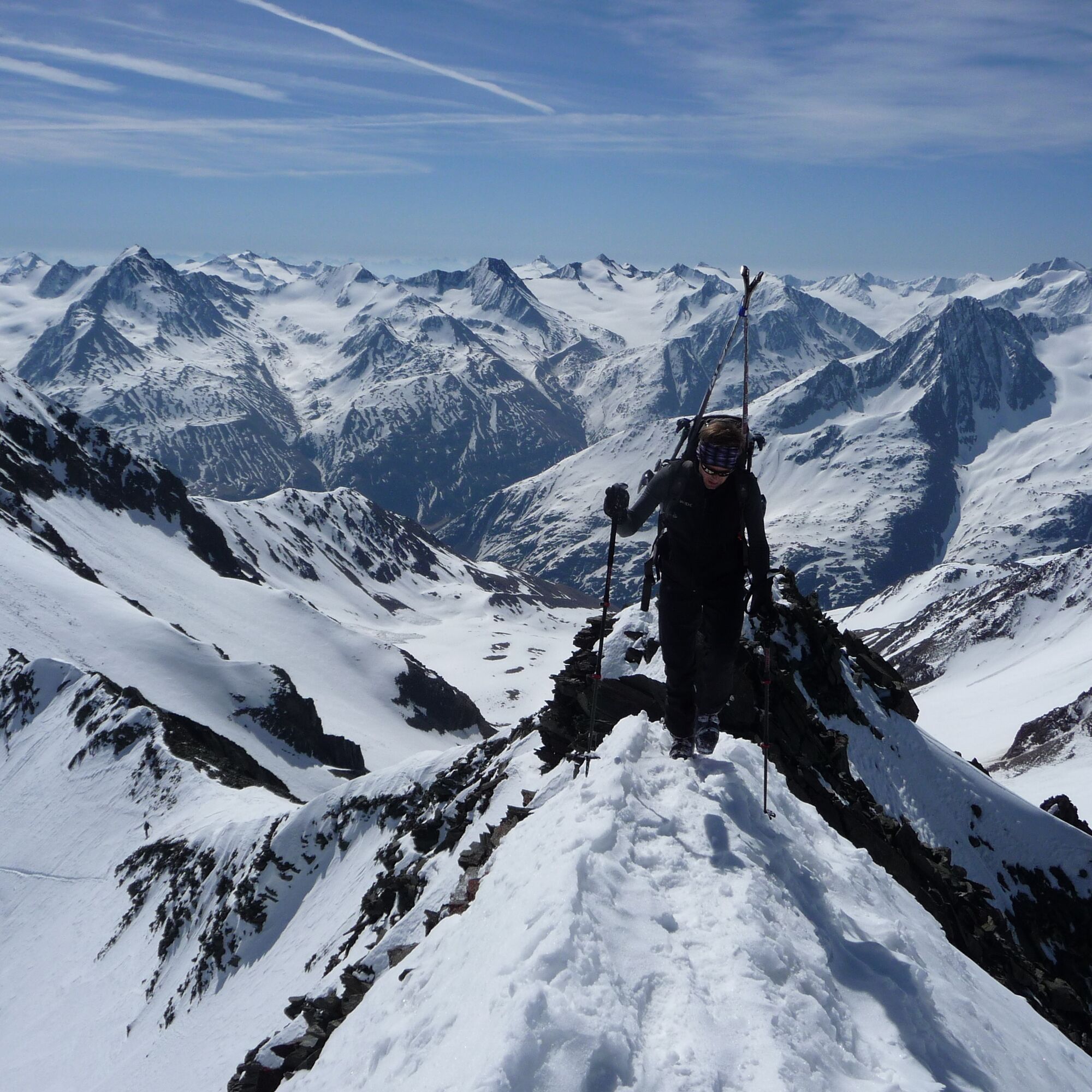
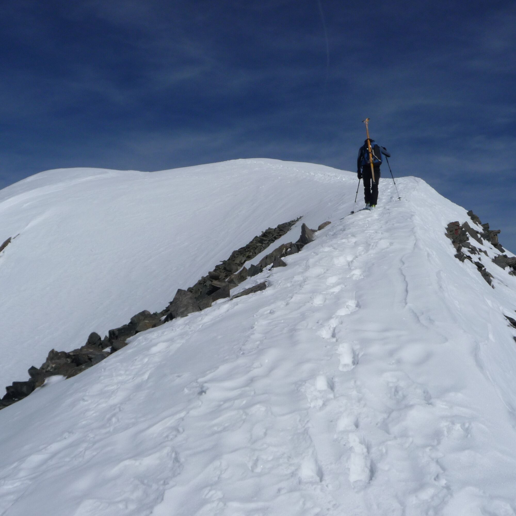
The Hinterer Brochkogel 3,625m clearly stands in the shadow of Tyrol's highest mountain, the Wildspitze 3,774m. But not only because it is about 150 meters lower in elevation, but also because from the Taschachferner it represents a significantly more challenging alpine goal via the southeast ridge (normal route), as well as the north ridge or the north face, requiring considerably more alpine experience and sure-footedness than the Wildspitze 3,774m by the normal route. To reach our destination, we have to switch from the Vernagtferner to the Taschachferner. The key point is the steep section of the Brochkogeljoch 3,423m. Up to here, the route is easy and runs through unproblematic, partly glaciated terrain. The Vernagtferner here is crevasse-poor and usually easy to cross in spring. Away from the 1850 moraine north of the Vernagthütte 2755m, avalanches are not an issue even up to the foot of the Brochkogeljoch 3,423m. Under favorable firn conditions in spring, the col is also easily passable. Ice axe and crampons can be useful under unfavorable conditions. From the Brochkogeljoch 3,423m, the route continues with a gentle ascent in a wide loop across the Taschachferner to the foot of the Hinterer Brochkogel 3,625m. Below the north and east faces, at a corresponding safety distance, you traverse southwards towards the Mitterkarjoch 3,470m. Slightly east of the col you head over a fairly steep slope towards the start of the southeast ridge. At the latest at point 3,540m, skis must be taken off and carried on the shoulder. The southeast ridge is partly very exposed. There are no significant climbing difficulties, but alpine sure-footedness and a head for heights are required. Under good conditions, meaning sufficient snow coverage and firmed melt crust on the south face of the Hinterer Brochkogel 3,625m, it is possible to ski down directly from the summit to the Vernagtferner. However, conditions may also be less favorable, meaning the upper part of the south face, up to 40° steep, must be descended on foot. In this case, crampons and an ice axe can be very helpful. The further descent over the Vernagtferner is then easy and a ski enthusiast's pleasure.
Recommended ski touring equipment
The "standard ski touring equipment" consists of touring skis with touring bindings, telescopic poles, climbing skins, crampons, digital avalanche transceiver, avalanche shovel, avalanche probe, first aid kit, and a mobile phone. A "complete glacier equipment" includes harness, two differently sized prusik loops or ascenders, two HMS carabiners, ice axe, crampons, and a rope. A backpack with appropriate contents should be carried, including change of clothes, sun protection, cold protection, provisions, and enough to drink! Do not forget hygiene articles and a hut sleeping bag for overnight stays in huts!
Difficulty rating
Easy: Easy, short to moderately long routes with ascents not exceeding 25° or only for short periods. Moderate: Medium-difficulty, moderately long to long routes with ascents not exceeding 35° or only briefly. Difficult: Difficult, long to very long routes with ascents reaching 40° or more, and climbing passages up to grade II difficulty (UIAA).Avalanche danger scale
1 (LOW)
An avalanche release is only possible under a high additional load on very few, extreme steep slopes. No spontaneous avalanches (so-called slides) are expected. Generally safe conditions.
2 (MODERATE)
An avalanche release is likely under a high additional load especially on the indicated steep slopes. Larger avalanches are not expected. The snow cover is generally well compacted, except on some steep slopes. Careful route selection at the indicated steep slopes and aspects.
3 (CONSIDERABLE)
An avalanche release is already probable under slight additional load mainly on the indicated steep slopes. Occasionally spontaneous medium, occasionally also large avalanches are possible. The snow cover on many steep slopes is only moderately to weakly compacted. Experience in avalanche assessment is necessary. Avoid indicated steep slopes and aspects as much as possible.
4 (HIGH)
An avalanche release is already possible under slight additional load mainly on the indicated steep slopes. Often many medium, sometimes large avalanches occur. On many steep slopes the snow cover is only weakly compacted. Route choice should be limited to moderately steep terrain and avalanche runout zones must be observed. Much experience in avalanche assessment is necessary.
5 (VERY HIGH)
Numerous large avalanches are expected spontaneously, also in moderately steep terrain. At this warning level, secure operation in ski areas is no longer possible. The snow cover is generally weakly compacted and unstable. It is recommended to refrain from tours.
See also at lawine.tirol.gv.at
Vent is located in the west of Austria in the state of TIROL, in a southern side valley of the Inn valley - the ÖTZTAL. For your journey by car, plan the optimal route from your hometown with the route planner online at: https://www.google.at/maps
Travel comfortably and safely by train to the Ötztal train station. The final stop or exit point is the ÖTZTAL station. Afterwards, travel conveniently and quickly with public transport or local taxi companies through the entire valley to your desired destination! The current bus timetable is available at: http://fahrplan.vvt.at
In the mountaineering village Vent you have the following parking options.
- In summer, in front of the village (parking meter, only coins or EC card) and at the valley station of the chairlift (at the mountain railway cashier)
- In winter, only at the valley station of the chairlift.
Cost: €5.00 per day/car
Ski touring rules
Respect all regulations for activities in nature and route selection (e.g., wildlife protection areas, hunting closure zones, reforestation areas, information boards, etc.) Respect quiet zones for wildlife and avoid feeding areas and loud noise Cross forest areas in winter only on designated paths and routes, as animals react panicked to unlocalizable noise. Recognize wildlife habitats and avoid animals if possible. Observe wildlife only from a distance. Always keep dogs on a leash; it is absolutely irresponsible to let dogs run free in the forest during winter emergency periods. Plan your time correctly: start early and be back before darkness. In spring, you should be back at the hut by midday (avalanche danger). Never ski through reforestation and young growth areas.Ötztal Tourism assumes no liability for these tours and recommends taking a mountain guide. Glacier crossings are only possible with a rope and in a group.
Before starting a tour, inform someone in the valley of your destination and expected return time. Carrying an avalanche transceiver is strongly recommended.
More info about ski tours in the Ötztal: https://www.oetztal.com/skitouren
Only for experienced ski mountaineers
Reservation of hut sleeping places required!
Vernagthütte - closed in winter 24/25, no winter room either
Popularne wycieczki w okolicy
-
4,8
Vent - Kreuzspitze
Wędrówka 20,6 km -
3,1
Tiefenbachglacier - Mountaineering Village Vent
średniWędrówka 10,8 km -
4,5
Vent - Wilder Mann - Breslauer Hütte - Stableinalm
średniWędrówka 7,25 km -
4,4
Hochtour Wildspitze, 3.768m
średniWycieczka wysokogórska 9,75 km -
5,0
Obergurgl - Ramolhaus
Wędrówka 7 km -
4,1
Hohe Geige über Gawinden und den Westgrat
ciężkiWędrówka 14,3 km -
5,0
From Vent to the Similaun at 3,606 m
ciężkiWycieczka wysokogórska 29,2 km -
5,0
Kurzras - Schöne Aussicht - ins hintere Eis
średniWędrówka 13,0 km -
4,5
Gletschersteig Pitztaler Gletscher - Taschachhaus - Mandarfen
ciężkiWędrówka 13,4 km -
4,8
Vent - Martin Busch Hut - Similaun Hut
średniWędrówka 13,7 km

Wędrówki i tropienie


Nie przegap ofert i inspiracji na następne wakacje
Twój adres e-mail została dodana do listy mailingowej.