


From Vent to the Similaun at 3,606 m
Zdjęcia naszych użytkowników
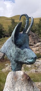
 © MinaUtworzono dnia 29.07.2025
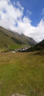 © MinaUtworzono dnia 29.07.2025
 © MinaUtworzono dnia 29.07.2025
 © MinaUtworzono dnia 29.07.2025
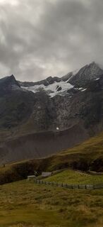 © MinaUtworzono dnia 29.07.2025
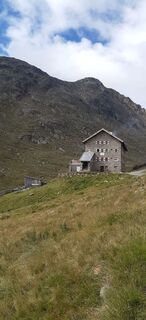 © MinaUtworzono dnia 29.07.2025
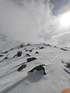
 © Florian OffergeltUtworzono dnia 13.03.2026
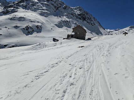 © Florian OffergeltUtworzono dnia 13.03.2026
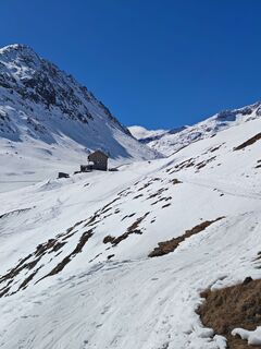 © Florian OffergeltUtworzono dnia 13.03.2026
 © Florian OffergeltUtworzono dnia 13.03.2026
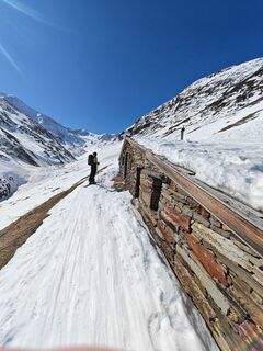 © Florian OffergeltUtworzono dnia 13.03.2026
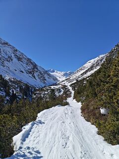 © Florian OffergeltUtworzono dnia 13.03.2026
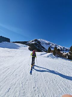 © Florian OffergeltUtworzono dnia 13.03.2026
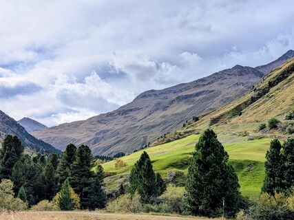
 © Sabrina HackelUtworzono dnia 16.09.2025
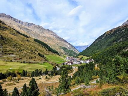 © Sabrina HackelUtworzono dnia 16.09.2025
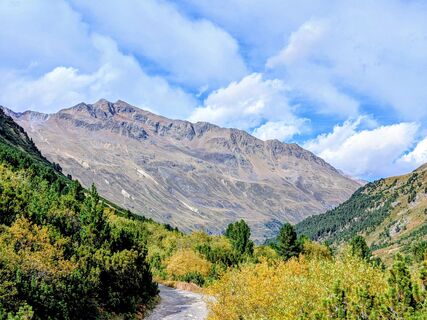 © Sabrina HackelUtworzono dnia 16.09.2025
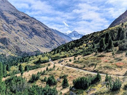 © Sabrina HackelUtworzono dnia 16.09.2025
 © Sabrina HackelUtworzono dnia 16.09.2025
 © Sabrina HackelUtworzono dnia 16.09.2025
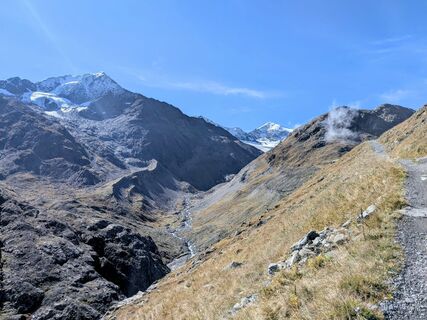 © Sabrina HackelUtworzono dnia 16.09.2025
 © Sabrina HackelUtworzono dnia 16.09.2025
 © Sabrina HackelUtworzono dnia 16.09.2025
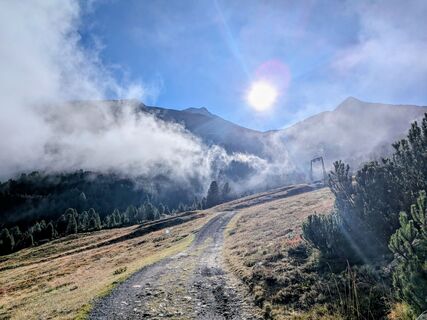 © Sabrina HackelUtworzono dnia 16.09.2025
 © Lukas EschenbacherUtworzono dnia 23.08.2025
 © Lukas EschenbacherUtworzono dnia 23.08.2025
 © Lukas EschenbacherUtworzono dnia 23.08.2025
 © Lukas EschenbacherUtworzono dnia 23.08.2025
 © Jan kopeckýUtworzono dnia 08.08.2025
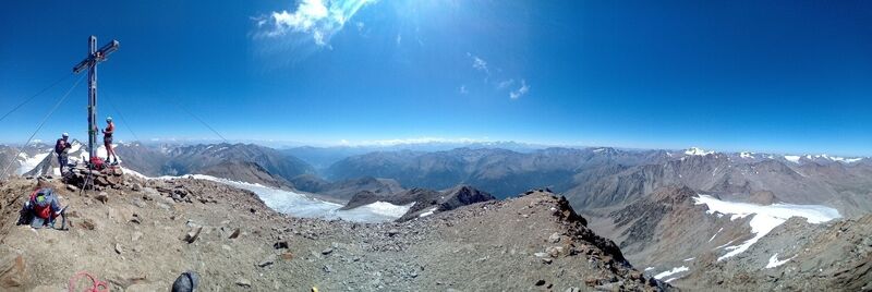 © Jan kopeckýUtworzono dnia 08.08.2025
 © Jan kopeckýUtworzono dnia 08.08.2025
 © Jan kopeckýUtworzono dnia 08.08.2025
 © Jan kopeckýUtworzono dnia 08.08.2025
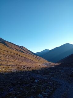 © Jan kopeckýUtworzono dnia 08.08.2025
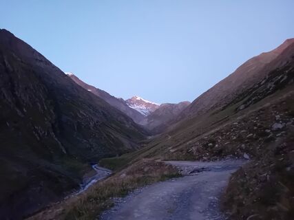 © Jan kopeckýUtworzono dnia 08.08.2025
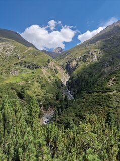
 © okidoki1980Utworzono dnia 07.08.2025
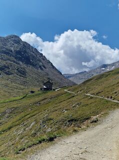 © okidoki1980Utworzono dnia 07.08.2025
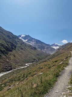 © okidoki1980Utworzono dnia 07.08.2025
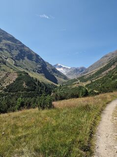 © okidoki1980Utworzono dnia 07.08.2025
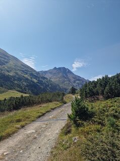 © okidoki1980Utworzono dnia 07.08.2025
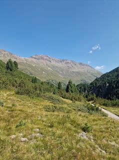 © okidoki1980Utworzono dnia 07.08.2025
 © okidoki1980Utworzono dnia 07.08.2025
 © okidoki1980Utworzono dnia 07.08.2025
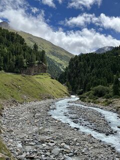
 © Jonas KaufmannUtworzono dnia 31.07.2025
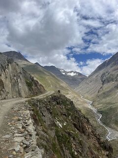 © Jonas KaufmannUtworzono dnia 30.07.2025
 © Jonas KaufmannUtworzono dnia 30.07.2025
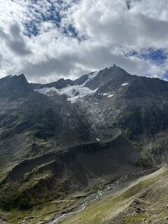 © Jonas KaufmannUtworzono dnia 30.07.2025
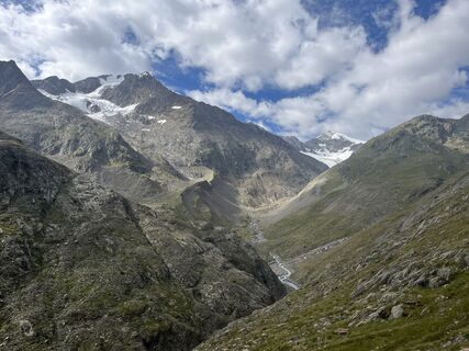 © Jonas KaufmannUtworzono dnia 30.07.2025
 © Jonas KaufmannUtworzono dnia 30.07.2025


The Similaun – meaning "The White Goddess Ana" – was first ascended in 1834 by Pastor Theodor Kaser and mountain guide Josef Raffeiner from Schnalstal. In 1899, the foundation stone for the construction...
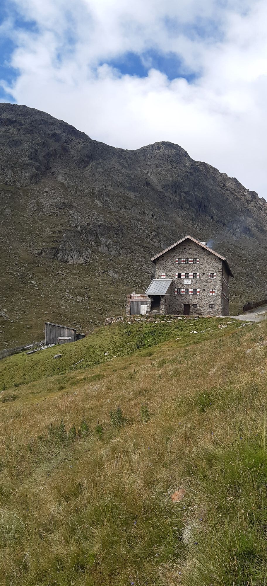
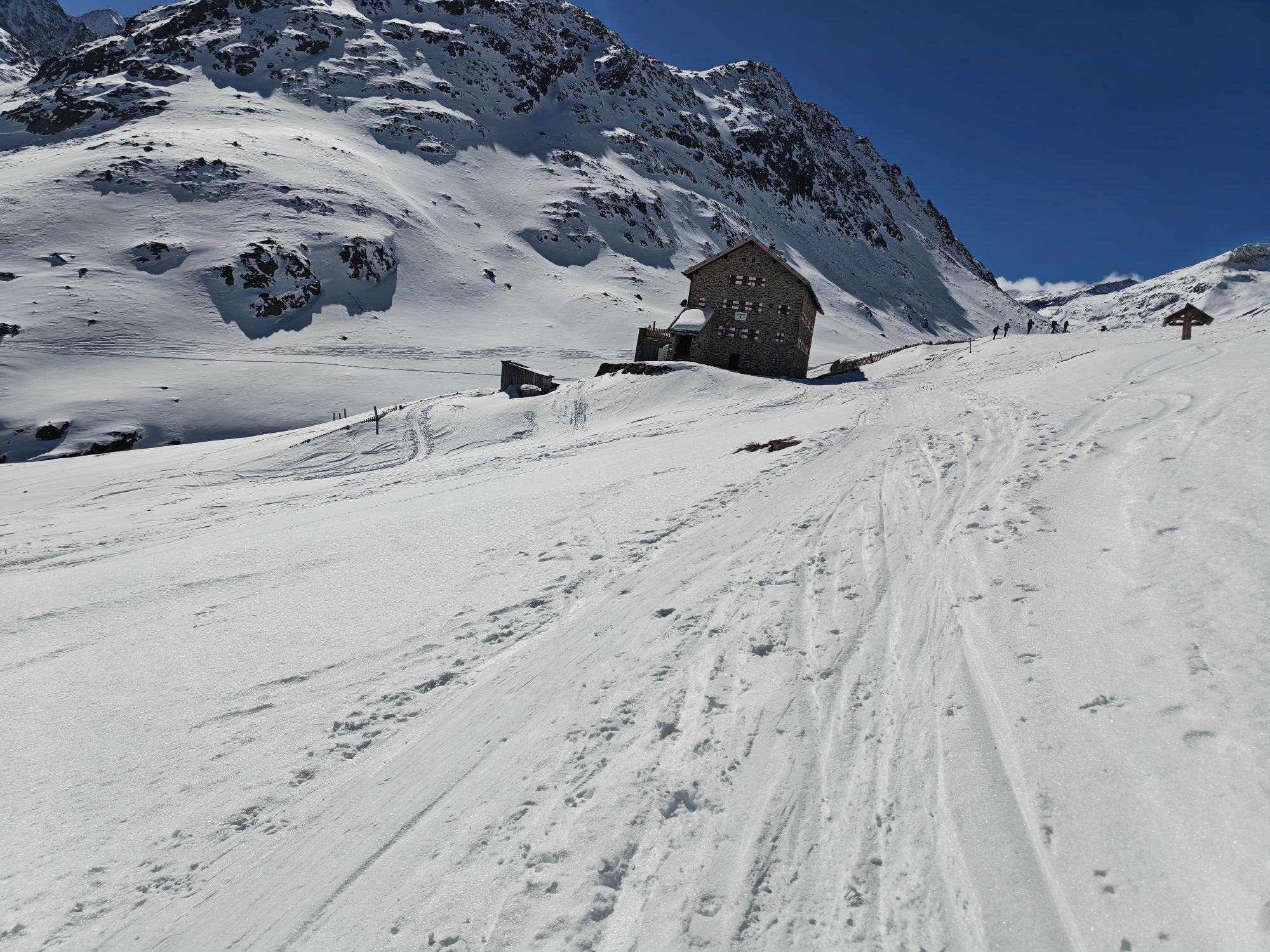
The Similaun – meaning "The White Goddess Ana" – was first ascended in 1834 by Pastor Theodor Kaser and mountain guide Josef Raffeiner from Schnalstal. In 1899, the foundation stone for the construction of the Similaun Hut was laid.
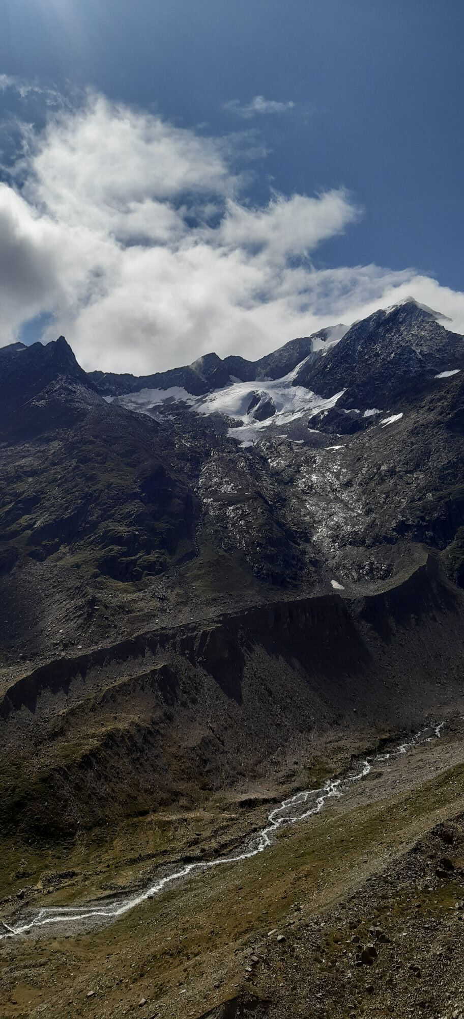
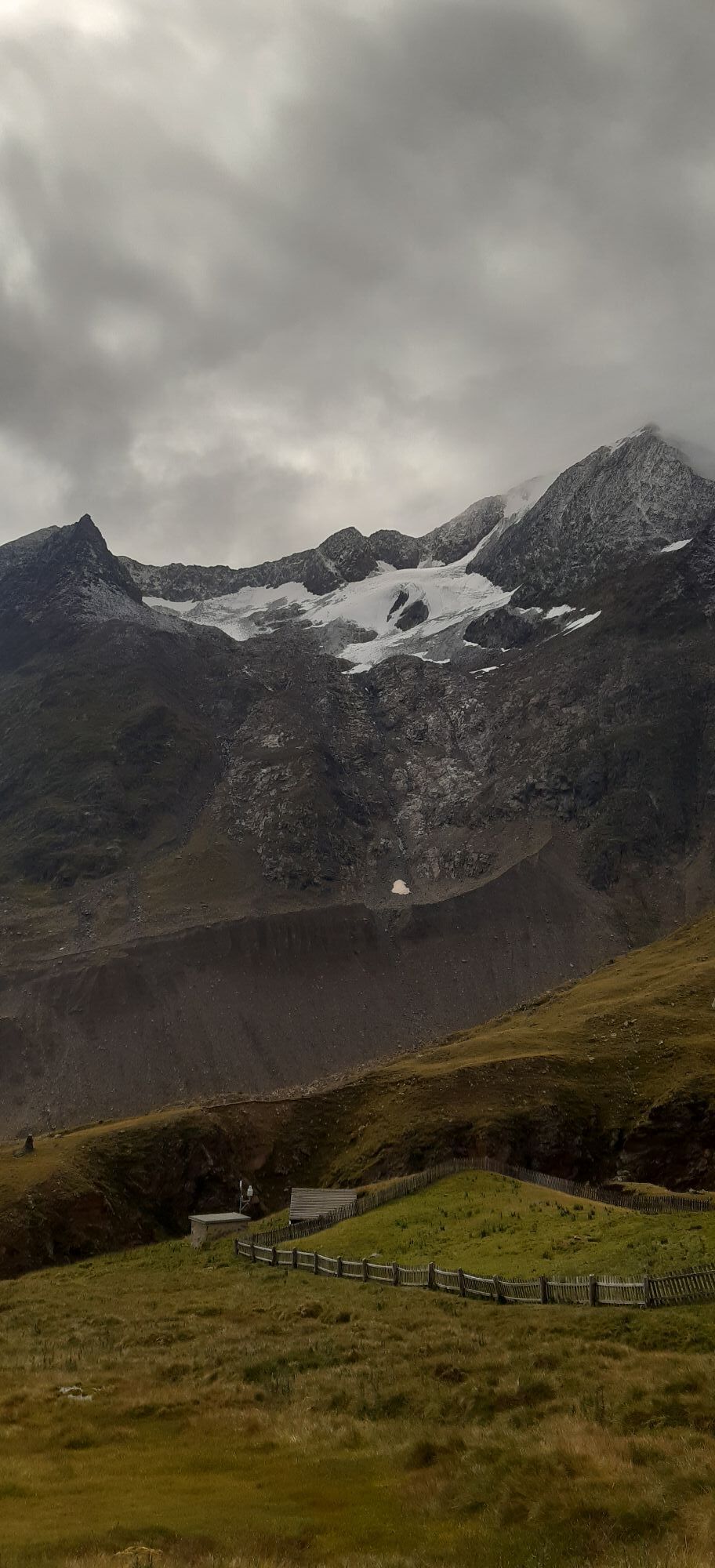
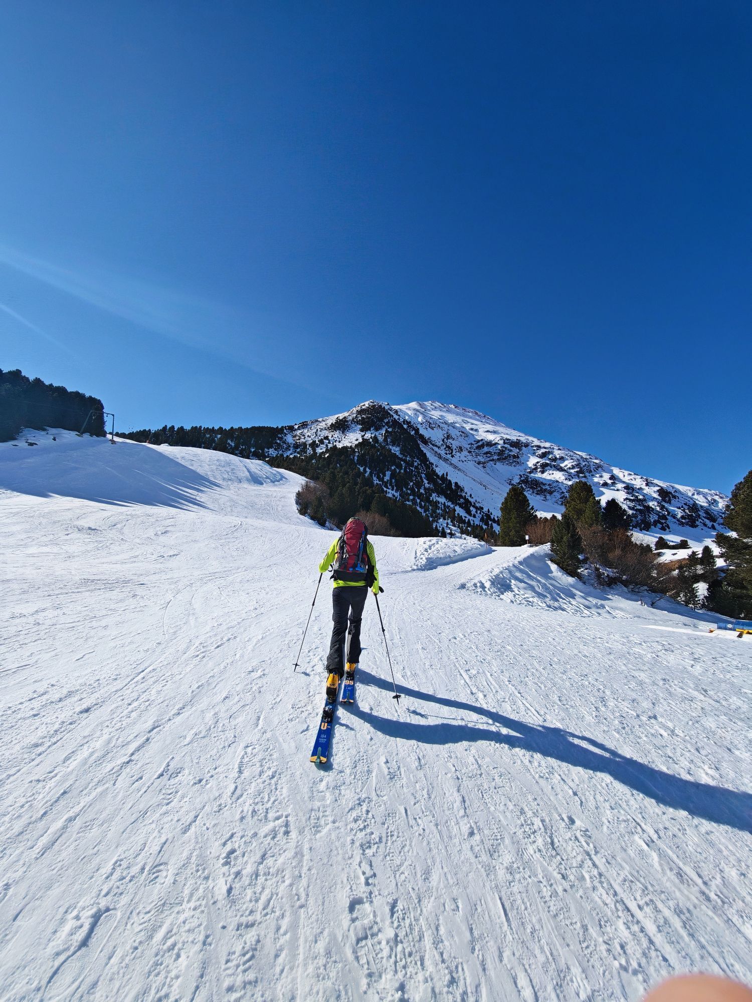
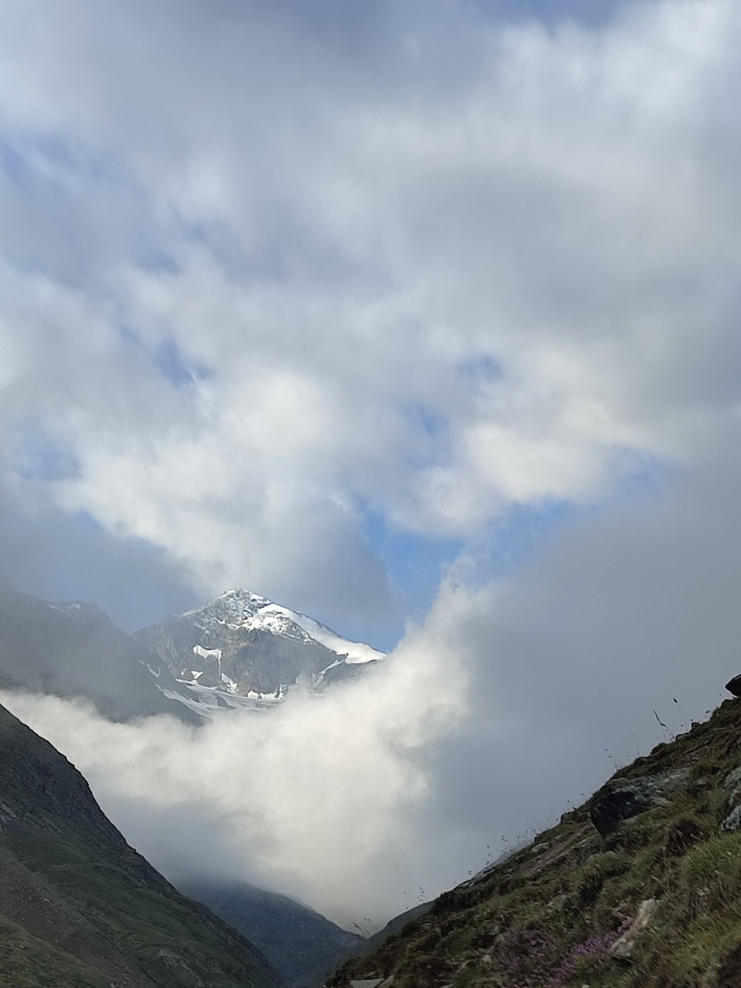
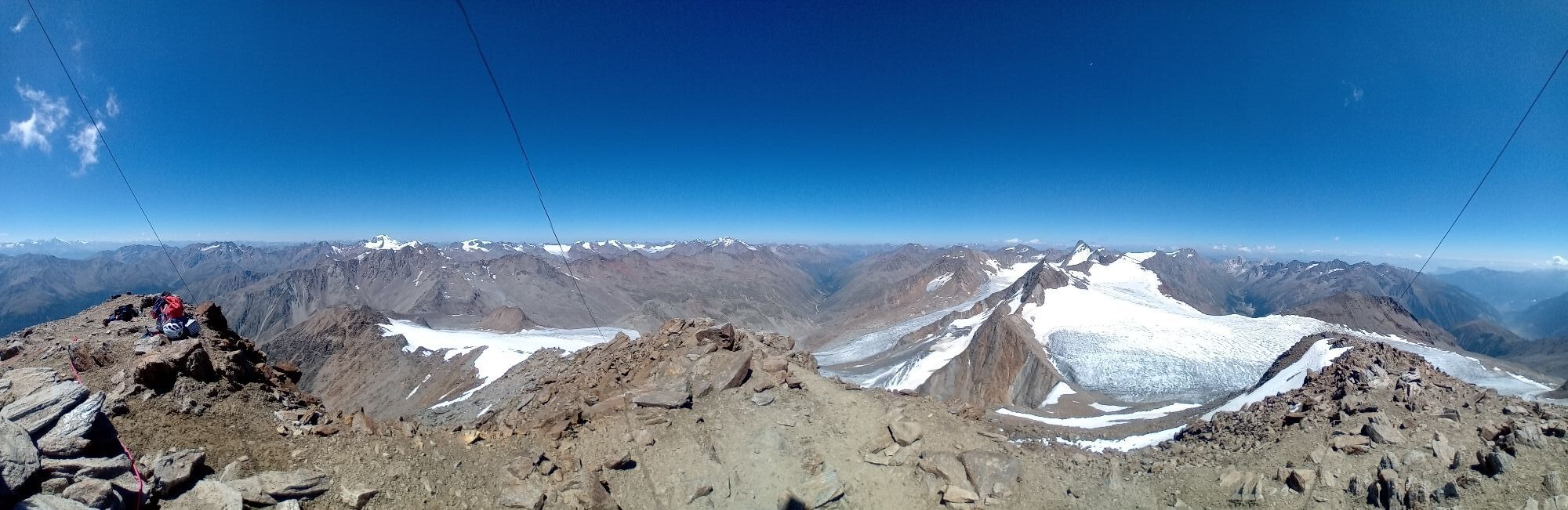
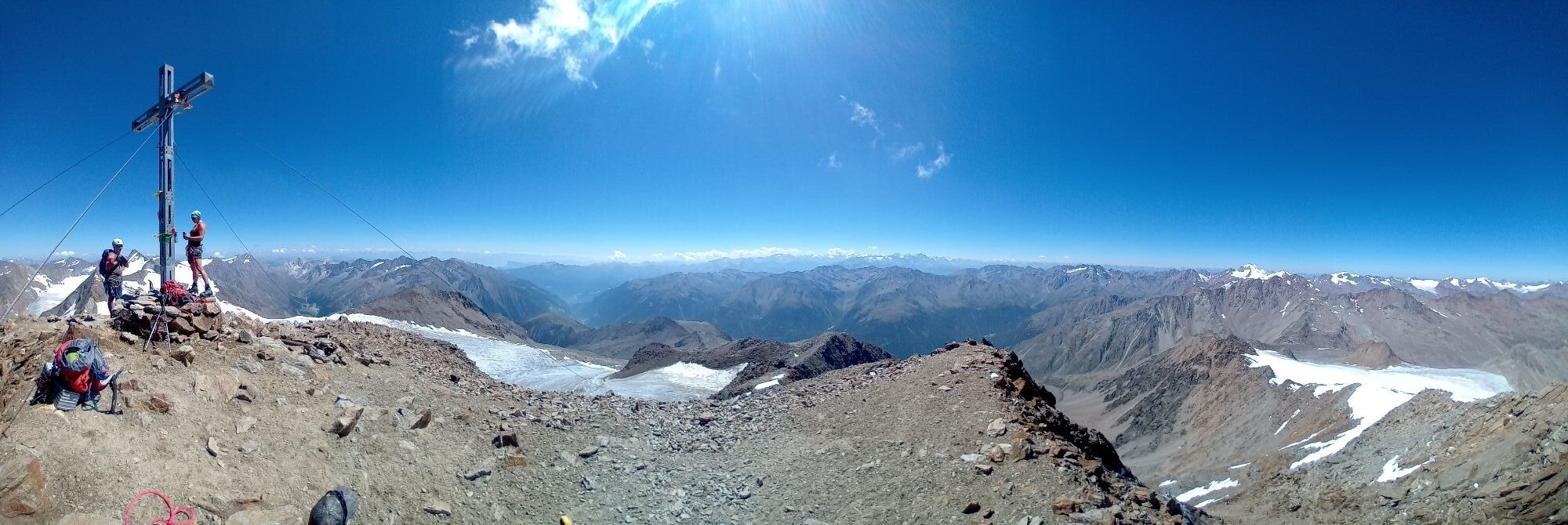
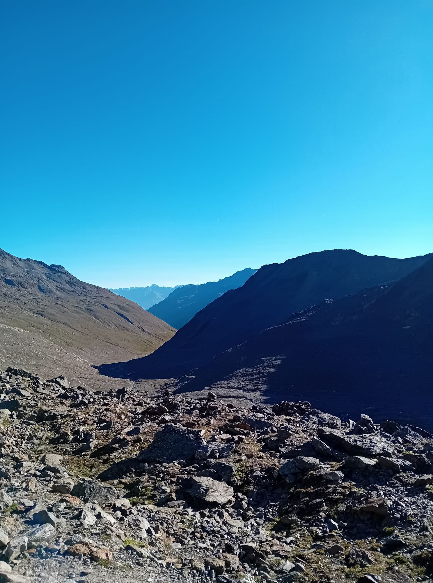
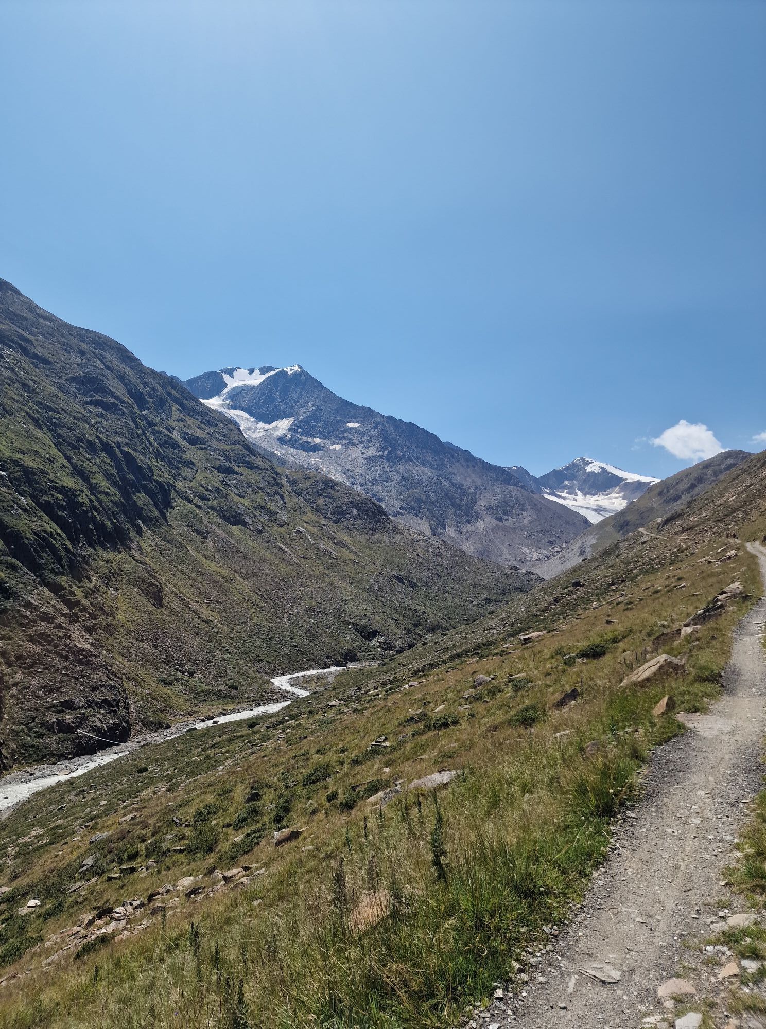
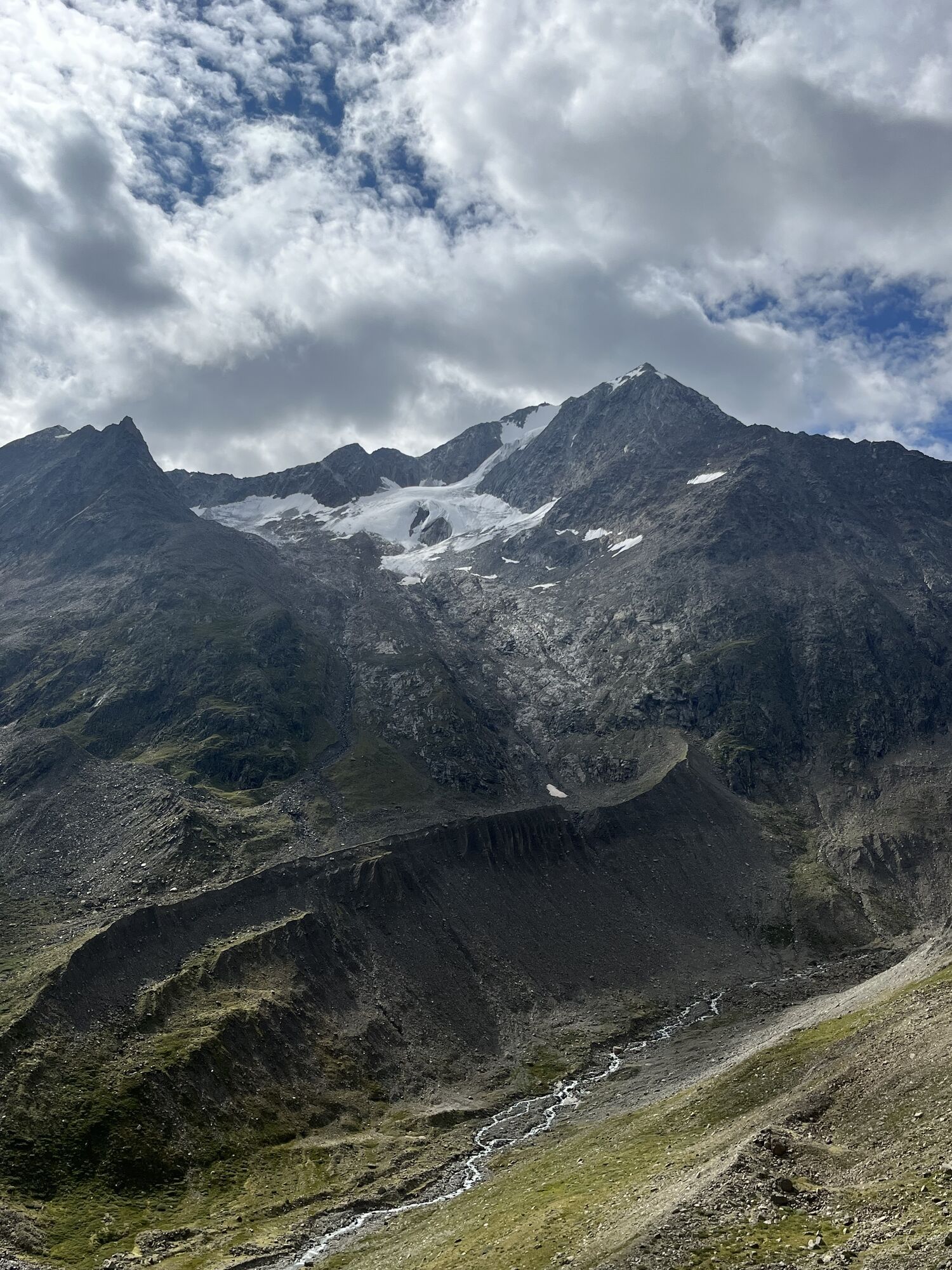
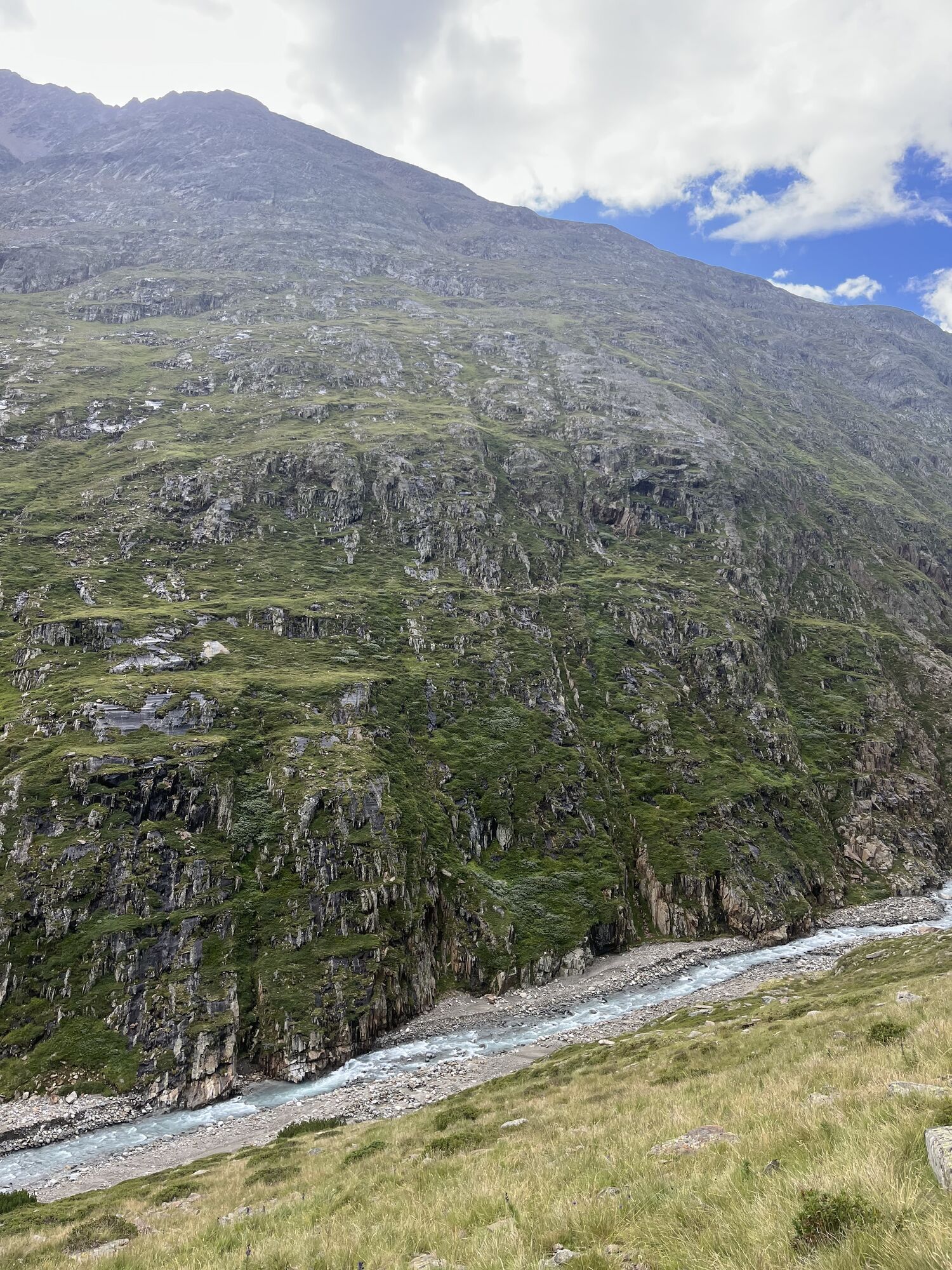
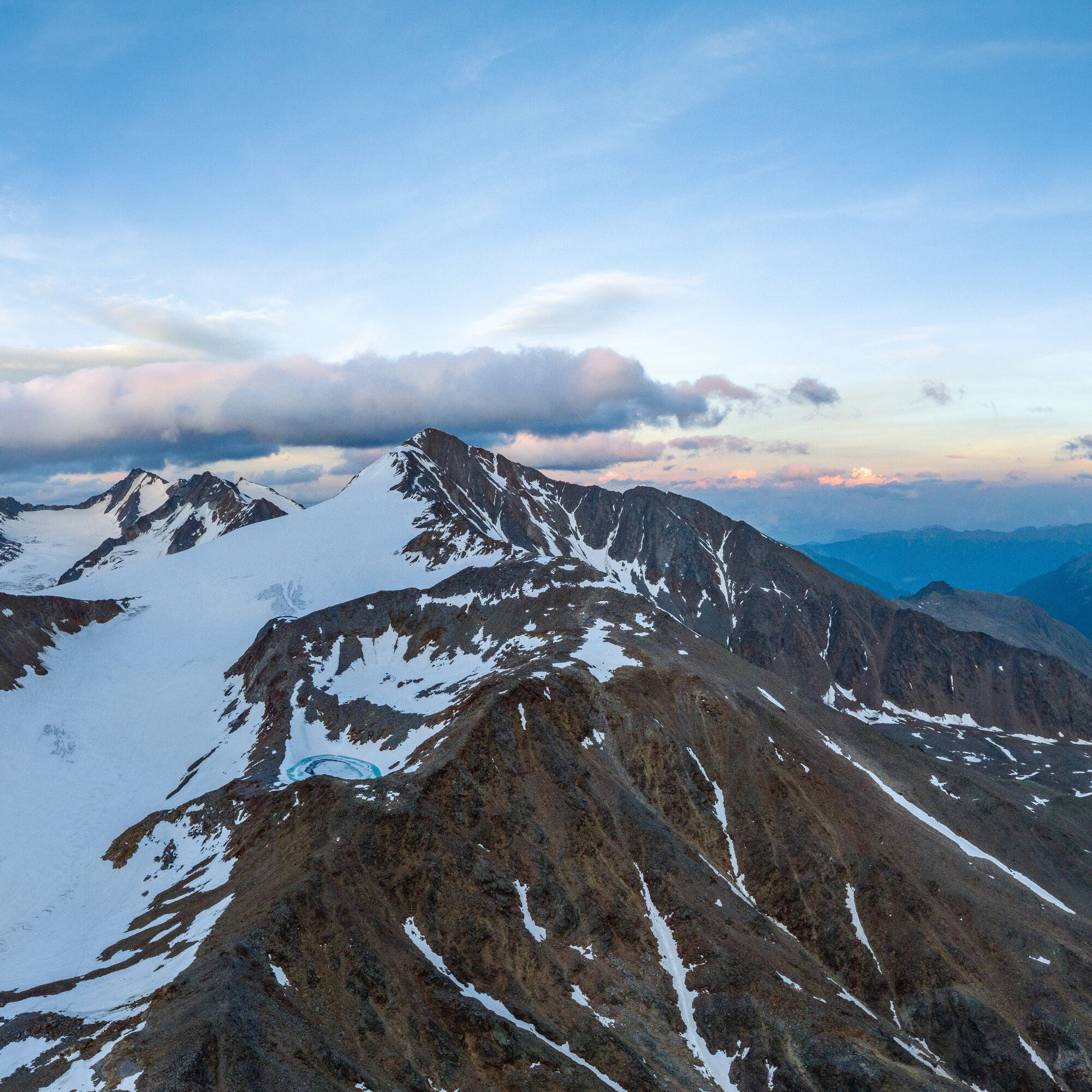
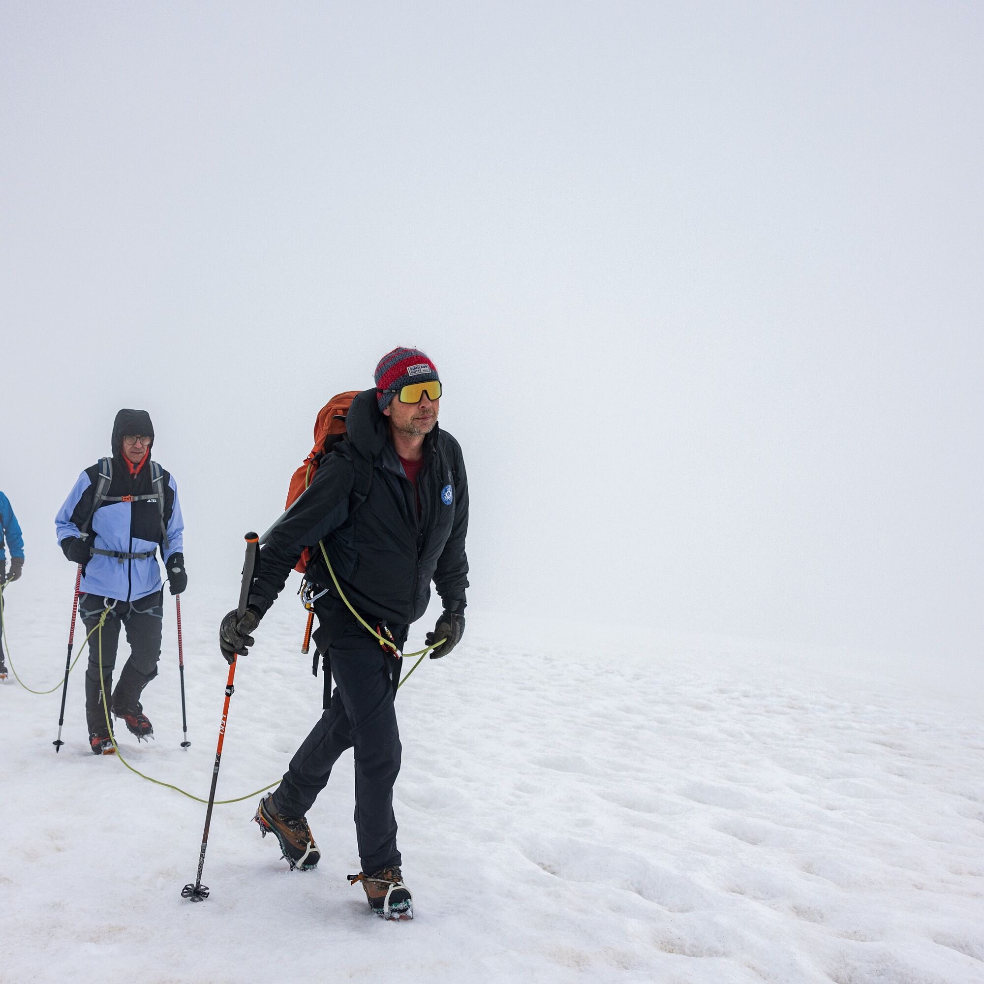
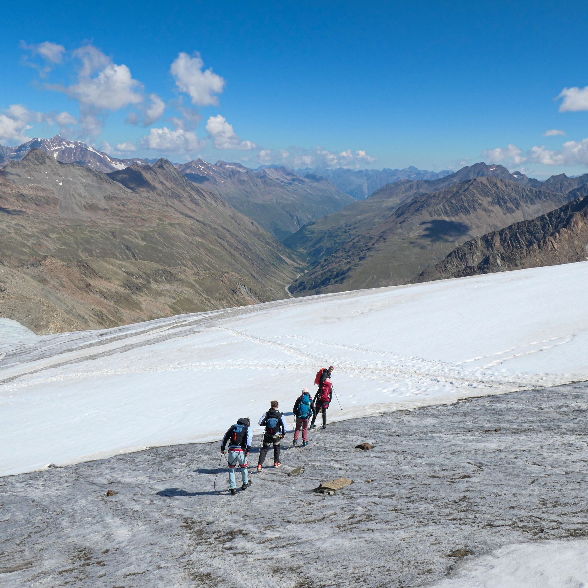
The Similaun peaks at an altitude of 3,606 meters and is thus not only one of the highest mountains of the Ötztal Alps, it is also listed as the eighth highest mountain in Austria. And although it is covered by glaciers to the north (Marzellferner), east and south (Grafferner), it is considered a suitable destination for first glacier tour experiences due to the technically easy ascent: naturally, only in the company of a mountain guide and with the appropriate equipment!
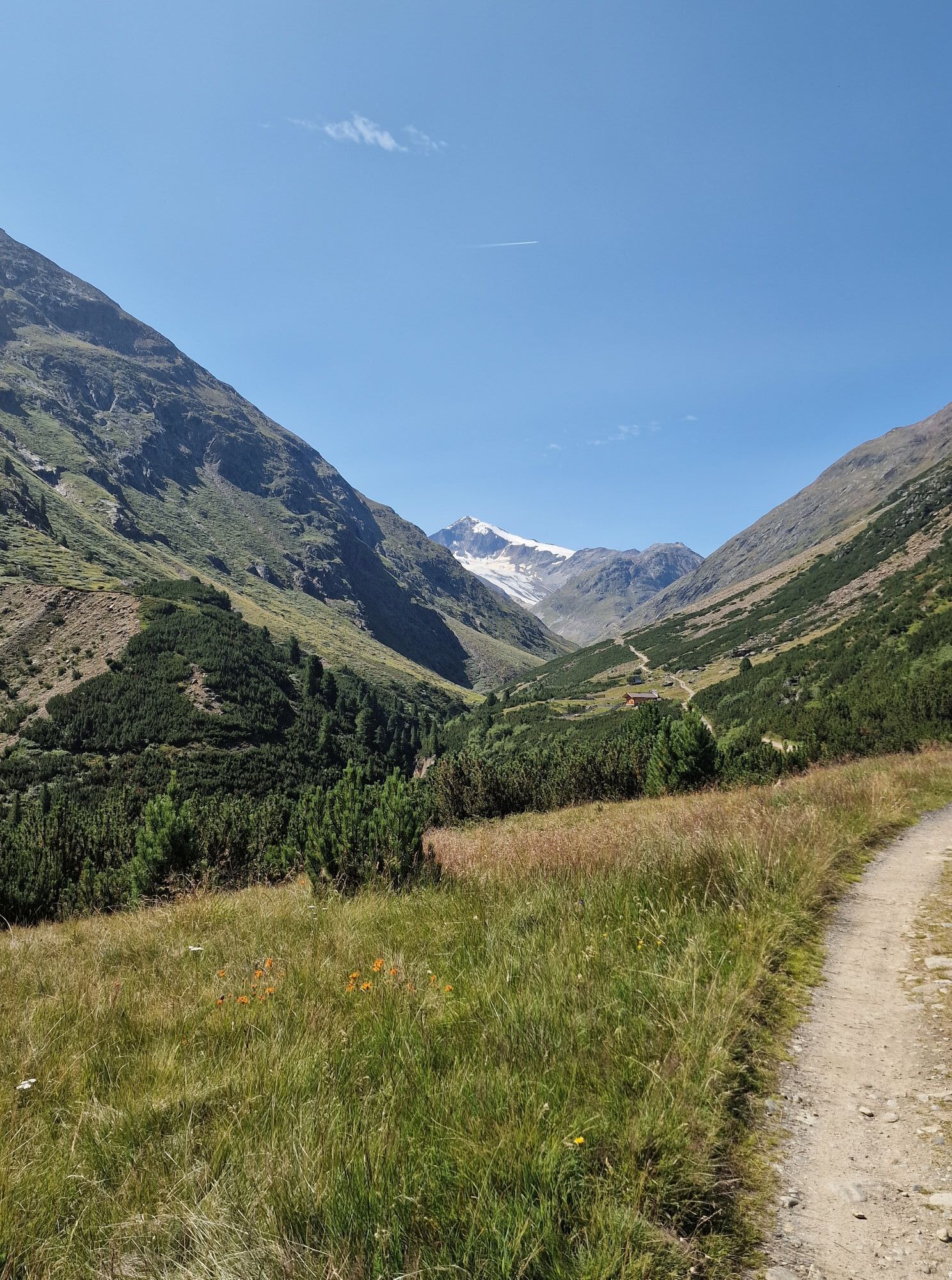
Located on the Italian-Austrian border, the striking three-thousander not only attracts beginners, but the magnificent view from the summit also continues to inspire professional mountaineers anew. In addition, its ancient paths intersect with the traces of a true celebrity. More than 30 years ago, the glacier mummy Ötzi, the "Man from the Ice," was found at the nearby Hauslabjoch. Visiting the discovery site, only 1.25 hours from the Similaun Hut, is almost a must for those in good condition.
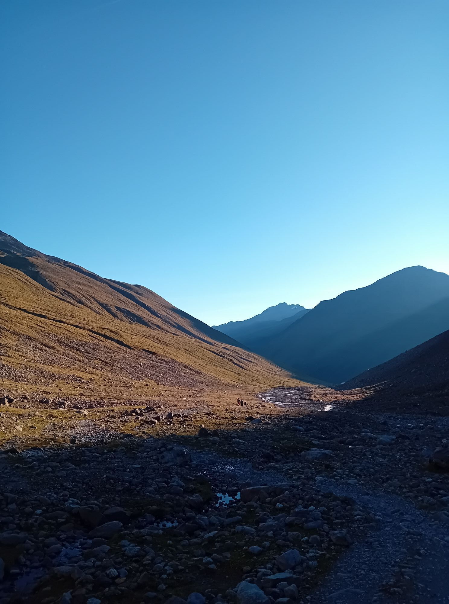
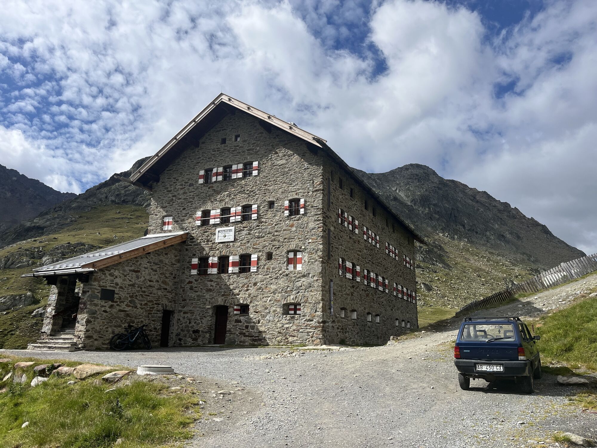
Note that sure-footedness and generally good physical condition are prerequisites for the distance-rich hike to the Similaun, but there are two base camps for a regenerative overnight stay or refreshment along the way: the Martin Busch Hut (2,501 m) and the Similaun Hut (3,019 m). Whether in full or in parts, the deserved "Berg Heil" at the summit against the backdrop of this magnificent panorama remains a precious memory forever.

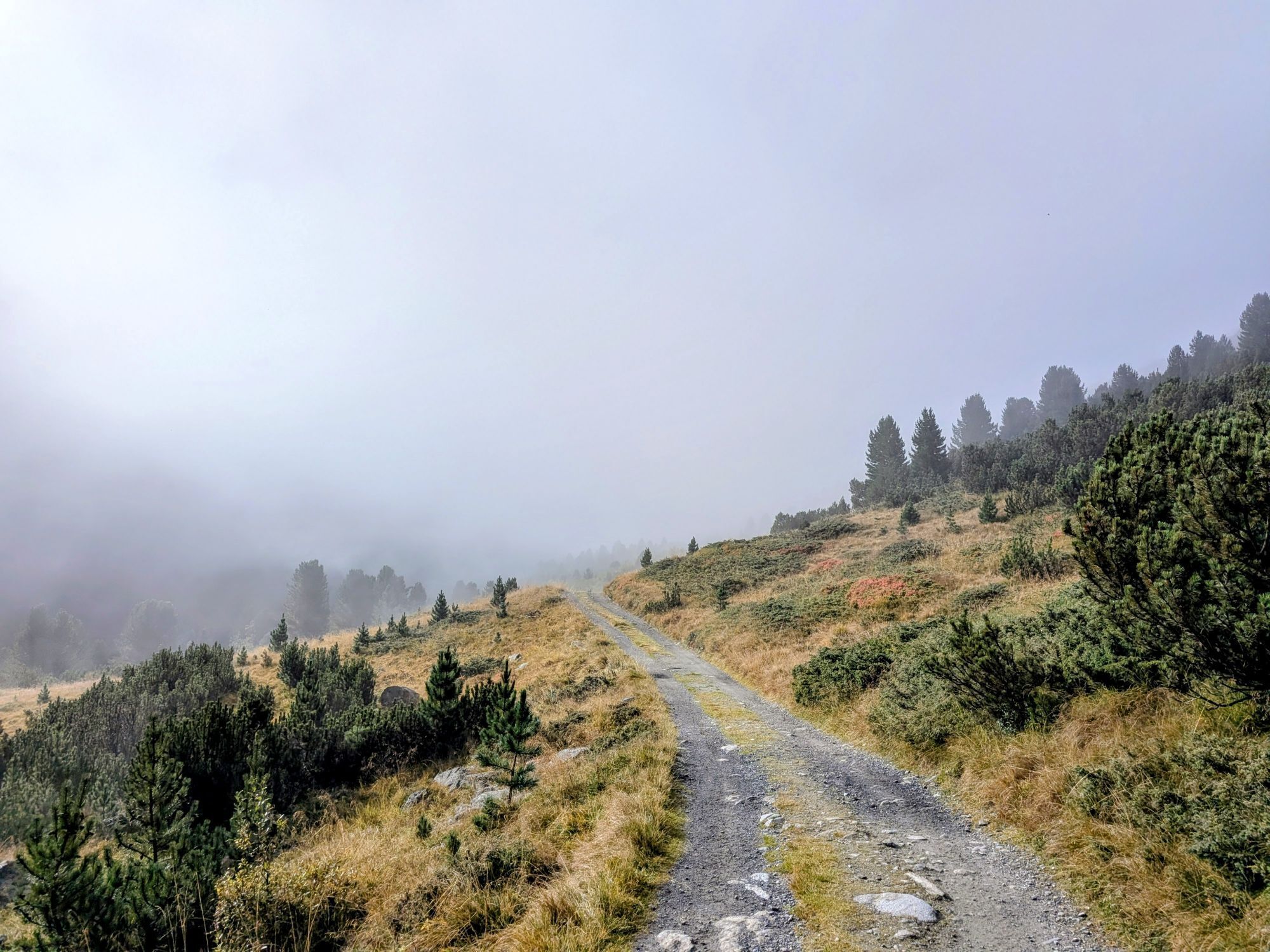
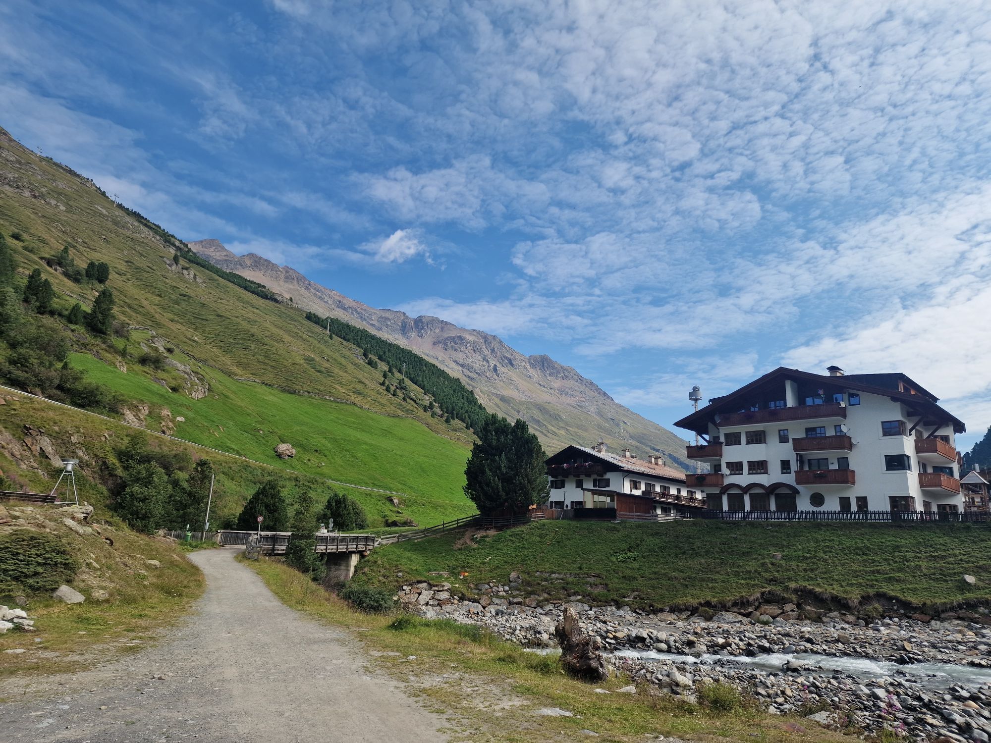
Vent - Martin Busch Hut
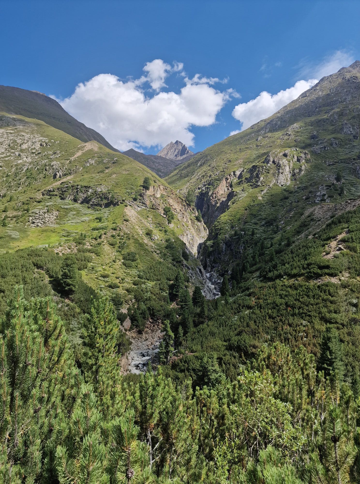
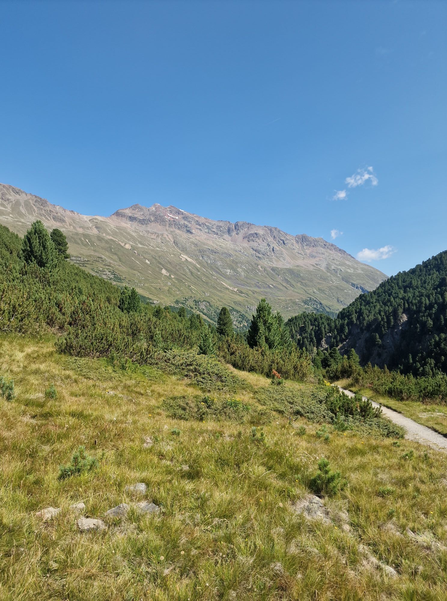
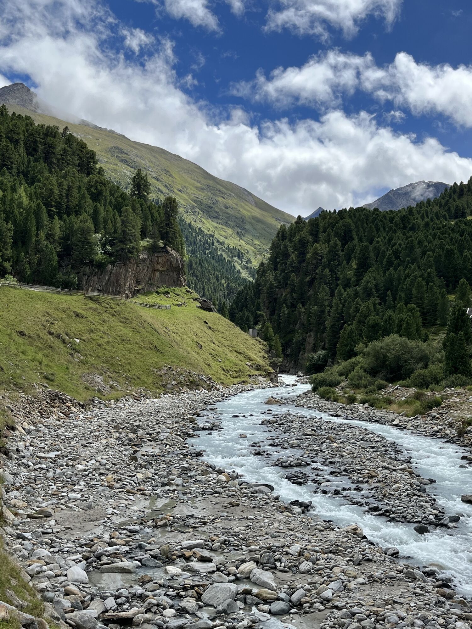
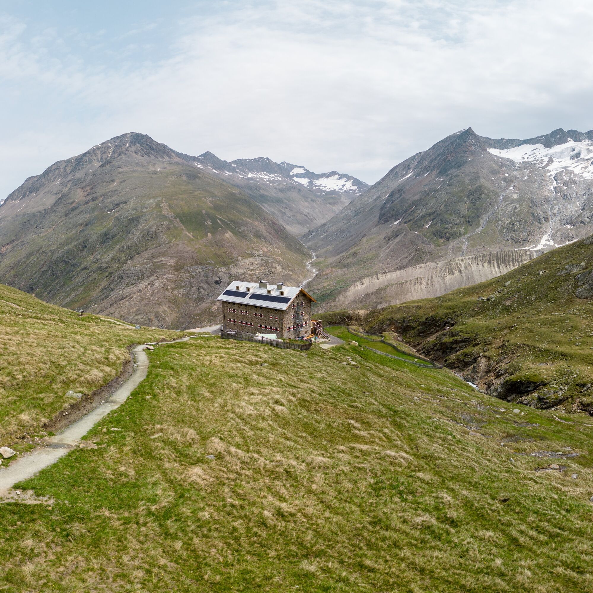
From Vent to the Ochsenkopf lift, continue following the rough forest road until it branches left into the Niedertal. Pass the Hohler Stein, following the signs to the Schäferhütte. Continue on the moderately ascending wide path to the Martin Busch Hut (2,501 m); walking time: 2 1/2 hours.
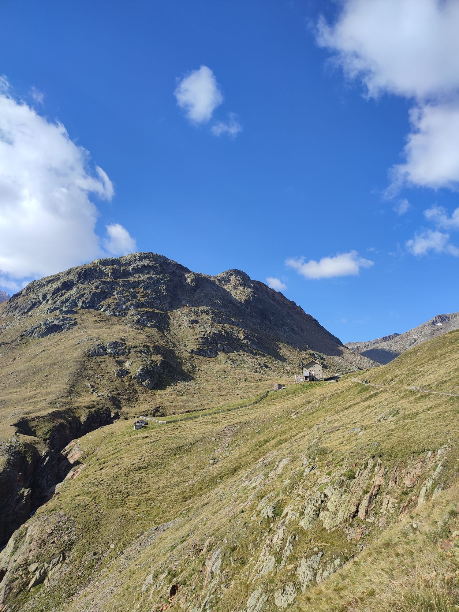
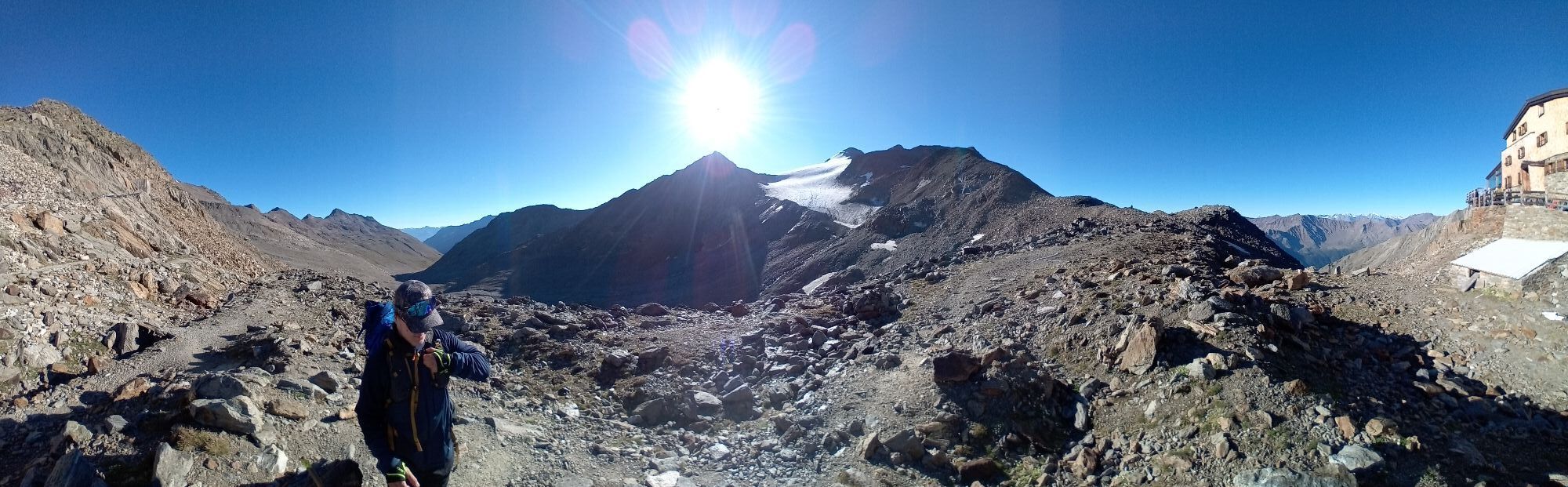
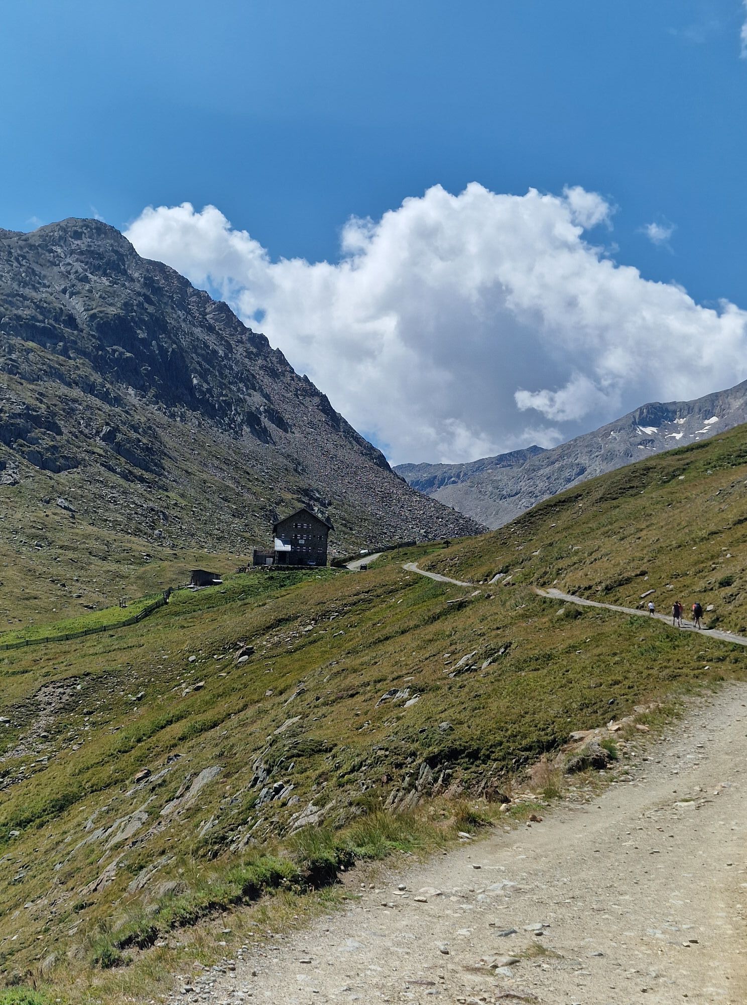
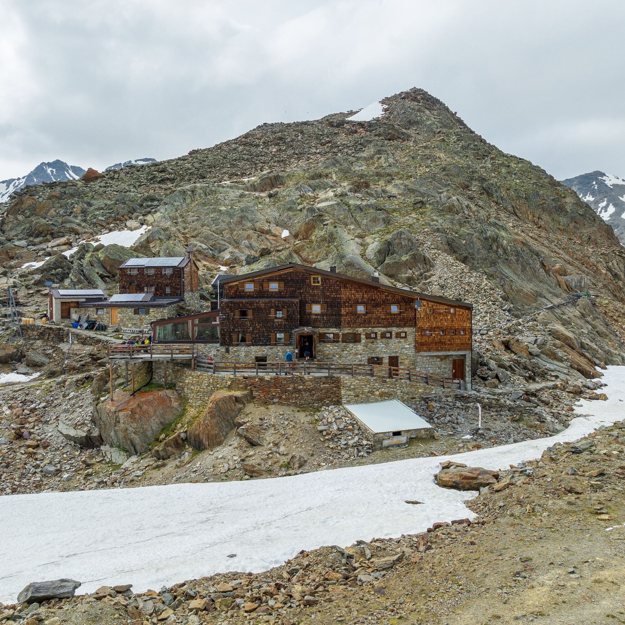
Martin Busch Hut - Similaun Hut
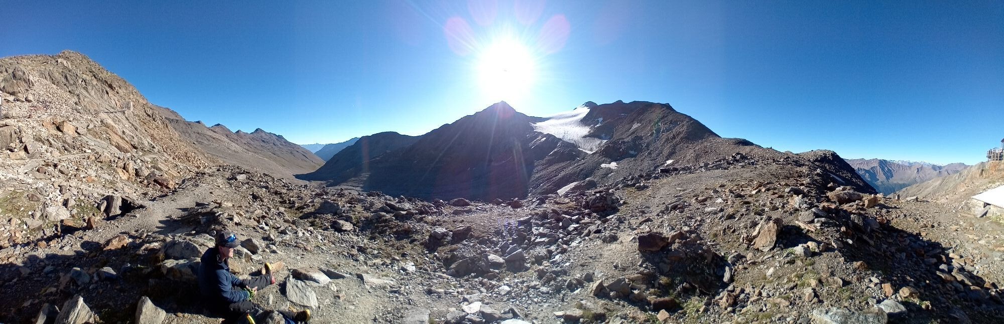
From the hut, first follow the signs to the Similaun Hut in a flat, southerly direction. After about 30 minutes, keep right to reach the Similaun Hut. The last 30 minutes of walking are over hairpin bends to the Similaun Hut (3,019 m); walking time: 2 hours.
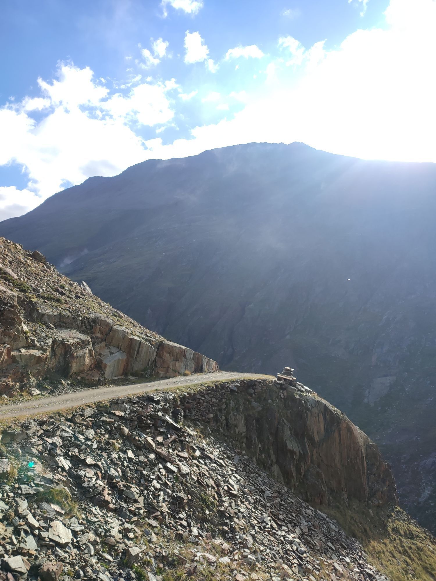
Similaun Hut - Similaun at 3,606 m
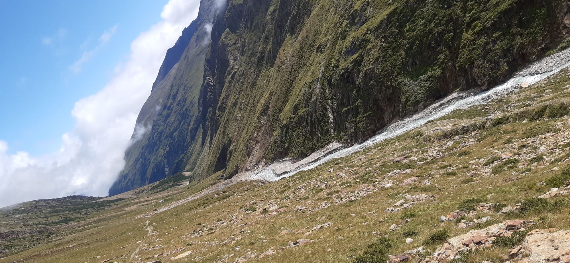
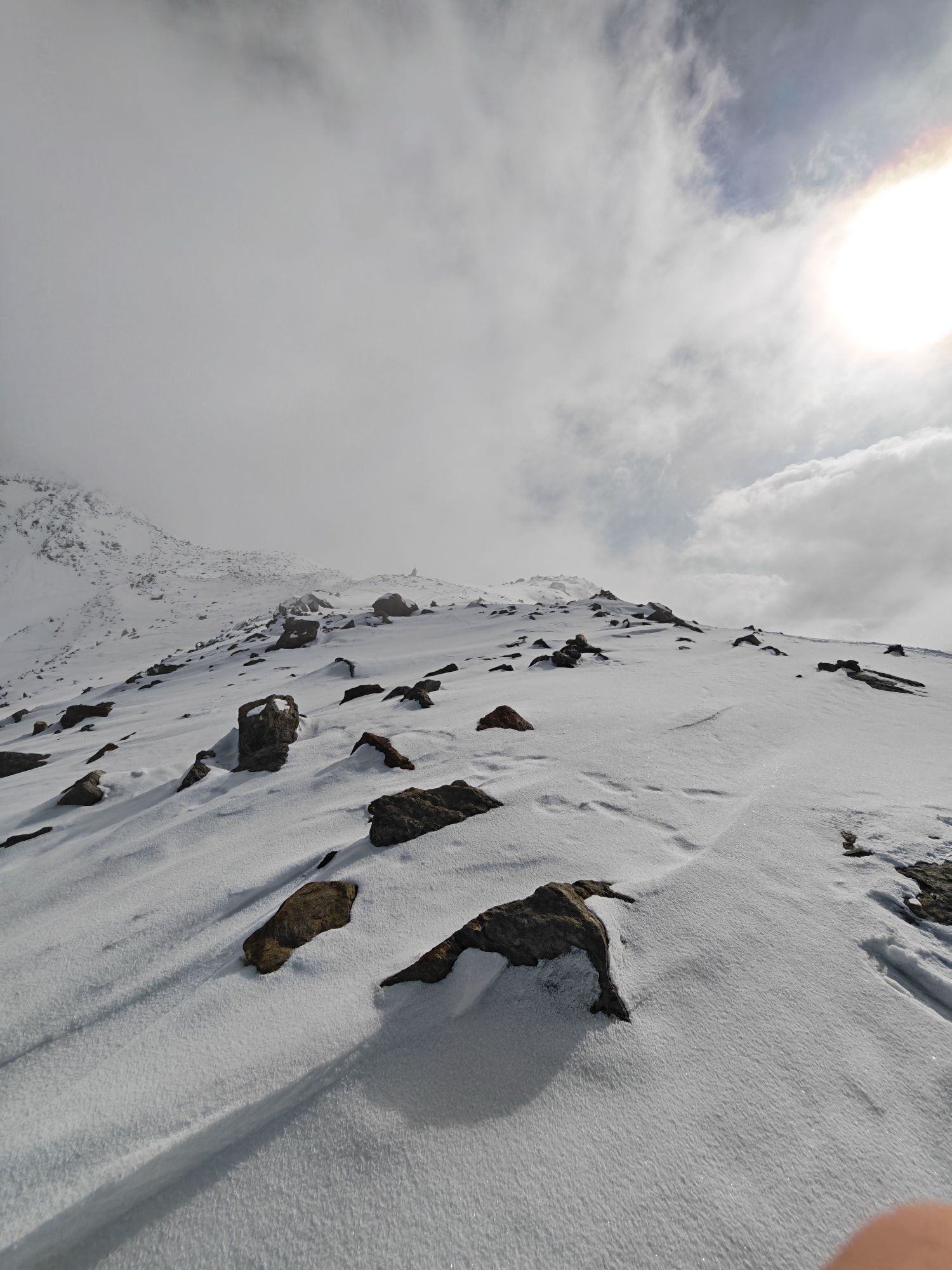
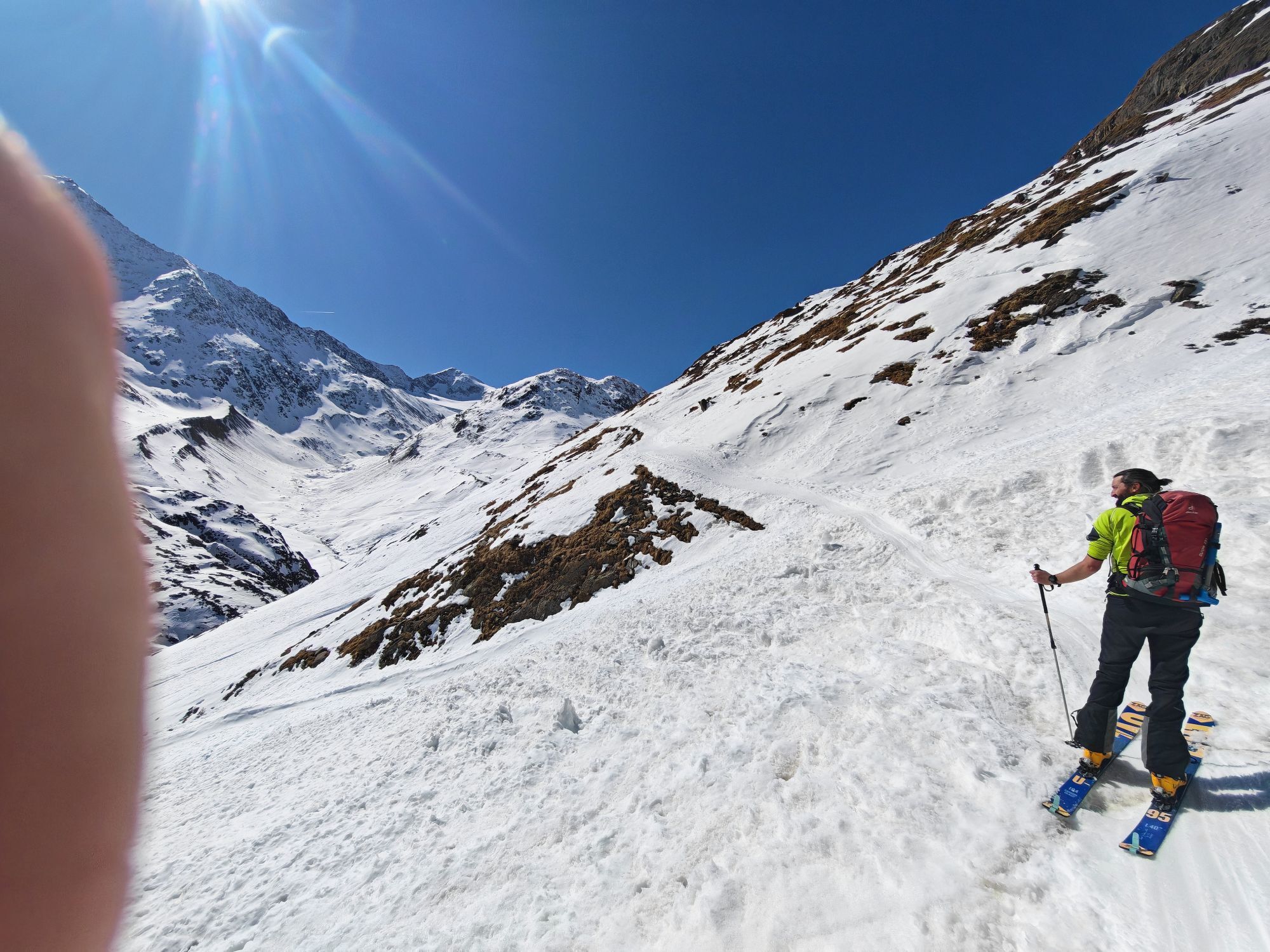
From the Similaun Hut, ascend in a south-west direction on the well-marked path towards Similaun to the Niederjochferner glacier. Continue following the gently ascending glacier until the somewhat steeper summit slope. Then continue either over firn or, in case of ice, better right over rocks to the ridge and over this, the last meters exposed, to the summit cross (3,606 m); walking time: 2 1/2 hours.
Similaun - Vent
Descent by the same route back to the Similaun Hut and via the Martin Busch Hut to Vent. Alternative descent turning right from the Niederjochferner to the Marzell ridge. Descend somewhat steeper over the ridge to the Martin Busch Hut and back to Vent (1,900 m); walking time: 5 1/2 hours.
Total distance
Ascent: from Vent to the summit approx. 7 - 7 1/2 hours walking time
Descent: from the summit to Vent approx. 5 1/2 hours walking time
Tak
Tak
Appropriate equipment such as breathable and weather-adapted outdoor clothing, ankle-high mountain boots, wind, rain and sun protection, hat and possibly gloves are required for all hikes and routes.
For glacier tours, it is essential to carry glacier equipment: rope, crampons, harness.
Carrying a first aid kit, a cellphone and possibly a hiking map, as well as sufficient provisions for hikes without a place to stop, is necessary.
For climbers who are free from vertigo, sure-footed and highly alpine experienced; excellent physical condition, extensive mountain experience, alpine climbing equipment, securing and orientation aids, good weather conditions recommended Please note the current weather report at: https://www.oetztal.com/de/sommer.html
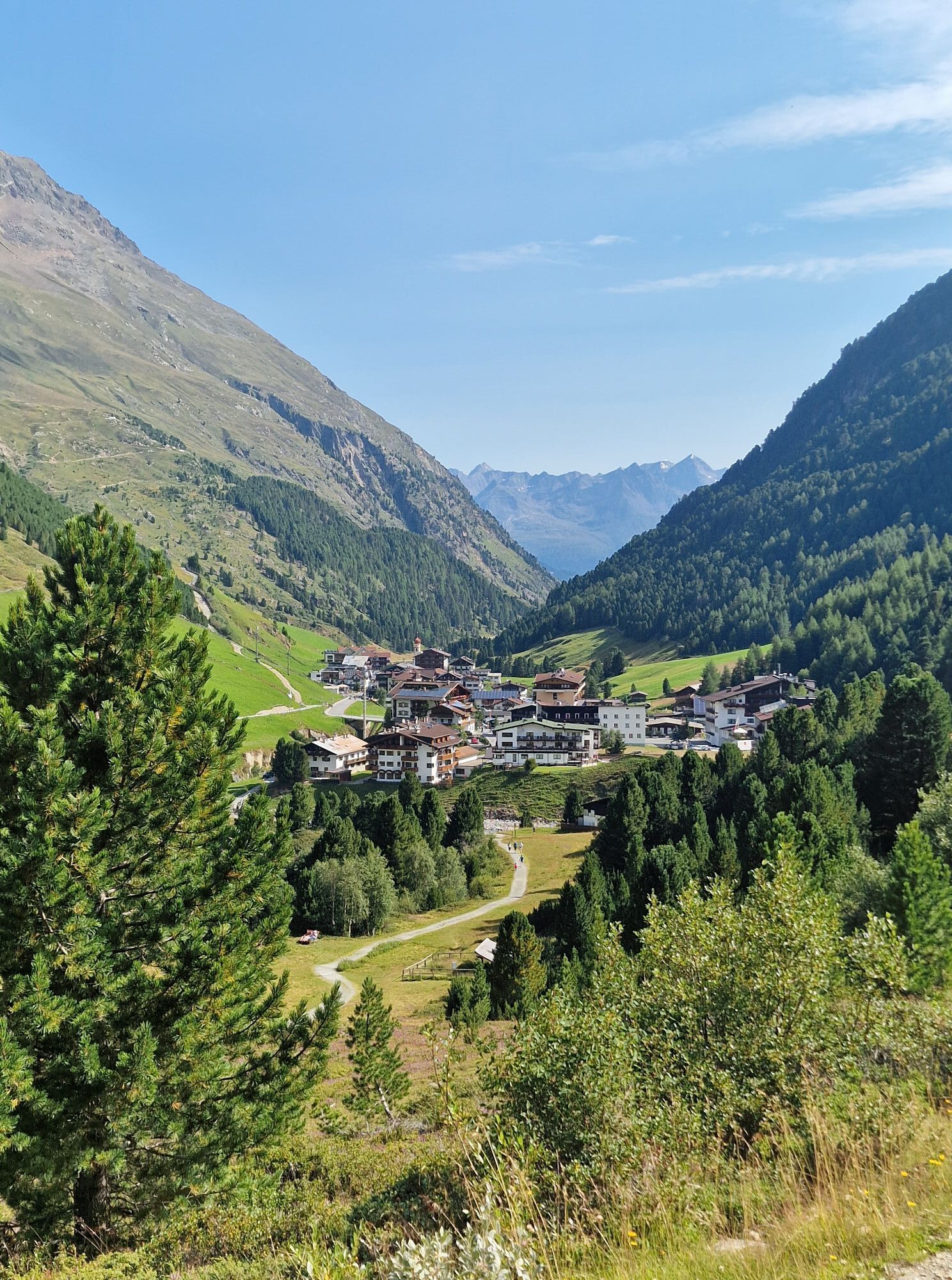
Vent is located in western Austria in the federal state of TIROL, in a southern side valley of the Inn valley - the ÖTZTAL. For your arrival by car, plan your optimal route from your home location with the route planner online: https://www.google.at/maps
Travel comfortably and safely by train to the Ötztal station. The final stop or exit point is the ÖTZTAL station. Afterwards, you can travel conveniently and quickly through the entire valley to your desired destination by public transport or local taxi companies! The current bus schedule is available at: http://fahrplan.vvt.at
In the mountaineering village Vent, the following parking options are available.
- In summer, in front of the village (parking meter, coins or EC card only) and at the valley station of the chairlift (at the ticket office of the mountain railways)
- In winter, only at the valley station of the chairlift
Fee-based!
More info about hiking in Ötztal: https://www.oetztal.com/wandern
Glacier equipment necessary. Recommended with mountain guide.
Reservation of hut sleeping places necessary!
Tip: Visit the Ötzi discovery site, 1 1/4 hours from the Similaun Hut.


Popularne wycieczki w okolicy
- 4,3
Vorderkaser - Eishof / Texelgruppe
światłoWędrówka 4,83 km - 4,8
Vent - Kreuzspitze
Wędrówka 20,6 km - 4,4
Hochtour Wildspitze, 3.768m
średniWycieczka wysokogórska 9,75 km - 4,1
Vernagt-Stausee (Seerundgang)
światłoWędrówka 6,70 km - 4,2
Rundweg Vernagter See plus Einkehr Finailhof
średniWędrówka 8,73 km - 3,1
Tiefenbachglacier - Mountaineering Village Vent
średniWędrówka 10,8 km - 4,5
Vent - Wilder Mann - Breslauer Hütte - Stableinalm
średniWędrówka 7,25 km - 4,9
Pfossental - vom Vorderkaser auf die Stettinerhütte
średniWędrówka 23,7 km - 5,0
Kurzras - Schöne Aussicht - ins hintere Eis
średniWędrówka 13,0 km - 4,4
Hochwilde - Pfelders
średniWycieczka wysokogórska 22,1 km

Wędrówki i tropienie


Nie przegap ofert i inspiracji na następne wakacje
Twój adres e-mail została dodana do listy mailingowej.