



From the ‘Schöne Aussicht’ to Roaner Alm

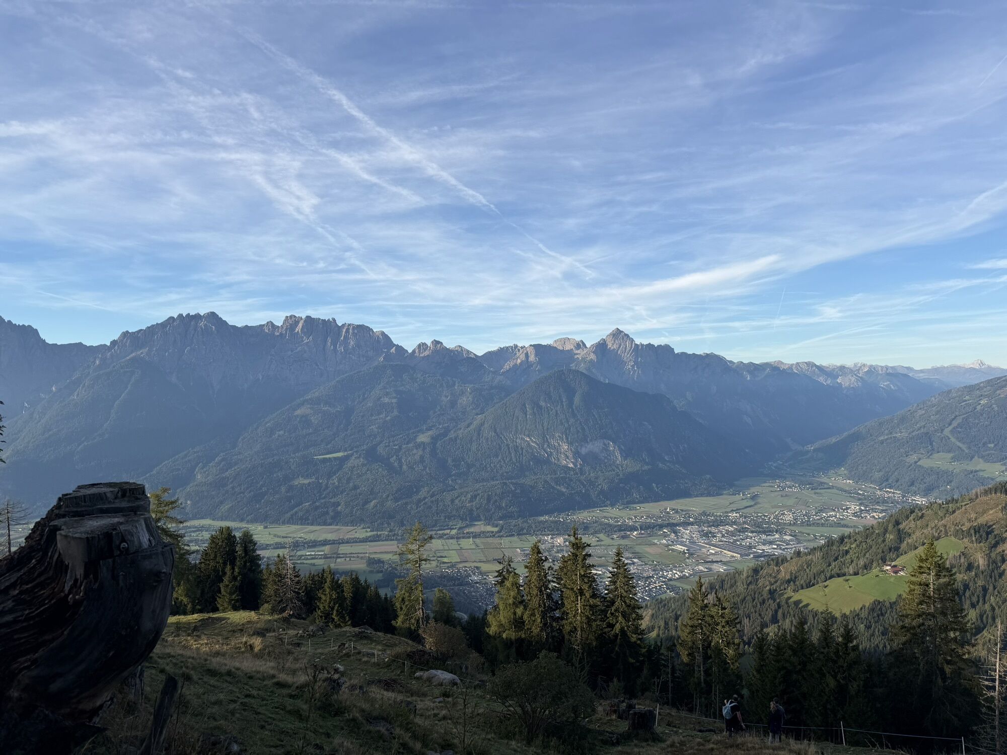


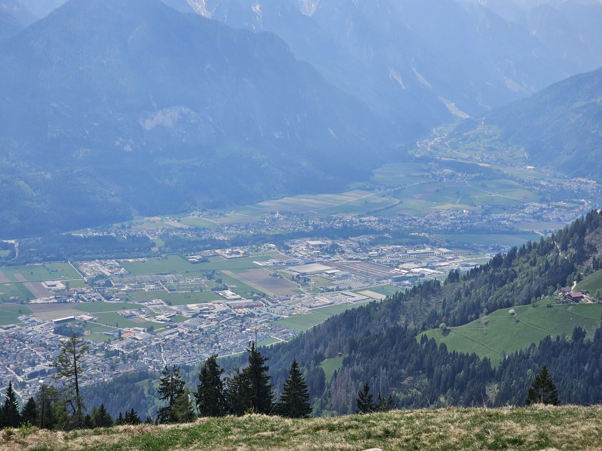

The popular hiking route starts at the car park right next to the "Schöne Aussicht" inn. With a pleasant ascent, the route first proceeds on a slight bend along the south-east slope to Carinthia. After...


Basic equipment for mountain hiking includes sturdyâ¯hikingâ¯boots with a good tread, a 30-35 liter backpack, and functional clothing based on the layering principle, including sufficient spare clothes. Essential items are rain, cold, and sun protection, adequate fluids and food, as well as a first-aid kit and a charged mobile phone. A map or a GPS device supports orientation.
The information serves as a guideline and does not claim to be exhaustive. Equipment must always be adapted to theâ¯planned route, weather conditions, season, natural hazards, environmental influences, and personal needs.
Kamery internetowe z trasy


Popularne wycieczki w okolicy
-
4,9
Wangennitzsee Hütte
średniWędrówka 3,80 km -
4,7
Karlsbader Hütte über Rudl-Eller-Weg
ciężkiWędrówka 5,10 km -
5,0
Ederplan round from the parking lot Stronach
średniWędrówka 7,19 km -
4,9
Astental: Mohar, Moharkreuz
średniWędrówka 9 km -
4,8
Lienzer Dolomiten-Lasertörl
średniWędrówka 13,2 km -
4,7
Glödis 3206m: PP Seichenbrunn, Lienzer Hütte, Glödis KS A/B
ciężkiWycieczka wysokogórska 16,1 km -
4,7
Karlsbader Hütte
średniMountainbike 13,4 km -
4,8
Lienzer Hütte
światłoWędrówka 7,39 km -
4,8
Klammbrückl - Kerschbaumeralm - Spitzkofel
ciężkiWędrówka 8,71 km -
4,2
Gradental to Adolf Nossberger Hut - circular route
średniWędrówka 11,1 km
Wędrówki i tropienie


Nie przegap ofert i inspiracji na następne wakacje
Twój adres e-mail została dodana do listy mailingowej.


