







Lourdes Chapel Run – a moderately difficult circular walk in Wattens, Tyrol

Moderately difficult circular route with beautiful views of the Kellerjoch and the surrounding mountain scenery.

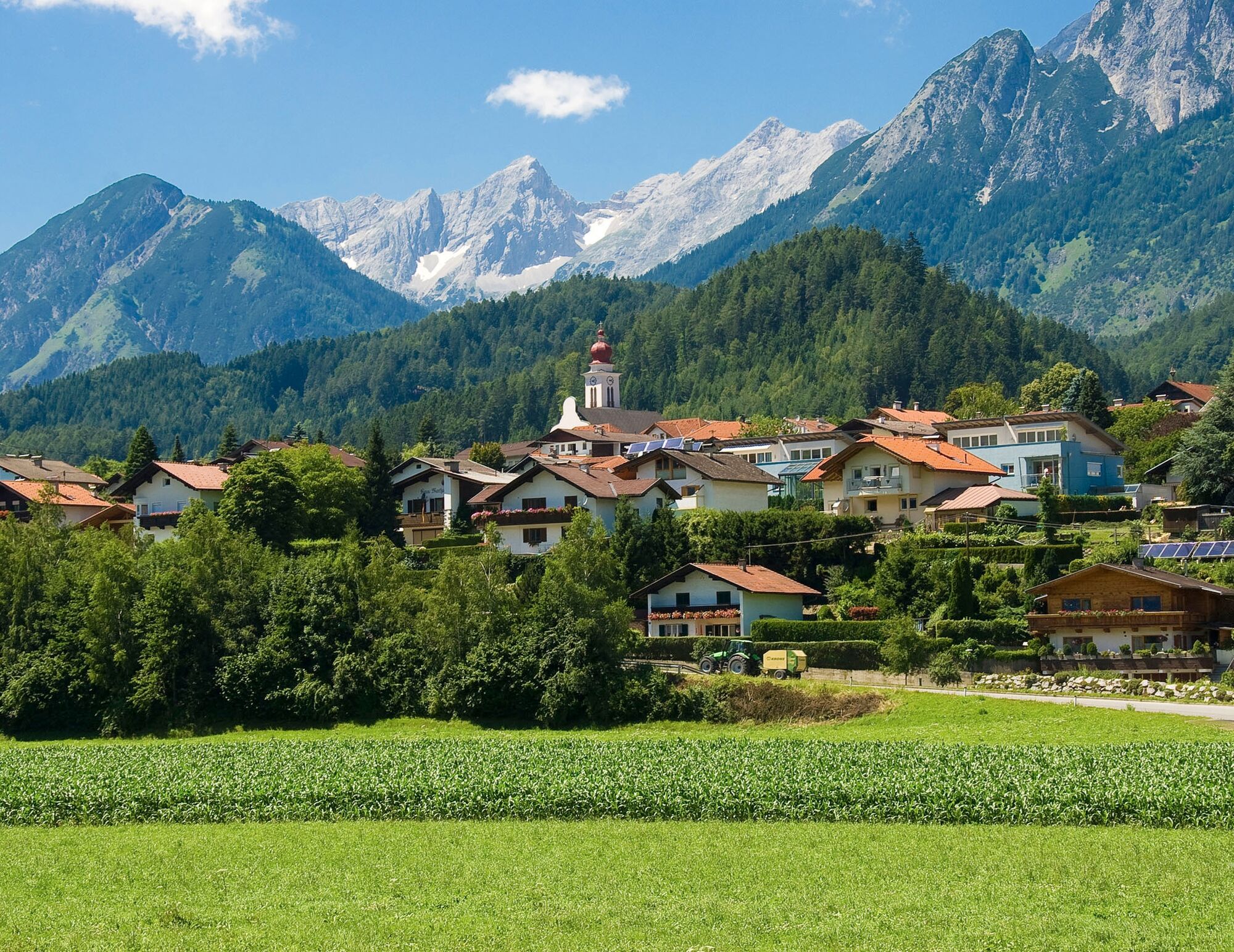

From the swimming pool parking lot, you first cross Wattens to run or walk on a beautiful gravel path above the Brandhof to the lovingly maintained Lourdes Chapel.
Shortly before Kolsass, the route crosses the federal road and leads across the fields towards Wattens. There, you take the bike path to finally return to the starting point in Wattens.
Magnificent views and the interesting route make this running and Nordic walking route a great experience.
From Germany: Border crossing Kiefersfelden - Kufstein - about 65 km to Wattens via highway A 12 - exit 61-Wattens - take the first exit at the roundabout - turn right onto Doktor Karl-Stainer Straße
From Italy: Border crossing Brenner to Innsbruck - about 20 km to Wattens via highway A 12 - exit 61-Wattens - take the first exit at the roundabout - turn right onto Doktor Karl-Stainer Straße
From Switzerland : Landeck - highway to Hall approx. 90 km -> exit 61-Wattens - take the first exit at the roundabout - turn right onto Doktor Karl-Stainer Straße
It is possible to reach the town center of Wattens by "Line 456" from Hall i. T. or Innsbruck.
From there, it is about a 15-minute walk to the starting point.
Further information at:
www.vvt.at
There are parking facilities directly at the starting point.
Uzyskaj wgląd
Zawsze na żywo z ponad 9 500 kamer internetowych. bergfex Jako użytkownik Pro, możesz teraz zobaczyć odpowiednie kamery internetowe dla wielu wycieczek w aplikacji wycieczki od. Pozwala to na bezpośredni podgląd aktualnych warunków.

Popularne wycieczki w okolicy
-
4,6
Halltal - Bettelwurfhütte - Kleiner und Großer Bettelwurf
ciężkiWycieczka wysokogórska 16,2 km -
5,0
Loassattel - Kuhmesser - Kellerjoch - Kellerjoch Kapelle - Hochebenweg - Loassattel
średniWędrówka 8,70 km -
4,6
Hinterriss - Eng - Falkenhütte
średniWędrówka 6,88 km -
4,8
Felix-Kuen via ferrata on the Hundskopf
ciężkiVia ferrata 2,18 km -
4,7
3 Almen Karwendelrunde MTB Route 408
ciężkiMountainbike 23,8 km -
3,6
Wolfsklamm-Stans
średniWędrówka 2,66 km -
4,6
To the scenic Hochmahdkopf
średniWędrówka 8,31 km -
4,7
Hochfügen, Vier-Almen-Tour, Tirol/Österreich
światłoWędrówka 7,82 km -
4,6
Wolfsklamm über Maria Tax
średniWędrówka 5,50 km -
4,6
Rundwanderung zum Bärenkopf
średniWędrówka 16,2 km
Wędrówki i tropienie


Nie przegap ofert i inspiracji na następne wakacje
Twój adres e-mail została dodana do listy mailingowej.





