


635 Alte Niederthaier Straße
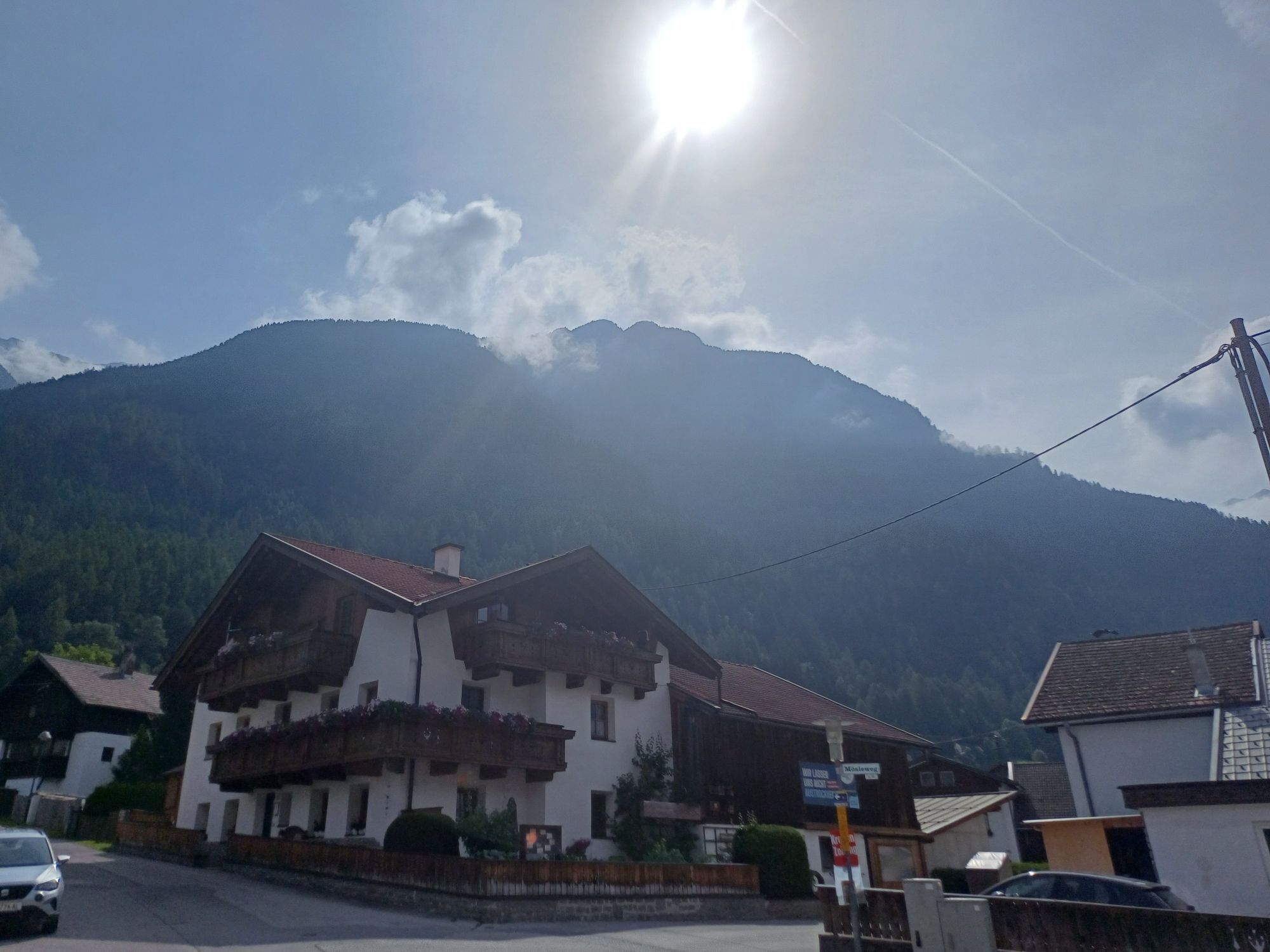
This route starts in Umhausen at the Mure parking lot (village center). From the starting point, you first ride up the slightly ascending Roßlachgasse until you reach the signpost "Umhauser Höhenweg"....
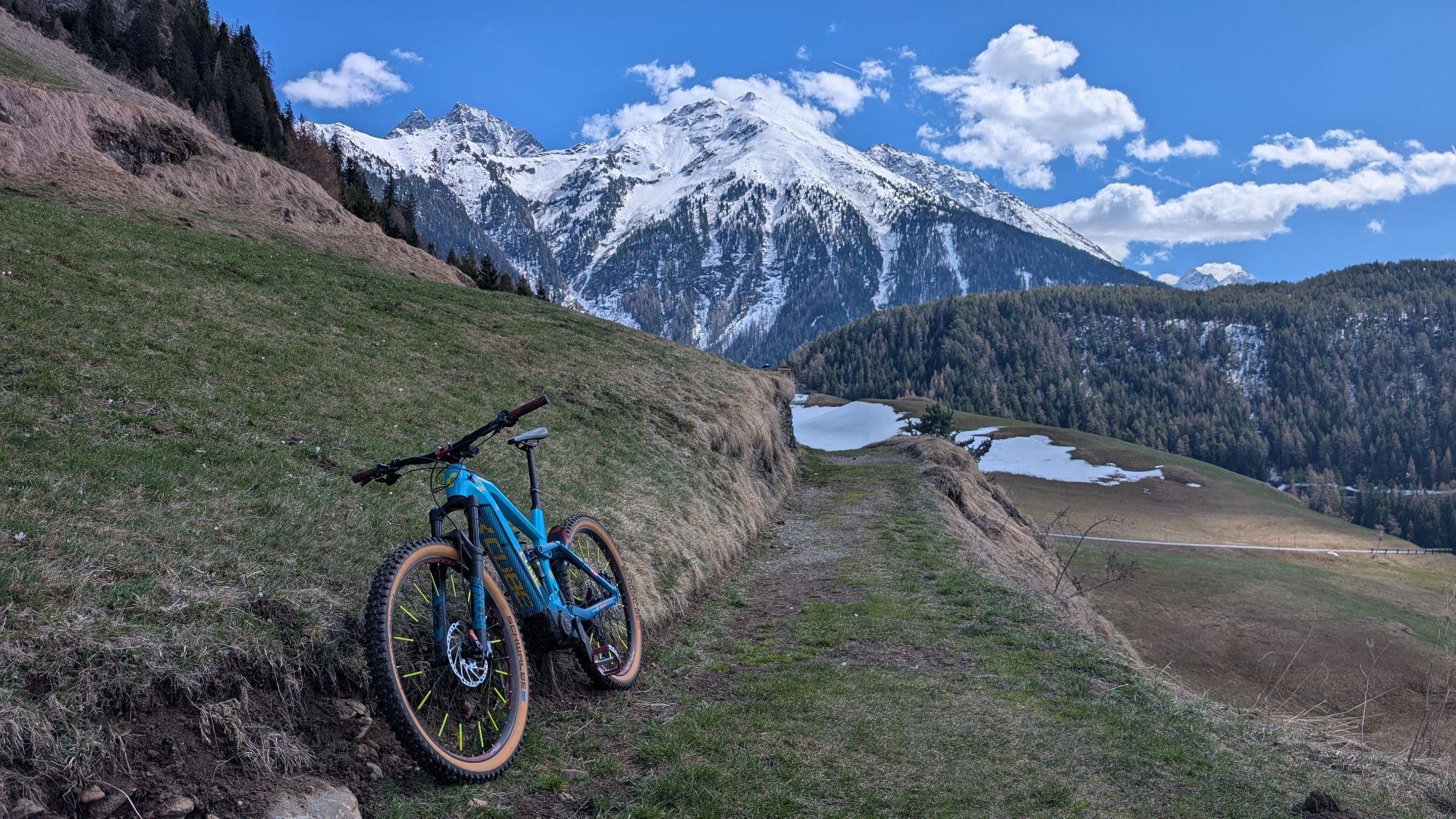
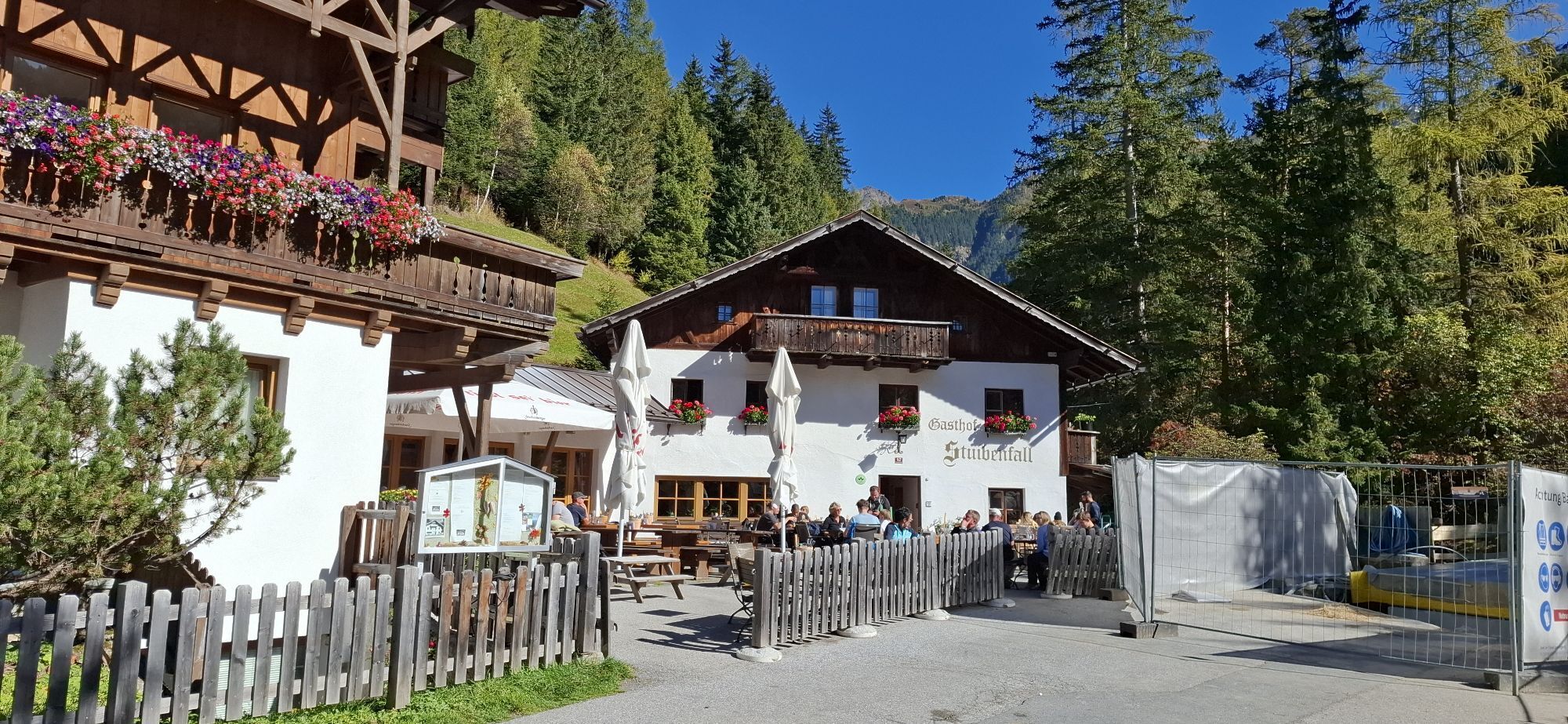
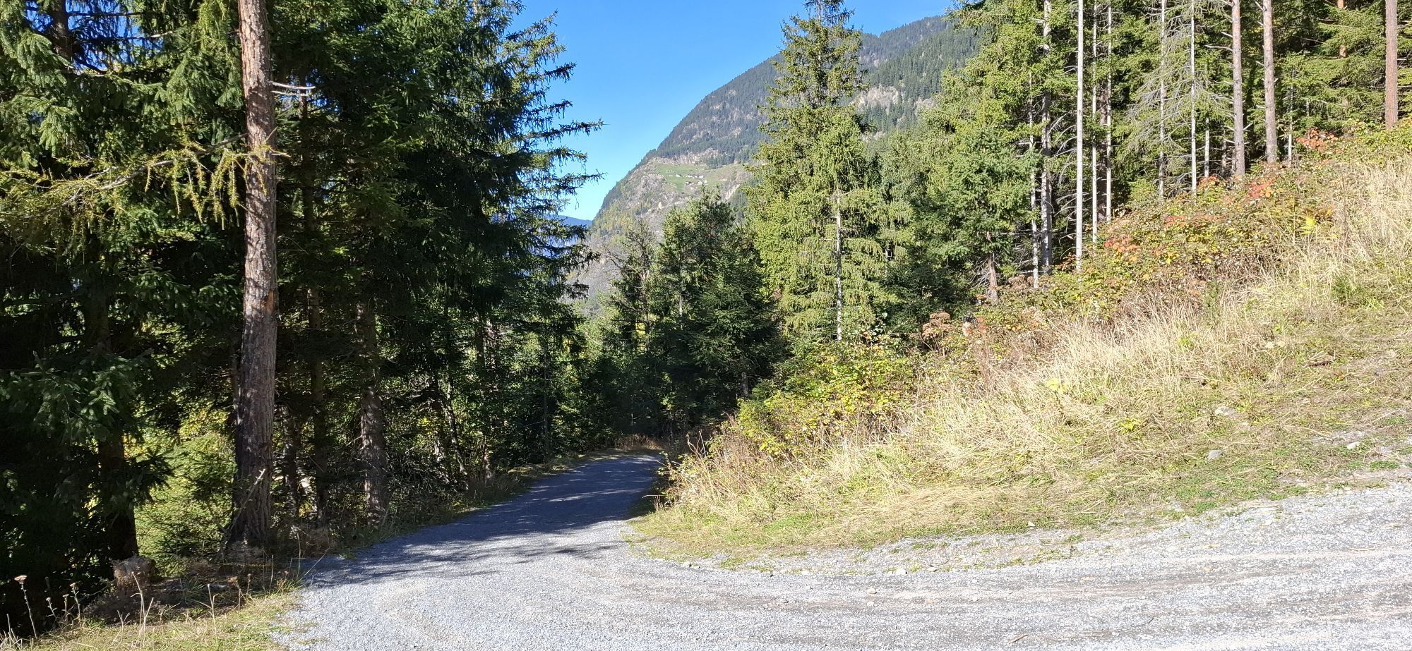
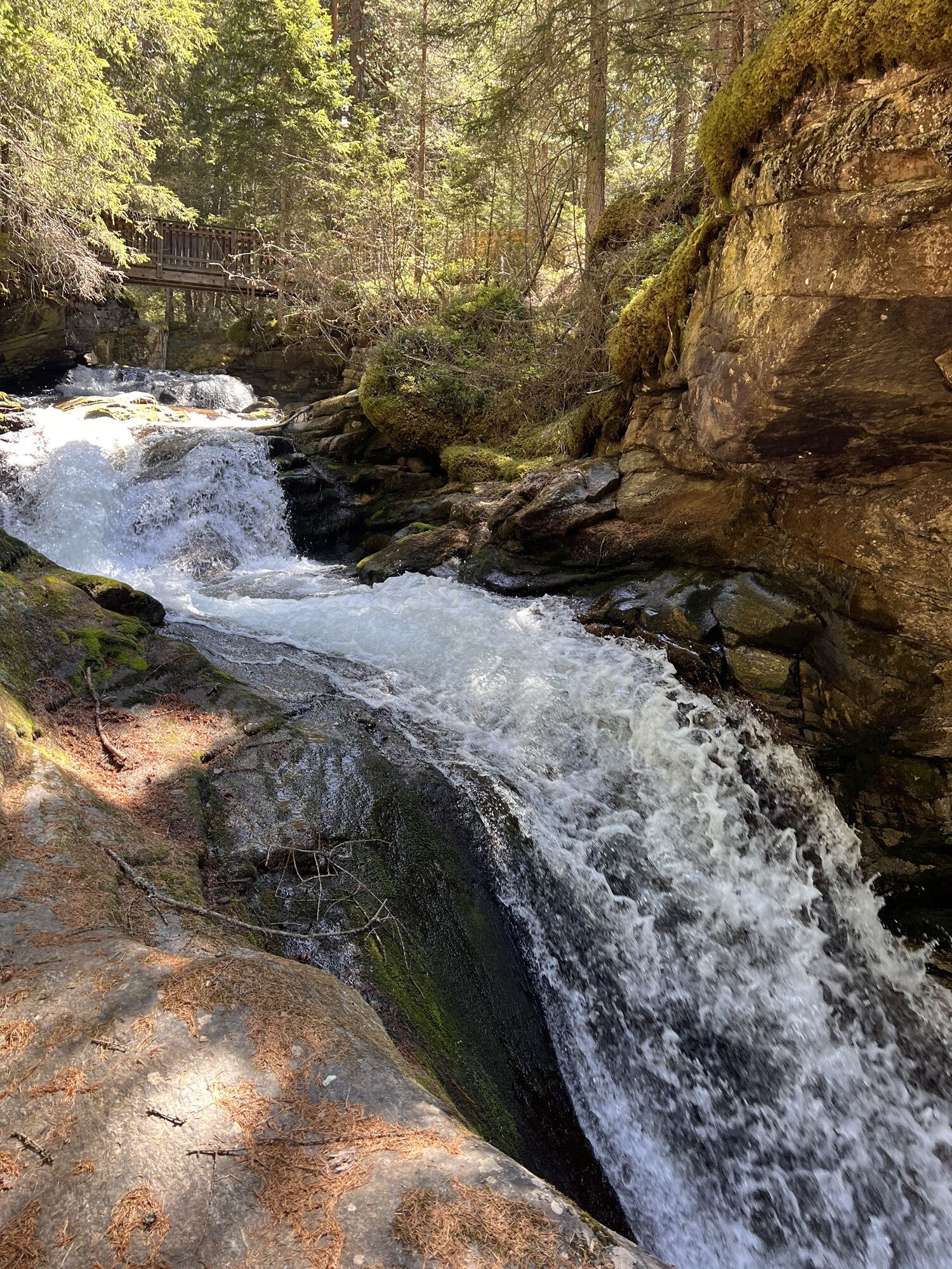
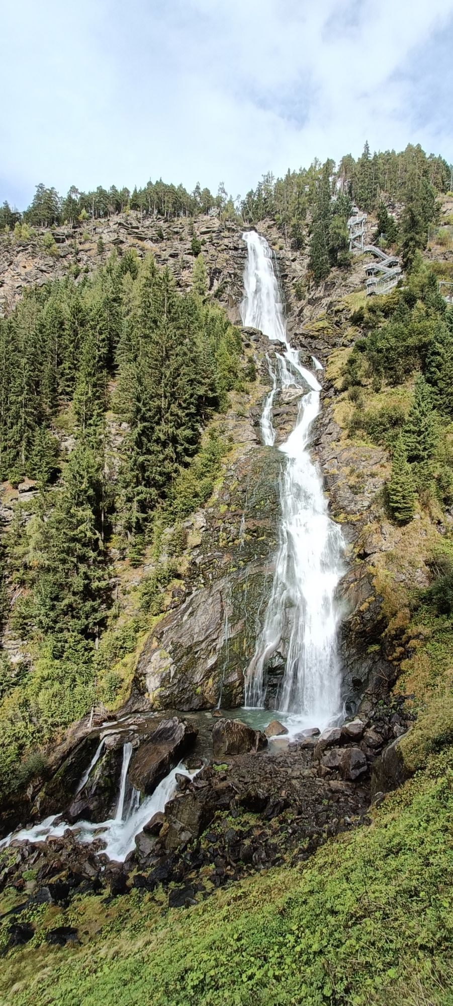
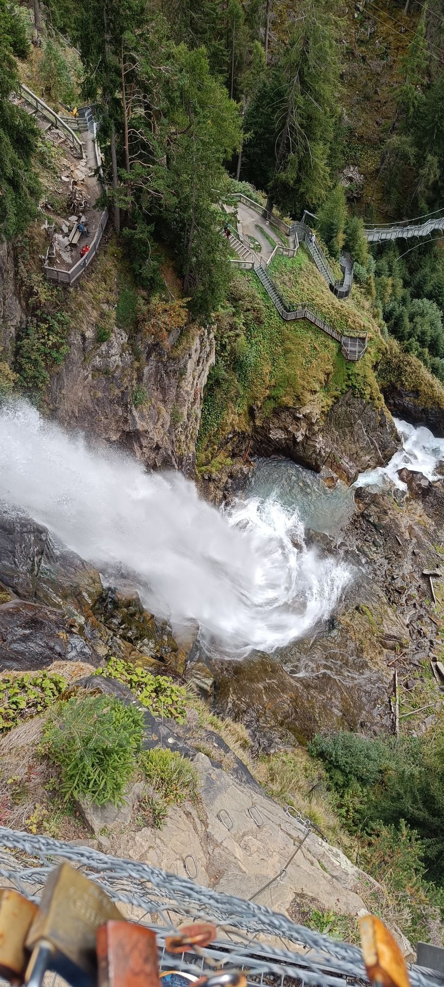
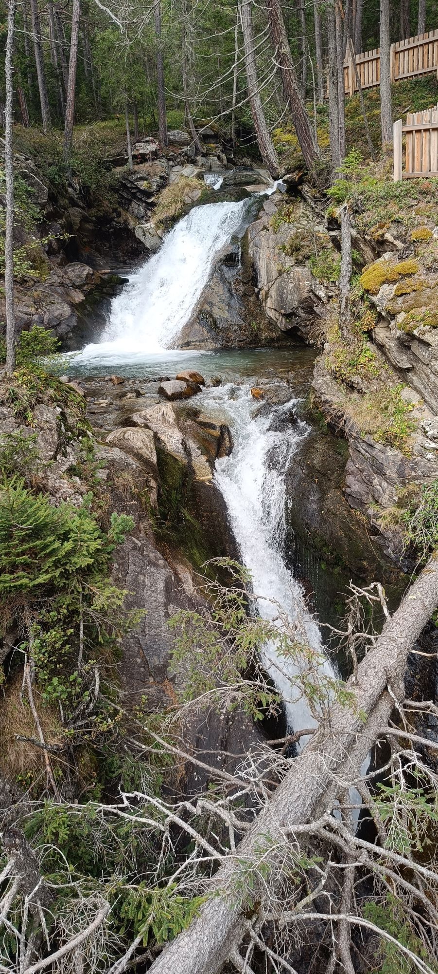
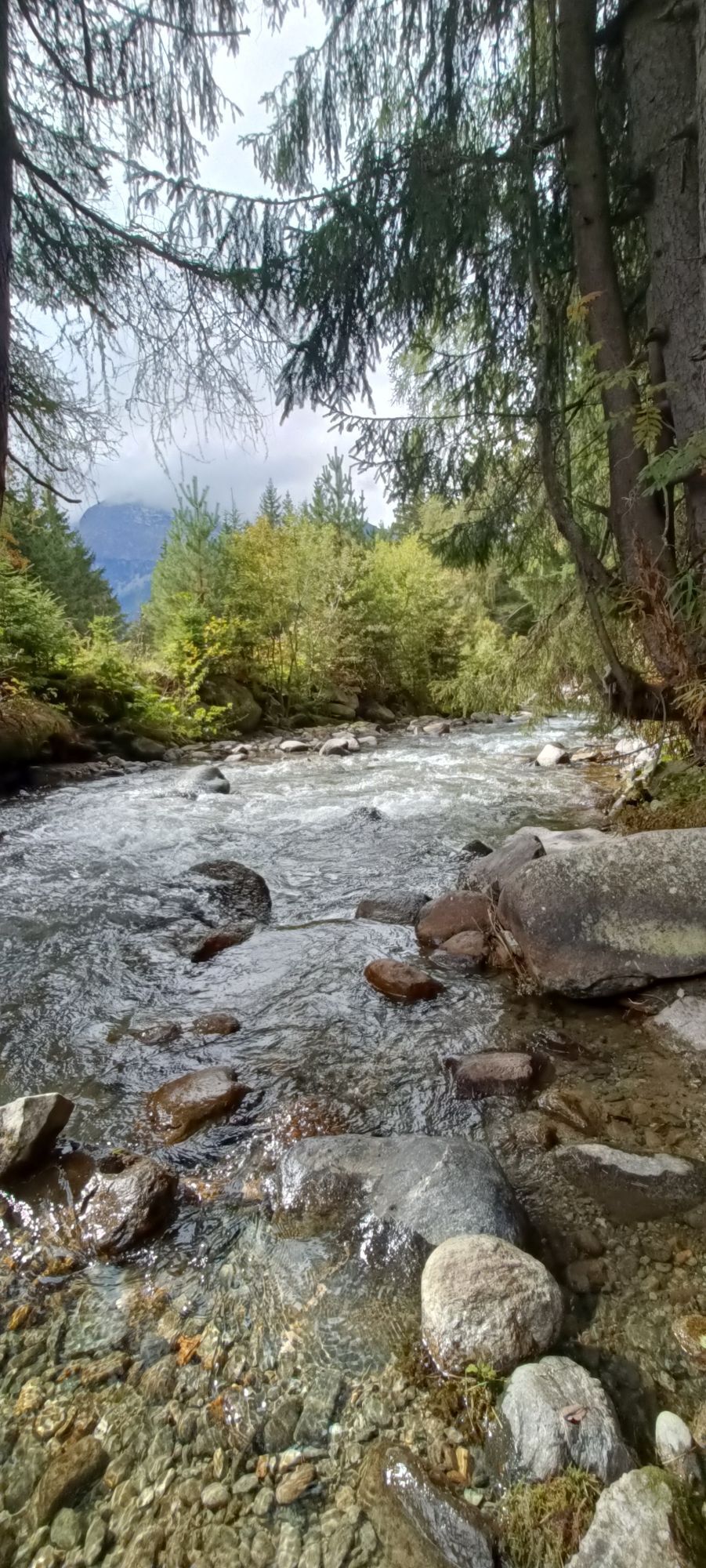
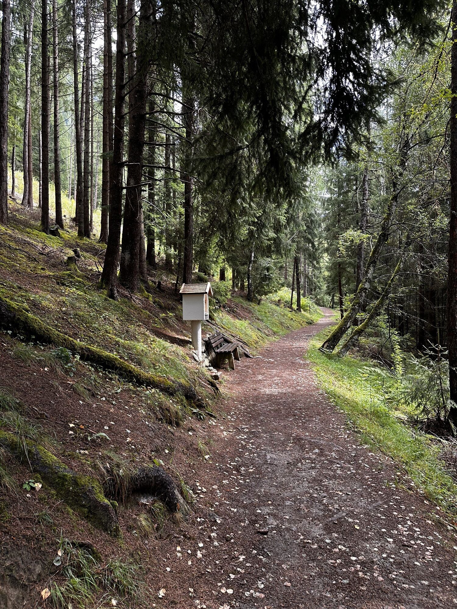
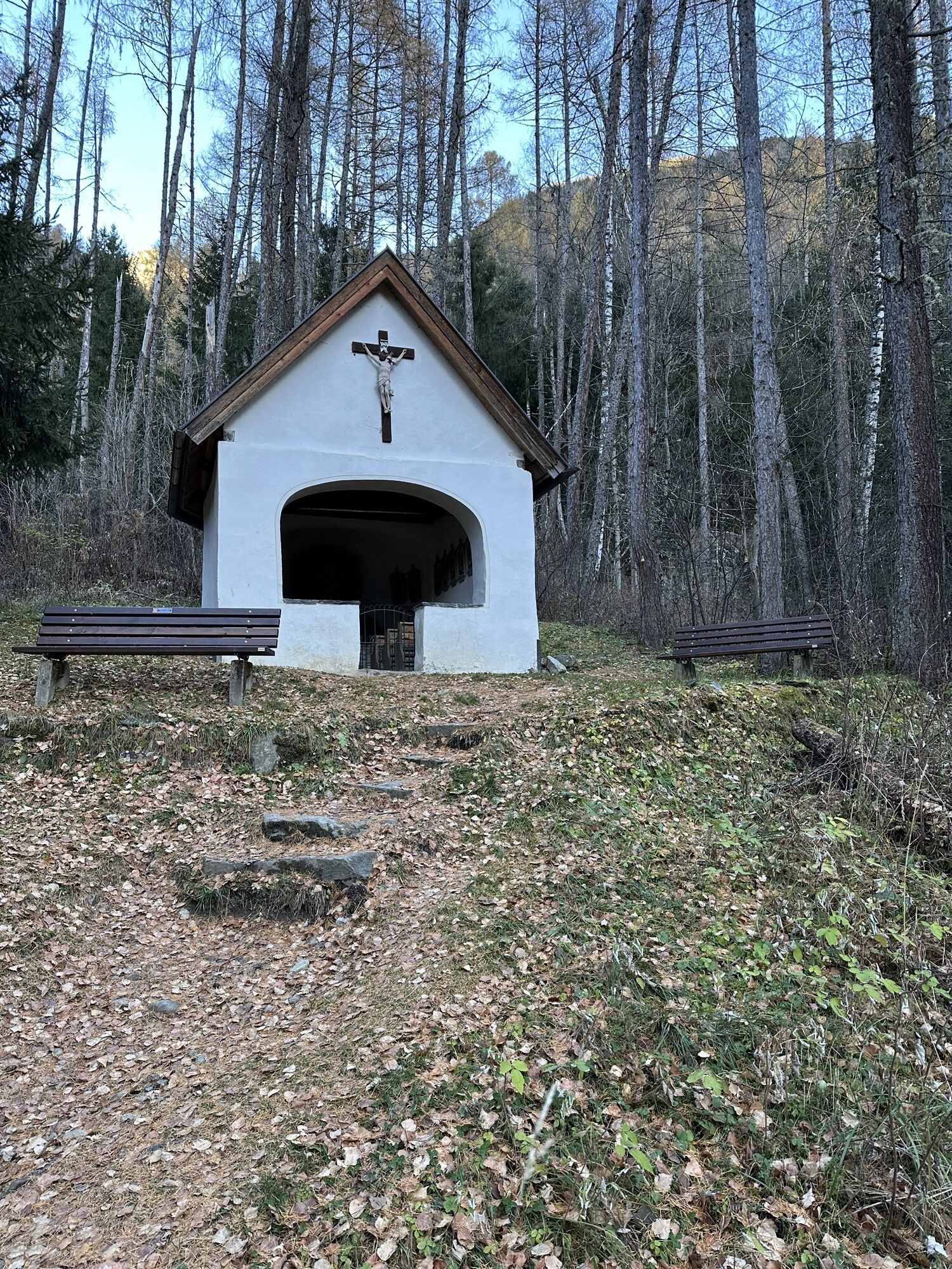
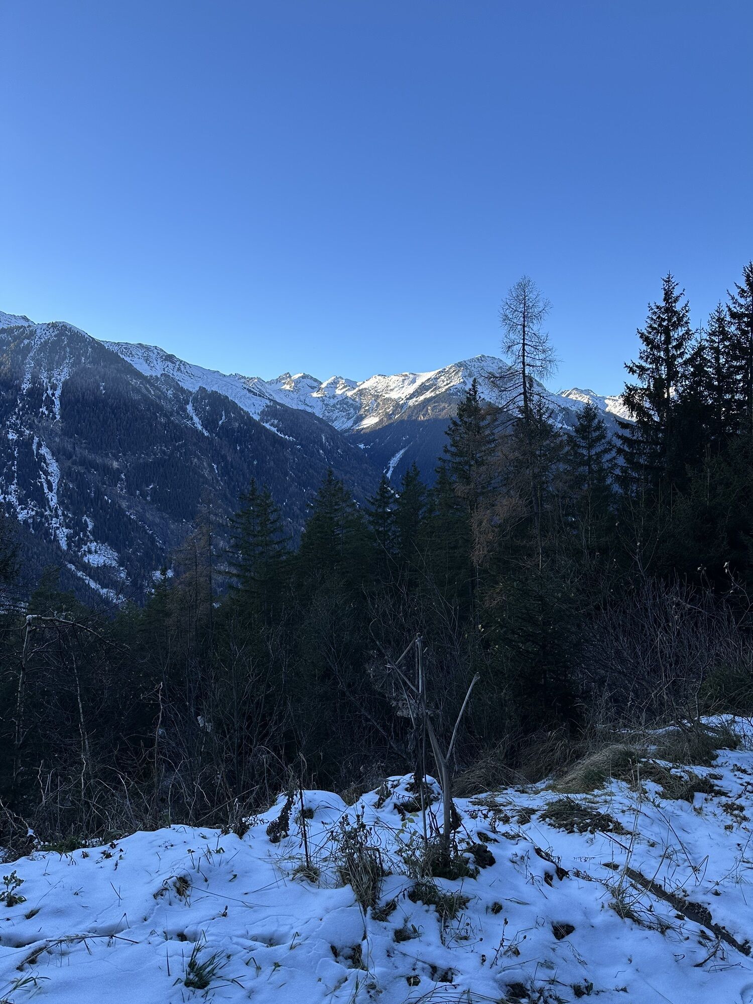
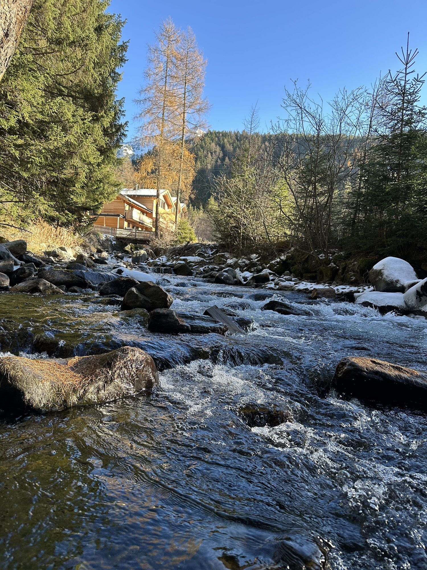
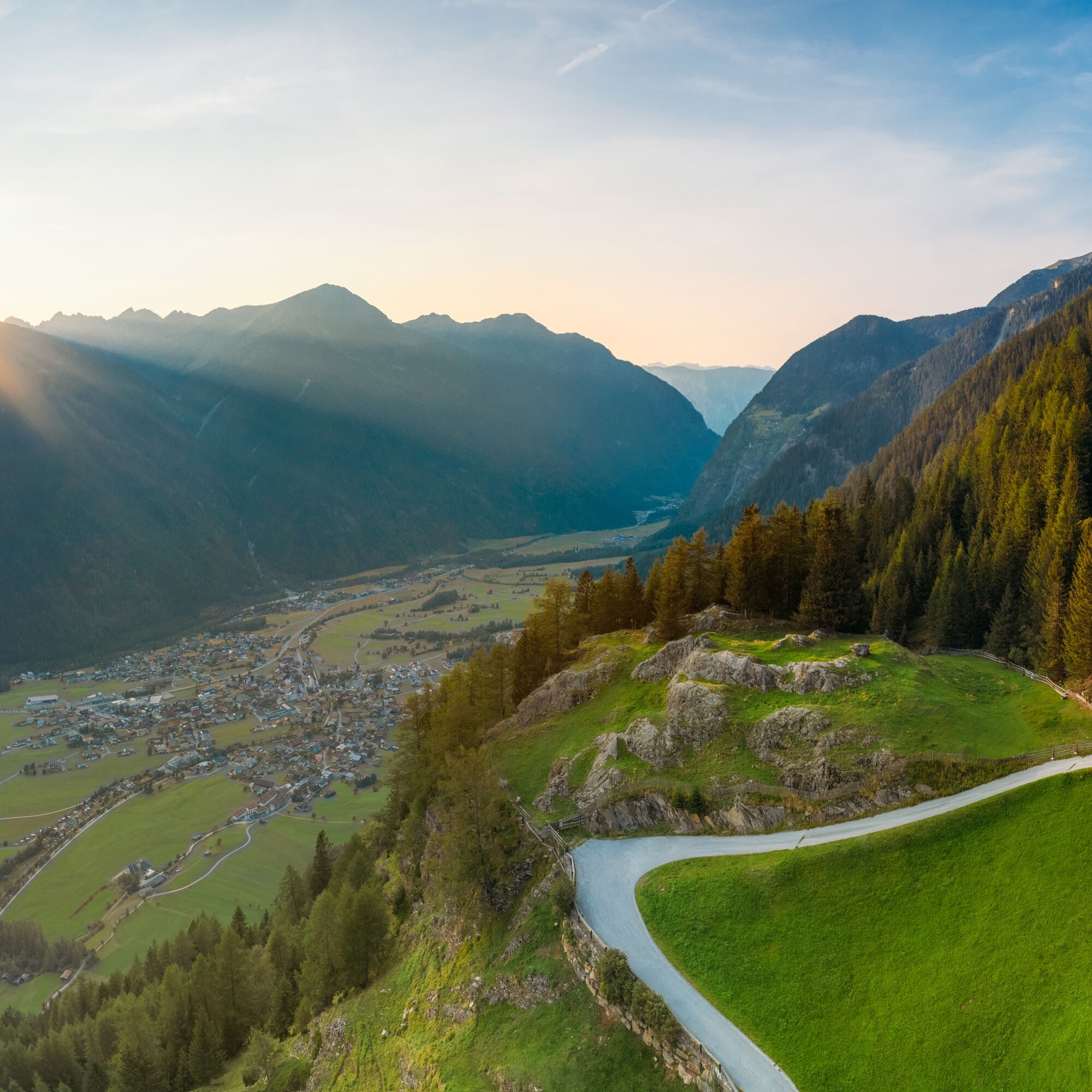
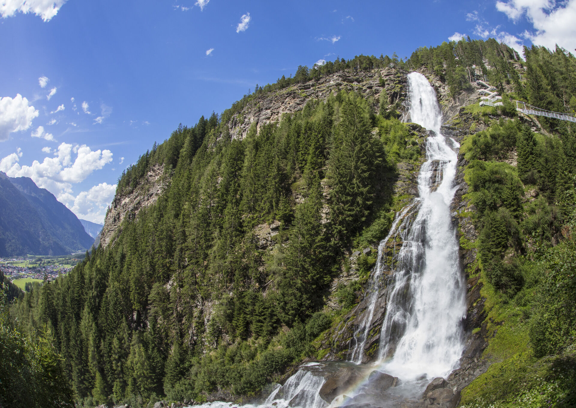
This route starts in Umhausen at the Mure parking lot (village center). From the starting point, you first ride up the slightly ascending Roßlachgasse until you reach the signpost "Umhauser Höhenweg". Then follow the wide gravel road to Niederthai to the district Höfle. The path leads through idyllic forests with moderate inclines. Peace and pure enjoyment are guaranteed here. The last section to the Höfle district is a narrow, steep hiking trail where you may have to push the mountain bike (sporty bikers continue riding here). From Höfle, the route goes downhill to the Mühl district past the Stuibenfall guesthouse. From there, the wide gravel road on the right via the "Alter Niederthaier Straße" leads back to Umhausen. Before the descent, a detour to the Stuibenfall — the largest waterfall in Tyrol — is worthwhile. Here, you experience the impressive natural spectacle up close. The last part of the tour leads back through Roßlachgasse to the starting point.

Appropriate equipment such as breathable clothing and weather-appropriate outdoor clothing, bike helmet, gloves, sunglasses, and a GPS device or map material. For bike routes without refreshment options, sufficient provisions are necessary.
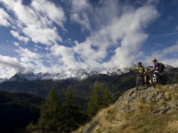
Sporty cycling skills and defensive driving behavior are required due to the partly steep climbs and more difficult downhill sections, and the demands on fitness and riding technique are classified as moderate. The focus is on sporty, active (pleasure) cycling.
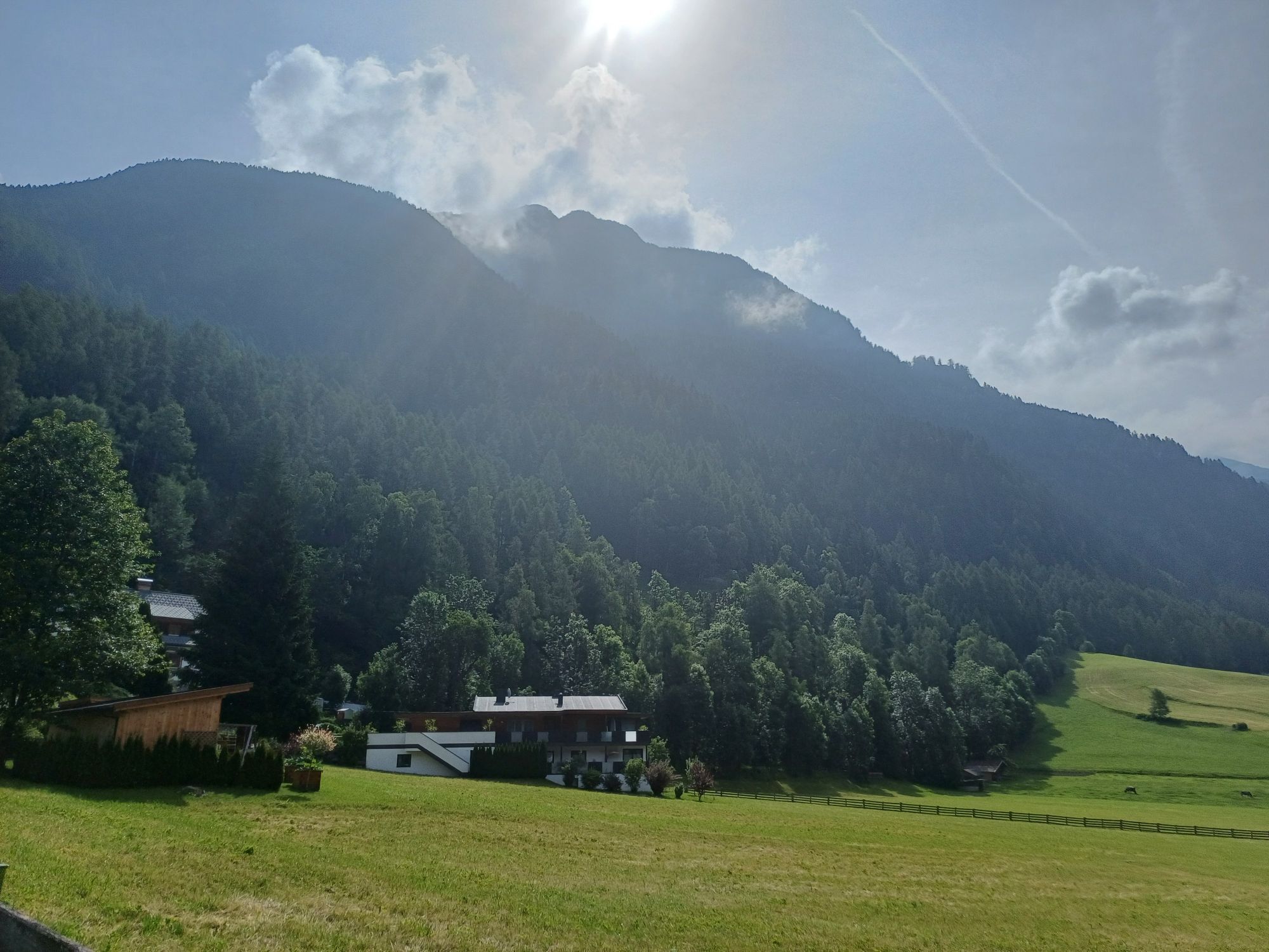
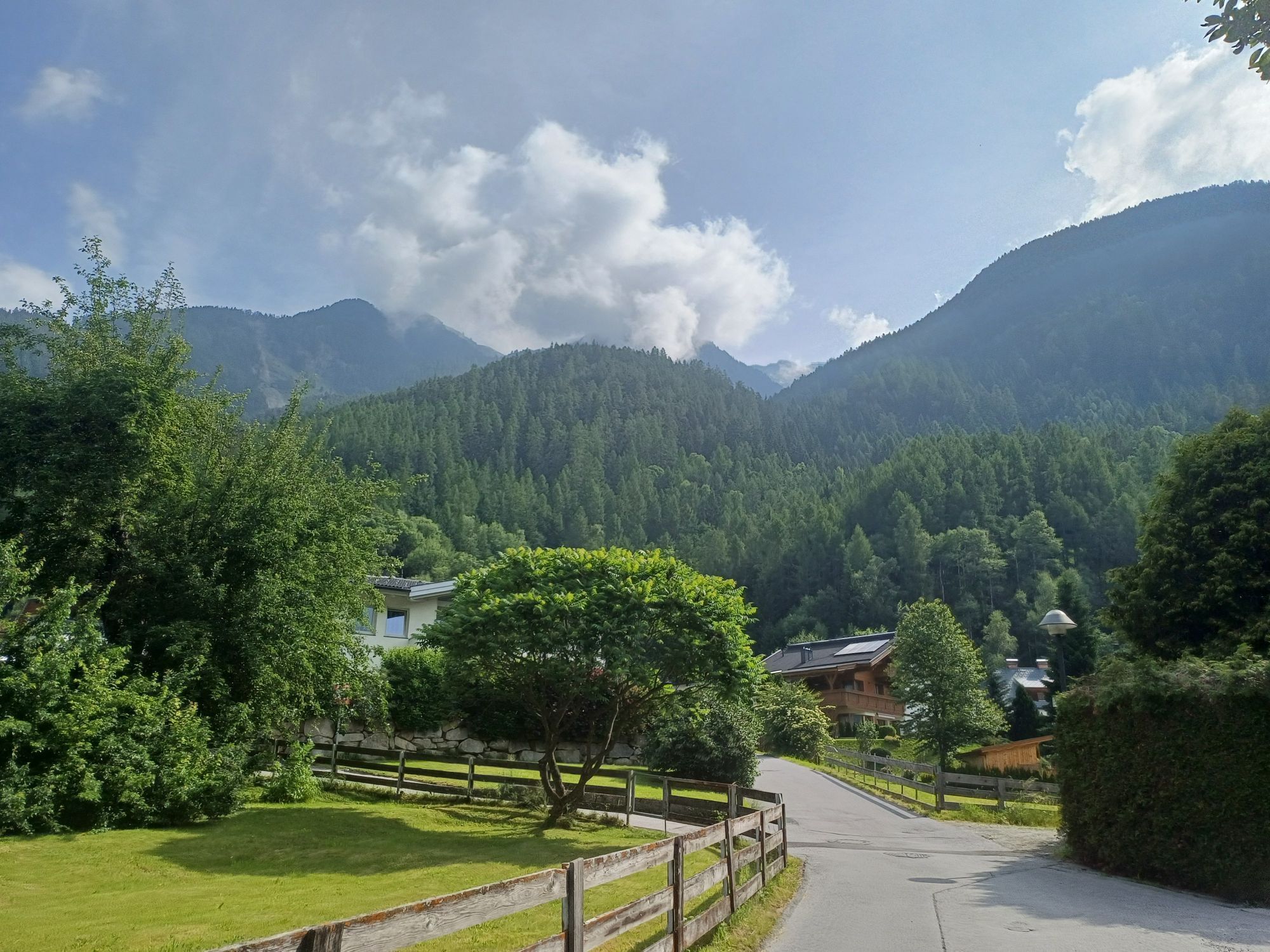
The drive by car into ÖTZTAL. Located in Tyrol, the Ötztal branches off to the south as the longest side valley of the Eastern Alps. Traveling by car, visitors journey through the Inn Valley to the valley entrance and then continue along the Ötztal. In addition to the toll motorway, country roads can also be used. Your drive can be quickly and conveniently planned using the route planner.
To the route planner: https://www.google.at/maps.
Travel comfortably and safely by train to the Ötztal station. The final stop or exit point is the ÖTZTAL station. Afterwards, you can conveniently and quickly travel through the entire valley to your desired destination by public transport or local taxi companies! The current bus schedule is available at: fahrplan.vvt.at
The following parking options are available in Umhausen:
Mure parking lot, free of chargeMore info about biking & cycling in Ötztal: https://www.oetztal.com/biken
The tour runs along developed trails and is easily ridable by e-bike or mountain bike.
Popularne wycieczki w okolicy
-
4,5
Winnebachsee Hut – Längenfeld/Gries
średniWędrówka 4,74 km -
4,2
Hike Stuibenfall - Umhausen
światłoWędrówka 2,95 km -
4,4
Stuibenfall Umhausen circular hike
światłoWędrówka 9,32 km -
4,5
Oetz - Piburger See - Oetz
średniWędrówka 7,16 km -
4,4
Rundwanderung Hängebrück3
światłoWędrówka 6,32 km -
4,7
Winter circular route Brandalm/Burgstein - Längenfeld 204
średniWędrówka zimą 5,44 km -
4,3
Lampsenspitze, Sellrain, Tirol
średniWycieczka narciarska 4,97 km -
4,3
Amberger Hut - Längenfeld/Gries
średniWędrówka 5,60 km -
4,7
Summit route Faltegartenköpfl
średniWędrówka 4,04 km -
4,6
Umhausen - Stuibenfall - Umhausen
średniWędrówka 7,94 km
Wędrówki i tropienie


Nie przegap ofert i inspiracji na następne wakacje
Twój adres e-mail została dodana do listy mailingowej.