


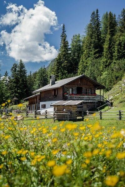
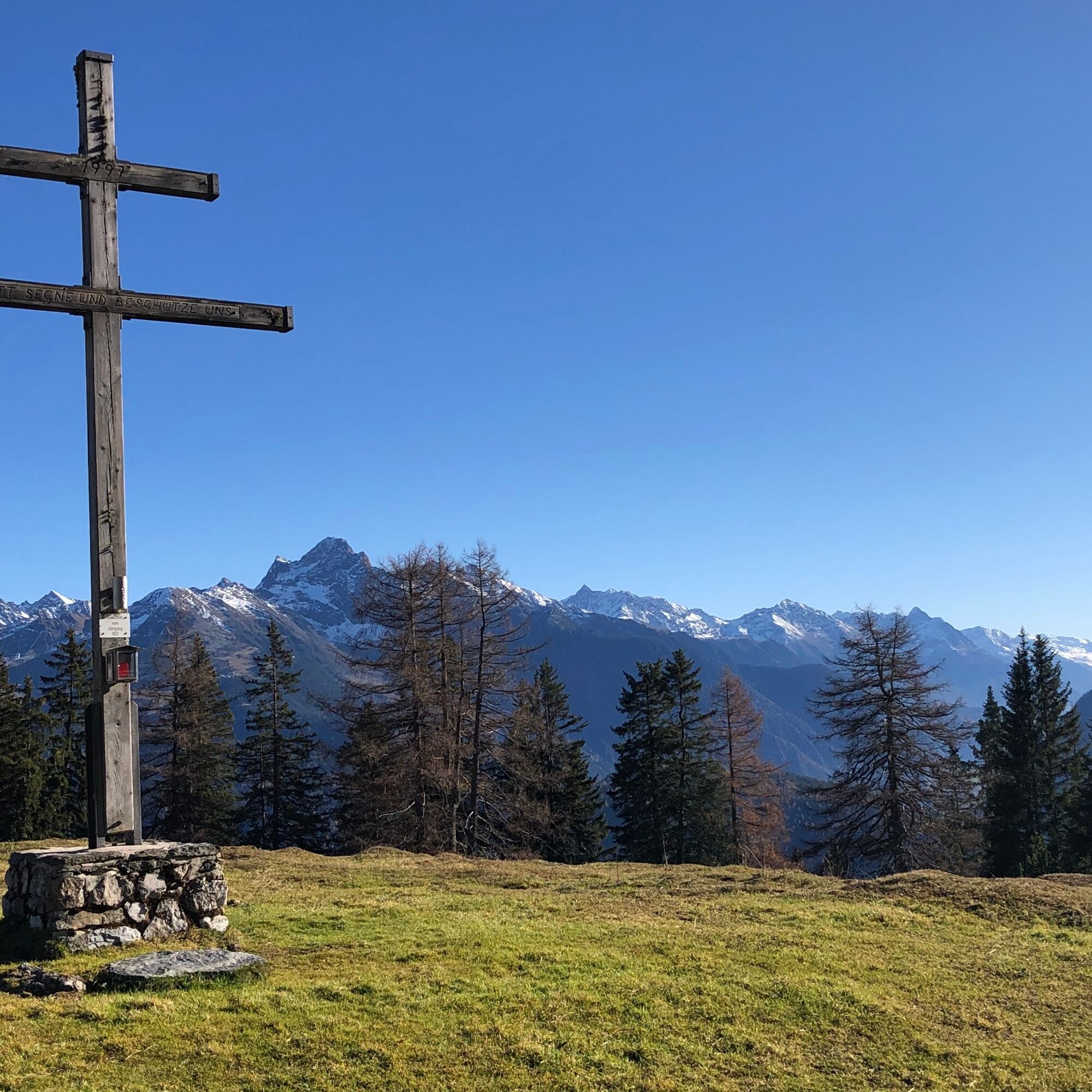
Haiminger Alm <> Simmering Alm
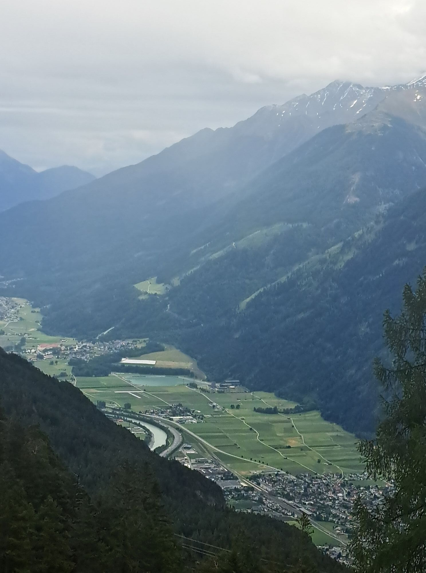
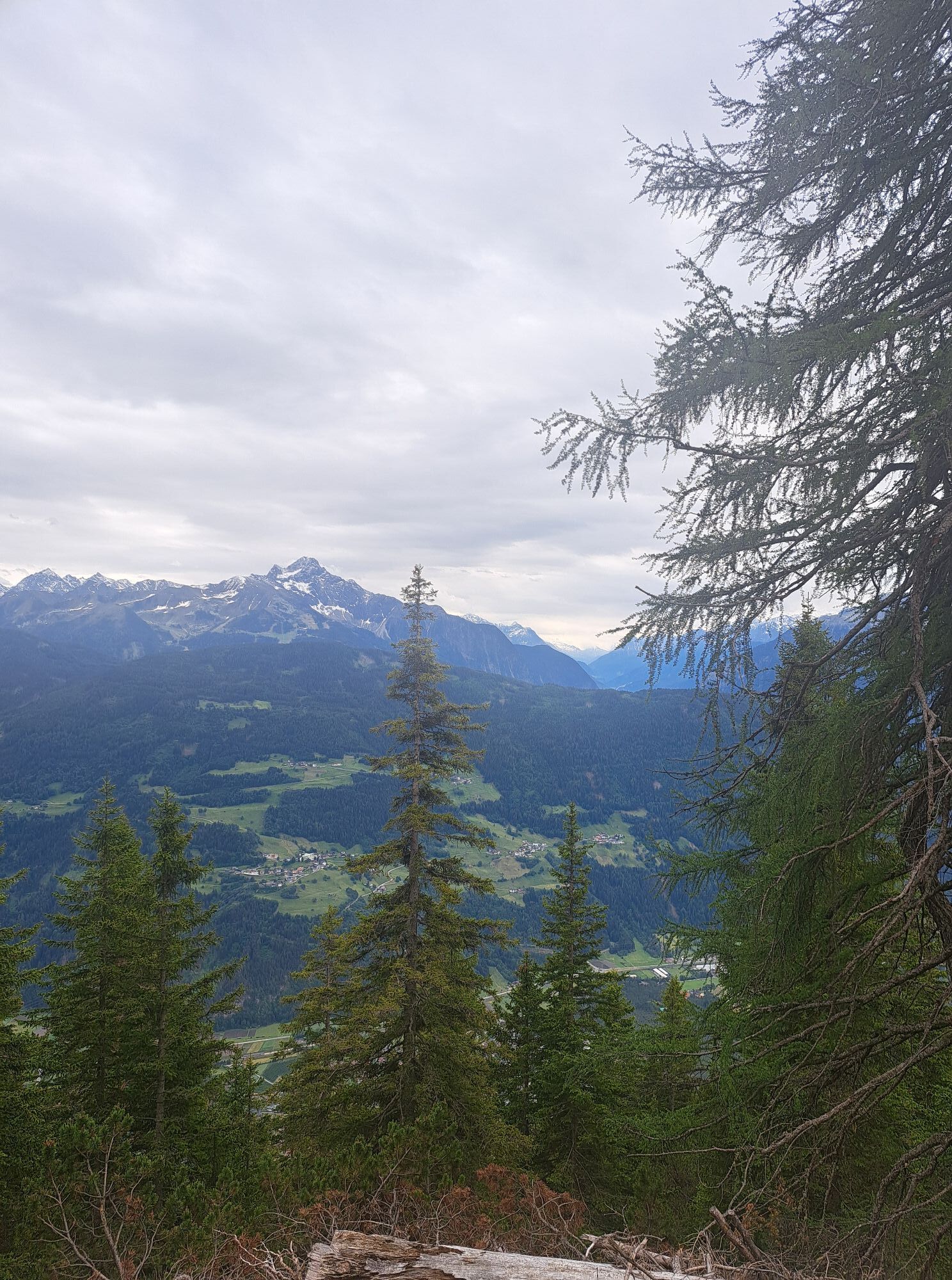
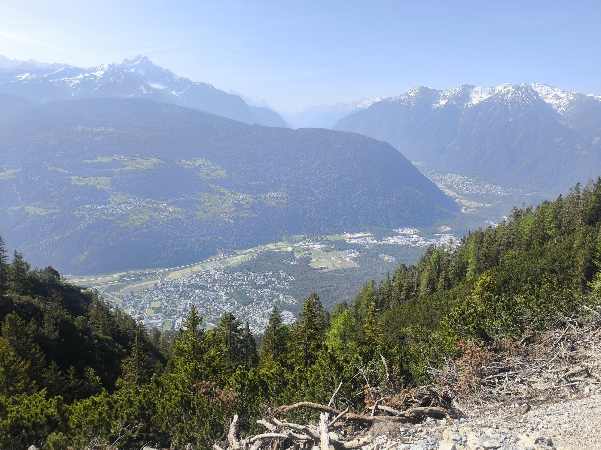
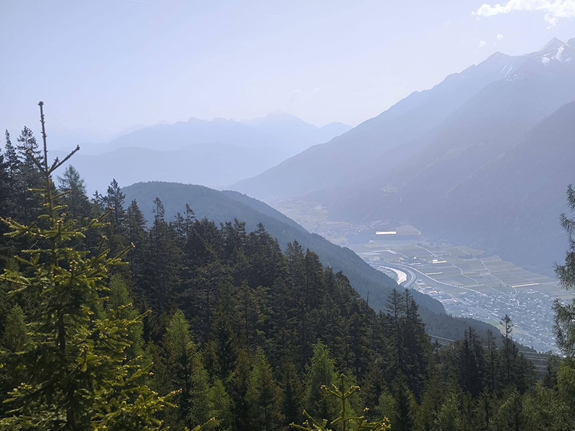
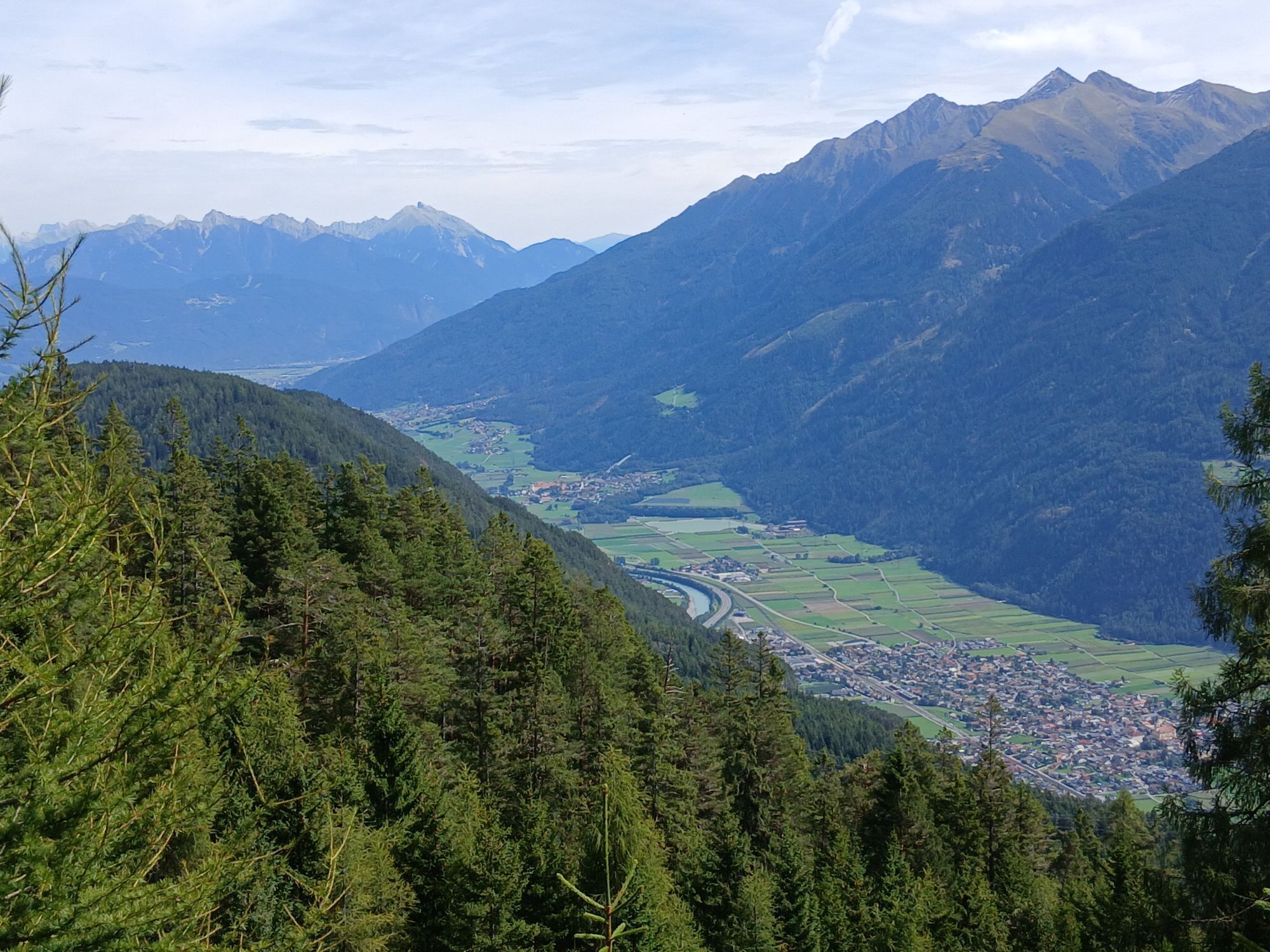
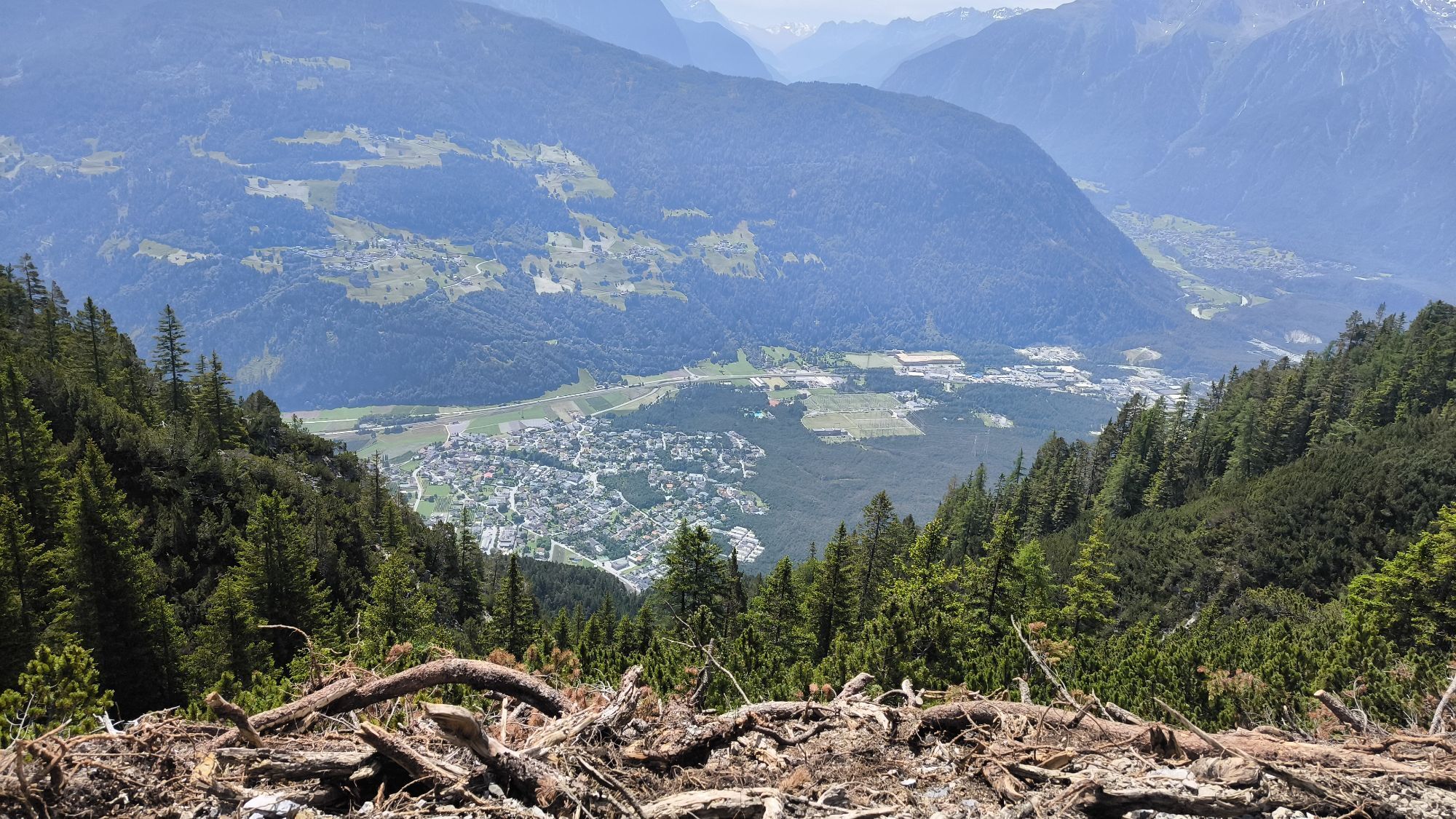
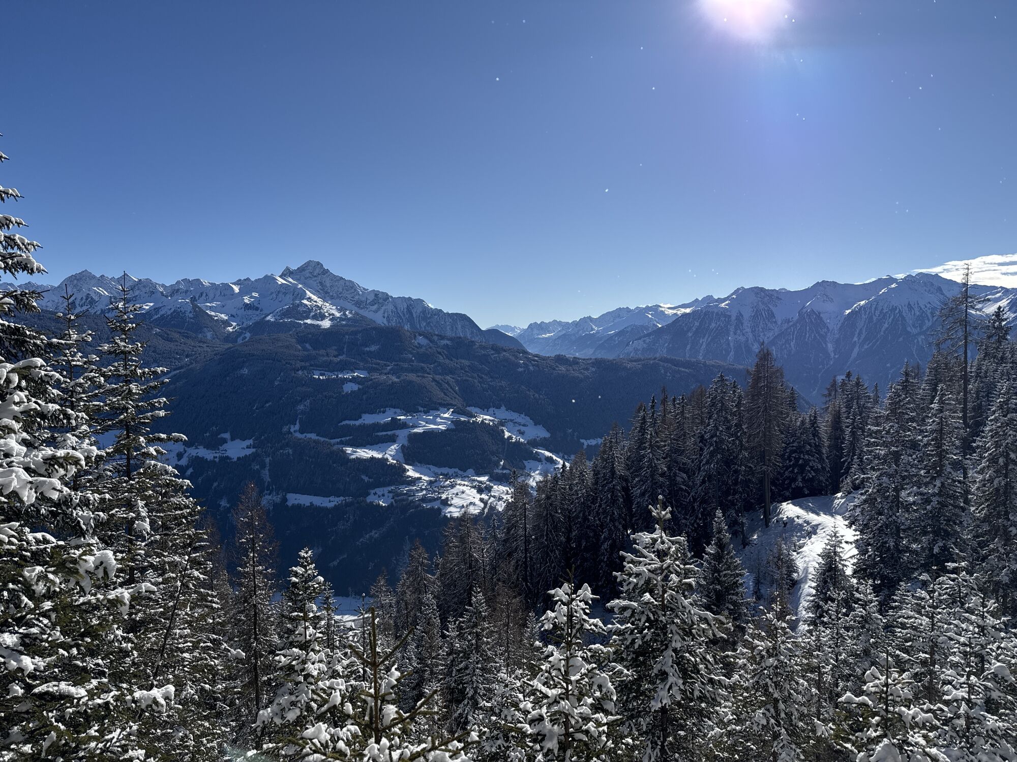
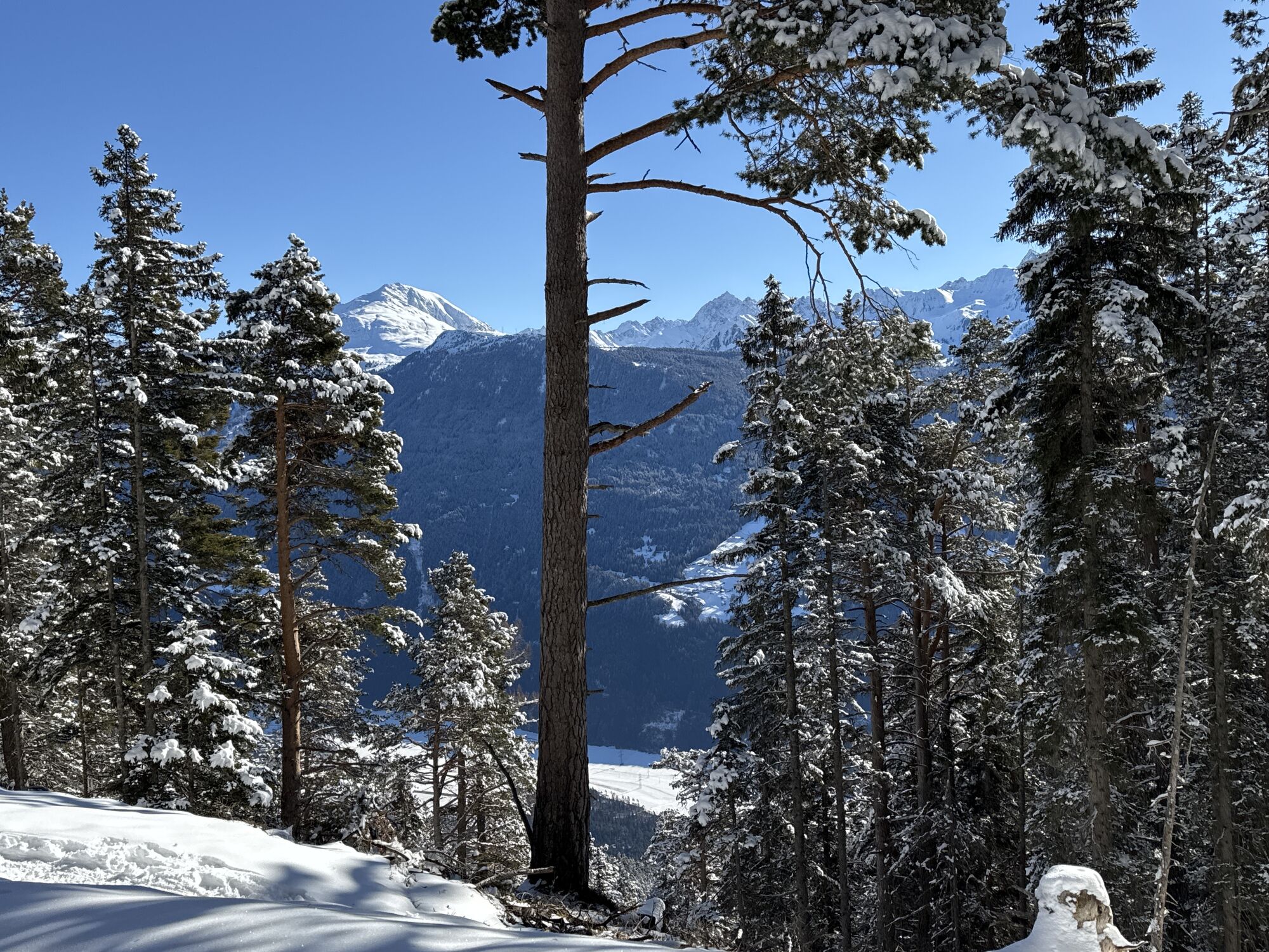
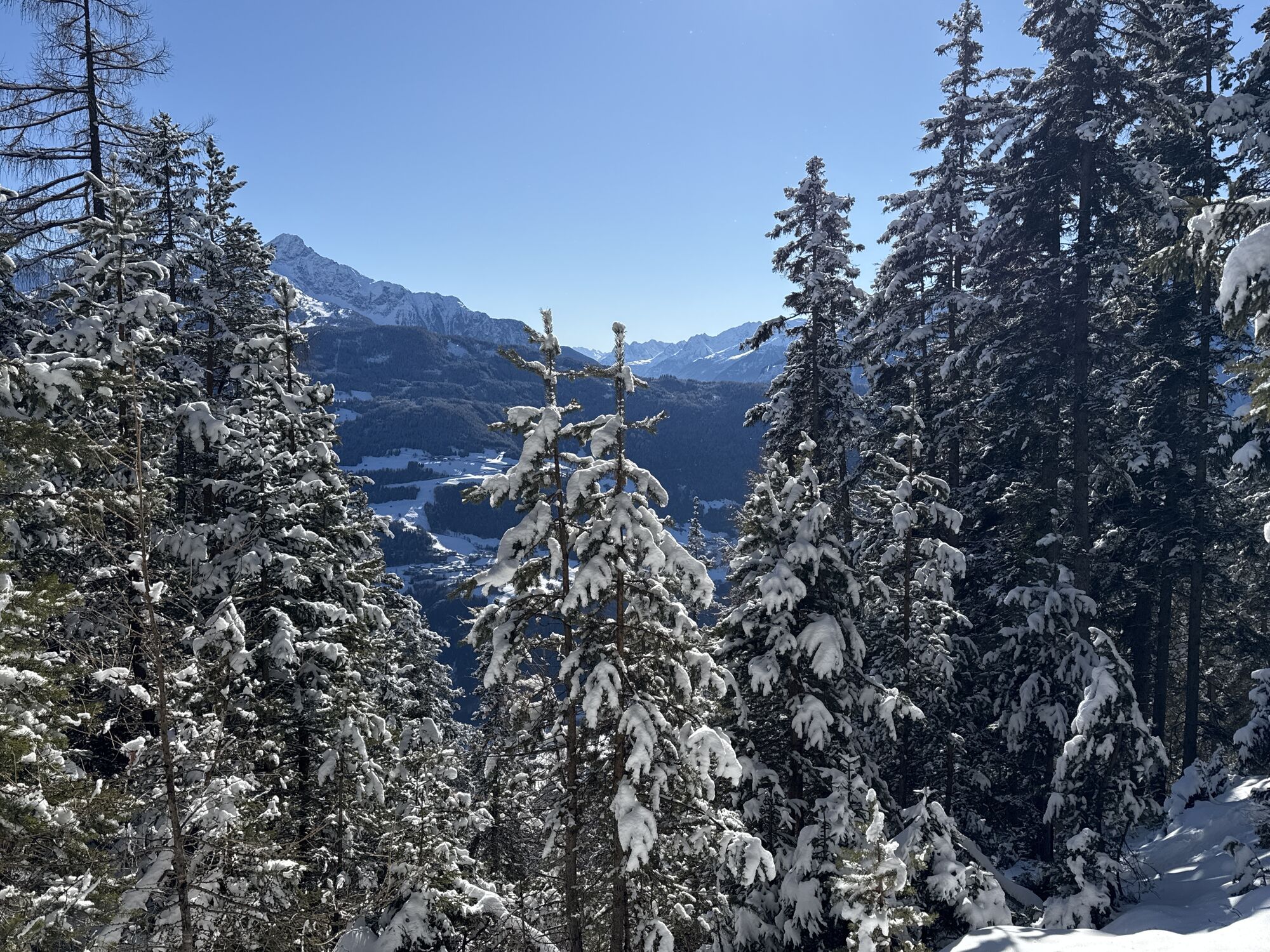

The approximately 3.1 km long connecting route leads from the Haiminger Alm to the Simmering Alm, linking two popular mountain pastures set in scenic alpine surroundings. The route is ideal as a connecting...
The Haiminger Alm can be reached via Strad near Imst and makes an attractive starting or finishing point for the route. The Simmering Alm, on the other hand, is accessed via Obsteig, which makes this connection easy to integrate into longer hiking or biking tours.

The Haiminger Alm can be reached via Strad near Imst and makes an attractive starting or finishing point for the route. The Simmering Alm, on the other hand, is accessed via Obsteig, which makes this connection easy to integrate into longer hiking or biking tours.
Appropriate equipment such as breathable clothing and weather-adapted outdoor wear, a bicycle helmet, gloves, sunglasses, and a GPS device or map material. For bike tours without opportunities to stop for refreshments, sufficient provisions are necessary.
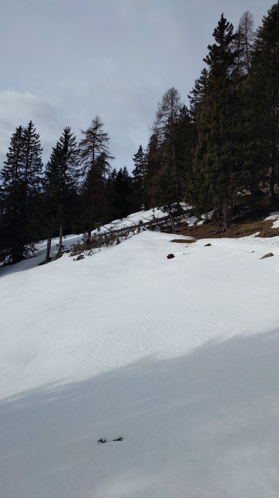
Moderately difficult connecting trail from the Haiminger Alm to the Simmering Alm
Zum Routenplaner: https://www.google.at/maps.
Reisen Sie mit der Bahn komfortabel und sicher zur Bahnhof-Station Ötztal. Endstation bzw. Ausstiegspunkt ist der Bahnhof ÖTZTAL. Anschließend fahren Sie bequem und schnell mit dem öffentlichen Linienverkehr oder den örtlichen Taxiunternehmen durch das gesamte Tal zu Ihrem Wunschziel! Den aktuellen Busfahrplan gibt’s unter: fahrplan.vvt.at
Obsteig
https://www.oetztal.com/biken
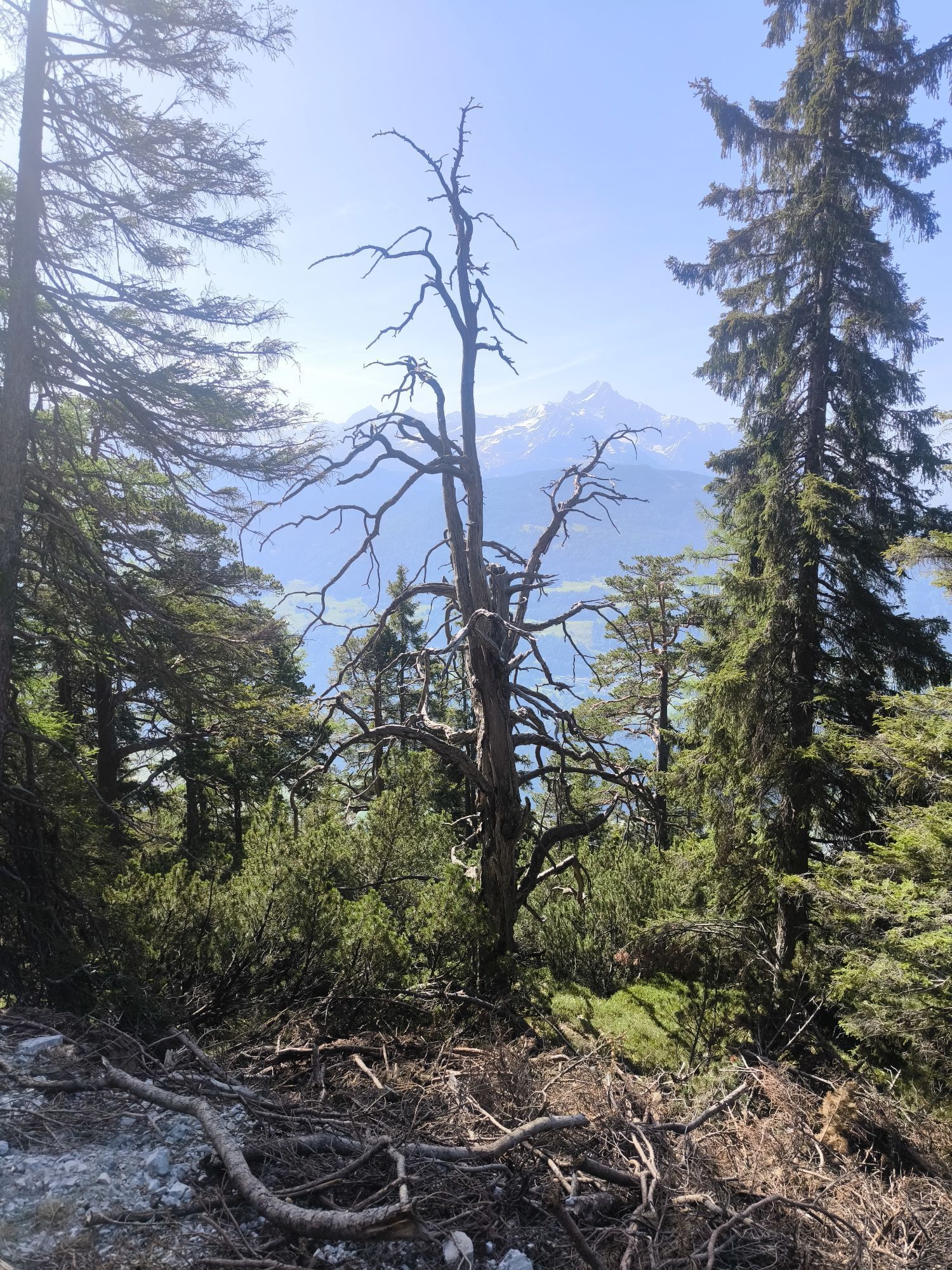
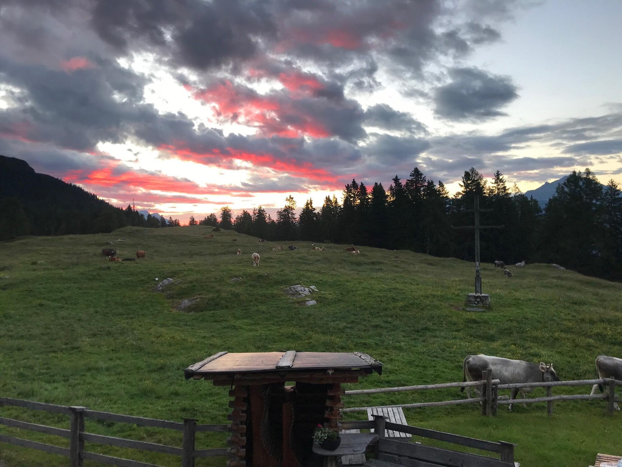
Allow yourself plenty of time to fully enjoy the impressive panorama and the cozy atmosphere on the mountain pastures.
Popularne wycieczki w okolicy
- 4,9
Sebensee/ Coburger Hütte
średniWędrówka 18,7 km - 4,8
Ehrwald - Hoher Gang - Seebensee - Drachensee - Coburger Hütte
ciężkiWycieczki górskie 14,6 km - 4,6
Trip Tirol ➤ Hike to the Blue Grotto in Rosengarten Gorge Imst
średniWędrówka 4,86 km - 4,7
Ehrwald / Drachensee / Coburger Hütte / Seebensee
średniWędrówka 14,8 km - 4,5
Oetz - Piburger See - Oetz
średniWędrówka 7,16 km - 4,8
BIEBERWIER | Blindsee
światłoWędrówka 4,84 km - 4,7
Summit route Faltegartenköpfl
średniWędrówka 4,04 km - 4,1
Arzkasten - Lehnberghaus
światłoWędrówka 3,08 km - 4,5
Summit route Weather Cross from Hochoetz
średniWędrówka 3,06 km - 4,8
lake Piburger See
światłoWędrówka 2,75 km
Wędrówki i tropienie


Nie przegap ofert i inspiracji na następne wakacje
Twój adres e-mail została dodana do listy mailingowej.