Dane wycieczki
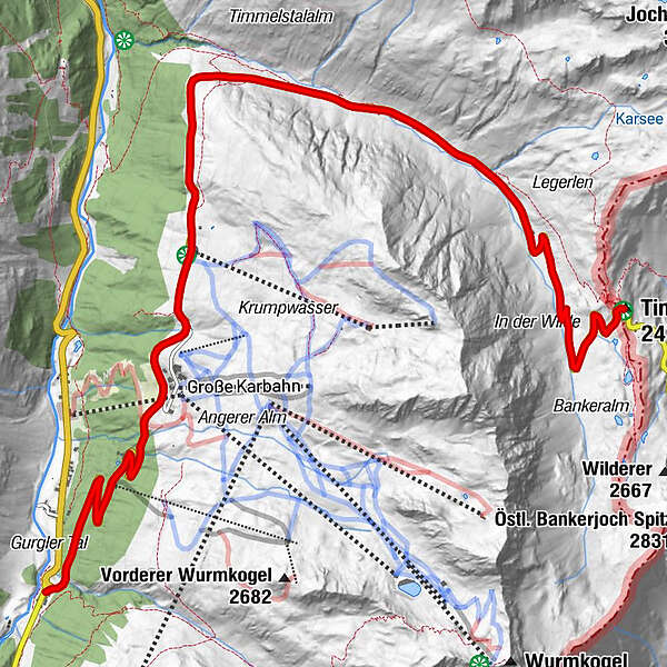
11,13km
1.834
- 2.471m
753hm
05:30h
- Krótki opis
-
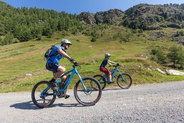
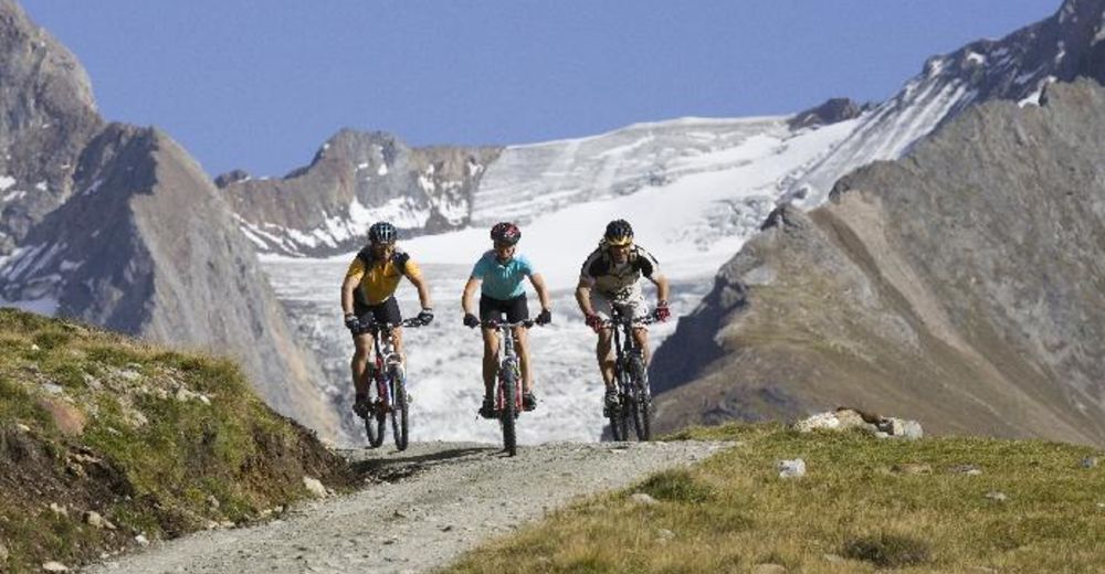
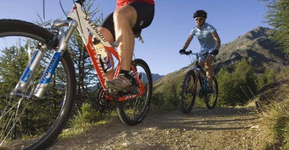
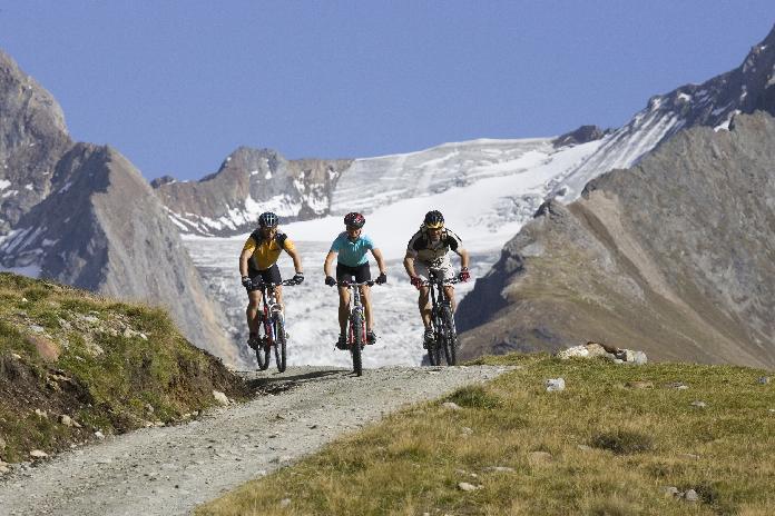
Trail for Mountainbikes through the whole Ötztal Valley
- Stopień trudności
-
średni
- Ocena
-
- Punkt wyjścia
-
Possible from all the villages in the Ötztal valley
- Trasa
-
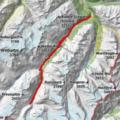
Hochgurgl (2.150 m)2,9 kmCrosspoint4,1 kmTotenstein8,5 kmRasthaus Timmelsjoch11,0 km
- Najlepszy sezon
-
stylutmarkwimajczelipsiewrzpaźlisgru
- Najwyższy punkt
- 2.471 m
- Odpoczynek/Odosobnienie
-
lots of Restaurants in the valley
- Mapy
-
free Bike Map available in all Tourist Offices in the Ötztal valley

GPS Downloads


Pasy ruchu
Asfalt
Żwir
Las
Szlaki górskie
Wyprawy singletrails
Trial
Komunikacja
Więcej wycieczek w regionach
-
Meraner Land
155
-
Ötztal
154
-
Obergurgl - Hochgurgl
55