


TIP Alpine Passes Tyrol ➤ Ötztal Glacier Panorama Road
Poziom trudności: 1
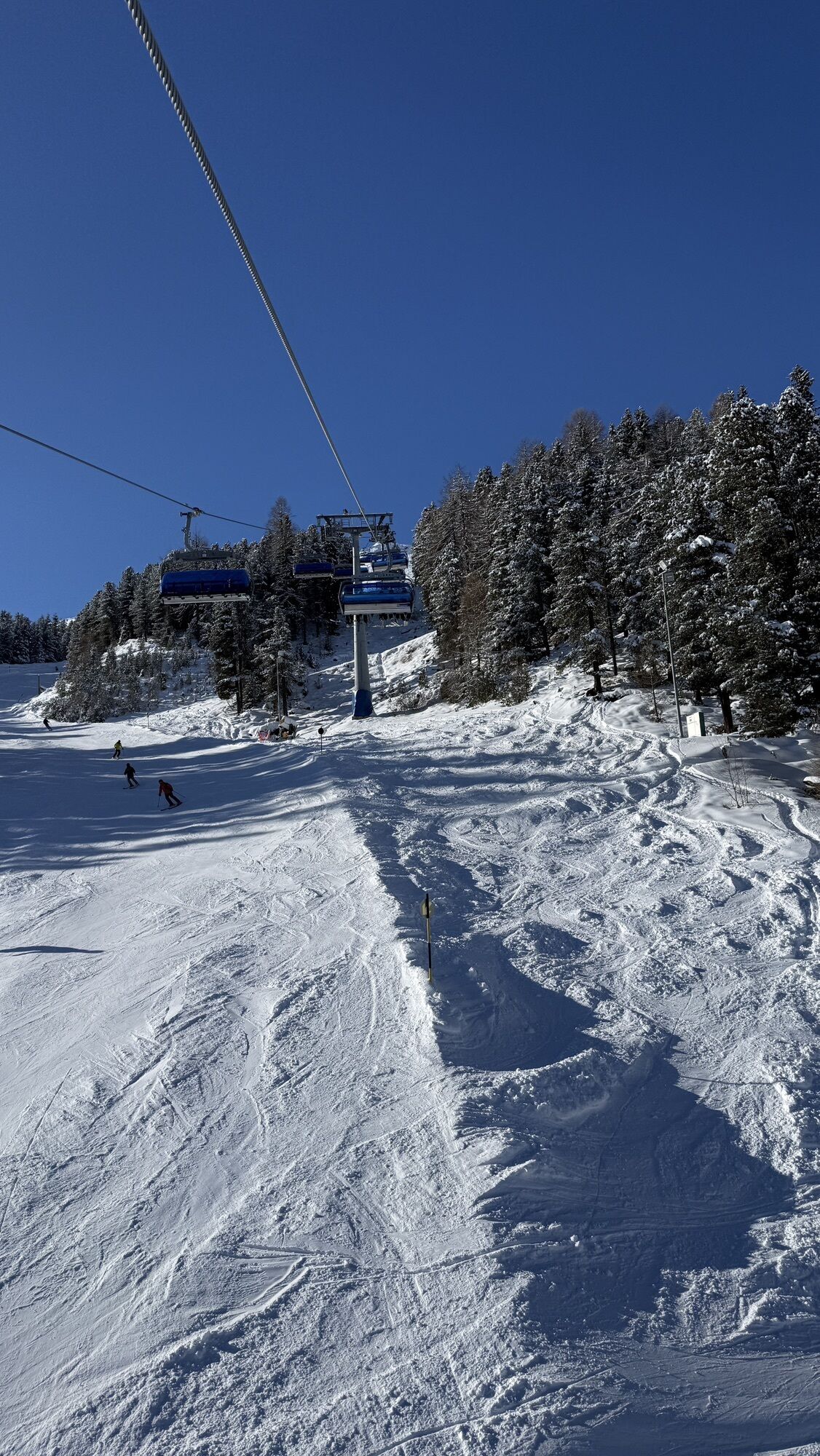
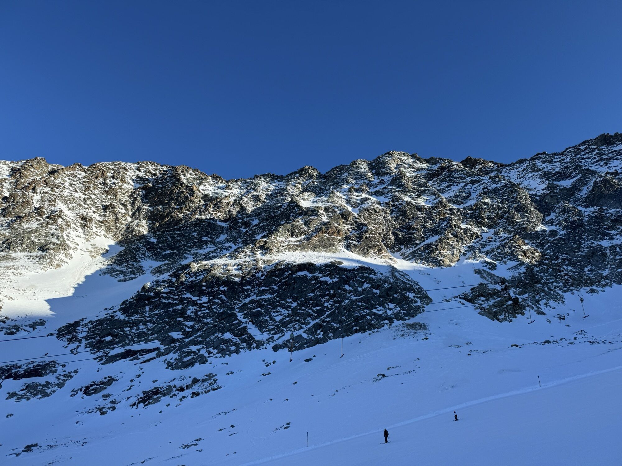
Zdjęcia naszych użytkowników
 © Noah BiebersteinUtworzono dnia 05.04.2026
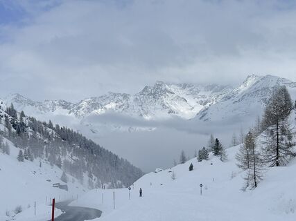 © sam1007Utworzono dnia 15.03.2026
 © Peter NinauszUtworzono dnia 22.02.2026
 © Peter NinauszUtworzono dnia 22.02.2026
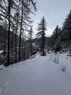
 © stijn zijderveldUtworzono dnia 16.02.2026
 © Oliver PrentkiUtworzono dnia 30.01.2026
 © Alessandro Van den BergUtworzono dnia 21.01.2026
 © okidoki1980Utworzono dnia 05.08.2025

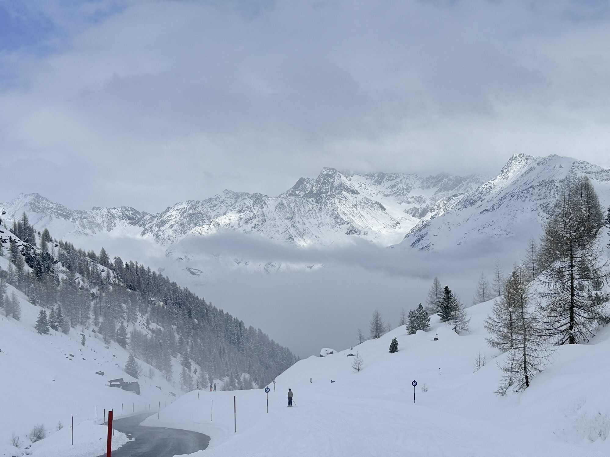


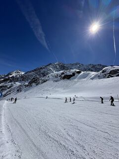
🌄 With every hairpin bend, new breathtaking views open up.
🌄 The Glacier Tunnel (tunnel patron Rosi Mittermaier) – highest road tunnel in the Alps – connects the two ski areas at an elevation of 2,800...
ð With every hairpin bend, new breathtaking views open up.
ð The Glacier Tunnel (tunnel patron Rosi Mittermaier) – highest road tunnel in the Alps – connects the two ski areas at an elevation of 2,800 meters and a length of 1.7 km. The road and tunnel are continuously two-lane, the average gradient is 11%, therefore easily passable for all vehicles including buses. Carrying snow chains in the autumn months is recommended as it can sometimes snow unexpectedly in this high alpine location.
ð The road is only open when it can be driven safely (avalanche danger), so temporary closures are possible. Toll applies! This toll is only charged for non-skiers! All skiers with a valid ski pass can use the toll road free of charge!


Turn right at the exit of Sölden and the drive by car, motorcycle, or public bus along the Ötztal Glacier Road begins. It leads high above Sölden to the Rettenbach and Tiefenbach glaciers. The highest Alpine road in the Eastern Alps was built in 1972 as an extension of the already existing road to Hochsölden. The average gradient of the 13-kilometer route to the Rettenbach glacier is 11%. On the way to the Tiefenbach glacier, vehicles also pass through the highest tunnel in Europe, the Rosi Mittermaier Tunnel, named after one of the most successful German ski racers of all time. Shortly after, high mountain visitors pass the highest point of the road at 2,830 meters above sea level.
Tak
Tak
Motorcycle: ⤠motorcycle helmet ⤠motorcycle gloves ⤠motorcycle boots ⤠motorcycle jacket and trousers
Convertible: ⤠baseball cap ⤠sunscreen ⤠sunglasses ⤠convertible?!?
watch the road surface
THE CAR DRIVE TO THE ÖTZTAL
Located in Tyrol, the Ötztal branches off southwards as the longest side valley of the Eastern Alps. Arrival by car leads travelers through the Inn valley to the entrance of the valley and then along the Ötztal. In addition to the toll highway, country roads can also be used. The route planner makes it fast and convenient to determine the drive.
Preferably with convertible or motorcycle
Parking at Rettenbach Glacier:
850 cars / 40 buses
Parking at Tiefenbach Glacier:
1,100 cars / 40 buses
Book suitable accommodation at trip-tirol.com
1
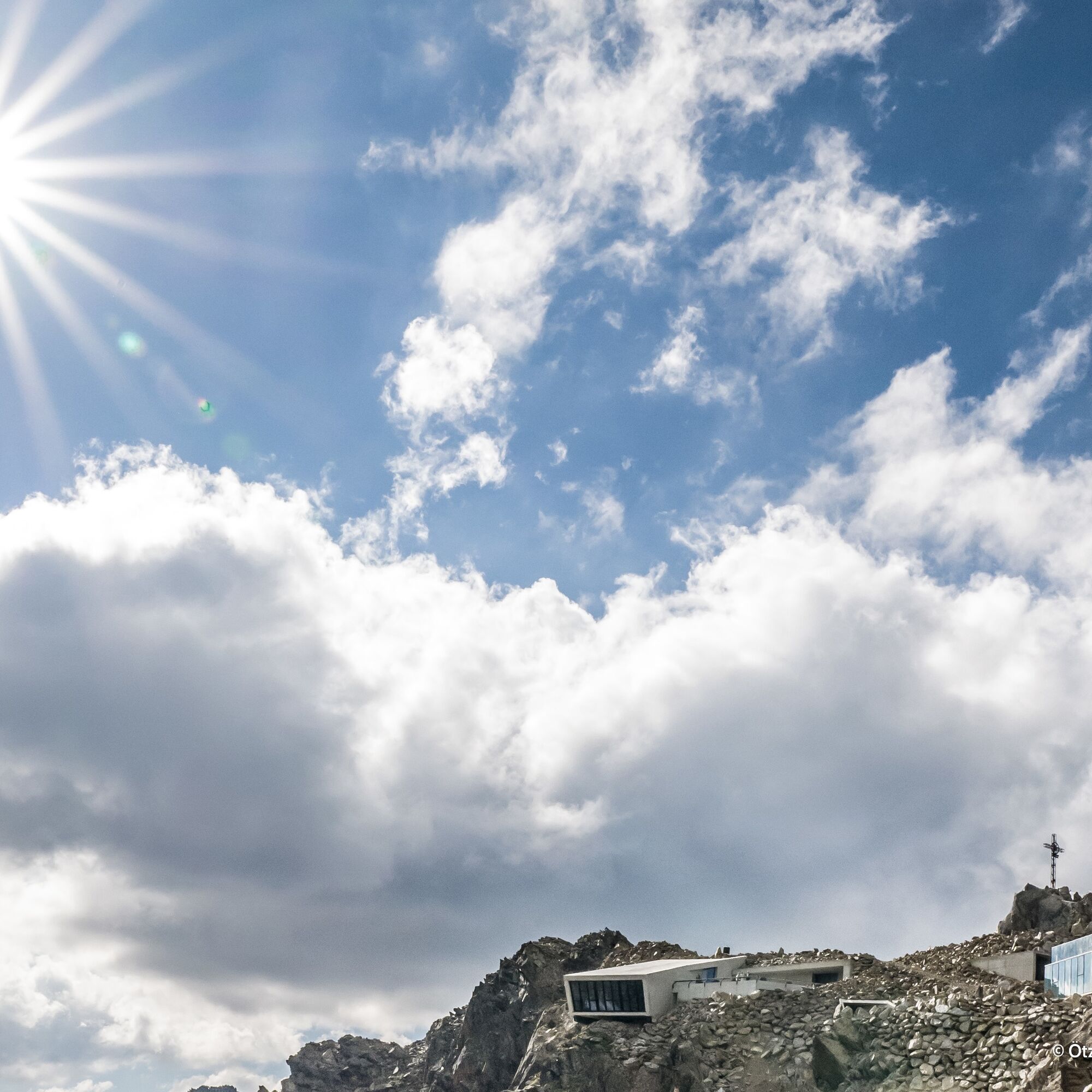
Once newcomers by car, motorcycle, bus, or bicycle have passed the highest point of the Glacier Road, they reach the parking lots located slightly below the lift facilities of the Tiefenbach Glacier. Sufficient parking spaces are also available near the Rettenbach glacier. Of course, arrival can also be comfortably made by glacier ski bus, especially in the autumn months. Once at the top, a warm, windproof jacket should not be missing, as weather at over 2,800 meters above sea level can sometimes bring surprises. This should also be taken into account before the drive; it is best to check the current route status and weather conditions in advance. The first winter onset does not take long to arrive at this altitude. The glacier road remains closed throughout the entire winter.
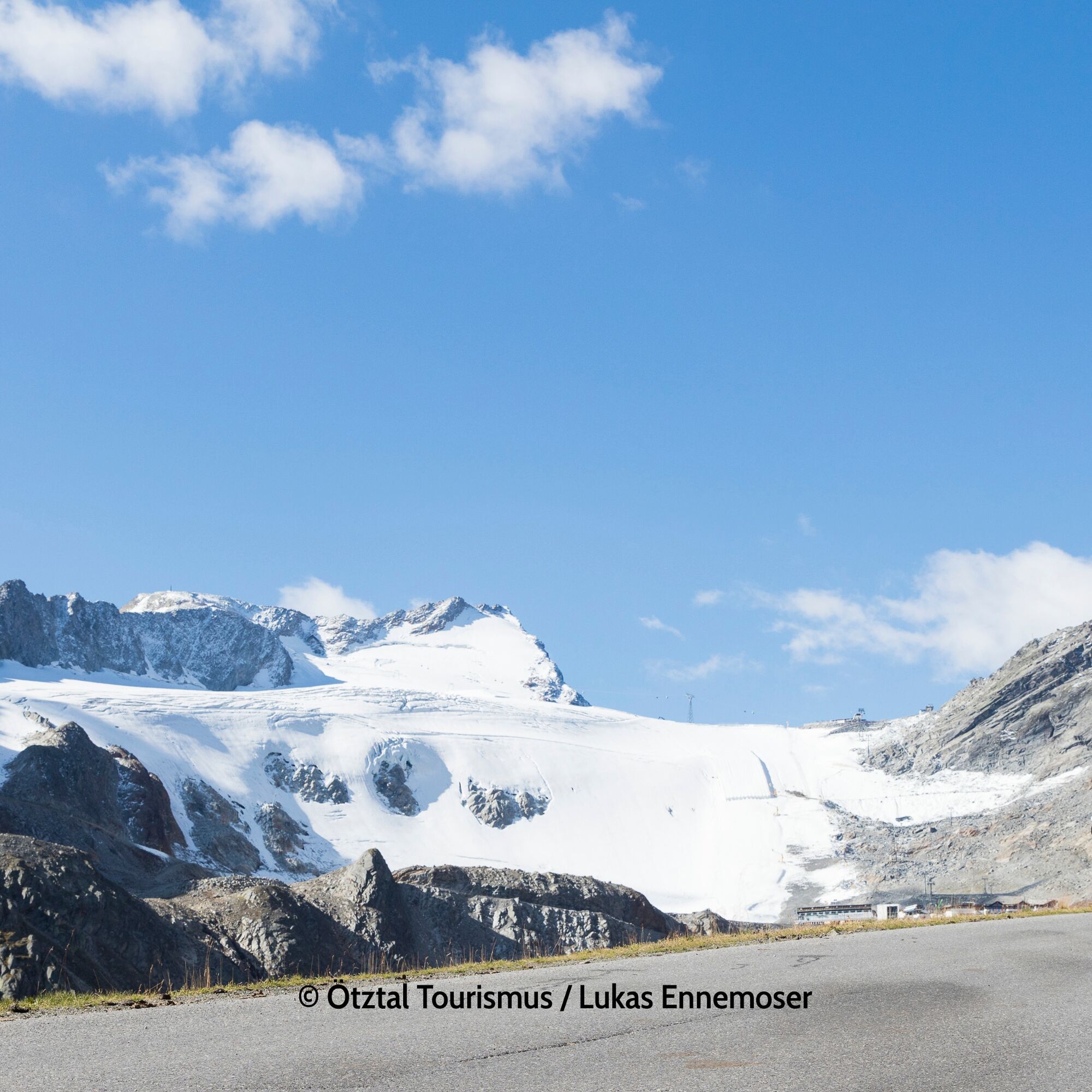
Gazing at the eternal ice of the glacier, the high alpine terrain shows itself ready for mountaineers and hikers in the summer months.
Kamery internetowe z trasy
Seekogel
Gaislachkogel
Schwarze Schneidbahn
Tiefenbachgletscher
Rettenbachgletscher
Alt Vent
Hochsölden
Sölden - Grünwald Resort
Vent
Vent
Sölden - Grünwald Resort
Vent
Giggijoch
Giggijoch
Schwarze Schneid Mittelstation
Sölden - Gaislachkogelbahn Mittelstation
Sölden - Schwarzkogl Talstation
Hochstubaihütte
Hochstubaihütte
Sölden - Tiefenbachkogl
Sölden
The Peak Sölden**** Chalets und Appartements

Popularne wycieczki w okolicy
- 4,8
Vent - Kreuzspitze
Wędrówka 20,6 km - 4,3
Amberger Hut - Längenfeld/Gries
średniWędrówka 5,60 km - 4,4
Hochtour Wildspitze, 3.768m
średniWycieczka wysokogórska 9,75 km - 4,7
Winter circular route Brandalm/Burgstein - Längenfeld 204
średniWędrówka zimą 5,44 km - 4,4
Rundwanderung Hängebrück3
światłoWędrówka 6,32 km - 3,1
Tiefenbachglacier - Mountaineering Village Vent
średniWędrówka 10,8 km - 4,5
Vent - Wilder Mann - Breslauer Hütte - Stableinalm
średniWędrówka 7,25 km - 4,1
Hohe Geige über Gawinden und den Westgrat
ciężkiWędrówka 14,3 km - 5,0
Obergurgl - Ramolhaus
Wędrówka 7 km - 5,0
Nissl Alm - Längenfeld/Gries
światłoWędrówka 5,17 km
Wędrówki i tropienie


Nie przegap ofert i inspiracji na następne wakacje
Twój adres e-mail została dodana do listy mailingowej.