







Absamer via ferrata

Poziom trudności: C
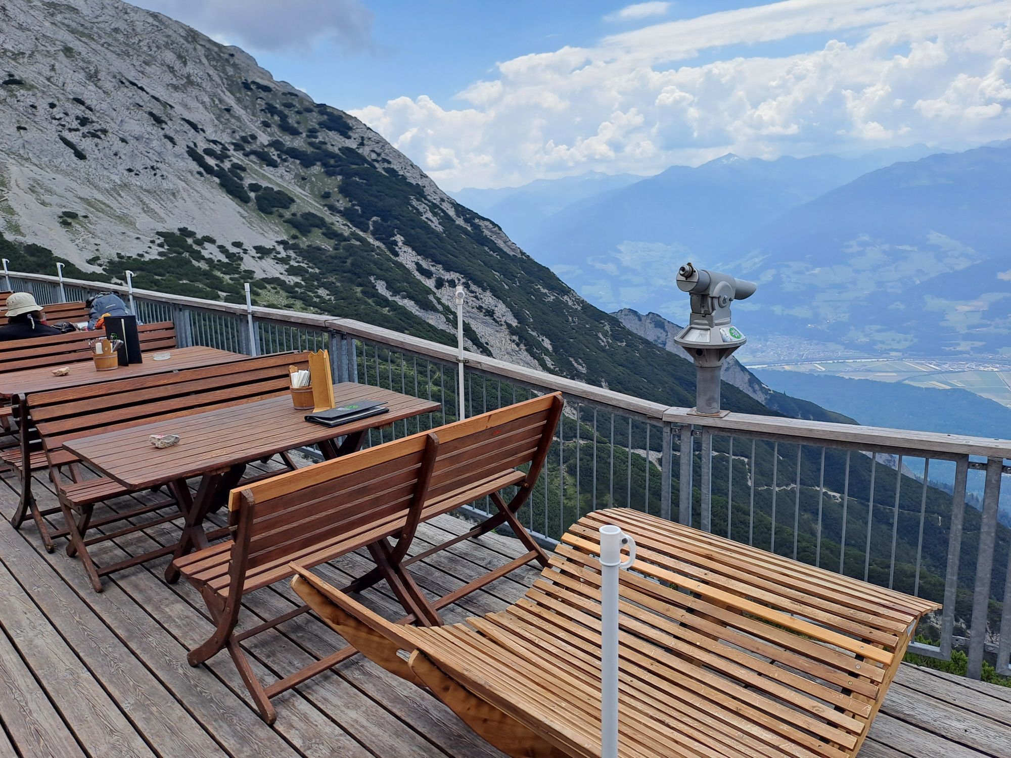
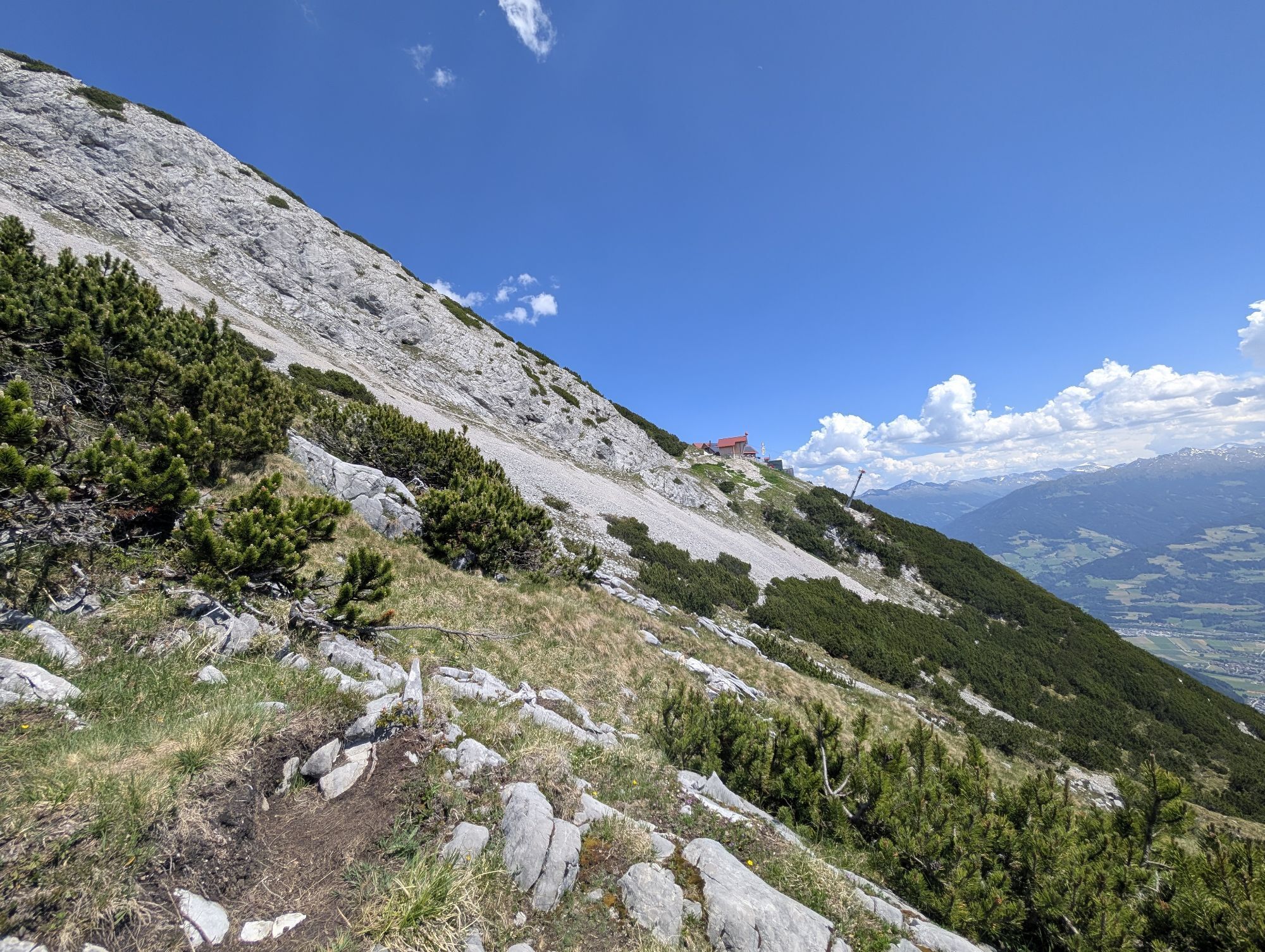
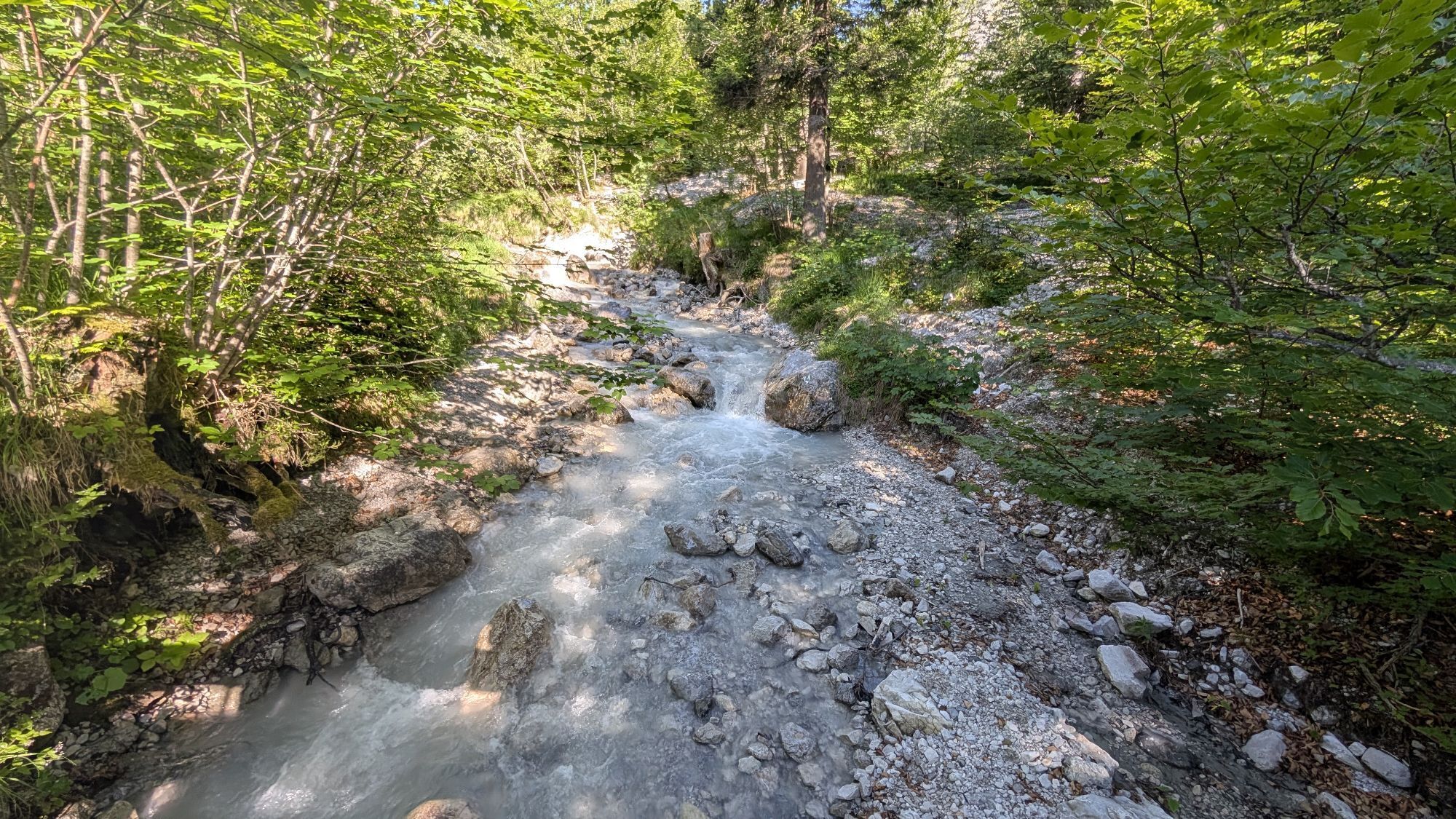
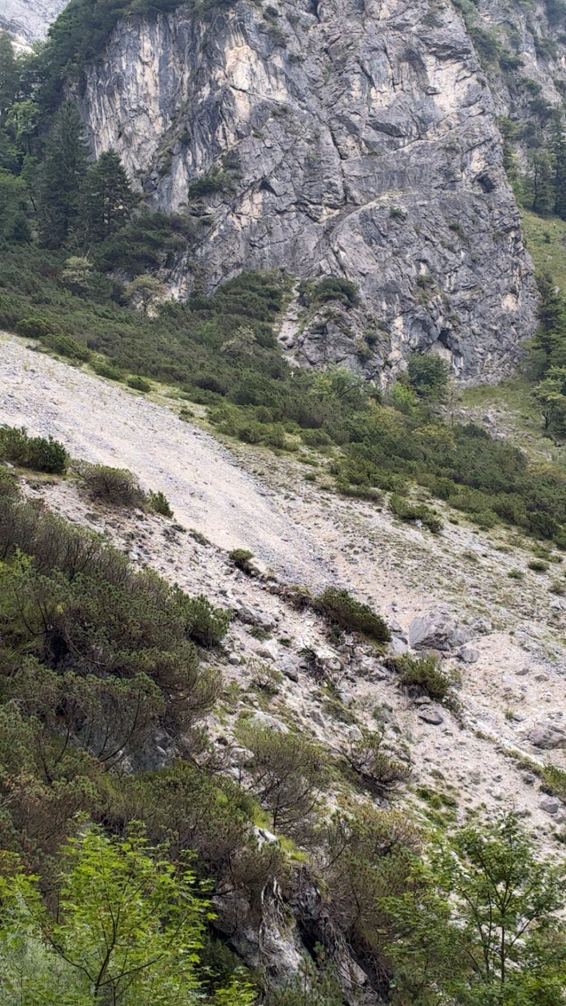
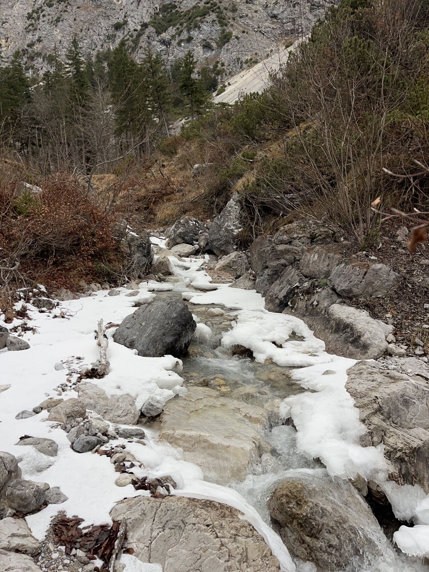
After a short walk to the start, it goes up the via ferrata, which requires good physical condition!

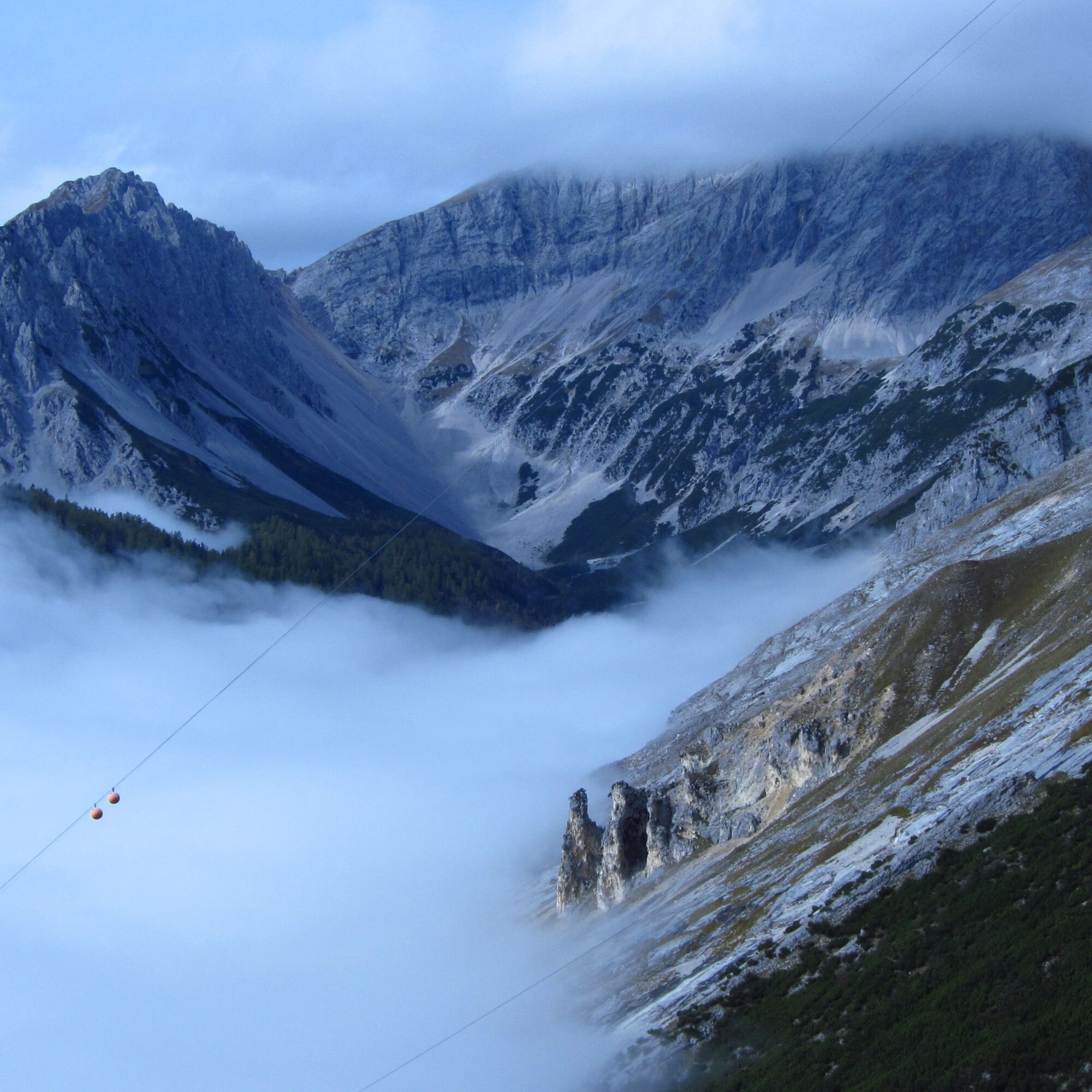
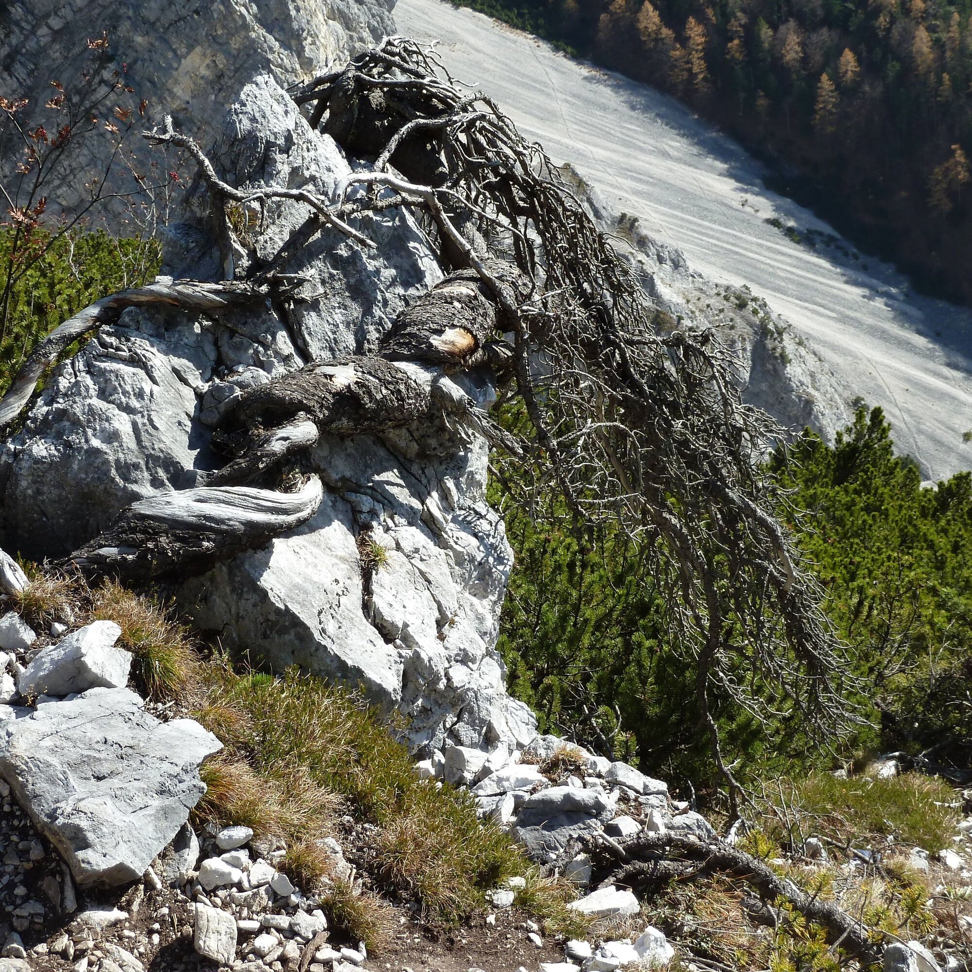
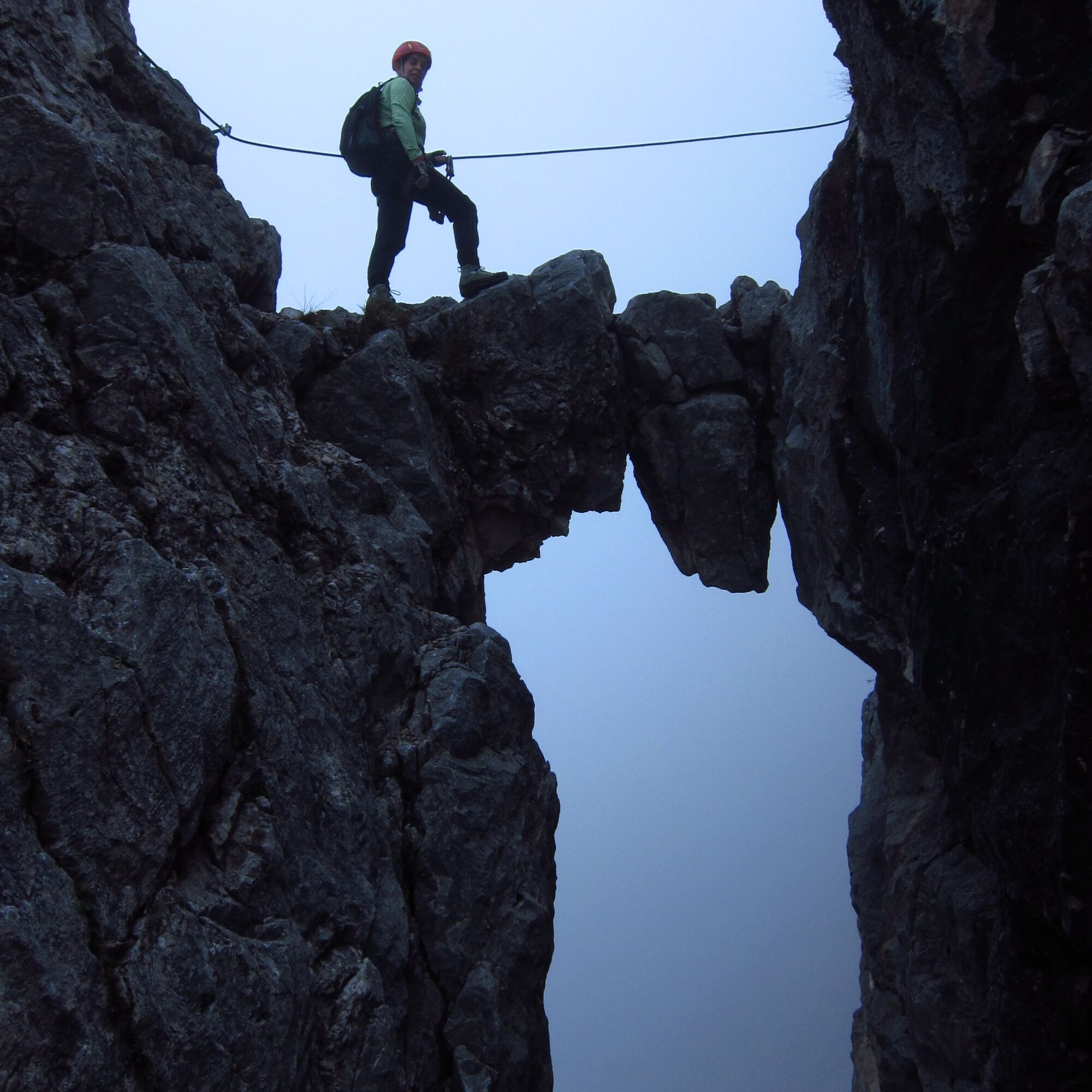
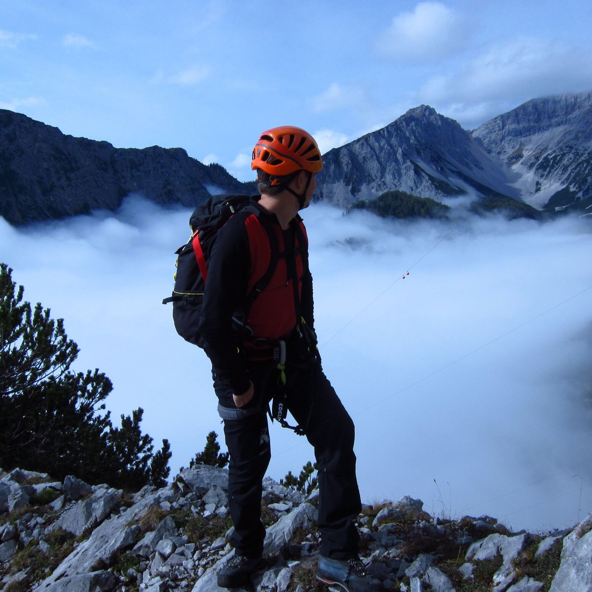

From the entrance Halltal to the 2nd Ladhütte and further to the start, it takes about 1 hour. The difficulty rating of the via ferrata is generally A and B, the most difficult sections are rated C. Shortly after the start before the clamping block, there is a key section with difficulty C. Since this via ferrata features a total altitude difference of 1,000 m and a walking time of 4.5 hours, it represents a very alpine route and requires not only skill but also special physical condition. From the exit of the via ferrata to the Bettelwurfhütte is still an ascent of about 1 hour (approx. 300 m altitude). Besides the right equipment, snacks and drinks, we strongly recommend thorough route planning. The descent can be done via the normal path no. 222 or the Lafatscher Joch (longer).
The use of the via ferrata is permitted depending on the opening hours of the Bettelwurfhütte.
Via ferrata equipment can be rented from ÖAV as a member! (Also DAV)
Contact: ÖAV Ibk., 6020 Innsbruck, Meinhardstr.7-11 (opposite the Chamber of Commerce), Tel. 0512/587828
Opening hours:
Mon-Fri 9:00 - 17:00
Mon and Thu until 19:00
The use of the via ferrata is permitted depending on the opening hours of the Bettelwurfhütte.
- the via ferrata must be undertaken responsibly
- alpine experience and good physical condition required
- use via ferrata equipment (via ferrata set, helmet, mountaineering boots, gloves)
- watch out for falling rocks
- special caution when crossing the gorge
- no emergency exits available, do not exit sideways!
- do not start in bad weather (thunderstorms)
- observe the turning point at the key section Alpine emergency number: 140 or 112
- observe color markings!
Halltal Absam
Bus Absam/Eichat Bettelwurfsiedlung
There is a parking lot at the entrance to Halltal
C
- thorough route planning (fitness, skill, weather)
- proper equipment, drink, provisions
- climb efficiently to save strength
- keep distances and be considerate of other climbers
- partner check at the start (hand check):
• climbing harness properly worn
• via ferrata set properly attached
• proper function of the via ferrata set
• helmet on the head



Popularne wycieczki w okolicy
- 4,6
Halltal - Bettelwurfhütte - Kleiner und Großer Bettelwurf
ciężkiWycieczka wysokogórska 16,2 km - 4,7
Wanderung zum Isarursprung und Kastenalm
światłoWędrówka 14,0 km - 4,8
Rundwanderung Gleirschklamm
średniWędrówka 13,2 km - 4,7
Hinterriss - Eng - Falkenhütte
średniWędrówka 6,88 km - 4,8
Felix-Kuen via ferrata on the Hundskopf
ciężkiVia ferrata 2,18 km - 4,7
3 Almen Karwendelrunde MTB Route 408
ciężkiMountainbike 23,8 km - 4,8
Karwendelmarsch Route
ciężkiWędrówka 51,4 km - 5,0
Gleirschklamm
średniWędrówka 15,4 km - 4,9
Patscherkofel Gipfelrunde mit Zirbenweg
światłoWędrówka 6,52 km - 4,8
Seegrube - Hungerburg
średniWędrówka 5,04 km

Wędrówki i tropienie


Nie przegap ofert i inspiracji na następne wakacje
Twój adres e-mail została dodana do listy mailingowej.





