







Carnic High Route
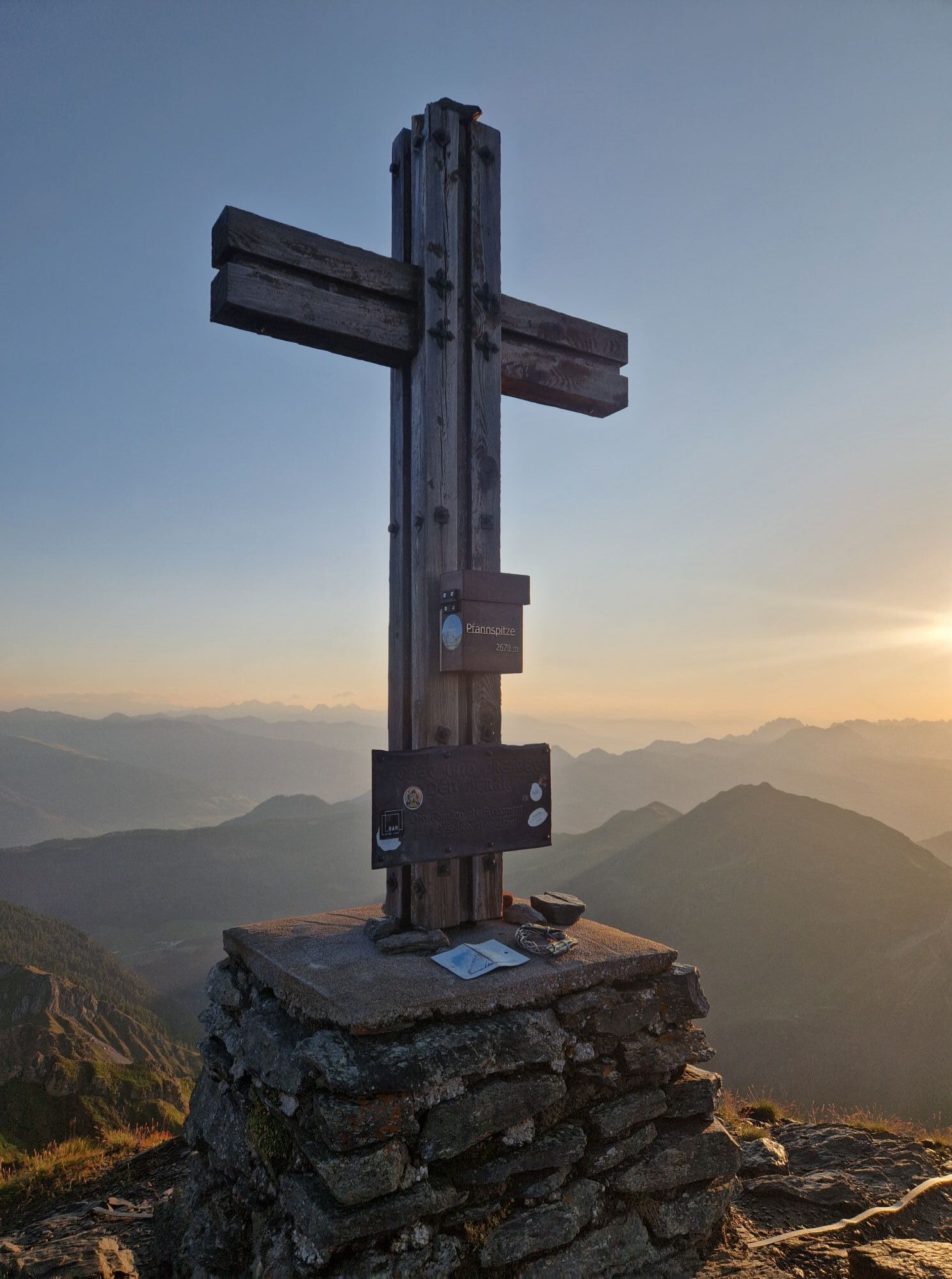
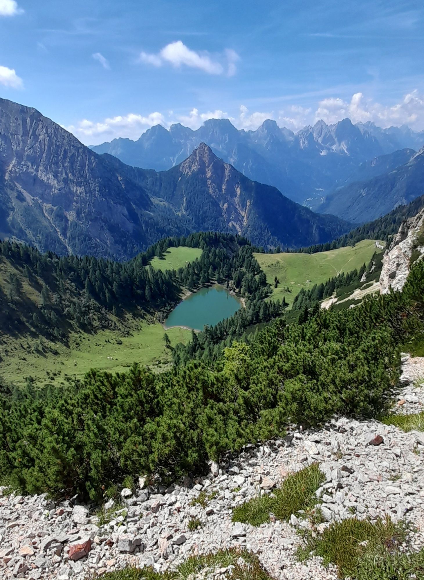
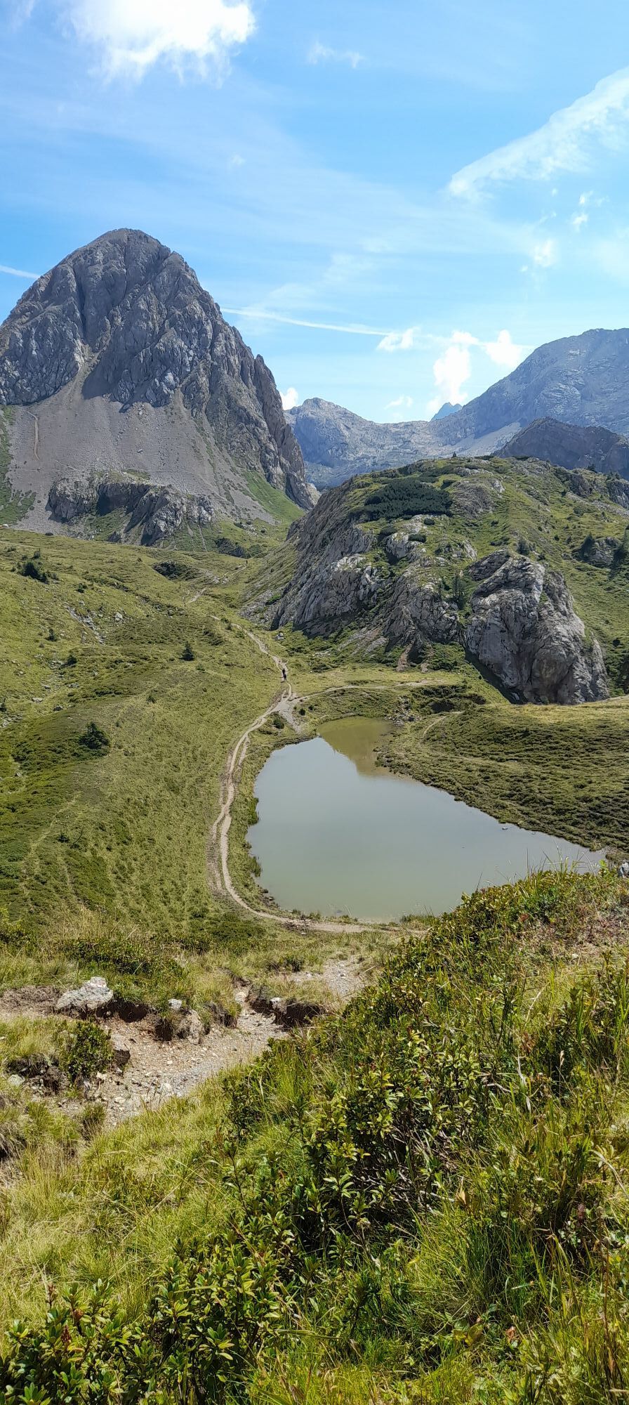
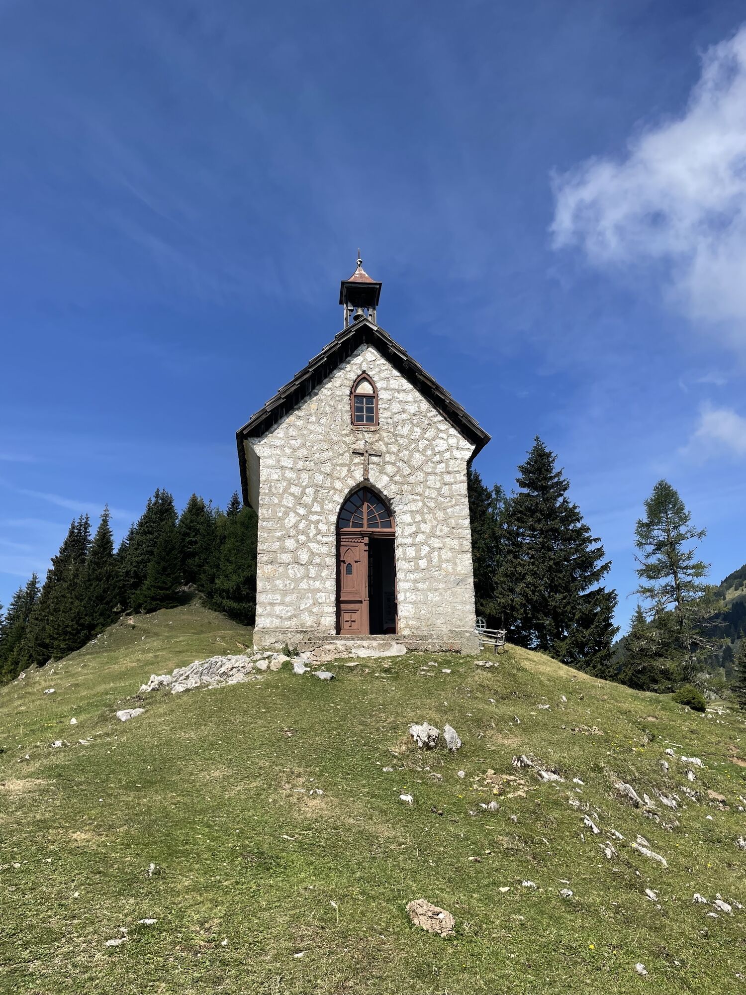
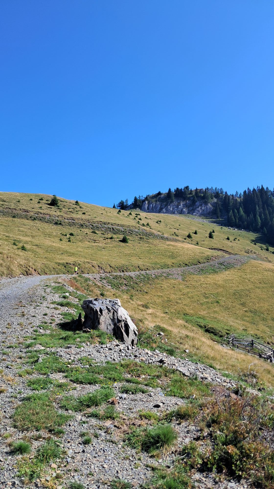
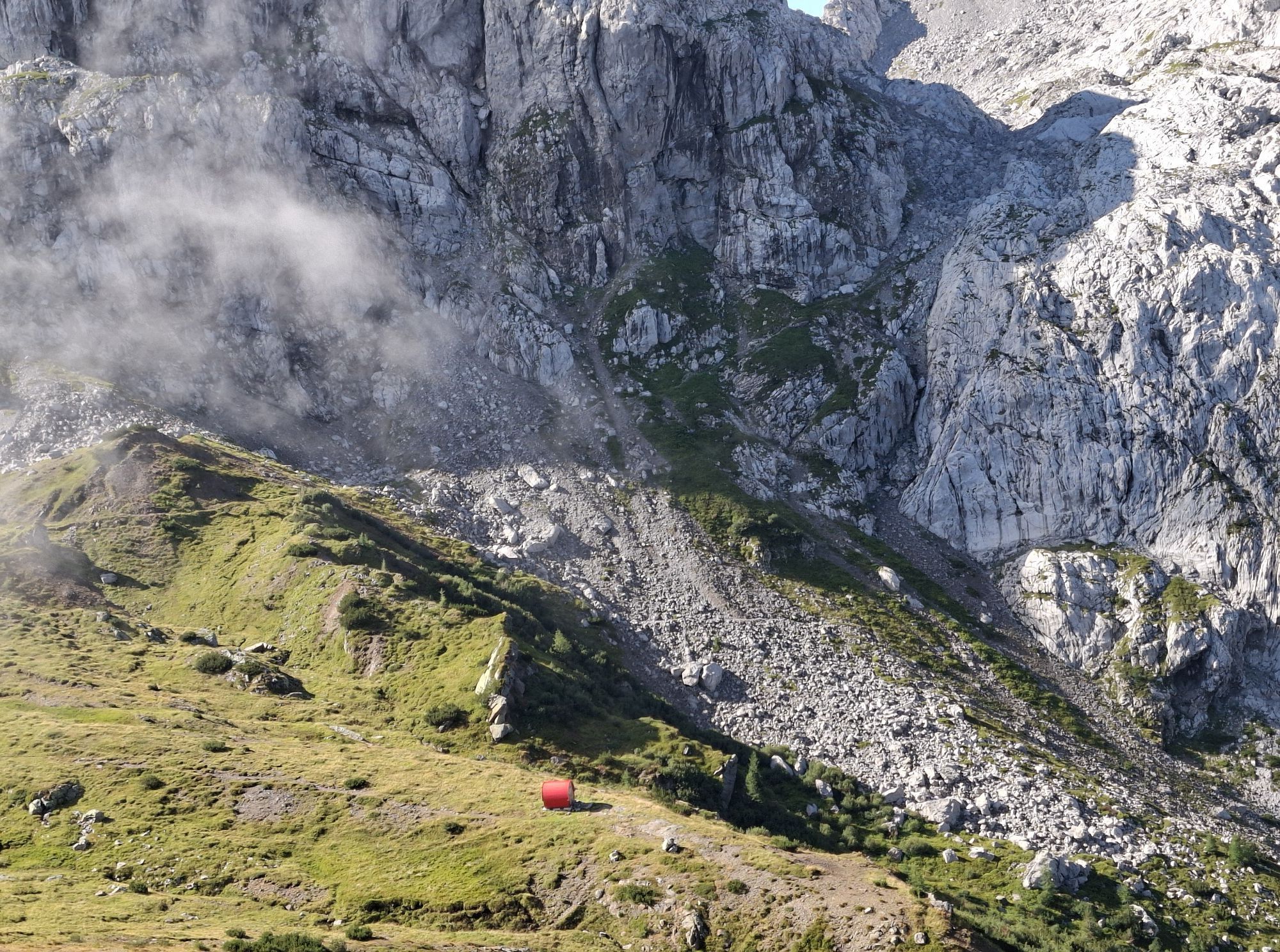
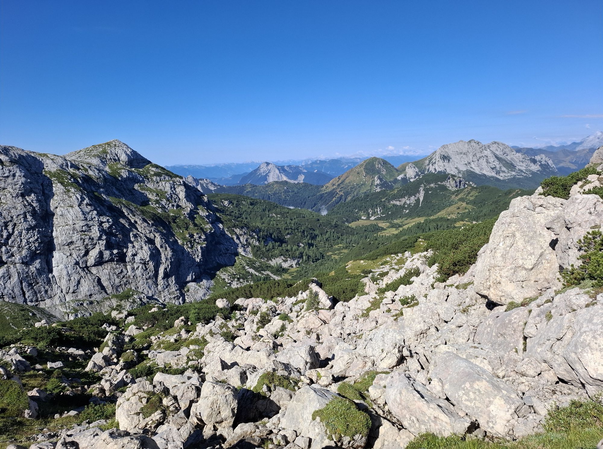
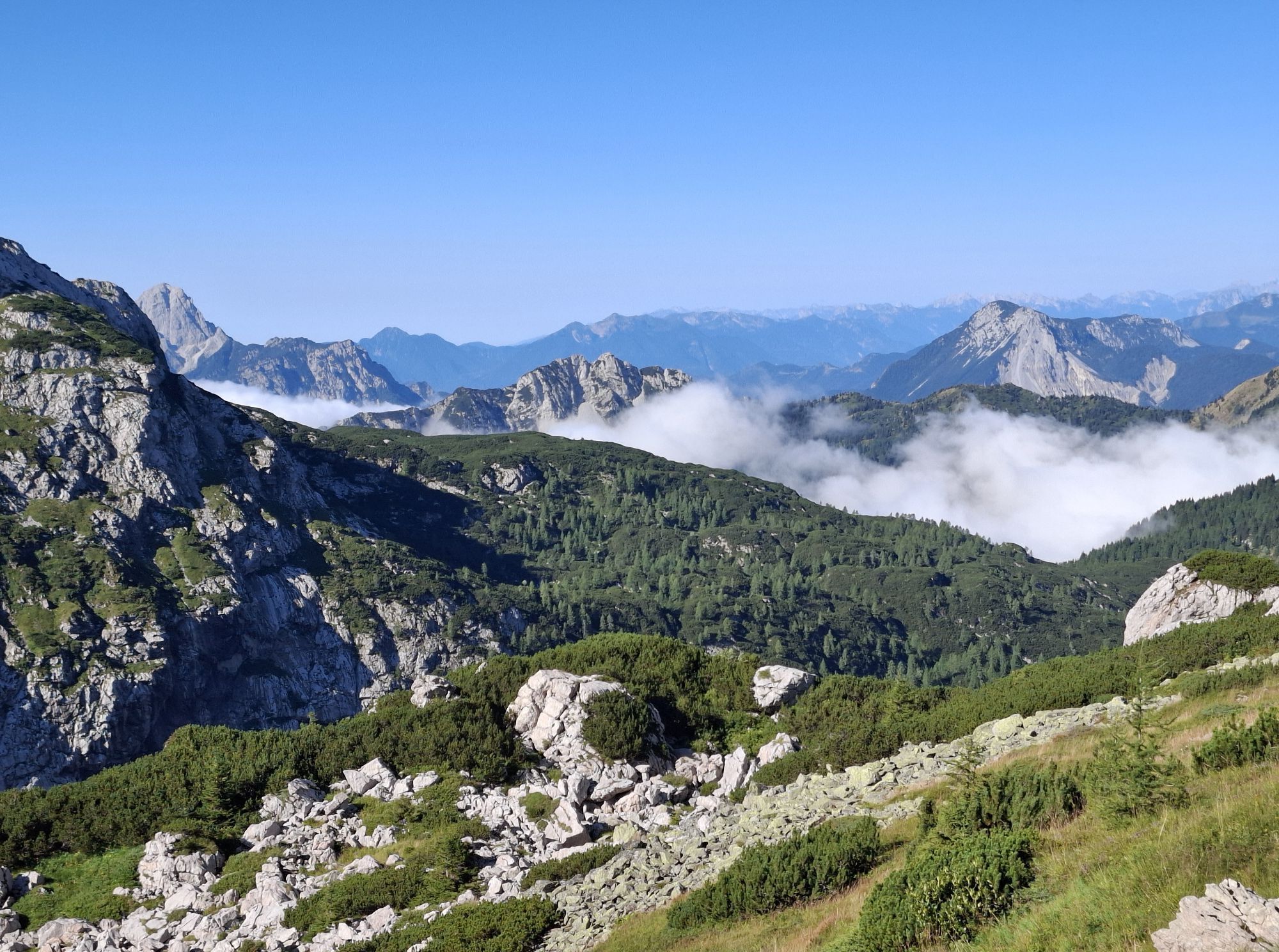
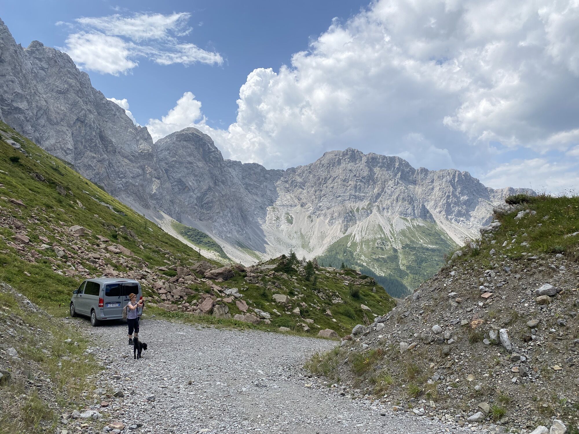
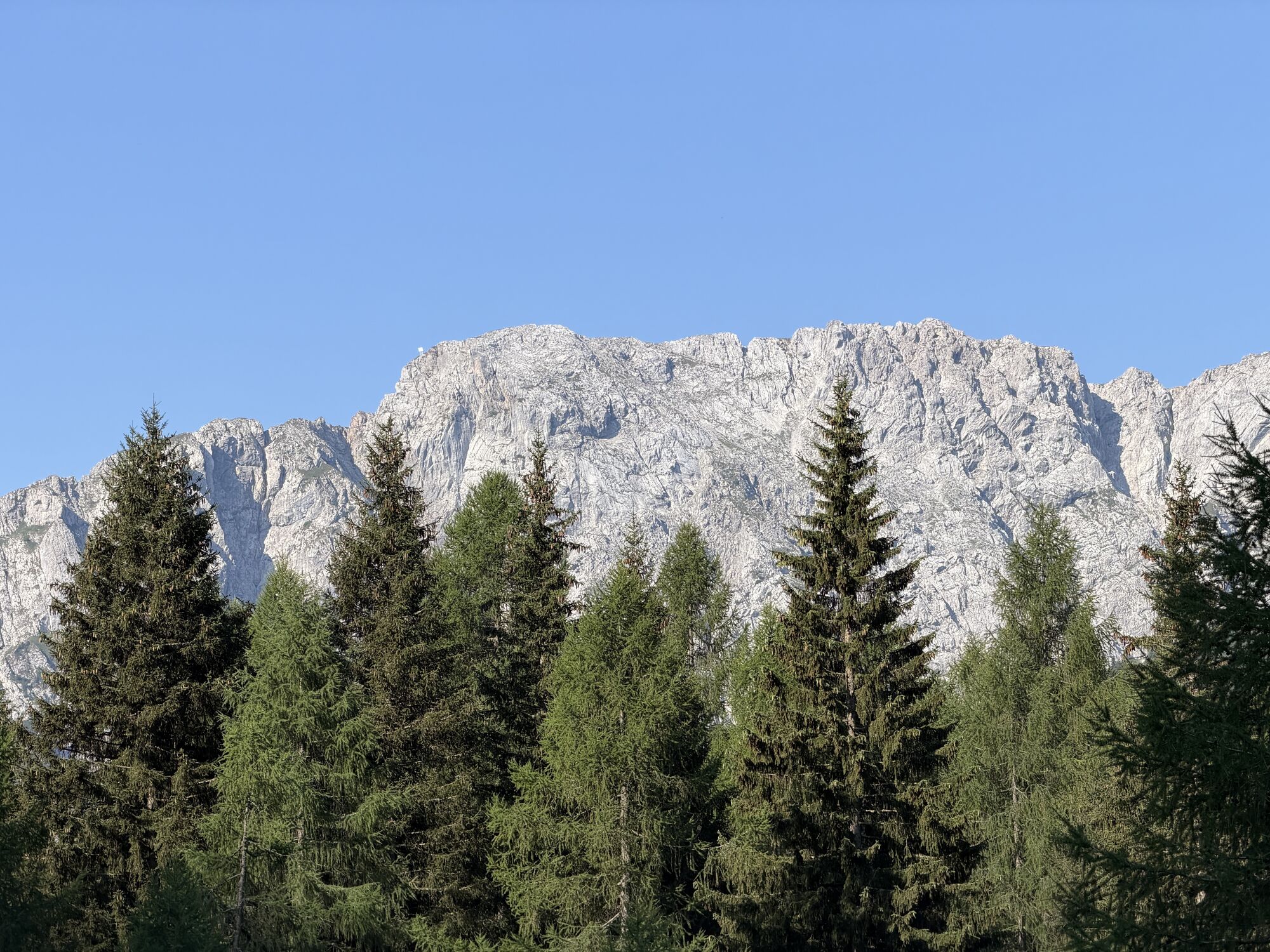
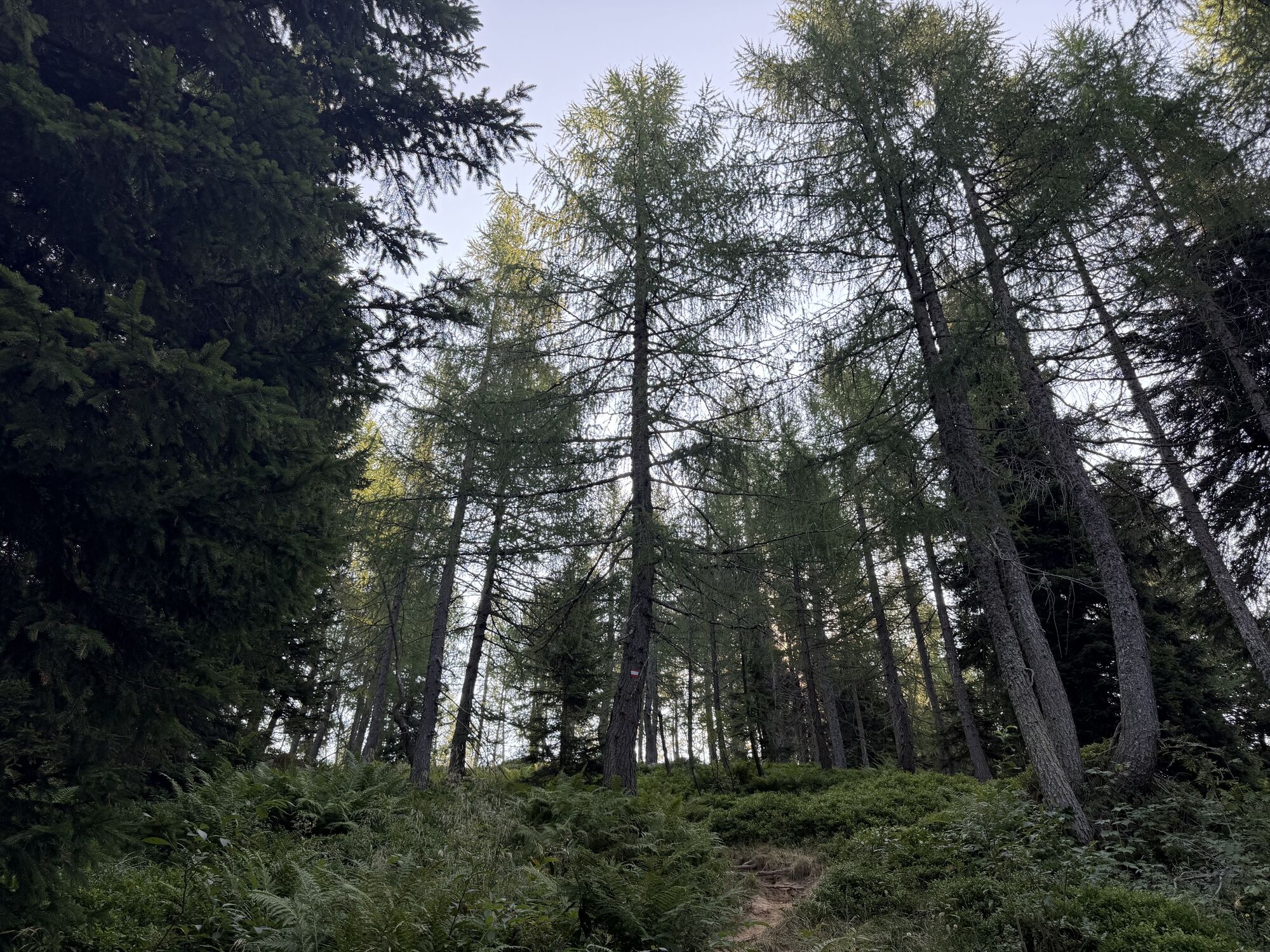
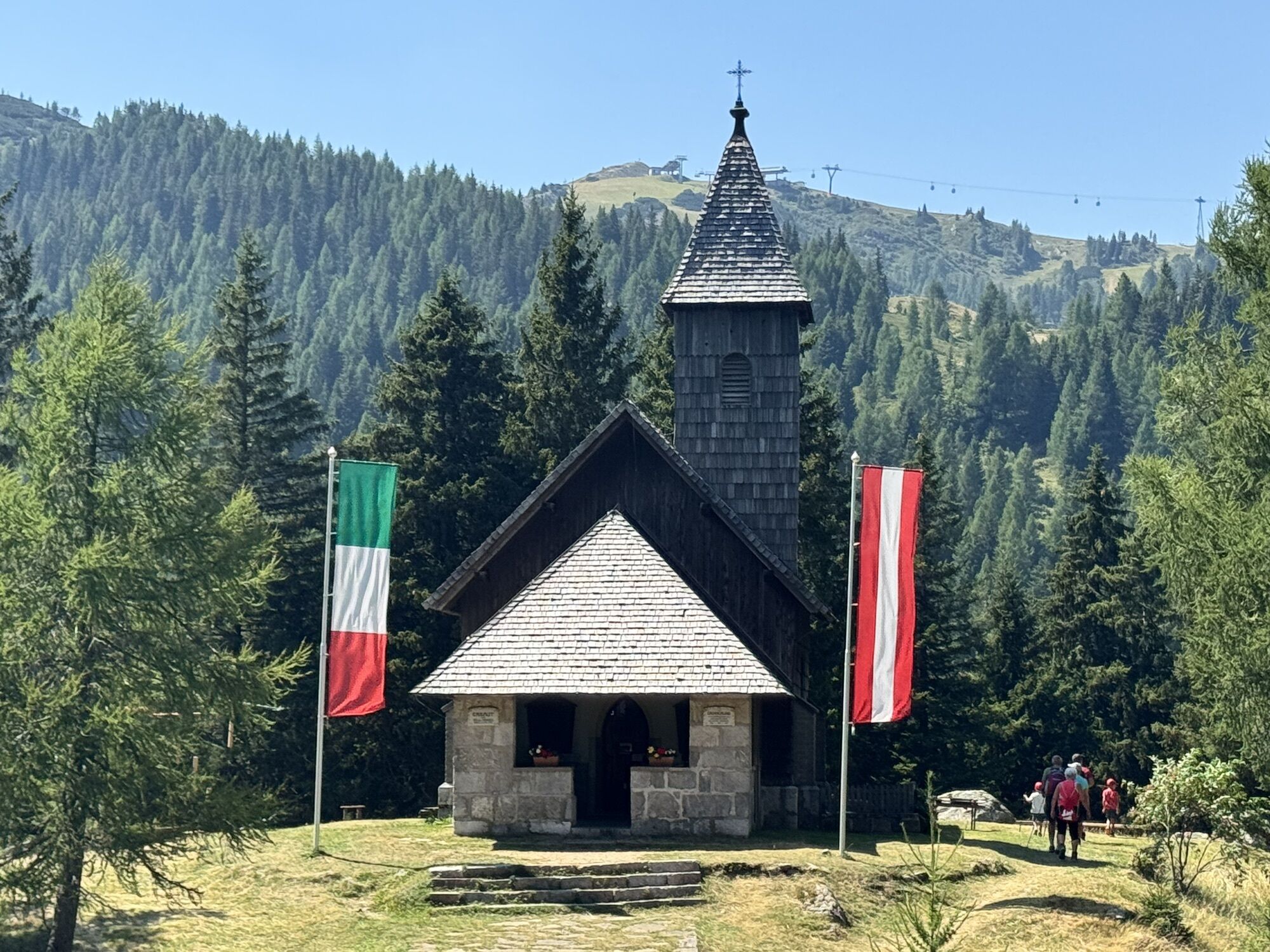
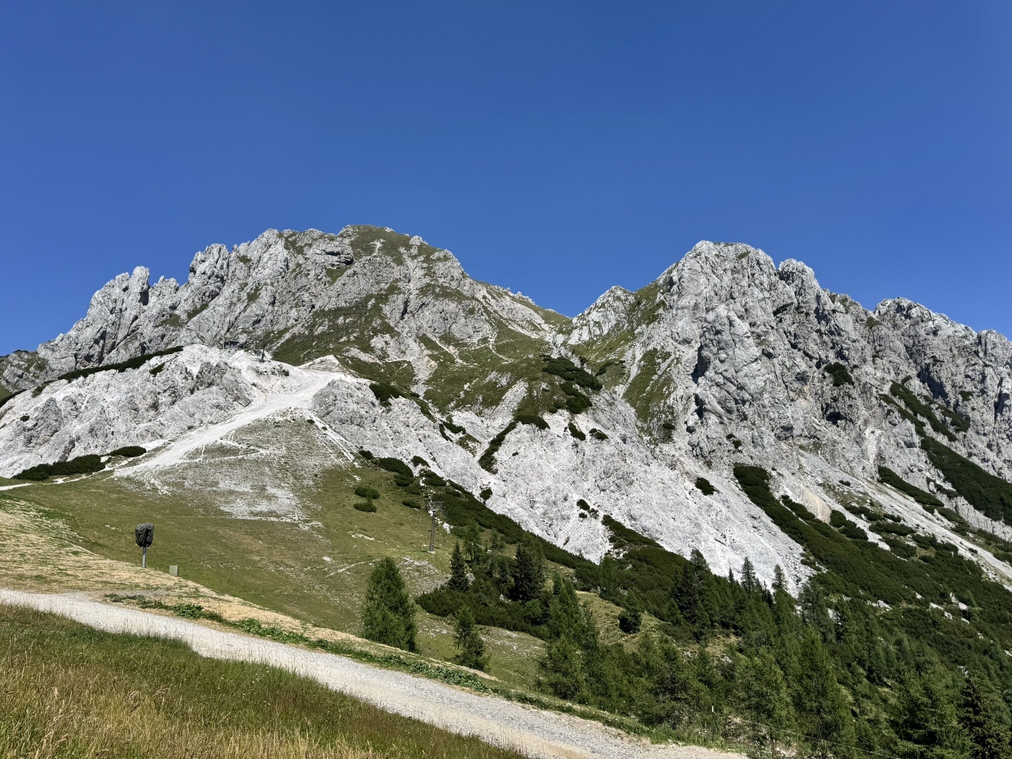
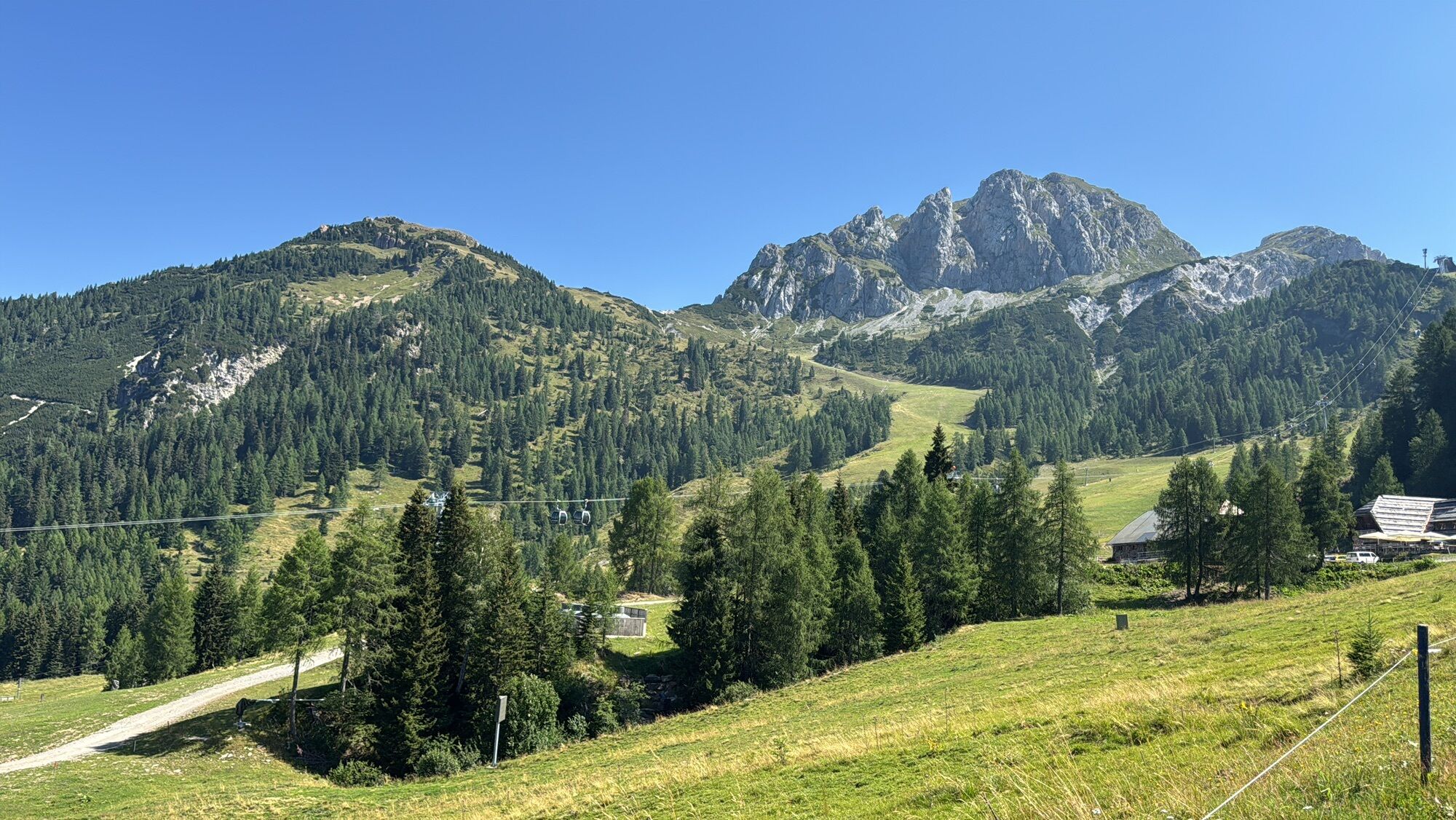
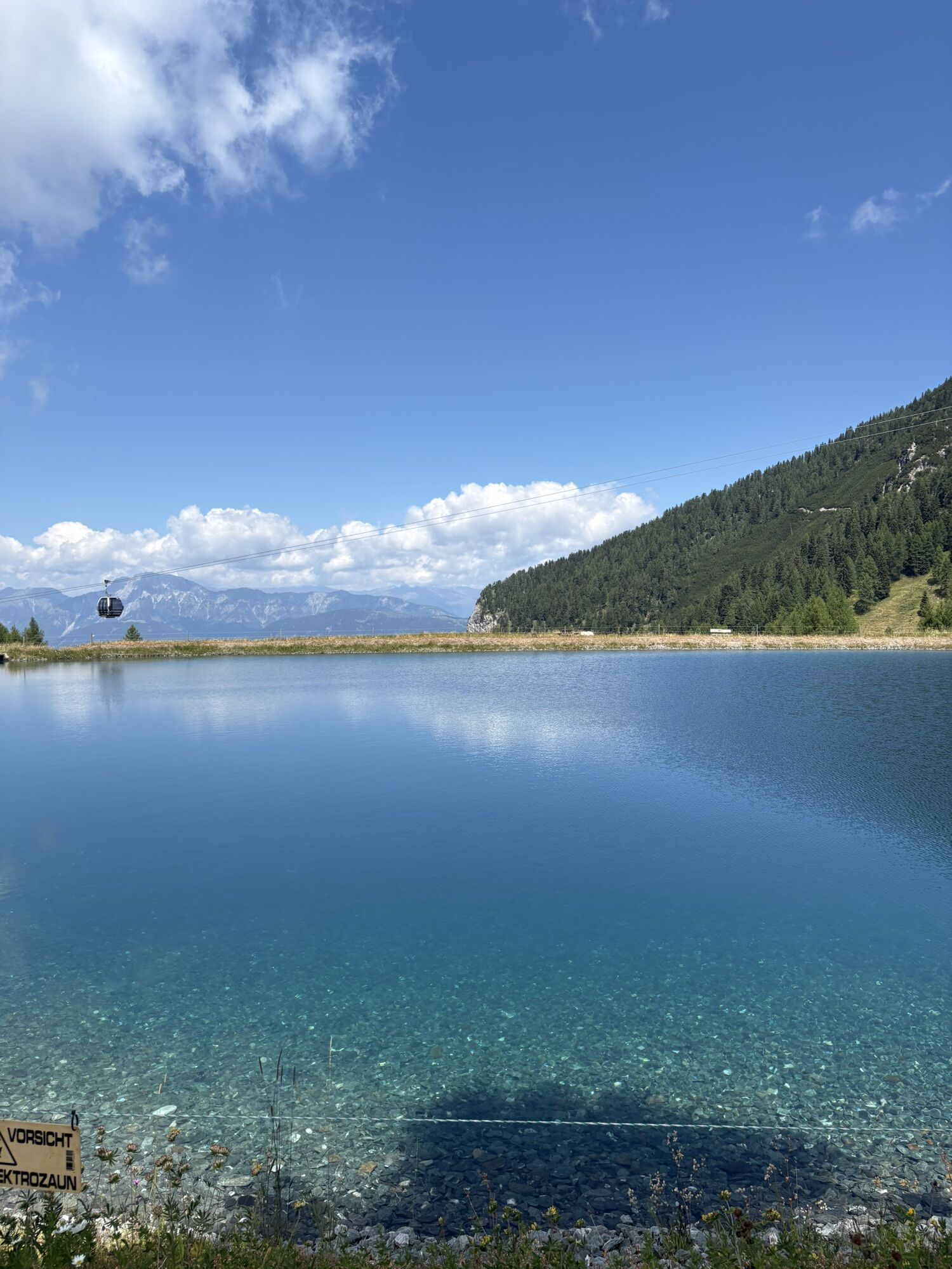
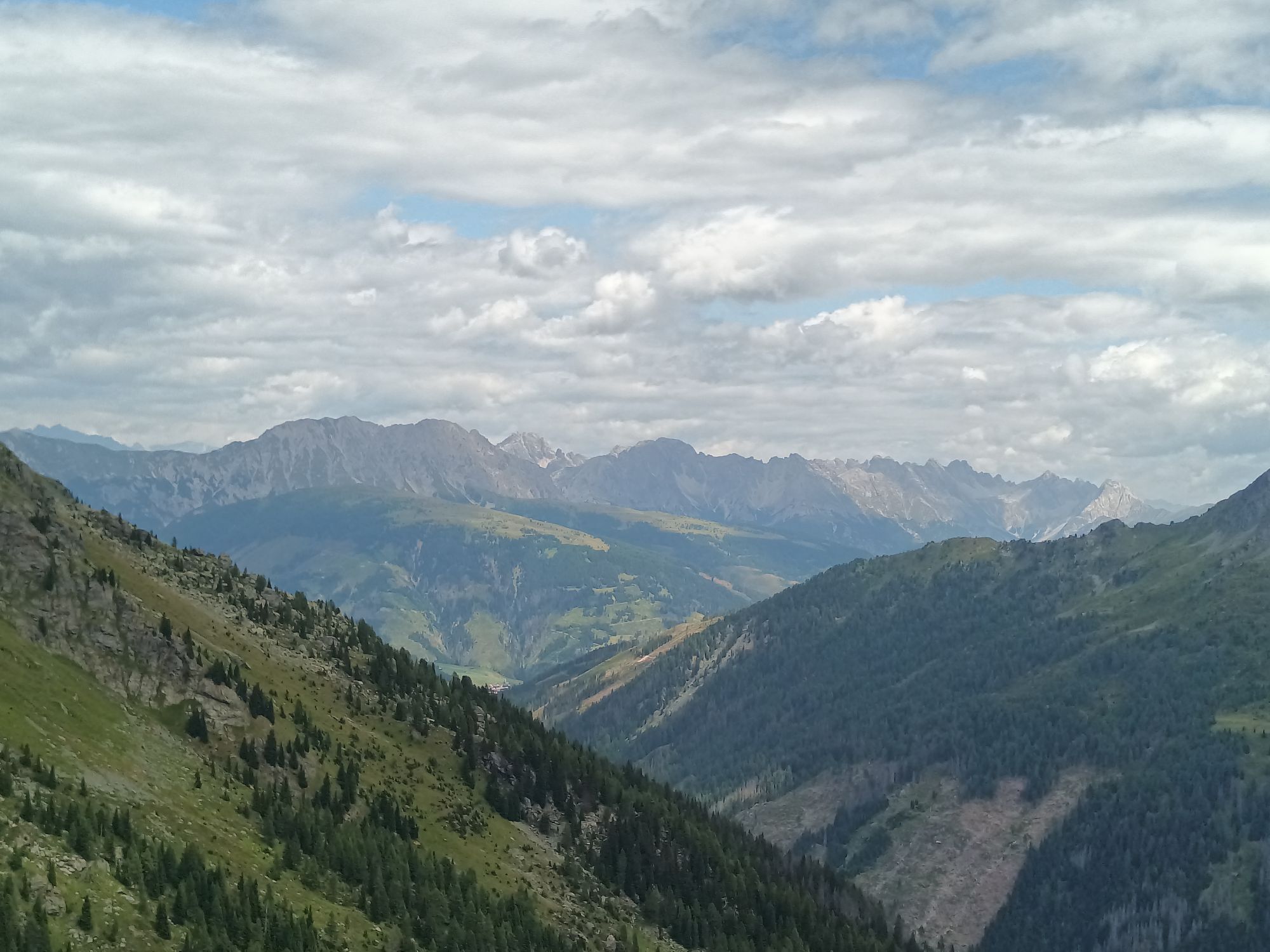
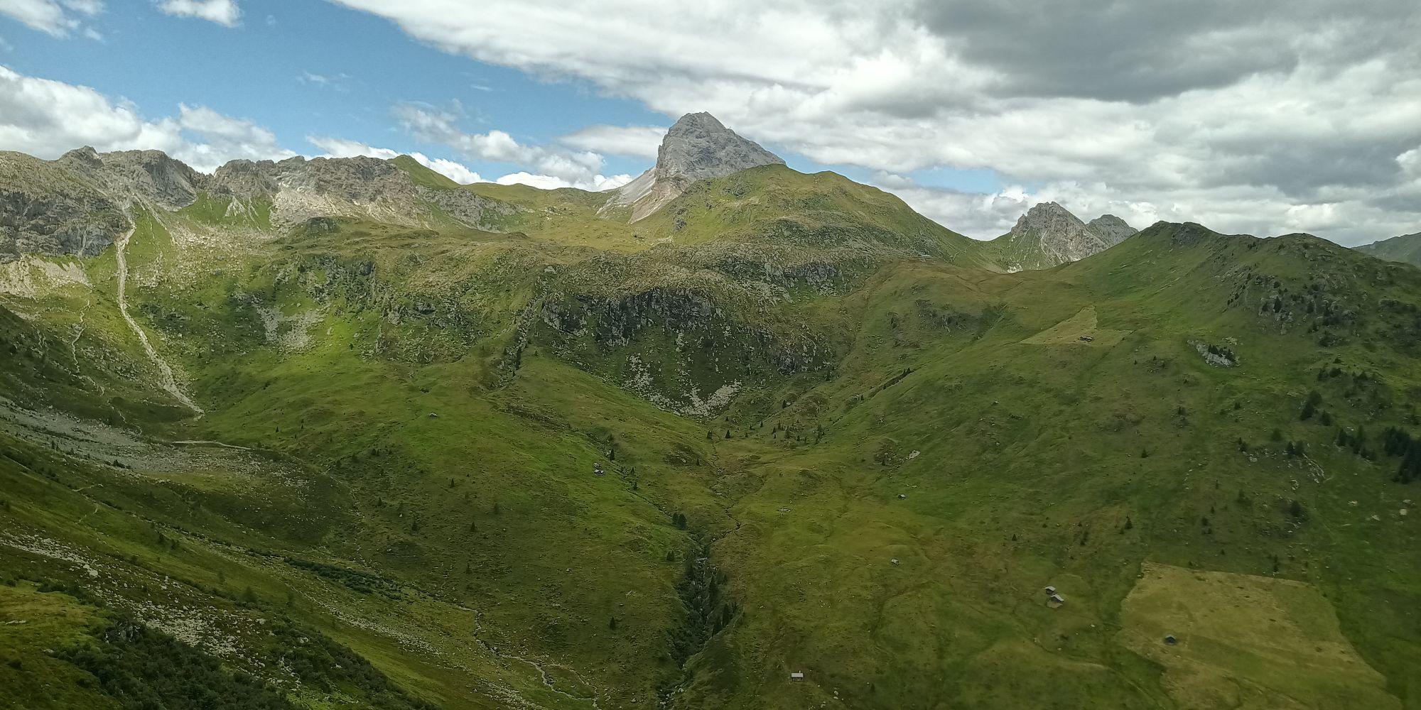
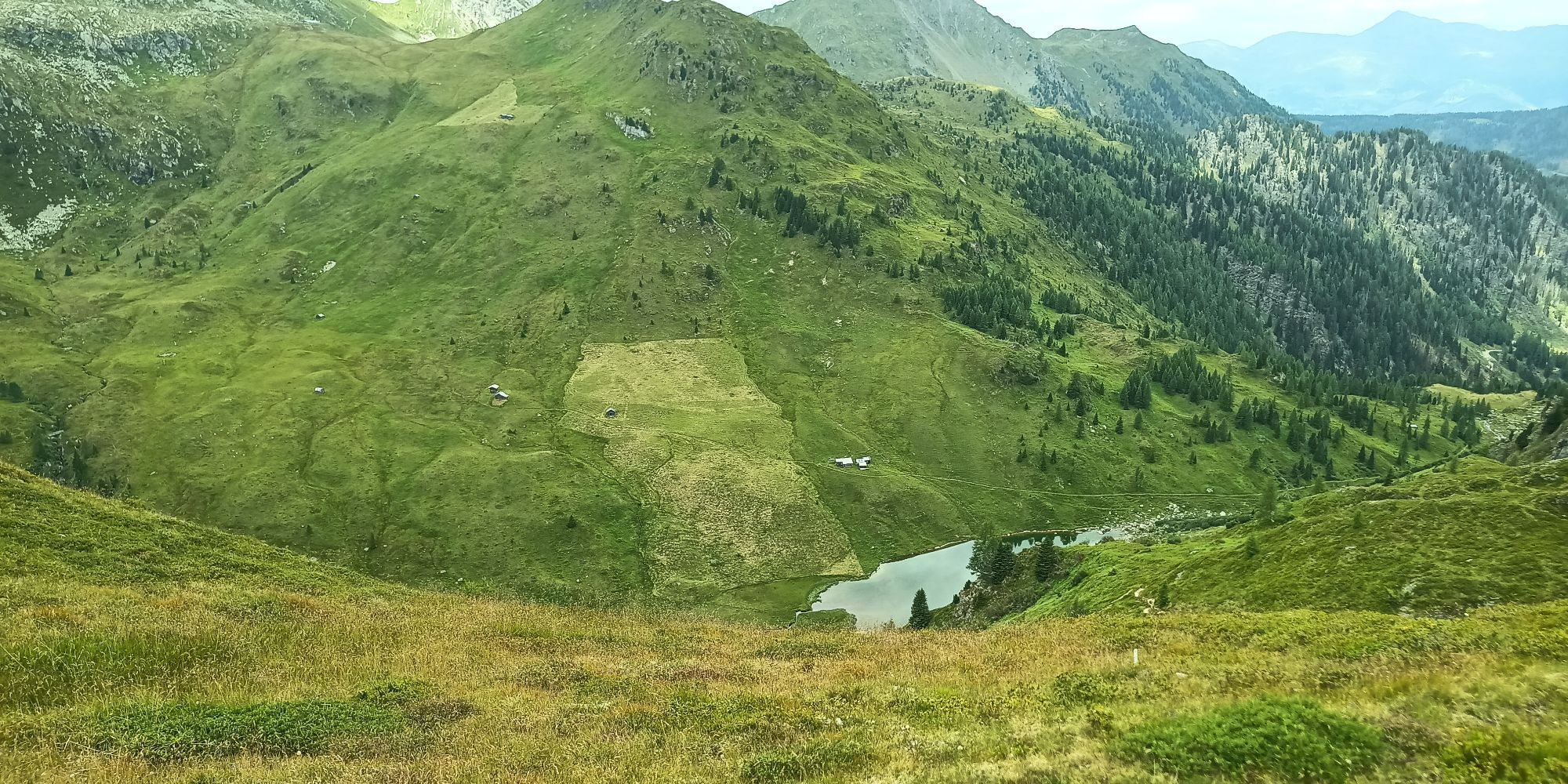
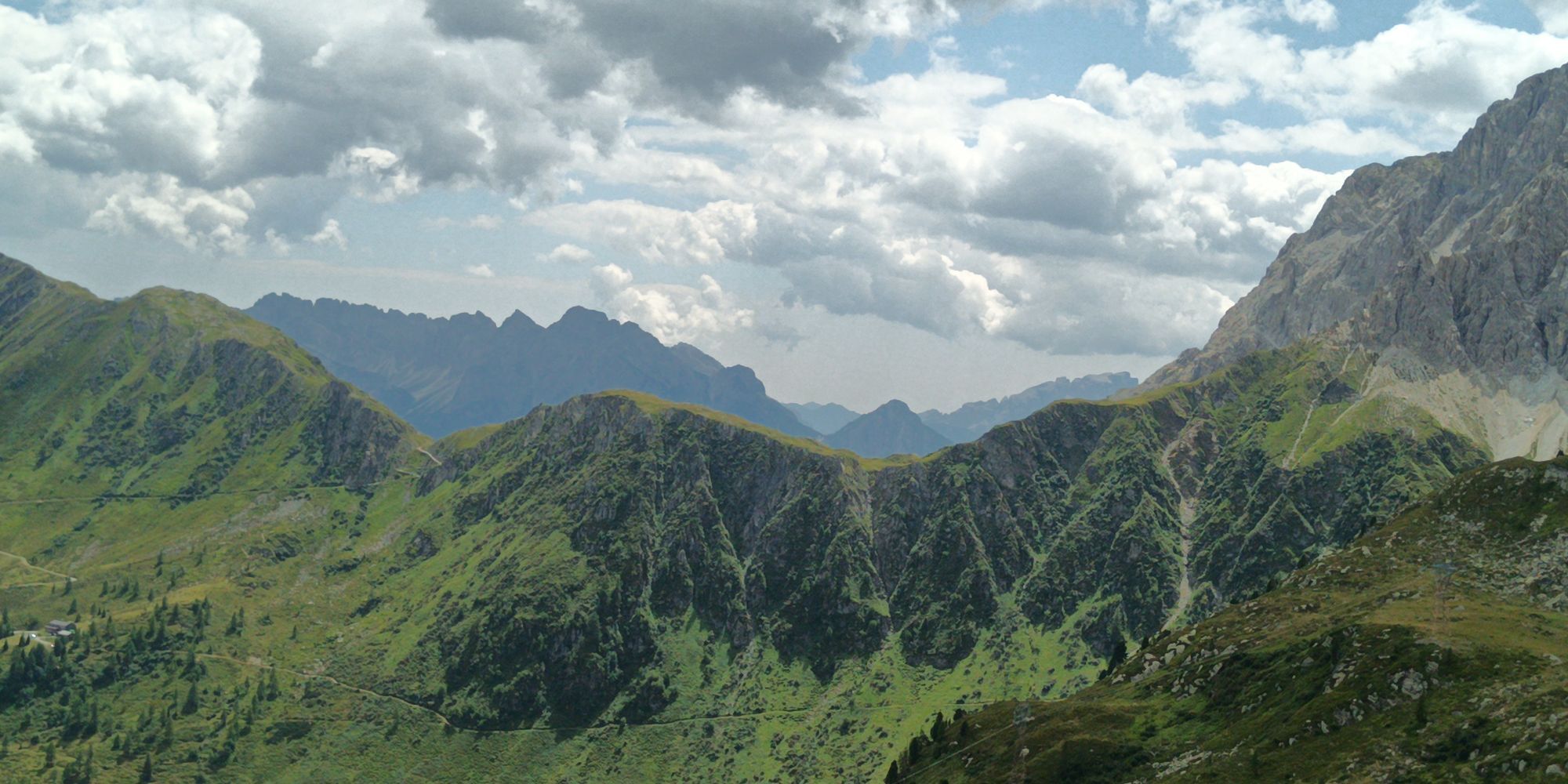
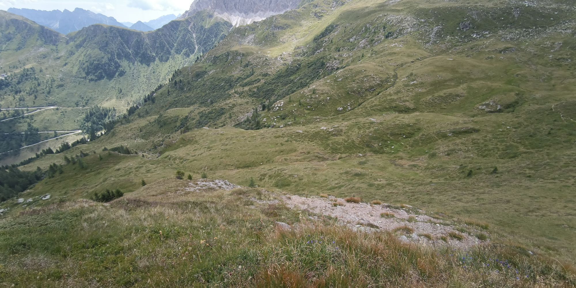
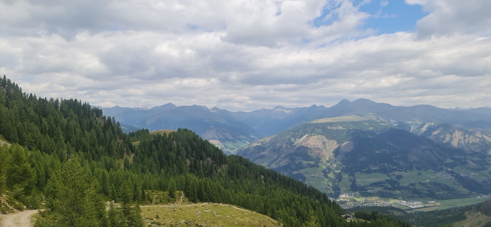
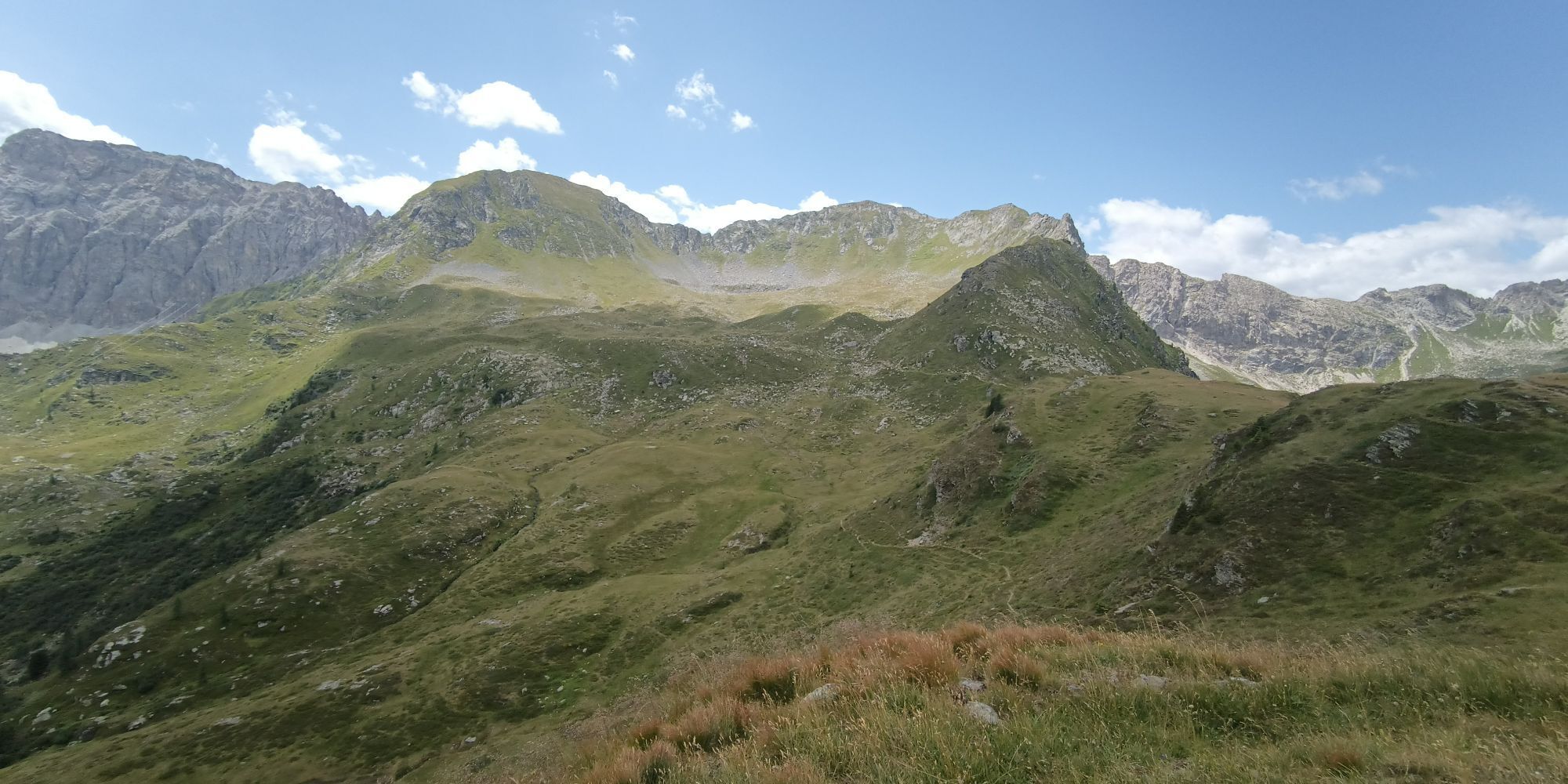
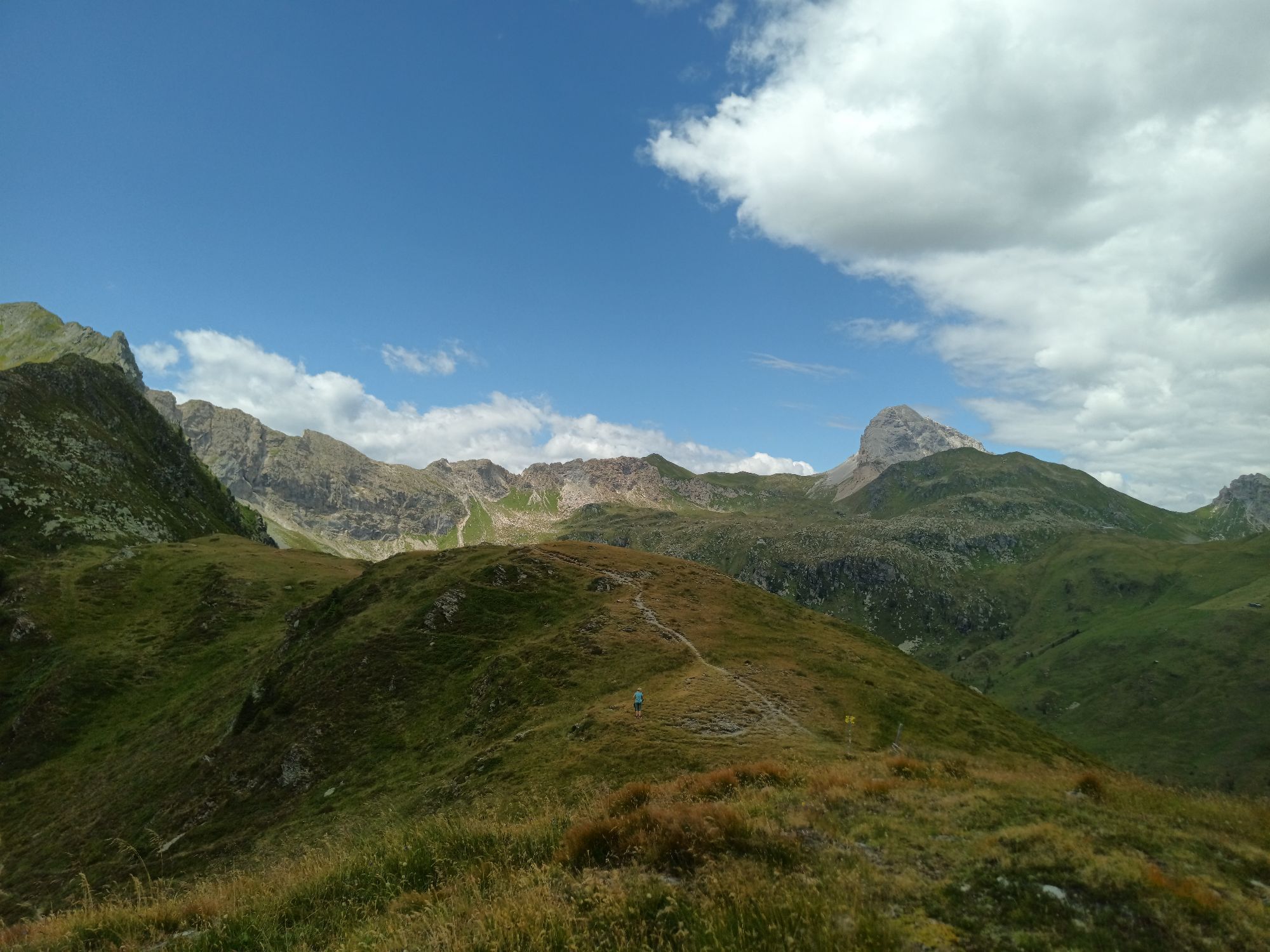
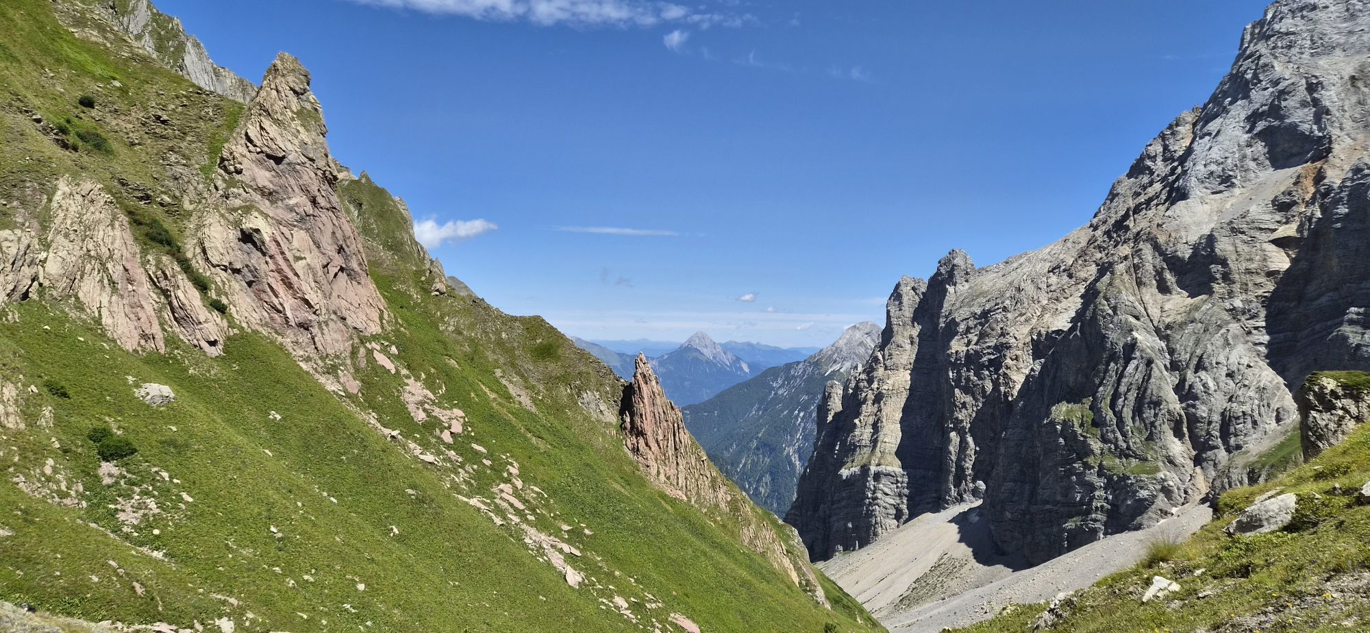
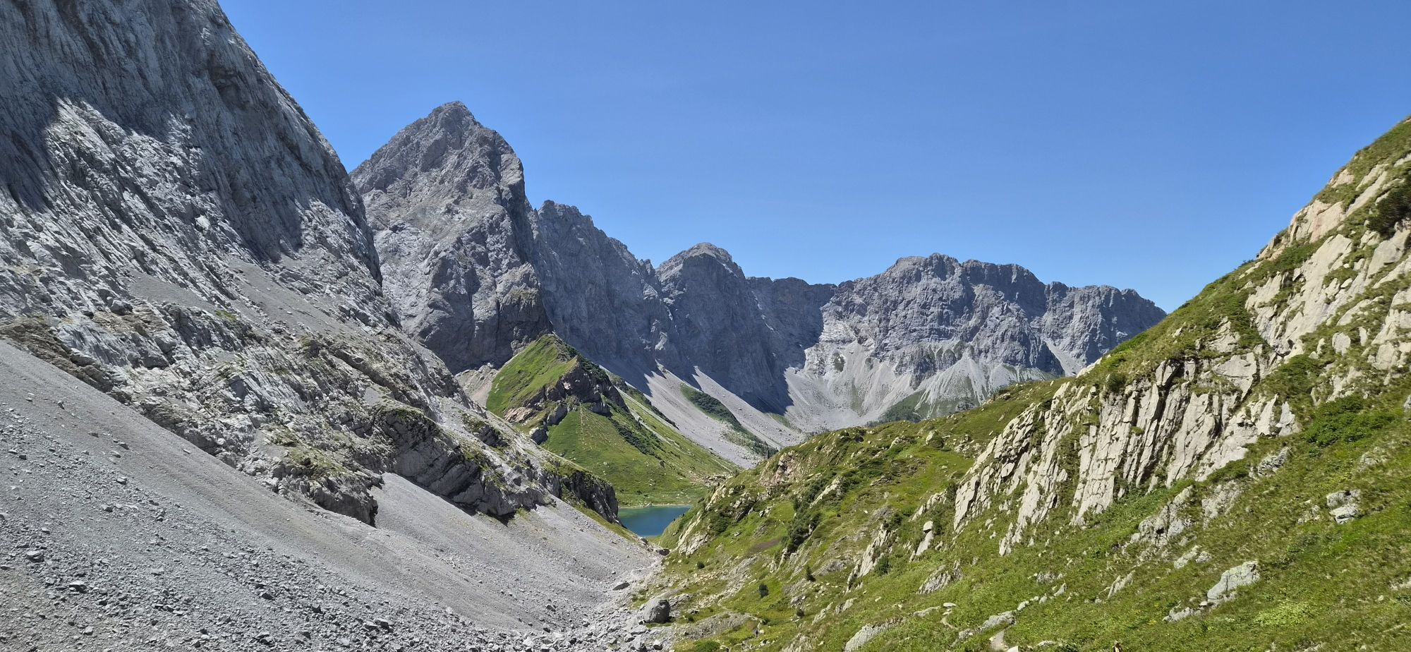
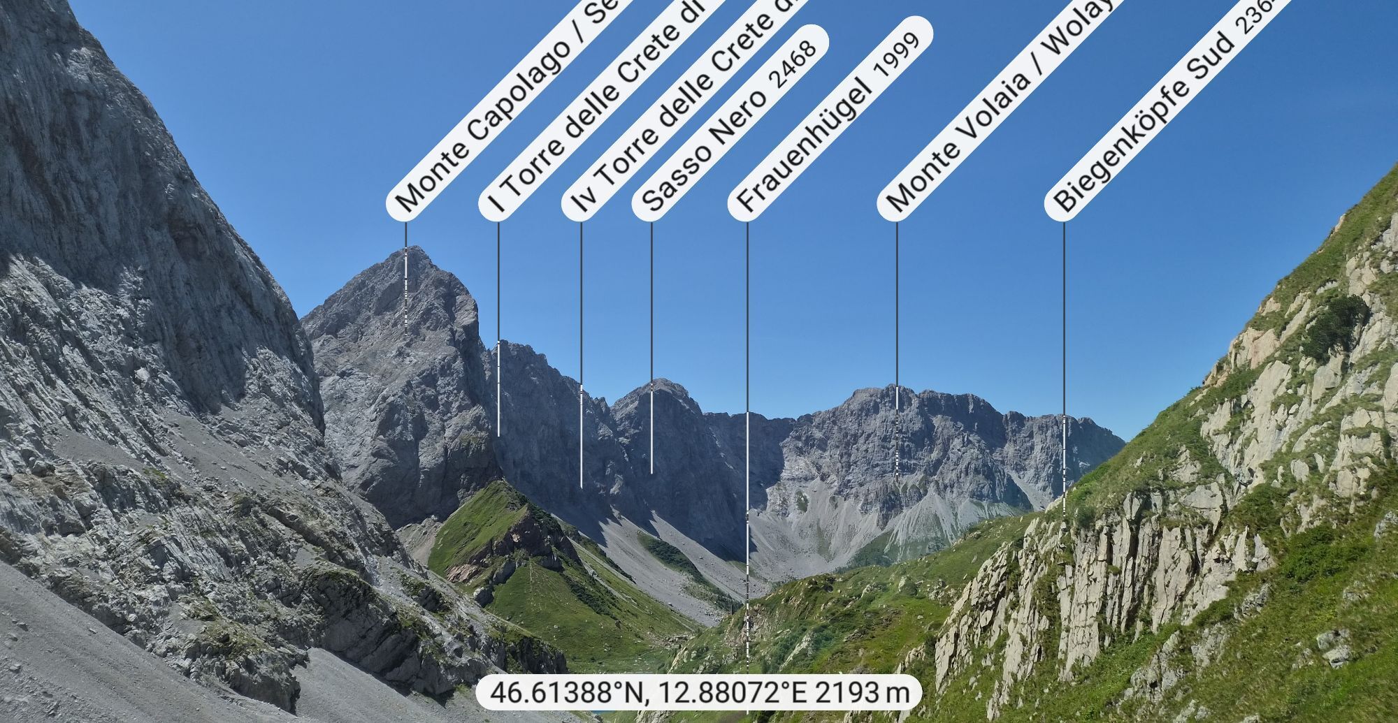
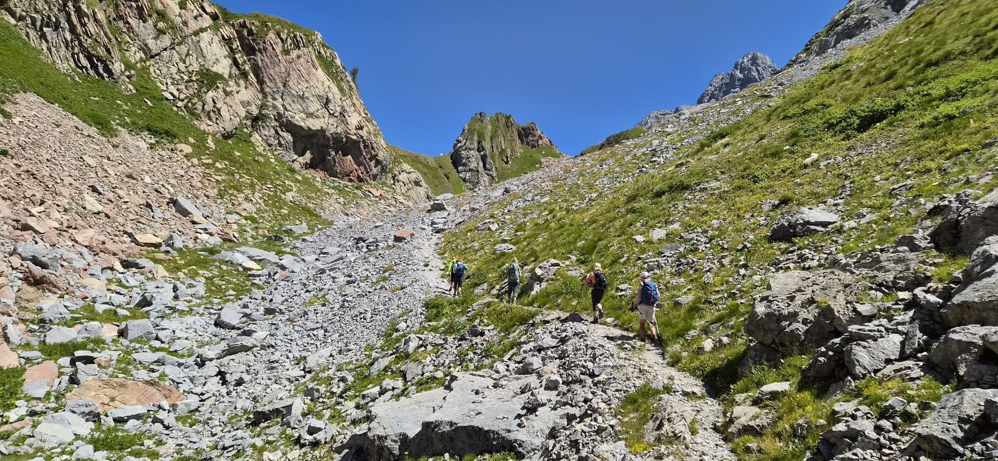
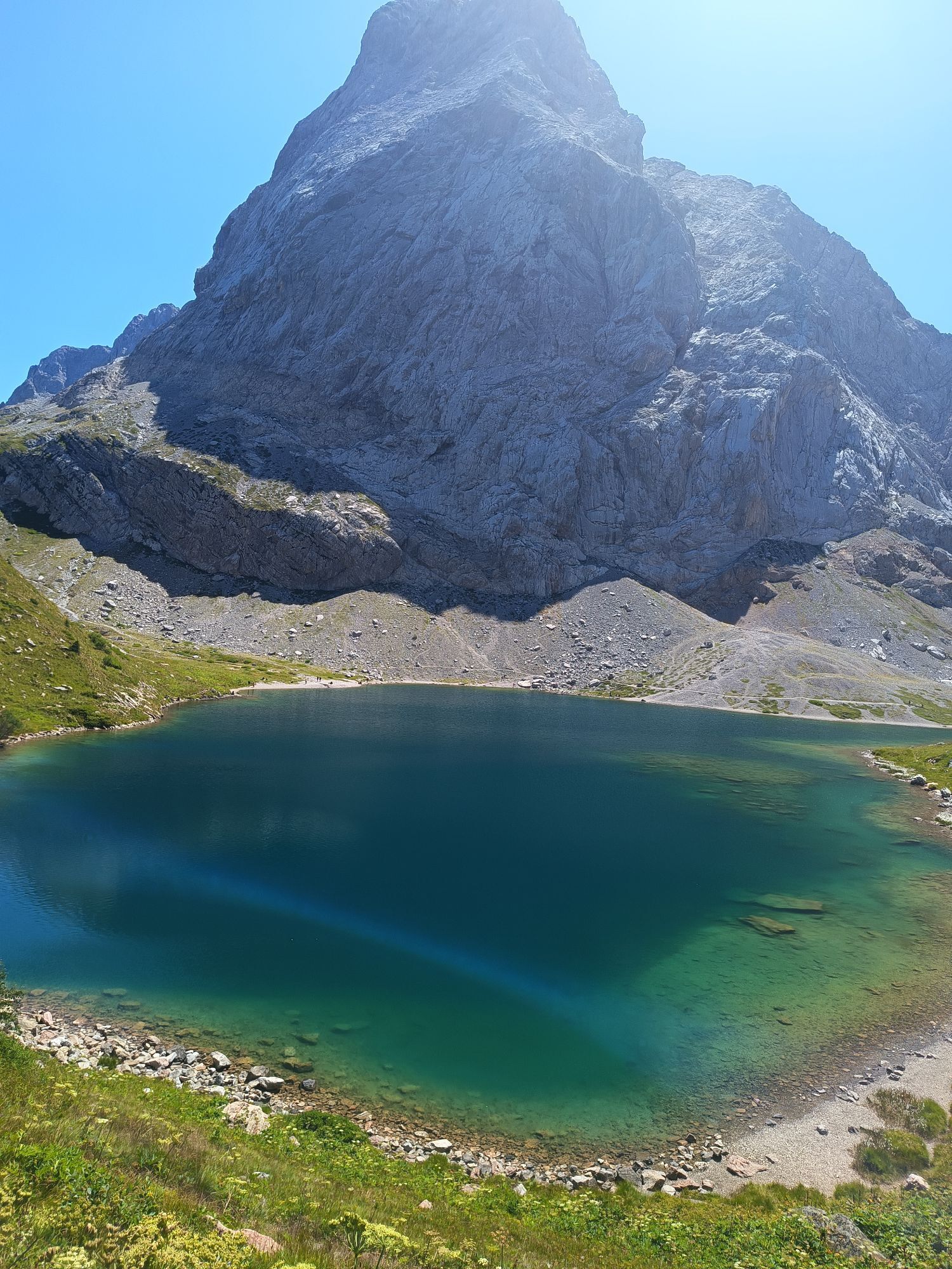
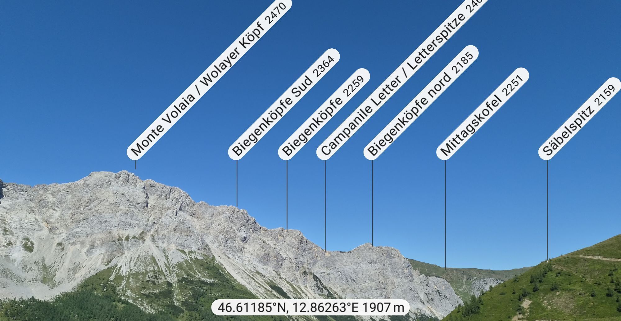
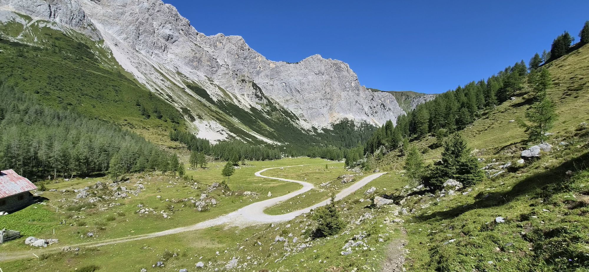
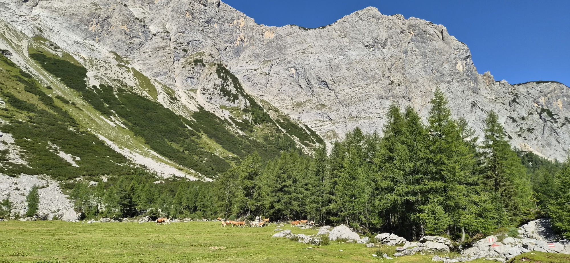
The somewhat longer section east of the Plöcken Pass offers a gentle mountain landscape with extensive alpine meadows and easy hiking mountains. West of the Plöcken Pass stretches the more alpinistically...
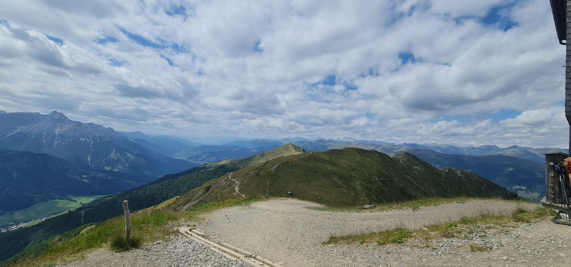
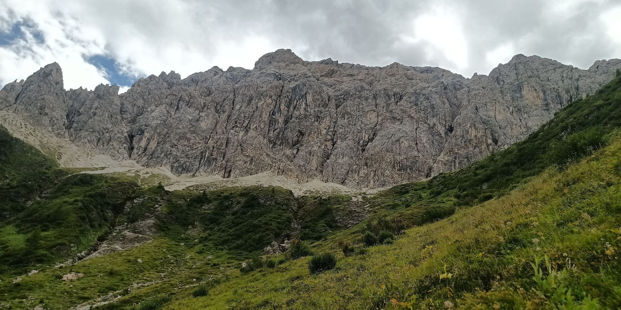
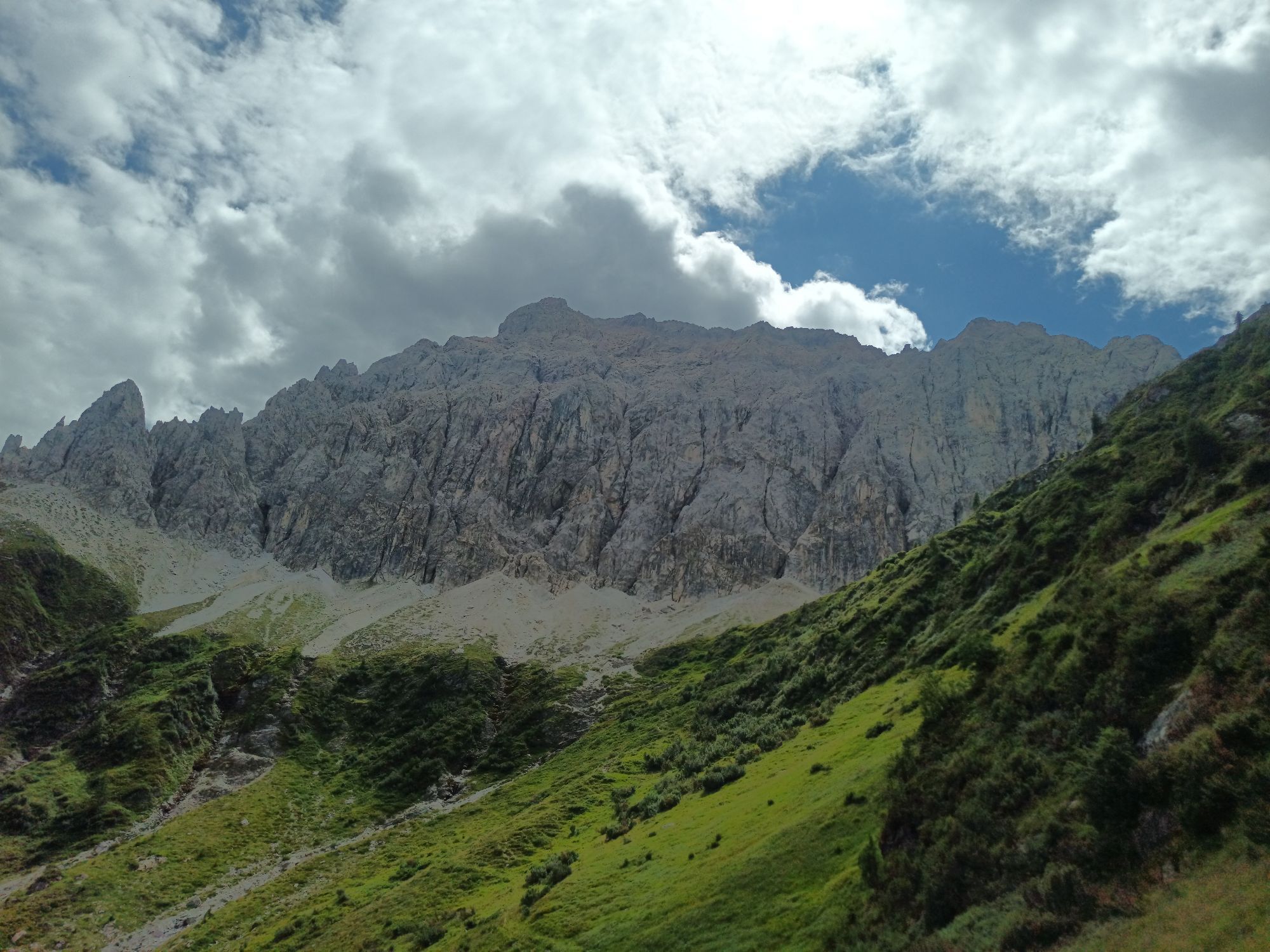
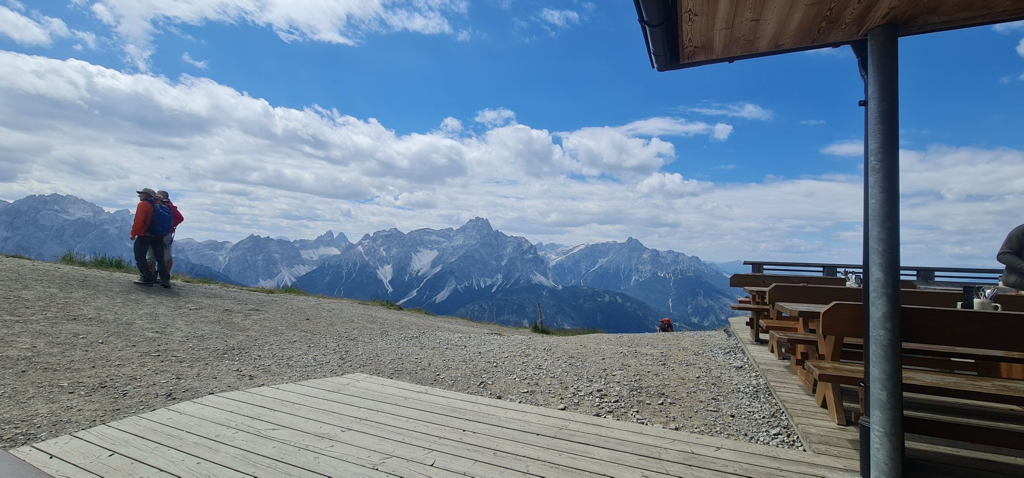
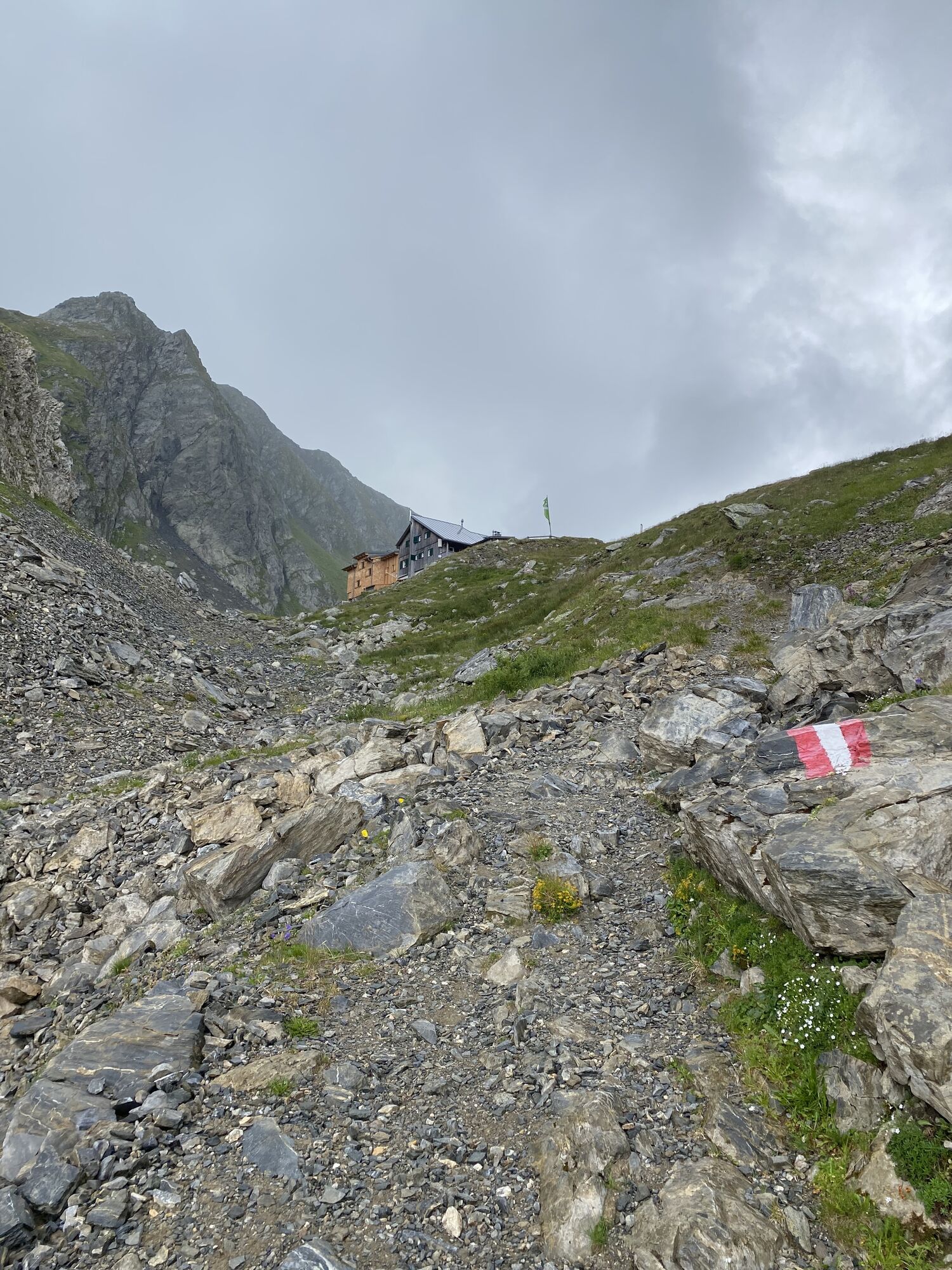
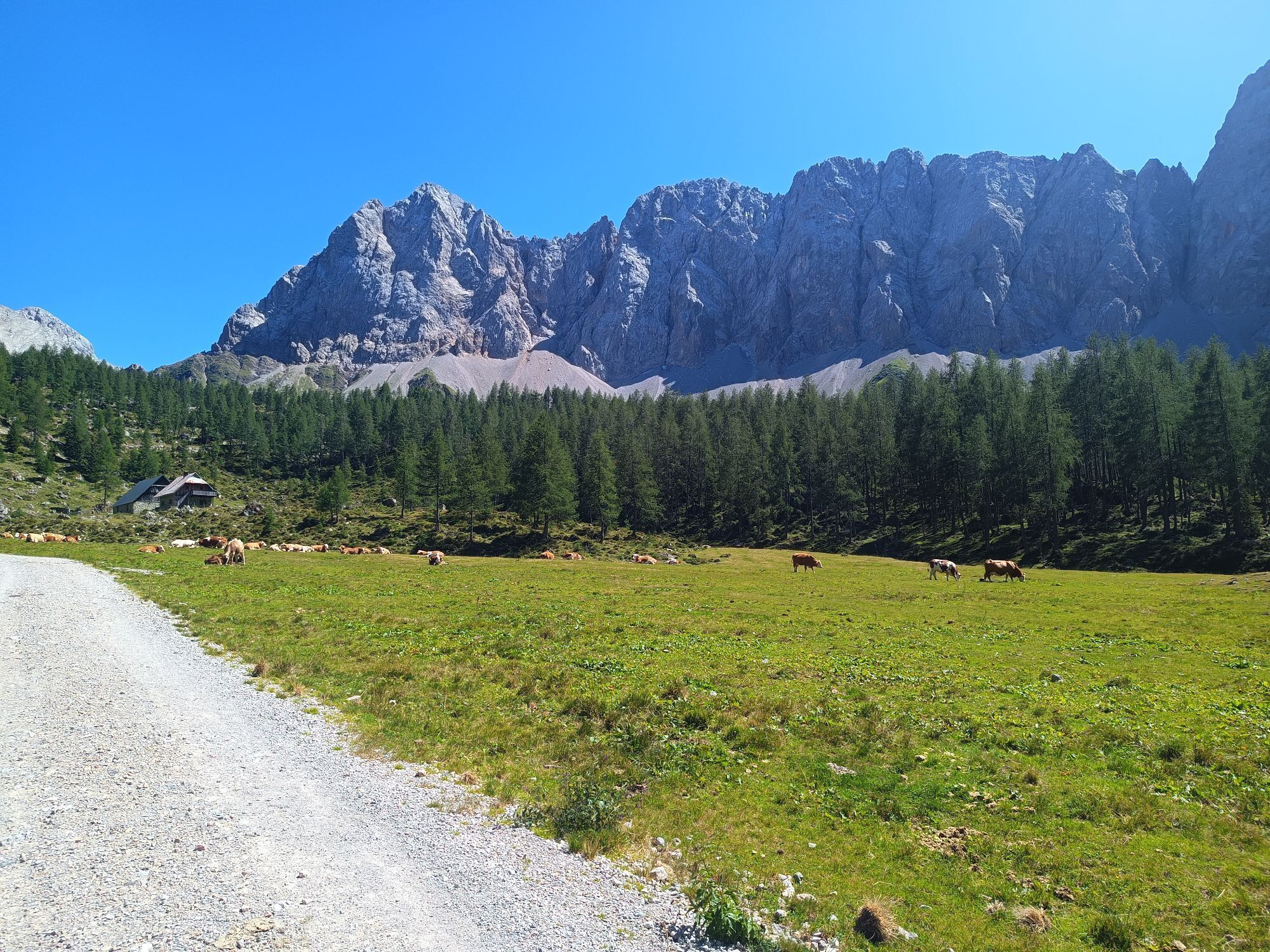
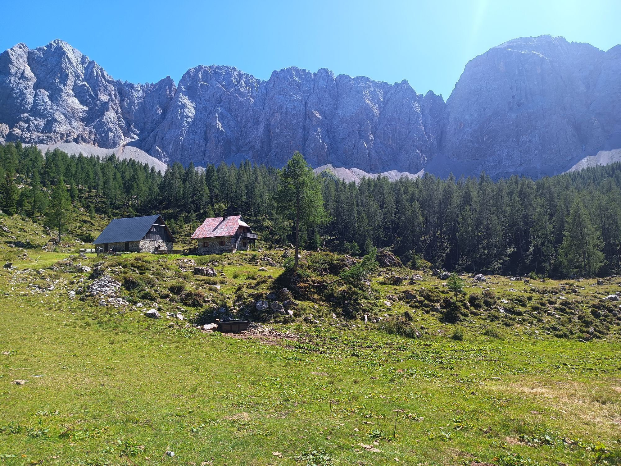
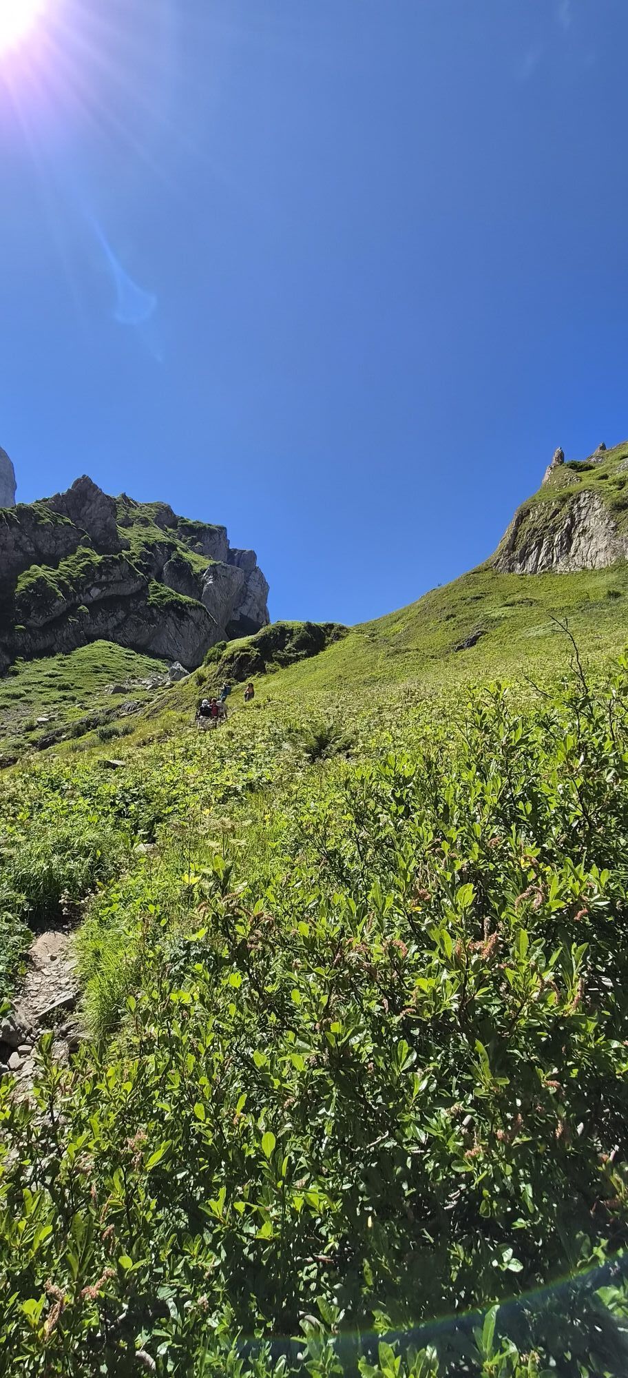
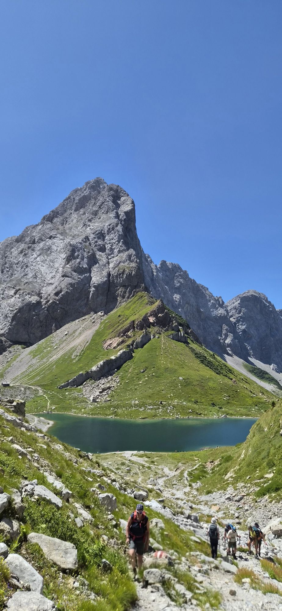
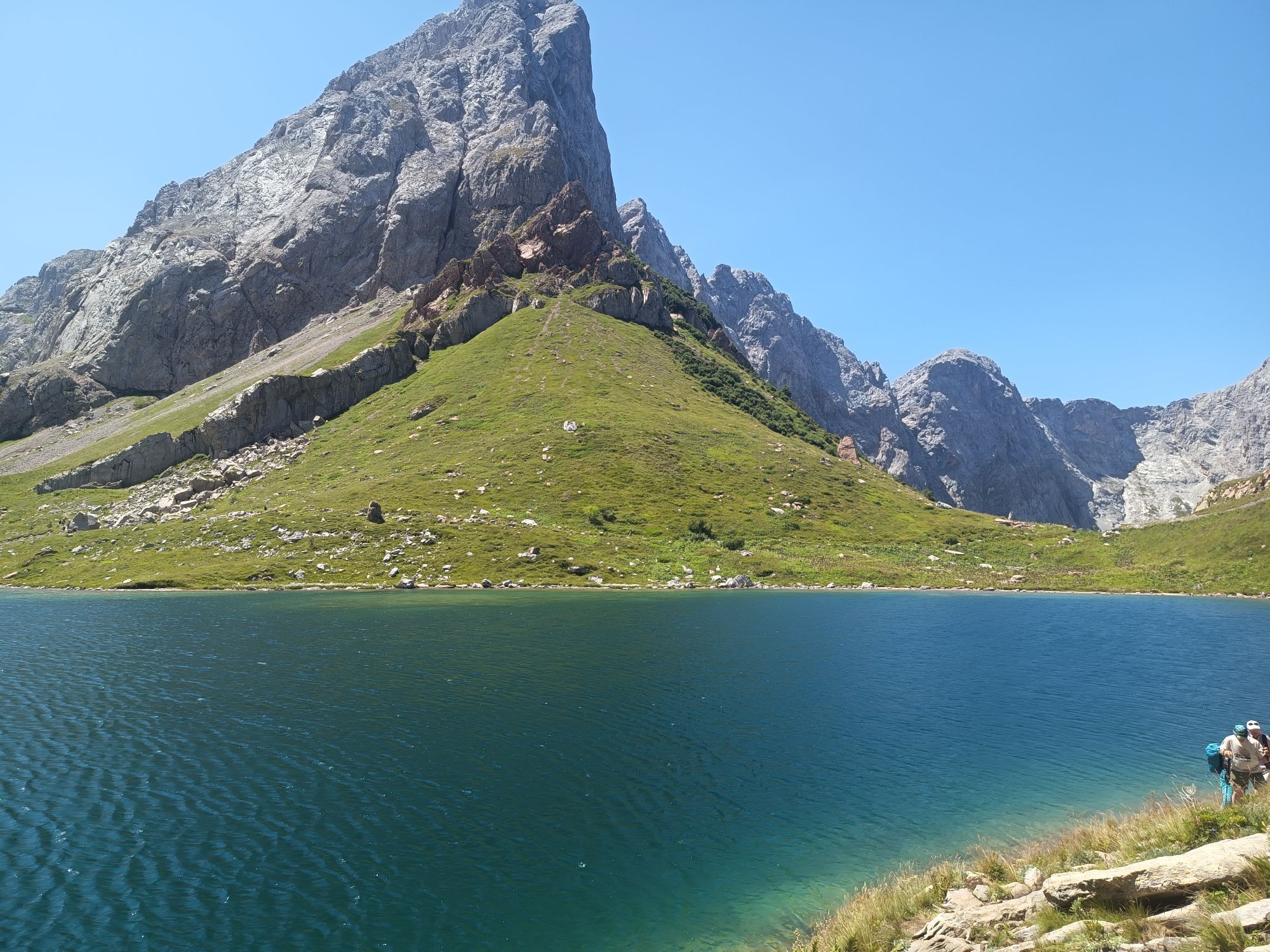
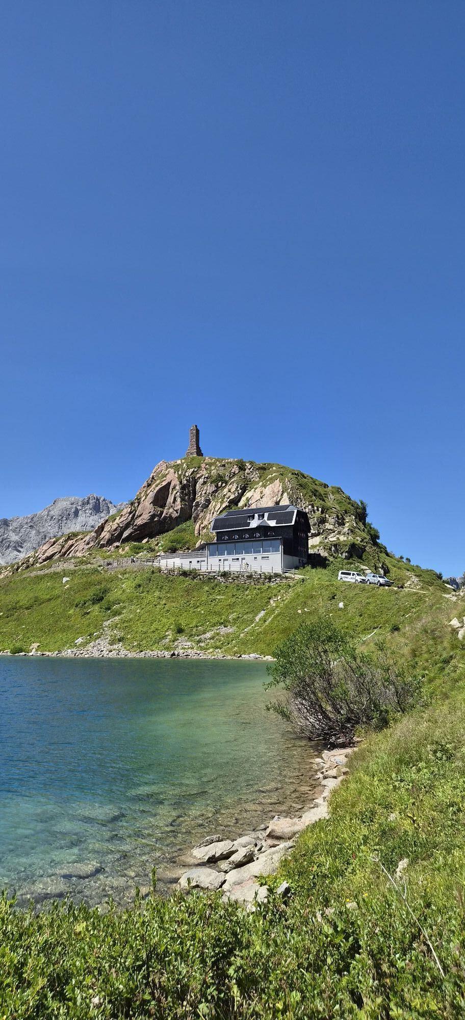
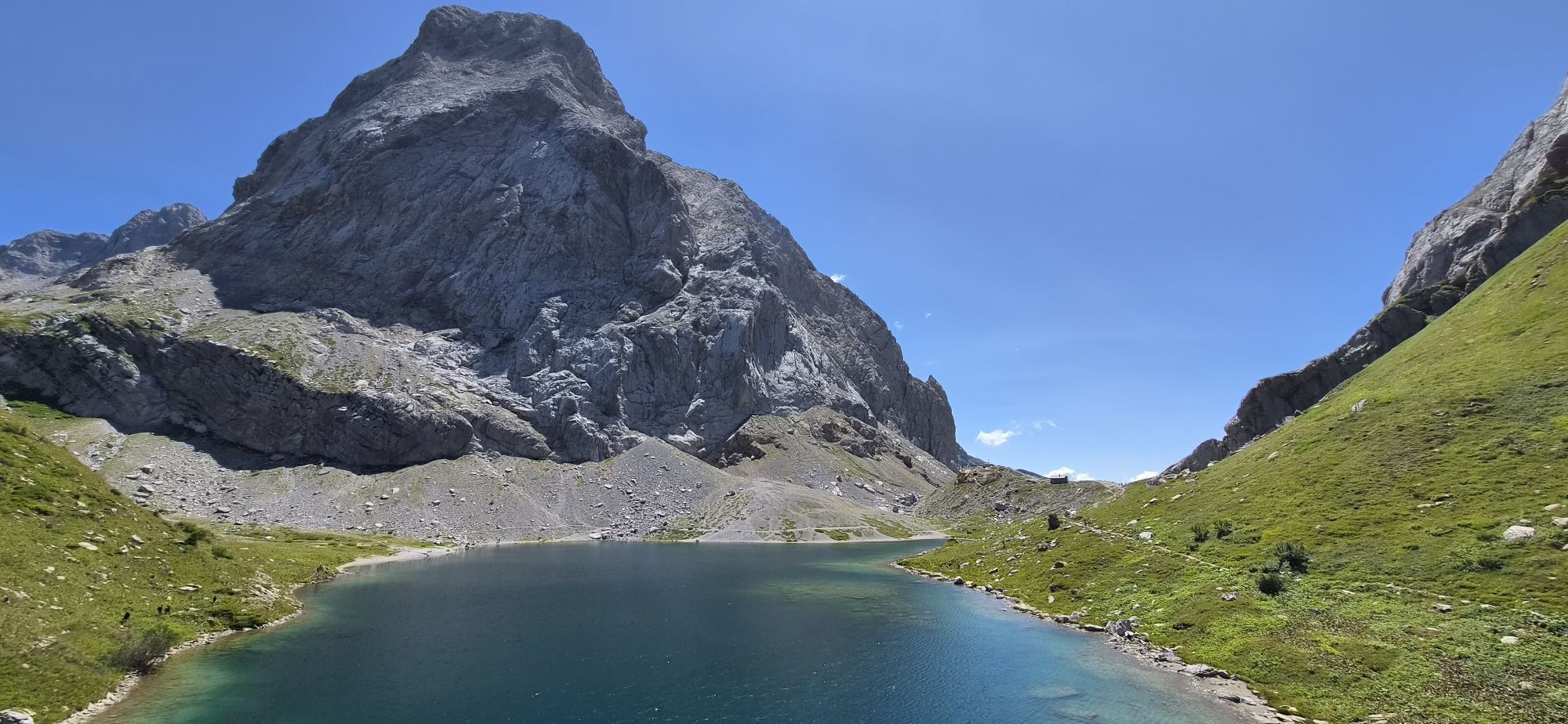
The somewhat longer section east of the Plöcken Pass offers a gentle mountain landscape with extensive alpine meadows and easy hiking mountains. West of the Plöcken Pass stretches the more alpinistically interesting part along the highest peaks of the Carnic ridge. The alpine long-distance hiking trail leads through a scenically extremely beautiful and varied area.

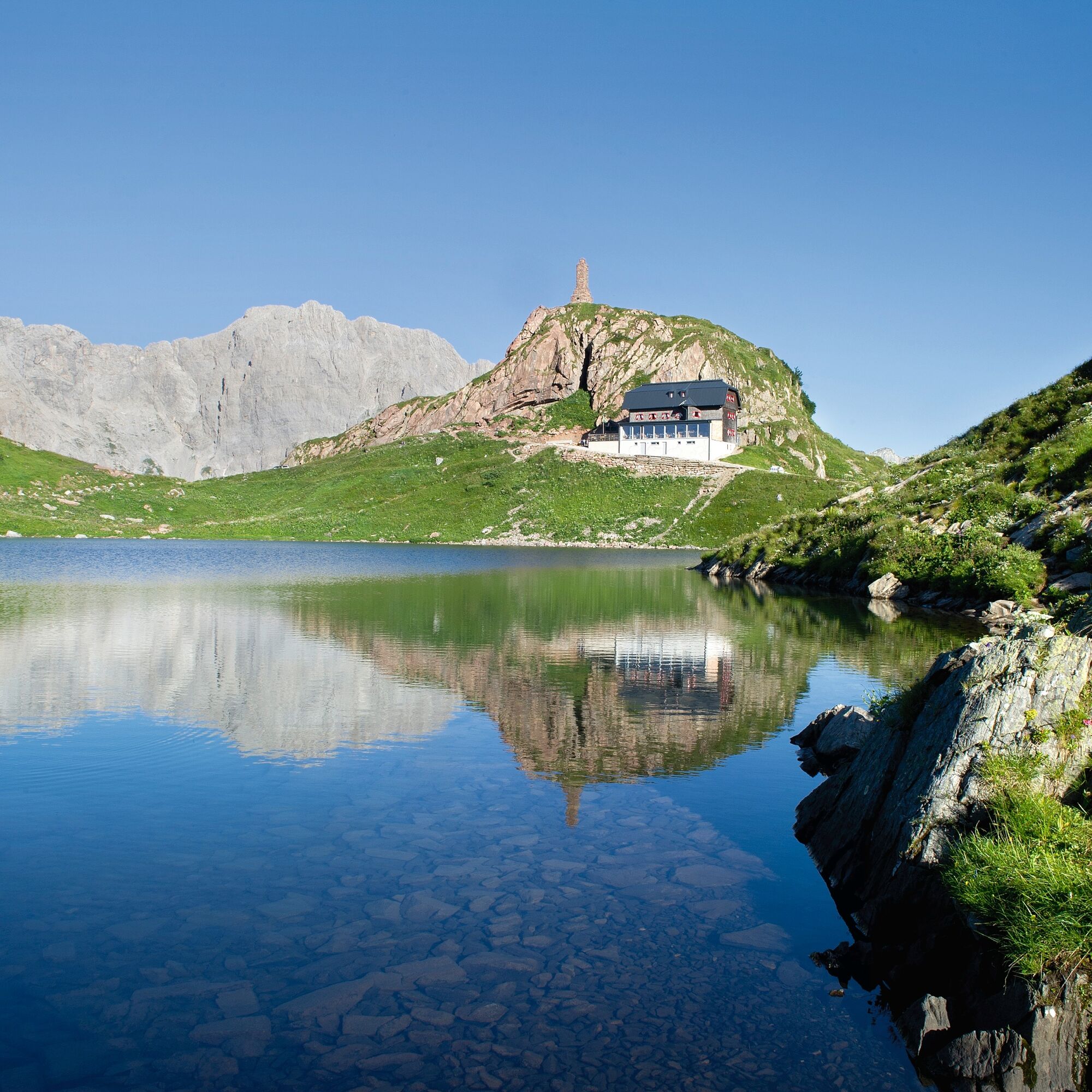
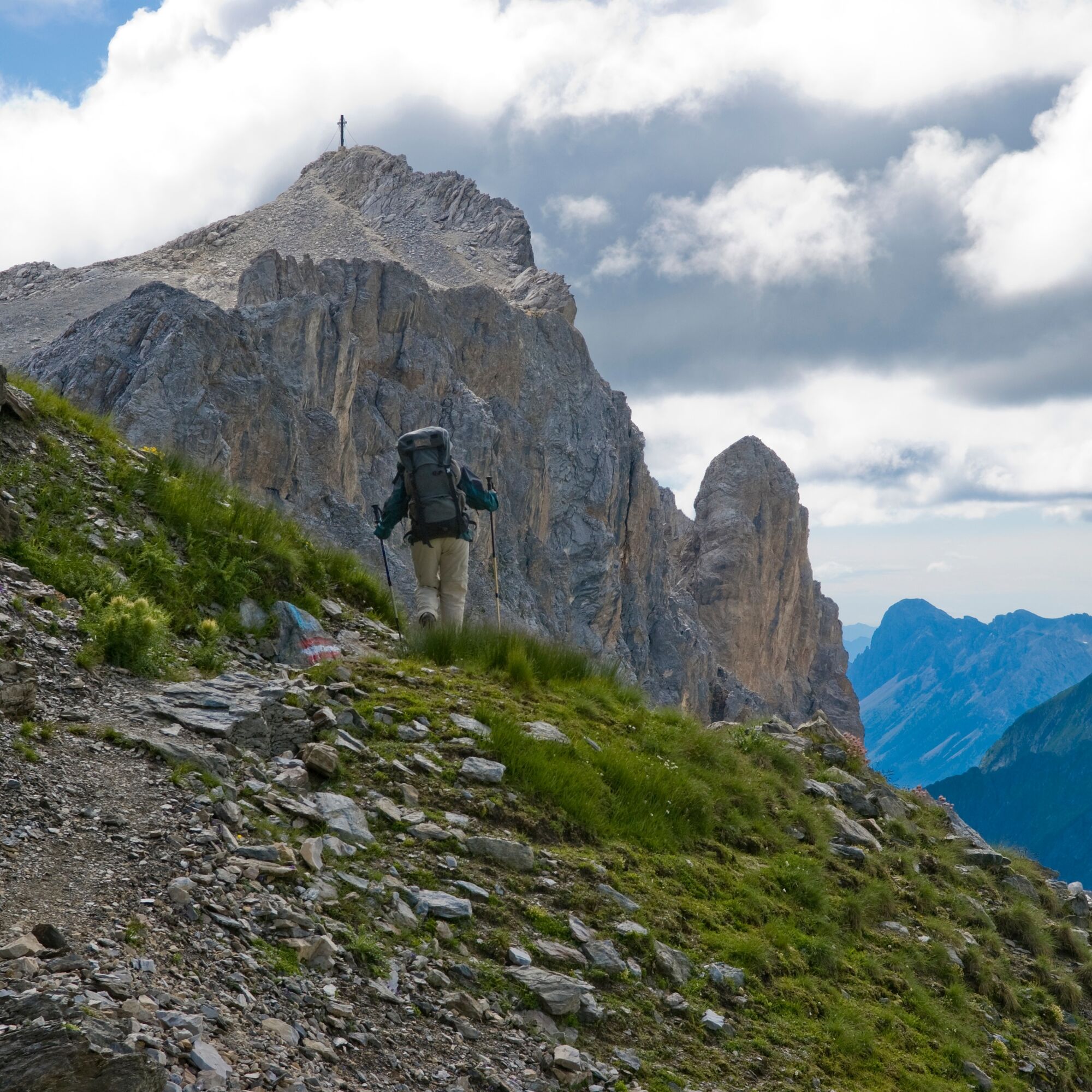
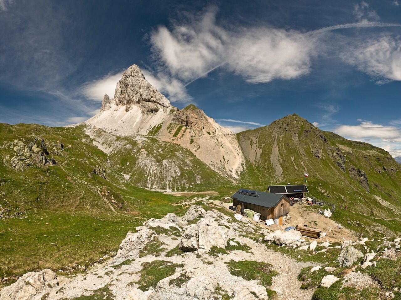
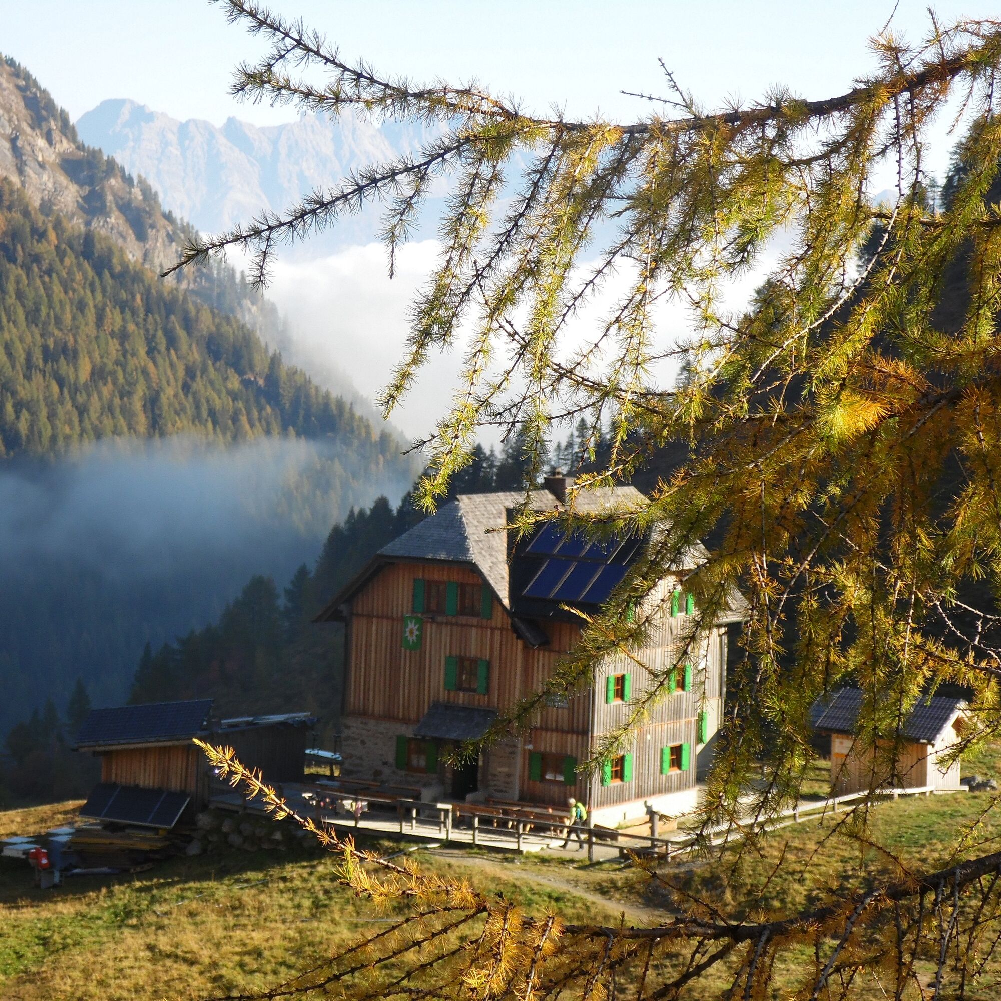

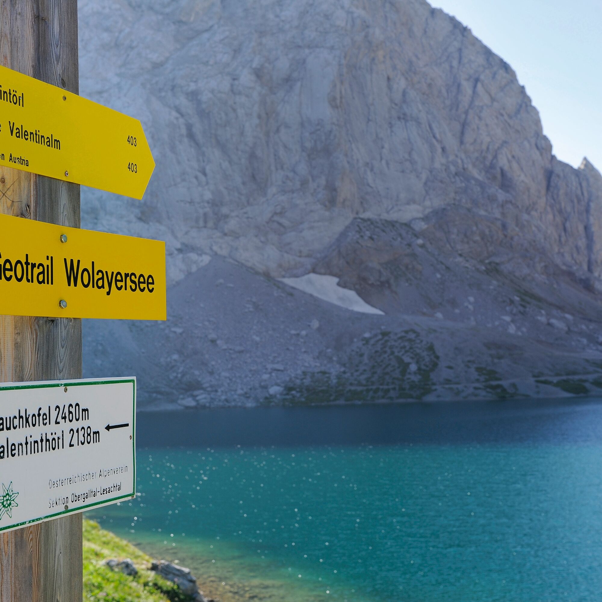
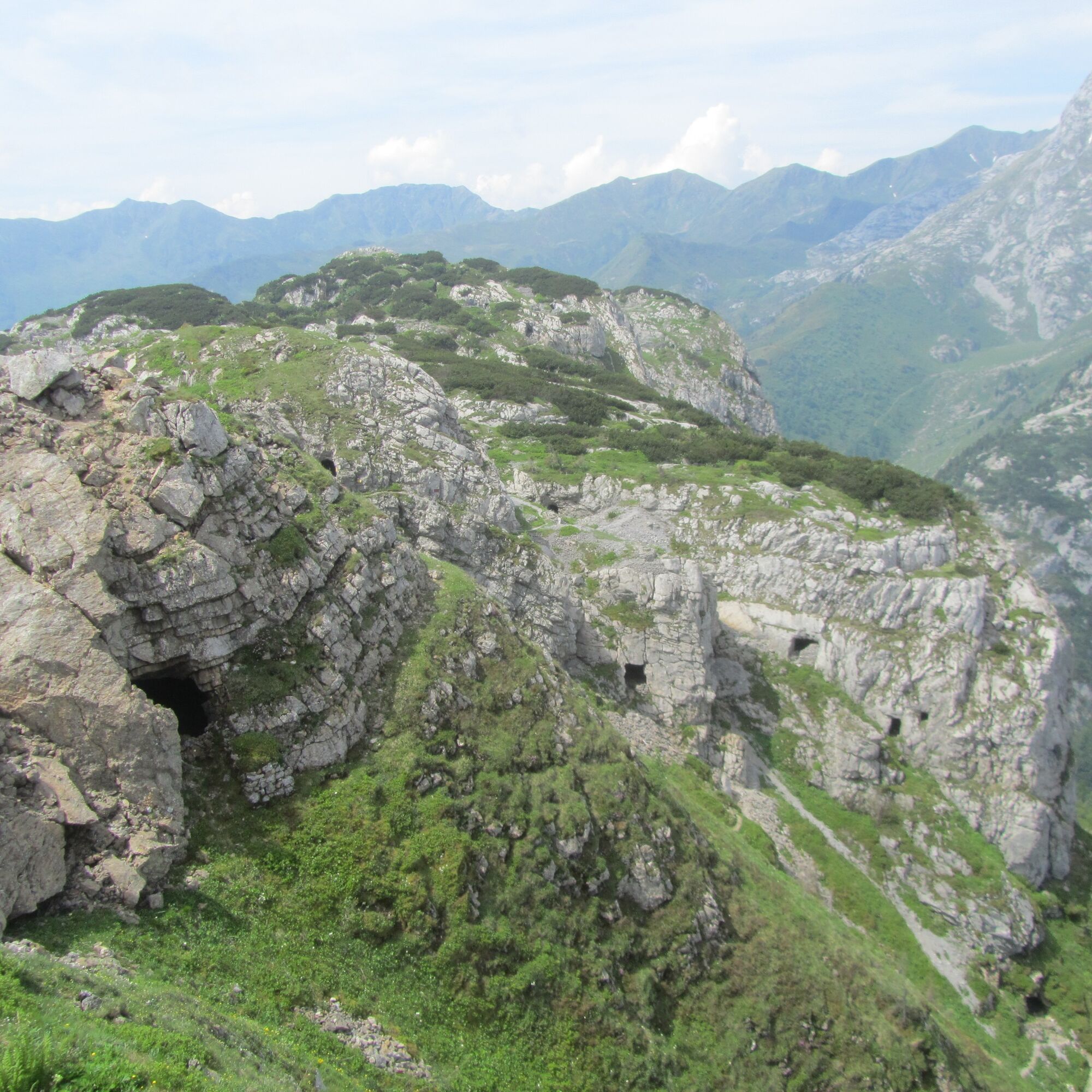
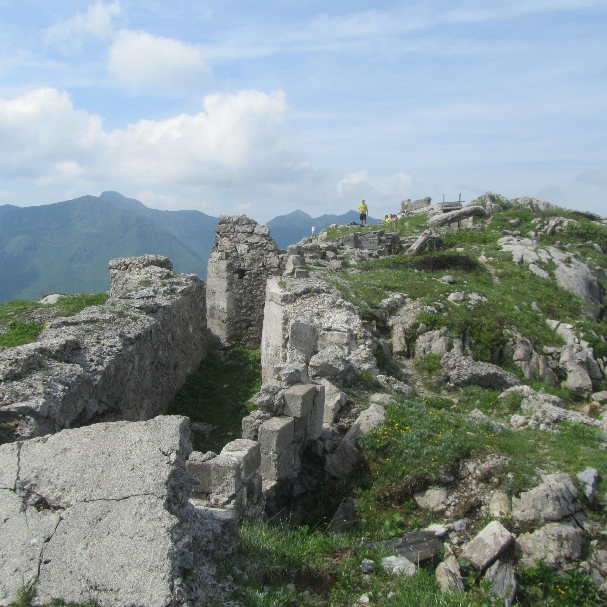
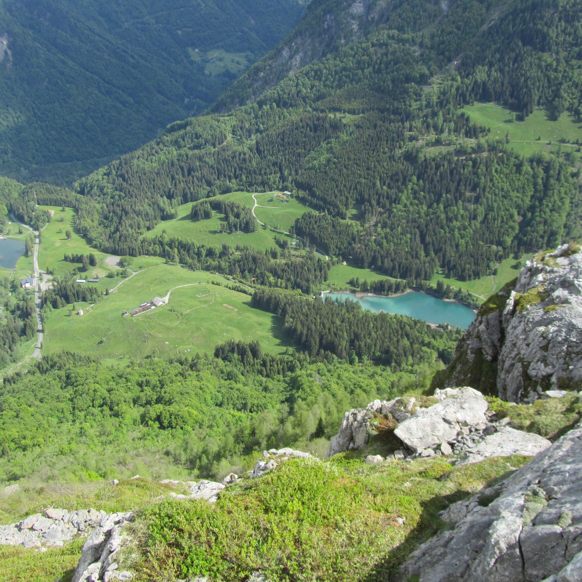
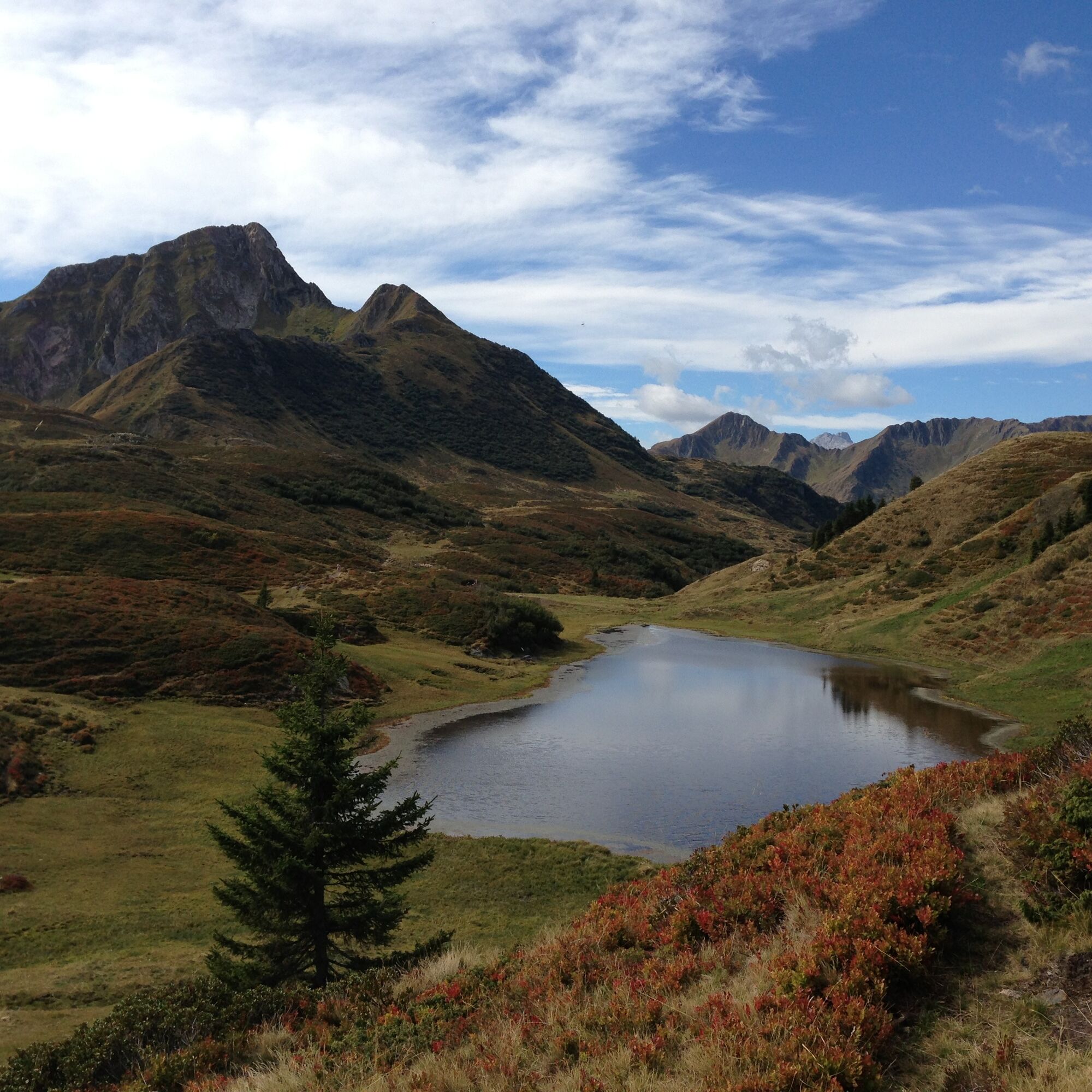
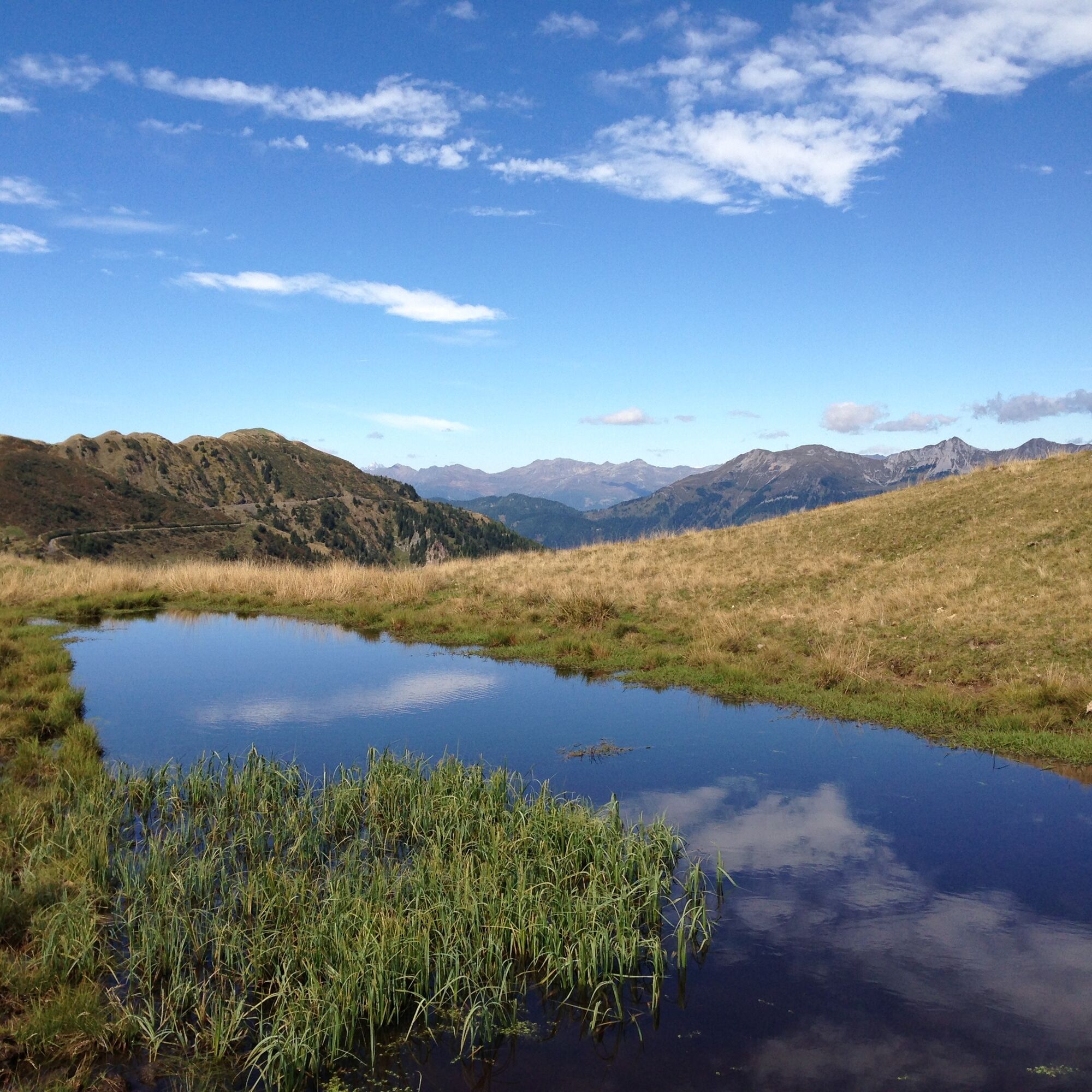
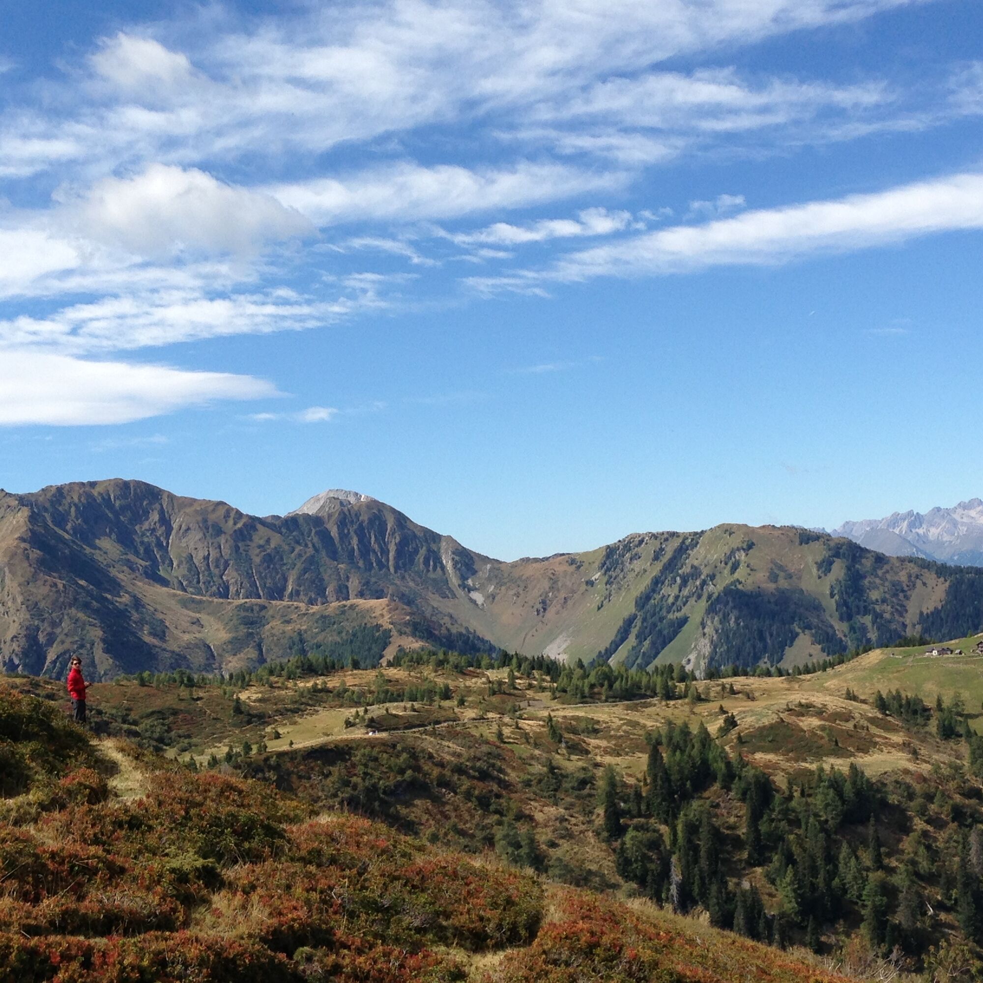

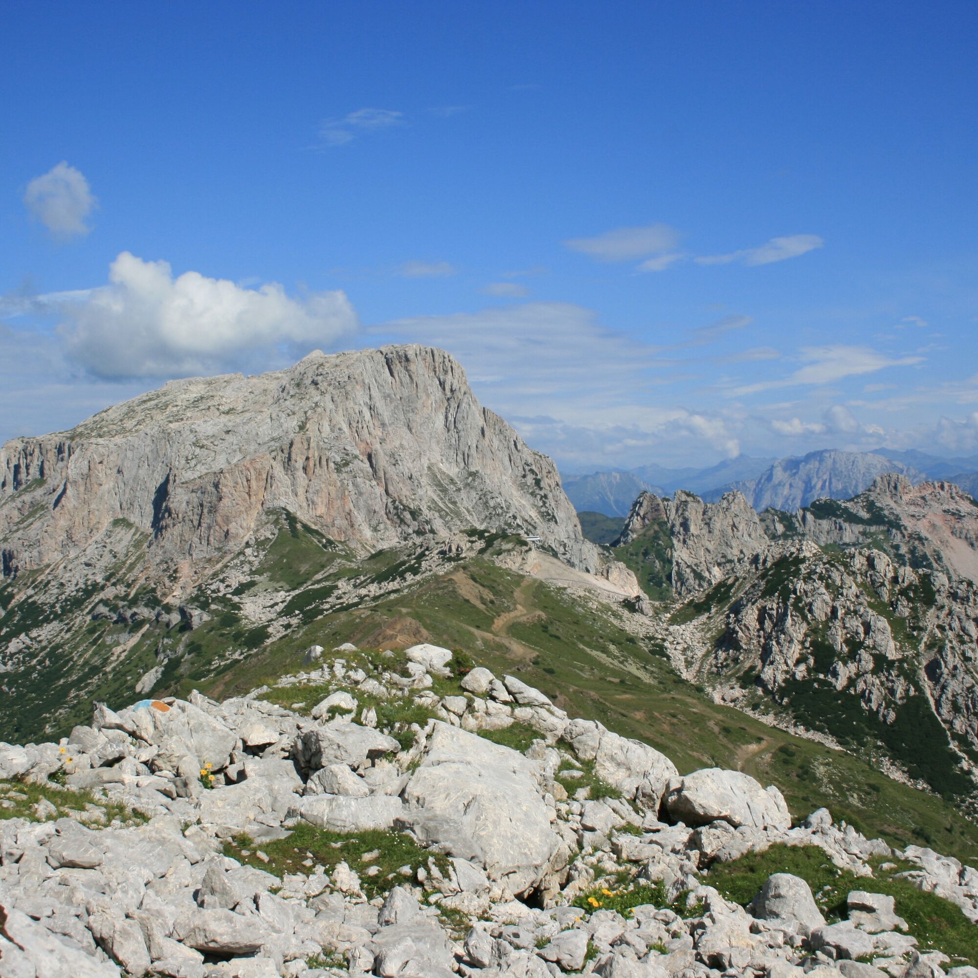
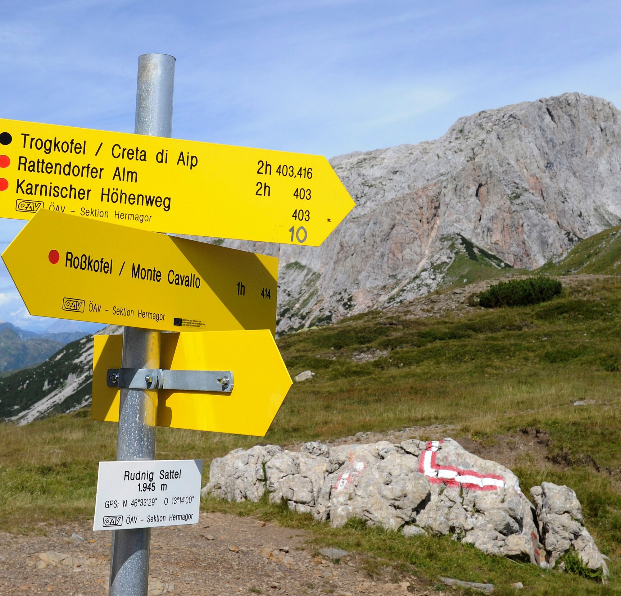
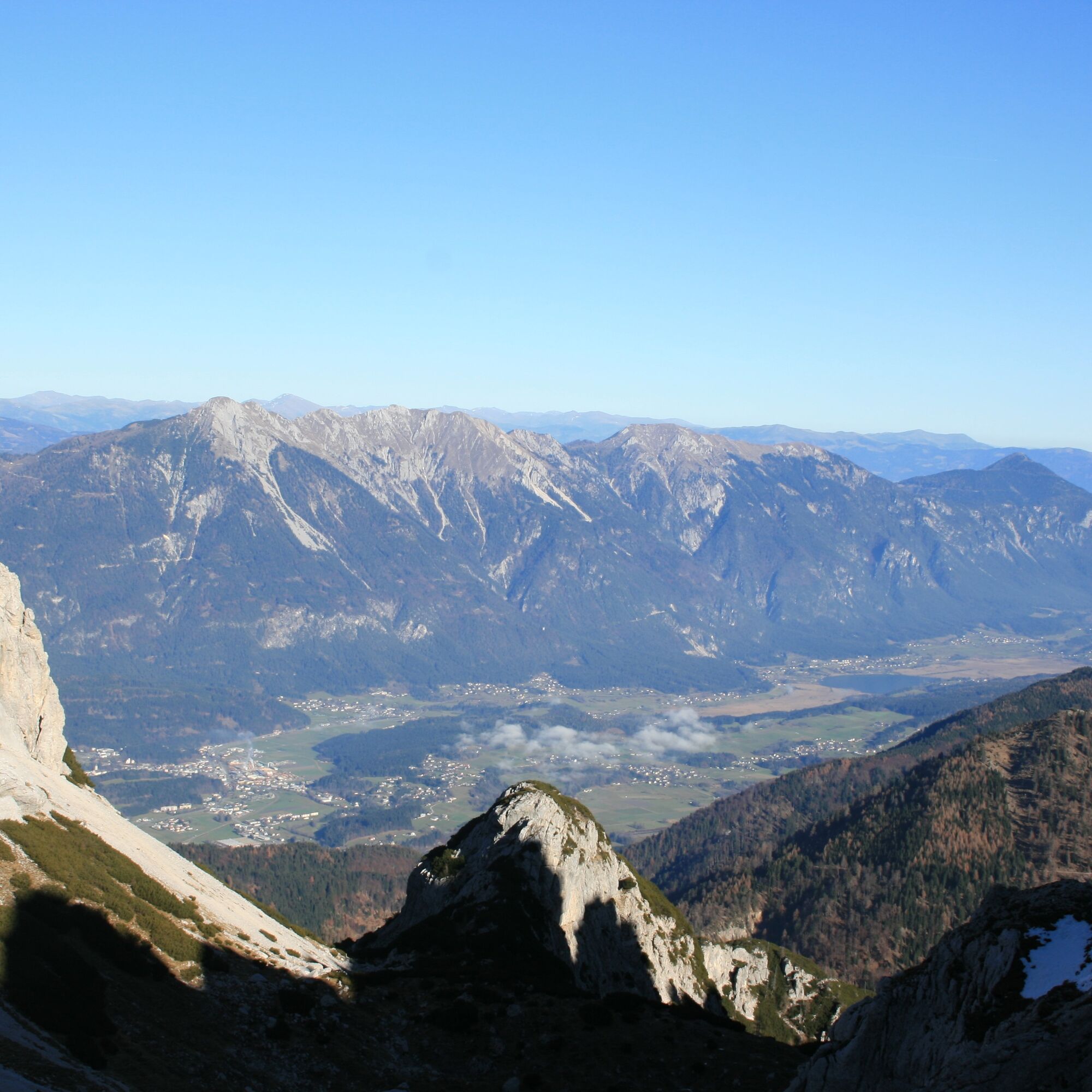


The Carnic High Route can, for example, also be divided into 8-11 daily stages, a descent into the valley is (almost) possible at any time. Accommodation options in serviced huts are sufficiently available.
Suggestion for the daily stages:
Day 1: Leckfeldalm - Sillian Hut - Obstansersee Hut
Day 2: Obstansersee Hut - Filmoor Hut - Porze Hut
Day 3: Porze Hut - Hochweißstein House
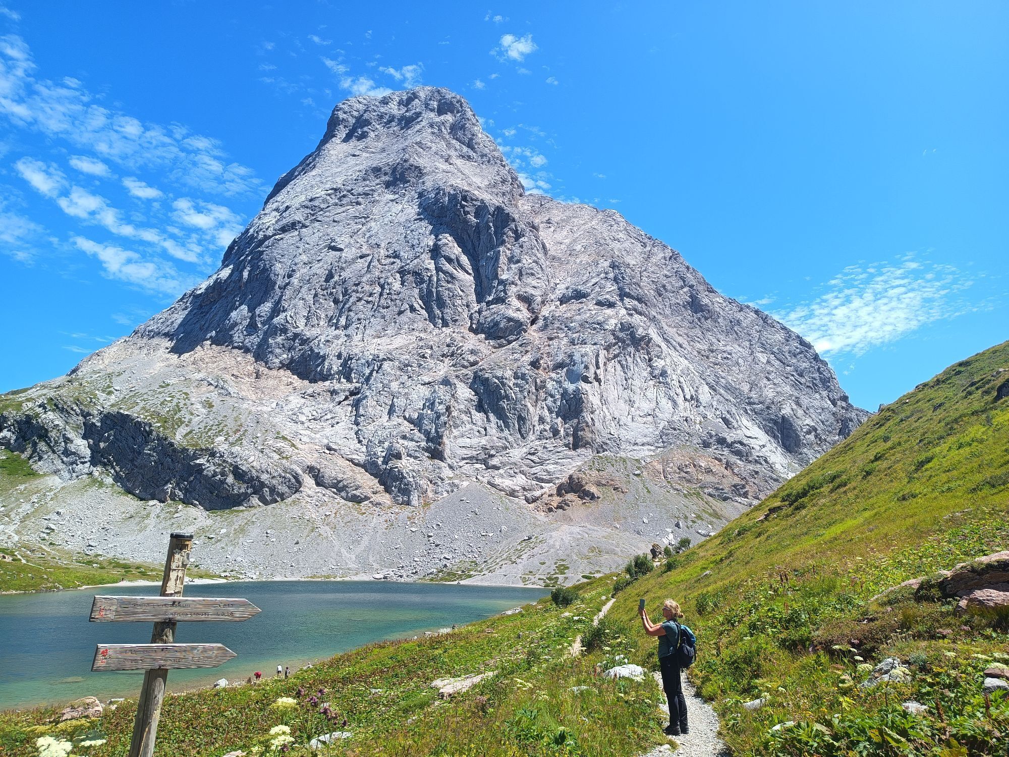
Day 4: Hochweißstein House - Wolayersee Hut
Day 5: Wolayersee Hut - Zollnersee Hut
Day 6: Zollnersee Hut - Nassfeld (Alpenhof Plattner)
Day 7: Nassfeld (Alpenhof Plattner) - Dolinza Alm (Gasthaus Starhand)
Day 8: Dolinza Alm (Gasthaus Starhand) - Thörl near Arnoldstein
Of course, the Carnic High Route can also be hiked in the opposite direction, starting with the gentler section and ending with the high alpine part.
Tak
Checklist:
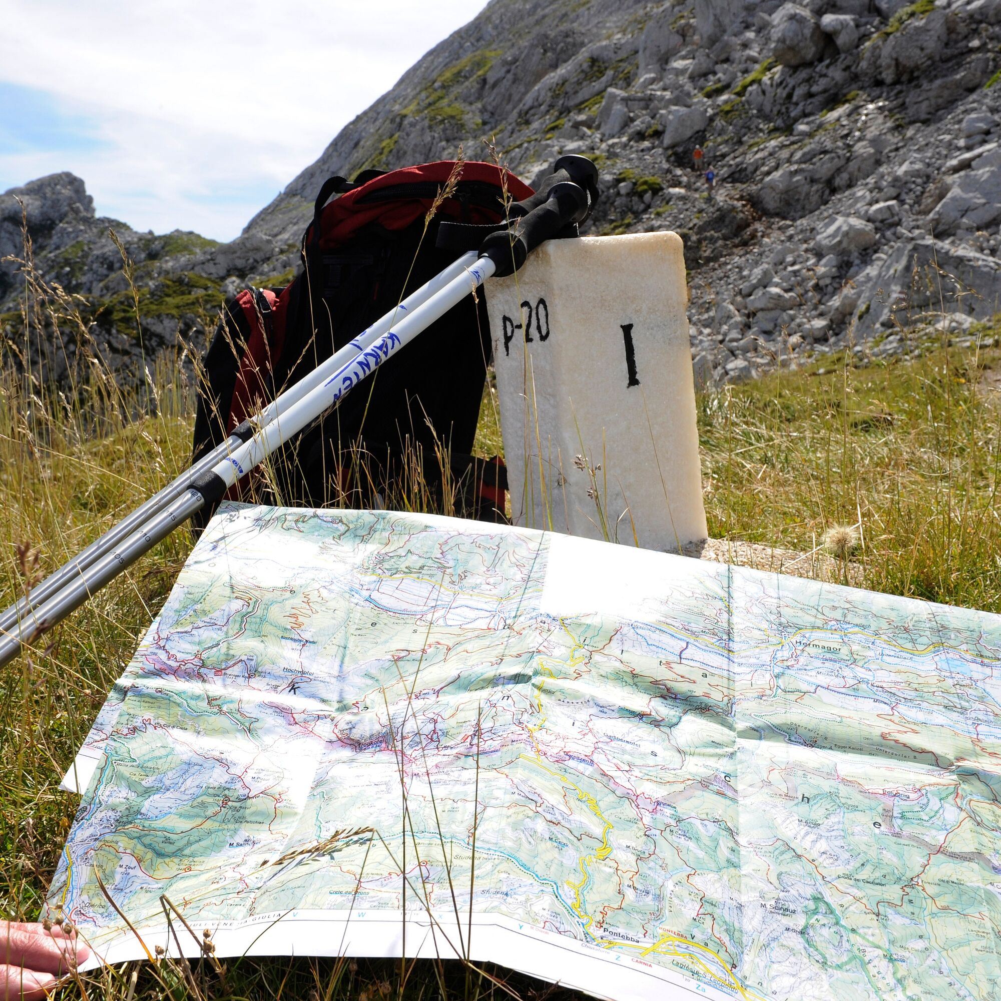
Sturdy footwear (hiking boots or mountain boots) (Hiking) clothing for all weather conditions: rain protection, hats, gloves, ... (according to the season) First aid kit Money Mobile phone or radio device Hiking maps Backpack Sunscreen and sunglasses Flashlight or headlamp Provisions (drinks, water bottles and possibly food) Toiletries Possibly hiking polesAccess depends on the planned starting point of the Carnic High Route. See the individual stages for details.
Parking availability depends on the planned starting point of the Carnic High Route. See the individual stages for details.
More info at the info & service center Nassfeld-Pressegger at +43 4285 8241 and info@nassfeld.at
Demanding summit ascents such as Gr. Kinigat, Filmoorhöhe, Porze, Monte Peralba, Hohe Warte and others (partly on via ferratas) can be integrated into the conventional route of the Carnic High Route. For this, a 2-3 day extension is recommended - with additional overnight stays at the Filmoor Hut or the Lower Valentin Alm.

Kamery internetowe z trasy
-
Tempele
-
Gartnerkofel
-
Tressdorfer Höhe
-
Nassfeldpass
-
Helm-Plateau
-
Tressdorfer Höhe
-
Tressdorfer Höhe
-
Toblach
-
Sexten/ Fischleintal
-
Sexten Waldheim
-
Innichen Stifts- und St.Michaelskirche
-
Toblach - Langlaufstadion / Hotel Santer
-
Nassfeld Hubschrauberlandeplatz
-
Sillianberg
-
Stiergarten / Drei Zinnen Dolomiten
-
Stiergarten / Drei Zinnen Dolomiten
-
Stiergarten / Drei Zinnen Dolomiten
-
Stiergarten / Drei Zinnen Dolomiten
-
Stiergarten / Drei Zinnen Dolomiten
-
Nassfeld - Sonnleitn
-
Sillian
-
Hollbruck
-
Obertilliach
-
Biathlon- und LL-Zentrum in Obertilliach
-
Helm-Plateau
-
Helm-Plateau
-
Helm-Plateau
-
Kreuzbergpass
-
Kreuzbergpass
-
Kreuzbergpass
-
Kreuzbergpass
-
Kabinenbahn Signaue
-
Kabinenbahn Signaue
-
Kabinenbahn Signaue
-
Kabinenbahn Signaue
-
Burg Heinfels
-
Tressdorfer Höhe
-
Rudnigsattel
-
Fledermaushaus
-
Kartitsch / Monte
Uzyskaj wgląd
Zawsze na żywo z ponad 9 500 kamer internetowych. bergfex Jako użytkownik Pro, możesz teraz zobaczyć odpowiednie kamery internetowe dla wielu wycieczek w aplikacji wycieczki od. Pozwala to na bezpośredni podgląd aktualnych warunków.
Popularne wycieczki w okolicy
-
4,9
Karnischer Hauptkamm - Hohe Warte 2.780m - Hike and Bike
ciężkiWycieczki górskie 19,5 km -
4,3
Mountain bike route from the Hubertus Chapel to the Wolayersee
ciężkiMountainbike 9,06 km -
3,7
Cellon-Stollen und Senza Confini auf den Cellon und Steinberger Weg zum Abstieg
średniVia ferrata 7,09 km -
5,0
Plöckenhaus - Polinik - Plöckenhaus
ciężkiWędrówka 10,9 km -
5,0
Valentin-Wolayersee-Runde
średniWędrówka 12,4 km -
3,6
RW_N61 Kleiner Pal (1,867 m)
ciężkiWędrówka 6,52 km -
4,6
KL_N5 Crete Rosse
średniVia ferrata 6,96 km -
4,7
03 Südalpenweg, 24. Etappe: Valentinalm - Wolayerseehütte
średnidługodystansowy szlak pieszy 9,63 km -
4,3
Flower paradise Mussen WW_N18
średniWędrówka 6,52 km -
5,0
Frischenkofel
średniWędrówka 5,25 km
Wędrówki i tropienie


Nie przegap ofert i inspiracji na następne wakacje
Twój adres e-mail została dodana do listy mailingowej.





