


Ötztal Trek Stage 2
Poziom trudności: T3
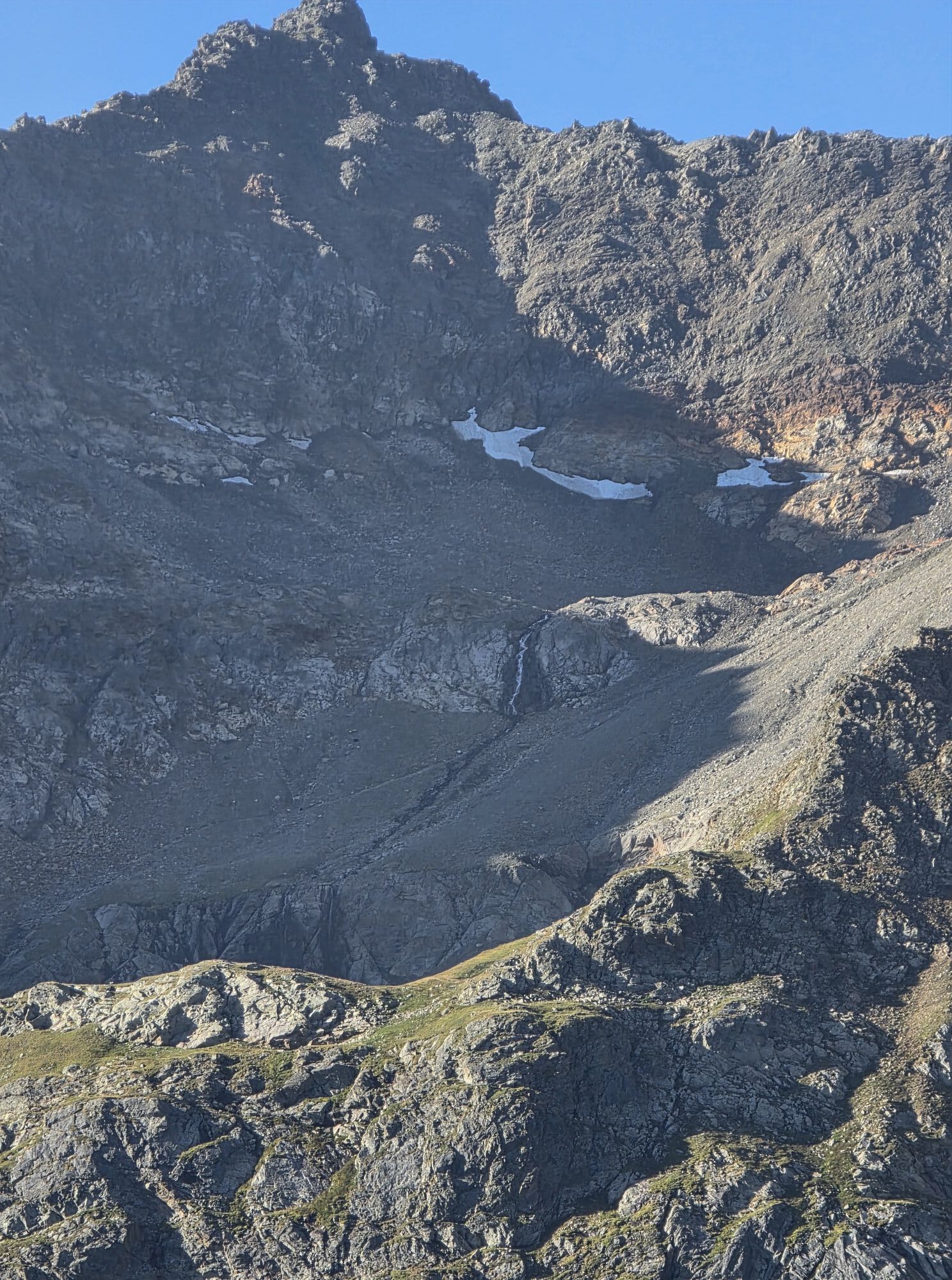
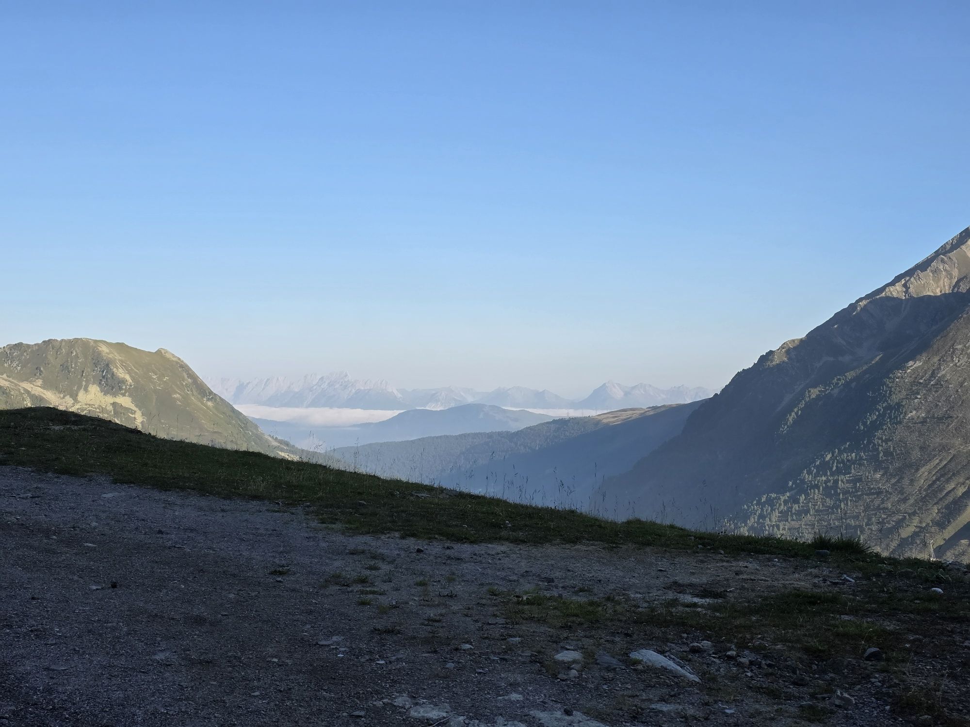
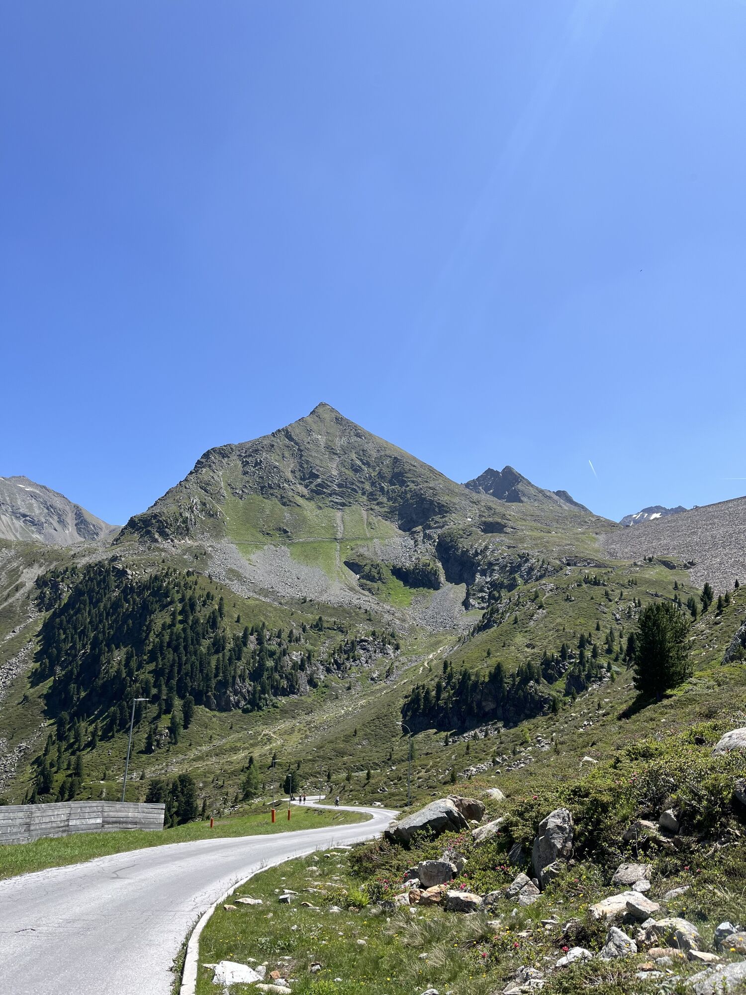
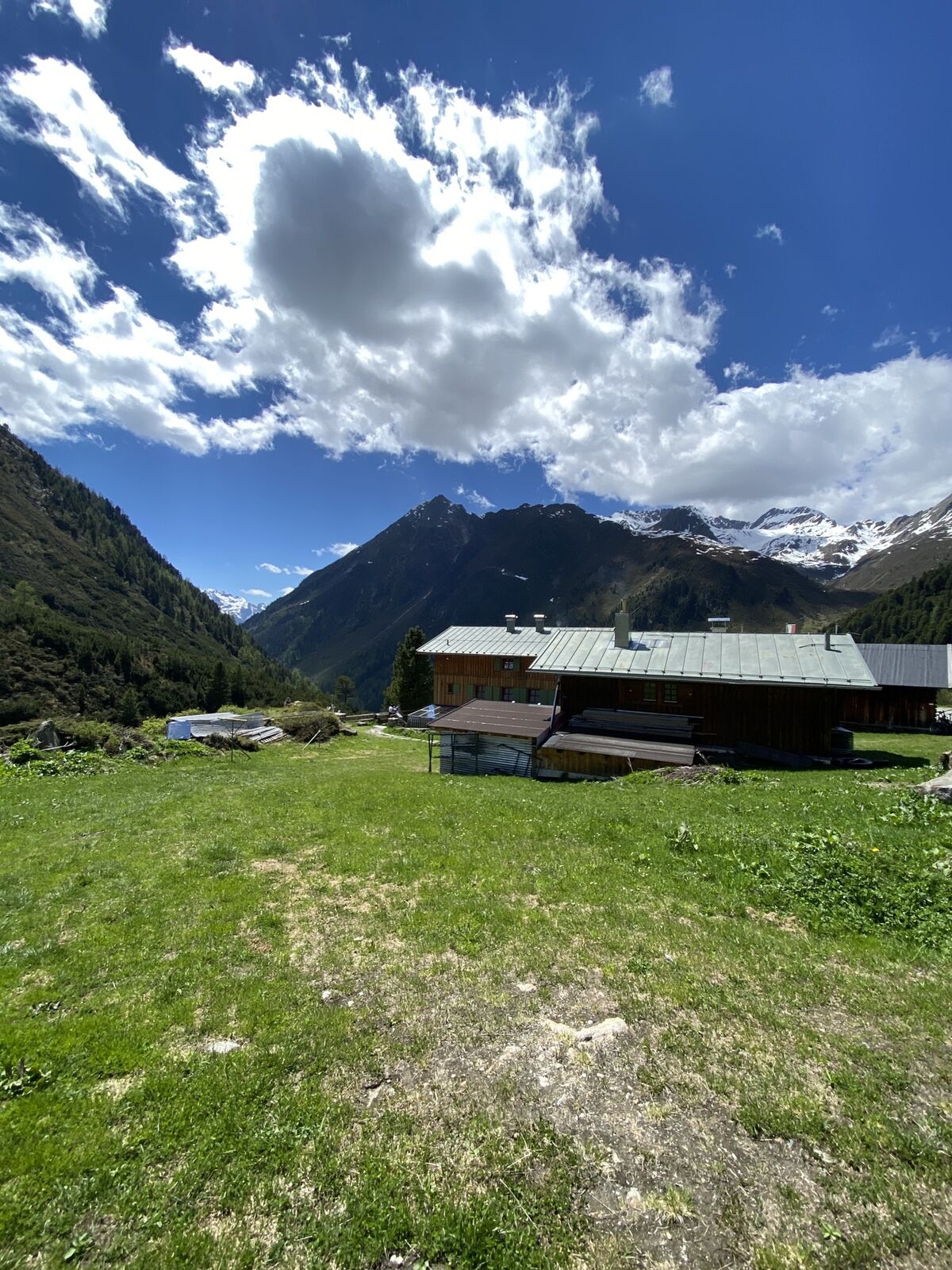
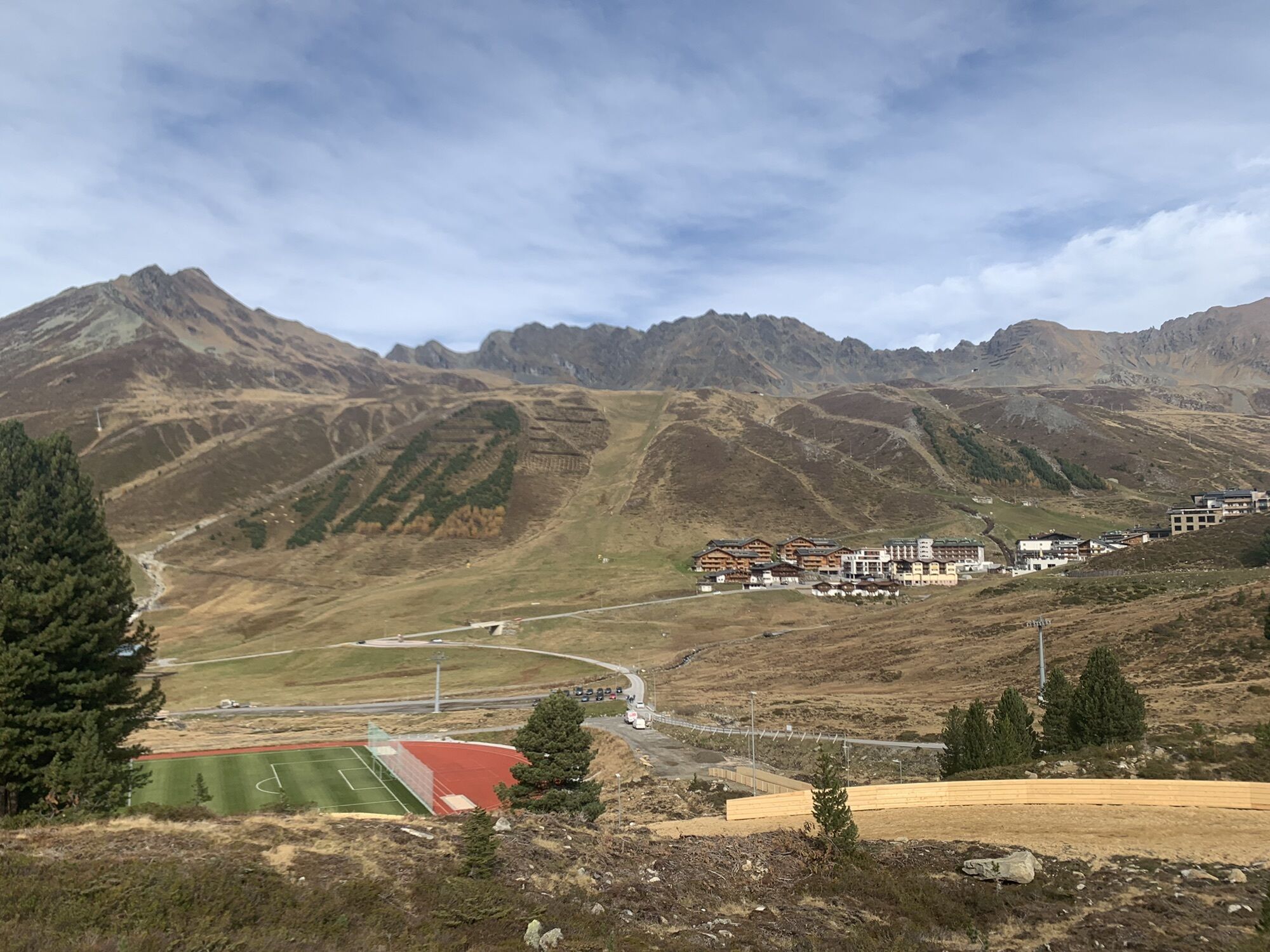
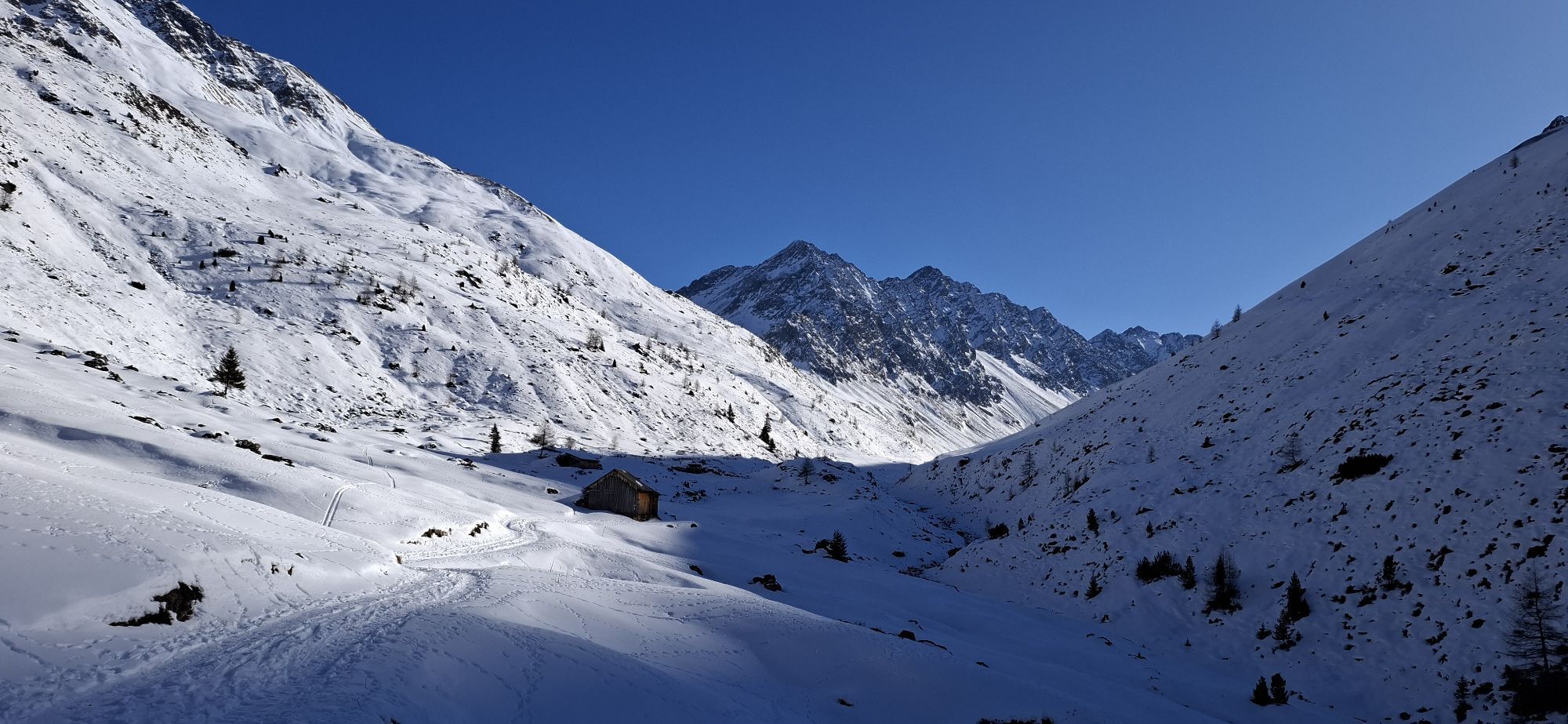
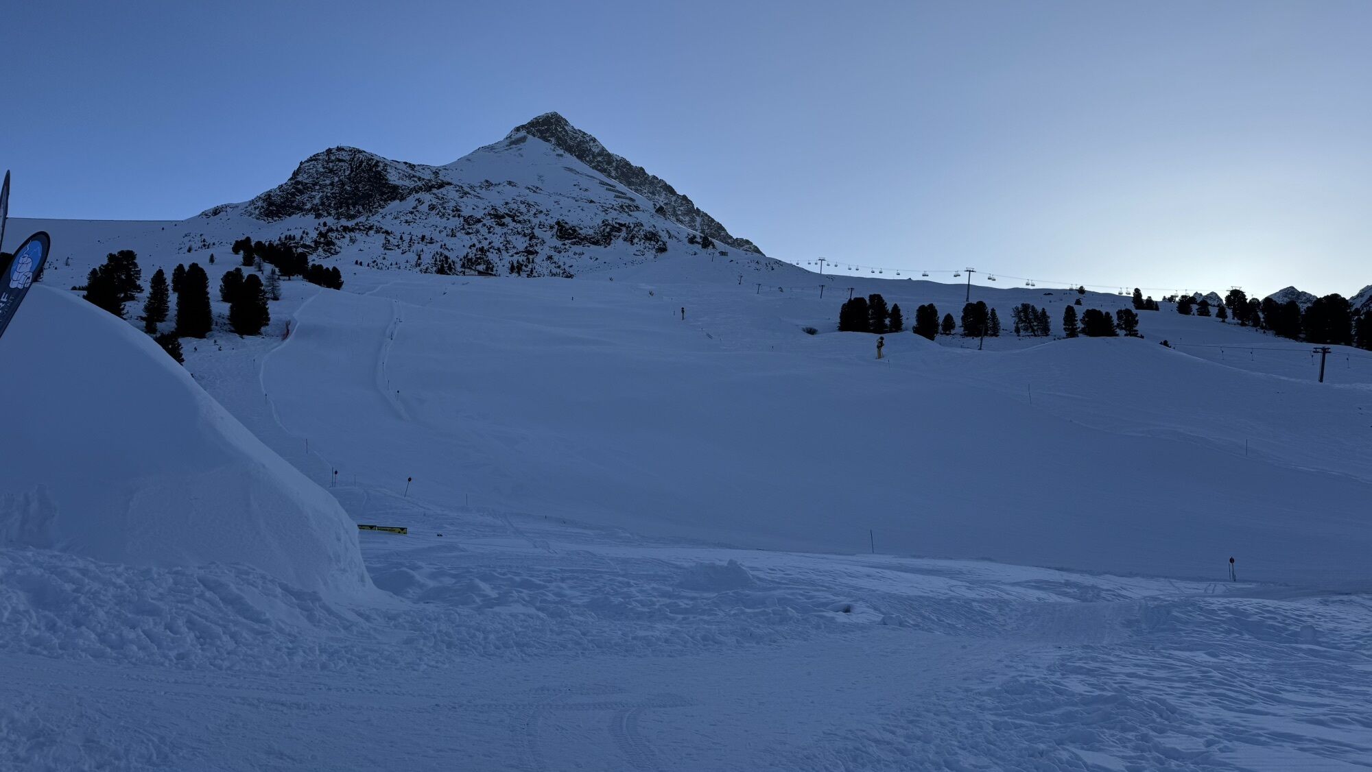
Zdjęcia naszych użytkowników
 © Silvia RottensteinerUtworzono dnia 23.10.2022
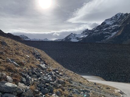 © Silvia RottensteinerUtworzono dnia 23.10.2022
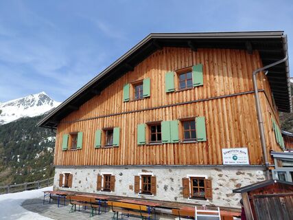
 © Sabine SteuxnerUtworzono dnia 24.03.2026
 © Sabine SteuxnerUtworzono dnia 10.03.2026
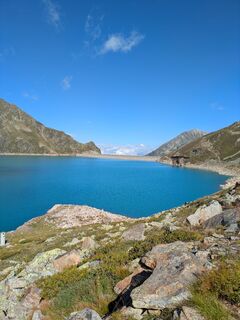
 © Martin GlaserUtworzono dnia 24.08.2025
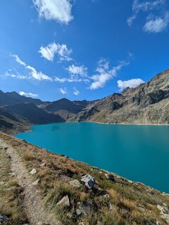 © Martin GlaserUtworzono dnia 24.08.2025
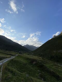
 © Dietrich PinhammerUtworzono dnia 15.08.2025
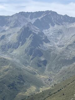 © Dietrich PinhammerUtworzono dnia 14.08.2025
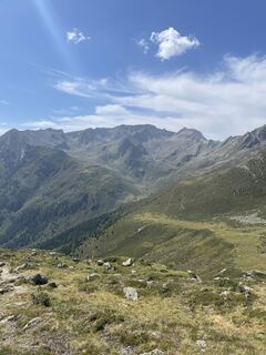 © Dietrich PinhammerUtworzono dnia 14.08.2025
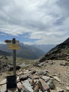 © Dietrich PinhammerUtworzono dnia 14.08.2025
 © Dietrich PinhammerUtworzono dnia 14.08.2025
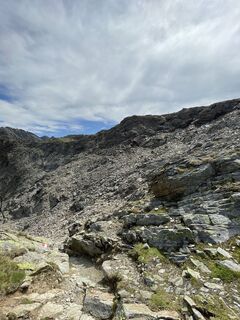 © Dietrich PinhammerUtworzono dnia 14.08.2025
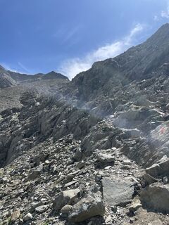 © Dietrich PinhammerUtworzono dnia 14.08.2025
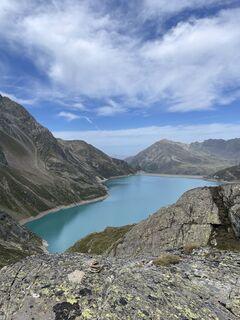 © Dietrich PinhammerUtworzono dnia 14.08.2025
 © Dietrich PinhammerUtworzono dnia 14.08.2025
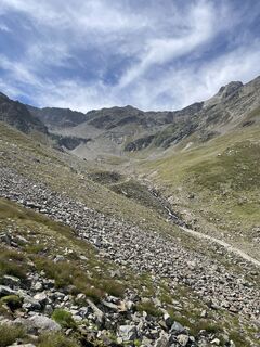 © Dietrich PinhammerUtworzono dnia 14.08.2025
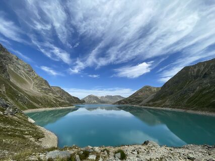 © Dietrich PinhammerUtworzono dnia 14.08.2025
 © Dietrich PinhammerUtworzono dnia 14.08.2025
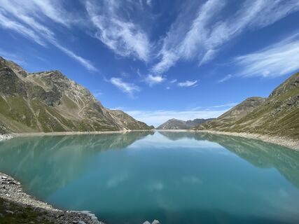 © Dietrich PinhammerUtworzono dnia 14.08.2025
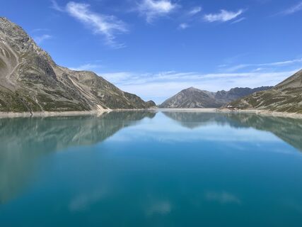 © Dietrich PinhammerUtworzono dnia 14.08.2025
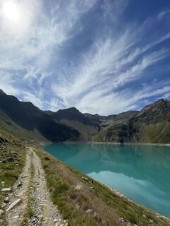 © Dietrich PinhammerUtworzono dnia 14.08.2025
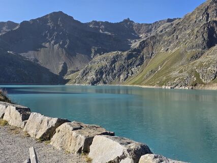 © Rainer KieningUtworzono dnia 11.08.2025
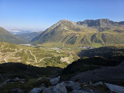 © Rainer KieningUtworzono dnia 11.08.2025
 © Rainer KieningUtworzono dnia 11.08.2025
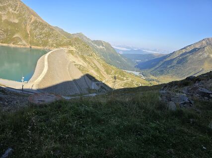 © Rainer KieningUtworzono dnia 11.08.2025
 © Rainer KieningUtworzono dnia 11.08.2025
 © Rainer KieningUtworzono dnia 11.08.2025
 © Rainer KieningUtworzono dnia 11.08.2025
 © Rainer KieningUtworzono dnia 11.08.2025
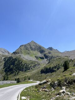 © celina_kirchhUtworzono dnia 22.06.2025
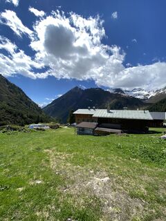
 © eva_mountaininloveUtworzono dnia 13.06.2021
 © Rainer KieningUtworzono dnia 11.08.2025
 © Rainer KieningUtworzono dnia 11.08.2025
 © Heike BlaurockUtworzono dnia 19.07.2025
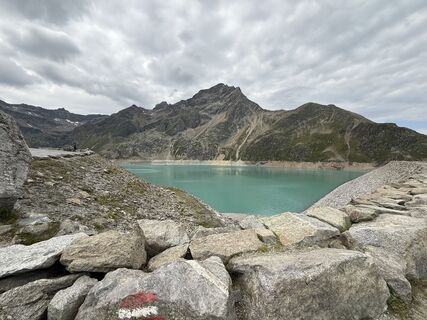 © Heike BlaurockUtworzono dnia 19.07.2025
 © Joachim AignerUtworzono dnia 16.03.2024
 © Silvia RottensteinerUtworzono dnia 23.10.2022
 © Silvia RottensteinerUtworzono dnia 23.10.2022
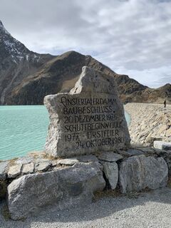 © Silvia RottensteinerUtworzono dnia 23.10.2022
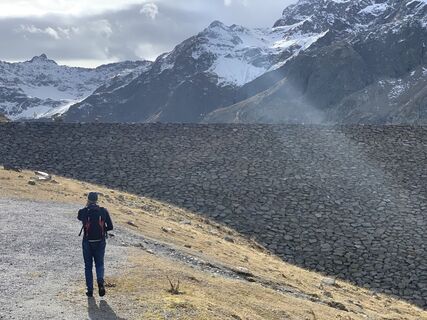 © Silvia RottensteinerUtworzono dnia 23.10.2022
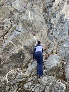 © Silvia RottensteinerUtworzono dnia 23.10.2022
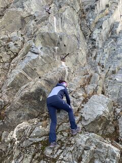 © Silvia RottensteinerUtworzono dnia 23.10.2022
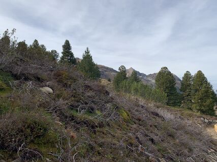 © Silvia RottensteinerUtworzono dnia 23.10.2022
 © Silvia RottensteinerUtworzono dnia 23.10.2022
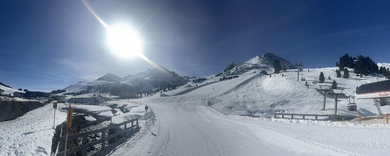
 © STLA1977Utworzono dnia 09.04.2026
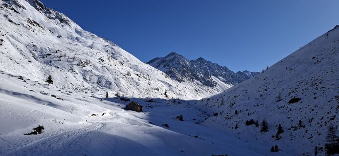
 © Adriano PlacenzottoUtworzono dnia 21.01.2026
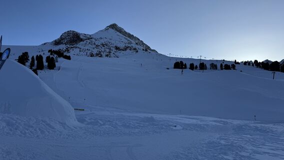
 © Willibald BRIZAUtworzono dnia 19.01.2026
 © Willibald BRIZAUtworzono dnia 19.01.2026


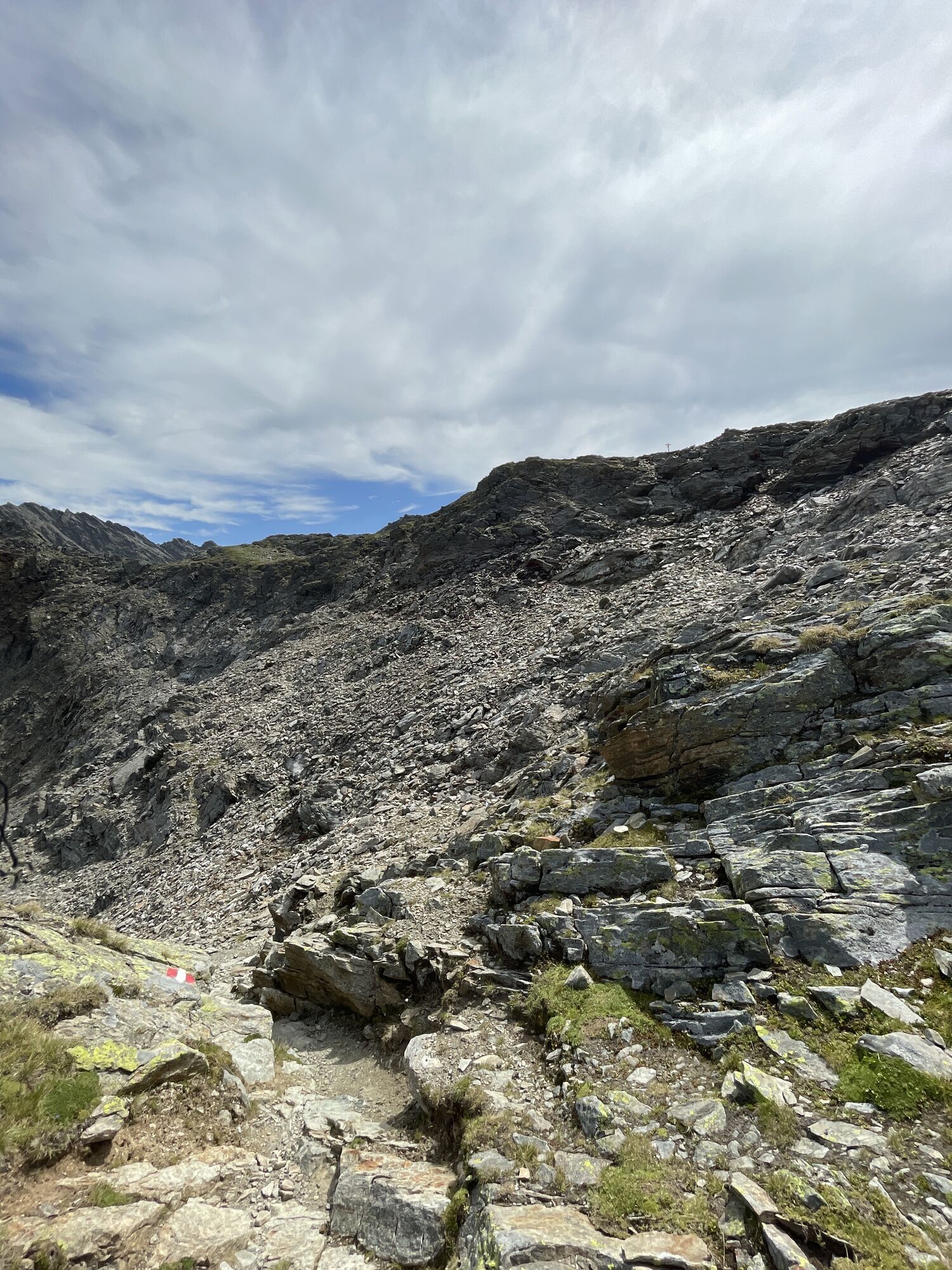
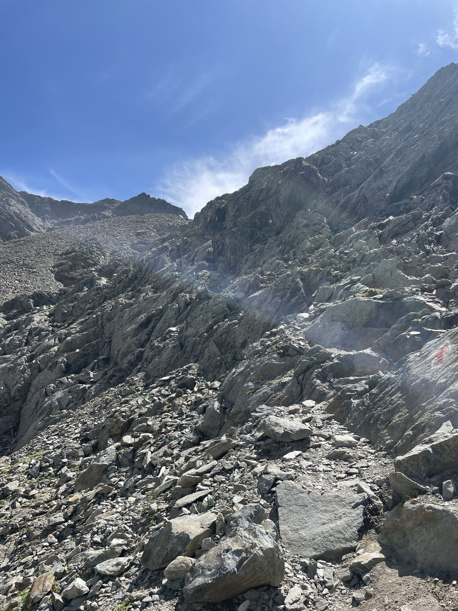


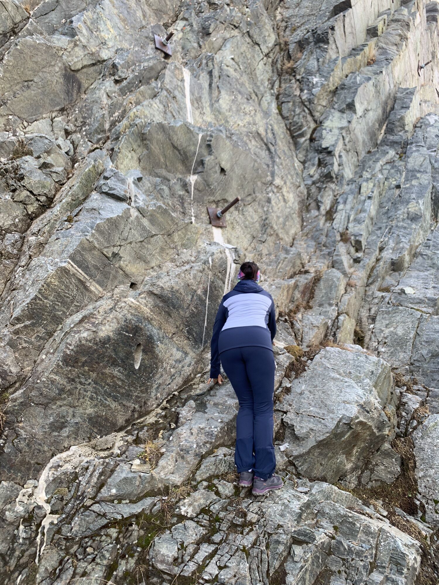


Route: trail, footpath Requirements: sure-footedness, basic lack of fear of heights Mountain path red | black Difficulty: no special difficulties Equipment: normal hiking equipment Overnight stay, refreshment:...
Route: trail, footpath
Requirements: sure-footedness, basic lack of fear of heights
Mountain path red | black
Difficulty: no special difficulties
Equipment: normal hiking equipment
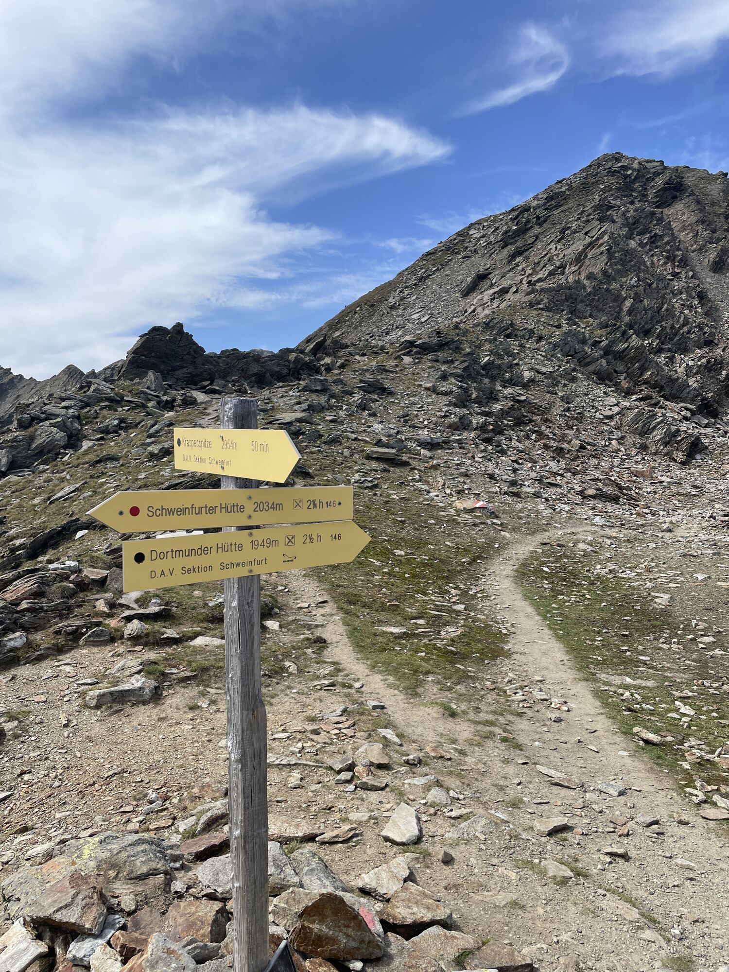
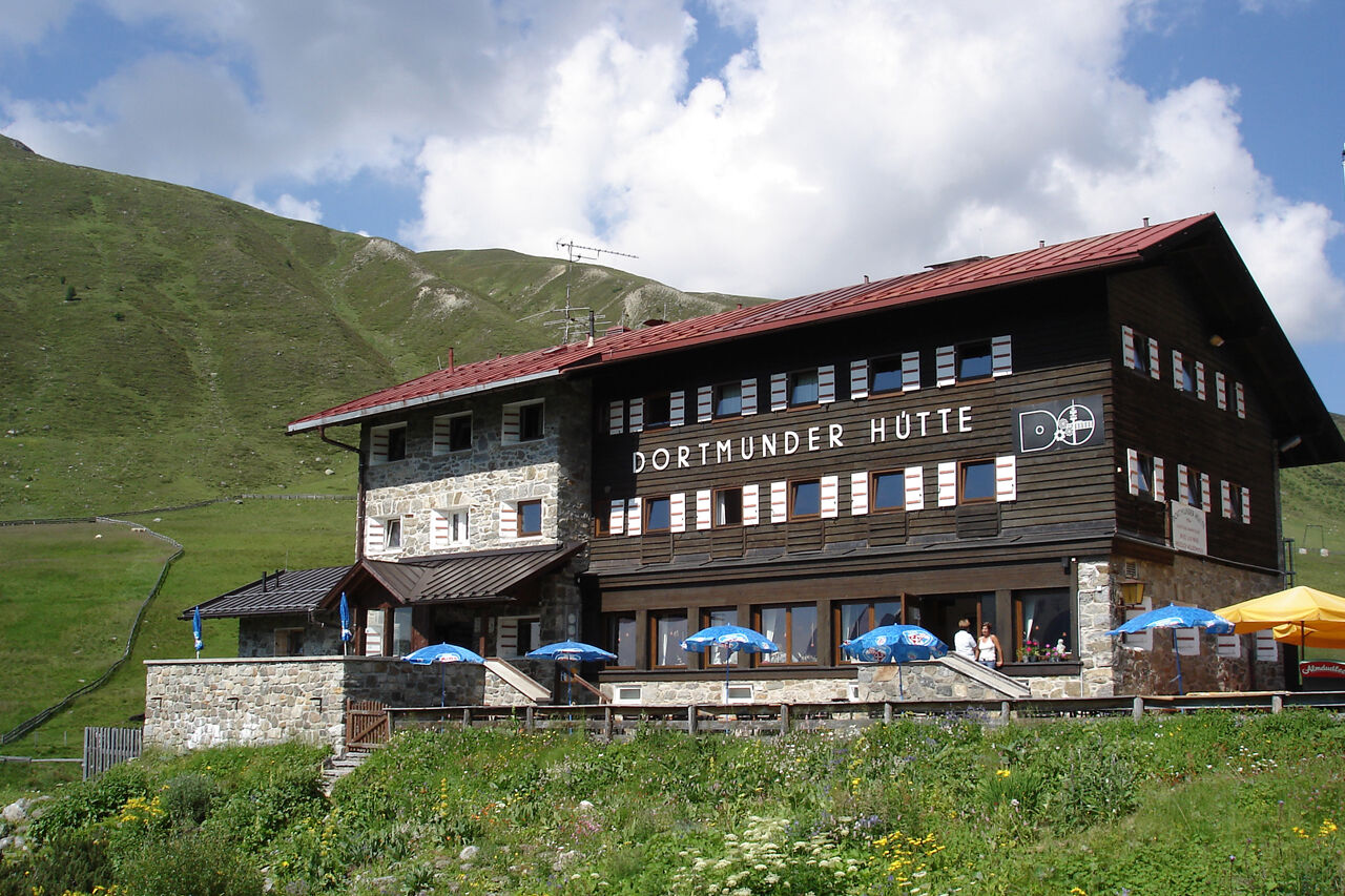
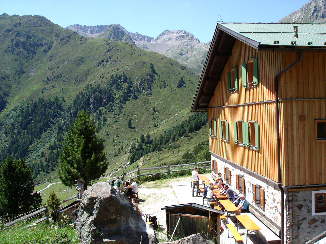
Overnight stay, refreshment: Dortmunder Hut, Schweinfurter Hut


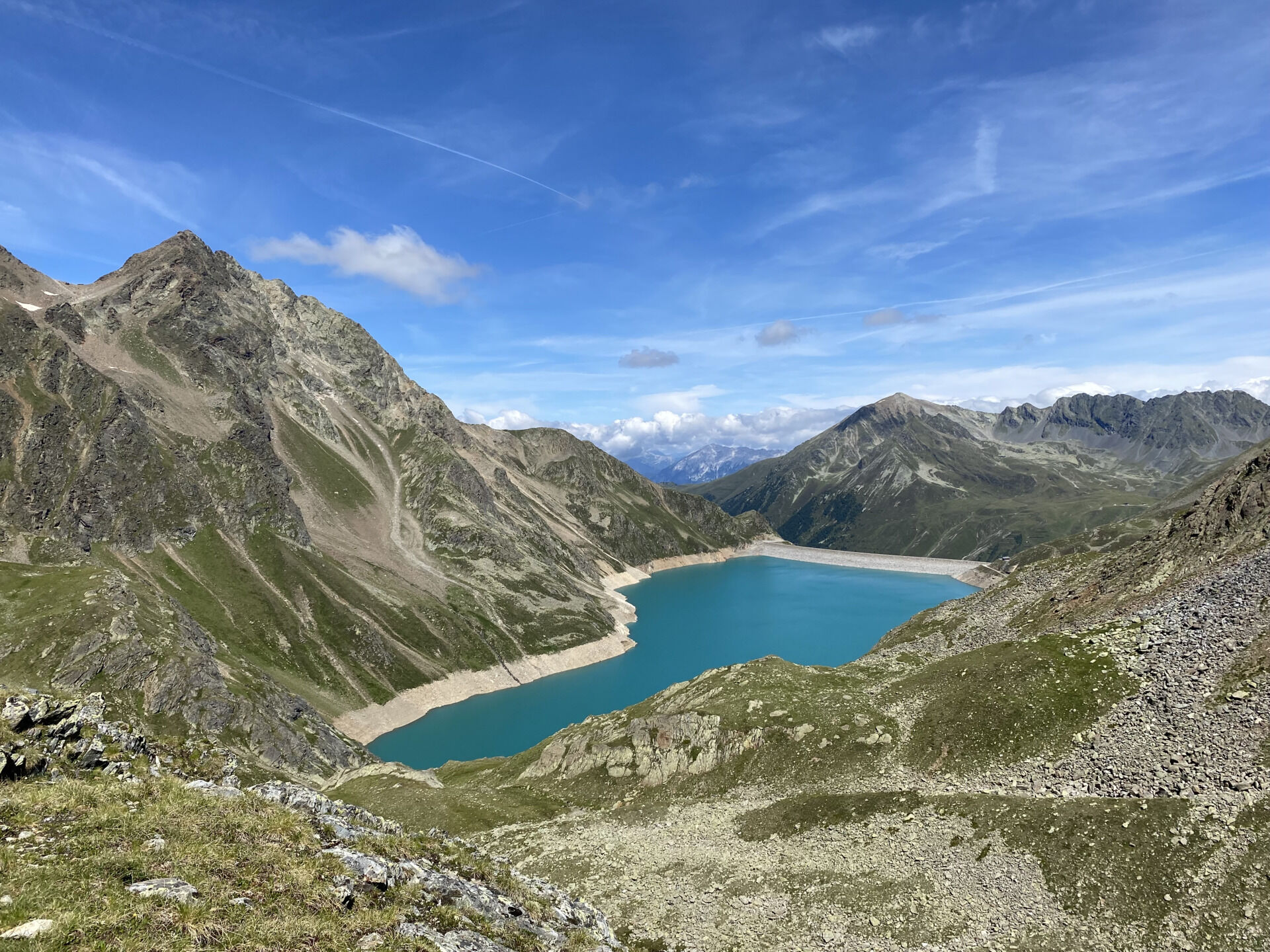
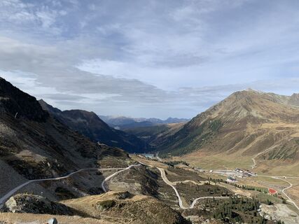
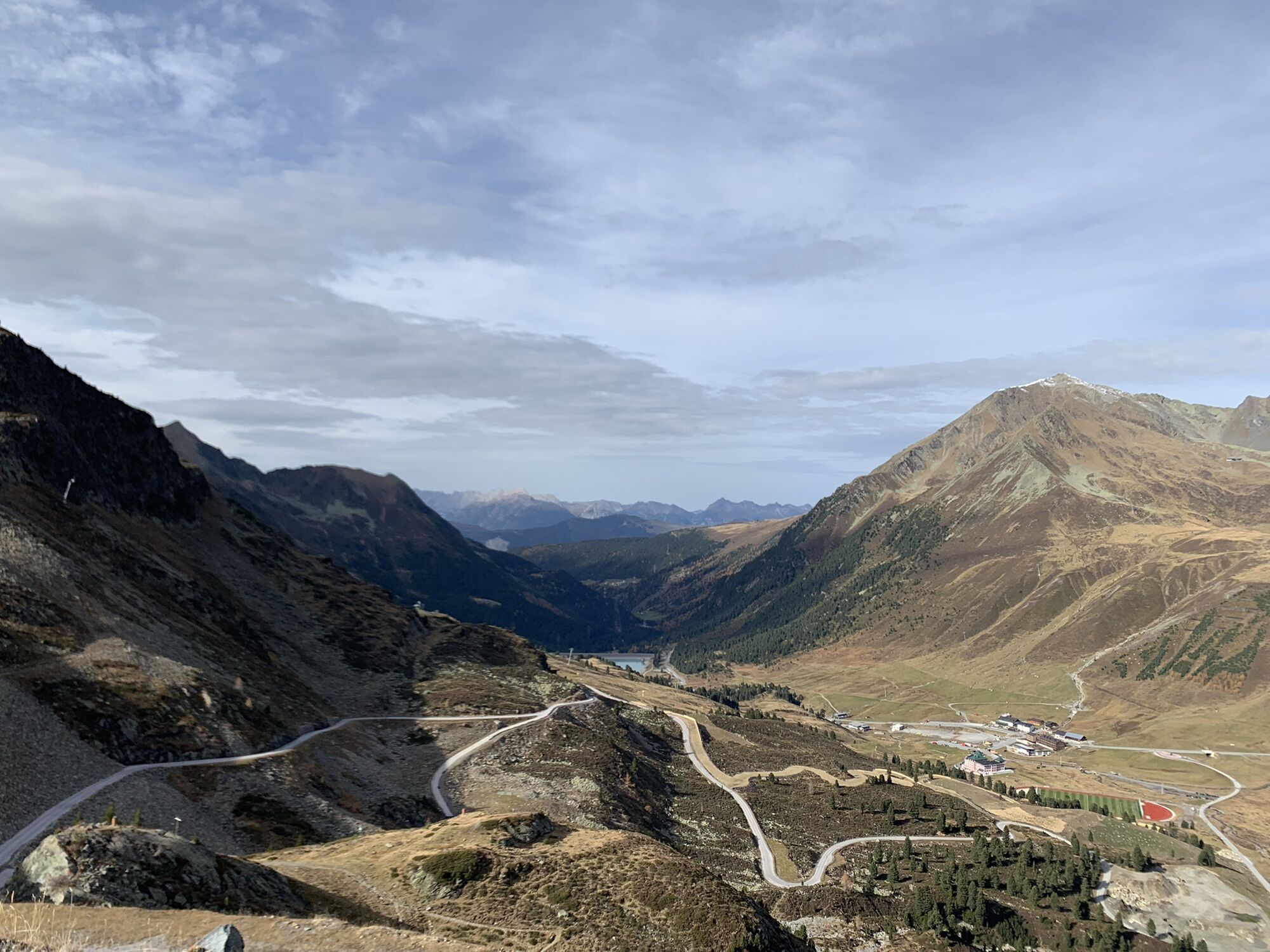
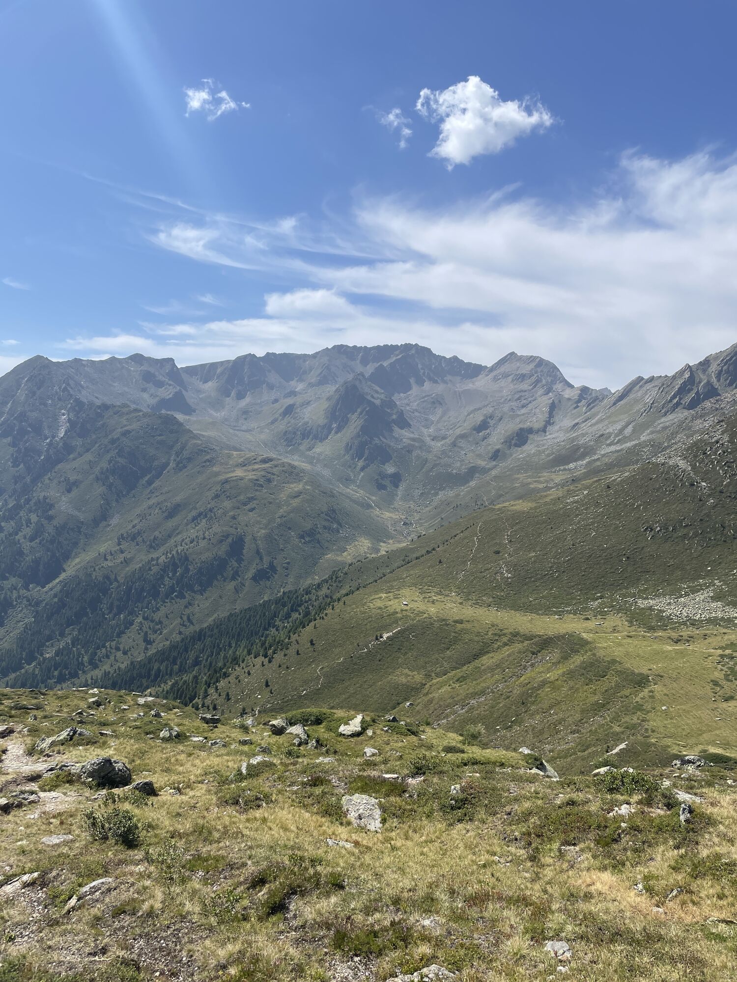
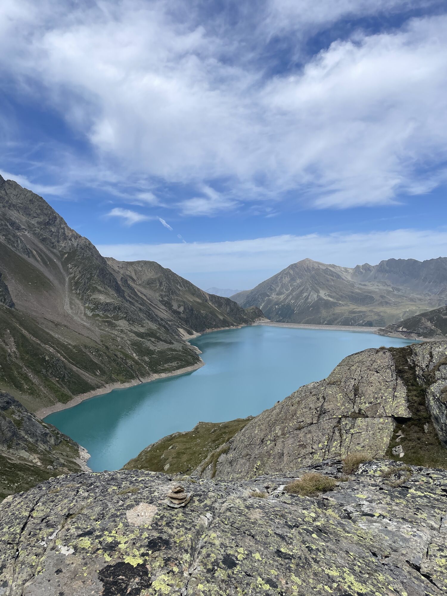
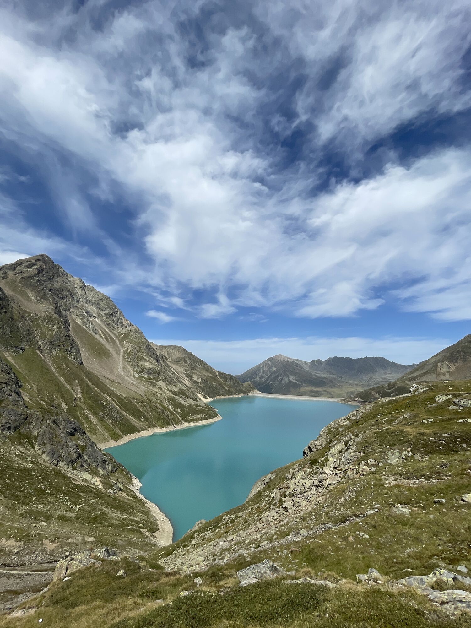
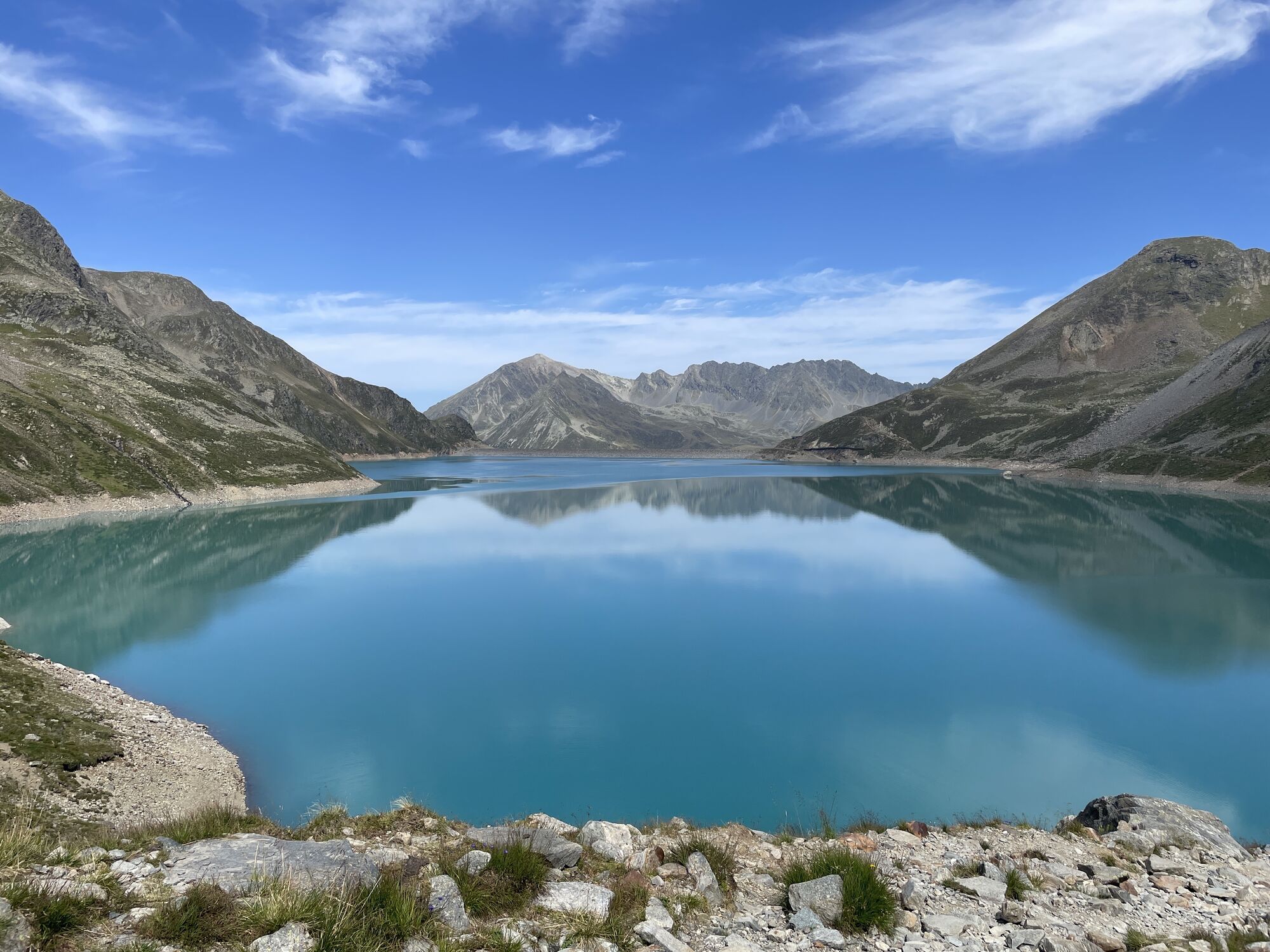
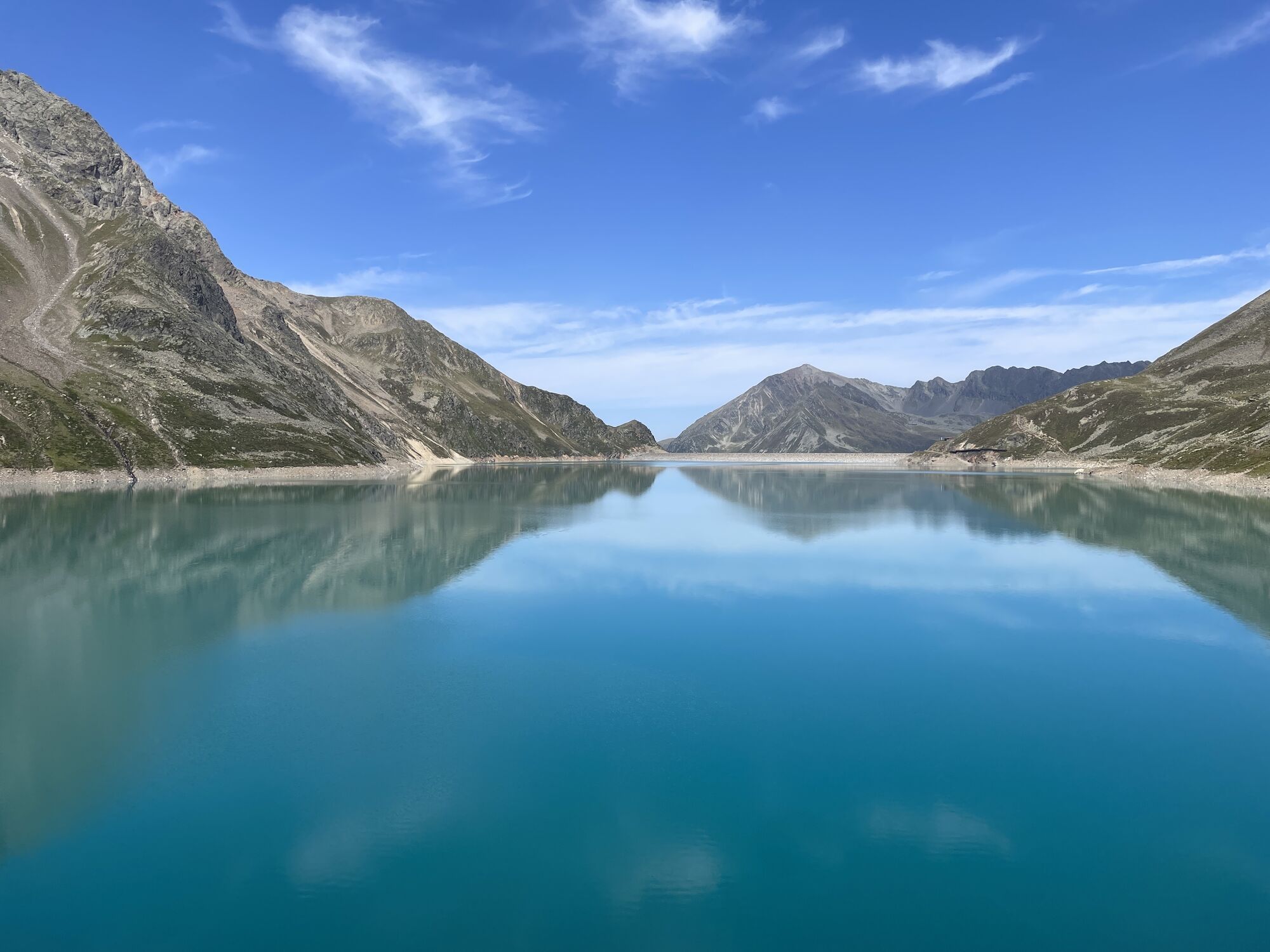
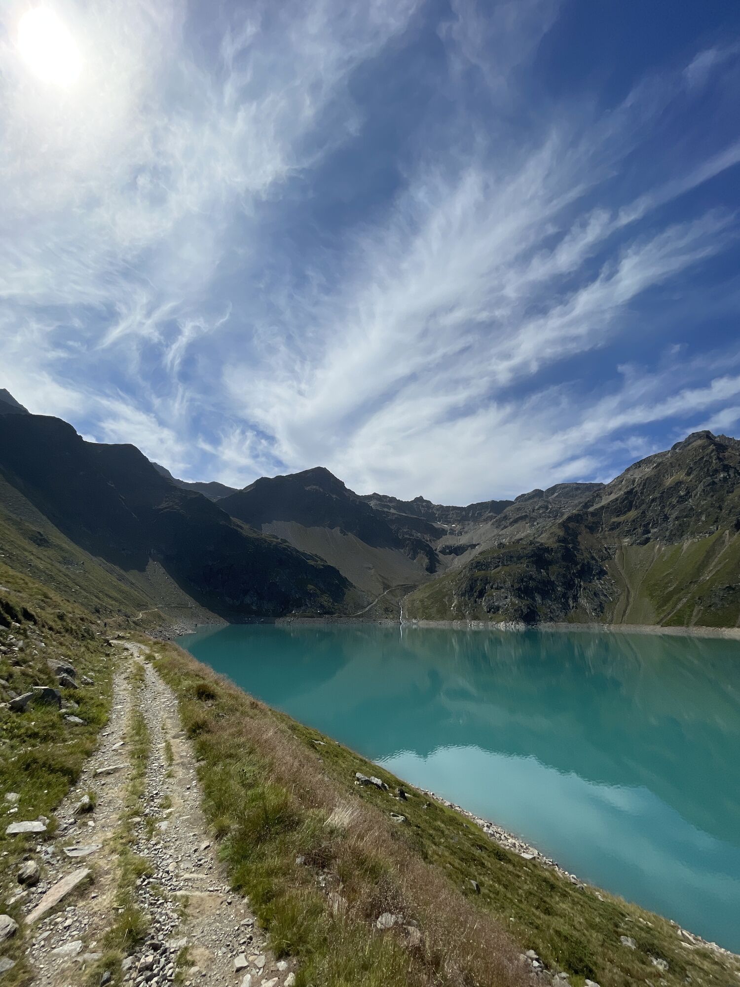
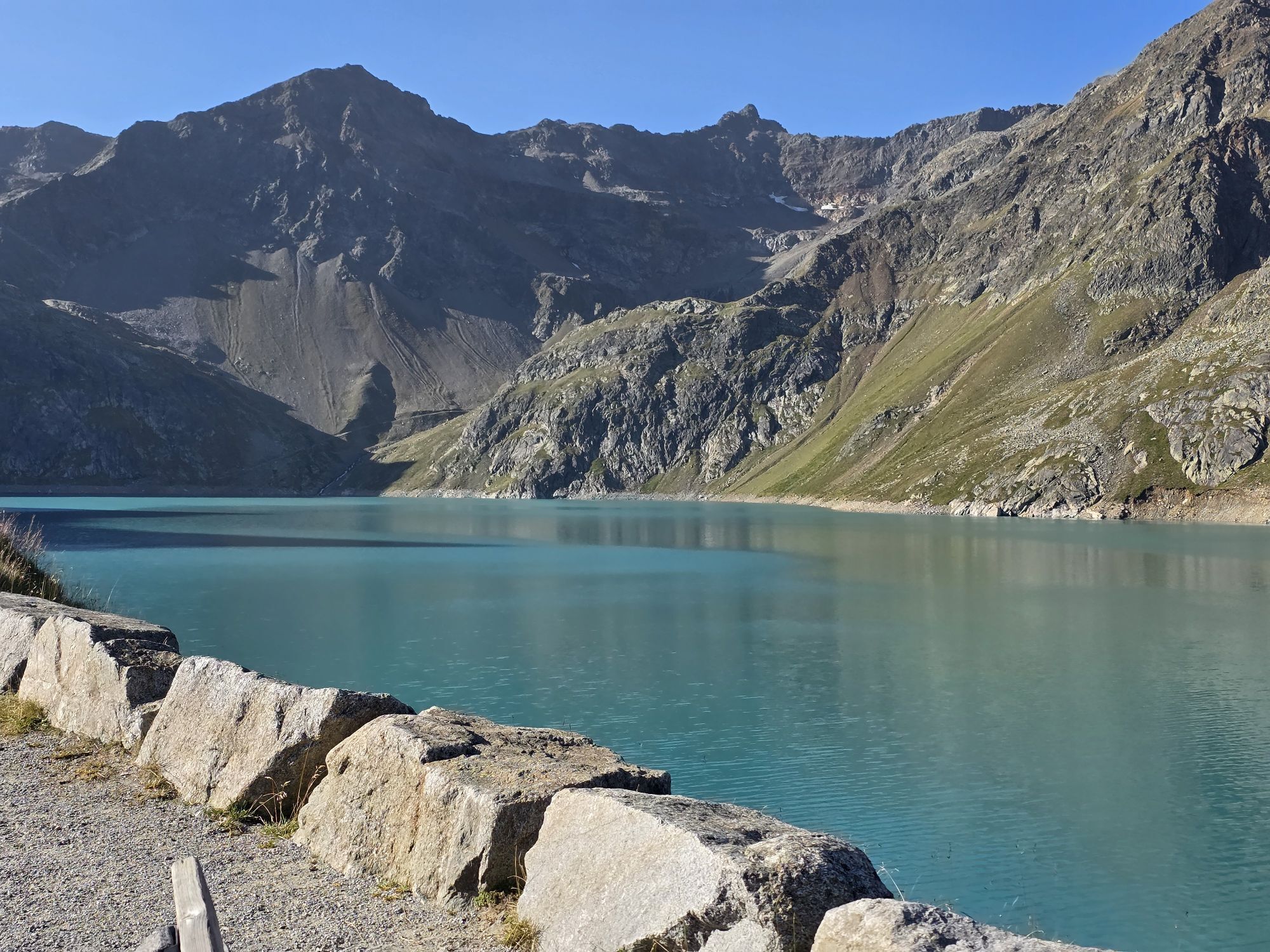
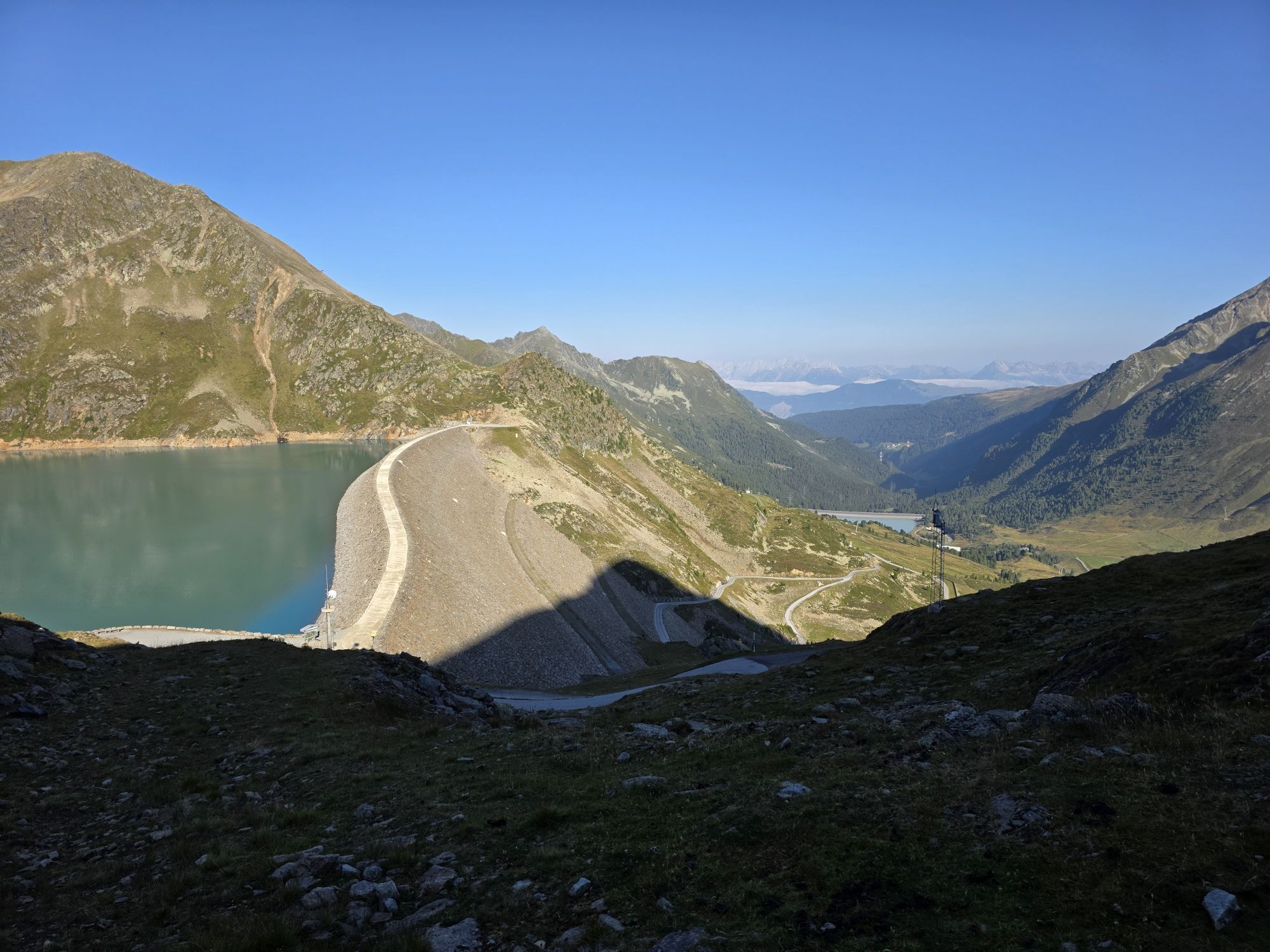
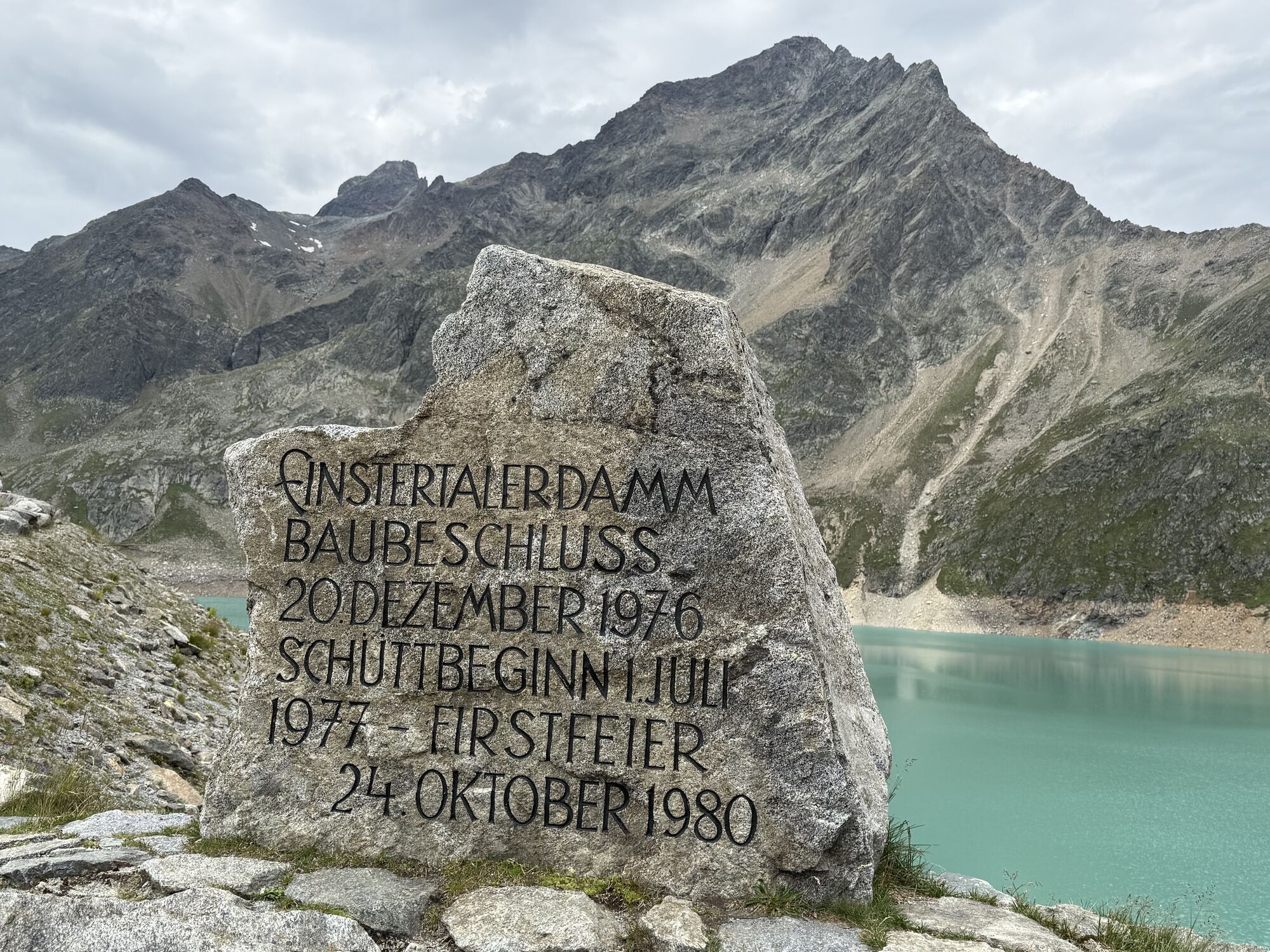
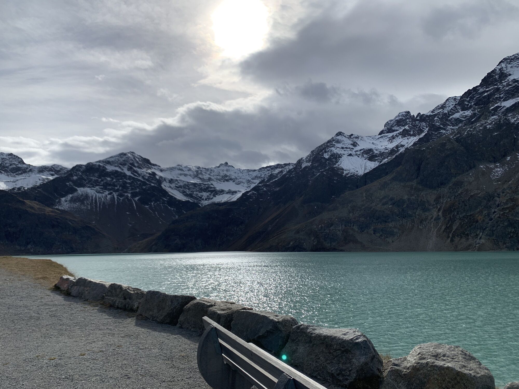
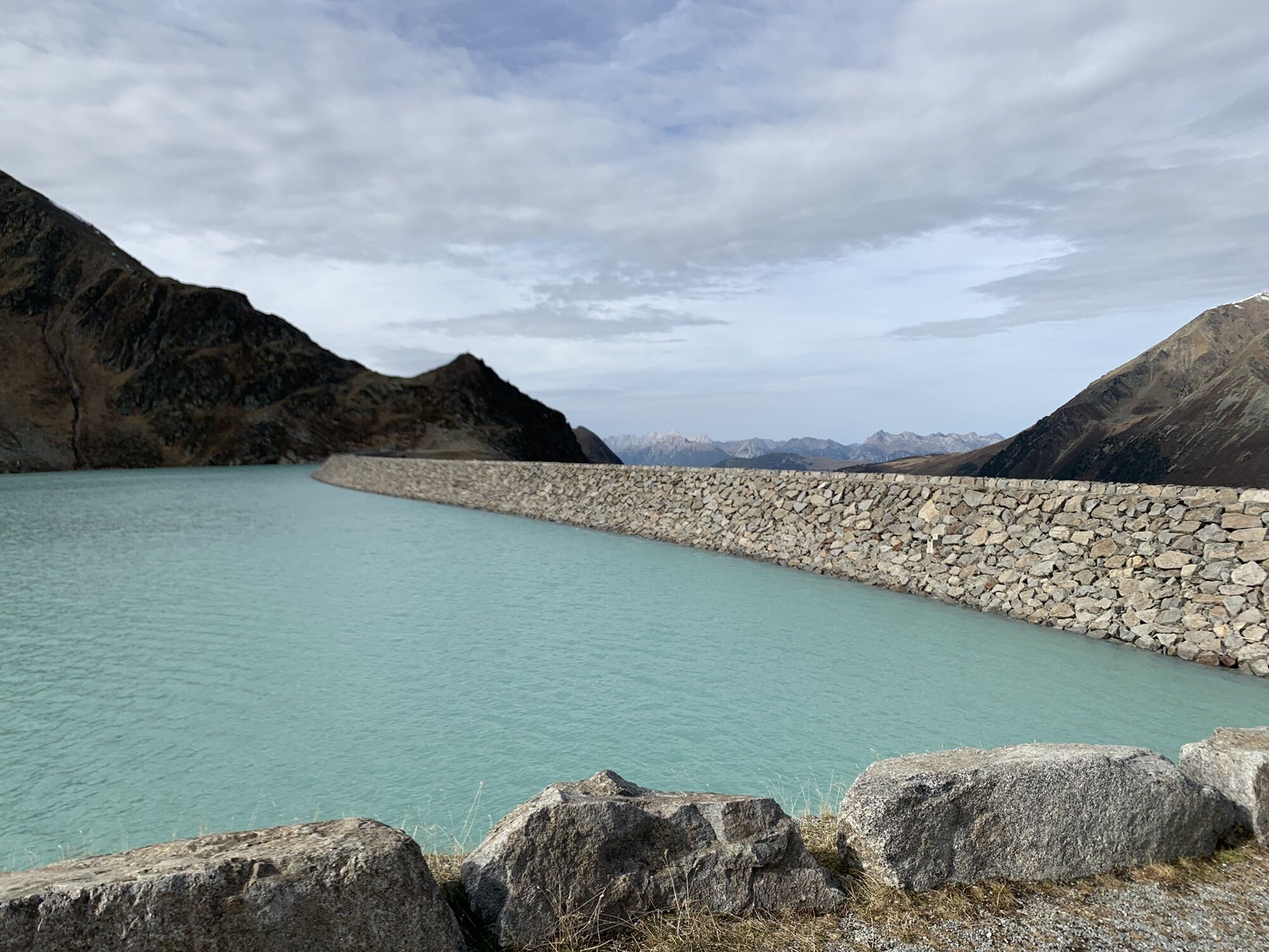
ALMOST A SEA IN THE HIGH MOUNTAINS
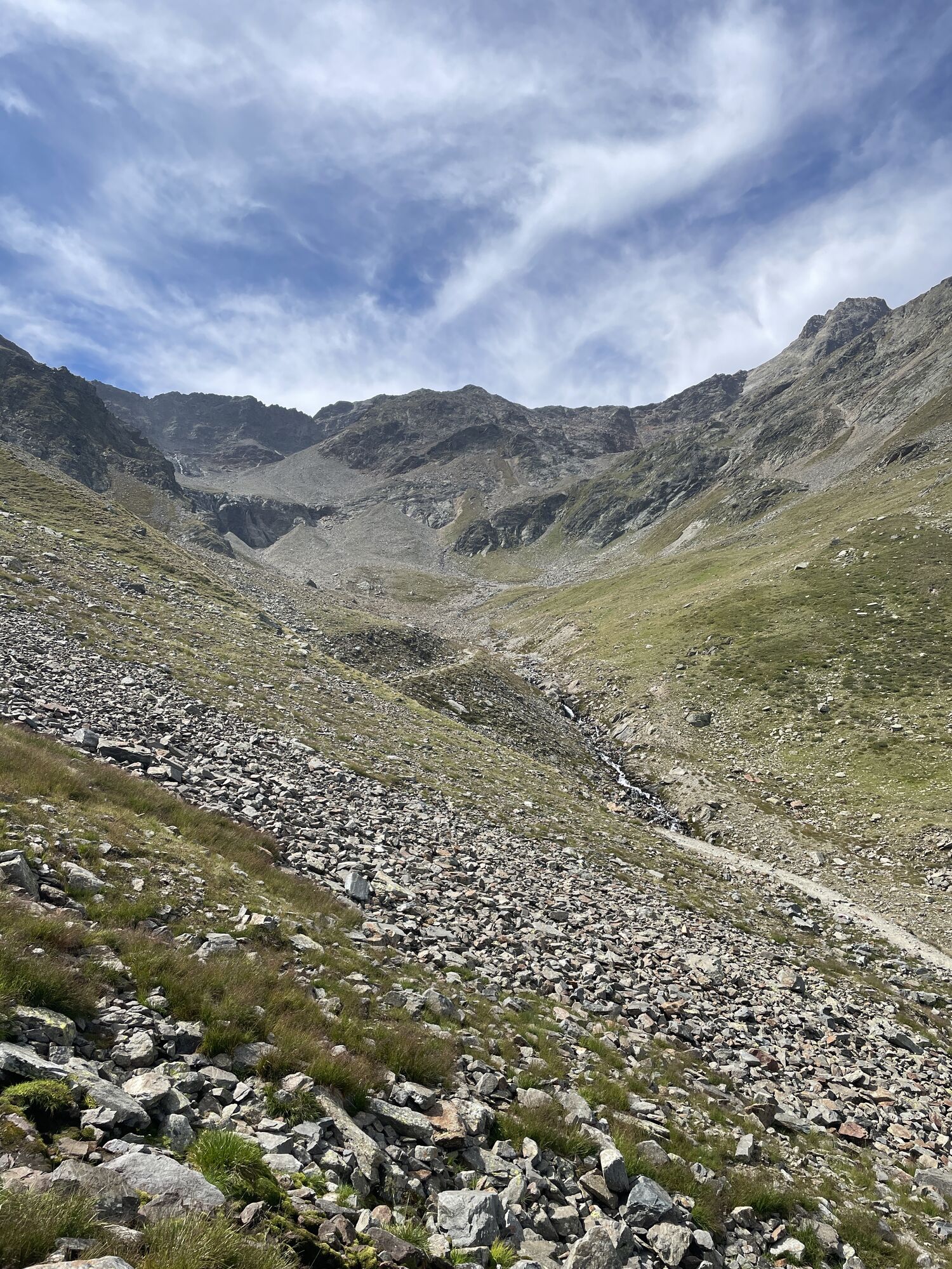
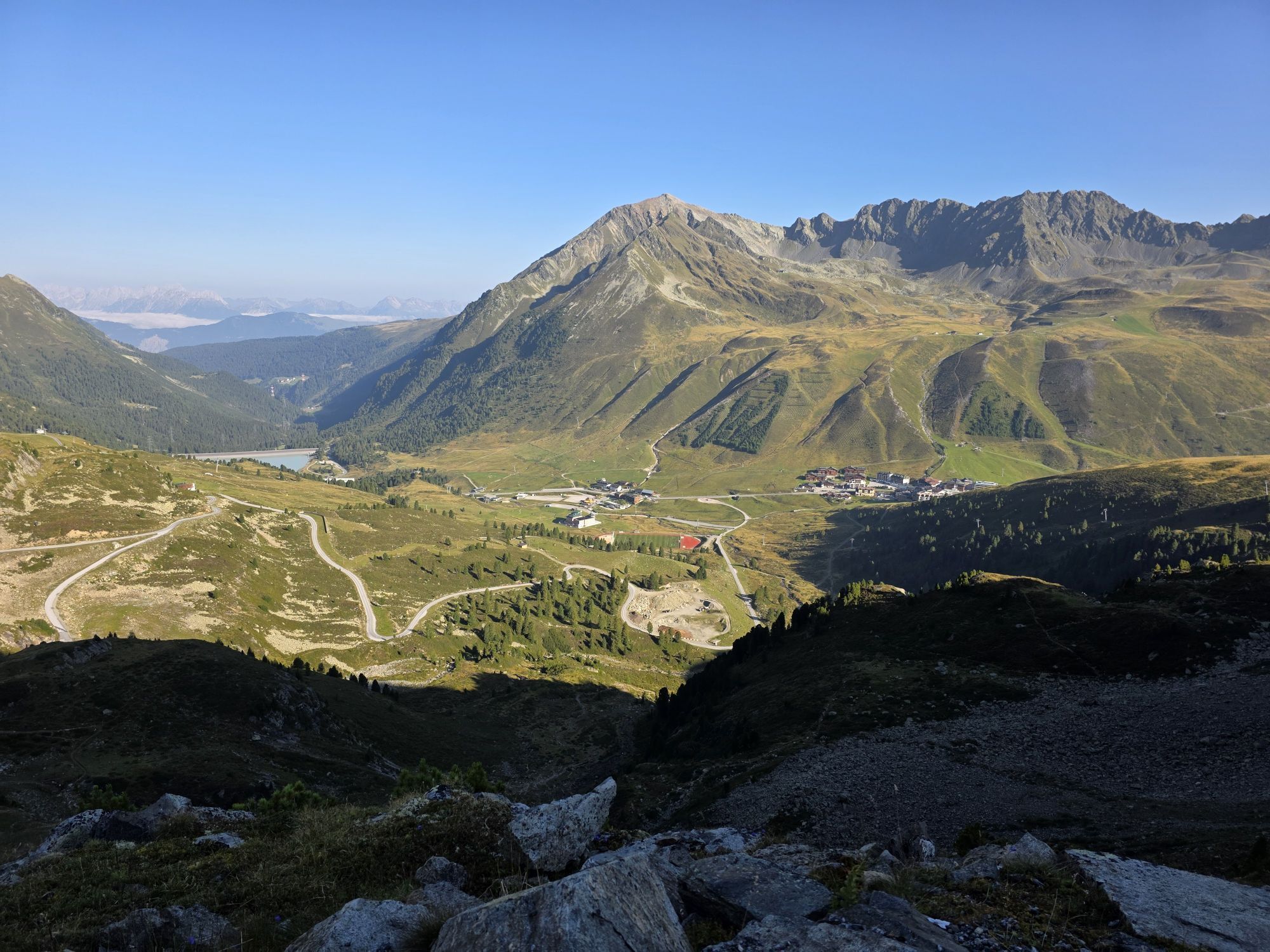
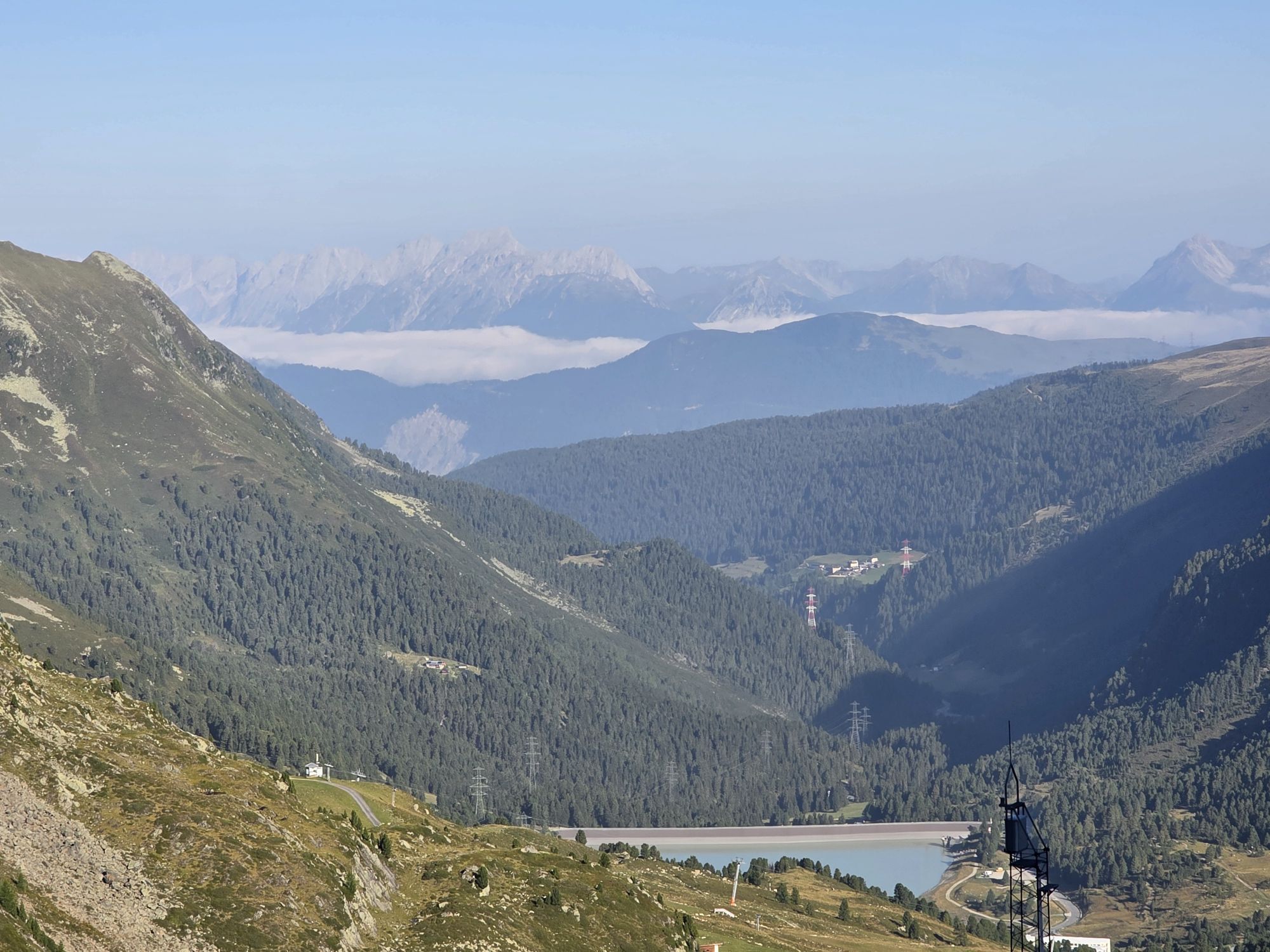
At the beginning of the village Kühtai, follow the signs to the "Finstertaler Scharte" or the "Schweinfurter Hut". East of the road to the Finstertaler reservoir, the trail leads upwards through meadows, always with the massive 149-meter-high stone dam in view. After a steep slope, you reach the dam crest of the reservoir, which has a capacity of 60 million cubic meters. The path continues east of the lake until it ascends quite steeply in a basin on the southern shore and then steeply up to the Finstertaler Scharte. From the notch, at 2,777 meters, there is a great view: to the south you can see the Wildspitze, Tyrol's highest mountain at 3,768 meters. On the descent, the route leads through alpine pasture land before descending in switchbacks, mostly alongside the stream, to the Schweinfurter Hut. This hut is located where the Horlachtal and Zwieselbachtal meet.
Tak
Appropriate equipment such as breathable and weather-appropriate outdoor clothing is required for all hikes and routes. It is necessary to carry a first aid kit, a mobile phone, and possibly a hiking map, as well as sufficient provisions for hikes without the option to stop for refreshments.
Moderate mountain path; suitable for sure-footed and experienced hikers; good physical condition, mountain experience, and mountain equipment (see equipment) necessary. Please pay attention to the current weather report.
The car drive to ÖTZTAL. Located in Tyrol, the Ötztal branches off to the south as the longest side valley of the Eastern Alps. Traveling by car leads visitors along the Inn valley to the valley entrance and continues along the Ötztal. In addition to the toll motorway, country roads can also be used. You can quickly and conveniently plan your trip with the route planner: To the route planner: https://www.google.at/maps
Travel comfortably and safely by train to the Ötztal train station. The final stop or exit point is ÖTZTAL station. Afterwards, you can conveniently and quickly travel through the entire valley to your desired destination using public transport or local taxi companies.
The current bus schedule is available at: http://fahrplan.vvt.at
The following parking options are available in Silz:
At the train stationT3
Did you know that…
...4.5m³ of rock was used for the embankment of the dam, all of which came exclusively from the area of today's reservoir?
More information about hiking in Ötztal: www.oetztal.com/wandern
Stage 2 as a Day Route
Kühtai – Dortmunder Hut (1,949 m) – Schweinfurter Hut (2,036 m) – Larstigalm (1,777 m) – descent to Niederthai (1,550 m)
Please note that the start and end points are not the same. If possible, travel by public transport or make sure you can return to your car at the end of your hikes.
Popularne wycieczki w okolicy
- 4,5
Winnebachsee Hut – Längenfeld/Gries
średniWędrówka 4,74 km - 4,4
Stuibenfall Umhausen circular hike
światłoWędrówka 9,32 km - 4,1
Hike Stuibenfall - Umhausen
światłoWędrówka 2,95 km - 4,3
Lampsenspitze, Sellrain, Tirol
średniWycieczka narciarska 4,97 km - 4,3
Amberger Hut - Längenfeld/Gries
średniWędrówka 5,60 km - 4,5
Oetz - Piburger See - Oetz
średniWędrówka 7,16 km - 4,4
Rundwanderung Hängebrück3
światłoWędrówka 6,32 km - 4,7
Winter circular route Brandalm/Burgstein - Längenfeld 204
średniWędrówka zimą 5,44 km - 4,4
Hundstalsee
średniWędrówka 7,35 km - 4,6
Summit route Faltegartenköpfl
średniWędrówka 4,04 km
Wędrówki i tropienie


Nie przegap ofert i inspiracji na następne wakacje
Twój adres e-mail została dodana do listy mailingowej.