


Ötztal Trek stage 3
Poziom trudności: T3


Route: forest road, trail Requirements: endurance Mountain path red Difficulties: no special difficulties Equipment: normal hiking equipment; sturdy mountain boots Overnight stays, refreshments: Schweinfurter...
Route: forest road, trail
Requirements: endurance
Mountain path red
Difficulties: no special difficulties
Equipment: normal hiking equipment; sturdy mountain boots
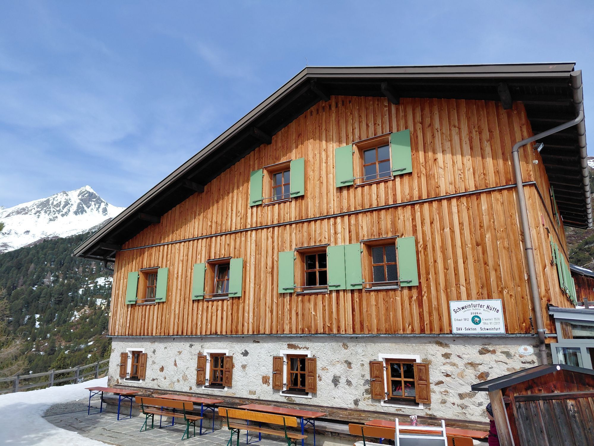
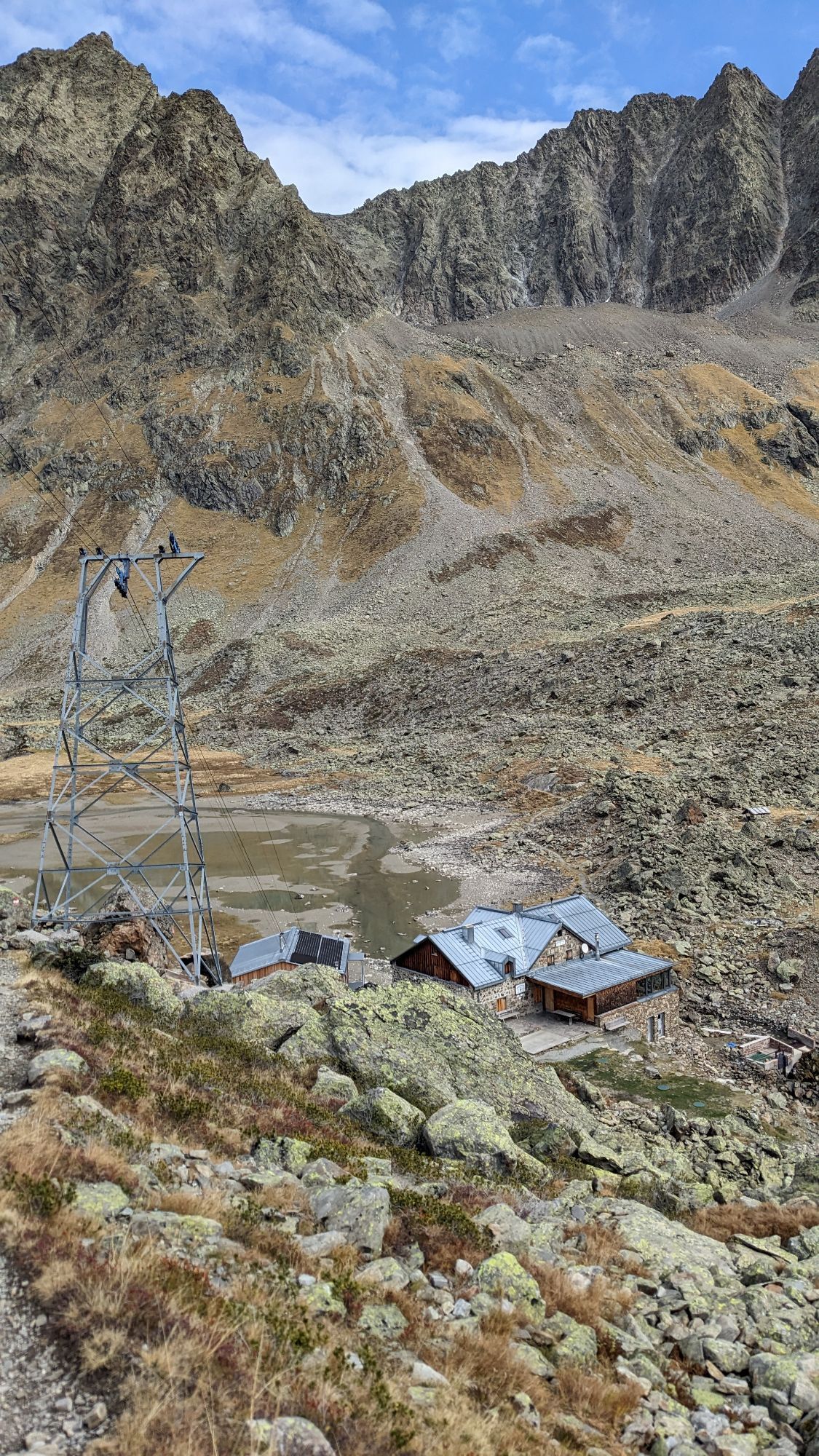
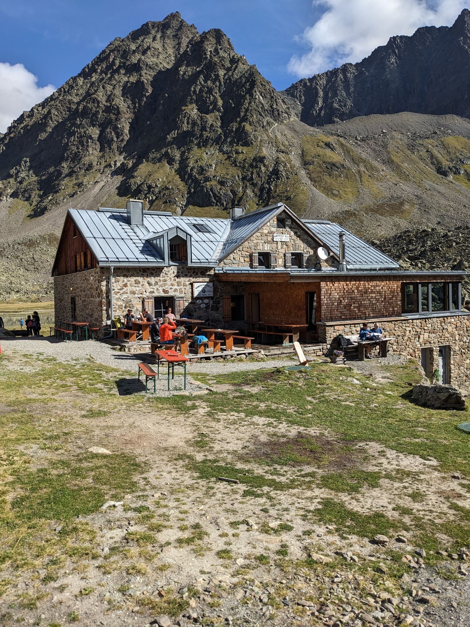
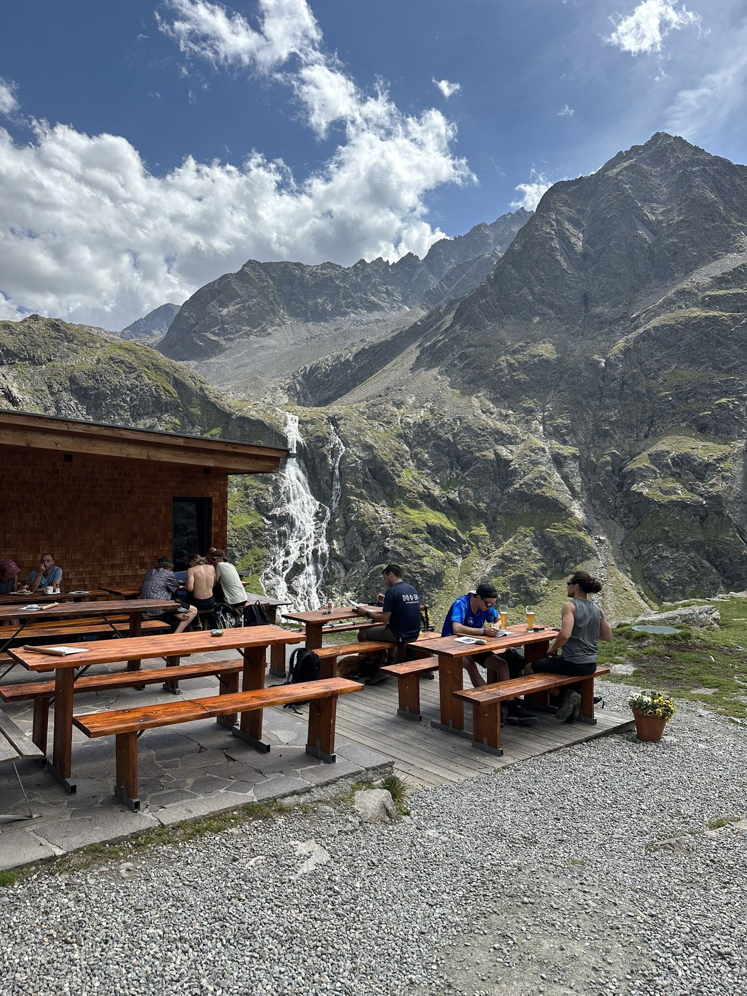
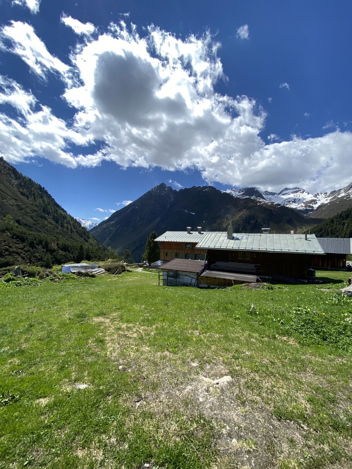
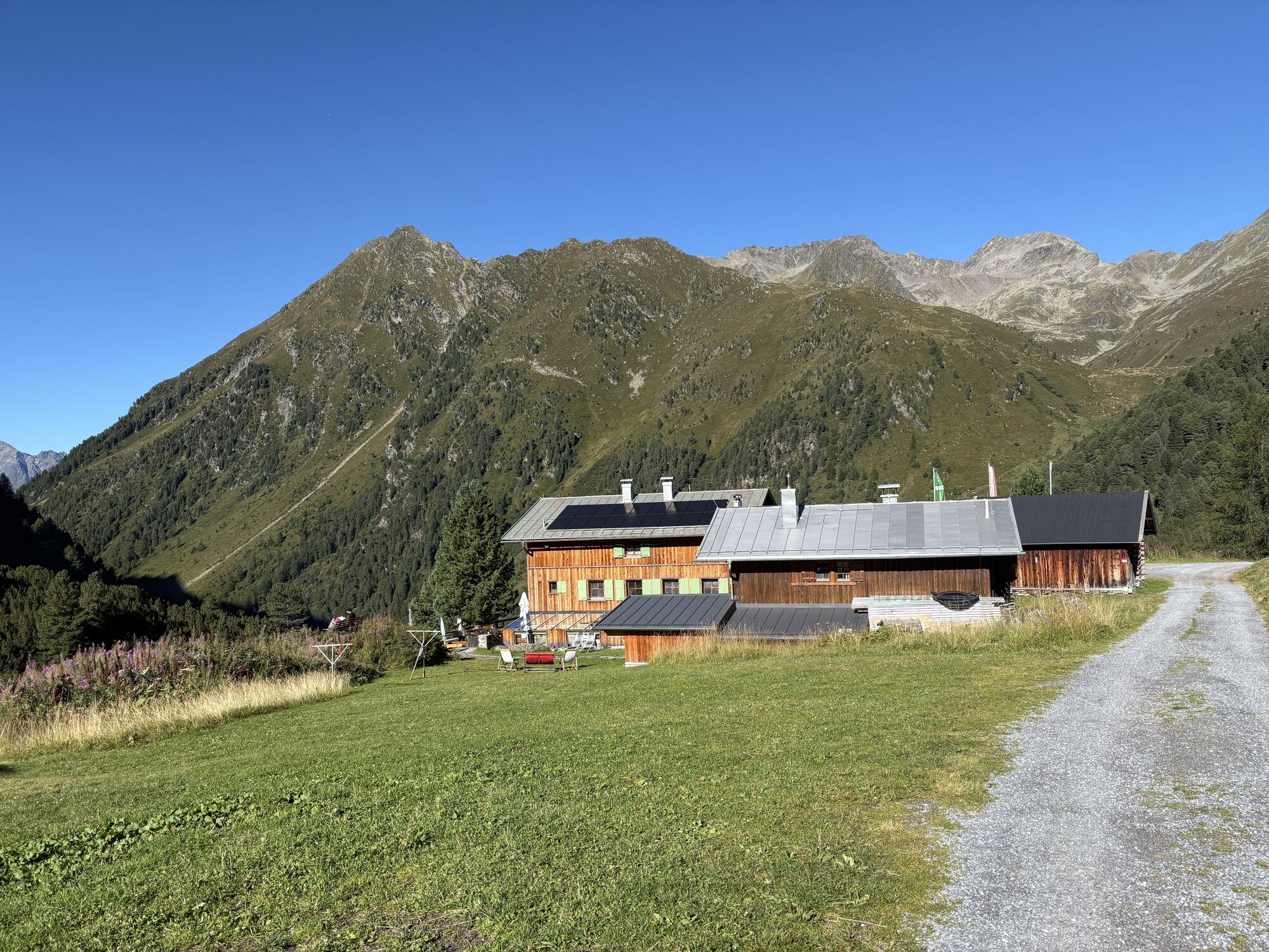
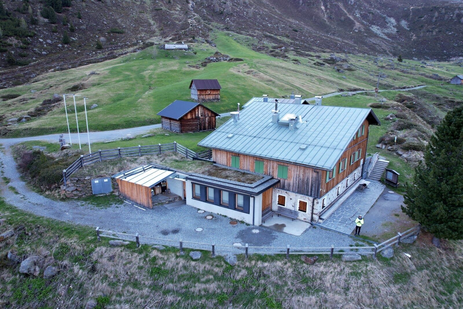
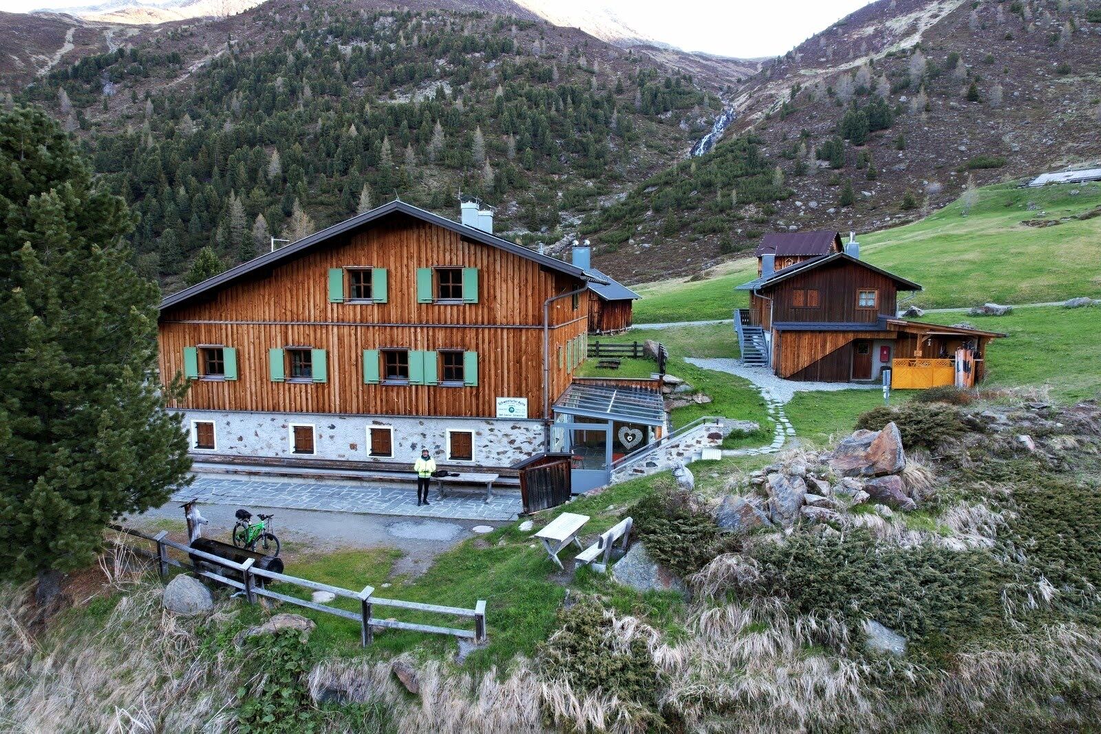
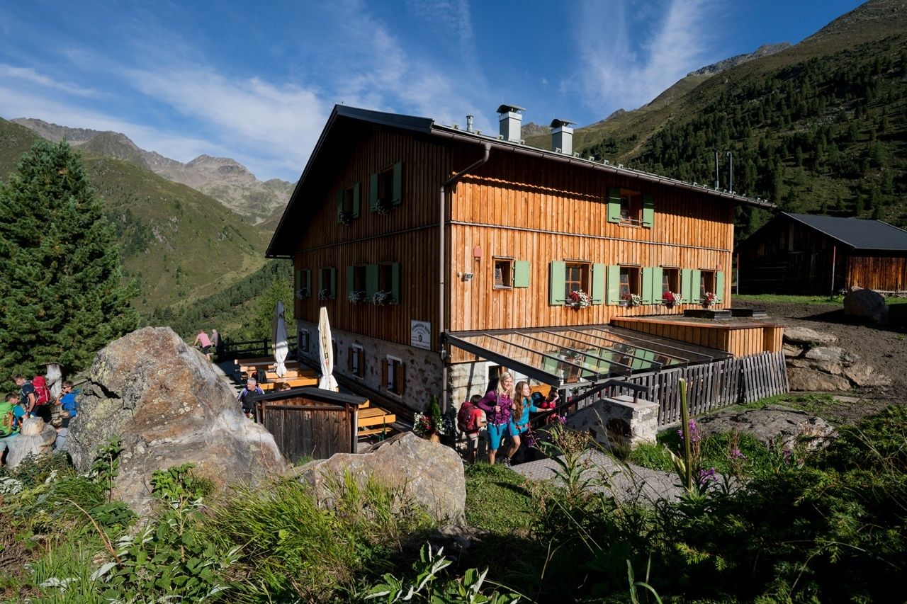
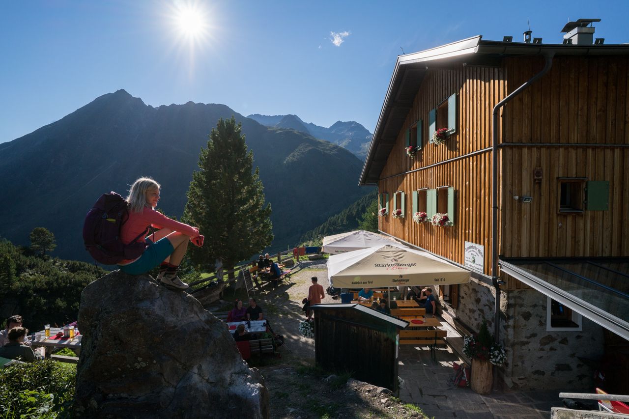
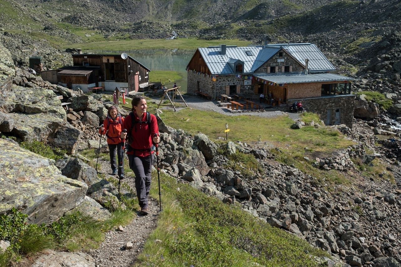
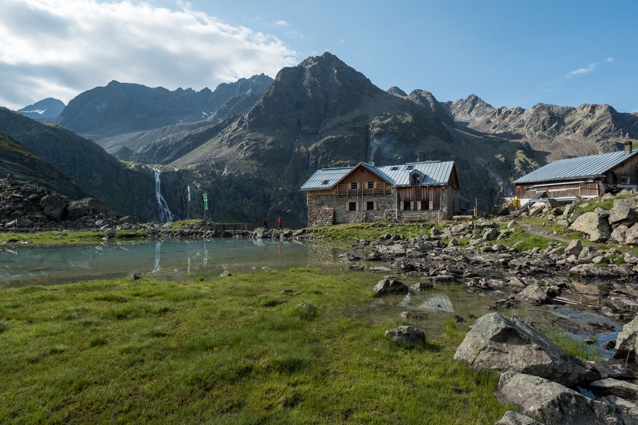
Overnight stays, refreshments: Schweinfurter Hütte, Winnebachseehütte


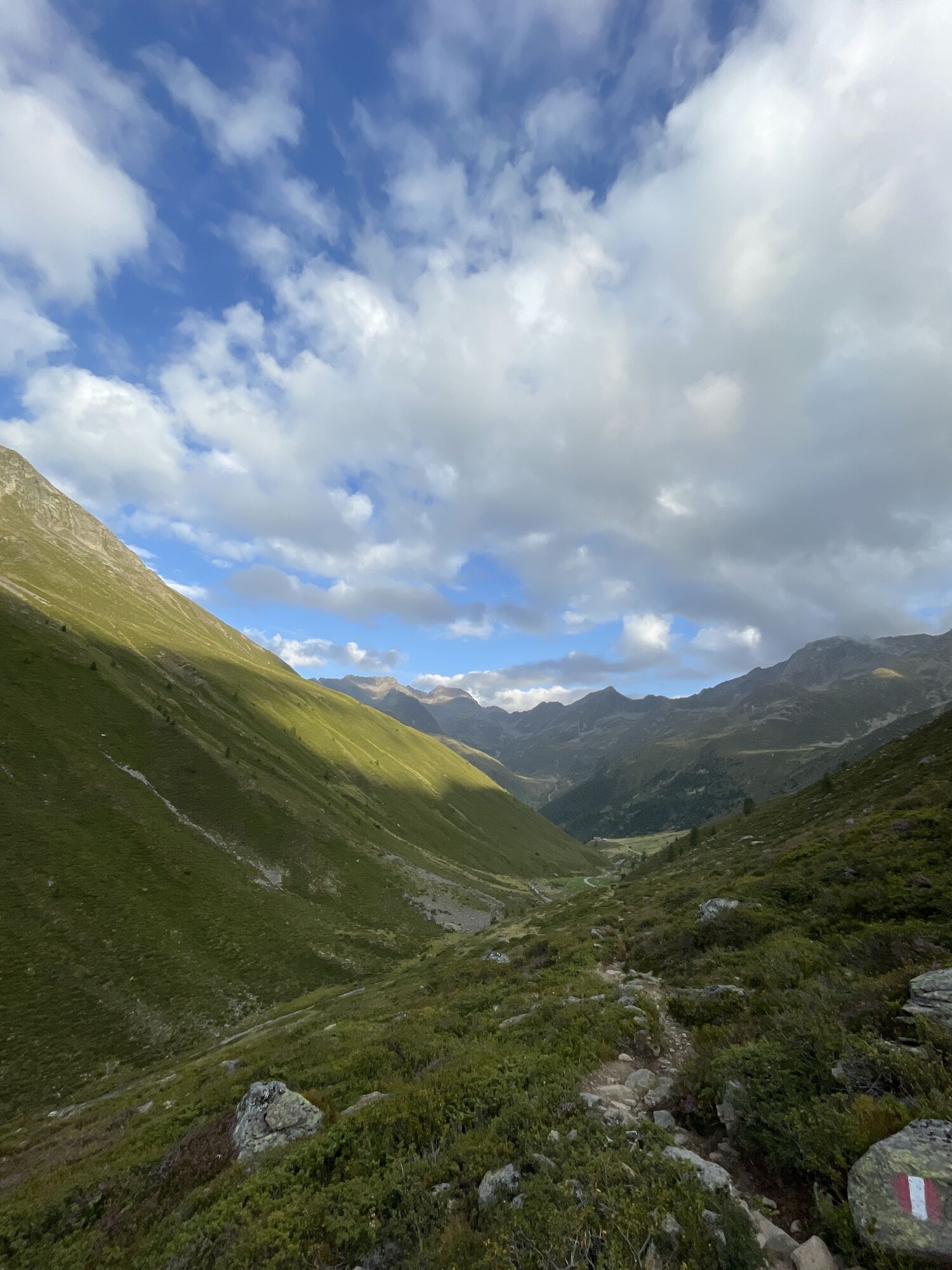
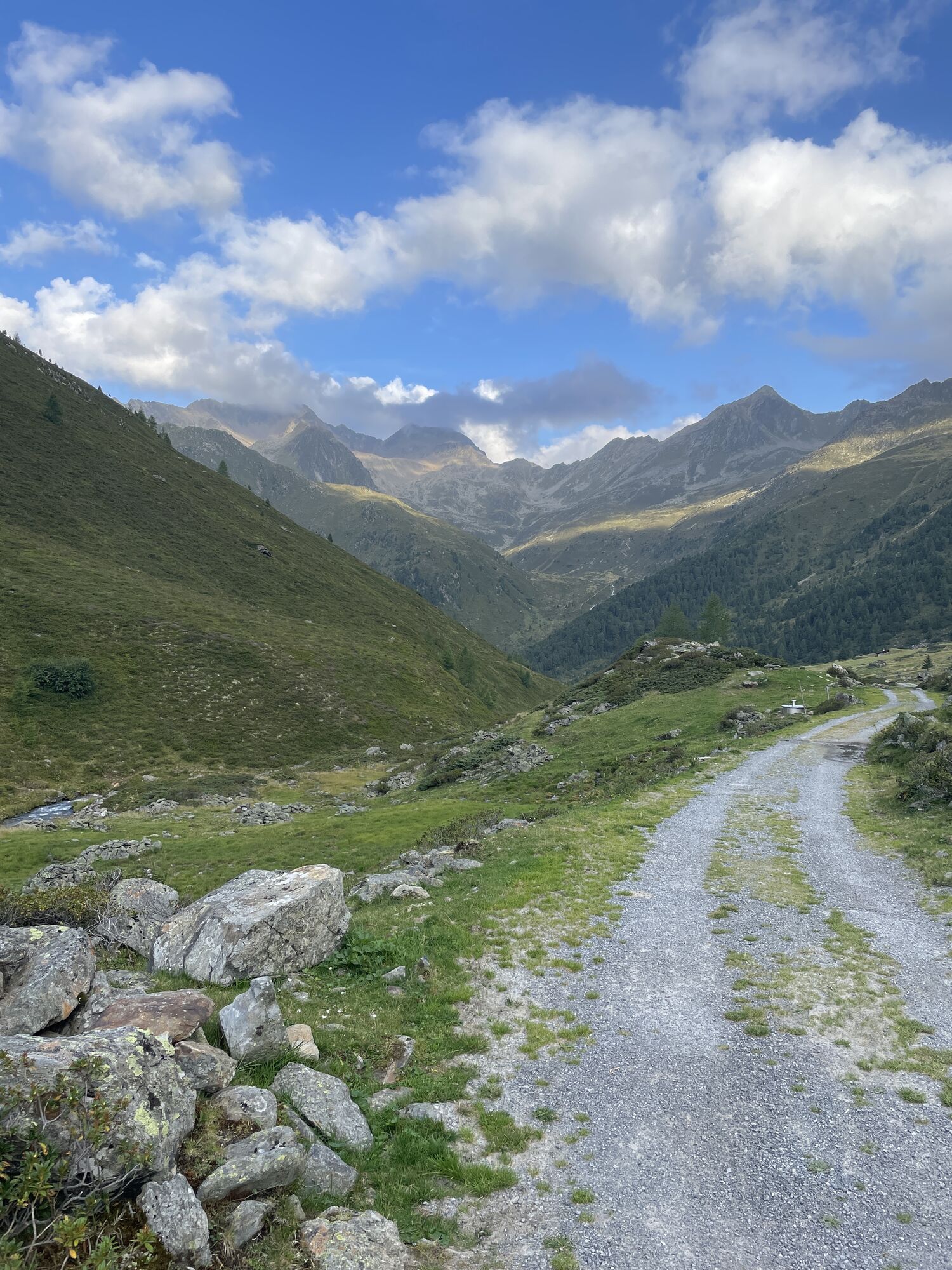
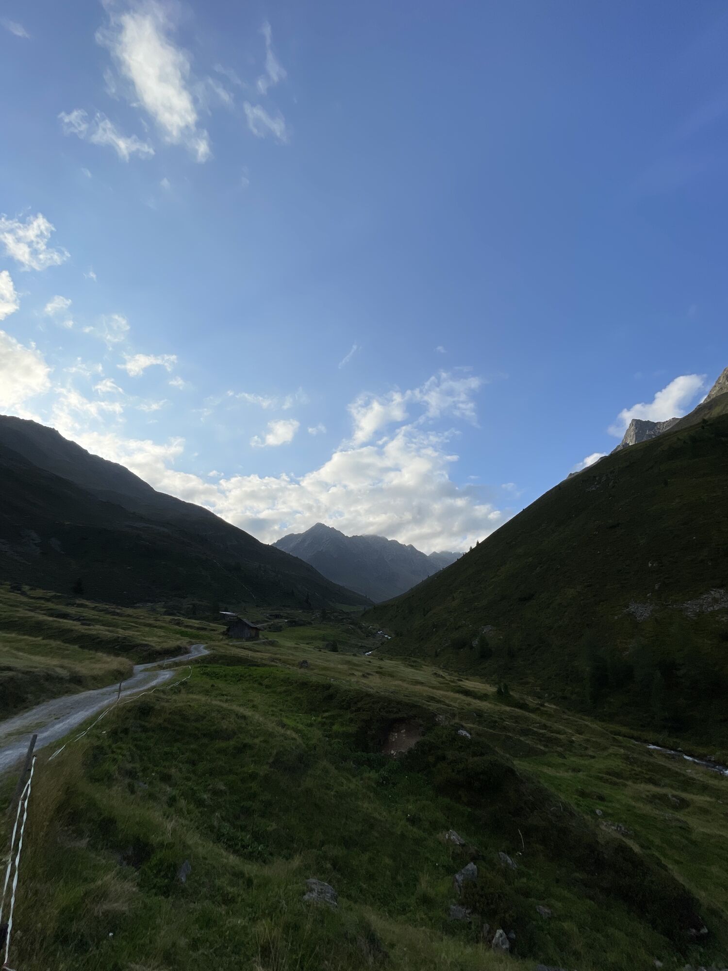
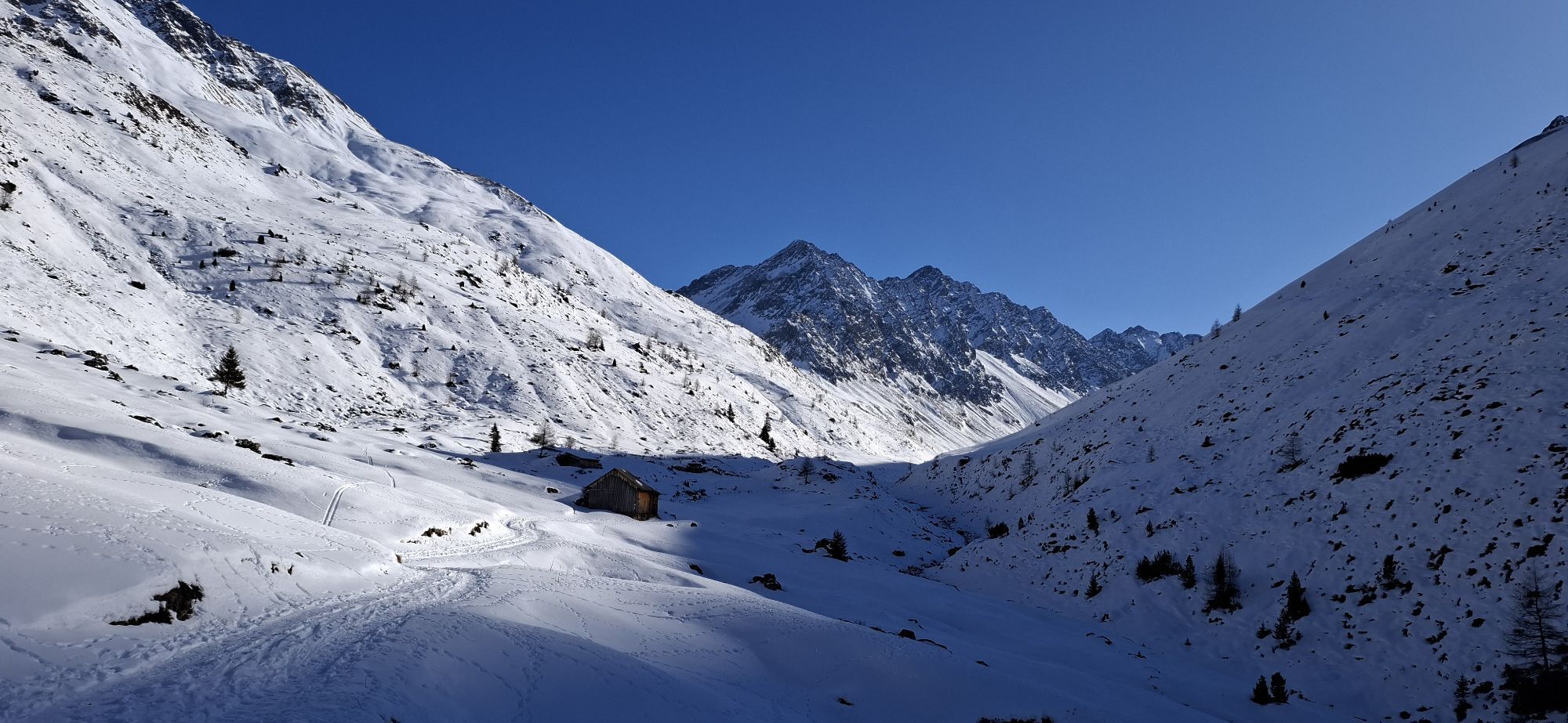
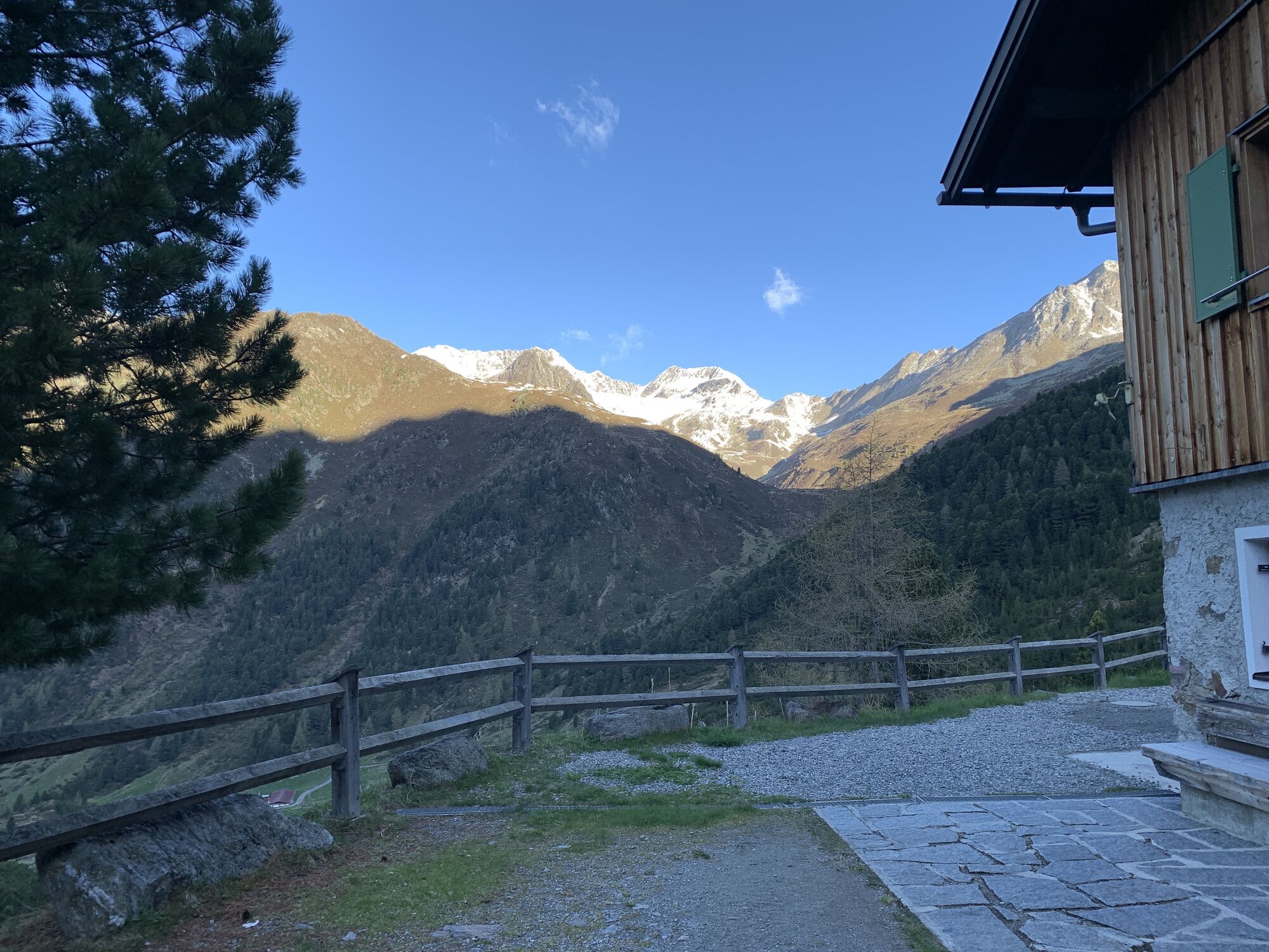
THROUGH THE ZWIESELBACH VALLEY
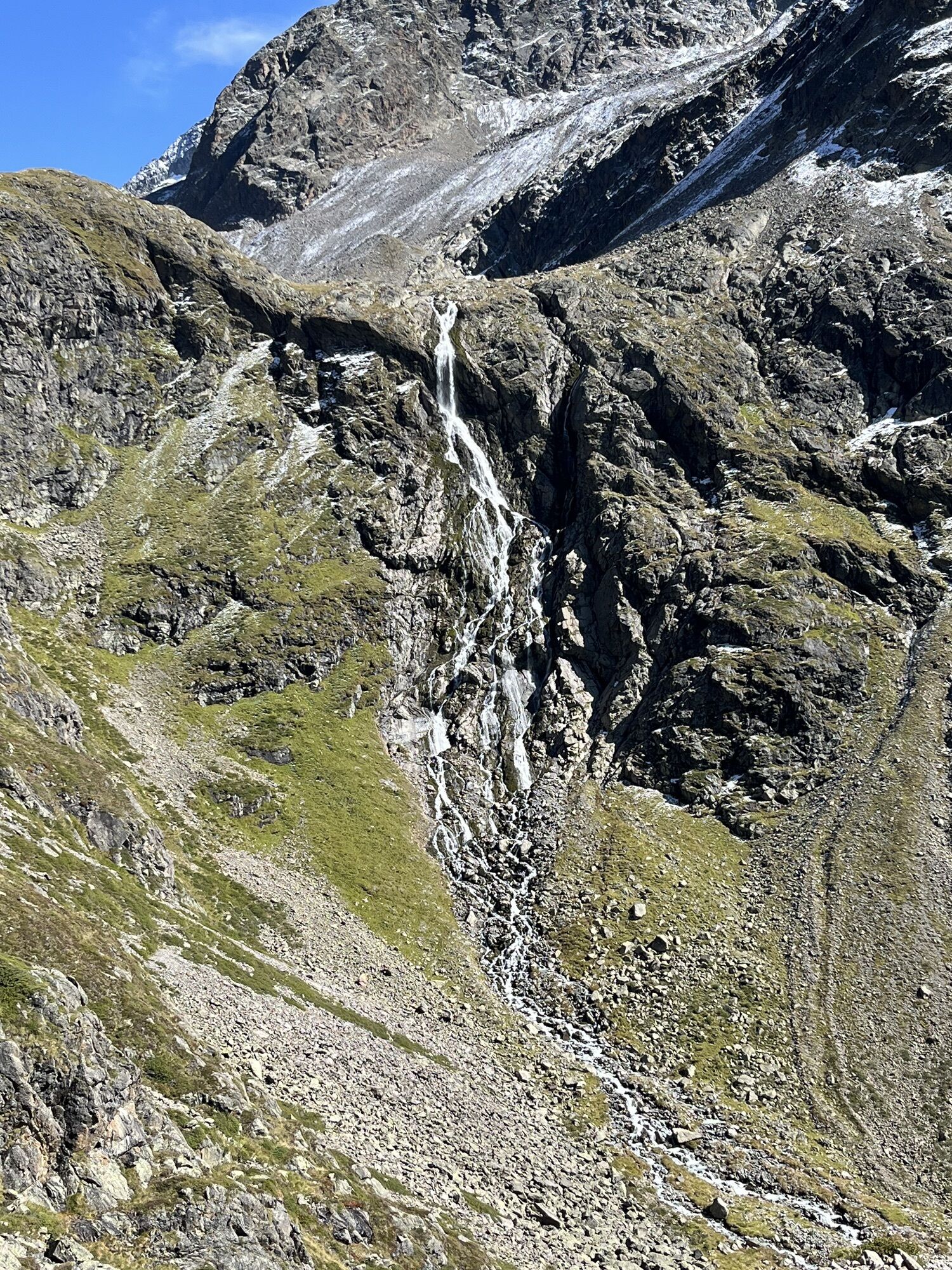
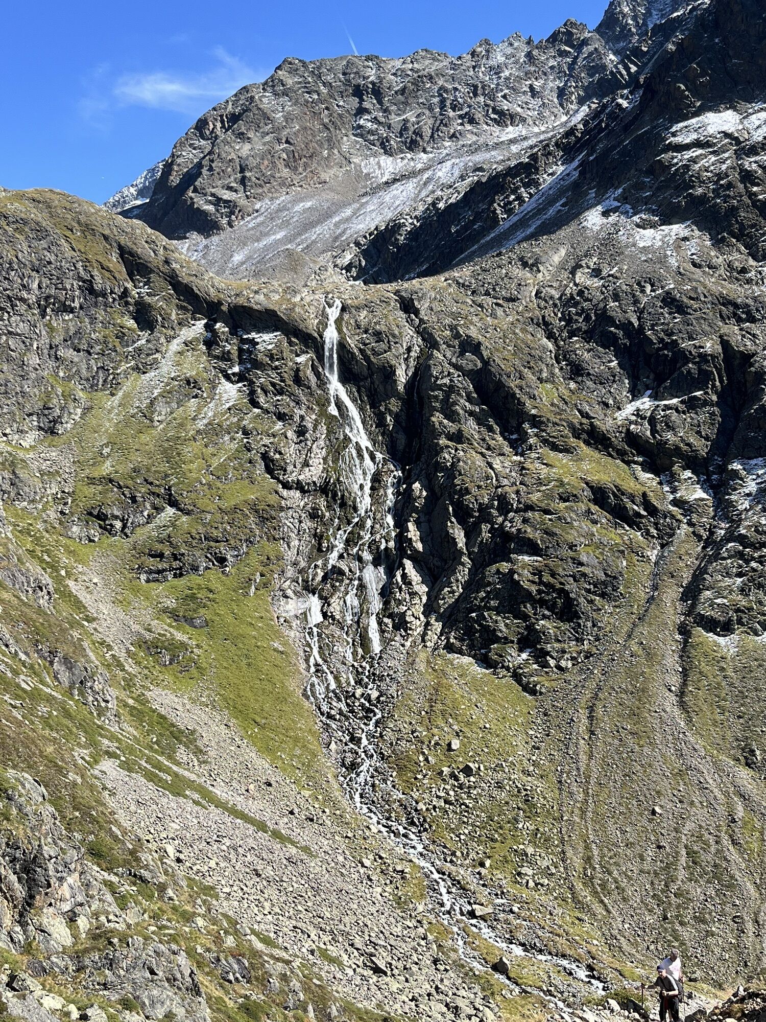
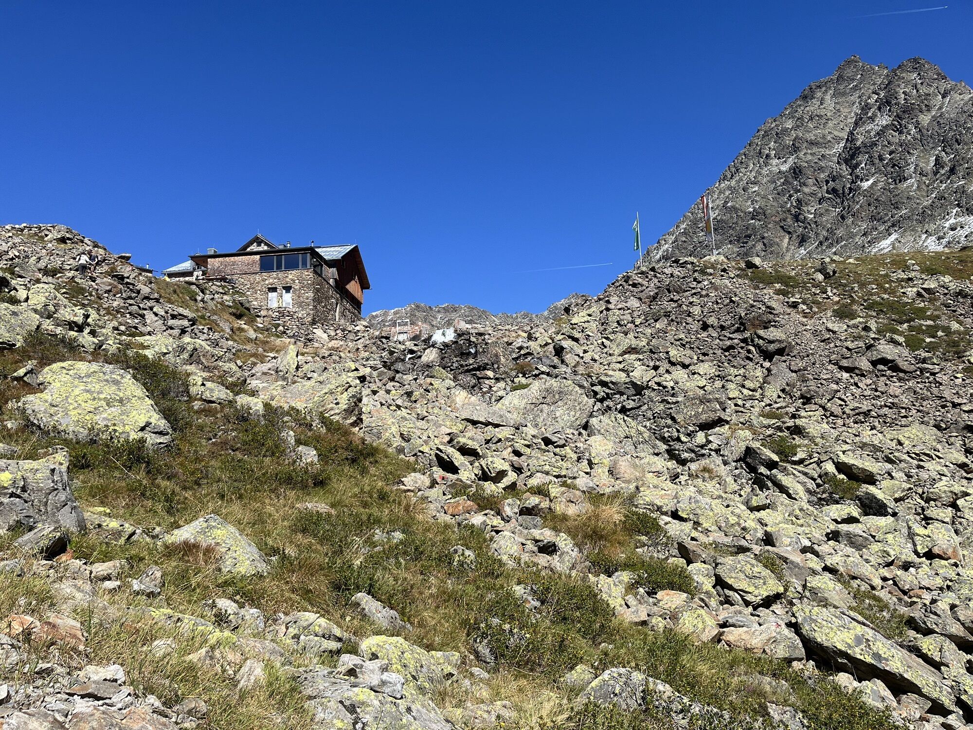
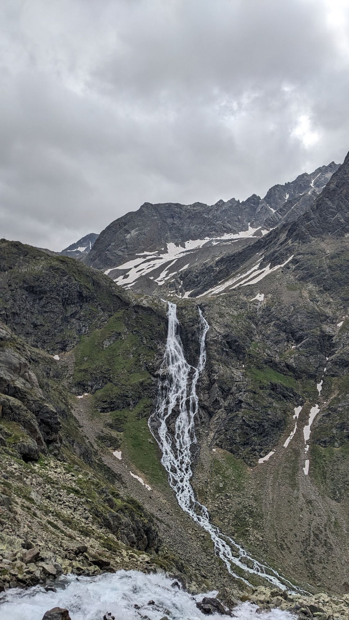
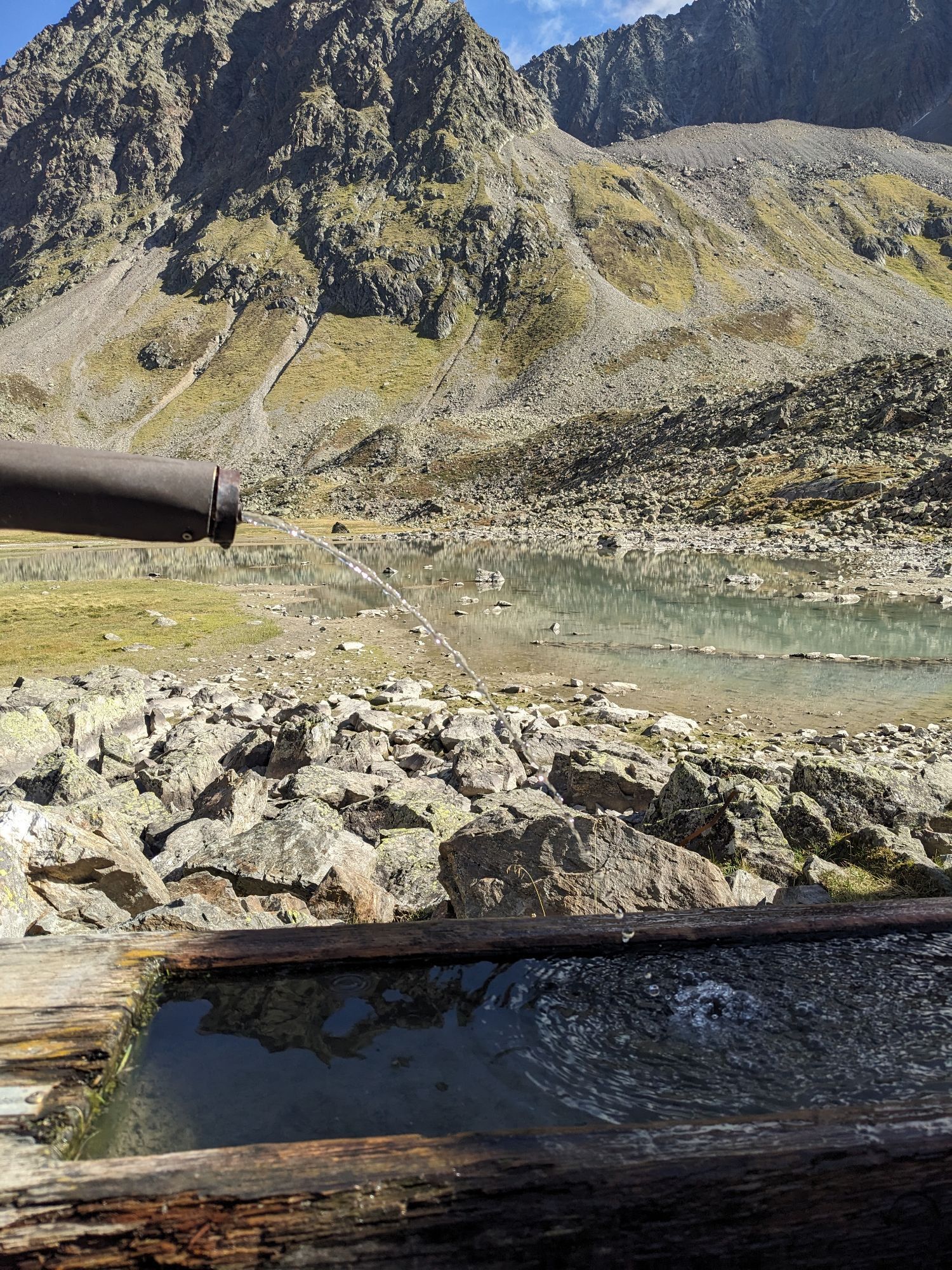
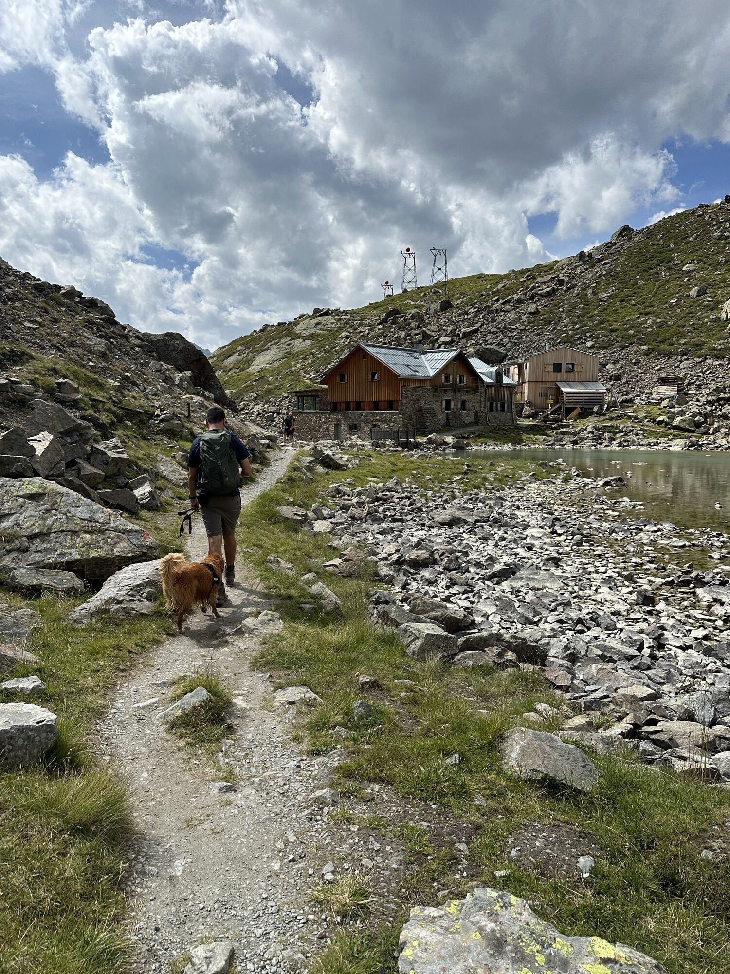
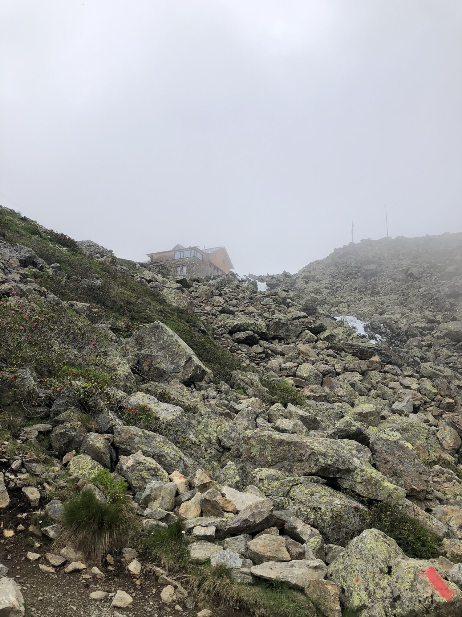
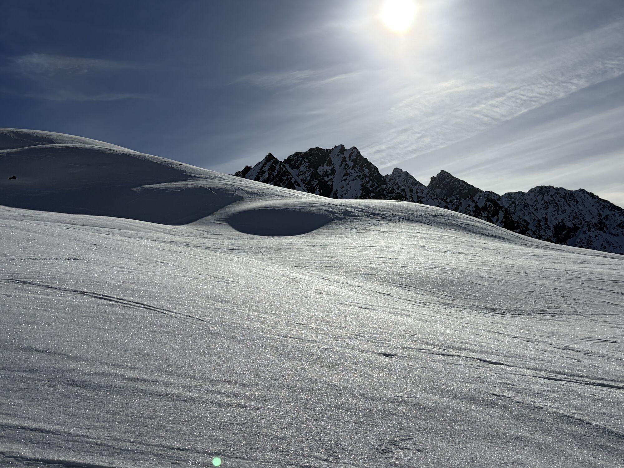
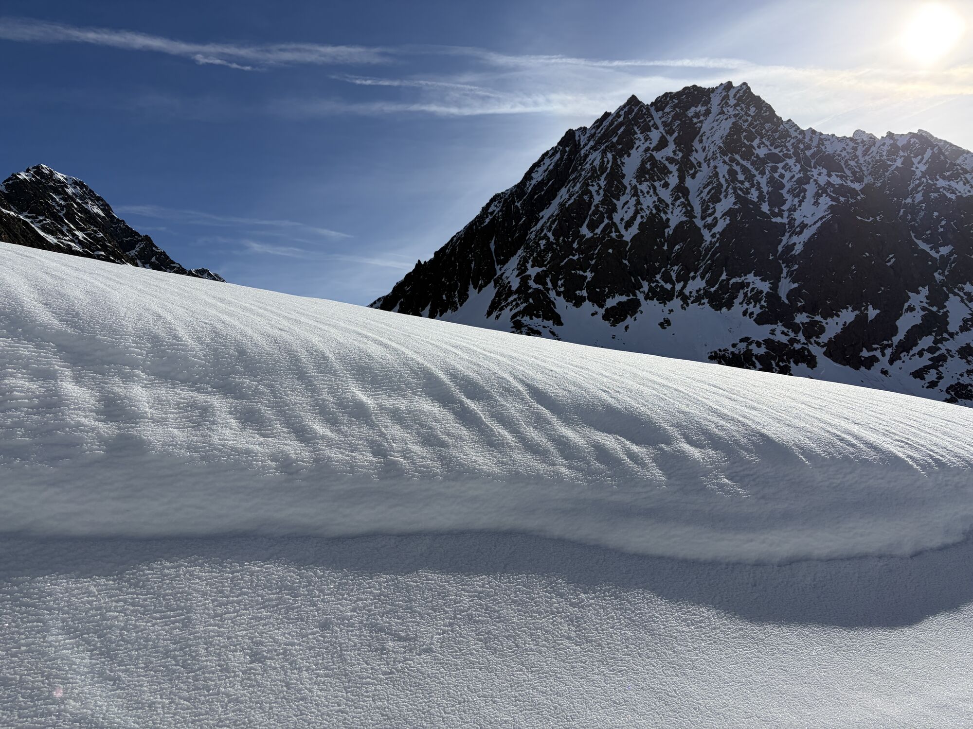
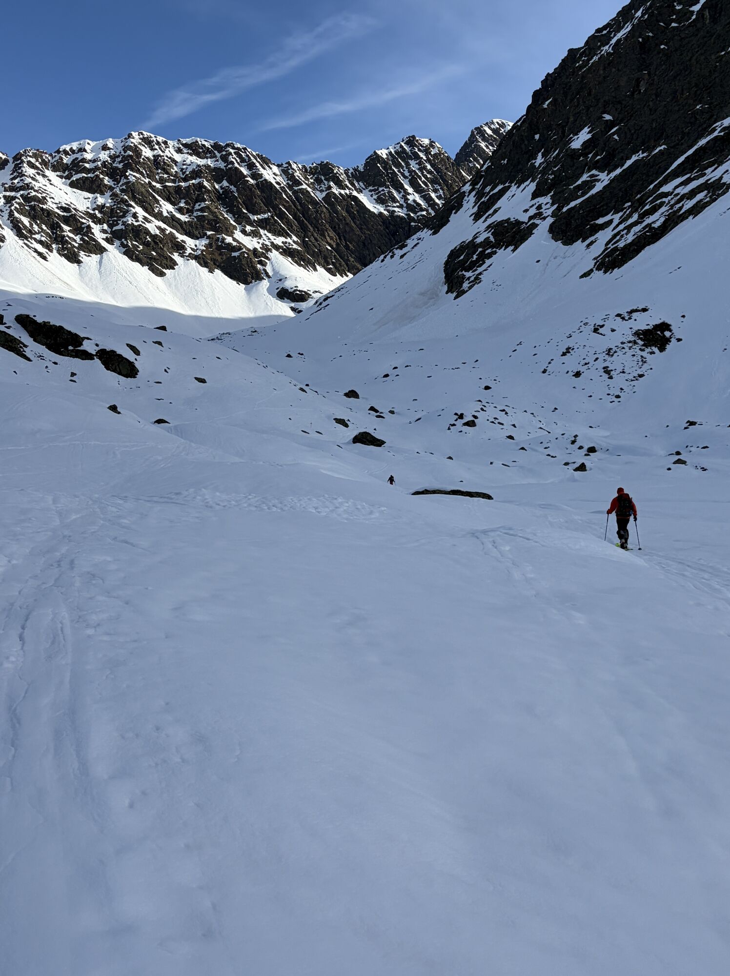
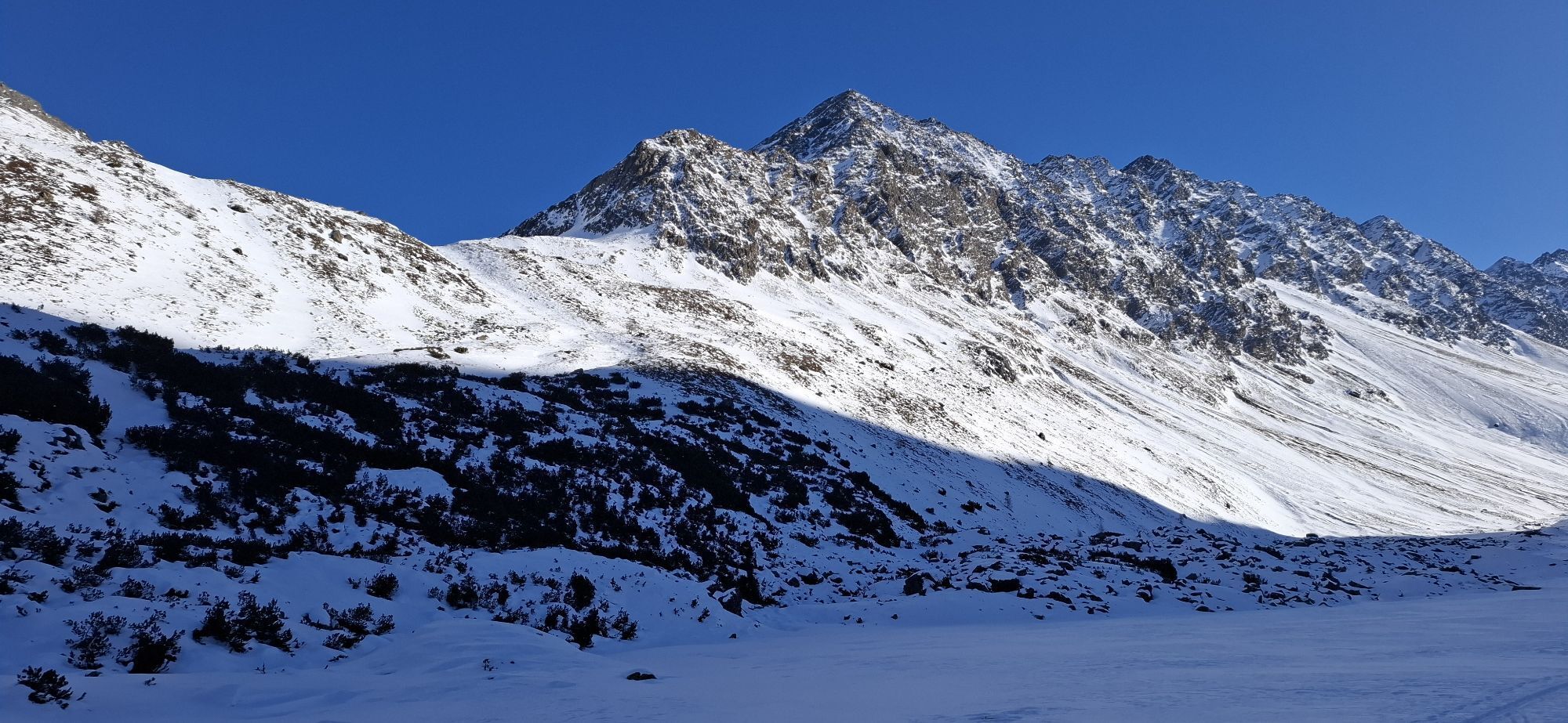
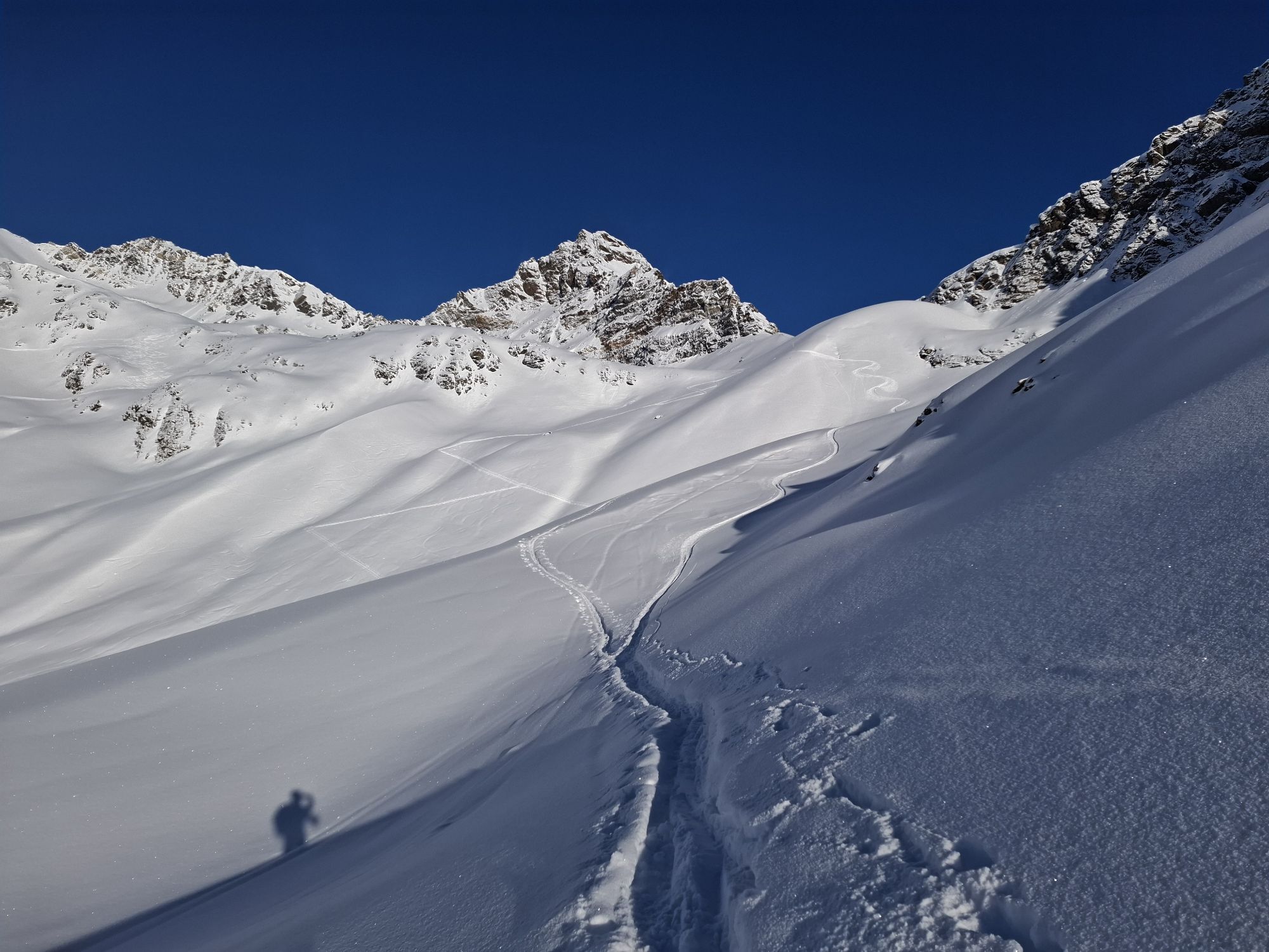
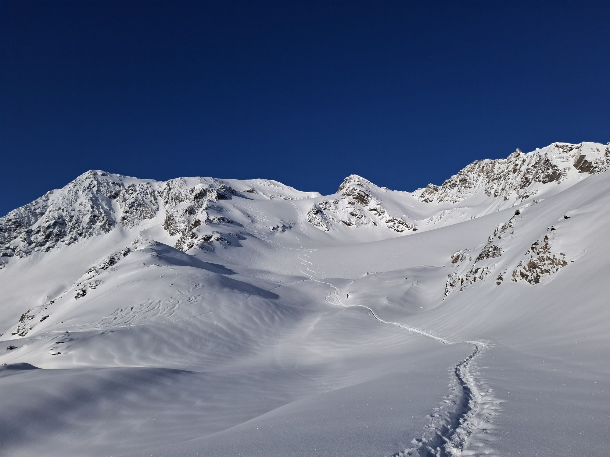
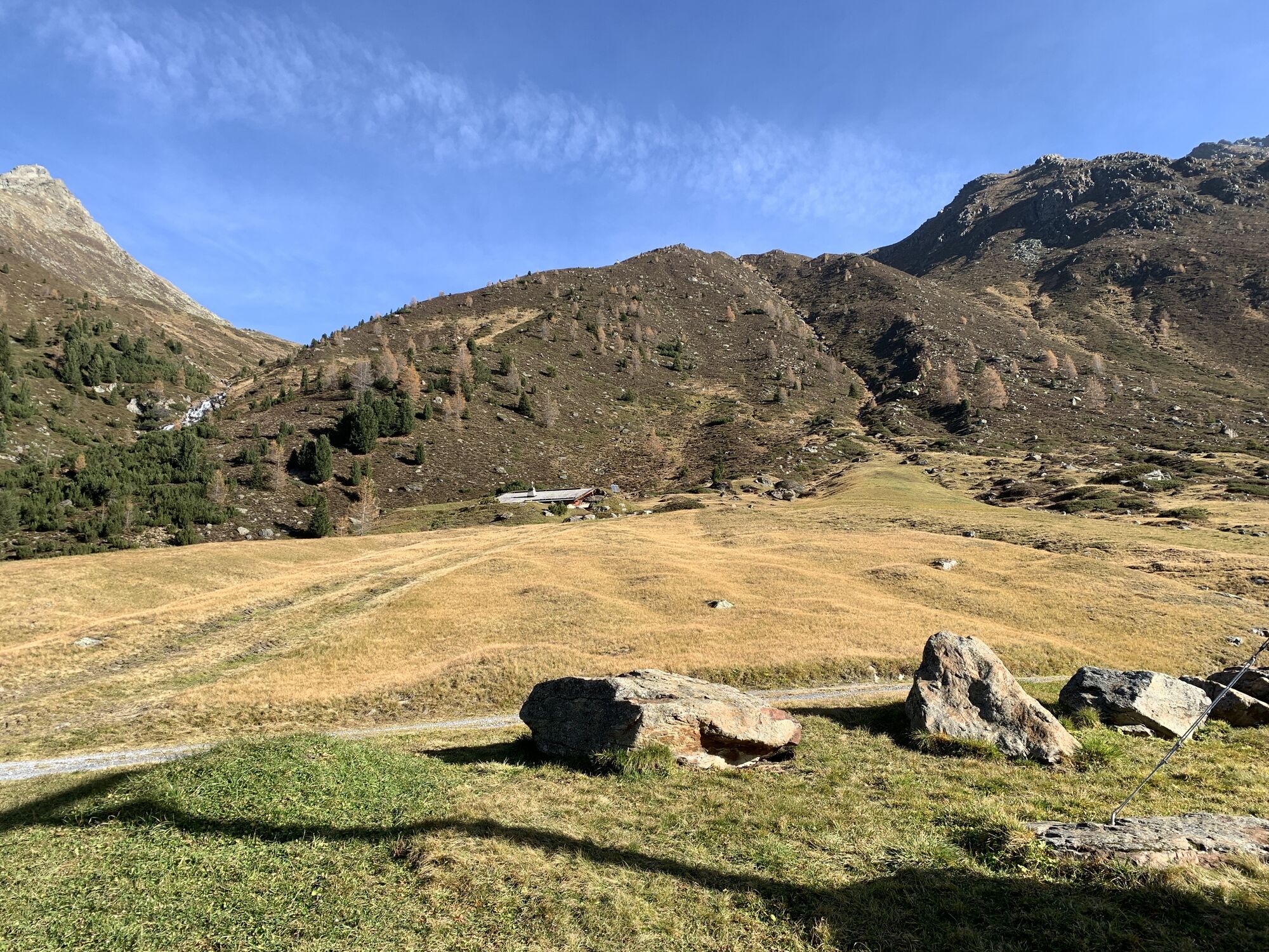
Follow the signs towards "Winnebachseehütte" and hike along the marked paths on the forest road into the Zwieselbach valley, passing the Zwieselbacher Sennhütte and continuing gently uphill in the green Zwieselbach valley. The forest road ends at 2,150 meters, and you continue on a trail. Soon you will reach a large scree field, which is crossed by ascending along the right edge – endurance is required, as the route often runs pathlessly through the stones. In high summer, the route leads ice- and snow-free onto the Zwieselbachjoch – lastly to the right beside the Zwieselbachferner glacier. West above the pass, the Grießkogel with its glacier can be seen. Beyond the saddle, it quickly descends and through the Winnebach cirque you finally reach the Winnebachseehütte.
Appropriate equipment such as breathable and weather-appropriate outdoor clothing is required for all hikes and routes. Carrying a first aid kit, a mobile phone, and possibly a hiking map, as well as sufficient provisions for hikes without the possibility of stopping for refreshments, is necessary.
Moderately difficult mountain path; suitable for sure-footed and experienced mountain hikers; good physical condition, mountain experience, and mountain equipment (see under equipment) necessary. Please observe the current weather report.
The drive into the ÖTZTAL. Located in Tyrol, the Ötztal branches off southward as the longest side valley of the Eastern Alps. Traveling by car, visitors drive via the Inn Valley to the valley entrance and then continue along the Ötztal. In addition to toll highways, country roads can also be used. With the route planner, your drive can be quickly and conveniently determined: To the route planner: https://www.google.at/maps
Travel comfortably and safely by train to the Ötztal train station. The final stop or exit point is ÖTZTAL station. Afterwards, you can conveniently and quickly continue with public transportation or local taxi companies through the entire valley to your desired destination! The current bus timetable is available at: http://fahrplan.vvt.at
The following parking options are available:
Niederthai:
- Sennhof parking lot | paid | multi-day tickets possible
- Ortsweiler Lehen (football field) | paid | only single-day tickets available
Umhausen:
- Mure parking lot | free of charge
- Bischoffsplatz parking lot | paid | multi-day tickets possible
T3
Did you know that…
...above the Winnebachseehütte at an incredible 2,360 m there is a climbing garden? The distinctive granite block offers easy routes with alpine flair.
More information about hiking in the Ötztal: www.oetztal.com/wandern
Stage 3 as a day route
Niederthai (1,550 m) → Schweinfurter Hütte (2,036 m) → Winnebachseehütte (2,361 m) → descent to Gries (1,569 m)
Please note that the start and end points are not the same. If possible, travel by public transport or make sure that you can return to your car at the end of your hikes.
Popularne wycieczki w okolicy
-
4,5
Winnebachsee Hut – Längenfeld/Gries
średniWędrówka 4,74 km -
4,2
Hike Stuibenfall - Umhausen
światłoWędrówka 2,95 km -
4,4
Stuibenfall Umhausen circular hike
światłoWędrówka 9,32 km -
4,5
Oetz - Piburger See - Oetz
średniWędrówka 7,16 km -
4,4
Rundwanderung Hängebrück3
światłoWędrówka 6,32 km -
4,7
Winter circular route Brandalm/Burgstein - Längenfeld 204
średniWędrówka zimą 5,44 km -
4,3
Lampsenspitze, Sellrain, Tirol
średniWycieczka narciarska 4,97 km -
4,3
Amberger Hut - Längenfeld/Gries
średniWędrówka 5,60 km -
4,4
Hundstalsee
średniWędrówka 7,35 km -
4,6
Umhausen - Stuibenfall - Umhausen
średniWędrówka 7,94 km
Wędrówki i tropienie


Nie przegap ofert i inspiracji na następne wakacje
Twój adres e-mail została dodana do listy mailingowej.