


Ötztal Trek Stage 4
Poziom trudności: T6

Route: trail, footpath, road Requirements: sure-footedness, no fear of heights, stamina, high alpine experience Mountain path black, sectionally alpine route Difficulties: passage at Bachfallenferner...


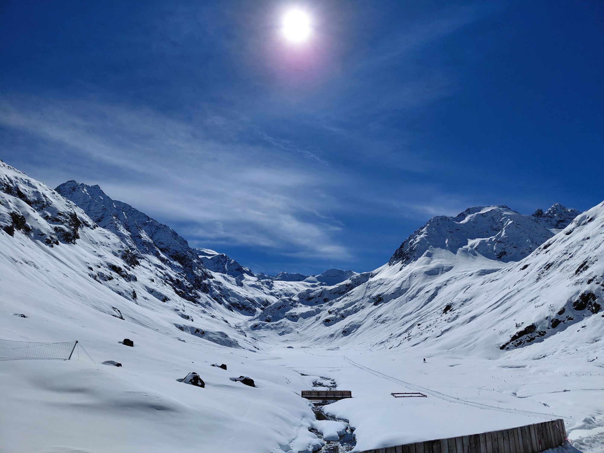
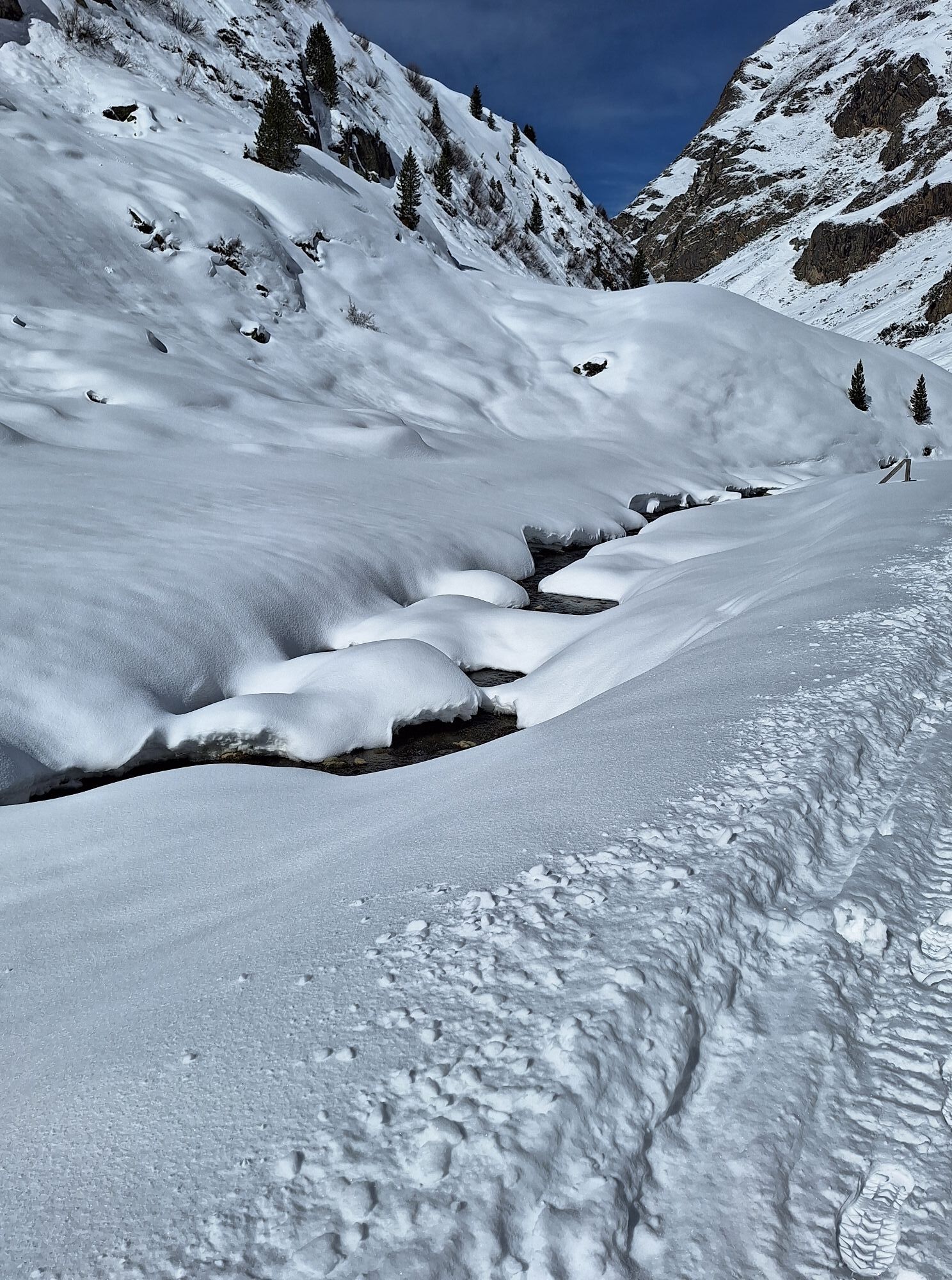
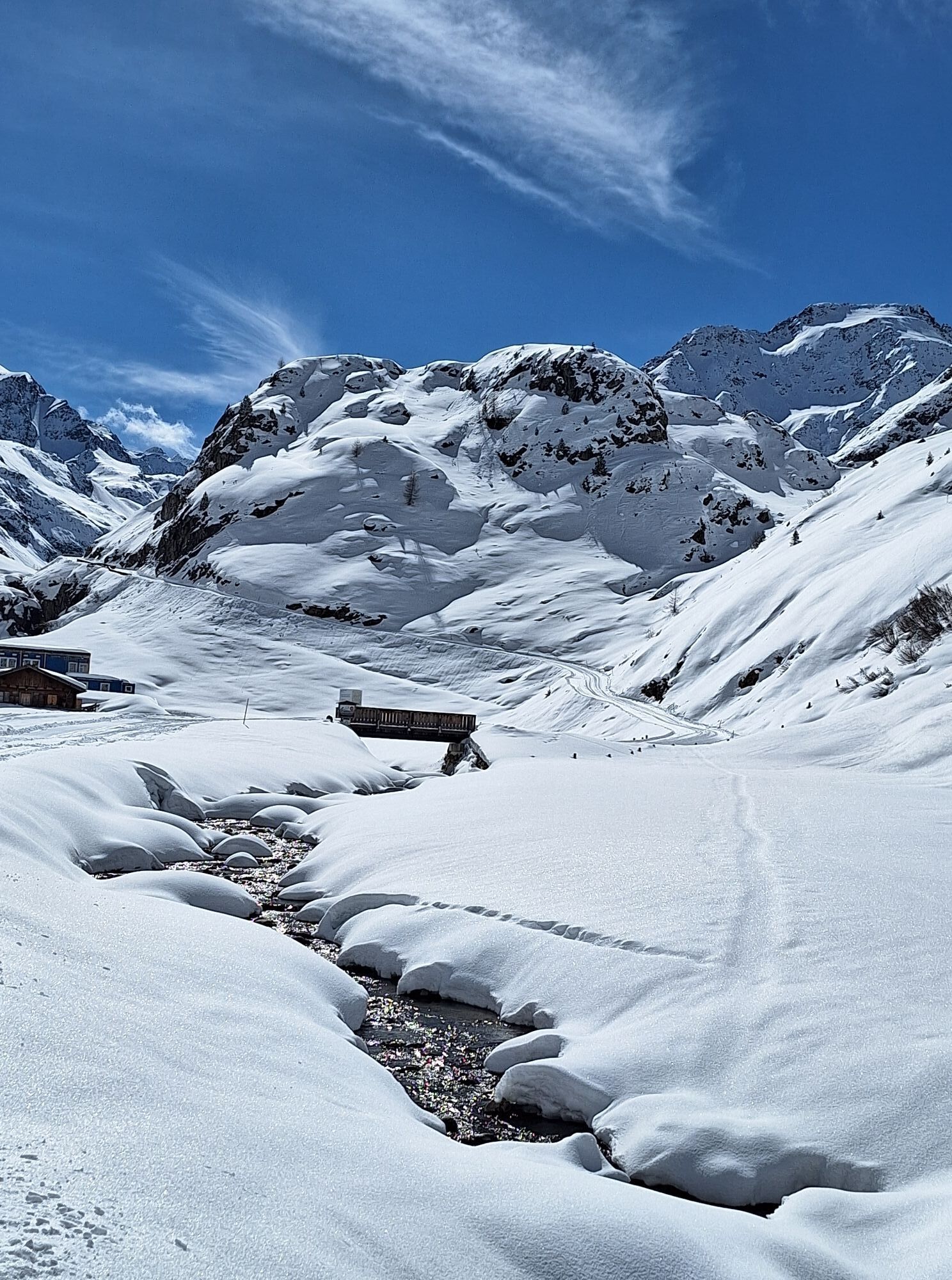
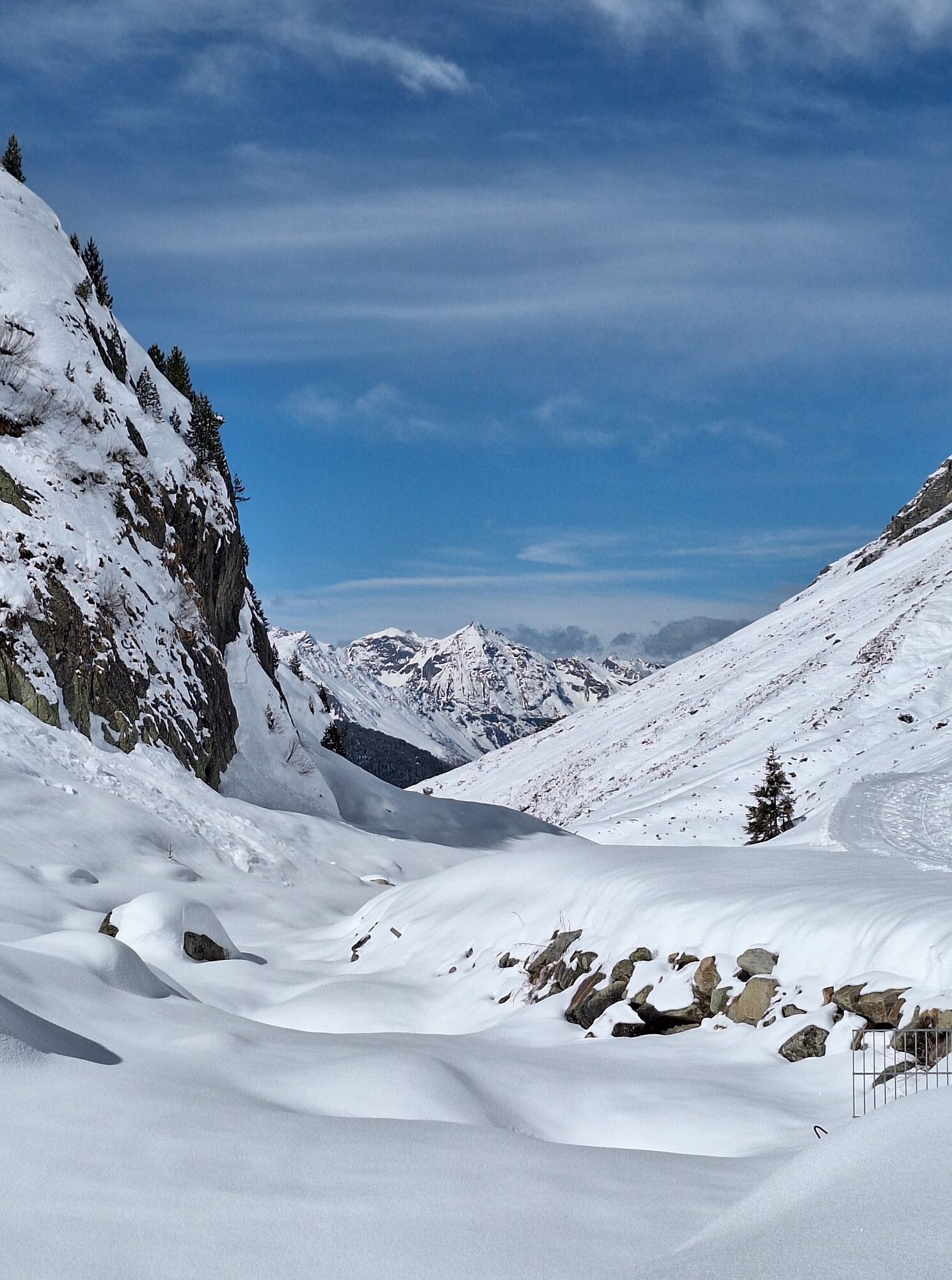
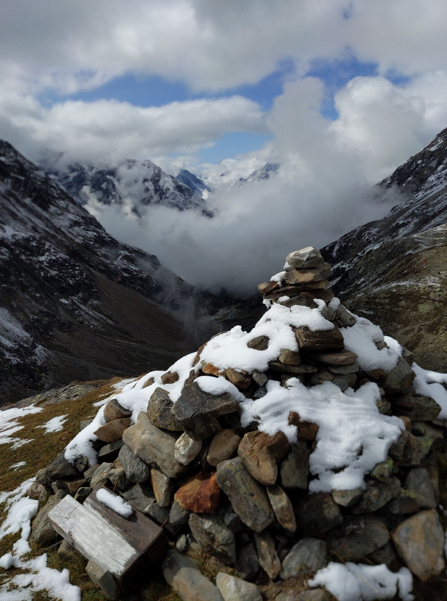
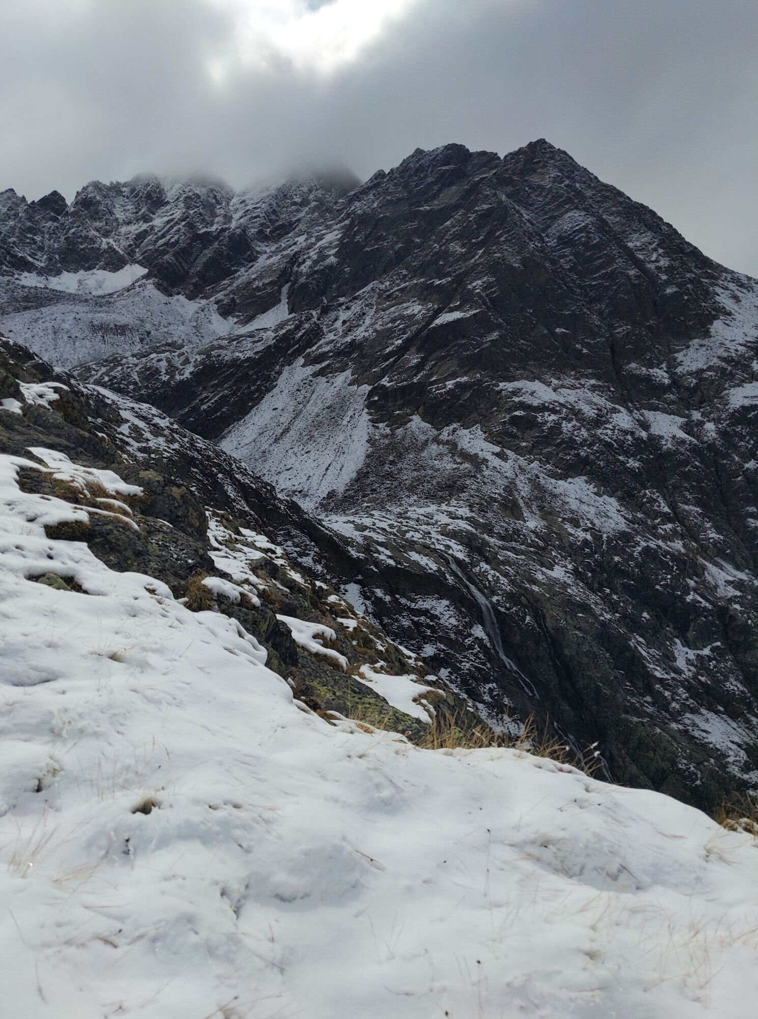
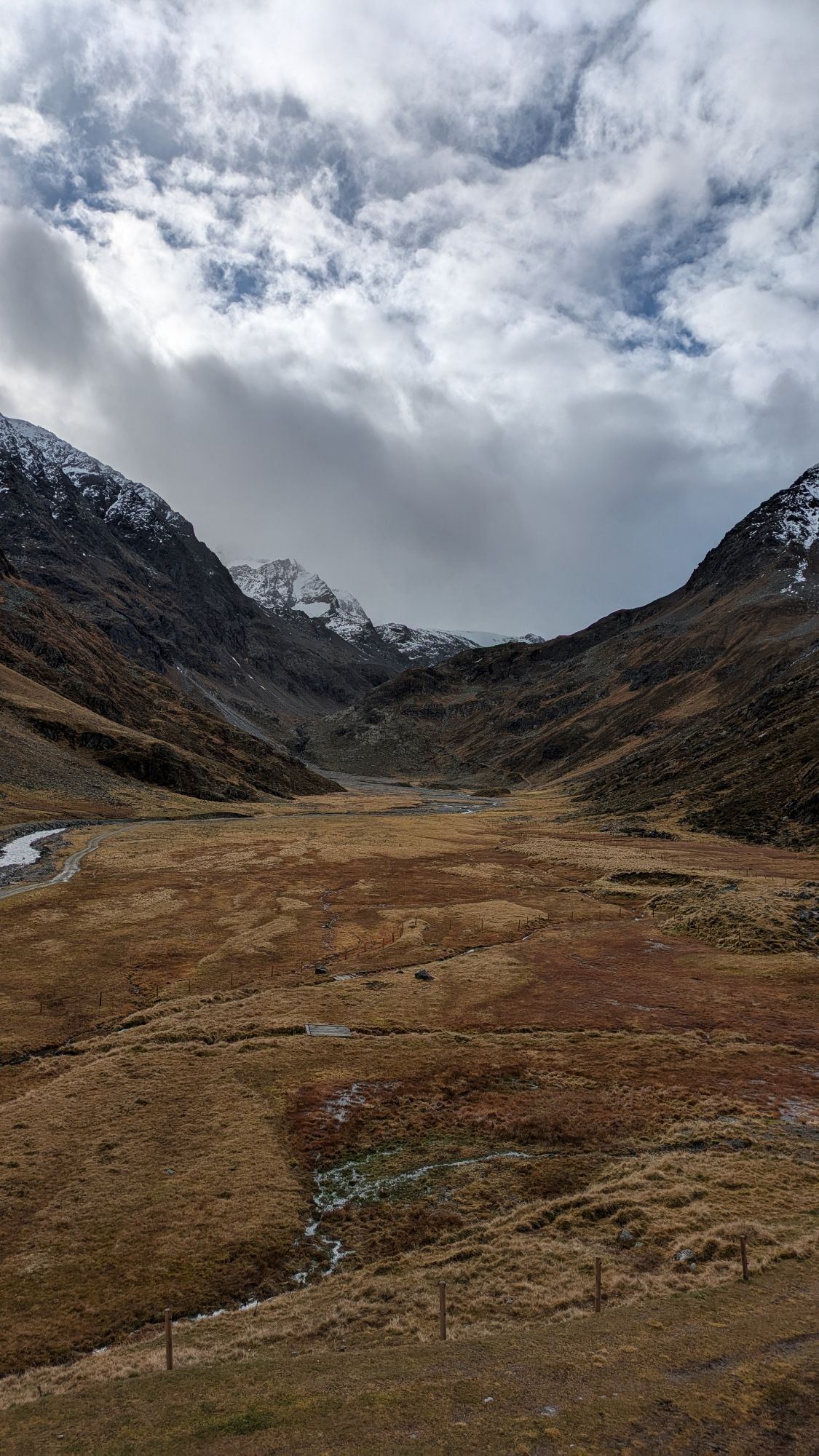
OVER GLACIERS, PASSES AND STEEP SLOPES
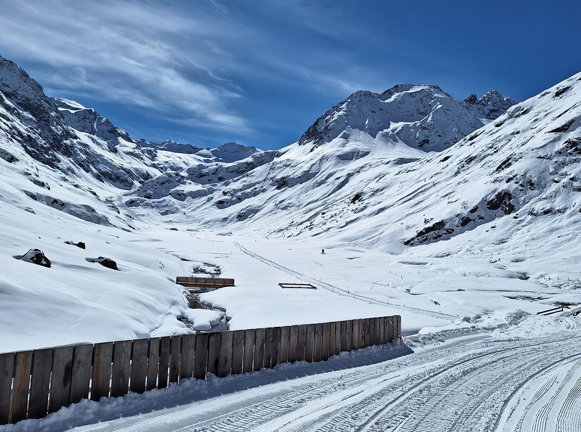
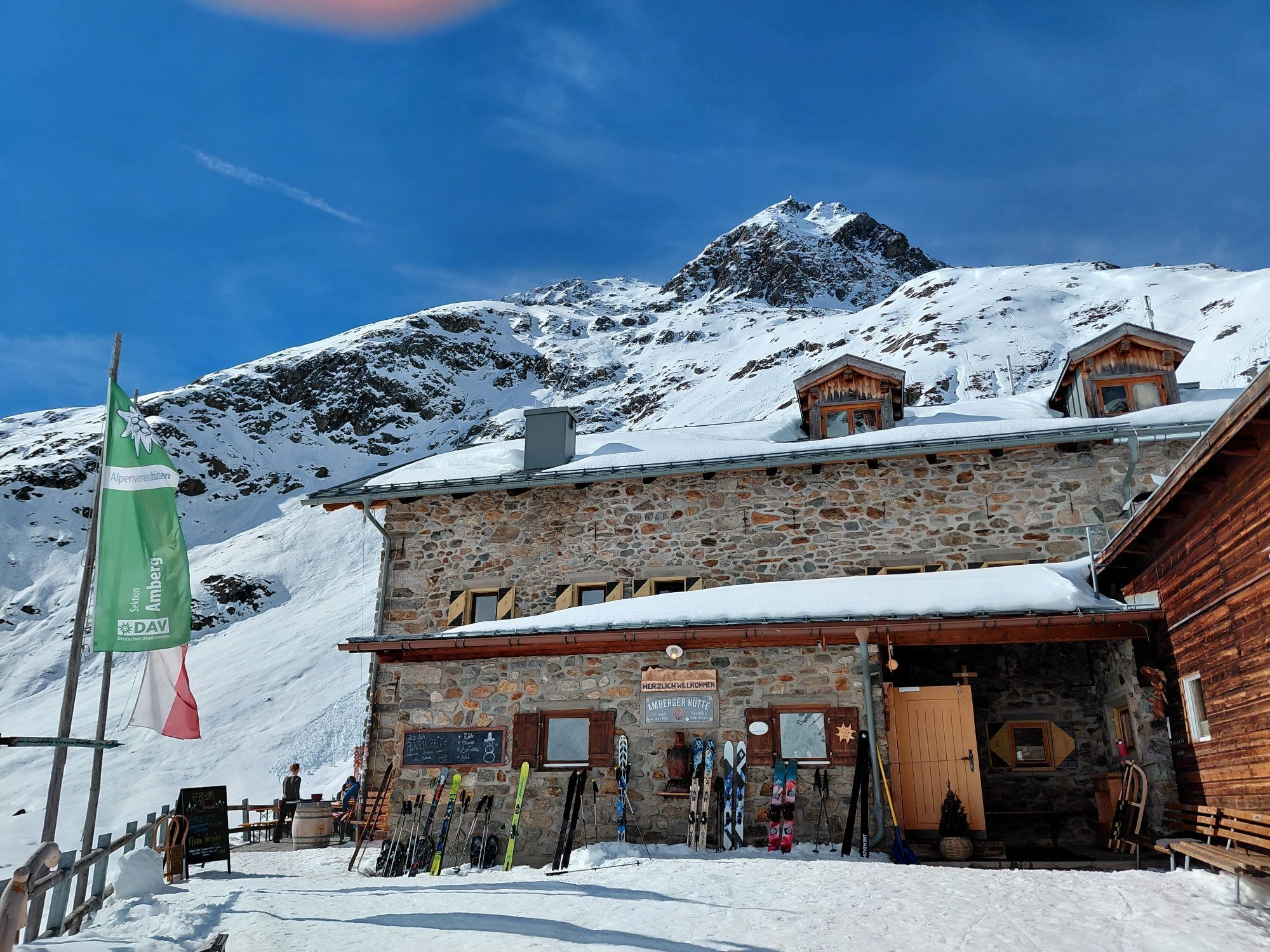
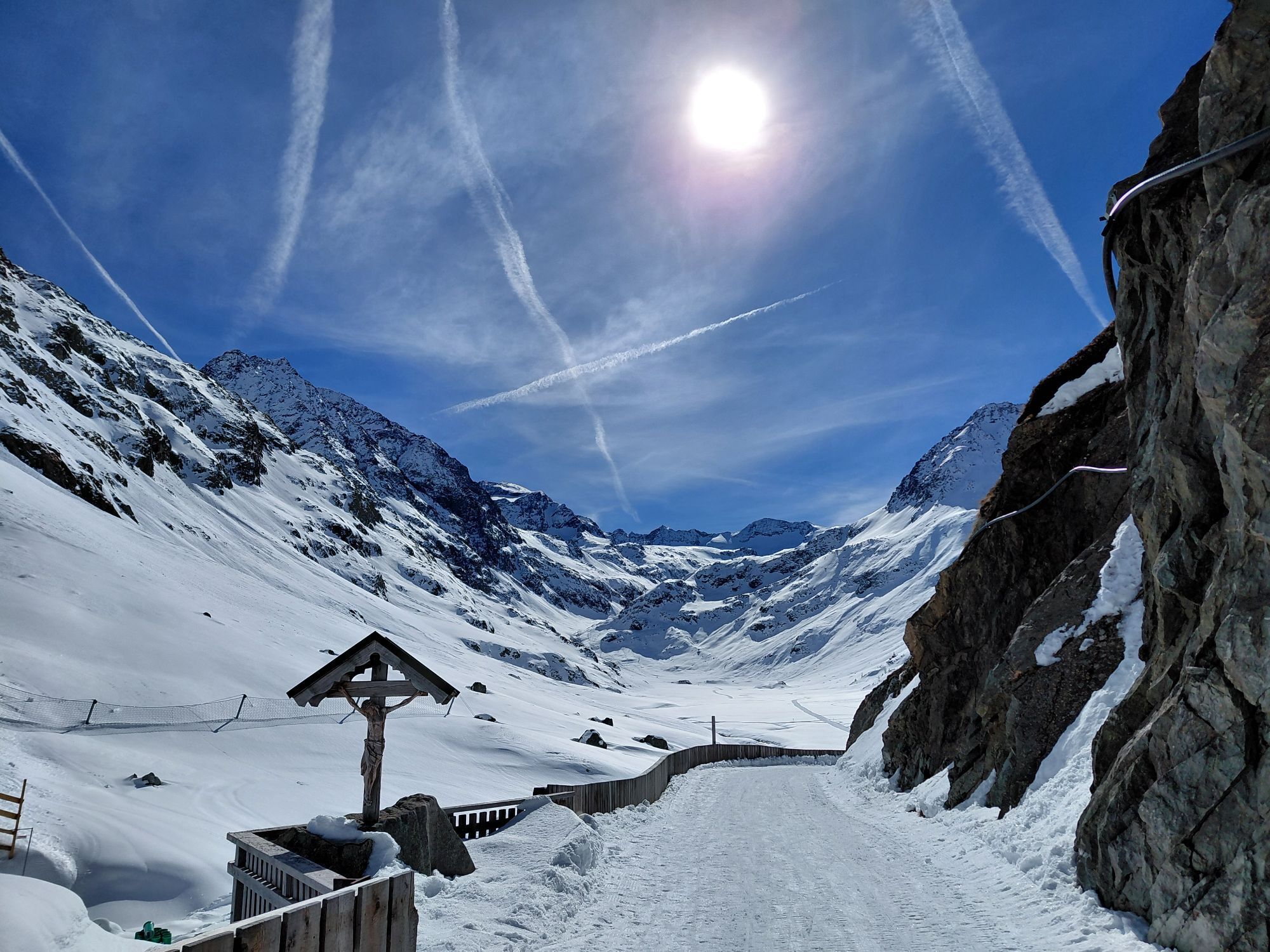
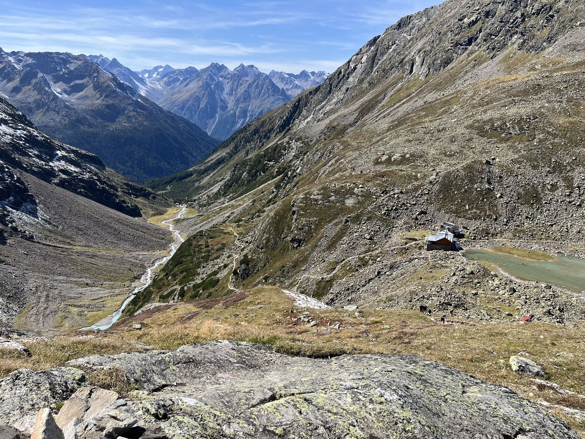
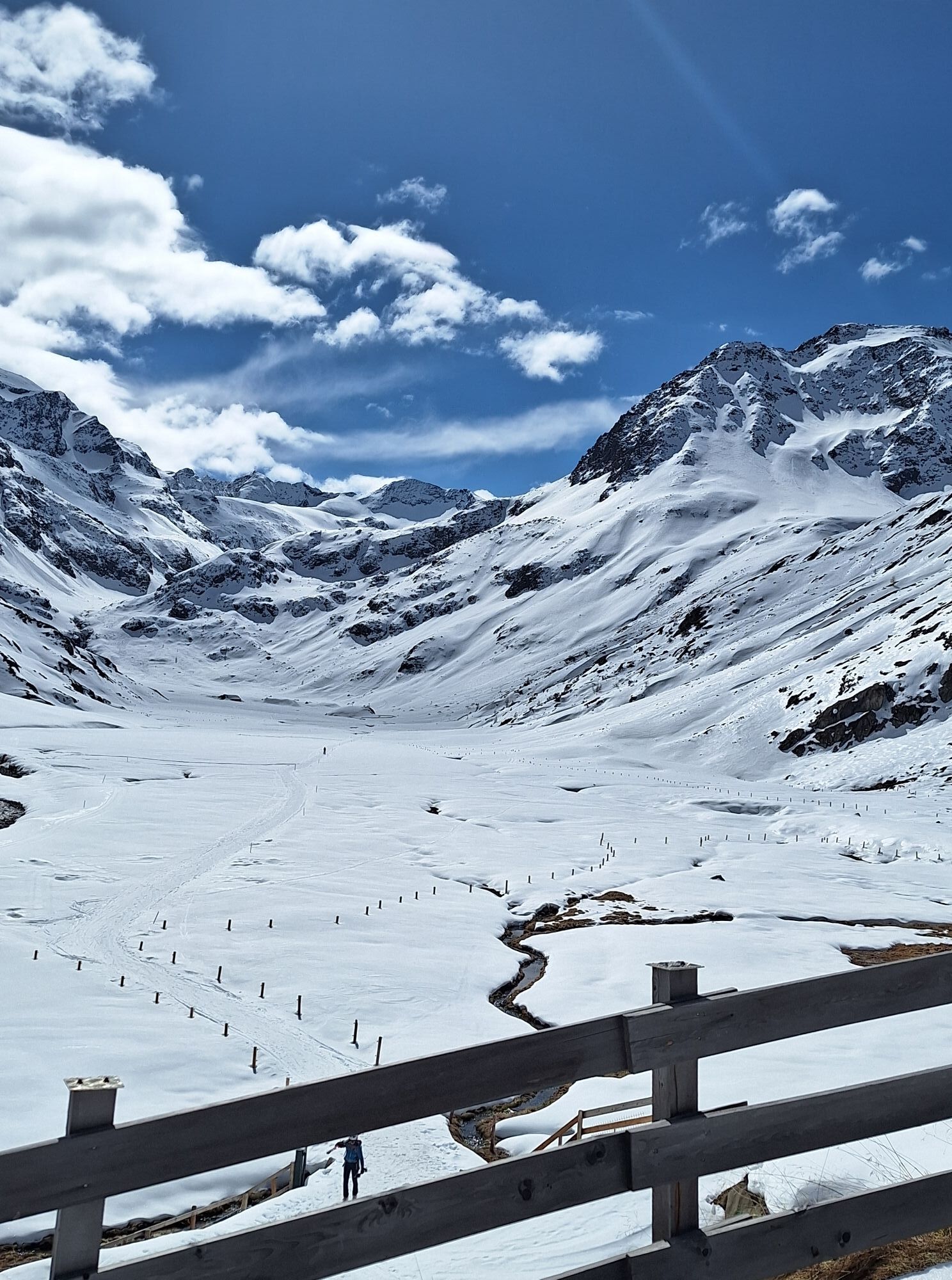
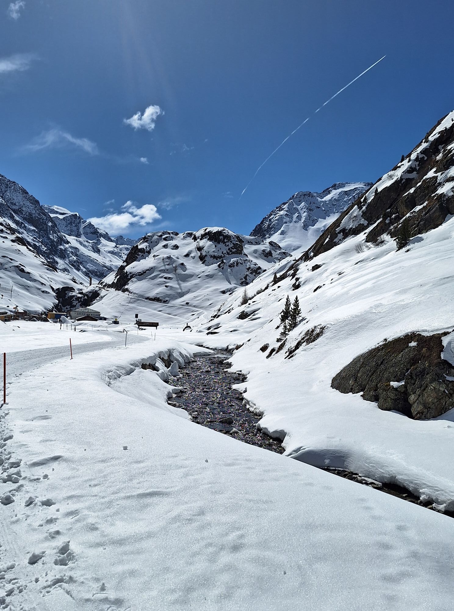
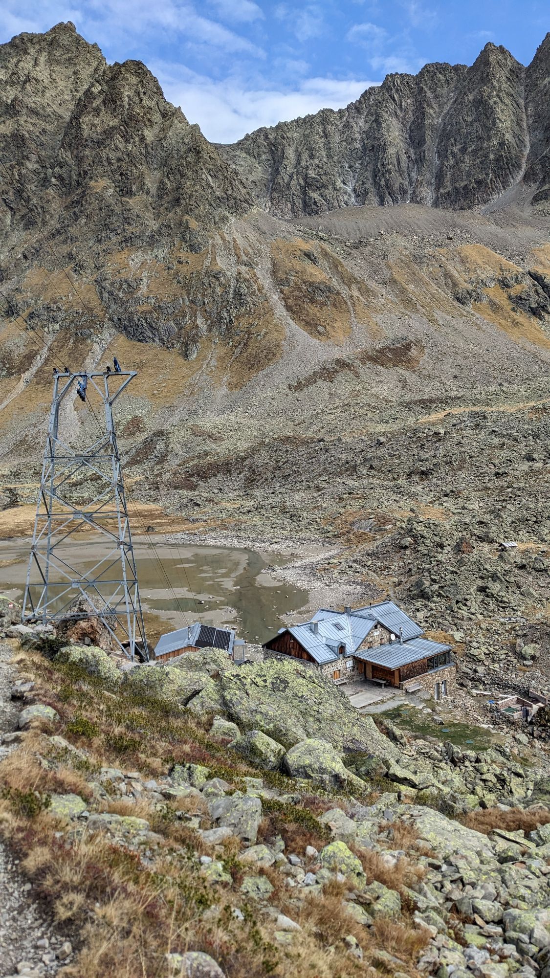
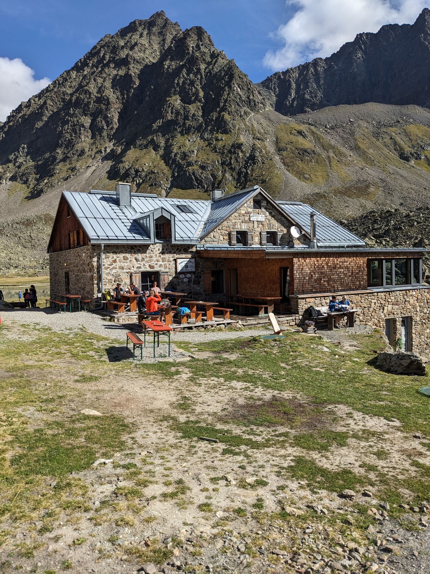
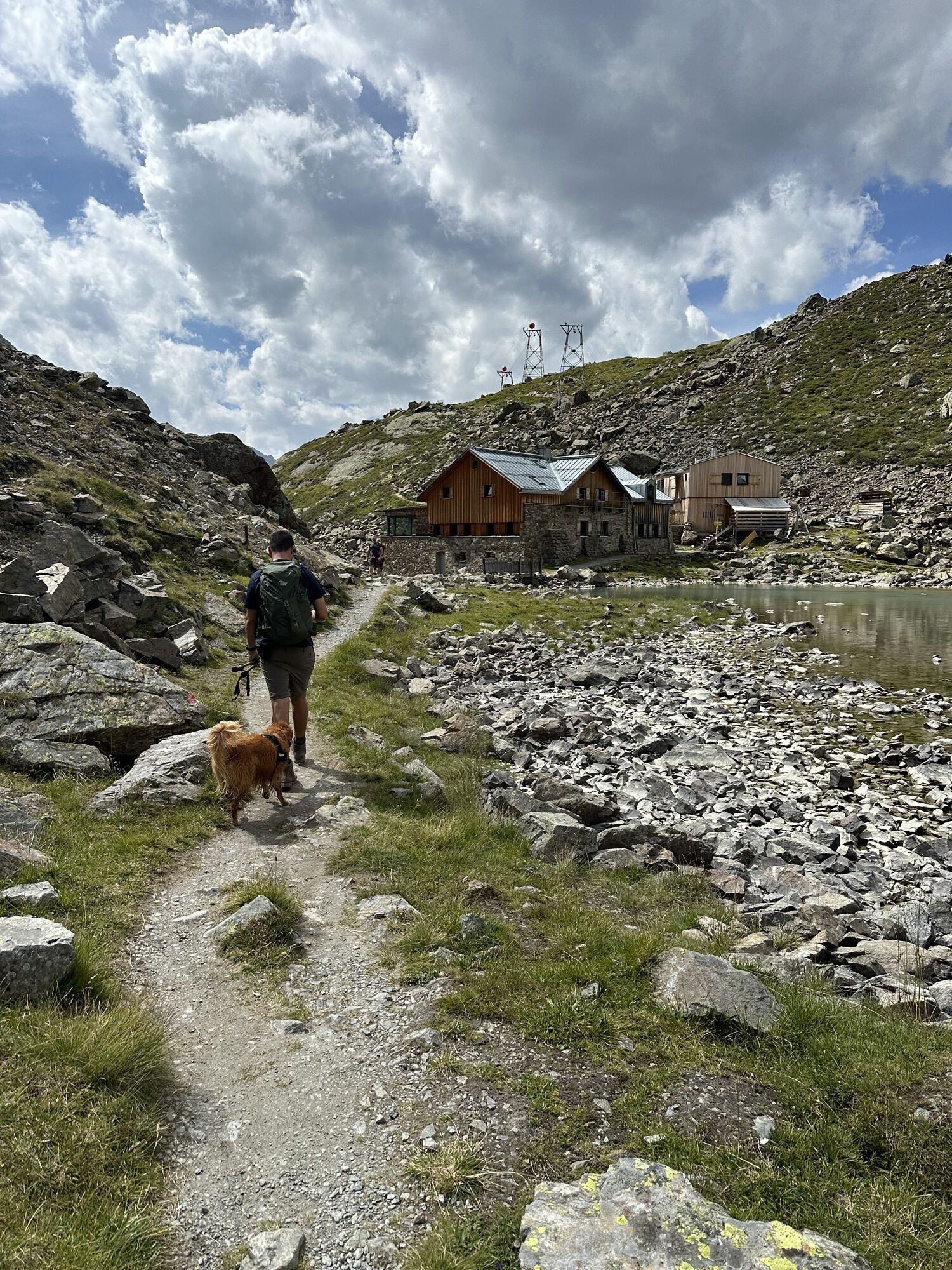
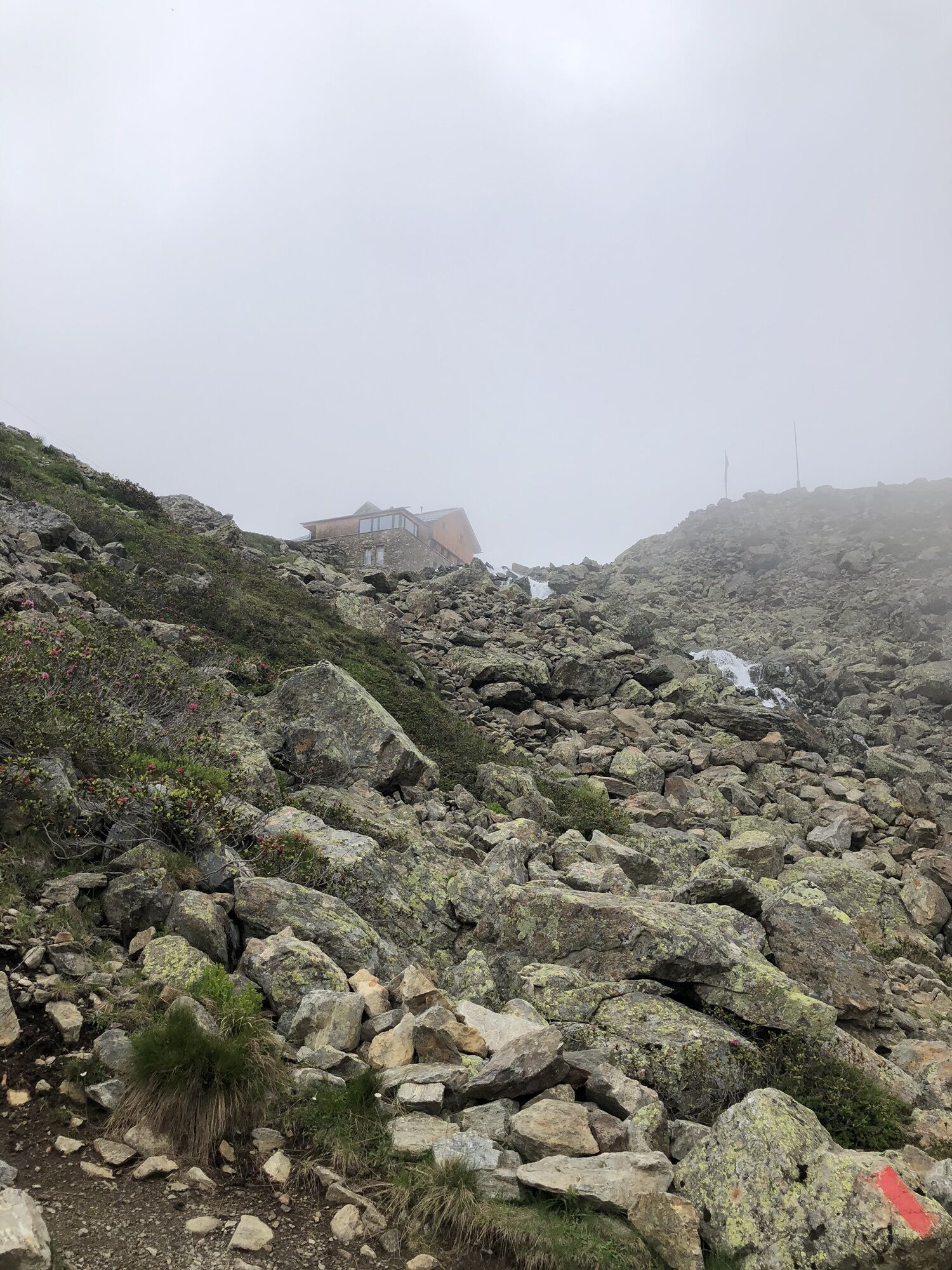
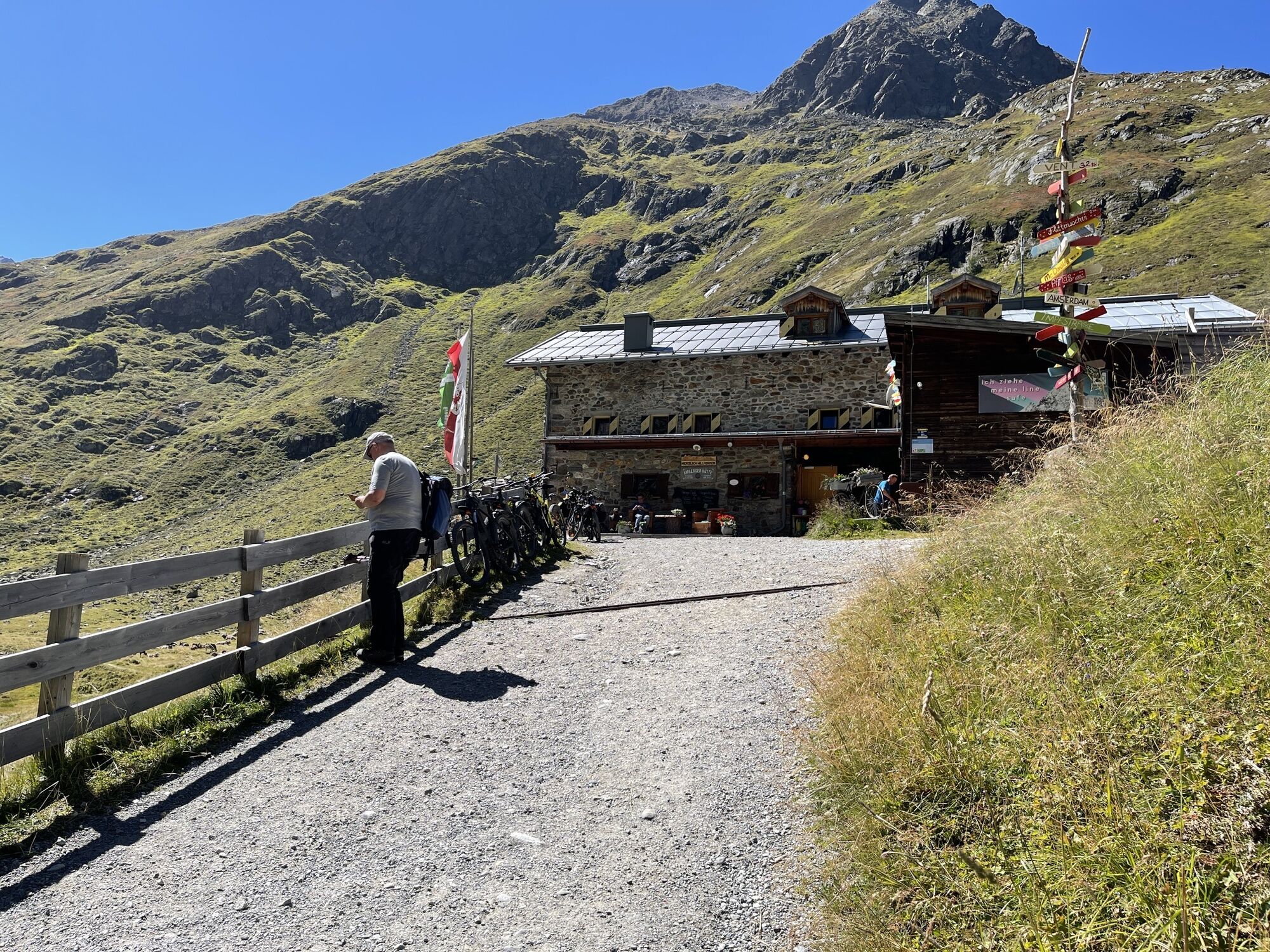
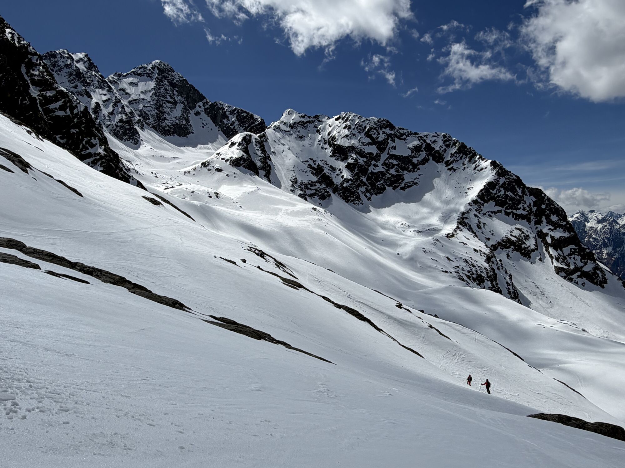
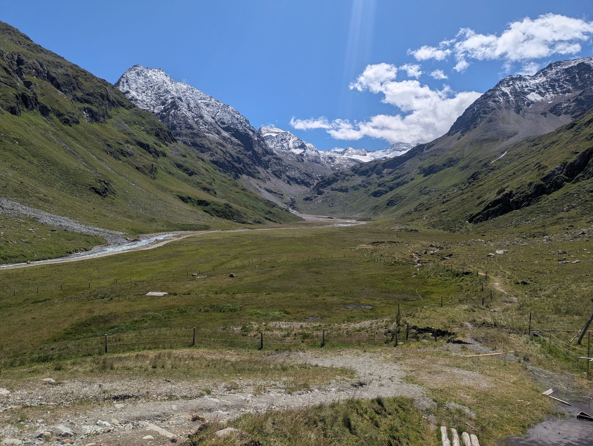
From the Winnebachseehütte the trail climbs in switchbacks, passing the Ernst-Riml-Spitze. Shortly before the Bachfallenferner, several meters of altitude must be covered in steep, small turns over the moraine. Exciting is the view and the crossing over the Bachfallenferner, first very flat, later a bit steeper. You still have to scramble up to the Gaislehnscharte, the highest point, but it is definitely worth it. Afterwards, a steep descent follows through the Schrankar into the Hintere Sulztal and to the Amberger Hütte.
Appropriate equipment such as breathable and weather-appropriate outdoor clothing is required for all hikes and routes. Carrying a first-aid kit, a mobile phone and possibly a hiking map, as well as sufficient provisions on hikes without refreshment opportunities, is necessary.
Ice axe, crampons, rope | mountain guide recommended.
Suitable for sure-footed, experienced alpine climbers without fear of heights; very good physical condition, alpine experience and mountain equipment (see under equipment), occasionally alpine safety gear, good weather conditions recommended Please observe the current weather report
The car journey to ÖTZTAL. Located in Tyrol, the Ötztal branches off to the south as the longest side valley of the Eastern Alps. The arrival by car leads travelers through the Inn Valley to the entrance of the valley and further along the Ötztal. In addition to the toll motorway, country roads can also be used. With the route planner, your trip can be determined quickly and conveniently: To the route planner: https://www.google.at/maps
Travel comfortably and safely by train to the Ötztal station. The final stop or exit point is the ÖTZTAL station. Afterwards, you travel comfortably and quickly by public transport or local taxi companies throughout the valley to your desired destination.
The current bus schedule can be found at: http://fahrplan.vvt.at
The following parking options are available:
Gries:
- Parking lot at the end of town | paid | multi-day tickets possible
Längenfeld:
- Sports center Längenfeld | free
- Nature park house Längenfeld | free
For multi-day routes, leave information and the return date clearly visible on the windshield.
T6
Did you know that…
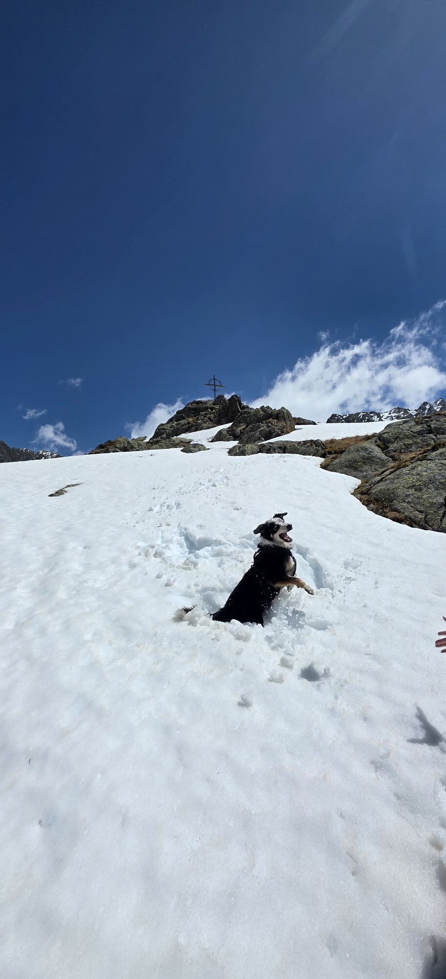
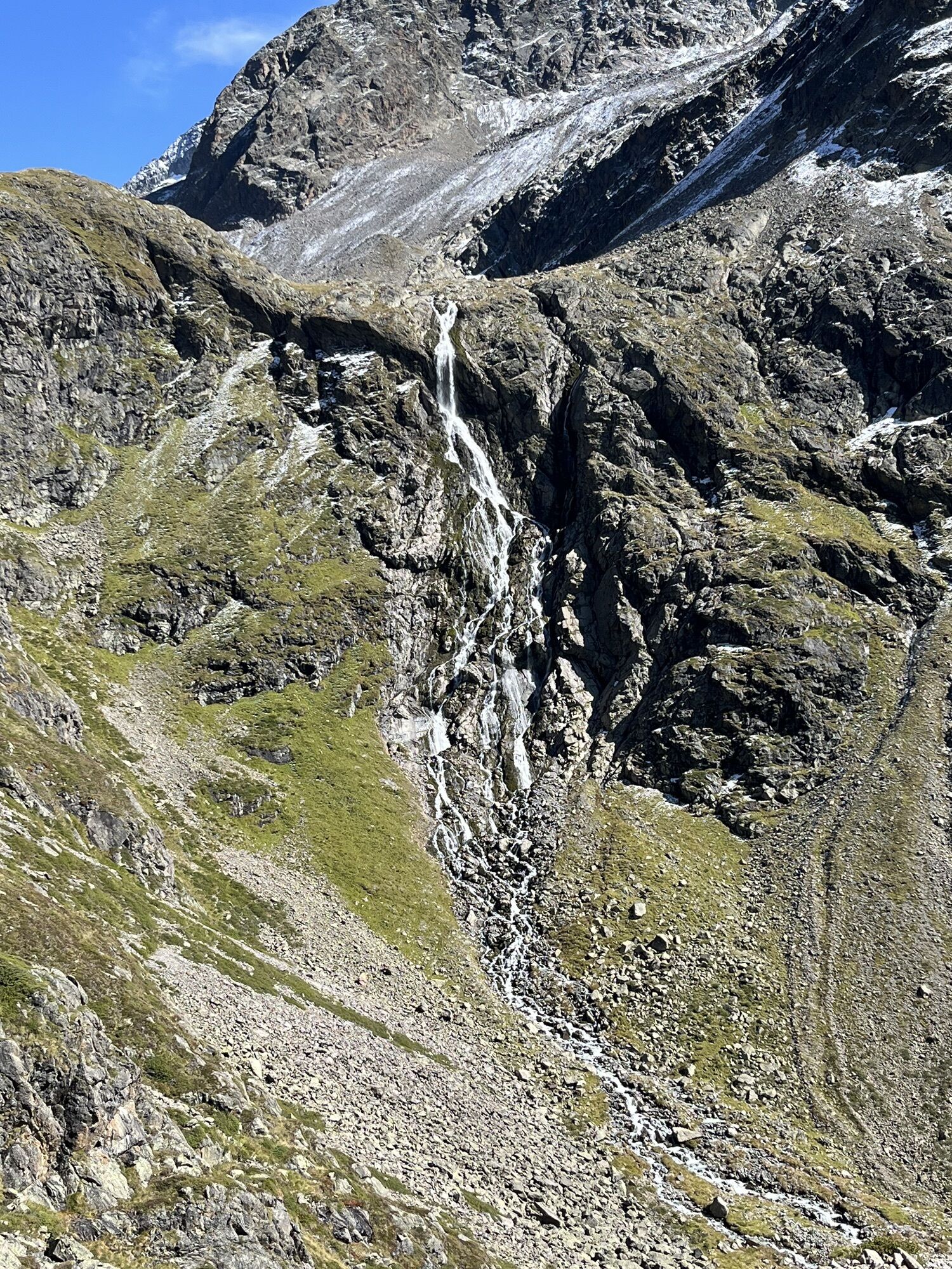
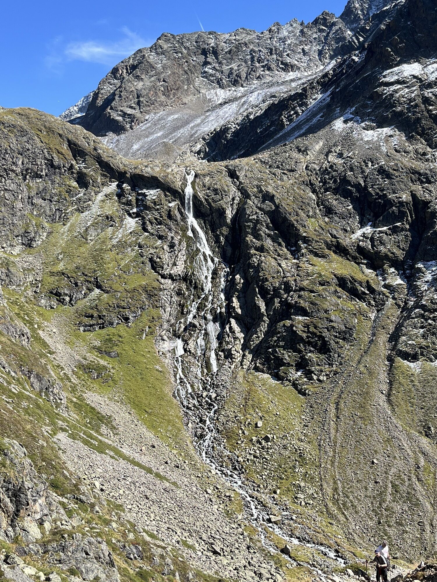
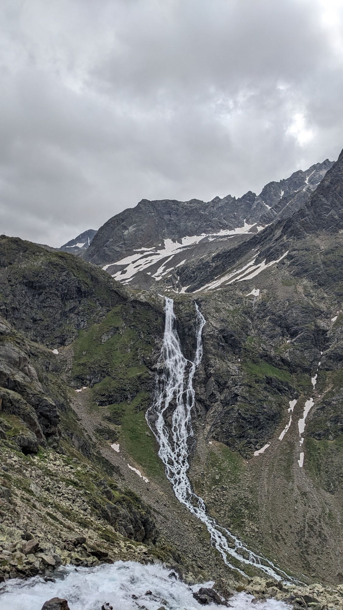
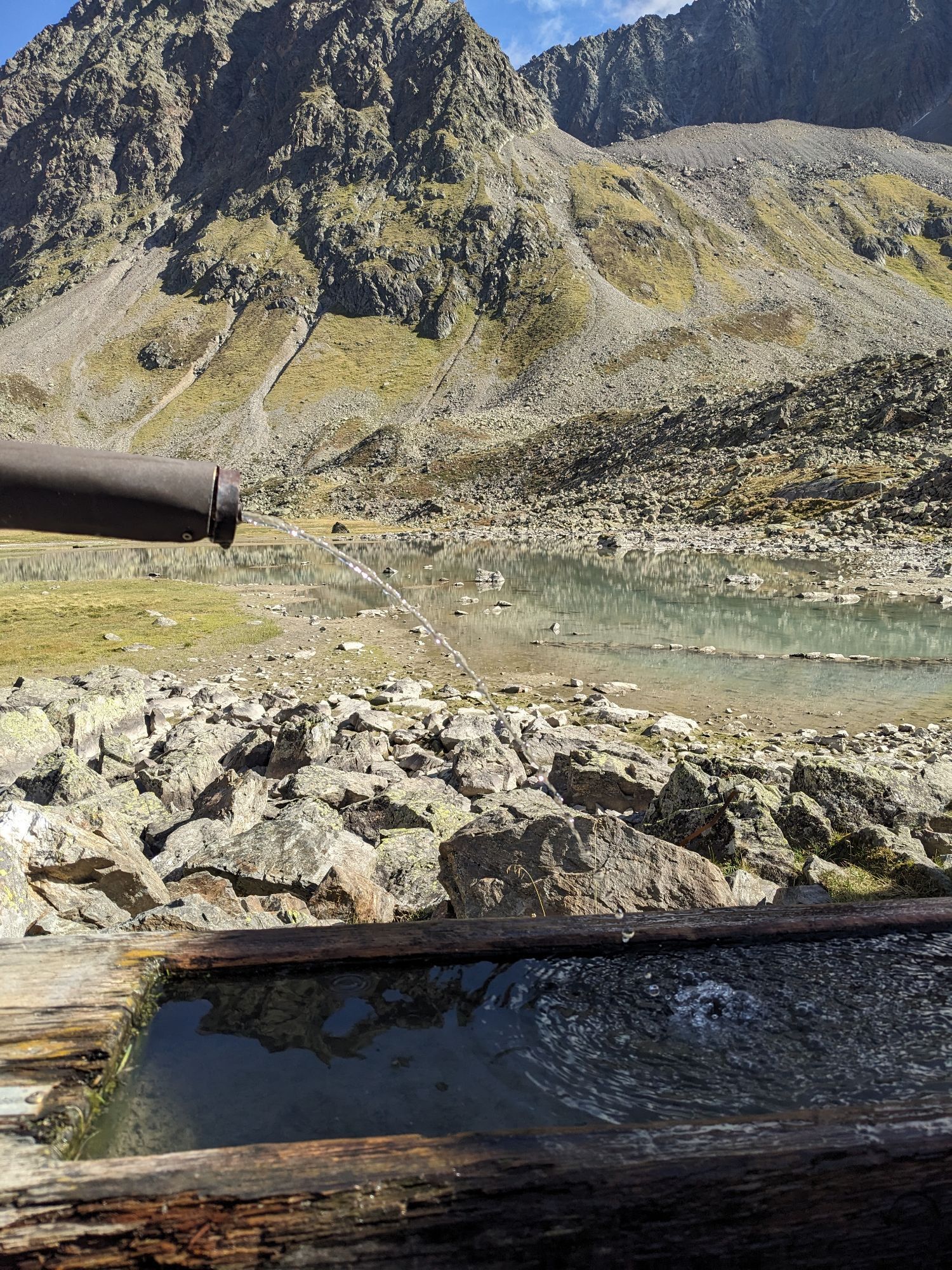
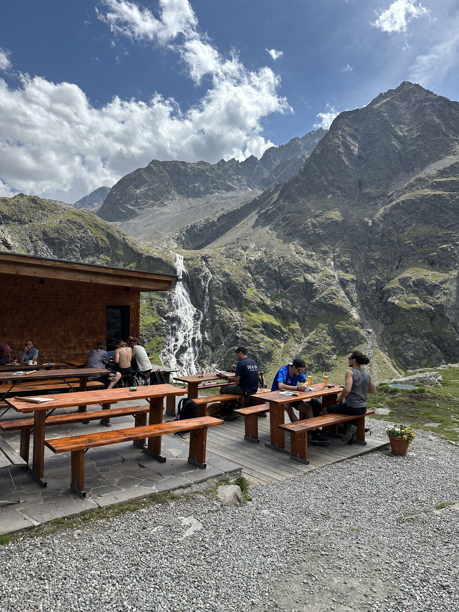
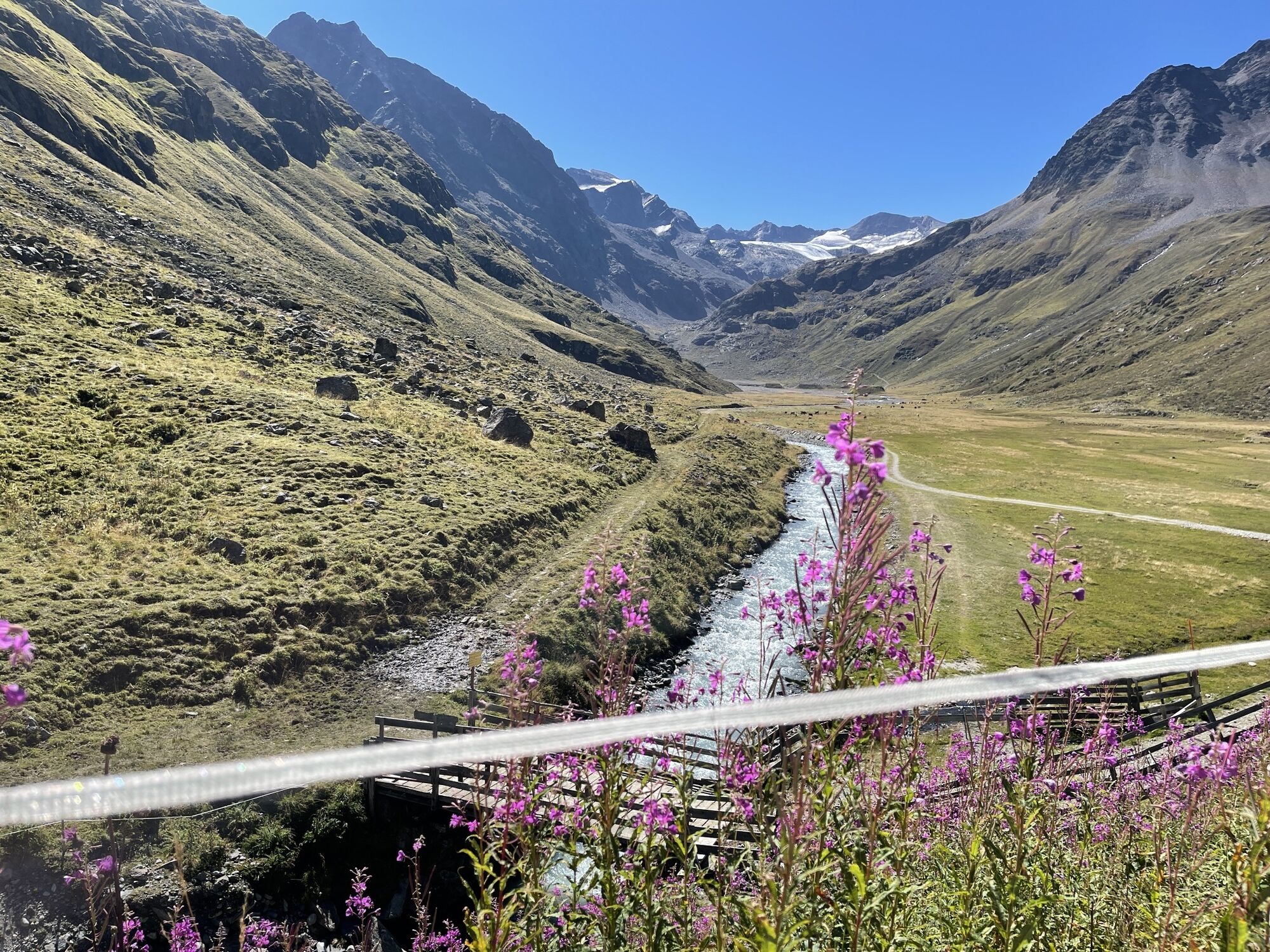
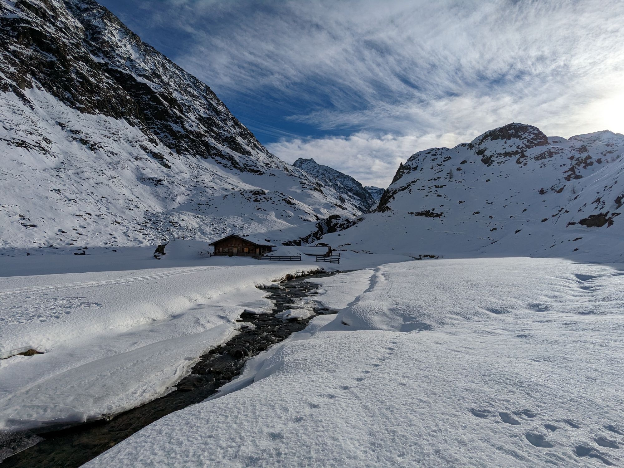
...the Bachfalle is a spectacular waterfall near the Winnebachseehütte.
More info about hiking in the Ötztal: www.oetztal.com/wandern
Kamery internetowe z trasy
Popularne wycieczki w okolicy
-
4,5
Winnebachsee Hut – Längenfeld/Gries
średniWędrówka 4,74 km -
4,8
Wilde Wasser Weg - Fortgeschritten
średniWędrówka 12,0 km -
4,2
Hike Stuibenfall - Umhausen
światłoWędrówka 2,95 km -
4,4
Stuibenfall Umhausen circular hike
światłoWędrówka 9,32 km -
4,4
Rundwanderung Hängebrück3
światłoWędrówka 6,32 km -
4,7
Winter circular route Brandalm/Burgstein - Längenfeld 204
średniWędrówka zimą 5,44 km -
4,3
Lampsenspitze, Sellrain, Tirol
średniWycieczka narciarska 4,97 km -
4,3
Amberger Hut - Längenfeld/Gries
średniWędrówka 5,60 km -
4,6
Umhausen - Stuibenfall - Umhausen
średniWędrówka 7,94 km -
5,0
Dresdner hütte - sulzenauerhütte
średniWędrówka 12,1 km
Wędrówki i tropienie


Nie przegap ofert i inspiracji na następne wakacje
Twój adres e-mail została dodana do listy mailingowej.