European E5 long-distance hiking trail – King’s Segment – Braunschweiger Hut to Zwieselstein (original route)
ciężki
Nawigacja
Nawigacja
Pobierz tę trasę na swój telefon komórkowy
European E5 long-distance hiking trail – King’s Segment – Braunschweiger Hut to Zwieselstein (original route)
ciężki
długodystansowy szlak pieszy
16,47
km
Zeskanuj kod QR i rozpocznij nawigację w aplikacji bergfex.

Wędrówki i tropienie


European E5 long-distance hiking trail – King’s Segment – Braunschweiger Hut to Zwieselstein (original route)
ciężki
Odległość
16,47
km
Czas trwania
06:10
h
Ascent
265
hm
Poziom morza
1.454 -
2.985
m
Ścieżka do pobrania
European E5 long-distance hiking trail – King’s Segment – Braunschweiger Hut to Zwieselstein (original route)
ciężki
długodystansowy szlak pieszy
16,47
km
Zdjęcia naszych użytkowników
 © DeJuBLNUtworzono dnia 18.07.2025
 © DeJuBLNUtworzono dnia 18.07.2025
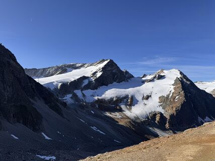 © DeJuBLNUtworzono dnia 18.07.2025
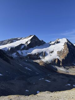 © DeJuBLNUtworzono dnia 18.07.2025
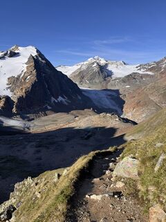 © DeJuBLNUtworzono dnia 18.07.2025
 © Marcel ZurkirchenUtworzono dnia 10.07.2025
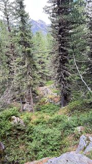 © Marcel ZurkirchenUtworzono dnia 10.07.2025
 © MichaelUtworzono dnia 21.06.2025
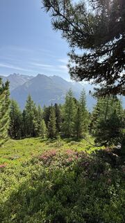 © MichaelUtworzono dnia 21.06.2025
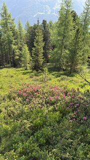 © MichaelUtworzono dnia 21.06.2025
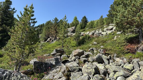 © MichaelUtworzono dnia 21.06.2025
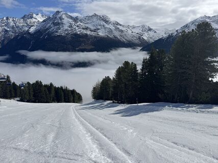
 © Carsten KühneUtworzono dnia 15.04.2026
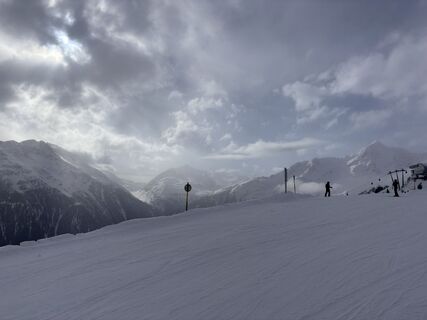 © dpweberUtworzono dnia 02.04.2026
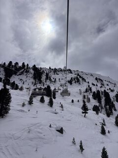 © dpweberUtworzono dnia 29.03.2026
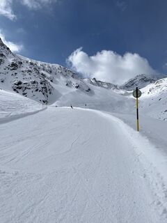
 © Tim Walter 1Utworzono dnia 23.03.2026
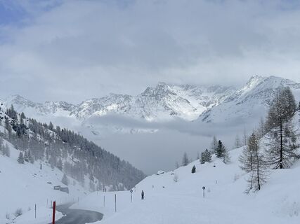 © sam1007Utworzono dnia 15.03.2026
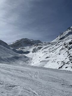
 © Agnieszka ScholzUtworzono dnia 06.03.2026
 © Peter NinauszUtworzono dnia 22.02.2026
 © Peter NinauszUtworzono dnia 22.02.2026
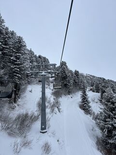
 © JBERNERUtworzono dnia 16.02.2026
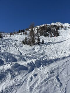
 © Andreas WiborgUtworzono dnia 30.01.2026
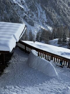 © Tim SchefflerUtworzono dnia 29.01.2026
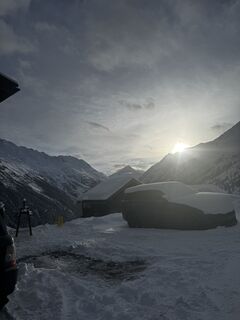 © Tim SchefflerUtworzono dnia 26.01.2026
 © Karl-HeinzUtworzono dnia 03.09.2024


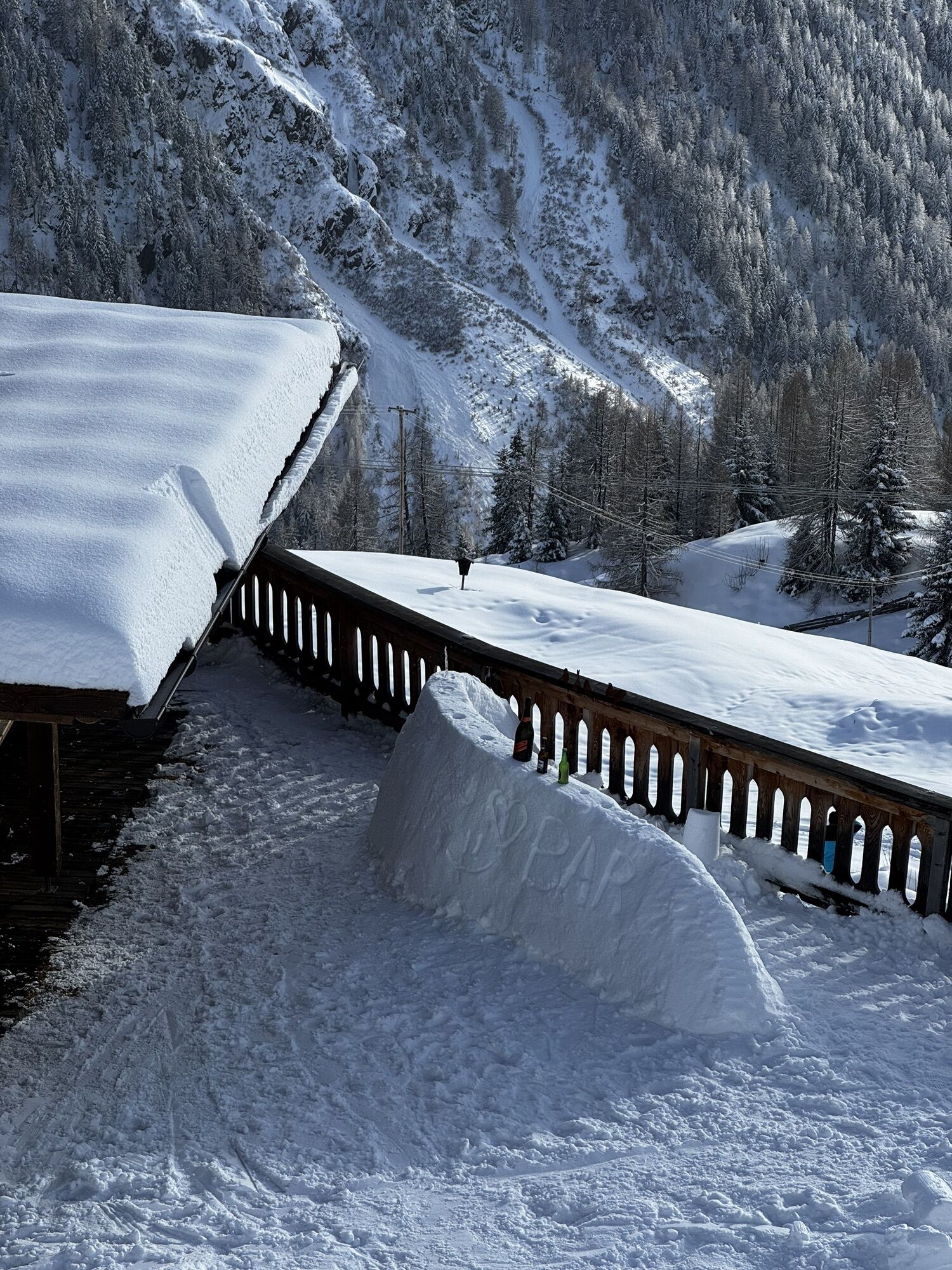


This particularly challenging segment of the trail starts at the Braunschweiger Hut (2,758 m) with a rather steep and difficult ascent to the Pitztaler Jöchl saddle (3,000 m), the highest point of this...
Opis
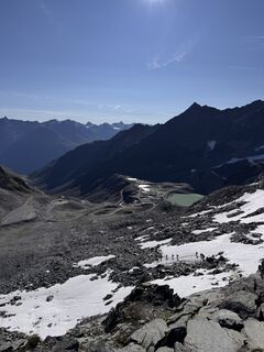
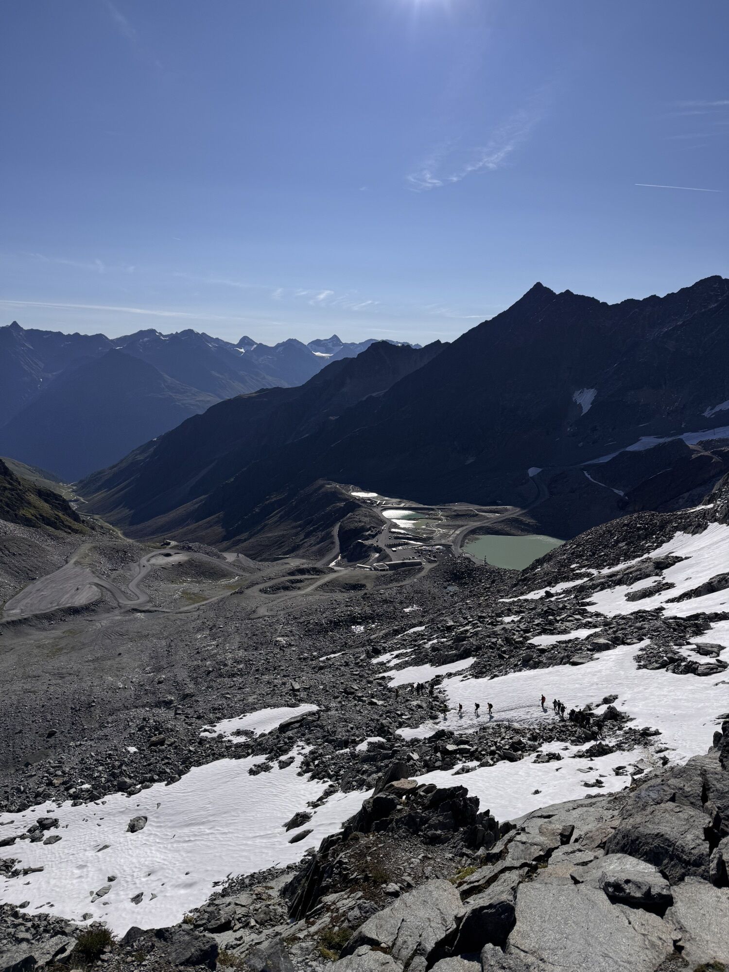
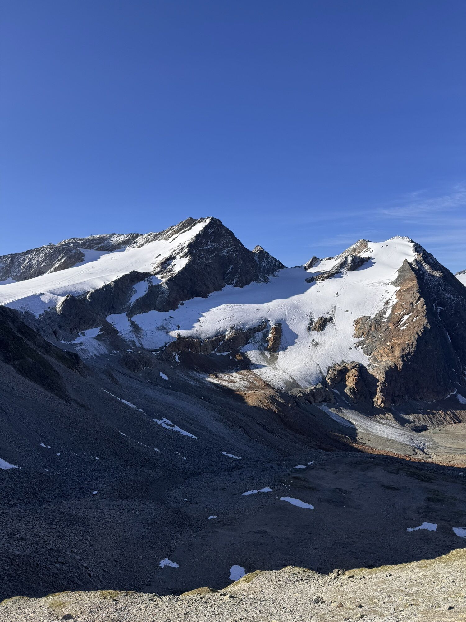
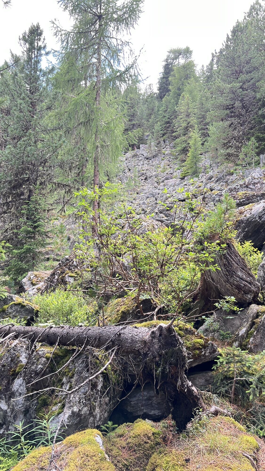
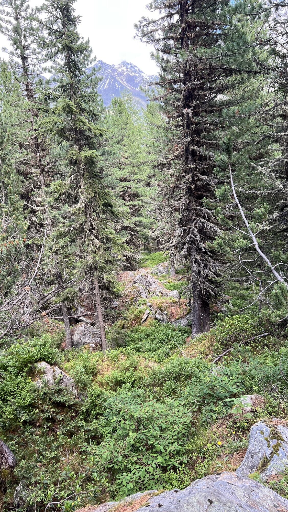
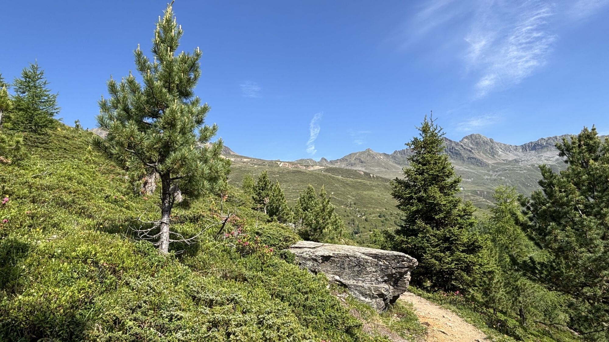
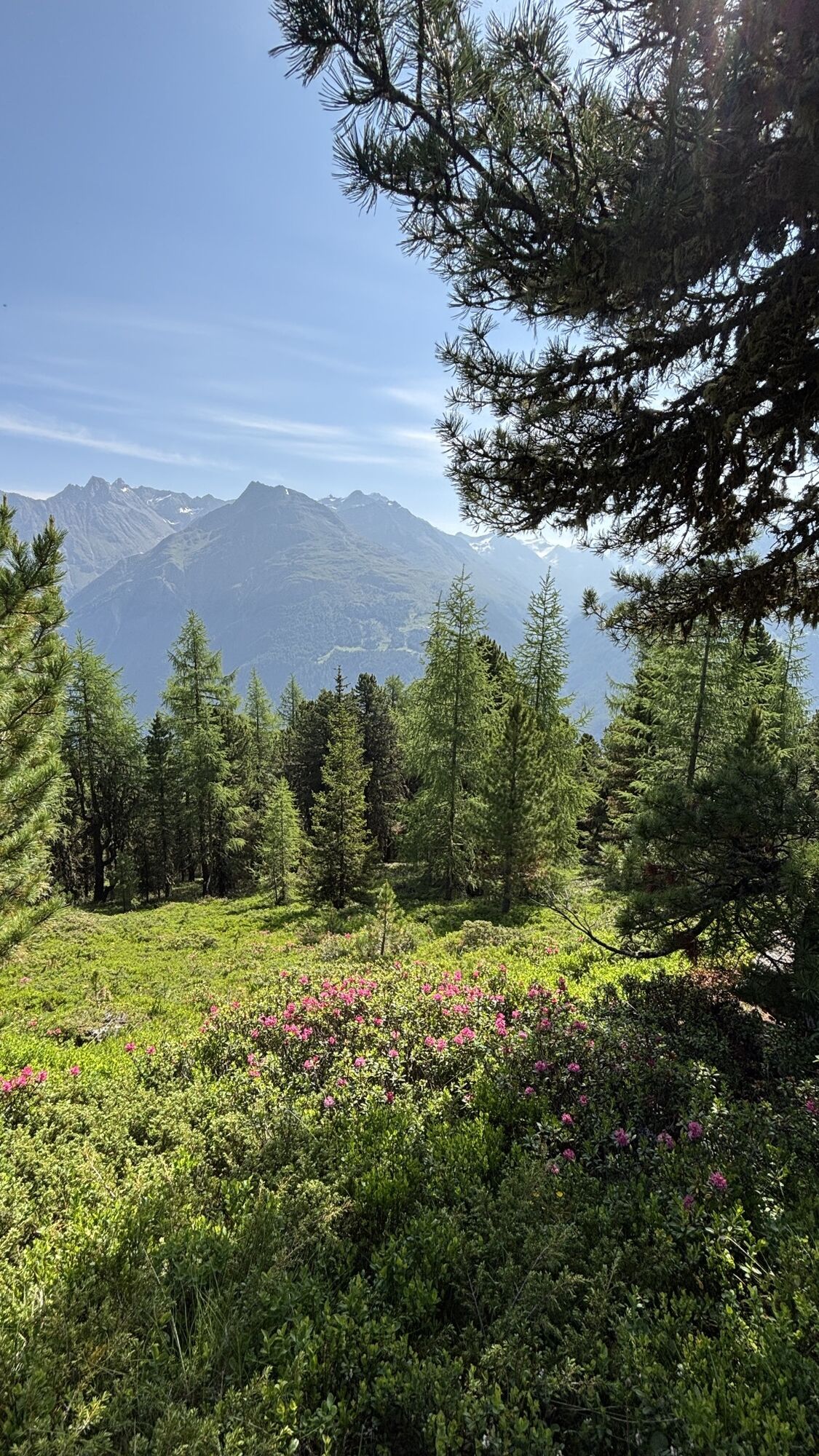
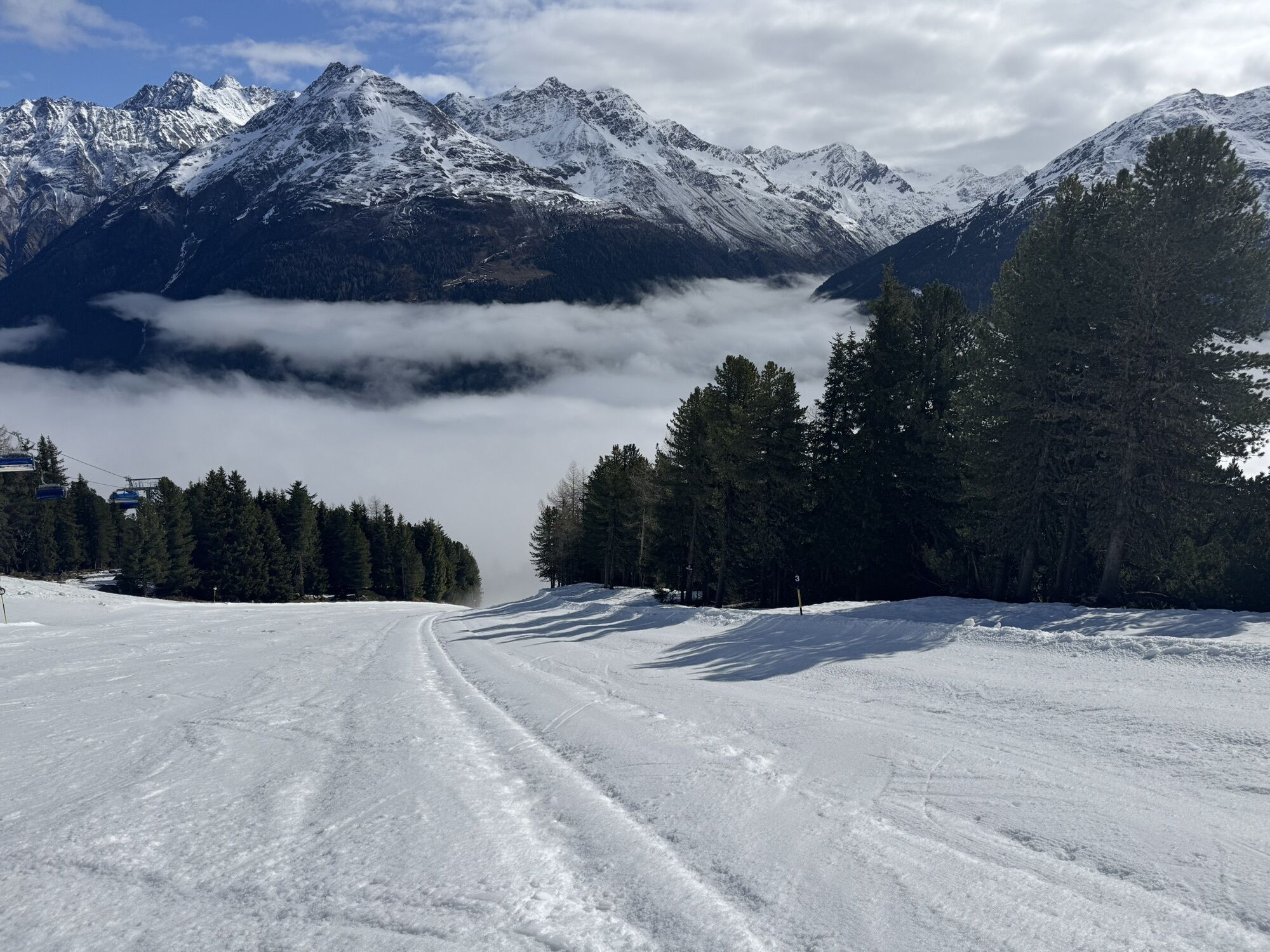
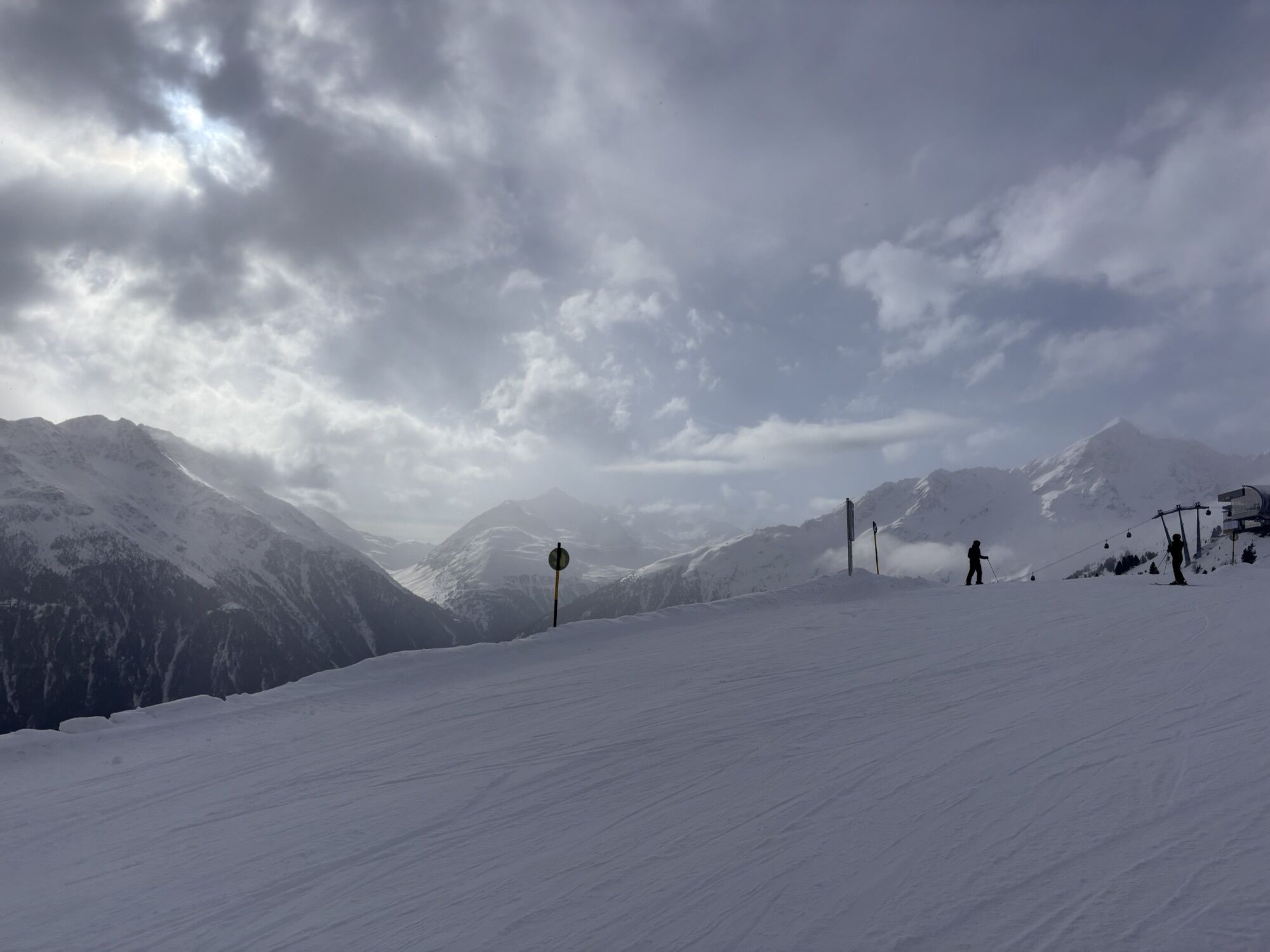
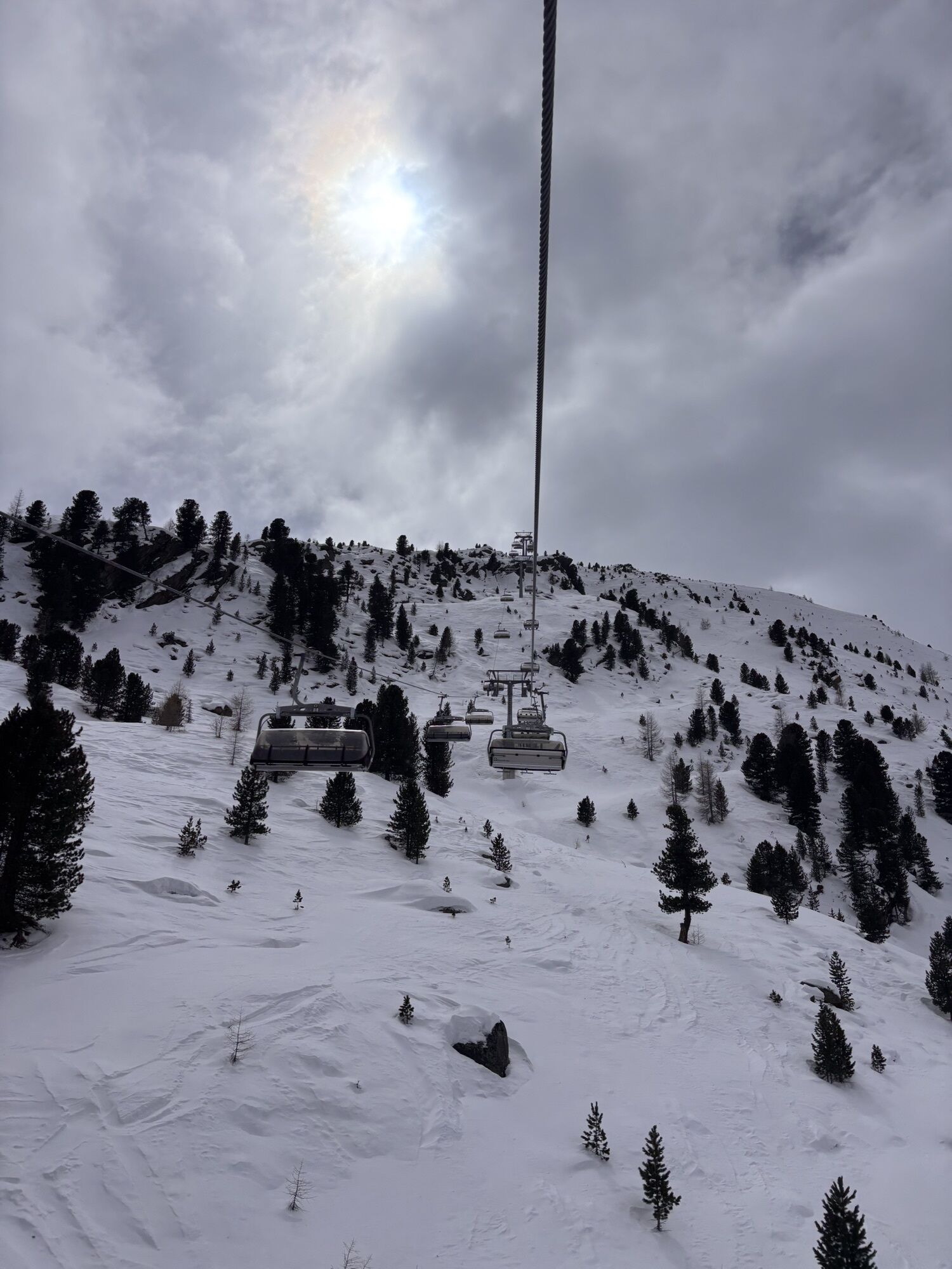
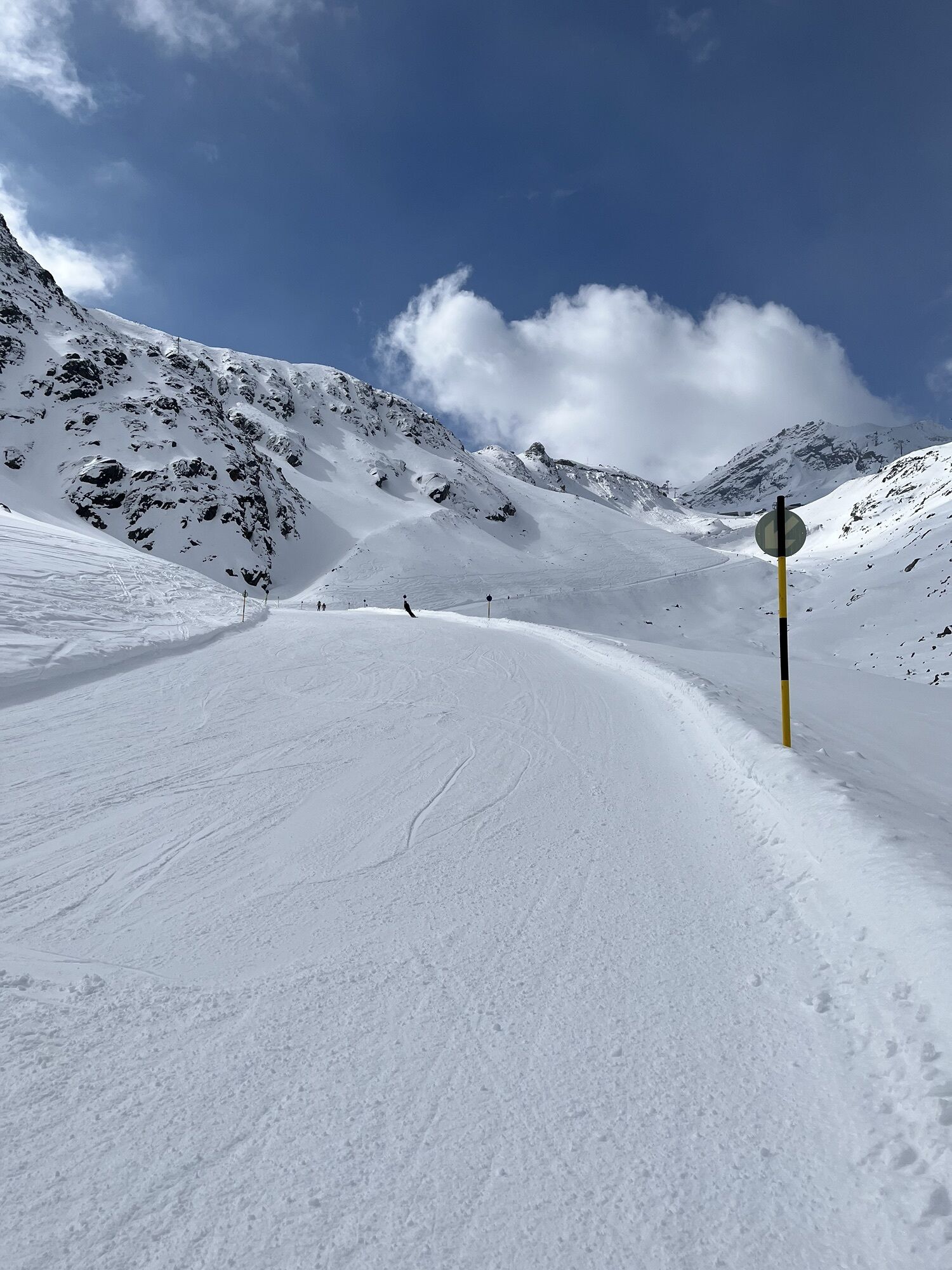
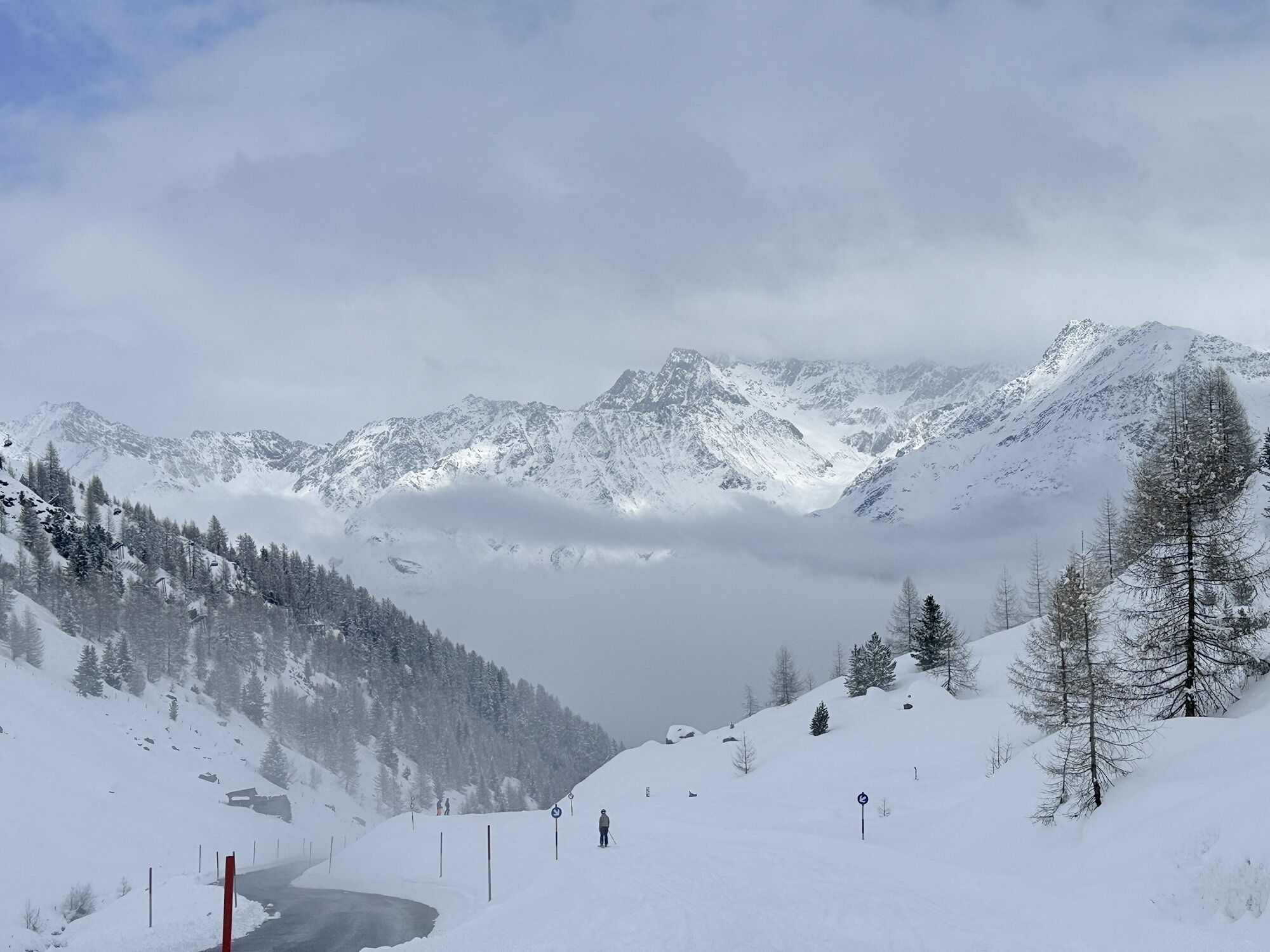
This particularly challenging segment of the trail starts at the Braunschweiger Hut (2,758 m) with a rather steep and difficult ascent to the Pitztaler Jöchl saddle (3,000 m), the highest point of this E5 segment. Once you reach the saddle, you will be rewarded with spectacular views of the Braunschweiger Hut, the Wildspitze mountain, the Rettenbachtal valley and the Riffelsee lake. You may encounter large snowfields in spring and early summer. There is an alternative shorter route via the Rettenbachjoch saddle. Both ways will take you to the Rettenbachferner glacier. From there, you will descend through the Rettenbachtal valley past luscious pastures and a little chapel to Zwieselstein (1,470 m).
Trasa
Braunschweiger Hütte
(2.758 m)
Schronienie
0,0 km
Pitztaler Jochköpfle
(3.023 m)
Szczyt
1,2 km
Gaislachalm
(1.972 m)
Schronienie
11,7 km
Gaislachalm
(1.961 m)
Sąsiedztwo
12,0 km
Mariahilfkapelle Gaislach
(1.784 m)
Miejsce kultu
13,0 km
Brückenwirt
(1.463 m)
Restauracja
16,2 km
Zwieselstein
(1.470 m)
Wioska
16,3 km
Trasa
European E5 long-distance hiking trail – King’s Segment – Braunschweiger Hut to Zwieselstein (original route)
ciężki
długodystansowy szlak pieszy
16,47
km
Marienkapelle
(2.751 m)
Miejsce kultu
0,0 km
Braunschweiger Hütte
(2.758 m)
Schronienie
0,0 km
Pitztaler Jochköpfle
(3.023 m)
Szczyt
1,2 km
Bergsteigerkapelle Sölden
(2.675 m)
Miejsce kultu
3,1 km
Löple Alm
(1.974 m)
Restauracja
10,8 km
Gaislachalm
(1.972 m)
Schronienie
11,7 km
Gaislachalm
(1.961 m)
Sąsiedztwo
12,0 km
Gasthaus Silbertal
(1.970 m)
Restauracja
12,0 km
Gaislach
(1.809 m)
Sąsiedztwo
12,9 km
Mariahilfkapelle Gaislach
(1.784 m)
Miejsce kultu
13,0 km
Brückenwirt
(1.463 m)
Restauracja
16,2 km
Zwieselstein
(1.470 m)
Wioska
16,3 km
Autor
Dostarczone przez Ötztal

Informacje o przyjeździe
Przybycie
The Ötztal is a southern side valley of the Inn valley. For your arrival by car, you can plan the best route from your home town with the route planner online at https://www.google.at/maps
Transport publiczny
Enjoy a both comfortable and relaxing train ride to the train station in Ötztal Bahnhof. You get off the train in ÖTZTAL Bahnhof where you change to a public bus or local taxi. The current bus schedule can be found at: http://fahrplan.vvt.at
Nie ma jeszcze recenzji
Kamery internetowe z trasy
Seekogel
Gaislachkogel
Schwarze Schneidbahn
Tiefenbachgletscher
Rettenbachgletscher
Hochsölden
Sölden - Grünwald Resort
Top Mountain Crosspoint Hochgurgl
Top Mountain Crosspoint Hochgurgl
Top Mountain Crosspoint Hochgurgl
Top Mountain Crosspoint Hochgurgl
Top Mountain Crosspoint Hochgurgl
Sölden - Grünwald Resort
Giggijoch
Giggijoch
Giggijoch
Giggijoch
Giggijoch
Giggijoch
Giggijoch
Giggijoch
Top Mountain Crosspoint Hochgurgl
Schwarze Schneid Mittelstation
Sölden - Gaislachkogelbahn Mittelstation
Sölden - Schwarzkogl Talstation
Sölden - Tiefenbachkogl
Sölden
The Peak Sölden**** Chalets und Appartements
Popularne wycieczki w okolicy
- 4,8
Vent - Kreuzspitze
Wędrówka 20,6 km - 4,3
Amberger Hut - Längenfeld/Gries
średniWędrówka 5,60 km - 4,4
Hochtour Wildspitze, 3.768m
średniWycieczka wysokogórska 9,75 km - 4,7
Winter circular route Brandalm/Burgstein - Längenfeld 204
średniWędrówka zimą 5,44 km - 4,4
Rundwanderung Hängebrück3
światłoWędrówka 6,32 km - 3,1
Tiefenbachglacier - Mountaineering Village Vent
średniWędrówka 10,8 km - 4,5
Vent - Wilder Mann - Breslauer Hütte - Stableinalm
średniWędrówka 7,25 km - 4,1
Hohe Geige über Gawinden und den Westgrat
ciężkiWędrówka 14,3 km - 5,0
Obergurgl - Ramolhaus
Wędrówka 7 km - 5,0
Nissl Alm - Längenfeld/Gries
światłoWędrówka 5,17 km
Wędrówki i tropienie

Ponad 550.000 propozycji wycieczek, szczegółowe mapy i intuicyjny planer tras sprawiają, że aplikacja jest niezbędna dla wszystkich entuzjastów przyrody.

Nie przegap ofert i inspiracji na następne wakacje
Zapisz się do newslettera
Błąd
Wystąpił błąd. Spróbuj ponownie.Dziękujemy za rejestrację
Twój adres e-mail została dodana do listy mailingowej.
Wycieczki po całej Europie
Austria Szwajcaria Niemcy Włochy Słowenię Francja Holandia Belgia Polska Liechtenstein Czechy Słowacja Hiszpania Chorwacja Bośnia i Hercegowina Luksemburg Andorra Portugalia Islandia Wielka Brytania Irlandia Grecja Albania Macedonia Północna Malta Norwegia Czarnogóra Mołdawia Kosowo Węgry San Marino Rumunia Estonia Łotwa Białoruś Cypr Litwa Serbia Bułgaria Monako Dania Szwecja Finlandia