


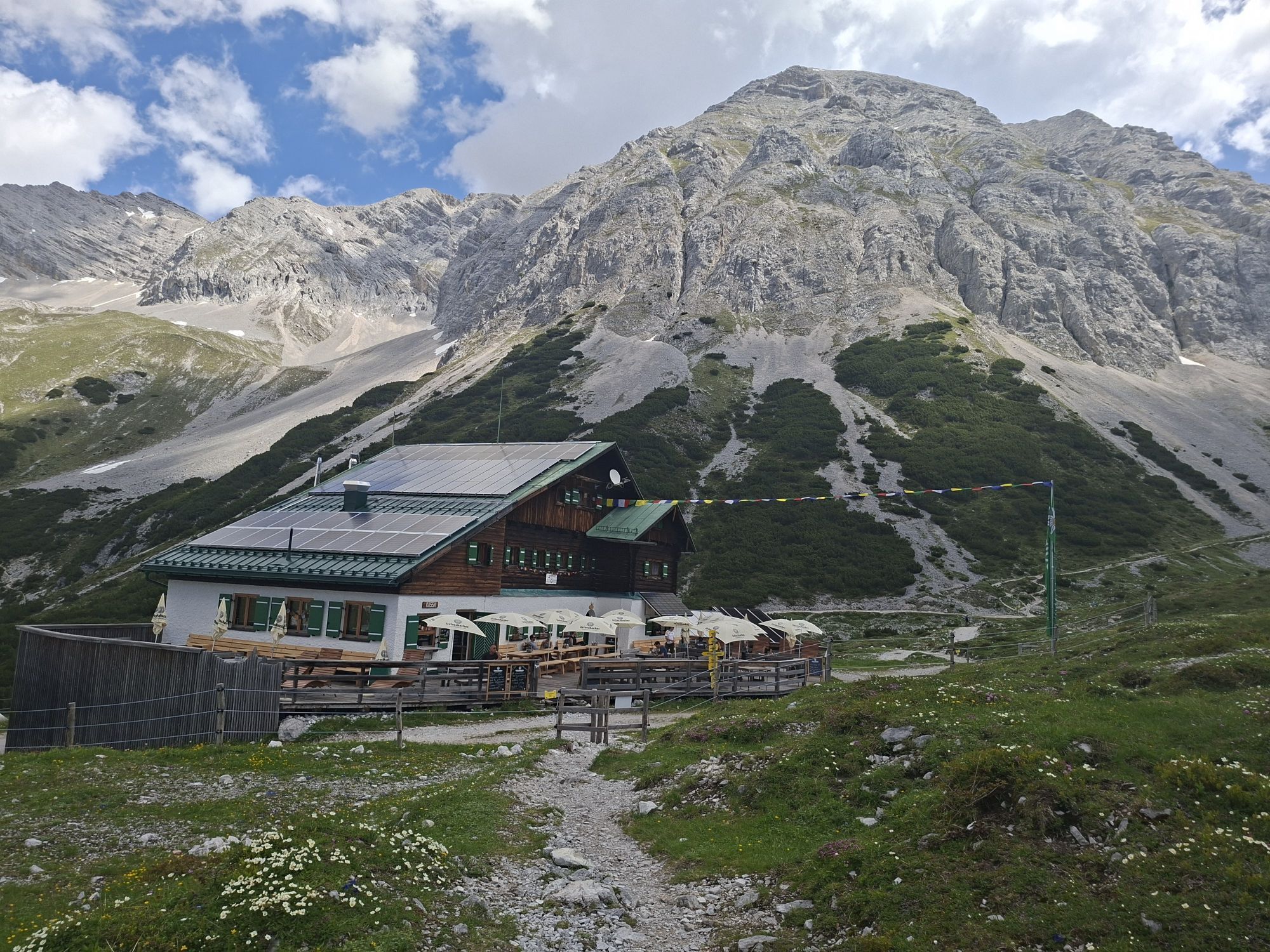
Karwendel Höhenweg - Pfeishütte to Bettelwurfhütte
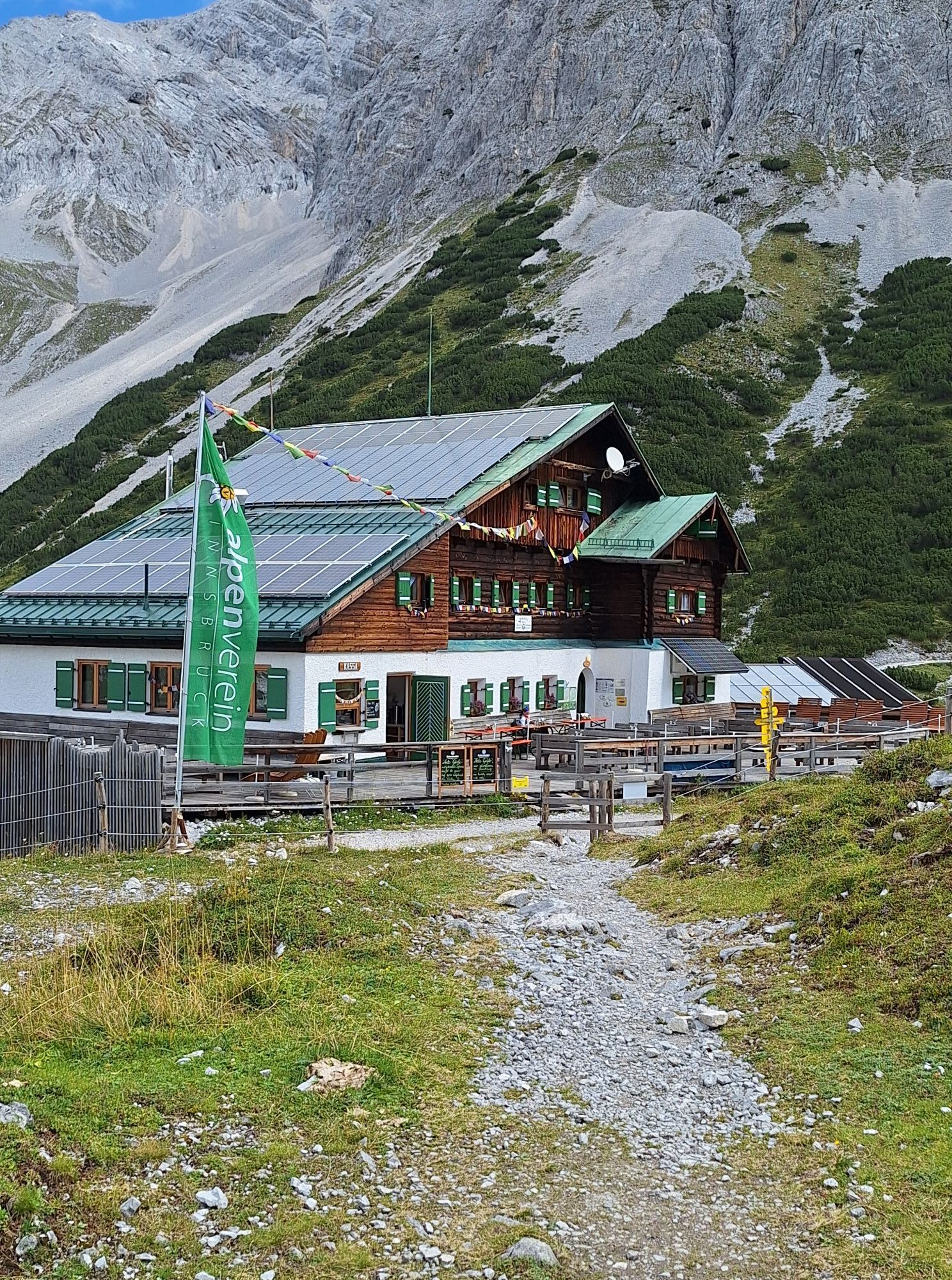
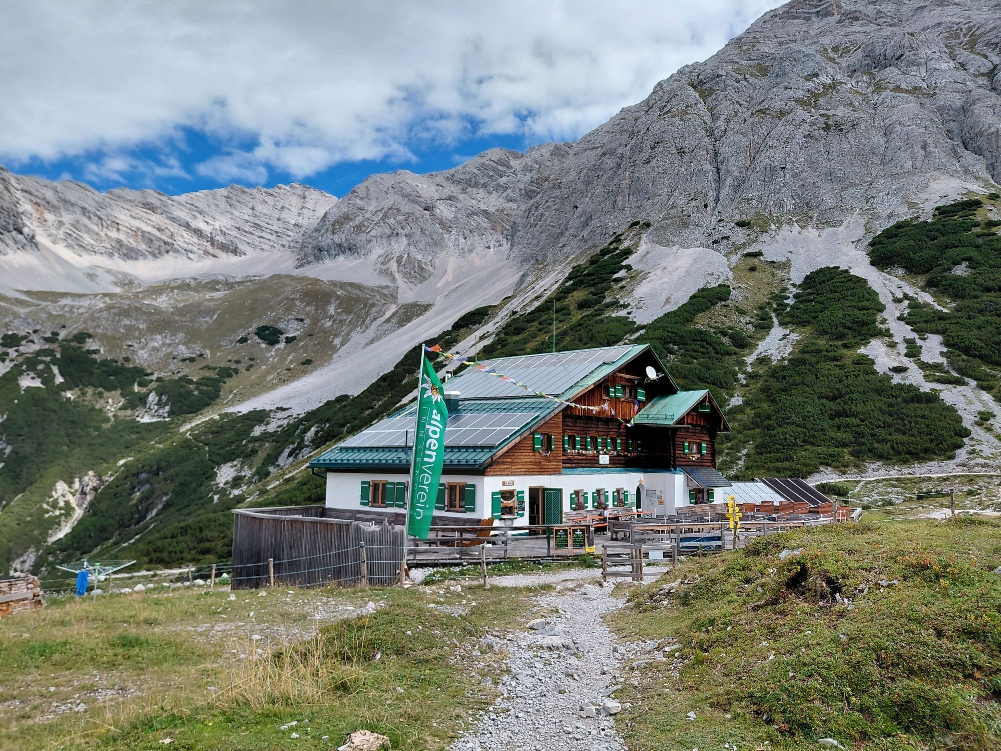
In the midst of the southern Karwendel lies the cozy Pfeishütte in the "Pfeis". The fourth stage of the Karwendel Höhenweg starts from there, crossing the Stempeljoch and the Lafatscher Joch, and hiking...
In the midst of the southern Karwendel lies the cozy Pfeishütte in the "Pfeis". The fourth stage of the Karwendel Höhenweg starts from there, crossing the Stempeljoch and the Lafatscher Joch, and hiking to the Bettelwurfhütte.

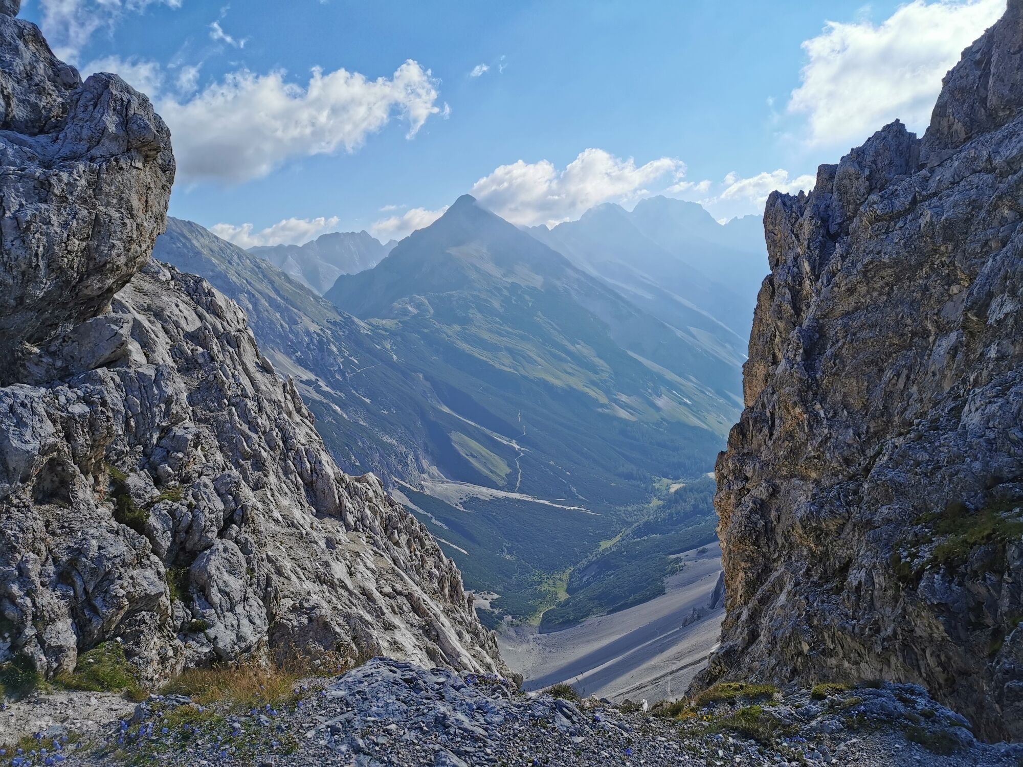

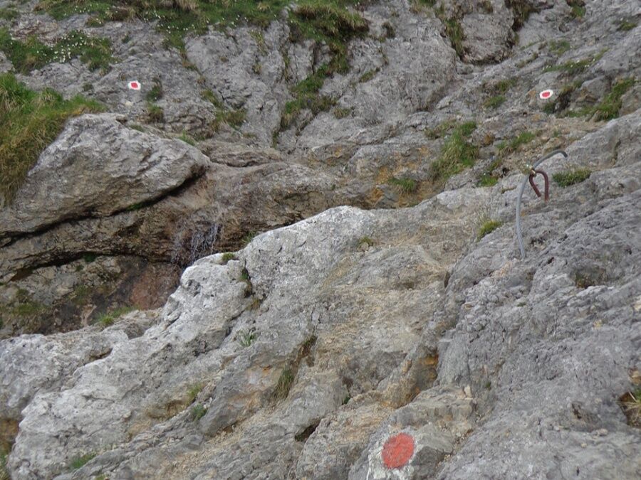
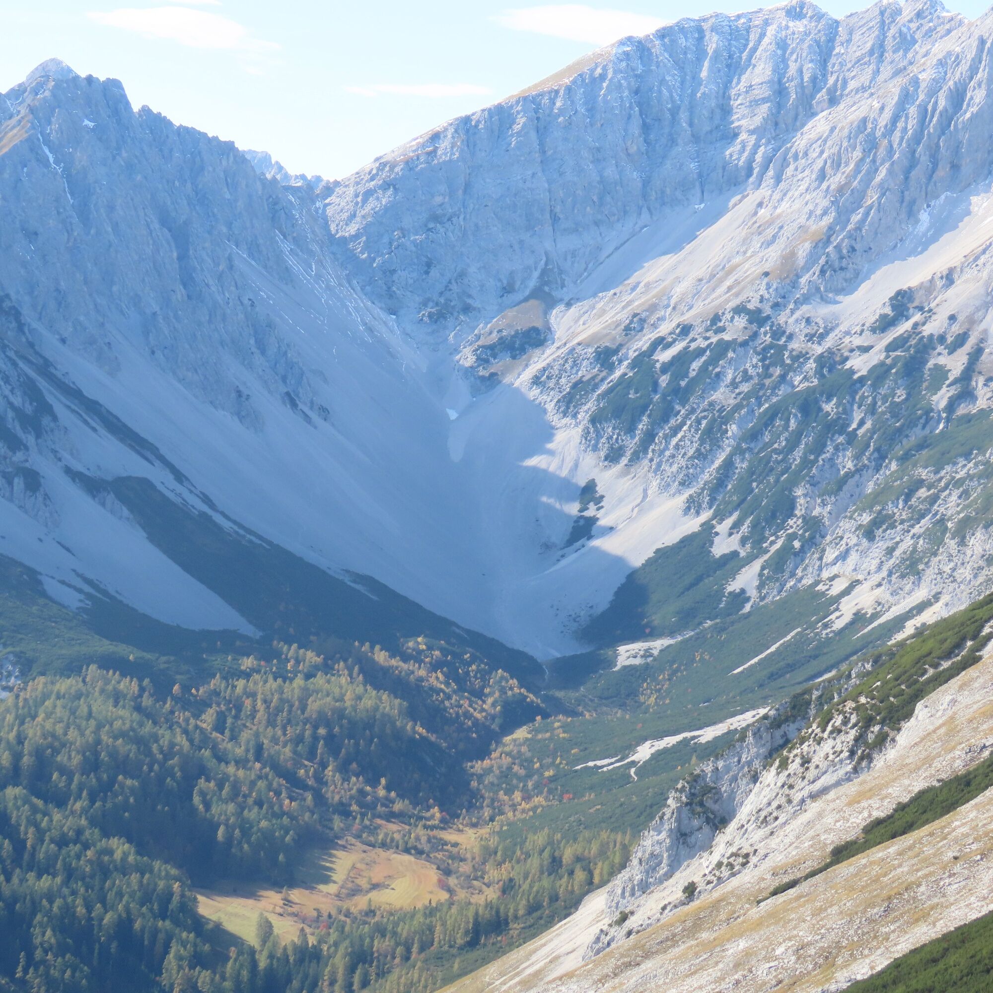

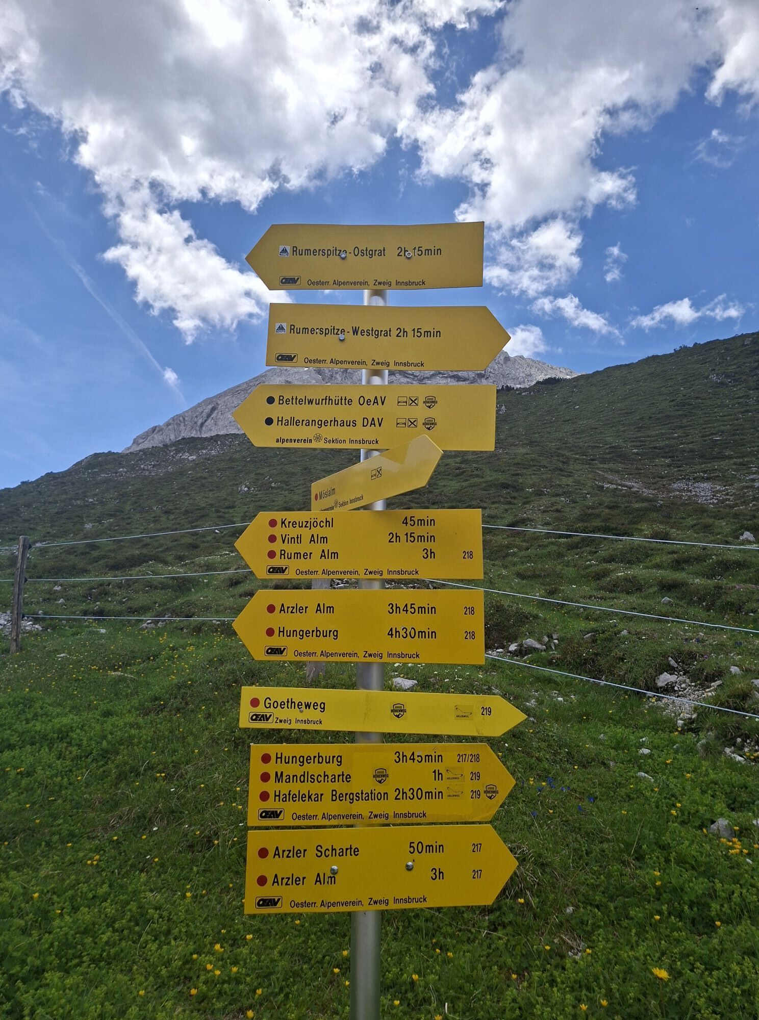
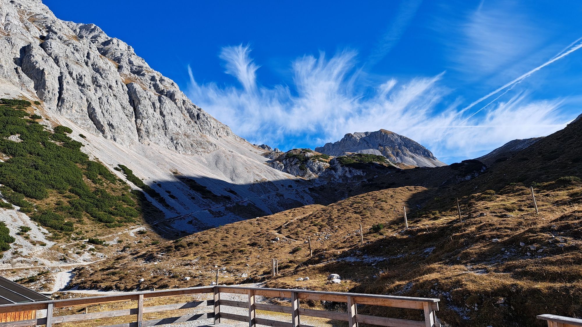
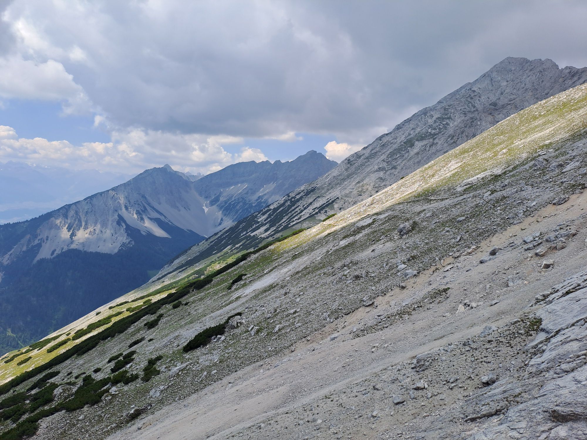
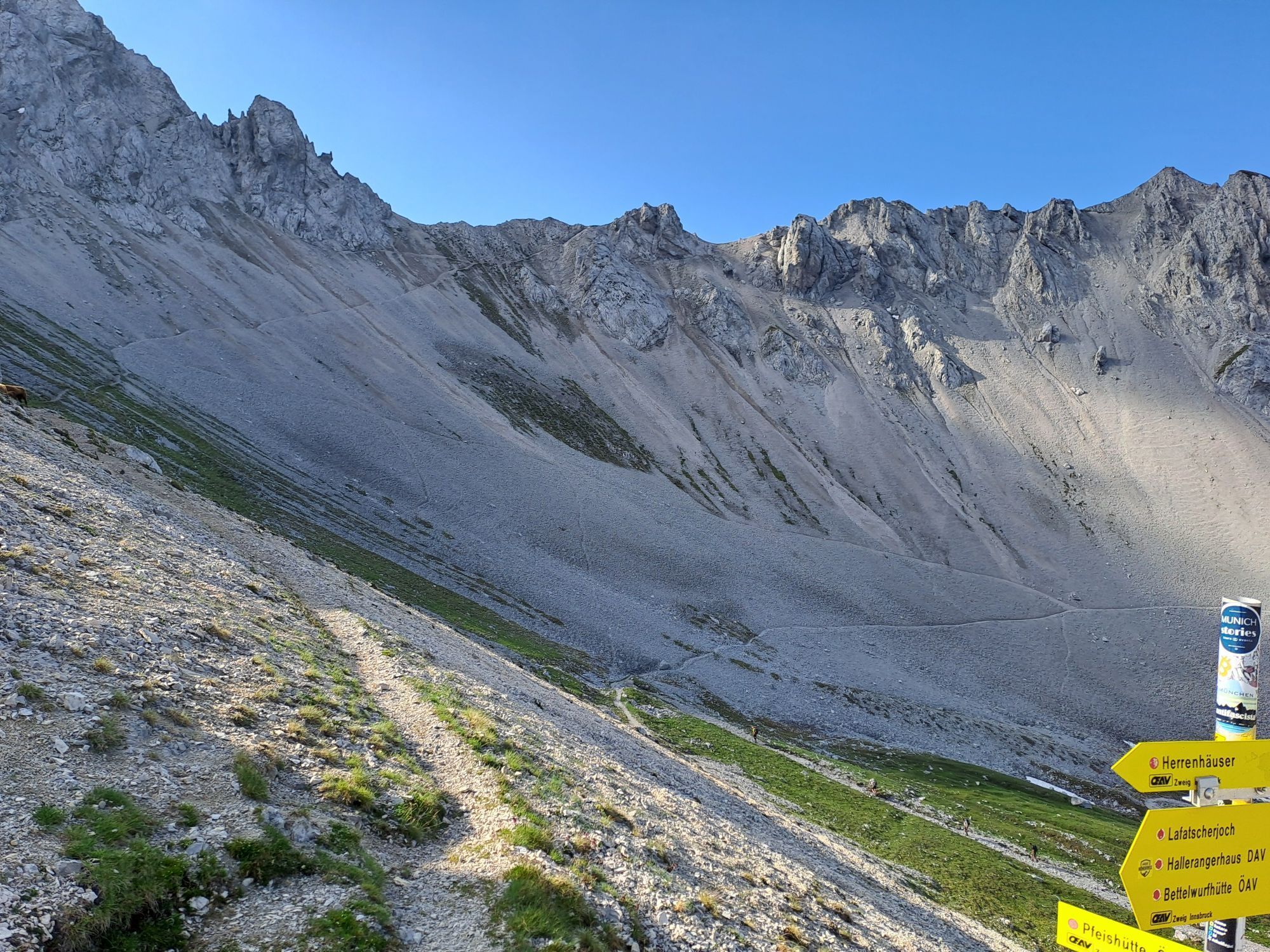
You start at the Pfeishütte and follow trail 221 (= Via Alpina) eastwards with a gentle ascent to the Stempeljoch. At an altitude of 2215 meters, you reach the saddle between Pfeiser Spitze and Stempeljochspitze.
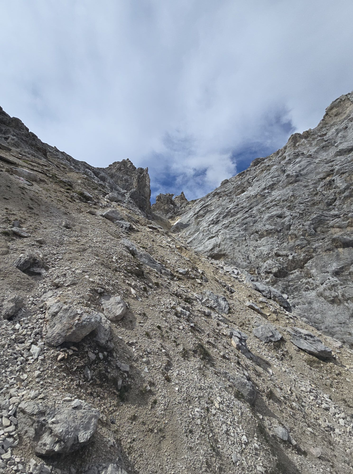
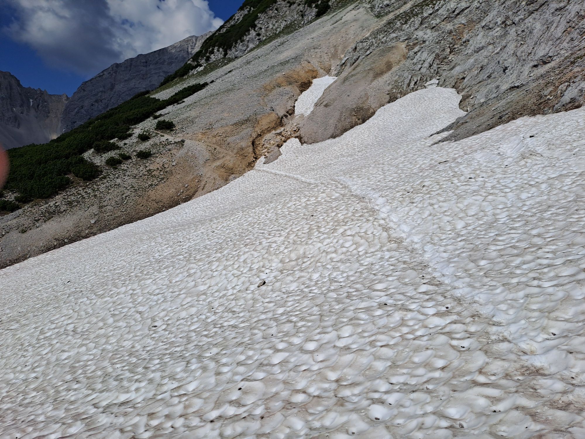
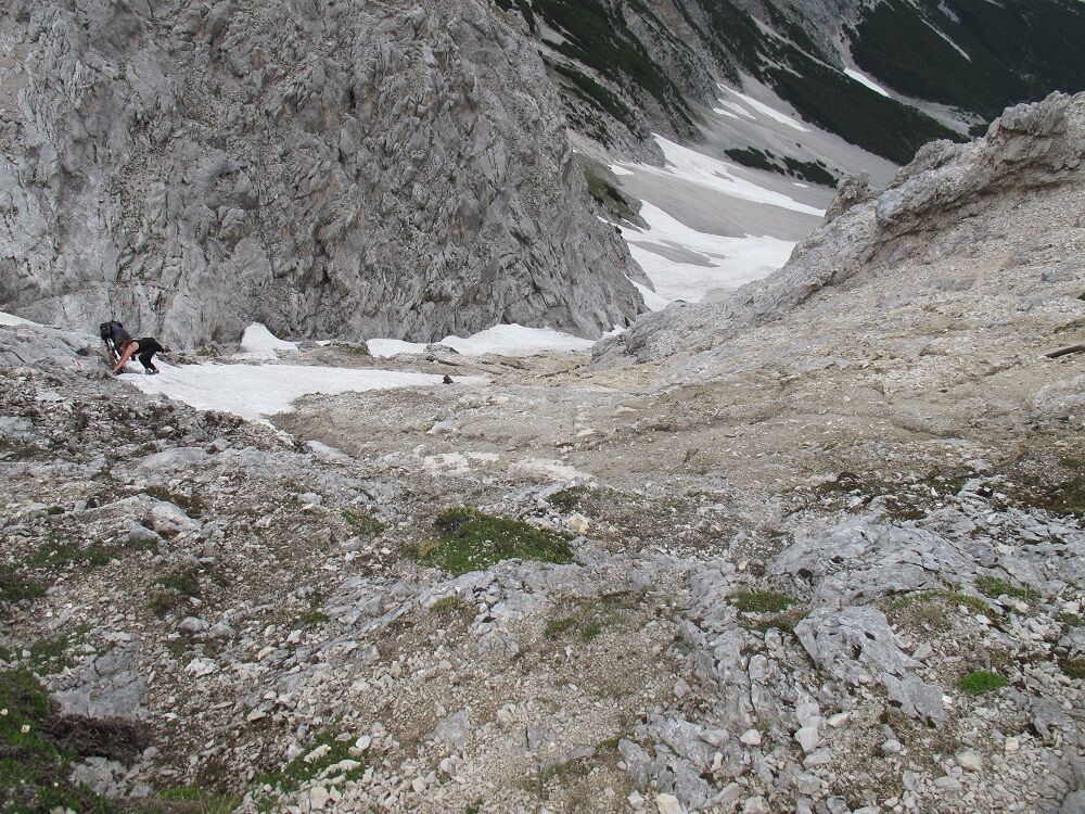
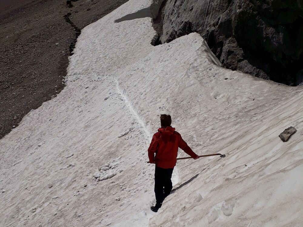
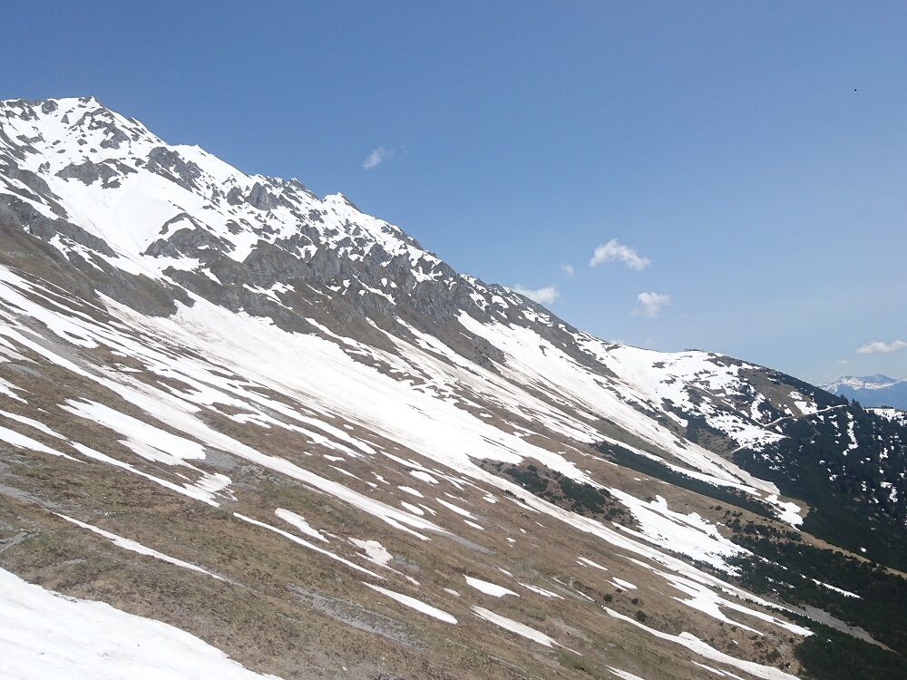
From here, the trail leads steeply down over a scree slope. CAUTION: In early summer there is often a lot of old snow on the Stempel slope, which is very hard frozen early in the morning (bring poles and crampons for this)!
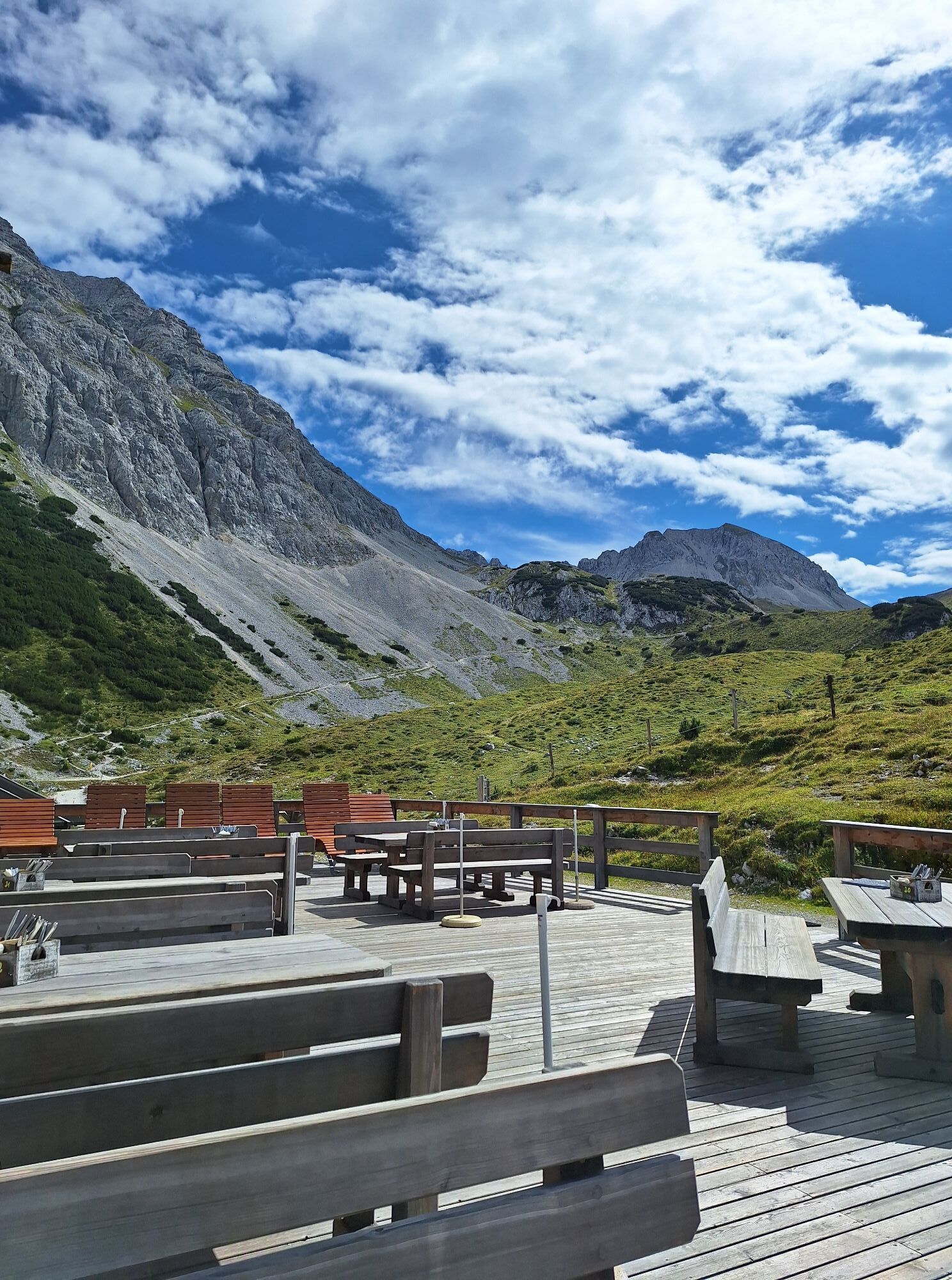
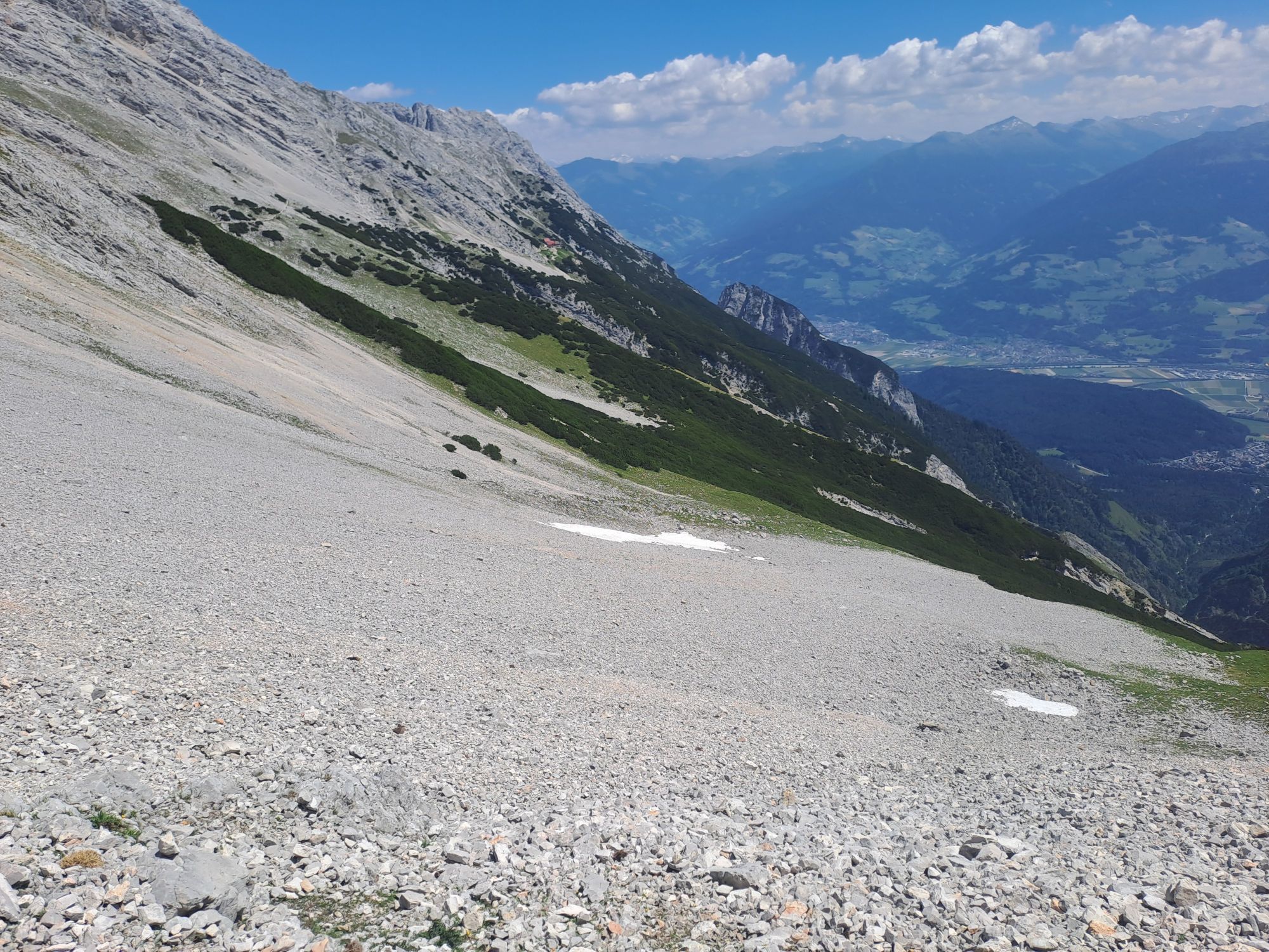
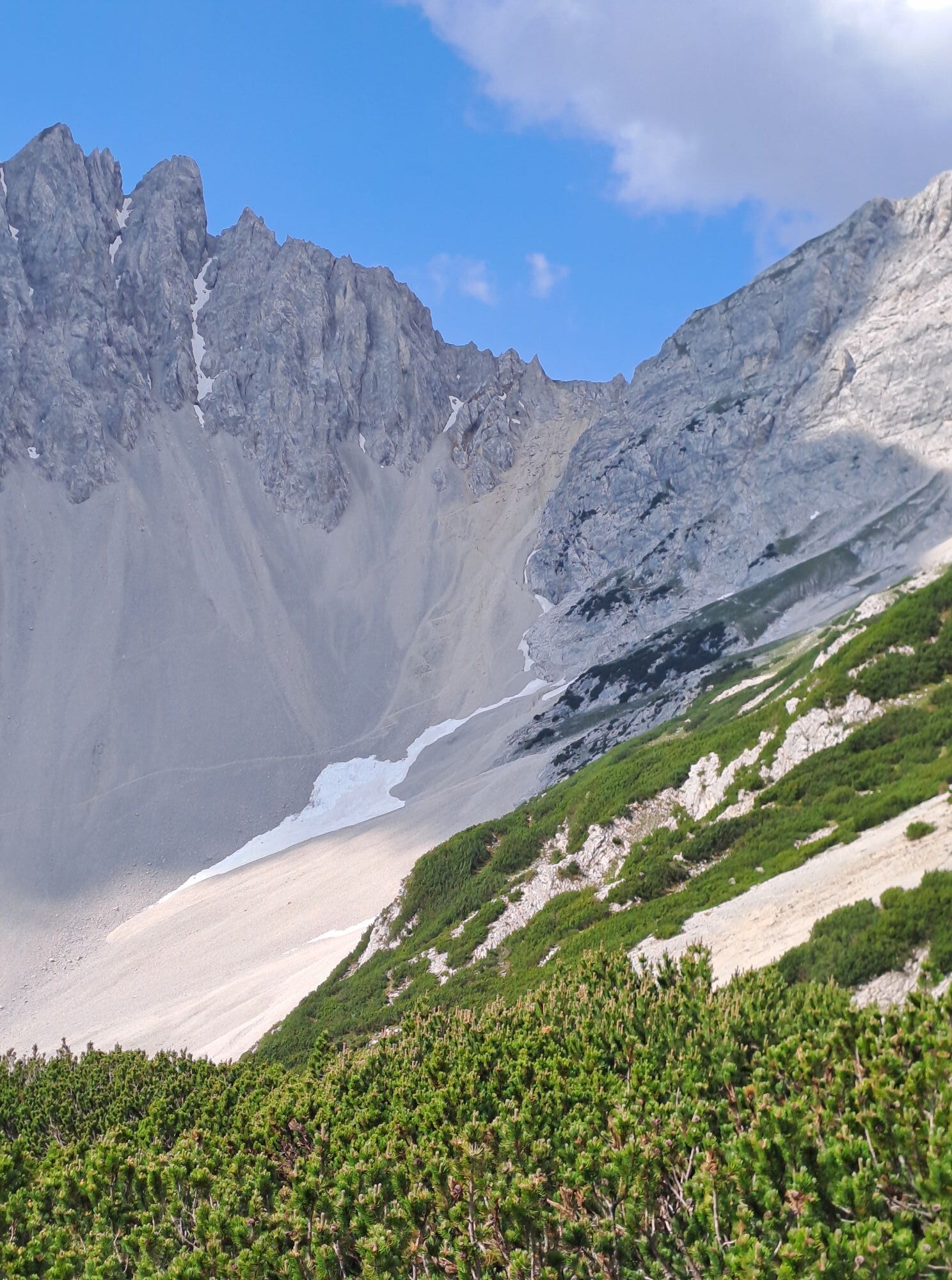
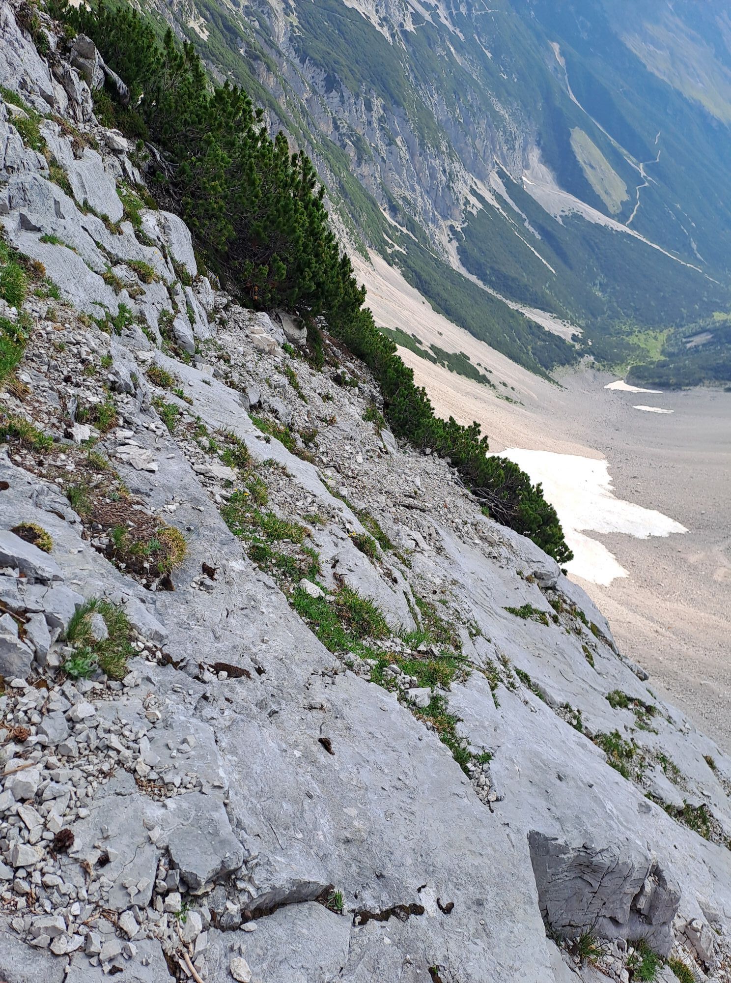
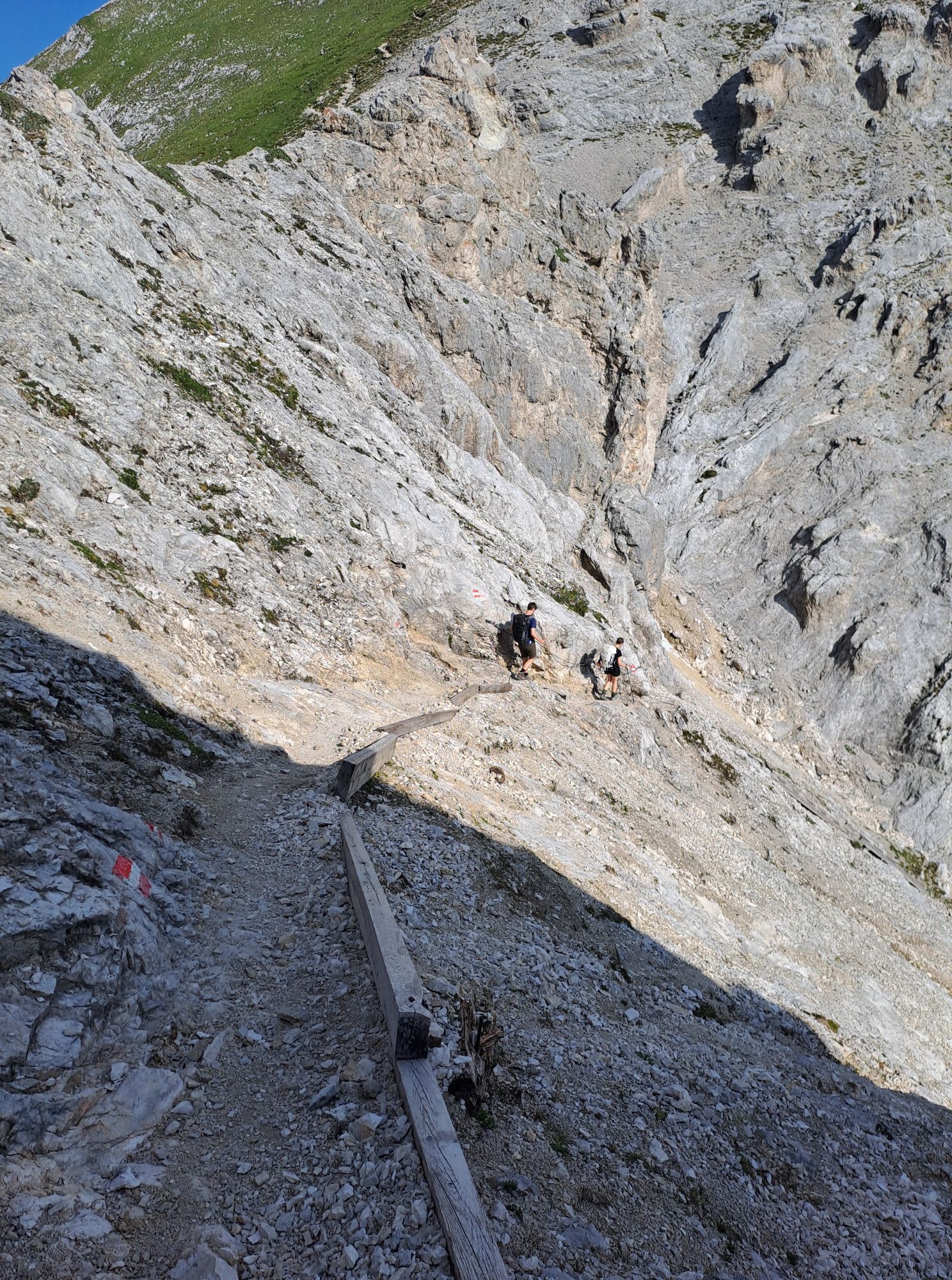
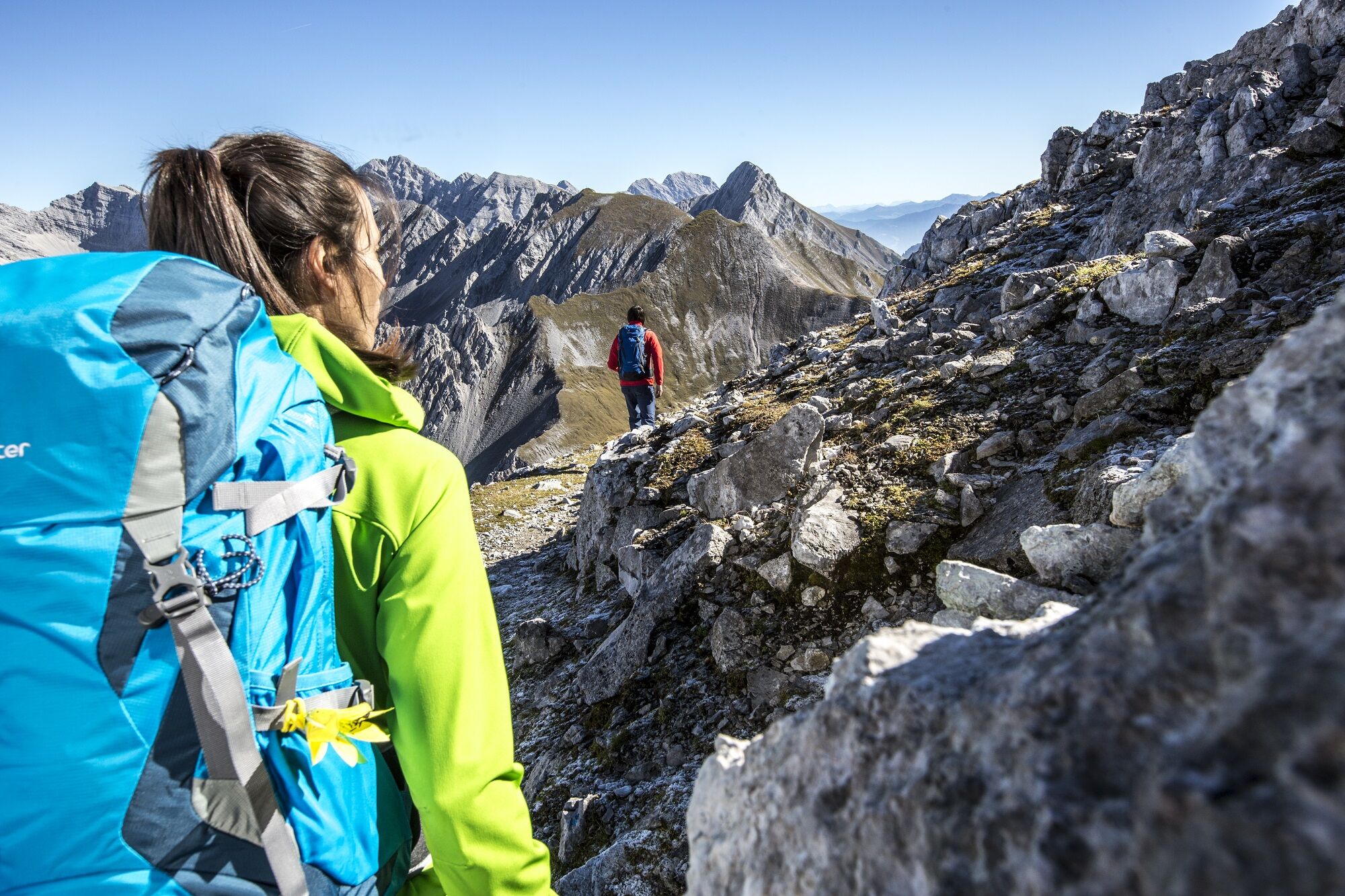
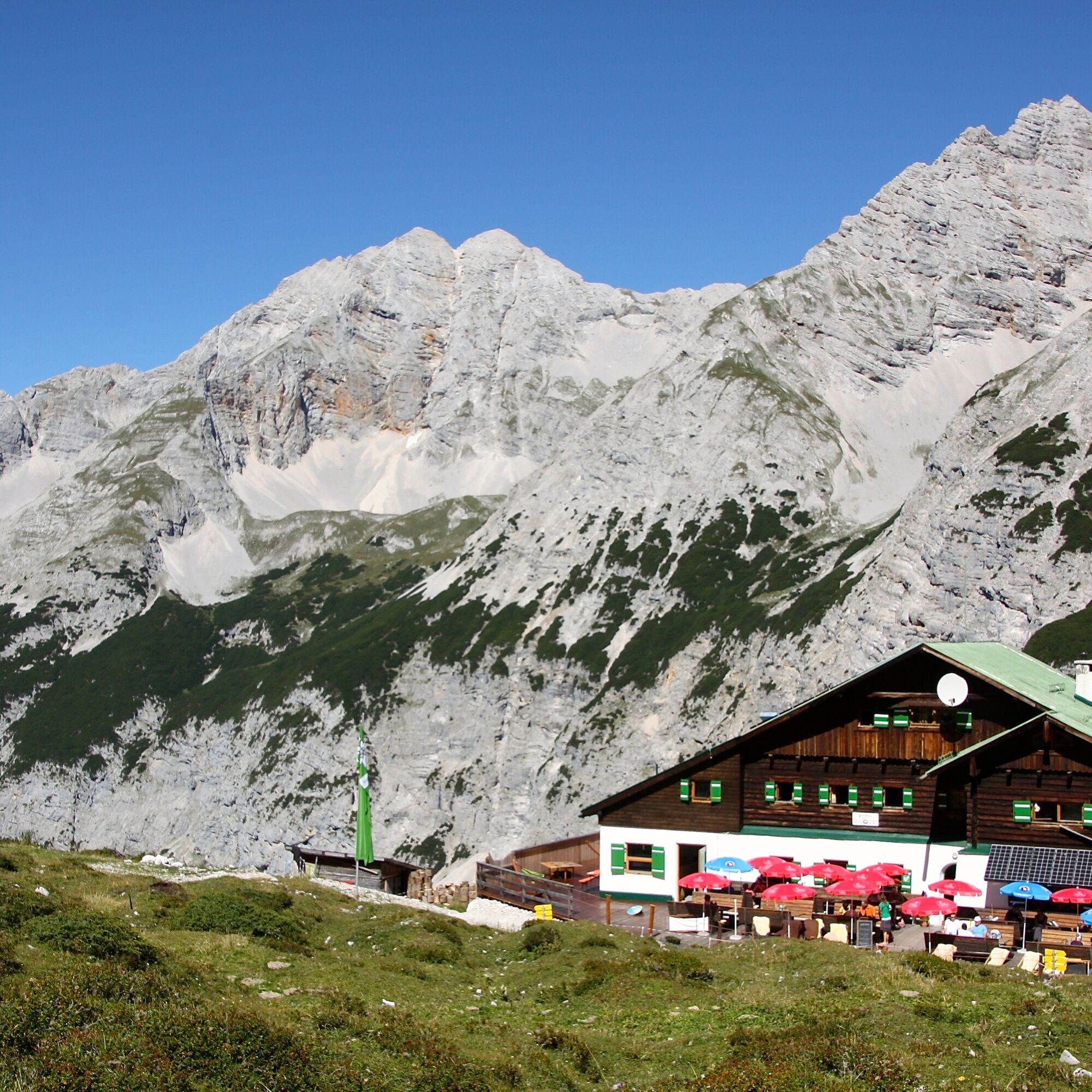
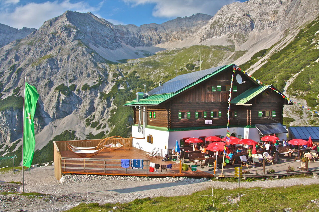
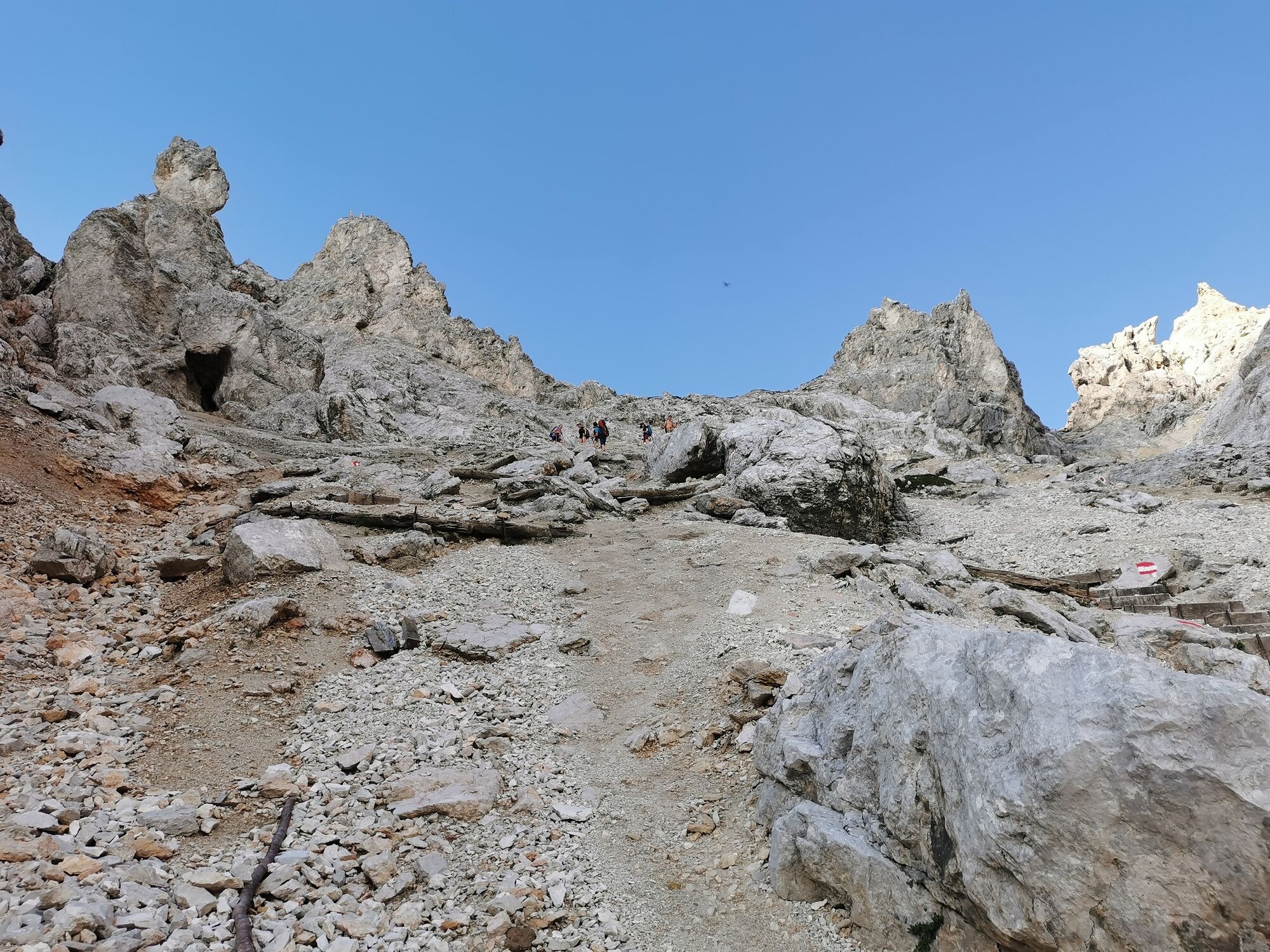
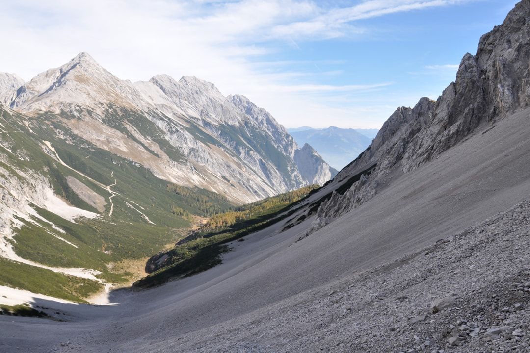
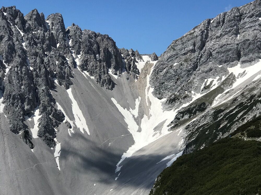
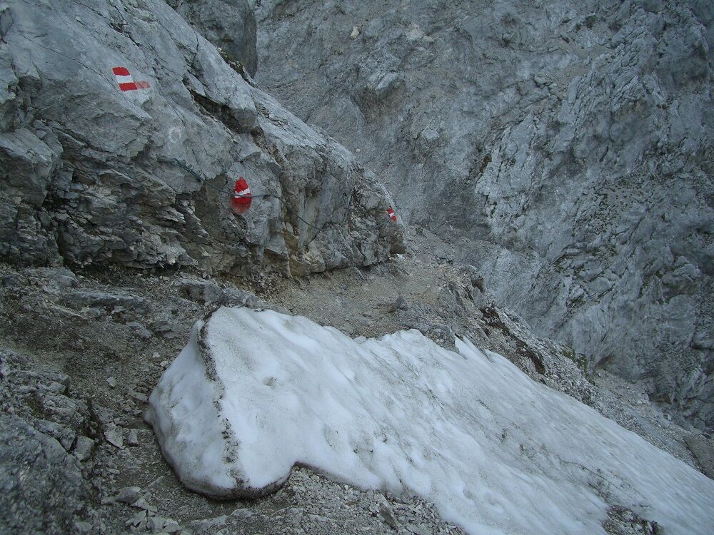
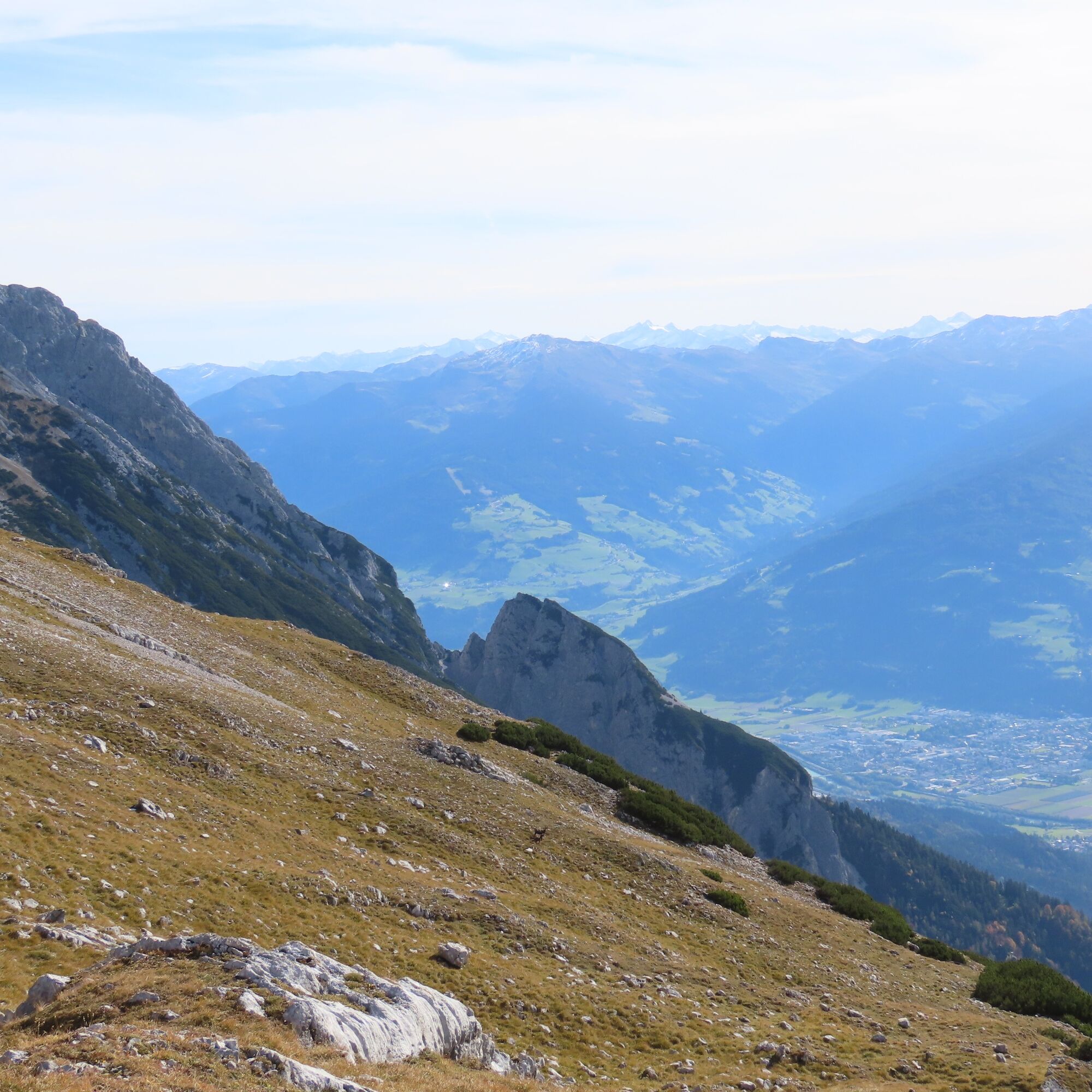
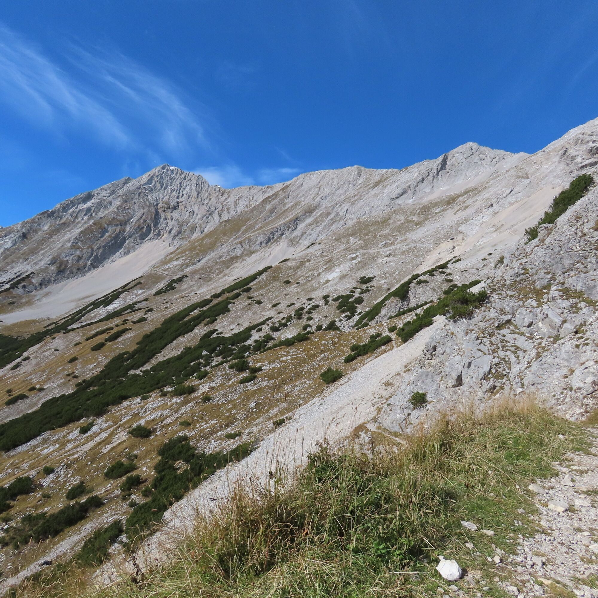
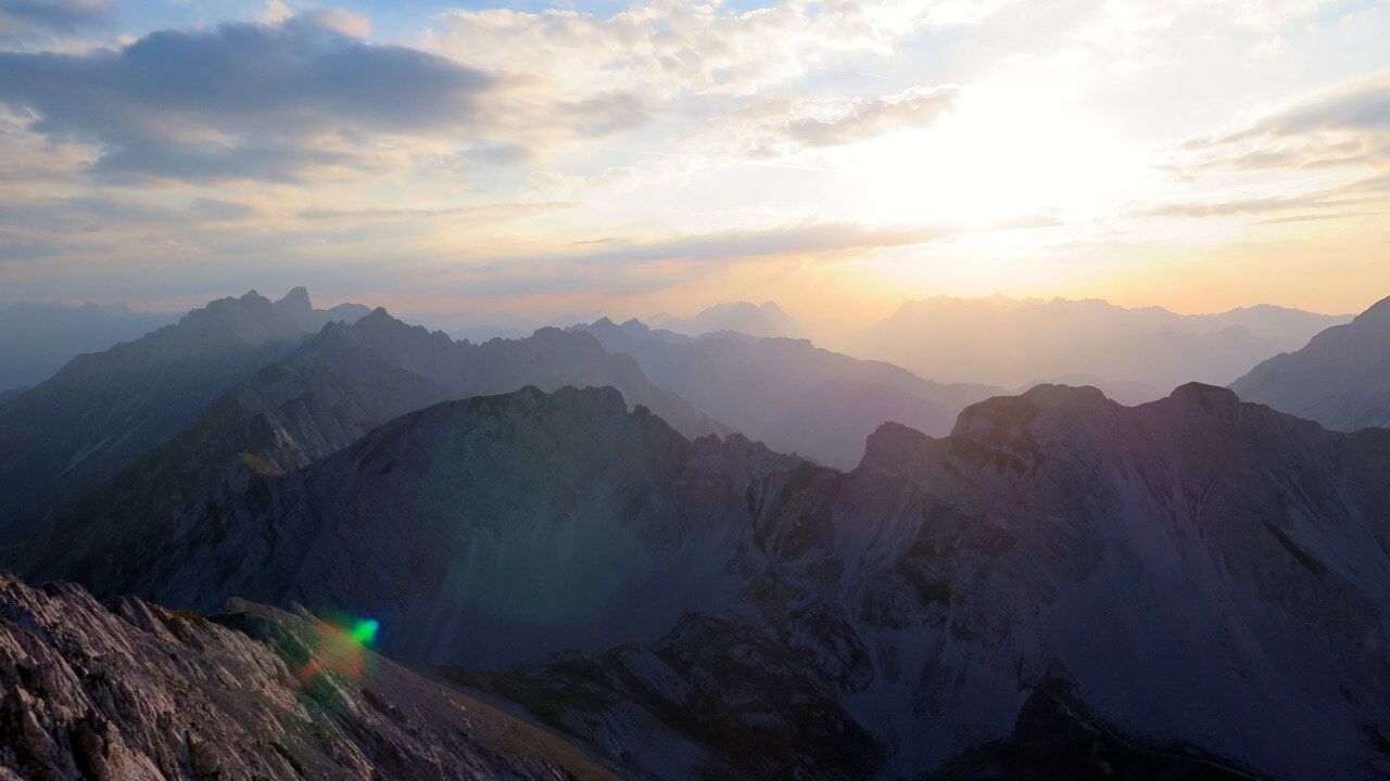
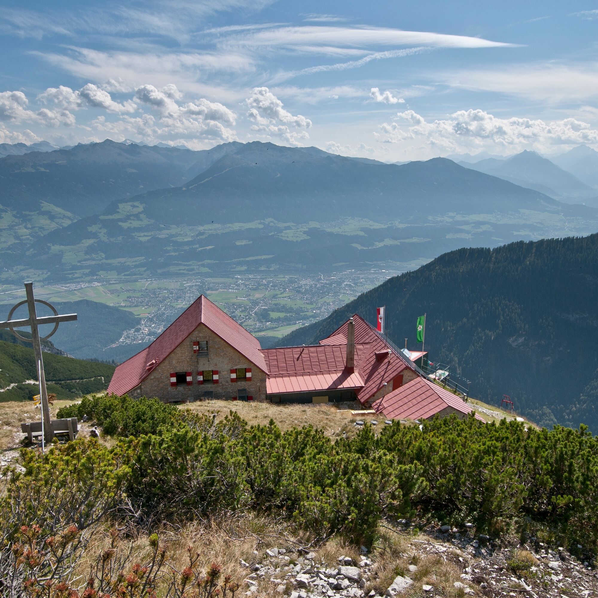
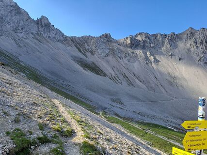
After about 140 meters of descent, you turn left onto the Wilde Bande trail. This section also frequently has old snowfields. Initially, it leads roughly parallel to the altitude contours under the east and south slopes of the Stempeljochspitzen, the Roßkopf, and the Large and Small Lafatscher with slight ups and downs towards the Lafatscher Joch. Before the Lafatscher Joch (2081 m), you ascend about another 80 meters. From here, trail 222 (= Via Alpina) ascends gently eastwards through the Kleine and Große Speckkar. The last meters to the Bettelwurfhütte are covered while enjoying the extensive views into the Hall valley and the Inn valley.
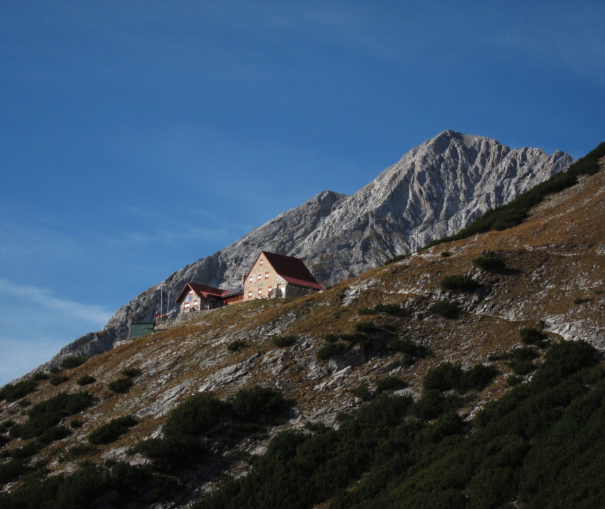
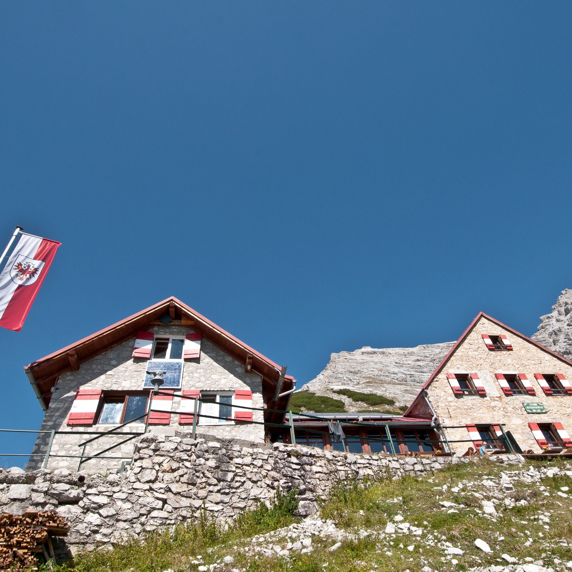
The hut perches like an eagle's nest on the southern slope of the Kleiner Bettelwurf.
Tak
ankle-high mountain boots, crampons, telescopic poles, sufficient water
Alternative ascent: At the transition from the Stempeljochreise to the Wilde Bande trail, large snowfields often remain well into the summer. To avoid these snowfields, it is possible to alternatively descend further eastwards from the Stempeljochreise until reaching the so-called Issanger (1626 m). From the signpost, the path then leads northwards up to the Lafatscher Joch.
After crossing the Stempeljoch, you follow the Wilde Bande trail. This was constructed in 1929 by the Innsbruck mountaineering society Wilde Bande in close cooperation with the salt miners and leads up to the Lafatscher Joch. Every year on October 20, the members of the group climbed over the Hungerburg and the Arzler Scharte up to the Stempeljoch to celebrate the anniversary of their founding in 1878.
Peaks along the stage:
Kreuzjöchl (2158 m); ascent: +1 h (red mountain trail)
Stempeljochspitze (2529 m); ascent: +2 h (red mountain trail)
Pfeiserspitz (2347 m); ascent: +1.5 h (black mountain trail)


Popularne wycieczki w okolicy
- 4,6
Hinterriss - Eng - Falkenhütte
średniWędrówka 6,88 km - 4,7
Felix-Kuen via ferrata on the Hundskopf
ciężkiVia ferrata 2,18 km - 4,8
Seegrube - Hungerburg
średniWędrówka 5,04 km - 4,8
Torscharte
średniWędrówka 13,8 km - 5,0
Wanderung zum Isarursprung und Kastenalm
światłoWędrówka 14,0 km - 4,6
Patscherkofl
średniWędrówka 18,5 km - 4,5
Sonnjoch
średniWędrówka 11,2 km - 4,9
Gleirschklamm
średniWędrówka 15,4 km - 4,6
To the scenic Hochmahdkopf
średniWędrówka 8,31 km - 3,9
To the alpine inn St. Magdalena in the Halltal
średniWędrówka 7,24 km
Wędrówki i tropienie


Nie przegap ofert i inspiracji na następne wakacje
Twój adres e-mail została dodana do listy mailingowej.