






Peter Sagan Trail No. 141
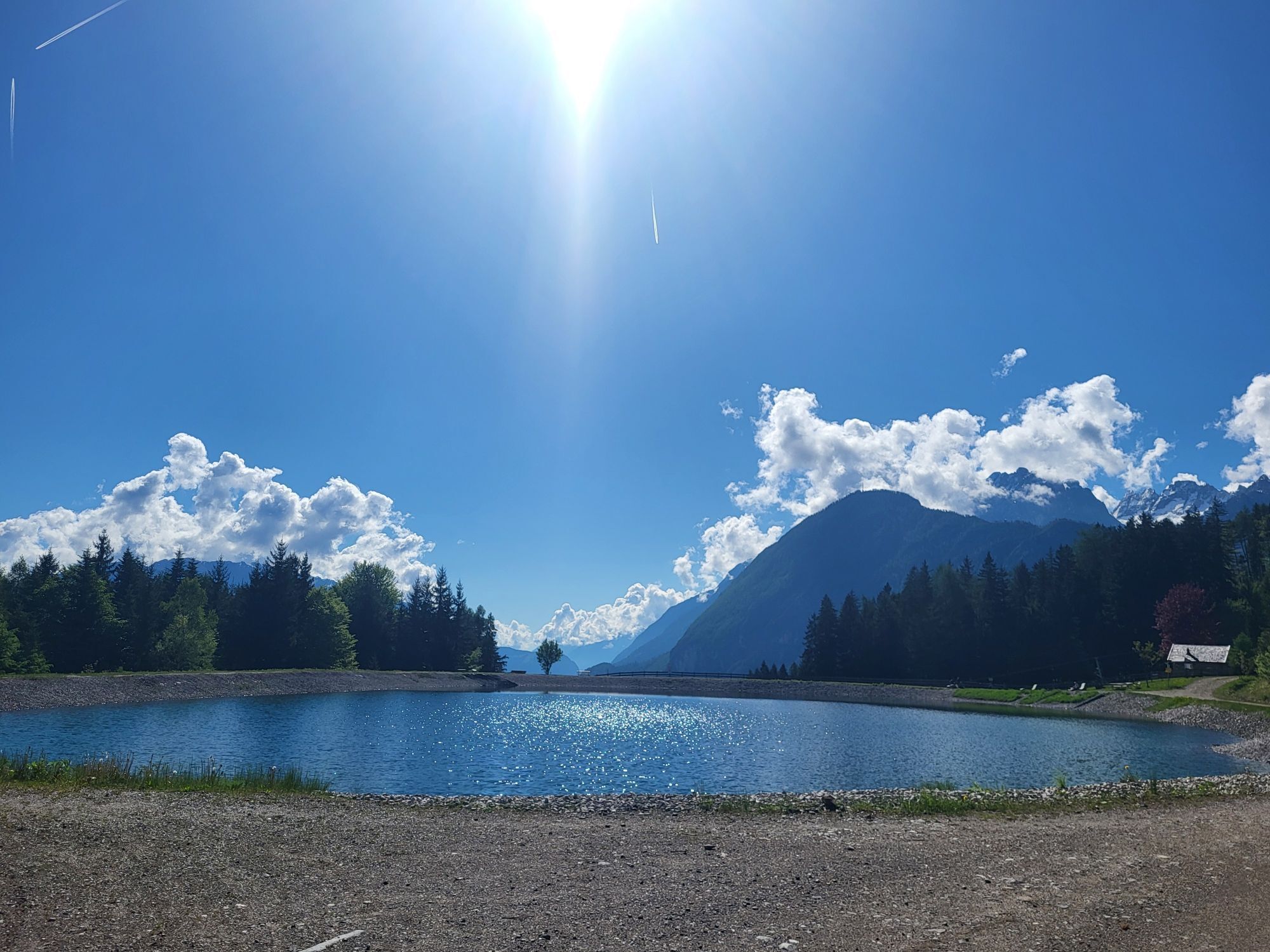
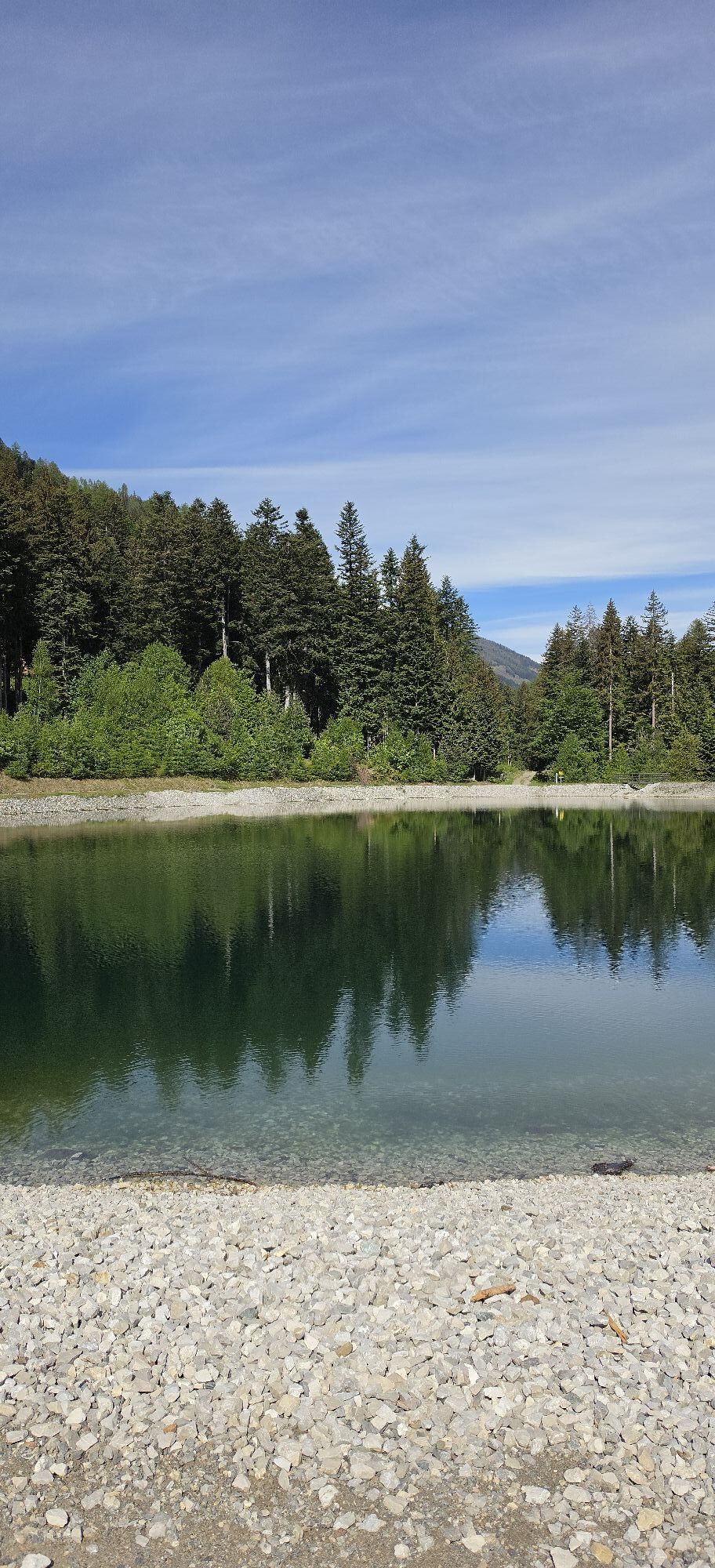
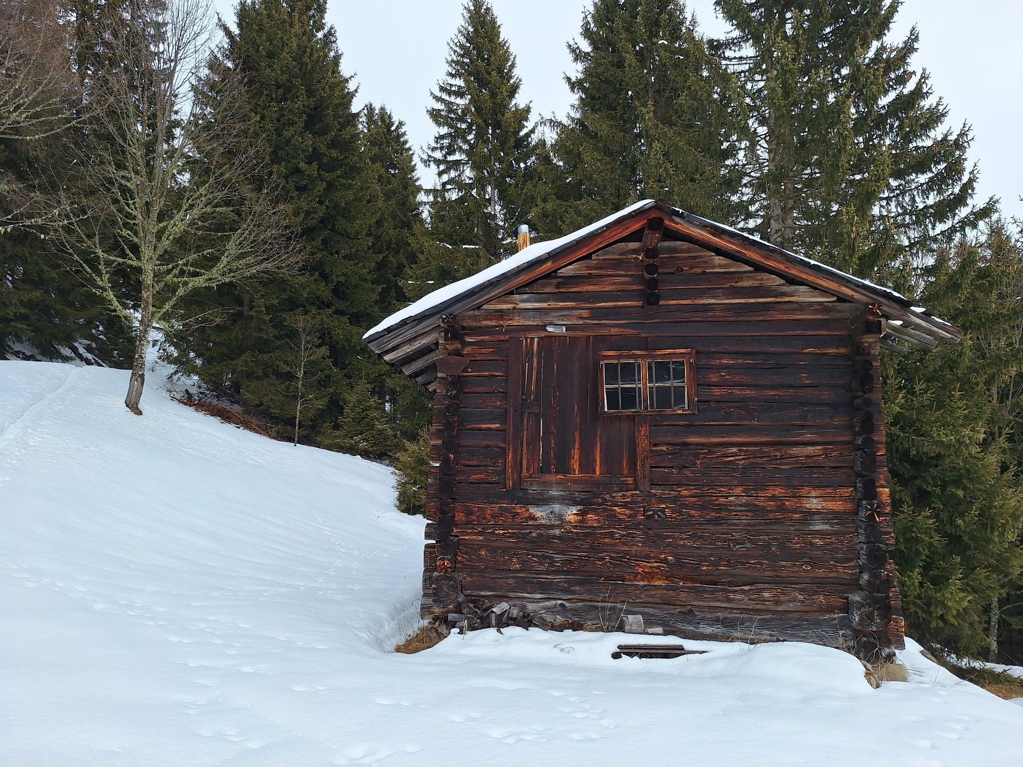

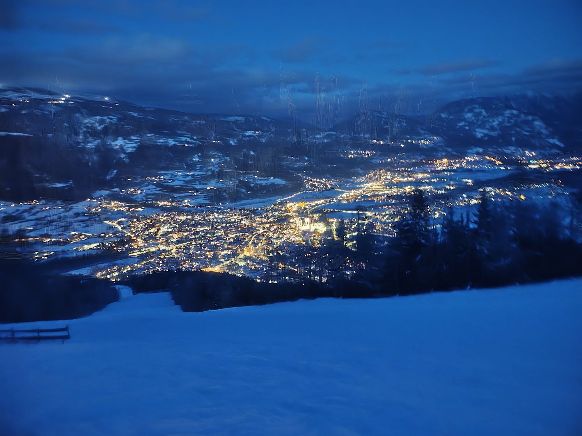
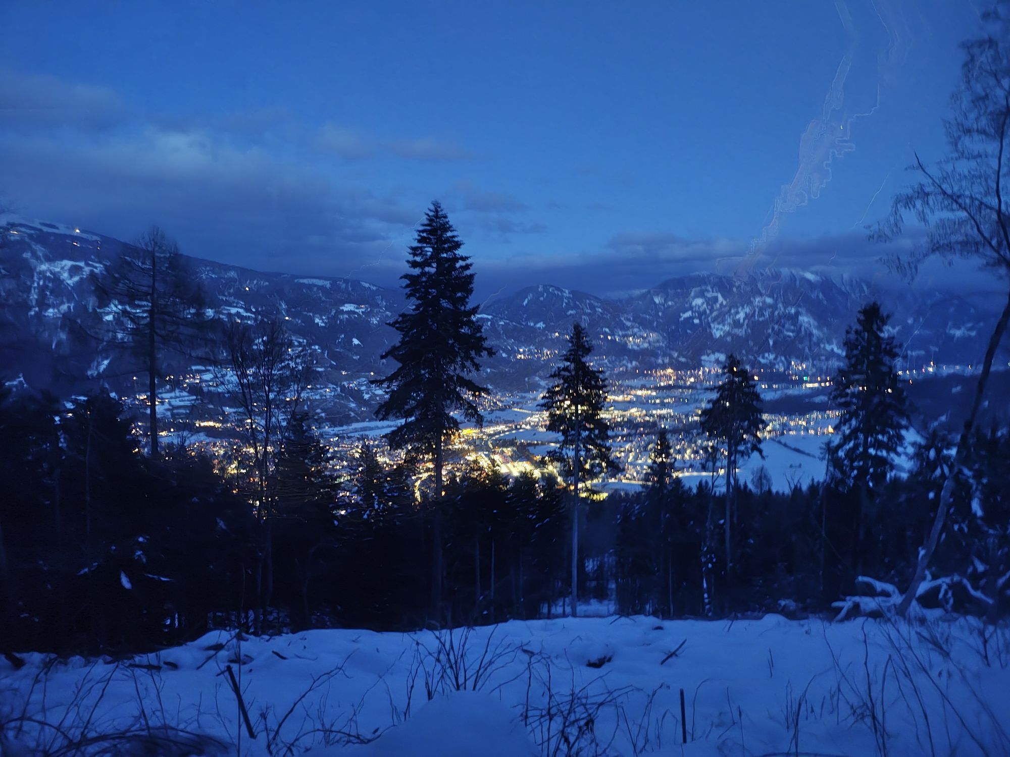
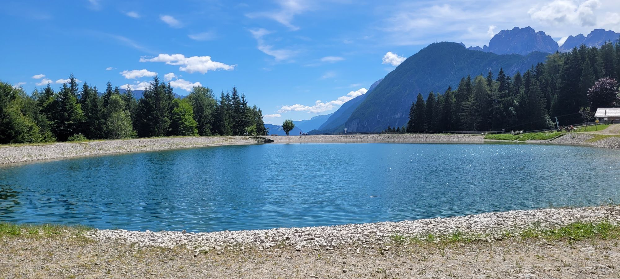

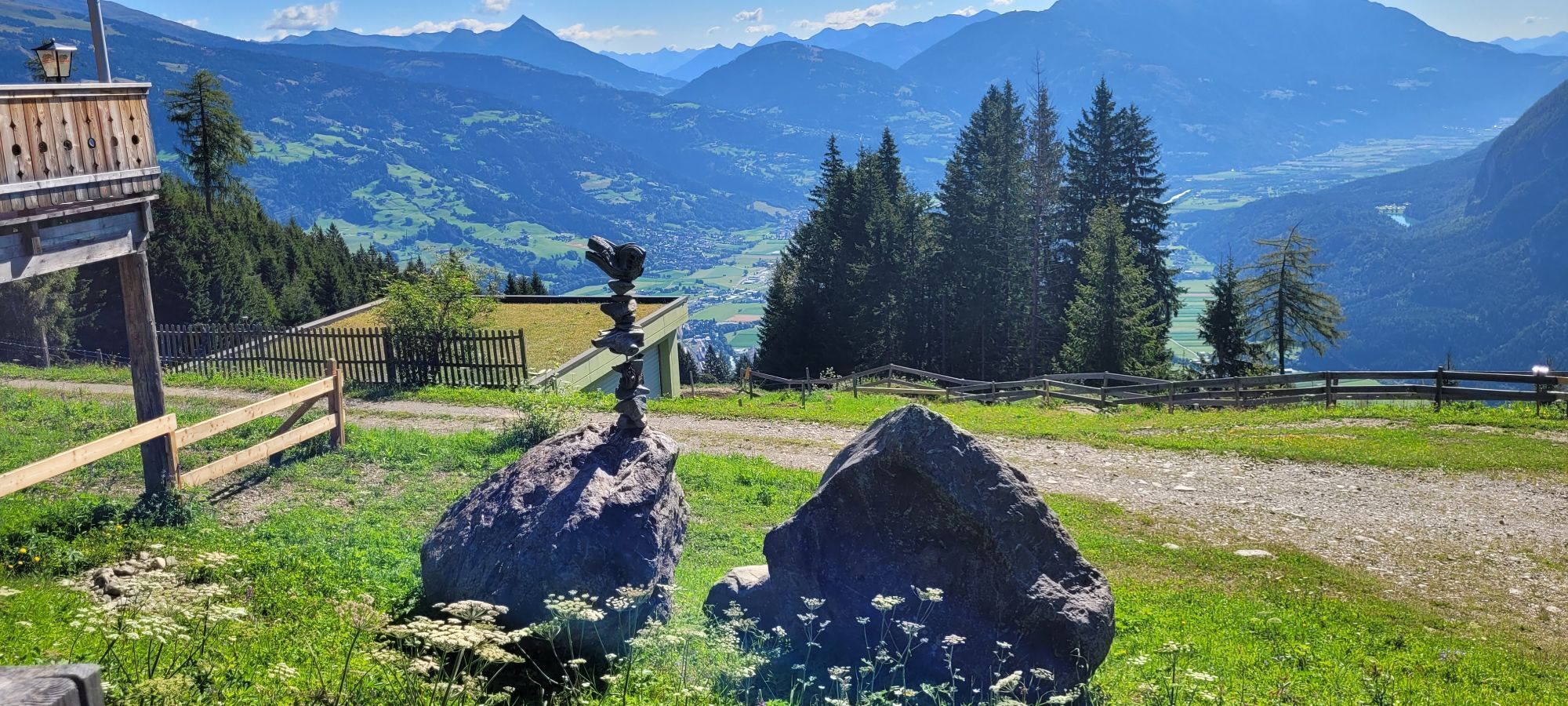
The new Peter Sagan Trail is the perfect addition to the existing Alban Lakata Trail. Both trails together add up to an impressive length of around 7.1 kilometres, making it a challenge for any experienced...
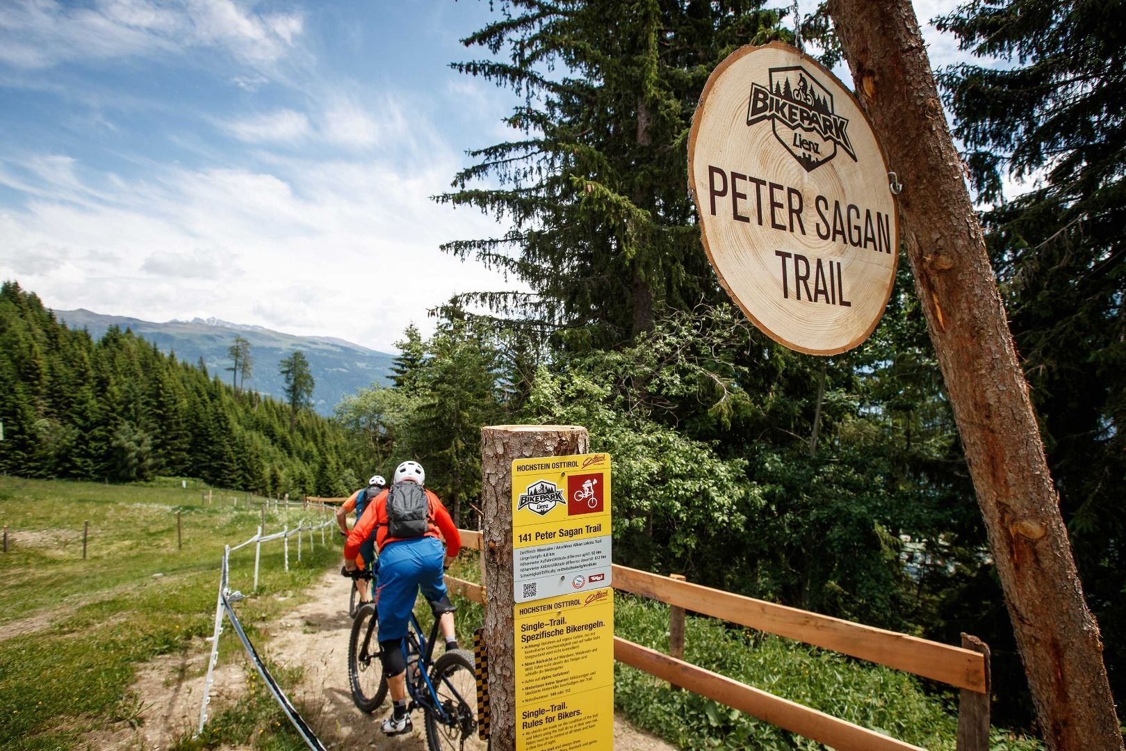
The new Peter Sagan Trail is the perfect addition to the existing Alban Lakata Trail. Both trails together add up to an impressive length of around 7.1 kilometres, making it a challenge for any experienced biker. Flow and lots of airtime describe the new trail excellently, and not to forget the stunning and priceless panorama. Where else can you ride your bike over a perfectly shaped 7 kilometres long trail directly into the city!? 55 steep turns, 18 rollers, numerous gaps, step ups, and a mega-panorama boner jump make every biker's heart beat faster and motivated to repeat the ride.

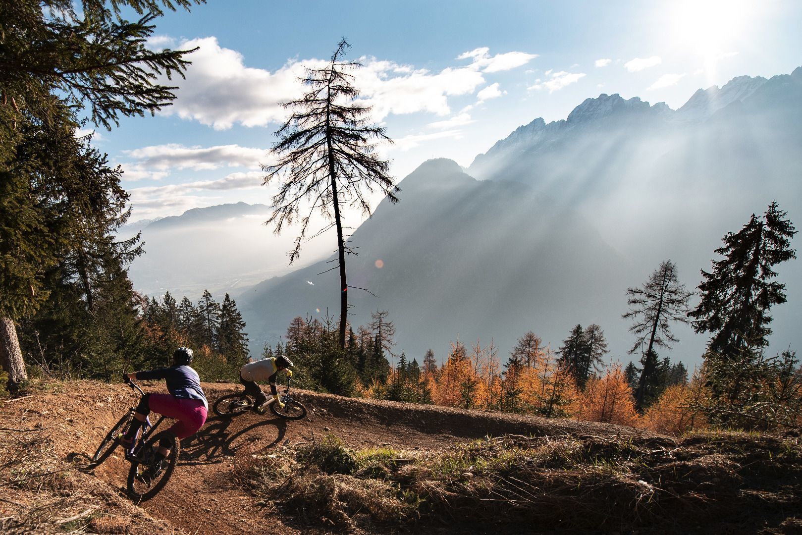
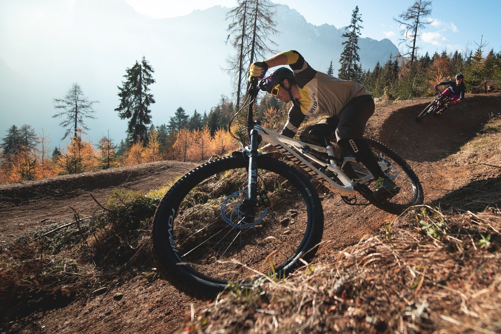

By car in the direction of Iseltal, the Schlossbergbahn is on the left-hand side.
Take the bus to the bus stop "Lienz Hochstein/Schloss Bruck" and then the gondola to the Moosalm and then on to the Sternalm.
Car park Schlossbergbahn valley station
Uzyskaj wgląd Zawsze na żywo z ponad 9 500 kamer internetowych. bergfex Jako użytkownik Pro, możesz teraz zobaczyć odpowiednie kamery internetowe dla wielu wycieczek w aplikacji wycieczki od. Pozwala to na bezpośredni podgląd aktualnych warunków. Popularne wycieczki w okolicy
- 5,0
Ederplan round from the parking lot Stronach
średniWędrówka 7,19 km - 4,9
Wangennitzsee Hütte
średniWędrówka 3,80 km - 4,7
Karlsbader Hütte über Rudl-Eller-Weg
ciężkiWędrówka 5,10 km - 4,8
Lienzer Dolomiten-Lasertörl
średniWędrówka 13,2 km - 4,7
Glödis 3206m: PP Seichenbrunn, Lienzer Hütte, Glödis KS A/B
ciężkiWycieczka wysokogórska 16,1 km - 3,9
Karlsbader Hütte - Lienzer Dolomiten
Wędrówka 8 km - 4,2
Straßkopf
średniWędrówka 4,06 km - 3,9
Summit hike to the Hochstadel
średniWędrówka 7,83 km - 4,3
Connyalm (2.070 m)
Wędrówka 6,36 km - 4,8
Hike to the Wangenitzsee Hut
średniWędrówka 13,9 km
Wędrówki i tropienie


Nie przegap ofert i inspiracji na następne wakacje
Twój adres e-mail została dodana do listy mailingowej.





