







Circular route - K2 - "Off to the 'Nose' and a fantastic view"
Poziom trudności: T1
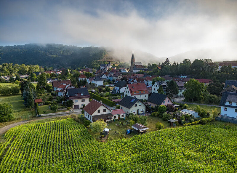
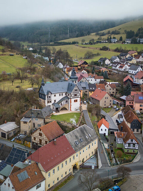
Experience an idyllic circular hike from Kaulsdorf that takes you through the picturesque Breternitz and Fischersdorf. Enjoy the view from the starting point of the paragliders along the way and take a...
Experience an idyllic circular hike from Kaulsdorf that takes you through the picturesque Breternitz and Fischersdorf. Enjoy the view from the starting point of the paragliders along the way and take a break at the "Nose" shelter – from here, a stunning panorama of the Saale Valley opens up to you. Afterwards, the path leads you comfortably back to Kaulsdorf.

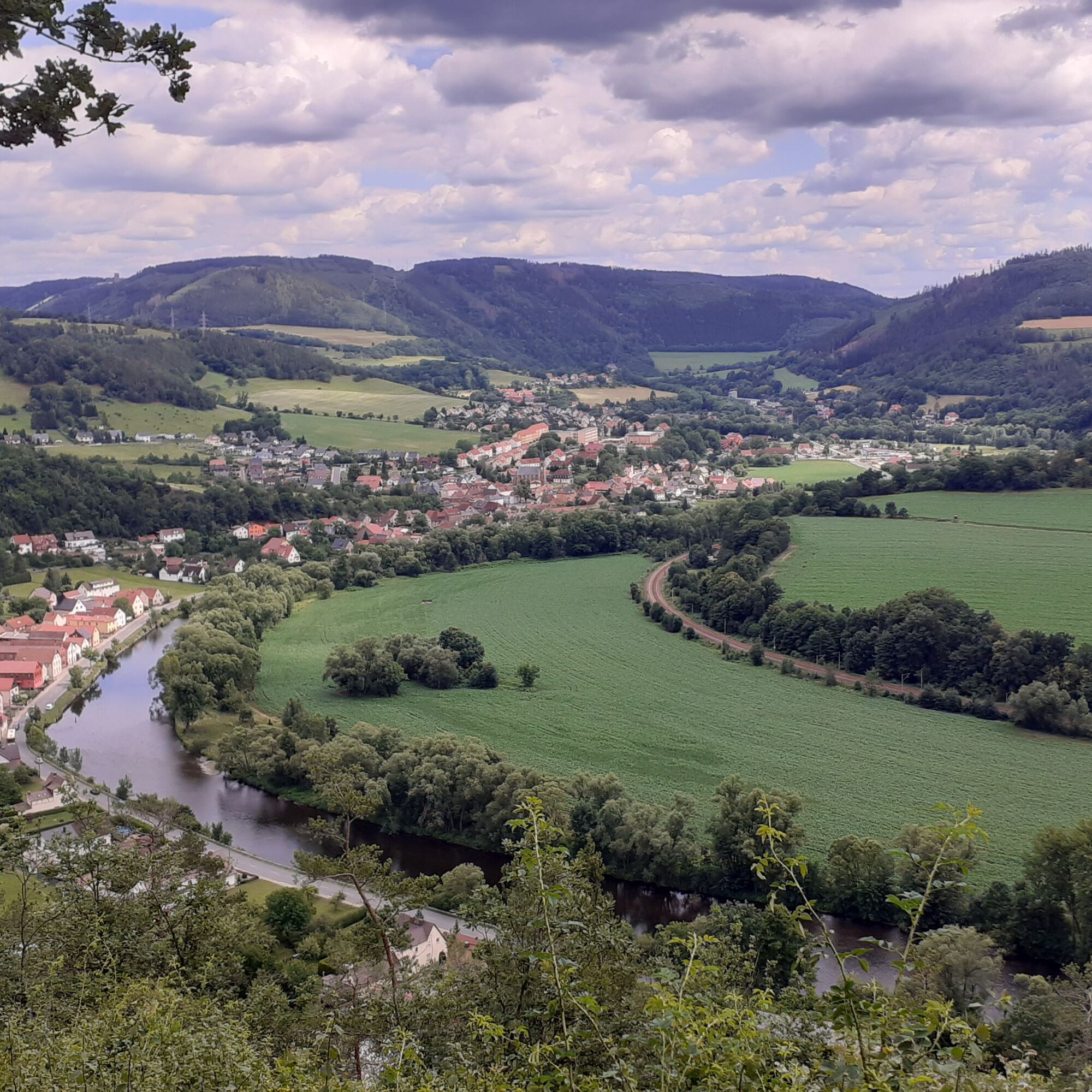
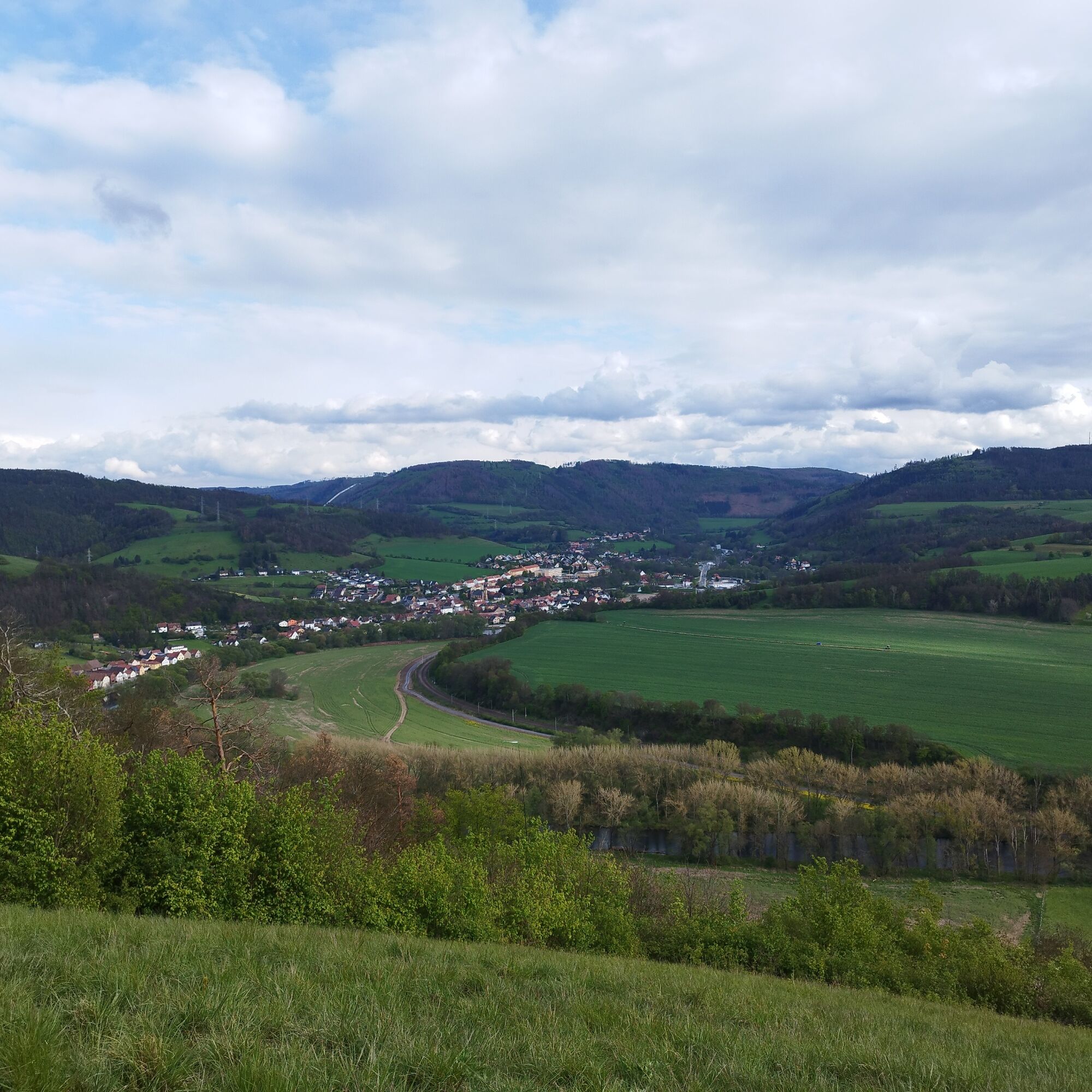
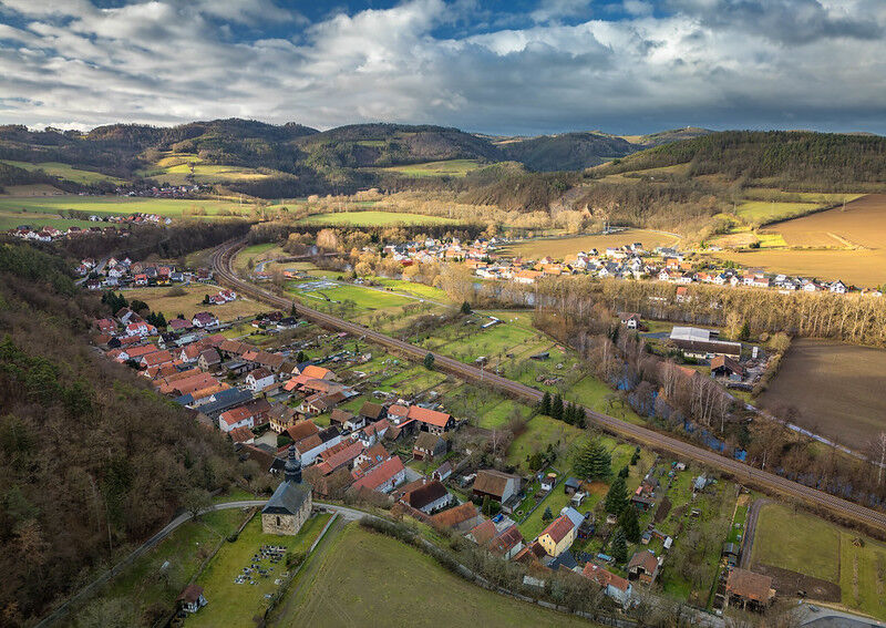
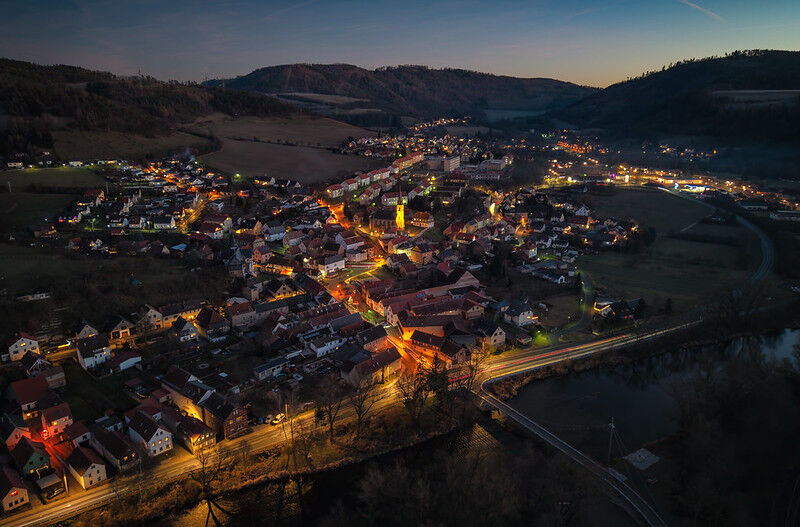
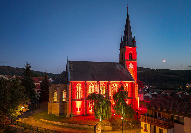
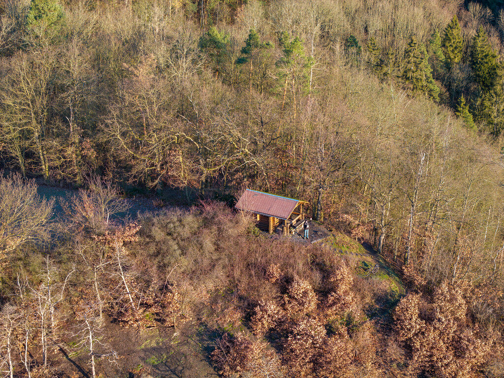
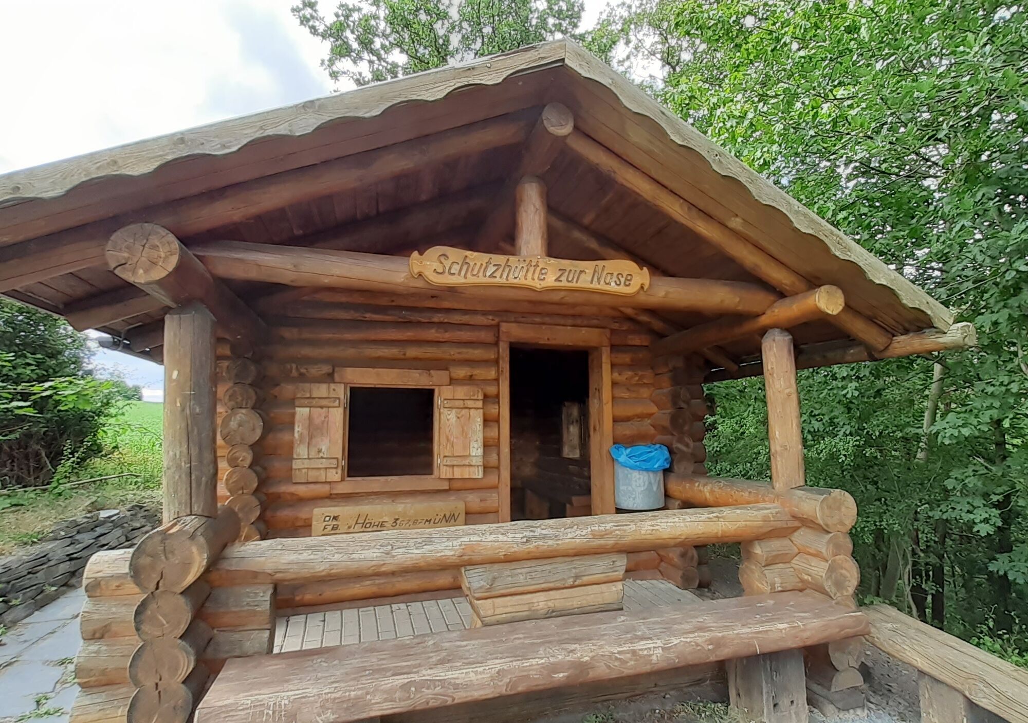
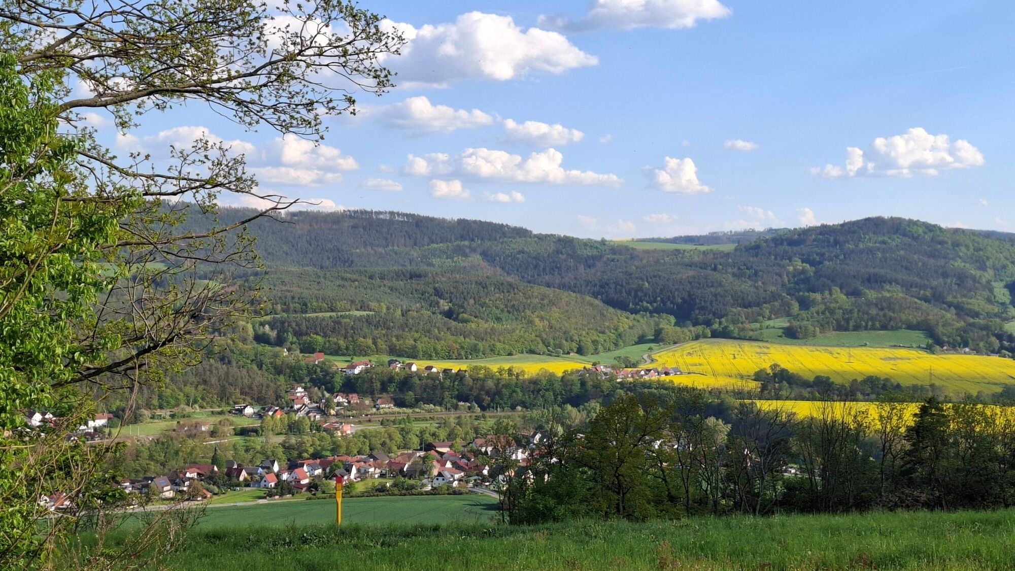

Kaulsdorf - Breternitz - Fischersdorf - Paragliding Site - "Nose" Shelter - Kaulsdorf
sturdy footwear
rain gear
first aid kit
GPS device or smartphone
drink reserve
Kaulsdorf is conveniently located in the Saale Valley and is easily accessible via the B85. From the A9, take the Triptis or Dittersdorf exit and then follow the signs towards Saalfeld or Kaulsdorf. Within the town, the main roads clearly lead to all central destinations.
By train: Kaulsdorf has its own station (Kaulsdorf (Saale)), which is regularly served by regional trains from Saalfeld, Jena, Gera and Leipzig. From the station, many destinations in the village are easily reachable on foot.
By bus: From Saalfeld or Rudolstadt, KomBus line buses drive towards Kaulsdorf. The main transfer points are the Rudolstadt bus station and the KomBus service center Pößneck.
Possible bus lines are 546, 547, and 590 (Thuringian Sea hiking bus).
For KomBus timetables: KomBus Thuringia timetable offer
Google NAV points parking lots:
Parking lot at the roundabout
T1
Viewpoint and "Nose" Shelter
Popularne wycieczki w okolicy
-
4,9
Circular hiking trail - H5 "The Water Route" - Thuringian Forest
średniWędrówka 6,58 km -
4,8
Circular hiking trail - "To the most beautiful viewpoints" - Thuringian Forest
średniWędrówka 12,8 km -
4,5
Circular route - “To the Strudel pots of the Schwarza” - Starting point at the Chrysopras weir - Bad Blankenburg
średniWędrówka 9,01 km -
4,7
Circular hiking route - H3 "The Bird's Eye View" - Thuringian Forest
średniWędrówka 8,78 km -
5,0
Hohenwarte Reservoir Way - Section 2 - Camping Wilhelmsdorf Portenschmiede → Ziegenrück
ciężkiWędrówka 18,2 km -
4,0
Circular route - "Wichtelweg" - Wilhelmsdorf
światłoTrasa tematyczna 2 km -
5,0
Urwaldpfad Leutenberg - Thuringian Urwaldpfade
średniWędrówka 6,82 km -
Circular trail - Saugartenpfad - Hiking start at Chrysopraswehr - Bad Blankenburg
średniWędrówka 8,39 km -
Panoramaweg Schwarzatal - Stage 1 Schwarza to Schwarzburg - Thuringian Forest
ciężkiWędrówka 15,4 km -
4,0
Circular hike - "Round route 3" - start and finish country hotel Edelhof Kolkwitz - Thuringia
średniWędrówka 9,42 km
Wędrówki i tropienie


Nie przegap ofert i inspiracji na następne wakacje
Twój adres e-mail została dodana do listy mailingowej.





