







Hohenwarte Reservoir Way - Section 2 - Camping Wilhelmsdorf Portenschmiede → Ziegenrück
Poziom trudności: T2
Step 2: Wilhelmsdorf to Ziegenrück
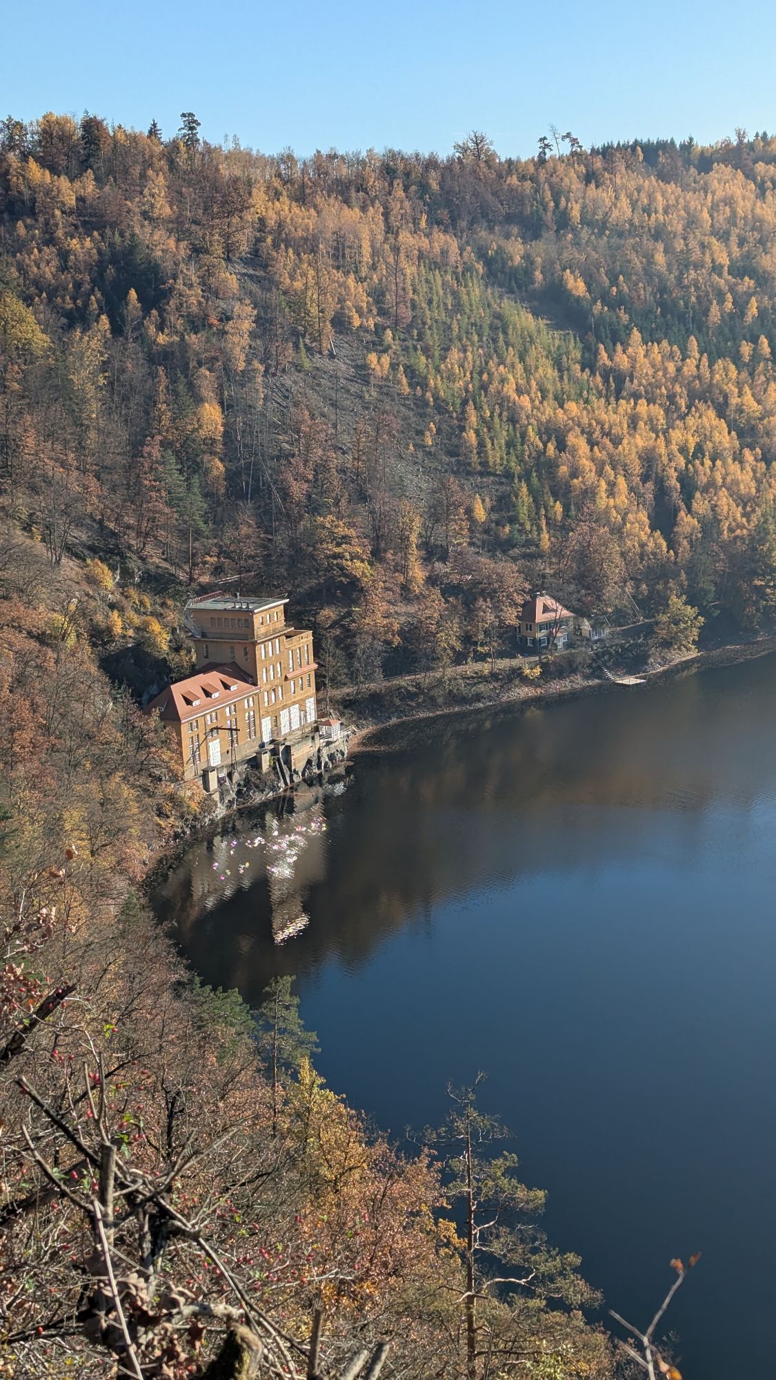
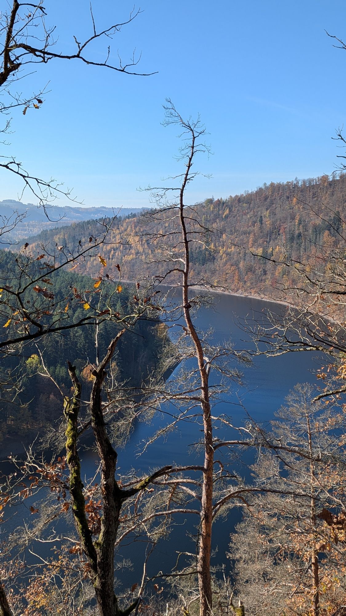
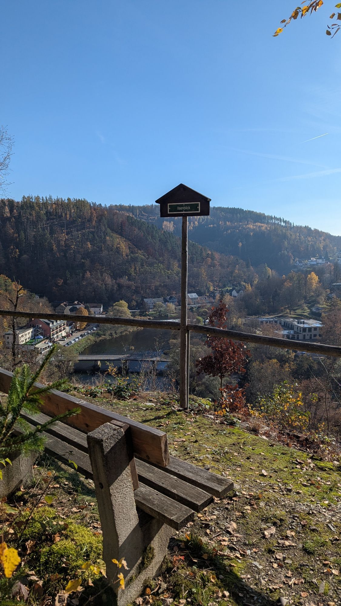
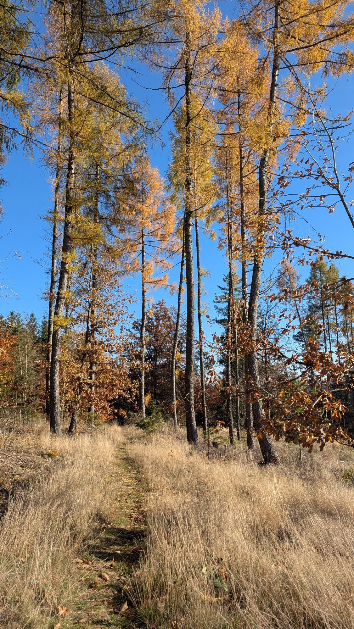
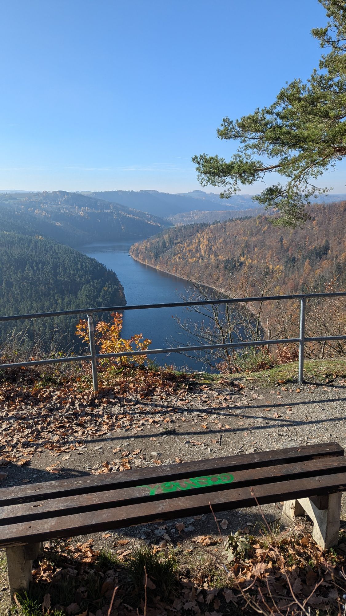
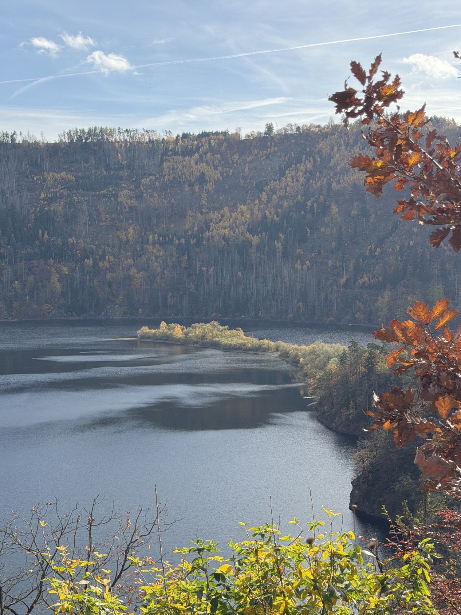
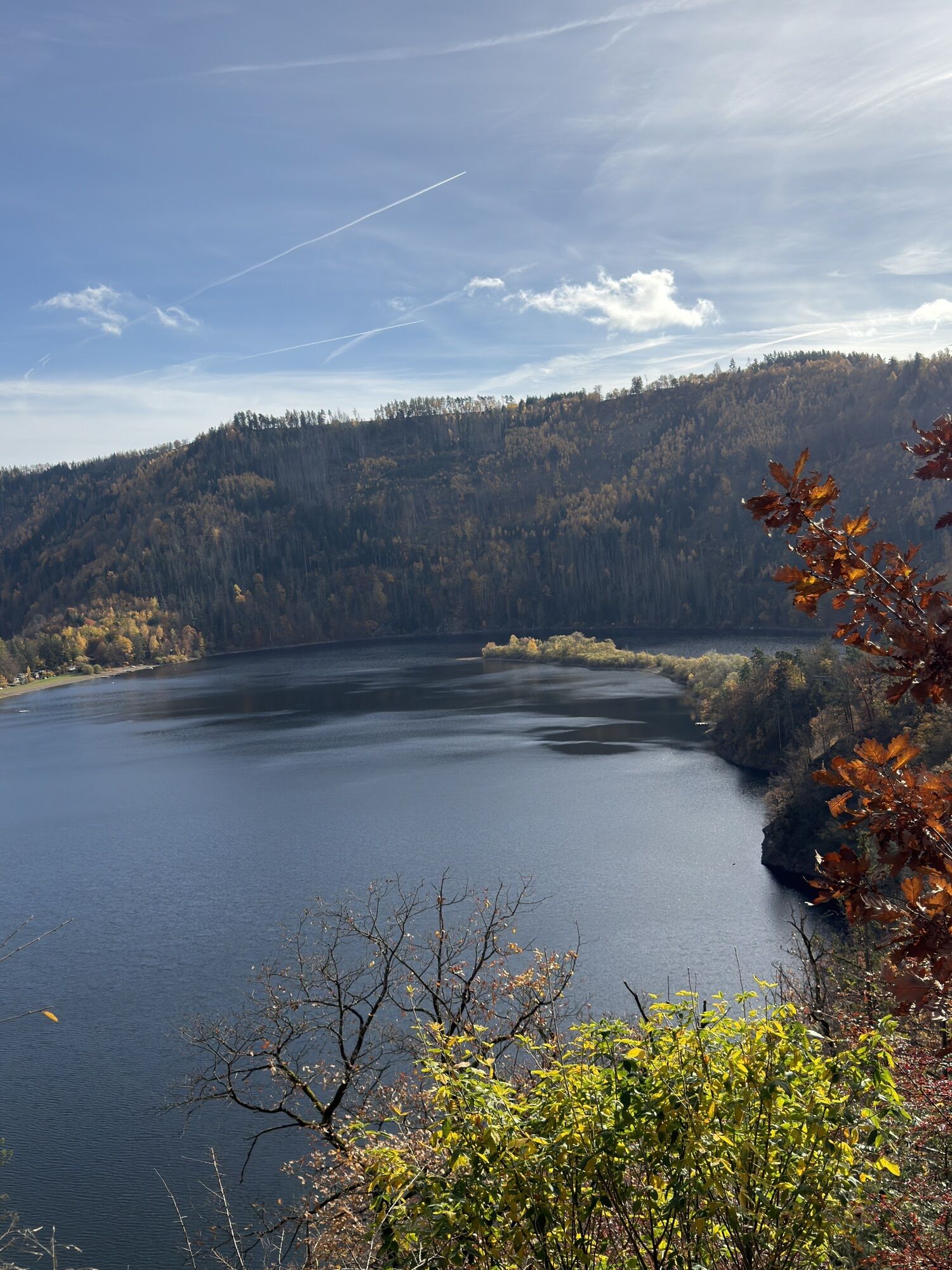
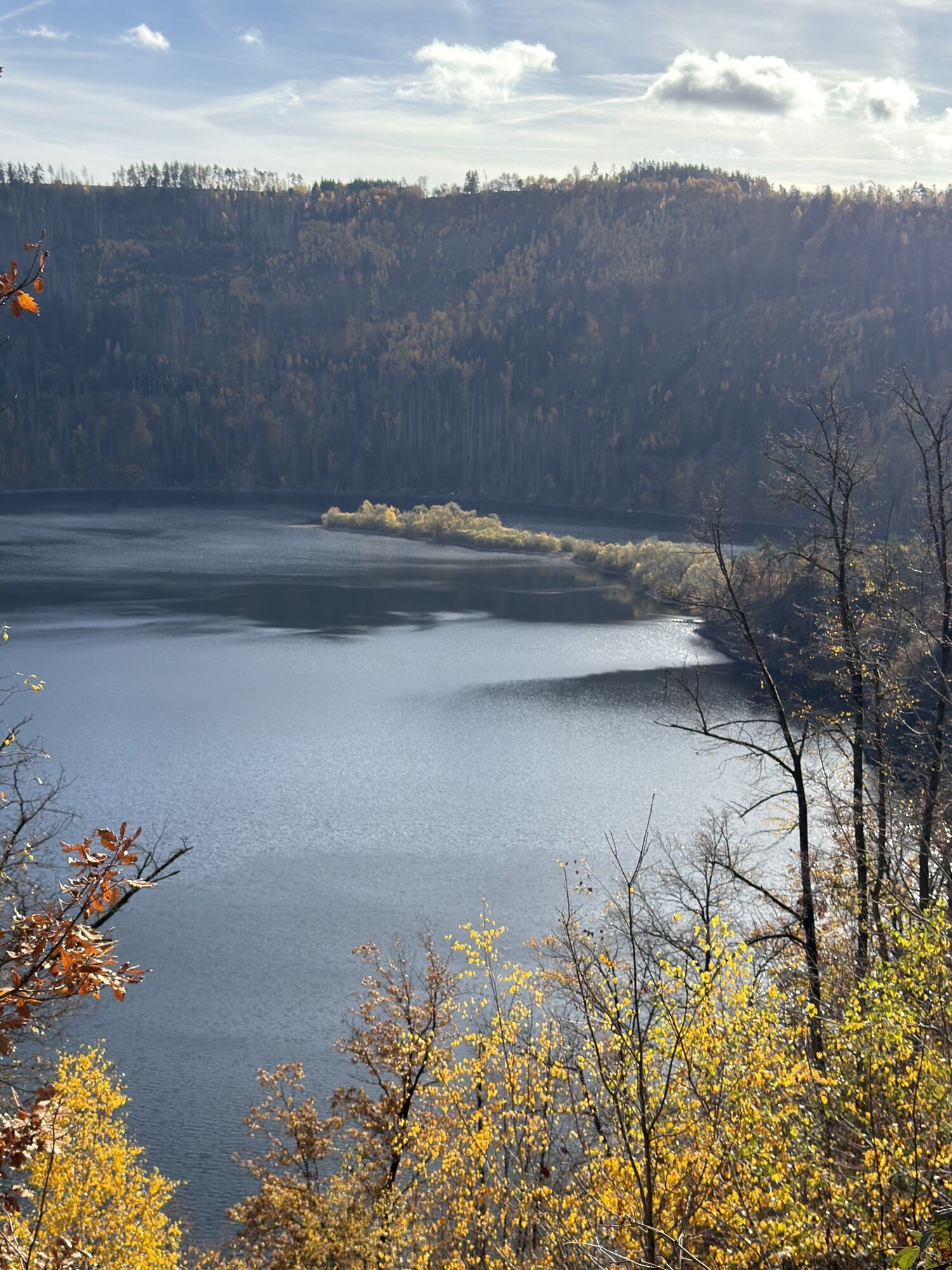
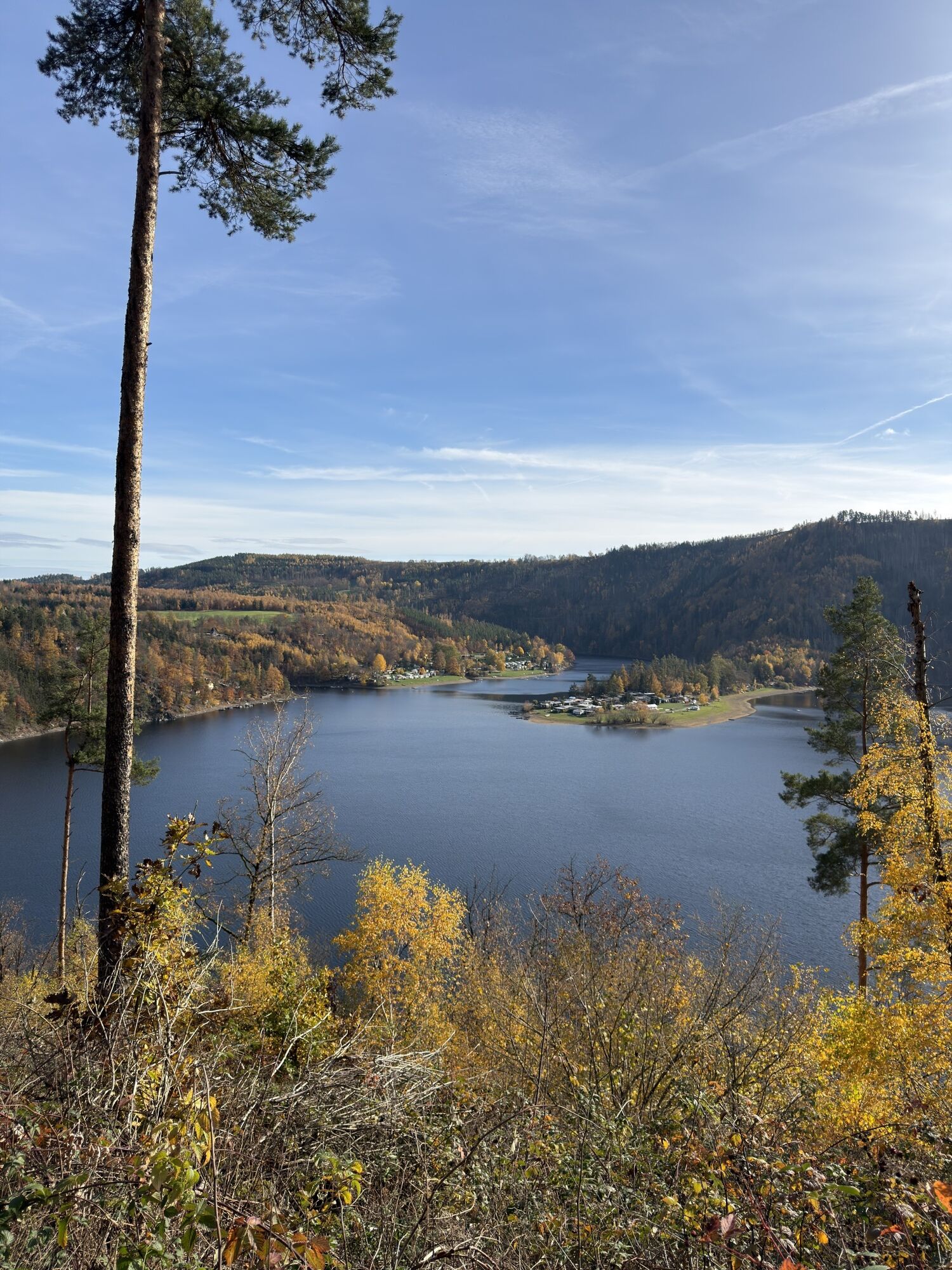
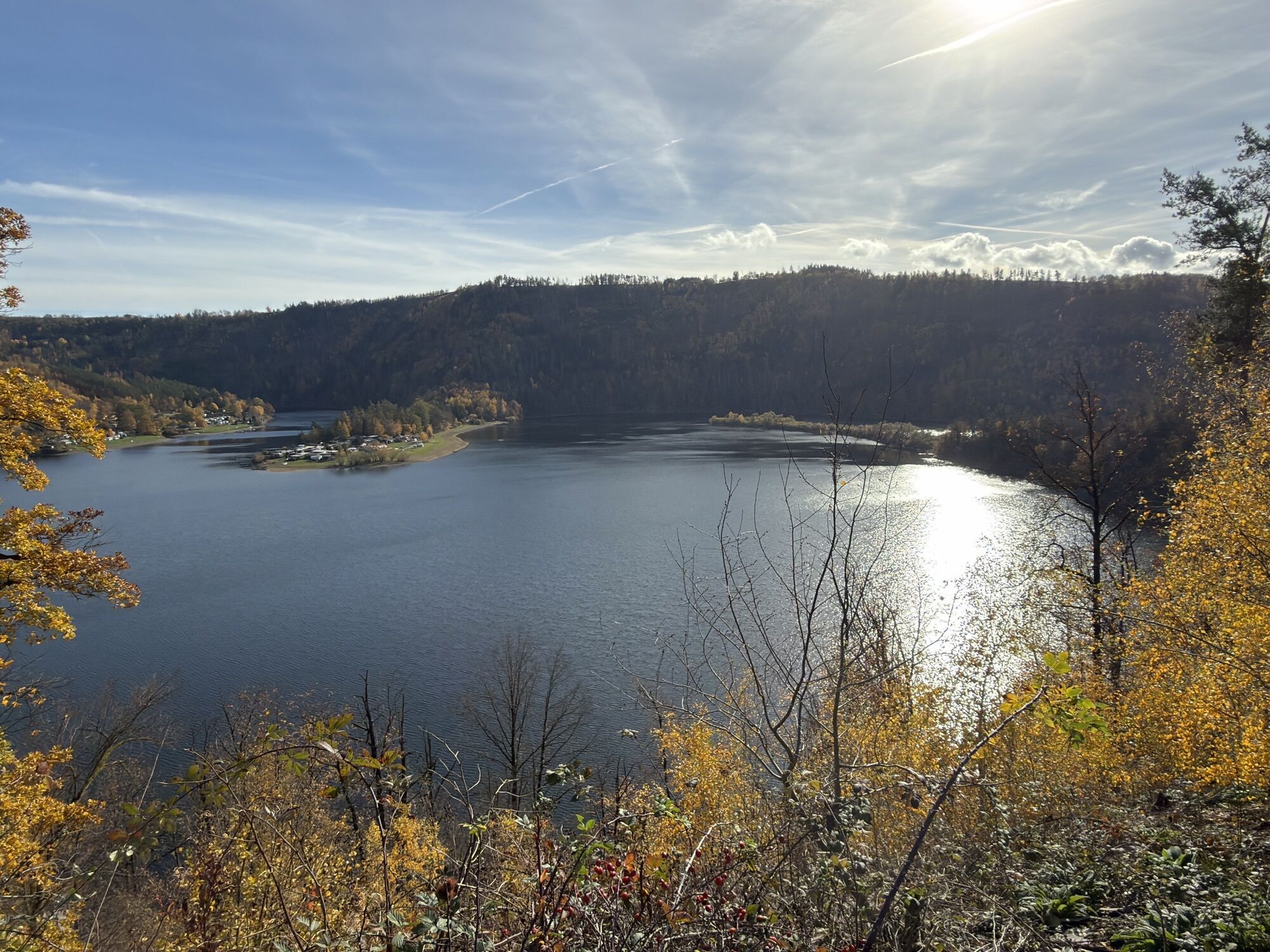
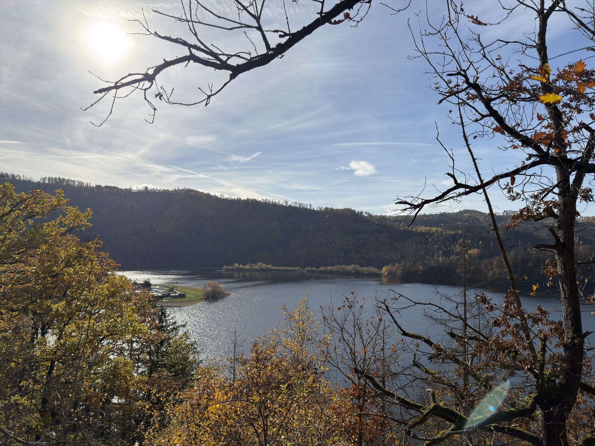
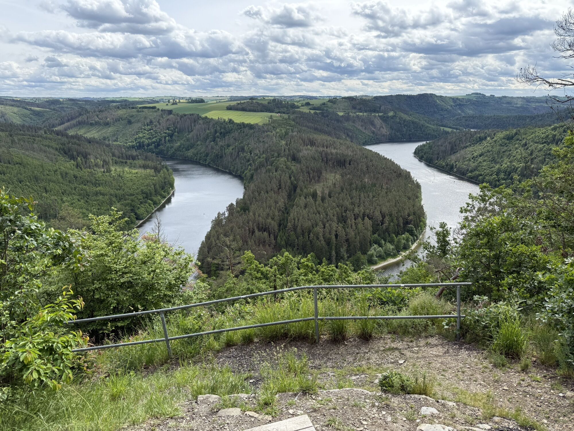
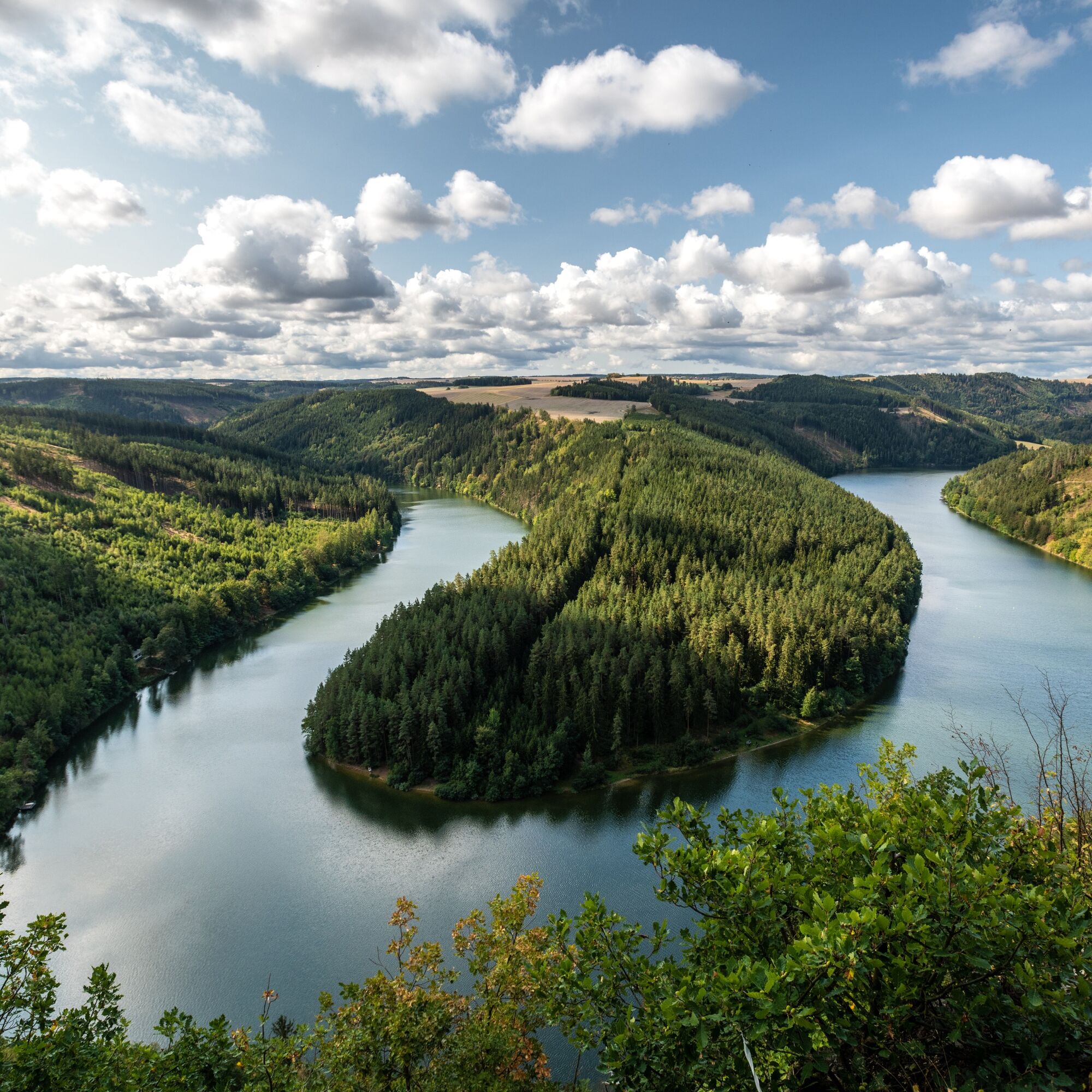
.On the second stage of the Hohenwarte Reservoir Way, you climb quite a few elevation meters and are rewarded with unique views of the winding Saale waterfalls. Along...
Step 2: Wilhelmsdorf to Ziegenrück
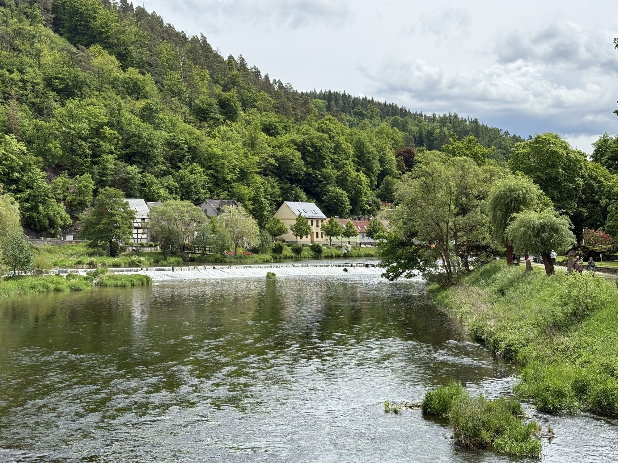
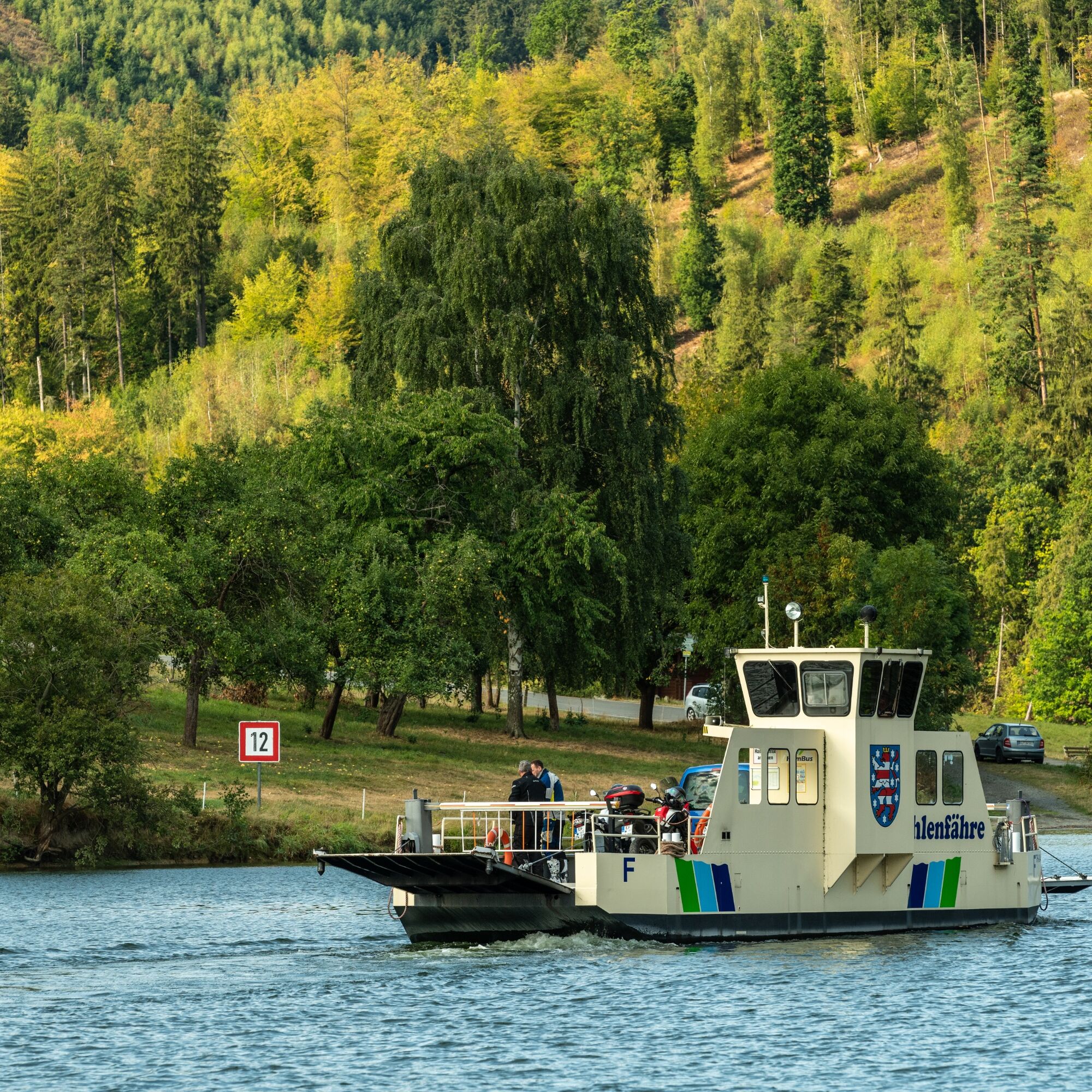
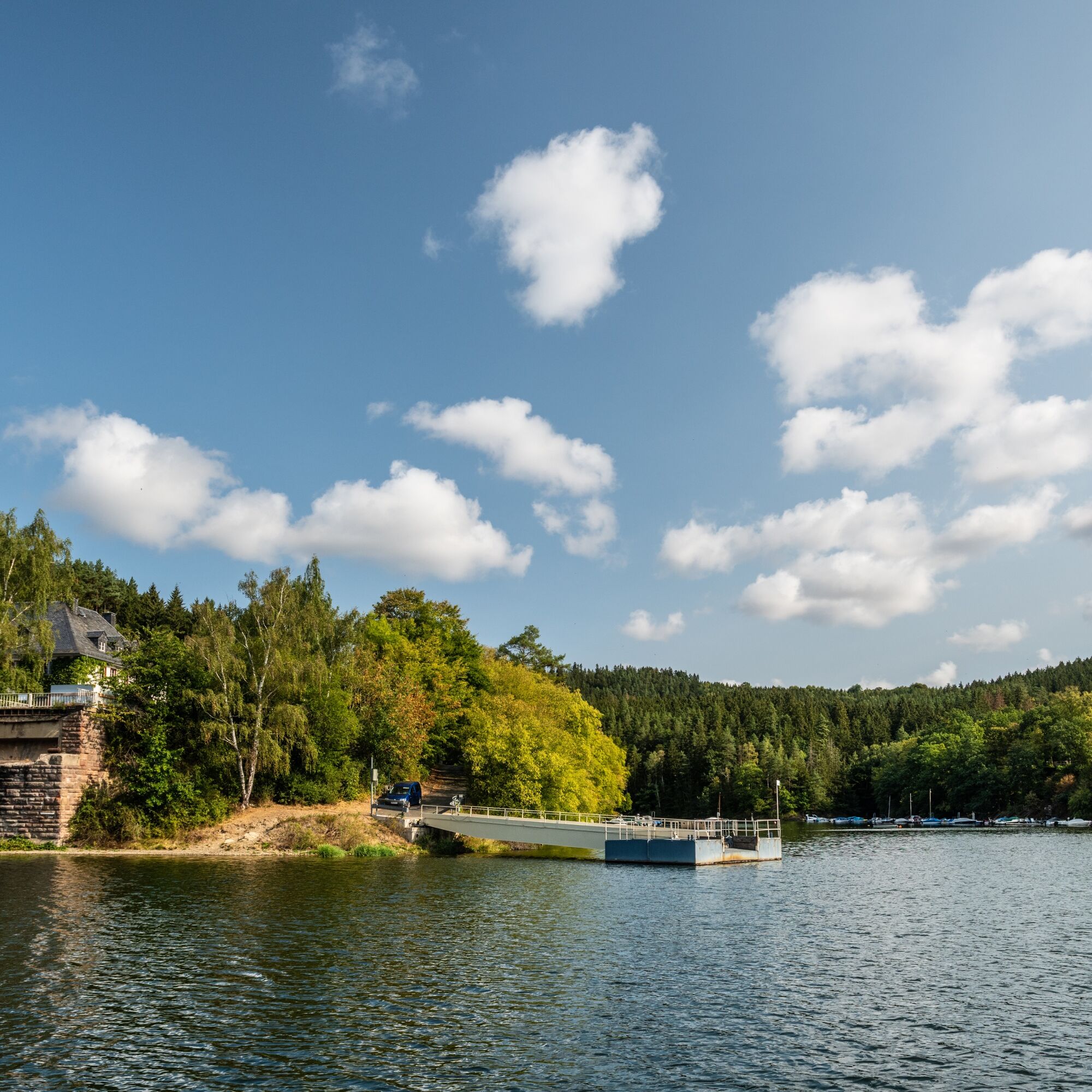
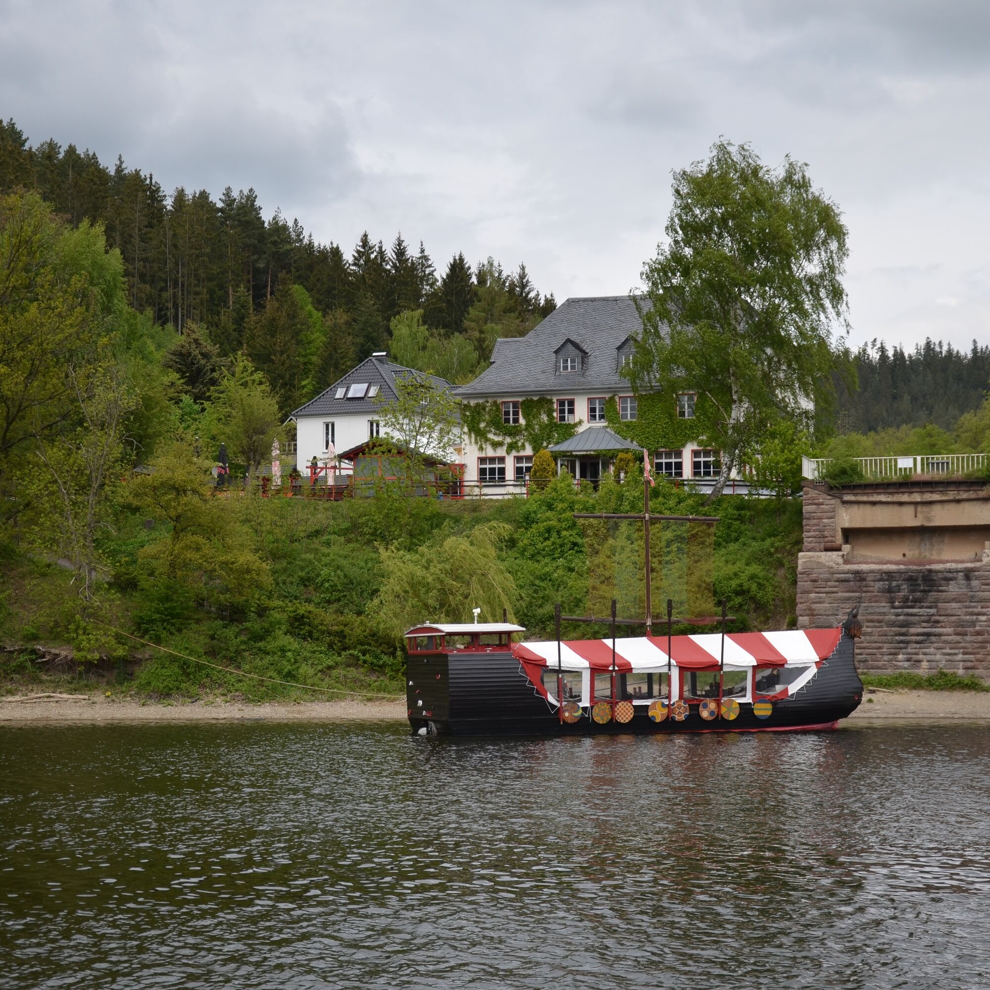
.On the second stage of the Hohenwarte Reservoir Way, you climb quite a few elevation meters and are rewarded with unique views of the winding Saale waterfalls. Along the unique, naturally beautiful landscape, you cross the regional recreation areas with their numerous recreational opportunities and walk from the historic "Linkenmühle" mill along the European long-distance hiking route Eisenach-Budapest all the way to Ziegenrück.

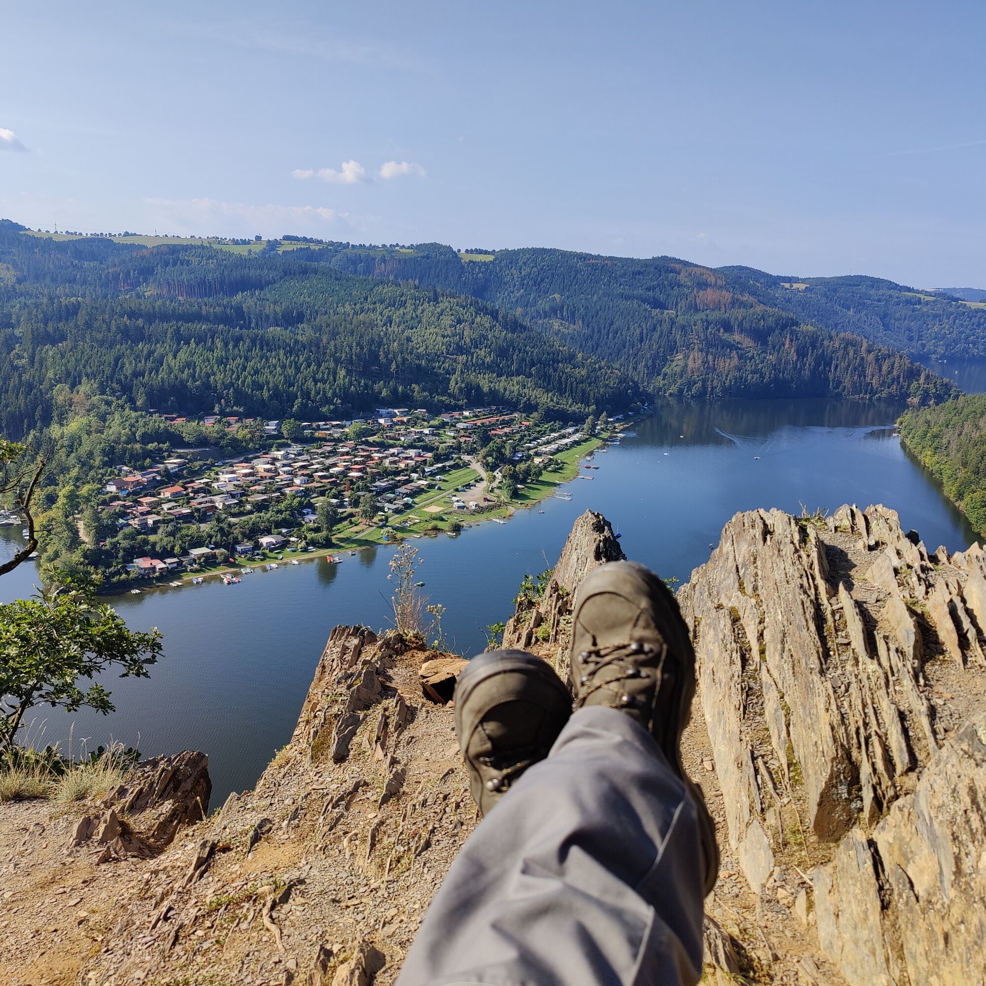
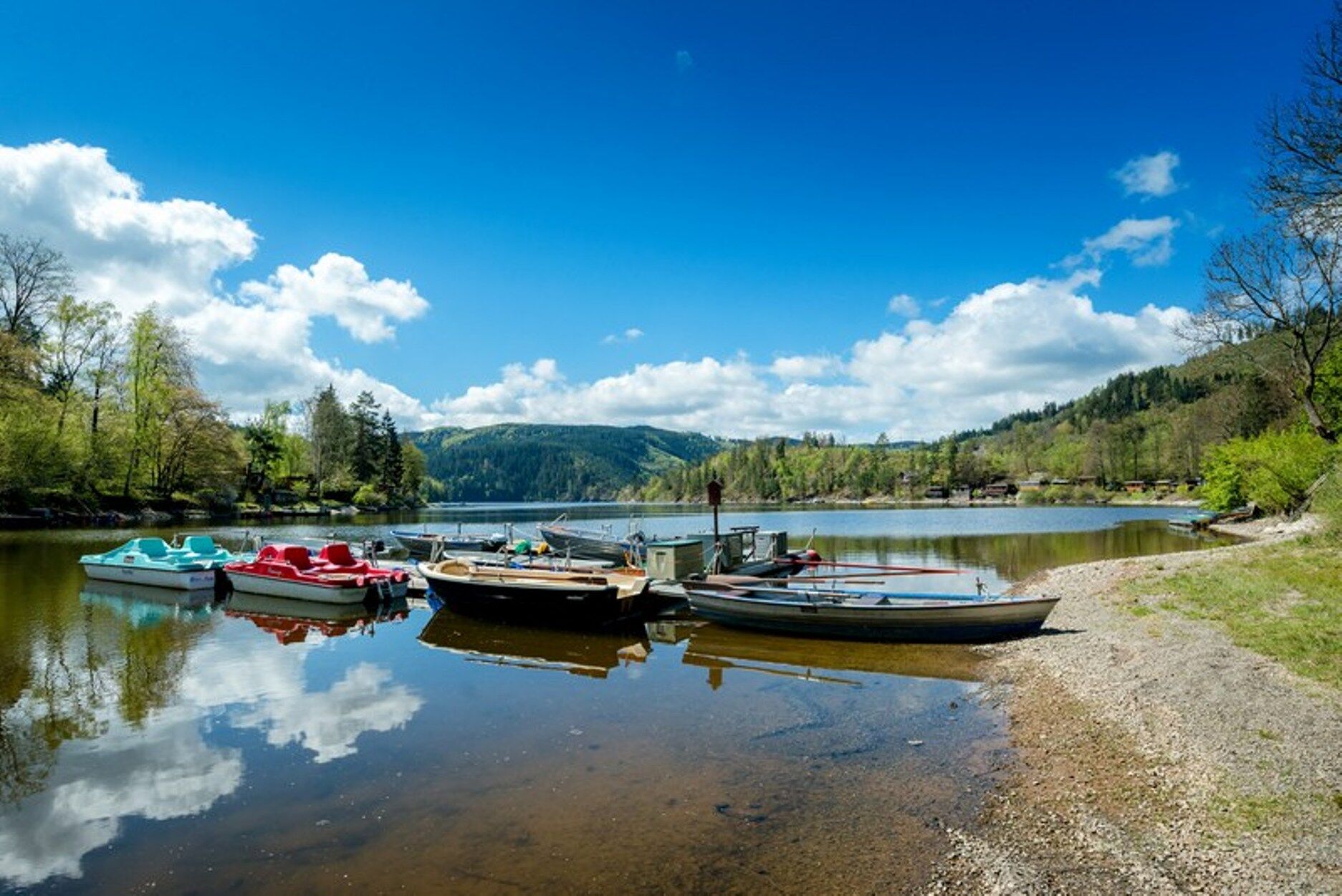
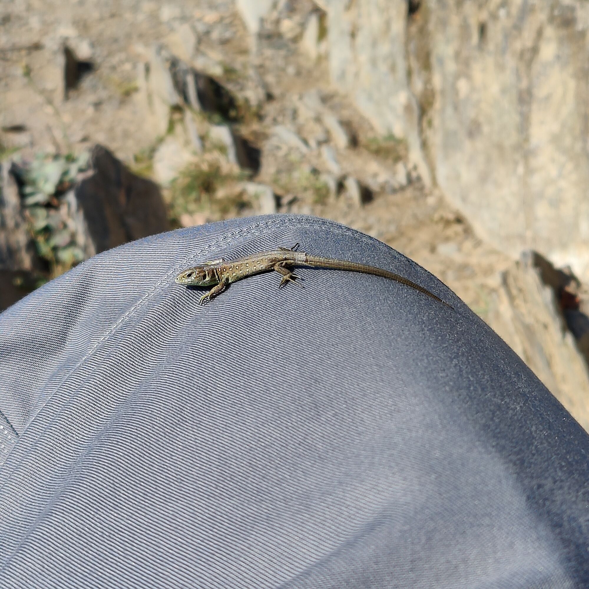
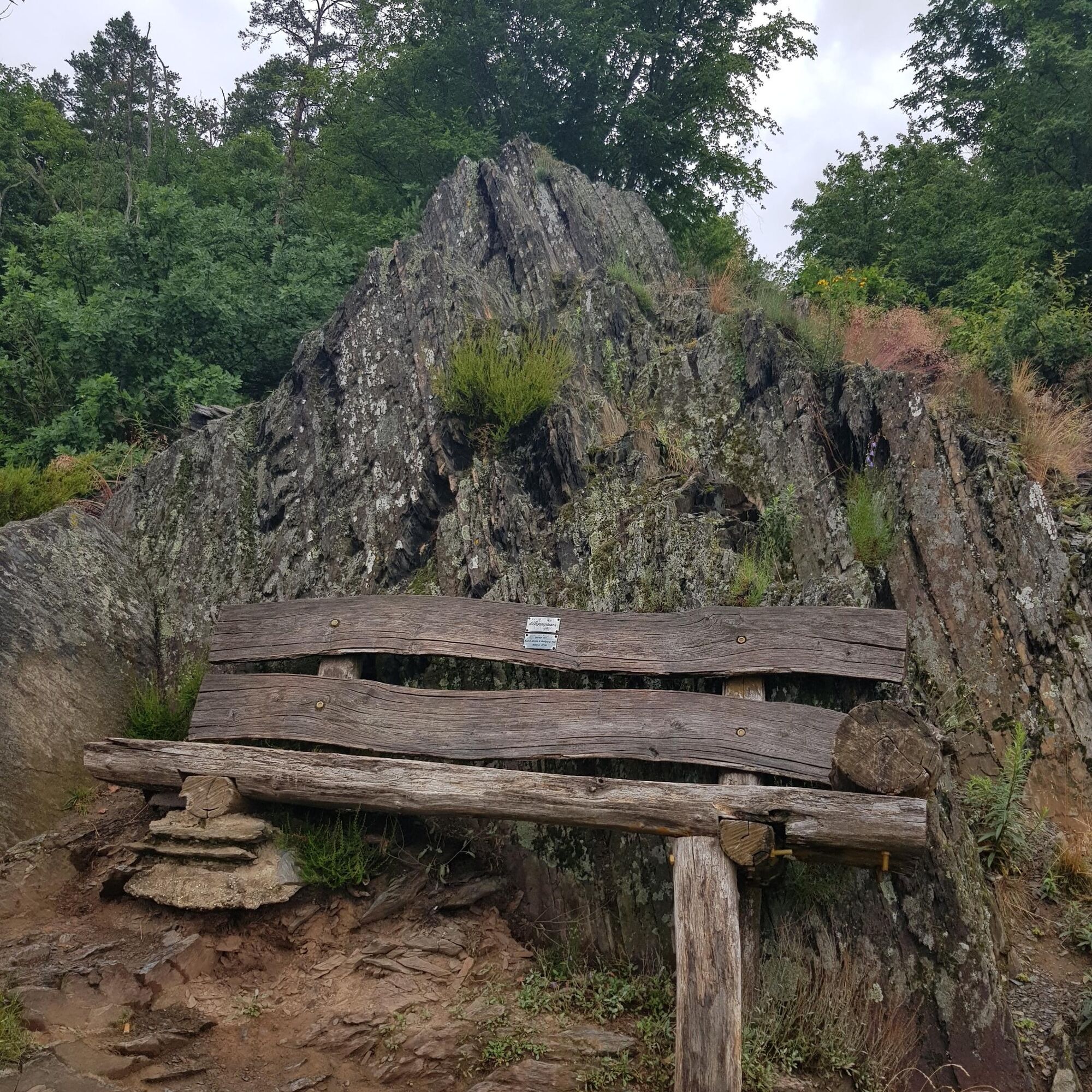
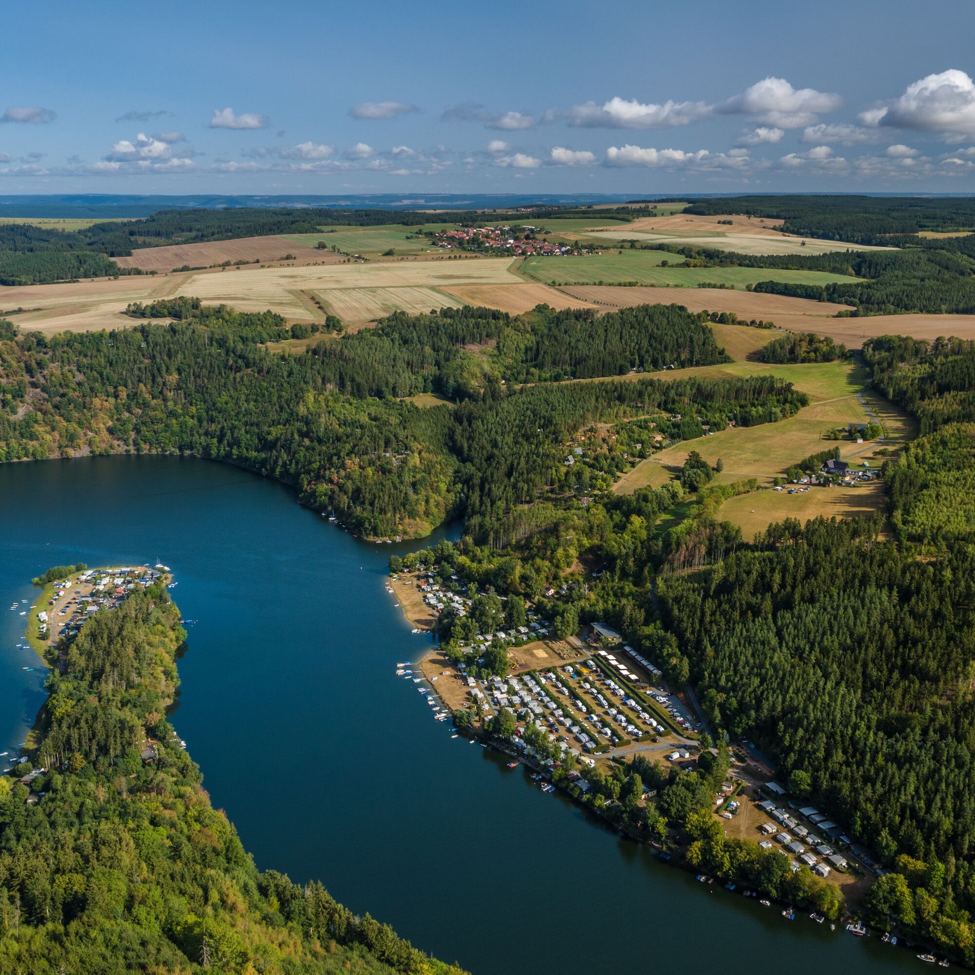
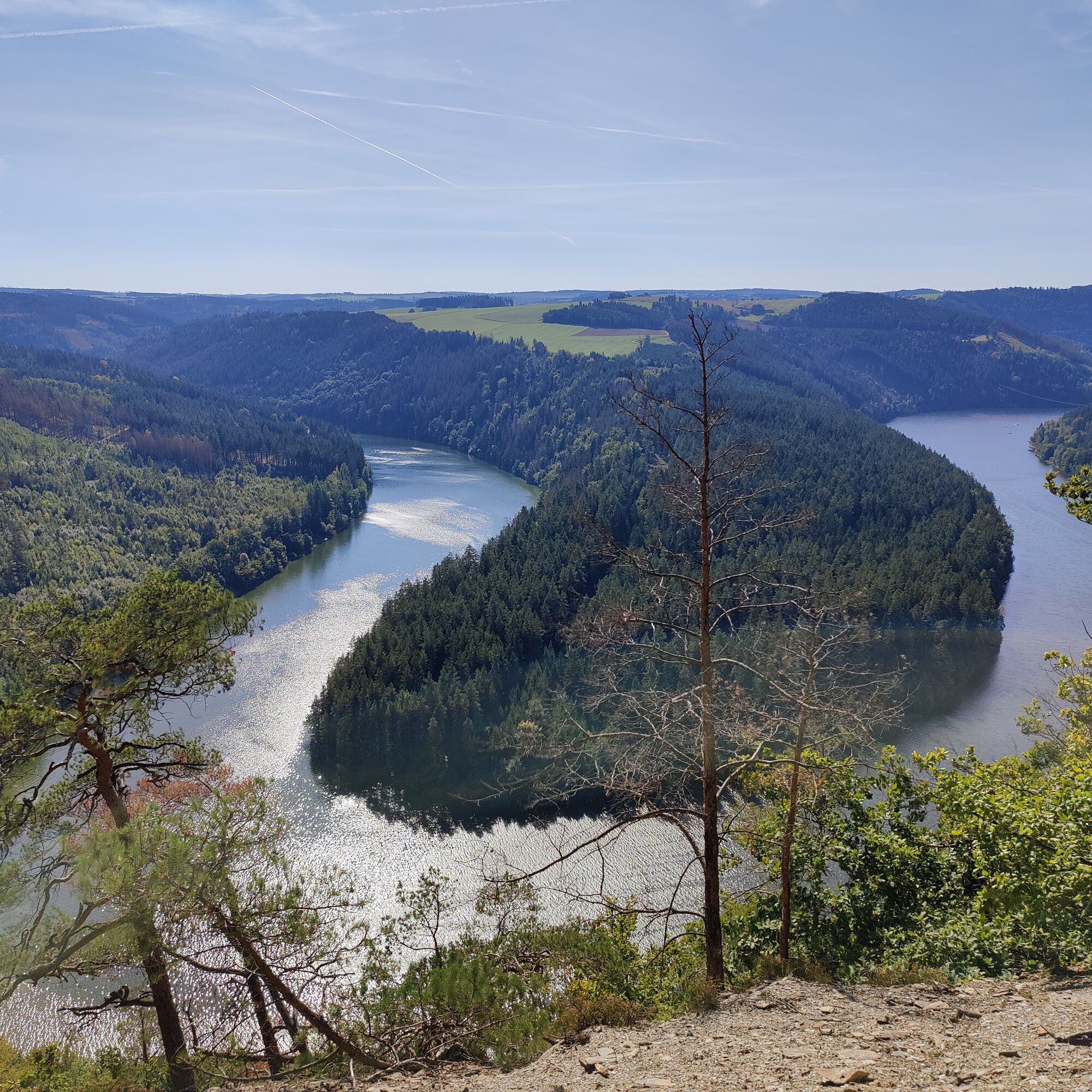
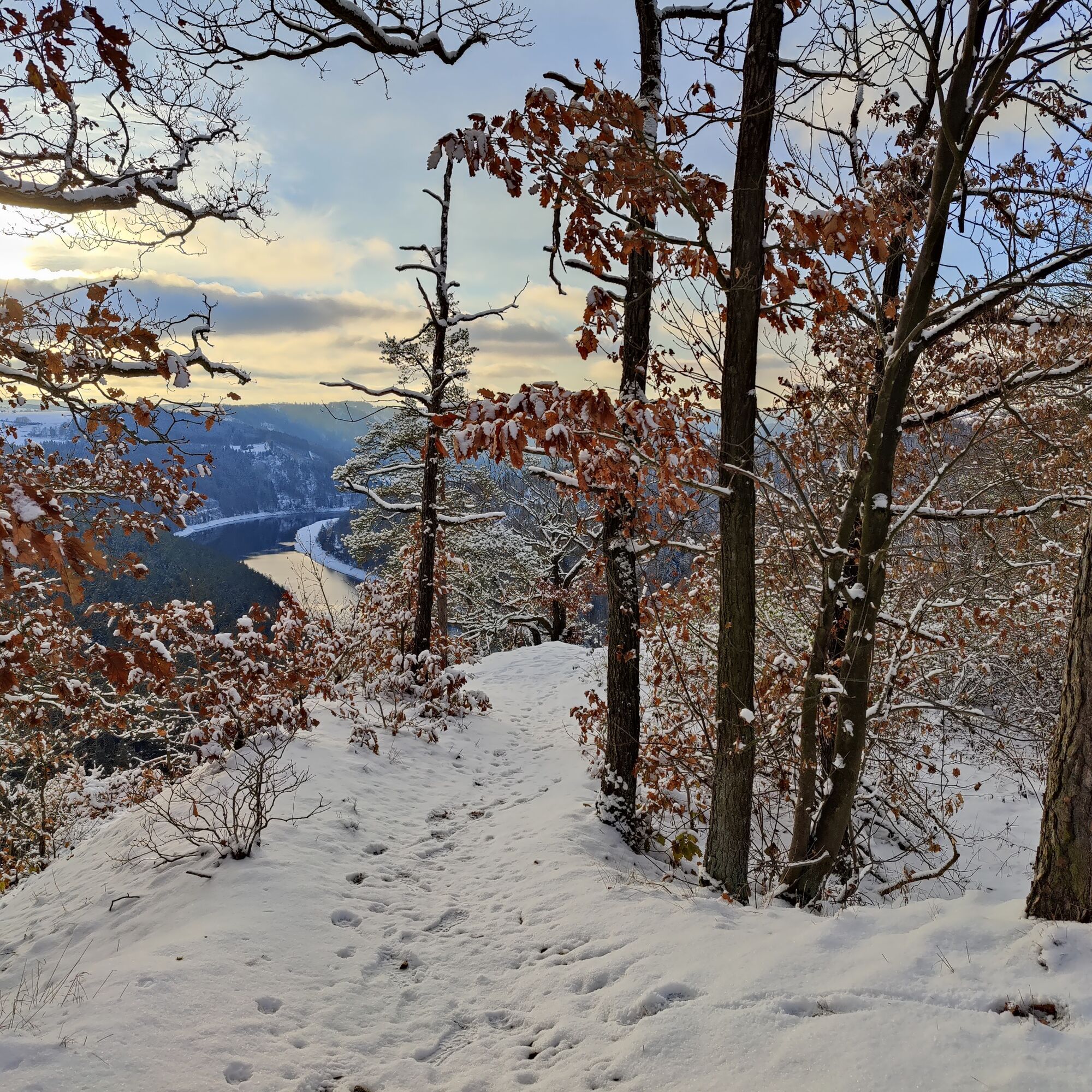
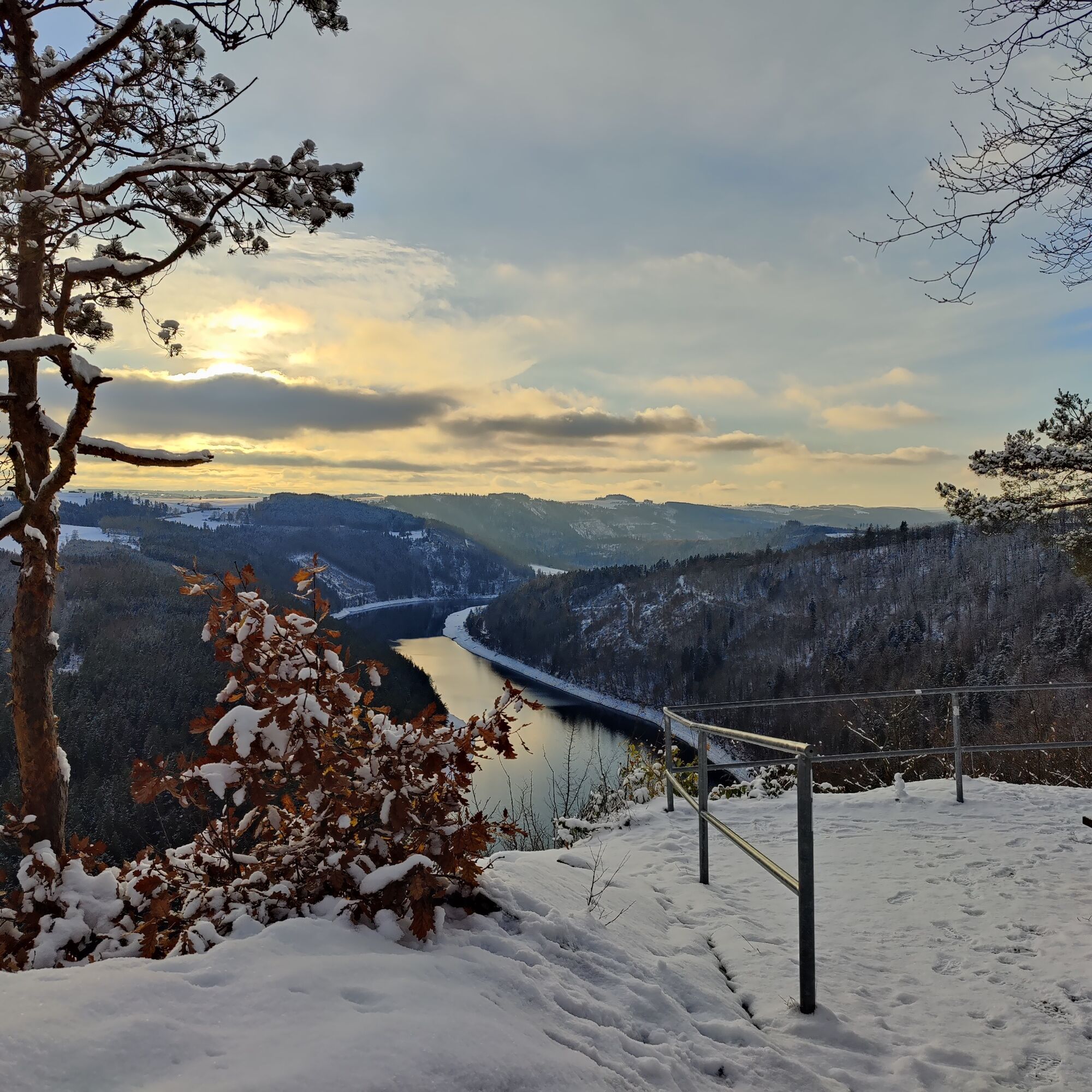
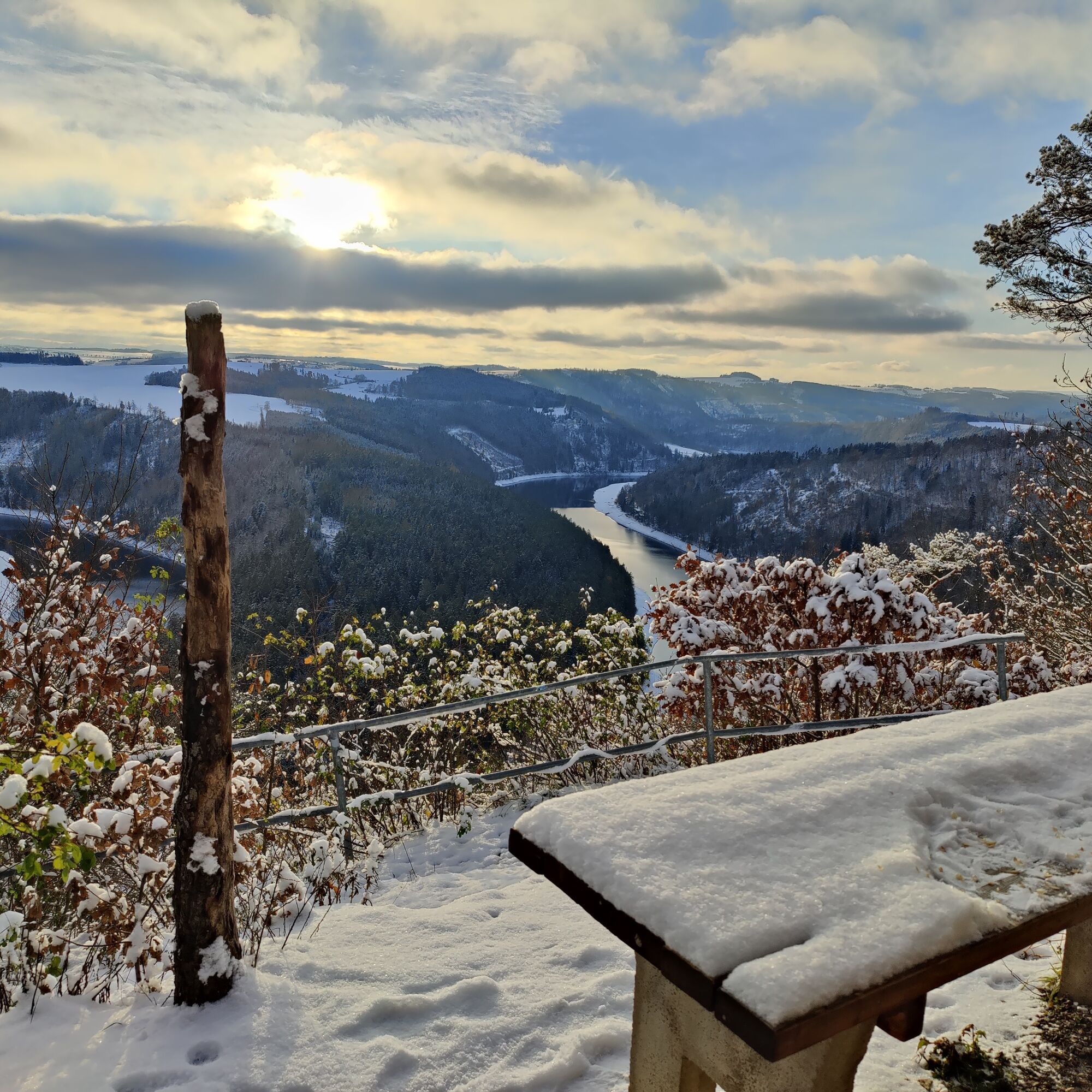
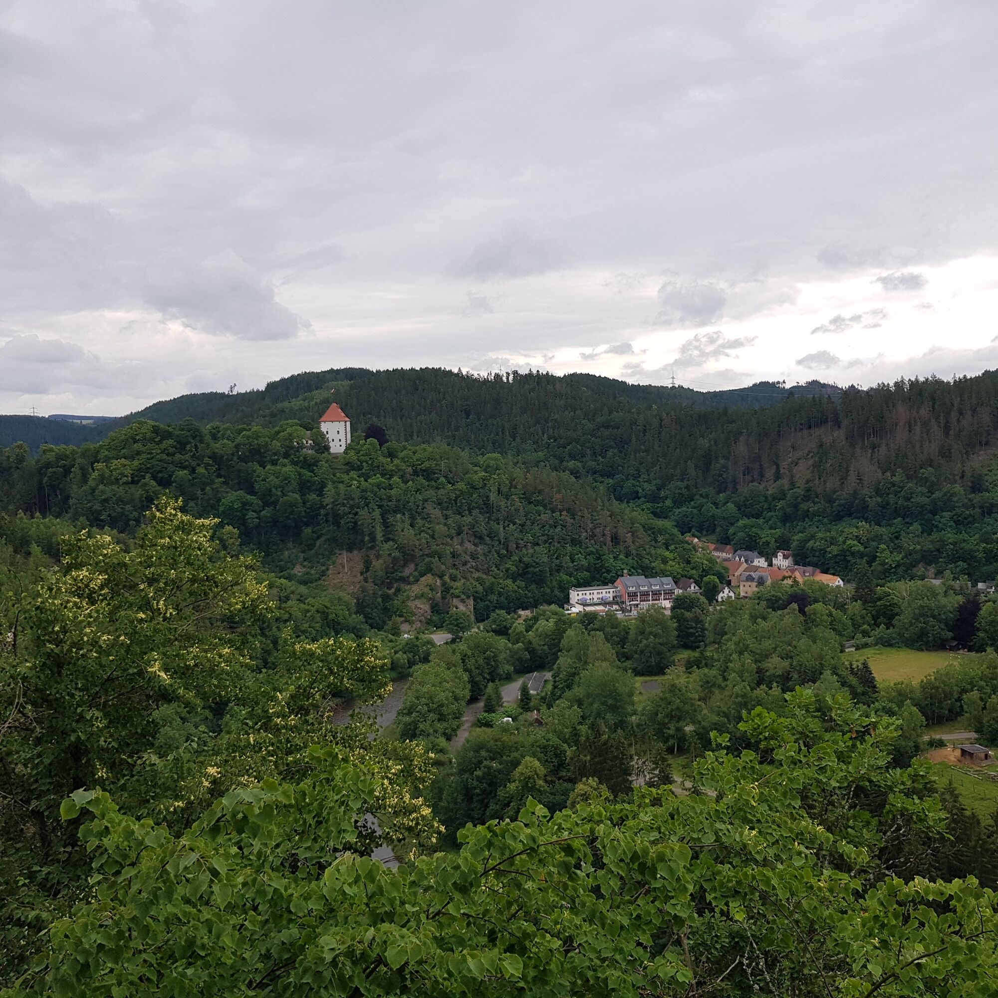
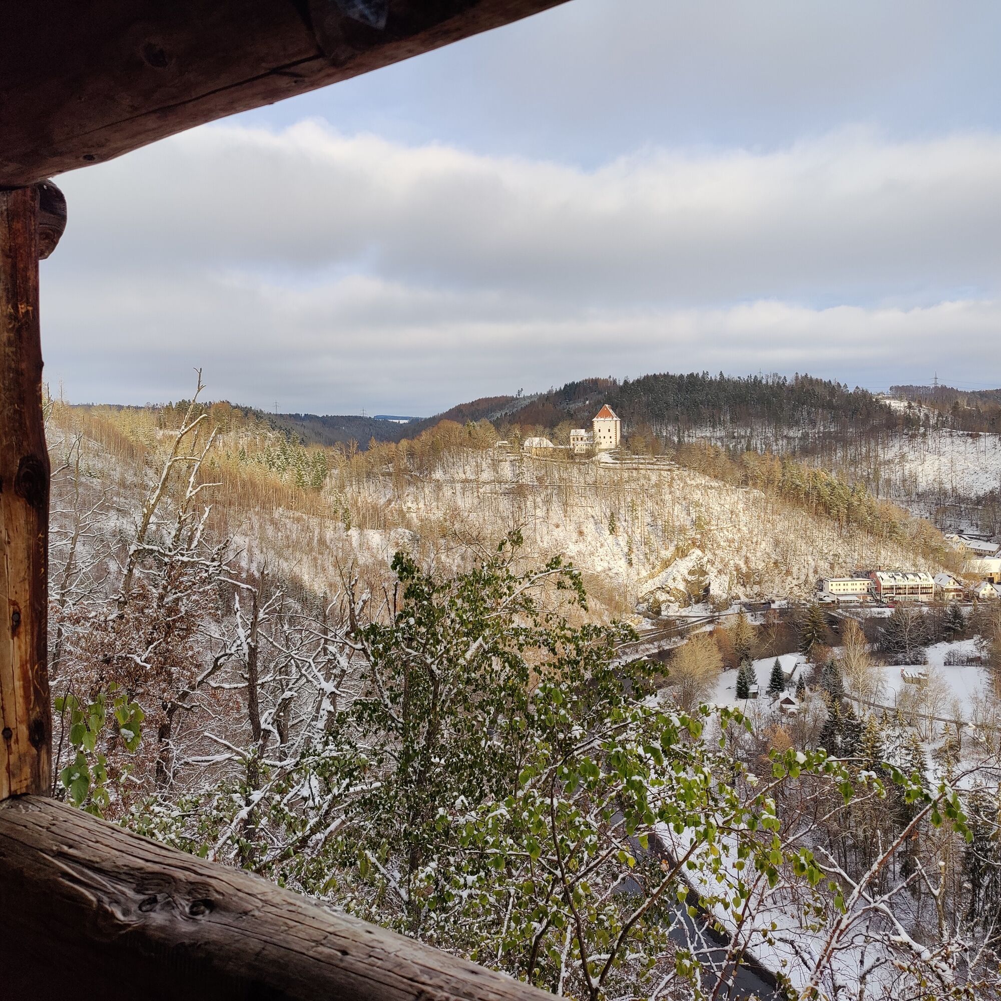
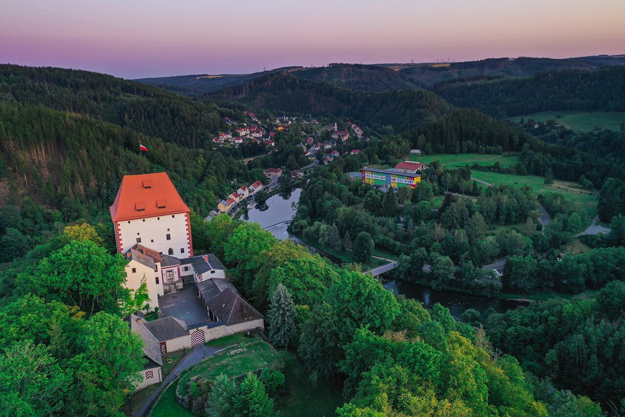


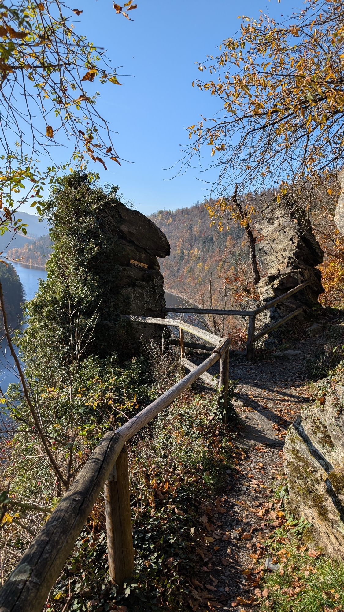
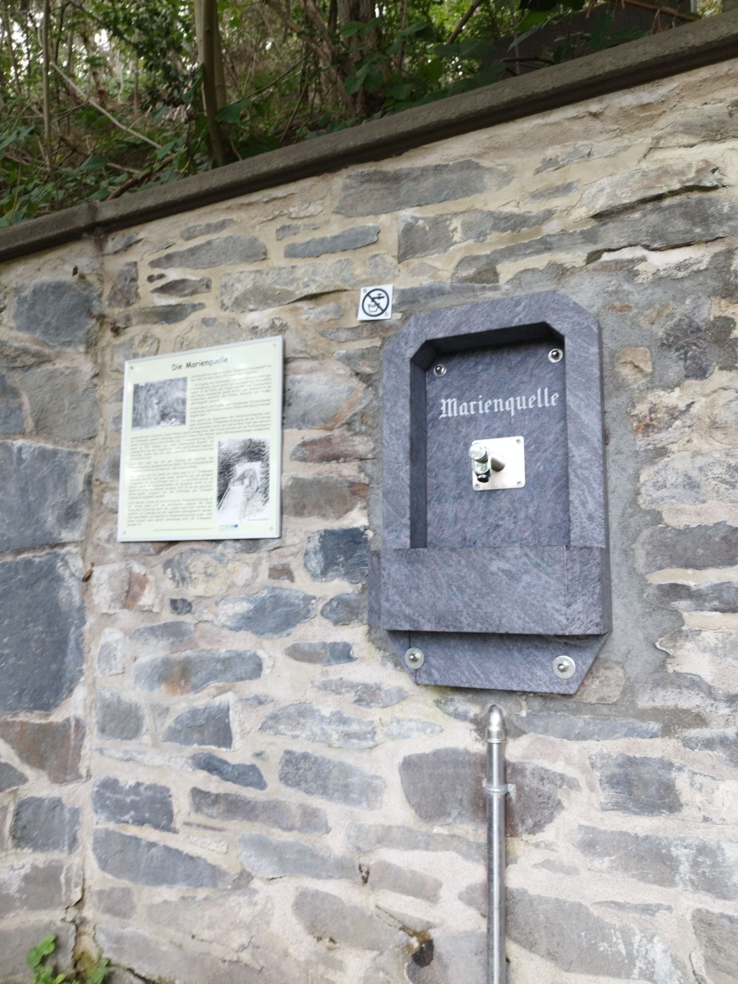
Camping Portenschmiede - Bloßebene - Weidersberg - Neumannshof bathing/campsite - Linkenmühle - Camping Linkenmühle - Lasterberg - Teufelskanzel - Marienquelle - Ziegenrück
Tak
Sturdy shoes
Drink supply
First aid kit
GPS navigation system or smartphone
Hike at your own risk!
We wish you a relaxing and eventful hike!
From the A9 take exit 26 (Triptis) and follow the B281 westbound to Neustadt an der Orla. Follow the main road via Pößneck towards Saalfeld. Leave the B281 at Unterwellenborn (Thuringia Steelworks) southbound towards Großkamsdorf / Goßwitz / Bucha. Continue south from Bucha on L2384 towards Hohenwarte dam.
Hohenwarte is easily accessible by KomBus - Line 546 from the Saalfeld direction (Deutsche Bahn connection). Line bundle 5 connects a public transport offer around the entire reservoir with coordinated connections.
.To look for connections to Wilhemsdorf (nearest bus stop), simply use the Deutsche Bahn travel portal.
To look for connections to Ziegenrück, just use the Deutsche Bahn travel portal.
There is a visitor parking lot (Google NAV point)
in Ziegenrück by the forest adventure trail.
T2
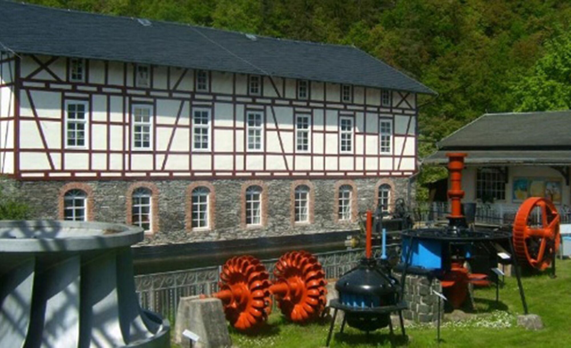
Ziegenrück castle complex, Bockfelsen Gössitz viewpoint, Ziegenrück hydropower museum

Popularne wycieczki w okolicy
-
4,9
Circular hiking trail - H5 "The Water Route" - Thuringian Forest
średniWędrówka 6,58 km -
Circular route - Otter Bay and Devil's Pulpit - Ziegenrück
średniWędrówka 16,8 km -
5,0
Circular hiking trail for children - "1000-Ponds-Circular Route"
średniWędrówka 8,25 km -
4,7
Circular hiking route - H3 "The Bird's Eye View" - Thuringian Forest
średniWędrówka 8,78 km -
4,5
Von Ziegenrück zur Fernsicht
średniWędrówka 5,50 km -
4,0
Circular route - "Wichtelweg" - Wilhelmsdorf
światłoTrasa tematyczna 2 km -
5,0
Urwaldpfad Leutenberg - Thuringian Urwaldpfade
średniWędrówka 6,82 km -
5,0
Von Dreba zum Plothener Hausteich
światłoWędrówka 7,68 km -
Rund um Schloss Burgk
światłoWędrówka 7,04 km -
4,0
Hohenwarte Reservoir Trail - Stage 3 - Ziegenrück → Drognitz
ciężkiWędrówka 14,1 km
Wędrówki i tropienie


Nie przegap ofert i inspiracji na następne wakacje
Twój adres e-mail została dodana do listy mailingowej.





