






Circular route - Regenbergring - Friedrichroda - Thuringian Forest

From the hiking meeting point, the circular route leads along the Herzogsweg past the Hirtenbrunnen. On the right, the Hörselbachstieg begins the ascent to the Schauenburg pond and the remains of the former...
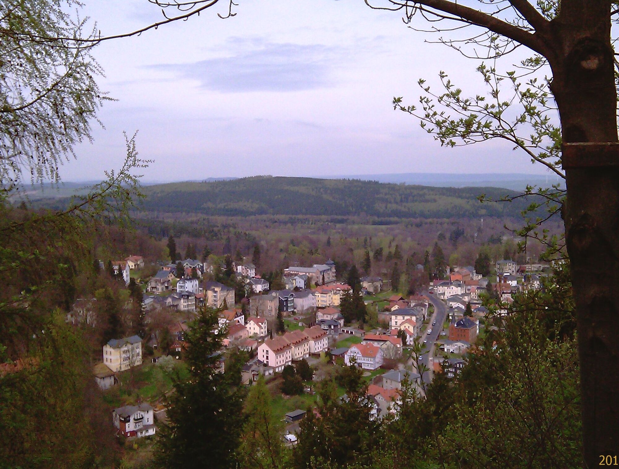
From the hiking meeting point, the circular route leads along the Herzogsweg past the Hirtenbrunnen. On the right, the Hörselbachstieg begins the ascent to the Schauenburg pond and the remains of the former castle. After a short descent, the path goes up to the Regenbergstein and then descends back to the spa park.
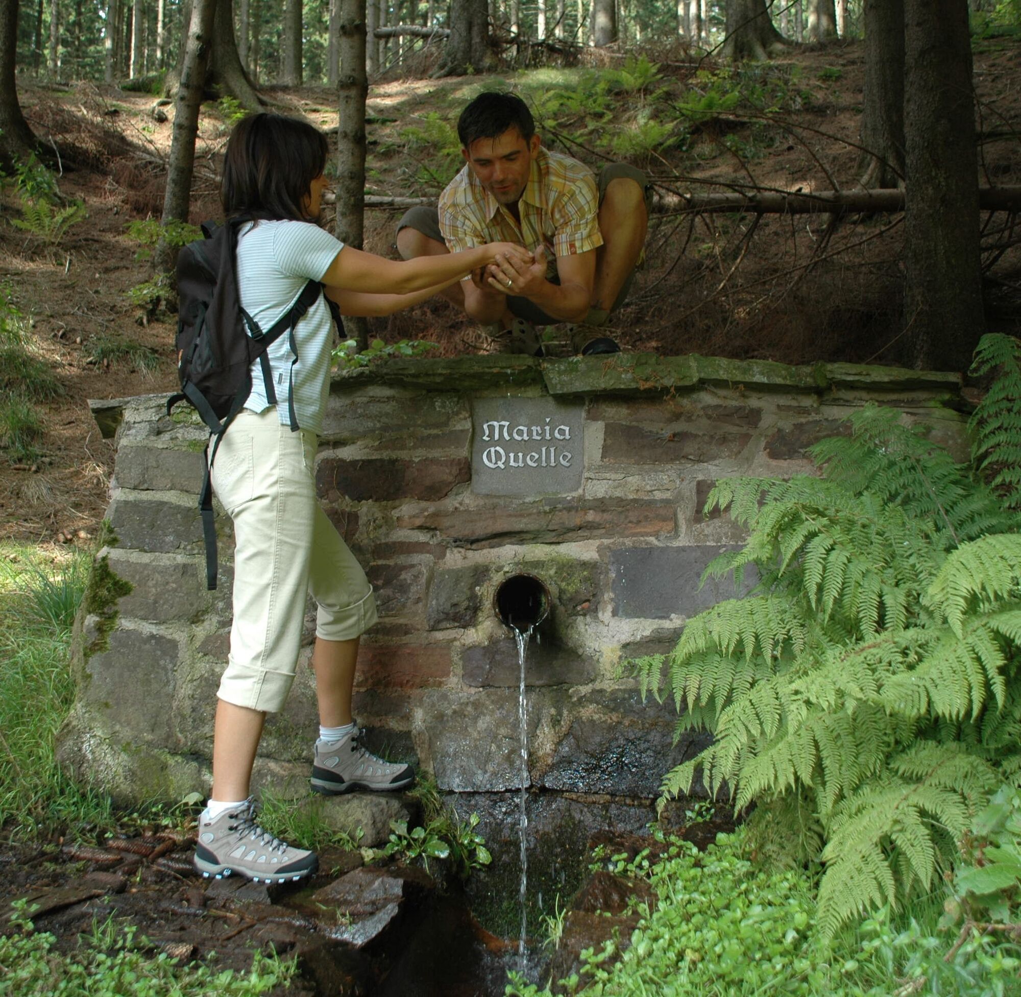
Attractions: Herzogsweg – typical villa street of the 19th century, Hirtenbrunnen – former watering place for cows before they were driven to the Schauenburg meadow.
Trail marking: green dot Langer, very demanding path
Average output 80 watts


From the hiking meeting point, the circular route leads along the Herzogsweg past the Hirtenbrunnen. On the right, the Hörselbachstieg begins the ascent to the Schauenburg pond and the remains of the former castle. After a short descent, the path goes up to the Regenbergstein and then descends back to the spa park.
Tak
sturdy footwear
rainwear
first aid kit
drink reserve (summer)
GPS navigation device or smartphone
Coming from the A4 take exit 41b (Gotha-Boxberg) and continue south on L1026 towards Waltershausen and Friedrichroda.
You can reach Friedrichroda by the trains of the Thuringian Forest Railway from Gotha main station to the Reinhardsbrunn-Friedrichroda stop or by DB Regio trains.
For a direct connection inquiry please use this link:
→ Directions to Friedrichroda
Simply add your start point and the desired date.
Parking lot Sportbad Friedrichroda (Google NAV point)
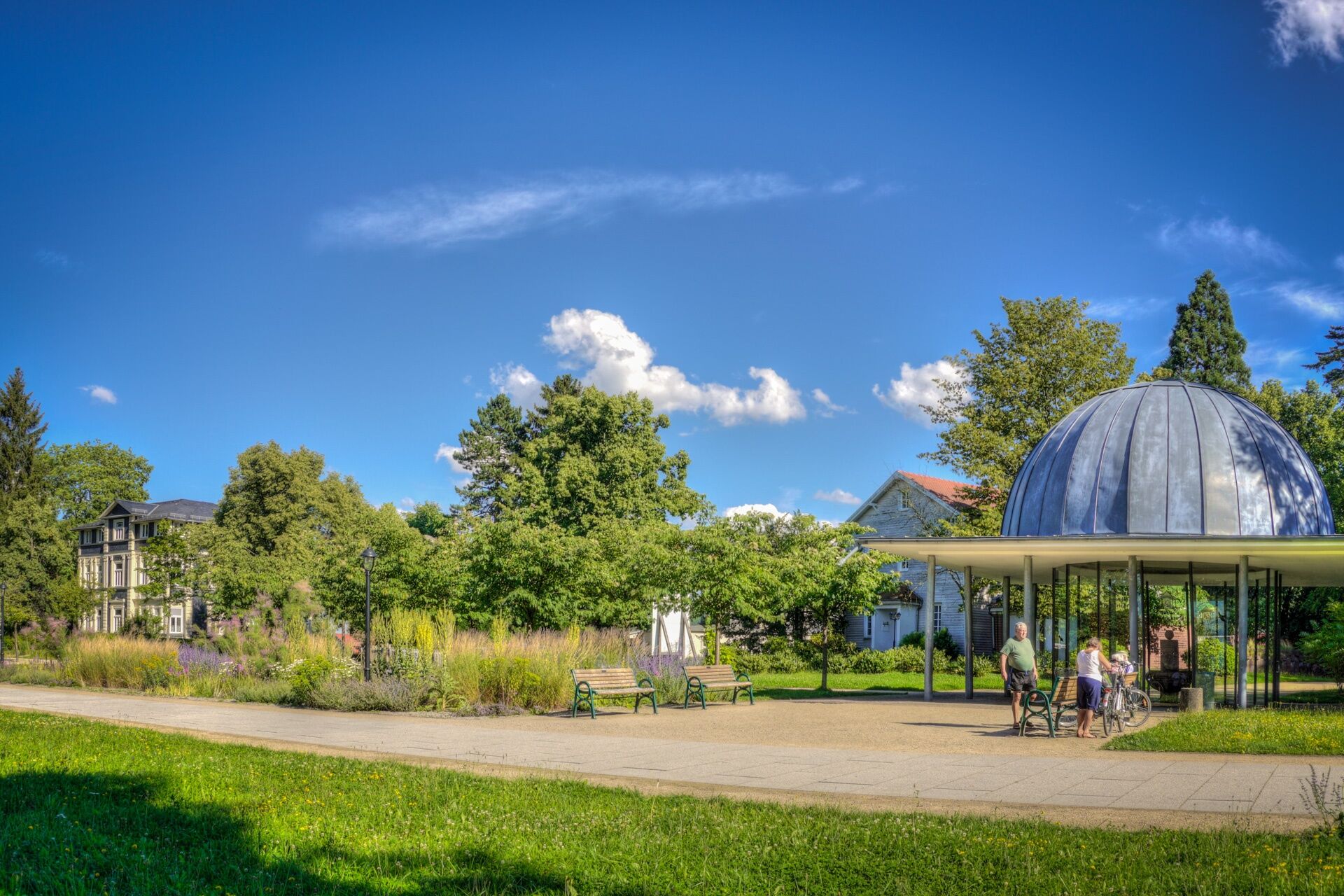
Before starting the hike, be sure to take a hearty sip of medicinal water at the drinking pavilion in the spa park.

Kamery internetowe z trasy

Popularne wycieczki w okolicy
-
4,3
Rund um die Ohratalsperre
światłoWędrówka 14,5 km -
4,6
Summit and panoramic route - Route 1 - Bad Tabarz
średniWędrówka 10,9 km -
4,4
Circular hike "Old Tambach Dam", Tambach-D., Thuringian Forest
średniWędrówka 8,33 km -
3,8
Wanderung zum Spitterfall
średniWędrówka 14,6 km -
4,8
Circular hike - Schmalwasser reservoir - Tambach-Dietharz - Thuringian Forest
średniWędrówka 13,8 km -
Tabarzer Vulkansteig
średniWędrówka 9,91 km -
4,5
Circular hike - Legendary Hörselberge - Great Hörselberg near Eisenach - Thuringian Forest
średniWędrówka 10,6 km -
4,4
Circular hiking trail - "Trusetal Landmark Route" - Thuringian Forest
światłoWędrówka 4,02 km -
4,8
Inselsberg tour - Tour 2 - Bad Tabarz
ciężkiWędrówka 15,1 km -
3,7
Backofenloch circular route - route 6 - Bad Tabarz
średniWędrówka 7,04 km
Wędrówki i tropienie


Nie przegap ofert i inspiracji na następne wakacje
Twój adres e-mail została dodana do listy mailingowej.





