







"Rennsteig Ladder Bad Tabarz" Thuringian Forest

Poziom trudności: T1
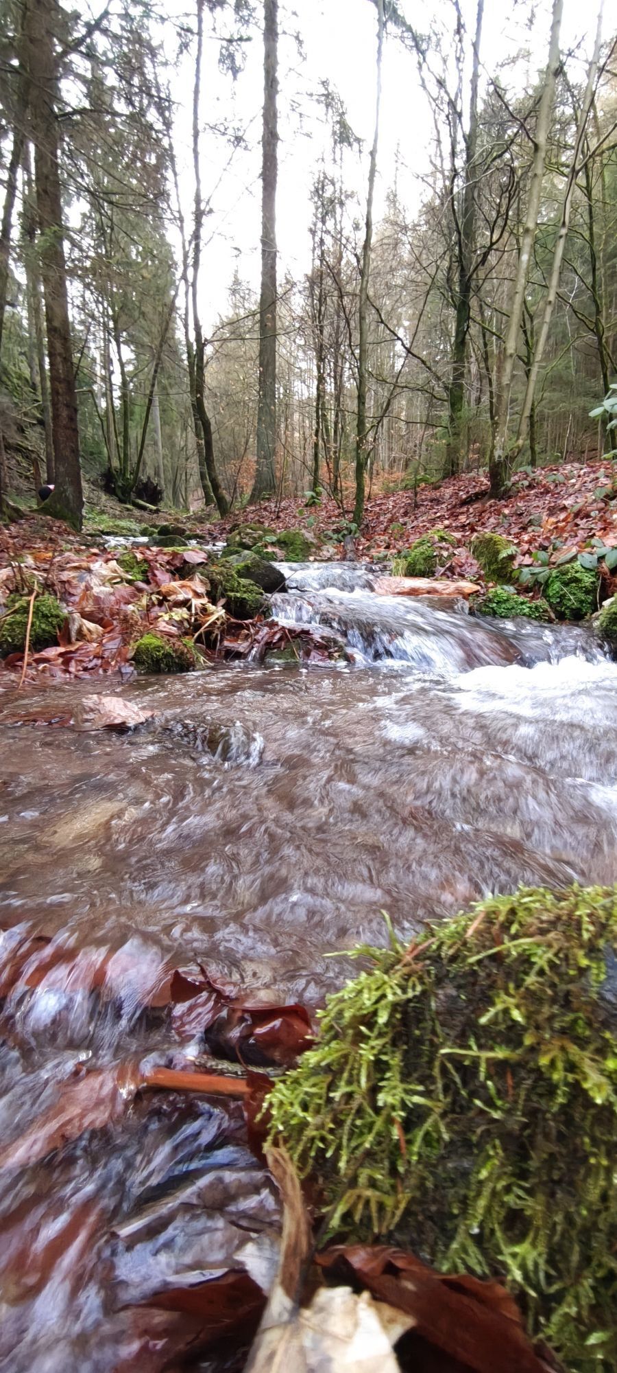
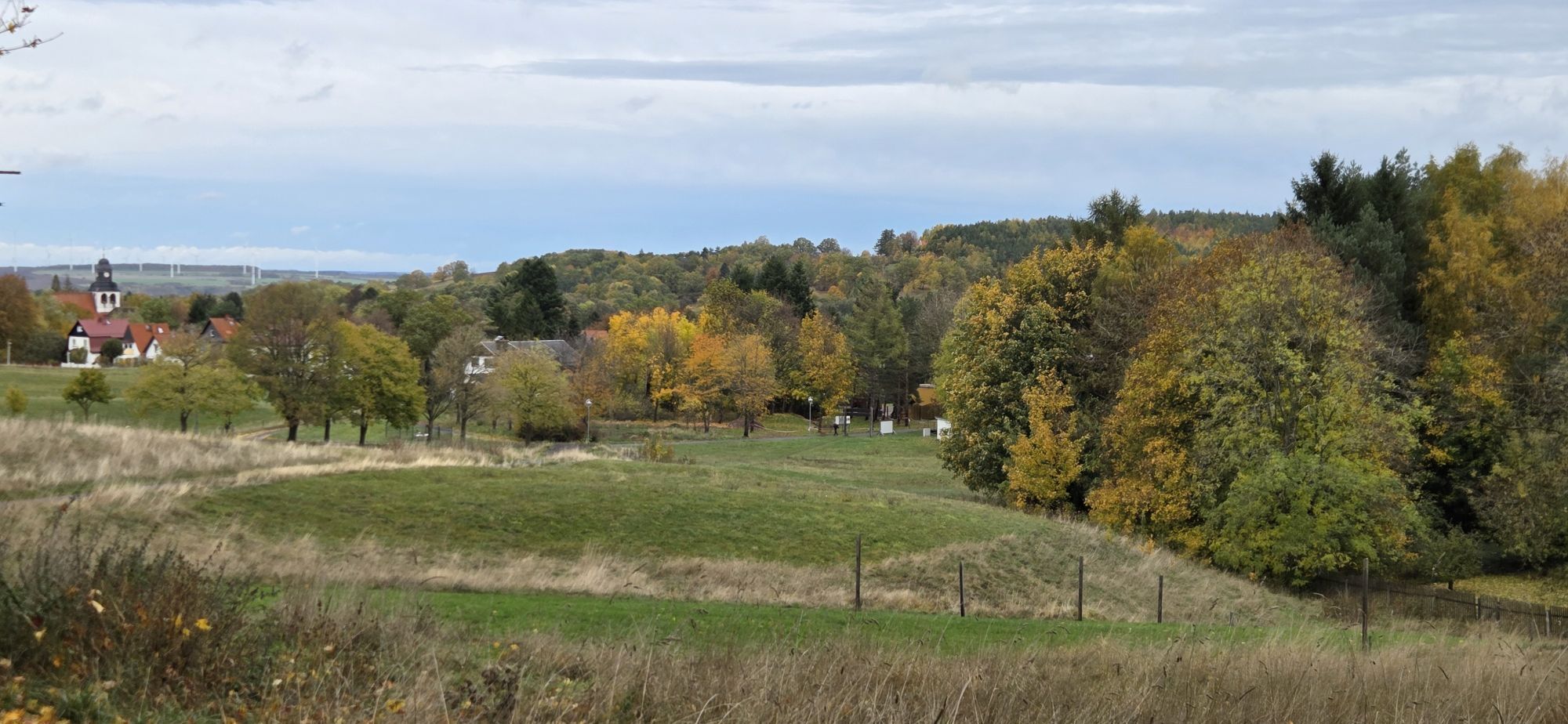

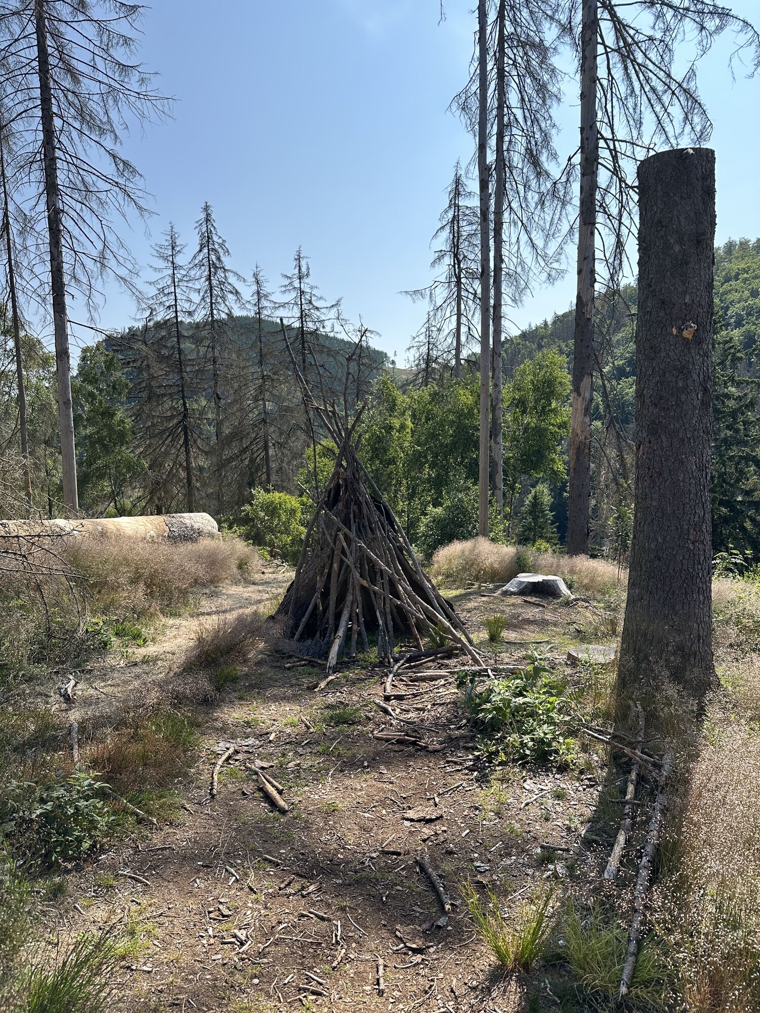
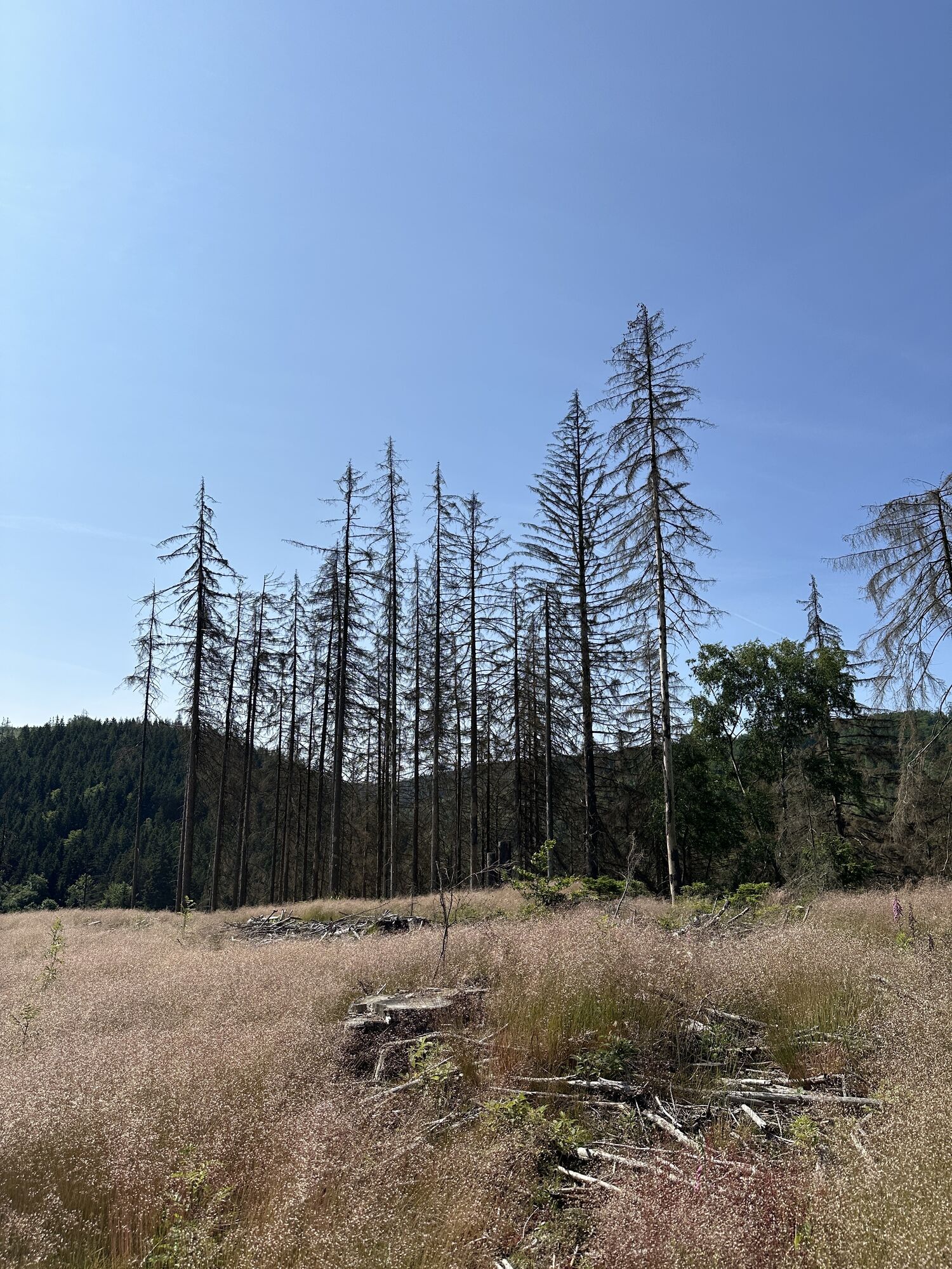
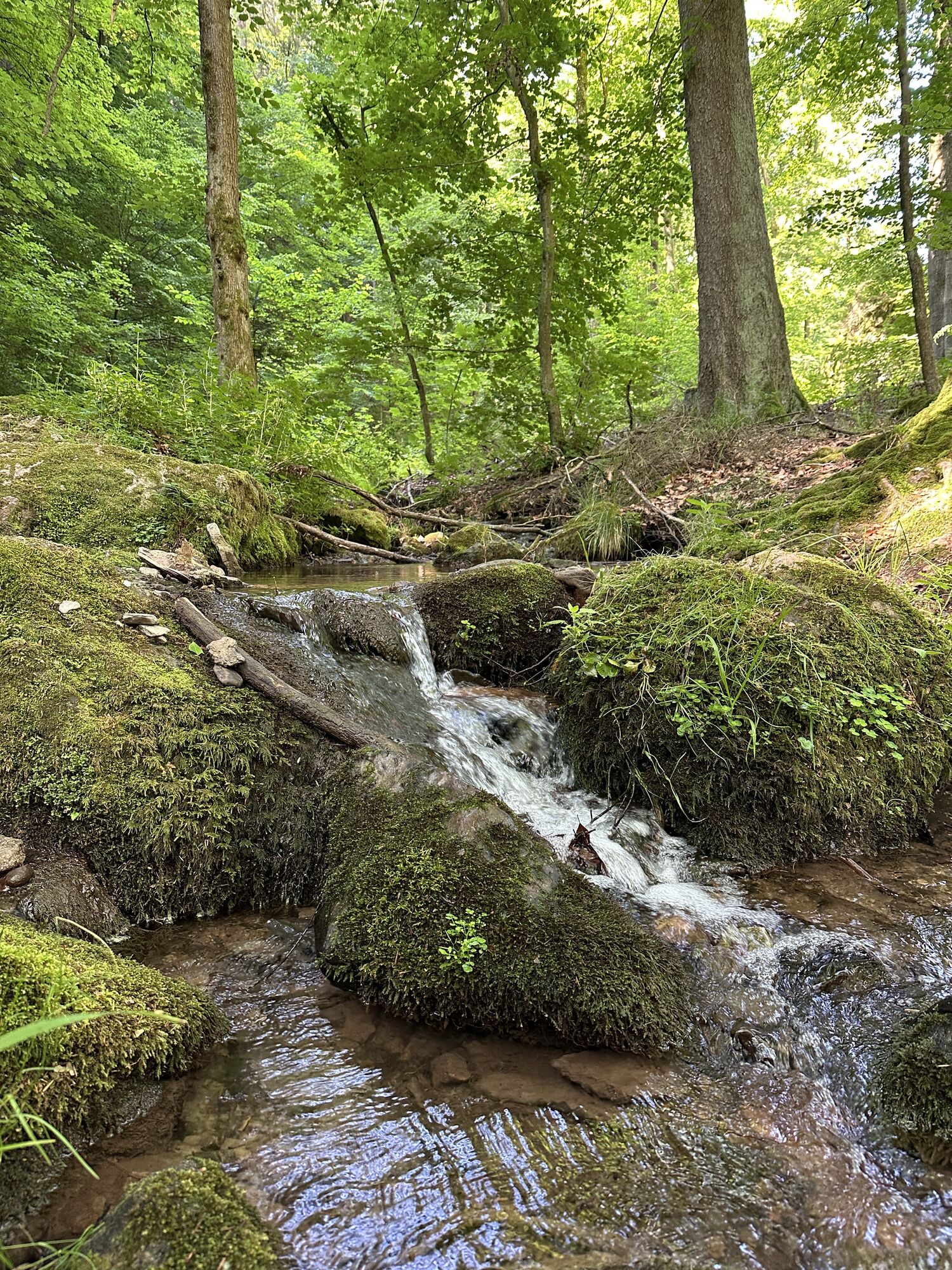
In Bad Tabarz hopefully you have already visited the pipe-making workshop!? A student of the former master pipe maker Kallenberg has brought the traditional workshop back to life. He will gladly give...
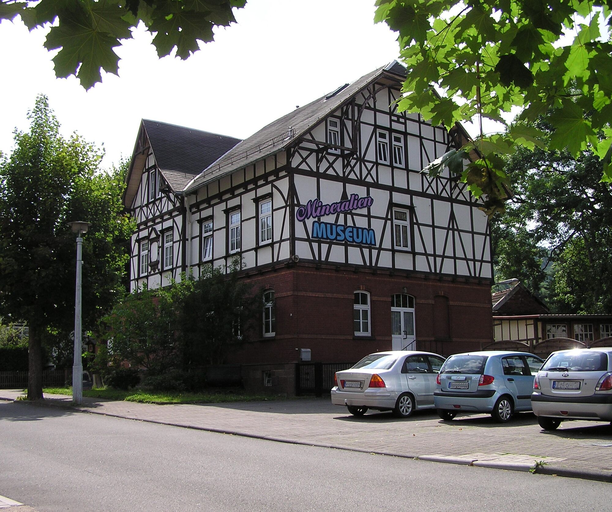
From April to June, Bad Tabarz presents itself especially magnificently. Then the rhododendron is in full bloom. The low-allergen climate here is particularly beneficial for the plant. In the front gardens and in the specially created rhododendron park, you will find a sea of blossoms. A visit to the costume museum as well as to the Bad Tabarz local history museum is also worthwhile.
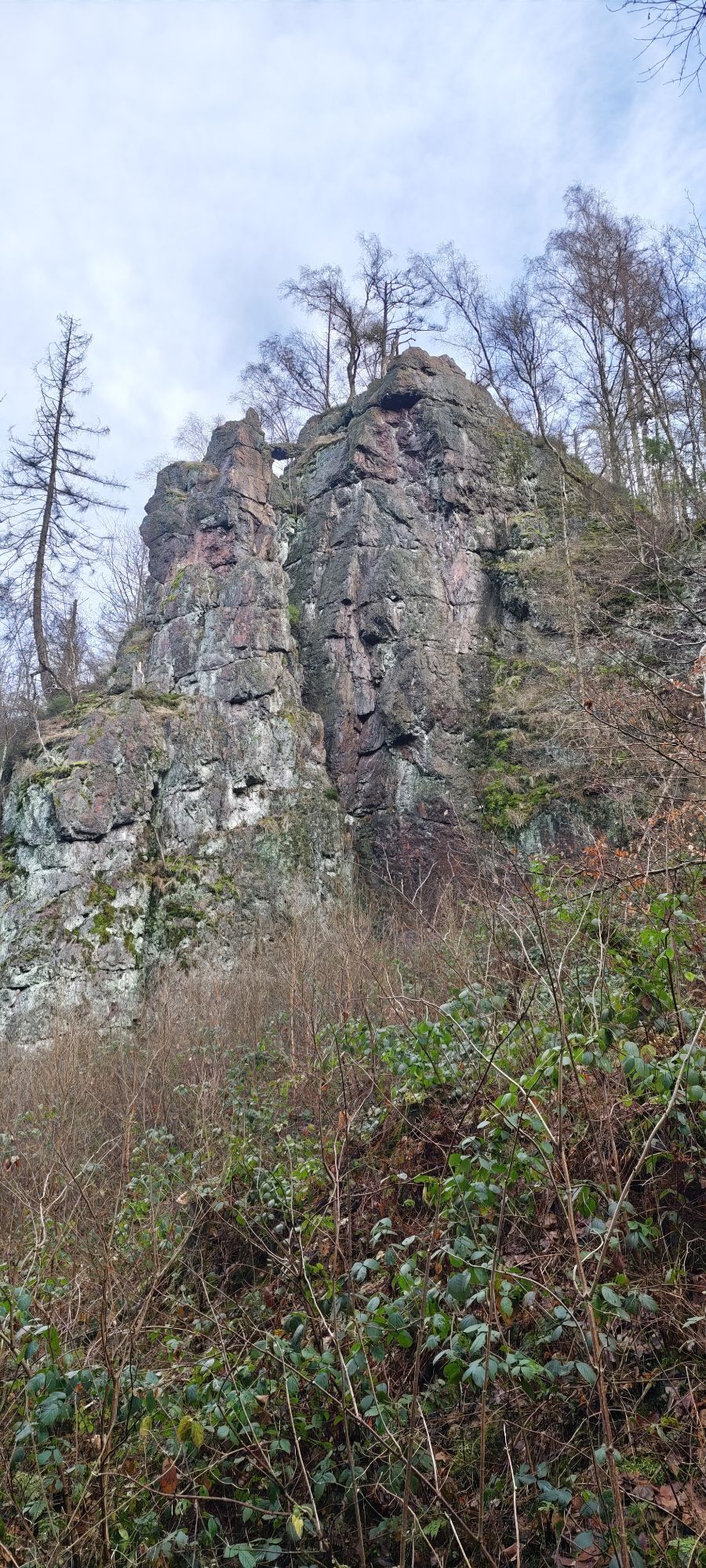
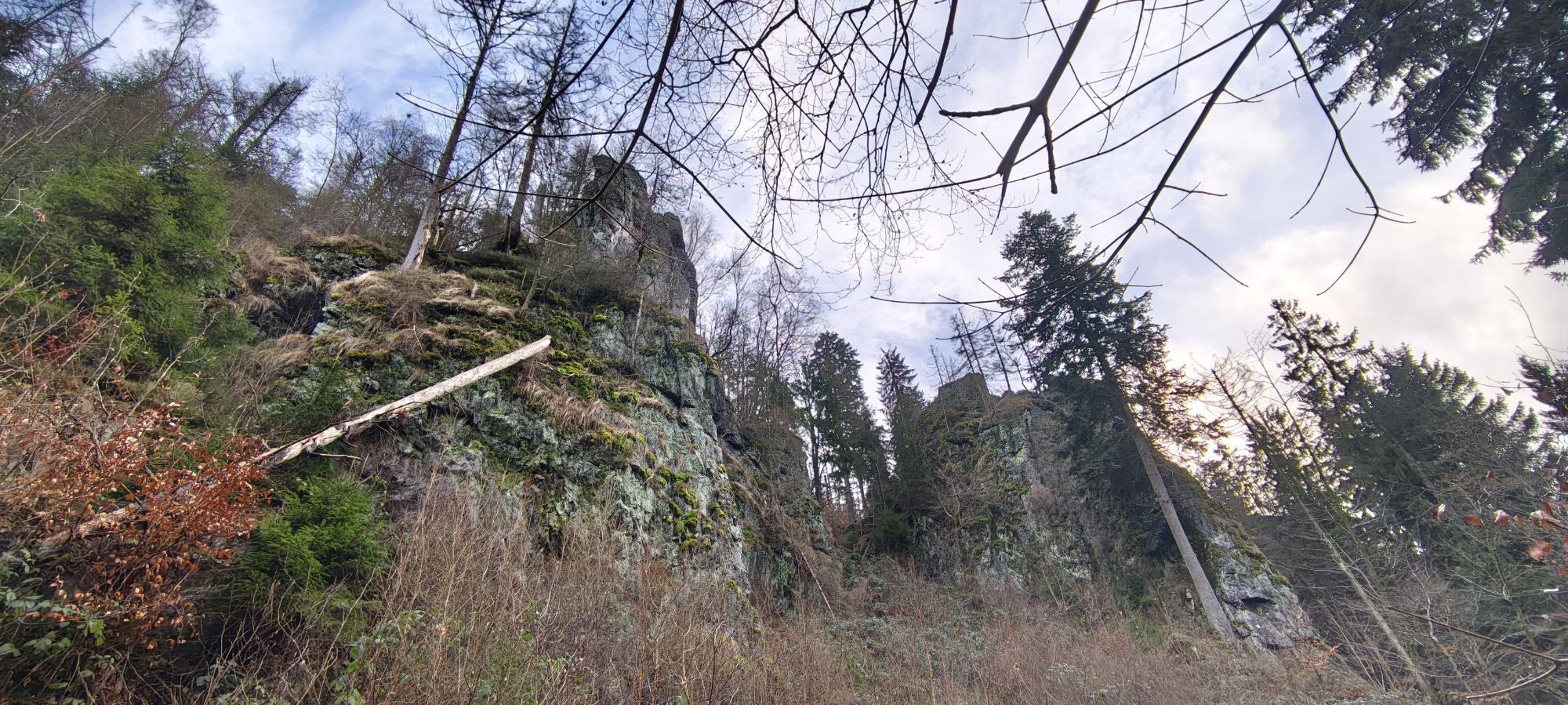
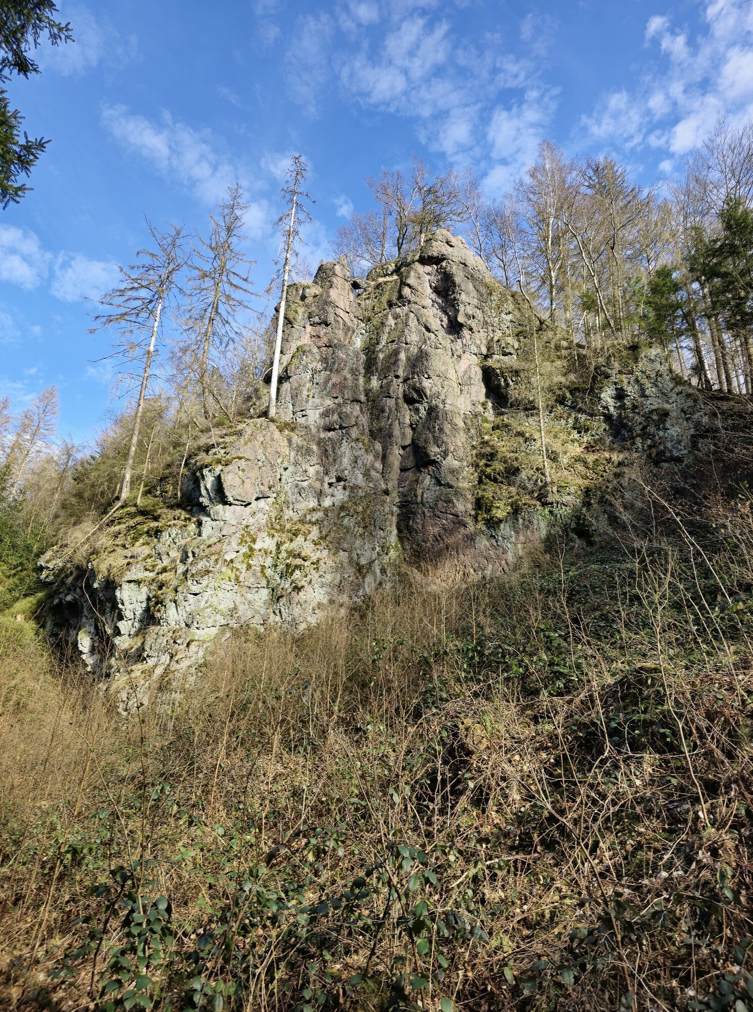
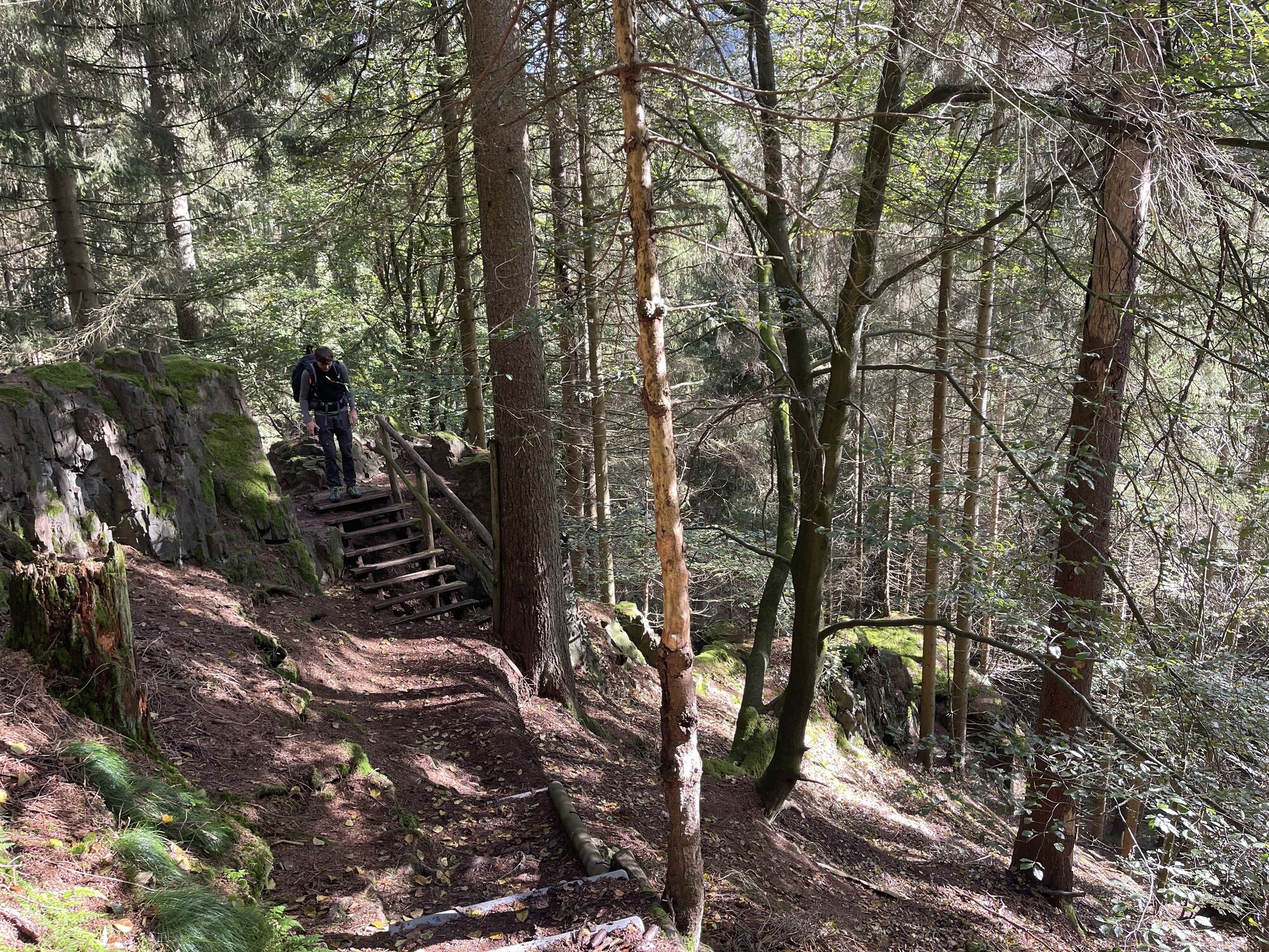
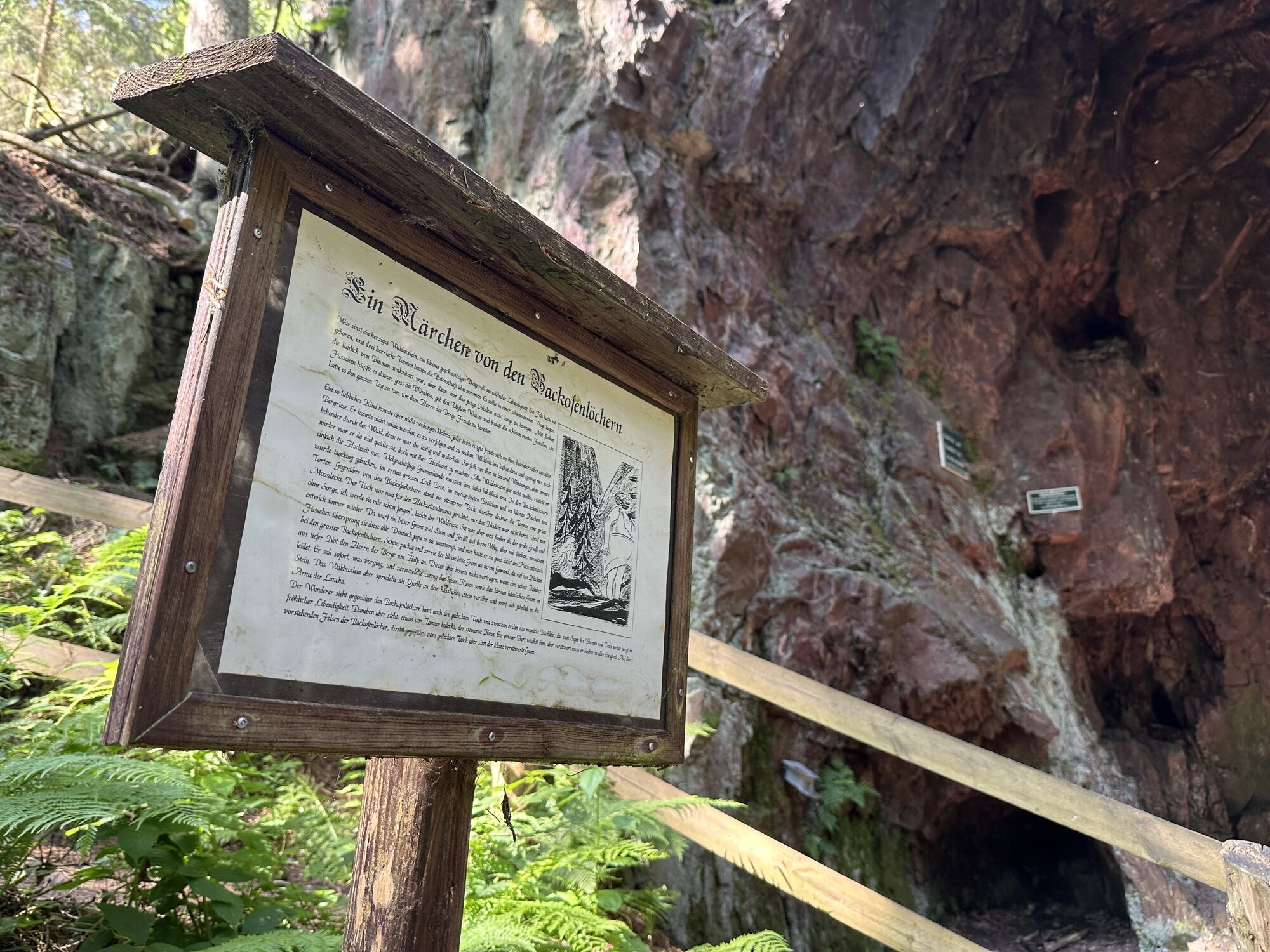
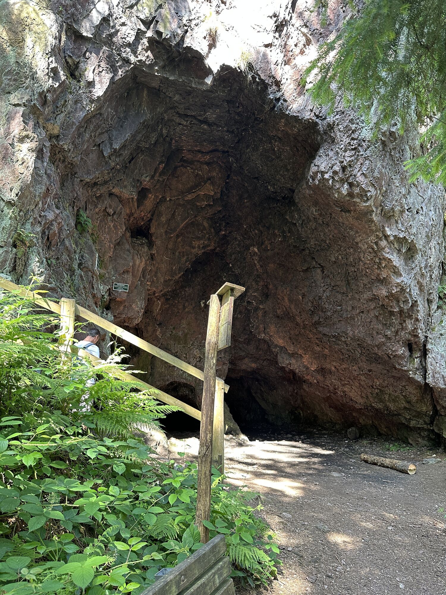
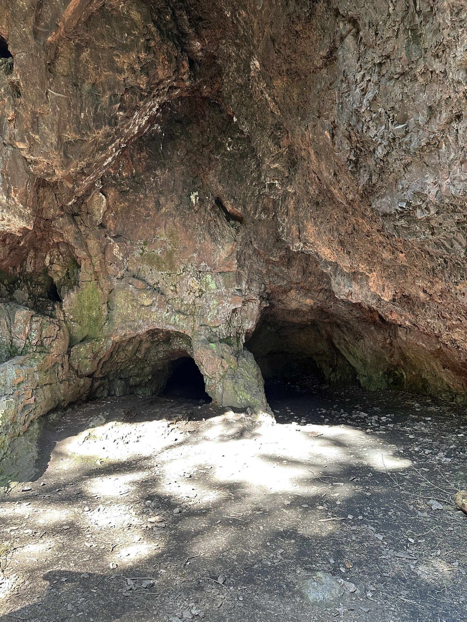
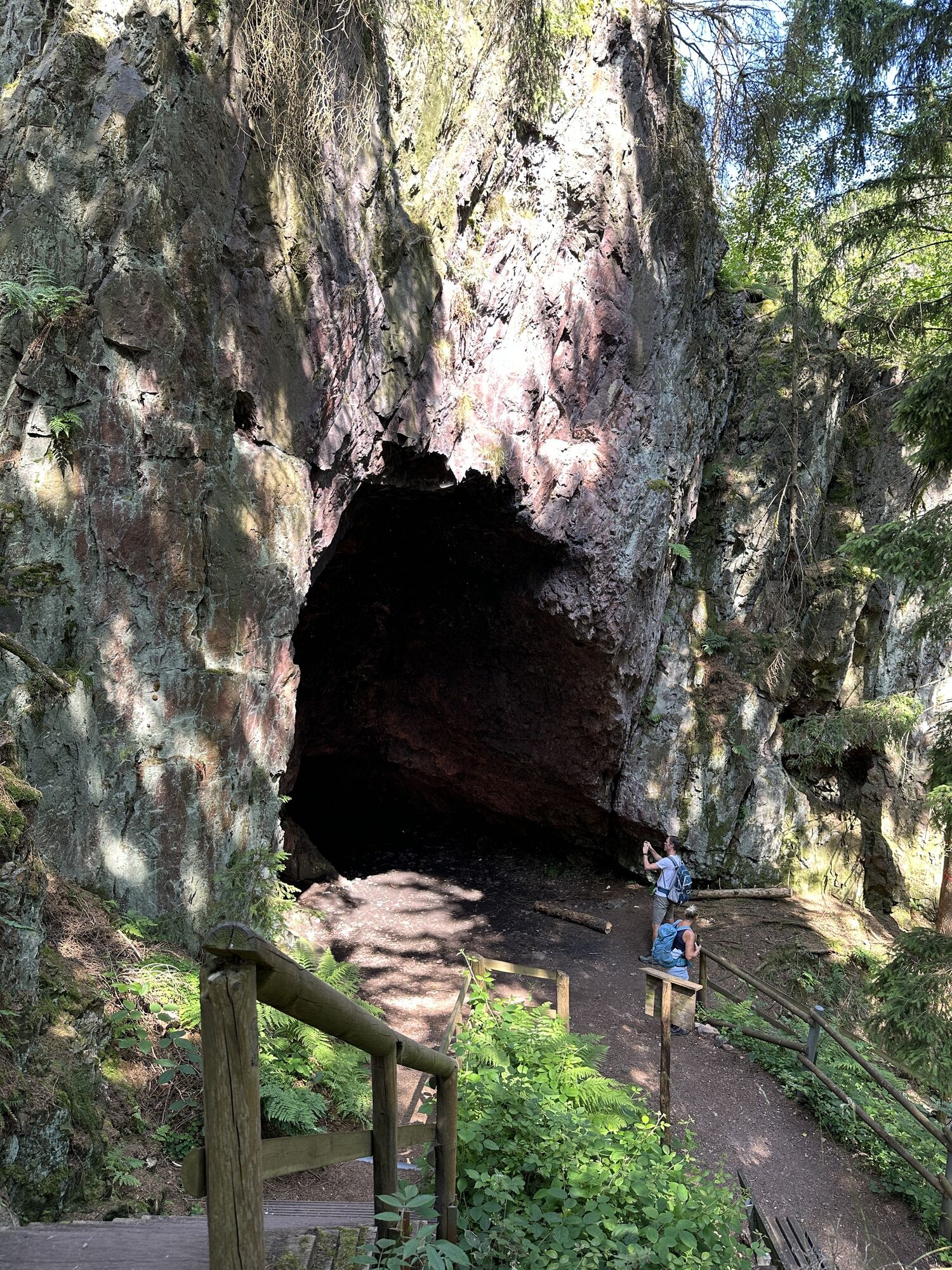
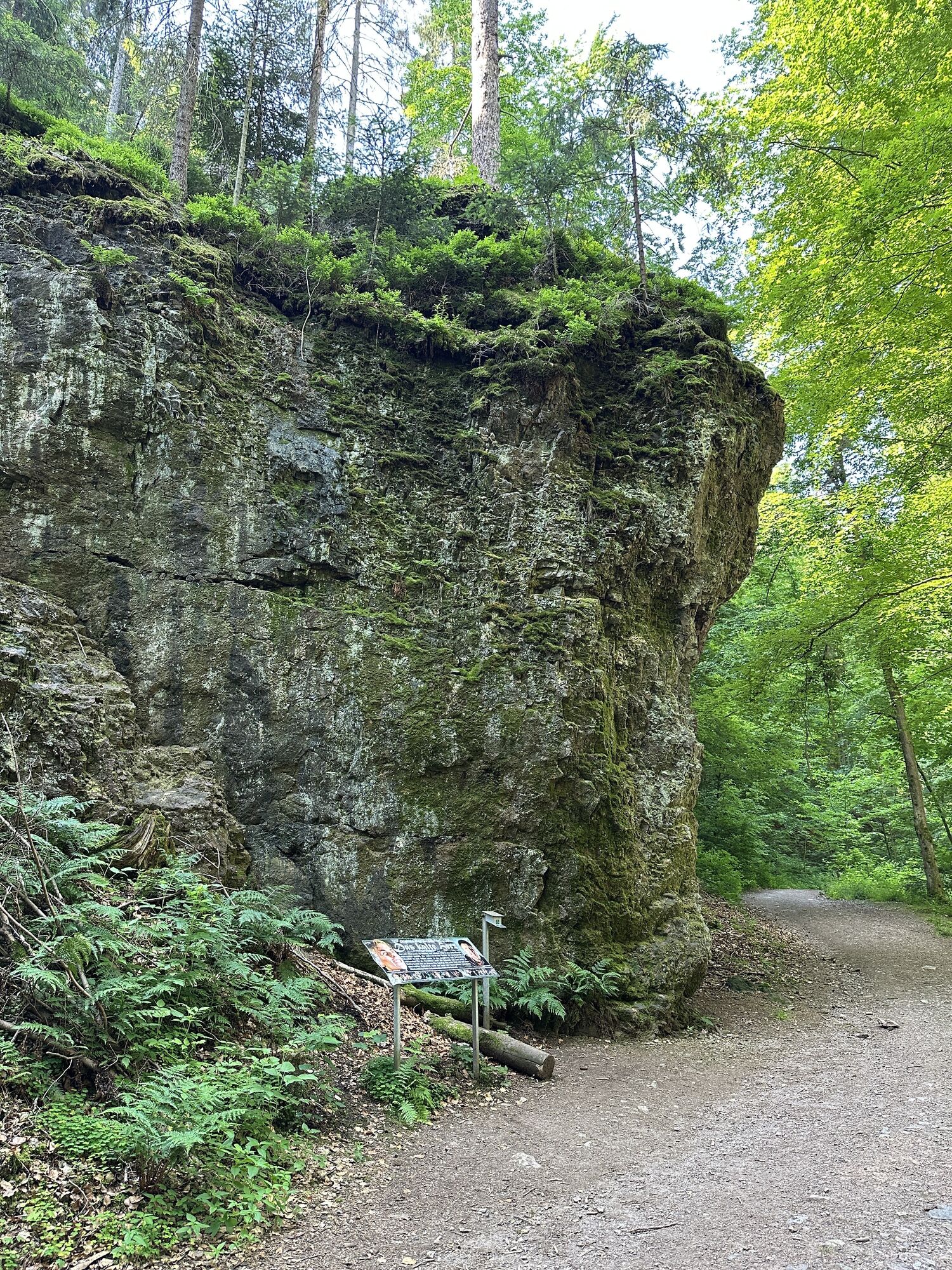
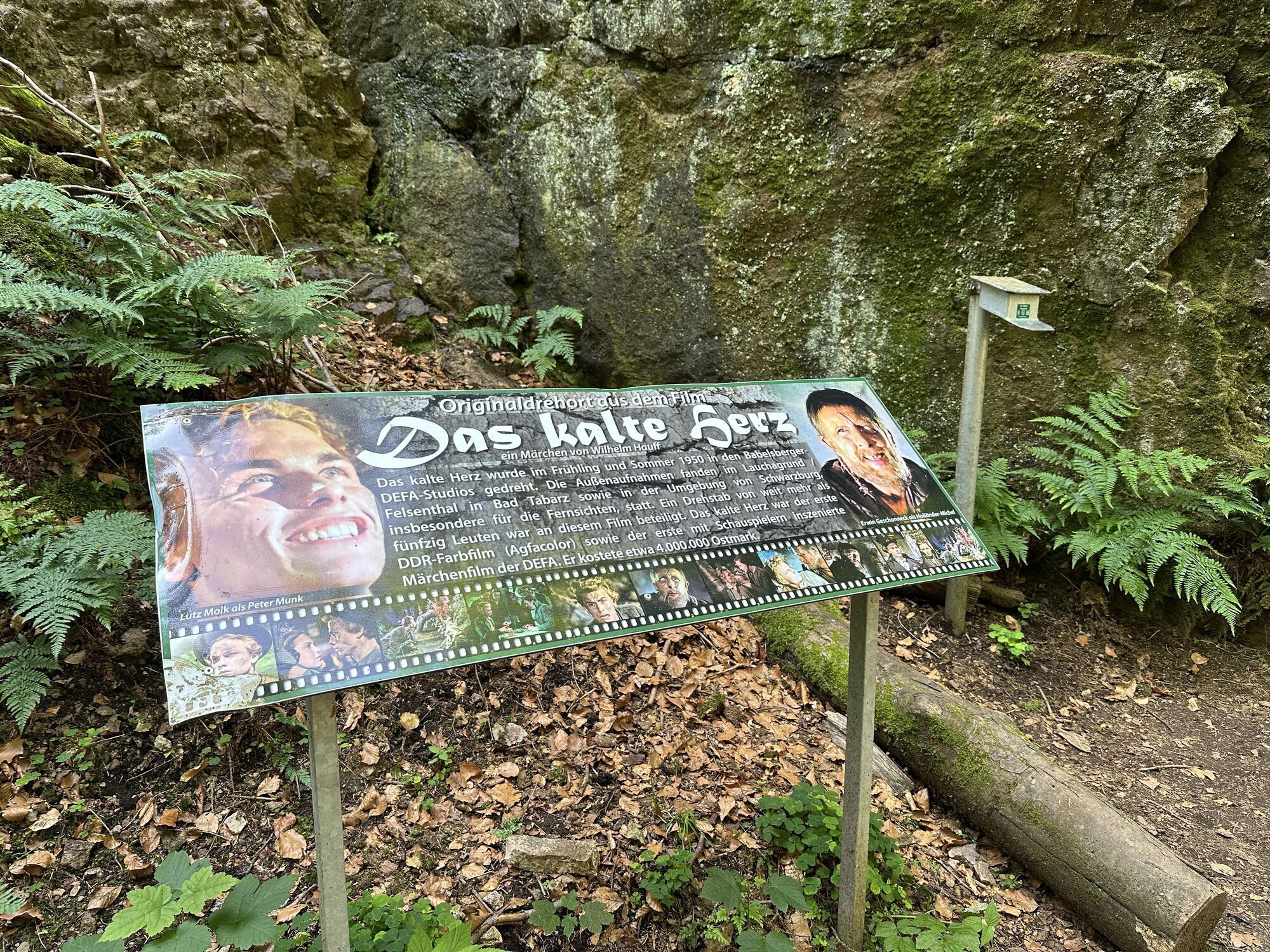
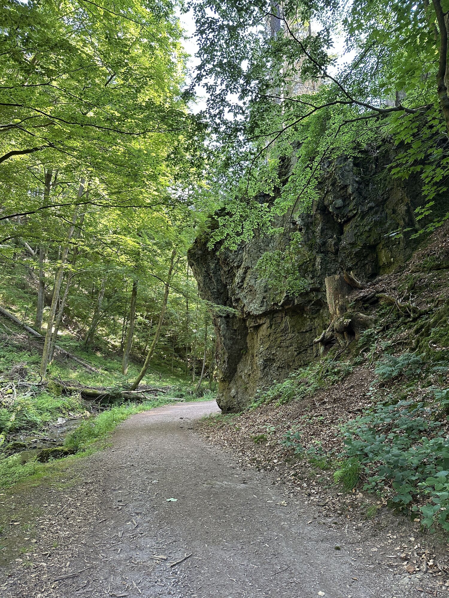
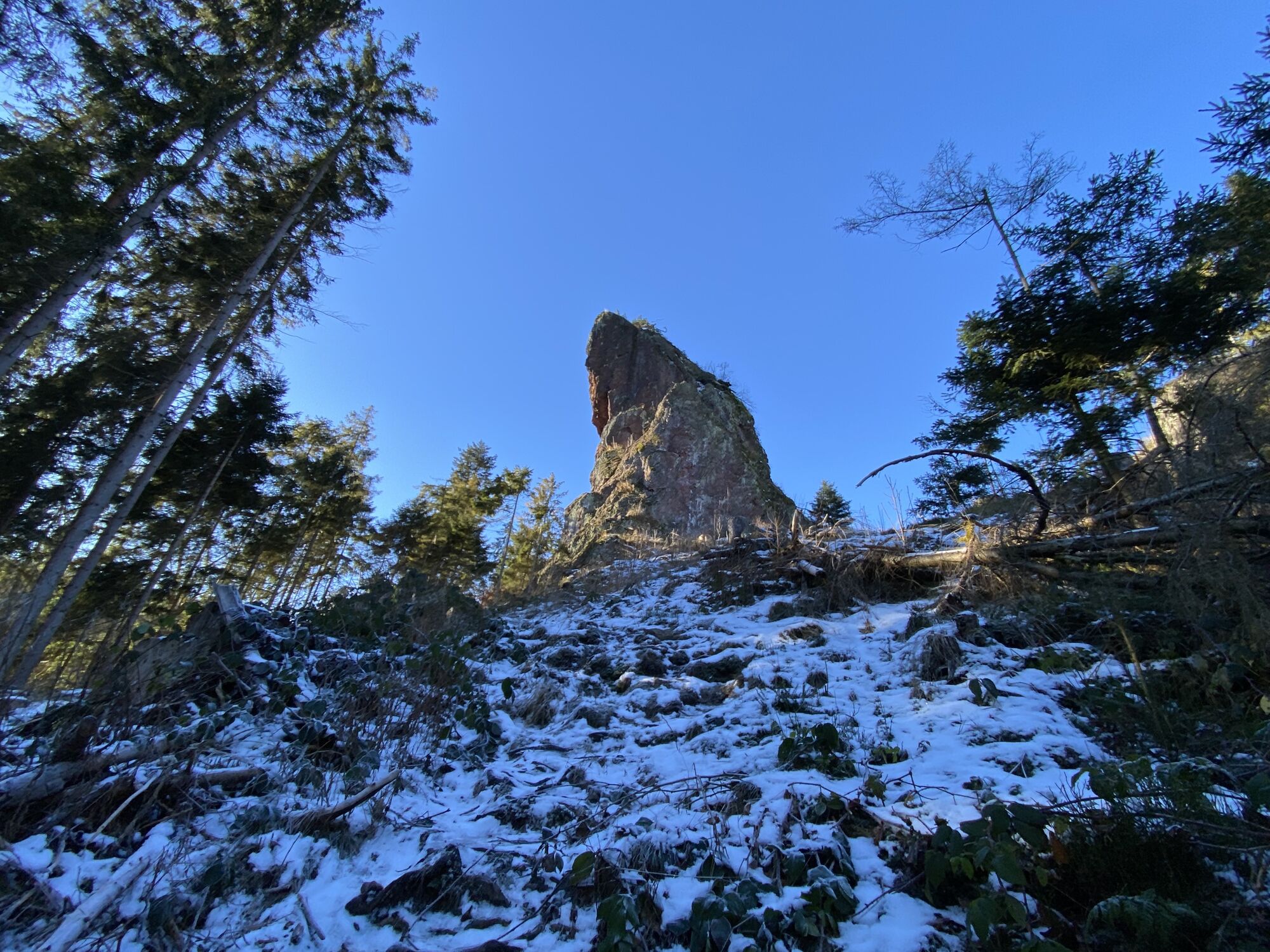
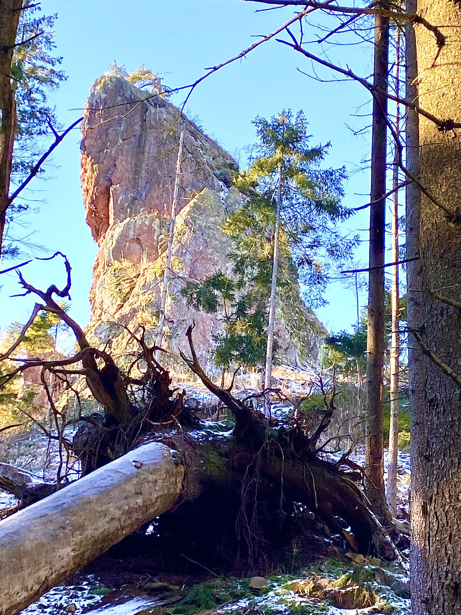
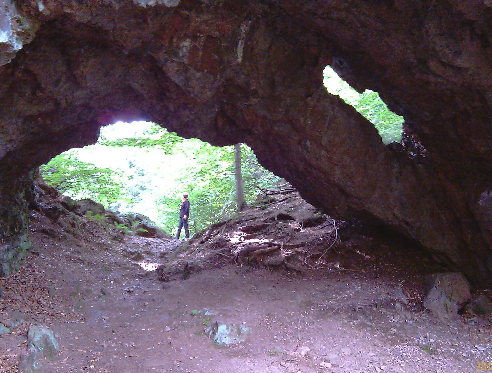
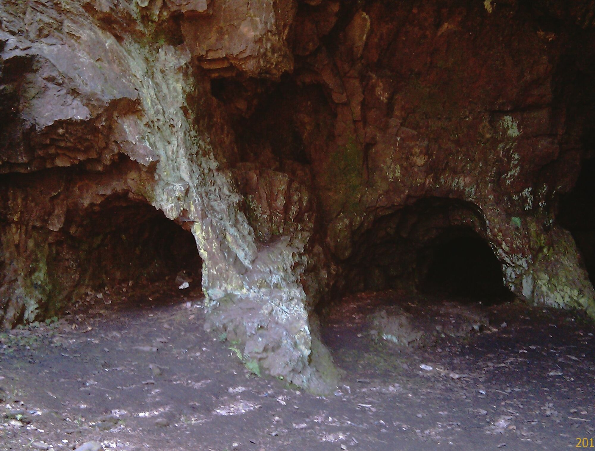
Now it is off to the Rennsteig. Your path leads you directly into the Lauchagrund. There volcanic rocks have formed very unusual formations such as the Backofenlöcher, the Red Tower, or the Torstein. Perhaps you will see a climbing group hanging on the rocks during your hike. The area is considered one of the most beautiful natural climbing parks in Thuringia for sport climbers.
At the fairy-tale meadow in Lauchagrund you will encounter Struwwelpeter and his heroes. Its author Heinrich Hoffmann spent every summer here in Bad Tabarz. In the Struwwelpeter Park you can admire the figures from his book. Your route to the Rennsteig ends at the Grenzwiese, there you have


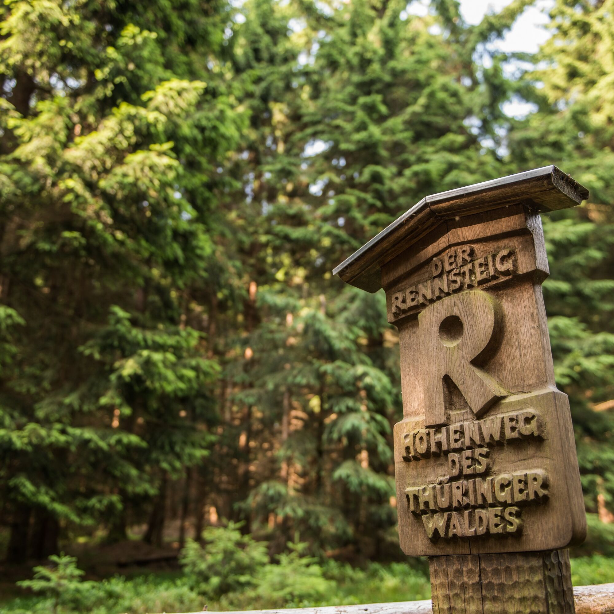
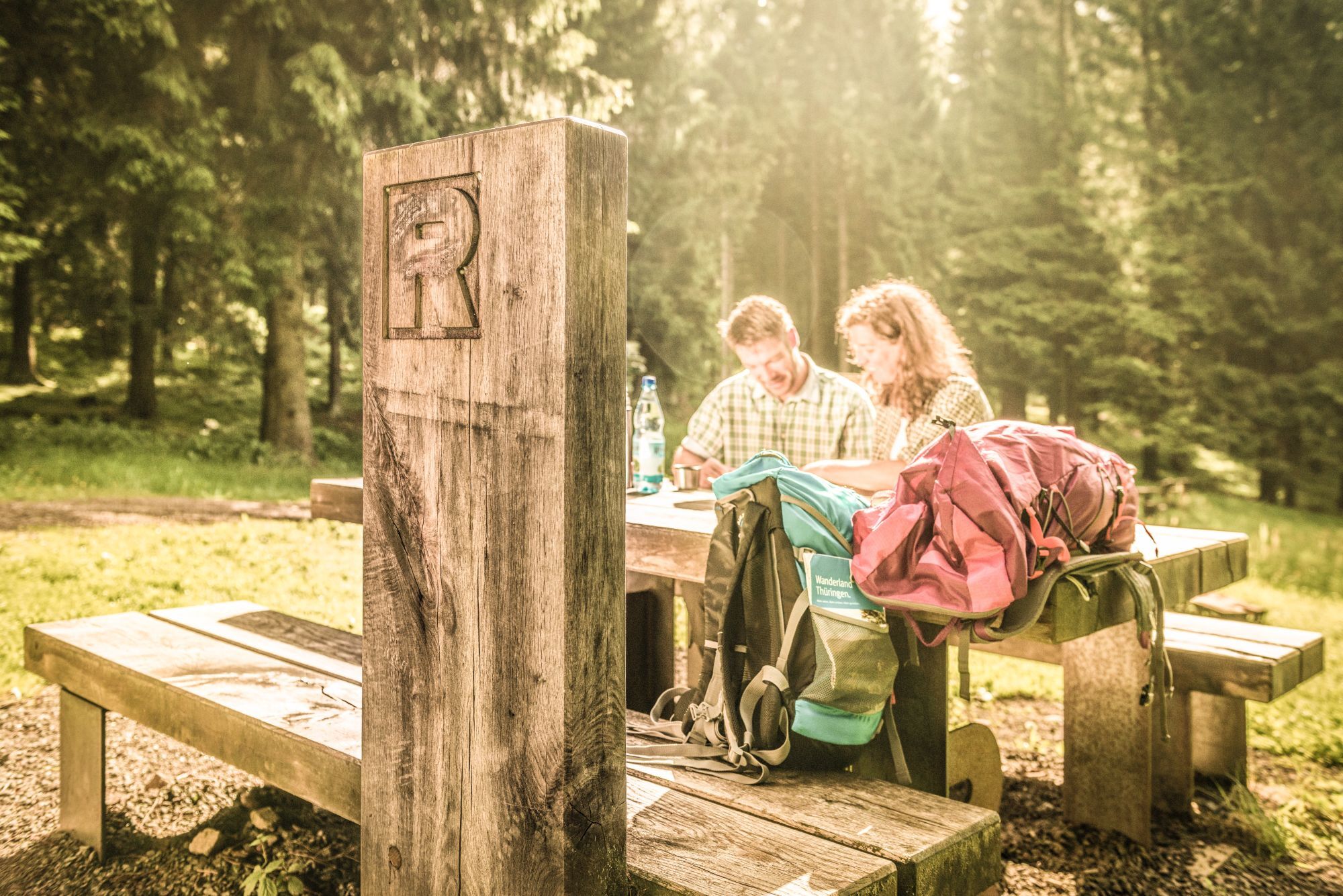

Hiking meeting point - Zimmerbergstrasse - Rennsteig Clinic - Spindlereck - Lauchagrund - Felsental - Wilder Graben - Grenzwiese
Tak
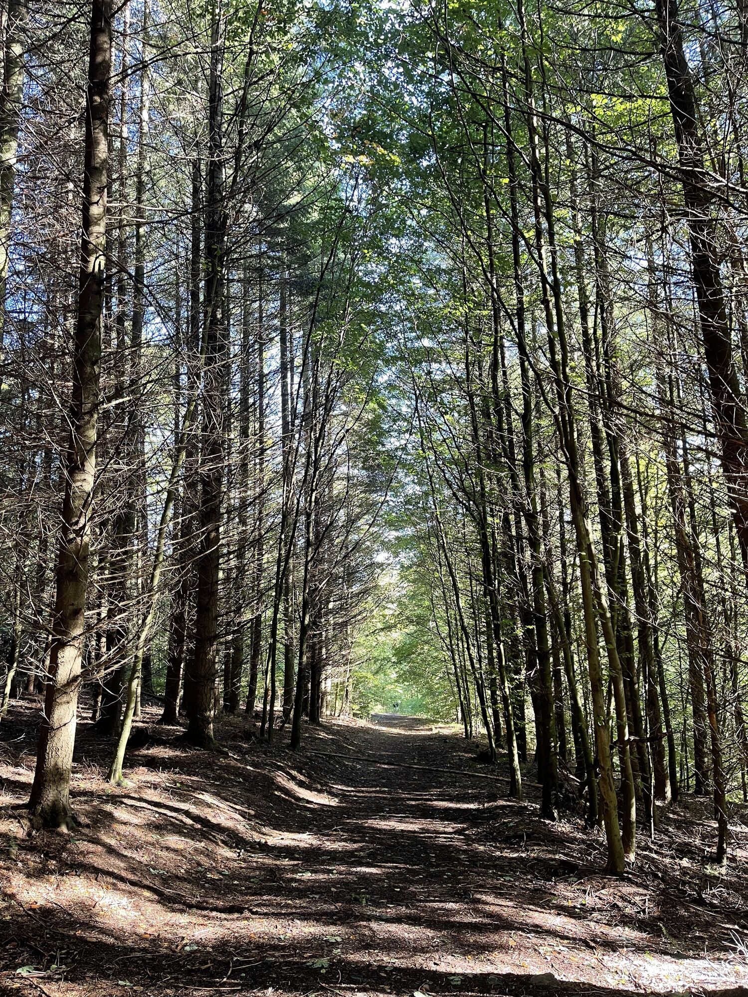
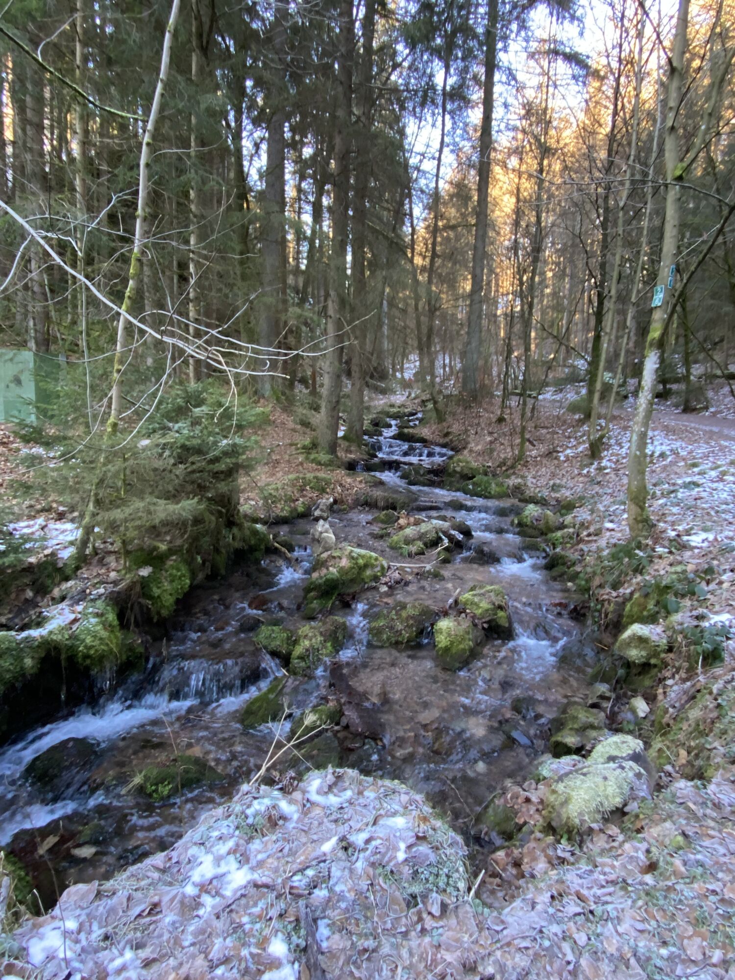
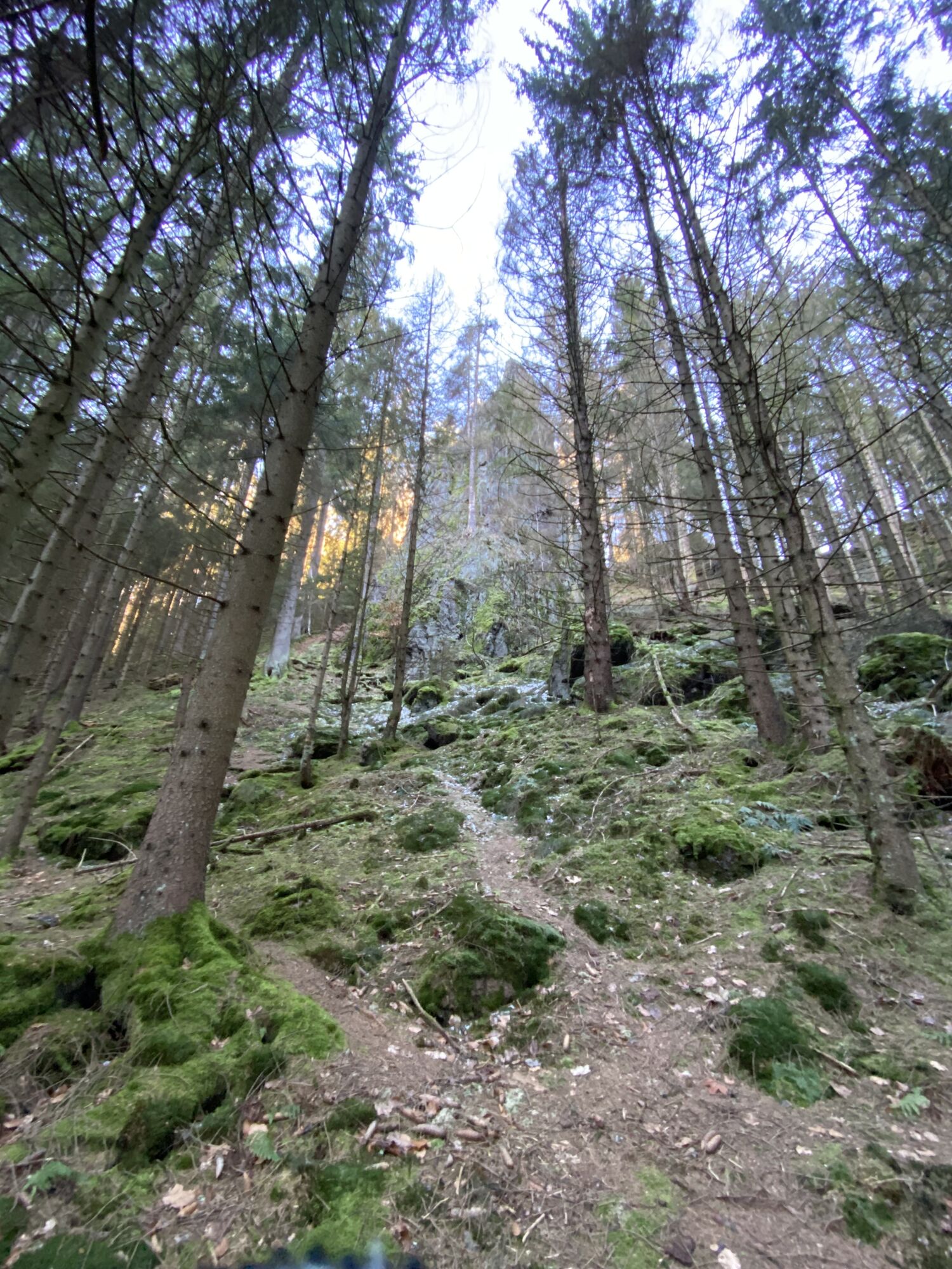
The hiking trail requires sturdy footwear. You will partly walk on narrow paths. Avoid stepping on moss-covered stones and rocks due to the risk of slipping and watch out for deadwood, branches, and fallen trees.
Observe the typical dangers of the forest!
Hiking is at your own risk!
Coming from the A4, exit 41a (Waltershausen) and then continue on L1027 towards Bad Tabarz.
You can reach Bad Tabarz with the bus lines 445/146 from Schmalkalden (connection to DB). Simply use the following link for travel planning:
Just add your desired travel date and starting point.
Theodor-Neubauer-Park / Lauchagrundstrasse Google NAV point
T1
Backofenlöcher
Torstein
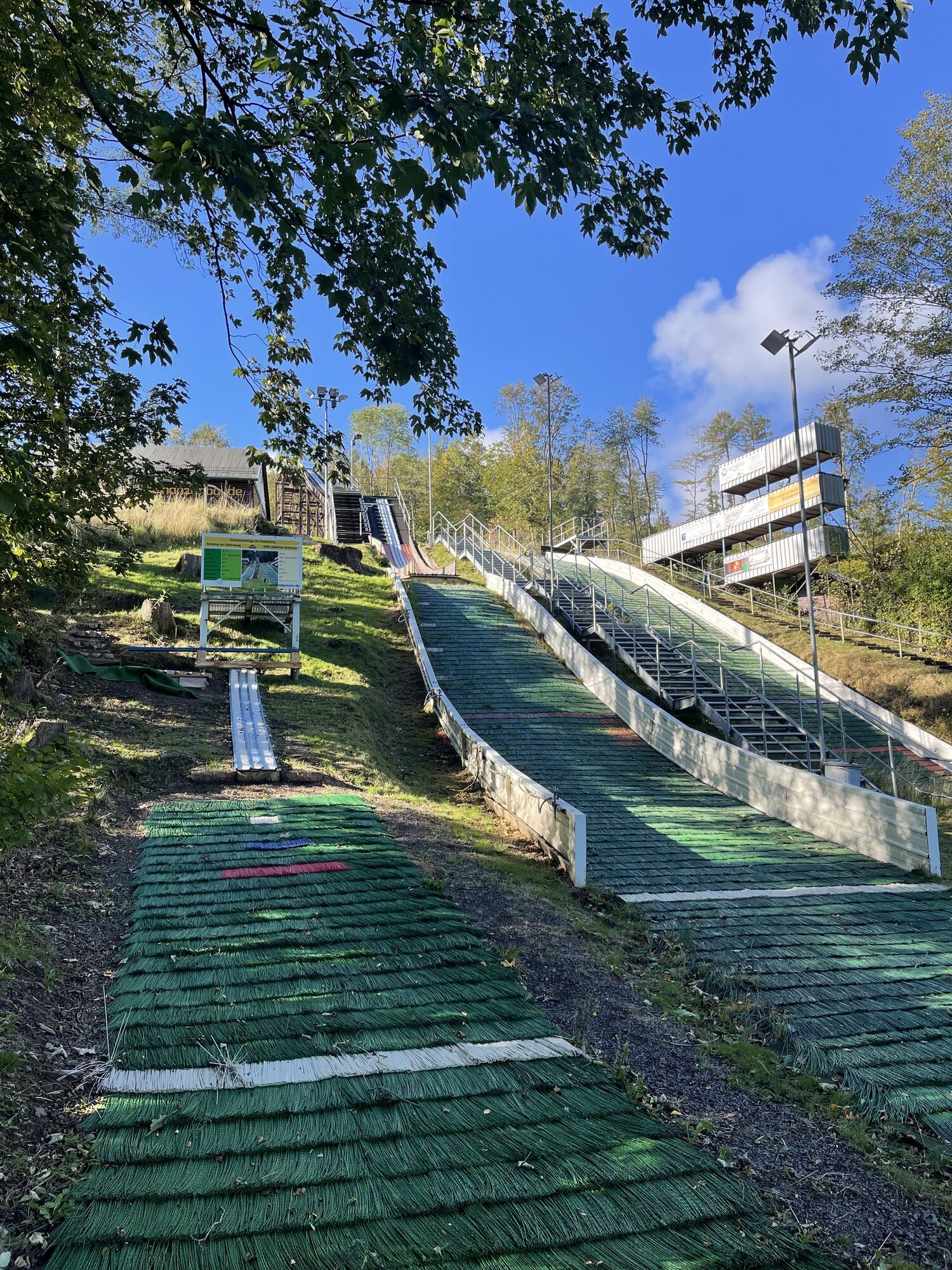
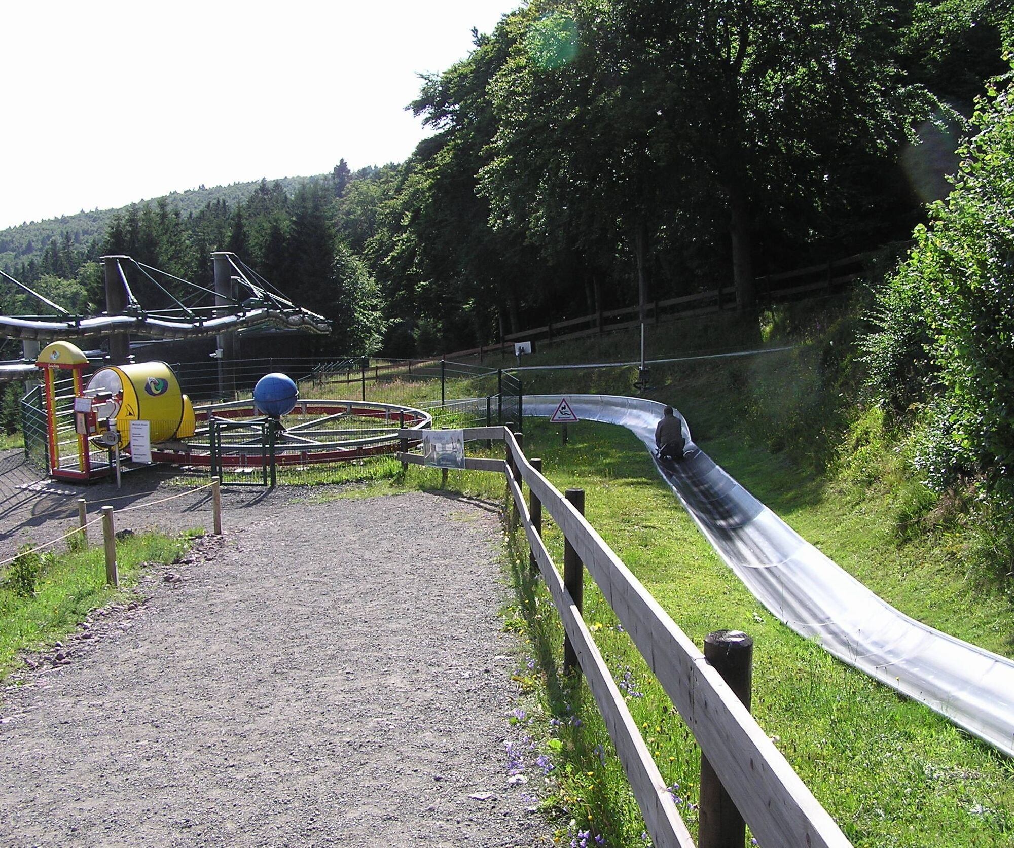
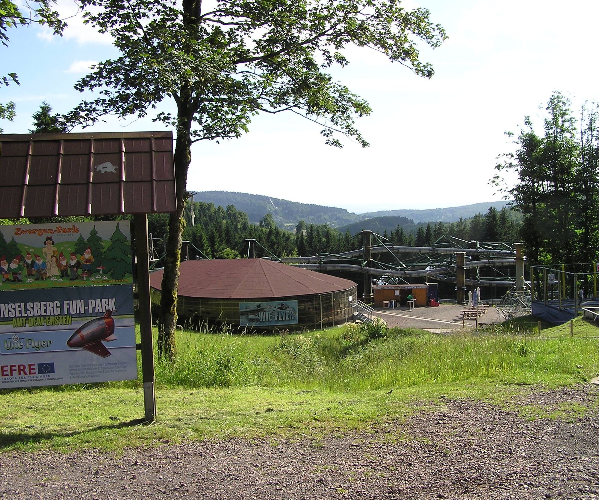
Funpark Inselsberg
Kamery internetowe z trasy

Popularne wycieczki w okolicy
-
4,6
Summit and panoramic route - Route 1 - Bad Tabarz
średniWędrówka 10,9 km -
4,4
Circular hike "Old Tambach Dam", Tambach-D., Thuringian Forest
średniWędrówka 8,33 km -
3,8
Wanderung zum Spitterfall
średniWędrówka 14,6 km -
Tabarzer Vulkansteig
średniWędrówka 9,91 km -
4,5
Circular hike - Legendary Hörselberge - Great Hörselberg near Eisenach - Thuringian Forest
średniWędrówka 10,6 km -
4,4
Circular hiking trail - "Trusetal Landmark Route" - Thuringian Forest
światłoWędrówka 4,02 km -
4,8
Inselsberg tour - Tour 2 - Bad Tabarz
ciężkiWędrówka 15,1 km -
3,2
Von Friedrichroda zum großen Inselsberg
średniWędrówka 22,4 km -
3,5
Backofenloch circular route - route 6 - Bad Tabarz
średniWędrówka 7,04 km -
4,0
Circular route - Tanzbuche - Friedrichroda - Thuringian Forest
średniWędrówka 10,2 km

Wędrówki i tropienie


Nie przegap ofert i inspiracji na następne wakacje
Twój adres e-mail została dodana do listy mailingowej.





